
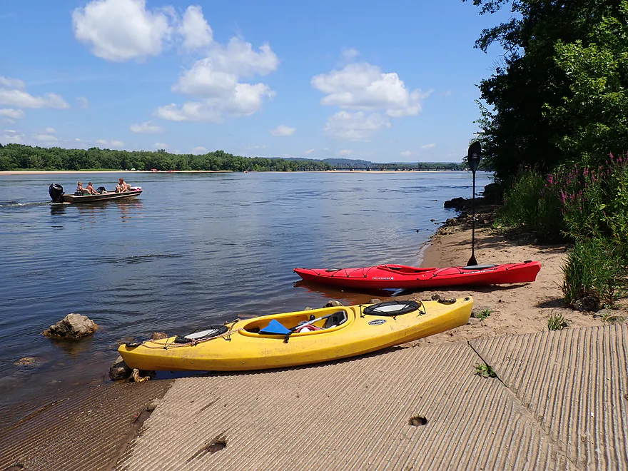
Starting the trip at the Spring Green Boat Launch (aka Hwy 14 Landing)
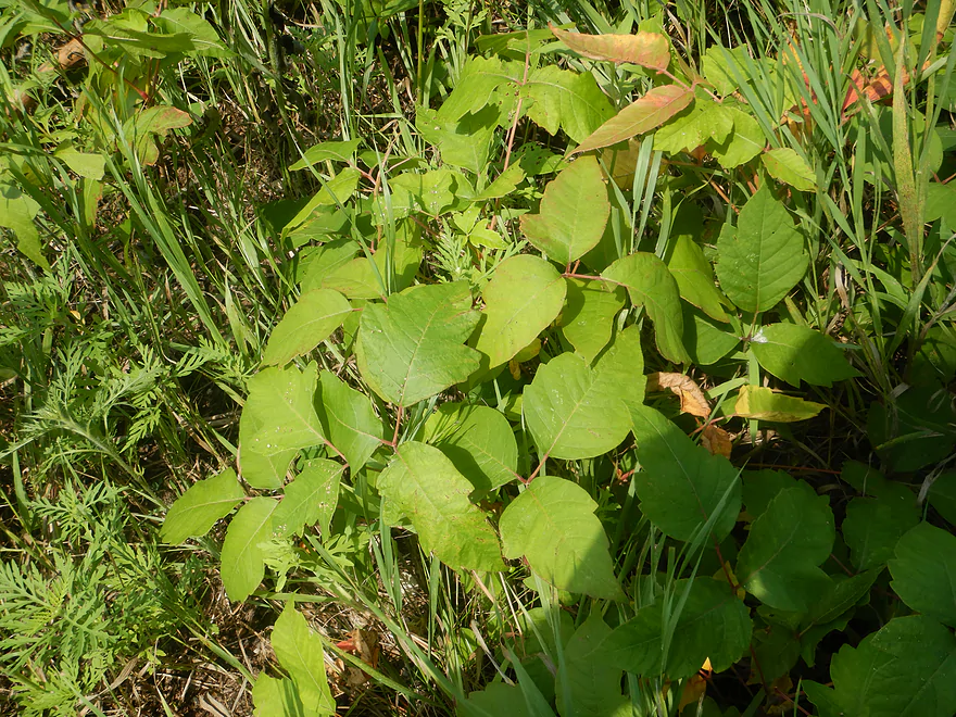
Avoid the poison ivy!
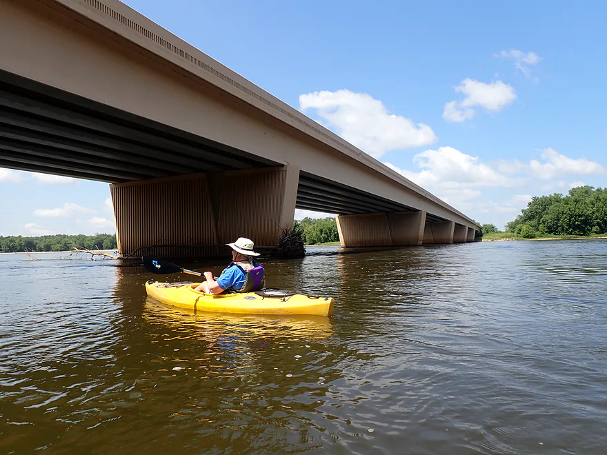
Paddling under the Frank Lloyd Wright Memorial Highway (aka Hwy 14)
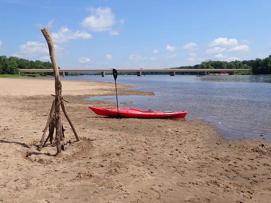
Getting out for a photo-op
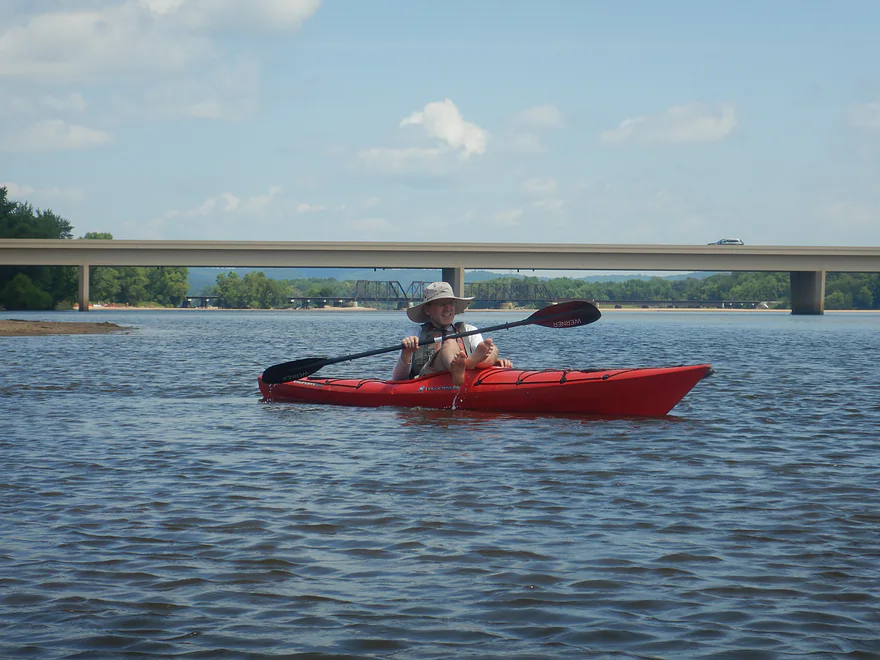
For most of the trip we were within eyesight of at least one bridge
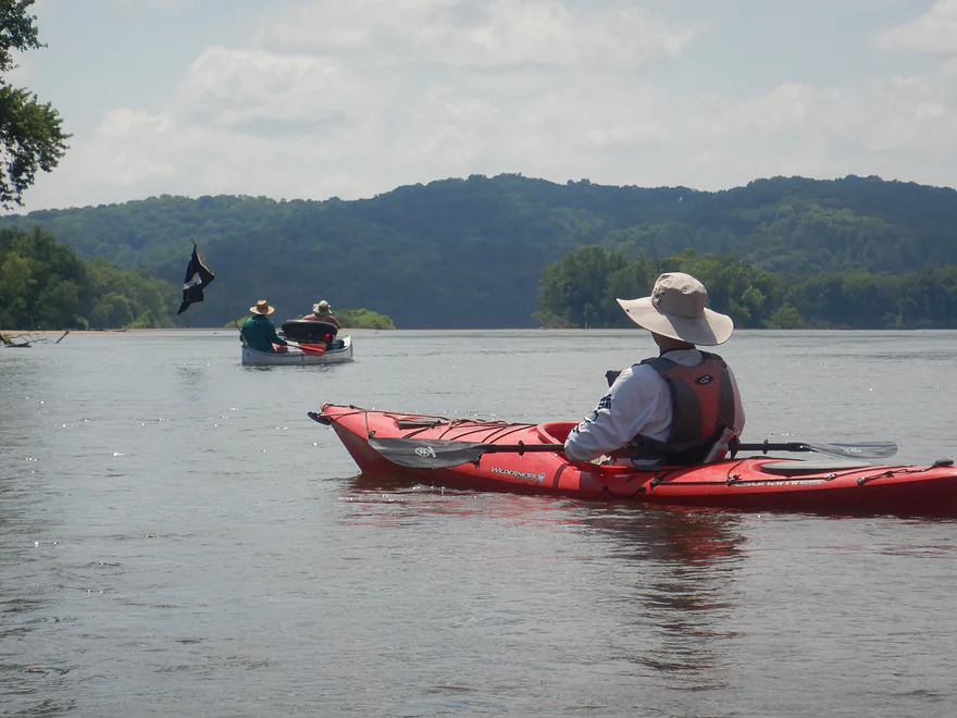
Pirates from Iowa
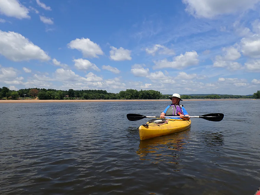
Nice water, sand, sky sandwich
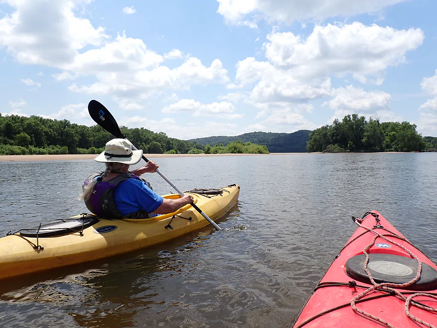
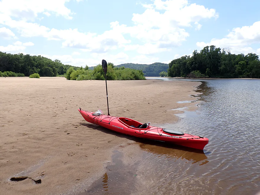
Taking a sandbar break
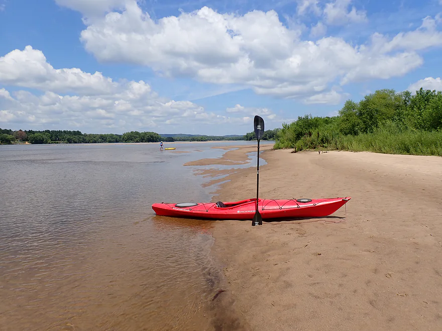
This one was really nice
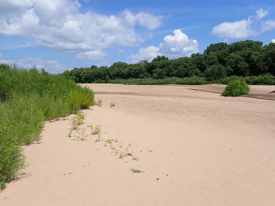
And really big
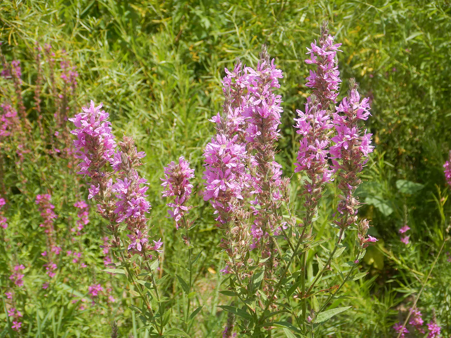
Purple loosestrife
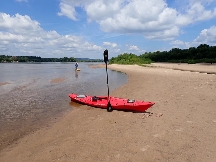
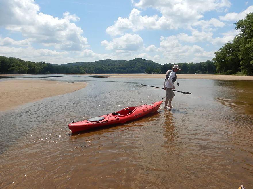
The main channel was plenty deep, but it was shallow close to the sandbars
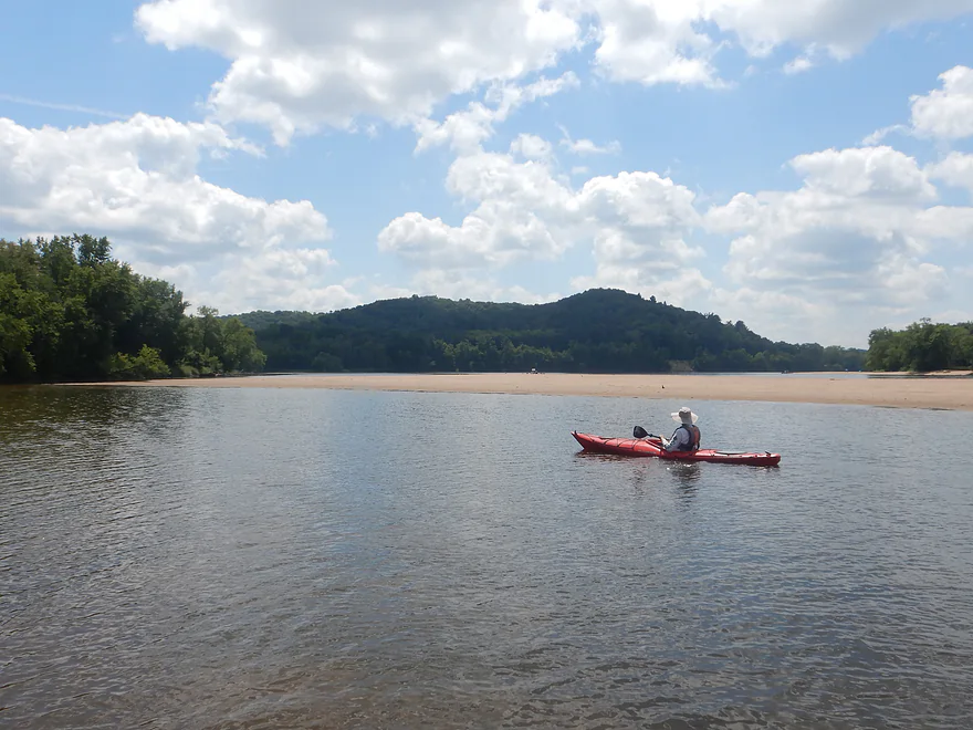
Tower Hill bluff (right)–location of the Helena Shot Tower
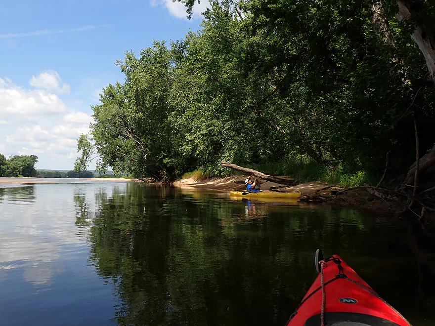
Adjacent shoreline (this is all part of the Tower Hill Bottoms State Natural Area)
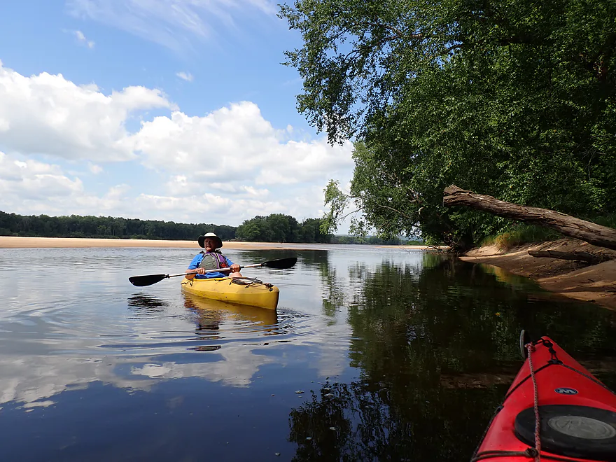
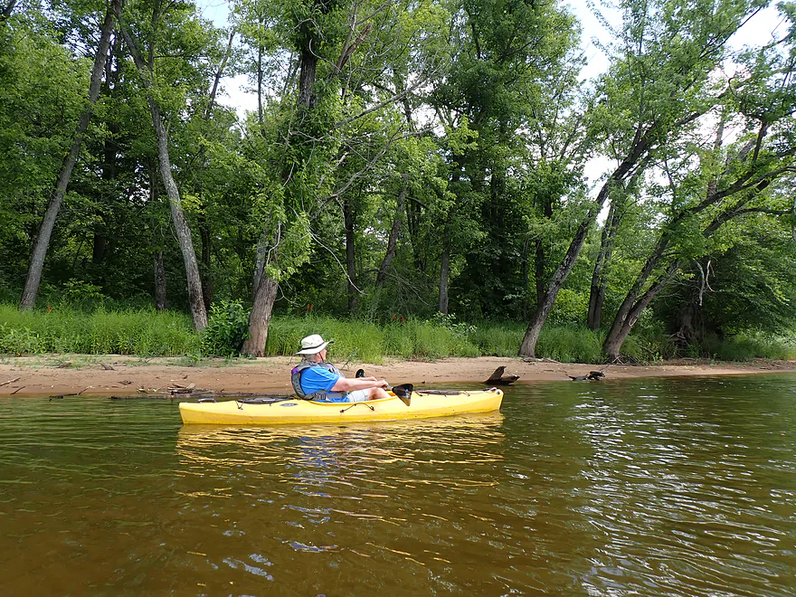
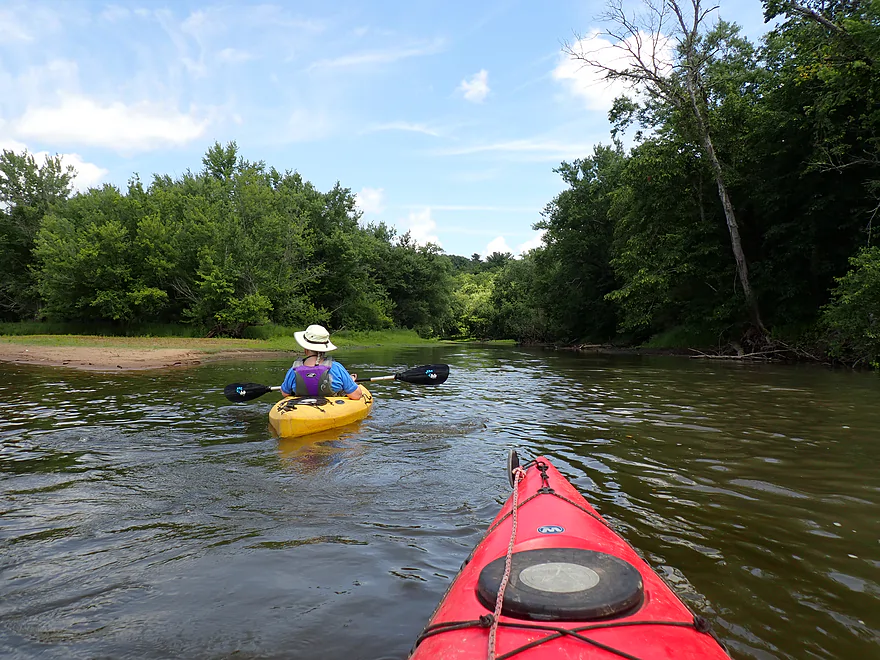
Mouth of Mill Creek
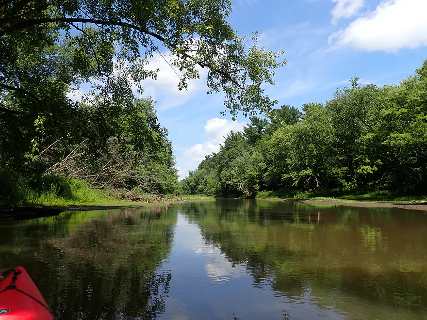
Nice creek, although the current was high and hard to paddle against
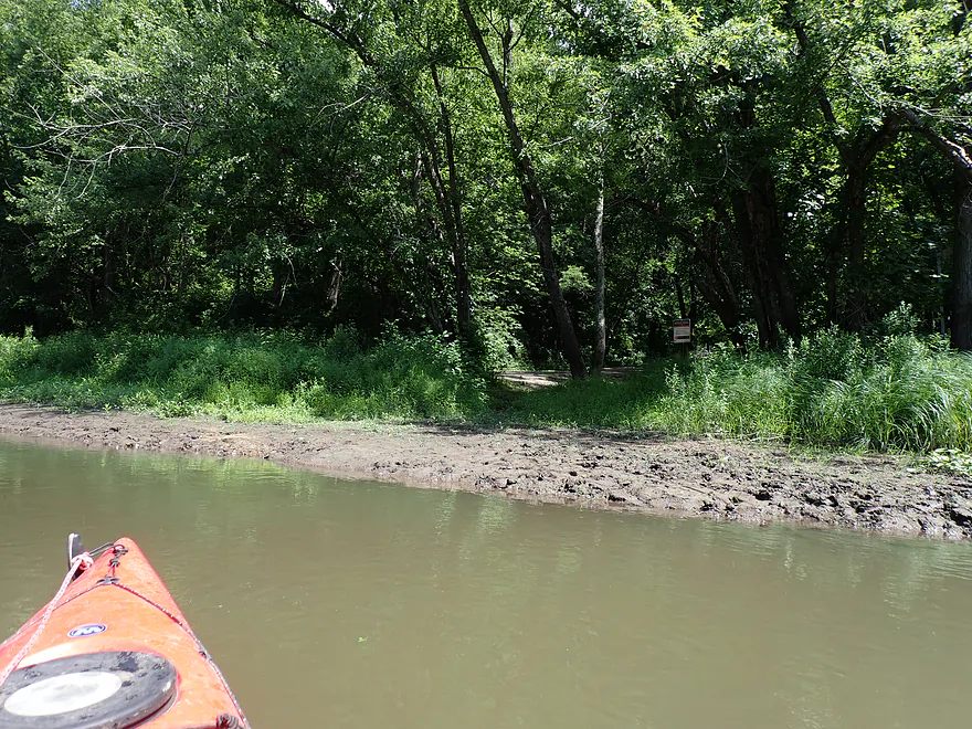
Tower Hill State Park Landing (does not appear to get much use)
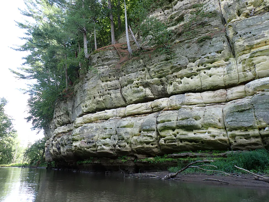
Terrific outcrop
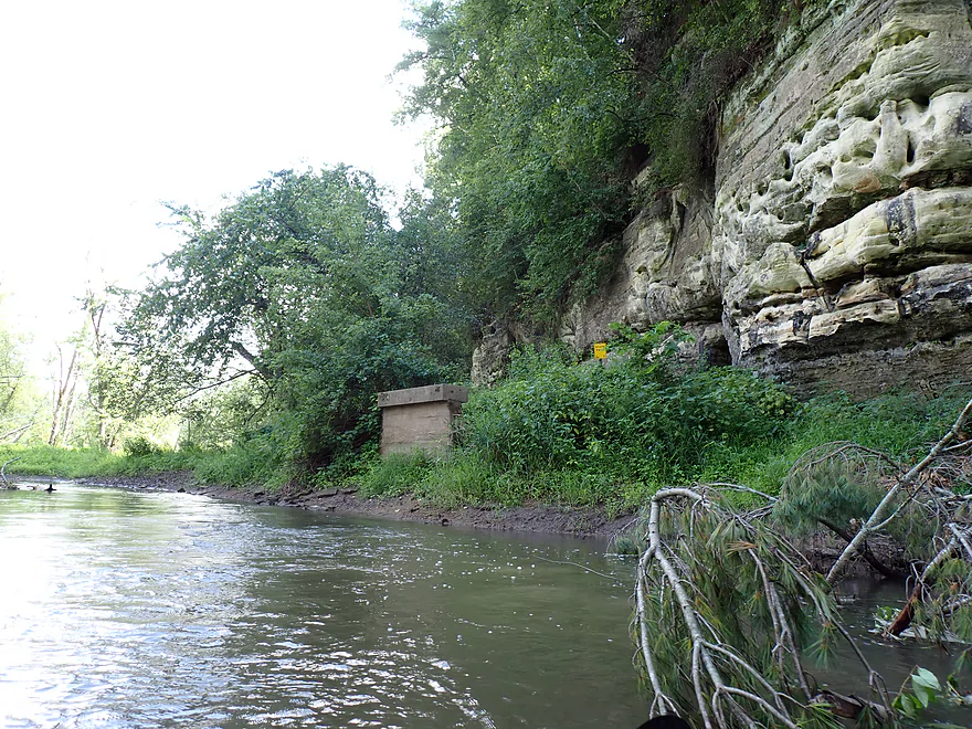
There used to be a building and dock here for loading lead shot from the adjacent shot tower (a tunnel is in back)
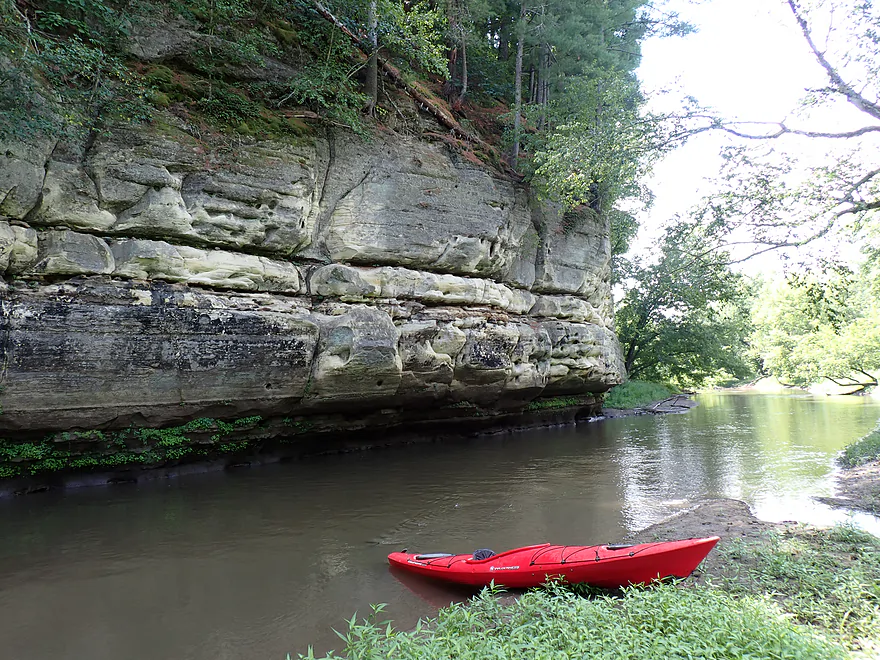
Heading back downstream on Mill Creek
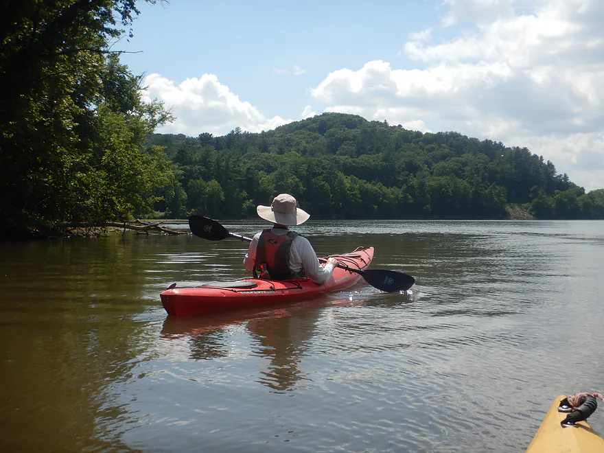
Back on the Wisconsin River
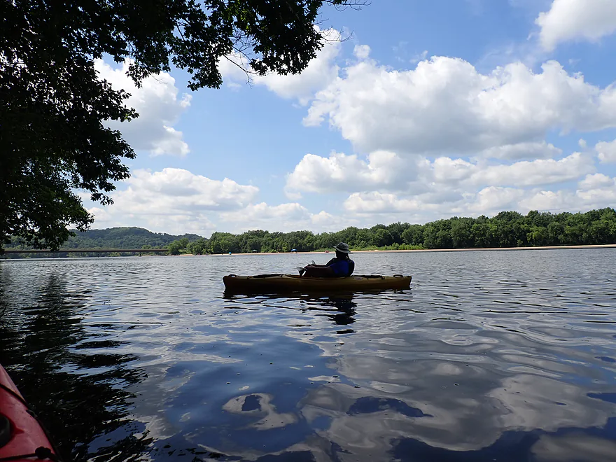
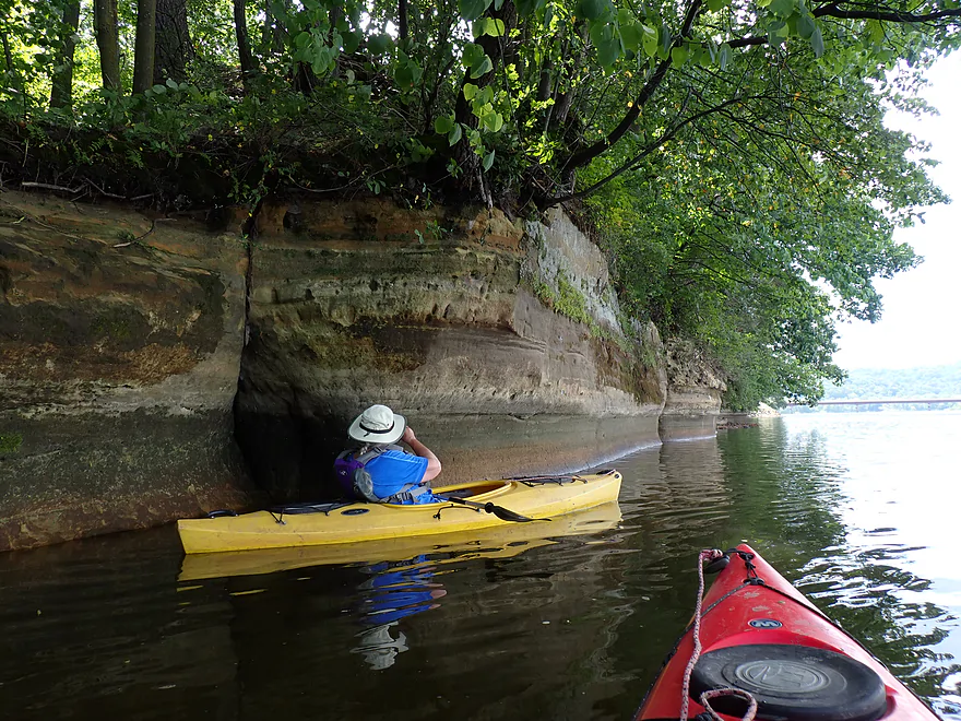
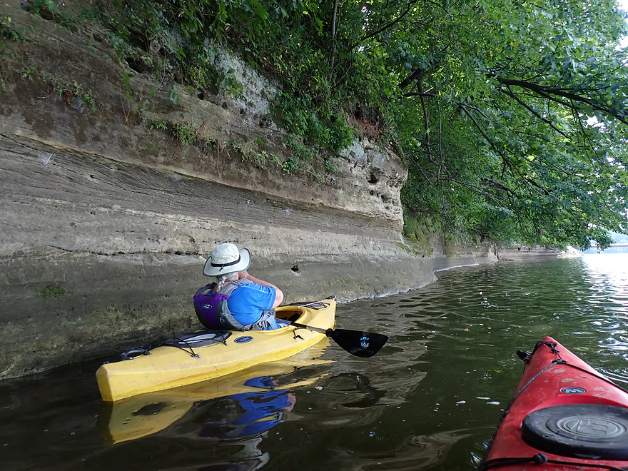
Start of a very long outcrop
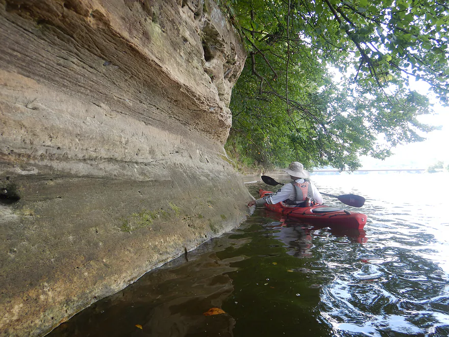
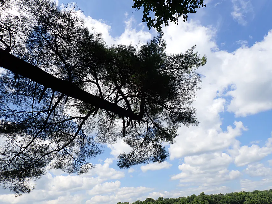
A fallen white pine with a 90-degree bend
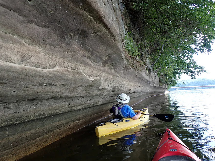
Fantastic concave shape
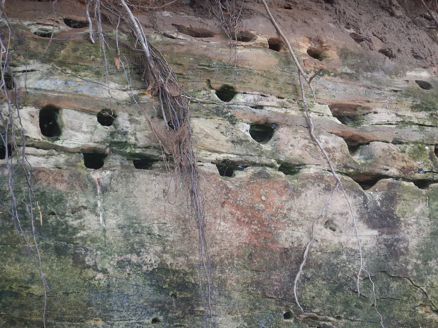
Lots of bank swallow holes were dug into the sandstone
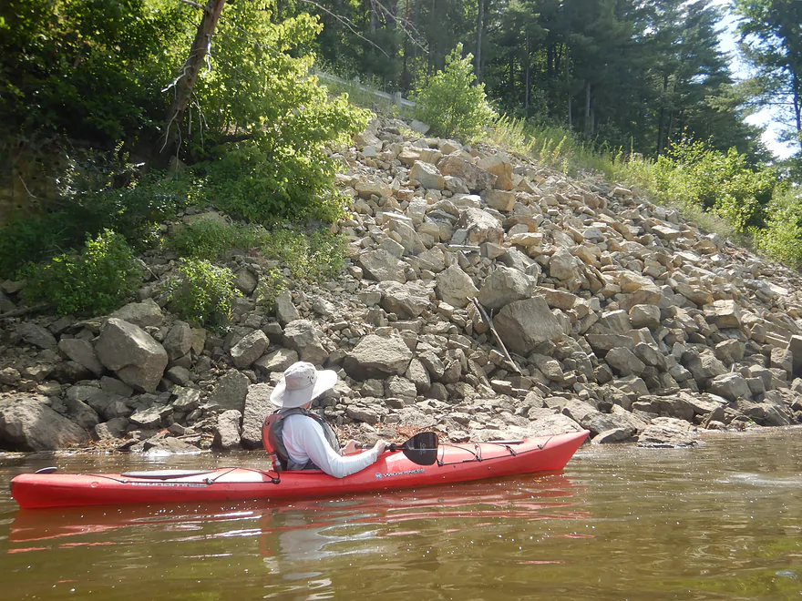
Messy highway fill (and a huge eyesore)
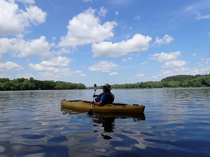
Crossing the channel…
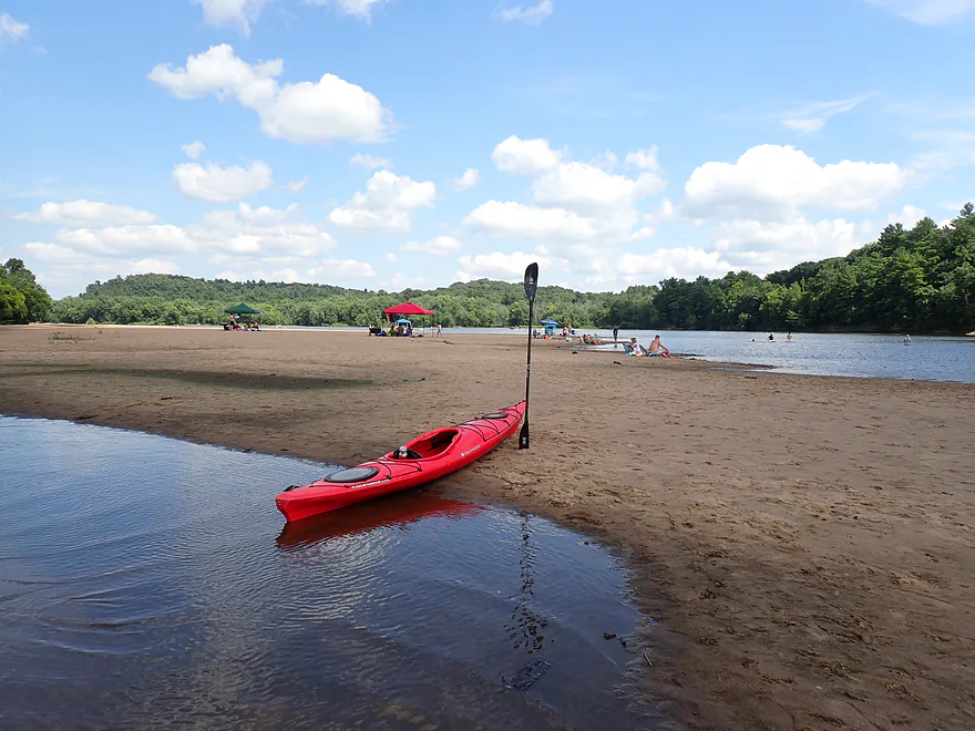
One of the most popular sandbars on the Wisconsin River
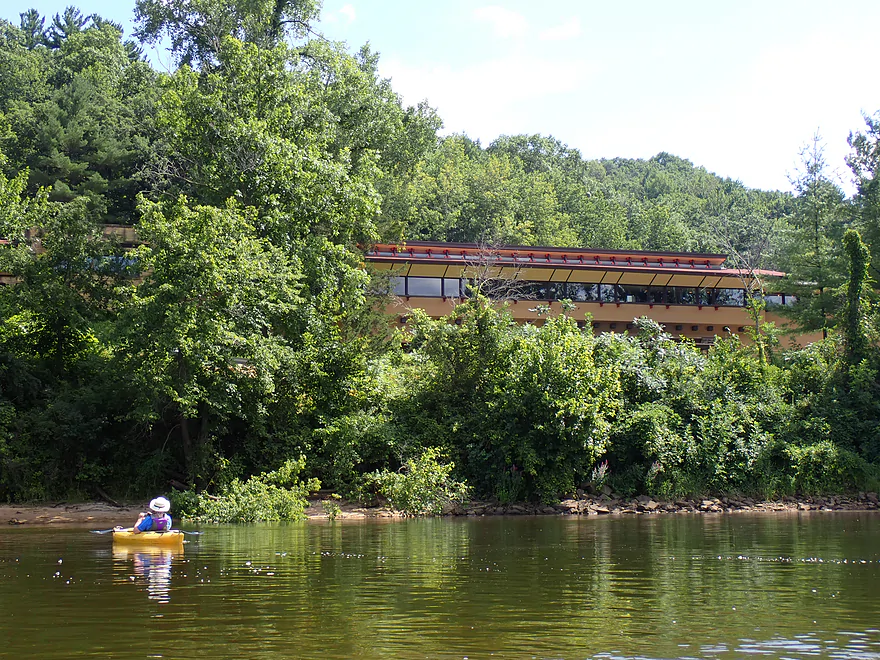
Looking back at the Frank Lloyd Wright Visitor Center
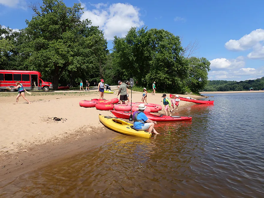
Getting out at Peck’s Landing
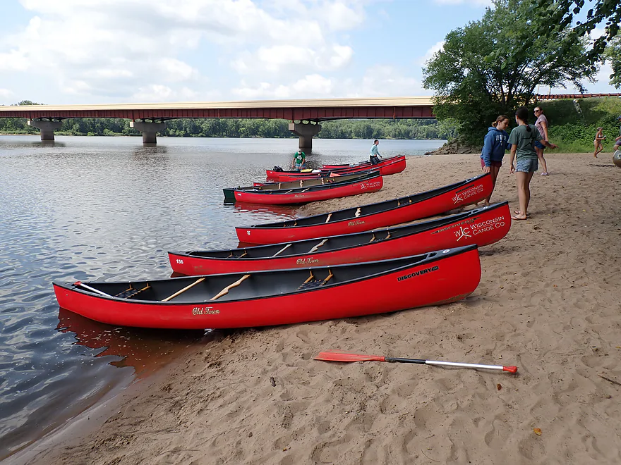
It was hopping (this is a major pickup spot for local outfitters)
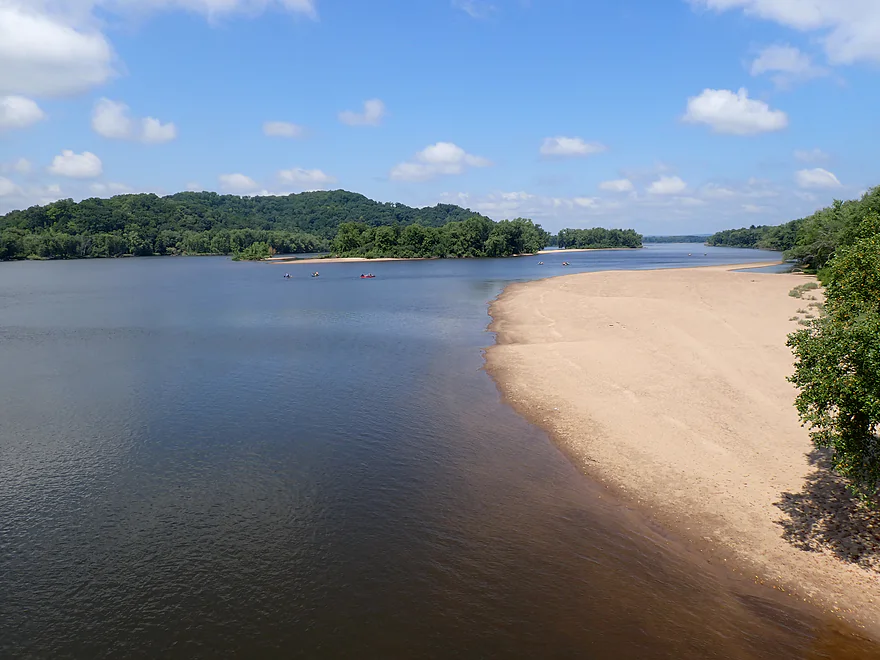
Downstream view from the Hwy 23 bridge
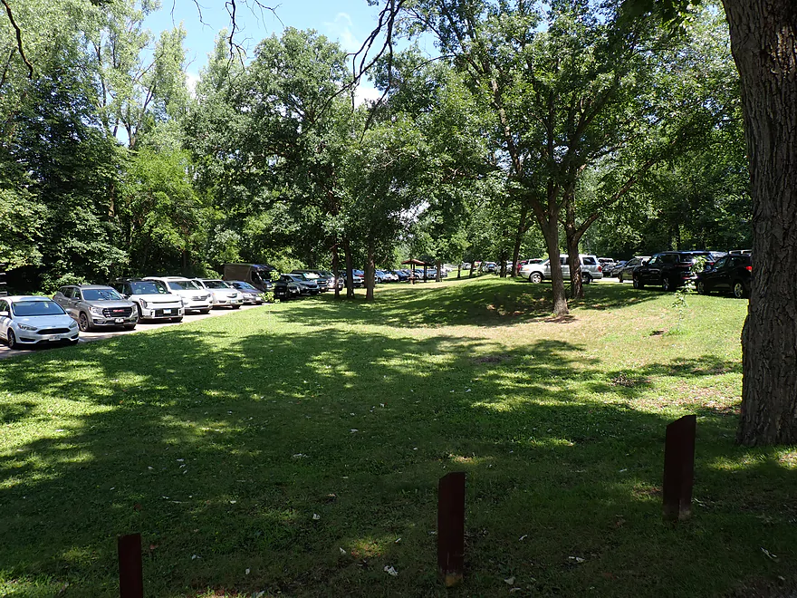
The parking area at Peck’s landing is huge
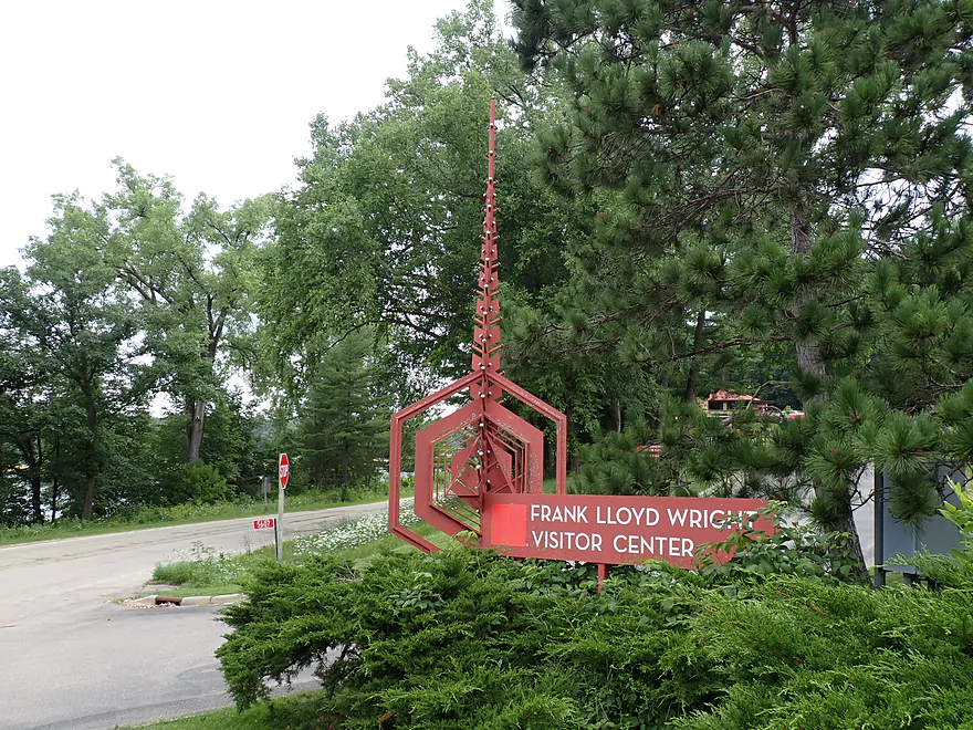
Checking out the Frank Lloyd Wright Visitor Center
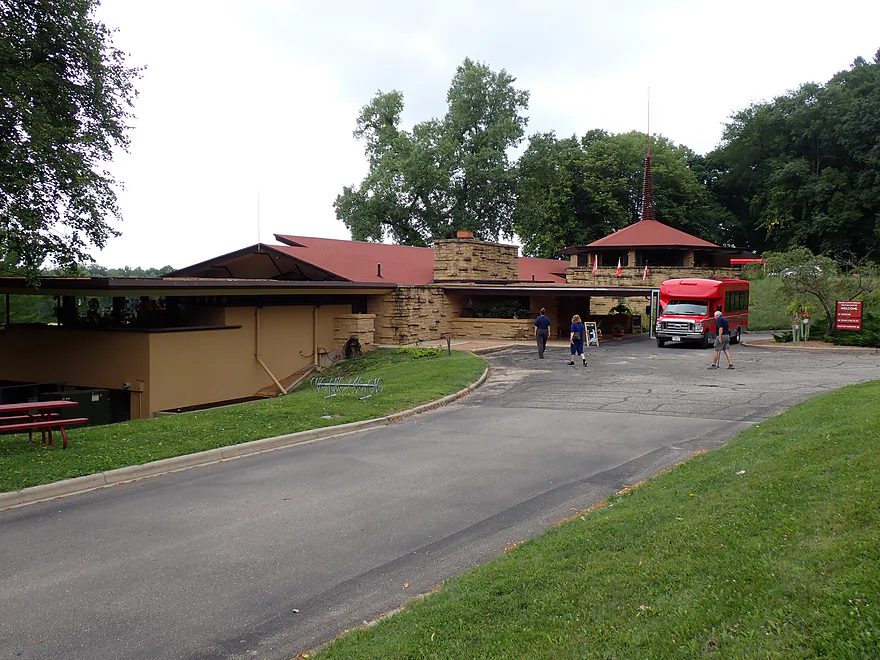
Most of the Taliesin home tours start here
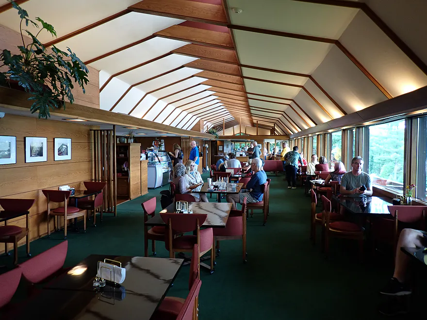
The Visitor Center has both a gift shop and cafe
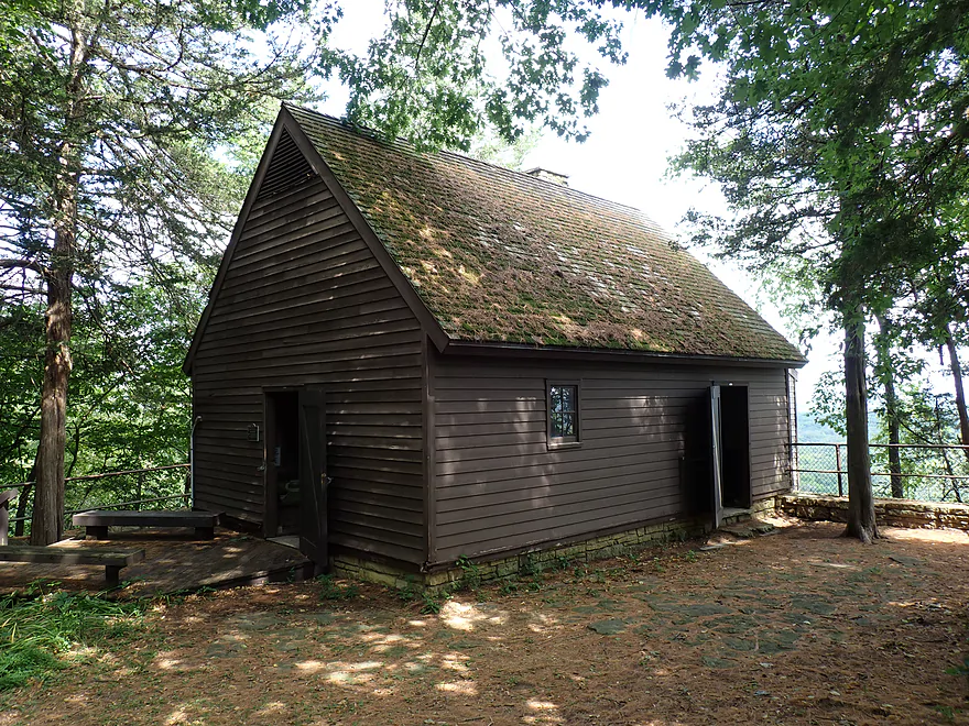
Checking out Tower HIll State Park and its historic lead shot smelter
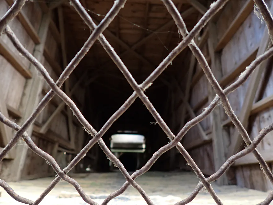
Molten lead used to be dropped down this shaft
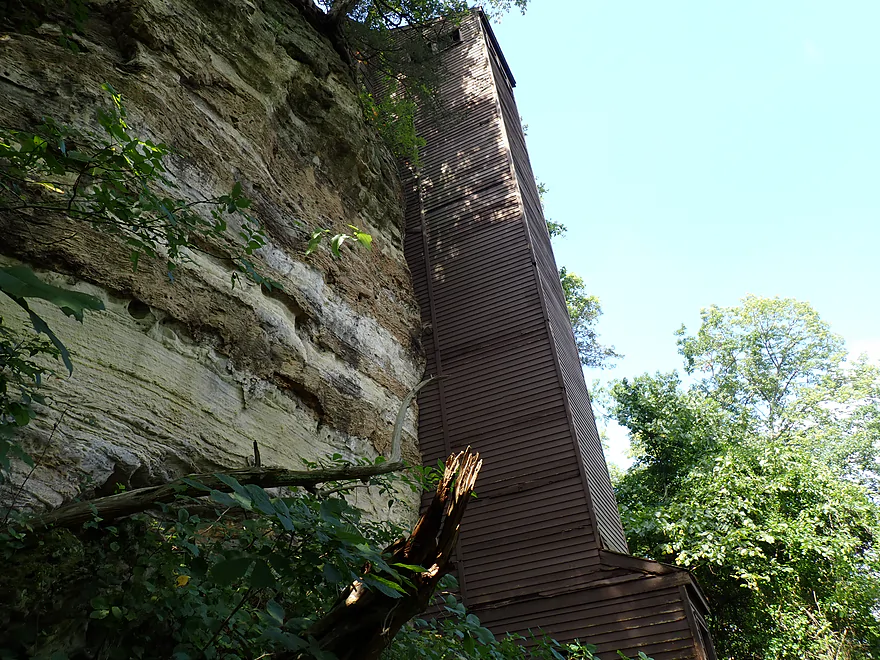
It would descend down a long shaft before reaching Mill Creek
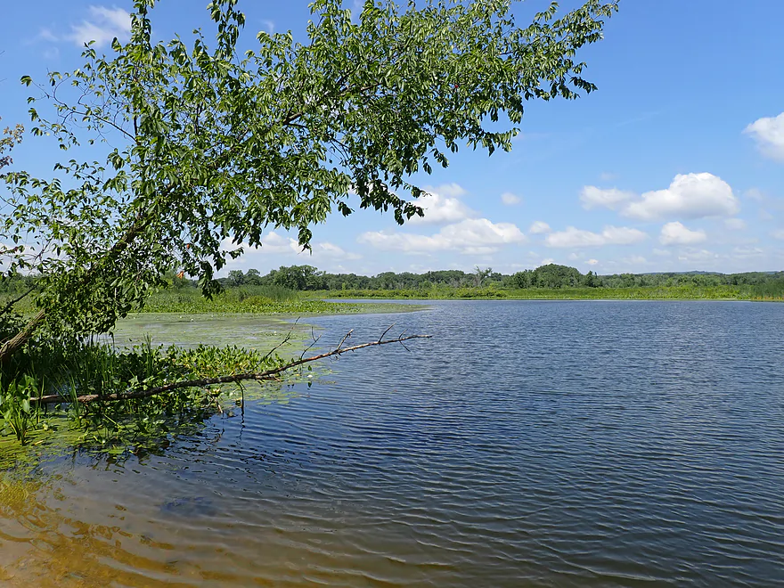
Checking out nearby Helena Lake (looks like a nice paddle)


Wisconsin River – Spring Green

We started our trip at Hwy 14 (aka the Spring Green Boat Launch). This was a hopping busy landing with a surprising number of out-of-state license plates. The current by the landing (and for much of the trip) was remarkably strong. In many ways this stretch is similar to other Lower Wisconsin legs…small islands, sandbars, wooded bluffs, and silver maples along the shore. What perhaps makes this stretch somewhat unique is just how many people we saw… both Spring Green landings are important “ports” for long-distance paddle trips, and local outfitters love to bookend their trips here.
A key feature of paddling the Lower Wisconsin is its sandbars. Locals might take these for granted, but they are unique, unusually plentiful, huge (when water levels are low), clean, and relatively weed-free. They are terrific options for camping or picnics. Unfortunately, with the sheer number of paddlers in the area, most were taken, but we did find one for ourselves where we could take a lunch break.
Following a large cluster of sandbars, we came to the mouth of Mill Creek. You don’t normally think of the Wisconsin as a clear river, but compared to Mill Creek it certainly was! Paddling up Mill Creek is a fun excursion, and despite being a bit muddy, it’s a pleasant stream. A few years ago FLOW (Friends of the Lower Wisconsin Riverway) cleared out the logjams, allowing paddlers to explore about a half mile upstream (photos).
Unfortunately, when the creek is high (as it was for this trip), the strong current makes paddling upstream a workout. I eventually reached a fantastic sandstone outcrop followed by old cement pilings where a building and dock once stood. Just beyond the cliff was the entrance to a tunnel that leads to the famous Helena Shot Tower–a facility that used to use gravity to shape lead shot back in the 1800s. This area is all part of Tower Hill State Park (a trail network provides access to both the smelter at the top and the tunnel at the bottom).
Mill Creek is not the only spot with waterside cliffs. Just downstream from the mouth of the creek there is a terrific 1,700-foot-long low sandstone bluff. In contrast to what I saw on Mill Creek, these cliffs were shorter, smoother, and concave at the bottom. Obscured somewhat by trees, most paddlers simply zip by, oblivious to what they are missing. One final highlight was the Taliesin Visitor Center, which was perched on the bluff overlooking the river.
We ended the trip at Peck’s Landing next to Hwy 23. There is a terrific sandbar here and a massive parking area, which was packed with cars, people, and shuttle buses. Last week I mentioned that the Kickapoo was the most paddled river in Southern Wisconsin, but after seeing Peck’s Landing, I’m not so sure.
In summary, this was a great trip. It featured the classic Lower Wisconsin recipe: great sandbars, scenic bluffs, islands, and occasional rock outcrops. The only downside were the crowds, though simply avoiding summer weekends is an easy solution. It’s worth noting that this was an unusually short trip at just 2 miles (3 if you count Mill Creek and a few side adventures). That suited our schedule, but most paddlers will likely prefer a longer run. Fortunately, it’s very easy to extend the route by putting in at Arena or continuing down to Lone Rock.
Sights included turtles, one great blue heron and a green heron. Sounds included quite a few cicadas.
Frank Lloyd Wright Visitor Center: Located along the Wisconsin River near the Hwy 23 bridge, the visitor center was designed by Wright and features a gift shop and cafe. It’s also the popular starting point for paid tours of Wright’s nearby home and estate.
American Players Theatre: This is a popular outdoor theater that mostly features Shakespeare plays. Beyond the shows themselves, APT is famous for its outdoor setting in the woods, requiring a wooded trail hike to reach its rustic wooden stage. Many in the audience will “tailgate” (cheese and cracker picnics) before the show. Rain can be a problem, but the show will continue through a light drizzle.
Tower Hill State Park: The main feature is a historic 60-foot lead shot tower, which extends another 120 feet down through a shaft bored through solid sandstone. At the base, a horizontal tunnel connects to Mill Creek (and ultimately the Wisconsin River). A trail system lets you tour the historic smelter at the top as well as the loading tunnel at the base of the bluff.
House on the Rock: The main attraction is a unique home that sits atop a sandstone tower and was modeled partly on Japanese design and partly on Frank Lloyd Wright’s work. The main tour includes massive collections and eclectic exhibits in an adjacent building. Some might argue that the expanded tourist attraction has become too over-the-top and gaudy over the years, but the core home still remains pretty cool.
Hwy 14 Landing/Spring Green Boat Launch: This is the main boat ramp for the Spring Green area, but it’s also very popular with paddlers. It’s a good access point, but lacks outhouses and isn’t as nice as Peck’s Landing. If you use this launch, make sure you don’t park in the trailer parking spots or block the ramp when boaters are trying to get in or out.
Alternate Put-ins:
- Trader’s Island Campground: (1.7 miles upstream from Hwy 14) This is private access, but you can pay to use it.
- Arena Landing: (8.1 miles upstream from Hwy 14) This is a great public landing, but in recent years a large sandbar has partially blocked access. This isn’t a problem if you’re okay with a bit of a sandbar portage. Otherwise, the leg between Arena and Spring Green is very nice with great sandbars and nice bluffs.
- Tower Hill State Park Landing: (1.8 miles downstream from Hwy 14) Located 800′ up Mill Creek, this muddy landing doesn’t get much use. When water levels are low, you may have to wade a bit to reach the Wisconsin River. Launching here gives you secluded river access and lets you explore Mill Creek. Just 1000′ upstream is a fantastic sandstone bluff and a tunnel that leads to the historic Helena Shot Tower shaft.
Hwy 23/Peck’s Landing: This is a massive and very popular carry-in access (maybe the largest in the state). The 700′ parking area was packed (a large overflow lot is available if need be). Despite the crowds, it’s a great landing with a nice beach and beautiful scenery. Outhouses are available.
Alternate Take-outs:
- Lone Rock Boat Landing: (7.4 miles downstream from Spring Green) This is a good public access point with a boat ramp. The leg between Spring Green and Lone Rock is scenic.
- Long Island Public Access: (7.5 miles) A good option if you want to avoid competing with boat trailers. Note that the old access was destroyed during bridge construction, but I believe a new landing was built downstream near the new bridge.
Bike Shuttle – Peck’s Landing to Spring Green Boat Launch: 3.9 miles with 89′ of ascent. This would be a doable bike shuttle, but traffic is a bit heavy. I suspect most paddlers will prefer a car shuttle.
Rentals: There are a number of livery and rental services for the Lower Wisconsin, and I highly recommend using my livery map to view all your options. Here are the closest services.
- Wisconsin Canoe Company: (608) 432-5058 – E4440 US Hwy 14, Spring Green, WI 53588
- Wisconsin Riverside Resort: (608) 588-2826 – S13220 Shifflet Rd, Spring Green, WI 53588
- Traders Bar and Grill (aka Sandbar Canoe Rental): (608) 588-7282 – 6174 Highway 14, Arena, WI 53503
- Wisconsin River Outings: (608) 375-5300 – Sauk City & Boscobel, WI
- River View Hills Canoe Rental: (608) 739-3472 – 24678 State Road 60, Muscoda, WI 53573
- Bender’s Bluffview Canoe & Kayak Rental: (608) 544-2906 – E10032 Huerth Rd, Sauk City, WI 53583
- Blackhawk River Run: (608) 643-6724 – 10032 County Road Y, Mazomanie, WI 53560
Wind: Strong headwinds are common on the Lower Wisconsin. Check the wind forecast before planning your trip, as paddling into a stiff headwind can quickly turn a fun trip into a slog.
Rapids/Current: There are no rapids, but the current still moves at a surprisingly good clip despite the river’s large size. I doubt upstream round trips would be viable.
Poison Ivy: This is everywhere along the shoreline and at both landings. Watch where you step.
Strainers: There are a number of fallen trees along the shoreline, often where the channel is deep and fast. These edges are deceptively dangerous. Paddlers should stay well clear of strainers and always wear a life jacket.
Undertows: The Lower Wisconsin is infamous for its unpredictable currents and undertows. Many paddlers like to take swim breaks by the sandbars, not realizing the danger they are in. You can be innocently wading in shallow water and then step into deeper water with current and get pulled in (often at the back end of the sandbar). If you must swim, stay away from the deep spots with fast current (and consider wearing a life jacket).
Closest Gauge: Wisconsin River @ Muscoda
Trip Depth: 6100 CFS or 1.64′
Navigability Estimates: Generally speaking, lower is better for the sandbars. It usually takes until July for river levels to come down far enough for good sandbars to appear. September and October are usually the shallowest and can be exceptional times to paddle the river (biggest sandbars and fewest people).
- 2,000-3,000 CFS: Very rarely does the river get this low, but if it does, you’ll have sandbar heaven. Yeah, some walking might be required but it shouldn’t be too bad.
- 3,001-5,000 CFS: Very ideal conditions with great sandbars. Low levels should scare away noisy motorboaters as well.
- 5,001-7,500 CFS: A common depth and ok conditions for sandbars.
- 7,501-10,000 CFS: Much smaller sandbars but still viable for camping.
- 10,001-12,500 CFS: Only the tops of the largest sandbars will be available. Camping is possible, but there could be competition for good spots.
- 12,501-15,000 CFS: Likely only a few sandbars. Water quality will also likely be somewhat murky and dirty at these levels (not a good time for swimming).
- 15,001-20,000 CFS: River will be very high, pushy, and somewhat muddy.
- 20,001+ CFS: Strong currents and strainers can be a serious hazard. This is too high IMO.
Quick Overview
- Upstream of Stevens Point: I don't have information yet on these stretches.
- Stevens Point to Lake Petenwell: ~42 miles. This stretch in Central Wisconsin used to have many natural rapids, but most have been buried under 8 dams, some of which are now difficult portages. Despite this there is still some good paddling to be had in this region.
- Lake Petenwell: 14.9 miles. This is a large flowage lake that is challenging for paddlers because of frequent strong winds and big waves.
- Castle Rock Lake: 14.5 miles. Another large flowage lake that is likely too big for enjoyable paddling.
- Castle Rock Lake Dam to Lemonweir River: 9.4 miles. This pre-Dells leg isn't elite, but is a pleasant stretch.
- Lemonweir River to Indian Trails Landing: 21.7 miles. This includes the famous Upper Dells and Lower Dells which feature many scenic sandstone outcrops.
- Indian Trails Landing to Portage: 16 miles. This is an overlooked section sandwiched between the Dells and Portage. While the scenery isn't top-notch, it does have many sandbars and few people, which is a nice combination.
- Portage to Lake Wisconsin: 14.3 miles. This is a neat stretch of the river with many sandbars and cliffs, but the shoreline is very developed and motorboat traffic can be heavy on weekends.
- Lake Wisconsin: 14.5 miles. This is a challenging lake for paddling because of the huge and frequent waves created by motorboats.
- Prairie du Sac Dam to Port Andrews: 57 miles. This is the first half of the famous Lower Wisconsin Riverway. This is a super popular stretch for paddlers with the highlights being large sandbars, big bluffs, occasional cliffs, and fun side sloughs to explore.
- Port Andrews to Wyalusing: 40 miles. This is the second half of the Lower Wisconsin Riverway which has far fewer paddlers and sandbars. But the bluffs and sloughs are larger and more interesting.
Detailed Overview
- Upstream of Merrill: I don't have enough information yet on these legs to comment.
- Merrill Dam to Riverside Park: 0.5 miles. Might include some light rapids below the dam.
- Riverside Park in Merrill to Wisconsin River Forest Landing: 8.6 miles. A good prospect.
- Wisconsin River Forest Landing to Brokaw Boat Landing: 5.7 miles.
- Wisconsin River Forest Landing to Jesse Park: 1.4 miles. A terrific stretch with small boulder gardens, one set of Class 1-2 rapids, gravel bars and a nice sand bank.
- Jesse Park to Brokaw Boat Landing: 4.3 miles. A good stretch with scenic wooded banks and occasional gravel bars.
- Brokaw Boat Landing to Gilbert Park: 5.1 miles. River slows down and becomes hillier. This stretch is an ok prospect and goes past the old Brokaw paper plant that has been shut down. Paddlers must navigate Class 1 rapids and a 2' drop where the old Brokaw dam used to be.
- Gilbert Park to Wausau Boat Dock: 1.5 miles. An impounded stretch through Wausau. There are numerous alternate access options to choose from.
- Wausau Boat Dock to Oak Island Boat Ramp: 1.2 miles. A nice stretch that includes Barkers Island and Isle of Ferns Park. But the Wausau dam does require a portage. This stretch parallels the famous Wausau Whitewater Park.
- Oak Island Boat Ramp to Rothschild Dam Access: 5.8 miles. Likely mostly uninteresting flowage paddling. There are many alternate access options to choose from.
- Rothschild Dam Access to Zimpro Park: 1.0 miles. This might be a nice stretch.
- Zimpro Park to River Road Boat Landing: 7.6 miles. The first half of this leg is likely nice river paddling, but the second leg is probably just an uninteresting flowage.
- Chucks Landing/Mosinee Dam to Bean's Eddy Boat Landing: 2.8 miles. Likely a nice leg. You might be able to launch by the dam where there should be some nice rapids and boulders.
- Bean's Eddy Boat Landing to Seagull Boat Landing: 5.1 miles. Mostly uninteresting flowage paddling. Although there might be some nice sand banks on the eastern shore.
- Seagull Boat Landing to Dubay Dam Access: 5.3 miles. Mostly uninteresting flowage paddling.
- Dubay Dam Access to River Road Landing: 5.5 miles. This could be a nice stretch of river.
- River Road Landing to Old US 10 Landing: 2.3 miles. Likely an ok leg.
- Old US 10 Landing to Stevens Point Dam: 5.6 miles. Probably uninteresting flowage paddling. Many alternate access options closer to Stevens Point.
- Stevens Point Dam to Blue Heron Boat Landing: 4.2 miles.
- Steven Point Dam to Whiting Dam: 2.6 miles. Starts slow and uninteresting, but the river becomes very scenic after the Hwy HH bridge. The rock formations below both dams are very striking. Many alt access points.
- Whiting Dam to Kimberly Clark Dam/Al Tech Park: 0.6 miles. Incredible scenery with exposed bedrock and boulder gardens below the Whiting Dam. Some rapids, but nothing major. The Kimberly Clark Dam is a dangerous low-head dam and should be treated carefully.
- Kimberly Clark Dam to Blue Heron Landing: 1.0 miles. Class 2 rapids below the dam, but after that the river slows dramatically and splits into many sub-channels and islands. Round trips on this leg are possible. I chose the far western channel where there were some nice rocky stretches.
- Blue Heron Landing to Mill Creek Landing: 4.1 miles. Likely a mediocre paddle with nothing special. Galecke Park is an alternate access.
- Mill Creek Landing to Biron Dam North Gate: 7.6 miles. Mostly uninteresting flowage paddling. Several alternate access options on route.
- Biron Dam North Gate to Veteran's Memorial Park: 4.5 miles.
- Biron Dam North Gate to Biron Landing: 1.0 miles. Super scenic stretch by two islands with many granite boulders.
- Biron Landing to Legion Park: 3.0 miles. A nice stretch by Big Island. The west channel is more undeveloped...but the east channel has several scenic granite islands.
- Portage through Legion Park: 680'. A steep wall separates the park from the river but in two locations the wall is short enough to get over (see map). Paddlers may want to consider a longer portage to bypass some of the shallow rocky stretches by Legion Park.
- Legion Park to Veteran's Memorial Park: 0.4 miles. A scenic stretch that features a large boulder field and the powerhouse for a large paper mill.
- Veteran's Memorial Park to Port Edwards Landing: 3.8 miles
- Veteran's Memorial Park to Demitz Park: 0.8 miles. A pleasant stretch that includes Belle Island.
- Demitz Park to Ben Hansen Park: 1.2 miles. This leg goes by Garrison Island and Edwards Island. Lyon Park is located across the river from Demitz Park and is another access option.
- Ben Hansen Park to Port Edwards Landing: 1.8 miles. Above the Centralia dam there are several small but nice islands. Portage the dam on the left bank (follow the 1000' trail through the golf course). Below the dam there are scenic rock formations. Close to the Port Edwards dam are a few more scenic islands you can explore.
- Port Edwards Landing to Nekoosa/Riverside Park: 3.6 miles.
- Port Edwards Landing to Port Edwards Powerhouse: 1.3 miles. A half-mile portage is required (east bank). A very scenic boulder field is located below the dam. At high levels, the rocks are submerged and produce a half-mile stretch of rapids (some strong).
- Powerhouse to Moccasin Creek Landing: 1.8 miles. A generic wooded stretch that isn't super interesting.
- Moccasin Creek Landing to Riverside Park: 0.5 miles. During the Nekoosa dam drawdown, this stretch had nice boulder fields and rapids.
- Riverside Park to Hwy 73: 0.8 miles. An ok stretch of the river. There are scenic cliffs south of Hwy 73, but these are past the dam warning line. Hwy 73 is not a good access option.
- Hwy 73 to Point Basse Ave (Portage of the Nekoosa Dam): 1.5 miles. A difficult 1.5 mile portage through downtown Nekoosa. Don't try to portage the south bank. There is a steep hill, cliffs, and large Domtar paper mill fences to deal with.
- Point Basse Ave to Jim Freeman Memorial Boat Landing: 0.8 miles. A generic stretch going by historic Point Basse. If you're willing to backtrack to the dam, you can see scenic boulder fields (during low flows) and a few cliffs. Point Basse Ave is a somewhat speculative access, but it seems public and doable for launching.
- Jim Freeman Memorial Boat Landing to Plank Hill Small Boat Access: 2.0 miles. A generic stretch.
- Plank Hill Small Boat Access to 19th Drive Landing: 5.3 miles. Features two epic sand banks. The main channel has some minor sandbars. Several of the side sloughs can provide fun side adventures.
- 19th Drive to the Petenwell Dam: 14.9 miles. This is Lake Petenwell which is a large and challenging lake for paddling. Waves and strong winds are frequently an issue. But when calm there are nice sandbanks on the northwest shore, hidden sloughs, and large islands to explore. See the overview map for more info.
- Petenwell Dam to Ganter Lane Landing: 3.8 miles. This stretch isn't too impacted by dams and may have nice sandbars at low levels.
- Ganter Lane Landing to Castle Rock Lake Dam: 10.7 miles. Castle Rock Lake is likely too big (wind/waves) for enjoyable paddling. There are many alternate launch options along the shore.
- Castle Rock Lake to the Lemonweir River: 10 miles. An ok section.
- Lemonweir River Mouth to River Bay Landing: 7 miles. The first half of the classic Upper Dells.
- River Bay Landing to Blackhawk Island: 6.5 miles. Second half of the classic Upper Dells, known for its fantastic outcrops. Note, the Blackhawk Island landing is no longer accessible without special permission from the Upham Woods Outdoor Learning Center.
- Black Hawk Island to Wisconsin Dells Dam: 2.0 miles. More nice sandstone outcrops. You can take out at a public ramp off Indiana Ave or portage the dam and take out SW of the dam by a launch off Wisconsin Dells Pkwy/Hwy 12.
- Dells Dam to Indian Trails Landing: 6.2 miles.
- Dells Dam to Newport Park: 2.2 miles. This is the heart of the famous Lower Dells with many scenic outcrops. Unfortunately jet boats are a serious plague on this stretch.
- Newport Park to Indian Trails Landing: 4.0 miles. Features the famous "Sugar Bowl" formation and four super cool caves. The outcrops soon disappear and this stretch is mostly uneventful (but peaceful) big river paddling.
- Indian Trails Landing to Pine Island Boat Ramp: 9.8 miles. Few paddle this stretch as it isn't as interesting. But...it does have a good concentration of sandbars and few competing paddlers for them.
- Pine Island Boat Ramp to Portage/Hwy 33 Access: 6.0 miles. Not an elite section that is lacking in cliffs and bluffs. It does have good sandbars though.
- Portage to Dekorra Park: 7.7 miles
- Portage to Baraboo River/Thunderbird Road: 5.2 miles. A good section with great sandbars. Close to Portage there are few motorboats.
- Baraboo River to Dekorra Park: 2.5 miles. River splits around massive Lib Cross Island. West channel has nice sandbars. St Lawrence Bluff has scenic sandstone outcrops and includes a cave you can paddle into.
- Dekorra Park to James Whalen Memorial Park: 6.6 miles.
- Dekorra Park to Camp Rest Park: 5.1 miles. A terrific section with rock outcrops, large island deltas, hidden sloughs, and nice sandbars. Unfortunately this part of the river is popular with motorboats and jet skis which can be a plague. Multiple alternate access options.
- Camp Rest Park to James Whalen Memorial Park: 1.5 miles. Not a great section because of the open water paddling, powerboats and big waves. The west shore though does have nice outcrops.
- James Whalen Memorial Park to Merrimac Memorial Park: 4.4 miles. River turns into "Lake Wisconsin". Generally speaking this isn't ideal for kayaking as motorboat traffic can be heavy and waves can be surprisingly big. The most direct route is the north shore which has a few bluffs, but generally speaking isn't that interesting.
- Merrimac Memorial Park to Veterans Memorial Park/Prairie du Sac: 9.6 miles.
- Merrimac Memorial Park to Moon Valley Landing: 3.3 miles. Includes a lot of developed shoreline. The ferry, railroad bridge, and Moon Bay are highlights.
- Moon Valley Landing to Veterans Memorial Park/Prairie du Sac: 6.3 miles. Other than Moon Bay and the dam, this is a boring stretch. There are numerous alt access options on this route.
- Prairie du Sac to Mazomanie: 8 miles. An ok section of the Wisconsin but lacking in sandbars.
- Mazomanie to Arena: 9.7 miles. A great section with nice sandbars and scenic bluffs.
- Arena to Hwy 14: 8.0 miles. Good section with a high concentration of sandbars. One of the more popular legs on the Lower Wisconsin.
- Hwy 14 to Hwy 23/Spring Green: 2.2 miles. Neat mini-section with sandstone outcrops. Very popular in the summer.
- Spring Green Boat Launch to Peck's Landing: 2.2 miles. Nifty mini-stretch with great sandbars, scenic cliffs, an opportunity to explore a historic shot tower, and getting to paddle past Taliesin. The only downside is this can be very busy on summer weekends.
- Peck's Landing to Lone Rock: 7.4 miles. Another fine sand/bluff section with some nice rock outcrops too.
- Lone Rock to Gotham: 8 miles. This stretch has super impressive rock outcrops and sand banks.
- Gotham to Muscoda: 7.6 miles. This leg includes more large sandbars and great outcrops. Bonus highlights include fast current and not seeing as many people.
- Muscoda to Port Andrew: 7 miles. A good stretch with many islands and sandbars.
- Port Andrew to Boscobel: 9 miles. Wooded islands start to get massive.
- Boscobel to Woodman/Big Green River: 9 miles and start of the less paddled stretch of the Lower Wisconsin. Far fewer sandbars from here to the mouth, but good bluffs and side sloughs to explore.
- Woodman to Millville: 7.7 miles. A good stretch with large bluffs and sandbars.
- Millville to Bridgeport: 5.3 miles. Huge islands, bluffs and sandbars are the highlight on this second-to-last leg on the Wisconsin River.
- Bridgeport to Wyalusing (the mouth): 9 miles. Final leg of the river which runs through scenic Wyalusing Park.
Trip Map
Overview Map
Video
Photos Size:
How did your trip turn out? Questions or comments? Feel free to leave your feedback.
