
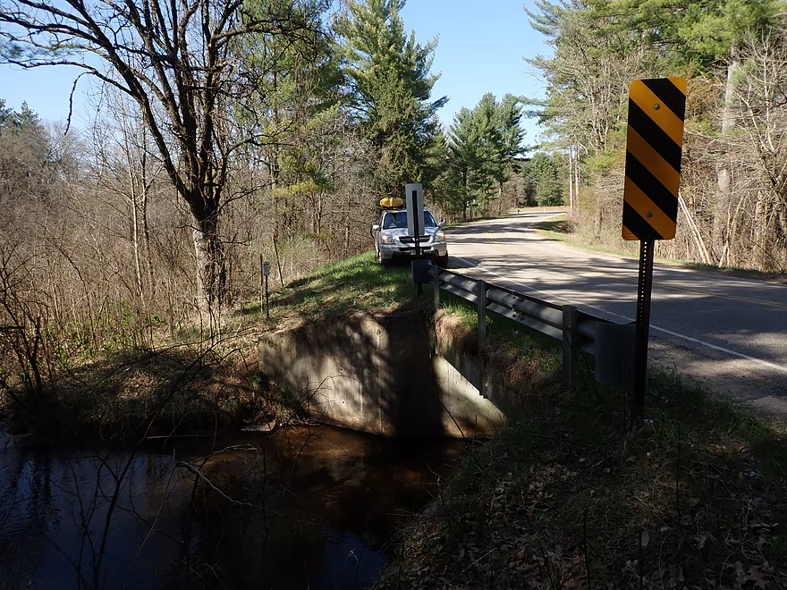
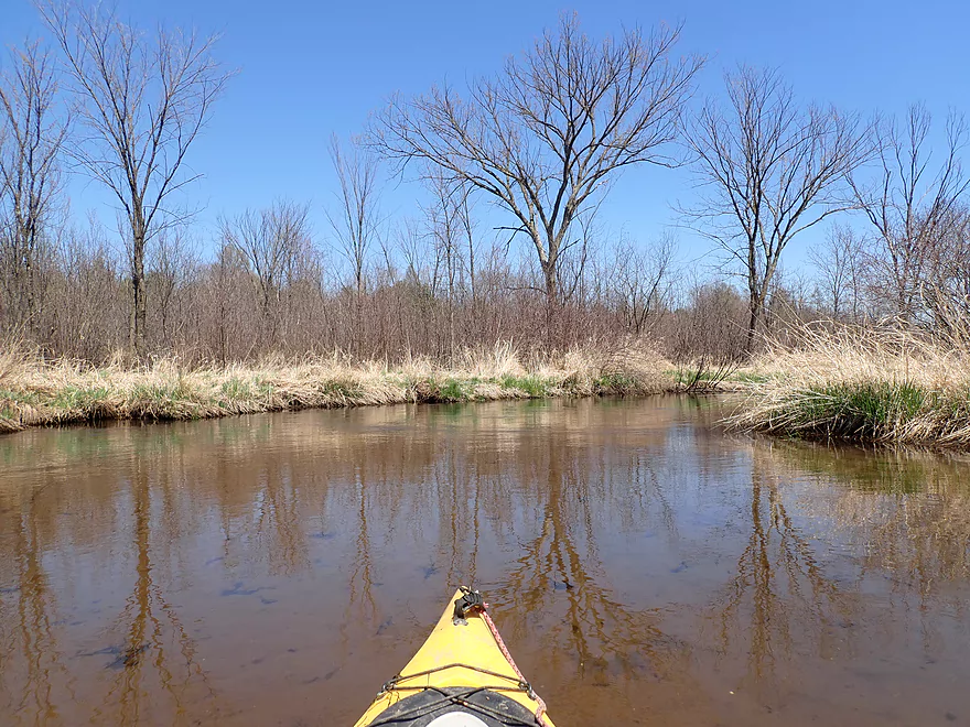
Starting the trip at Hwy S
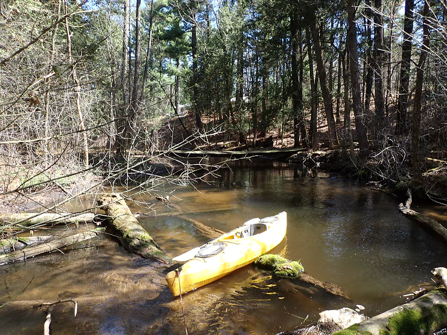
Good launch area below the bridge
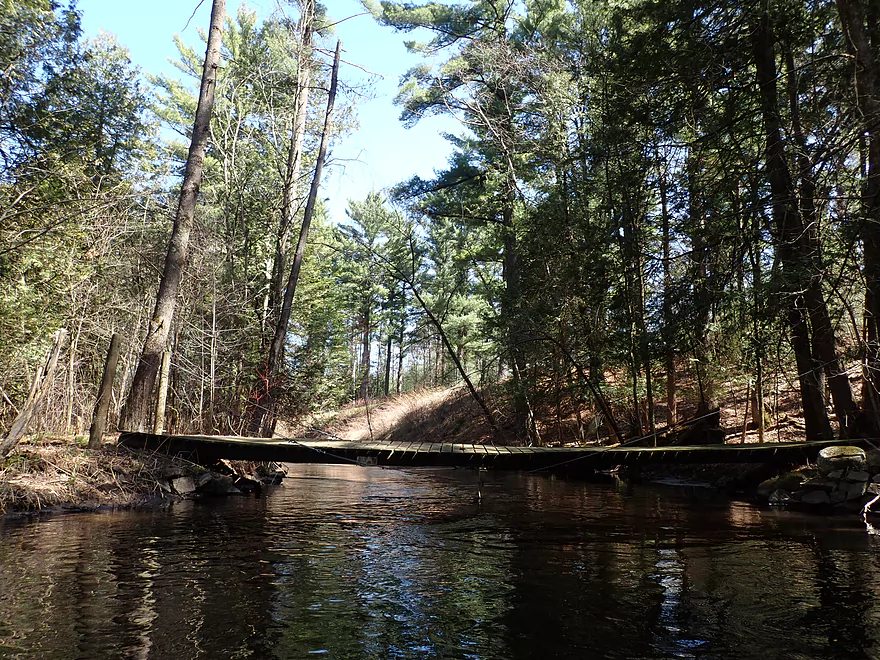
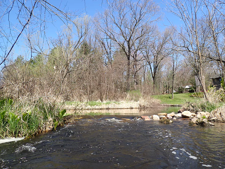
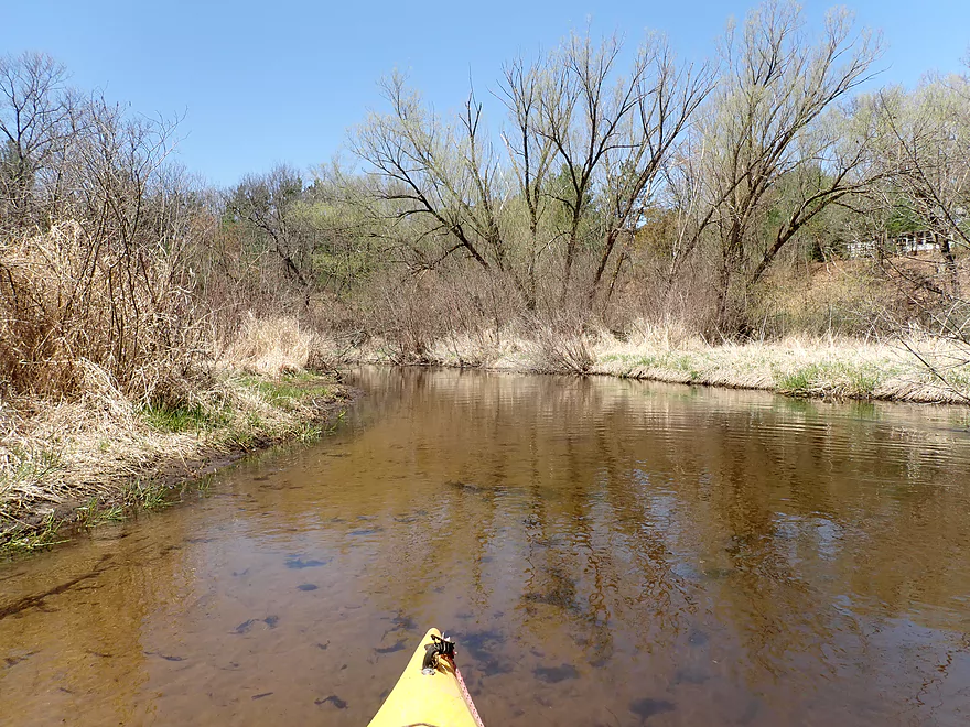
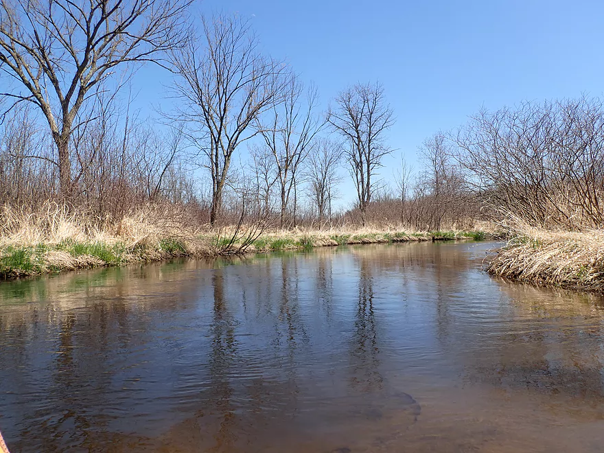
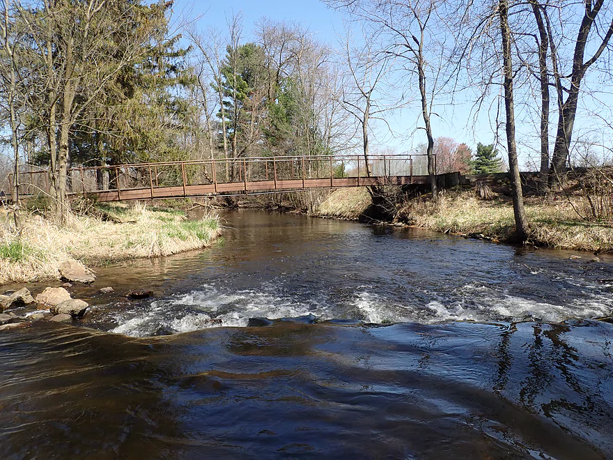
View from the bridge
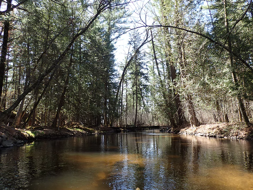
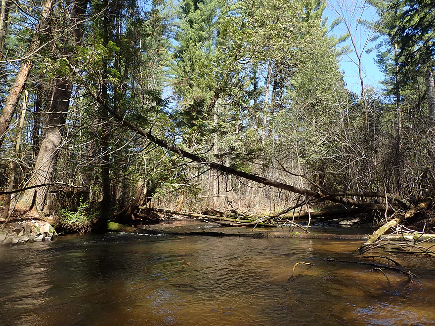
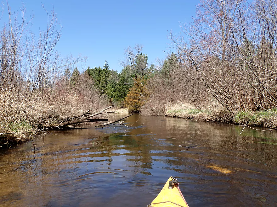
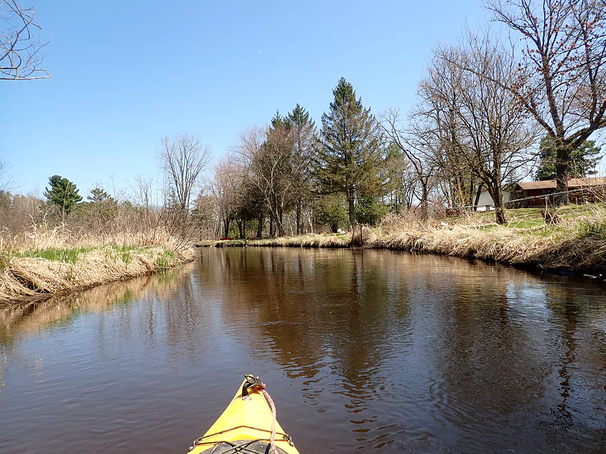
Nice stretch of White Pines
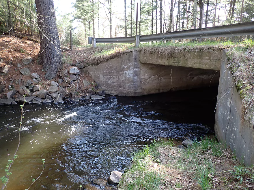
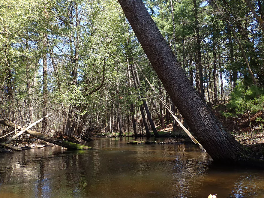
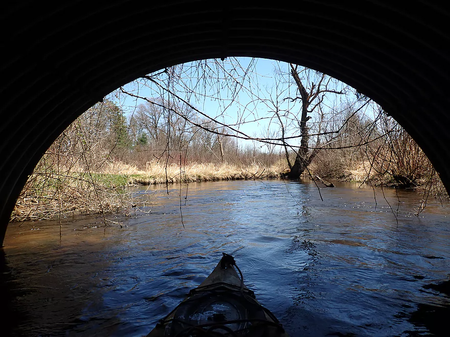
Super low bridge
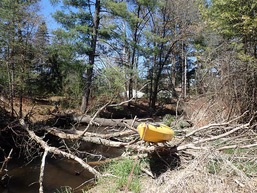
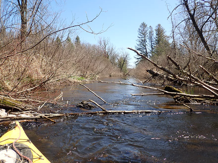
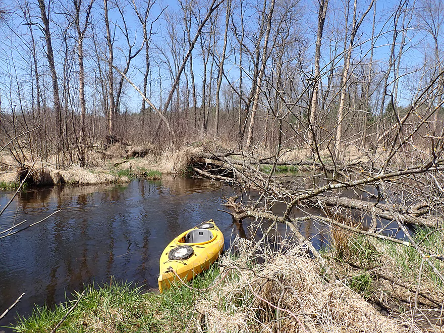
Quickly followed by a logjam
And another (all three can be portaged together)
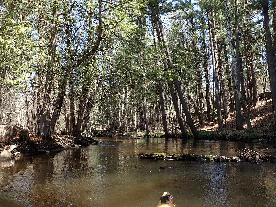
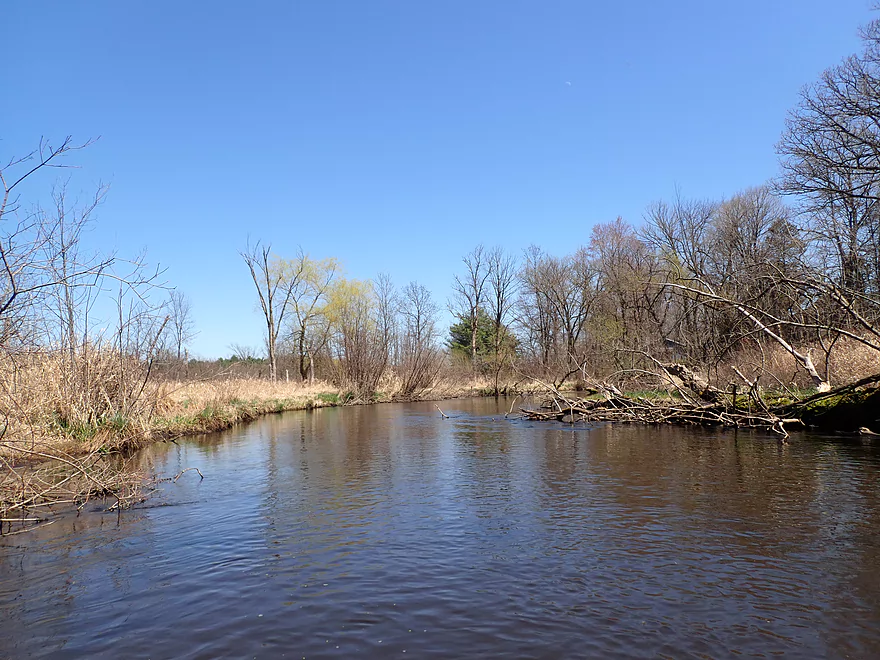
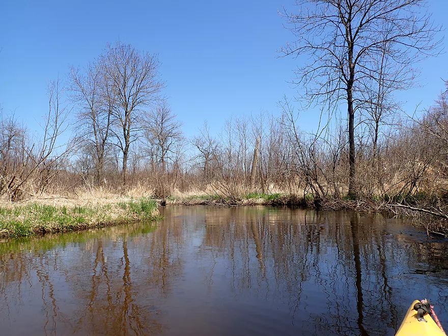
Looking back at the white pines and white cedars
Another major logjam
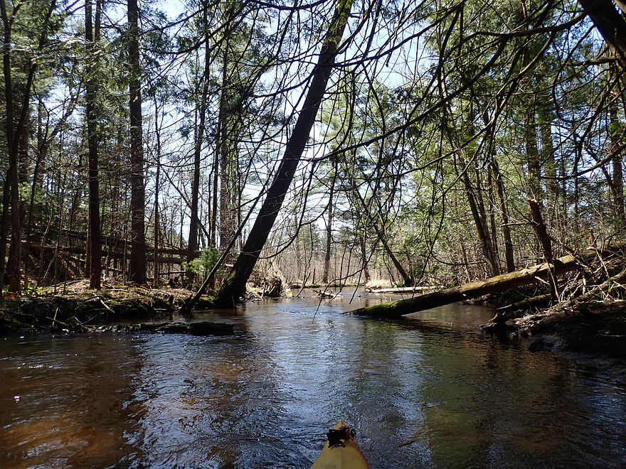
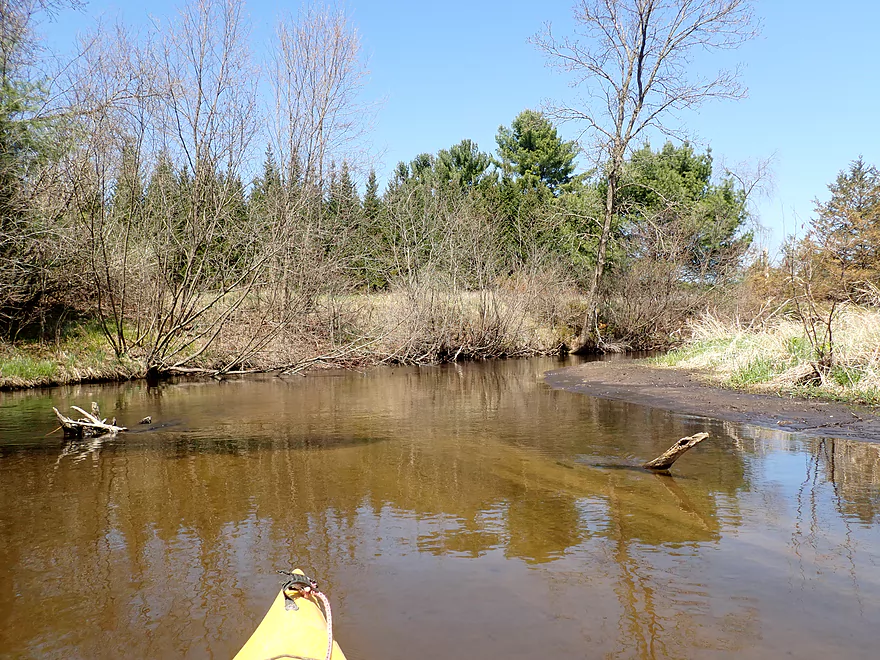
Good clarity
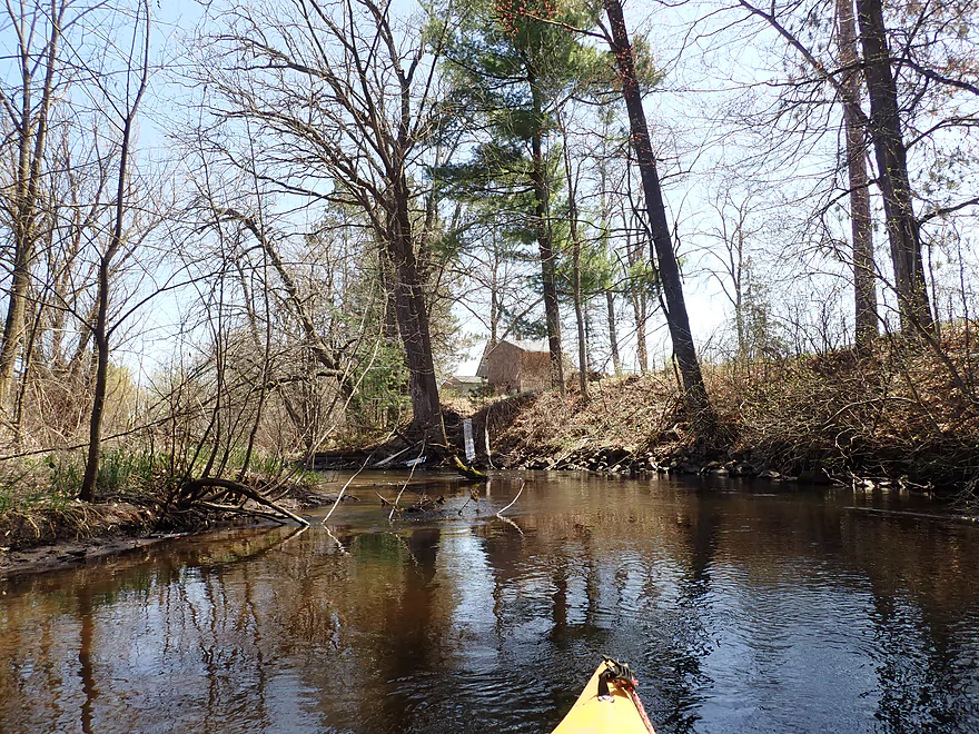
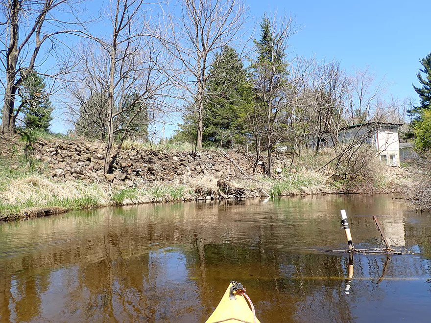
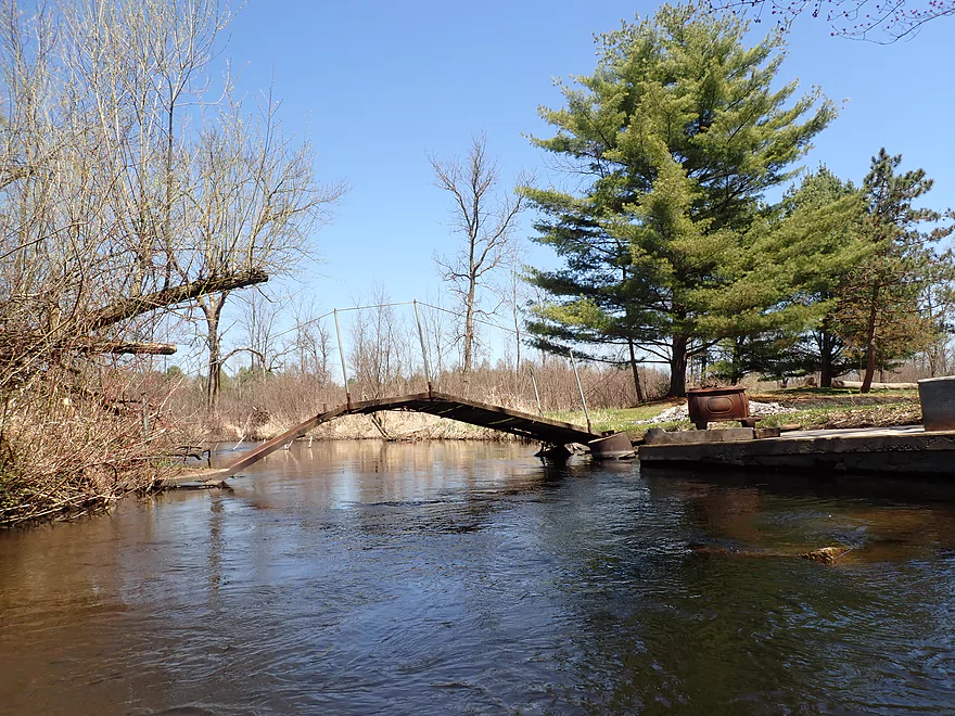
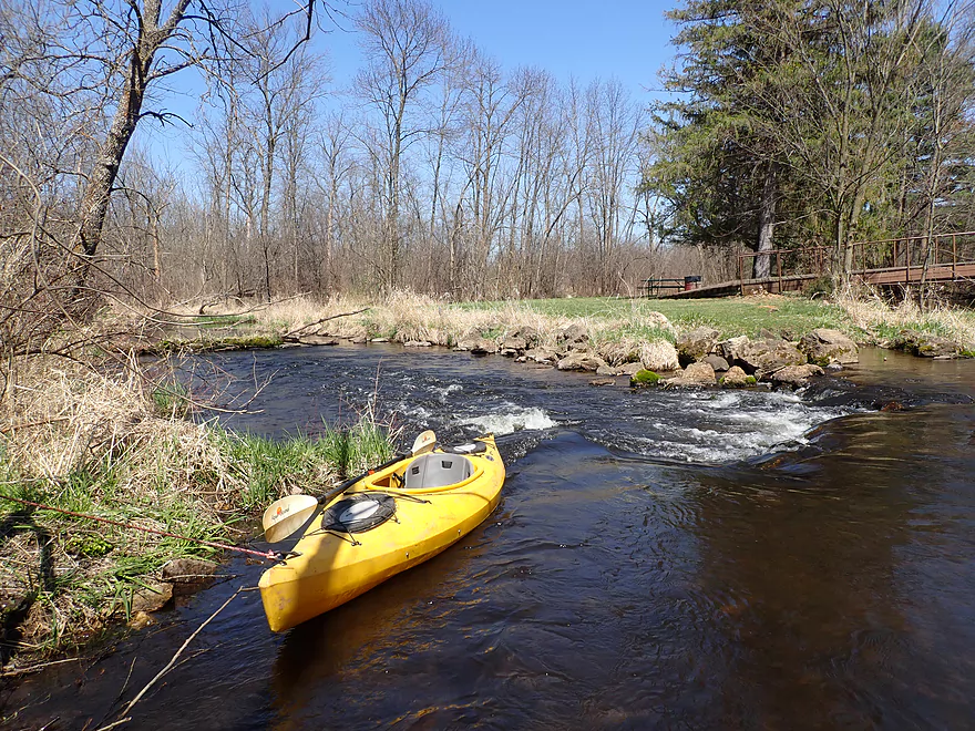
A man-made ledge
Another logjam
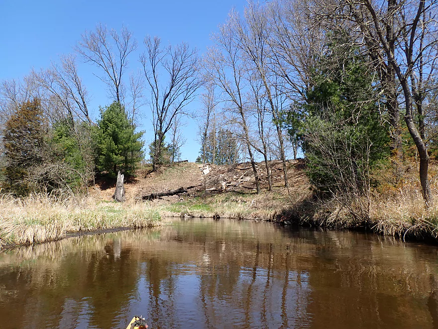
Mostly flat terrain, but there were a few hills
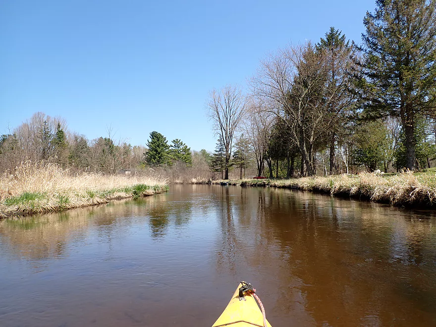
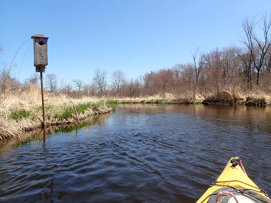
Saw a handful of houses on the trip
Happersett Lane
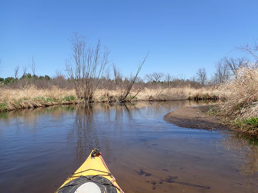
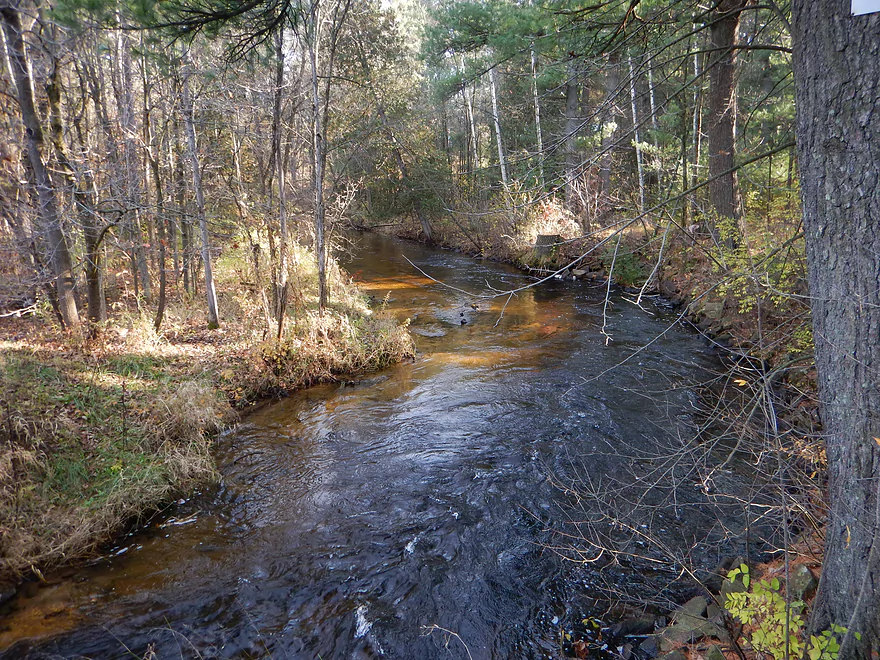
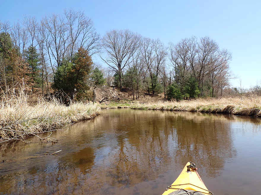
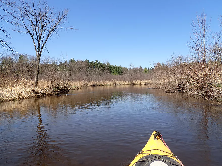
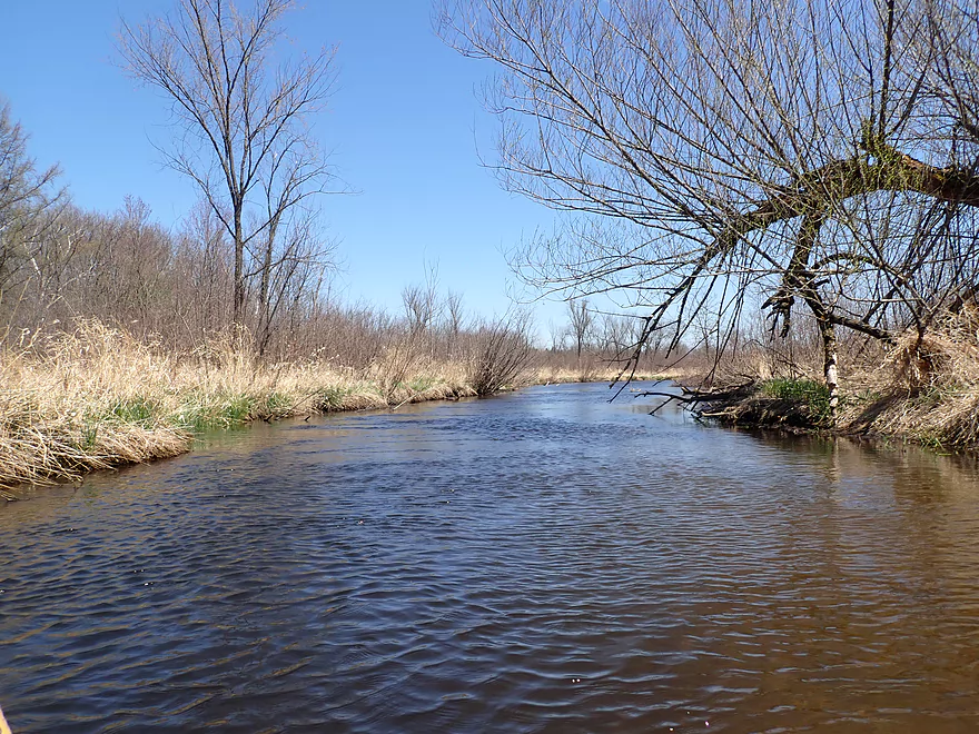
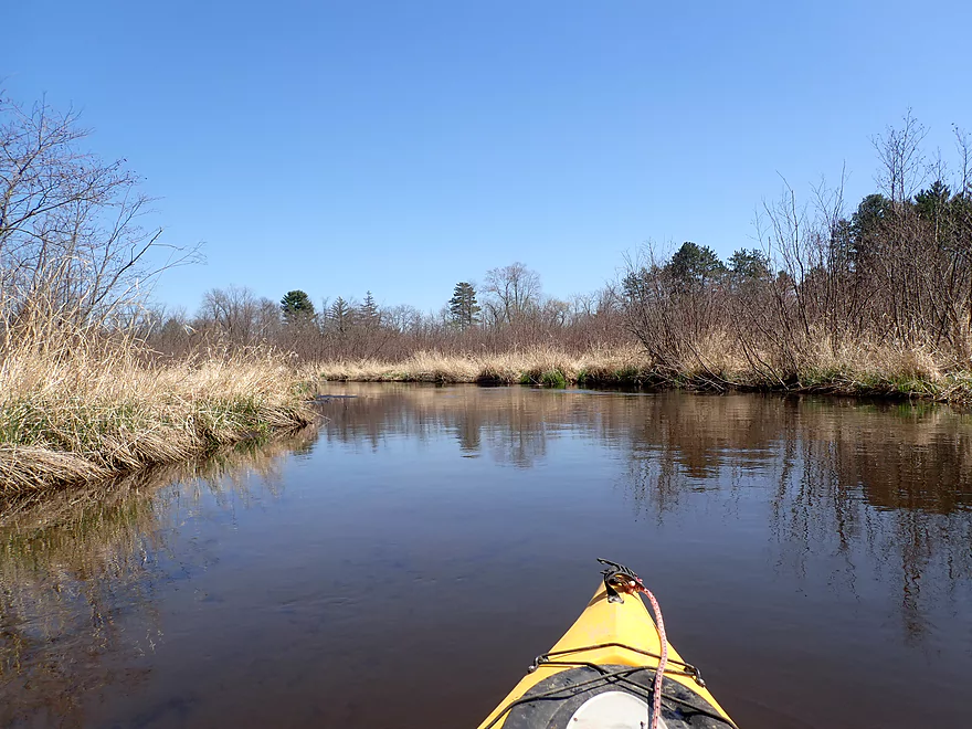
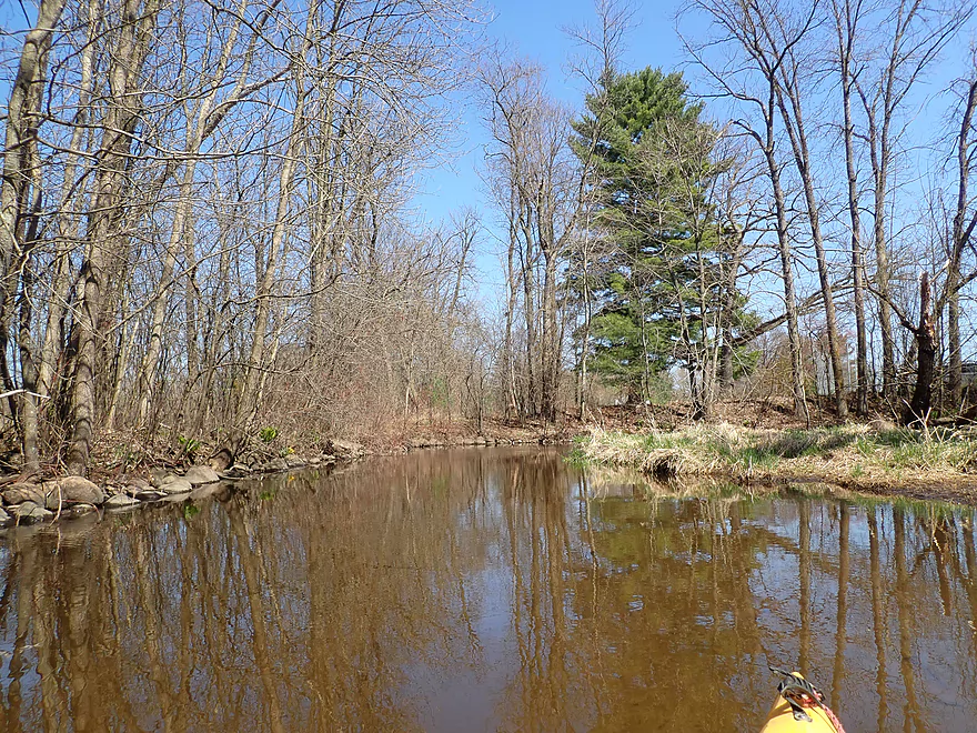
This was a scenic stretch of the creek
Kind of a rickety walk bridge, but at least easy to get under
Last major logjam…easy portage though
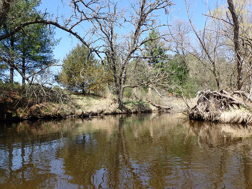
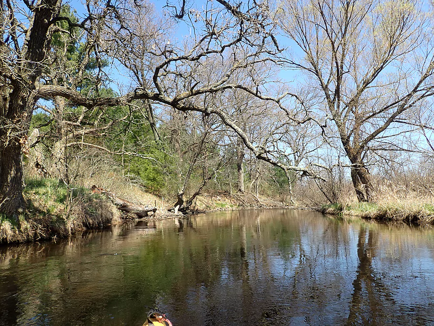
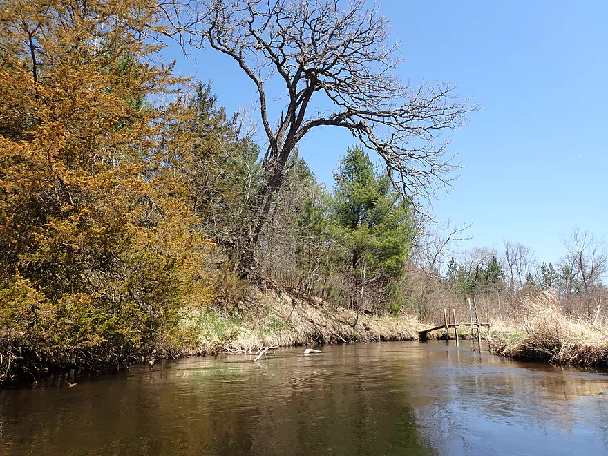
Cool oak

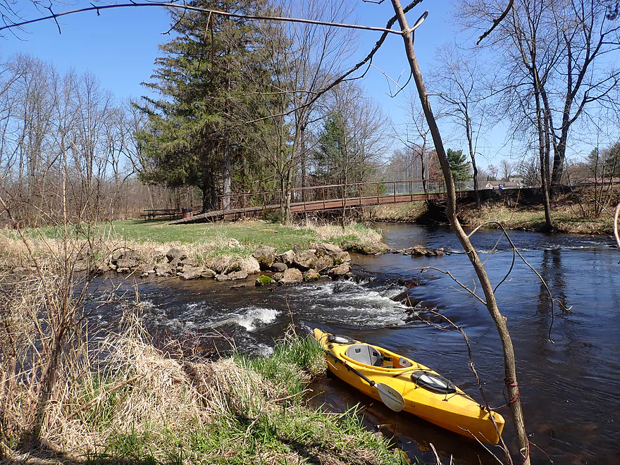
Coming up on Willow Creek Park
Left channel has some rapids
And is scenic
Right channel also has rapids
Ending the trip at the park
Willow Creek – Hwy S

Willow Creek is a tributary to Lake Poygan located in Central Wisconsin. I previously paddled an upstream leg in 2016, which I dubbed a “poor man’s Mecan River”. Recent satellite images suggested another leg near Redgranite had opened up and I decided to check it out.
I started the trip at Hwy S, which was a really scenic area. White pines towered over the creek and light rapids tumbled under the bridge. This is a popular spot for trout fishermen, and one of them warned me that there was a very low bridge located just downstream around the bend. In fact he suggested I launch from the nearby Bruce Creek bridge instead to bypass these obstacles, but I decided to stick with my plan.
The first thousand feet was both the best and worst parts of the trip. Here fantastic white pines hemmed in the creek giving it a Robinson Creek type vibe. But soon I encountered that low bridge I was warned about. And just after the bridge was a cluster of logjams that weren’t fun.
Following the pines, there was one more large logjam, then the creek really opened up and it was mostly smooth sailing for the rest of the day.
The scenery on this trip was very similar but inferior to the White and Mecan Rivers located nearby. Features included clear water, few rocks, and open but brushy banks with some alders but not much mud. Road noise from nearby busy Hwy 21 was an issue.
There were a few more minor logjams. In several spots the river forks to create small islands. Choose your channel carefully as often only one side is open.
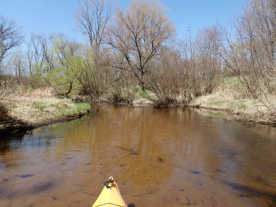
Past Happersett Lane, the creek opened up and became more marsh-like. That was a nicer part of the creek.
I ended the trip at Willow Creek Park which was busy that day. One of the locals offered to take a video of me running the last set of rapids (4:29) which I appreciated. At the park the river forks around an island with light rapids on both branches. The right rapids are a bit bumpy, but the left ones are fun (although there is a logjam just after this). You could easily just take out prior to both rapids or disembark on the island itself where a walk bridge connects to the main park. The area by the park was really nice.
In conclusion this was a nice but mediocre trip. For most paddlers I can’t recommend it over the nearby Mecan or White Rivers. But for locals willing to put up with a few logjams, you can have a good time. I think if the remaining jams were ever cleared out, this could be a popular creek with local paddlers.
There were a lot of turkeys near the put-in, some cranes, and a few fish. But as was typical with most trout streams I paddle, I saw more fishermen than fish. The lowlight was all the baby leeches I encountered at my first portage. I took a wrong step and sunk to me knee in mud. When I pulled my foot out, it had a number of baby leeches that had to be picked off.
Hwy S: This is a scenic and good bridge access. Don’t park south of the bridge (signs say you can’t park there), but instead park on the north side where there is a decent shoulder you can use. This is part of a public fishing easement. Note, the Bruce Creek bridge and Willow Creek bridge are very close to each other so make sure you launch from the right one.
Alternate Put-ins:
- Bruce Creek Bridge (Located just next to Willow Creek bridge): You can actually launch from Bruce Creek as it soon joins Willow Creek. This bypasses some logjams and a low bridge, but also misses a scenic stretch with white pines.
- Chicago Ave (2.1 miles upstream from my put-in): I haven’t done this leg, but it seems interesting with more pine trees. Figure maybe 2 major logjams.
Redgranite’s Willow Creek Park: This is a good public access with parking and outhouses. The creek splits around an island with both channels having light rapids. You can take out before the island if you wish or after.
Alternate Take-outs:
- Pine River Street (0.3 miles downstream from my take-out): Paddlers could simply skip the park and disembark at the next bridge (Pine River Street). This short add-on stretch is scenic, but might have 1 or 2 logjams.
Bike Shuttle – Willow Creek Park to Hwy S: 2.7 miles with 20′ of ascent. This was a pretty easy bike shuttle. The only downside is that Hwy 21 is a busy/fast road, but there is enough shoulder room for bikers.
Logjams: There were four major logjams. Locations and details on these can be found on the trip map. Beyond that there were also some minor logjams that required some tight maneuvers to get past. The first logjam cluster is located near the put-in by the white pines. You could in theory bypass this (and the low bridge) by launching from Bruce Creek.
Current: The current was pretty consistent, but never too fast.
Rapids: There were no major rapids. There were two Class 1’s at the start of the trip and one Class 1 at the end. All very easy.
Low Bridges: There is a low bridge located just after the put-in that needs to be portaged. This is located near a collection of logjams, so you could in theory portage them together.
Trip Depth: 42 CFS per the gauge at Tomorrow River @ Nelsonville
- 0-20 CFS: Very low depth.
- 21-35 CFS: Low depth, but good clarity. Some additional portages may be required to get last downed trees.
- 36-45 CFS: Average depth and a good target.
- 46-55 CFS: High depth with likely poor clarity.
- 56+ CFS: Very high depth.
- Upstream of Cty Road W/Nordic Mountain: The creek is still largely navigable in its far upstream reaches, but I suspect logjams might be a problem. I could be wrong.
- Cty Road W to Blackhawk Road: 3.8 miles. An intriguing prospect, but maybe 4 major logjams and one alder gauntlet.
- Blackhawk Road to Brown Deer Ave: 1.7 miles. Maybe 4 major logjams. Access by Blackhawk Road is intimidating because of a nearby house and No Trespassing signs.
- Brown Deer Ave to Chicago Ave: 4.1 miles.
- Brown Deer Ave to Cty Road S: 3.2 miles. A pleasant section with very clear water but nothing super special. There are three easy logjams to portage.
- Cty Road S to Chicago Ave: 0.9 miles. A pleasant section with no logjams.
- Chicago Ave to Cty Road S: 2.1 miles. An interesting prospect with a number of pine trees. Maybe two logjams.
- Cty Road S to Redgranite’s Willow Creek Park: 4.1 miles. A nice leg with clear water and some scenic pine trees. Mostly open, but there are four major logjams and several minor logjams that require tight maneuvers.
- Redgranite’s Willow Creek Park to Pine River Street: 0.3 miles. Short but scenic stretch. Maybe 1-2 logjams.
- Pine River Street to 28th Road: 3.8 miles. Maybe 7-8 major logjams. Otherwise looks nice.
- 28th Road to 29th Lane: 2.5 miles. Congested woods in the first half (maybe 4 logjams) and a more broad, open channel in the second half.
- 29th Lane to Hwy 49/Dam: 2.0 miles. Mostly open flowage.
- Hwy 49 to Hwy D: 9.6 miles. Starts really nice with attractive clear water and good current. The later parts of the trip slow down and flow through a vast wetgrass marsh that is not as interesting.
- Cty Road D to the 35th Lane Access: 1.5 miles. A slow, wide channel…not a great prospect.
- Cty Road D to Lake Poygan: 2.1 miles. Likely not interesting, although it would be novel to paddle to the mouth and see Lake Poygan.
- Lake Poygan Mouth to Pumkinseed Creek/Cty Road D: 2.0 miles. The mouth of Willow Creek and Pumpkinseed Creek are next to each other, so you could paddle up slow Pumpkinseed Creek and get out at Cty Road D. This is viable, but likely not super interesting.
Special thanks to Adam Kiernicki for providing information on Willow Creek.
Trip Map
Overview Map
Video
Photos Size: