
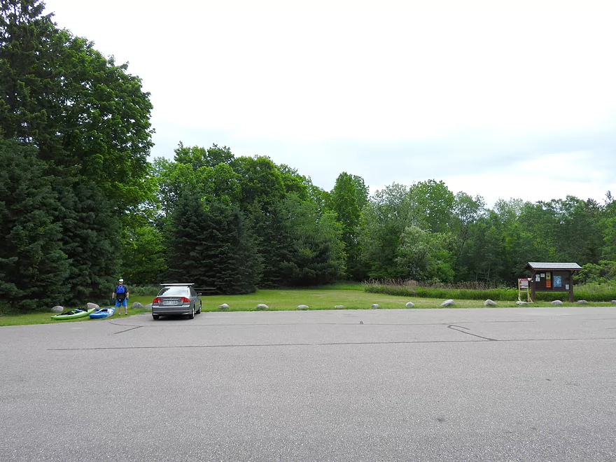
Parking lot at put-in
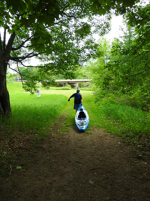
Path to the river
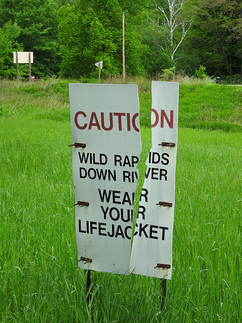
Warning sign
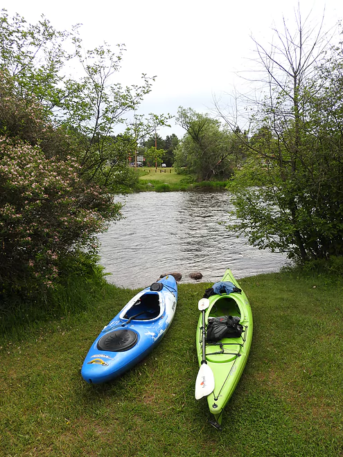
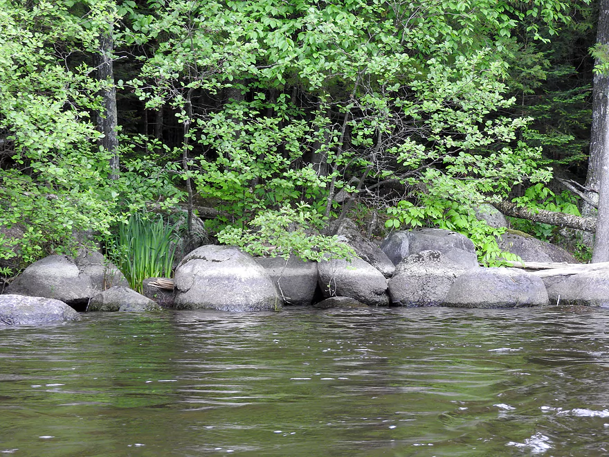
River bank at put-in
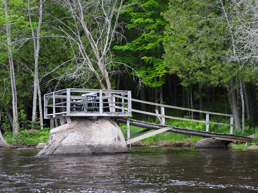
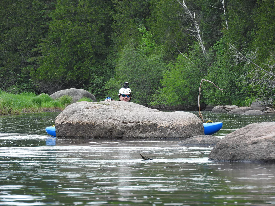
Private pier on a boulder
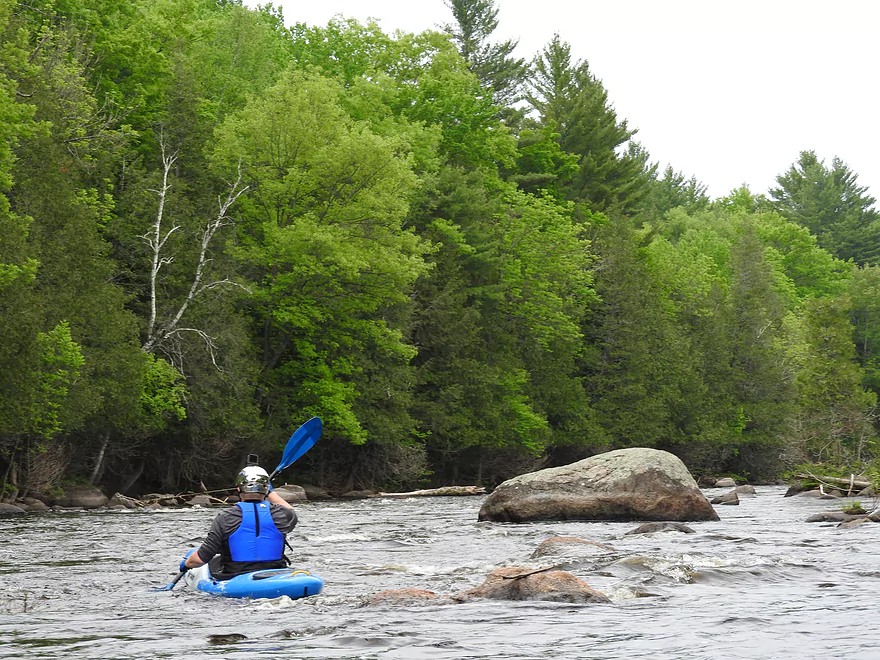
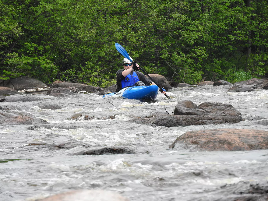
Negotiating a boulder garden
Negotiating a boulder garden
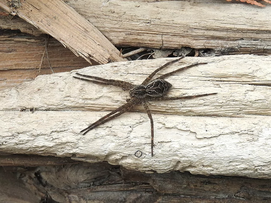
Fishing spider
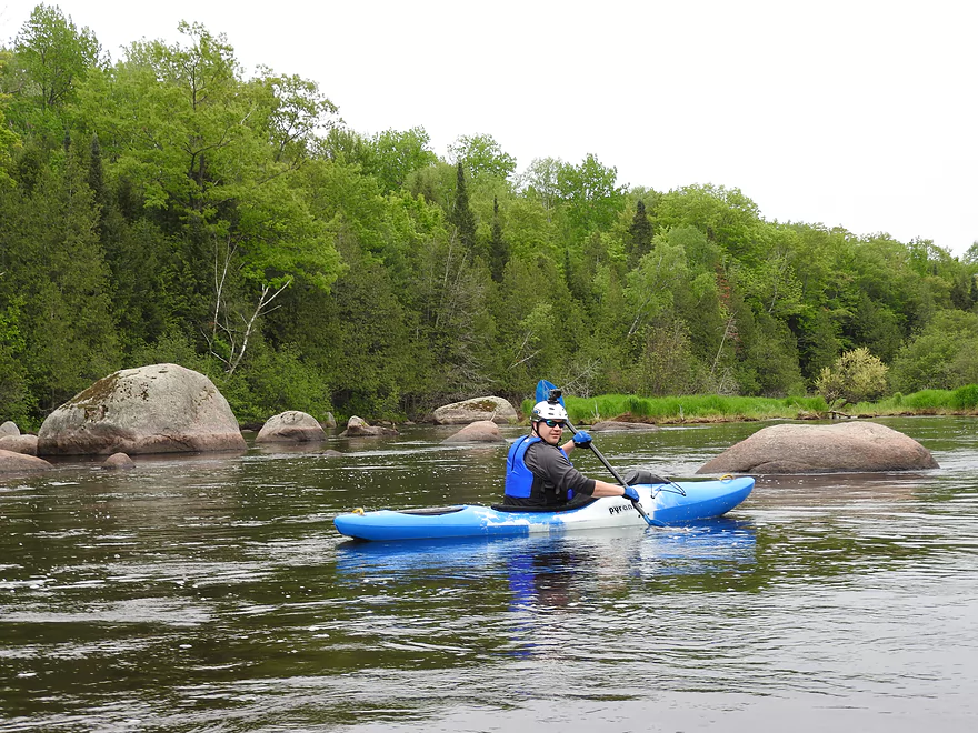
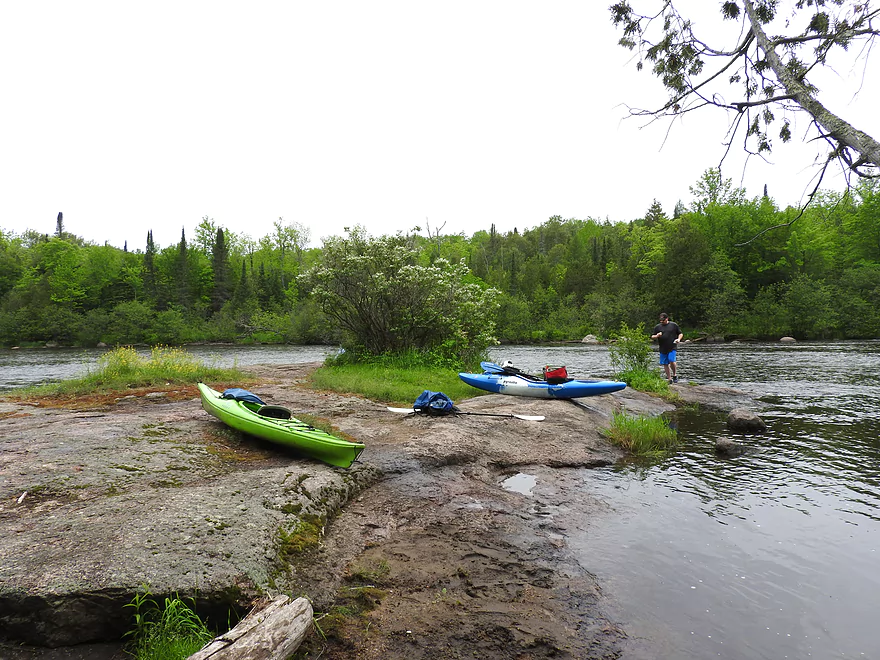
Taking a break
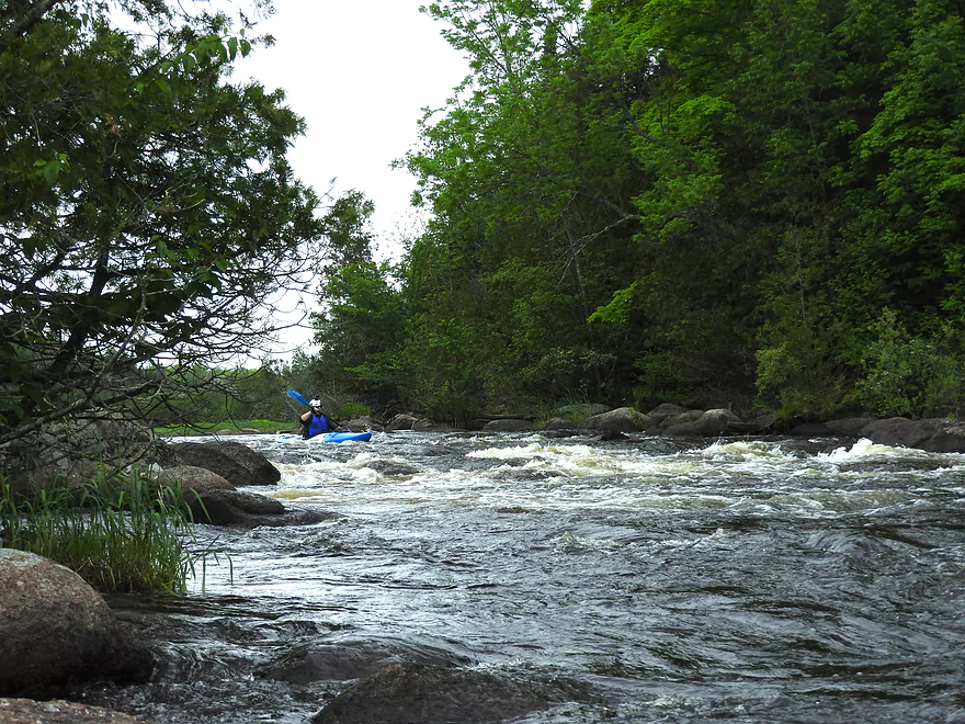
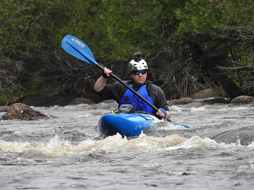
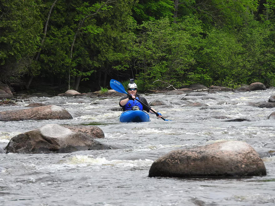
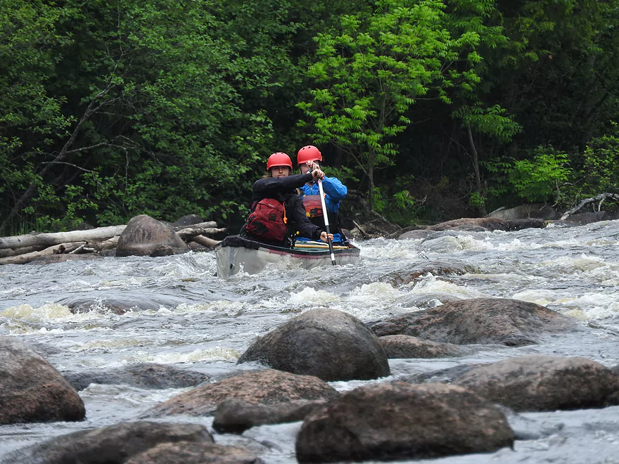
About to run the rapids
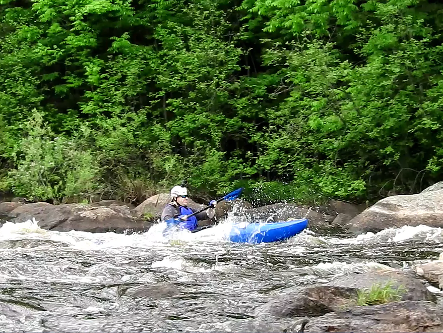
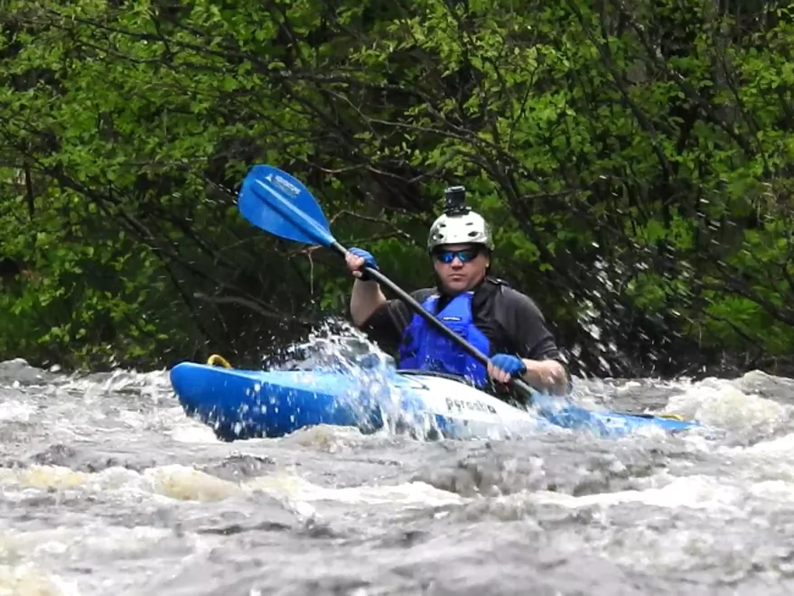
Running the rapids
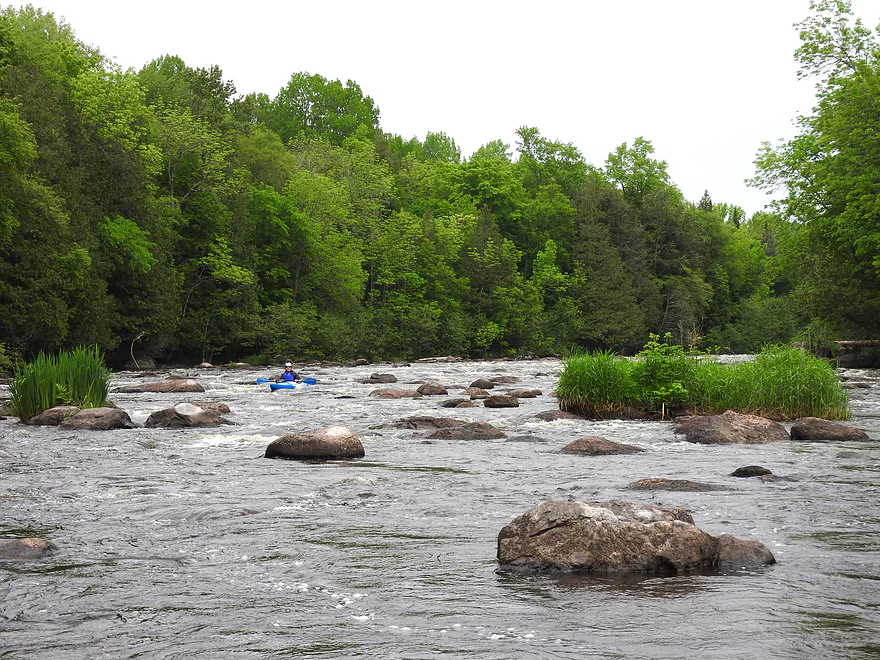
A view of the rapids
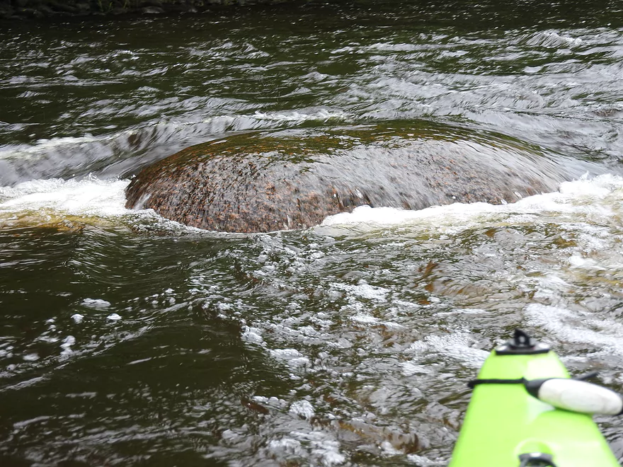
Slightly submerged boulder easy to get hung up on
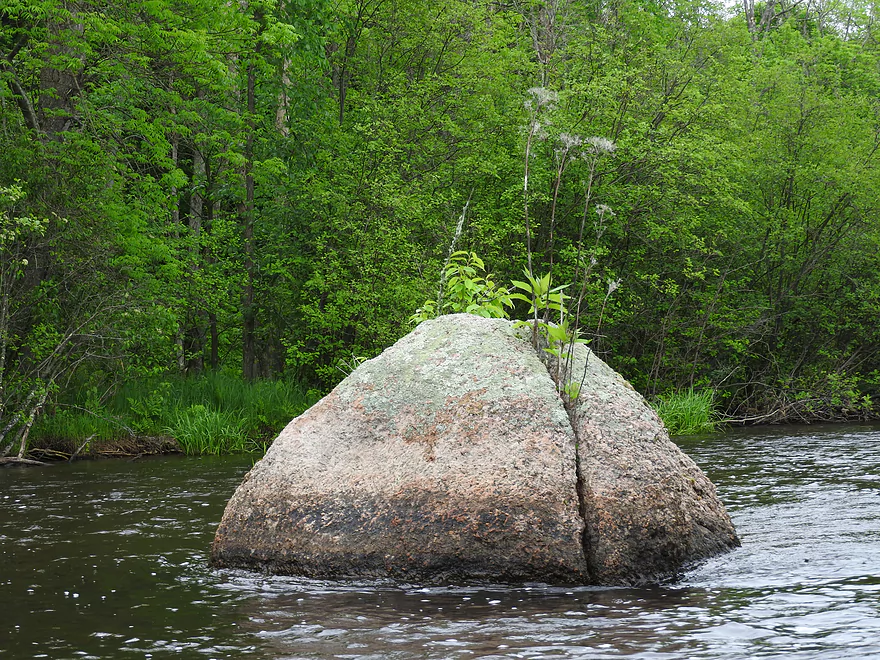
Split boulder
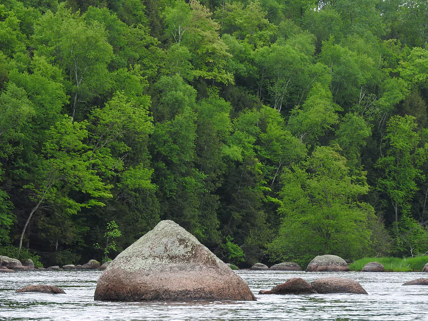
Boulder garden
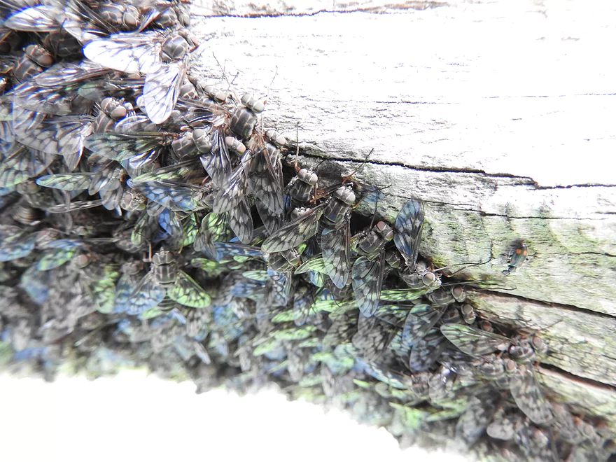
Newly emerged deer flies
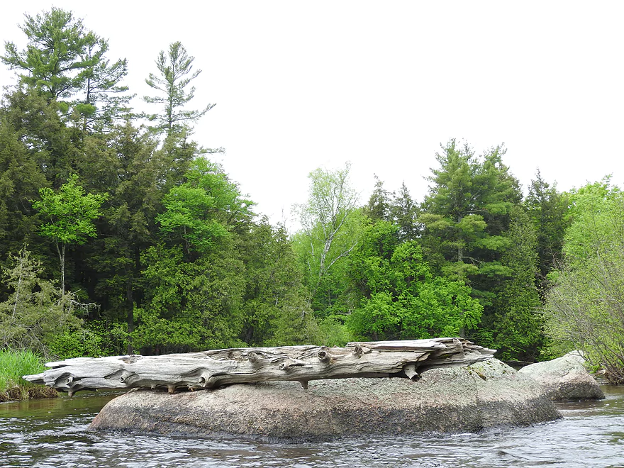
Log on a rock
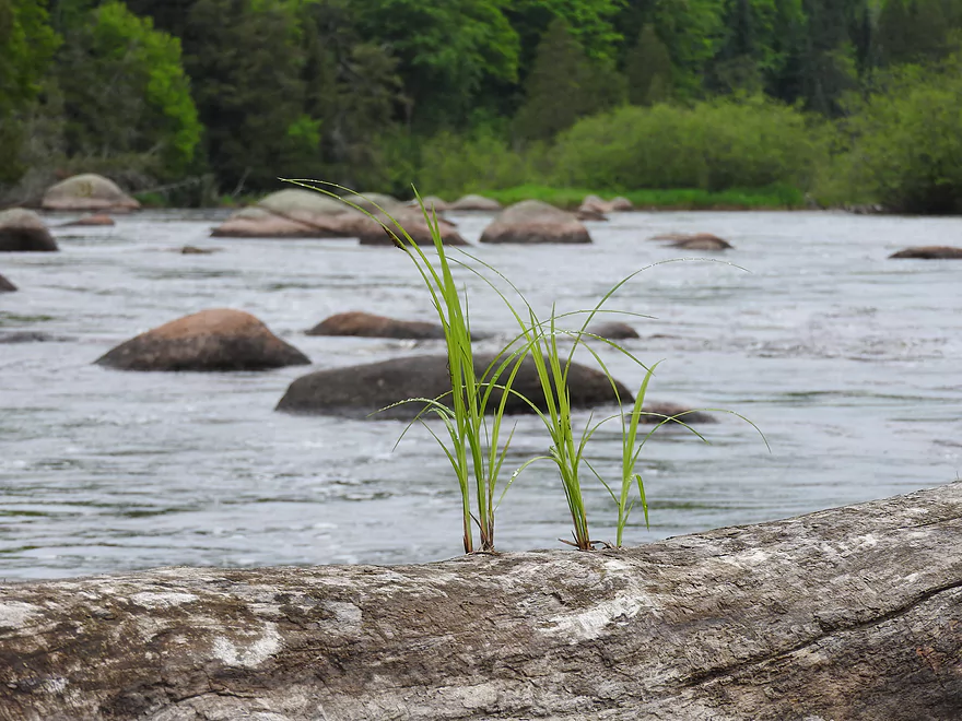
Grass growing on log
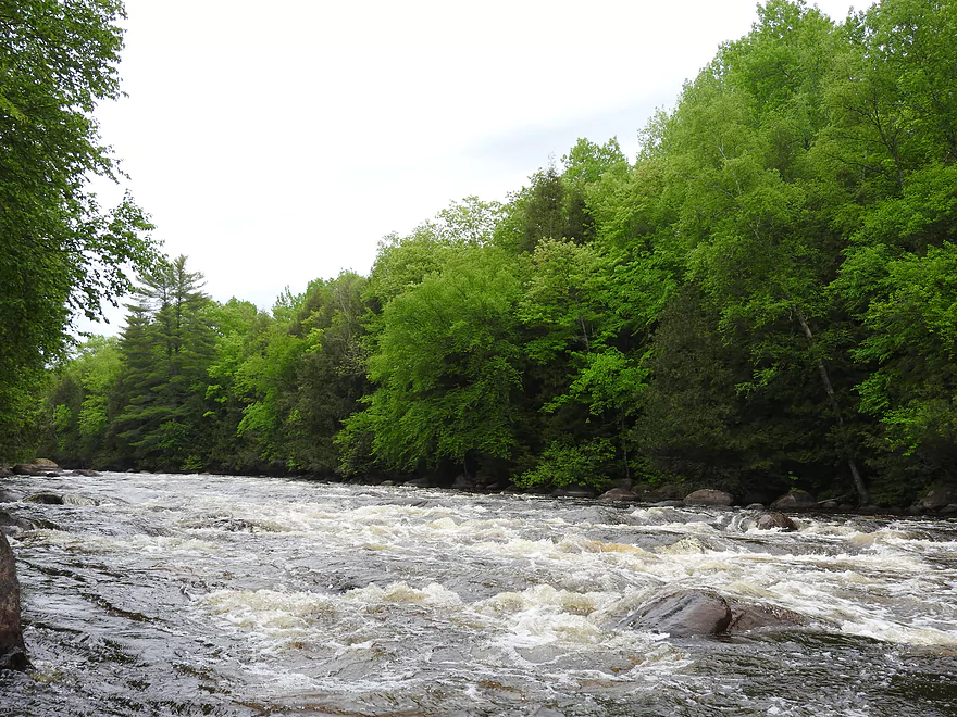
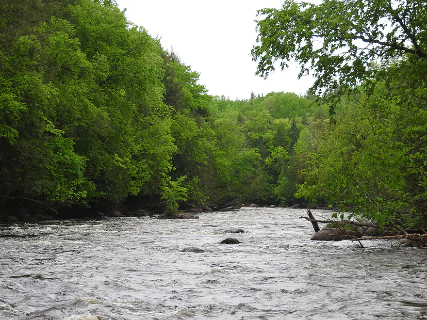
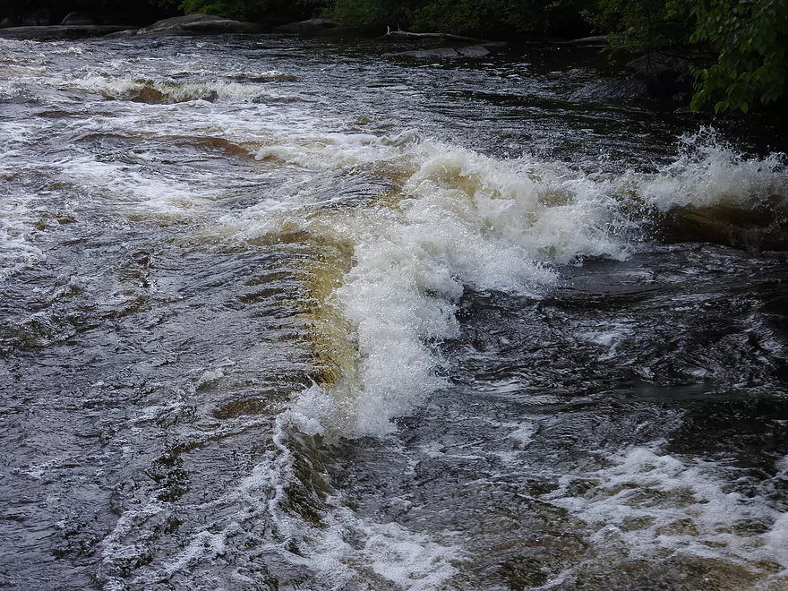
Rapids
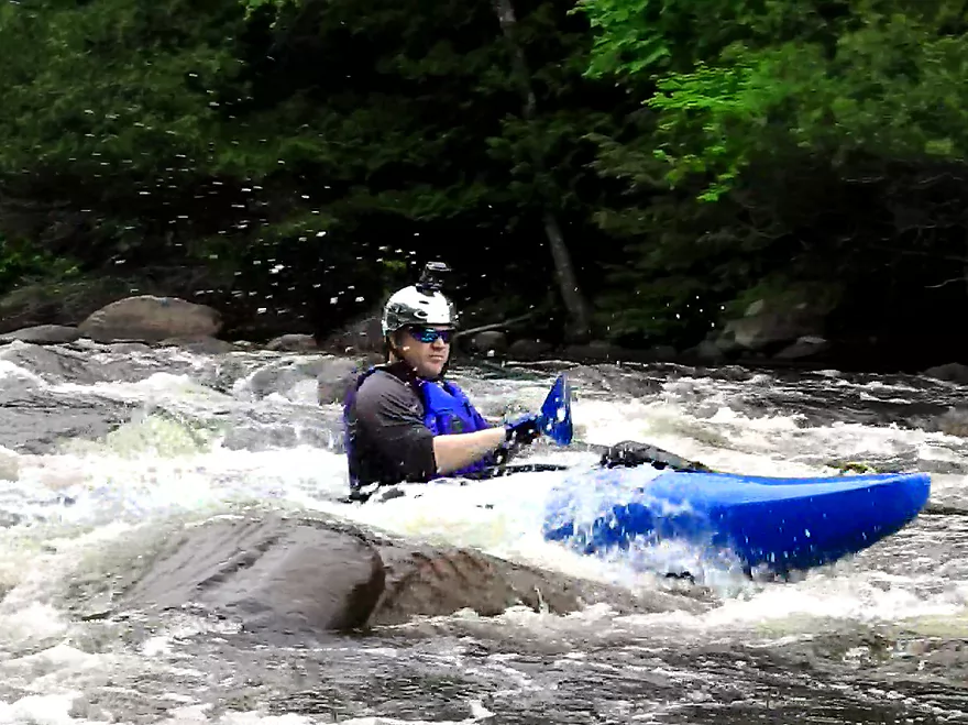
Running the rapids
High water mark
Running the rapids
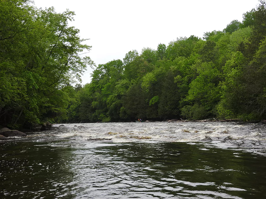
View of the rapids
View of the rapids
Running the rapids
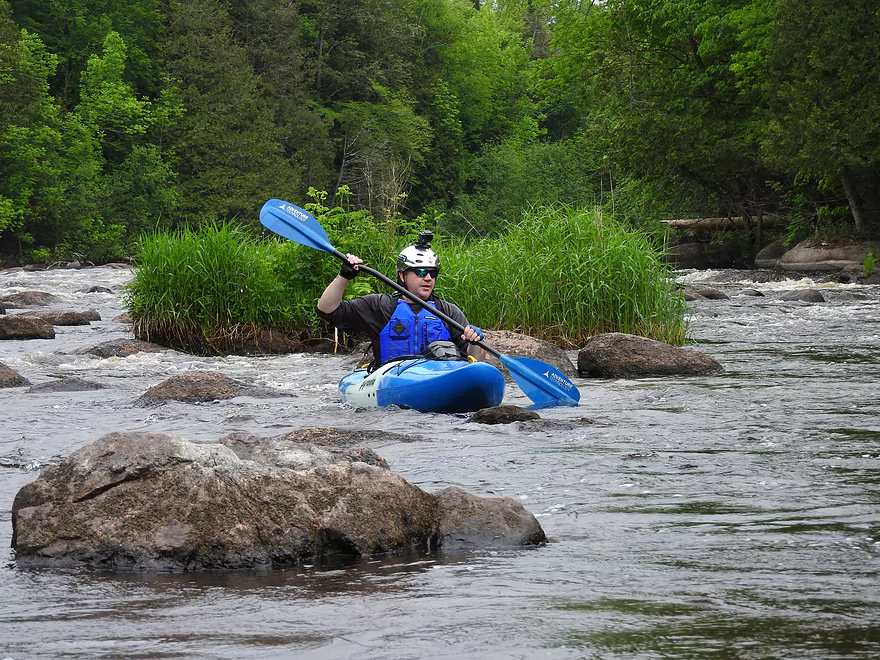
Negotiating a boulder garden
Negotiating a boulder garden
Negotiating a boulder garden
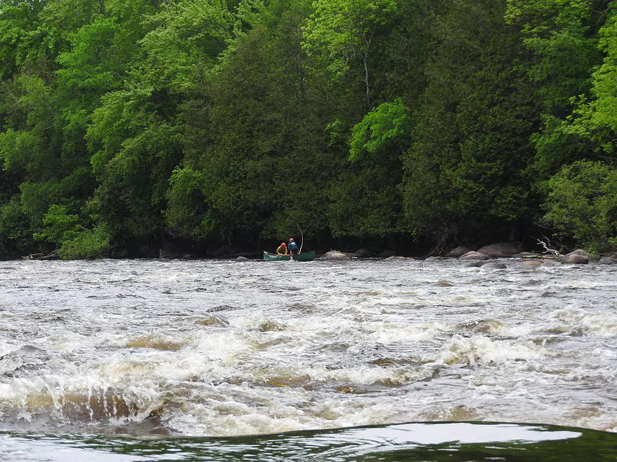
Canoers running the rapids
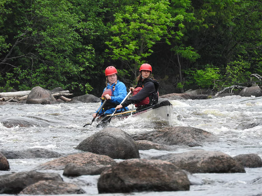
Canoers running the rapids
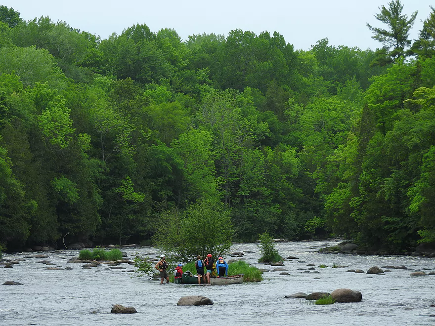
Canoers taking a break
Lunch break on lunch rock
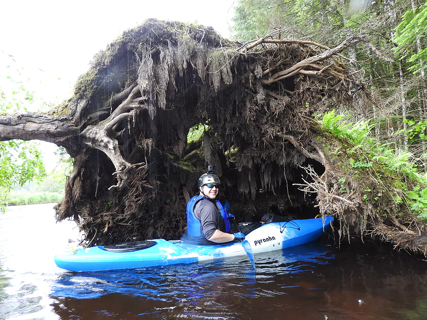
Tree roots
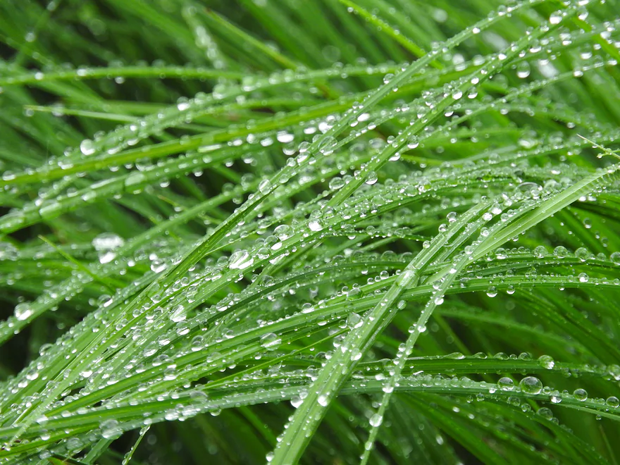
Rain drops on grass
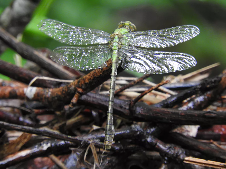
Wet dragonfly
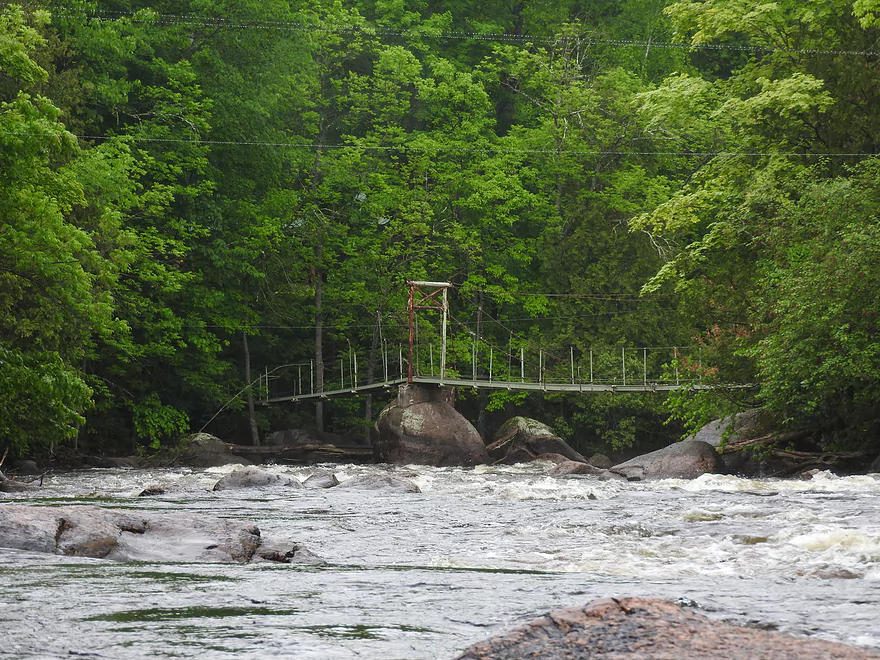
Suspension bridge at Boy Scout Rapids
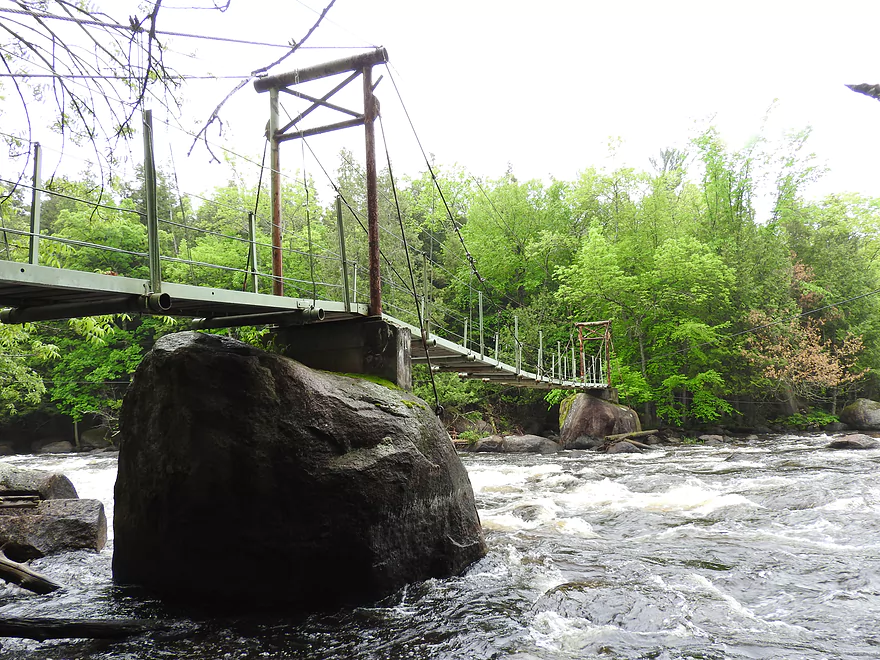
Suspension bridge at Boy Scout Rapids
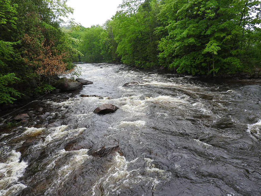
Boy Scout Rapids
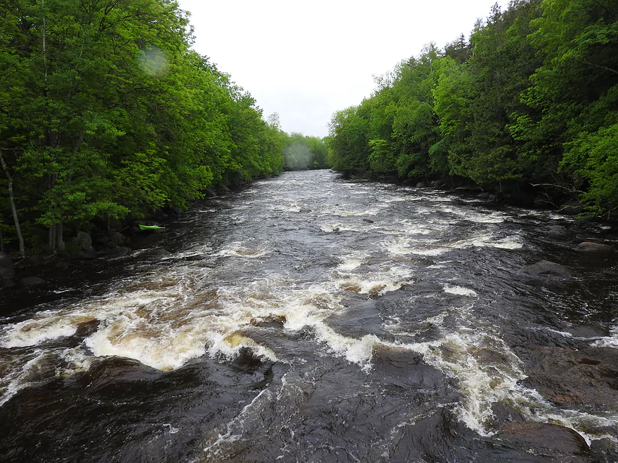
Boy Scout Rapids
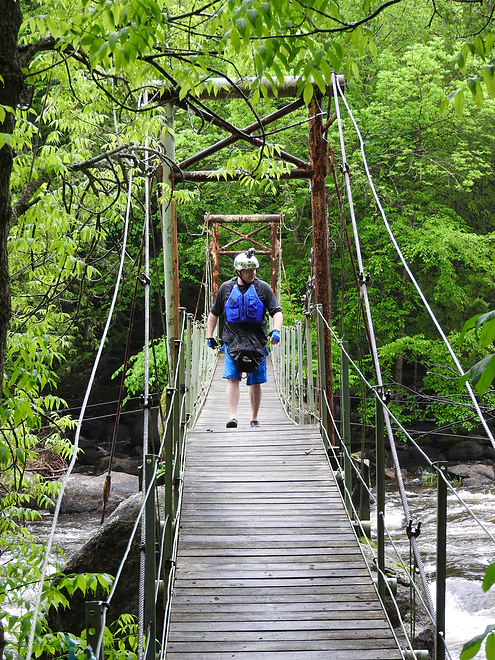
Scouting the Boy Scout Rapids from the bridge
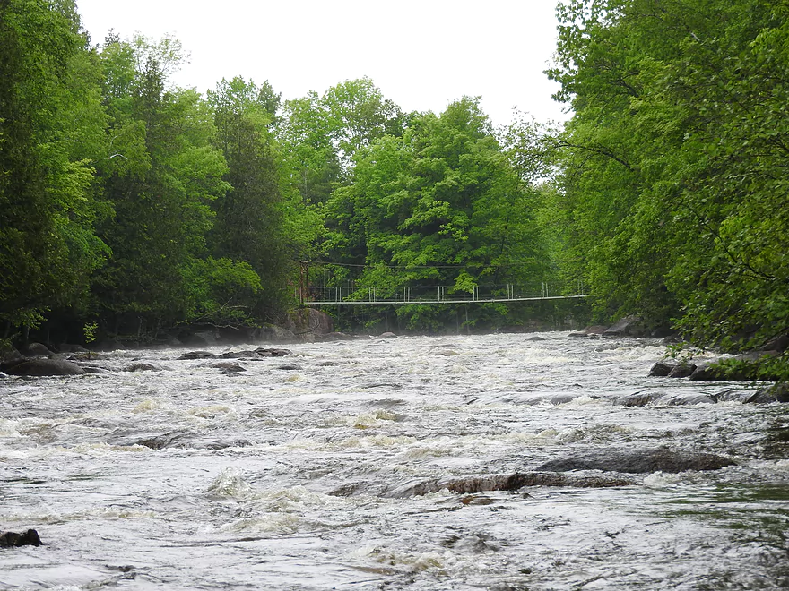
Boy Scout Rapids
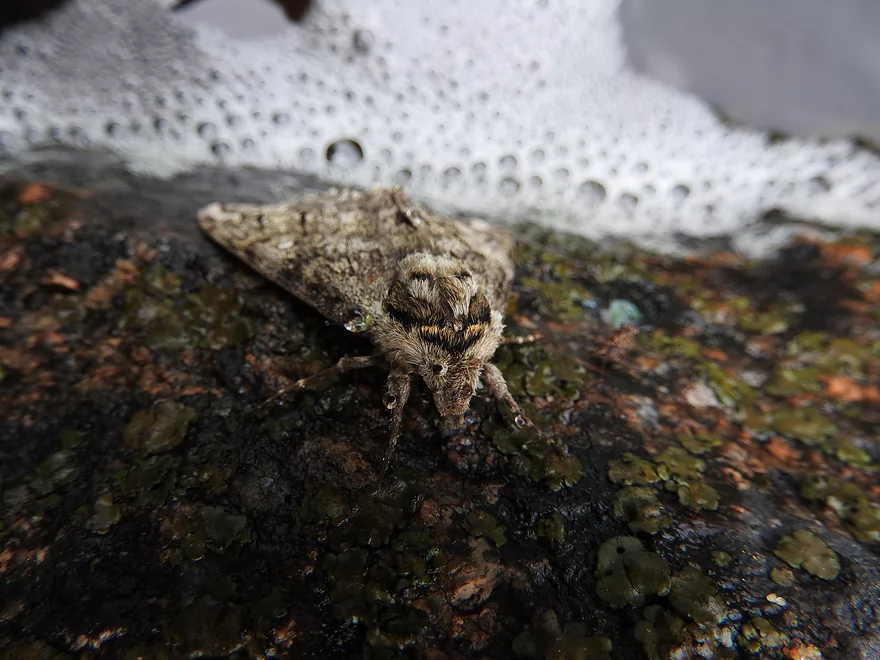
Moth
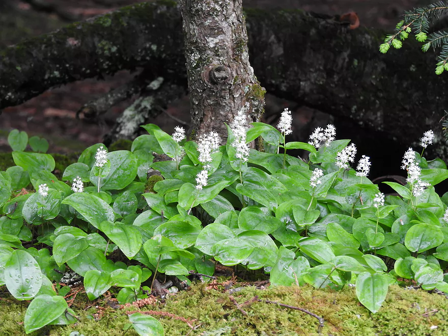
Cool plants
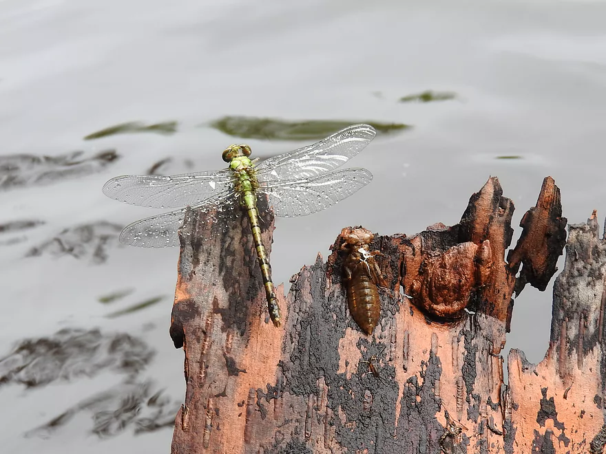
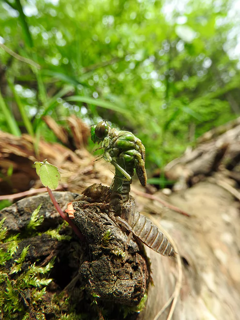
Newly emerged dragonfly and his exuvia
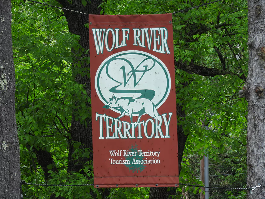
Wolf River Territory Tourism Association banner
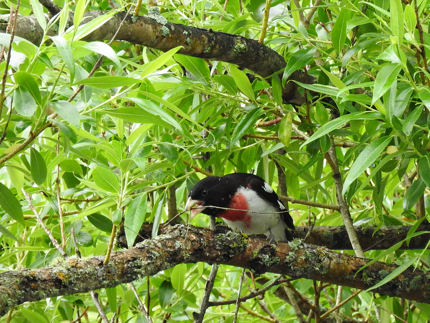
Rose breasted grosbeak
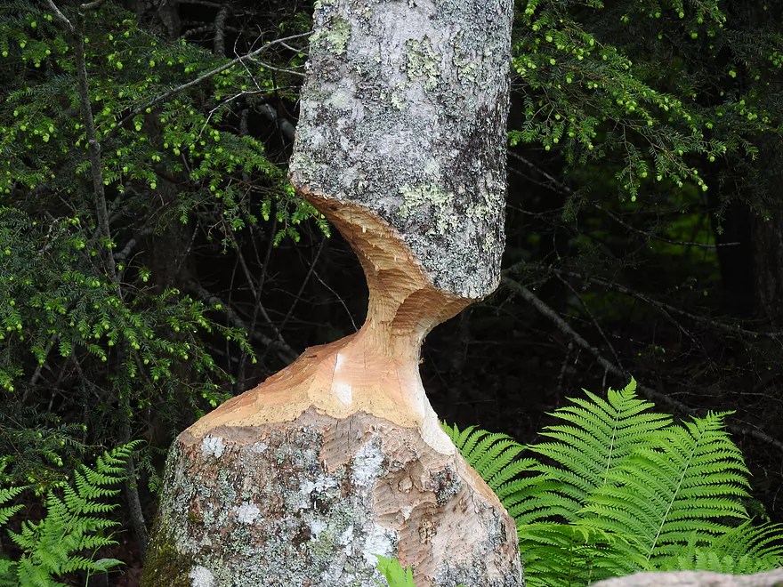
Beaver sign
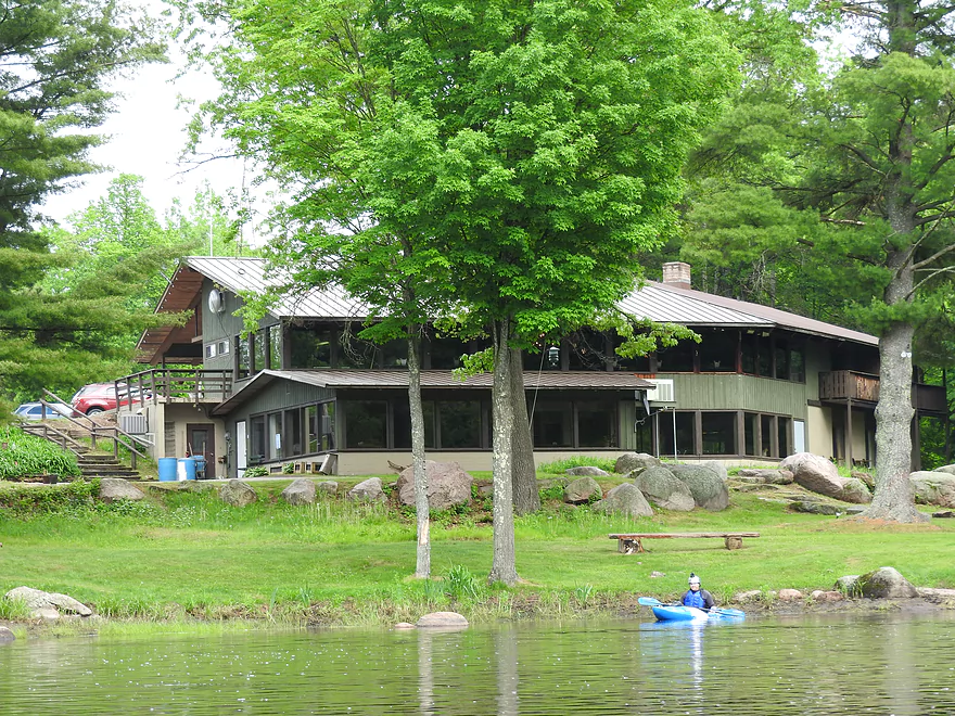
Crab and Jack’s Inn at the take-out
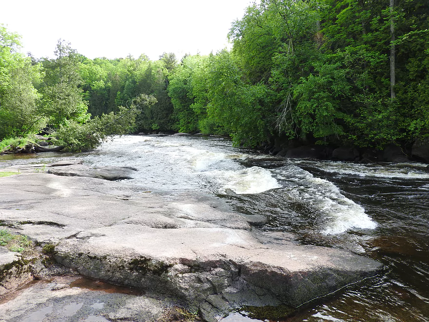
Gilmore’s Mistake Rapids just past the take-out
Gilmore’s Mistake Rapids just past the take-out
Dragonfly emerging
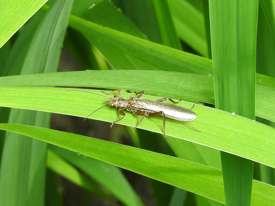
Stonefly
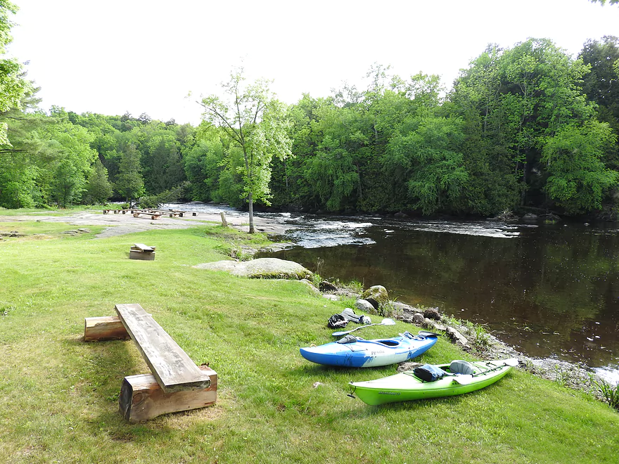
River bank at take-out
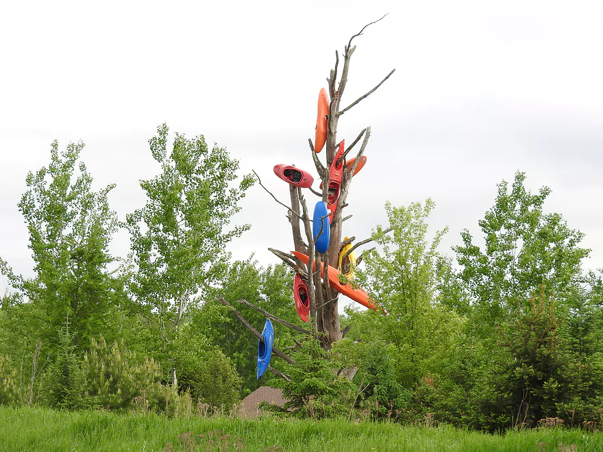
Kayak art at Bear Paw Outdoor Adventure Center between put-in and take-out
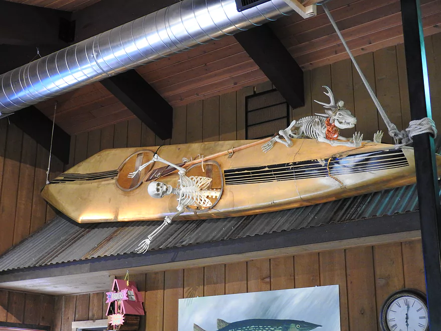
Decor inside Crab and Jack’s Inn
Wolf River – Langlade to Wild Wolf Inn

This section of the Wolf is not only one of the best whitewater stretches in Wisconsin, it has a number of additional perks too. From the very convenient put-in and take-out, to the water quality, to the scenery and the wildlife, the Wolf gets high marks all the way around.
The put-in shares a dedicated paved parking lot with the local DNR building. A short trail over grass leads you to the river. The take-out is next to an inn next to the water. Although it is private, the owner was very nice and gave us permission to take out there. This is a popular take-out. I assume the owner grants permission to everyone. A grassy slope turns to flat rock along the shore making it easy to get out. It is important to not go past this point unless you are up for a class four rapid named Gilmore’s Mistake! The river also enters the Menominee Reservation shortly thereafter and a permit is required.
The first 90% of the river is largely wilderness with very little evidence of civilization. The last 10% has several vacation homes. The river has good water quality and is a nice mix of flatwater, boulder gardens, and rapids. There are numerous class ones and twos, and 3 or 4 class three rapids. The class threes consisted of standing waves and numerous boulders. The water was rambunctious, but not terribly tricky to negotiate. Two suspension bridges over Boy Scout Rapids are owned by the boy scout camp. They do whitewater training there. We were granted permission to put in there in the past.
Wildlife was abundant, especially insects of all varieties. Dragonflies, mayflies, and deer flies were emerging in large numbers. It rained half the trip, so we didn’t see a lot of birds. We saw a bald eagle, common mergansers, and a rose-breasted grosbeak, among others.
If I had it to do over, I would bring a better skirt. The class threes are as wet as they are fun.
Thanks Corbin for the review! Note to readers…you are always welcome to submit guest reviews which you can do so using this form.
Detailed Overview
- Upstream of Pearson: I don't know much about.
- Pearson to Hwy A Landing: 2.0 miles. Mostly flatwater. Class 2 rapids directly at take-out.
- Hwy A to River Road Landing: 2.1 miles. Starts with a stretch of Class 2 rapids. Flatwater after that.
- River Road Landing to Military Park: 4.8 miles. Mostly flatwater, but there are class 1 rapids before and also at the take-out.
- Military Park to Lily/Hwy 52: 4.3 miles. Includes several longer stretches of Class 1 rapids and a boulder garden at the take-out.
- Lily to Wolf River Landing Road: 3.4 miles. Good stretch with multiple Class 1 rapids and two sets of Class 2's.
- Wolf River Landing to Hollister: 3.1 miles. Maybe 4-5 sets of Class 1 rapids. Also some longer stretches of flatwater.
- Hollister to Langlade: 8.7 miles.
- Hollister to Irrigation Ditch Landing: 5.9 miles. Fantastic stretch and popular. Five sets of Class 2 rapids and multiple Class 1 rapids.
- Irrigation Ditch Landing to Langlade Landing: 2.8 miles. Great stretch and popular with tubers. 3 sets of Class 2 rapids.
- Langlade to Wild Wolf Inn Landing: 10.6 miles.
- Langlade to Herb's Landing: 6.5 miles. Good rapids density in the first few miles. Rapids are starting to get stronger. Two sets of Class 2's and multiple Class 1's.
- Herb's Landing to Hwy M/Markton: 3.2 miles. One set of strong Class 2 rapids and the first Class 3 on the river in the Boy Scout Rapids. There have been deaths at the Boy Scout Rapids. Mostly due to people getting their feet trapped in the rocks. If you get dumped NEVER try to stand up in strong water, because if your foot gets wedged into a rock, you won't be able to back out. Instead keep your feet up and float to a safe spot. You can scout the Boy Scout Rapids from the boy scout camp (there are two pedestrian bridges that cross the rapids for an excellent view). However, you do have to check in with the local scout office and get bracelets and fill out paperwork (I was really surprised how bureaucratic the boy scouts are!).
- Hwy M to Wild Wolf Inn Landing: 0.7 miles. Mostly uneventful except for Class 3 rapids at the end (Gilmore's Mistake). You can take out before the rapids and/or scout them easily enough from shore. Many paddlers take out at the Wild Wolf Inn Landing, but it is technically private. You may want to ask permission before using.
- Wild Wolf Inn Landing to Otter Slide Landing: 6.3 miles. This is the start of Menominee County which is an indian reservation that does not allow public access to the river. You have to purchase an access bracelet from an authorized livery (Shotgun Eddy's or Big Smoky Falls Rafting). I don't suggest trespassing as Menominee trespassing fees are quite severe. Parking may be tricky...call one of the liveries to ensure availability. This stretch has several strong Class 2's and a dangerous Class 3 in Pismire Falls. Scout this before running. Shotgun Eddy Rapids are among the longest on the entire river.
- Otter Slide Landing to Big Smoky Falls: 6.0 miles. This is a difficult section with many class 3+ rapids and two class 4's including Big Smoky Falls. Only pro whitewater paddlers with training and gear should run this. Parking can be restricted and tricky in some areas. If nothing else, I do recommend hiking "The Dells" by foot which is absolutely gorgeous (I've marked this on the map and show it off in the pictures/video).
- Big Smoky Falls to Shawano County Border: The river is completely off limits to paddlers (there are remaining waterfalls and rapids in this section).
- Shawano County Border to Mouth: The Wolf suffers from many flowages and is generally bigger, slower and more boring. There are some odd sections you can do with some ok boulder gardens...but none of this compares to the upstream sections.
Trip Map
Overview Map
Video
Photos Size: