
Launching at Washington Manor Park…some dragging required
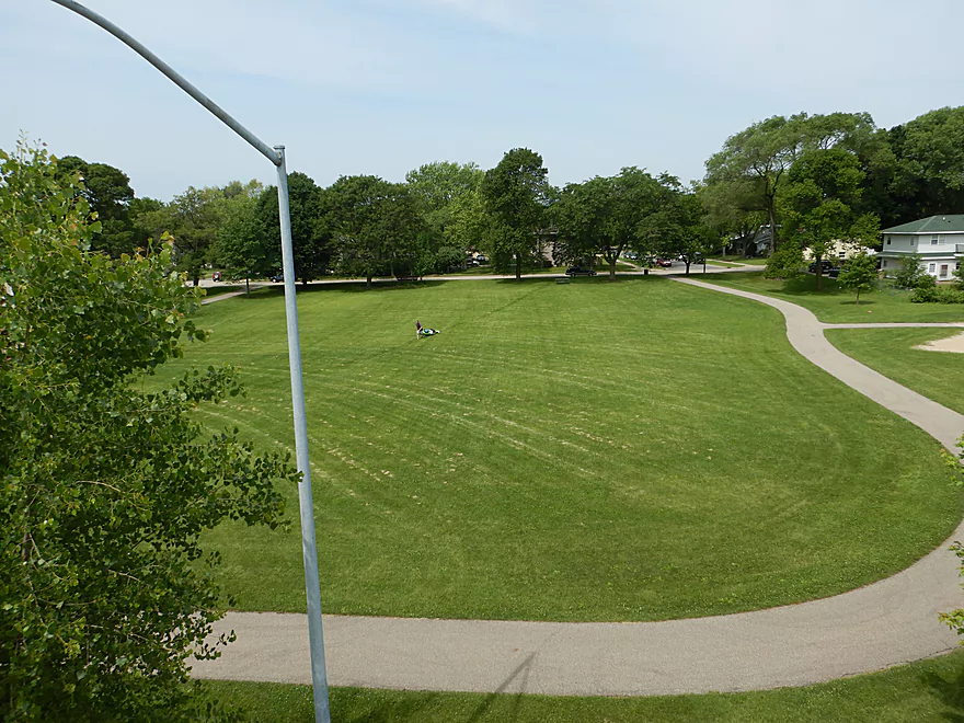
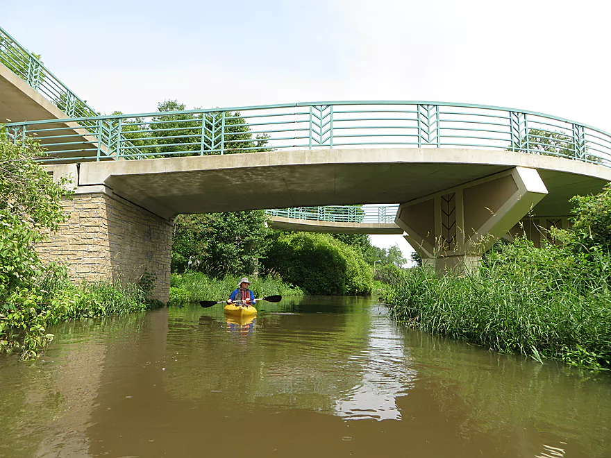
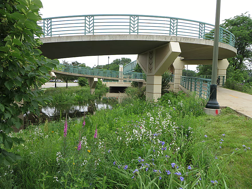
The park is overlooked by a spiral bike trail
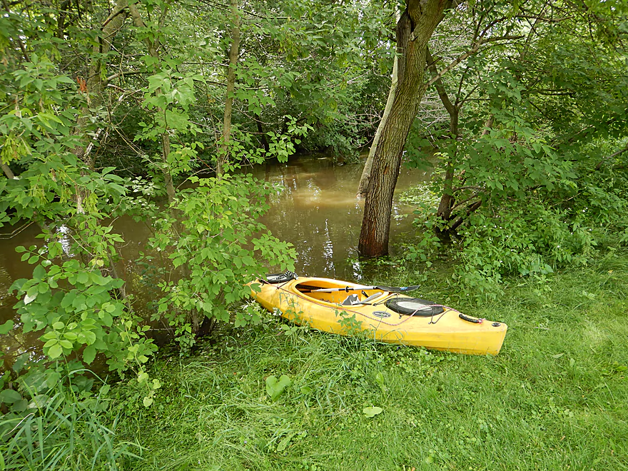
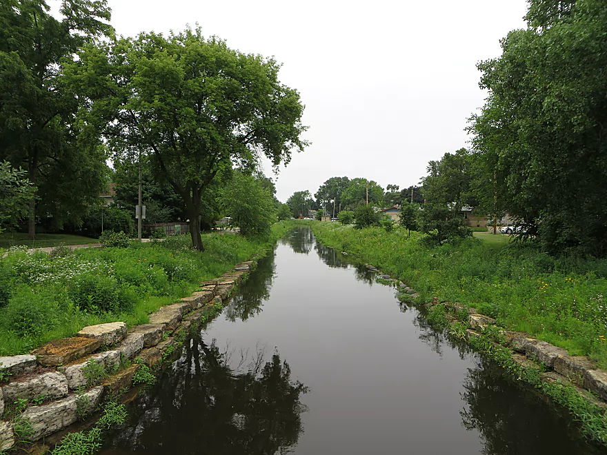
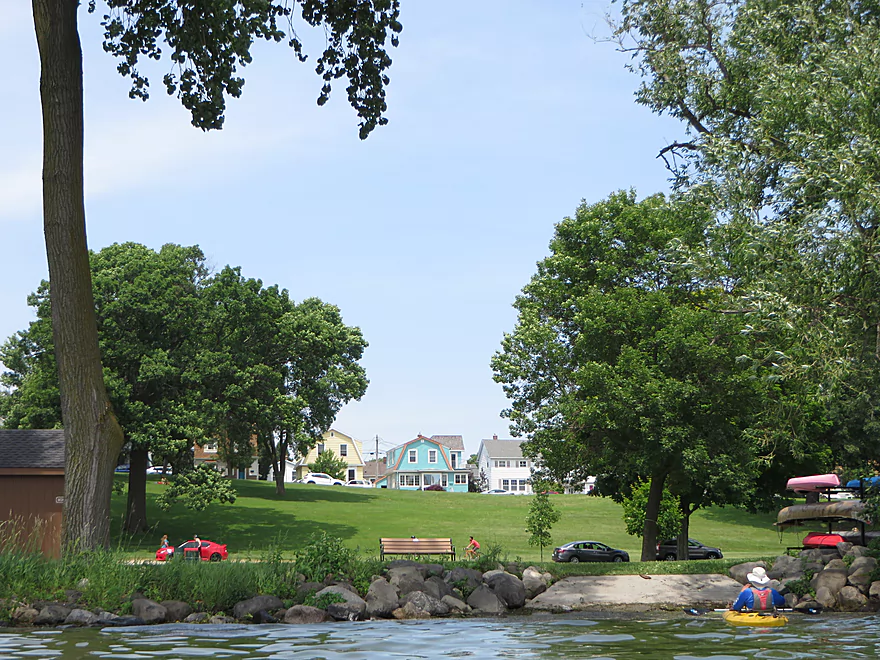
Good launch option in park
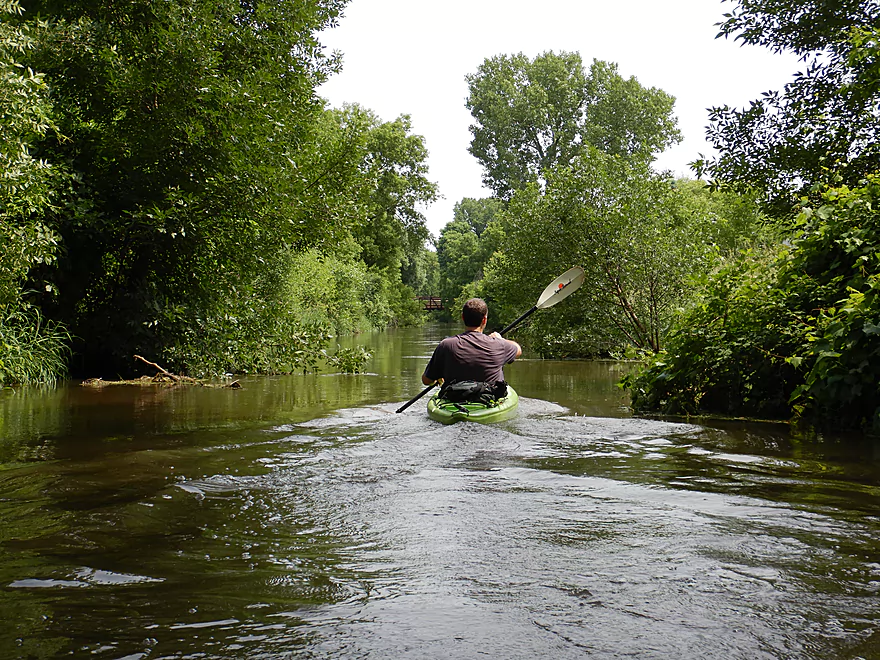
Paddling by the trail
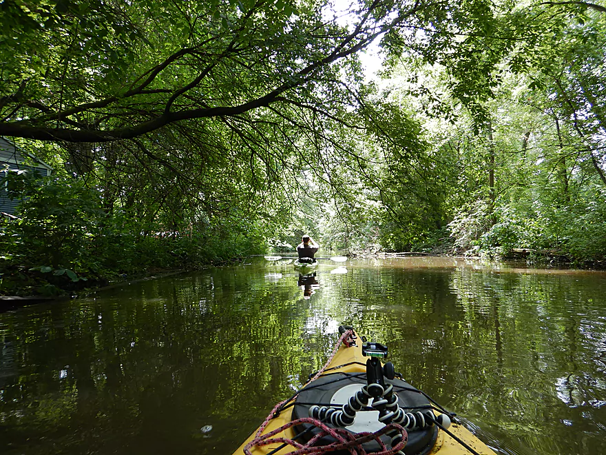
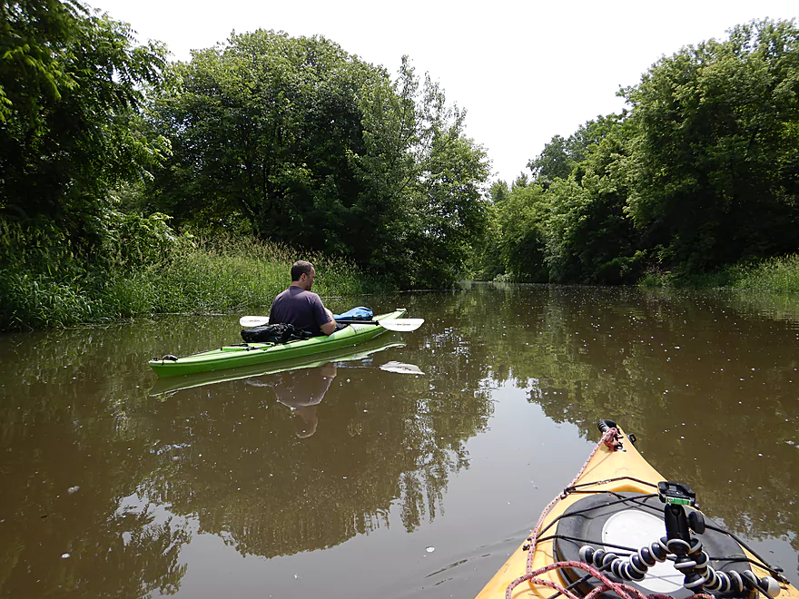
Heading upstream to see how far we could go
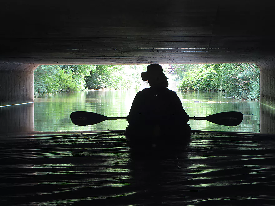
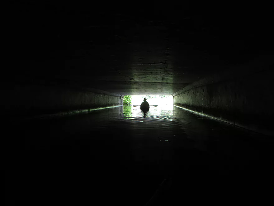
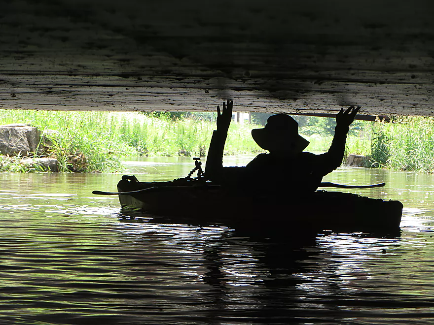
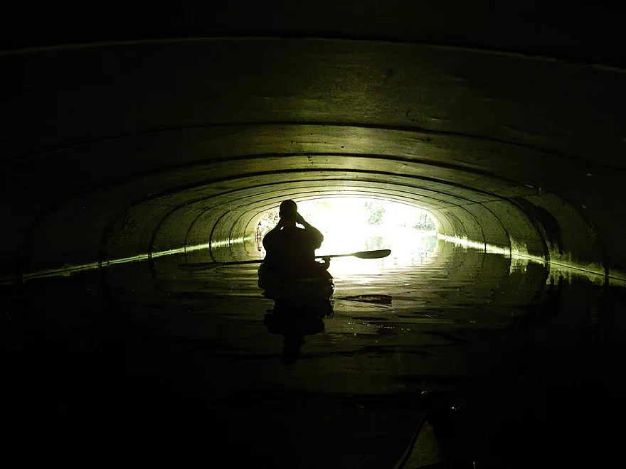
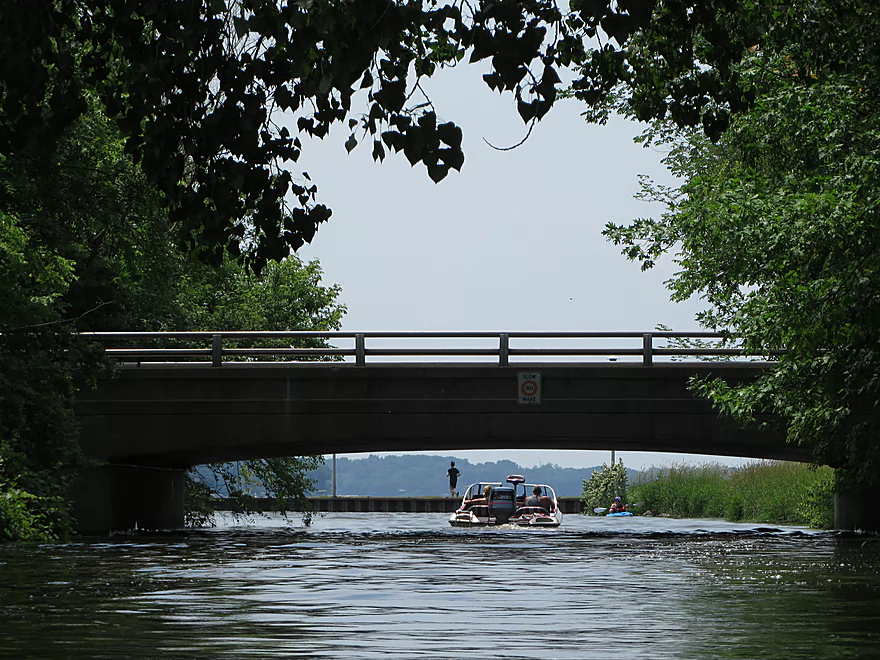
Some under-exposed bridge silhouettes
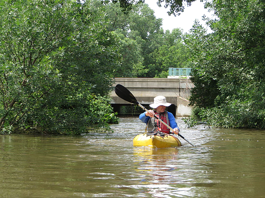
Fighting some surprisingly decent current
As far as we went upstream…time to turn around
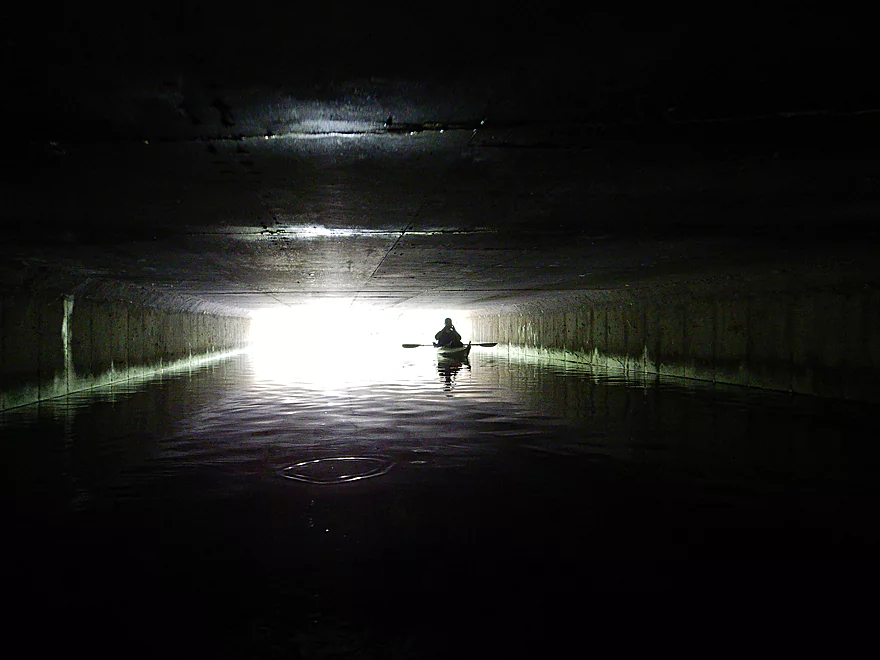
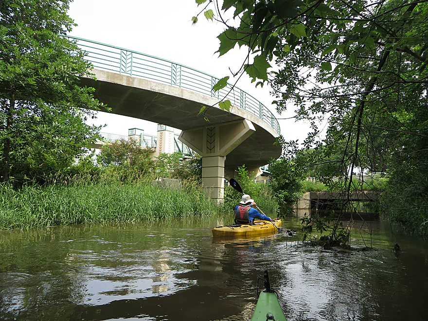
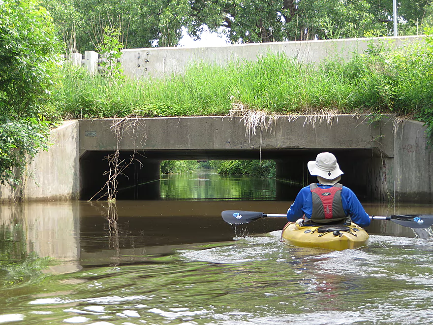
Back under Hwy 30
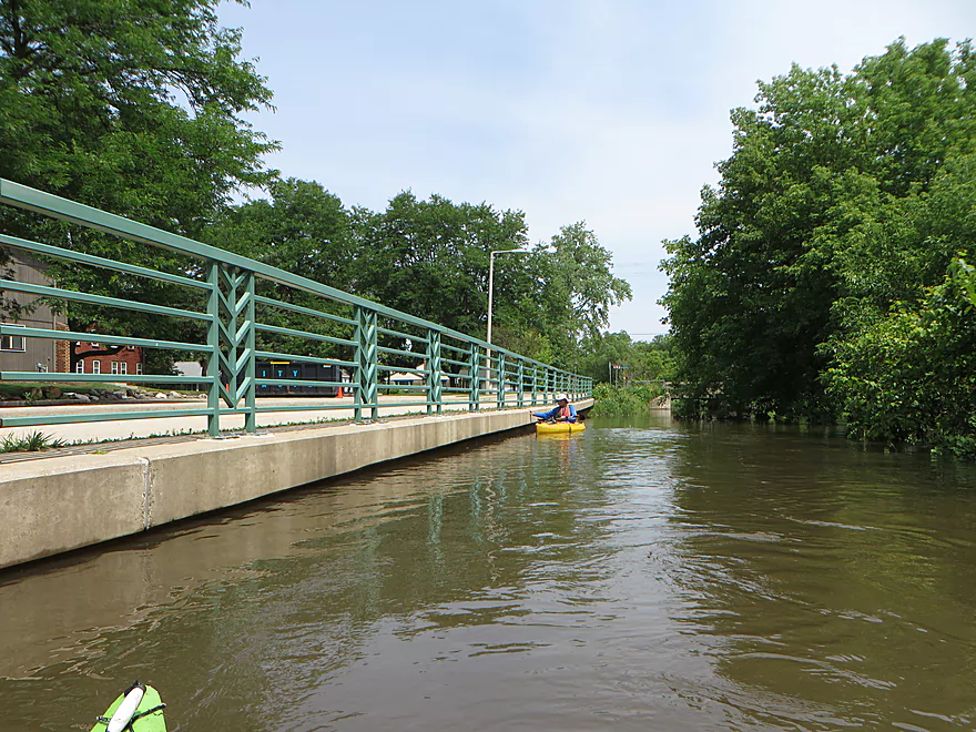
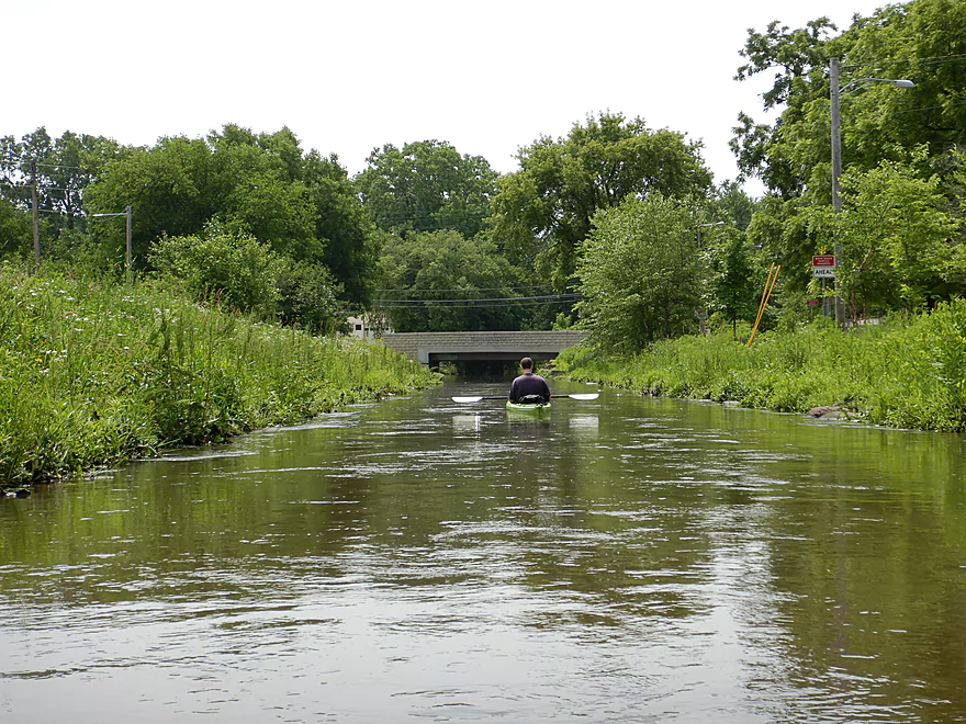
The bike trail parallels much of the creek
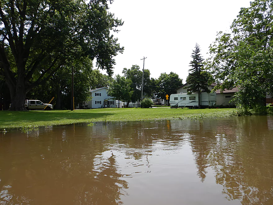
The creek just on the verge of flooding the neighborhood
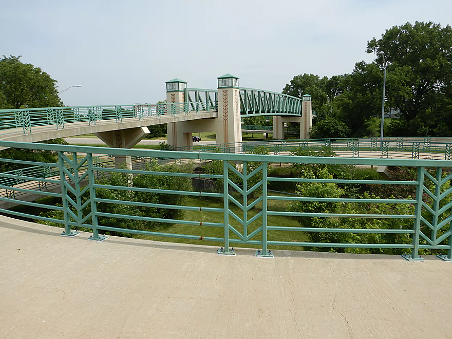
Another spiral bike ramp
Really cool
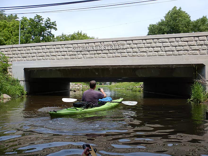
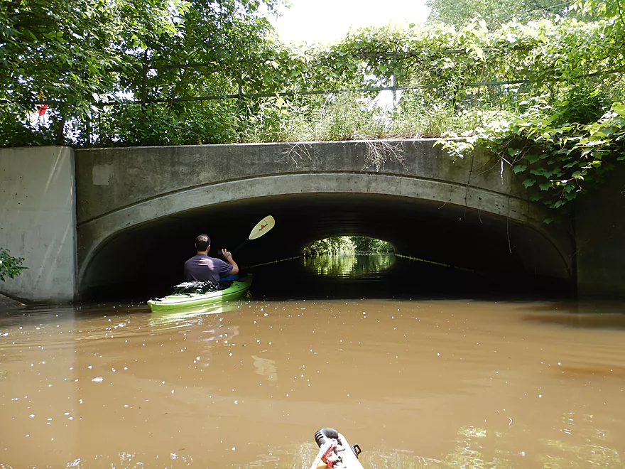
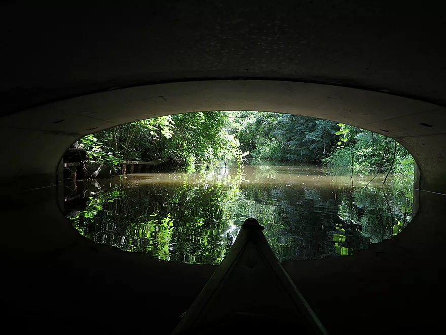
Paddling under Hwy 151
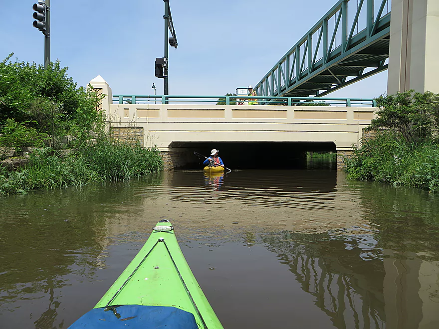
Reverse view
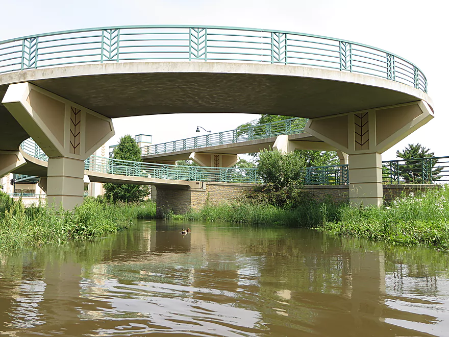
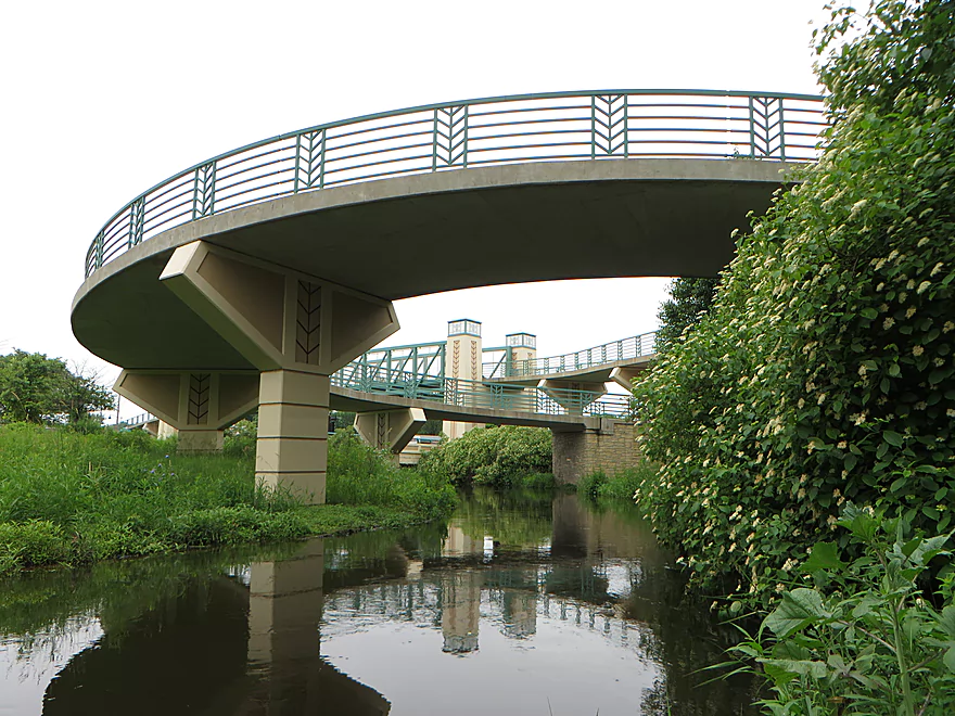
Another spiral ramp south of the bridge
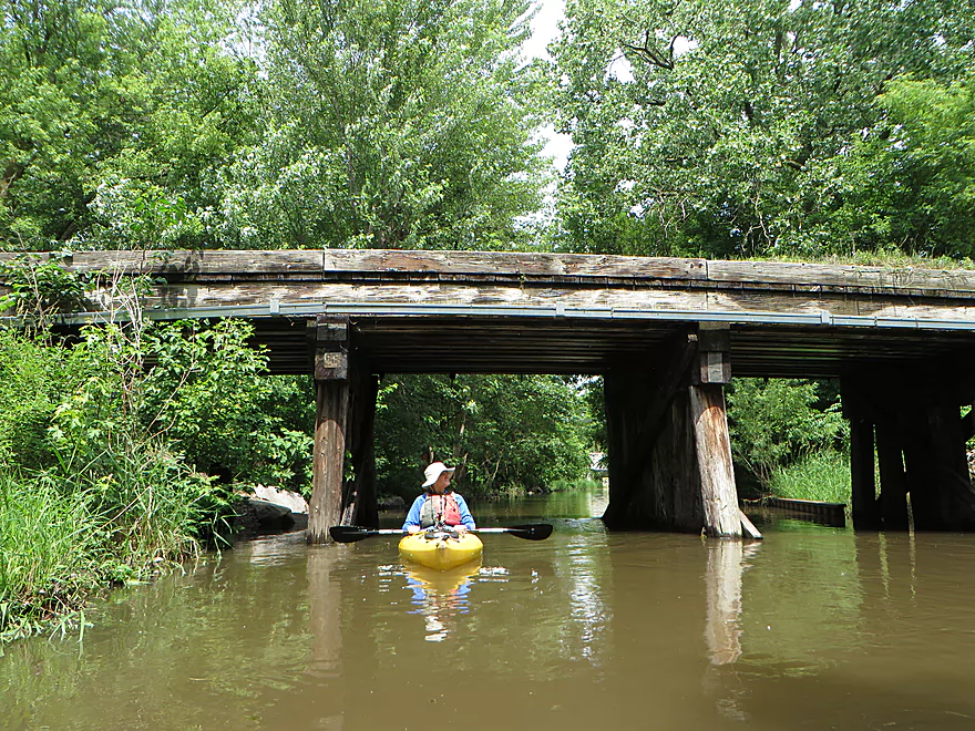
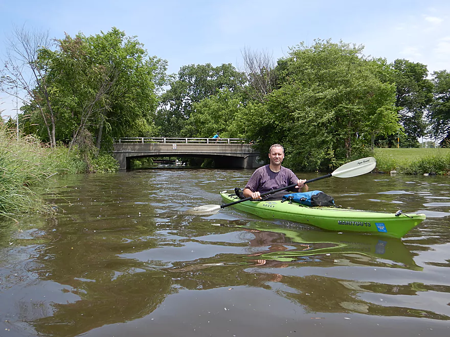
Darbo Drive was a bit tight…but plenty doable
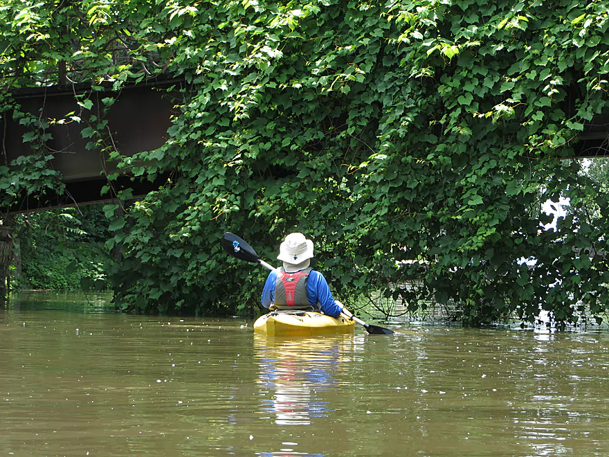
That bike trail was constantly crossing the creek…
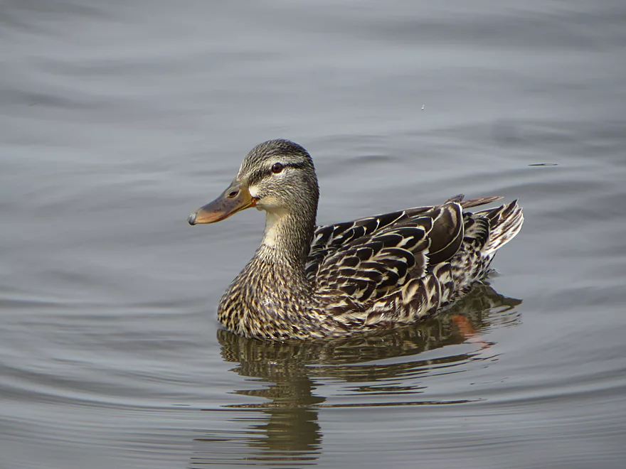
We saw a lot of ducks
The banks south of Darbo have seen some restoration work
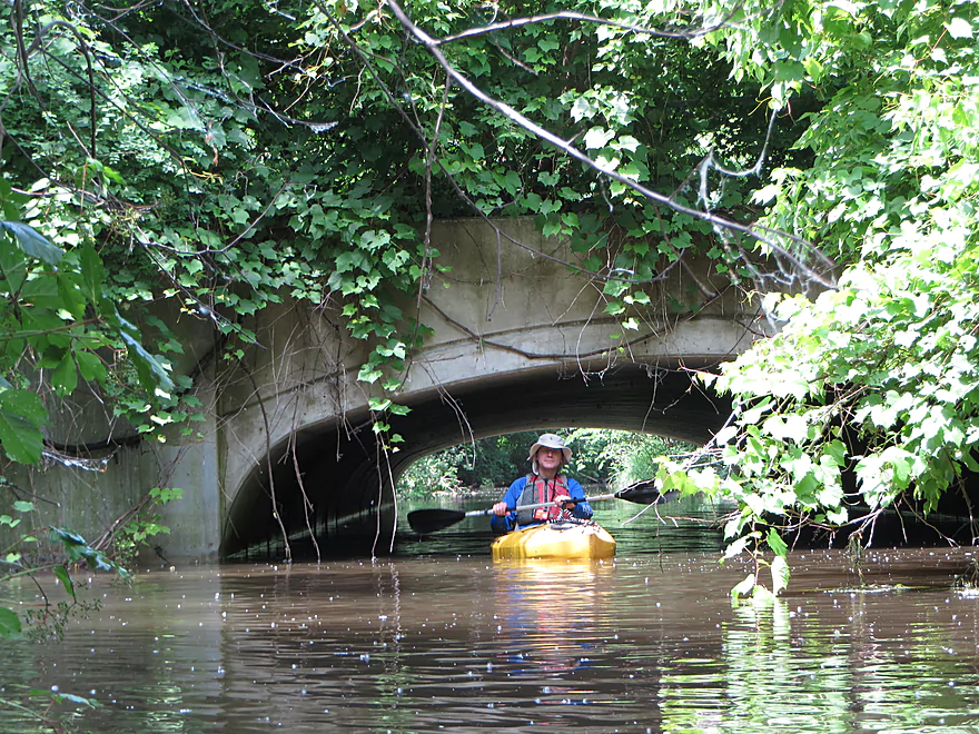
Another scenic bridge
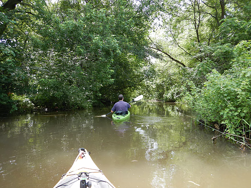
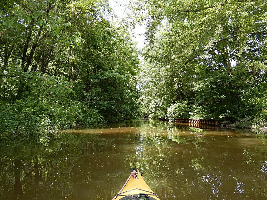
So much green…hard to imagine at times you are in a city
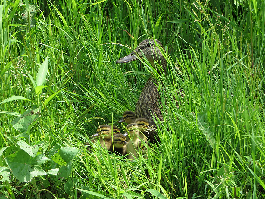
A hiding duck family
Crossing under a railroad bridge
Of all bridges, Fair Oaks Ave was my favorite
Reverse view
Countless seeds from cottonwood trees…neat effect
The east branch comes in and doubles the creek
Sherry Park is an access option
That was a surprise…
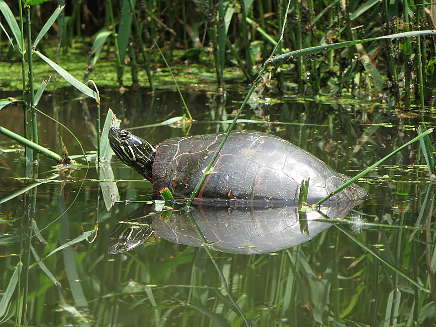
This painted turtle kept trying to shoo insects away from its nose
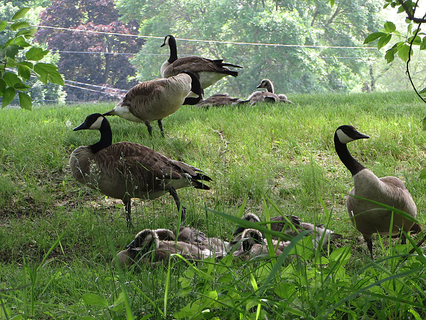
Geese doing yoga
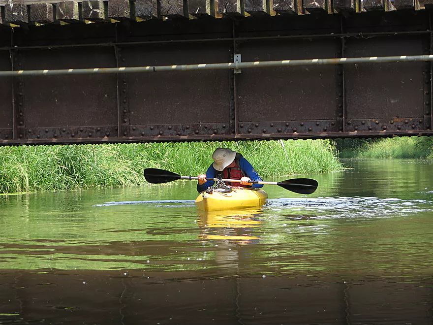
The only other low bridge
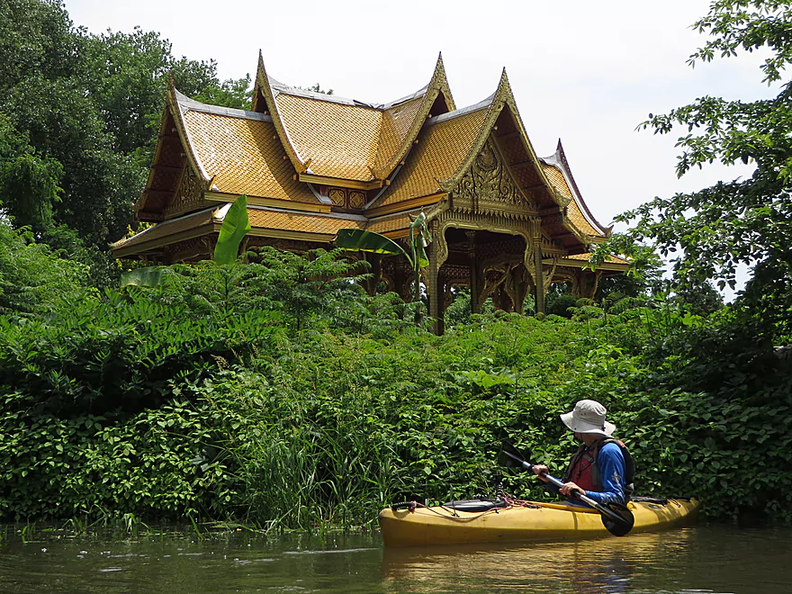
A Thai pagoada! Part of Olbrich Gardens.
Cool grape vines
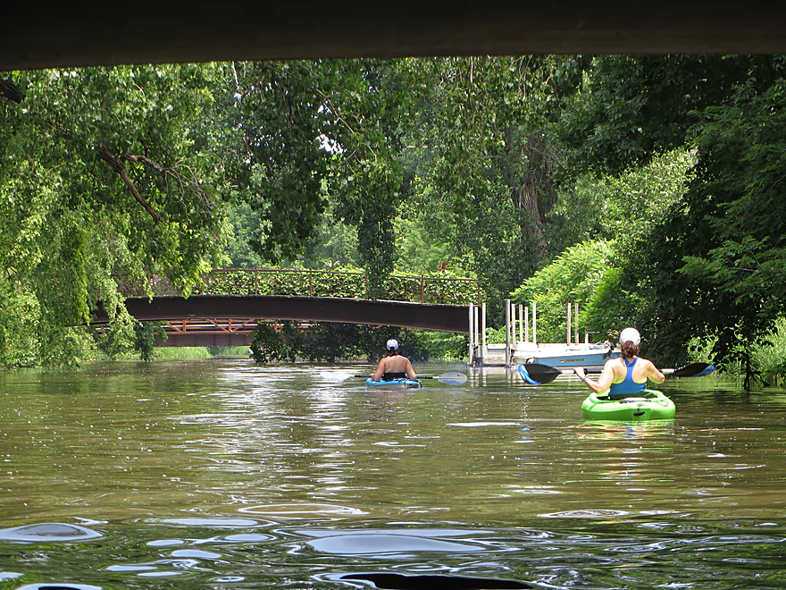
This is a busy section of the creek that sees a lot of paddlers
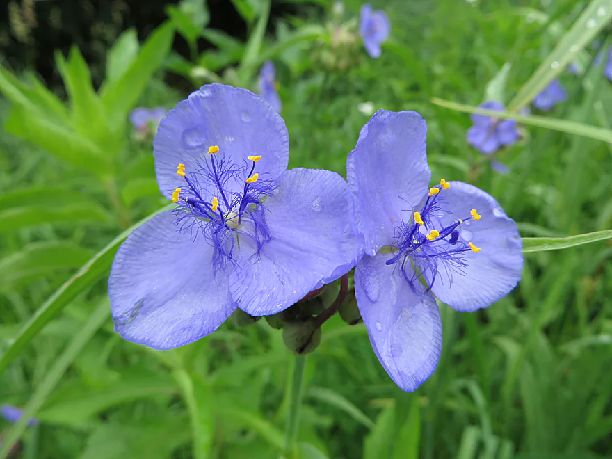
Spiderwort
The last bridge
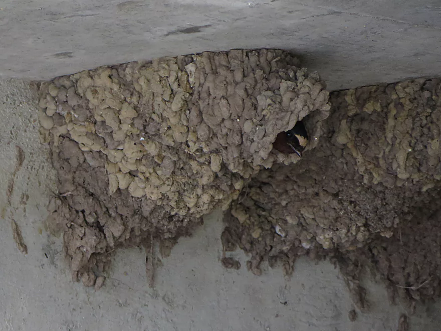
Somebody is peaking out
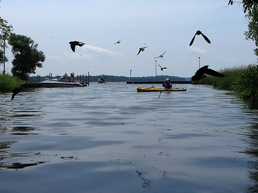
Being dive-bombed by cliff swallows
Last part of the creek
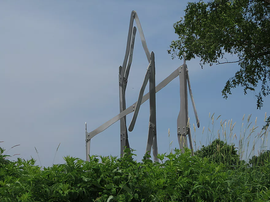
A very abstract sculpture…perhaps too abstract
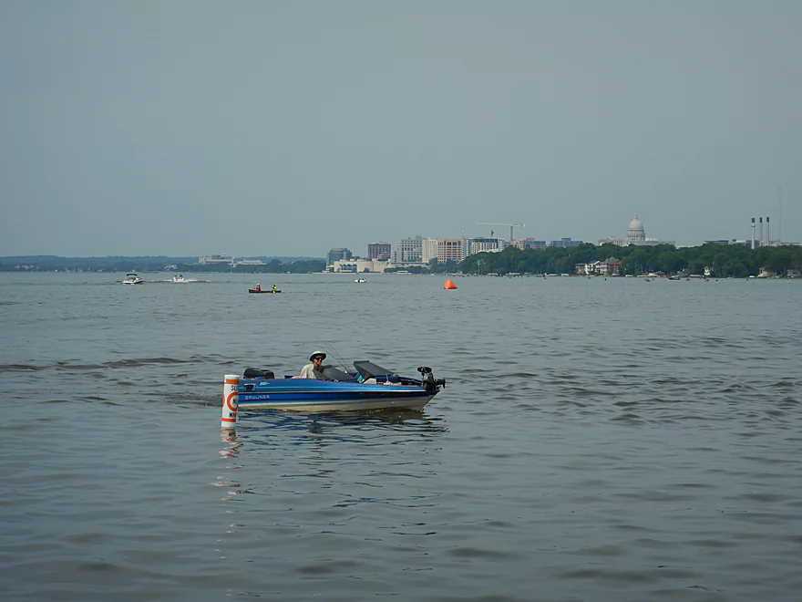
Paddling on Lake Monona
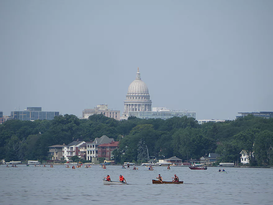
Isthmus Paddle and Portage racers
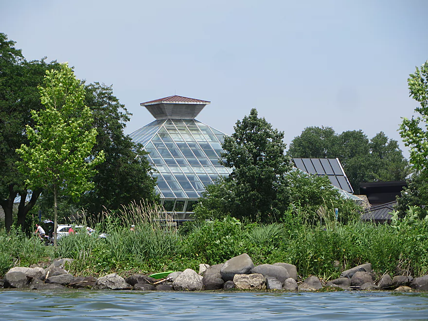
The large Olbrich conservatory is visible from the lake
Taking out at Olbrich Park
Starkweather Creek

Starkweather Creek is a tributary to Lake Monona located on the east side of Madison. Many years ago it used to consist of multiple marshes fed by natural springs. Many of the wetlands have since been filled in, the creek was straightened and deepened for urban runoff, and there have been numerous contamination issues. The most noteworthy culprit was a a large sugar beet factory that used to dump all of its waste into the creek. Since then the creek has seen revitalization efforts spearheaded by the Friends of Starkweather Creek that have included bank restoration and garbage cleanup.
There aren’t that many great access options on upper Starkweather Creek and the best I found was Washington Manor Park. One of the more striking features of the park is its large spiral bike path that struts out over the water and then crosses Hwy 30. Not as impressive was the high and dirty water from the creek, an unfortunate byproduct of the recent heavy rains. Several lawns were partially submerged and some storm drains were backed up.
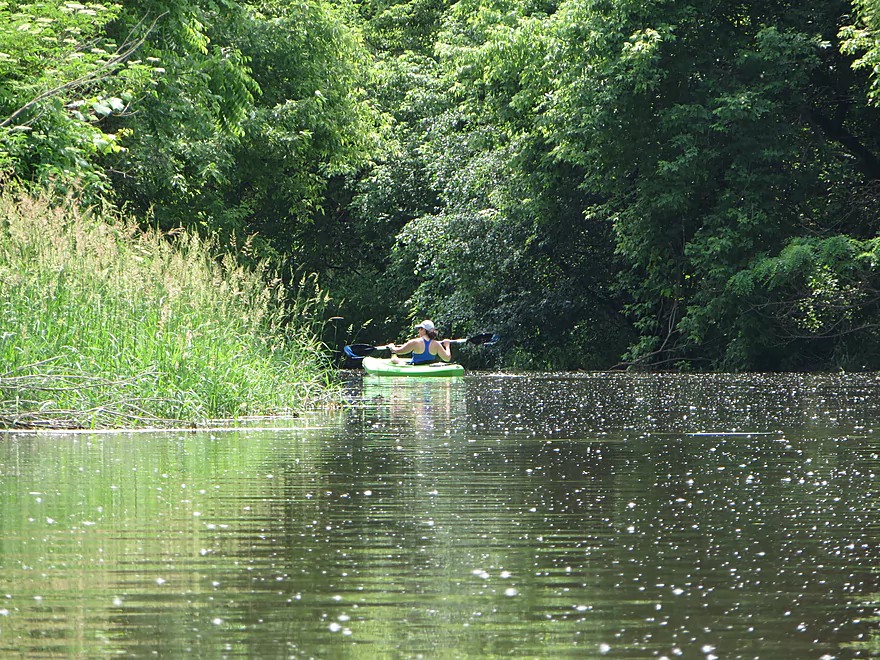
Because this trip was short, I had planned to paddle upstream as far as I could from the park to hopefully the golf course and perhaps even the airport. But after a quarter mile of paddling the current proved too strong and we gave up on that idea. The downstream trip started nice with a surprising amount of green space…not something you figure for a creek in the heart of a large city. We did get periodic reminders though of where we were based on the low flying airplanes.
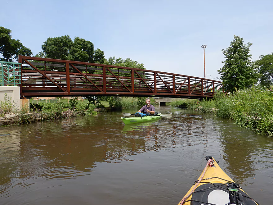
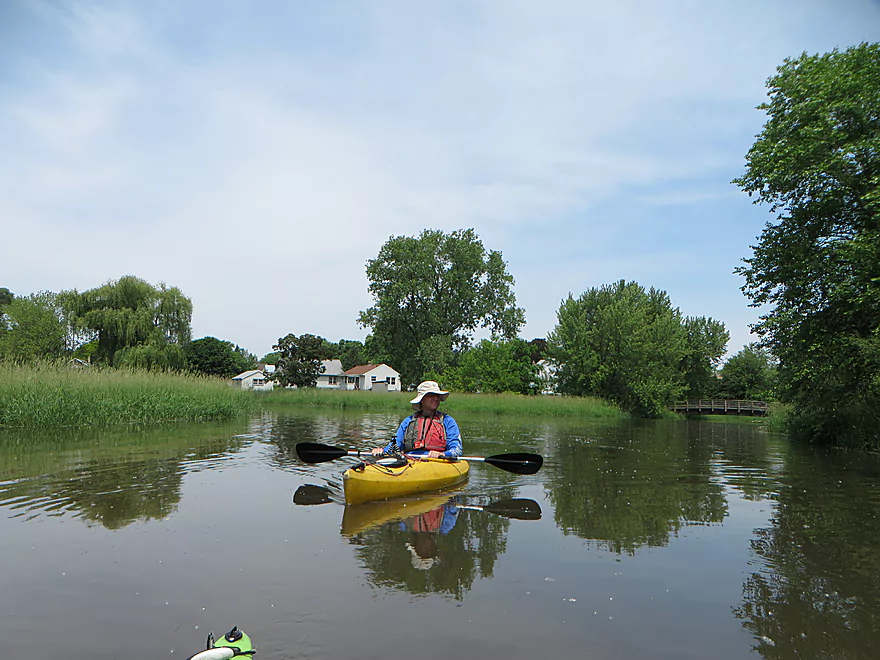
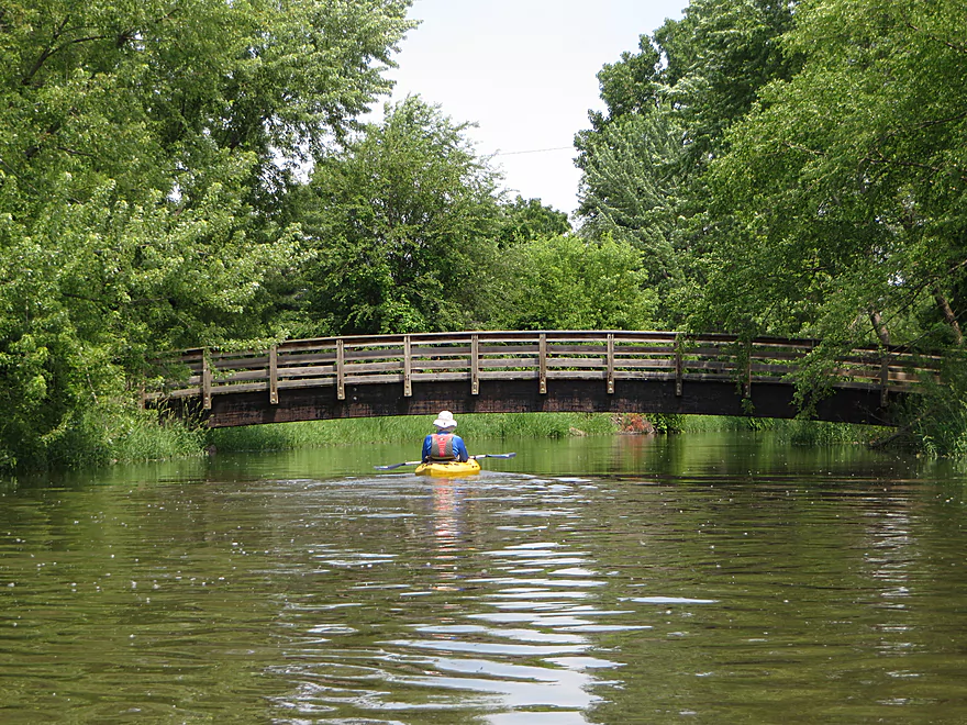
A significant demarcation in the trip was at Sherry Park, where the east branch joined up to double the size of the creek. Here the current slowed dramatically and we started to see other paddlers on the creek. This was the start of a section that was pleasant, but busier and a bit more urban. One of the highlights were the numerous fuzzy cottonwood seeds floating on the water. There were many bridges (~12) and quite a few were attractively constructed including several arched bridges. The best were the “spiral bridges” near Hwy 151 and Hwy 30 that allowed bikers to get past these busy roads. Several had extensive grape vines growing over them which looked cool.
Another trip highlight was Olbrich Gardens. From the creek, you can see the Thai Pavilion framed by tropical plants which was quite striking. Then later from Lake Monona, paddlers can see the main greenhouse which is a tall glass pyramid. If you have never been to Olbrich before, it is worth a visit.
The final leg of the creek passed two boat ramps (neither are great access options for paddlers) then, following a swarm of angry cliff swallows, emptied into the lake. Lake Monona is more of a powerboat lake, but paddlers do kayak on and enjoy it. Many sneak up Starkweather Creek from the mouth, but most don’t paddle too far upstream. “Isthmus Paddle and Portage” happened during our paddle, and the entire area was bustling with activity. The trip ended on a nice note at the west end of Olbrich Park where there was a good take-out and away from the crazy crowds to the south.
We put in at Washington Manor Park just south of Aberg Ave. Street parking is available on N. Oak Street. This wasn’t a bad launch option with a nice grassy area for launching…but it did require dragging our boats 340′ over the park lawn to reach the water.
We took out at Olbrich Park where there is a small hidey concrete ramp that paddlers use for access. Street parking is available on the dead-end road Lakeland Ave.
An alternate take-out would be at Olbrich Park Beach, but that can be crowded.
It may be tempting to use the boat launch at Olbrich Park, but the main parking lot can only be used by cars with trailers.
We car shuttled, but a bike shuttle would have been a great option. The main route would be almost entirely on dedicated bike trails (Capitol City Trail and the Starkweather Creek Path), and would have fantastic vistas of the creek, and be only 1.8 miles.
Simply skipping the shuttle and doing an up-and-back is an option when the current isn’t fast (lower levels).
Rutabaga has a rental service in Olbrich Park. Call 608-513-1308 for available kayaks, canoes and SUPs.
Pretty much none. A safe creek for beginners and suitable for larger canoes.
That said, the Darbo bridge was a bit on the low side, but we got through with little difficulty. Typically the creek is much lower and getting through here would be even easier.
The current downstream from Sherry Park was negligible, but upstream of the park it was much quicker (noteworthy for up-and-back paddlers).
This trip was done after Madison got a lot of rain (the local Whole Foods had shut down for a few days because of flooding). This resulted in 4-6′ depths and wasn’t a problem for paddling the creek, but did result in murky and dirty water. The Starkweather gauge has been discontinued, but the Lake Monona guage might be an approximate reference.
- 4.5-5.0′: Low levels, but I think the creek should be navigable. Weeds in late summer might be an issue.
- 5.1-5.5′: Below average levels and likely ideal for paddling.
- 5.6-6.0′: Above average levels with some clarity, but likely mostly opaque. To see what the creek looks like at 5.7′ check out this Quiet Paddling Wisconsin review.
- 6.1-7.0′: Very high levels and dirty water. Darbo bridge would be low, but should still be navigable. The current would be somewhat strong upstream of Sherry Park, which would limit round trip paddlers. This trip was done at 6.53′.
- 7.1’+: Extremely high levels. Darbo bridge and the railroad bridge above Olbrich could be problematic.
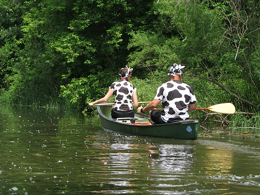
We didn’t see too much, but there were a few geese, many ducks, a handful of dragonflies, a painted turtle trying to shoo away insects with its feet, and a pair of cows (see photos).
- Washington Manor Park to Olbrich Park: 1.7 miles. A nice trip. Reviewed here.
- Olbrich Park Up & Back: Many paddlers put in at the mouth, paddle upstream, and then float back downstream. This is an ok option but in higher water the current can be strong upstream of Sherry Park.
- Anderson Street to Olbrich Park: 2.7 miles. A nice trip idea with the upper section being plenty navigable and flowing past a golf course. The only issue is there are No Parking signs by Anderson Street. Maybe one day the city will add a canoe landing here.
- Strabel Road to Olbrich Park: 2.8 miles. Near MATC, the west branch splits and one option might be to launch north of Straubel Street. The creek is very small here and it may require high water.
- Walmart (by Commercial Ave) to Olbrich Park: 2.2 miles. Most of this is technically the east branch which isn’t as interesting and has more logjams (maybe 3). Walmart might be a lousy put-in. A better way to explore the east branch might be to simply paddle upstream as far as you can go, then float back downstream.
Trip Map
Overview Map
Video
Photos Size:
I ran both branches today, 20-Jun-2025 and cleared a few problem areas. The Monona gauge was at 5.6 today.
East Branch is clear from the culverts just south of Hwy 30 to the confluence with West Branch.
West Branch Is clear from Anderson all of the way to Lake Monona.
Appreciate the update!