
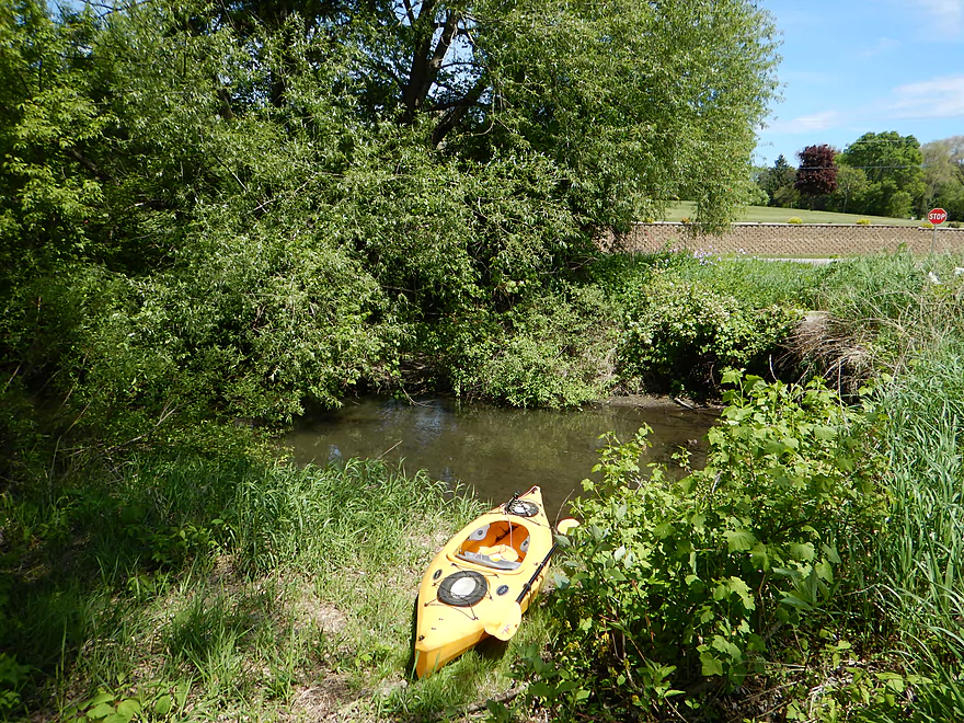
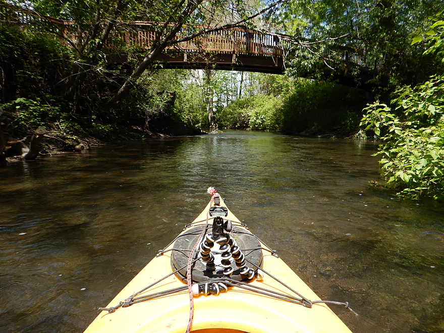
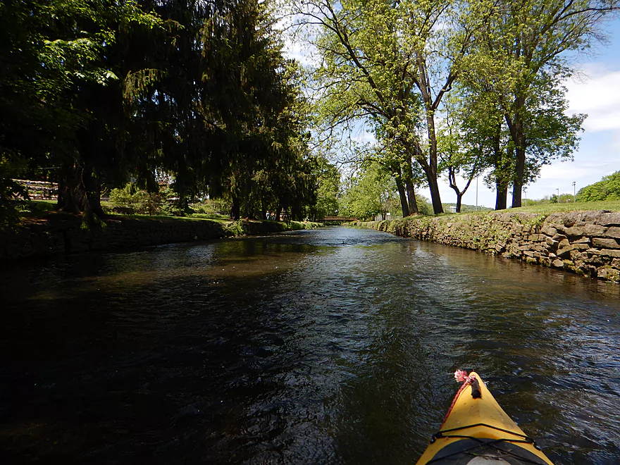
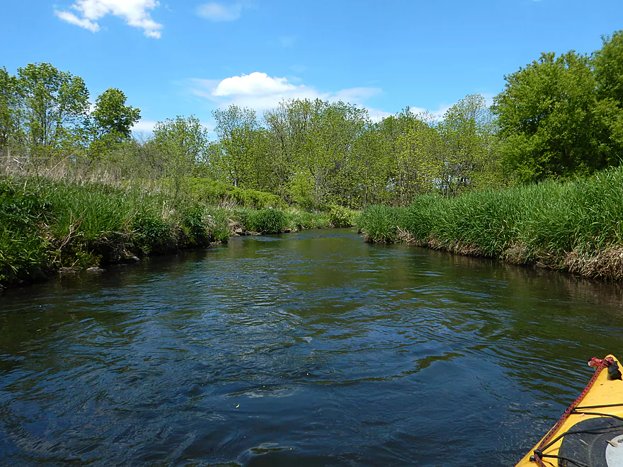
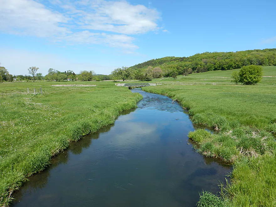
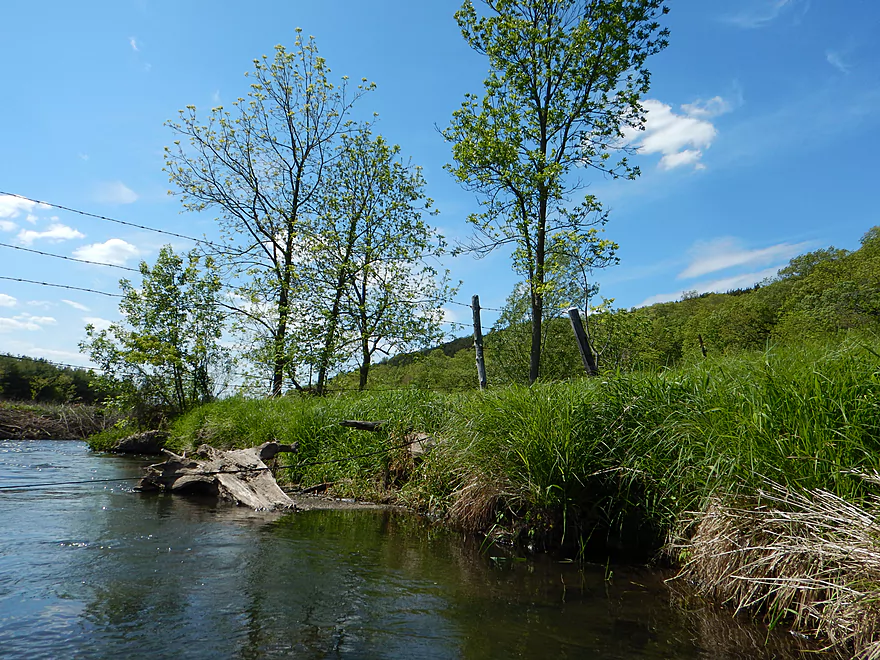
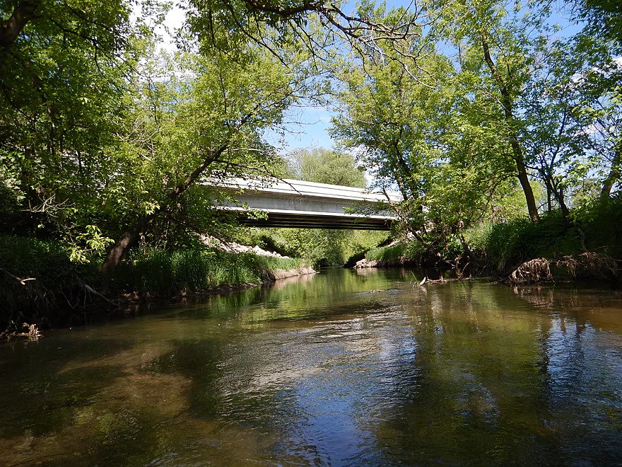
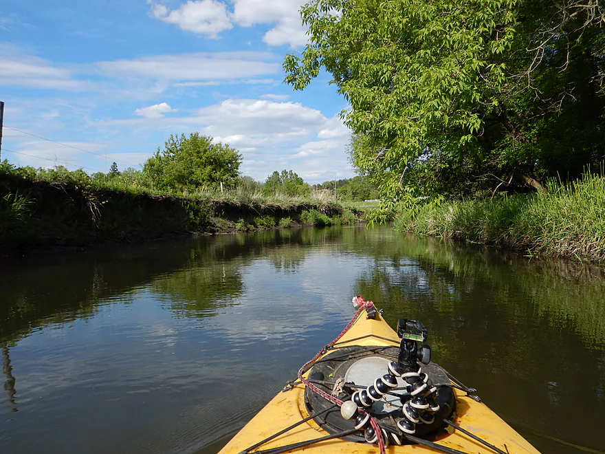
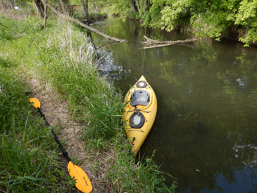
Good bridge access off Riddle Road
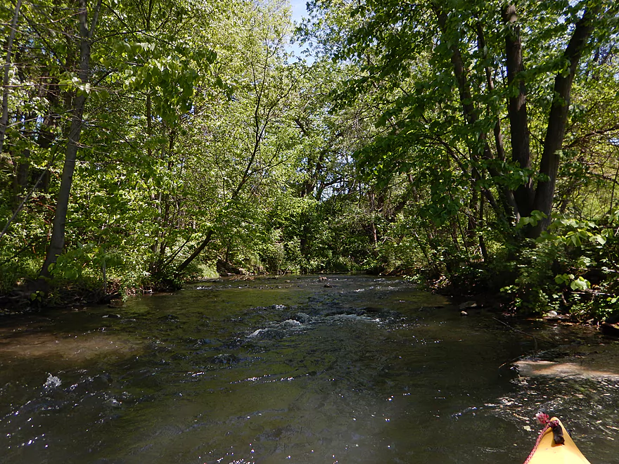
Bad omen to see a jam from the put-in
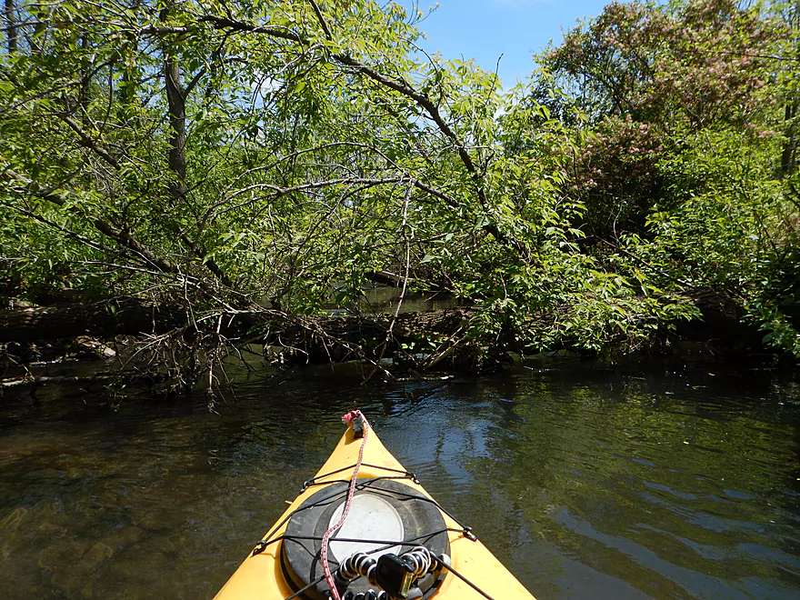
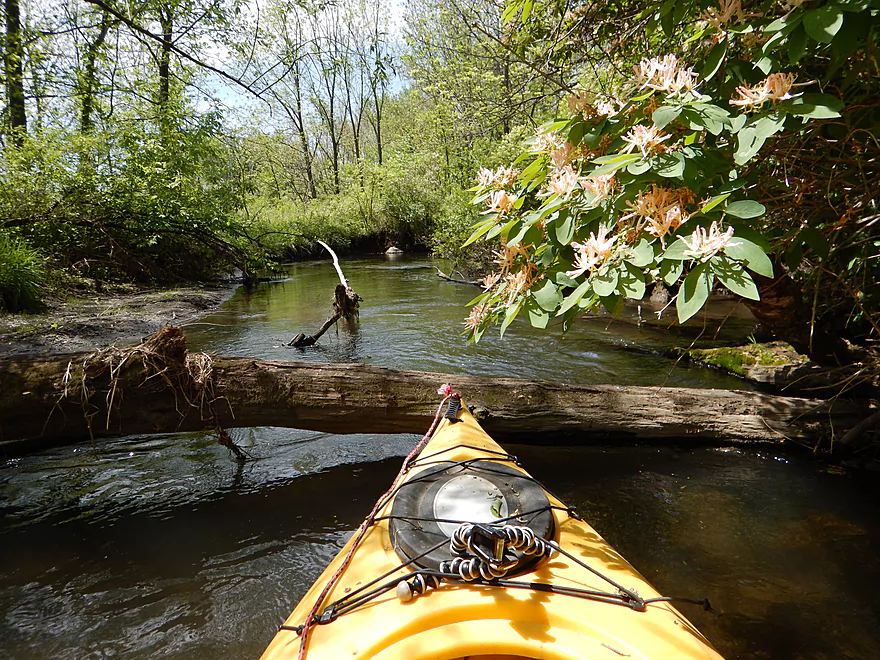
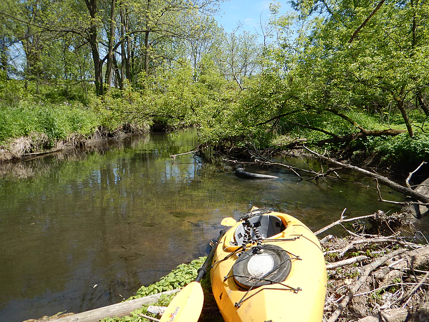
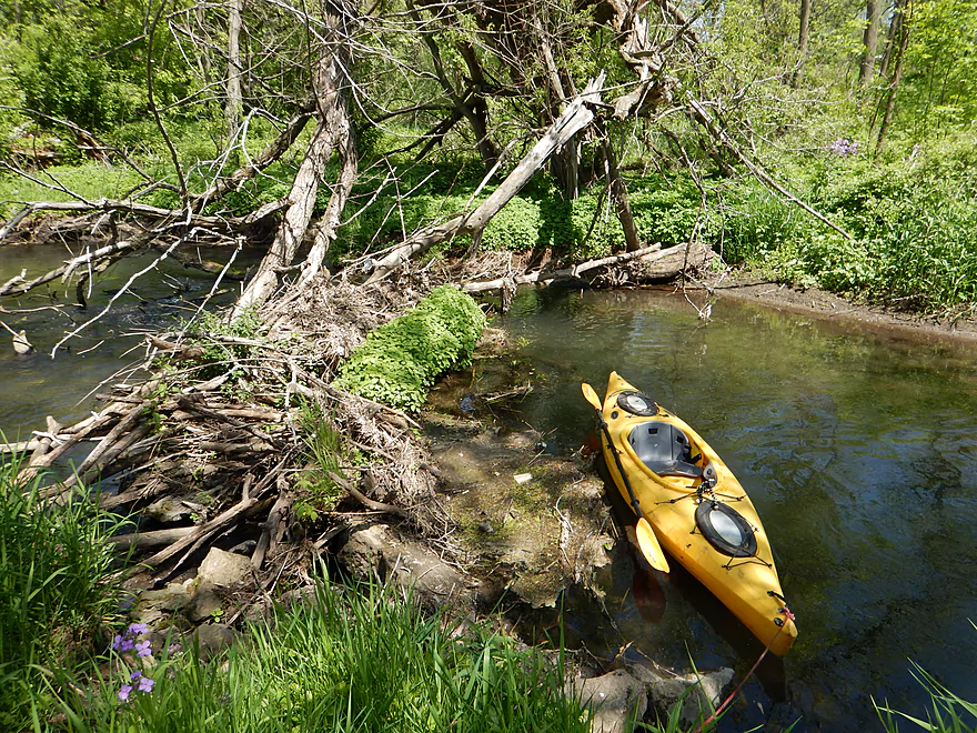
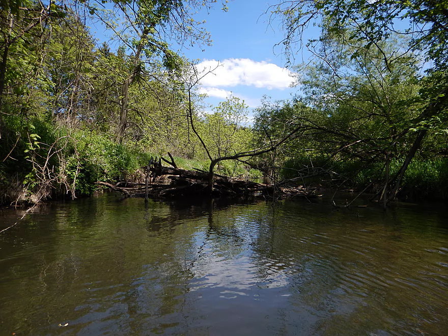
Log jam #1 of 20 (easy portage)
Log jam #2 of 20 (easy)
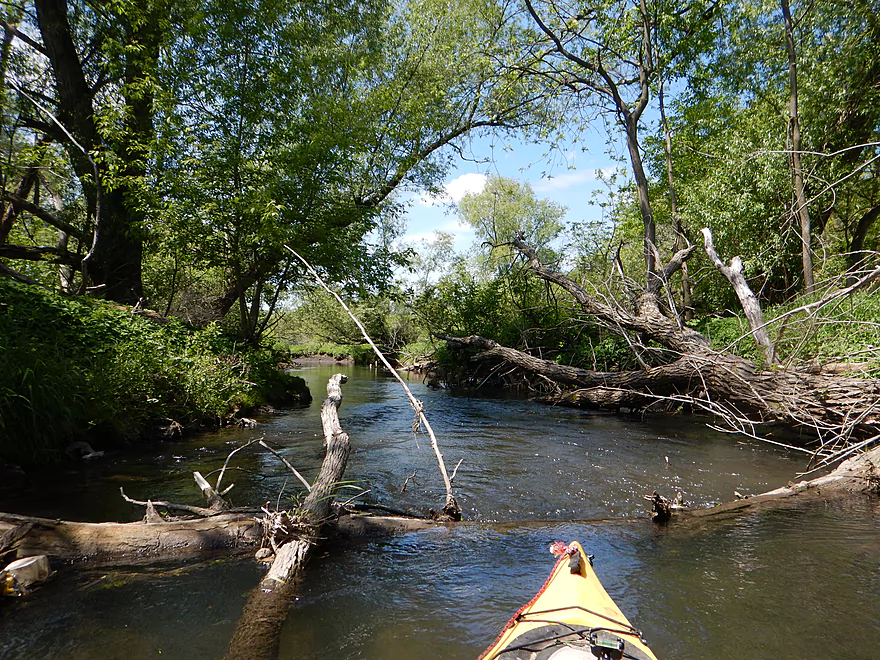
Log jam #3 of 20 (more difficult)
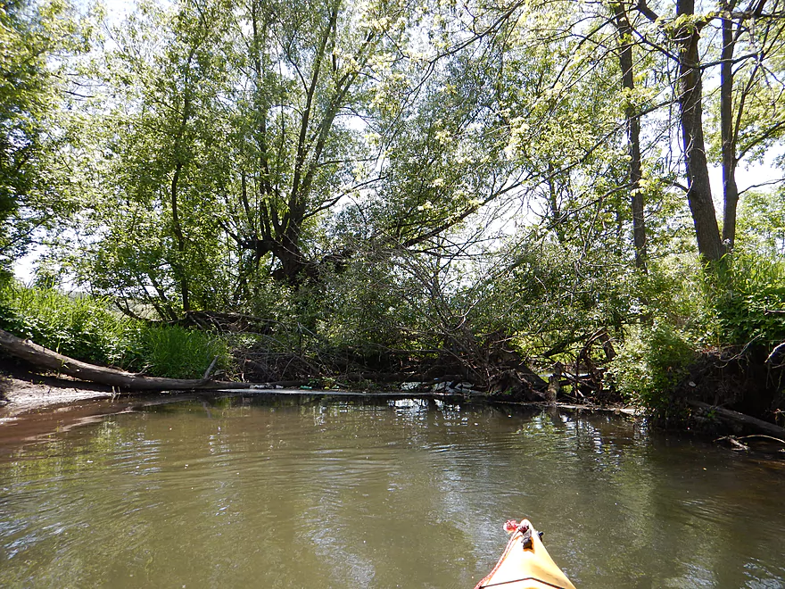
Log jam #4 of 20 (medium difficult)
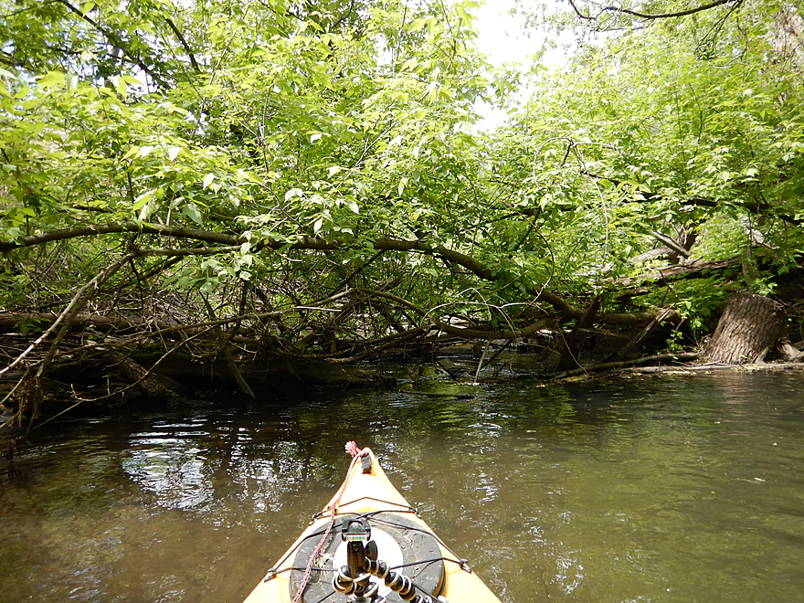
Lot of squeakers on top of the jams
Log jam #5 of 20 (easy)
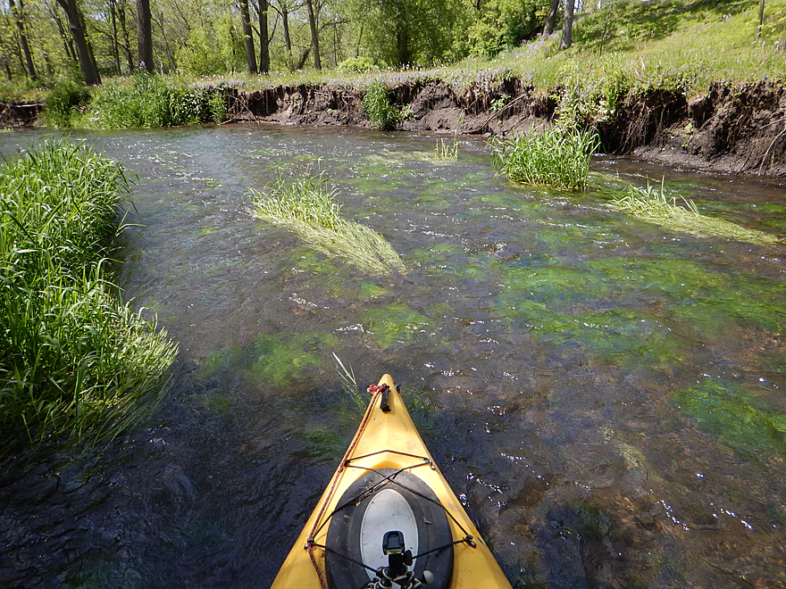
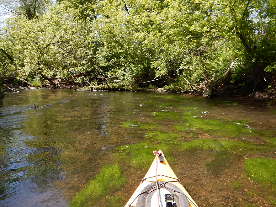
Huge mud banks create a canyon effect
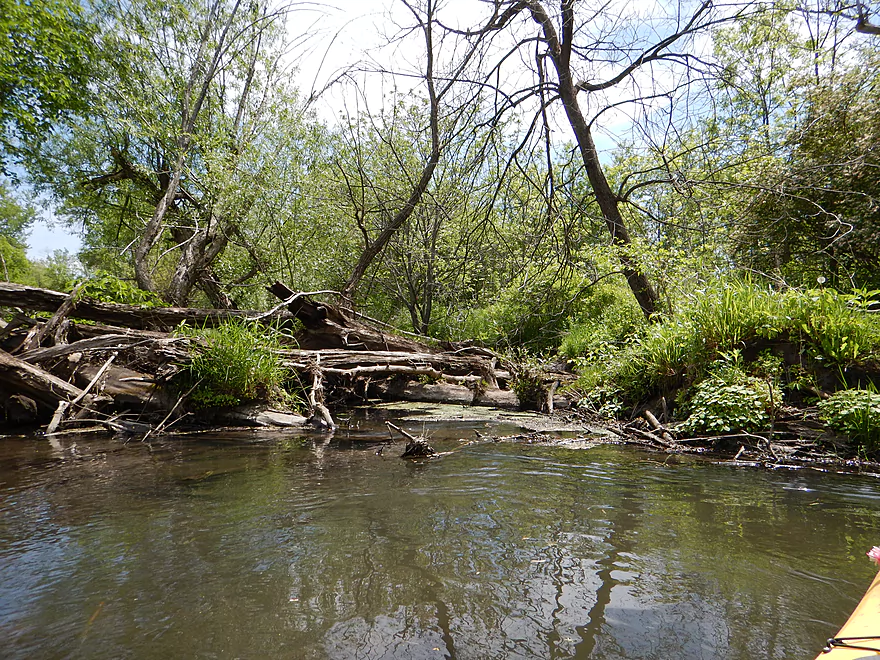
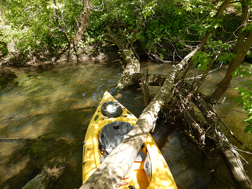
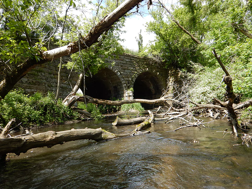
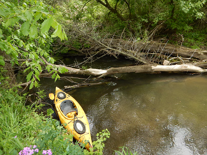
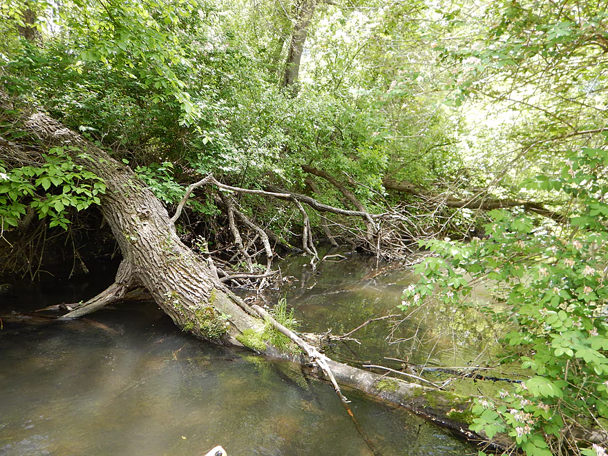
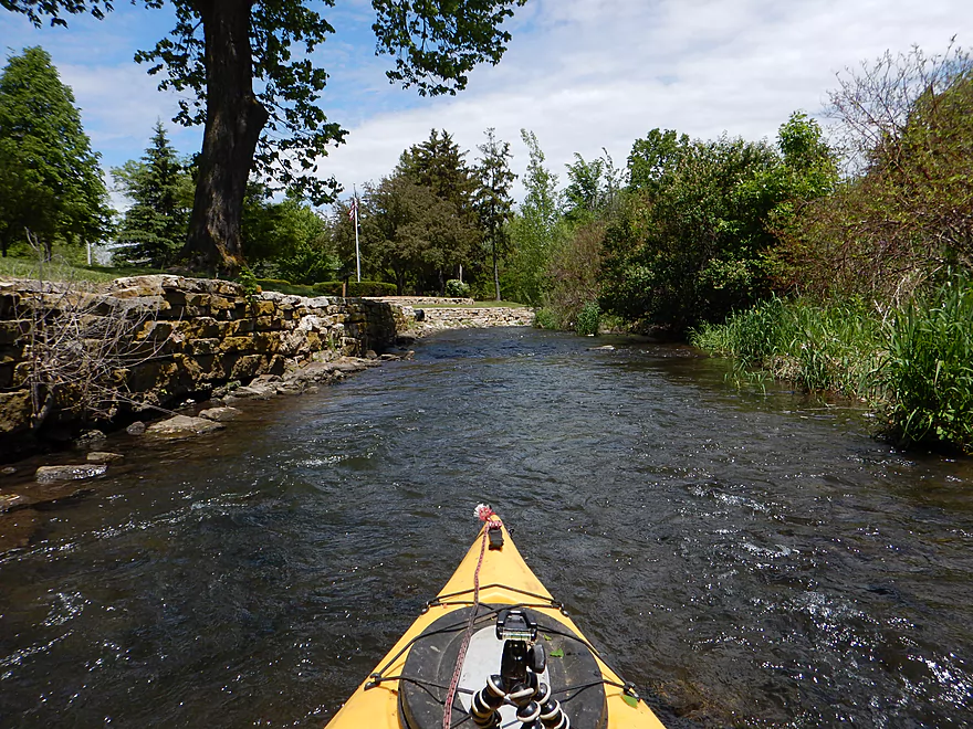
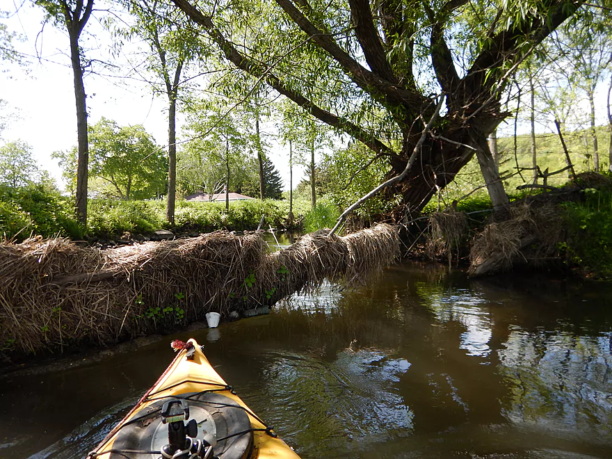
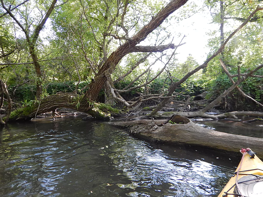
Log jam 6+ of 20 (difficult portages)
Log jam #7 of 20 (easy portage but on private lawn)
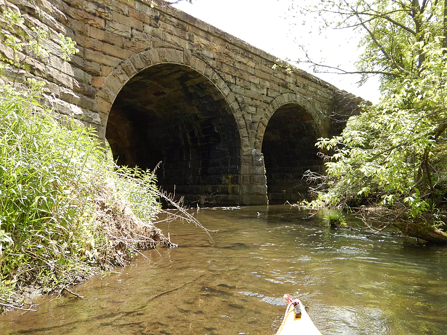
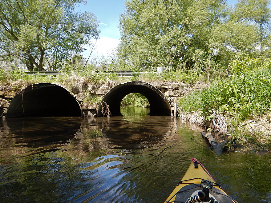
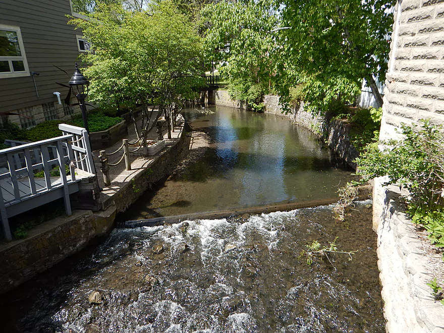
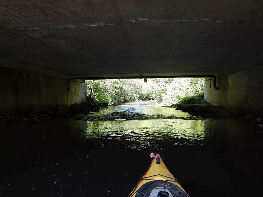
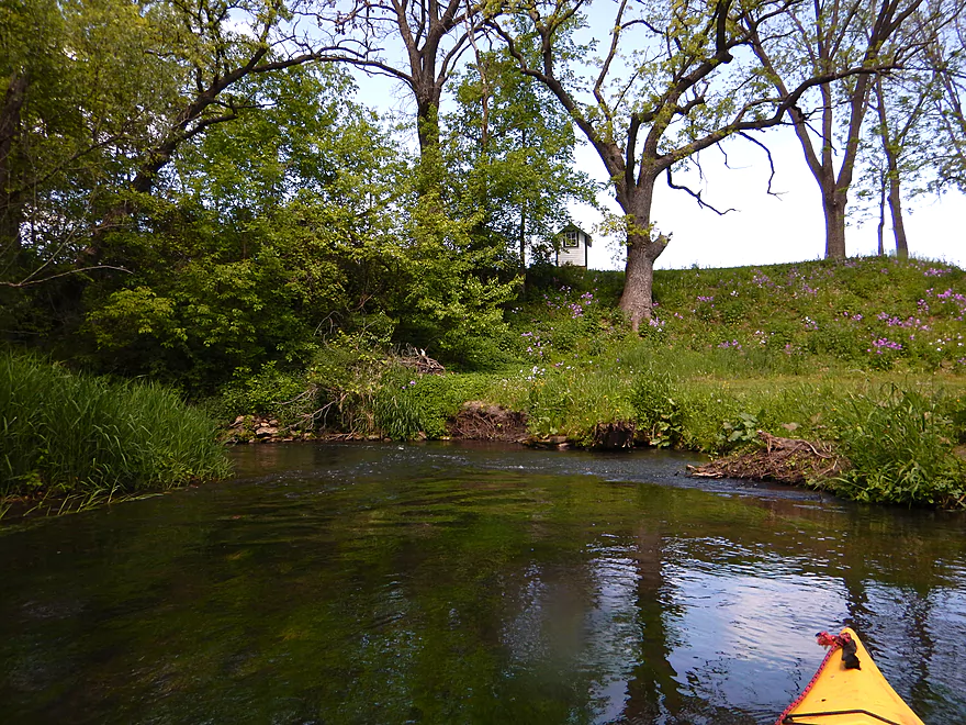
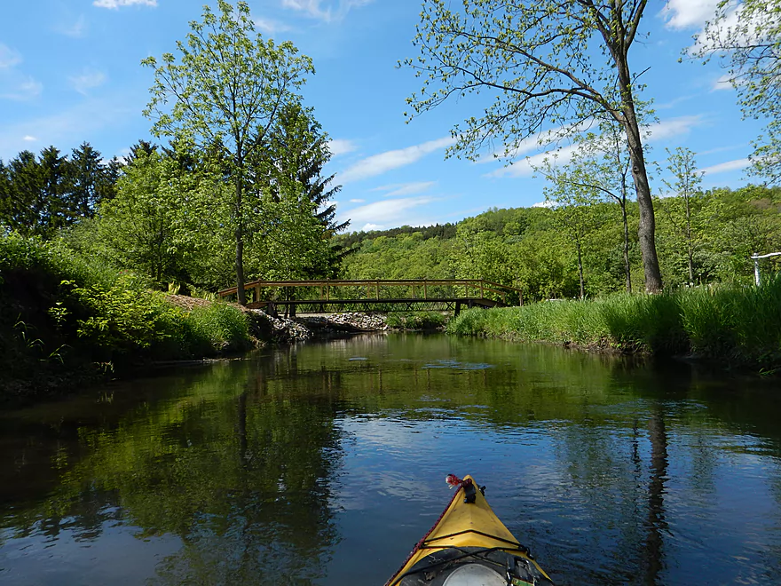
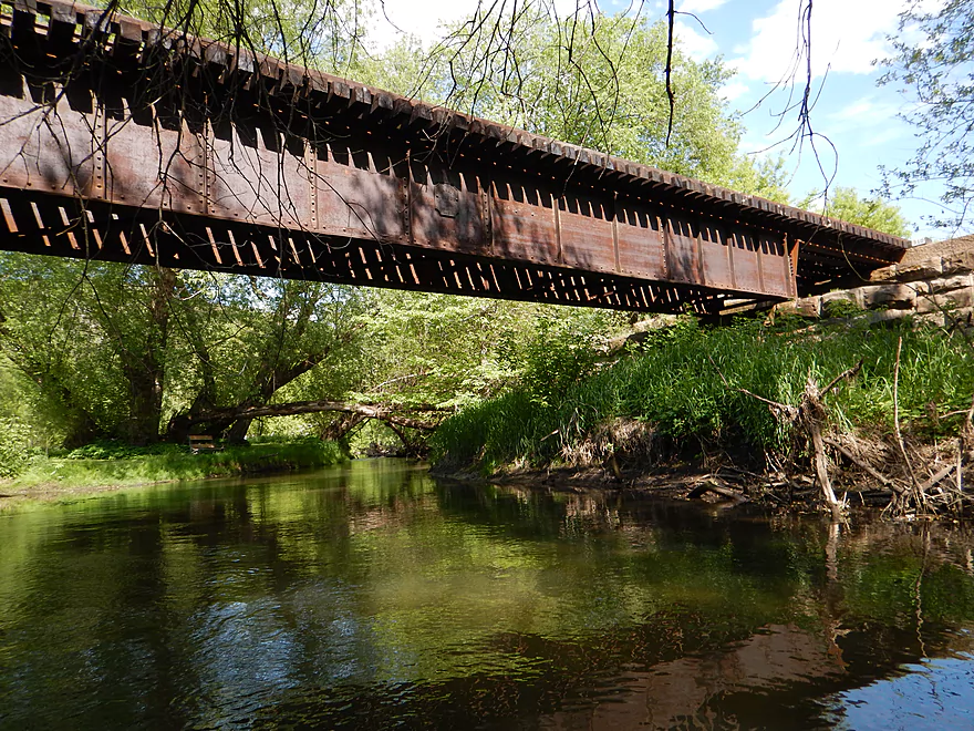
Stone railroad bridge constructed in 1888
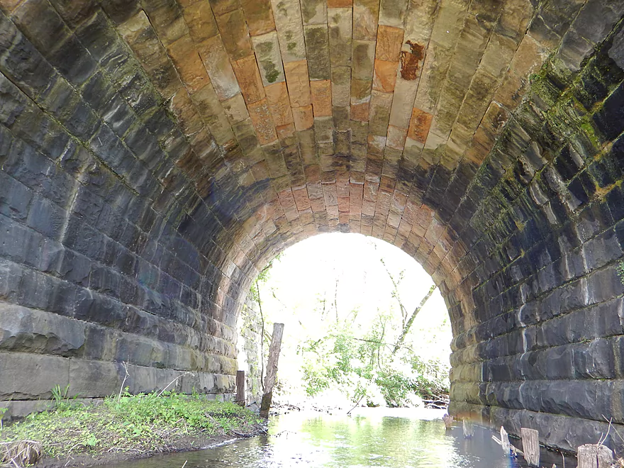
Cool water stains
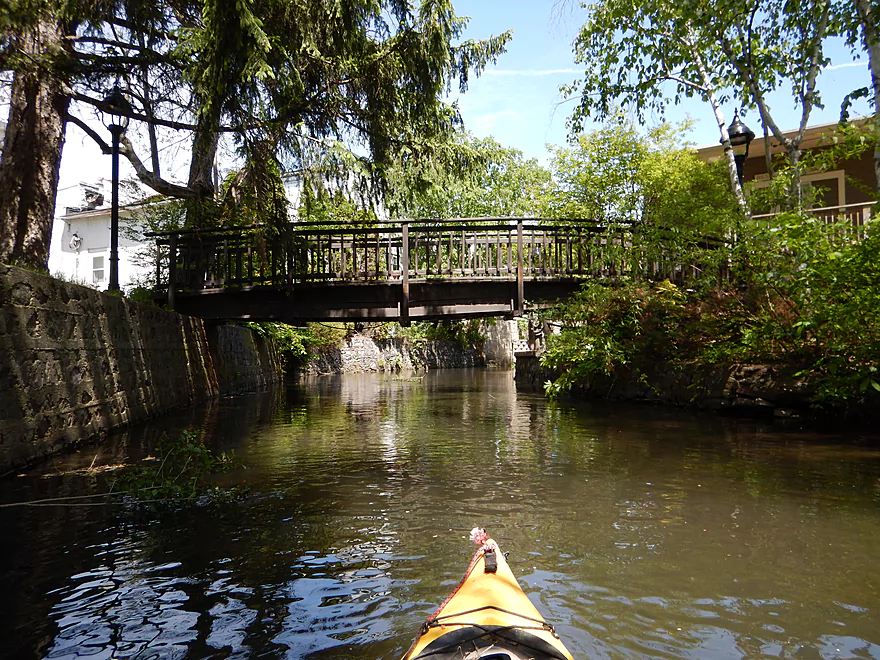
An absolute gorgeous railroad bridge
Log jam #8 of 20 (medium difficult)
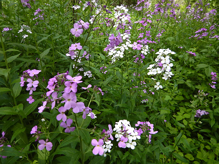
Dames rocket
Need to be careful where you step when portaging…
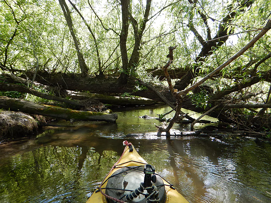
Log jams 9+ of 20 (very difficult)
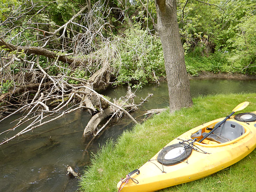
Had to climb up a steep bank and rope up the yak
Log jam #10 of 20 (easy hopper)
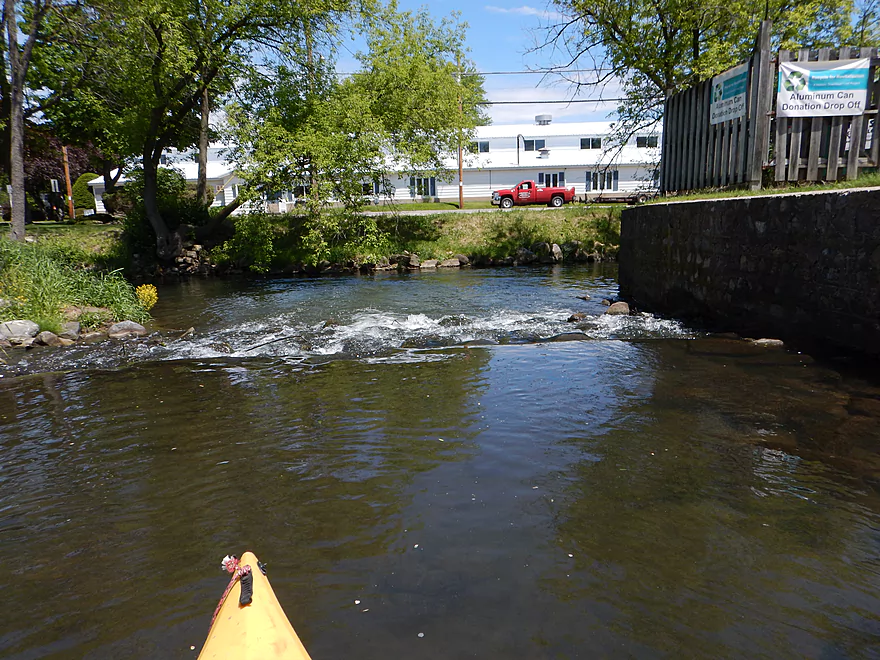
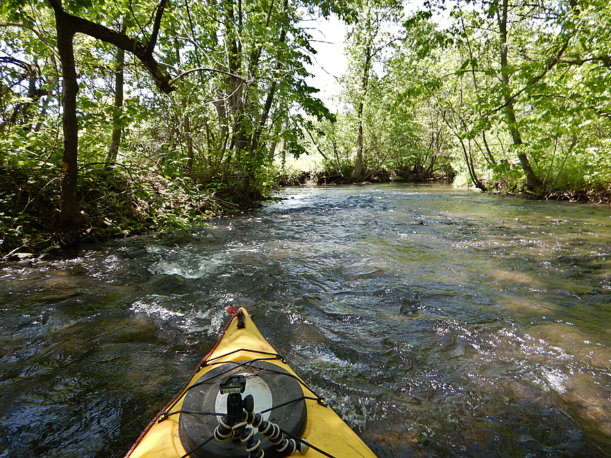
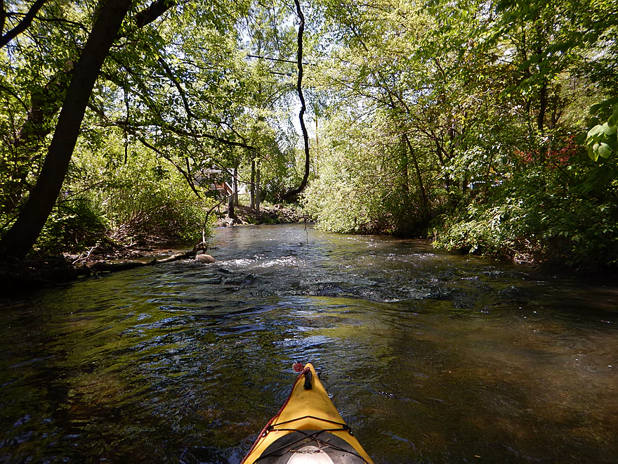
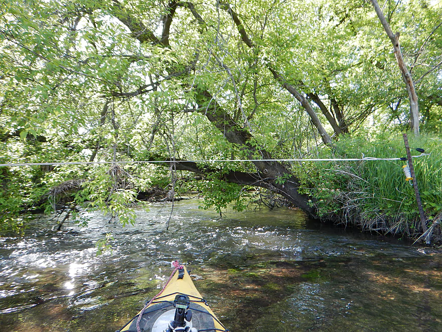
Many little rapids
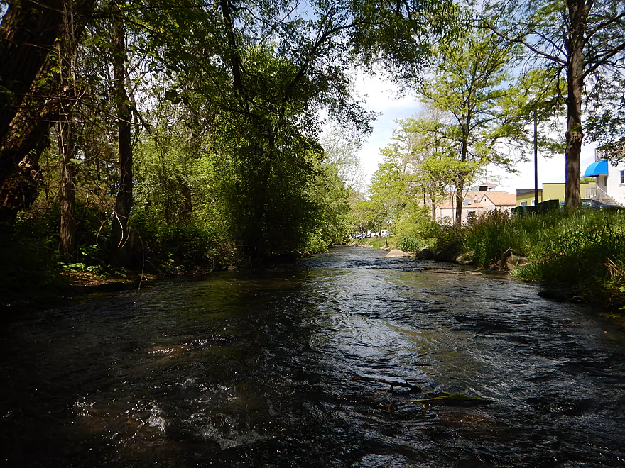
Put in at Pleasant Street instead to avoid jams! (upstream side)
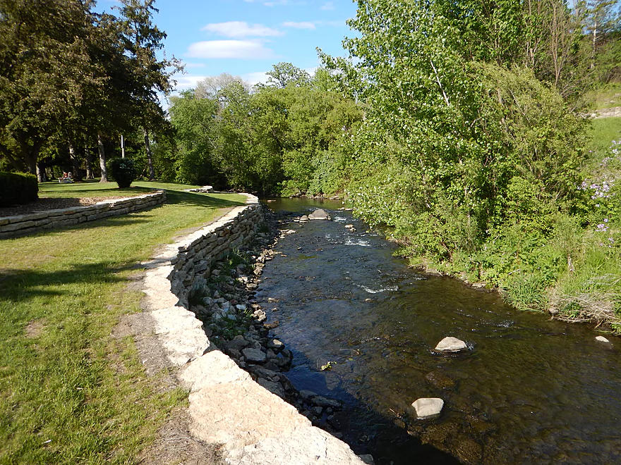
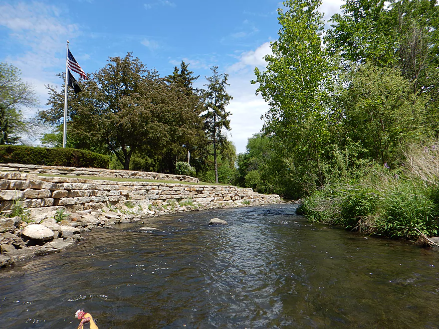
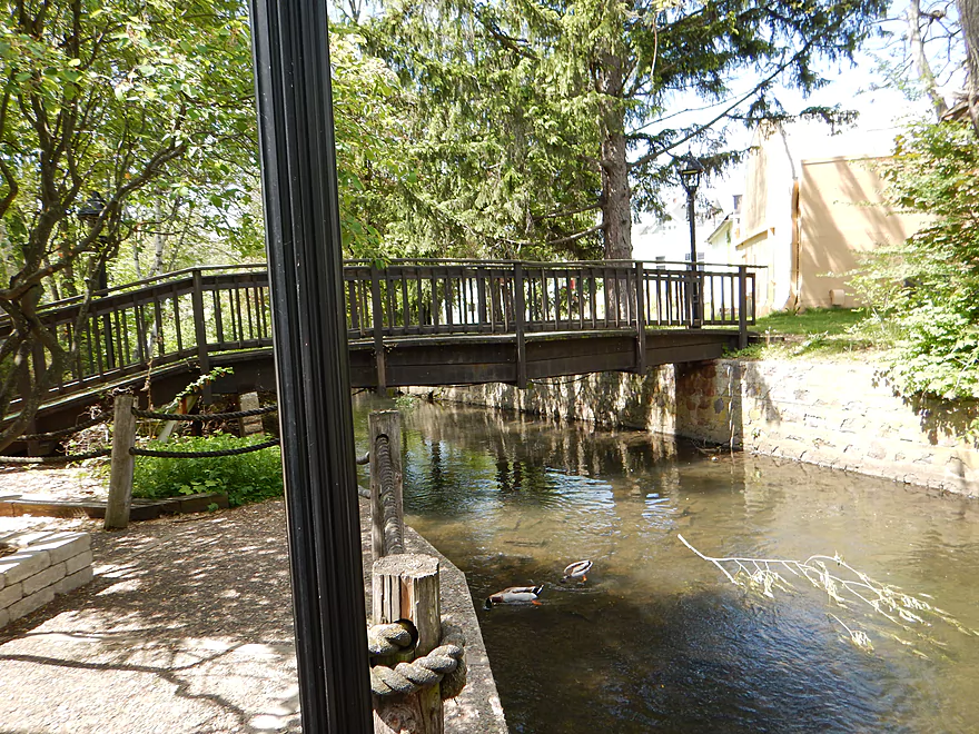
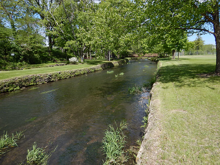
Veterans Park
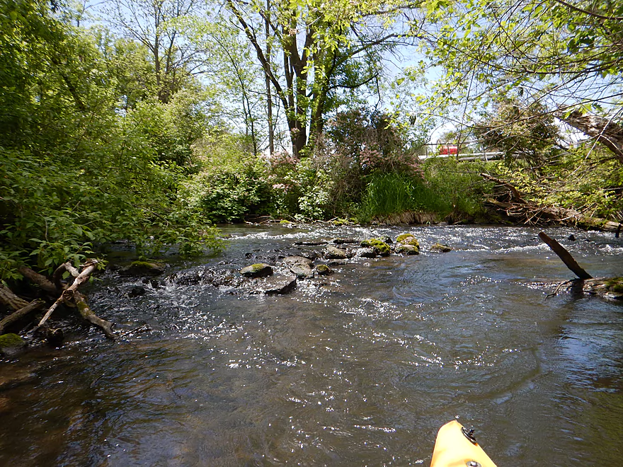
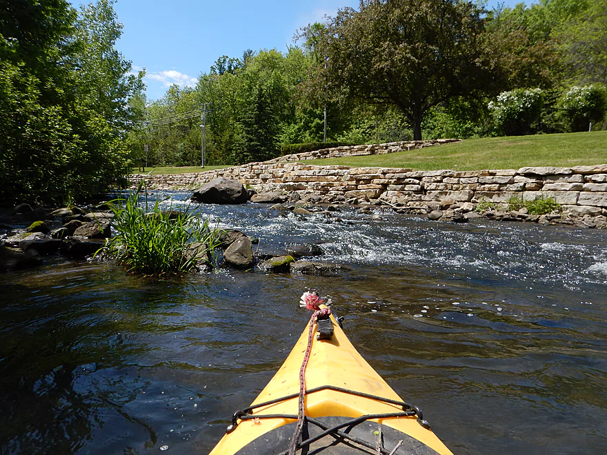
Fun little rapids
Kind of bumpy though
Would be more fun in higher water
Bump, bump, bump (in case you don’t watch the video)
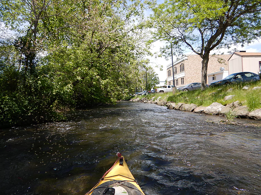
End of the park and start of downtown Lodi
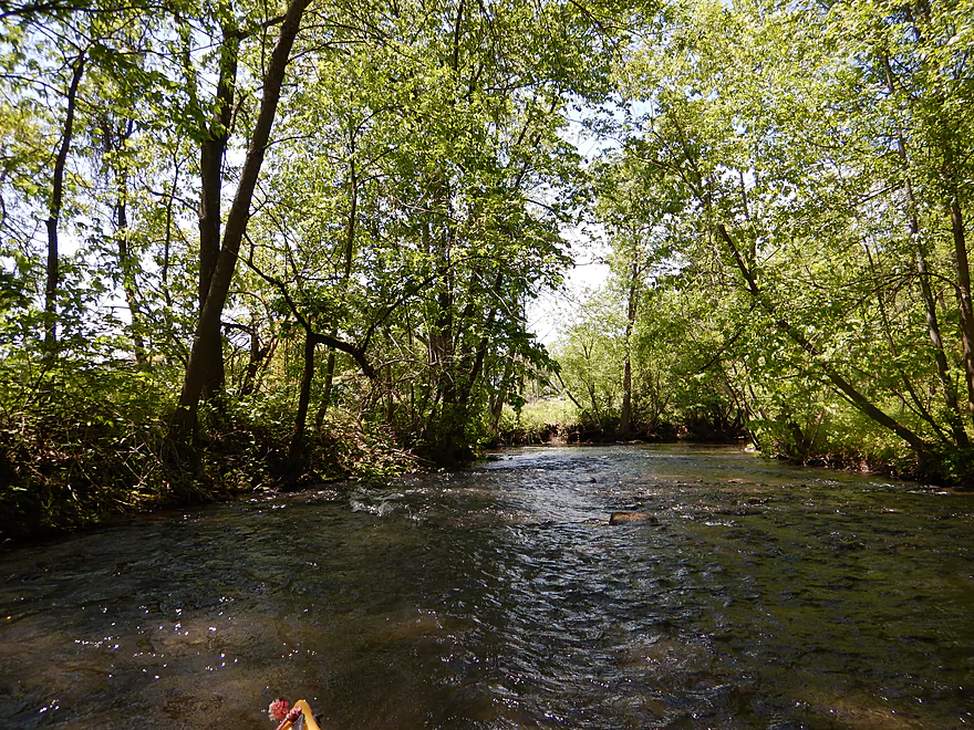
Almost solid riffles
Had to walk a few spots
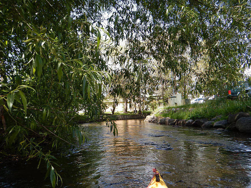
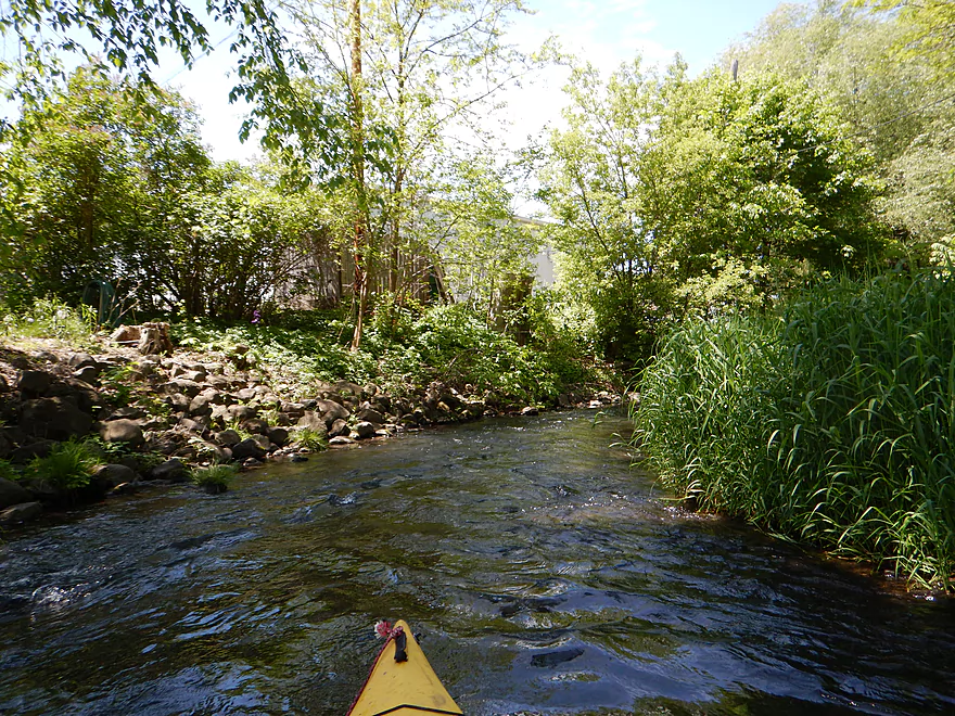
More attractive bank work
Susie’s relatives impudently demanding corn
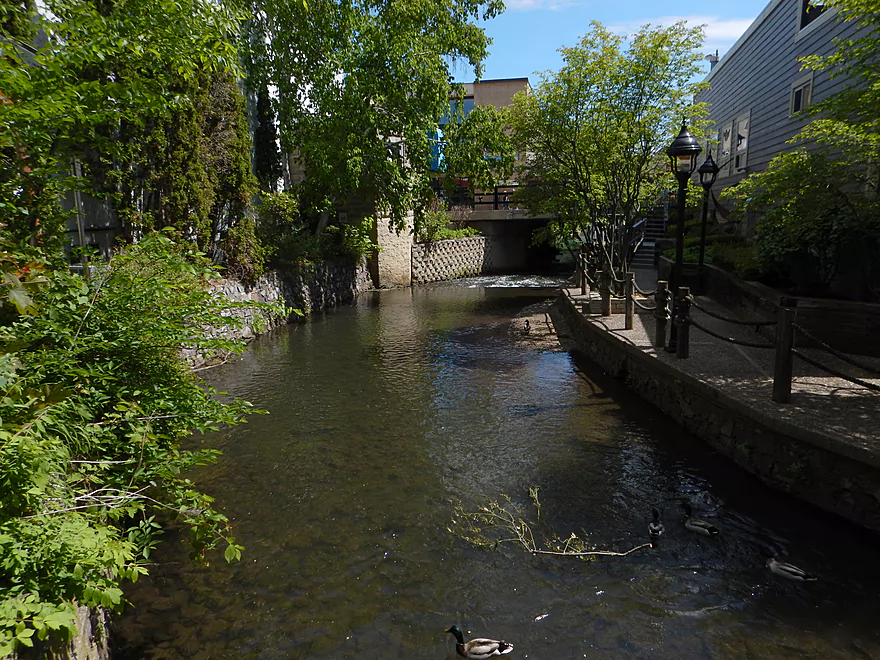
Approaching Susie’s lair
Fun little drop before Hwy 113
Just very boney
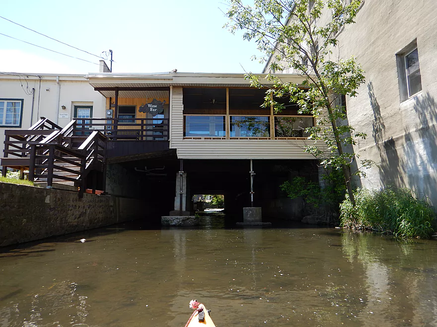
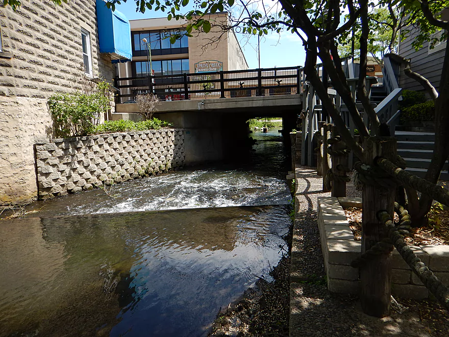
You get to paddle under a restaurant
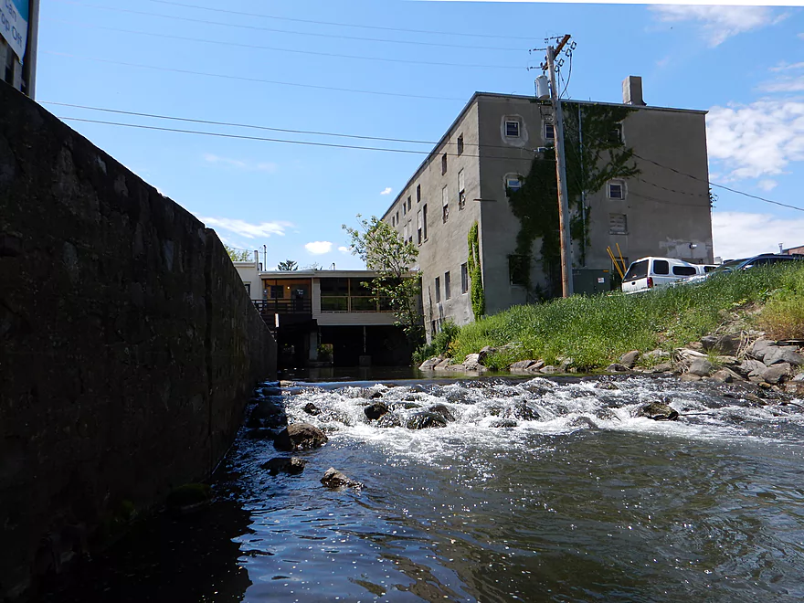
Another ledge
Also boney
Light rapids under Hwy 60
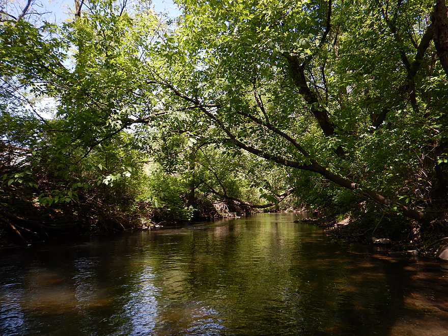
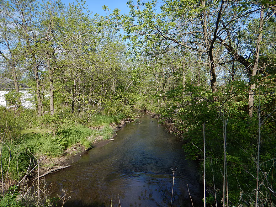
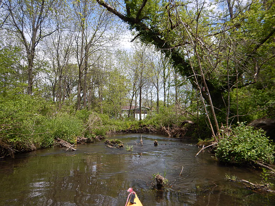
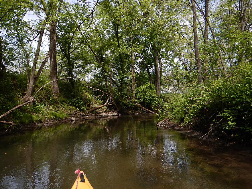
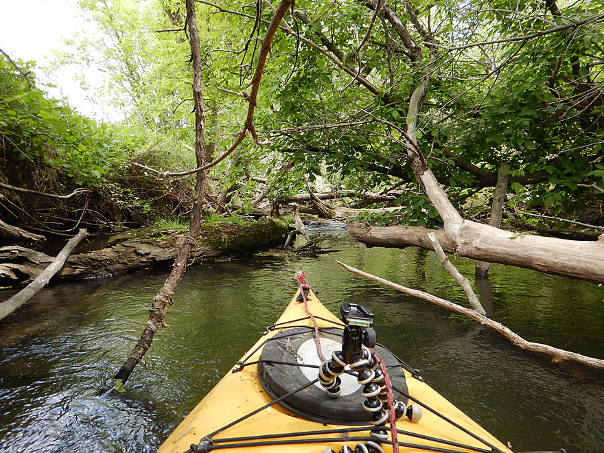
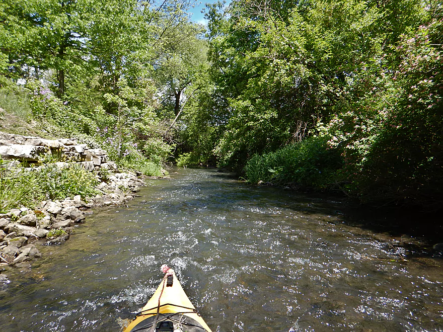
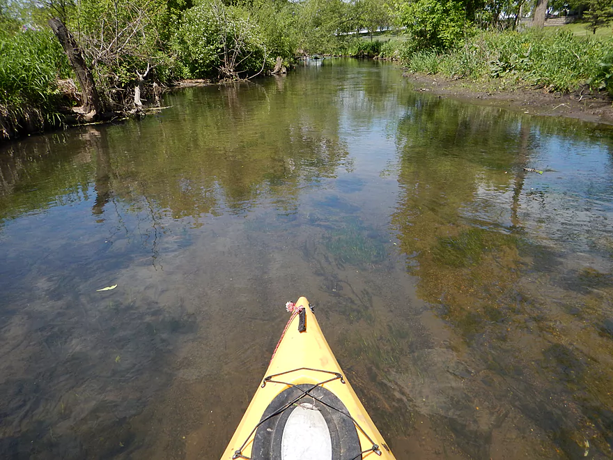
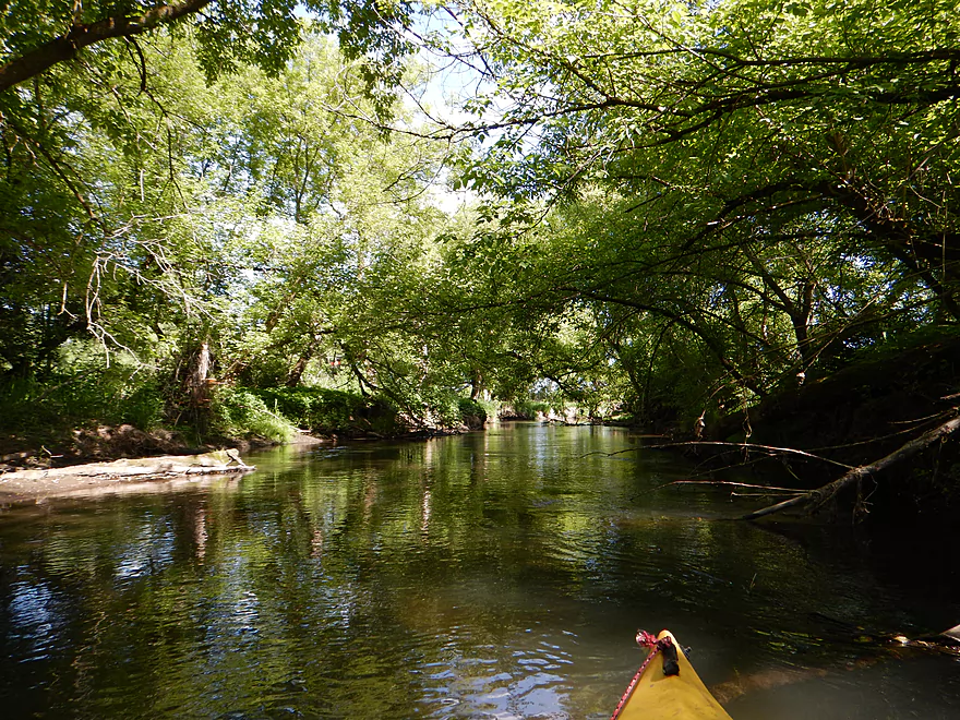
Entering a nice wooded section
Many cool riffles in the woods
Still shallow but much better than the downtown section
Approaching Fair Street and Goeres Park
Undoubtedly straightened many years ago
But very clean and nice
Attractive park by the creek
More good water quality
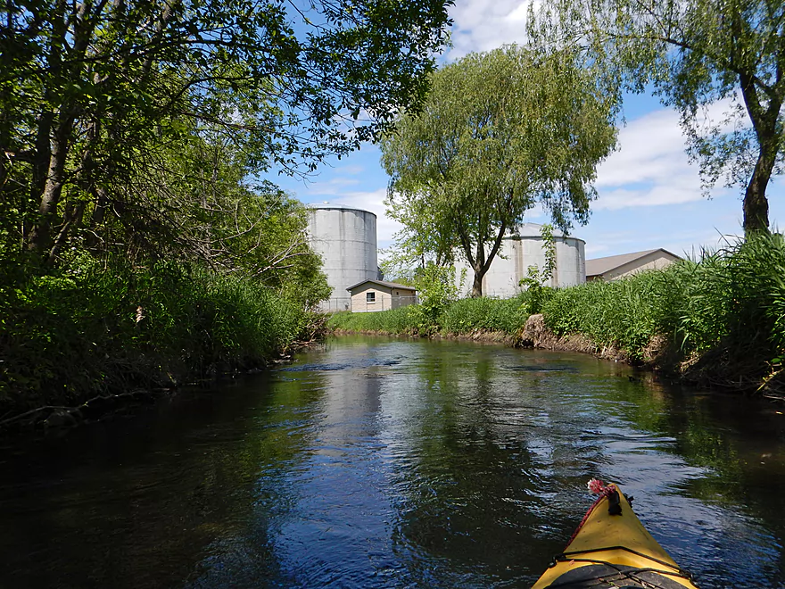
Those are not grain silos
Creek changes a bit after this point…
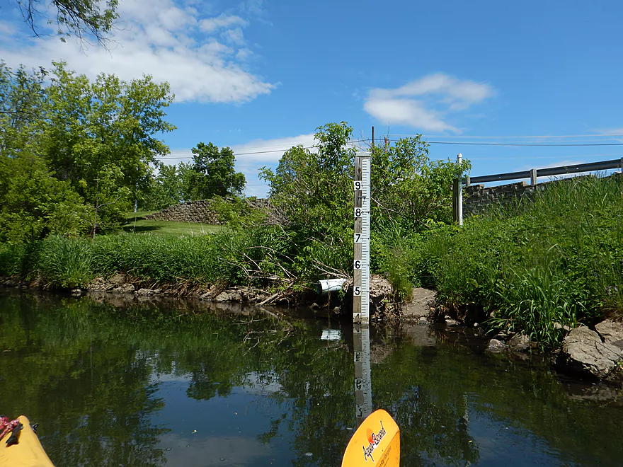
This is the official gauge (3.8 feet)
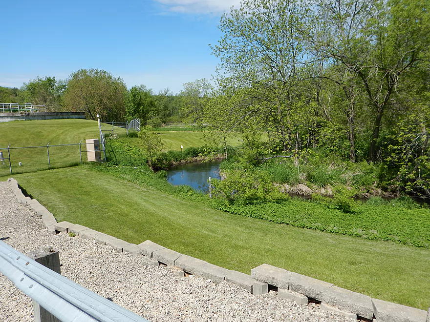
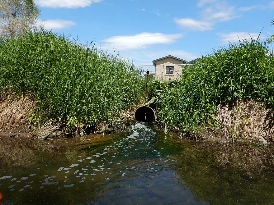
Sanitation plant is a suggested take-out (just poor parking)
Log jam #11 of 20 (easy)
Log jam #12 of 20 (easy and scenic)
Log jam #13 of 20 (easy hopper)
Log jam #14 of 20 (medium difficult)
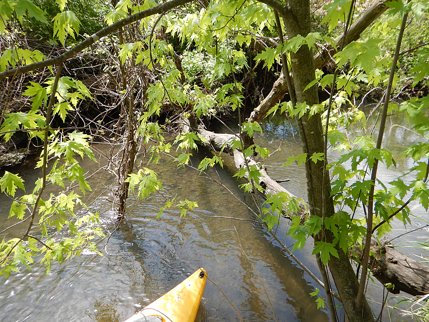
Aside from log jams, a nice section
Many more riffles
And many more clear sections
More attractive creekside wildflowers
Log jam #15 of 20 (difficult)
That is what you think it is
Still attractive
Log jam #16 of 20 (medium)
Log jam #17 of 20 (medium)
Public fishing access off Hwy J
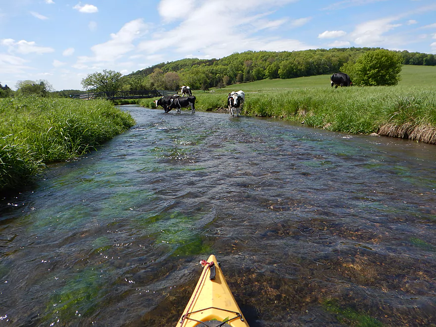
Infested with cows though
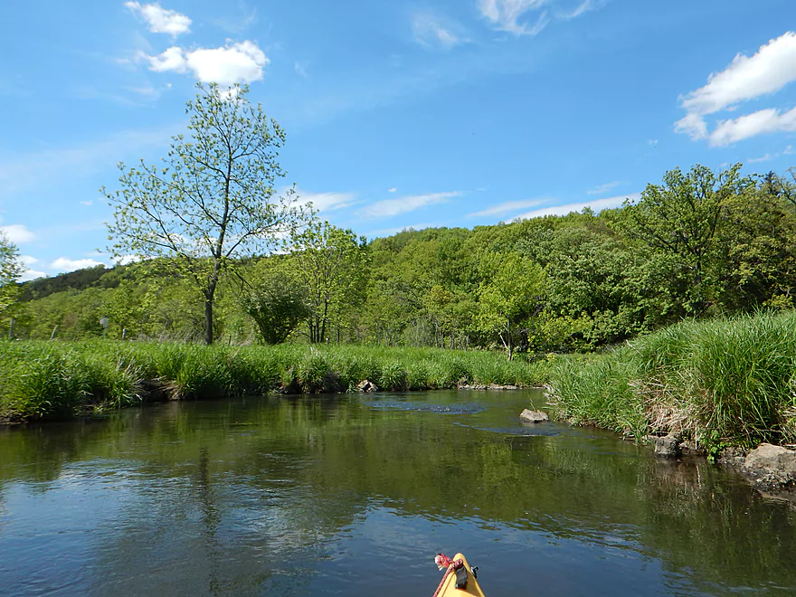
Next mile is a pleasant pasture paddle
Scenic hills in background
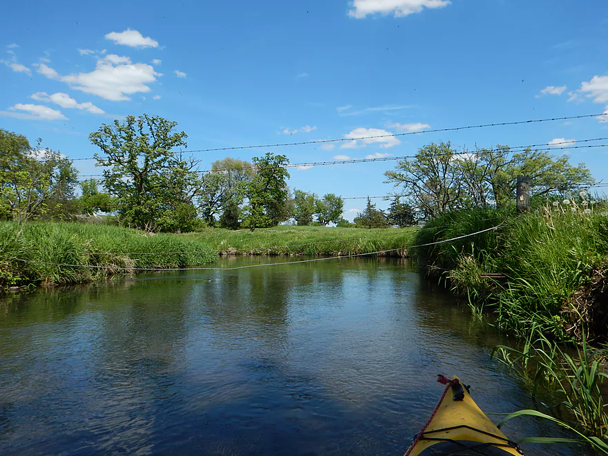
Barbed wire fence #1 of 5 (easy but messy)
Barbed wire fence #2 of 5 (ok to duck under…not sure if electric)
Fence #3 of 5 (tricky to duck under…did not test if electric)
Still many riffles (trout habitat work on left)
And clear spots
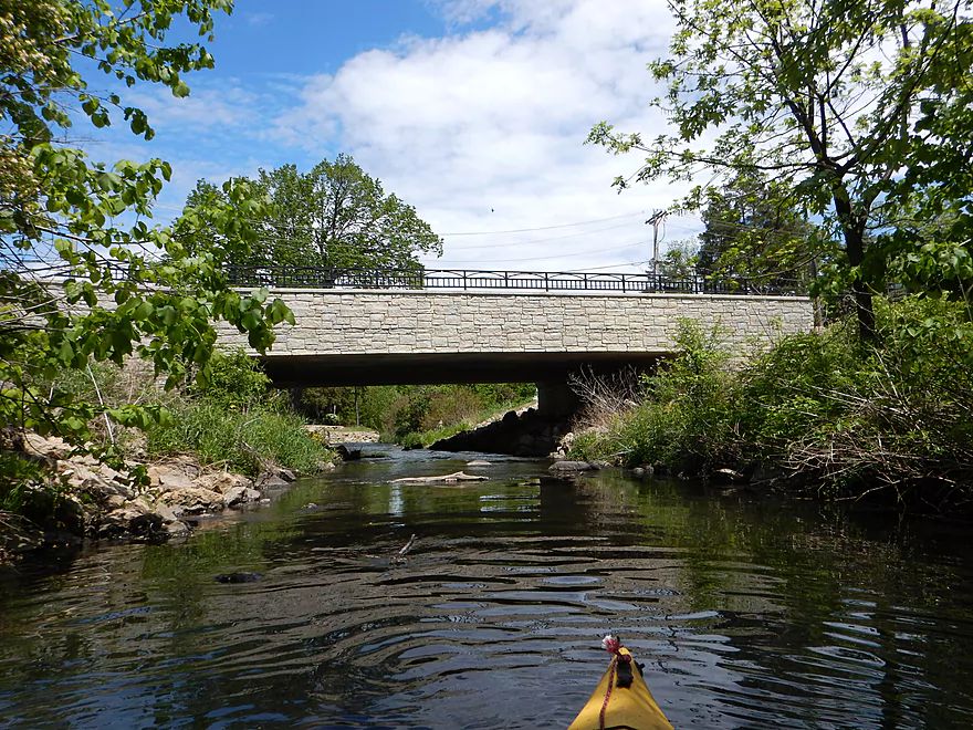
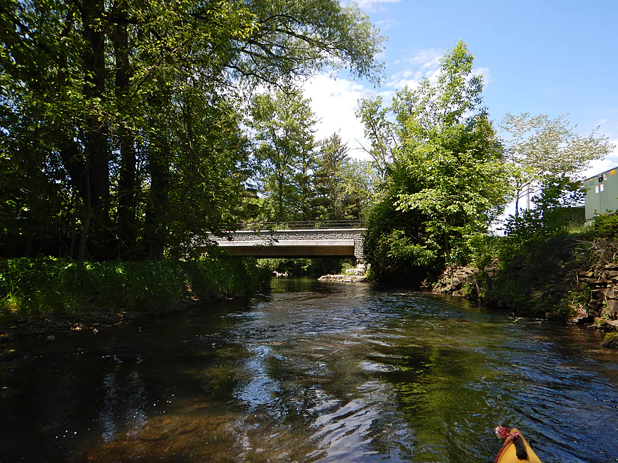
First Hwy 113 bridge
A hindsight take-out. Not easy and a long walk, but doable.
Last nice section before things get grim
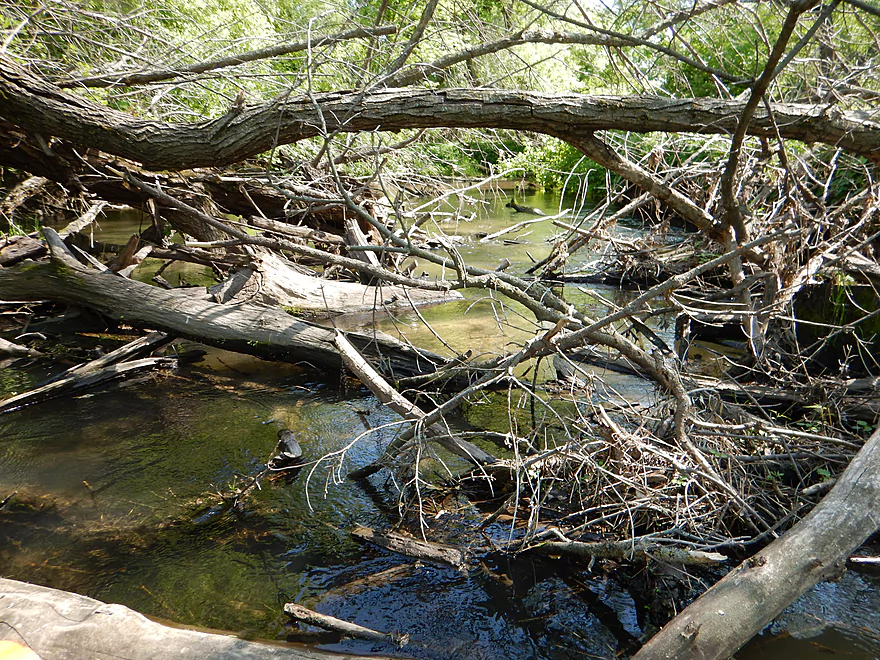
Log jam #18 of 20 (the worst)
A non-1888 cheapy railroad bridge
Very wooded section
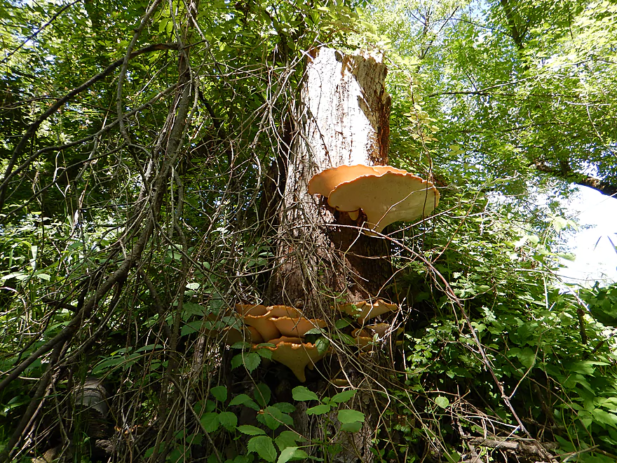
Fungi parents and children
Log jam #19 of 20 (easy)
Log jam #20 of 20 (medium)
Fence #4 of 5 (think this is electric and over rapids…tricky!)
Done with portages but still many squeaks
Where there are mud banks there are…
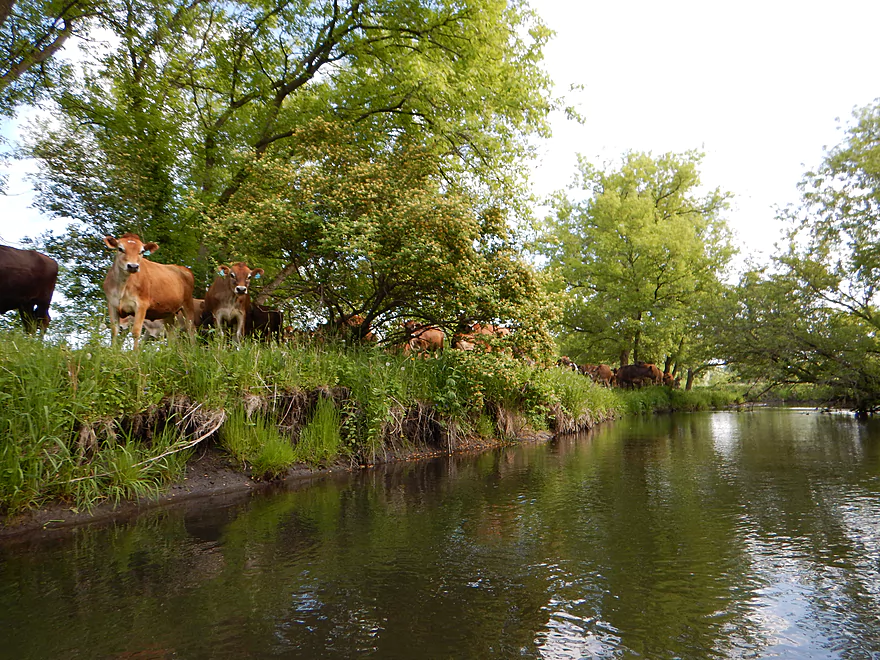
Where there are cows (who are following me), there are…
Fence #5 of 5 (easy to duck under)
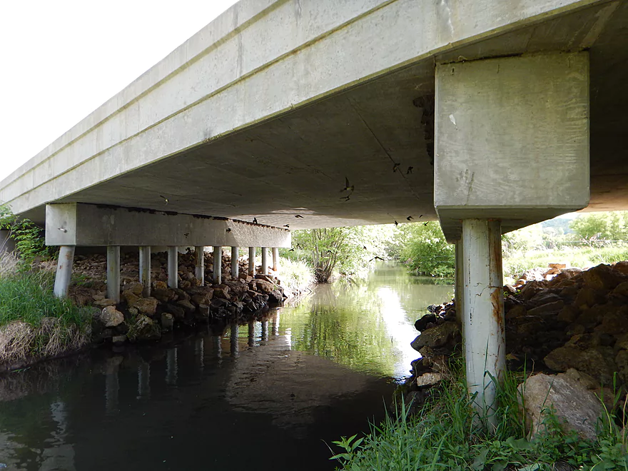
Irate cliff swallows under the second Hwy 113 bridge
Good take-out location
Spring Creek – Lodi

Imagine this trip like a double-decker oreo. Three tough sections sandwiching two really sweet sections. Let me lead you through the cookie analogy section by section here…
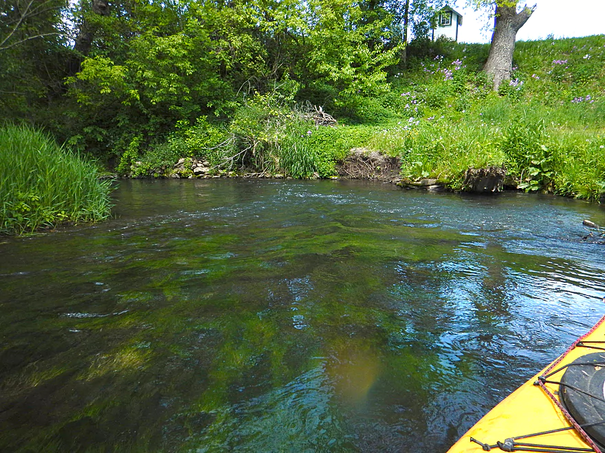
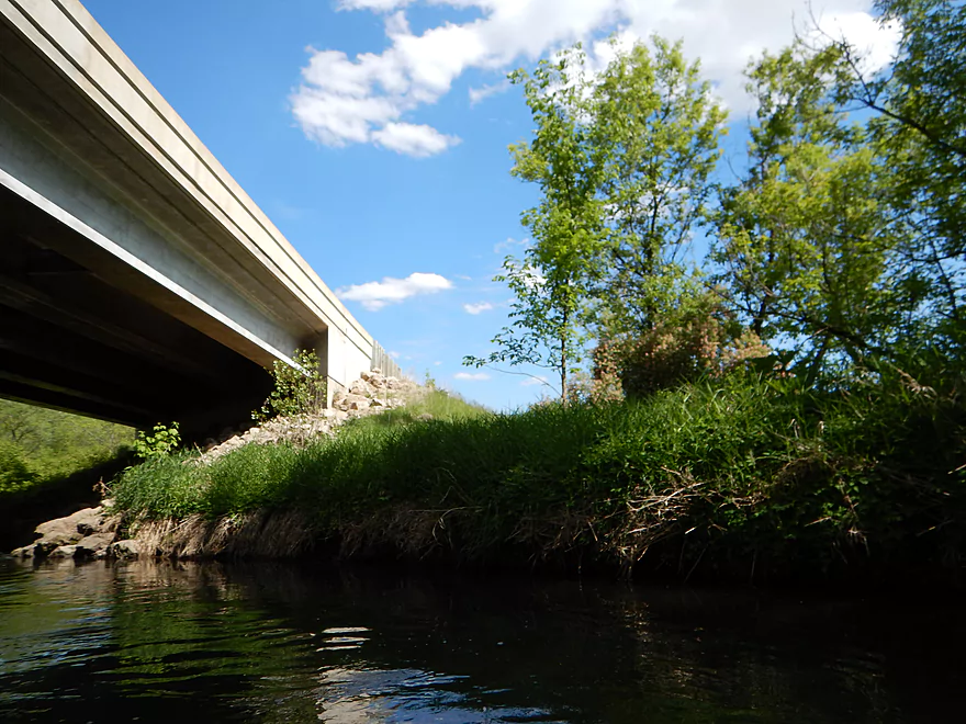
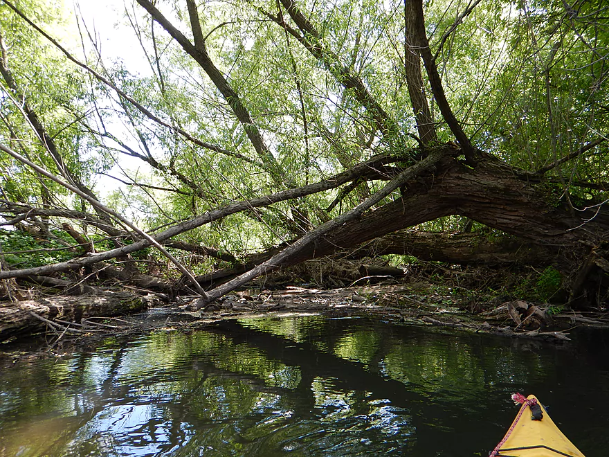
I put in at Riddle Road after giving up trying to launch from the electric substation. This segment (and this would be the tough cookie part) starts nice enough but in short order I was portaging right and left. Some easy. Many not with steep banks, dense brush and limbs. After 7 log jams, the portages became so bad I had to start leapfrogging them and had to do a significant portage over somebody’s lawn. Legal, but not a comfortable thing to do. After putting back in, I was rewarded for all my portages with the sight of one of the cooler railroad bridges I have ever seen. Magnificent craftsmanship with two massive stone arches towering over the stream. Made in 1888, I guess they don’t make them like they used to. After my 10th log jam (and a lengthy super-portage by the electric substation), I finally came to Pleasant Street and the start of the “urban paddle”.
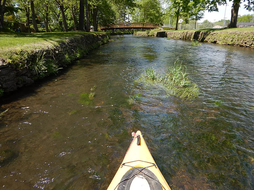
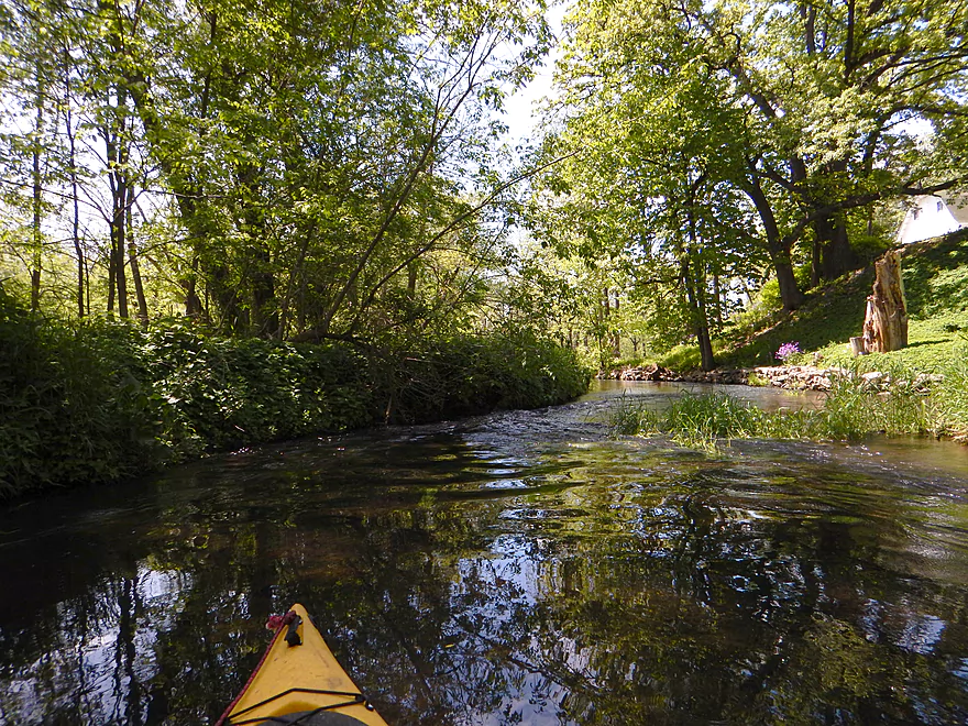
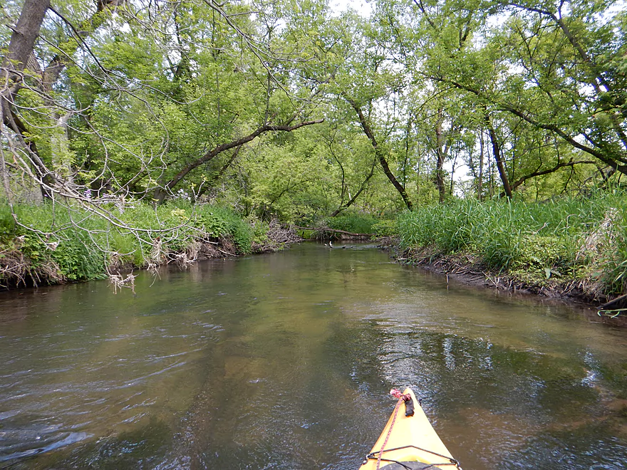
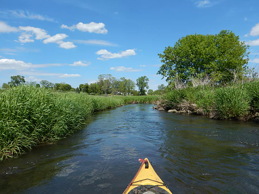
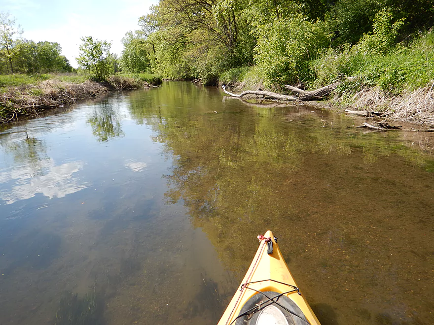
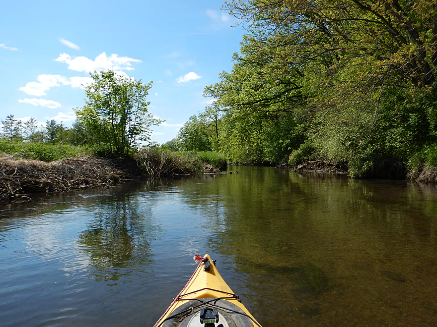
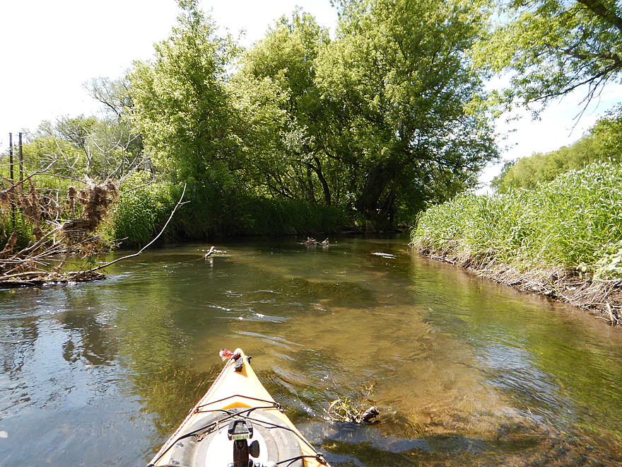
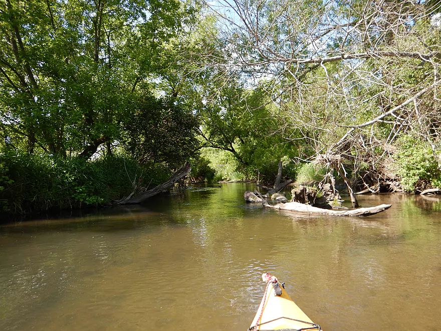
Now for segment #2 (the sweet part). From Pleasant Street to the sanitation plant, there wasn’t a single log jam! Not even any major squeakers as I recall. The cool thing about this stretch are the many fantastic little rapids and attractive scenery (both in the woods and in town). I do recommend this as a trip in and of itself (albeit it is short at 1.1 miles). Just put in at Pleasant Street (park on the southwest side and launch on the southeast side). This section starts with an attractive rocky section riffling through Veterans Memorial Park flanked by tasteful riprap. Riffles will continue on and off until you get close to Susie’s lair. Here there is a small drop before Hwy 113 (easy) and then immediately after paddling under this (and a local restaurant), you’ll come across the most serious drop of the trip. I bumped my way down safely enough, but this could be rough in high water. Easy to scout first before launching though. Trip continues with a pleasant riffle section through the woods before riffling through Goeres Park (very nice). You then wrap around the treatment plant and here there is an access road that is easy to use as a launch (no immediate parking but I think you can park on the shoulder by Fair Street).
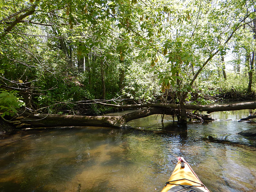
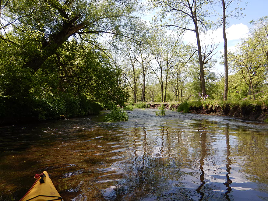
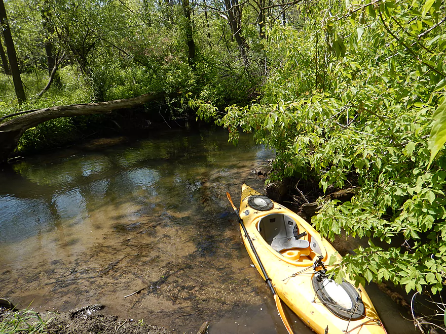
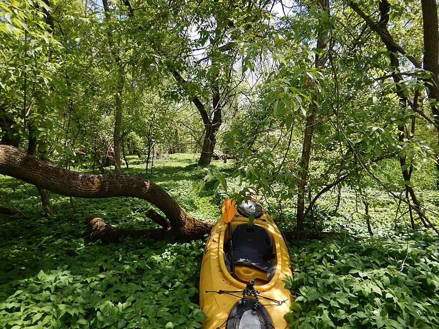
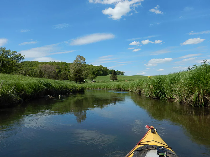
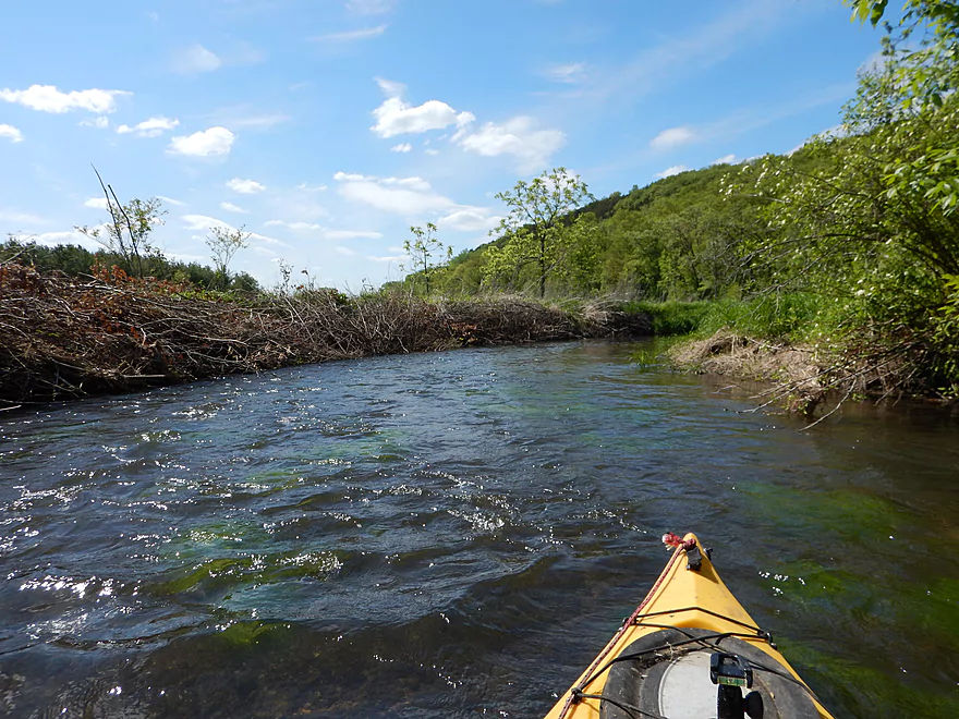
Now for segment #3 (the tough non-sweet part). Don’t get me wrong, of the three tough parts, this is the best and most worth doing. But it does have a number of jams (7 I had to portage). Otherwise it is an amazing paddle. More riffles and great clear water, all while getting to paddle through a lush canopy (it’s almost all wooded). Really an enjoyable section outside of the jams.
From Hwy J to Hwy 113 will be segment #4 (sweet part). The creek loses its woods and turns into a pasture paddle, but it is attractive with a nice view of the hills to the north. There are a couple of fences to dodge as well as cows. The fences might be electric…am not sure. I thought they were easy to get under at my water level but be careful.
Last segment (#5) is a really tough section. Had been warned about this from multiple sources…and on top of this from local campers under Hwy 113 (who also happened to be kayaking on the creek). Ideally you would take out here (and not the second Hwy 113 bridge), but this would not be easy. Perhaps you could launch on the southeast side, but it would take some dragging to get past the guardrails. Probably worth it though. This last stretch only had 3 major jams, but they were not easy portages. Plus there were many tough hoppers/duckers/zigzaggers that I’m not even counting. At least section 3 was scenic…section 5 was not, and had a weaker vibe to it (messy, muddy, lot of dead wood and a cow fence…likely electric, which was not fun to duck under in fast water).
Hwy 113 (the second bridge) is an ok take-out spot with great parking. You can continue on (which I did a couple of years ago) to the Wisconsin River, which is a section I really like (keeping up with Spring Creek’s on/off character). There were a few log jams though…some serious, so be vigilant if you go to the mouth. Was warned by some fishermen last year that this had gotten worse…tough to know without paddling this myself.
So what do I recommend?
Well don’t do Riddle Road to Pleasant Street (unless you want to see the historic railroad bridge). Highly recommend Pleasant Street to the Sanitation Plant (a four star subtrip)…just make sure you have enough water…but not too much water, as this could be a raging whitewater run. I like the sanitation plant to J, but only run it if you’re comfortable doing 7 log jams. Great take-out at J. From J to Hwy 113 is a great section but a tough take-out. From Hwy 113 (first bridge) to Hwy 113 (second bridge) is not interesting and not too fun…but might be required if you want to use the better take-out or run the last section to the river. I really liked Hwy 113 (second bridge) to the mouth, but the jams here might be serious and not for everyone.
Good bridge access at Riddle Road with shoulder parking available.
Also good access and parking at a public fishing pull-off from Hwy 113 (last bridge before the Wisconsin River).
Bike shuttle is just 3 miles, but about half of this is on a very busy Hwy 113. The town half isn’t too bad in contrast.
Mostly not bad, but many of the rocky sections and rapids were pretty bumpy. The local gauge read 3.9′ but flood stage is just 5.5′, so I’m not sure what a good compromise is. Maybe 4.5′? Really most of the creek could be run at 3.9′, but the in-town section from Pleasant Street to the sanitation plant really needs more than that.
Current was pretty good, with many riffles and minor rapids throughout the creek.
Good water quality with some nice clear spots. Some sand, but mostly mud bottom. Many nice rocky sections throughout the creek (mostly in downtown Lodi).
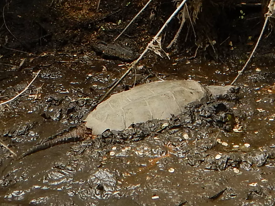
Huge snapping turtle, swimming raccoon, water snake, blooming flowers, some fish, cows, deer and of course ducks! Now…most ducks that see you bolt at first sight. Not Lodi ducks. They approach you impudently demanding their corn with loud quacks. Susie’s home is just by the S. Main Street bridge and you’ll see an oversized basket where ‘she’ (more likely her descendants) like to nest.
From Hwy J to the second 113 bridge, cows have direct access to the creek. They do absolutely hurt water quality and this is a shame. The numerous cow fences (only after Hwy J) are not convenient for paddlers (and probably illegal). Some are no doubt electric so be careful, especially at high water levels.
Lastly and most importantly, here is some background information about Susie:
- Wikipedia article on her origin and fame
- Susie the Duck festival (warning features images of the mascot)
- The duck drop and race (if the author knew about the snapping turtles, he wouldn’t be complaining about crayfish)
Detailed Overview
- Upstream of Lee Road: There really isn't much to paddle (the creek starts as a natural spring).
- Lee Road to Hwy Y Side Channel: 1.4 miles. A nightmare tangle of logjams. Not recommended (reviewed May 2014).
- Hwy Y Side Channel to Riddle Road: 6.6 miles. Scenic wetland paddle with multiple natural springs, but probably 5 logjams (reviewed May 2014).
- Riddle Road to Pleasant Street: 0.7 miles. A frustrating wooded section because of 10 logjams (reviewed May 2015).
- Pleasant Street to Fair Street/Sanitation Plant: 1.1 miles. Very scenic part through downtown Lodi with some fun rapids and no logjams (reviewed May 2015).
- Sanitation Plant to Hwy J: 1.1 miles. Attractive paddle, but ~7 logjams (reviewed May 2015).
- Hwy J to Hwy 1131st: 1.0 miles. More of an open grassland paddle with no logjams but a few low fences (reviewed May 2015).
- Hwy 1131st to Hwy 1132nd: 1.3 miles. A frustratingly muddy section with many downed tree and three major logjams (reviewed May 2015).
- Hwy 1132nd to Hwy K Landing: 2.1 miles. Surpsingly nice and attractive wooded section but there will be a serious logjam or two to deal with. Trips ends on Okee Bay (reviewed May 2013).
Trip Map
Overview Map
Video
Photos Size:
This is a very accurate review. Thanks for all the takeout detail. I did sections 2, 3, and a bit of 4. There’s really not good parking by the first Hwy 113 bridge either. The third cow fence I almost got stuck up against – thanks for the warning.
Thanks for the feedback! Hope you enjoyed the trip. Despite all its challenges, Spring Creek IMO is a very cool water trail.
I just ran the rapids in section 2 at 5.5 feet after a rain and pulled out after the sanitation plant. 5.5 feet is amazing for waves and dips — very little scraping, nice speed. I ran it twice (it only takes 15 minutes) and next time I think I will take someone to ferry me back to the start and do it several times. There were a couple fallen trees to steer around. I was not quite worried about being pinned on them as strainers, but a bit faster and I would have been.
I took out so early because I was worried about getting swept against those cow fences, but in hindsight it wasn’t that fast. However, there are a ton of deadfalls everywhere I’ve been recently and I didn’t want to deal.
Appreciate the information as my depth of 3.8′ was too bumpy for rapids. Sounded like a lot of fun!
Logjam Update: Significant work has been done to clear logjams off of Spring Creek from Veterans Park to the Bay. As of 2023-05-10, Spring Creek should be clear (but shallow) from Veterans park to the Sanitation Plant. I’ve heard there are still logjams between the Sanitation Plant and the Bay (figure three portages). Lyft Lodi has an annual cleanup every May if you want to chip in on the cleanup efforts. If you the reader knows more about the logjam situation on Spring Creek, please leave a comment below.
A new kayak rental place has opened up in Lodi: https://www.peacefulvalleylodi.com/