
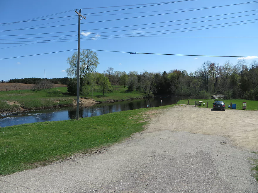
Putting in at Red River Park
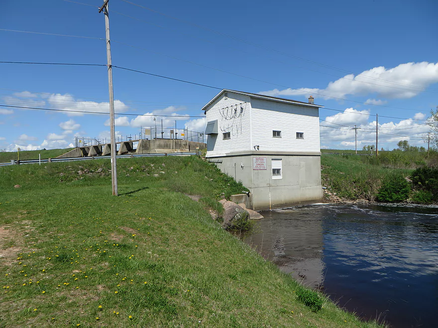
Just below the dam
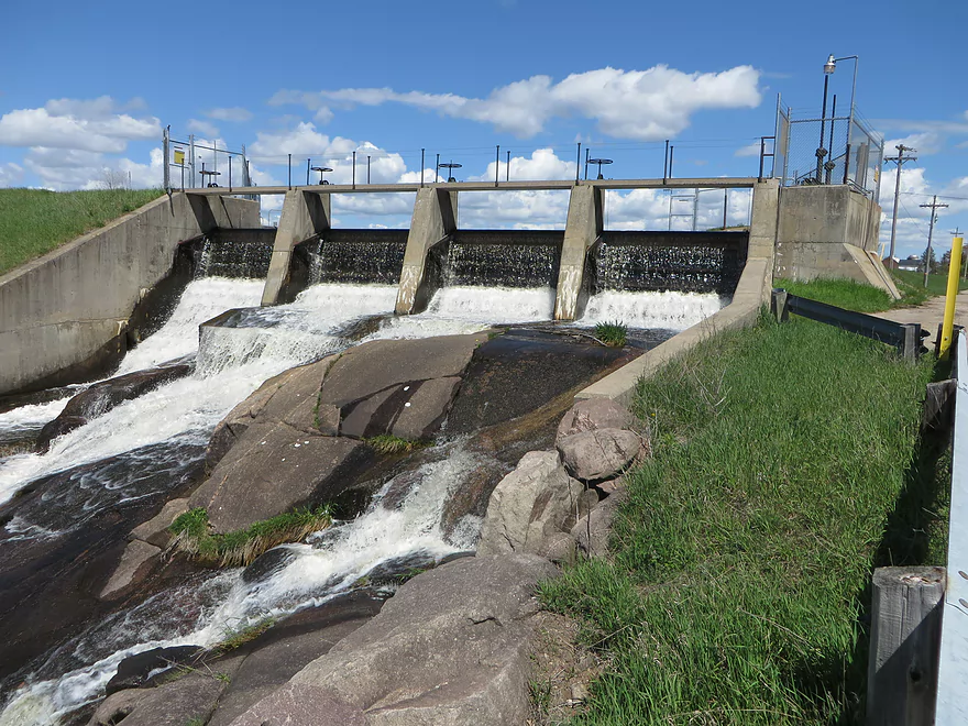
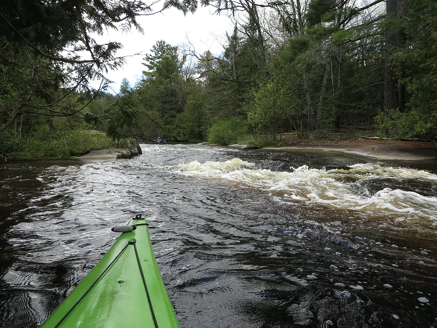
First major ledge

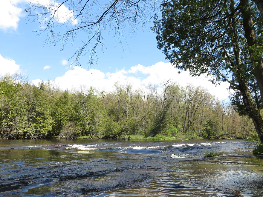
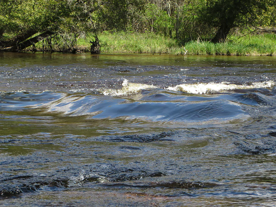
Some decent-sized standing waves
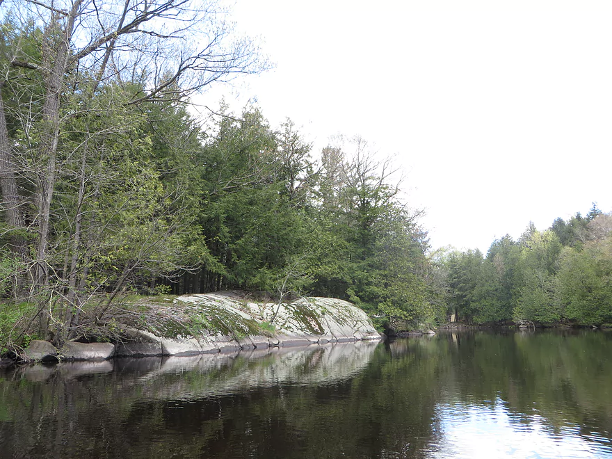
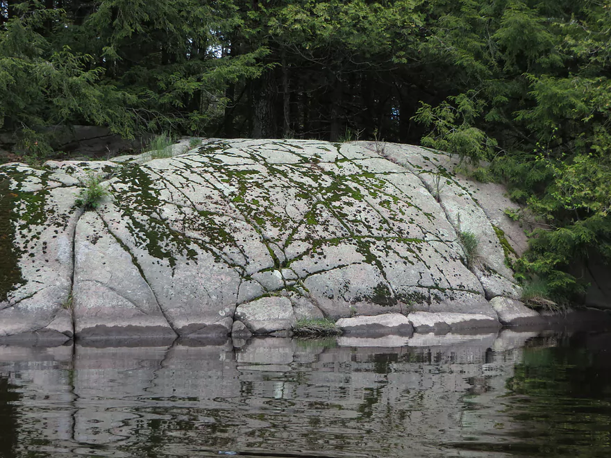
Rounded granite boulders characteristic of the area
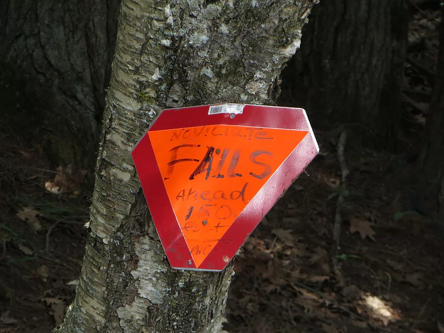
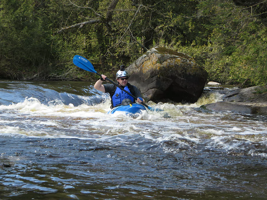
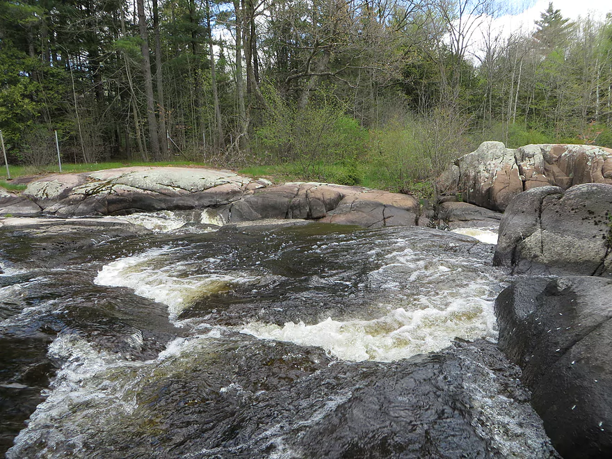
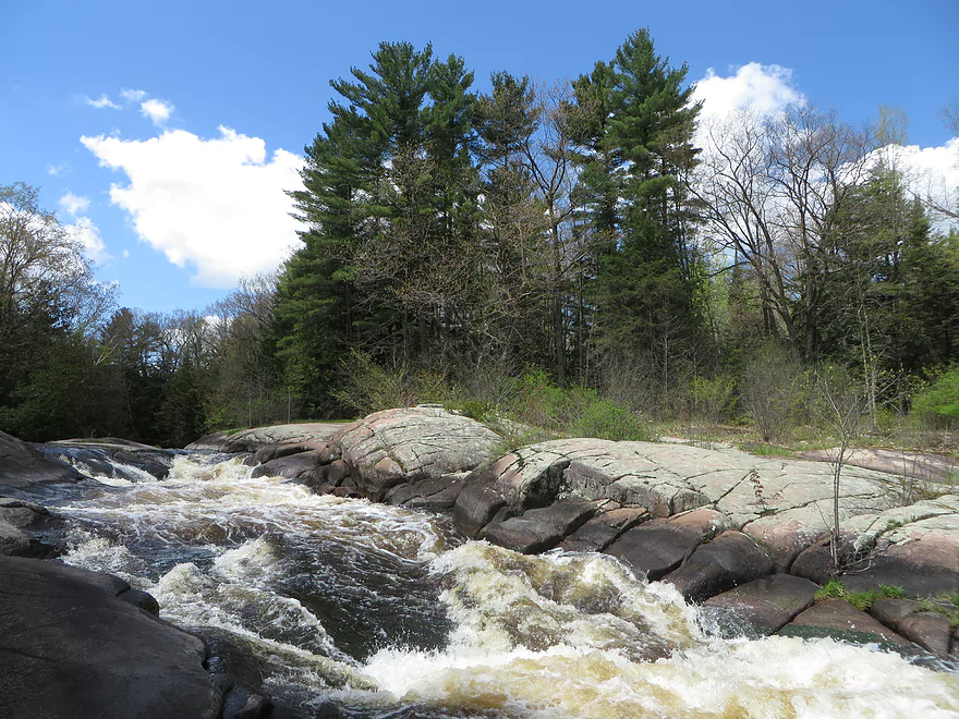
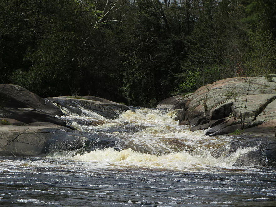
Novitiate Falls
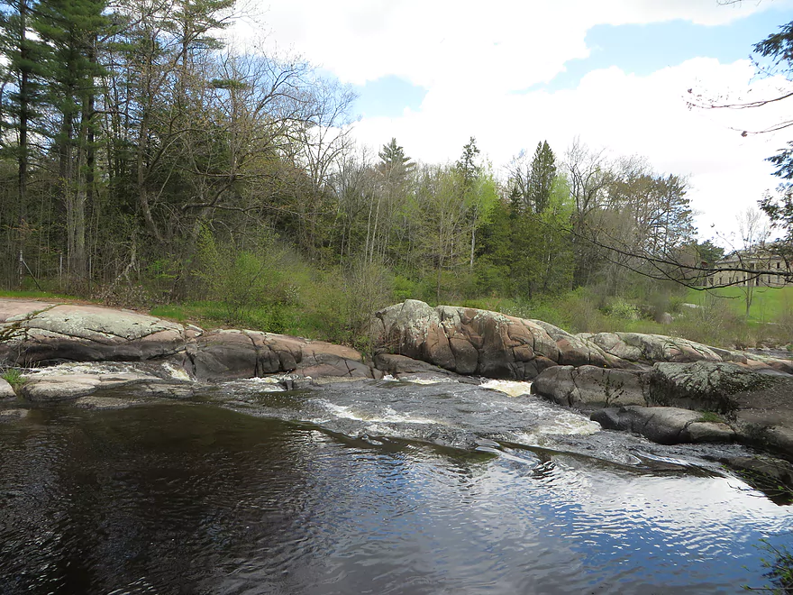
Aka Monastery Falls
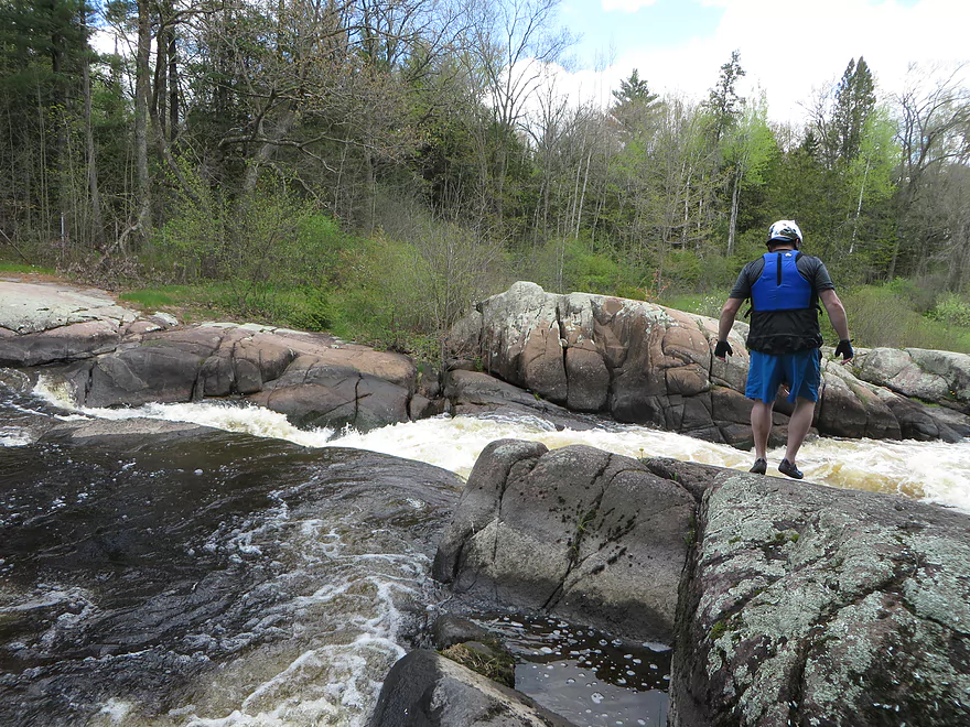
Scouting is very much recommended
Not a bad portage
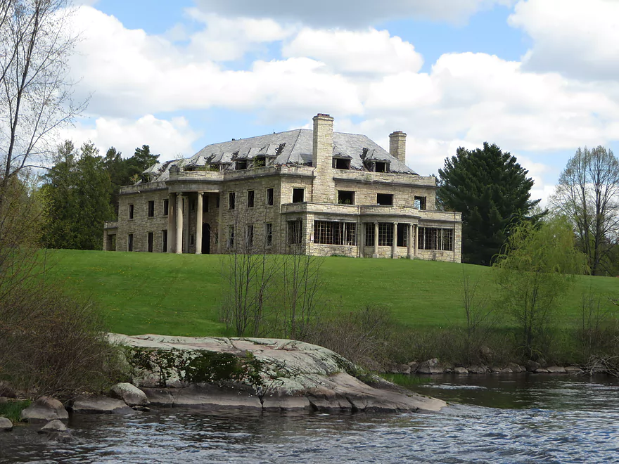
The famous monastery (long abandoned)
Reverse view
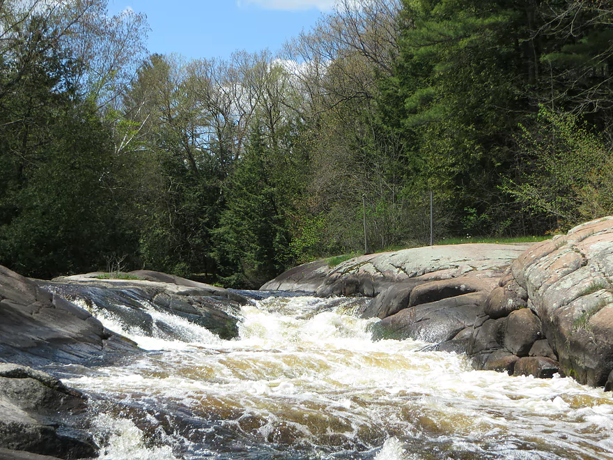
It is a significant drop
Somebody lost a boot doing it
Another set of rapids (taken from phone so not in sequence)
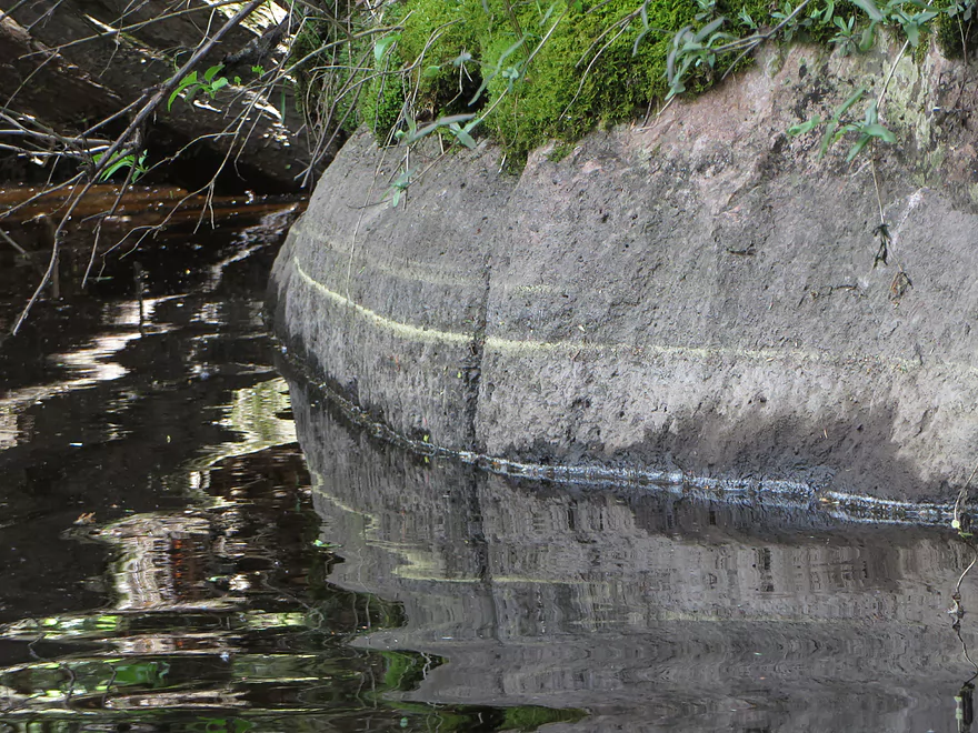
High water mark
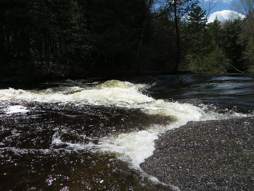
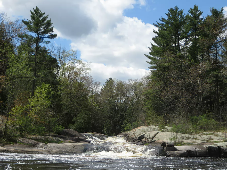
Decent rapids at the take-out (easy to portage)
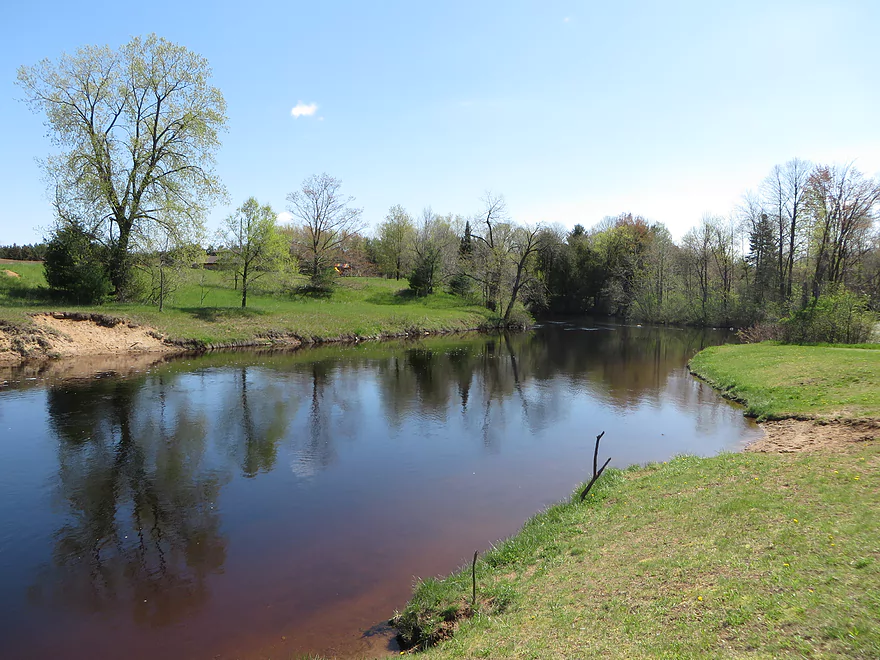
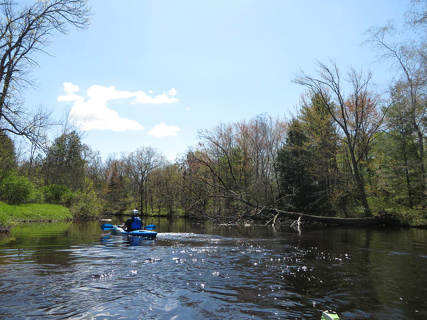
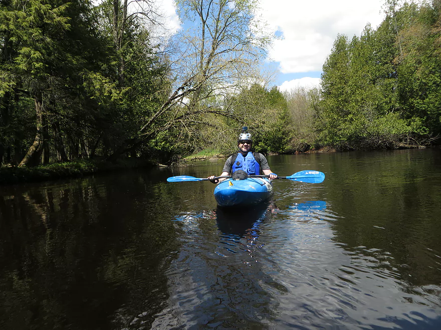
Red River

Excellent water quality, abundant wildlife, and a lack of development all combined to make a very enjoyable trip.
The put-in was just below a small dam and proved very convenient. It is called Red River Park. It even has a small parking lot close to the water.
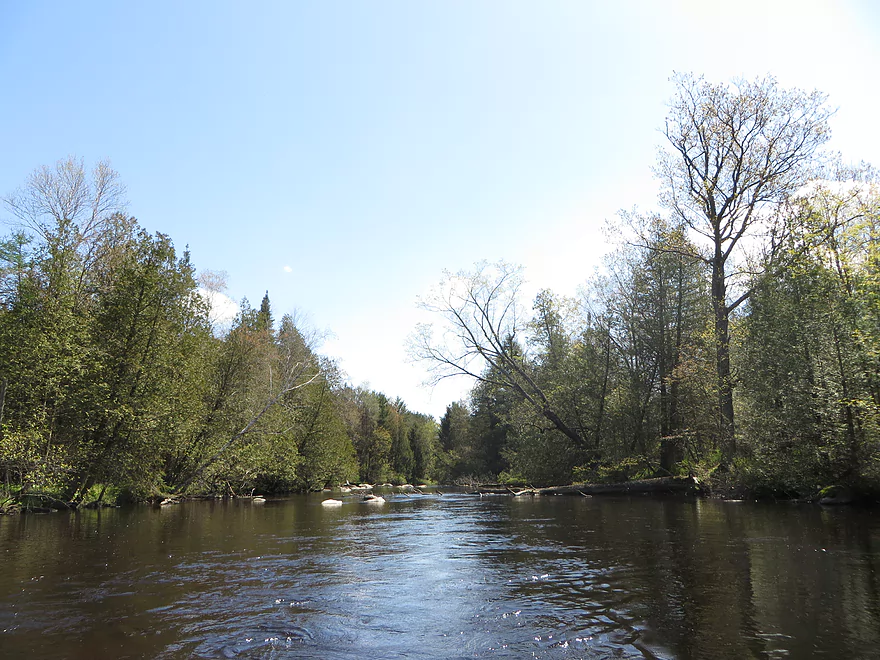
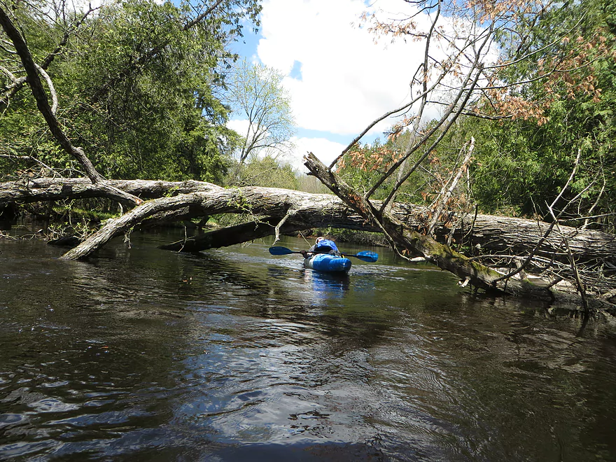
The water was remarkably clear despite a reddish tint. The bottom was firm and made of sand, gravel, and small stones. The scenery was mostly a mix of deciduous and coniferous trees. Most of the route was easy-going and free of downed trees and boulders. There were tons of birds everywhere. Nobody else was on the river. Marsh marigolds and trilliums were frequently visible along the shore. Water depth was almost never an issue.
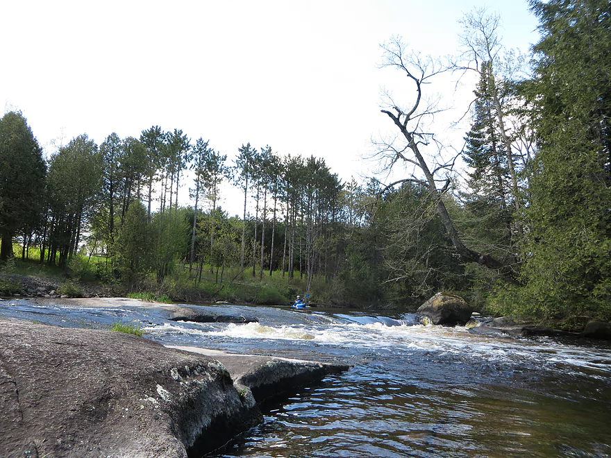
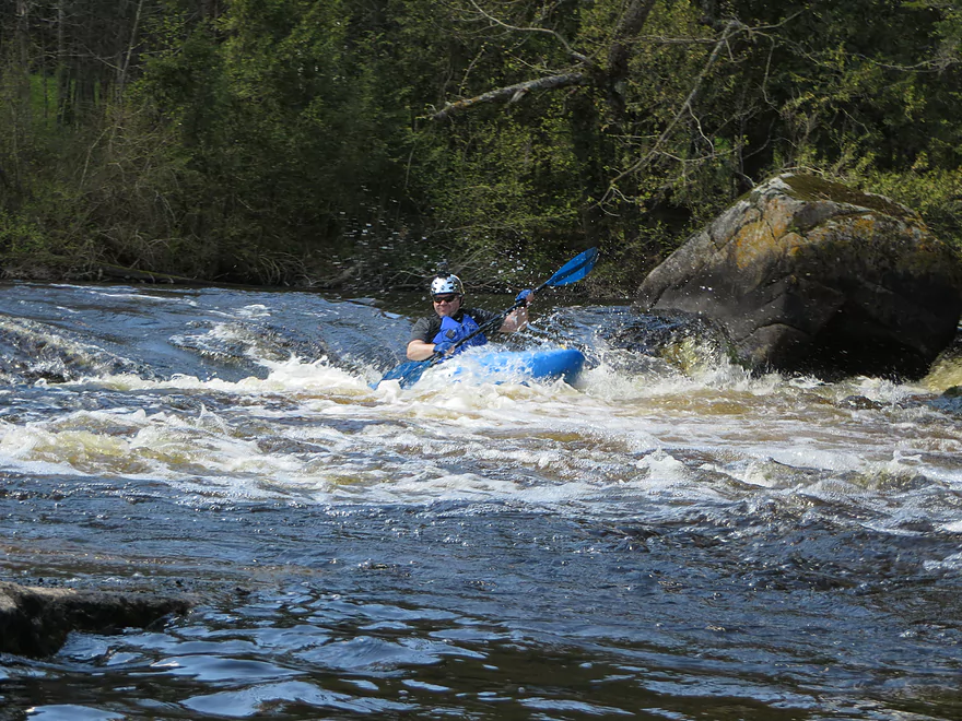
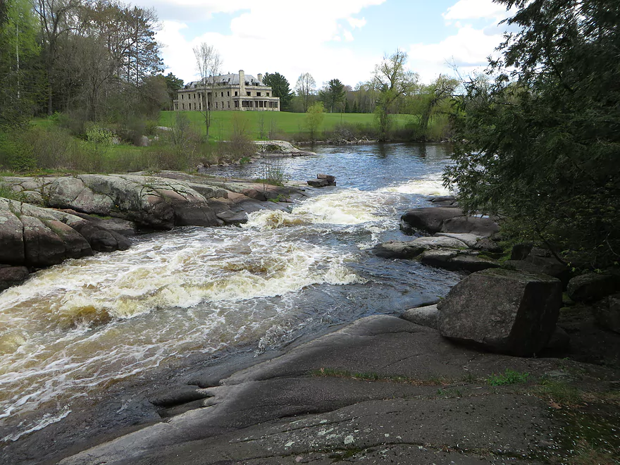
There were a couple short Class 2 rapids, and one Class 3 (Monastery Falls). Monastery Falls is not dangerous, but you would have to have a whitewater kayak and some whitewater experience to make it through without getting flipped. It wasn’t too difficult though to portage around it. Monastery Falls is next to a huge vacant stone mansion next to the river. It looks more like the kind of home you would see in Southern California along the ocean. The building appears to have been vacant for many years, but the grounds are still maintained by someone though. It is one of the only buildings visible from the river.
The take-out is fairly convenient. Parking is relatively close. You can choose to take out prior to a Class three Rapids, or just after. The Rapids are short, so you can use the same take-out either way. One if the locals was trying to goad us into doing it. I think she was hard up for entertainment! We ended up portaging it. It wasn’t dangerous, but looked like it could roll the kayak easily.
I would definitely recommend the Red River. We did a short section so we could do two rivers in one day, but if I did it again, I would consider doing a longer section and not do a second river.
Thank you Corbin for the review! I’ll add some additional interesting tidbits here.
Monastery Falls is a very popular whitewater rapids. Here are YouTube videos of some kayakers tackling the falls during high water.
There is also an excellent description of the falls at Paddling.com which gives visual clues for gauging water levels at the falls (and warns of a nearby grumpy landowner). The writer comments:
“The Red is an old stand-by for the locals when the other rivers are too low or too high. The power plant is always releasing at least a little water at a controlled rate that makes the Red somewhat predictable. … Don’t scout from the left side as you’ll be in for a big hassle with the landowner. He isn’t partial to paddlers and has an elaborate alarm system.”
The “California-style” mansion is the remains of the Alexian Brothers Novitiate (namesake of Monastery Falls), a famous local landmark with an extremely interesting history (including a 1975 armed takeover by a “Menominee Warrior” group!).
Main Branch:
- Upstream of Hwy 22: Likely many interesting sections but l know little about them. Much of the headwaters are likely on reservation land and off limits.
- Hwy 22 to Morgan Road: 9.1 miles. Scenic stretch with strong whitewater (Class 1-4). But…the Stockbridge-Munsee Band of Mohican Indians prohibits access and are likely to issue extremely harsh penalties to those who attempt to paddle this stretch. You can try to obtain permission from the tribal government.
- Morgan Road to Riverside Park: 2.2 miles. Mostly Upper Red Lake. Probably an uninteresting flowage.
- Upper Red Lake Dam to Riverside Park: 0.3 miles. Shallow and rocky section that could have strong Class 2 rapids during high water. Typically this micro-section is too shallow to run though.
- Riverside Park to Red River Park: 1.4 miles. Pretty much the length of Lower Red Lake. Probably an uninteresting flowage.
- Red River Park/Dam to Hwy A: 4.7 miles. Reviewed here.
- Hwy A to Maple Ave: 3.4 miles. Probably few if any rapids. Some geology but not as nice as upstream sections.
- Maple Ave to Mouth: 4.4 miles. Probably pleasant but not exotic. Not sure if Maple Ave is a good access.
- Wolf River Take-out Options:
- Upstream: 1000′: You might be able to take out at Hwy A, but I’m not sure.
- Downstream Option #1: 1.9 miles. Slow paddling on the Wolf. Per the DNR you can take out on the west bank by Wolf River Ct and Wolf River Road but this might be in error.
- Downstream Option #2: 2.6 miles. Take out at Mink Ranch Lane (west bank) where there is a landing.
West Branch:
- Hwy 21 to Main Branch: 7.2 miles. Class 2-4 rapids. You must obtain permission from the Stockbridge-Munsee before paddling this section.
Trip Map
Overview Map
Video
Photos Size: