
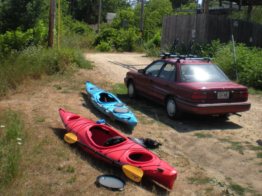
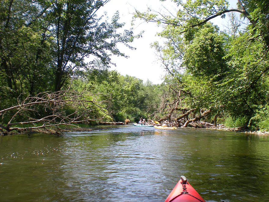
Starting the trip at Stebbinsville Road
Decent access
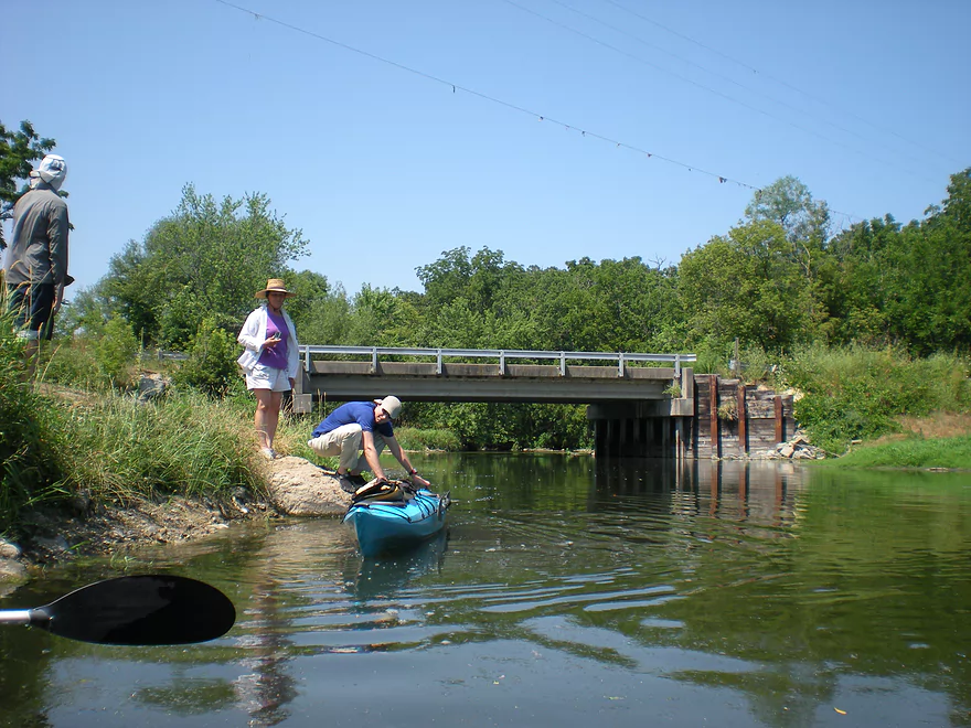
There used to be a dam here
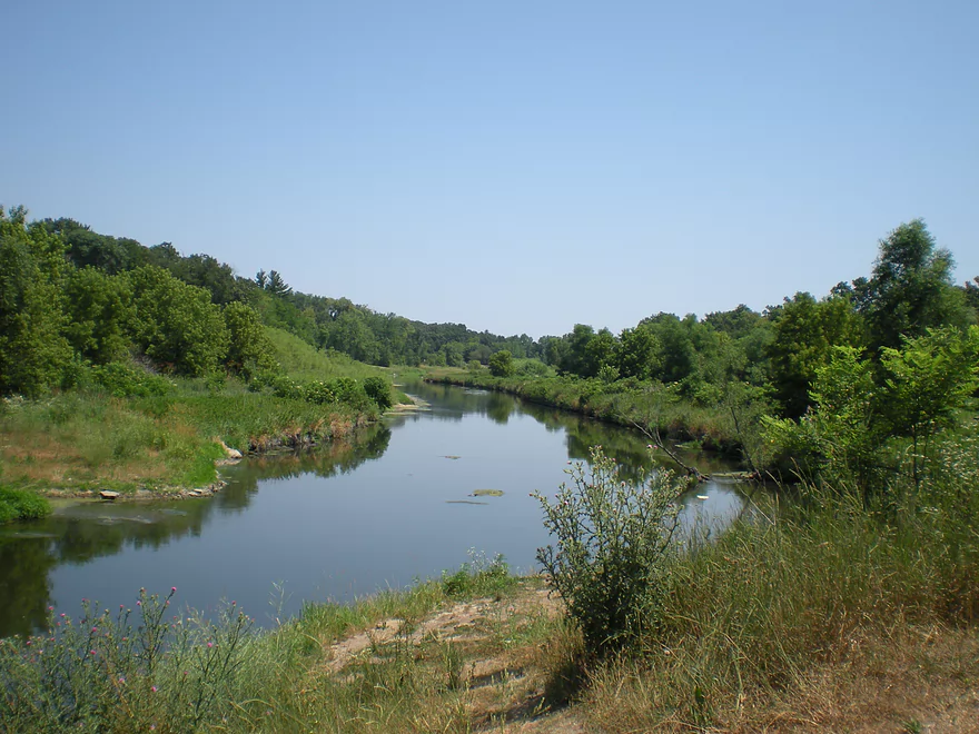
The first mile was great…clear water and good current
One of several riffles
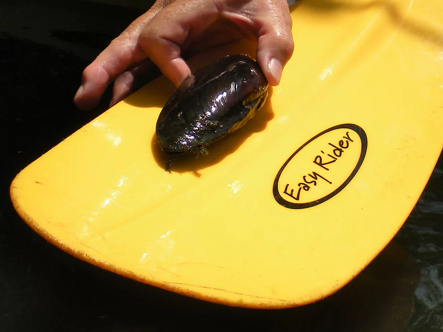
A good clam river
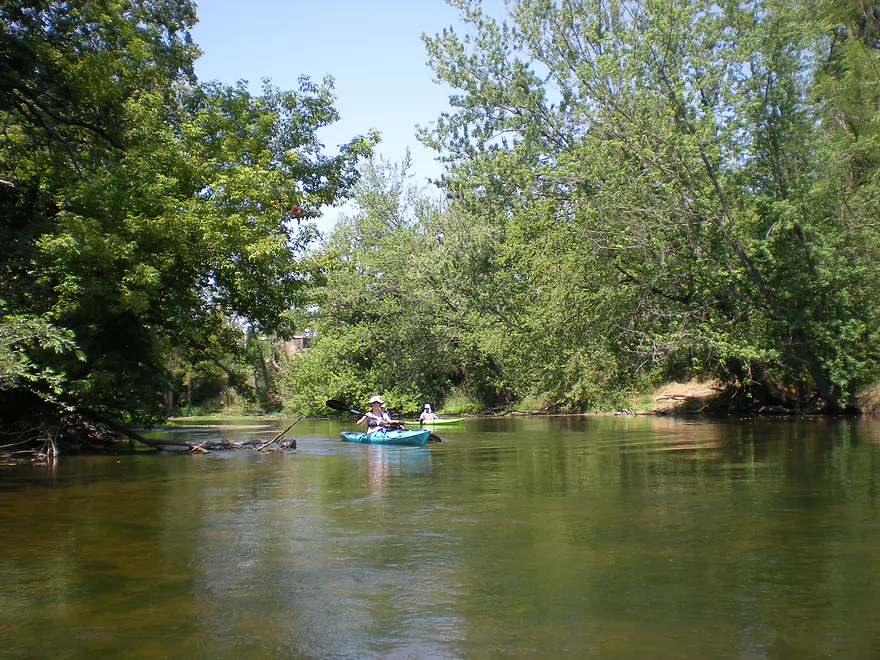
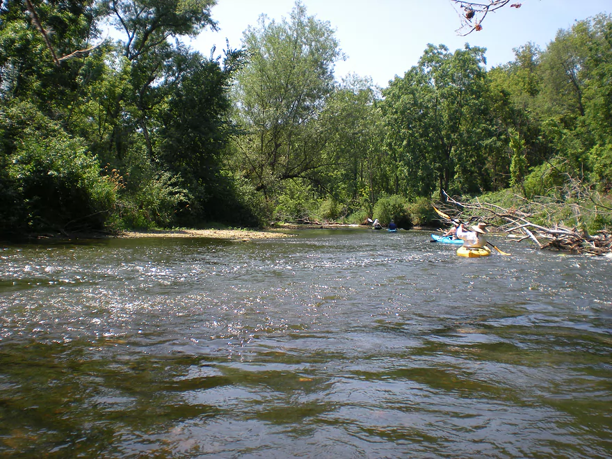
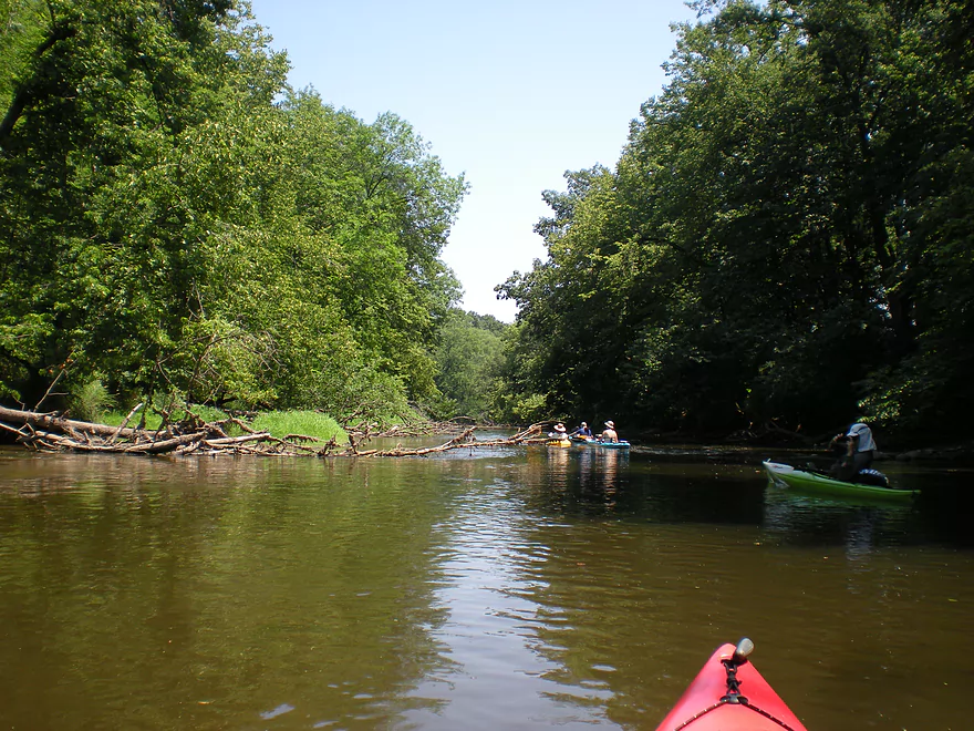
Poorly pictured…but Badfish Creek is coming in from the right
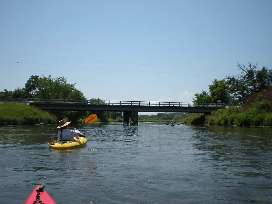
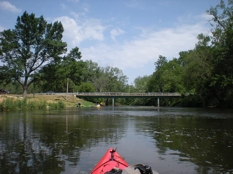
Hwy 59
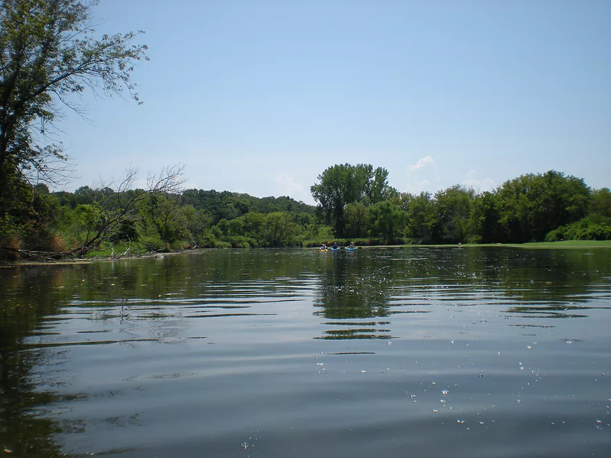
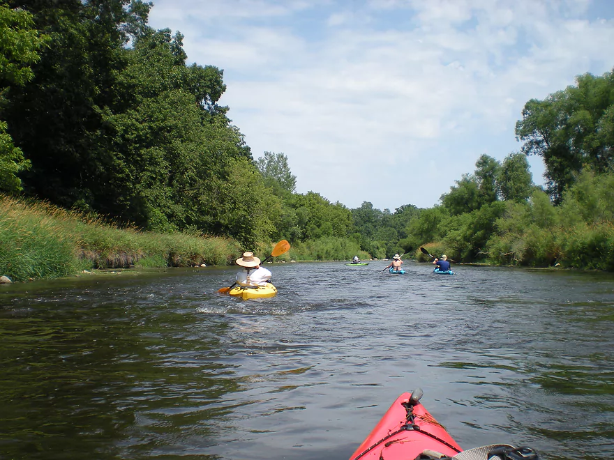
The river is much bigger after Badfish
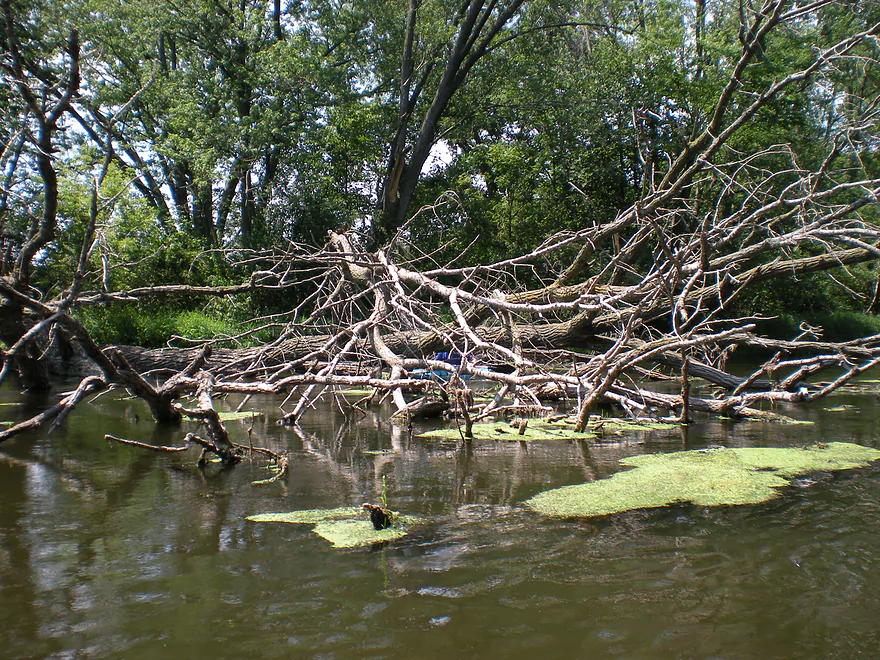
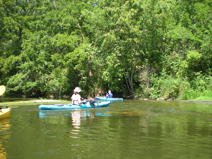
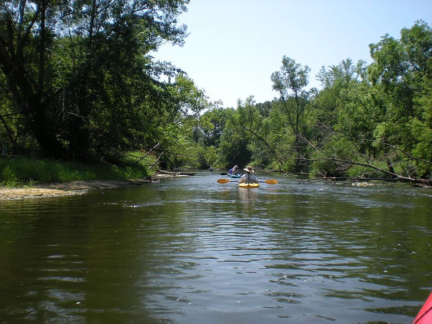
Logjams were never an issue
An unsuccessful eskimo roll
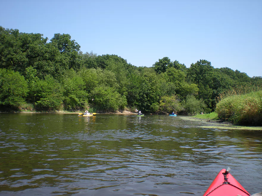
A nice rocky section
Coming up on Hwy H
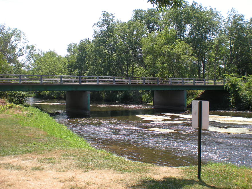
Location of Murwin Park
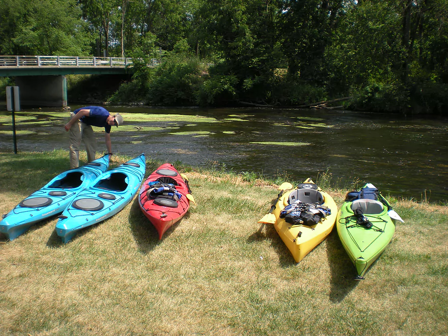
Good take-out
Yahara River

Originating from a chain of lakes in the Madison area, the Yahara is very popular with locals. It’s not a super long river and has a number of dams, so there aren’t that many navigable areas before it reaches the Rock River. The most popular section is from the site of the old Stebbinsville Dam (just recently removed) down to Murwin Park. Murwin Park is a great takeout location with proper parking and bathrooms. Definitely use the bathrooms here before driving up to the put-in as, while there is parking at Stebbinsville, there aren’t bathrooms.
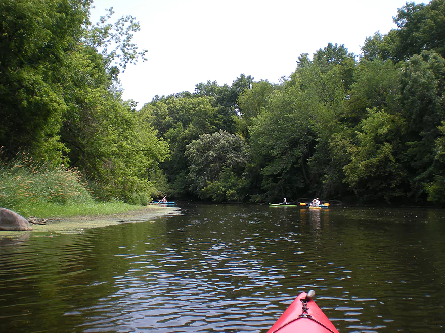
The river starts out very nicely, with some riffles and scenic woods. The water is pretty clean and clams, fish, and dragonflies tend to be plentiful. About two miles in…there is an eagle nest on the left bank. We got to see an adult and fledgling while on our trip. This section of the river is probably the nicest there is.
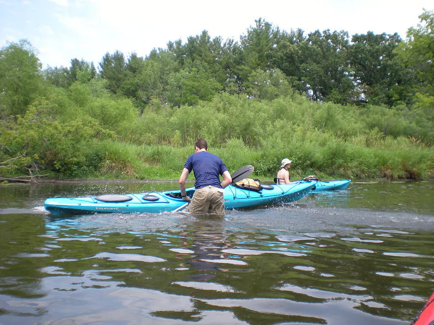
About a forth of the way into the trip, Badfish Creek empties into the Yahara. The creek is actually a small river and adds significant volume to the main channel. While the creek itself is relatively clean (an oddity, considering it gets sewage discharge from Madison), the water quality does degrade somewhat after it meets the Badfish. This may not be the fault of the Badfish, as the Stebbinsville dam was recently removed, which means a lot of built up sediment behind the dam is probably working its way downstream and it will probably take some years for the river to flush this dirt out of its system. In fact, numerous reviews noted the nice sandbars on the stretch…we didn’t see any (aside from some muddy flats). And this was despite the water being near record low levels. So again, this is probably a sign that the Yahara will take a little time to flush out the old sediment.
We did the river near the start of July at the height of the drought and it was still largely navigable…especially after it converges with the Badfish. The quality of the Yahara is kind of hit and miss. There are cool little riffle sections (not nearly as many as the Badfish) and then slow, stagnant areas with little helping current. There are cool wooded corridors and boulder gardens…then boring open grasslands. Sometimes the water would be clean…sometimes dirty. So all in all, somewhat of an up-and-down river. If it is not too much of a drive, it is probably definitely worth doing…but if you are in the area, you should consider the Badfish instead which is a much superior prospect.
As for additional sections, I believe the river should be navigable now from the Stoughton dam to the Stebbinsville pull-off, but have not read any reviews in regards to this. Many kayakers do pass up the Murwin Park takeout and instead take out on one of the landings on the Rock River, which is an option as well.
Detailed Overview
- Hwy 51 to E. Yahara Road: 1.4 miles. Very small and channelized, it seems open but there might be some snags here.
- Yahara Road to Veterans Park (DeForest): 1.6 miles. Very wooded so good chance of jams if not cleared out.
- Veterans Park to Windsor Road/Sunfish Pond: 5.7 miles. A small but fast stretch that has become popular in recent years.
- Windsor Road to Linden Drive/I90: 1.5 miles. An interesting section through a golf course. Linden Drive access is privately owned by the golf course.
- Linden Drive to Hwy 19: 1.3 miles. There are too many logjams to recommend this.
- Hwy 19 to Cherokee Park: 4.5 miles including 1.8 miles of lake paddling. There are too many logjams downstream of Hwy 19 to recommend that as a put-in.
- Cherokee Park to Tenney Park (aka Lake Mendota): 7.6 miles. A nice lake but really too big and exposed for most paddlers.
- Tenney Canal and Locks to Morrison Park: 1.3 miles. A fun experience. A canal fee might be required.
- Morrison Park to Paunack Park (Lake Monona): 2.6 miles. Mostly too big and busy to paddle, paddlers still do so and enjoy scenic vistas of the downtown.
- Paunack Park to Babcock Park (Lake Waubesa): 4.2 miles. Probably too much flatwater to be interesting.
- Babcock Park to Fish Camp Park (Mud Lake): 4.1 miles. Wide and flat. Probably uninteresting.
- Fish Camp Road to La Follette Park (Lake Kegonsa): 2.4 miles. Probably uninteresting lake paddling.
- La Follette Park to Viking County Park: 3.5 miles. Finally back to river paddling! An ok prospect, but slow and big.
- Viking County Park to Dunkirk/Hwy N1st Bridge: 5.2 miles.
- Viking County Park to Riverside Drive Park (Stoughton): 2.1 miles. A flowage paddle through downtown Stoughton.
- Riverside Drive Park to the Dunkirk Dam: 3.1 miles. A small flowage that is ok but nothing special.
- Dunkirk/Hwy N1st Bridge to W. Stebbinsville Rd: 4.8 miles.
- Dunkirk to Hwy N2nd Bridge: 2.5 miles. A good stretch that starts a bit slow, but speeds up and contains a number of large scenic boulder gardens.
- Hwy N2nd Bridge to W. Stebbinsville Rd: 2.3 miles. A scenic rocky stretch flowing through glacial outwash.
- Stebbinsville Rd to Murwin Park: 6.2 miles.
- Stebbinsville Rd to Hwy 59: 2.1 miles. This is the last super stretch of the Lower Yahara. After Badfish Creek joins up, the river becomes much larger and less interesting.
- Hwy 59 to Murwin Park: 4.4 miles. While not as scenic as upstream legs, this is still a solid stretch and popular with paddlers.
- Murwin Park to the Rock River: 2.8 miles. Final stretch on the Yahara and then a short leg on the Rock River. Probably ok, but nothing special.
Many of Yahara's tributaries are navigable as well.
- Badfish Creek - A classic! One of the better paddles in Southern Wisconsin.
- Token Creek - A surprisingly nice creek located northeast of Madison.
- Nine Springs Creek - An underrated prospect located west of Lake Monona that has some attractive springs.
- Six Mile Creek
- Upper Six Mile Creek - Congested in spots, this is still a really neat paddle with character you don't expect from Southern Wisconsin.
- Lower Six Mile Creek - Recently cleared of logjams, this is a varied paddle that includes both dense woods and open marshland.
- Starkweather Creek - A slow urban paddle, but interesting because of its bridges and Olbrich Gardens.
- Pheasant Branch Creek - Located northwest of Madison, this is a short trip but has some spectacular springs.
- Wingra Creek - A short urban paddle west of the Isthmus that might be fun.
- Dorn Creek - A possible prospect west of Madison that would require a lot of water.
- Seven Mile Creek - West of Lake Monona, I've heard this is a pleasant paddle.
- Swan Creek - Possible prospect but short (south of Lake Waubesa)
- Murphy Creek - Interesting wetland prospect but access on the upstream sections looks tricky (south of Lake Waubesa)
- Door Creek - Small, slow and channelized but might be ok. Has had recent cleanup work on it from I believe Hwy MN.
Trip Map
View Yahara River in a larger map
Overview Map
Video
Photos Size:
Anybody know why the owner has blocked the circle drive at the former dam with a large forklift?
There’s an alternate put-in closer to the bridge, and I think the old put-in on the opposite side of the road is still legal. Here’s a link to a photo of the forklift, “No Trespassing” sign, plus a photo of the path to the old put-in on the opposite side of the road.
Good question Jon…it does seem really odd. Hopefully another reader will chime in with an answer.
Forklift is no longer blocking the circle drive, but paddlers seem to have started putting in closer to the bridge anyway. Paddled Stebbinsville to Murwin Park in Fulton on 07July2019, 650 CFS at 5.30 ft. I prefer this stretch at a lower water level, but it was a beautiful day on the river, with 2 juvenile eagles perched next to the nest that Aaron mentions.
Appreciate the update Jon!
Warning to Yahara River paddlers…a teenage girl was killed recently when canoeing the river by Fulton. She and the canoe became pinned by a strainer and did not escape. The Yahara was very high (over 1000 CFS). High rivers should rarely be paddled as strainers can become deadly traps at these levels.
https://www.channel3000.com/news/-i-tried-as-i-could-to-bring-her-up-state-trooper-first-in-water-to-rescue-trapped-14-year-old/1081179635
Via madcitypaddlers.org, courtesy of Jim J: ‘The February 8th, 2024 tornado that caused so much damage around Evansville/Edgerton touched down right on the river a mile or two upstream of Fulton. A thousand trees were shredded & every tree on river right for 100 plus yards was uprooted and laid directly into the river. Miraculously there is a clear path through that takes only a little maneuvering. However, anybody leading beginners down this section needs to be aware, & probably should have a saw. It probably isn’t a section to be recommended for beginners for a while. I had my phone, but didn’t think to take photos.”
Thanks Jon for the update. I don’t see too many downed trees on satellite maps, but those may be outdated.
A followup on Jon’s point…the Rock County Sheriff’s is warning of debris in Yahara River and Badfish Creek: https://www.facebook.com/photo/?fbid=780990557396496&set=a.296819319146958