
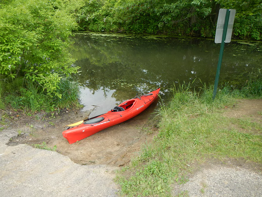
DNR Canoe Landing
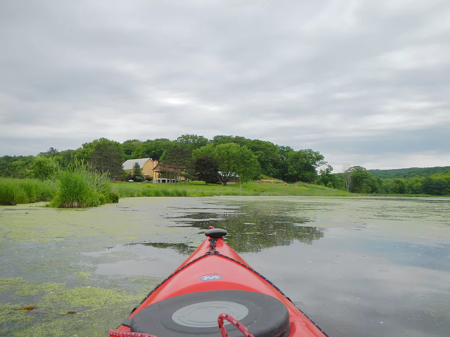
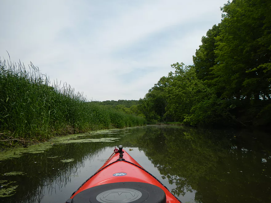
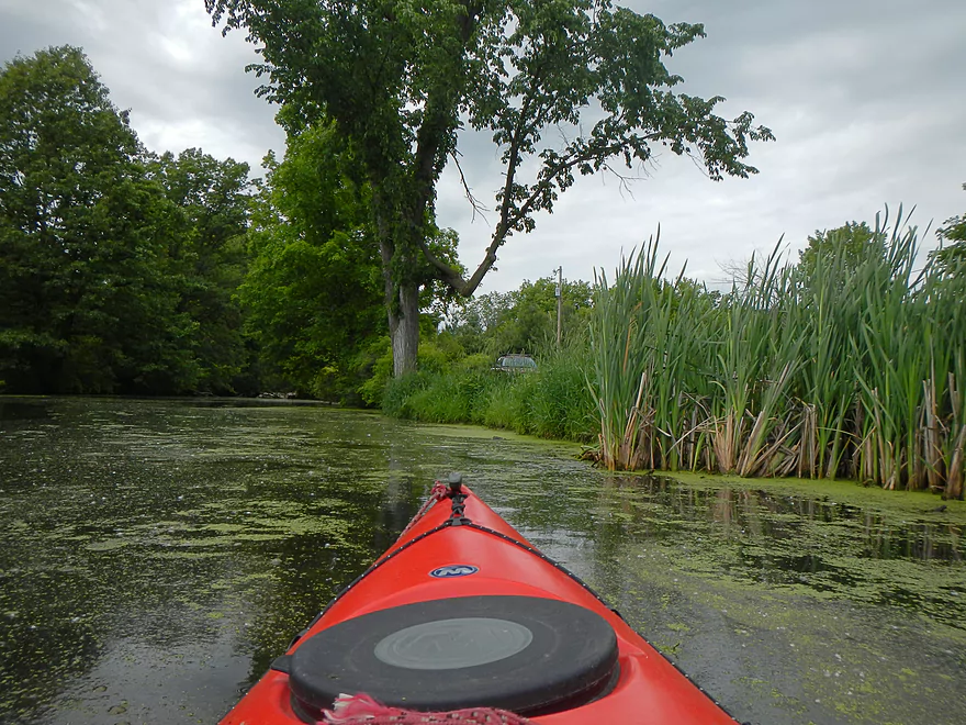
Weed City
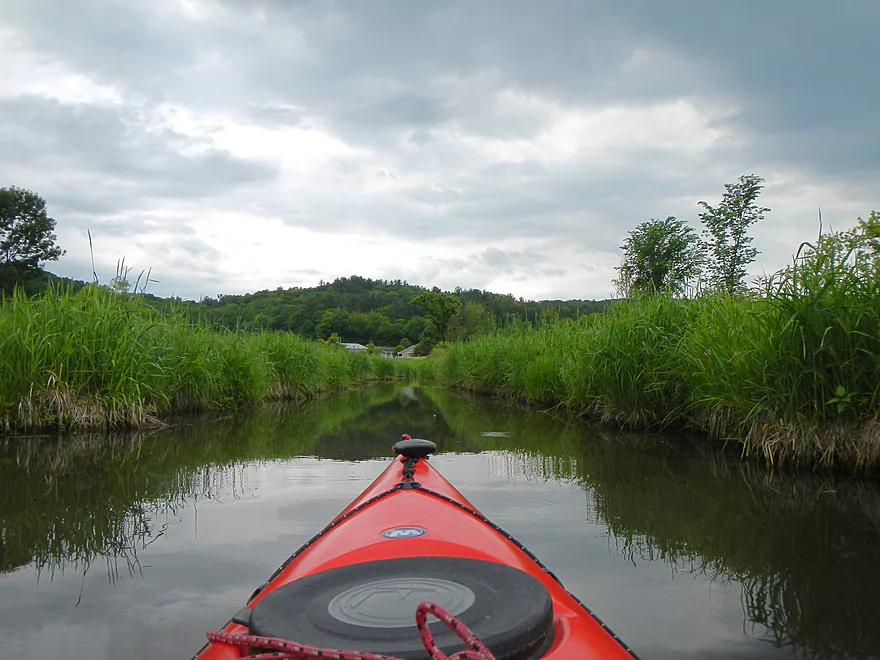
Side drainage ditch
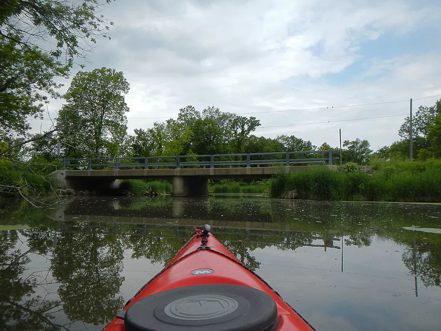
Cox Road Bridge
Log jam – Time to turn around
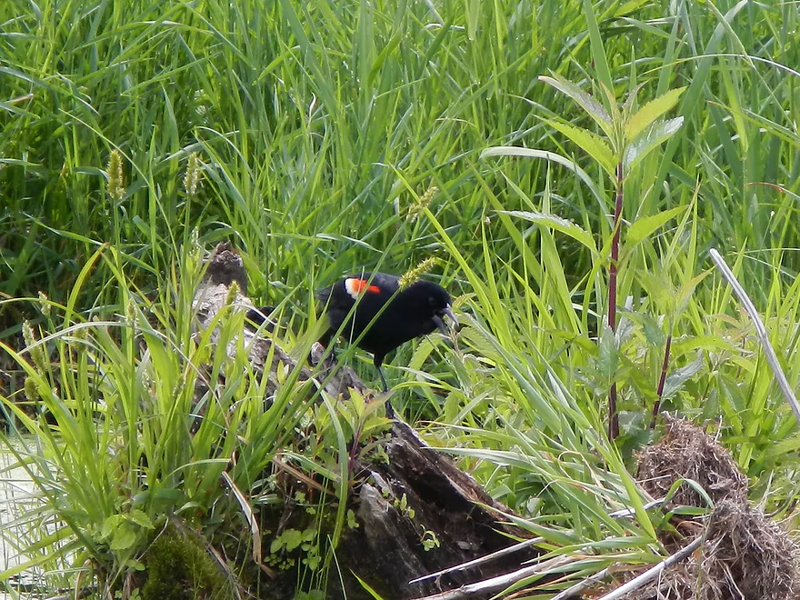
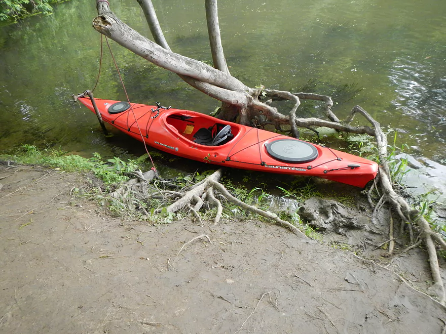
Leachy the trip mascot
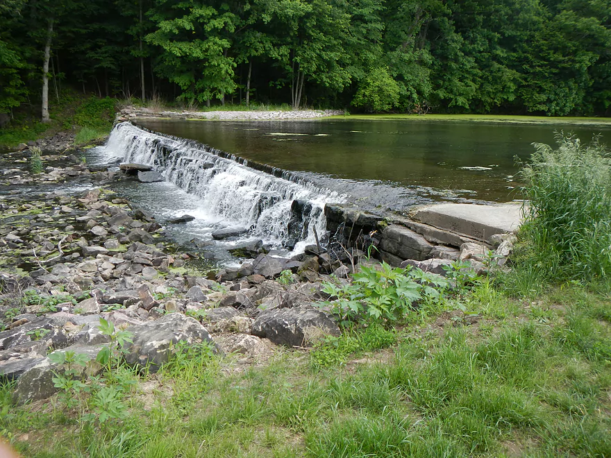
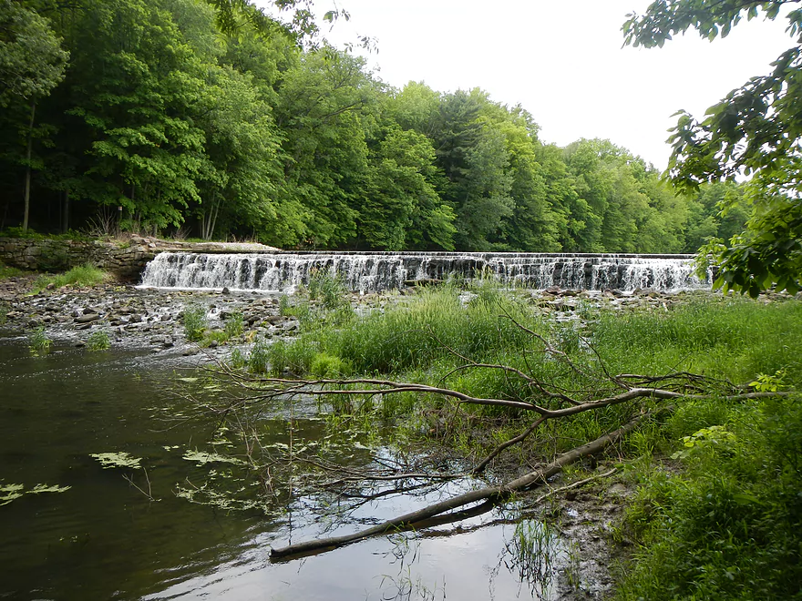
Seeley Creek Dam
Difficult to put in below the dam
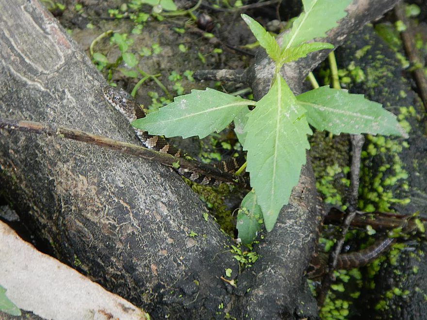
A snake
Briefly exploring the creek below the dam
It is nice
Saying goodbye to Seeley Creek
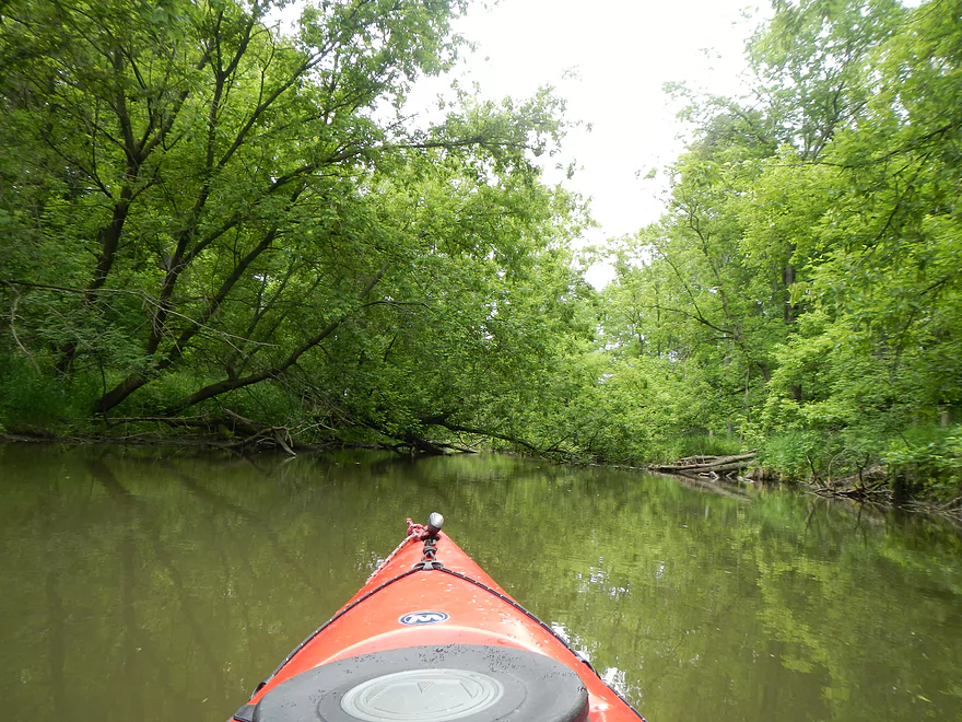
Seeley Creek

Located in the heart of the Baraboo Hills close to North Freedom, Seeley Creek is one the largest tributaries to the Baraboo River. Just a couple miles upstream of the mouth, the creek is dammed to form an artificial lake, which is popular with local fishermen. Officially, there is a DNR landing for canoes there, so I decided to check this out last Saturday.
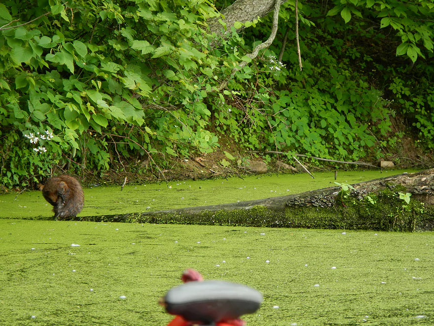
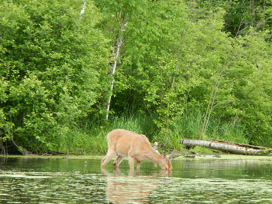
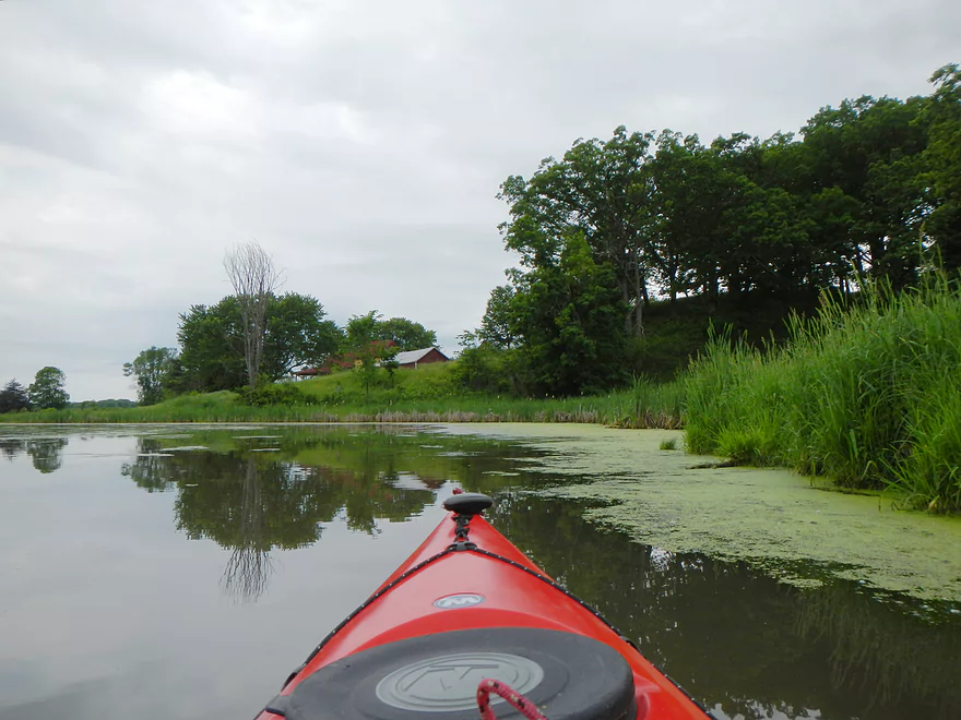
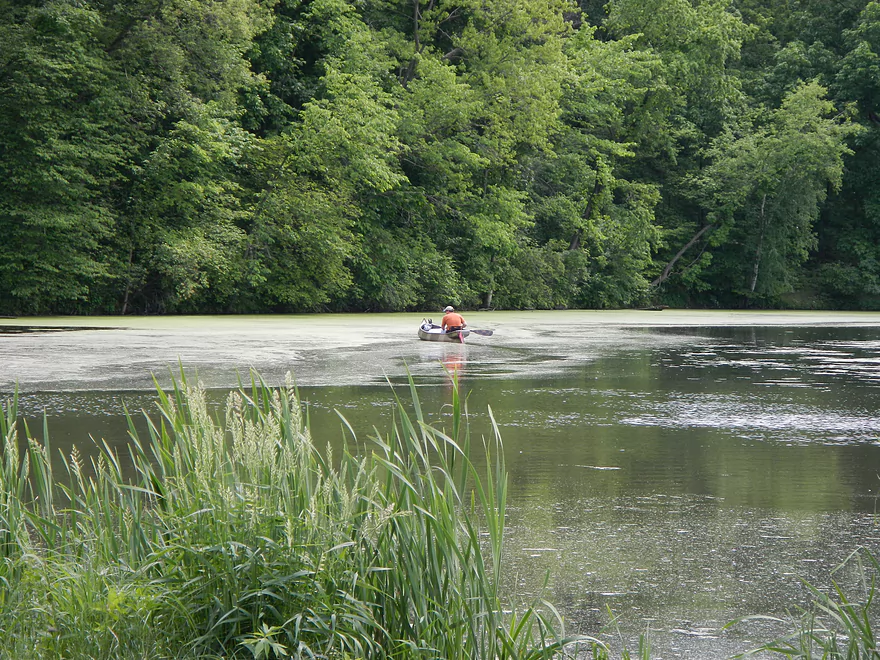
The landing itself is decent, with good parking, but no bathrooms. The first thing you’ll notice is how mucky the water is and how many pond weeds there are. In fact, during the summer, the weeds get so thick I’m not sure how easy it would be to navigate through the lake. Right off the bat, I lucked out and saw a muskrat along the landing (see video). I continued upstream and then (after my second muskrat sighting) saw a pregnant doe vigorously eating the pond weeds (curious behavior for deer…but welcome for the lake). When I went, the water levels were above normal, which made navigating around the lake pretty easy (my entire trip, water depth was not an issue).
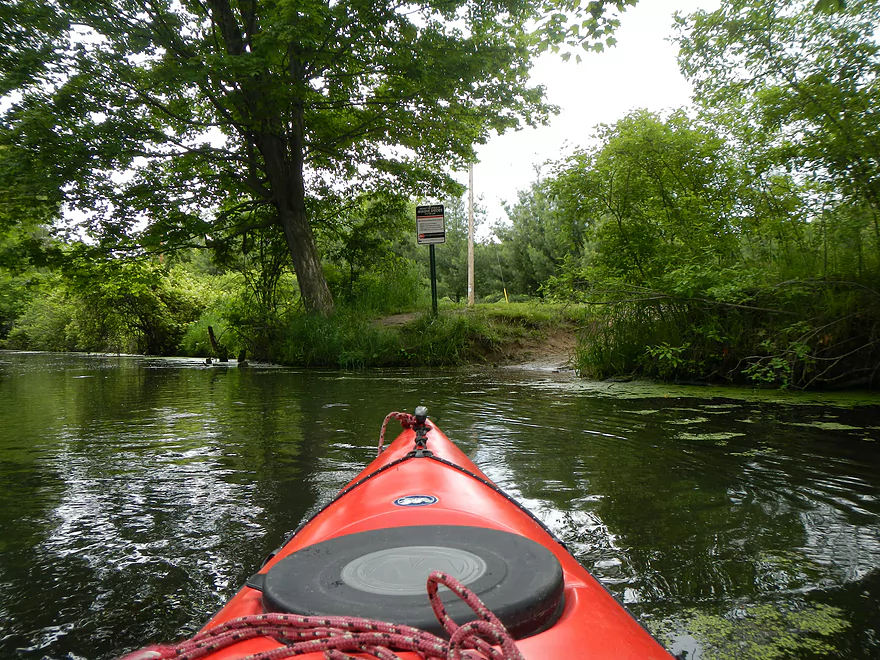
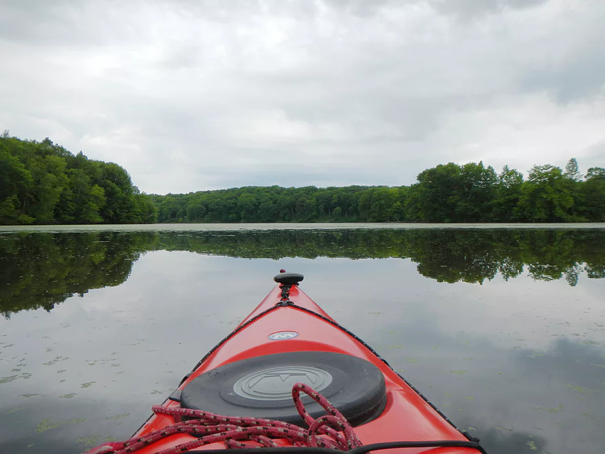
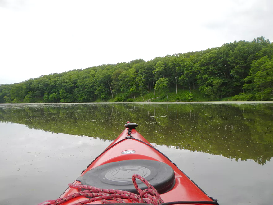
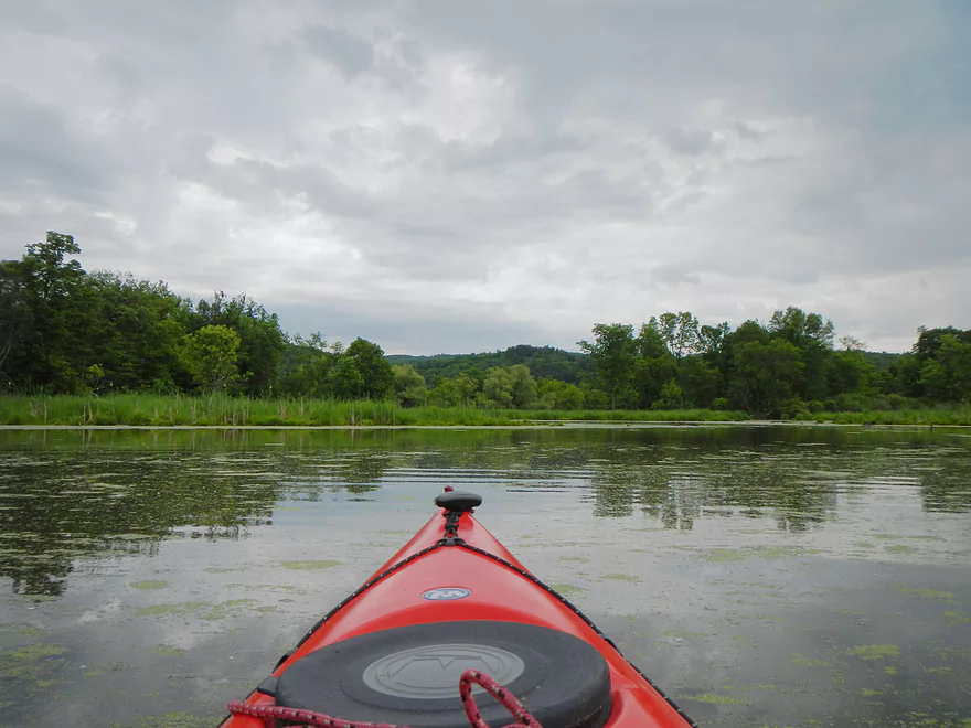
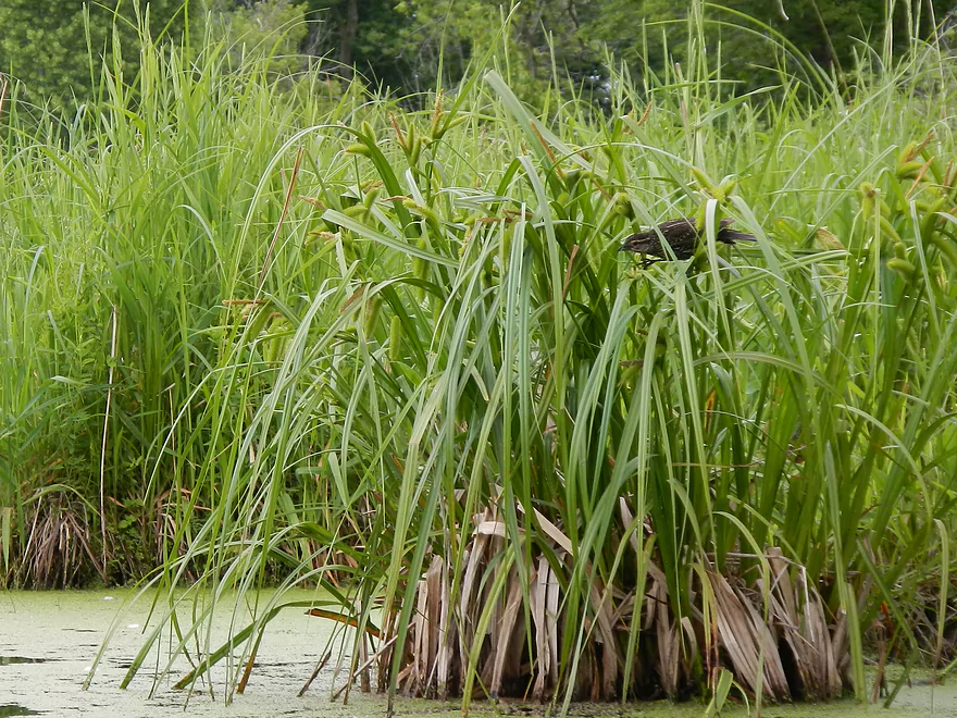
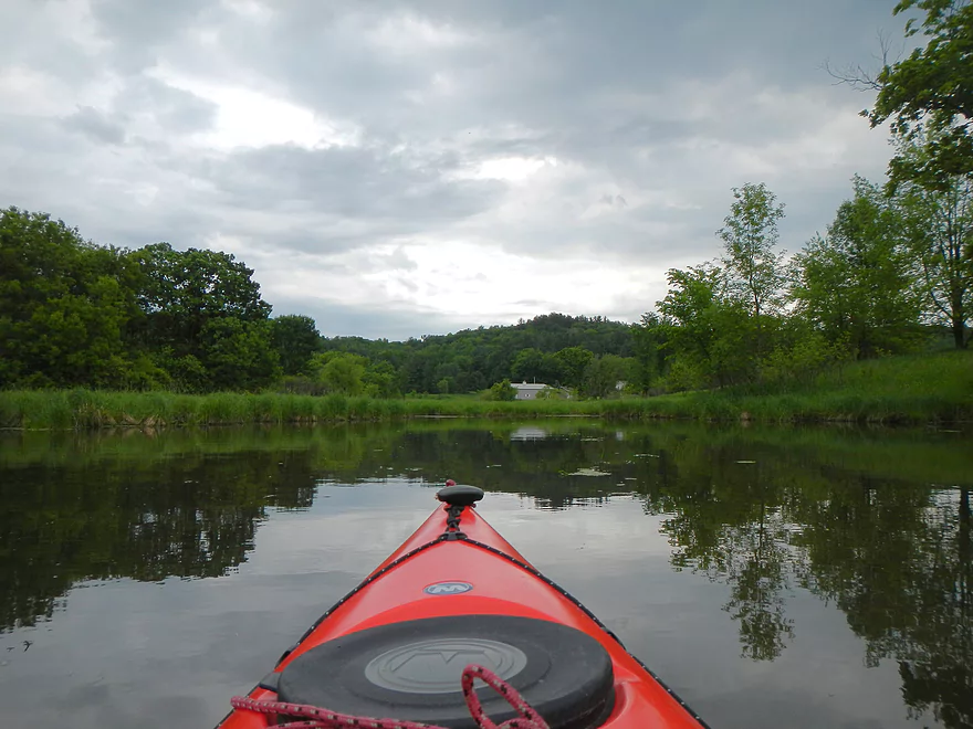
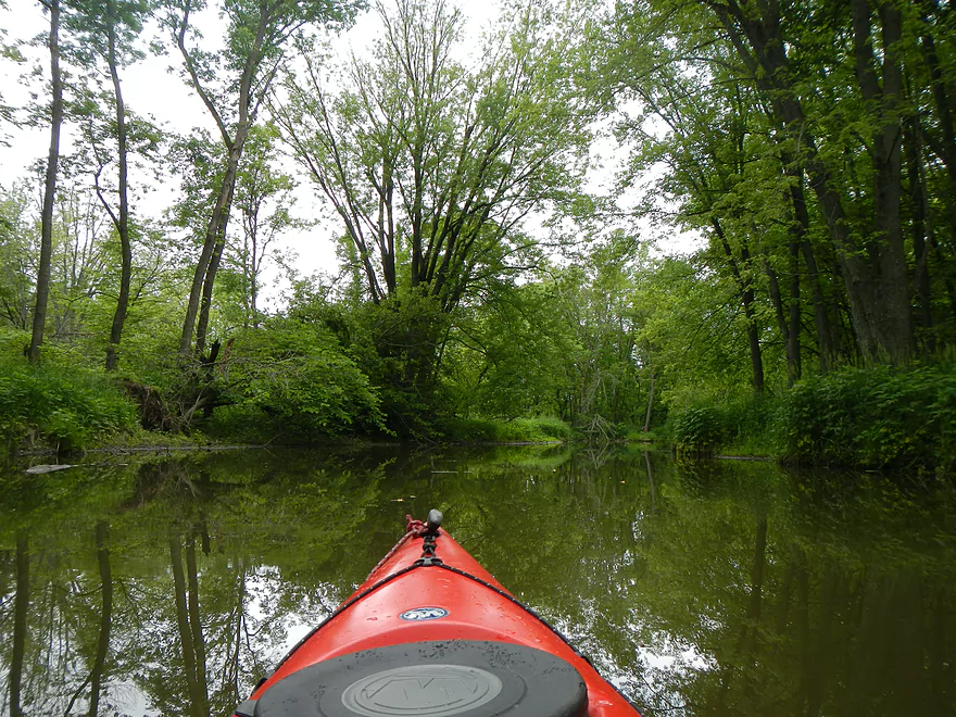
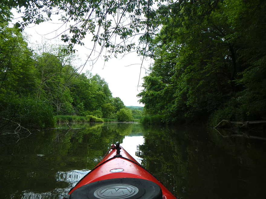
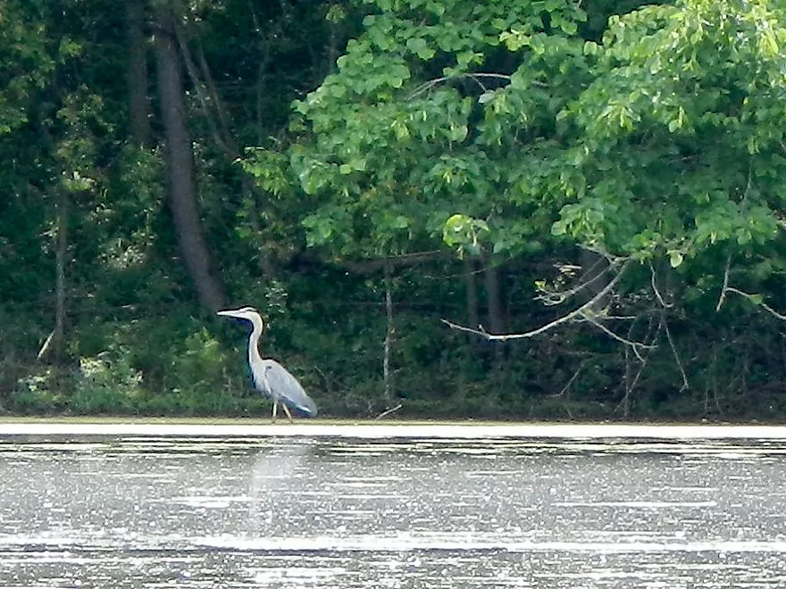
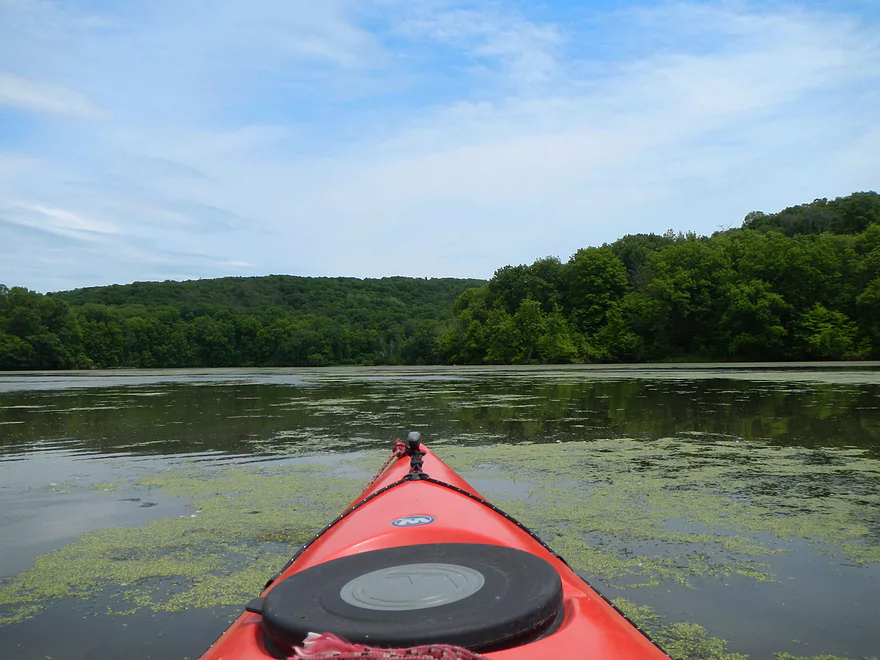
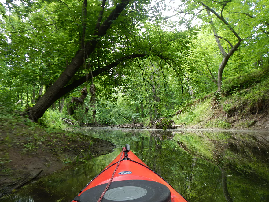
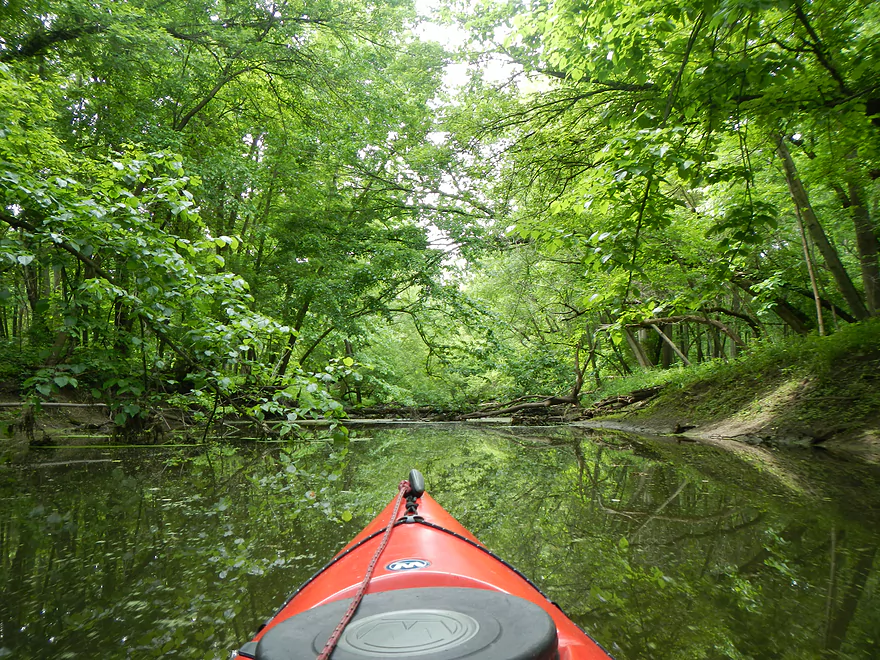
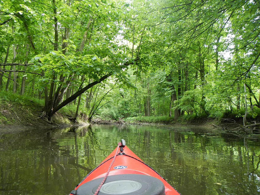
The lake itself isn’t too exciting but it is nice to see the Baraboo Hills as a back-drop and the wildlife was quite abundant. I saw two muskrats, two deer, multiple geese, ducks, an egret, a blue heron, birds of prey, clams, a water snake, many humans, splashing carp, and leeches. I had wanted to go from the lake go as far upstream into the creek as I could. Finding the mouth was kind of tricky though (you’ll kind of see why on the map). I did go up a drainage ditch a bit by mistake, before doubling back and finally finding the proper mouth. The creek itself is easily navigable from here to the next bridge due to the lake effect and the current is quite negligible.
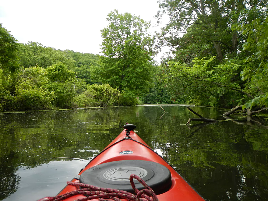
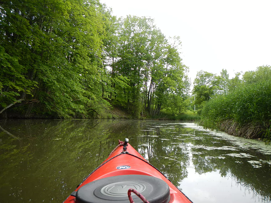
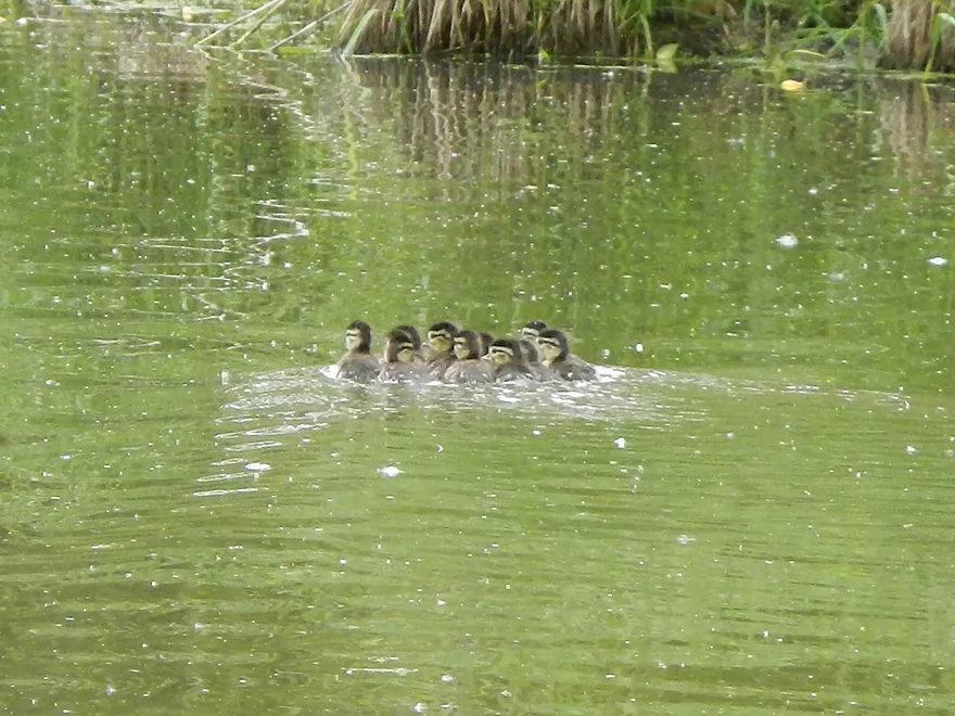
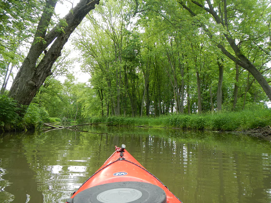
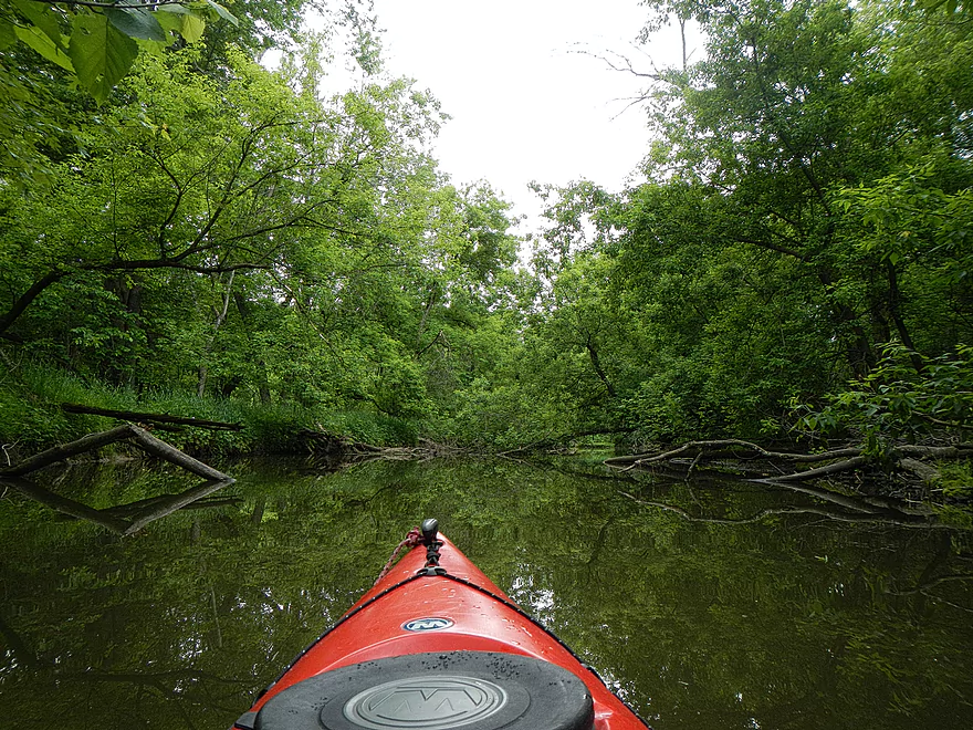
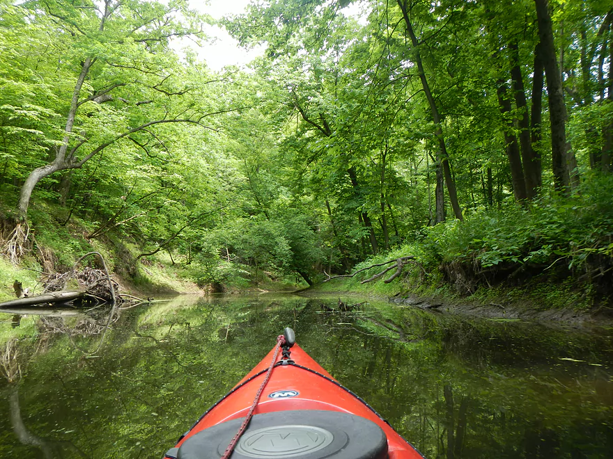
After the first bridge, the forest starts to close in and things get more scenic. I startled a mother duck and her ducklings. She played the wounded duck routine, trying to draw my attention away, while the ducklings foolishly swam into the open water right in front of me (had I been a predator…). It was very impressive how they stuck to close swimming formation despite their large number.
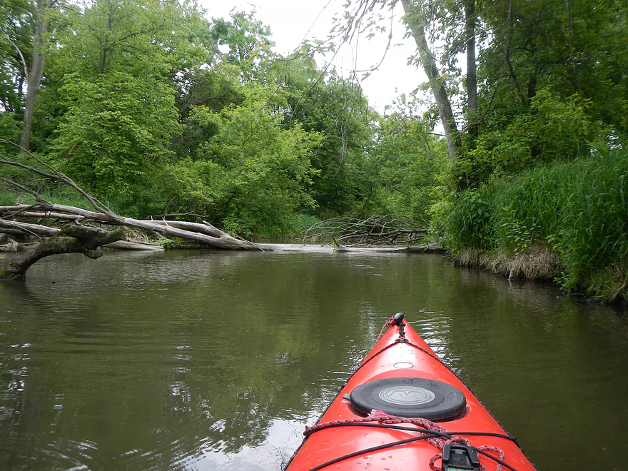
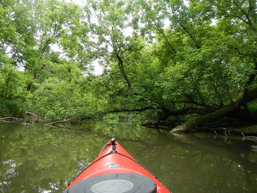
I had hoped to make it to the second bridge at Hwy PF, but encountered a large log lam that I wasn’t in the mood to portage. Just a little past the second bridge (PF) is the railroad bridge for the North Freedom ‘steam’ train. I had hoped to take pictures of the train as it crossed the bridge from the creek, but alas, couldn’t get that far upstream. Throughout the day I could hear the train making its round trips from the station to the old quarry. I think a lot of people who cross that second bridge believe they are crossing the Baraboo River and don’t realize it’s actually Seeley Creek, as they do look similar. From what I’ve seen from PF and the railroad bridge, the upstream section of the creek has a lot of potential as a secluded woodland creek, but the logjams would have to be cleared out.
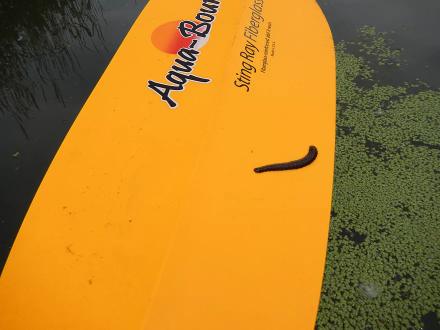
From the logjam, I doubled back to the landing and got to meet a friendly leech hitchhiker near the first bridge. I took out at the landing and then explored around the dam (well, more of an artificial waterfall). It looks very nice though. There is a nice trail that runs the length of the creek below the dam for say 300 yards to where the creek doubles back to the road. I portaged the dam and went downstream as far as I could. During normal years, this would be a lot cleaner and shallower (probably a bit difficult for a v-bottom kayak). I made it a little ways downstream before hitting a log jam, which forced me to double back.
I’m not sure I can recommend this trip. The wildlife was great…and I liked the ‘waterfall’ and short area below it, as well as the segment above the lake. Ultimately the water was too muddy and weedy though. To be a good kayaking prospect (which it could be), the dam needs to be removed (which serves no current purpose) and the log jams cleared out. Then this would be a fun little ‘Mini-Boo’ section to do.
In theory, this isn’t the only segment of the Seeley that would be paddleable. You could paddle further upstream, which seems quite nice…but is probably quite log jammed. From the DNR put-in to the first bridge (and maybe second) looks pretty congested as well. The third bridge (Hwy W) to the mouth does look to be open from the Google maps and runs by a nice Kickapoo’ish bluff on the creek before entering the Baraboo. I might try that trip and then muscle upstream a mile to the North Freedom landing, or float down a couples miles to the Kohlmyer bridge (doesn’t look like a terrific take-out though).
- Upstream of Hwy W: Looks too small to run.
- Hwy W to Klein Road: 2.5 miles. Mostly open, but the creek is very, very small. Might try after a heavy rain.
- Klein Road to Kosin Drive: 3.7 miles. First 3/4ths is open, then it is very wooded with a high chance of jams after that.
- Kosin Drive to Diamond Hill Road: 2.7 miles. Ridiculously filled with log jams.
- Diamond Hill Road to Hwy PF: 0.7 miles. Scenic stretch that runs under the historic North Freedom railroad. Log jams are a serious issue though.
- Hwy PF to Seeley Lake landing: 3.3 miles.
- Hwy PF to Cox Road: 2.0 miles. Nice stretch but with a few log jams.
- Cox Road to Seeley Lake landing: 1.3 miles. Slow flowage paddling but with scenic vistas of the Baraboo Hills.
- Seeley Lake Landing to Freedom Road: 1.5 miles. Really nice stretch with cool rock outcrops, but log jams are a major problem.
- Freedom Road to Mouth: 2.3 miles.
- Freedom Road to Hwy W: 1.0 miles. Nice, with a great rock outcrop, but accounts for 10 of the 15 jams.
- Hwy W to Mouth: 1.3 miles. Great little stretch. Some logjams, but not as many compared to the upstream part.
- Take-out Options on Baraboo River:
- Mouth to North Freedom Park: 1.5 miles. A paddle upstream to reach a nice public landing. During high water the current can be quite strong.
- Mouth to Kohlmeyer Road: 2.7 miles. A downstream paddle that is pleasant with a few outcrops. Kohlmeyer Road is a weak access.
- Kohlmeyer to Giese Park: 3.0 miles. A downstream paddle on a uneventful section of the Baraboo River. Giese Park is an excellent access.
Trip Map
View Seeley Creek in a larger map
Overview Map
Video
Photos Size:
The Seeley Dam is currently being removed. It will be fascinating to see upper Seeley Creek in its restored state and I look forward to paddling it after the dam will be removed:
https://www.facebook.com/SaukCountyScrapbook/posts/pfbid0qijEPQQpS9Hh9BoTnbY9nxrV193bTwGs39QWZP9UzCCNmdEAjZ9tKMxqc5NUSvnNl
Note you’ll be able to see where the future channel will flow from this depth map:
https://fishing-app.gpsnauticalcharts.com/i-boating-fishing-web-app/fishing-marine-charts-navigation.html?title=Seeley+Lake+boating+app#16.12/43.43070/-89.87111