
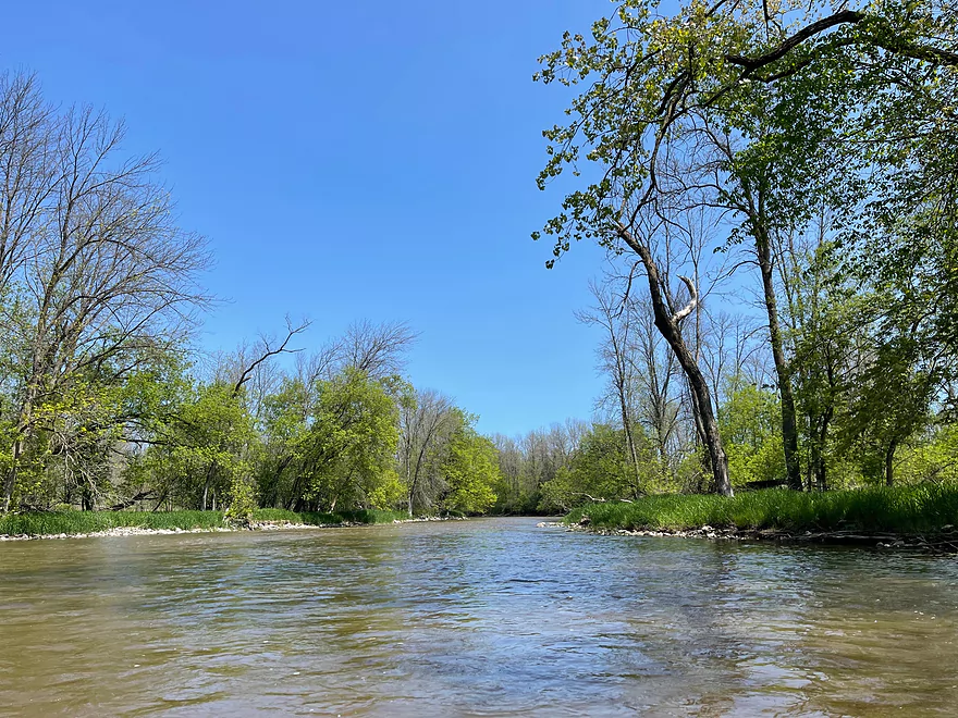
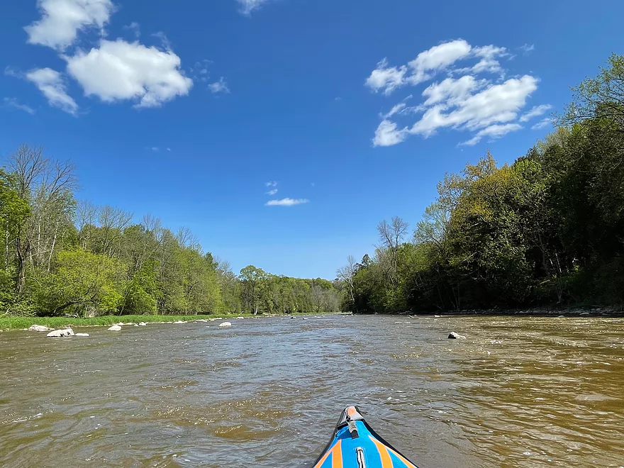
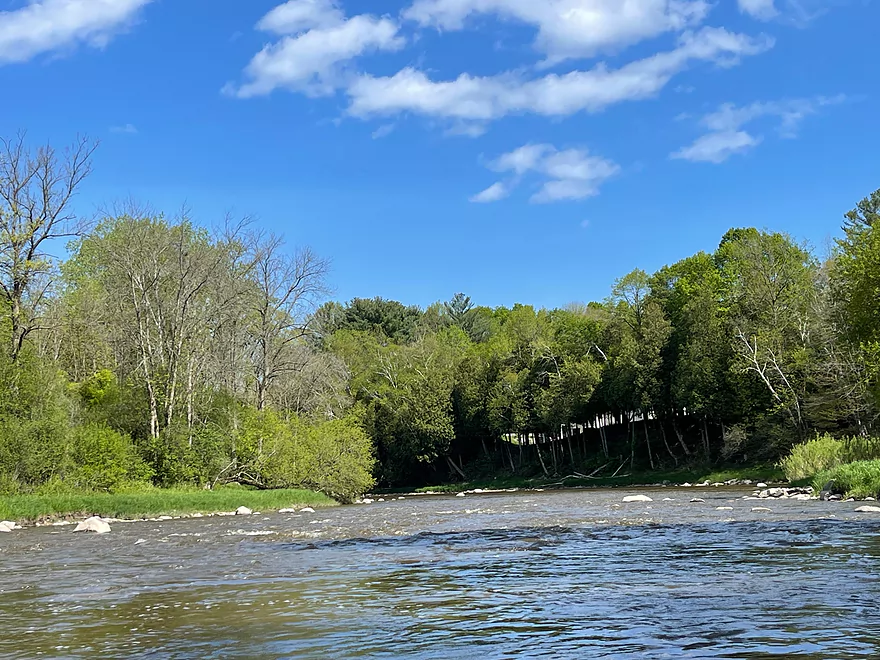
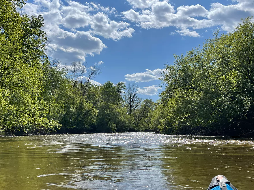
Put in at Union Rd
Riffles
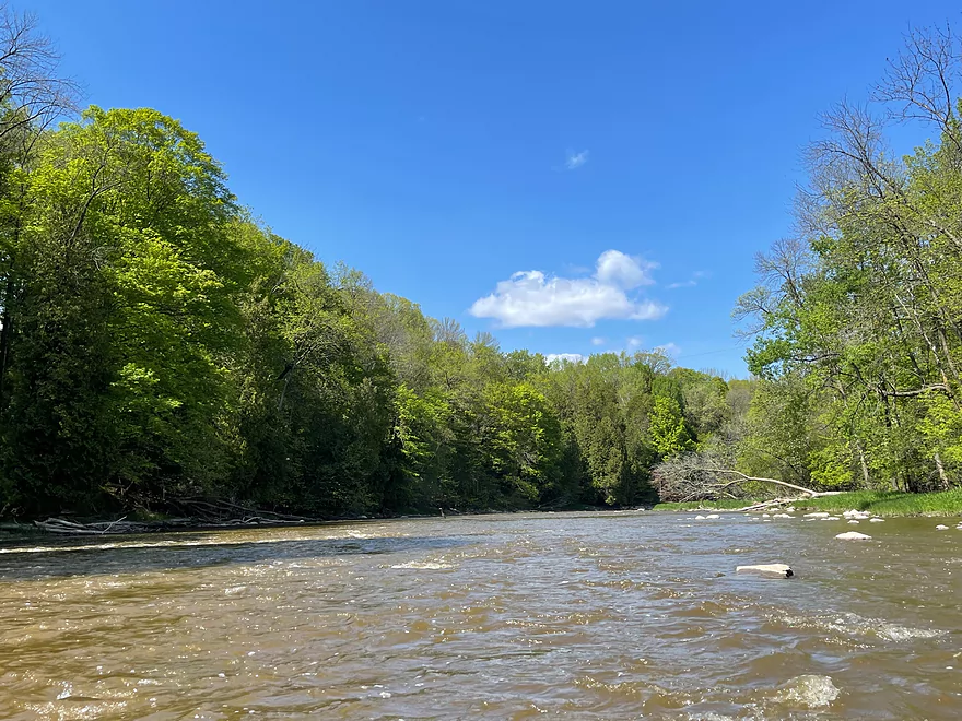
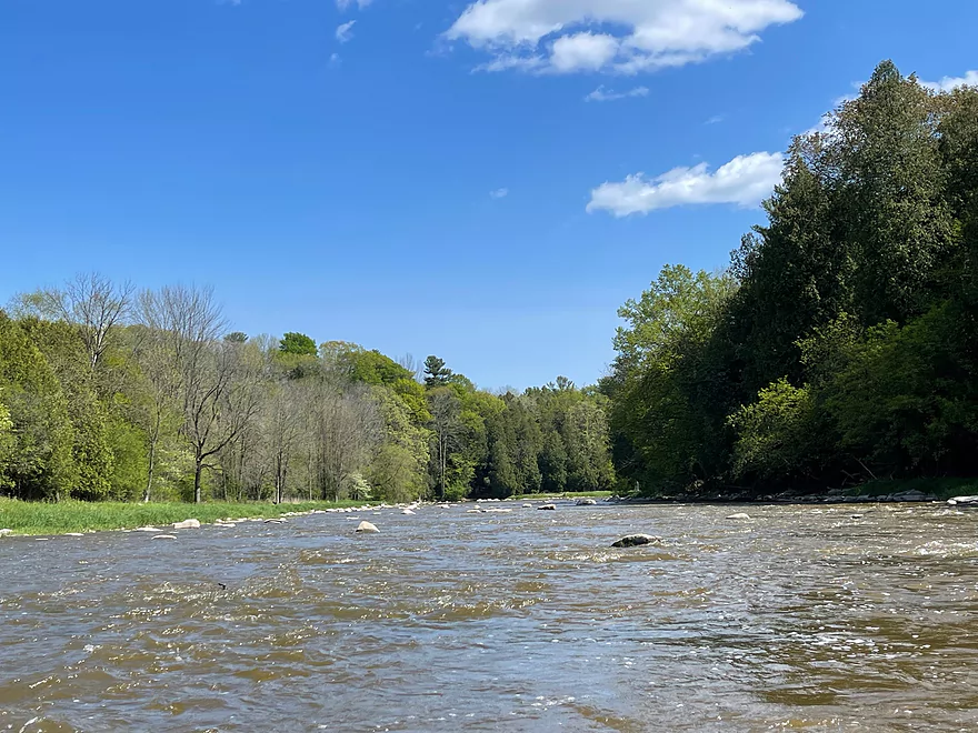
More continuous riffles
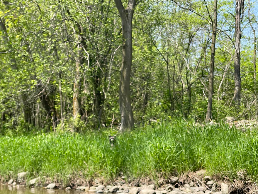
A raccoon watching
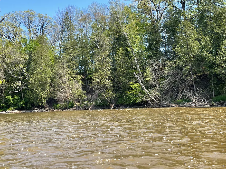
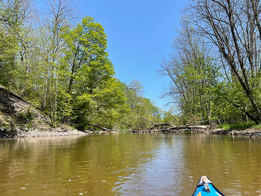
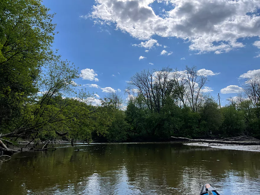
Only deadfall on the trip which was easy to get around
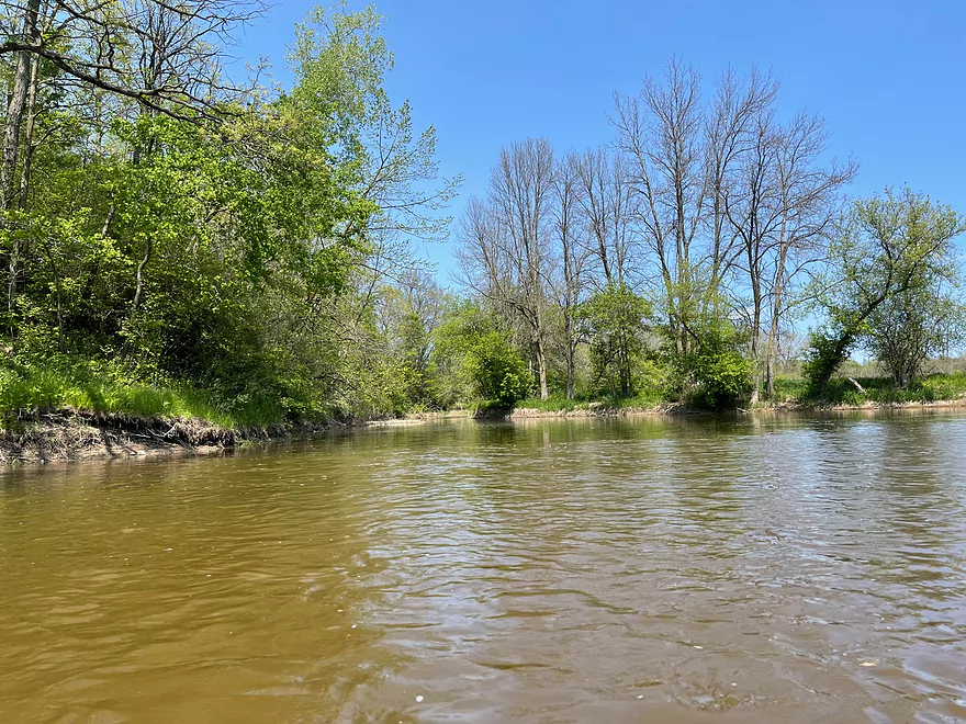
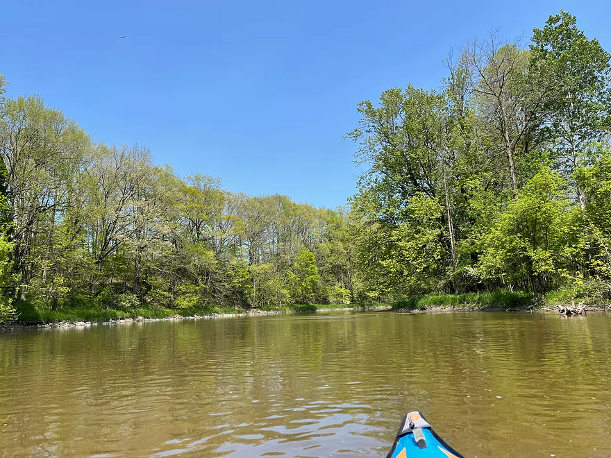
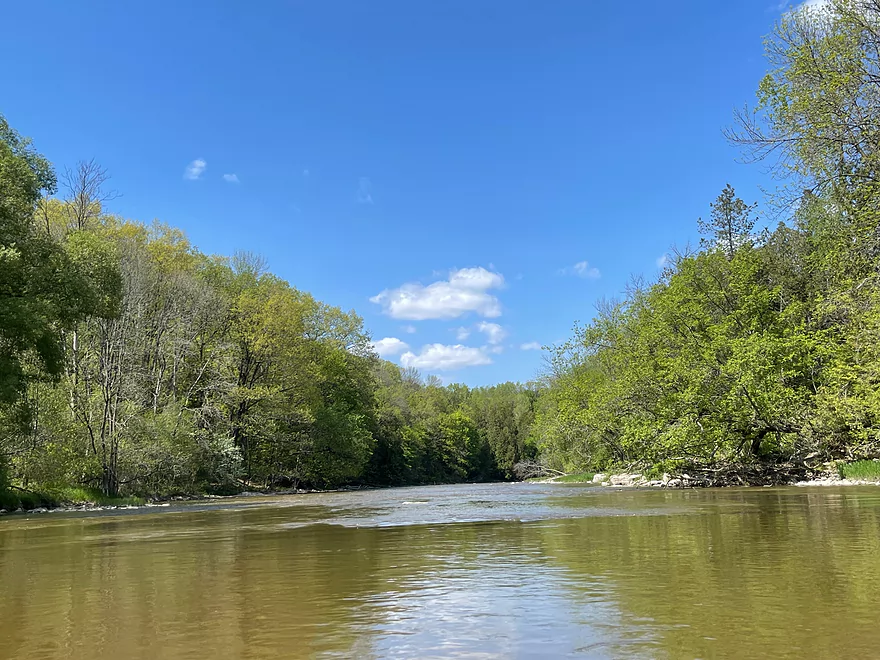
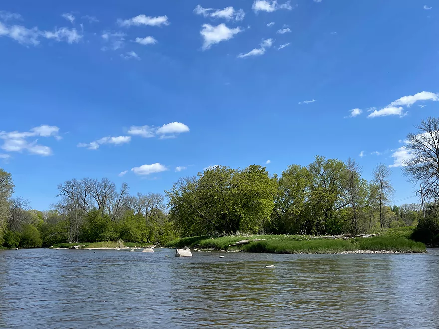
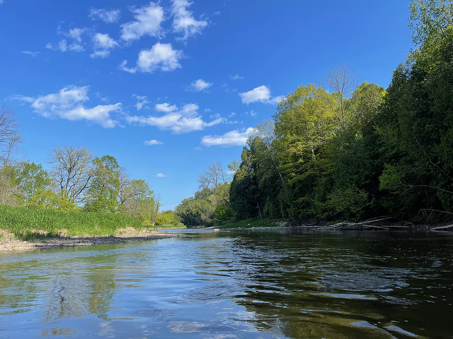
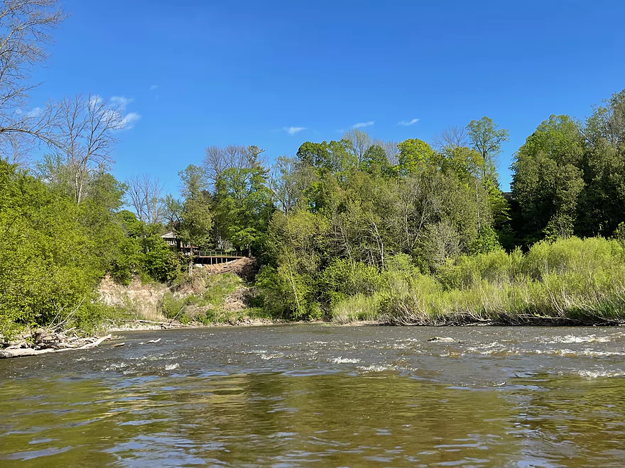
The confluence with the Branch River
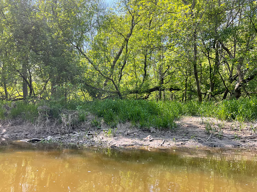
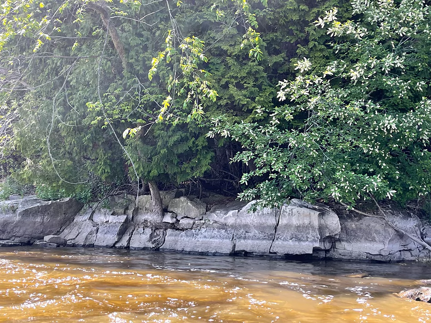
Clams on the river bank
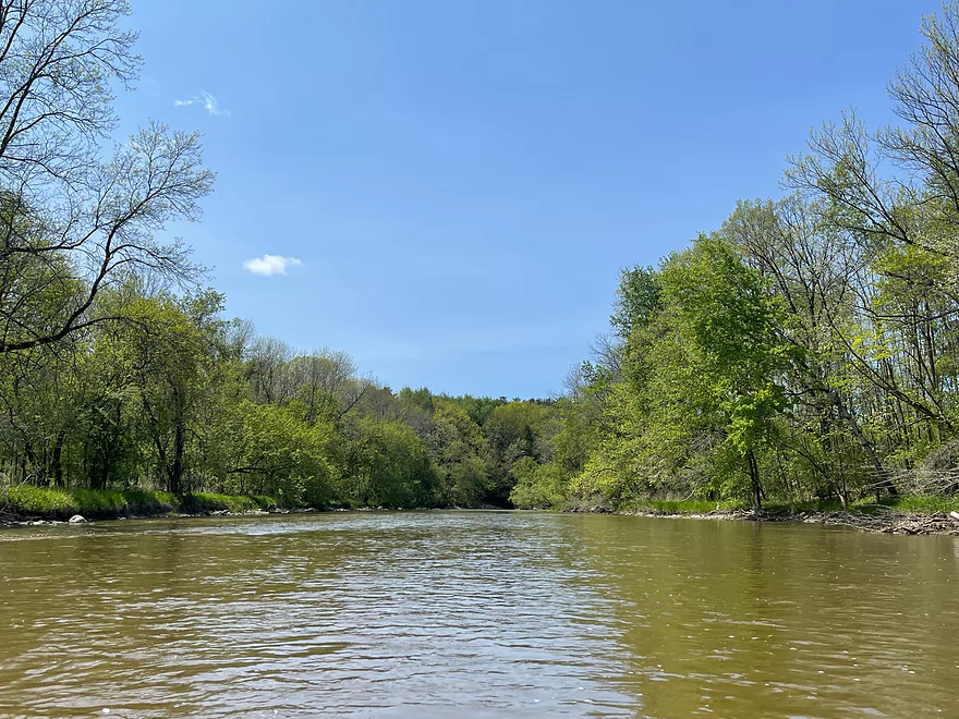
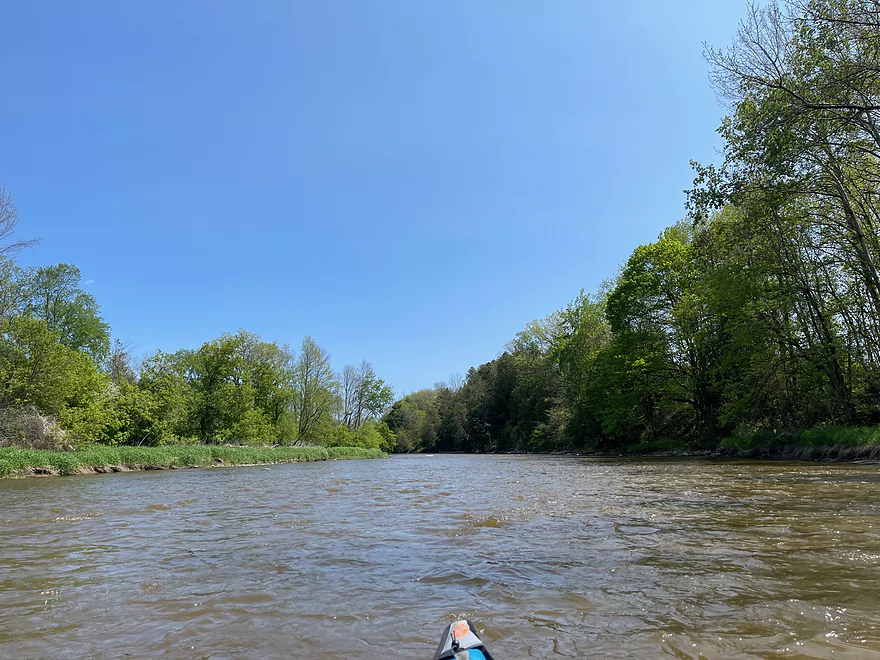
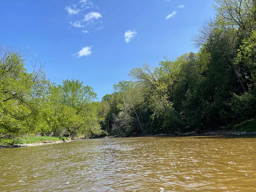
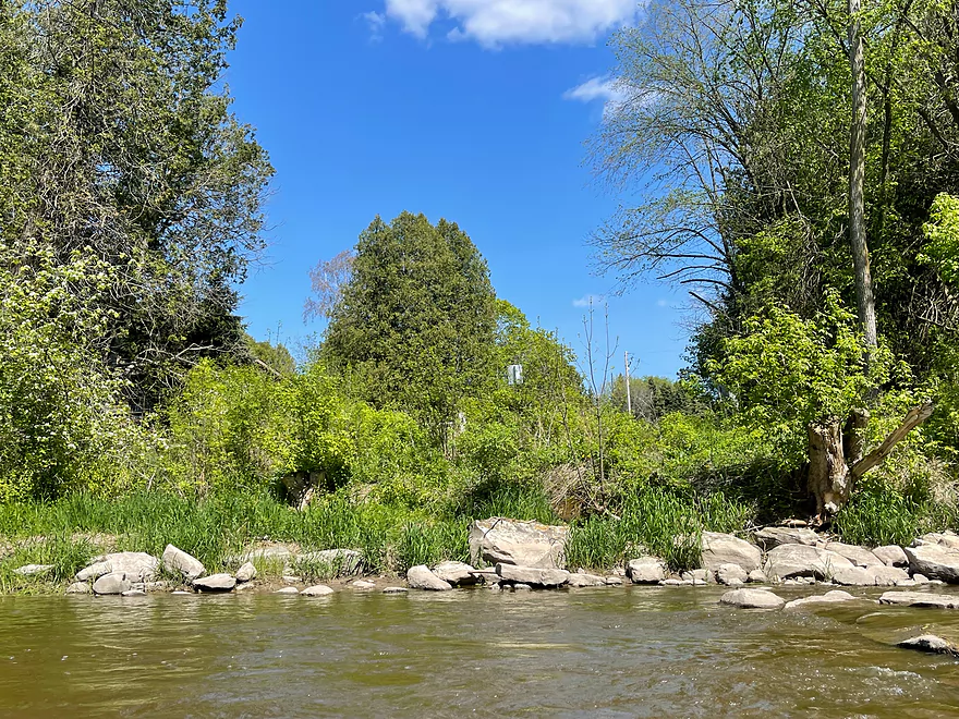
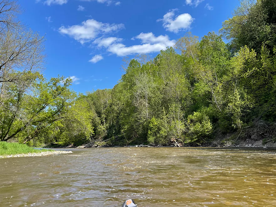
Calmer water but still quick
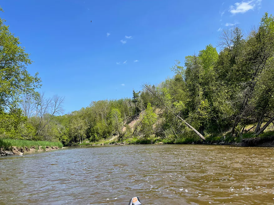
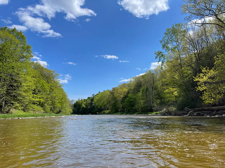
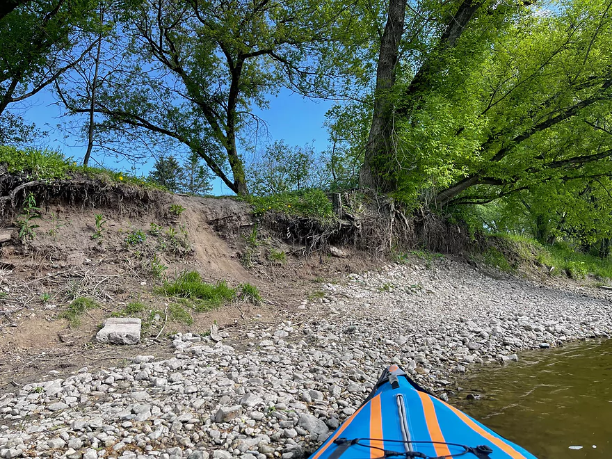
Steeper banks
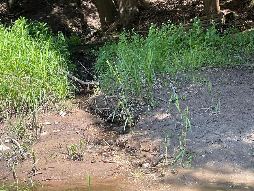
A small stream
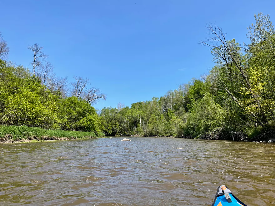
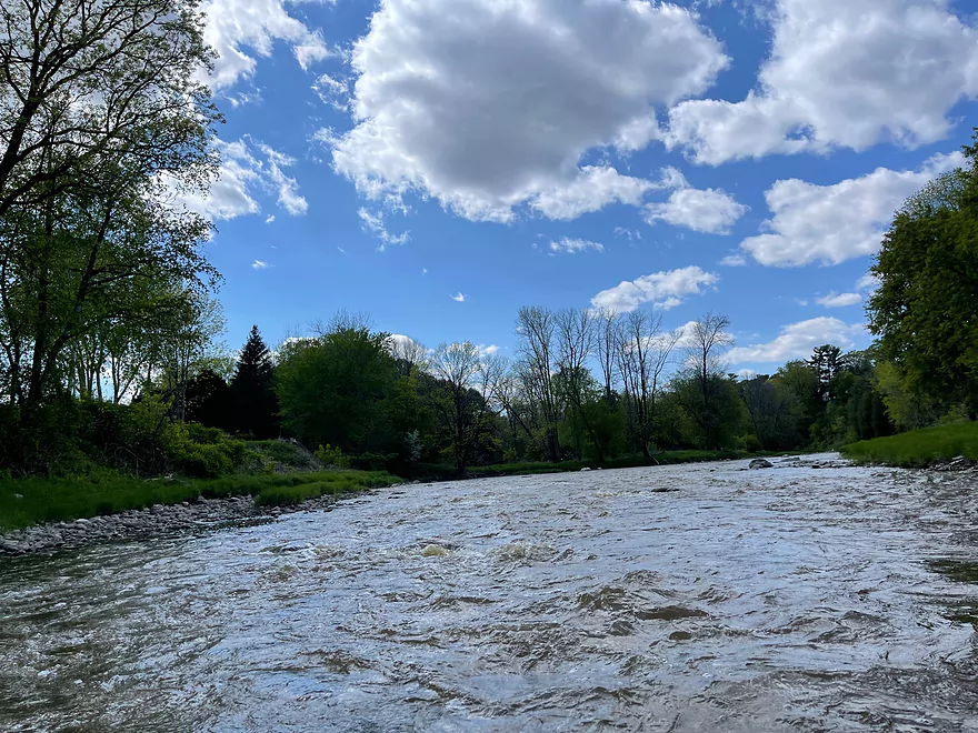
The start of the long rapids section
Access point at Logwood Lane
Class I rapids to start out
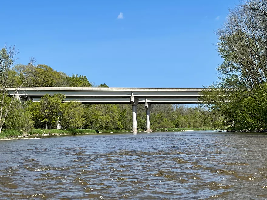
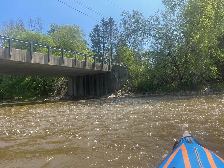
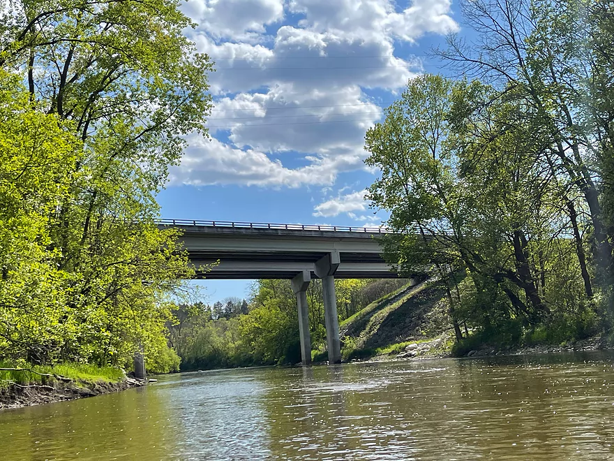
I-43
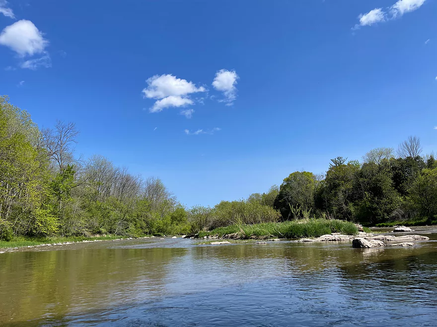
A very brief calm spot with an island
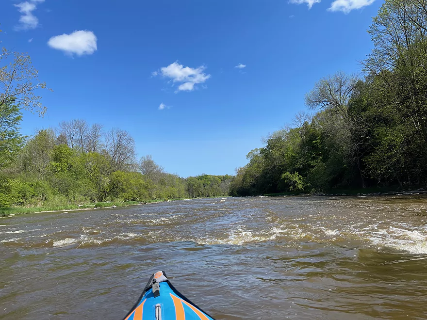
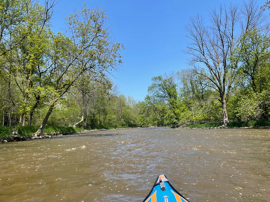
Rapids pick up in intensity
Water calms down after the long stretch of rapids
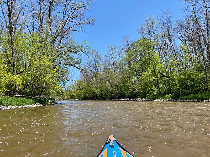
Water starts to slow down at the bend near Rapids Rd
A brief stretch of riffles
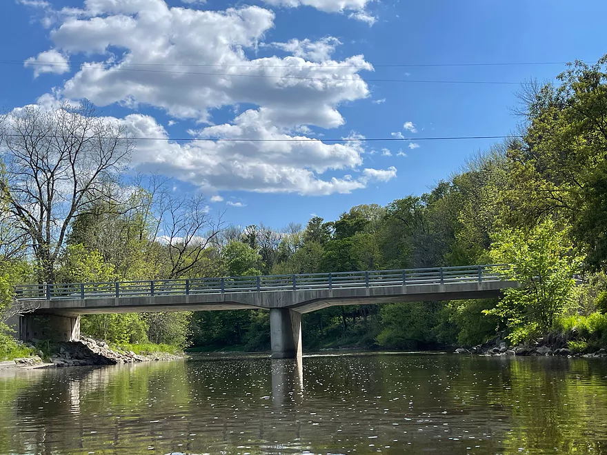
Hwy 10 bridge
Michigan Ave bridge
Last set of rapids
Take out at Manitowoc River Access Park
Manitowoc River – Union Rd to Manitowoc River Access Park

The Manitowoc River is a fast moving river with many Class I and II rapids on its descent towards Lake Michigan. It’s the river with the most “action” in the Lake to Lake region.
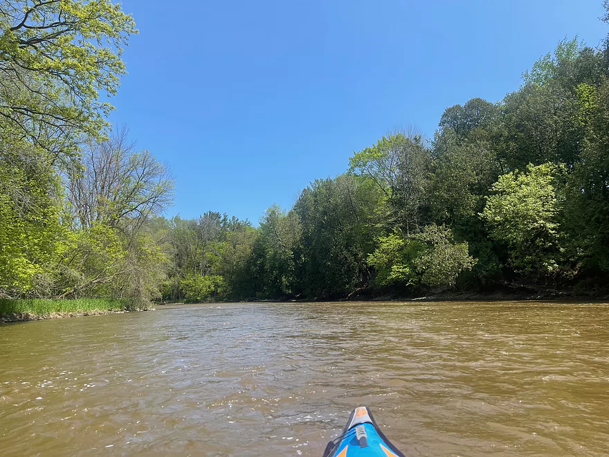
From Union Road, the river moves at a fast clip with some riffles to start out with. The water moves fast even in areas that do not have riffles or rapids. There’s occasional light rapids up until the confluence with the Branch River. After that point, the river continues to move rapidly with occasional riffles up until Logwood Lane.
After passing the Logwood Lane access, the river picks up with a long stretch of Class I and II rapids. The river passes underneath I-43 which is the most exciting portion of the trip.
After about a couple miles, the pace of the river slows down after an island and a bend near Rapids Rd. The river then passes under Hwy 10 and Michigan Ave. The river continues at a slow pace with a few occasional rapids up until the access park which is at the end of Mill Road.
Thanks Peter for the review! WisconsinRiverTrips.com is always very appreciative of guest reviews, and if you the reader is ever interested in submitting one, you can use this online form.
- Upstream of Collins: The river splits into multiple sections (North Branch, South Branch, Killsnake River, and Cedar Creek). Much of which is navigable but I know little about these parts.
- Hwy PP to Hwy W: 9.0 miles. Technically this upper part is mostly the North Branch. This is doable for paddling, but likely less interesting (broad, straight and slow).
- Hwy W to Quarry Road: 4.0 miles. Likely a simple marsh paddle. Launching from the Collins Marsh dam and Mud Creek is a nicer way to start this leg.
- Quarry Road to County Road JJ: 3.2 miles. Likely a simple, slow, and less interesting section.
- County Road JJ to Leist Road: 2.6 miles. River narrows and becomes much nicer.
- Leist Road to Clark Mills/Dam: 2.2 miles. Shortly after Leist is Upper Cato Falls, which is a fun Class 2 run. After that, the river becomes a slow flowage due to the downstream dam.
- Clark Mills to North Union Road: 6.2 miles. A great section.
- Clark Mills to Hwy S: 2.7 miles. Terrific section with near non-stop riffles, several dolomite outcrops and Lower Cato Falls (a scenic Class 3 ledge).
- Hwy S to North Union Road: 3.5 miles. Good section with many riffles, attractive wooded banks, and a few boulder gardens.
- North Union Road to Manitowoc River Access Park: 11.3 miles.
- North Union Road to Michigan Ave: 9.0 miles. A great stretch with a nearly mile-long section of Class 1-2 rapids under I43. Michigan Ave is a sketchy take-out (you may have to park your vehicle further away from bridge), but it should be doable. For alternate launch options on the Branch River see AmericanWhitewater.org.
- Michigan Ave to Manitowoc River Access Park: 2.4 miles. River is slower with less rapids but should still be nice.
- Manitowoc River Access Park to Lake Michigan/Maritime Drive Beach: 4.5 miles. Nice prospect through downtown Manitowoc. Highlights include the ship building factory, the Wisconsin Maritime Museum, and the mouth on Lake Michigan. If you’re lucky, you can see a ship go under one of the drawbridges. Several alternate landings include Henry Schuette Park and Manitou Park.
One of the biggest tributaries to the Manitowoc River is the Branch River which looks like a good prospect as well.
Trip Map
Overview Map
Photos Size:
An update from Peter. He ran this stretch at much higher levels and it proved to be a positive experience. Checkout the following photos album to see what this leg looks like at 6.95’or 1200 CFS: https://photos.app.goo.gl/YeCkKi86a2vCq71D9
“I went from Hwy S to the Manitowoc River Access point and it only took me 3 hrs. No logjams, water went right over the top of the rocks so there was no getting stuck, it was perfect!”
A safety announcement and PSA. On April 26th, 2026, three kayakers were reported stranded on an island after their kayaks capsized due to the rough whitewater. The local fire department rescued them and you can read the story here: https://www.facebook.com/BranchFireAndRescue/posts/pfbid02RvPY1haqAheVUoJeZNCds8ZKRe1eryFFiwCnNv7n7euGpSPzfRSnBNHpJAo3amt7l The moral of the story is that fast rivers get exponentially more dangerous when higher. Peter did this trip at 245 CFS…but for comparison this incident happened at 1800 CFS.