
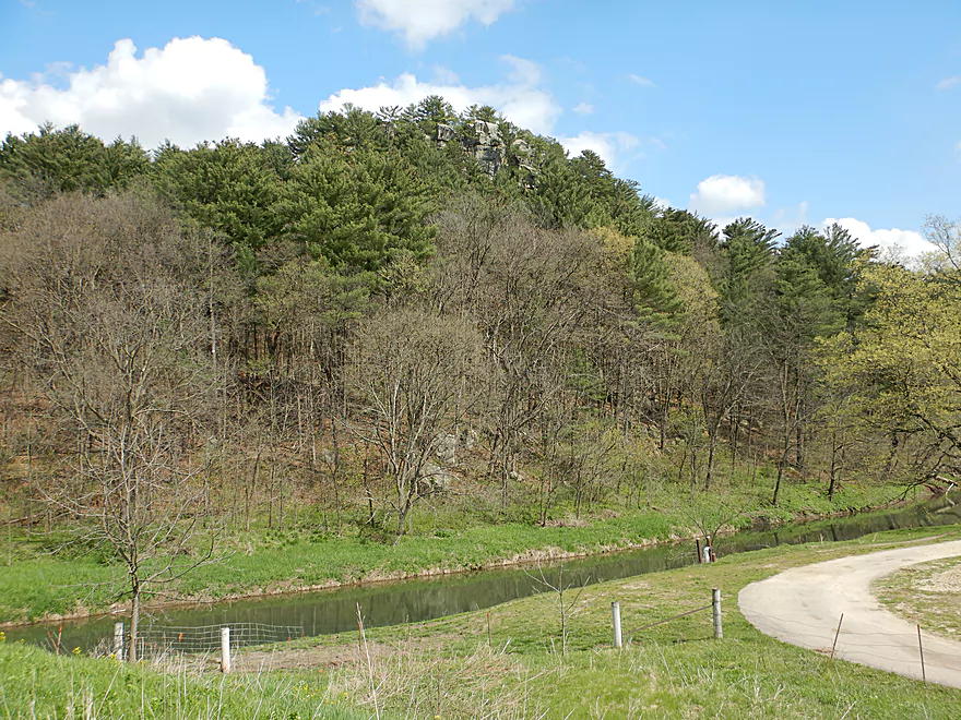
Starting the trip at Castle Rock
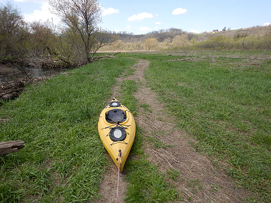
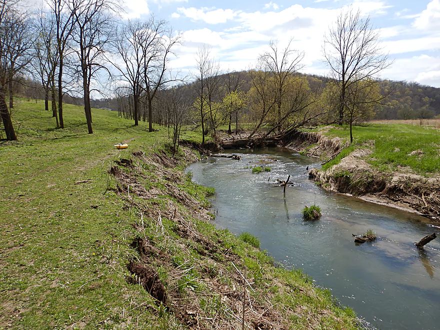
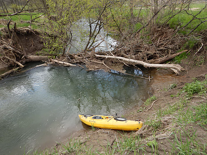
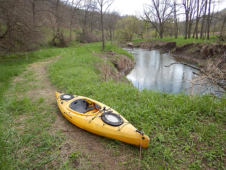
Ok put-in at Hwy Q
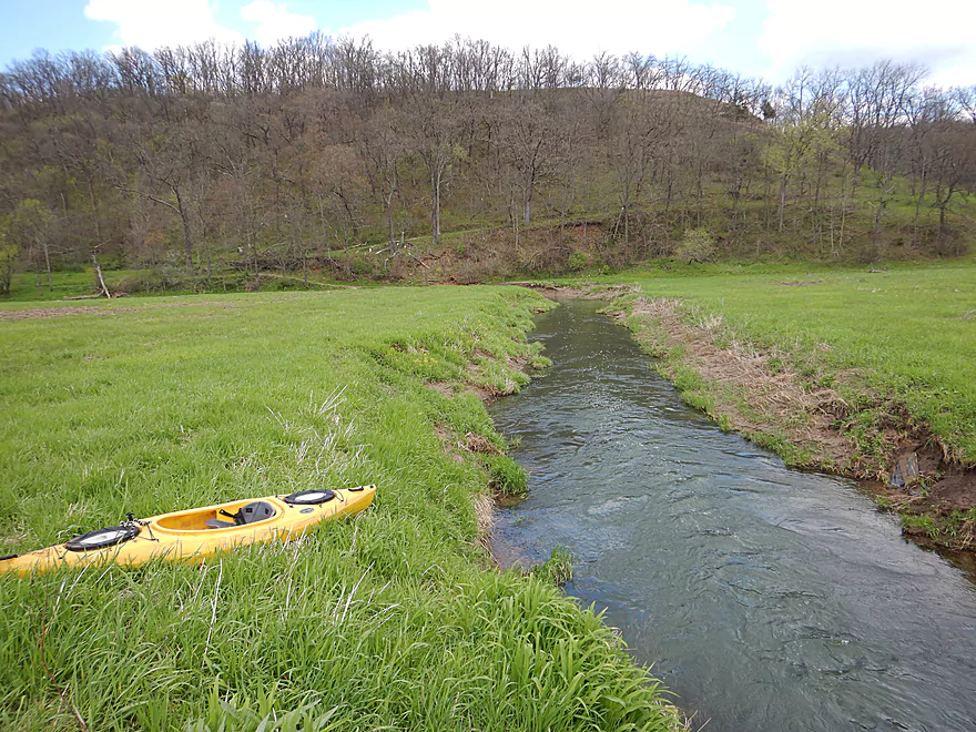
You do have to hike a bit to reach the water
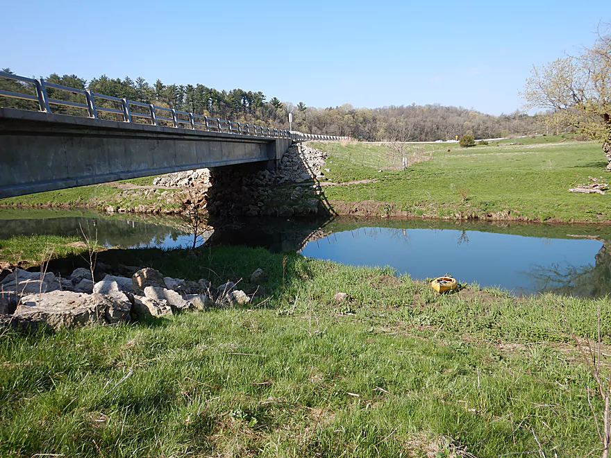
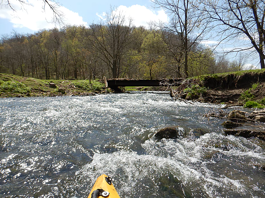
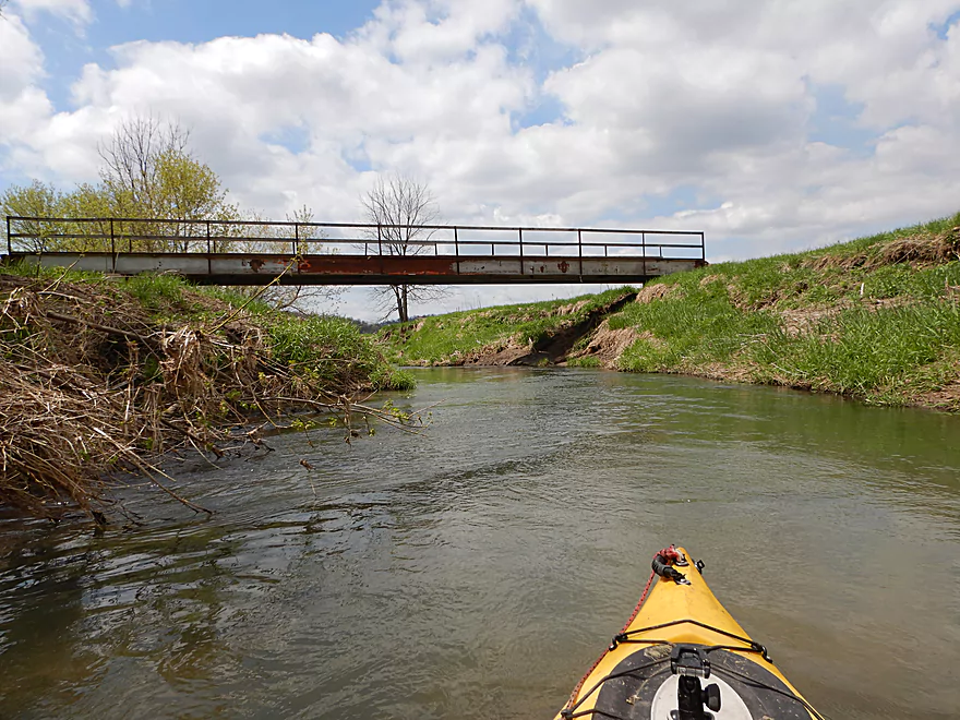
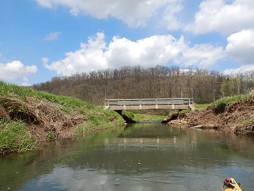
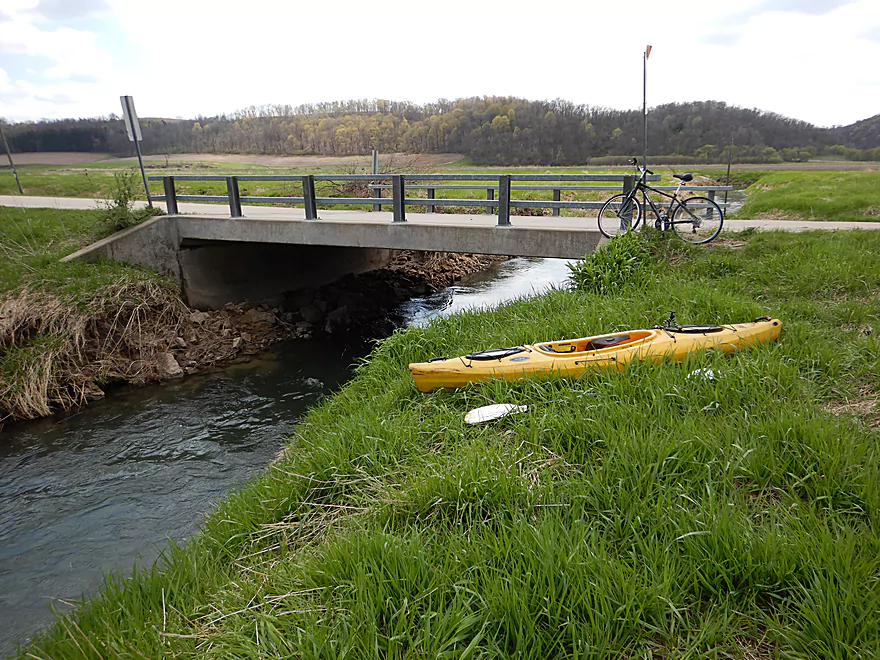
View from bridge
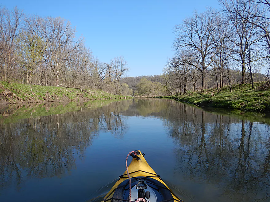
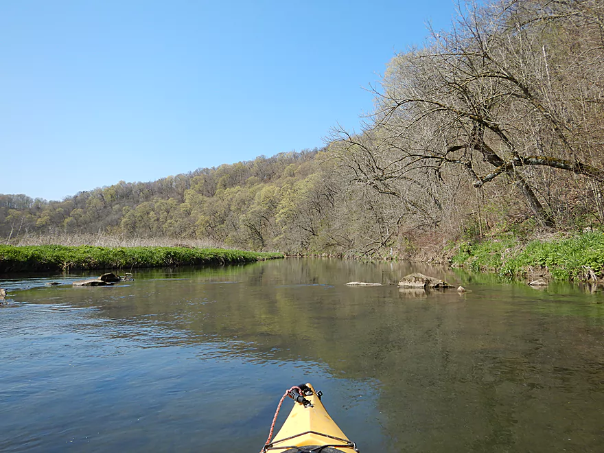
And I’m off
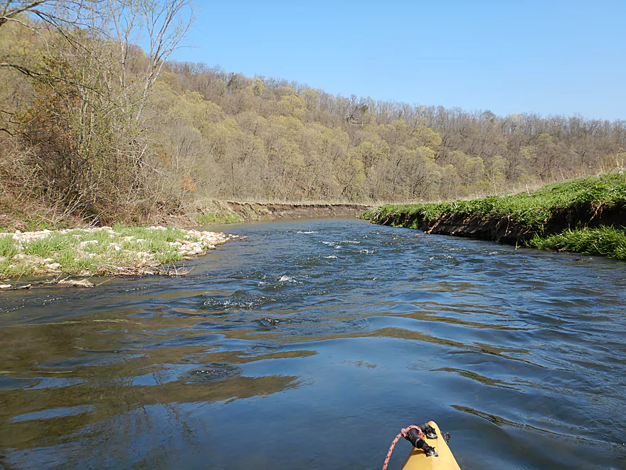
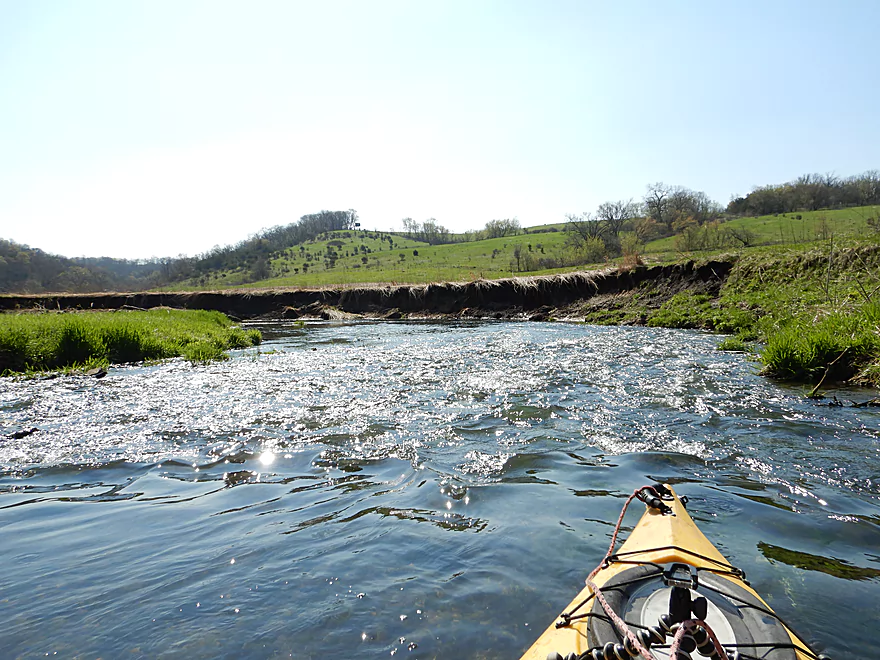
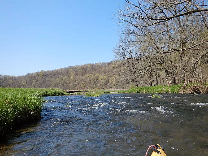
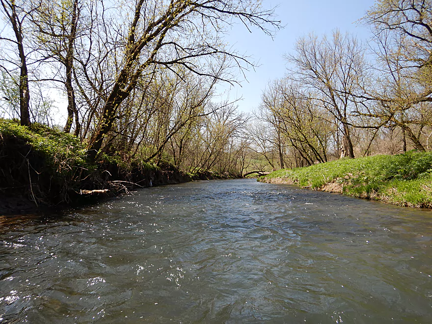
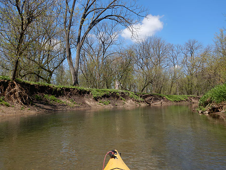
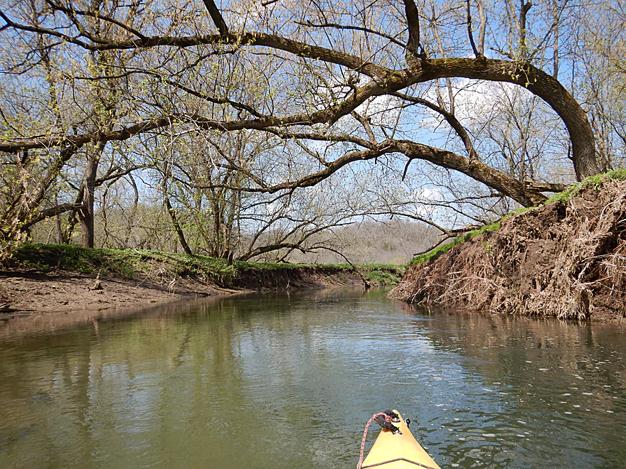
The first of many
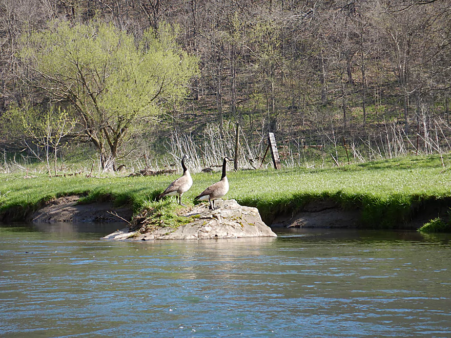
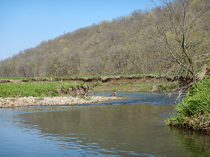
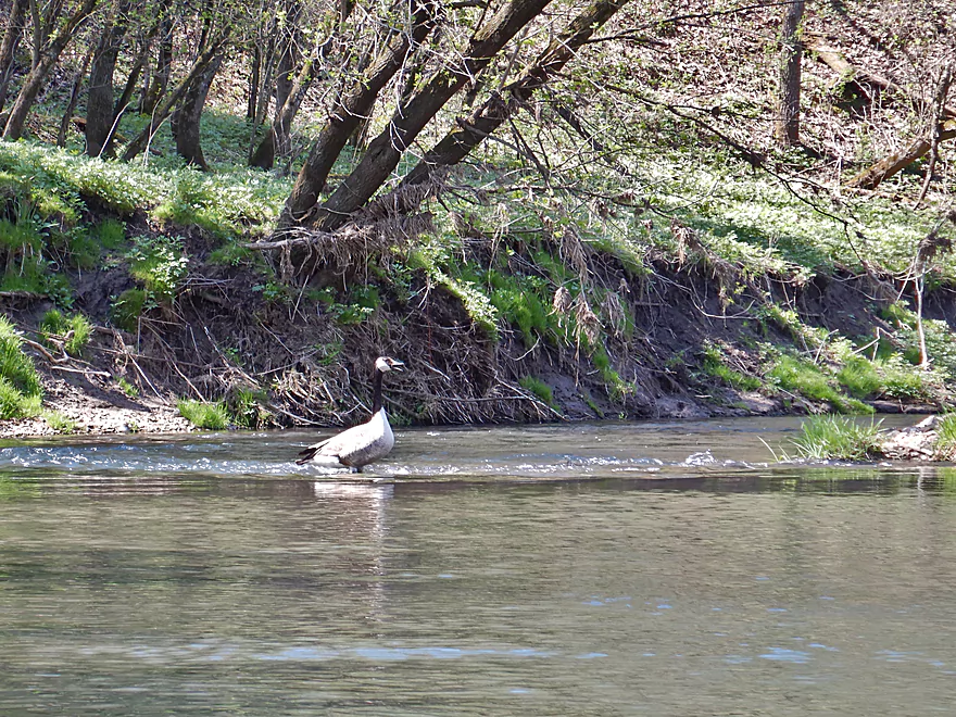
Geese keeping watch on a nearby cow (and me)
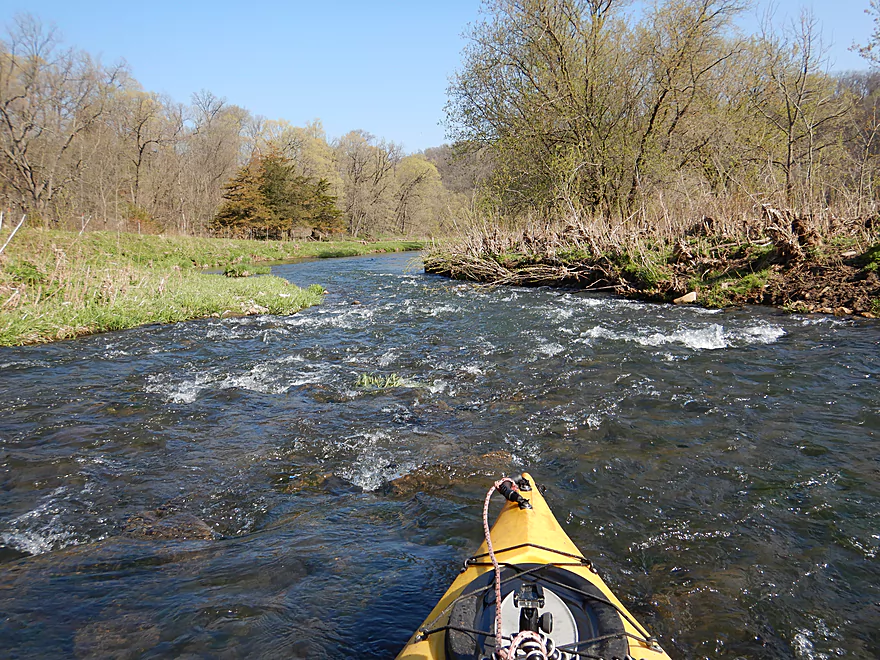
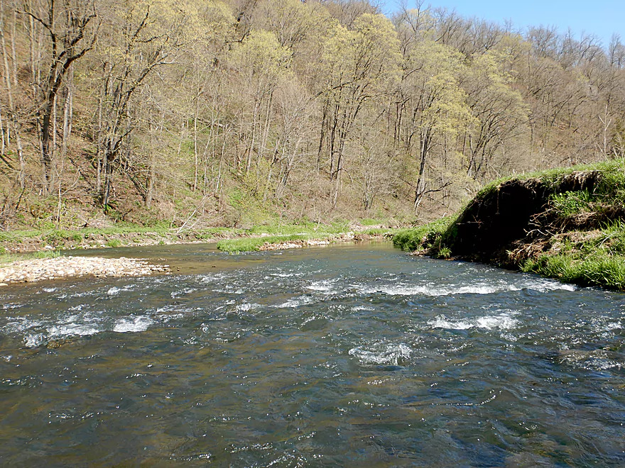
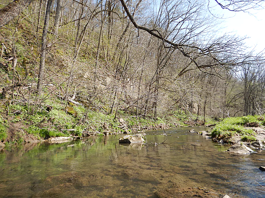
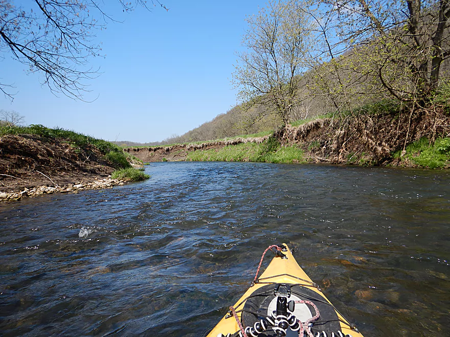
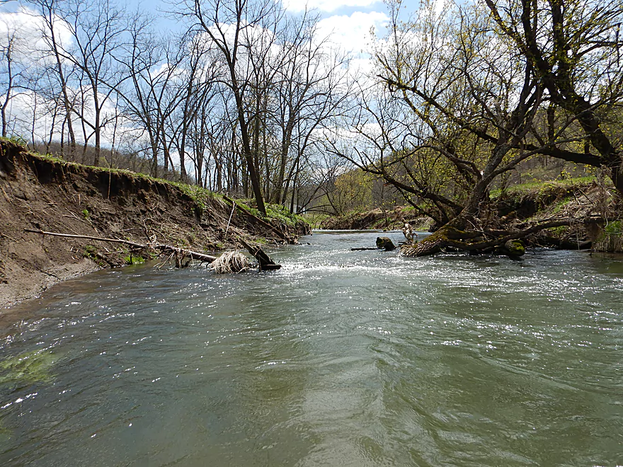
Only boulder garden of the trip

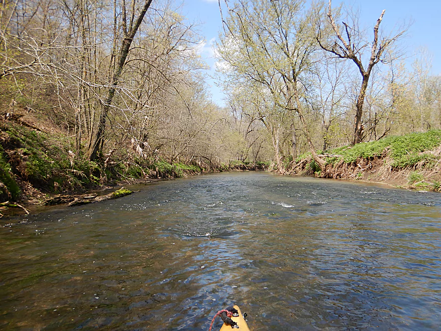
Current stays fast
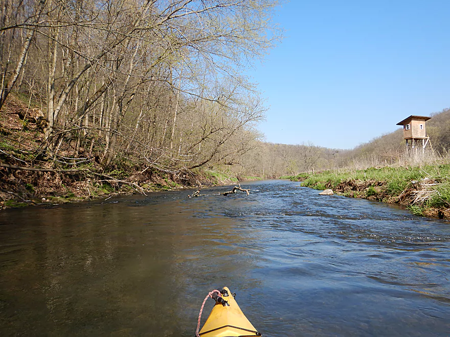
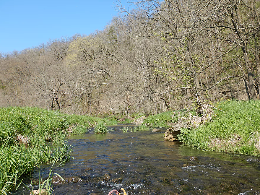
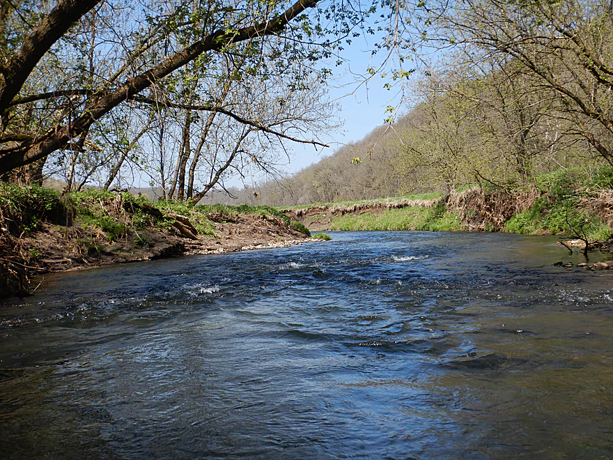
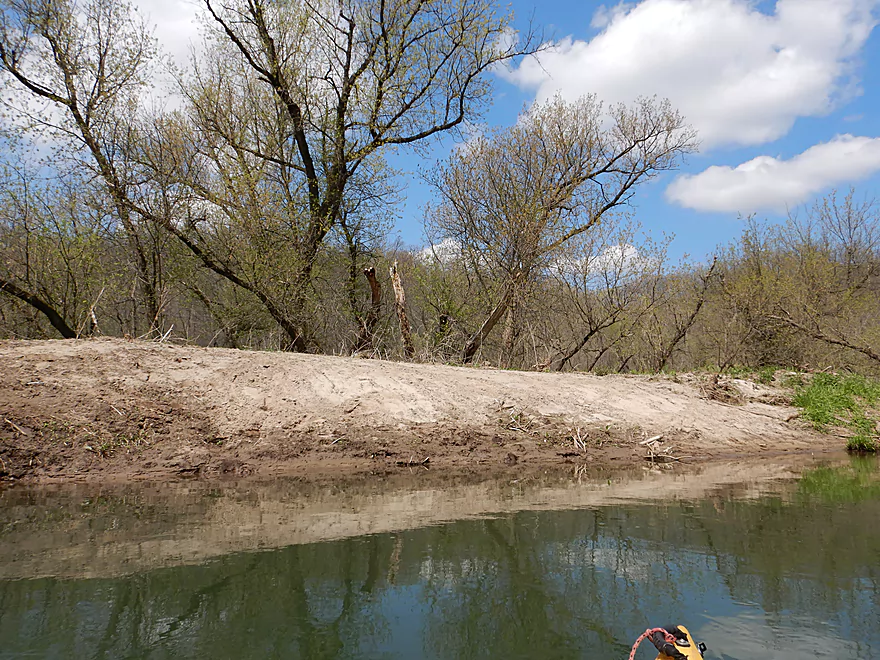
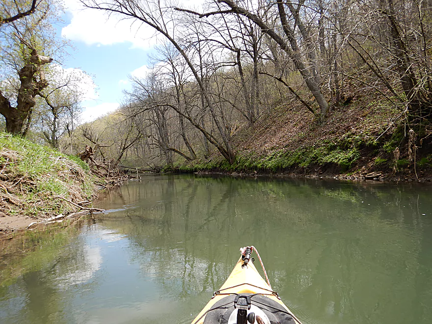
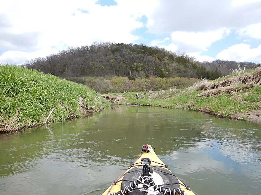
Entering Snow Bottom State Natural Area
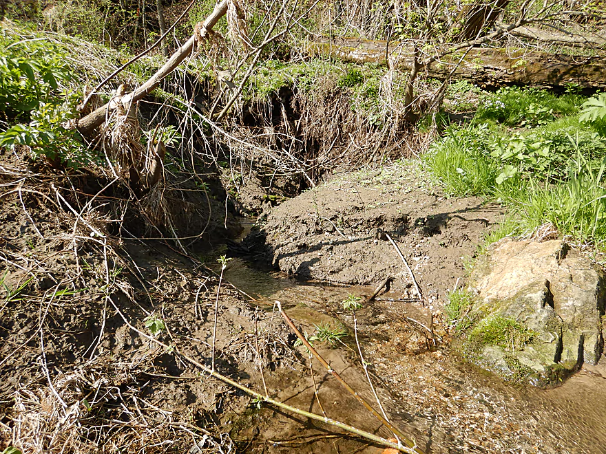
Several natural springs feed the creek
Thankfully there was enough depth to pad the rapids
Random boulder in the middle of the creek
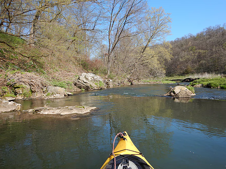
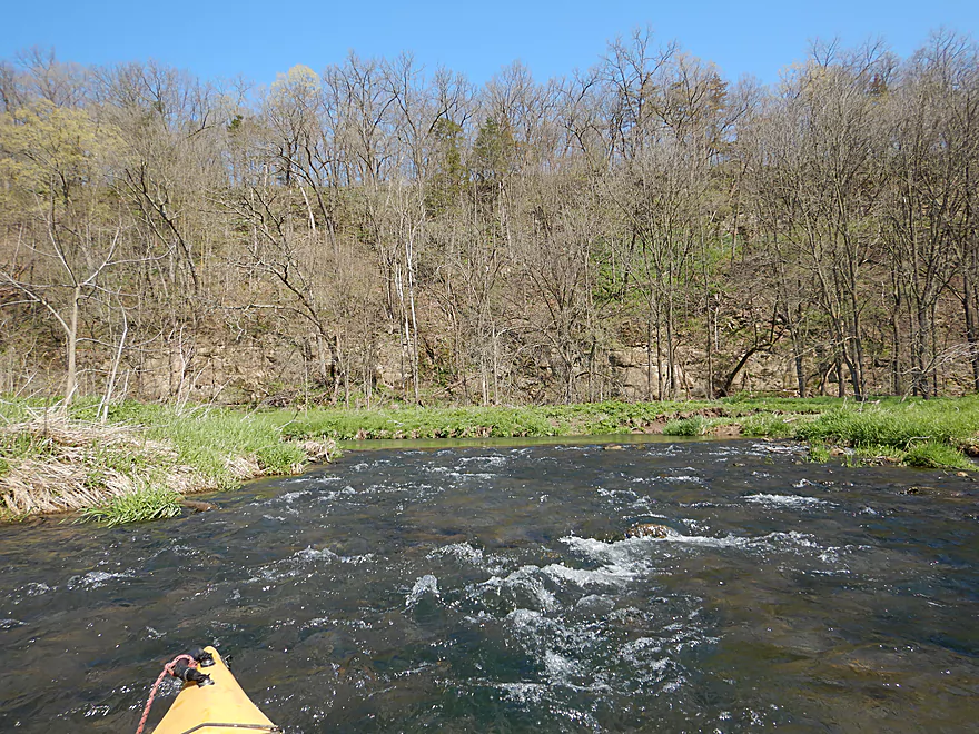
Along the left bank is Cedar Cliff
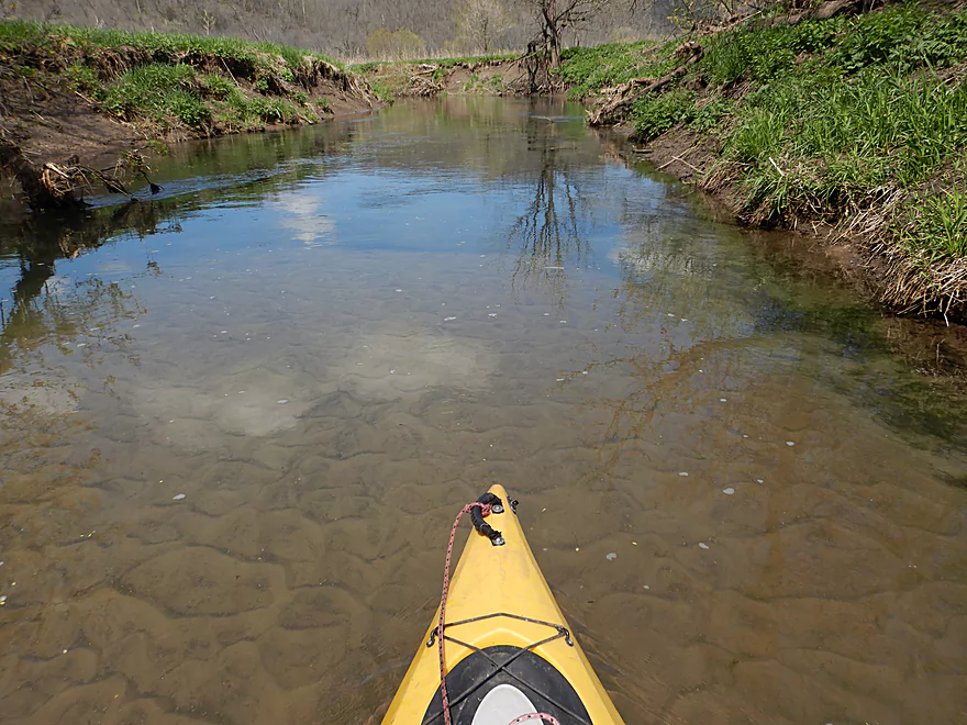
Some mud banks, but good clarity so far
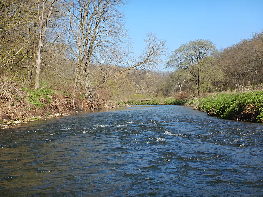
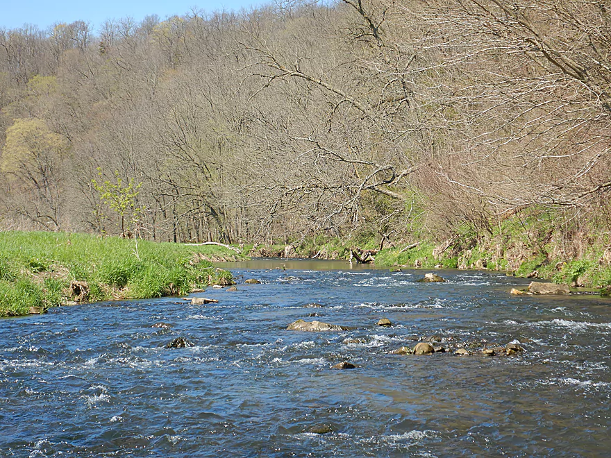
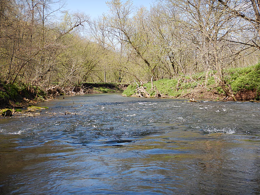
Rapids getting stronger
Reverse view
The only noteworthy outcrop of the trip (partly obscured)
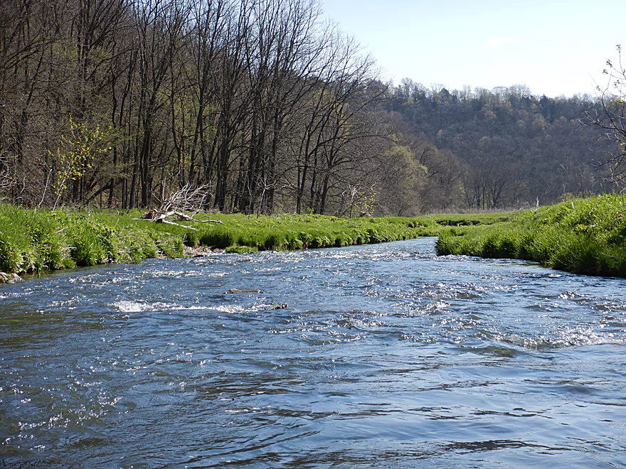
This might be the funnest set of rapids
Reverse view
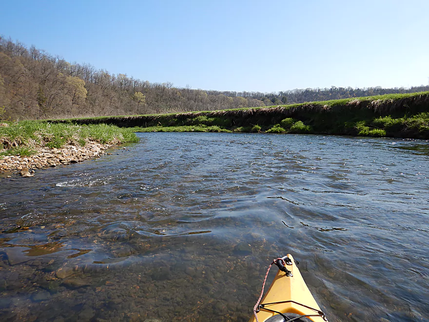
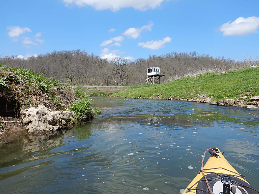
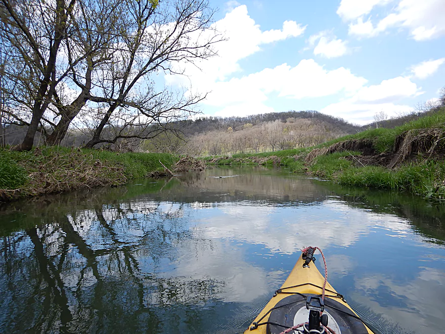
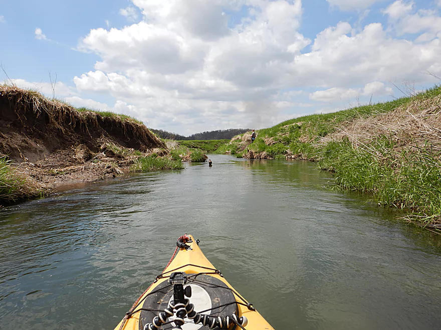
Very open hillsides…unique attribute of Snow Bottom
Another view of those outcrops
In higher water, you can get closer to them via this side channel
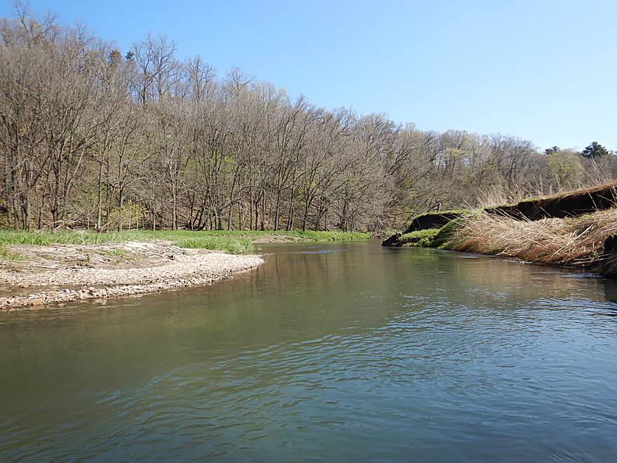
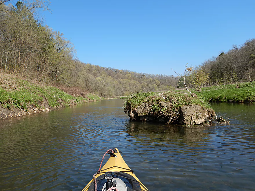
Some gravel bars on the trip

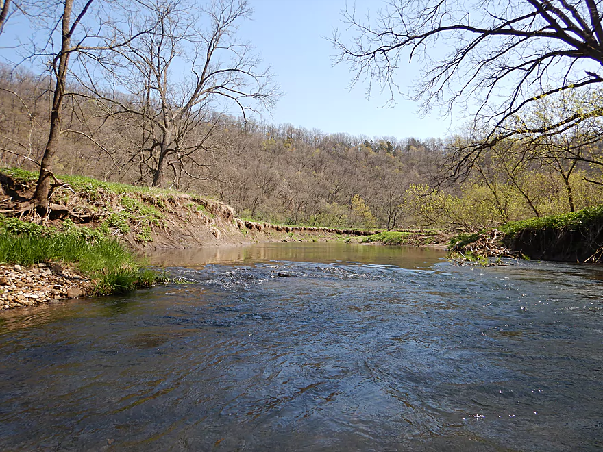
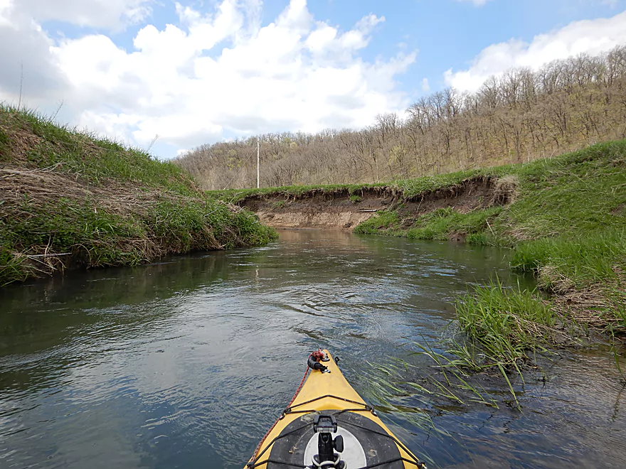
Creek stays fast as it follows a large horseshoe shaped bluff
Some minor rapids
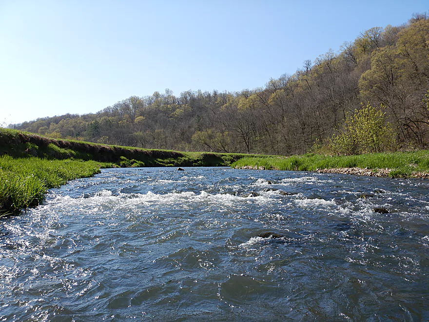
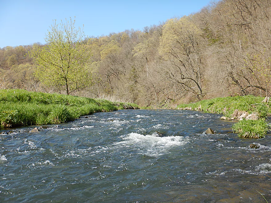
Followed by some much larger and more scenic rapids
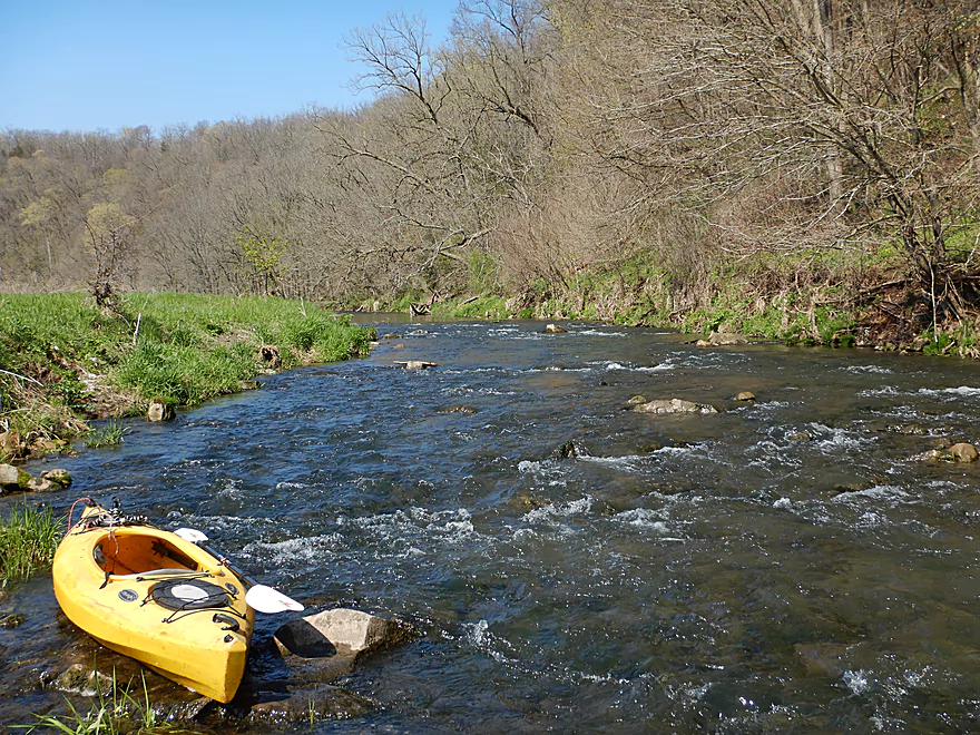
Getting out for pictures
Saying goodbye to Snow Bottom SNA
The creek becomes much wooded after that
Still fast though
Mud banks start to grow in size
Geese standing guard
Though shall not pass…
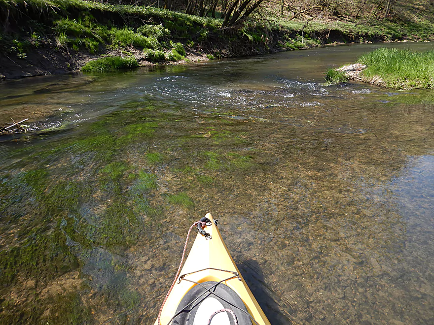
More good clarity
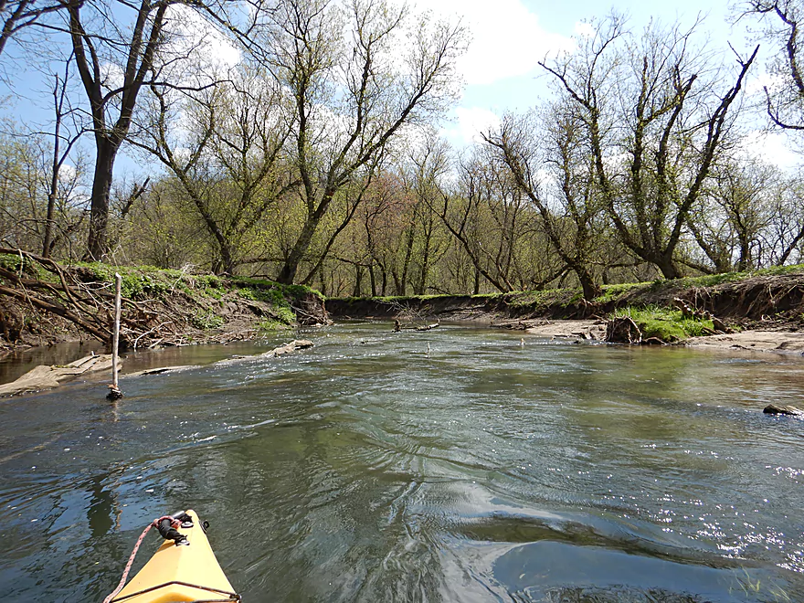
Lot of maples…would be a good fall paddle
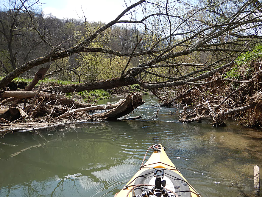
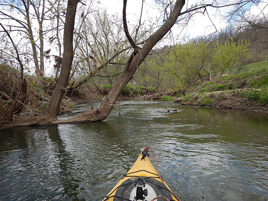
Picking my path through carefully
The creek quality starts to degrade from this point
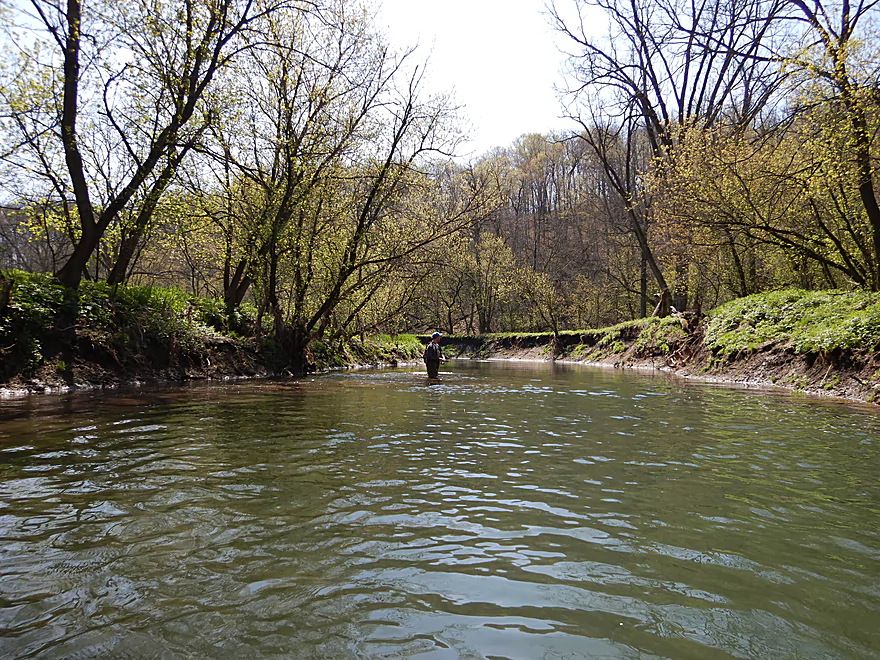
One of a handful of fishermen I met…all friendly
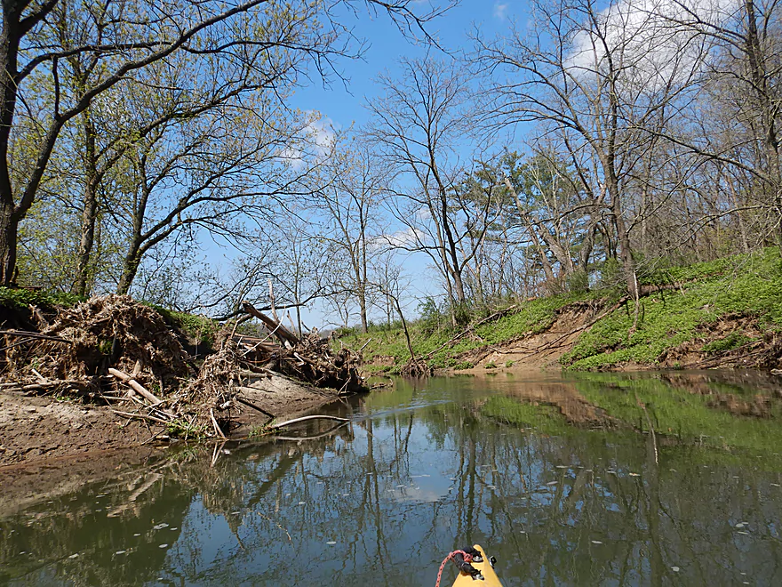
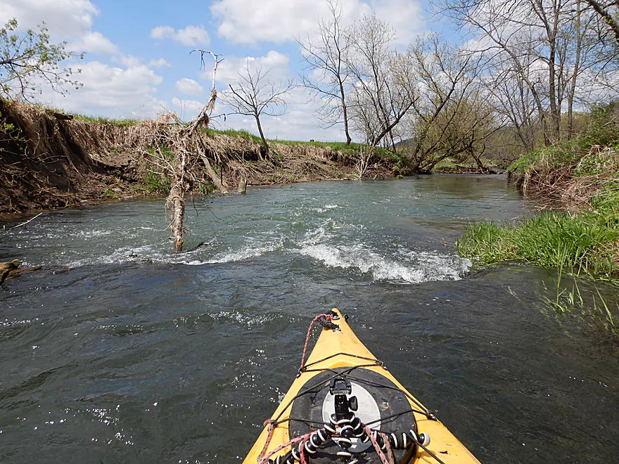
Wounds from recent flooding
Still some nice sections
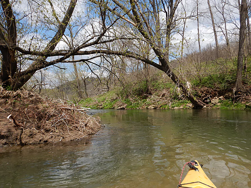
Bent over backward
Entering a sandier section
The banks here look like they’ve been worked on
Back to mudbottom forest
A surprise sandbar
A quaint little island…
With a surprise in the middle
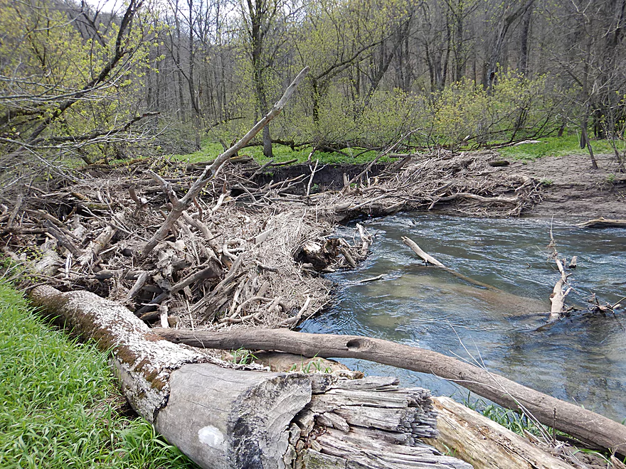
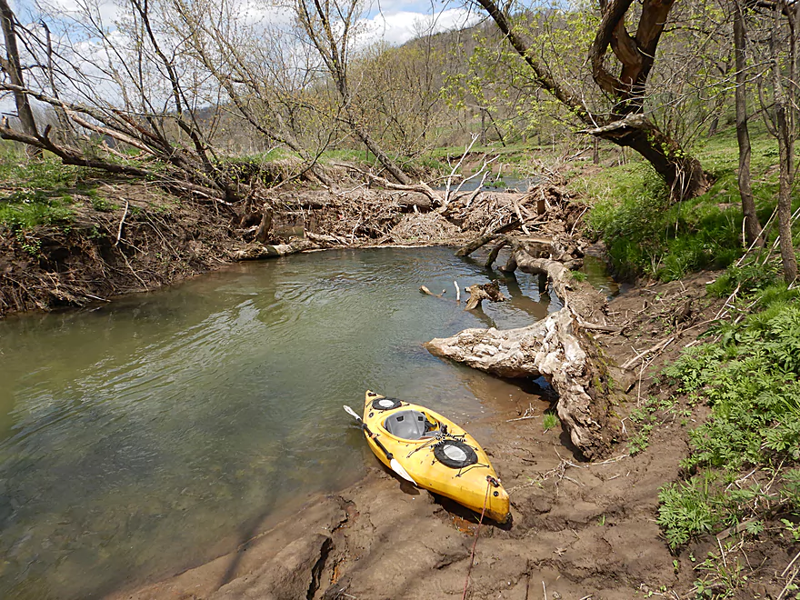
First logjam
Portage wasn’t that difficult
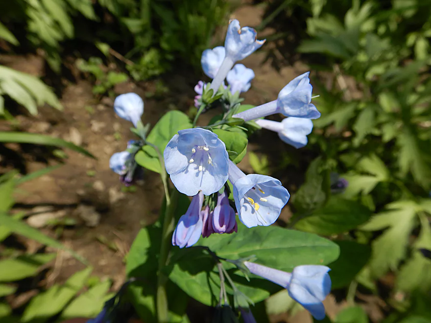
Bluebells
There are actually two logjams, so I’m portaging both in the same trip
Back in the water…still some dodging required
Finally veering away from this bluff and it’s congestion
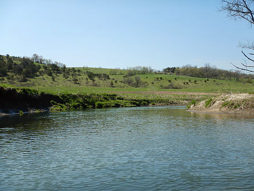
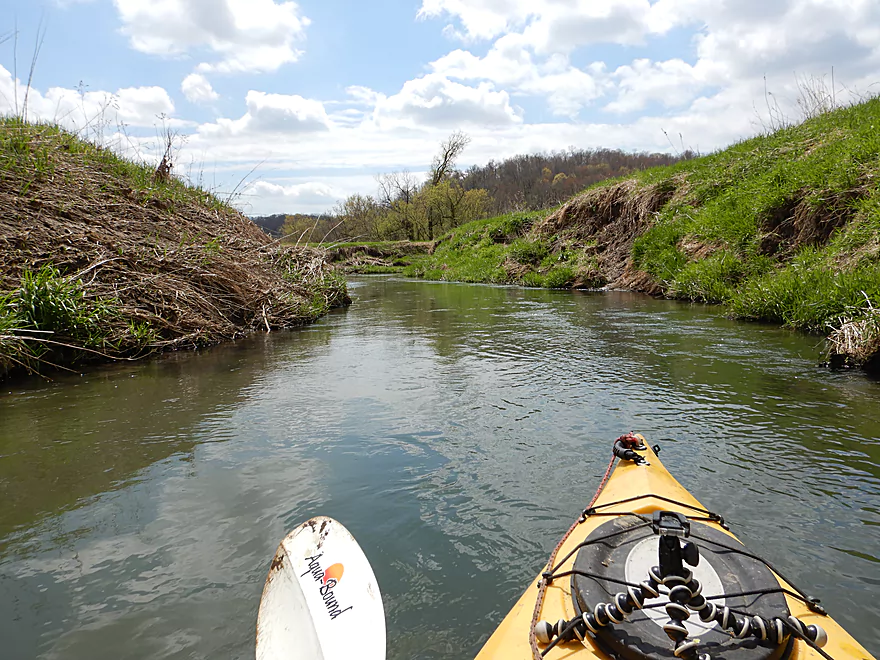
Entering an open part of the creek
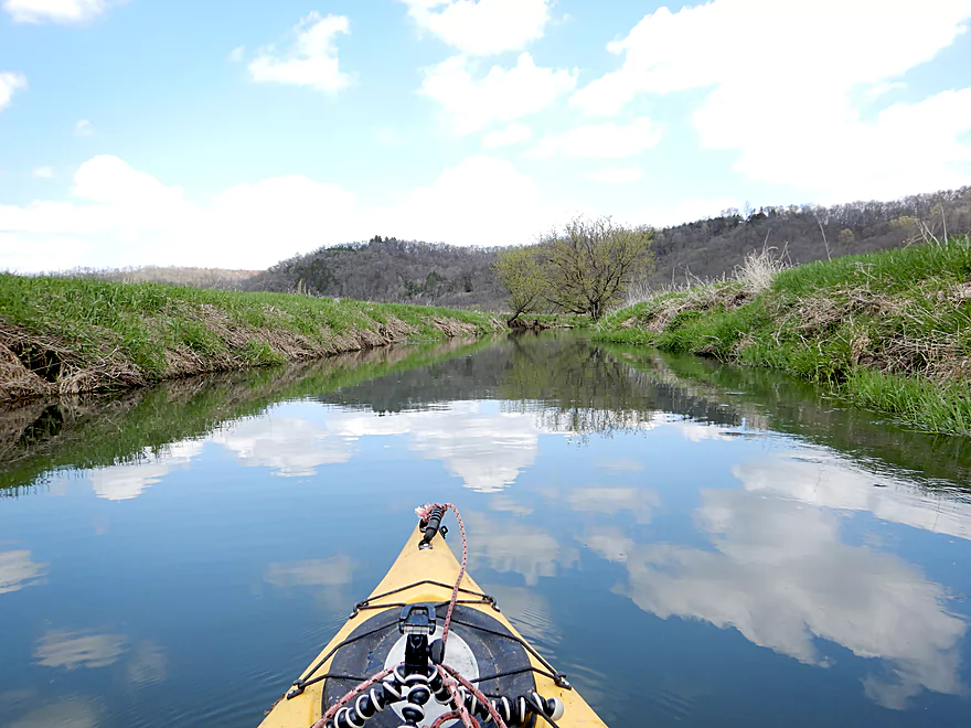
Some cloud reflections
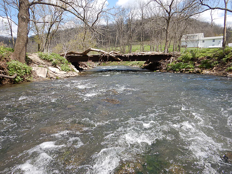
Class 2 rapids by the first pedestrian bridge
Reverse view
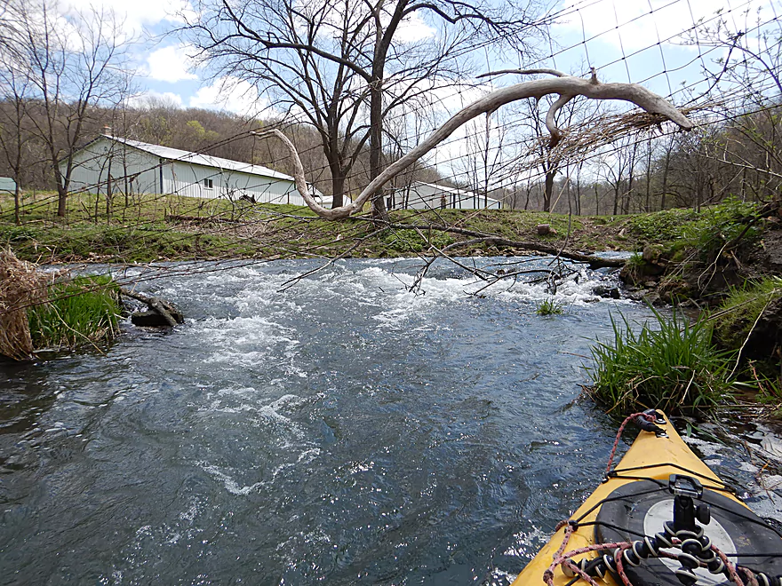
Be wary of a side chute that will push you into this fence
Entering a congested section along Witek Road
Some light rapids
If you’re not paying attention, strainers could give you grief
Time for portage #2
Muddy…but not unbearable
Back in the saddle
This would be portage #3
This was more difficult…you can see how muddy the banks are
The second pedestrian bridge marks an end to all logjams
But not the mud banks
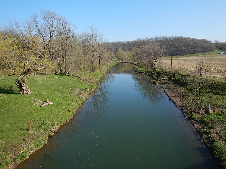
Still some nice driftless vistas
I met several trout fishermen here
Mud banks getting bigger (and redder)
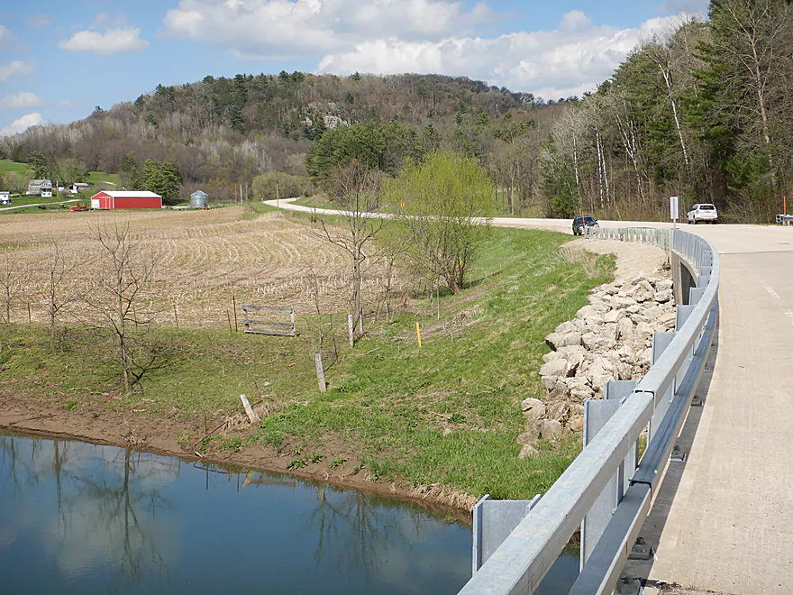
Coming up on Witek Road
Not great for taking out, but doable
Not many locking options for bike shuttlers
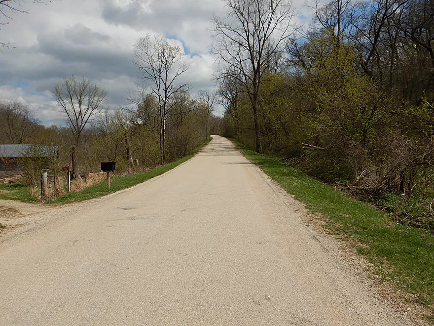
Bike shuttle was hilly…I was winded even walking my bike up
But the shuttle did have its scenic moments
Castle Rock Creek – Snow Bottom

A few years ago I did Upper Castle Rock Creek which while small was a still a neat experience. I intentionally made that a short trip, as I feared the subsequent downstream leg was plagued with logjams. Even though I skipped it, that downstream leg remained intriguing as it flowed through the western unit of Snow Bottom SNA (the eastern unit was a fantastic paddle). With paddling timing is everything…water depth, lighting for photography, leaf conditions, and in this case low grass height needed for portaging. All the conditions came together perfectly and I decided to roll the dice on a prospect that had been on my todo list for a while.
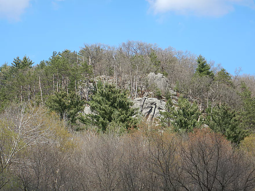
I started at Hwy Q which was where I ended my last trip. For being in a rural setting this was a busy scene with campers under scenic Castle Rock, hikers parked by the bridge, and trout fishermen wading up the creek. To east was a second exposed rock face along Hwy Q.
The trip started with several fun rapids and a curious cow that followed me along the banks. Soon the creek turned sharply left to enter a hidden valley and the start of Snow Bottom SNA. This was a neat scene with open valley floors and steep hillsides on both sides of the river. Turkey vultures soared above the bluffs and in a few instances I saw small exposed rock faces. At the base of the valley the creek ran clear, fast, and over numerous light rapids. Many of the steep hillsides were filled with maple, which could be stunning during fall.
Snow Bottom SNA is of course public and it does attract many trout fishermen. I saw a handful on this trip, two of which caught large trout in front of me. Another lost a lure in front of me and I helped retrieve it.
After a hairpin turn left, the creek exited Snow Bottom. The hillsides were still steep, but the current slowed, the banks became steeper, mud became more prevalent, and scraggly woods started to encroach on the creek. Occasional deadfall appeared in the channel, but I was able to navigate through (so far).
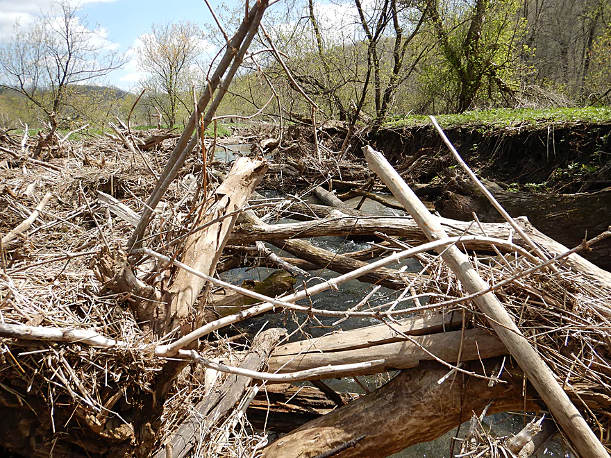
I met a trout fisherman who asked me if I had portaged yet. I said no…to which he smiled and said I would soon. Sure enough a few hundred yards downstream I encountered a massive logjam that had to be portaged. The banks were muddy for portaging, but it wasn’t an awful portage because there was a fishing trail along the north bank. There was a second huge cluster downstream from the first, so I did a combo portage to bypass both.
After some minor debris dodging, the creek opened up with cleaner banks. This was followed by a pedestrian bridge with some decent rapids flowing underneath (Class 2). These were fun, but a bit harrowing as the rapids split around a hidden island. The main channel flowed left and under a fence with a downed tree, which was no-go. I stayed on the right channel, which was bumpy but it worked out.
I was a bit nervous about the section after the rapids, as the fisherman had warned me that there were logjams between the two pedestrian bridges (I had also seen them while driving over). The first logjam was definitely not passable and the banks were muddy, but it all worked out. The second logjam was a bit more difficult. Here the mud walls were steeper and meaner. I did have to back-paddle a bit to find a somewhat workable take-out. With my trusty rope I was able to hoist my boat up and portage around.
I breathed a sigh of relief once I saw the second pedestrian bridge as I knew this would mean no more logjams. The following mile was fairly uneventful. Here the creek meandered aggressively through an open and beat-up driftless valley buried by decades worth of topsoil erosion. The mud banks were huge and unsightly. One had to wonder what this would have looked like a century ago…or if the early plan to convert Snow Bottom into a state park had succeeded.
In summary, this was a Jekyll and Hyde trip. Snow Bottom and the early rapids were fantastic. But the stream quality just deteriorated in the second half of the trip with the mud banks and three logjam portages being serious downers. It was still a neat experience and there were much less logjams than I had feared, but this will likely only be a paddle for the adventurous. Given that there are two Snow Bottom paddles (Castle Rock Creek vs Blue River), one might naturally ask which is better? Definitely the eastern unit on the Blue River…it’s cleaner, less beat-up, more outcrops, more boulder gardens, more pines, less mud and overall better scenery. If you have a choice, do that one.
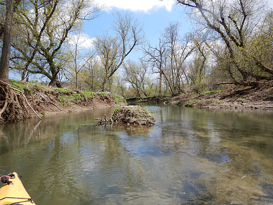
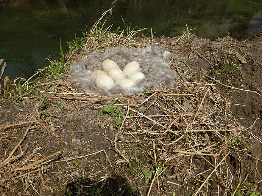
Many songbirds, some singing frogs, one deer, several vultures soaring above the bluffs, a few turkeys and a cow that followed me (likely thought I had food). Like practically every paddle I do, I saw Canadian geese. In once instance there was a micro-island smack middle in the channel. When I came up on it I saw a nest with 7 eggs. The geese were likely using the creek as a natural moat to protect their eggs from raccoons and other vermin. The highlight of the trip though were the trout, which Castle Rock Creek is famous for. I never saw them directly, but did frequently see their splashing near the surface. In two separate cases, a trout fishermen made a catch directly in front of me.
Hwy Q was an ok put-in with a suitably shallow bank for launching. If you launch here don’t be surprised to see a lot of cars parked on the shoulder, as it is a popular staging area for both trout fishermen and Castle Rock hikers. Shoulder parking is a bit narrow and the best spots may be taken during weekends. Because of the long guardrail, you’ll have to drag your boat 200′ down the grass embankment.
There are numerous alternate upstream put-ins. For more information see my previous Castle Rock Creek review or check out my overview map.
I took out at Witek Road which is a popular staging area for trout fishermen. Shoulder parking was adequate, but the banks here were a bit steep for taking out. If you scout the bridge before your trip, you should be able to find a suitable take-out bank.
The bike shuttle was 5.0 miles with 410′ of hill climbing (aka very hilly). In one case there was a 285′ hill that was a mile long…not fun.
Current: The current was very fast, but did slow somewhat during the second half of the trip.
Logjams: I feared much worse, but there were only three portages on the trip (marked on the map).
- The first logjam portage was roughly at the halfway point and consisted of two large clusters. The banks here were a bit muddy but it was a manageable portage, made much easier by an adjacent trout trail.
- The second appeared shortly after the first pedestrian bridge. The banks here were steep and muddy, but I did find a sweet spot for taking out. Be mindful of cow pies when portaging.
- The third and last showed up just before the second pedestrian bridge. Of the three, this was the most difficult because the banks were at their steepest and muddiest. I had to backpaddle a bit to get out and still got pretty dirty. See pictures for context.
- There were also a few other duckers and hoppers (mostly near the first logjam cluster). I got through easily enough, but these could be portages at different flow rates.
Rapids: There were numerous light rapids, with most concentrated in the first half of the paddle. There was one Class 2 that should be taken seriously. It was located under the first pedestrian bridge (marked on the map). These rapids started easily enough but after the bridge got much rougher. The big trick was that the rapids fork around an island with the main flow going sharp left…and through a fence. I paddled hard to stay in the right channel which worked. If in doubt, get out and scout. All the other rapids are easy and no more than Class 1.
This is a shallow river that should only be run at high flow rates to ensure adequate padding for the rapids. There is no gauge on either branch of the Blue River, so I’m using an approximate gauge on the Platte River which I suspect may not be representative.
- <120 CFS: This might be too bumpy to paddle.
- 121-145 CFS: An average depth that is likely viable but pretty bumpy. Some rapids may have to be walked.
- 146-200 CFS: Above average depth. A good target range to sufficiently pad the rapids. I did the trip at 168 CFS which was a good depth.
- 201-240 CFS: A high depth that could have fun whitewater, but some low hanging branches could morph into tricky strainers.
- 241-300 CFS: A very high depth, perhaps only suitable for experienced paddlers.
- 301+ CFS: Maybe too high for paddling? Channel could be dirty, fast and filled with strainers. All my figures are guestimates so take them with a grain of salt.
Castle Rock Creek (aka Blue River – Fennimore Branch):
- Upstream of Hwy Q1st: The creek is probably too small to run.
- Hwy Q1st → Homer Road: 0.5 miles. Very small. A simple cow pasture paddle that probably isn’t special. Homer Road is not a great take-out…small, near a home, and a nasty pit bull chased me when I tried to scout this bridge.
- Homer Road → Hwy Q2nd: 0.3 miles. Simple open section through overgrazed and eroded banks. The second Hwy Q bridge is a decent access used by fishermen, but there is nowhere to park.
- Hwy Q2nd → Church Road: 0.4 miles. Paddle goes by a steep hillside and quarry. Maybe some interesting geology.
- Church Road → Hwy Q5th: 3.1 miles.
- Church Road → Hwy Q3rd: 1.2 miles. A nice open pasture section with many riffles, but one I-beam to portage.
- Hwy Q3rd → Hwy Q4th: 1.1 miles. A neat section with many rapids that goes by Cedar Cliff.
- Hwy Q4th → Hwy Q5th: 0.7 miles. Shallowest part of the creek during low water. Some neat geology in this section with more great rapids and a spectacular view of Castle Rock. Hwy Q5th is a doable take-out but does require some dragging to get past the guardrails. Many hikers park by the bridge before climbing Castle Rock.
- Hwy Q5th → Witek Road: 7.3 miles. River flows through a massive hidden valley flanked by steep hillsides. Includes the western unit of Snow Bottom State Natural Area. While mostly open, the river does have three logjams that must be portaged. After Snow Bottom, the river loses most woods, gains a lot of mud, and flows through farm country.
- Witek Road → Neff Road: 3.9 miles. A farm pasture paddle with likely a number of downed trees (maybe 7 portages).
- Neff Road → Hwy M: 1.9 miles. Mostly open farm pasture paddle. Maybe one logjam.
- Hwy M → Confluence with Blue River: 3.8 miles. Maybe 3-5 logjams.
Trip Map
Overview Map
Video
Photos Size: