
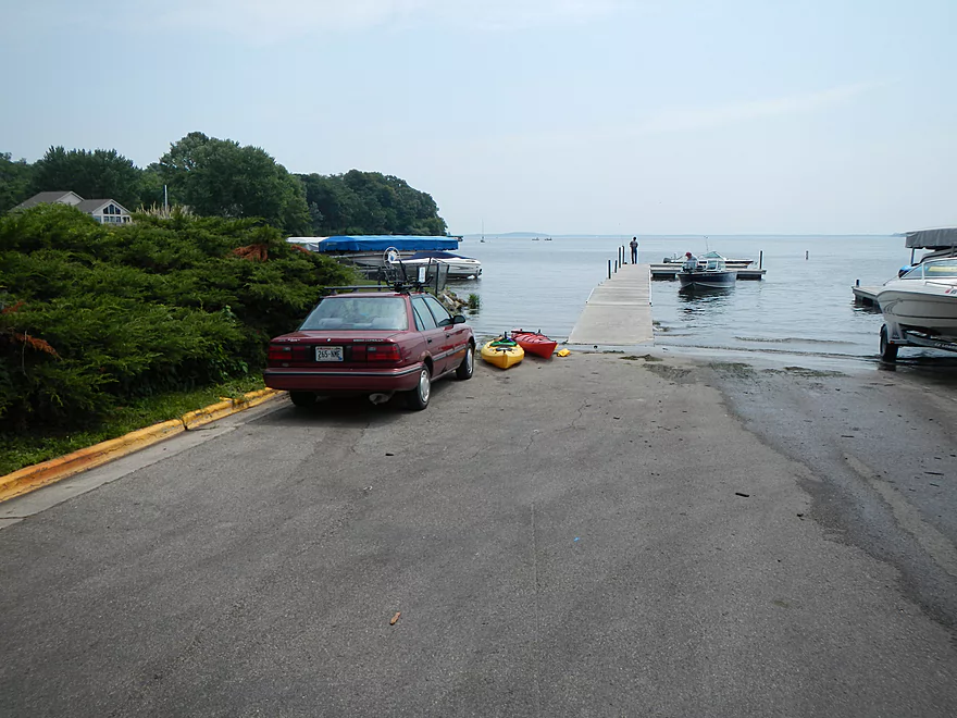
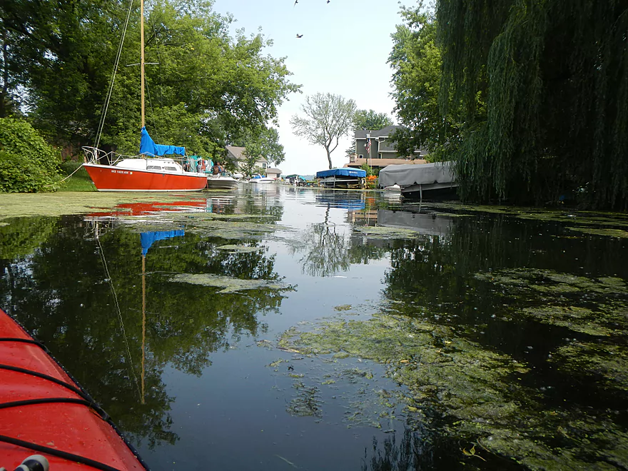
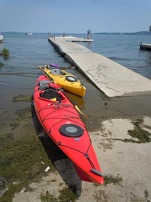
Lake Street Landing
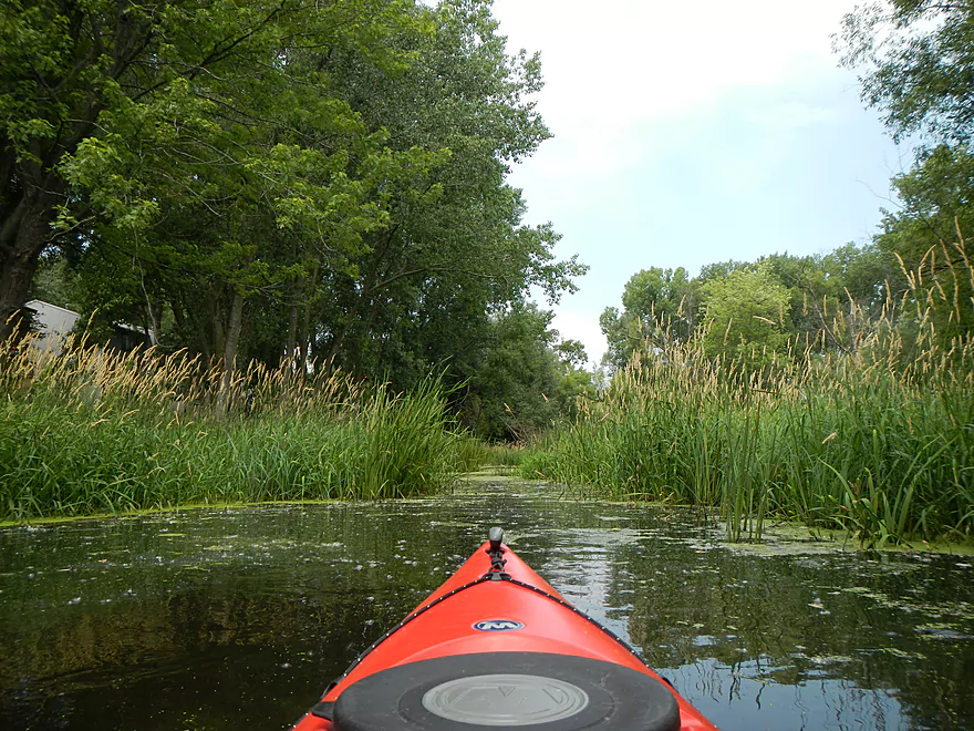
Entrance to Pheasant Branch Creek
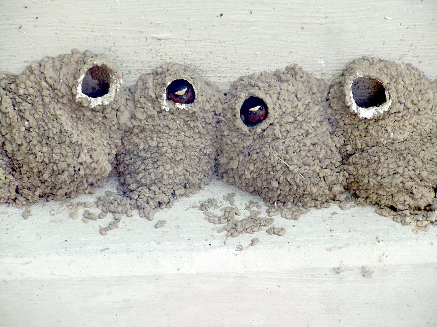
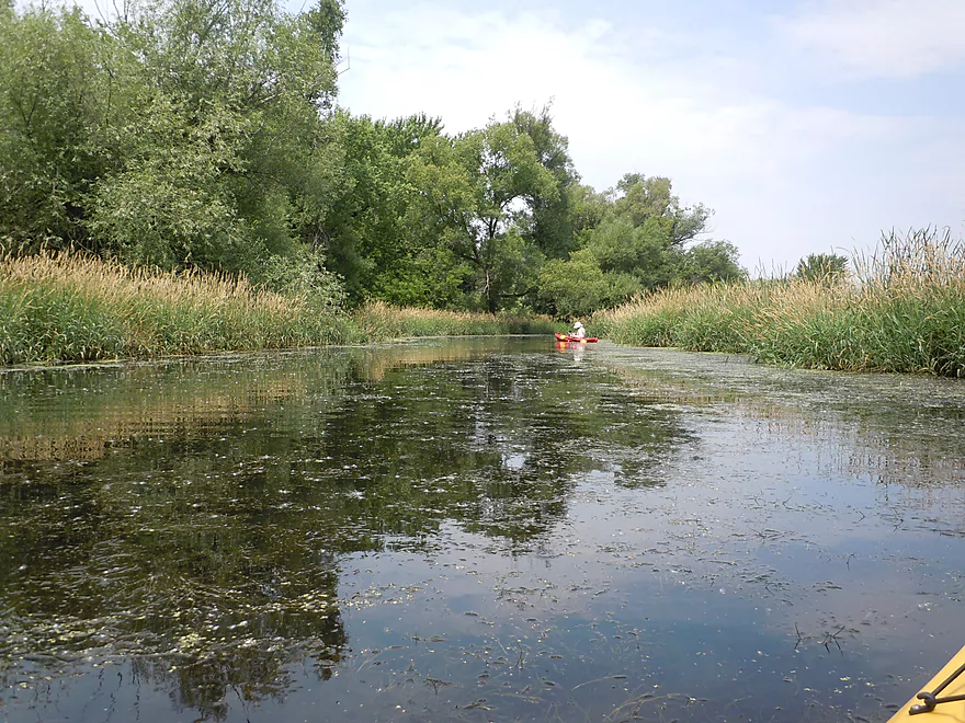
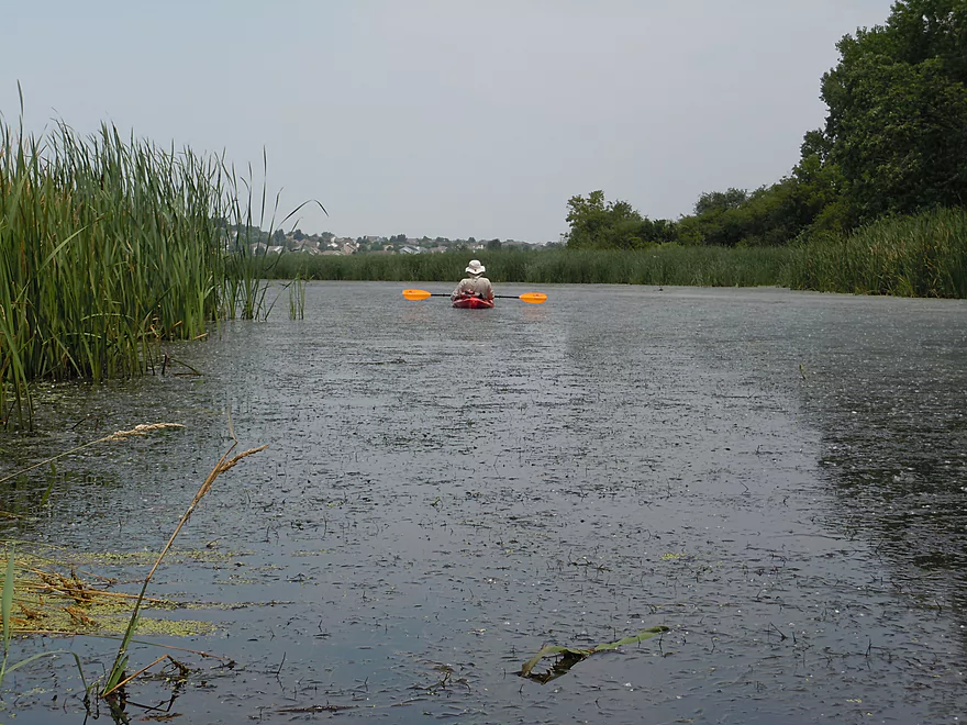
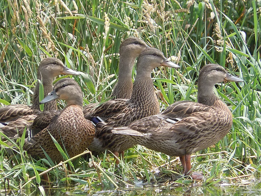
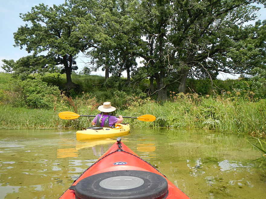
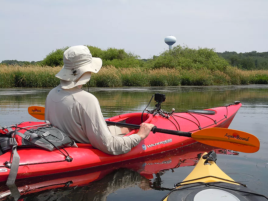
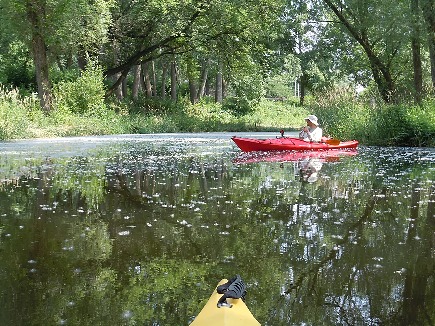
Curious onlookers
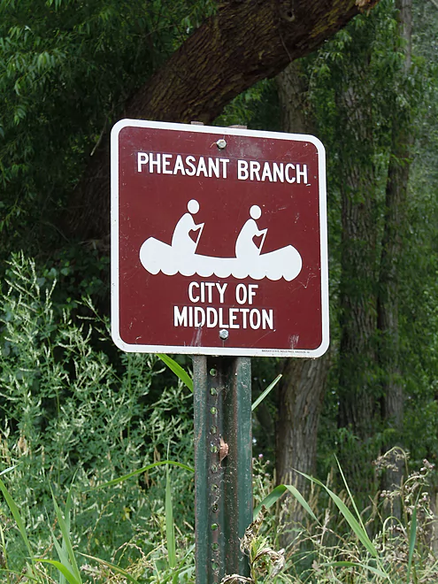
Official Paddle Trail Sign
Cottonwood Fuzzies
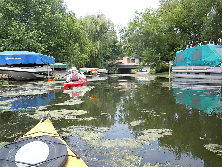
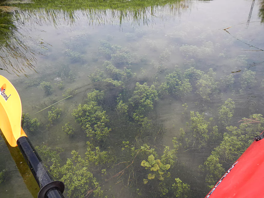
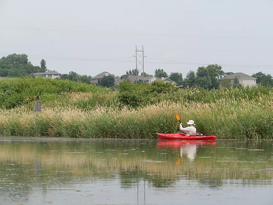
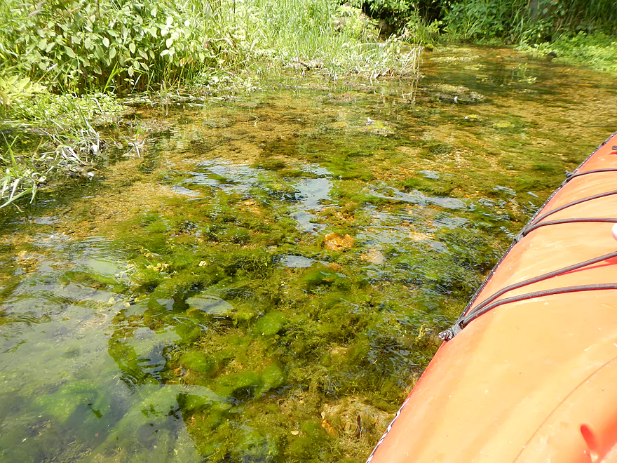
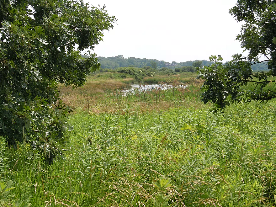
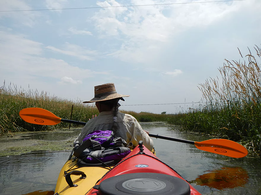
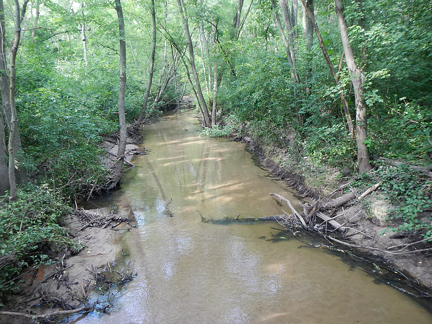
Paddling weeds is an issue
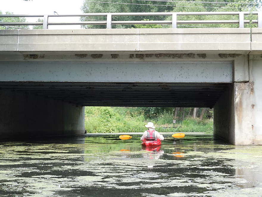
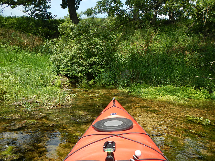
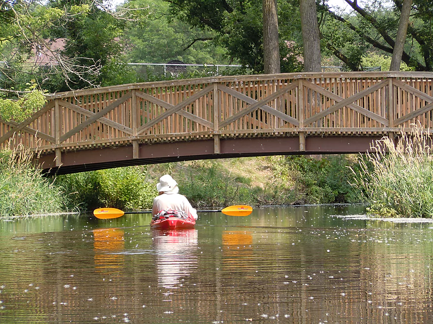
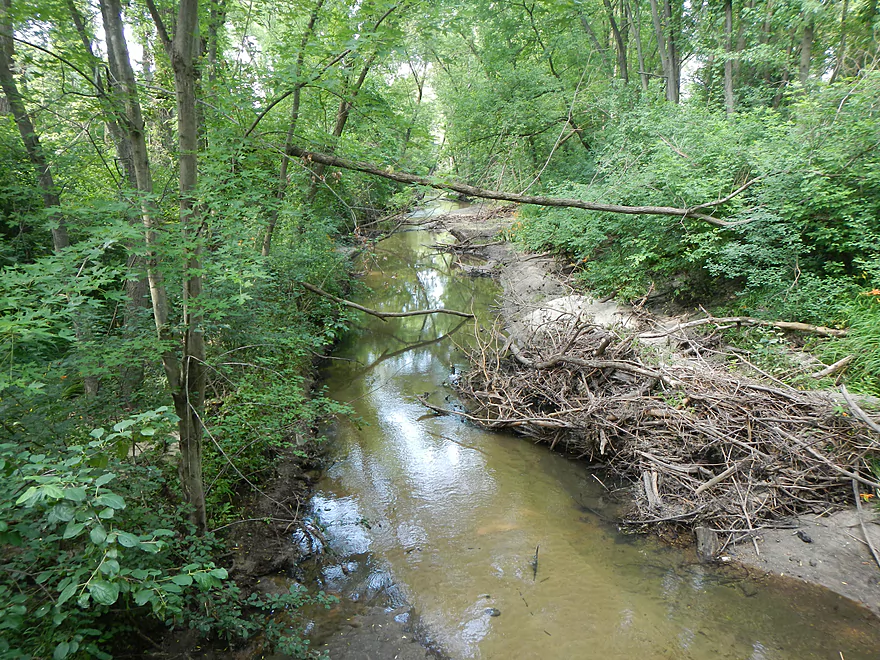
Low bridge blocks passage west
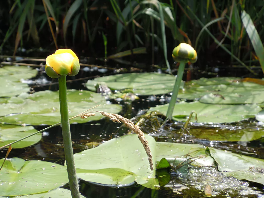
Bullhead Lily
Weeds were tough to paddle through
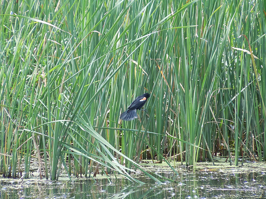
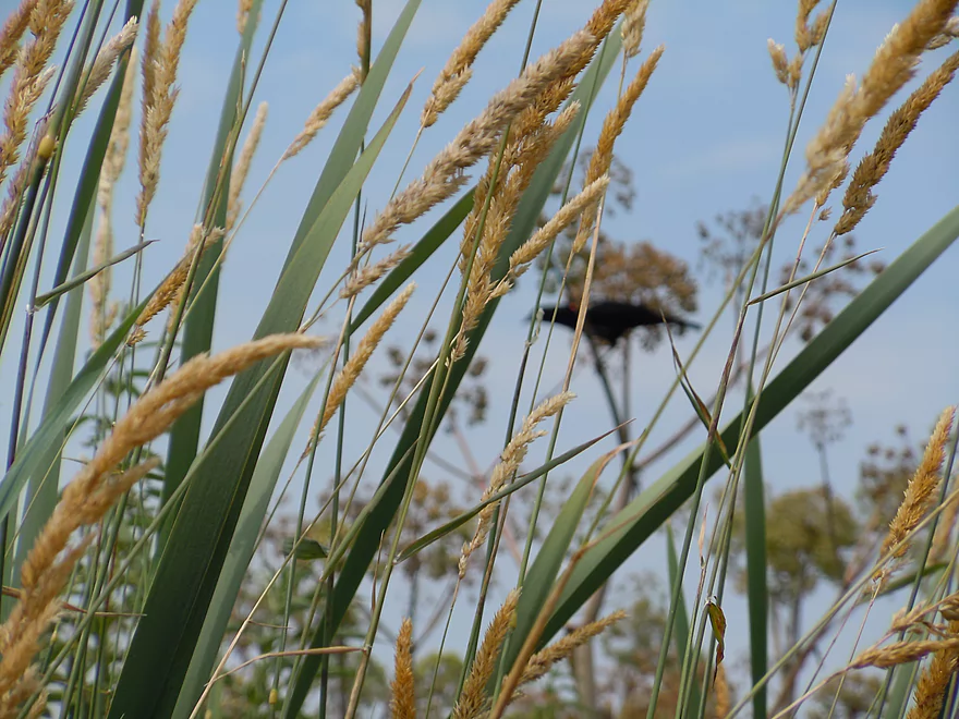
Blackbird in reed canary grass
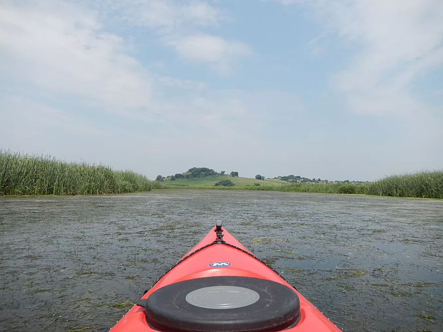
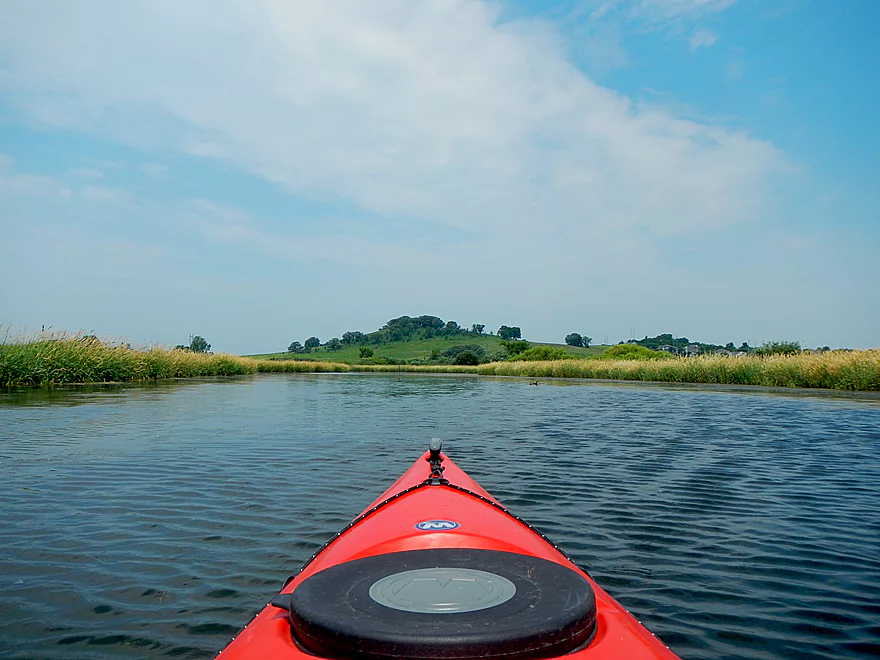
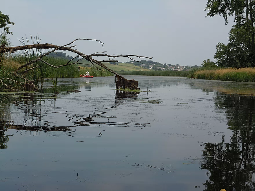
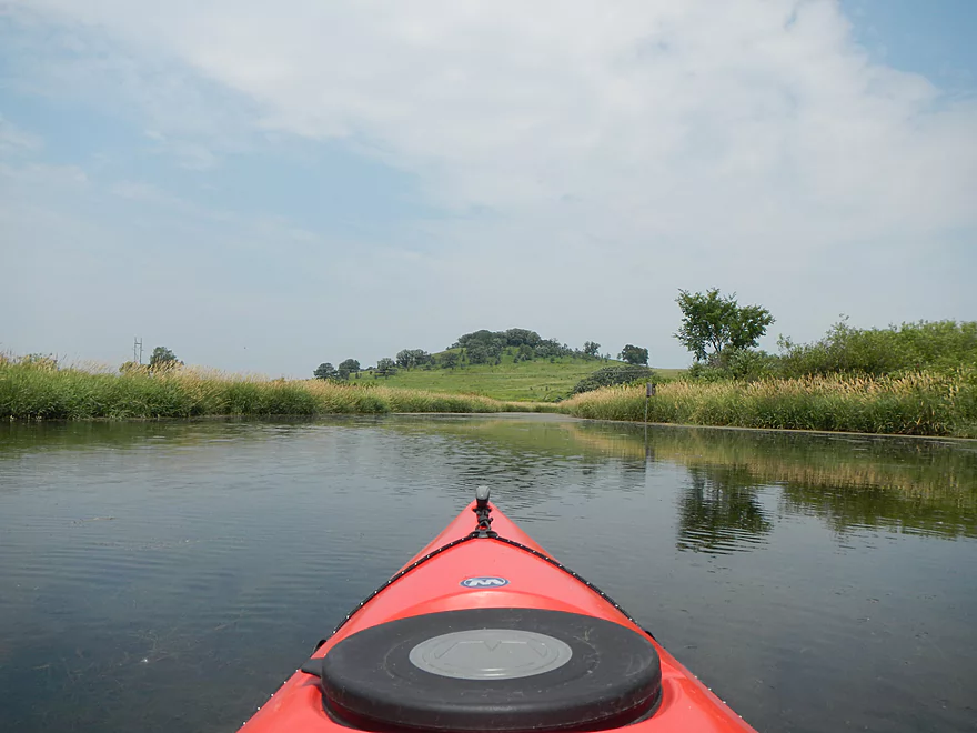
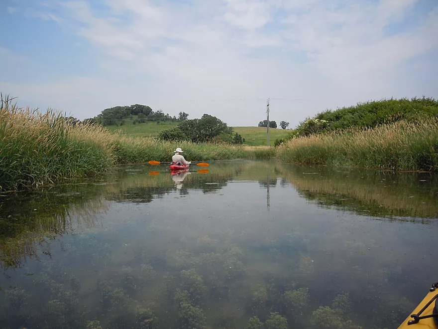
That hill is the source of the springs
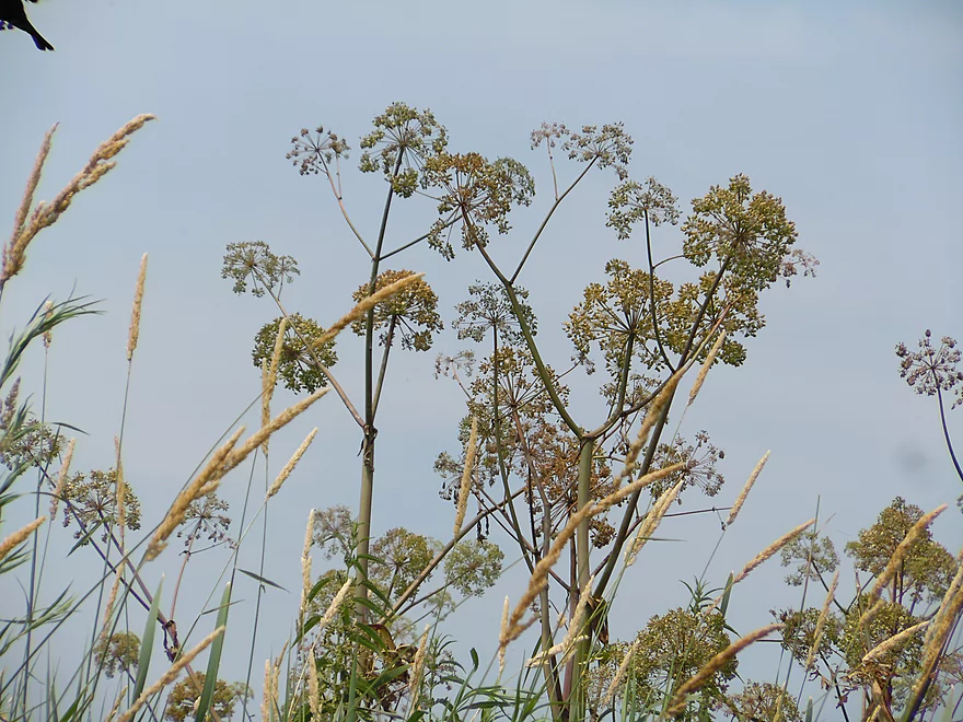
More cool plants (Angelica)
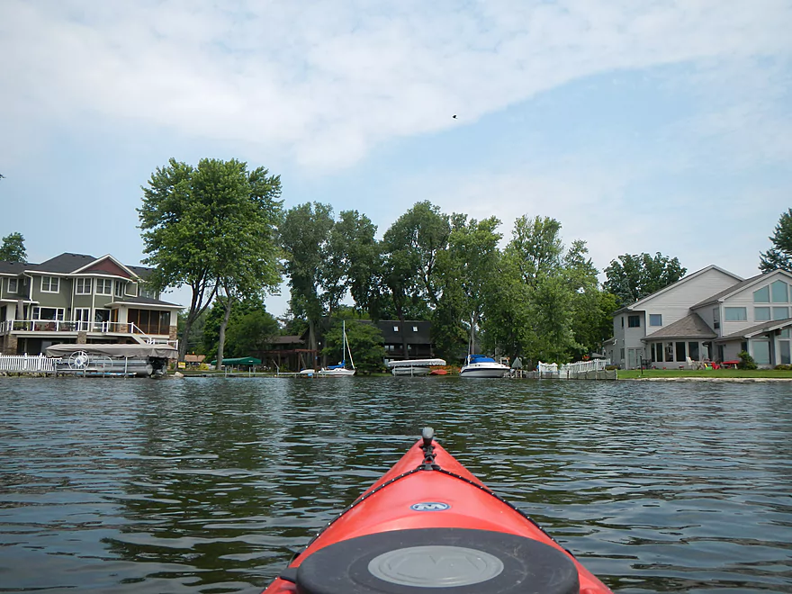
Unfortunate that you saw suburbia
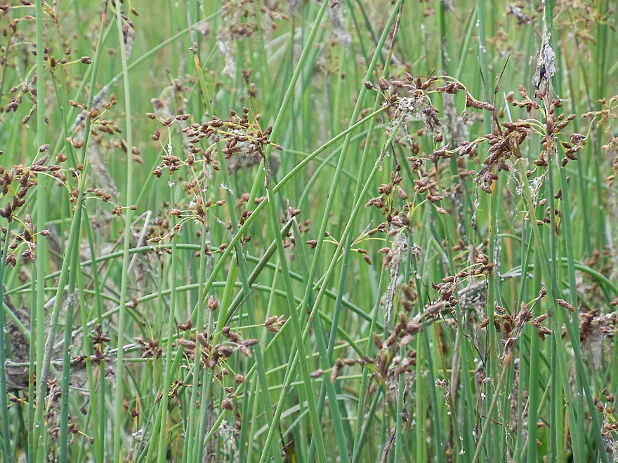
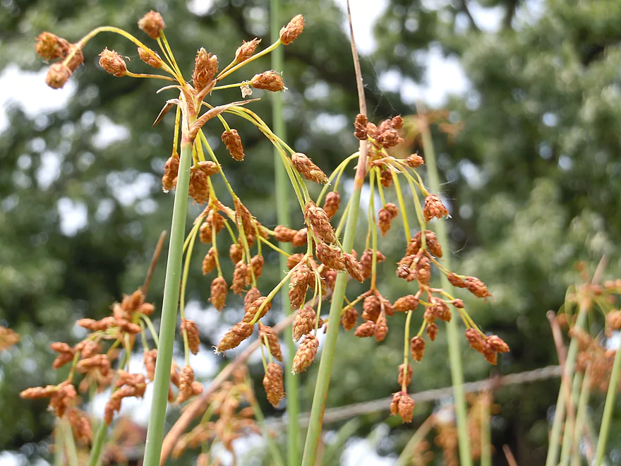
Bulrush
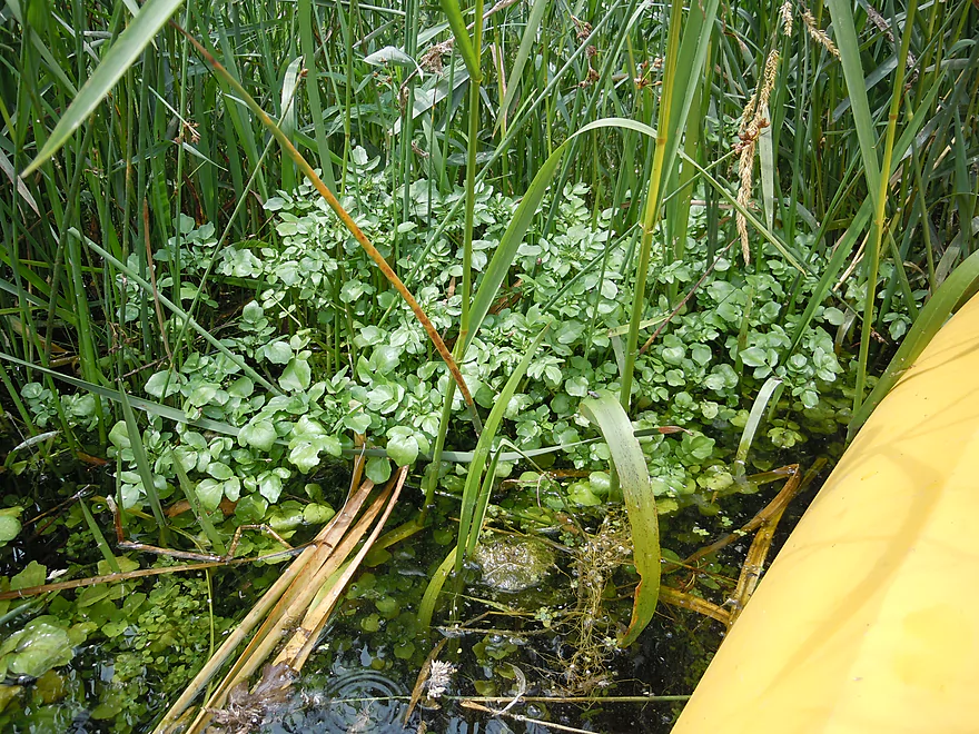
Watercress
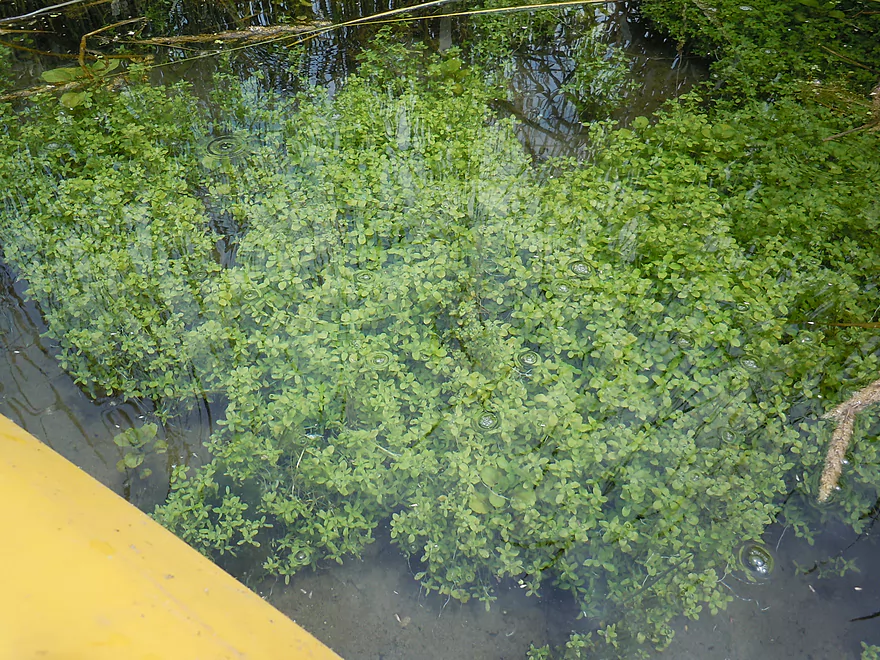
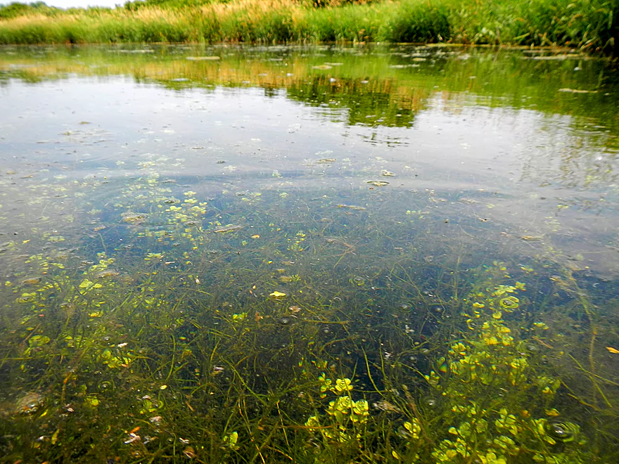
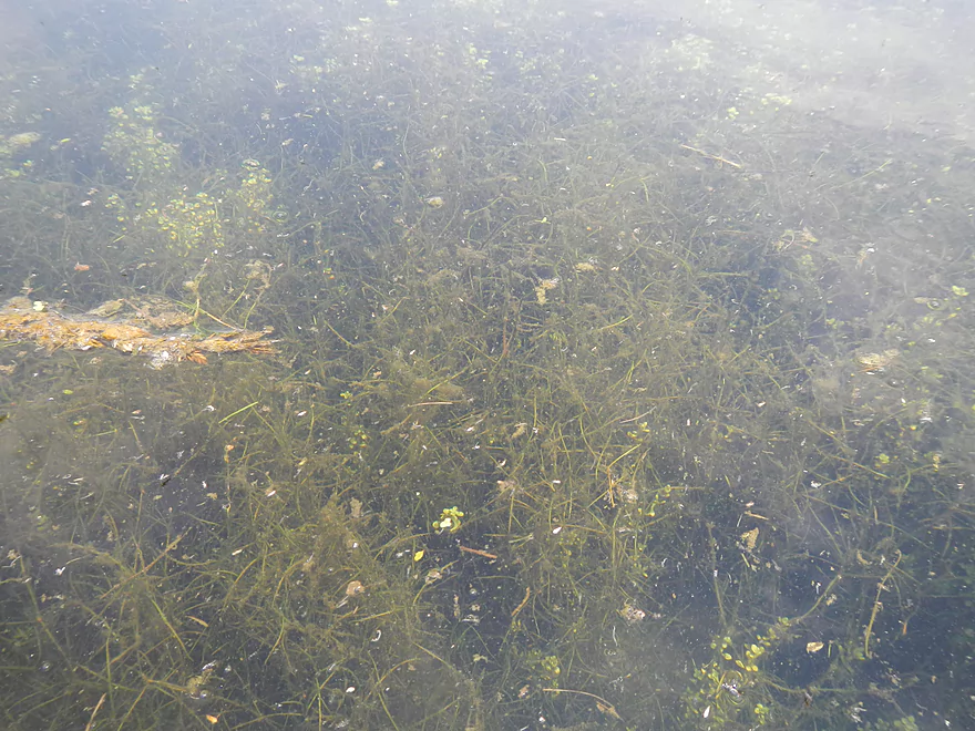
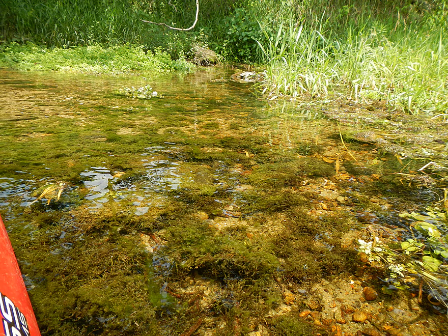
Underwater Plants
Underwater springs
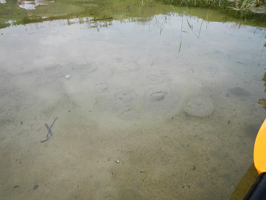
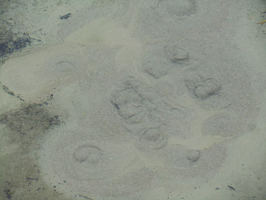
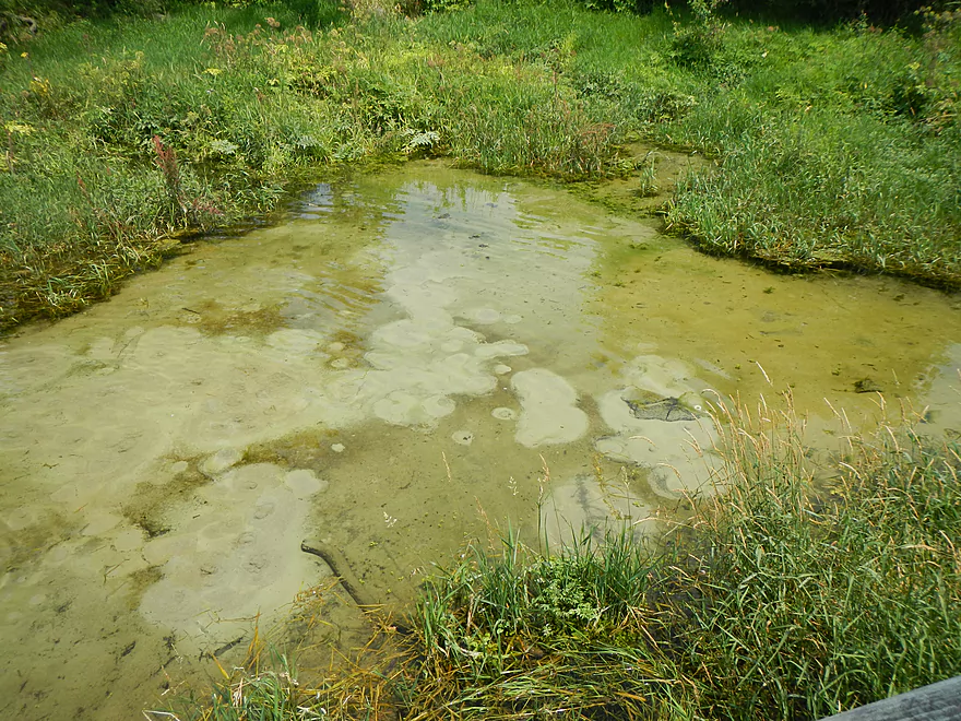
Like mini-volcanoes
Springs next to the trail
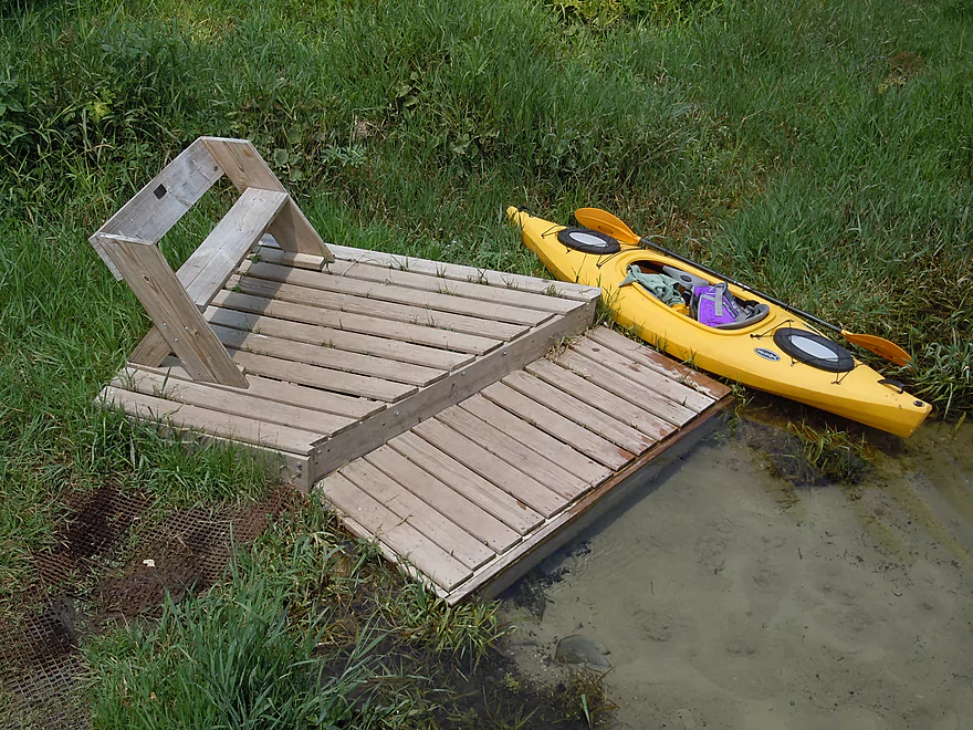
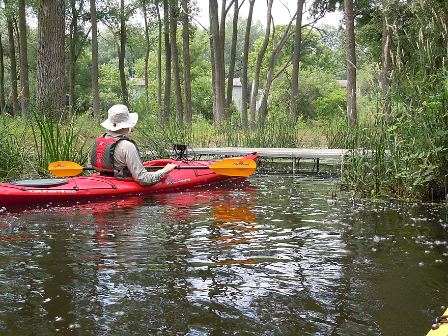
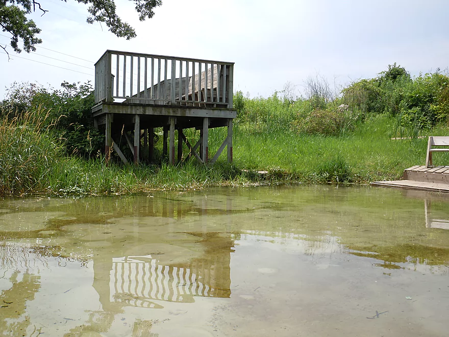
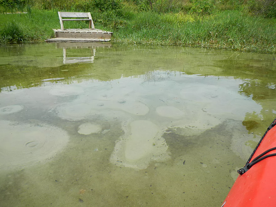
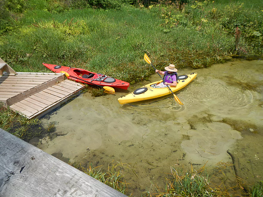
Handy dock
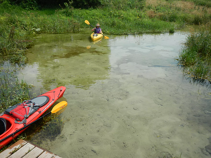
Floating in air
Most northerly source of the springs
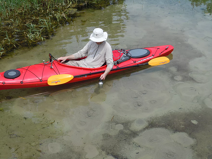
Keeping my canteen of water cold!
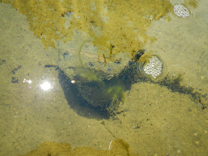
Cool bubbles

Trying to sneak into one of the west branches
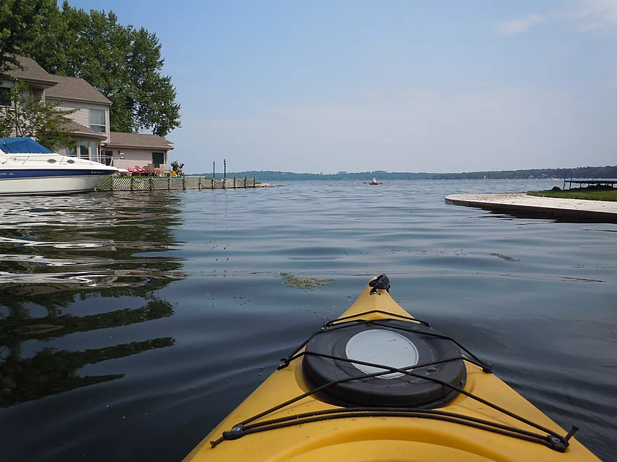
Mouth of the creek
There are some small bluffs you can explore to the left
Taking out
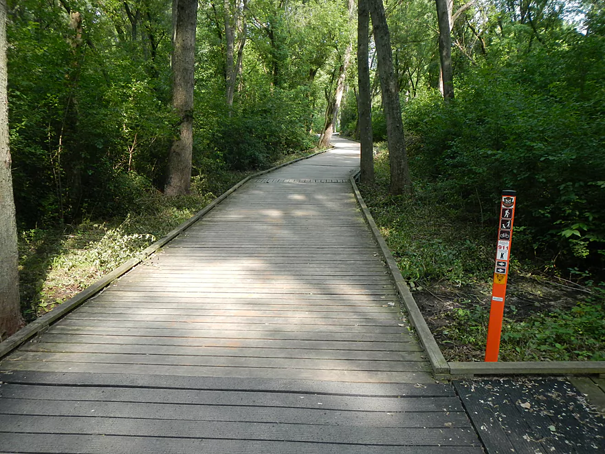
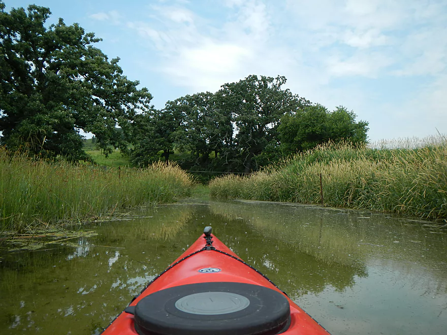
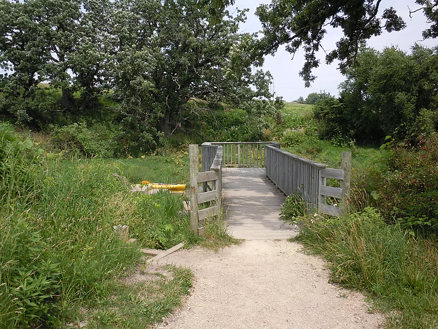
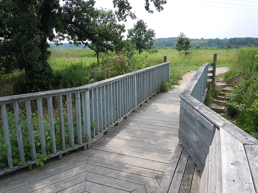
Exploring the trail
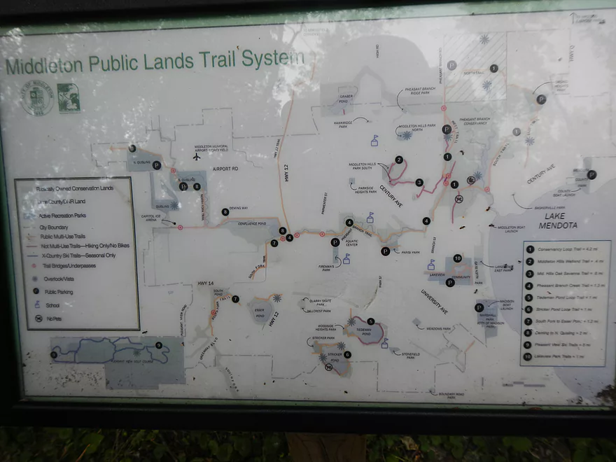
Map
Not paddled! NW Branch
See video for what this looks like during a flood
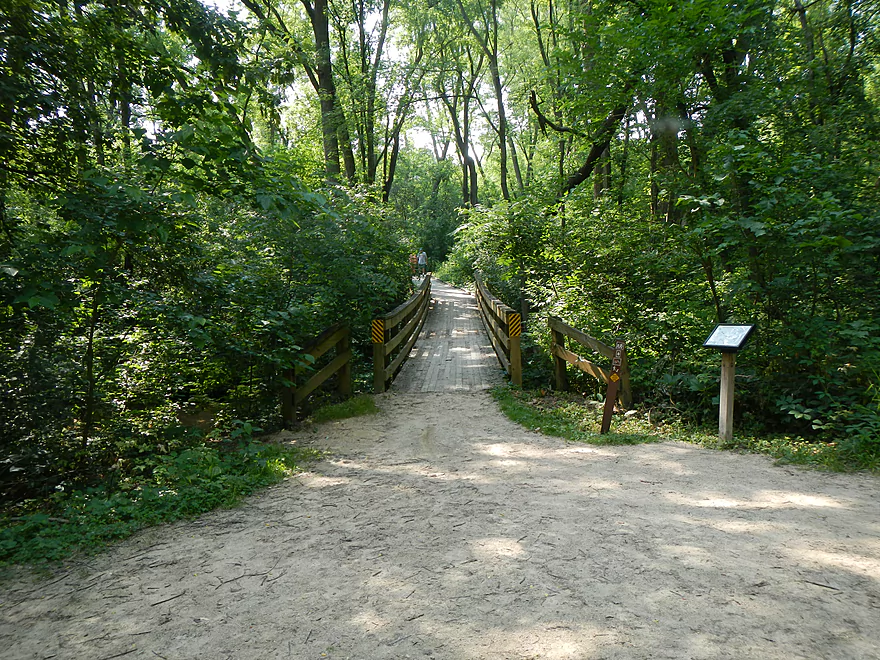
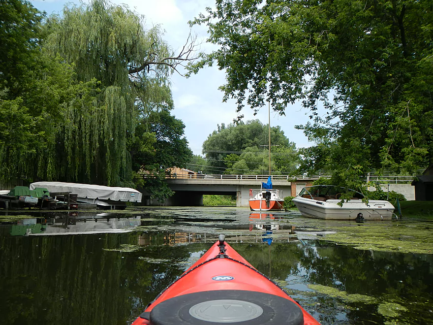
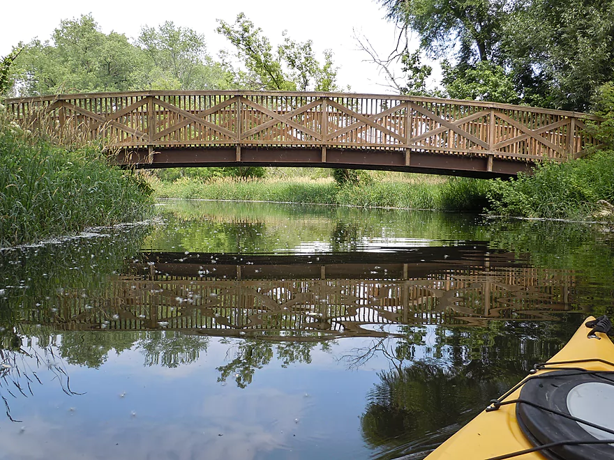
Nice bridges on the trail
Pheasant Branch

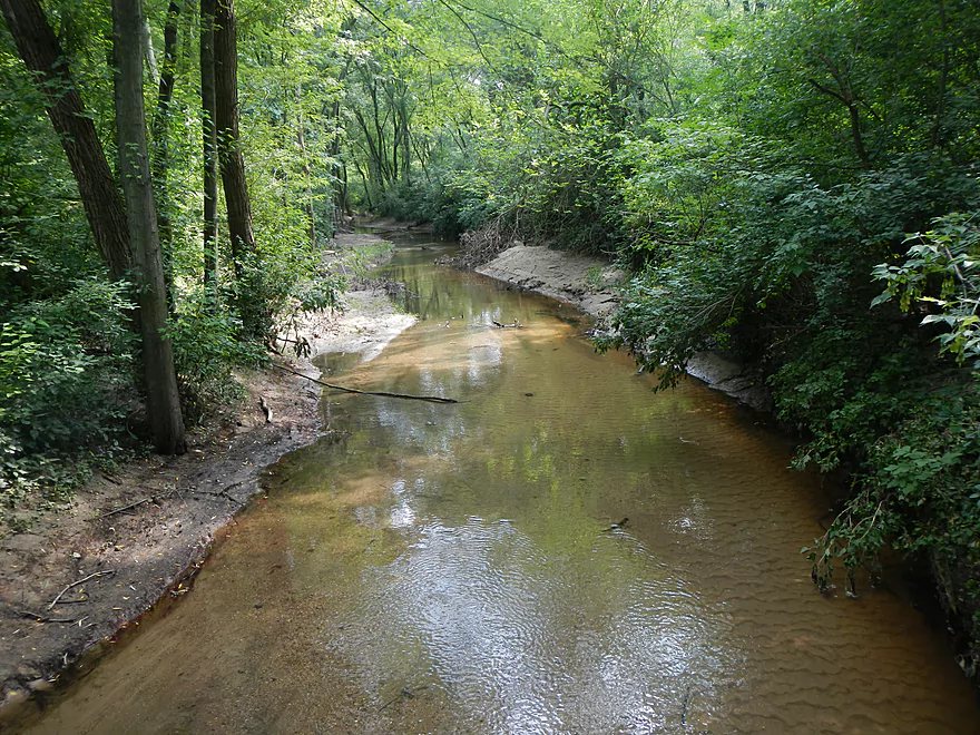
Pheasant Branch Creek is located near Madison and feeds into Lake Mendota’s northwest side. It’s not a very large creek, so it is not very popular with paddlers. You can usually paddle up to and past the first pedestrian bridge, but not much further due to the shallow depth and abundance of aquatic weeds. There is a popular natural area surrounded by nice bike paths and trails at the far north end of the watershed. There are also natural springs here that are the source of the creek.
The key to paddling this stretch is high water (from Mendota), as that will backfill the creek and allow you to paddle over the weeds and up to and on top of the springs. At the time we paddled this, the USGS at Lake Mendota was about 11.5 ft. (perfect!). The creek itself didn’t have easy access that I could find, so we put in at the Lake Street Ramp (one of many options on Lake Mendota). Nice public access, but no bathrooms. This ramp is pretty much located next door to the mouth of Pheasant Branch, so is a good jumping off point. Sneak to your left (the mouth is a tad hidey) and you’ll be in the main channel (you should see a random canoe sign verifying this after the fact).
Pheasant Branch Creek actually has two main forks. The north fork leading to the springs (which we paddled) and a west fork coming all the way from the Middleton Airport. While the west branch is very nice, I’m not sure if it is navigable. If you zoom in on the google map at the bottom of the page, you’ll see both forks. The west fork is tricky to find, as it splits up into and empties into the north fork at multiple locations. There is a a “southern” mouth that you’ll see after you paddle under the road bridge, but this area is blocked by two footbridges and filled with weeds. I don’t think this is navigable. There is also a “northwest passage” (marked on the google map). This may require high water to access and I missed it during our trip.
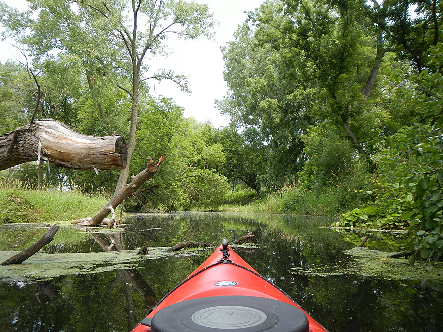
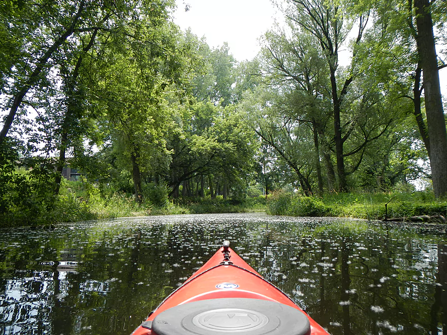
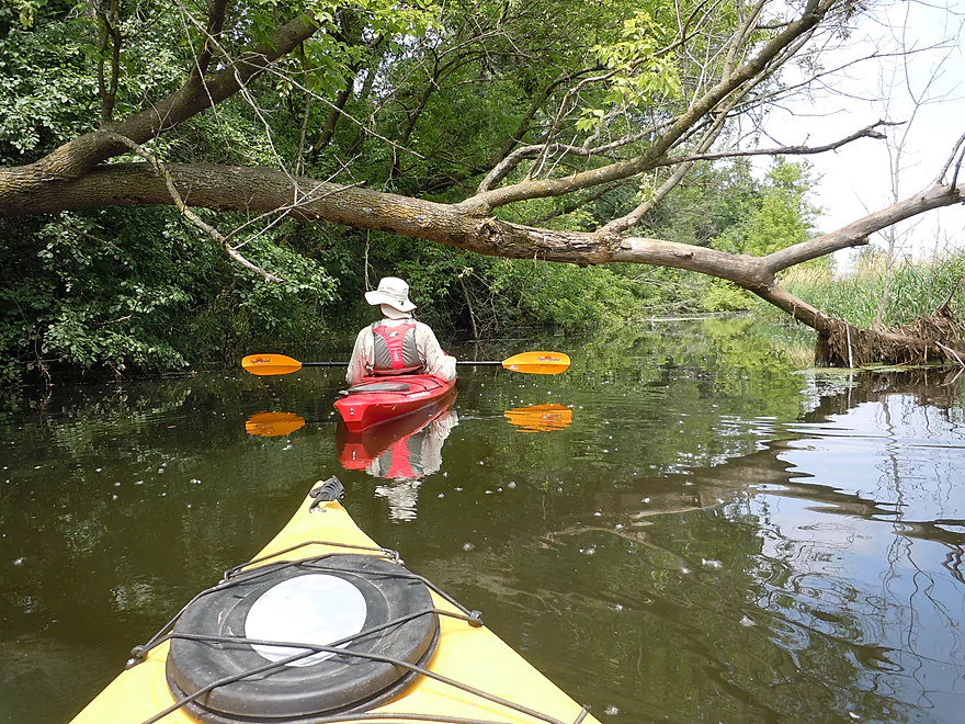
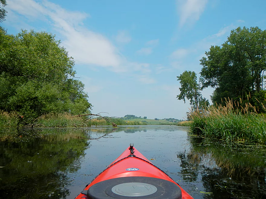
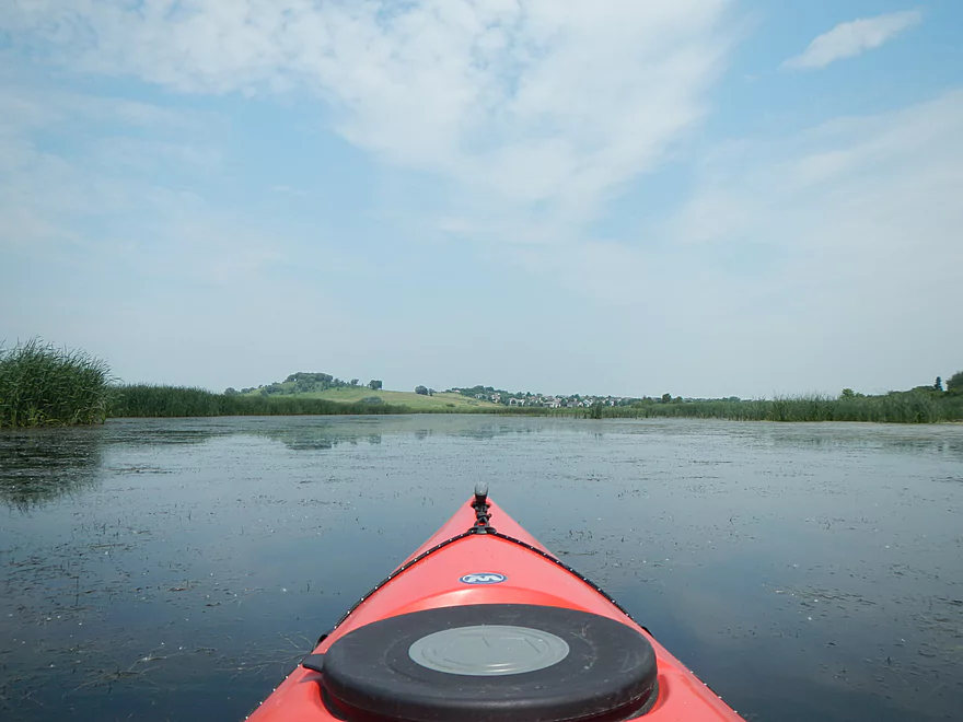
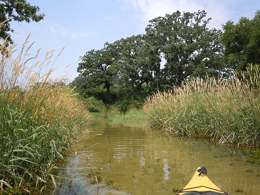
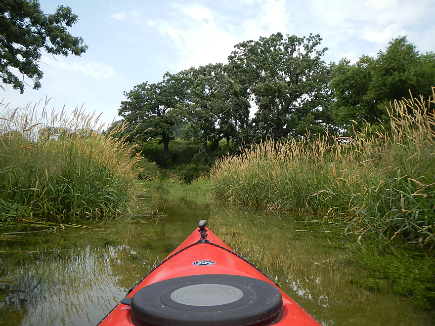
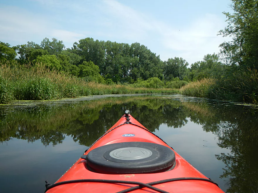
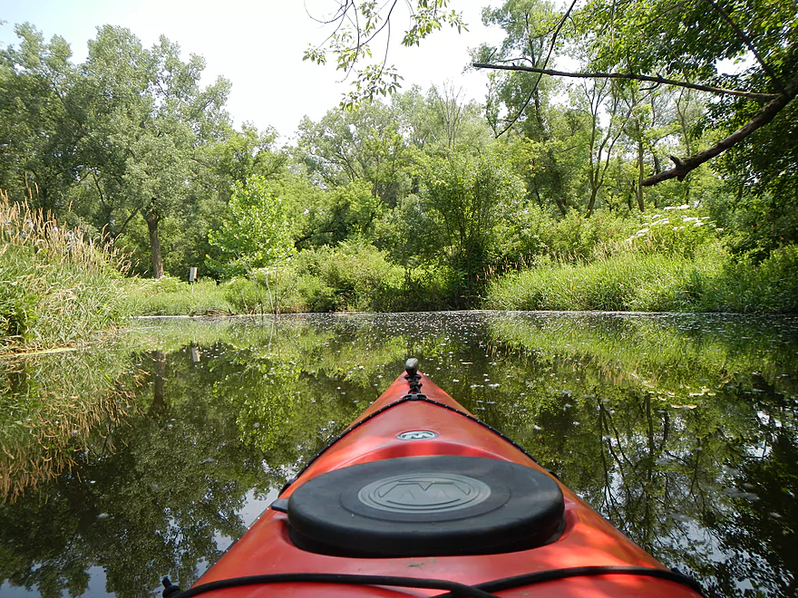
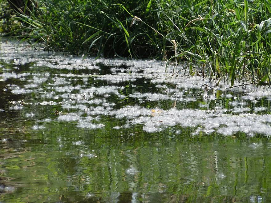
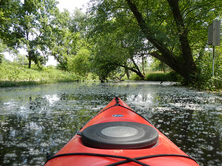
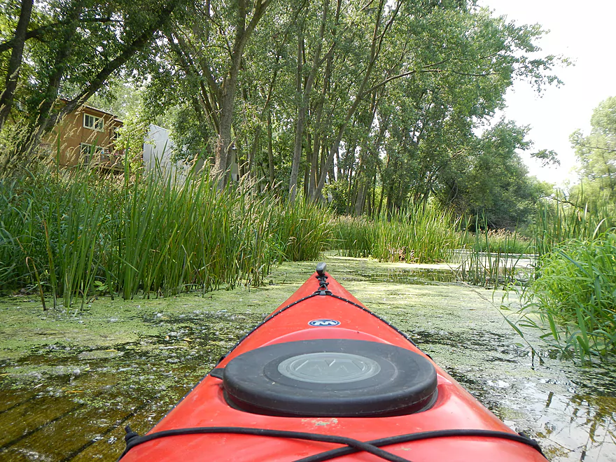
Back to the main “north channel”… After you pass under the road bridge and past small feeds coming from the west, you’ll pass under a nice bike bridge. At the time of paddling, there were cottonwood fuzzies everywhere, which was very cool. For a little ways past the pedestrian bridge, Pheasant Branch stays a creek before it opens up considerably. This isn’t great paddling and reminded me of Horicon: open water/wind/no current/thick pond weeds/homogeneous reeds :(. There are occasional cool plants here and there though. Keep paddling, as this isn’t the reason you came. If you’re the explorer type, keep an eye out for the “northwest passage” that leads to the west fork as this is sometimes (rarely) accessible. The main goal should be to keep moving north toward the large hill you’ll see in the distance
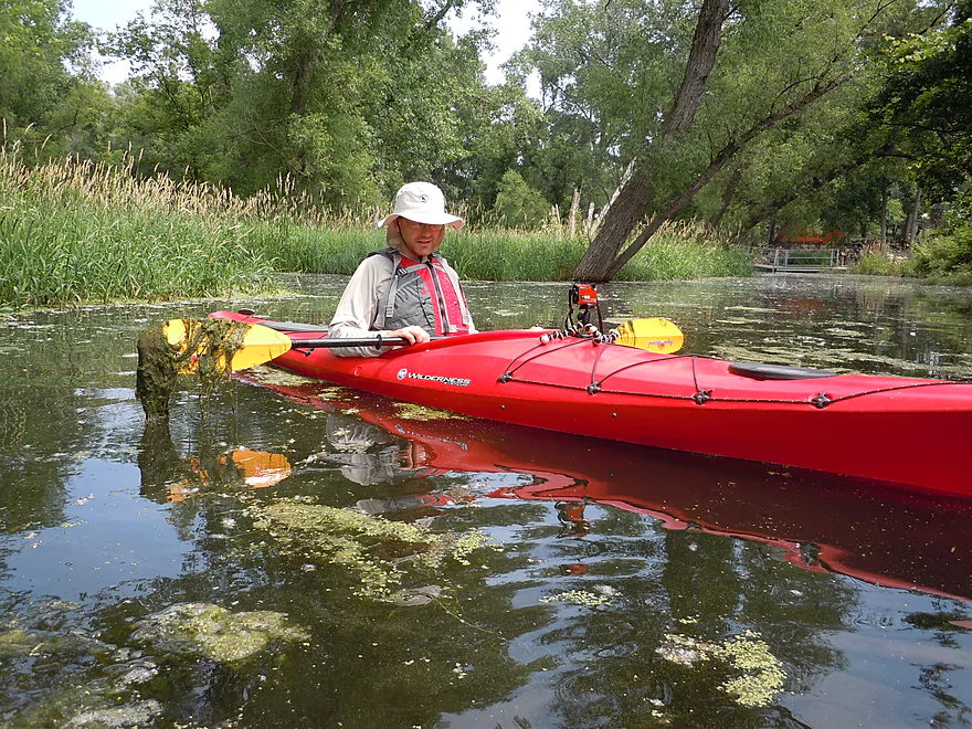
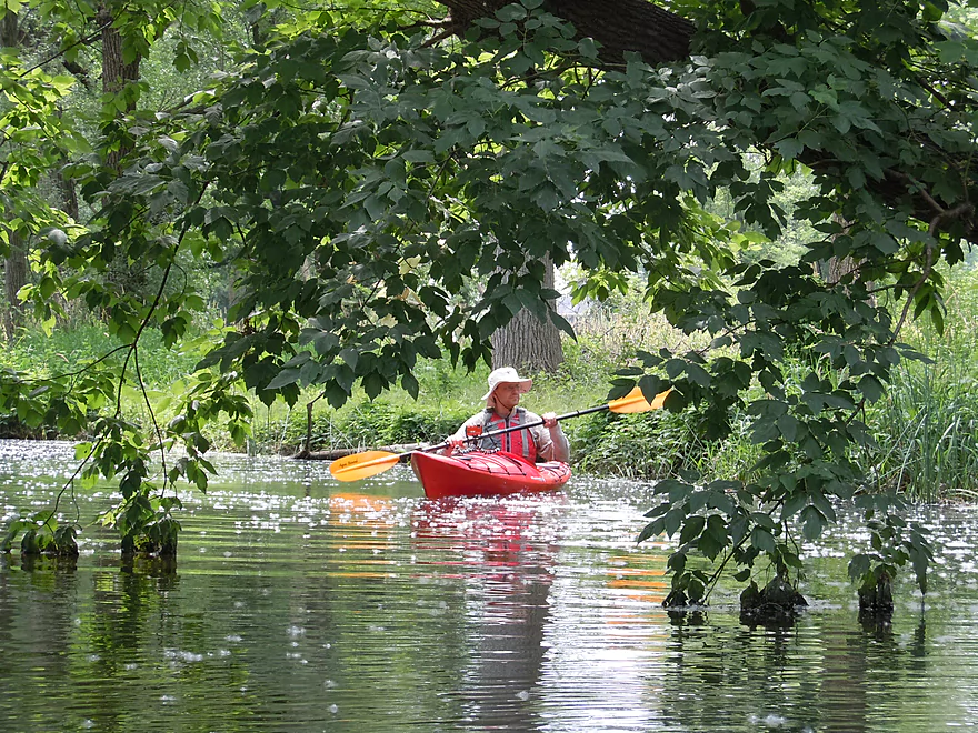
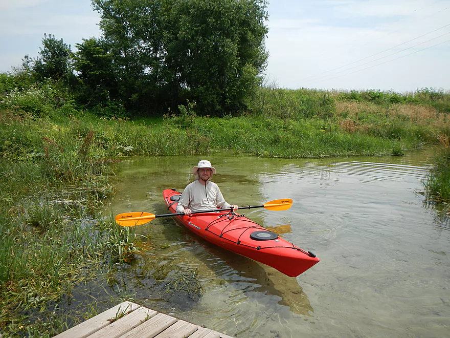
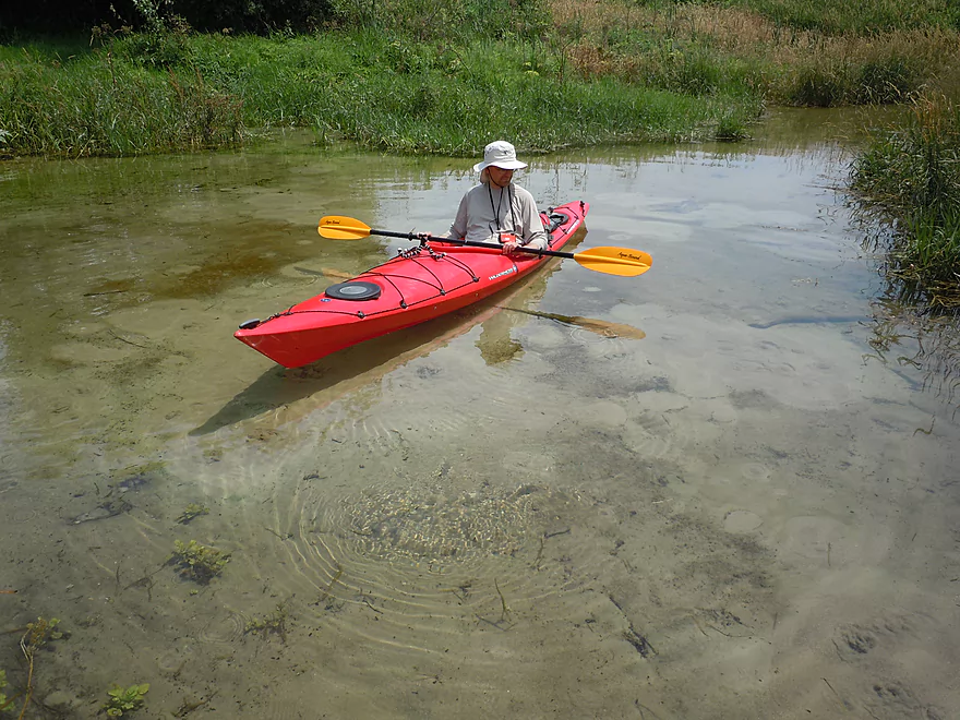
Gradually the water starts to clear up, the weeds thin out, and cool underwater ‘forests’ appear. The channel closes in as a passage and you’ll scoot past the remnant of a fence that was recently removed (only a wire remains that is easy to go under). You should then come across the springs if water levels are right. I was paddling my kayak without shoes and could feel the significant difference in water temperature. In fact, my feet actually got a tad numb when I kept them against the side of the kayak. The water is wonderfully clear. You’ll see from one of the pictures where it looks like the kayak is floating in air. Underwater you’ll see what appears to be mini-volcanoes erupting, which was so cool.
The springs itself intersects with the Pheasant Branch trail, so traveling by boat isn’t the only means to access the springs. There is a nice platform nearby which makes it easy to get out of your boat and explore the nearby trail, and another platform that overlooks the springs. But the water route is probably the best way to experience the springs, in my opinion.
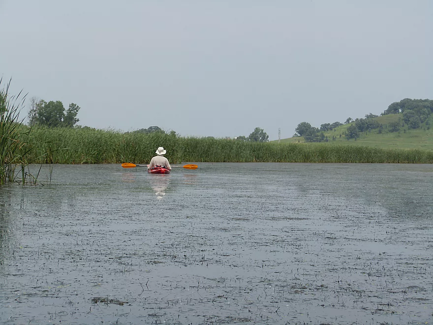
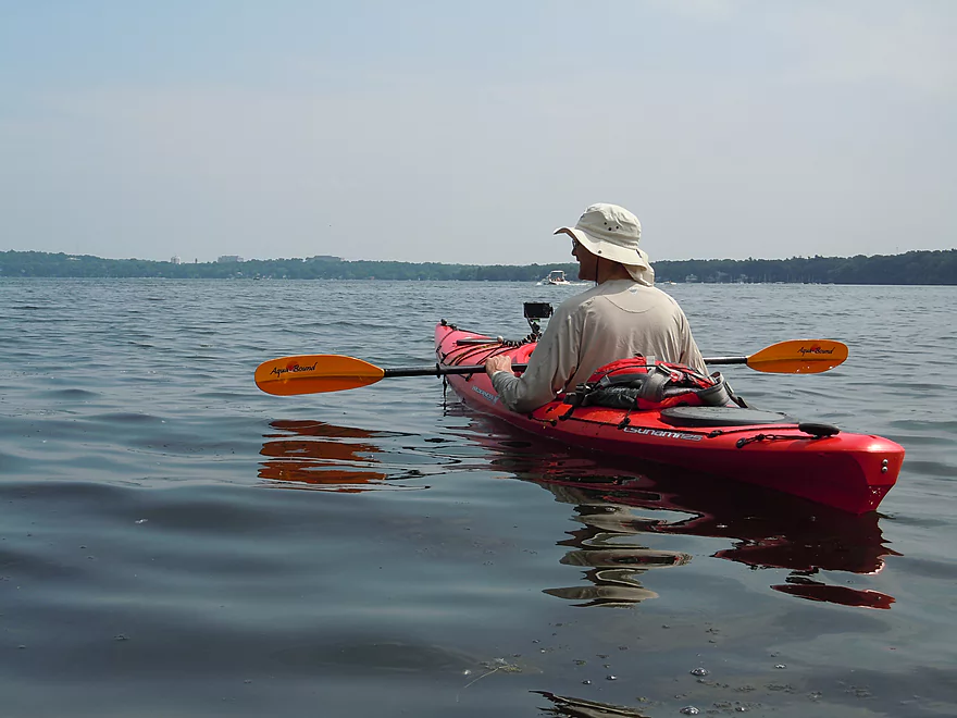
This isn’t a long trip in mileage (3 miles round trip), but because of the weeds/lack of current/head-wind, it took longer than expected. If you want to extend the trip you can (again) try to reach the west branch or play around on Mendota. There are actually bluffs near the mouth of Pheasant Branch if you exit the mouth and stay left (east of the mouth). We were going to explore the bluffs but the wake from passing motorboats was too strong. Normally, I think of Mendota as more of a sailing lake and Monona as the powerboat lake, but it was pretty rough that day (despite a no-wake rule because of the high water!). Strong wake obviously needs to be taken seriously but can be fun to play in if you have your life jacket on and are close to shore. One trick is to “surf” the wake by paddling at the same speed as the waves…and then ride the crest down to shore (easy to flip your kayak over though).
It should be noted that Pheasant Branch is in a natural area and I believe has restricted access before July 15th over certain parts of the marsh. I’m not sure as to the specifics, so you may want to look into this if you want to paddle the creek.
Below, in the video section, I’ve posted some videos of the west branch flash flooding (very cool!). It’s a very pretty section, so it would be nice if it was navigable, but as of yet, I haven’t figured out put-in access, the log jam situation, or where it empties into the north branch. This is a wonderful branch to explore by foot/bike though and I suggest doing so if possible. The bike path runs near the creek all the way to the Middleton Airport and is a very scenic trail. Here is a map of the trail system with a rough representation of the creek.
All in all, not a five star trip because of the open water paddling/marsh area that was boring. But the springs were top notch and the corridors leading into and out of the marsh were nice.
Trip Map
View Pheasant Branch in a larger map
Overview Map
Video
Earlier video of the creek (not just Mendota) flooding on the upper west branch (not paddled).
Photos Size: