
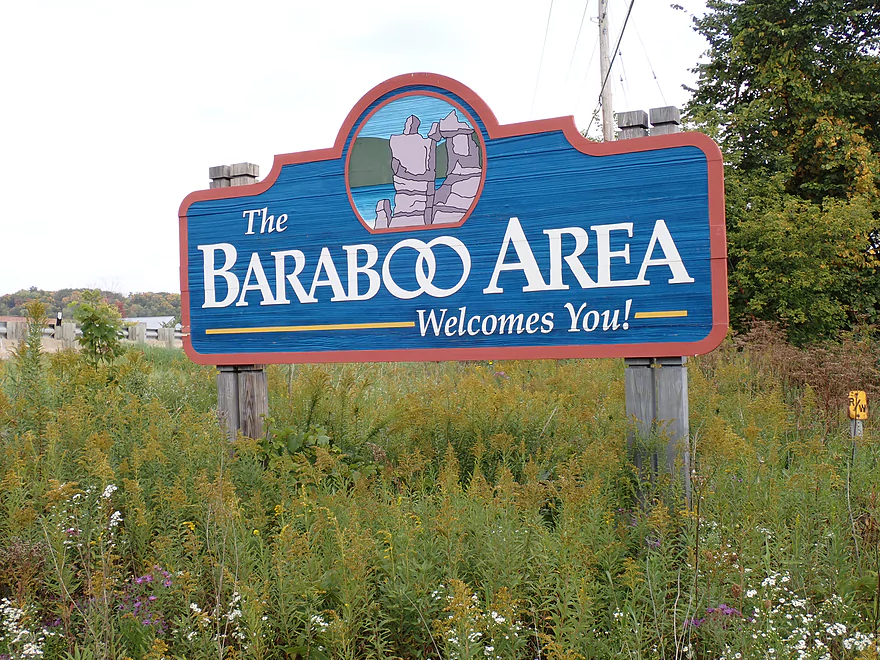
Welcome to Baraboo
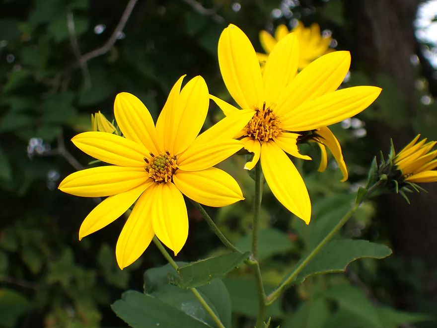
Great wildflowers at the put-in
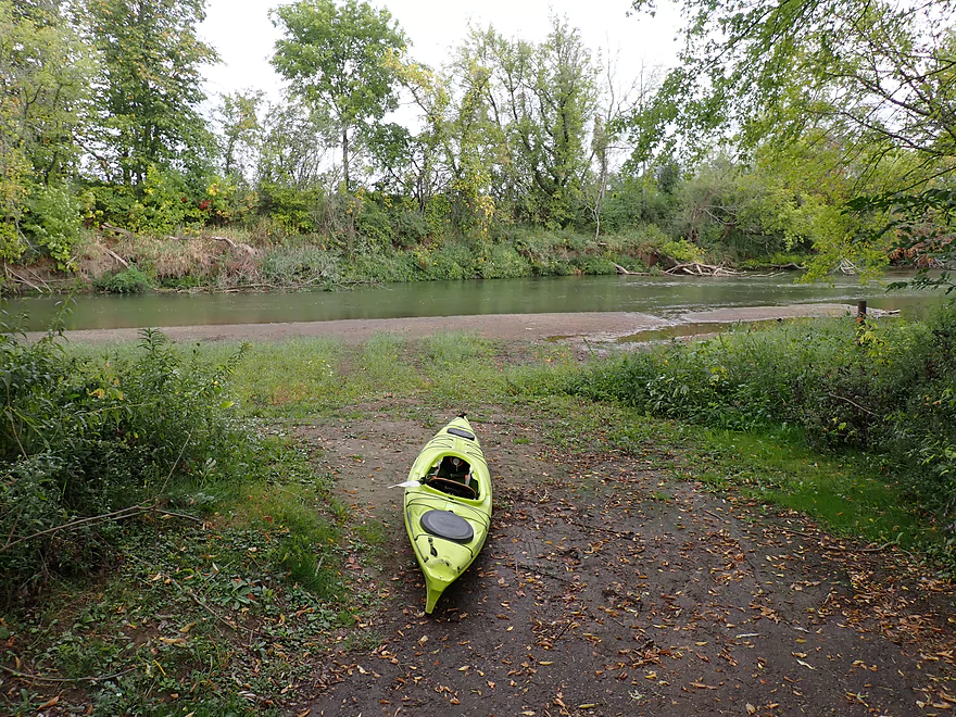
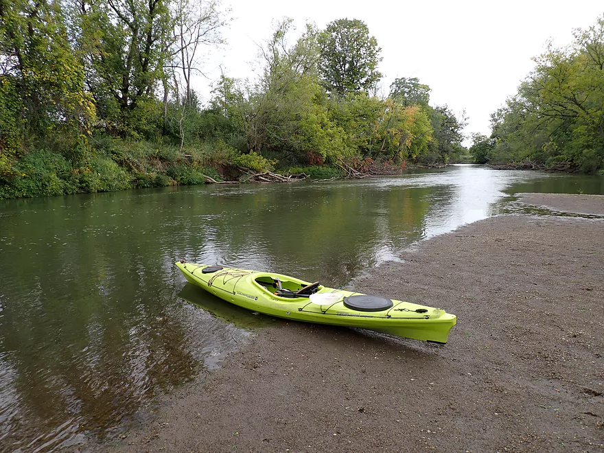
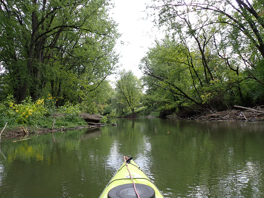
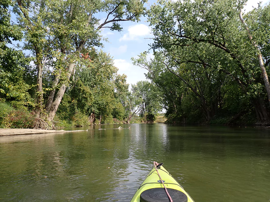
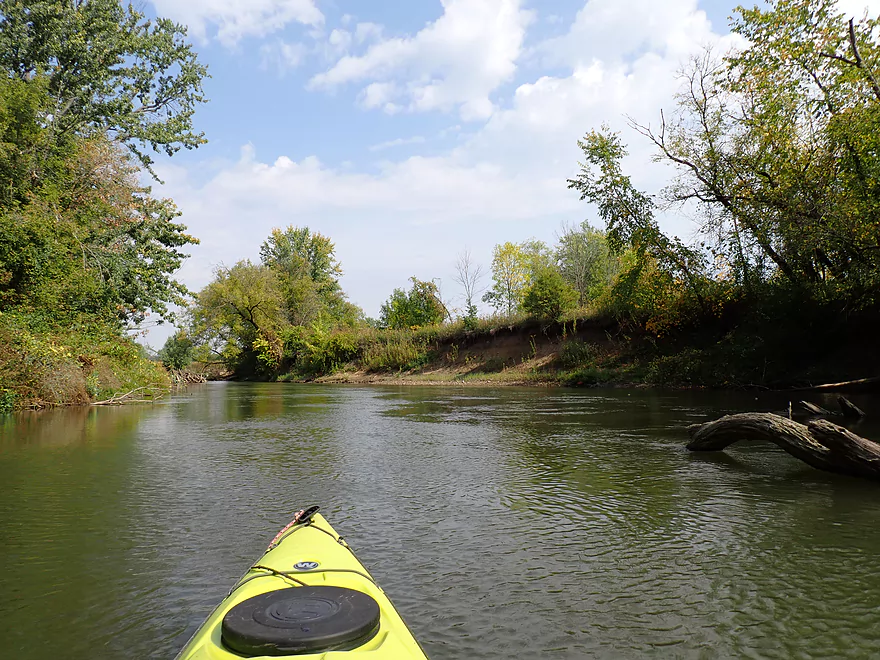
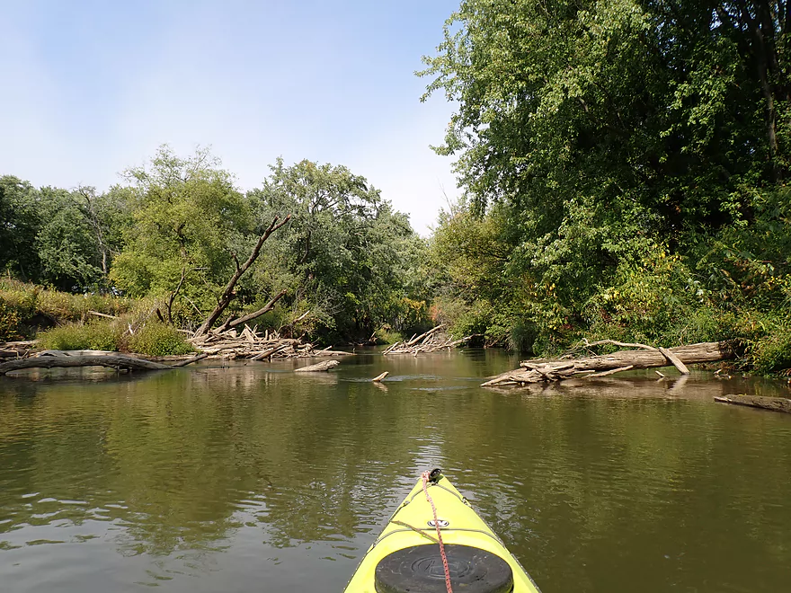
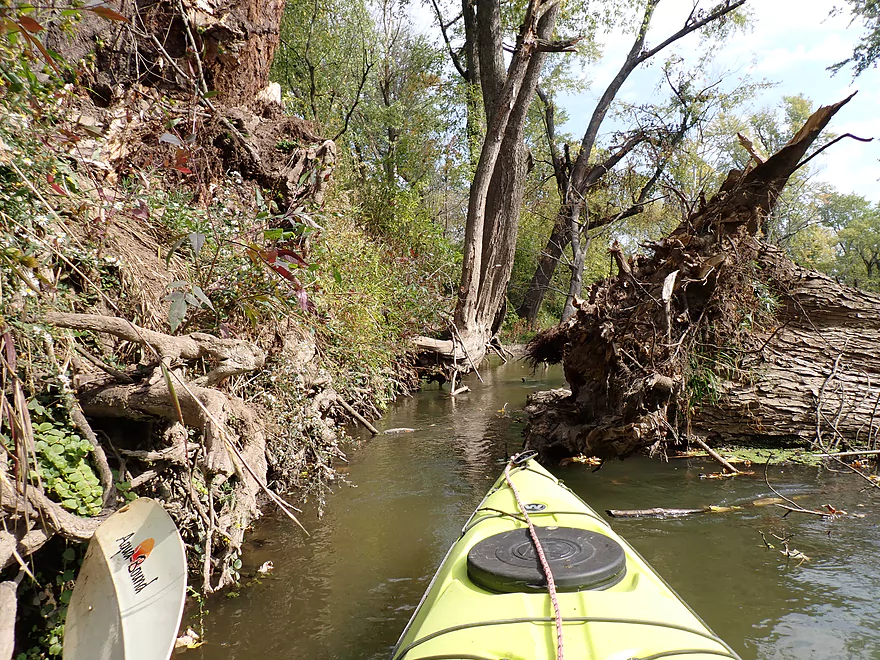
Starting the trip at the Glenville Landing where the river was relatively low
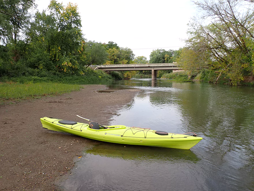
Looking upstream at Hwy 113
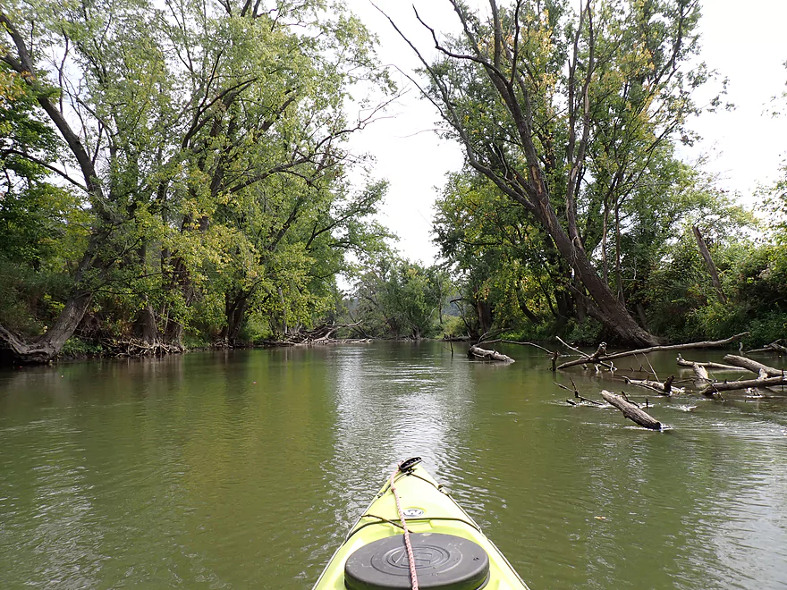
View downstream
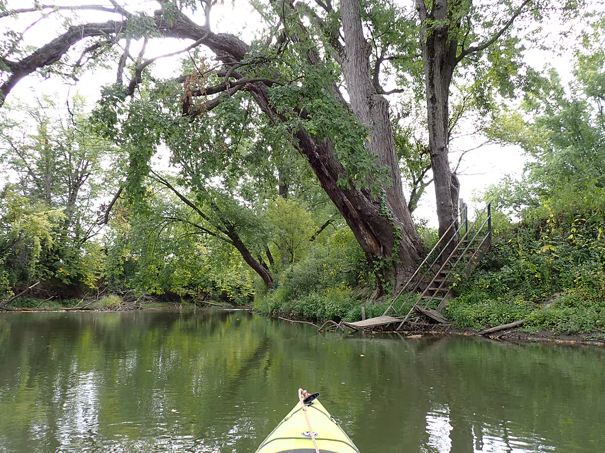
Staircase is part of the Double K-D Campground
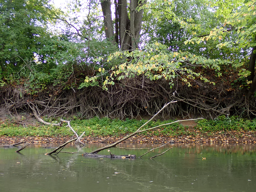
Exposed roots
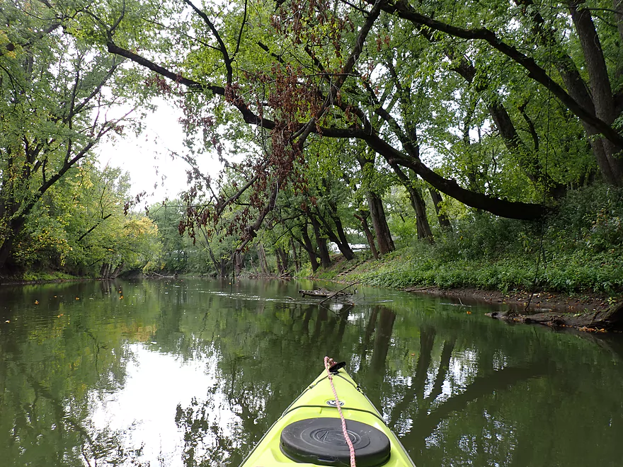
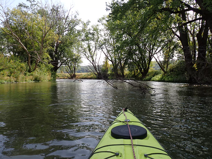
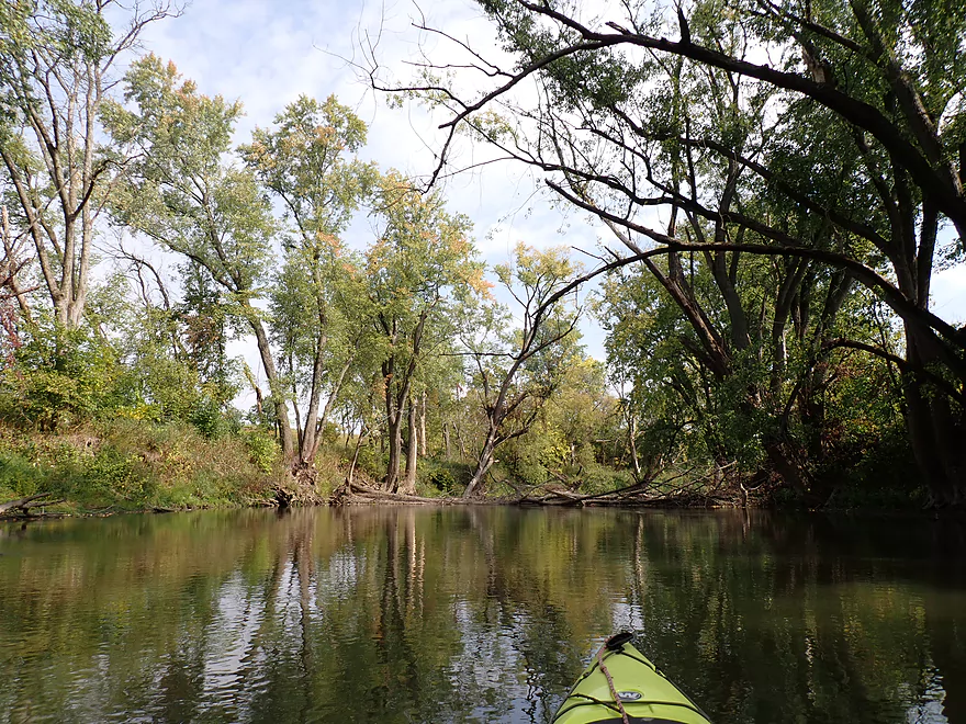
Nice tree canopy
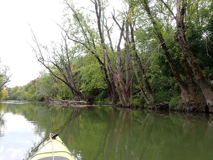
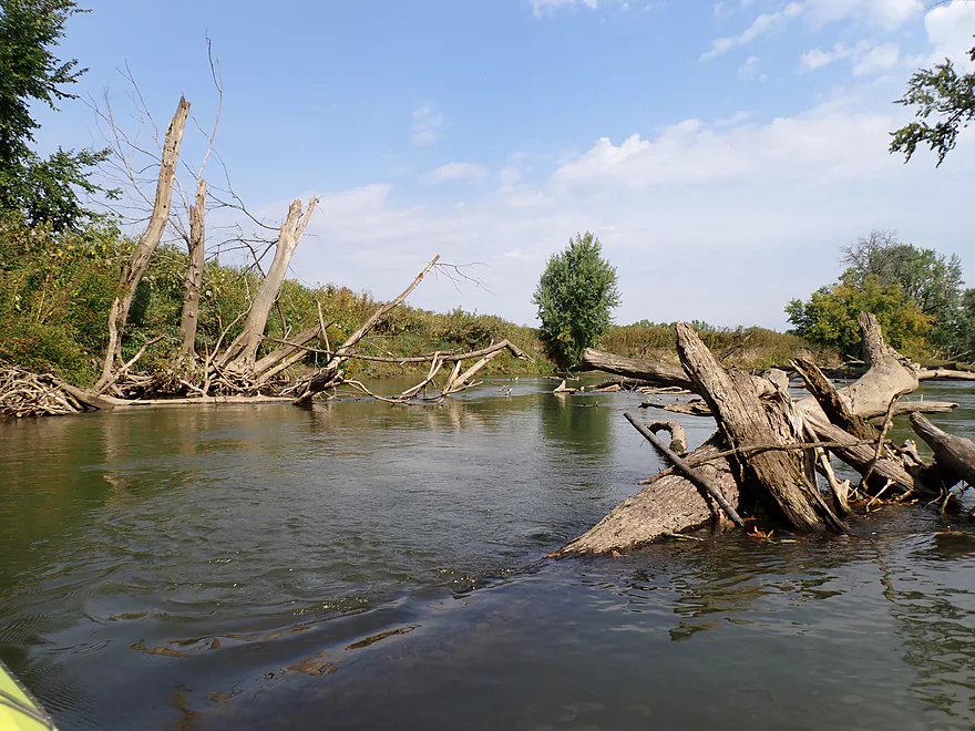
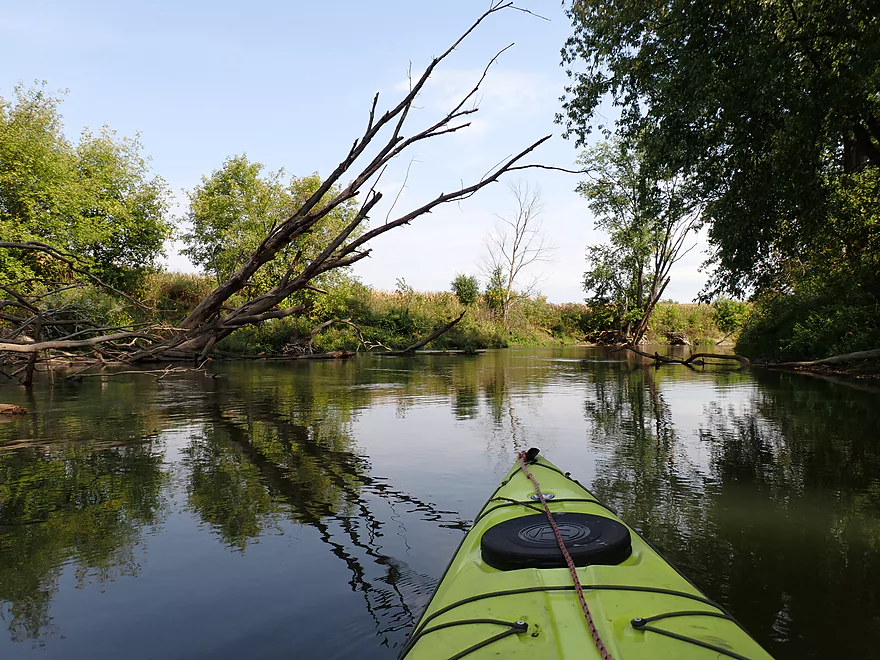
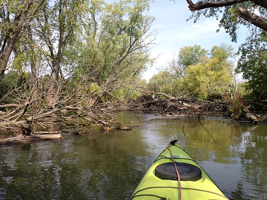
Lots of dead trees along the banks

River featured a number of tall mud-sand banks
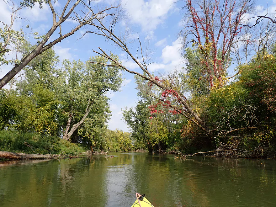
Virginia creeper added a touch of fall color
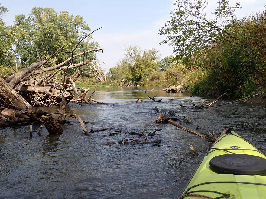
Dodging deadfall in surprisingly quick current
A lot of cornfields along the banks
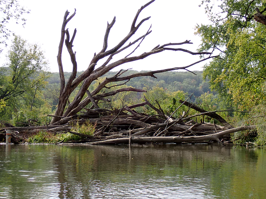
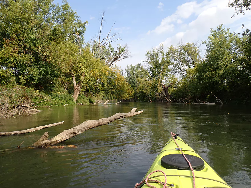
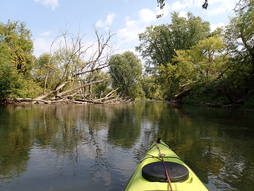
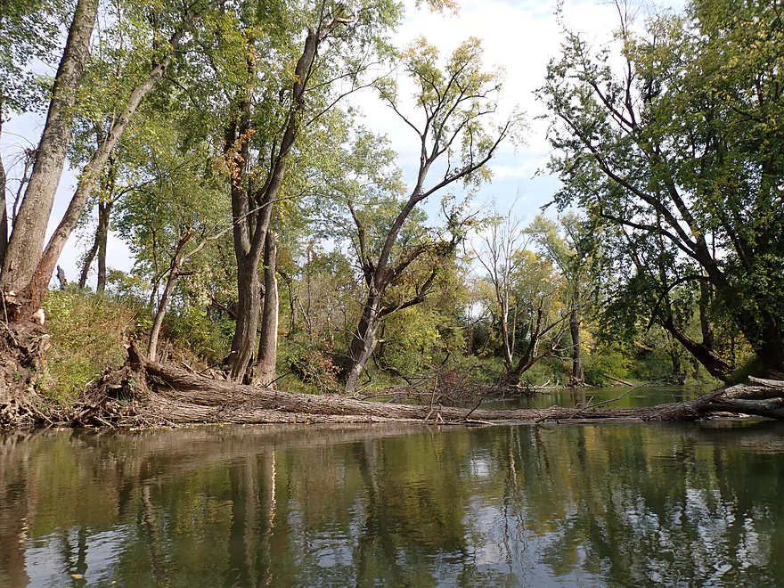
Some big logjams…but always a way past
More snag dodging
A few sections were like obstacle mazes…not that bad though
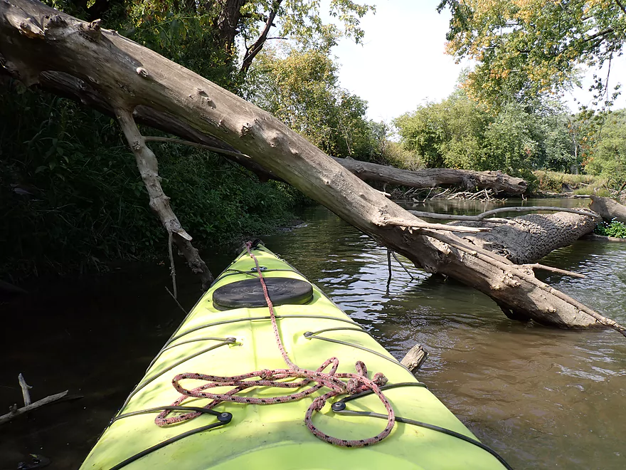
Ducking under the log to get past a jam
Hard to see, but those are the Devil’s Lake bluffs in the distance
Some of the river banks have been artificially worked on
Zigzagging through
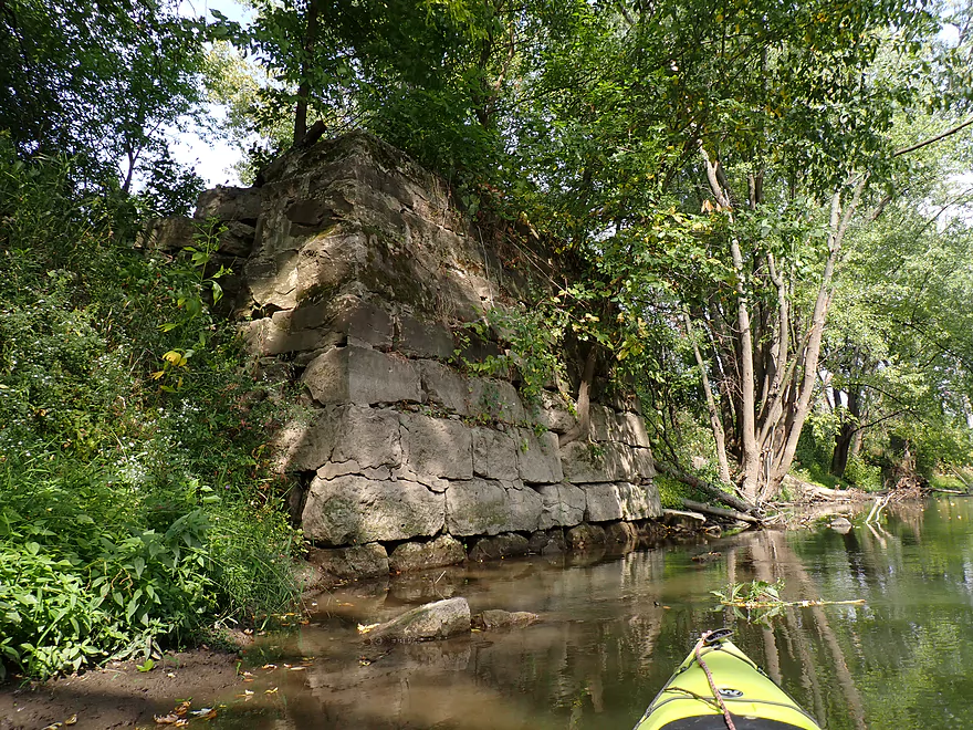
Many of the old Baraboo River bridges have fantastic stonework
Looks impassable…
There is a sneaky gap on the left
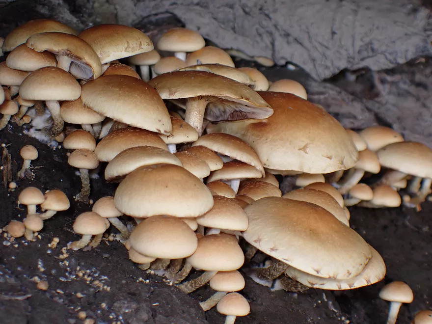
Mushroom colony
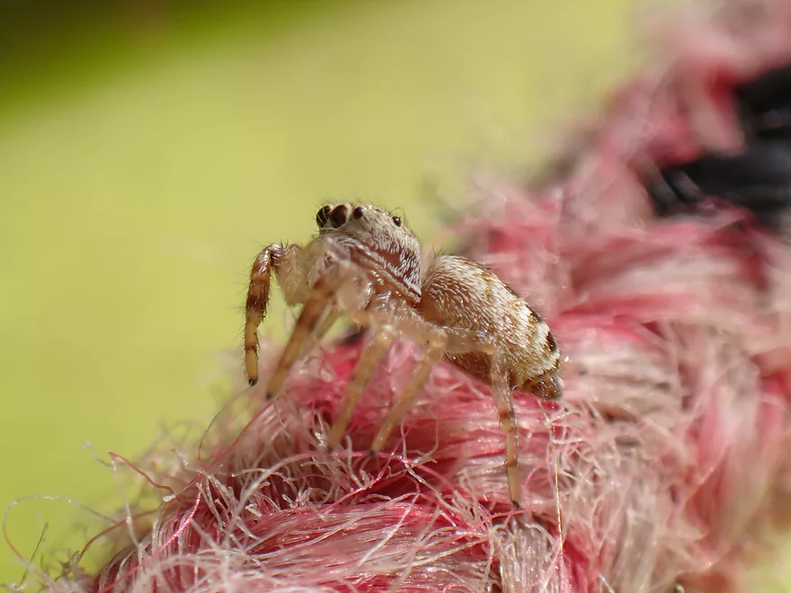
Jumping spider
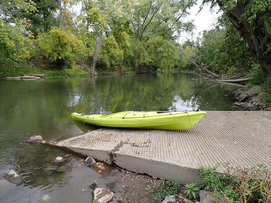
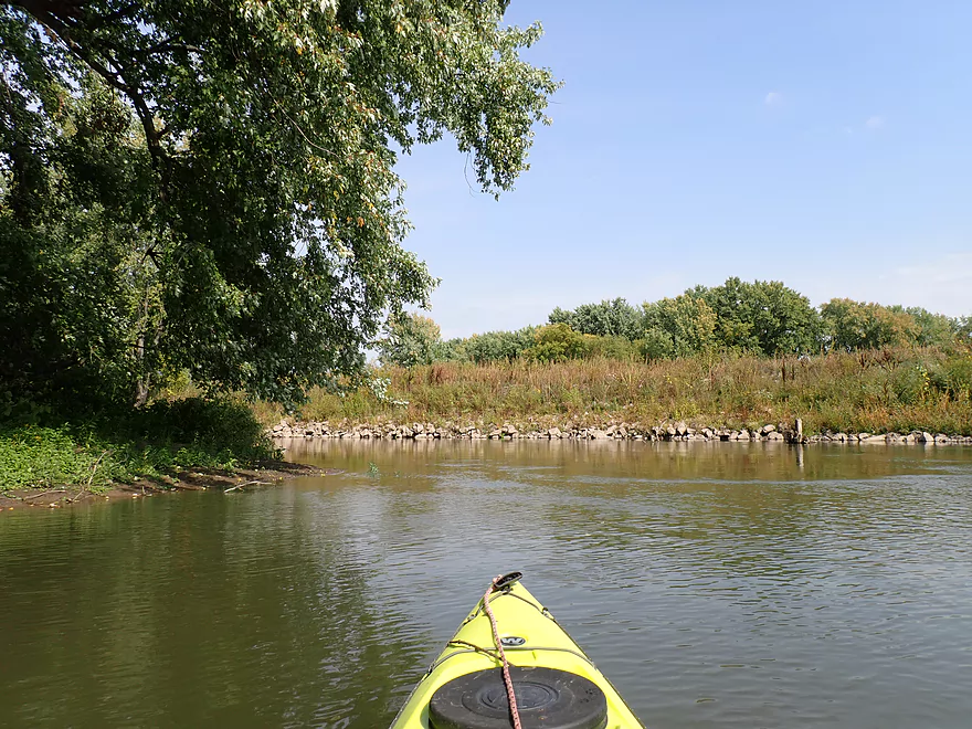
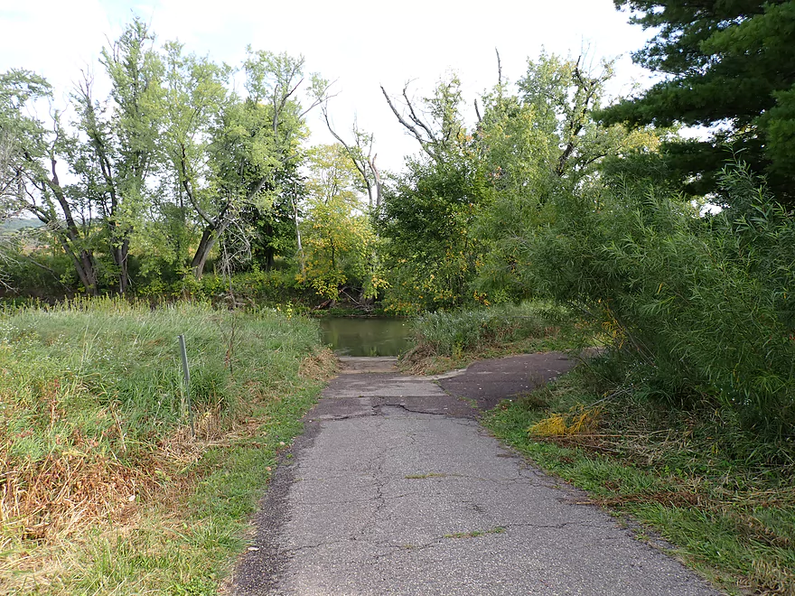
Taking out at Luebke Landing
Technically this is a boat ramp, but I doubt many power-boaters launch here
I was the only one at the landing that day
Baraboo River – Glenville Landing

Located mostly within Sauk County, the Baraboo is a popular paddling river with kayakers. Its best parts are upstream of Baraboo (which feature nice sandstone cliffs) and through the city of Baraboo itself which has some of better Class 1 rapids in Southern Wisconsin. The “Lower Boo” after the city though becomes less interesting and is less popular with paddlers. But it’s still my goal to explore all of it. This week, I paddled Glenville Landing to Luebke Landing which is the subsequent leg after the city of Baraboo.
I started at the Glenville Landing which is a great public access. I was the only kayaker there, and I suspect most paddlers have been scared off the Boo this year because of the drought (which would be an overreaction). Certainly though the river has been impacted by the lack of rain and I had to hike across a decent gravel bar just to launch.
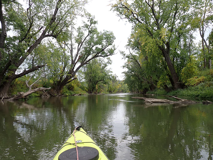
The first half of the trip honestly wasn’t that interesting. The channel contained high muddy banks and a thin layer of floodbottom trees that separated the river from adjacent farm fields. Many of the trees were dead…killed perhaps by previous floods, disease, or insects. Parts of the river were long and straight…suspiciously so and I suspect many decades ago farmers straightened and banked the river to keep it from encroaching into their farm fields.
Past the Double K-D Ranch Campground, the scenery did improve somewhat with nice tree canopies. There was a bit of fall color, but by my estimate the Baraboo River was still at least two weeks away from peak color. Past the campground the river started to meander a bit more and there were a few sandy/clay banks which added character to the trip.
With the Baraboo River you ALWAYS have to be concerned about logjams, but there were none I had to portage on this trip. There were certainly downed trees here and there, but the river was so wide there was always an escape path around the big blockages (even if very small).
The trip ended somewhat sooner than expected at Luebke Landing…a testament to the deceptively quick current.
In summary this was an ok trip, but nothing special. Most of the other Baraboo River trips I’ve done have been better. Who should do this trip? Maybe Sauk County locals who have already done the more scenic stretches of the Boo and are looking for a new adventure. It’s also a good trip for lazy paddlers as the current is decent, there likely won’t be logjam portages, and for those who hate wading shallow spots this is a very drought resistant stretch.
Sights included a number of small turtles, ducks, geese, vultures and what looked like an owl.
Glenville Landing (Hwy 113): This is an excellent public access. Only downside is it can get a bit muddy after a big rain.
Alternate Put-ins:
- Haskins Park (4.4 miles upstream from Glenville Landing): From Haskins to Glenville is one of the best stretches of the river…highlights include many rapids and seeing parts of historic Baraboo. This stretch can get very low during droughts.
- Maxwell-Potter Conservancy (1.1 miles upstream from Glenville Landing): Most of the main rapids peter out by the Conservancy, but there are still some and this leg is still scenic.
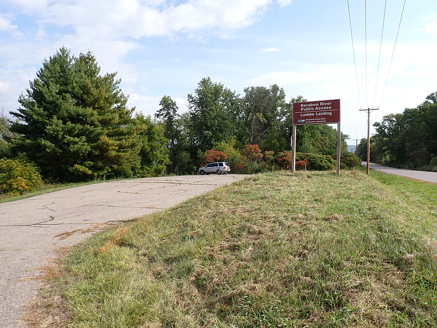
Luebke Landing: This is an excellent access, and is actually a boat ramp. But I doubt many powerboaters launch on the Baraboo.
Alternate Take-outs:
- Hwy 33 (3.5 miles downstream from Luebke). I believe this leg is relatively nice. It’s definitely more hillier than the Glenville to Luebke leg and passes through the famous “Lower Narrows”.
Bike Shuttle: Luebke Landing to Glenville Landing – 3.5 miles with 36′ of ascent. This is a relatively easy bike shuttle. Only downsides are that traffic on Cty Road W is a bit heavy (perhaps because of the Hwy 33 construction), and the shoulders are a bit narrow.
Rentals/Shuttles: Multiple liveries used to service the Baraboo, but as of 2023 all are out of business. If you want to get into the shuttle/rental business…”Baraboo River Canoe & Kayak Rentals” is for sale to anybody interested.
Rapids: None
Fences: None
Logjams: While there is debris in the water, I never had to portage any of it. This stretch is unpredictable though and could provide a surprise logjam or two in the future, so paddlers should stay vigilant.
Current: While never fast, the current is deceptively quick and can be a bit pushy in spots.
Strainers: There are a number of strainers and downed trees in this stretch. Alert/sober paddlers should have little difficulty in getting past most. A few will require some limbos. Note, because the current moves at a good pace, several of the strainers could easily turn and flip unaware paddlers. I highly recommend wearing a life jacket on this stretch.
Trip depth: 240 CFS or 7.34′ per the nearby Baraboo River Gauge.
Depth Guide:
- < 7.0′: I doubt the river ever gets this low. Even so this stretch should still be navigable.
- 7.1-7.5′: Low depth, but plenty navigable.
- 7.6-8.0′ Average depth.
- 8.1-8.7′: Above average depth. Current will be faster, muddier and may push paddlers into strainers.
- 8.8-9.5′: Very high depth. Only suitable for expert paddlers.
- 9.6-11′: Minor flood stage. River will be dirty, unpleasant and likely dangerous.
- 11.1’+: Very high levels. Not recommend for kayaking at all.
Detailed Overview
- Nutmeg Road to Hwy PP: 6.2 miles. Flows by the historic Elroy-Sparta Trail and is mostly open, but there are a few logjams. This is a narrow small stretch that will need very high water to be runnable. There are scenic outcrops on this stretch….maybe 3.
- Hwy PP to 2nd Main Street: 1.6 miles. Maybe 3 logjams.
- 2nd Main Street to Franklin Street: 0.9 miles. Maybe 1-2 logjams. Trip starts at a scenic covered bridge and on Class 1 rapids.
- Franklin Street to Hwy 82(South of Lincoln Street): 0.5 miles. A good stretch that is mostly open and has maybe one outcrop.
- Hwy 82(South of Lincoln Street) to Schultz Park: 0.6 miles. Maybe 2 logjams.
- Schultz Park to Hwy 82(South of Snyder Road): 4.0 miles.
- Schultz Park to Hwy 82(North of Lumsden Road): 0.6 miles. One outcrop, one logjam portage and a few tight fits.
- Hwy 82(North of Lumsden Road) to Hwy 82(South of Snyder Road): 3.4 miles. Three outcrops, three significant logjams and several tight fits. A section with good potential but needs cleanup work.
- Hwy 82(South of Snyder Road) to Hwy W: 1.9 miles. Maybe 2-3 jams…think this is doable though.
- Hwy W to Hwy 82/Union Center: 1.3 miles. Good prospect by the golf course with maybe 2 outcrops. Maybe 1-2 logjams.
- Hwy 82 to Hwy FF Landing/Wonewoc: 7.1 miles. A great section with one of the largest rock outcrops on the river.
- Hwy FF Landing to Wayside Park: 2.9 miles. There used to be a lot of logjams here. I think it might be doable…maybe 2-3 major portages.
- Wayside Park to Kalepp Road: 4.5 miles. An uninteresting part of the river with weedy, muddy banks. But…there are three fantastic sandstone outcrops.
- Kalepp Road to N. Dutch Hollow Road: 5.3 miles. One logjam portage with several “hoppers” and “duckers”. There are some outcrops but most are recessed and away from the river. Mud and downed trees are a bit unsightly, otherwise a pleasant paddle.
- N. Dutch Hollow Road to La Valle: 3.8 miles. Second best section on the entire river with great rock outcrops.
- From La Valle to Lake Redstone: 3.6 miles. One of the more underrated sections of the Boo, which I really liked.
- Lake Redstone to Monument Park/Reedsburg: 9.0 miles. Supposedly kind of boring, but the logjams should be cleared out.
- Monument Park to South Park: 1.4 miles. Spanning the length of Reedsburg, this should be a nice section mostly free of jams.
- South Park to Golf Course Road: 4.7 miles. Maybe 4-5 logjams. Probably one too many. Should be 1-2 small sandstone outcrops. Golf Course Road might not be a good access.
- Golf Course Road to Hwy 136(by Beth Road): 3.6 miles. Maybe a few jams. Likely mostly floodplain paddling and probably uninteresting.
- Hwy 136(by Beth Road) to Hwy 136(by Ableman’s Gorge): 6.0 miles. Maybe some outcrops at the end, but mostly uninteresting paddling I suspect. Likely several serious logjams with difficult portages because of the high muddy banks.
- Hwy 136(by Ableman’s Gorge) to North Freedom Boat Launch: 8.2 miles.
- Hwy 136(by Ableman’s Gorge) to Rock Springs Boat Launch/Firemen’s Park: 1.3 miles. One of the most scenic parts of the entire Baraboo River. Highlights include a steep gorge, riverside boulders and scenic outcrops.
- Rock Springs Boat Launch to North Freedom Boat Launch: 7.1 miles. This is a nice paddle, but with some downed trees to dodge and one to portage. Highlights include historic railroad bridges, scenic outcrops, and seeing the railroad museum from the river.
- North Freedom Boat Launch to Giese Park: 7.4 miles.
- North Freedom Boat Launch to Kohlmeyer Road: 4.3 miles. Stretch starts nice as the river naturally curves and has many shade trees. There is a scenic long outcrop after Seeley Creek. River becomes boring after that except for a scenic railroad bridge and a few rocky banks. Kohlmeyer Road isn't a great bridge access.
- Kohlmeyer Road to Giese Park: 3.1 miles. Some longer and less interesting stretches. There is however a unique large volume artesian well, and a historic railroad tunnel you can wade under.
- Giese Park to Gander Outdoors: 2.9 miles. A pleasant but simple farm country paddle. Highlights include the Skillet Creek bridge, the towering Hwy 12 bridge, and a rock outcrop upstream of Hwy 12.
- Gander Outdoors to Glenville Landing: 4.9 miles. A fantastic stretch through the heart of Baraboo with many light rapids.
- Gander Outdoors to Haskins Park: 0.6 miles. A good stretch with some fantastic rapids upstream of Hwy 136.
- Haskins Park to Maxwell-Potter Conservancy: 3.3 miles. The best section on the entire river with many rapids.
- Maxwell-Potter Conservancy to Glenville Landing/Hwy 113: 1.1 miles. A pleasant stretch, but lacking in rapids.
- Glenville Landing to Luebke Landing: 5.1 miles. A pleasant trip, but a little boring at times. I would rate this as one of the more uninteresting sections of the Baraboo. On the plus side it had no logjams (as of 2023) and remains plenty navigable even during big droughts.
- Luebke Landing to Hwy 33: 3.5 miles. This might be one of the better legs on the Lower Baraboo.
- Hwy 33 to Wayside Park: 8.0 miles. A stretch I’m curious about.
- Wayside Park to Hwy U: 3.9 miles. Simple but pleasant short section flanked by busy interstates.
- From Hwy U to the mouth: 5.3 miles. The final leg running through floodplain forest.
Notable Baraboo River Tributaries:
- West Branch of the Baraboo River: For the most part, too many logjams, but the flowage by Hillsboro is navigable with scenic outcrops by the dam.
- Dutch Hollow Lake: A heavily developed lake and popular with locals. Not as great as Lake Redstone but still nice. Dutch Hollow Creek is likely too shallow to run, but it (and the bike trail) goes past a fantastic and huge exposed rock face.
- Hemlock Slough: A nice little lake paddle with many rock outcrops and attractive hemlocks.
- Little Baraboo River: For the most part too many logjams. However the small flowage by Cazenovia Memorial Park is navigable and there are small outcrops both below the dam and on the northwest corner of Lee Lake.
- Lake Redstone: Definitely a fun paddle with fantastic red rock formations, a swimming beach, and a spillway waterfall.
- Big Creek: You can’t get too far upstream because of logjams, but there is a nice outcrop by Hwy F and this can be combined with a trip on the north side of Lake Redstone.
- Narrows Creek: There is a neat section by Weidman Memorial Park with boulders and light rapids with I believe nearby outcrops downstream. Unfortunately there are likely too many logjams. I did partly paddle a nice downstream portion from the mouth on the Baraboo before I hit a logjam and turned back.
- Seeley Creek:
- Hwy PF to Seeley Lane Boat Landing: 3.6 miles. A mix of creek and flowage paddling. Ok…maybe 2 logjams.
- Seeley Lane Boat Landing to Freedom Road: 1.7 miles. Probably too many logjams on this section.
- Freedom Road to Mouth: Neat stretch of the creek, but some logjams.
- Skillet Creek:
- From Gasser Road to Pewit’s Nest: Gorgeous, but filled with logjams.
- Pewit’s Nest: Stunning scenery, but the ledges are likely too steep and narrow for kayaking. Best experienced as a hike.
- Pewit’s Nest to Hatchery Road: A bit of nice geology, but likely small with several logjams. Neither endpoint is a great access.
- Rowley Creek: A scenic creek, but shallow and with hostile locals.
- Leech Creek: From Hwy U to Tritz Road would be 2.5 miles. Likely open and an easy paddle, but uninteresting because of the artificial channelization.
- Long Lake: A very slow creek that empties into the Boo close to the Wisconsin. There could be serious logjams by the mouth, but the upper sections are plenty navigable and are paddled by locals.
Trip Map
Overview Map
Video
Photos Size: