
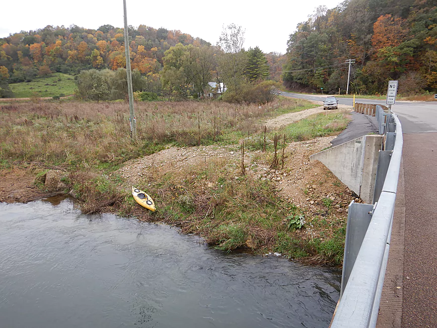
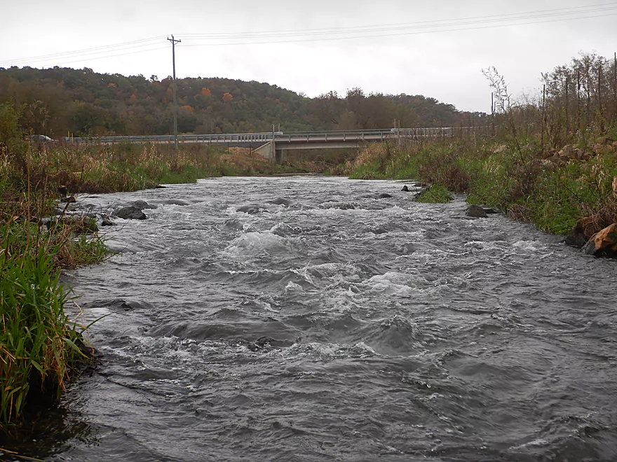
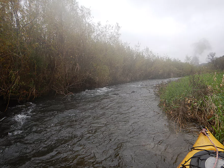
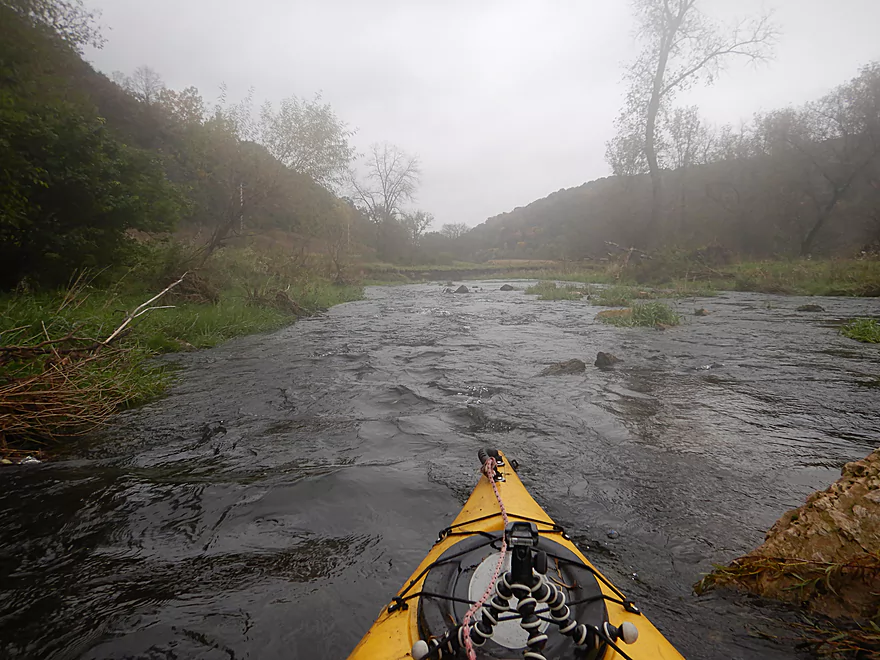
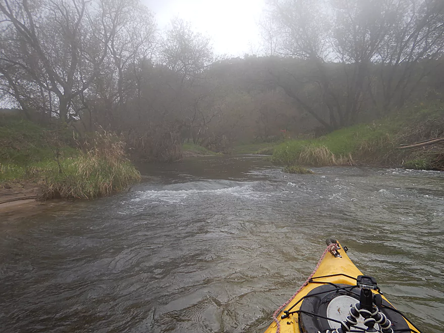
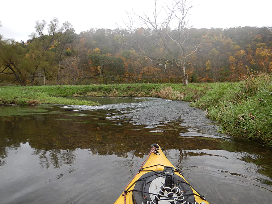
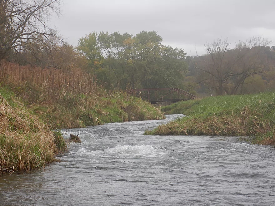
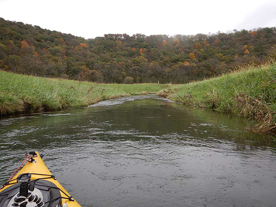
Starting the trip at Hwy B by Kielen Road
Pretty good access option
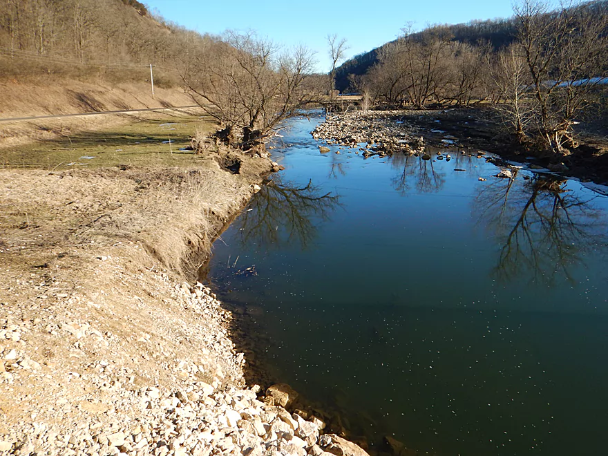
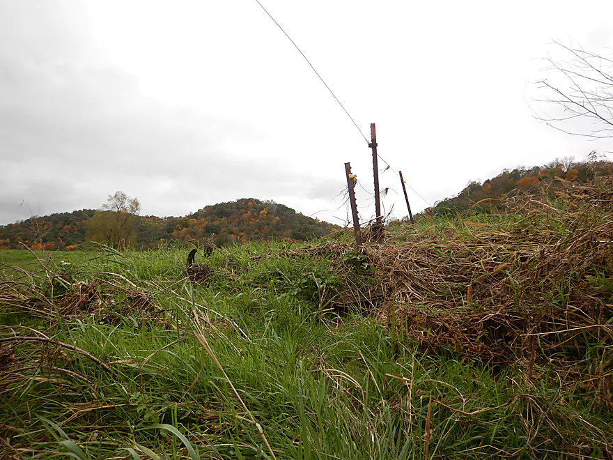
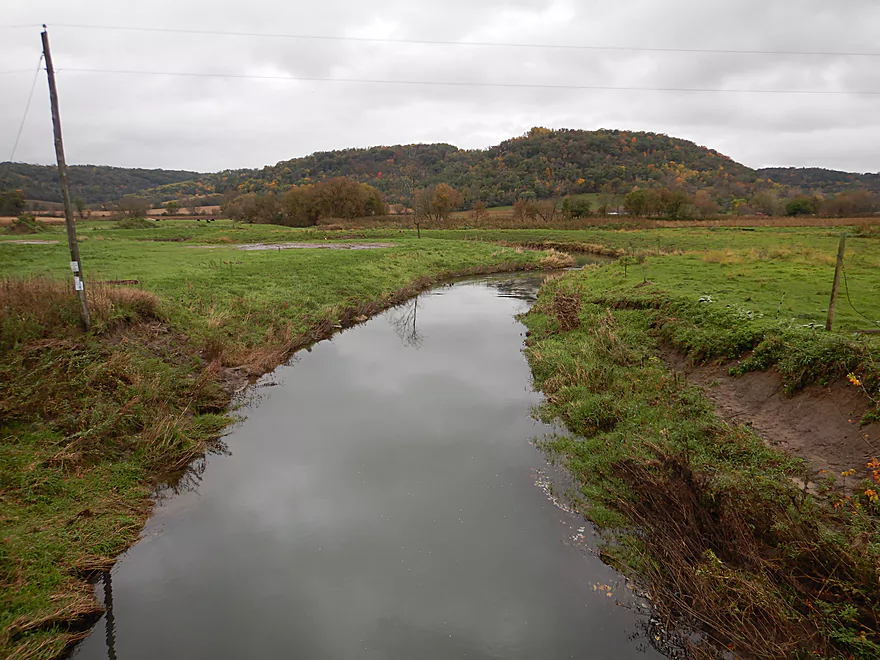
View two years ago during trout construction
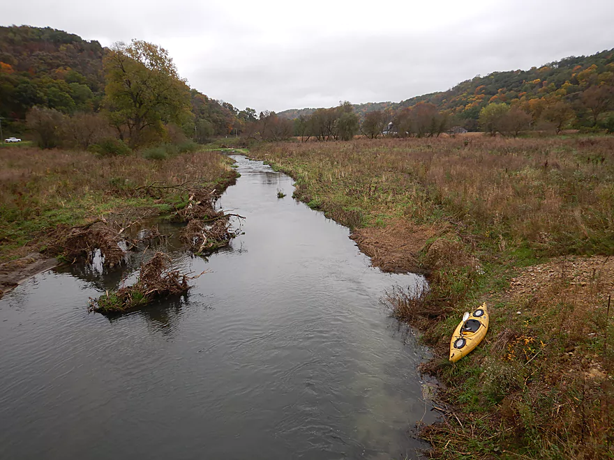
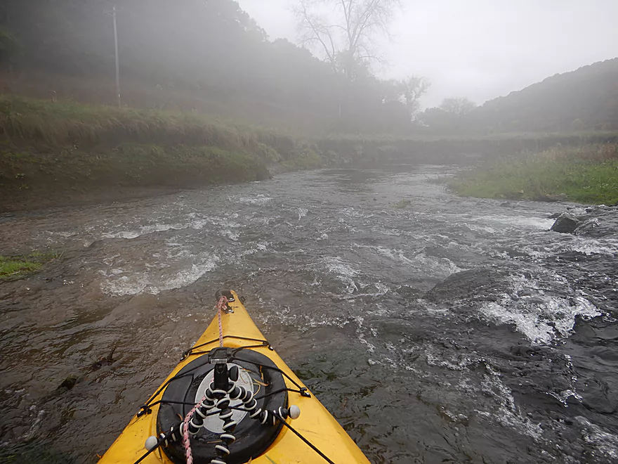
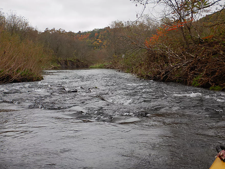
The first of many
Reverse view
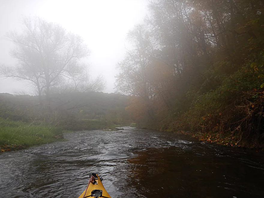
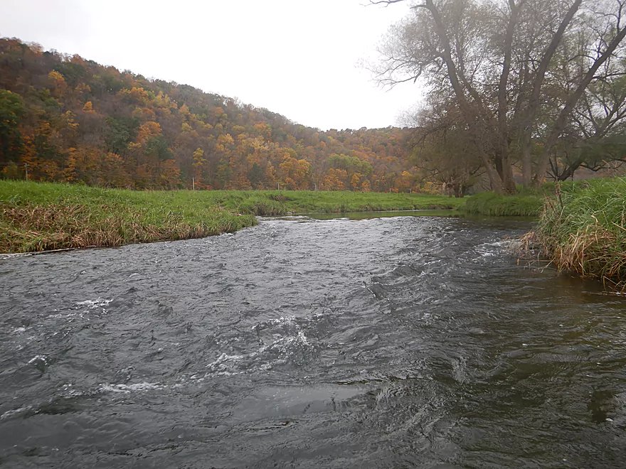
The first mile was pretty shallow
Recent floods cleared the channel of logjams
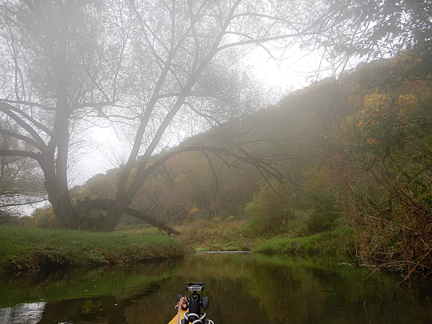
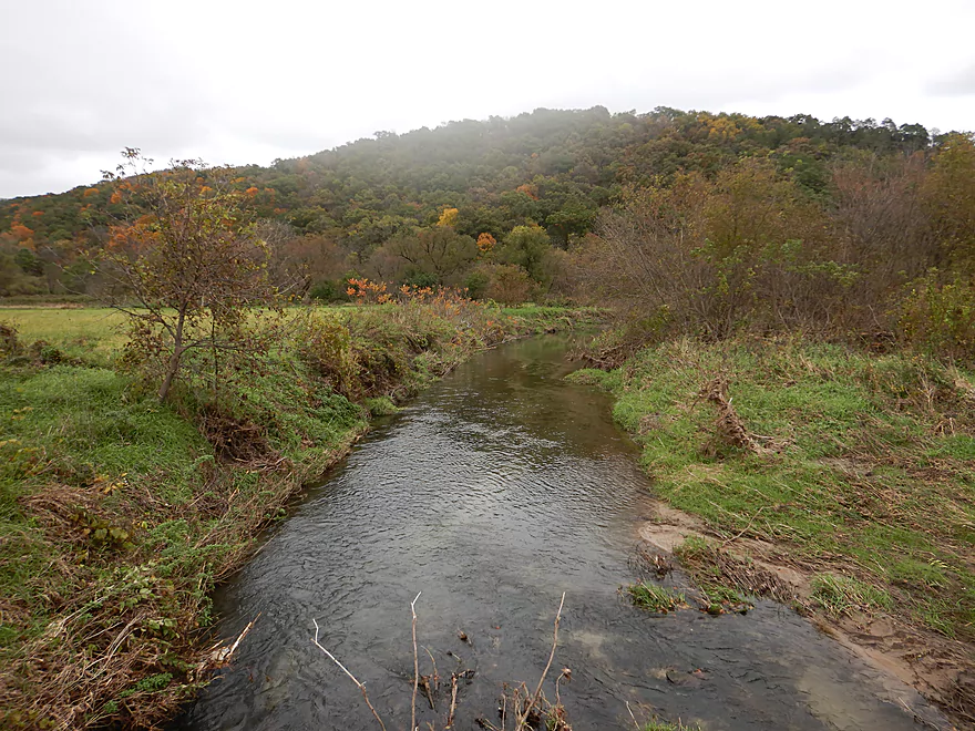
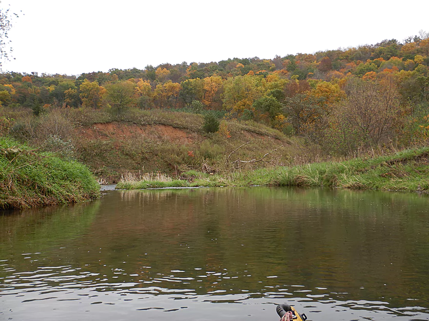
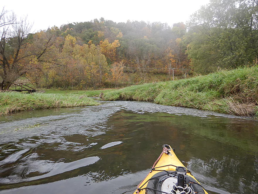
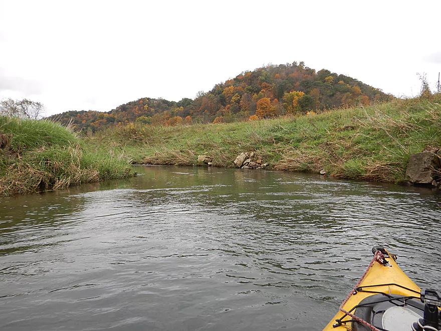
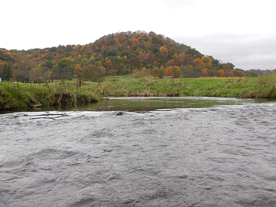
Great area for fall color
A deceptively tricky strainer…I got flipped around
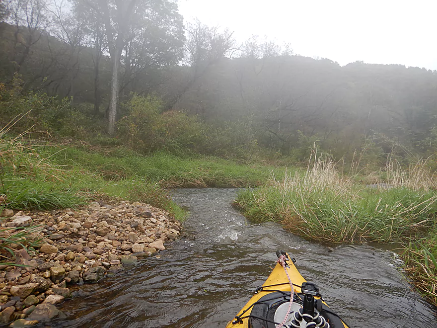
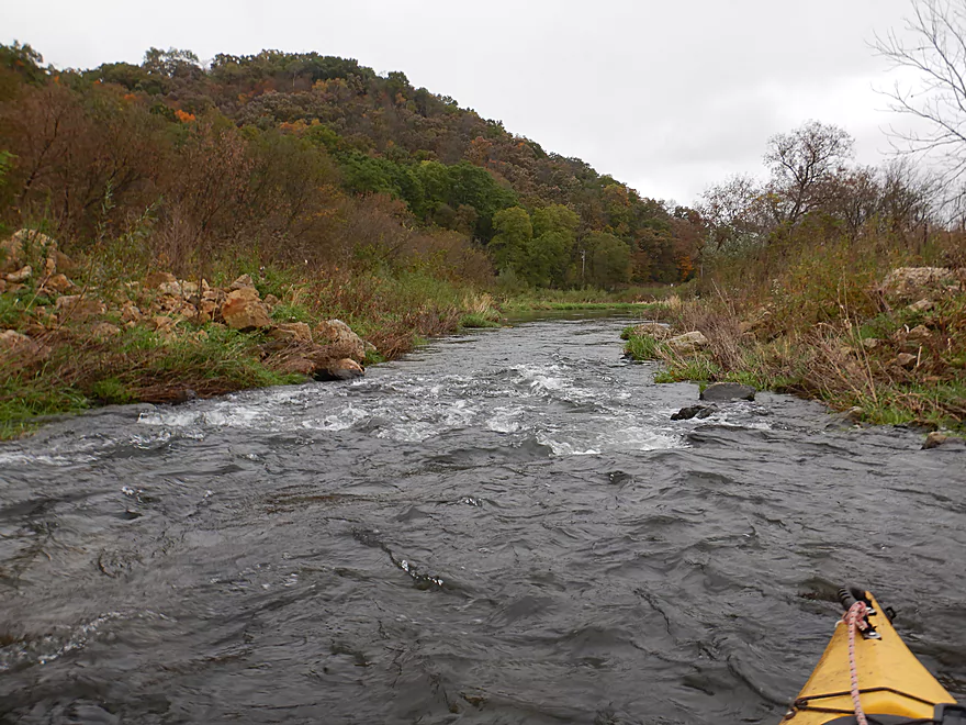
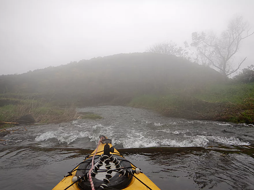
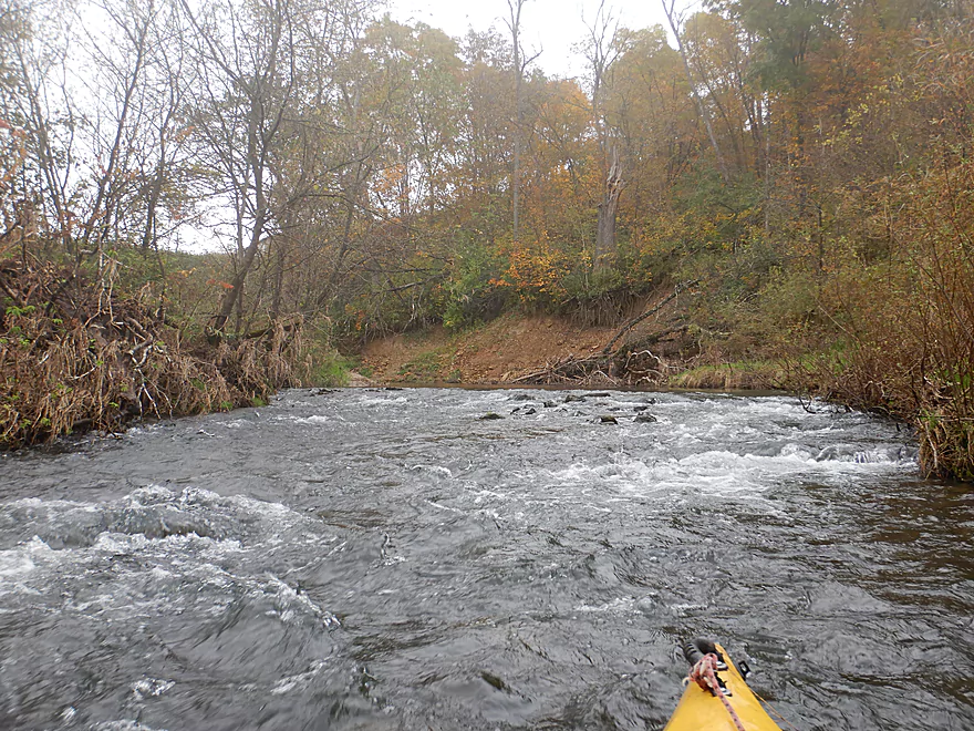
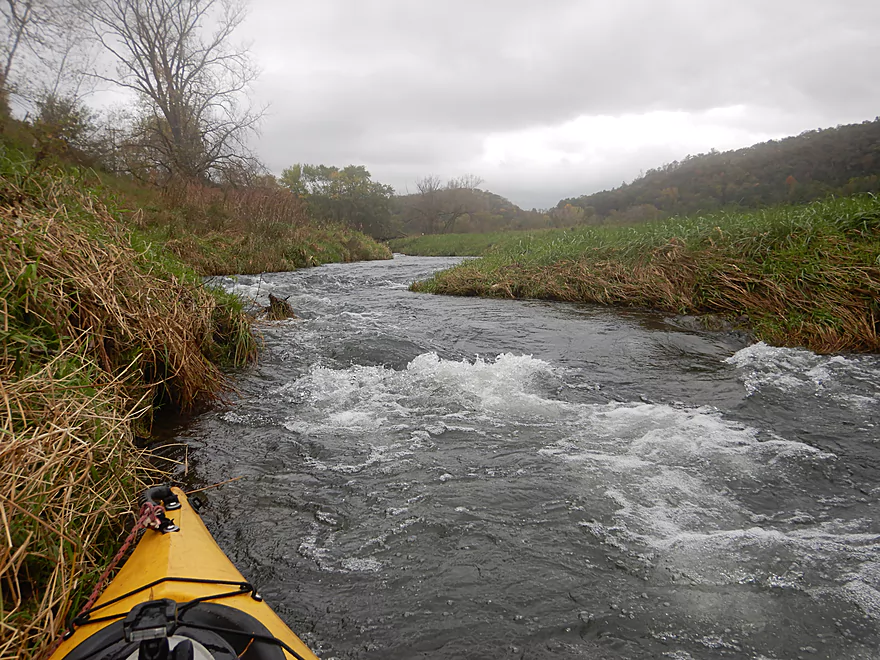
Some of the chutes were quite narrow
View of some of the narrowest chutes
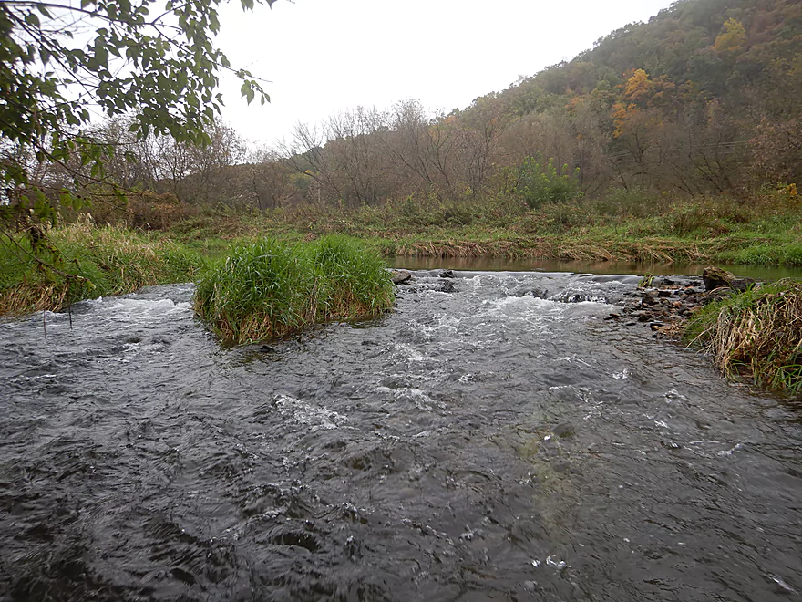
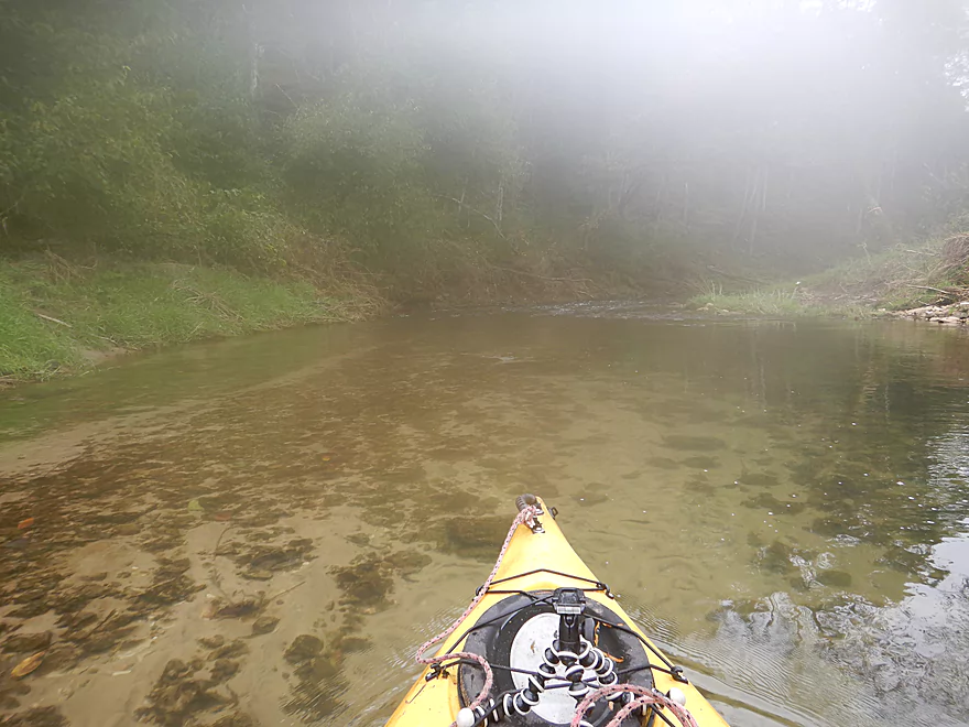
Wee Drive is a good access option
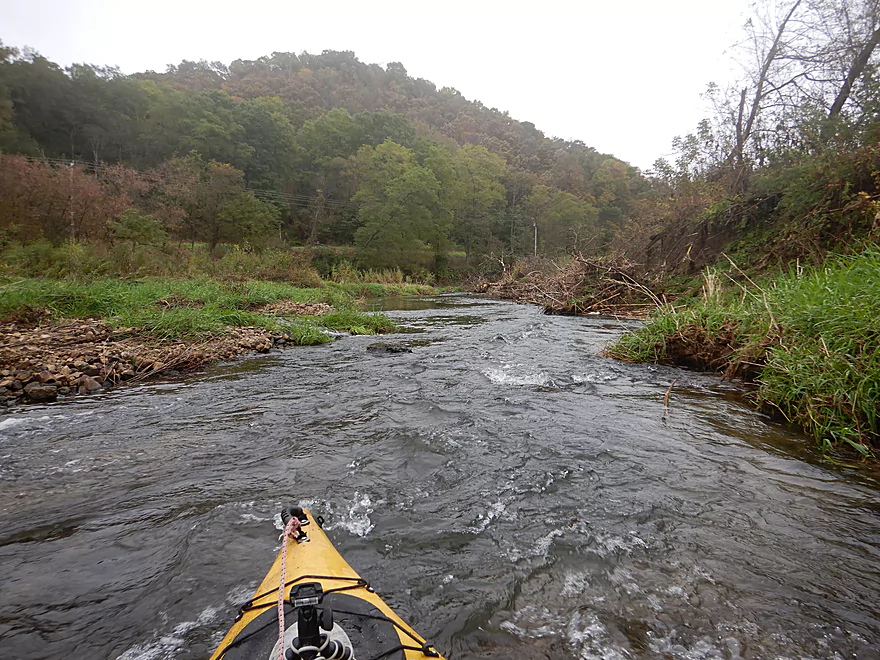
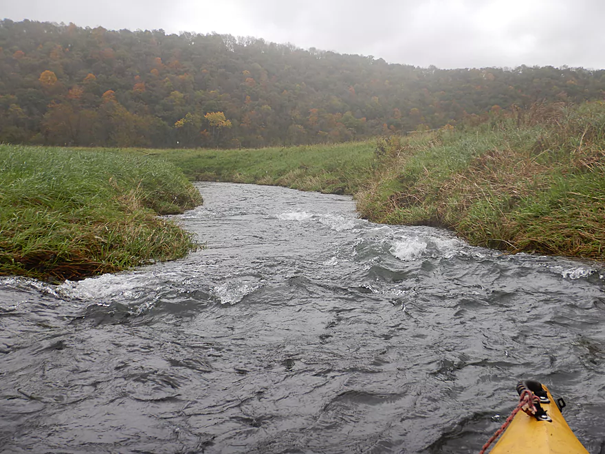
Current really moves along
Same view but from two years ago
Fog on the inside of my camera lens…
Super frustrating
Foggy pictures do not reflect how scenic this was
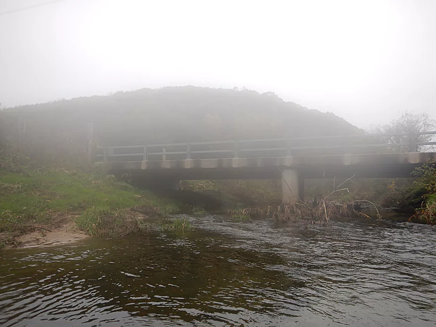
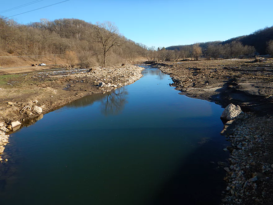
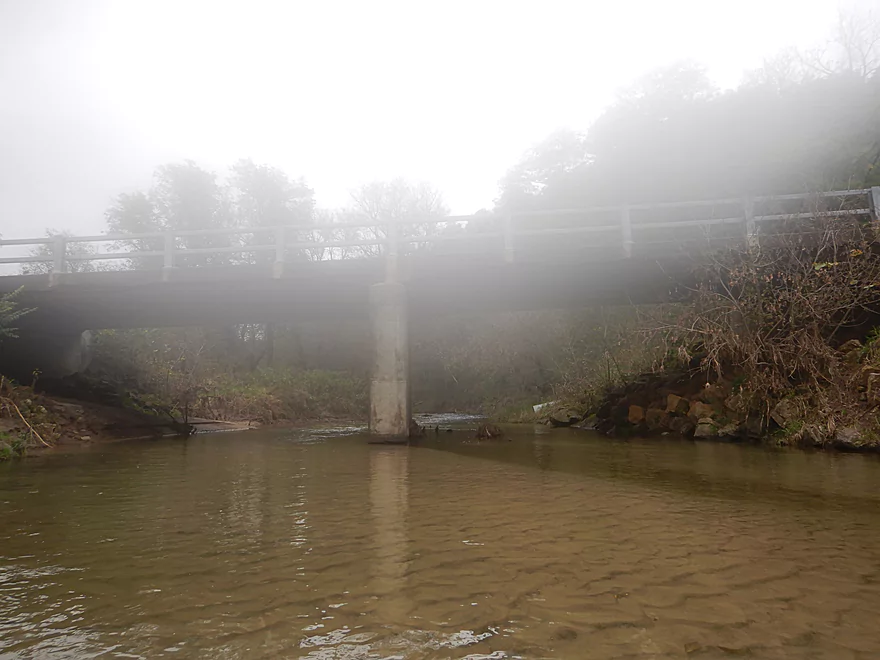
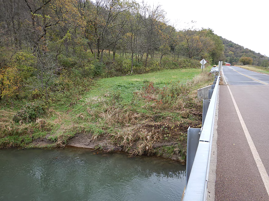
Hwy B by Norwegian Hollow Road
View from the bridge
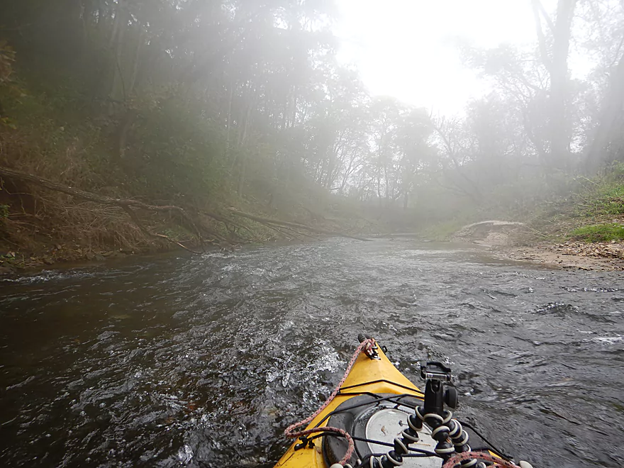
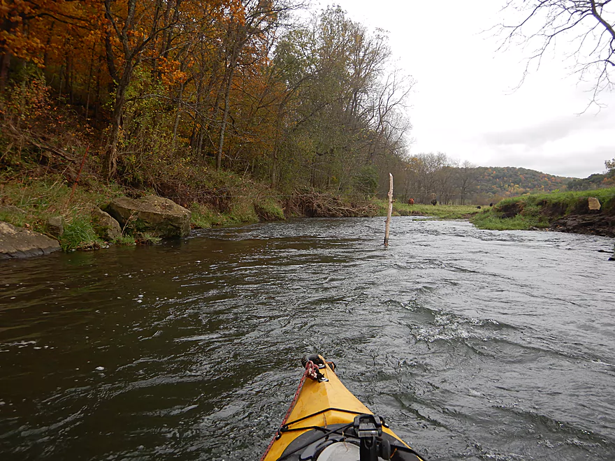
Not as many rapids but still quite a few
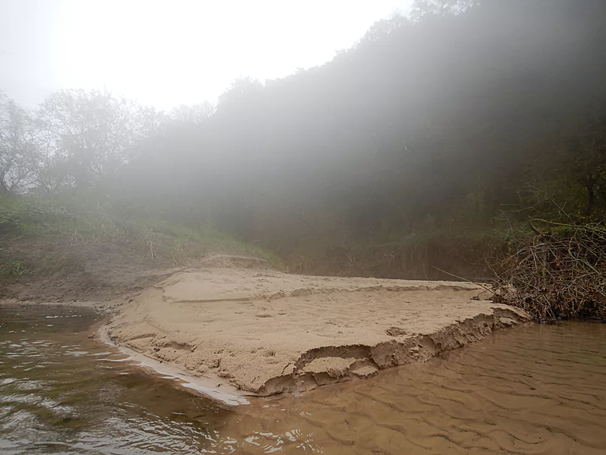
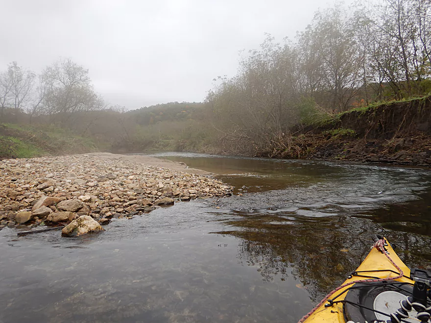
Surprised to see sandbars on such a small creek
Water clarity was fantastic
Only notable logjam…I was able to hop over (far right)
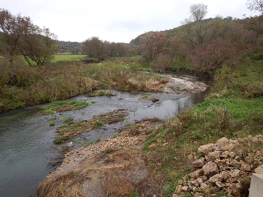
Hwy C
So many foggy pictures in the next mile…most were tossed
A very rocky creek
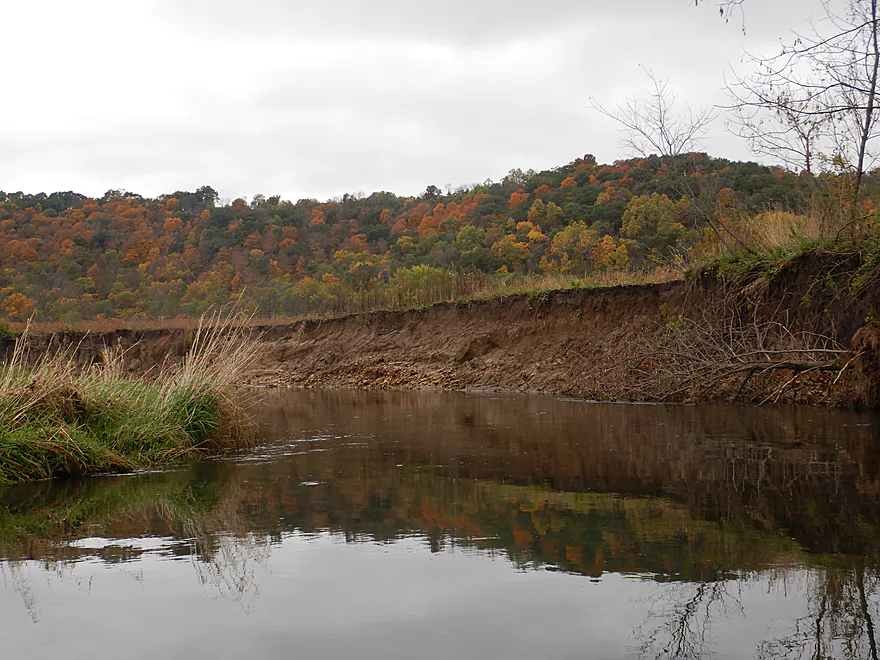
My fog issues are partly fixed…this is a nice clay bank
And another
The channel is much bigger below Hwy C because of several tributaries
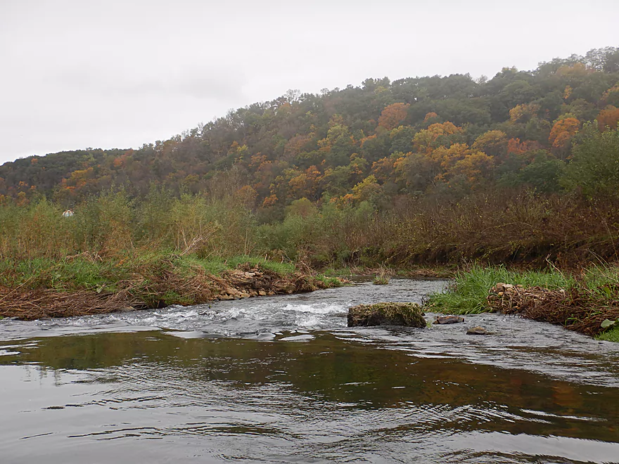
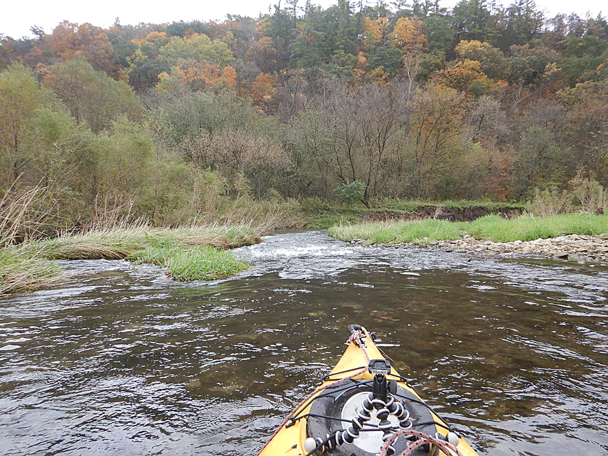
One of the more scenic sets of rapids
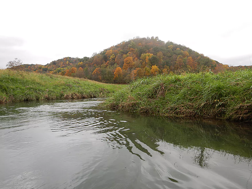
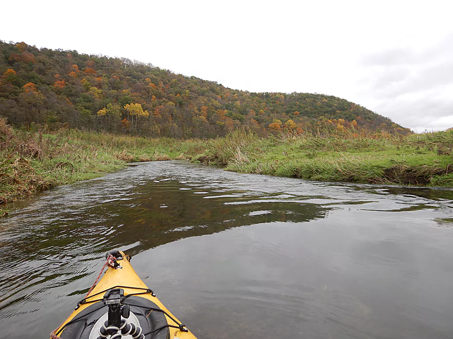
The entire paddle was inside of these scenic driftless valleys
A pine stand but no outcrops
Longest set of rapids
Still some shallow areas but not as many
Cow racing to cross ahead of me

A neat little chute
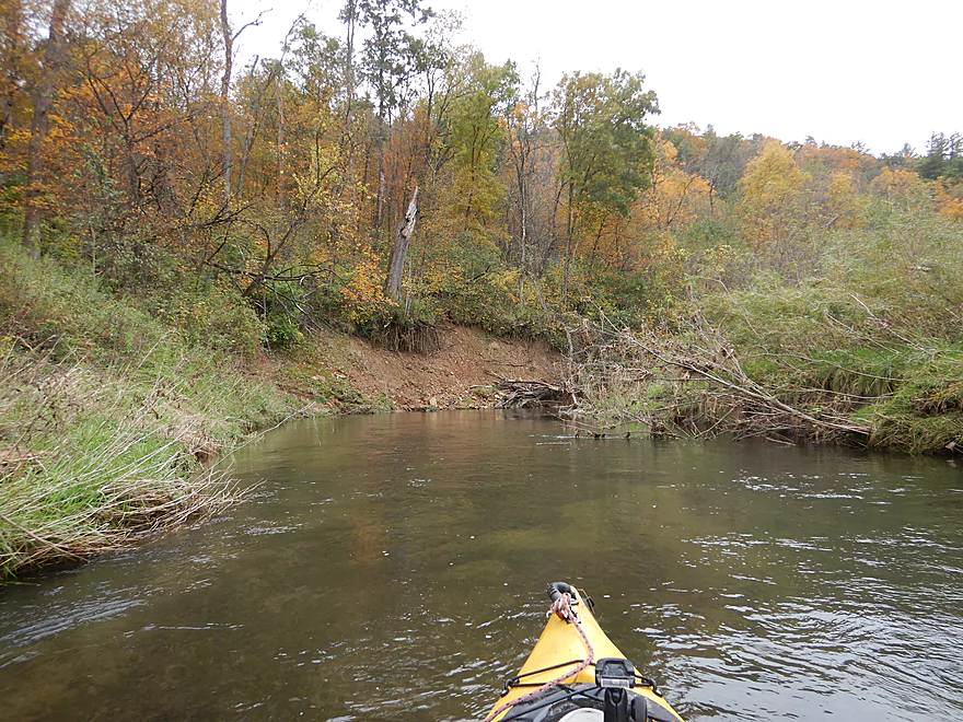
More great fall color
The creek bounces between the valley hills
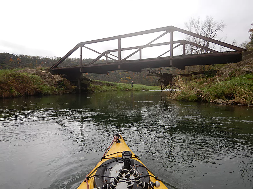
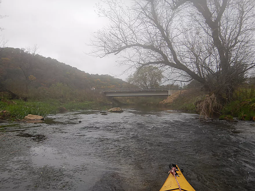
This bridge is a popular access with trout fishermen
Another great chute
Close view
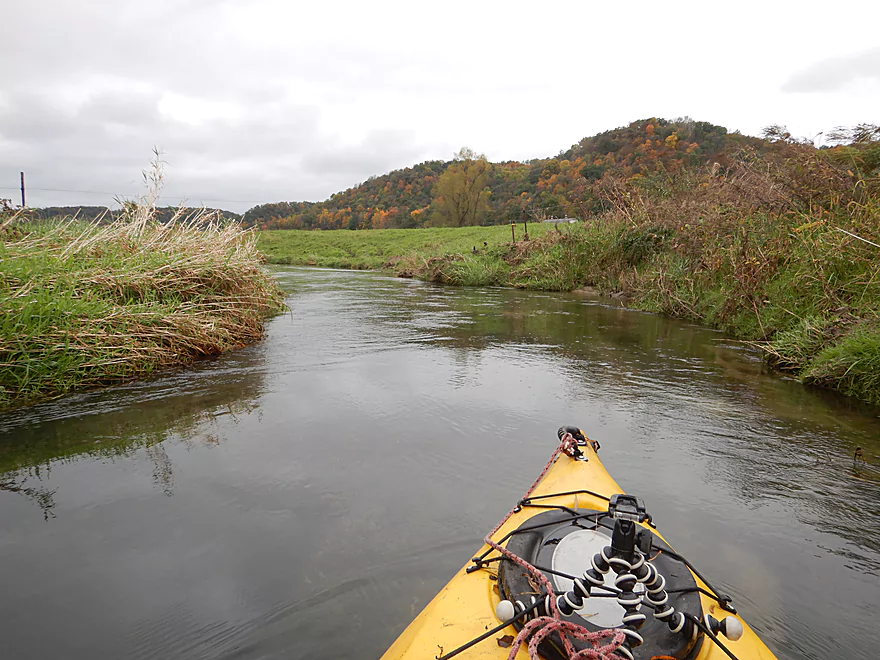
Grazing keeps these creek banks open
More great scenery
Looks like some artificial bank work
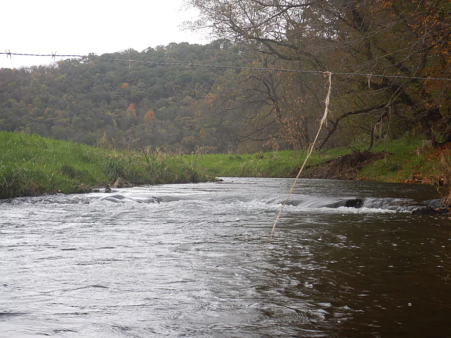
One of 3-4 fences…all were super easy to get under
Rapids are slowing down…but still some ledges

Back to the east side of the valley
Another cow fence
Easy to get under despite the fast current
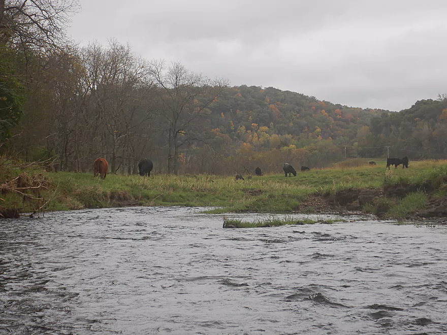
Another herd of cattle
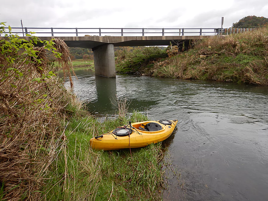
Taking out at Hwy B by Pine Knob Road
Mediocre access…used by trout fishermen
View from the bridge
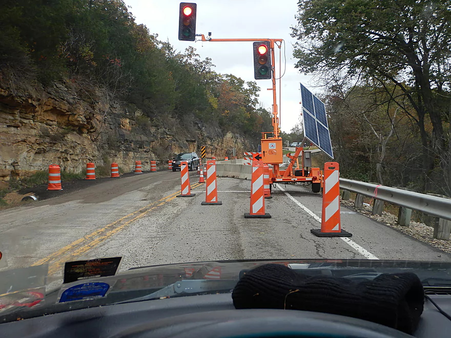
Driving home through Gays Mills…still suffering from the rain damage
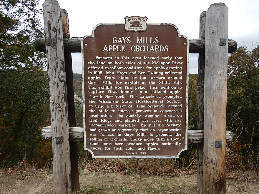
A unique area of the state
Tainter Creek


Tainter Creek is a small tributary to the Kickapoo River located in southwestern Wisconsin near Gays Mills. Unless you are a trout fishermen, chances are you haven’t heard of it as typically it is too shallow to be paddled. But during a weekend in which the Wisconsin USGS map was filled with dark blue and black dots (meaning high water) this was one of the few prospects on my todo list that was actually at a good depth.
I started the trip at Hwy B by Kielen Road. This like many of the area bridges is frequently used by trout fishermen which typically equates to being a decent kayak access. When I scouted this area two years ago, the stream banks were in disarray with exposed fill everywhere. I believe the DNR had done channel work on behalf of the fishermen…it looks much nicer now.
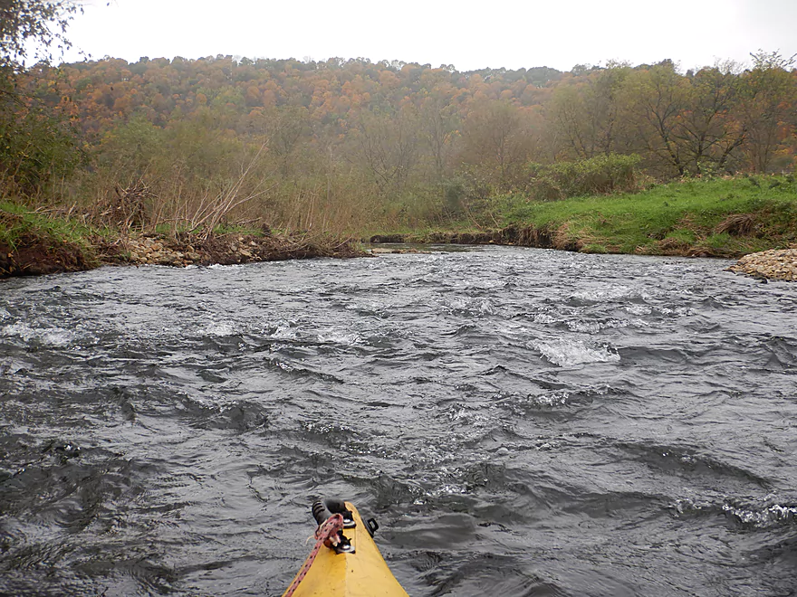
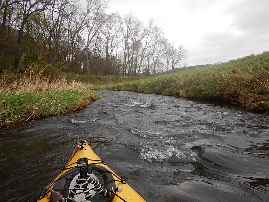
The first half mile was a lot of fun and the fastest part of the entire trip. It was also the narrowest and shallowest with many rapids…but was worth it IMO. I soon came to Wee Drive which is a doable access option.
At around this area the inside of my camera fogged up. No problem I thought…I would wait it out. But if anything it seemed to be getting worse. This was super frustrating as I take a lot of pictures during trips and moisture is not supposed to get on the inside of the lens of a “waterproof camera”. At a certain point I gave up waiting and just continued paddling and taking pictures…but this unfortunately this meant most of my pictures had a band of “fog” across the top which ruined most. Some of the more scenic parts of the creek I just could not photograph.
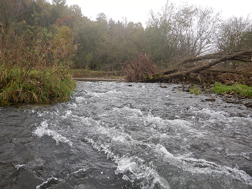
Continuing on, the creek stayed fast and flowed over a number of ledges and rapids including several Class 2’s. This area had been hit by heavy floods a few months earlier, which actually worked to the creek’s favor as many logjams had been lifted up, out, and onto the side of the channel. Nice to see floods doing good instead of evil. The only noteworthy jam was upstream of Hwy C and I was easily able to hop over that. But it should be noted there were several strainers which in conjunction with narrow rapids did create some harrowing moments (I got spun around 180 degrees in one spot). It’s all worth it though for the scenery though which was fantastic. Water clarity was top-notch and the substrate relatively mudless with nice gravel. There were even occasional sandbars.
Past Hwy C, the creek swelled considerably from two tributaries. While still fast, it did slow down a bit at this point. It was here I had the bright idea to store my camera under my fleece to warm it up. The theory being once the lens warmed up, the warm moist air inside the lens would no longer condense. This actually worked…but only for brief five minute periods before I had to return my camera back under my fleece. Very annoying.
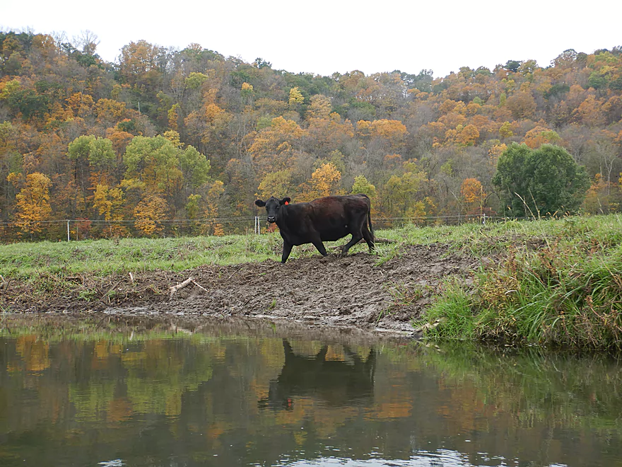
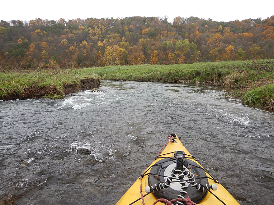
The second half of the trip was much more open. Cows graze here which opened up the banks and offered fantastic views of the adjacent driftless hills. For the entire paddle, I was flanked by driftless valleys which were at almost peak color and were gorgeous. There were even several exposed clay banks that were unique and striking. I had hoped to see rock outcrops (I know they exist on the creek) but didn’t which was one of my few disappointments.
Past a small farm bridge, I saw my third trout fishermen and encountered some of the strongest rapids of the trip. In this area I did come across a few herds of cattle, several of which chased after me (perhaps thinking I had food). With cows come fences, and there are 3-4 that span this creek including a few electric ones. But…these weren’t an issue as they were all hung with plenty of clearance to easily get under.
I concluded the trip at Hwy B near Pine Knob Road. I thought about taking out at the next bridge but was concerned about logjams. But given how many logs I saw pushed out of the creek channel, I wonder if that might have been possible after all.
In conclusion this was a great trip that was almost five stars…but at times was just a bit too bumpy. If you do this trip, wait for a big rain to make sure you have enough padding for the rapids. If you are worried about water levels you could simply launch at Hwy C as everything downstream from here is much more navigable.
A great blue heron, some trout, several herds of cows, and three trout fishermen. Some farmers have banded together to help preserve the Tainter Creek Watershed which is always nice to hear.
This is a unique town located in a unique part of the state. Located just southeast of Tainter Creek, chances are you’ll drive through it to reach the creek. Here the driftless hills are among their most rugged and the Kickapoo River flows through the heart of town. This area is famous for its fabulous apple orchards and there are six in close proximity to the city. In 2008 devastating floods engulfed many homes which resulted in 25% of the population permanently moving away. Some moved to a new settlement northeast of town and on higher ground.
In August of 2018, the area was hit with heavy rains and two dams on the West Fork of the Kickapoo failed. This sent a surge of water from the West Fork onto the main branch which resulted in huge floods in Readstown (3.5′ above 2008) and Gays Mills (1.9′ above 2008). Many not affected by the 2008 floods were hit by the 2018 floods. So poor Gays Mills has really been hit hard. Dam failures are always possible and hopefully communities in the state will be more receptive to removing them. Not only would this improve safety, but it would improve the ecology on area watersheds and make paddling on them much more interesting.
I started the trip at Hwy B (near Kielen Road) which was a good access with an established shoulder area for parking.
An alternate upstream put-in would be at either of the two Tainter Hollow Road bridges (1.7 + 0.9 miles). Here the creek is very small with a few jams but would be scenic and would likely include outcrops like this one).
An alternate access 0.7 miles downstream would be Wee Drive. This would skip the shallowest part of the trip but also one of the funnest. Downstream Hwy B and Hwy C are also access options and here the creek is much larger.
The take-out at Hwy B (by Pine Knob Road) was mediocre. The bank was a bit steep, but it wasn’t too difficult to get out and to drag my boat to the shoulder. This is another bridge that is used by trout fishermen.
An alternate access 2 miles downstream would be at W. Point Road. This would be slower with higher banks and have maybe 2-5 logjams. But from my car I could see where the river had floated many of the logjams out of the channel and onto the adjacent banks…so this could be open now.
Or you could continue an additional 0.7 miles downstream and take out on Hwy B over the Kickapoo where there is a public landing.
The bike shuttle wasn’t too bad at 4.0 miles. There were a few hills, but for a driftless shuttle this was relatively flat.
Logjams: None. That was a big surprise.
Strainers: There were several tricky strainers which with the fast current tried to push me under the adjacent brush lines. I got 180’ed once (1:54 in the video).
Cow Fences: I think I remember 3-4 fences…half seemed electric and half barbed. These weren’t a problem though because they were hung high over the creek and it was super easy to get under them.
Cows: The last part of this trip goes through cow country. I encountered several herds and they were for the most part friendly. I thought I did see one bull though which is always a concern. Trout fishermen frequent this creek so I would think there shouldn’t be any major problem animals.
Rapids: This is a whitewater creek with countless Class 1 rapids and a handful of Class 2s. Many of the rapids were shallow and I bumped my way down. Also several were narrow and a bit tricky to navigate. This trip is only suitable for small maneuverable boats.
This is a shallow trip only navigable in high water. The shallowest and bumpiest parts of the trip were upstream of Hwy C and Wee Drive. A rough analogue is the Kickapoo at Ontario gauge but this is likely not very accurate.
- 0-80 CFS: Far too shallow.
- 81-130 CFS: Likely too shallow upstream of Hwy C. Downstream of the bridge it would be doable but very bumpy.
- 131-175 CFS: Very bumpy but doable on the upstream portions. Downstream portions would be at a good depth. I did the trip at 150 CFS.
- 176-230 CFS: Likely a good depth. Some of the strainers might be tricky at this point.
- 231-300 CFS: A very high depth. Could be a really fun whitewater paddle but would likely be suitable only for experienced whitewater paddlers.
- 301+ CFS: Maybe too high? I don’t know.
For exact access locations, see Overview Map:
- Tainter Hollow Road(1) to Tainter Hollow Road(2): 0.9 miles. Maybe a few jams. Very small. Perhaps some outcrops.
- Tainter Hollow Road(2) to Hwy B: 1.7 miles. Small with maybe one logjam. Perhaps scenic outcrops such as this one.
- Hwy B to Hwy B (by Pine Knob Road): 5.4 miles.
- Hwy B to Wee Drive: 0.7 miles. Super narrow and super fast. A lot of fun but can be bumpy.
- Wee Drive to Hwy B: 1.3 miles. Fast, windy and scenic.
- Hwy B to Hwy C: 0.4 miles. Some trees to dodge, but nothing that had to be portaged.
- Hwy C to Hwy B: 3.4 miles. Creek grows significantly from tributaries. Scenic with the best views of the driftless hills. There are cattle and cattle fences in this section.
- Hwy B (by Pine Knob Road) to W. Point Road: 2.0 miles. Slower section with higher banks. Maybe 2-5 logjams. But recent flood water may have floated these out of the channel.
- W. Point Road to Kickapoo Mouth/Hwy B Landing: 0.7 miles. Open and more generic section. 0-1 logjams. Take-out is on the Kickapoo River.
Trip Map
Overview Map
Video
Photos Size: