
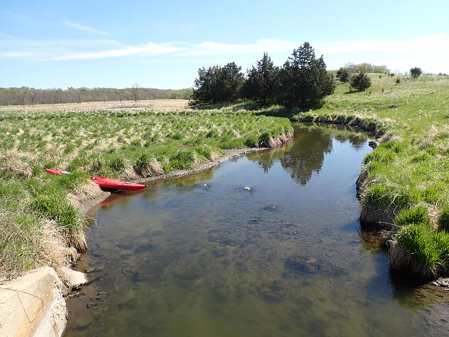
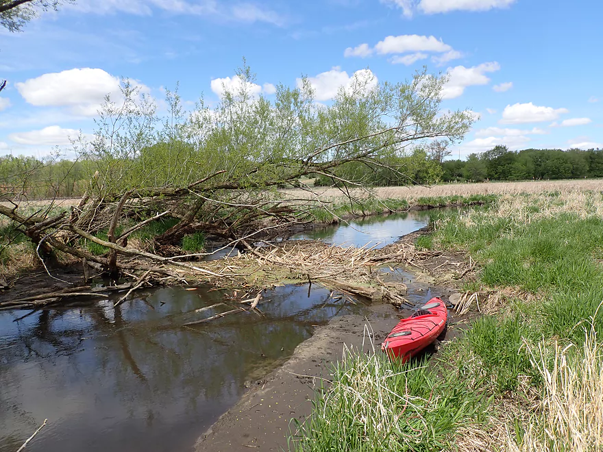
Launching at Hwy Q
Nice area by the Utley SNA
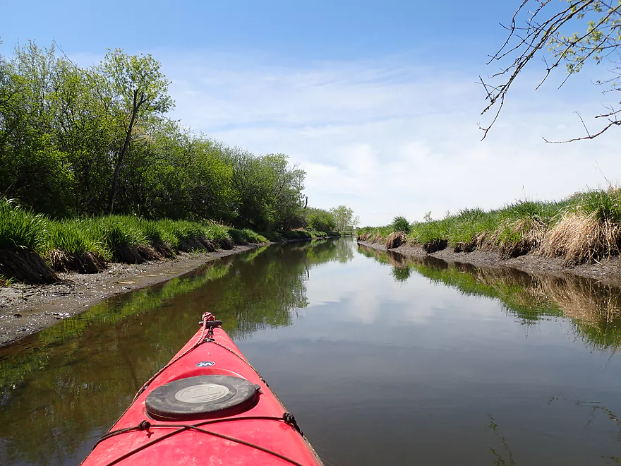
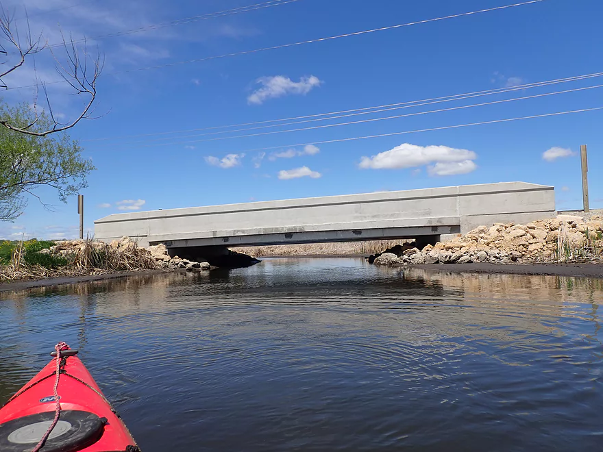
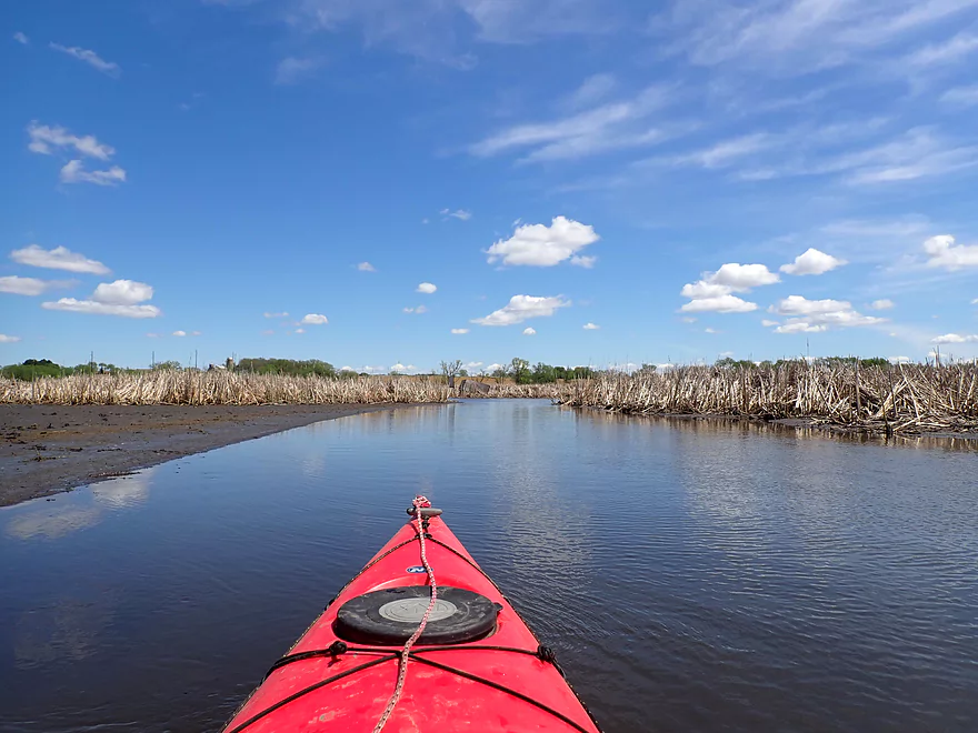
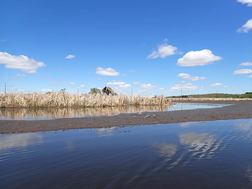
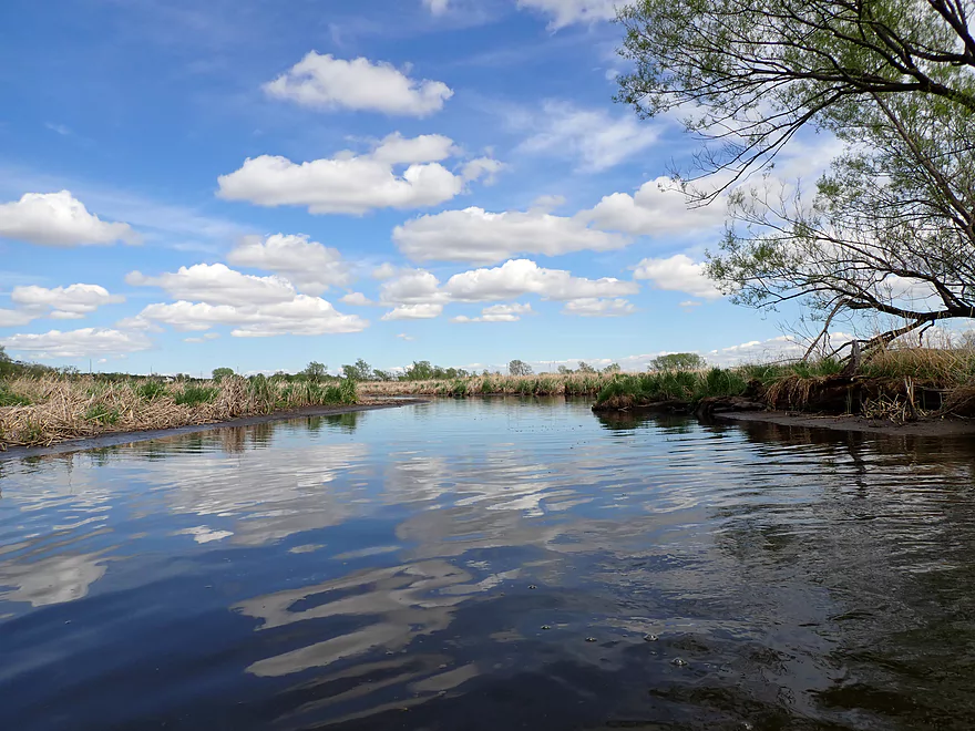
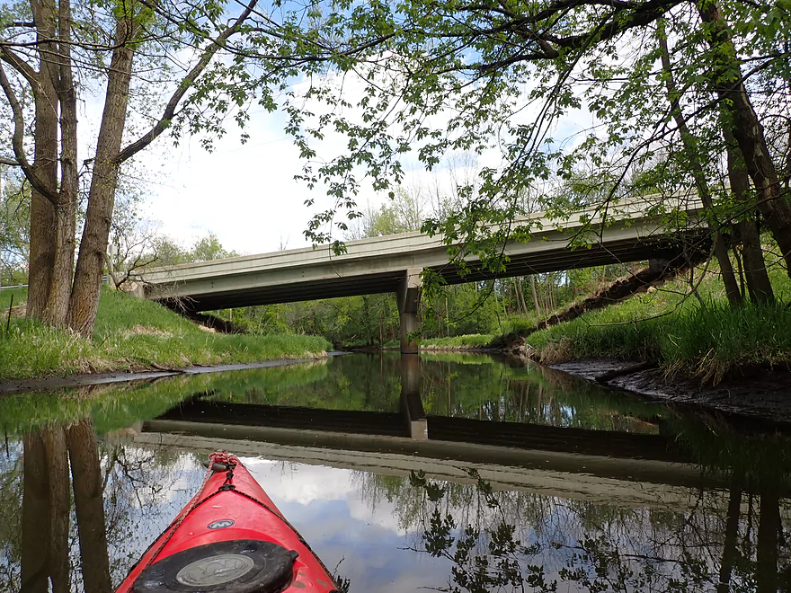
Hwy Q bridge
View from bridge
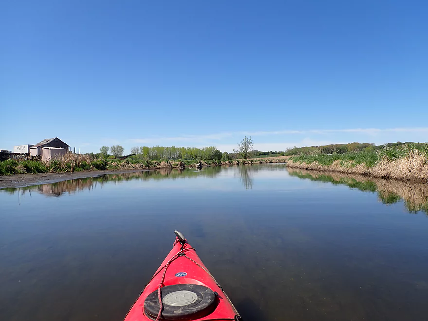
Good morning light
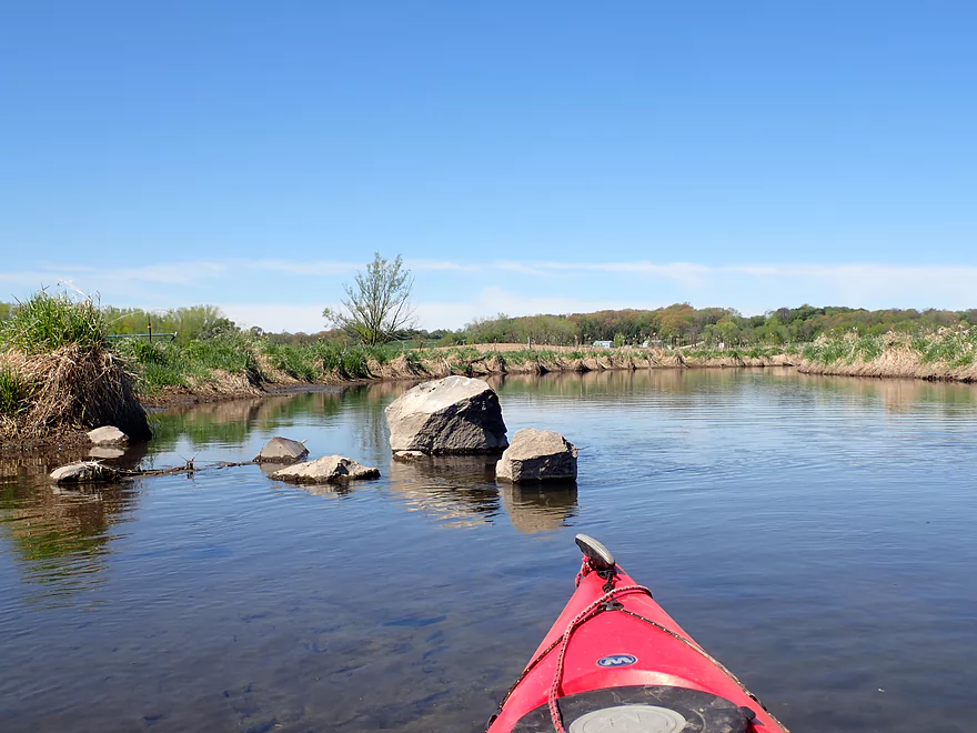
The bottom was mostly a mixture of mud and rock
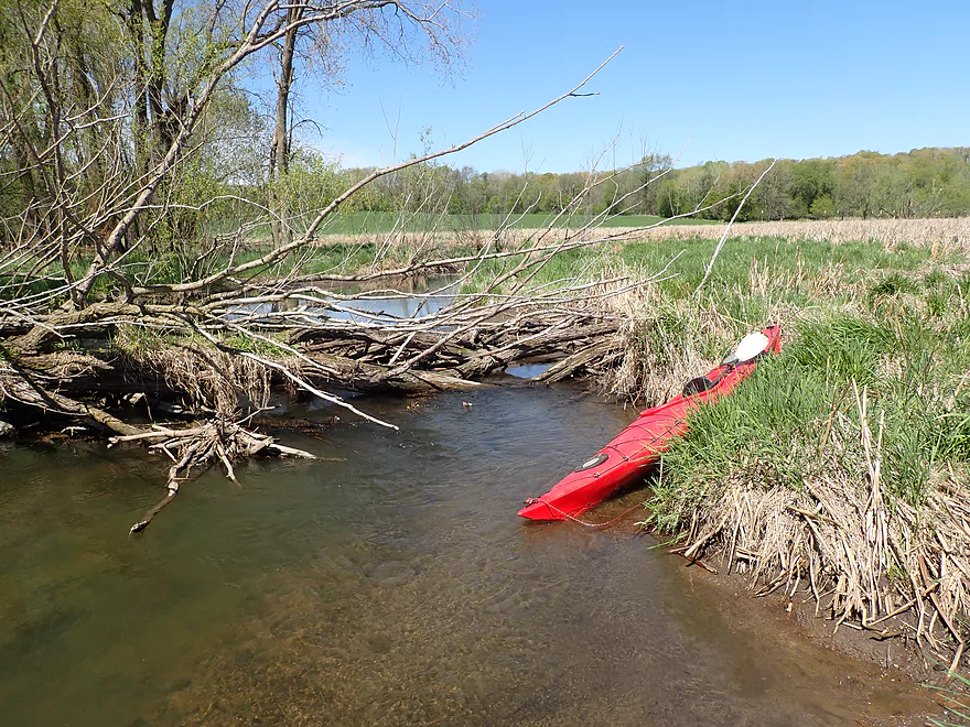
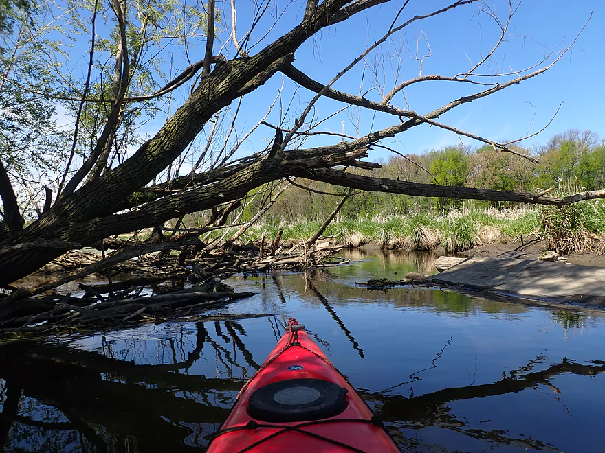
First logjam portage…easy
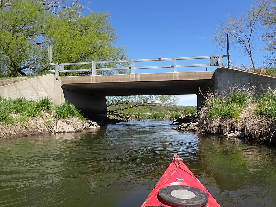
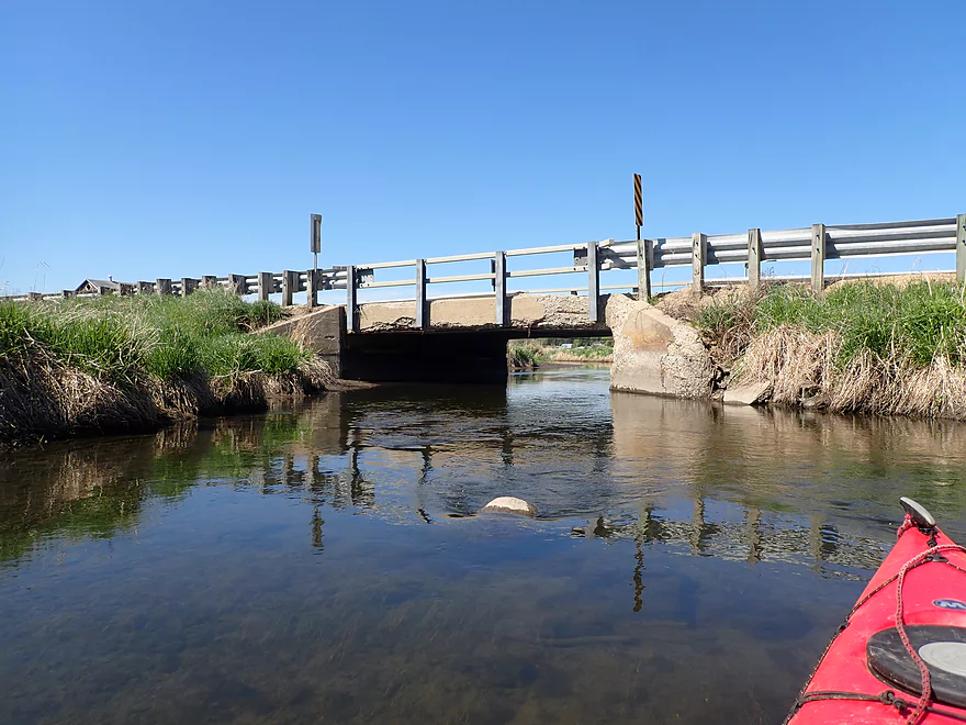
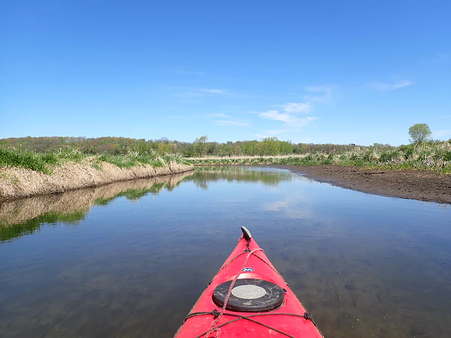
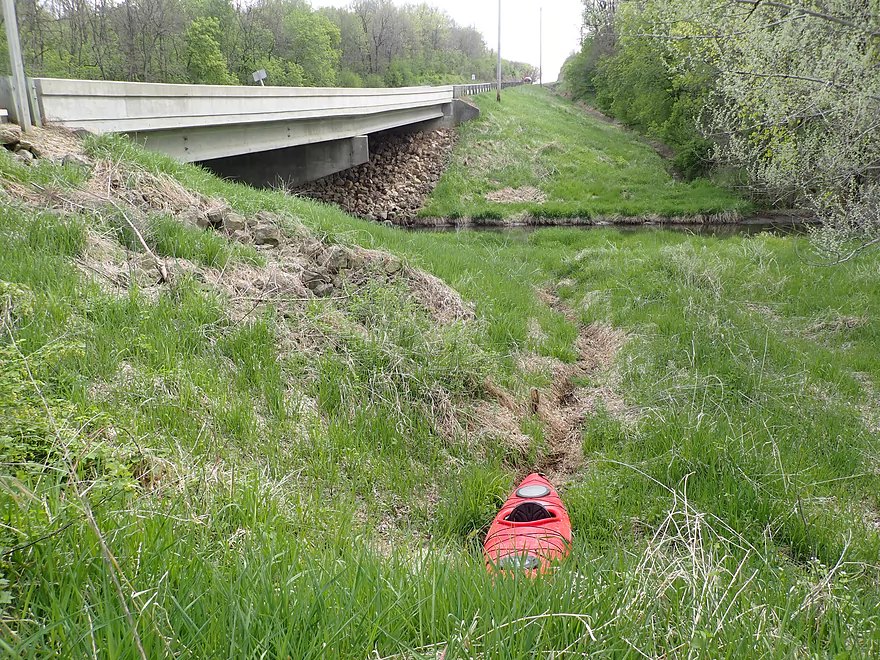
Utley Rd
View from bridge
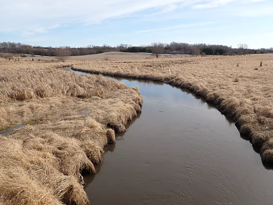
Same view but in winter
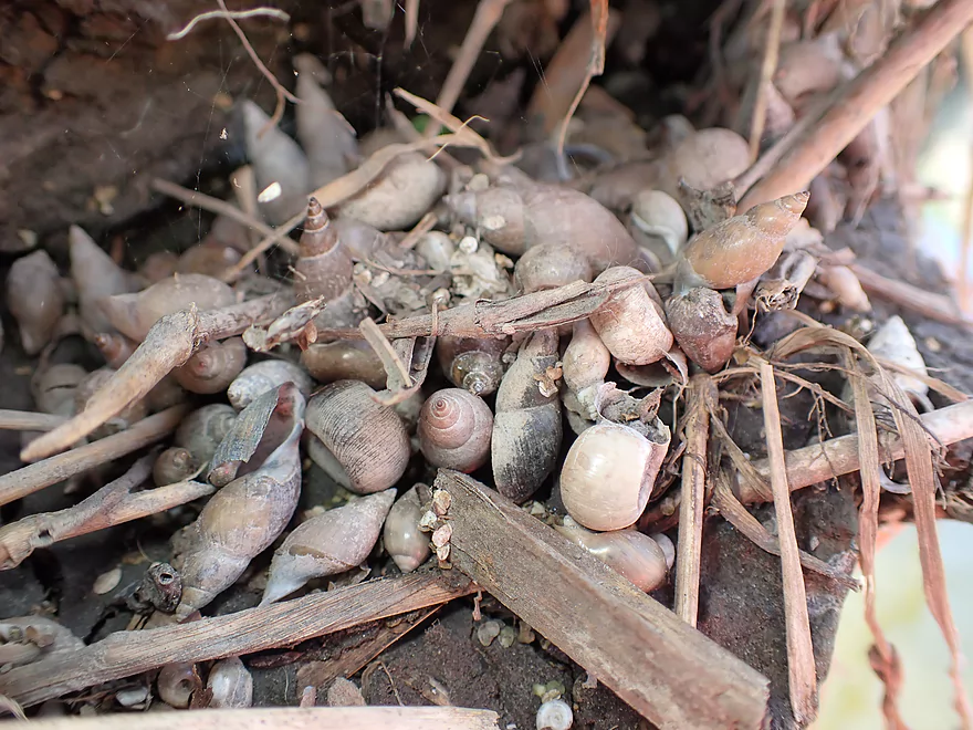
Lots of snails on the Grand River
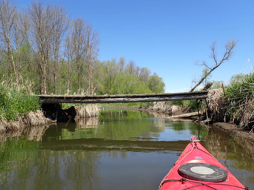
One of several snowmobile bridges
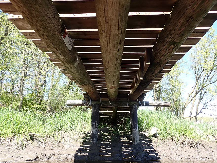
Reusing old power polls
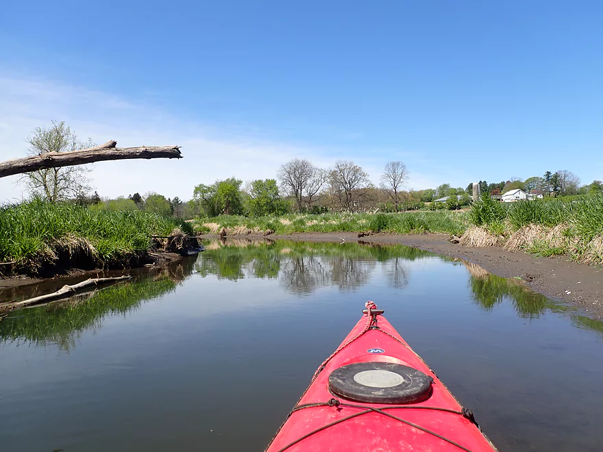
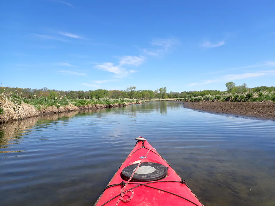
Looks like a washed out pier on the right
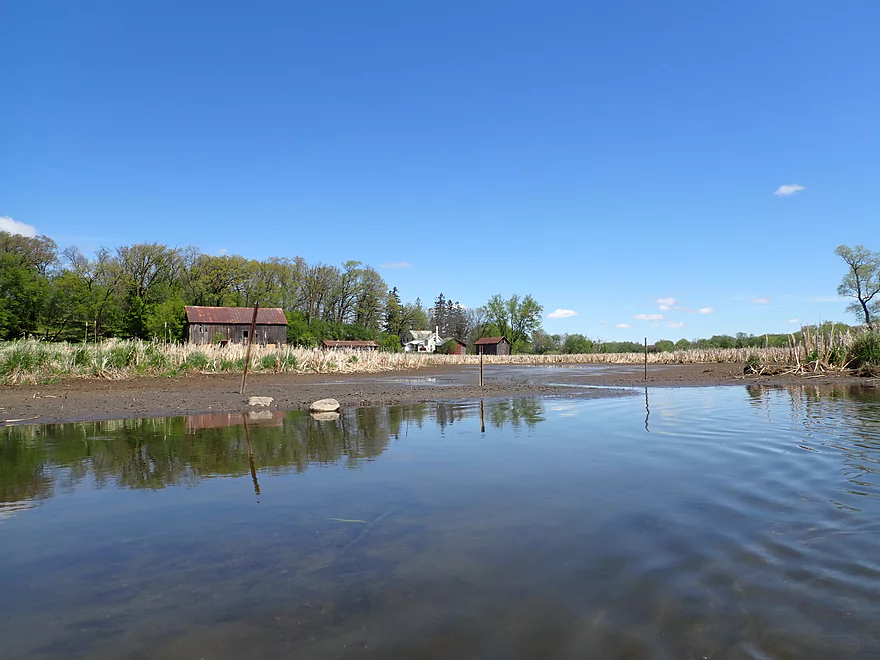
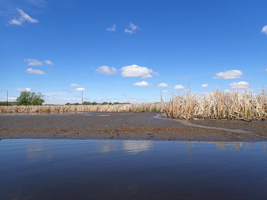
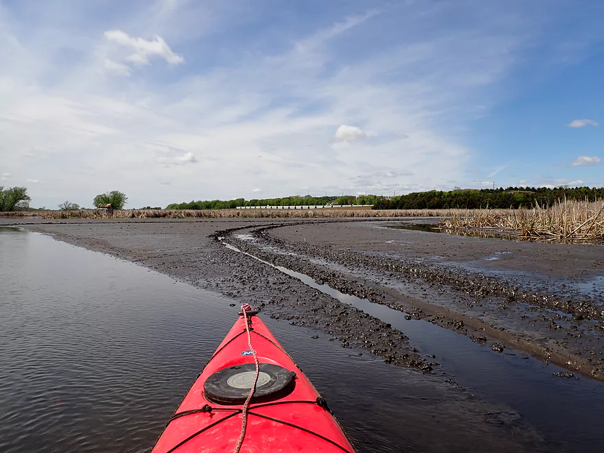
One of several exposed mud flats
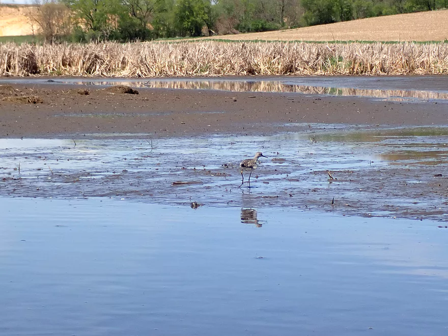
The sandpipers loved the mud flats
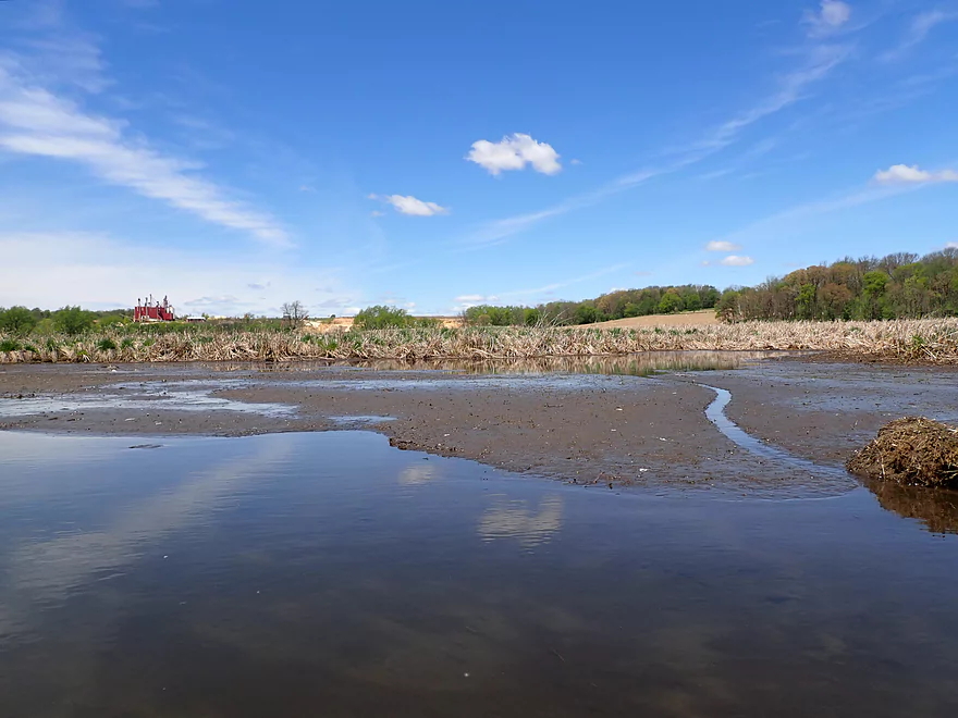
A few weeks ago, this would have been under water
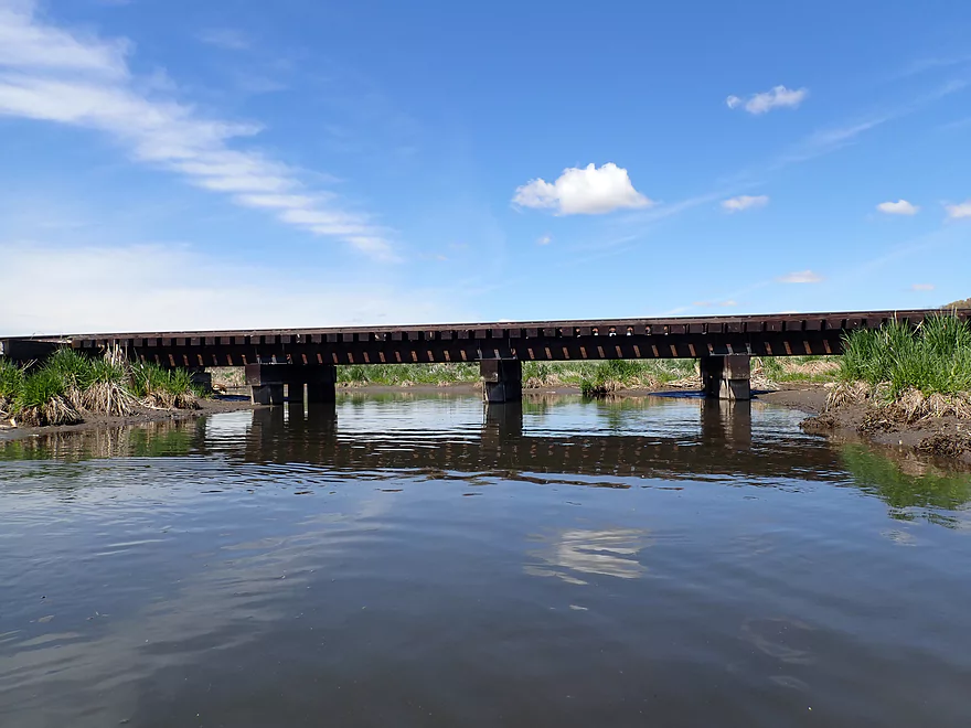
Much of this trip parallels a railroad line
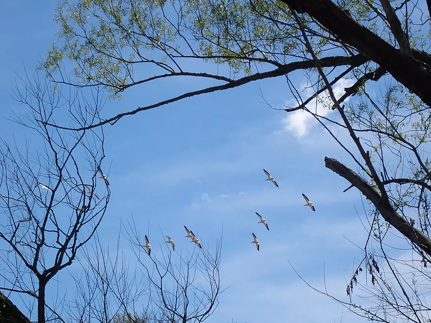
Large flock of pelicans
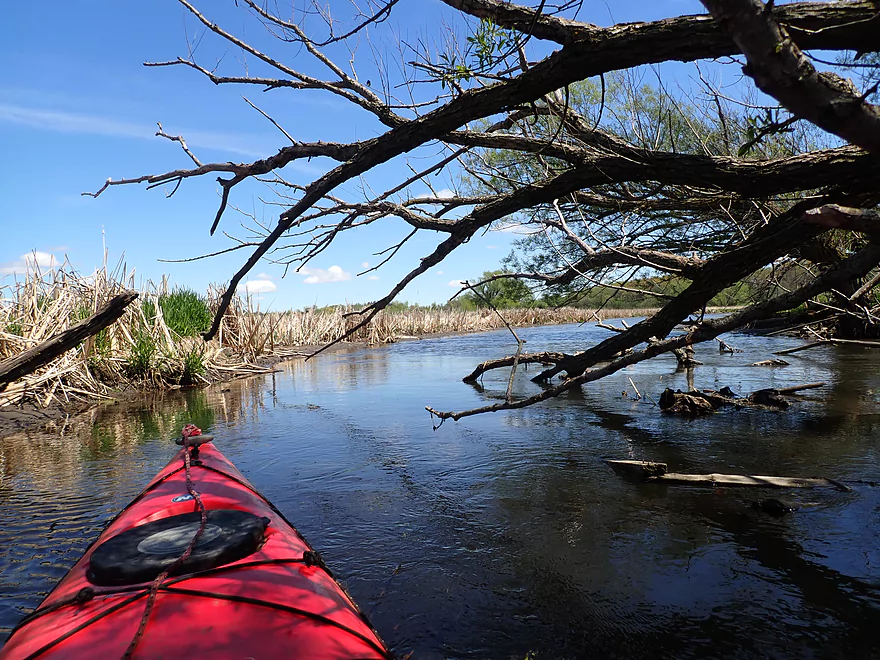
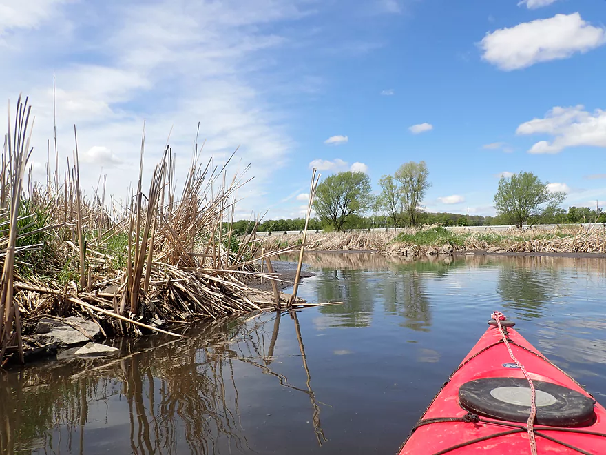
Deadfall was generally not an issue
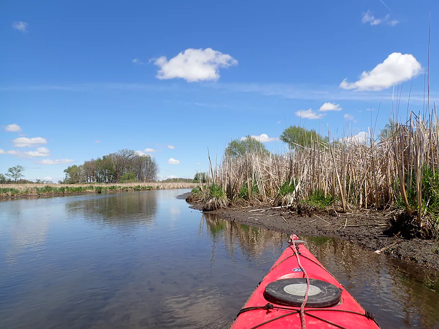
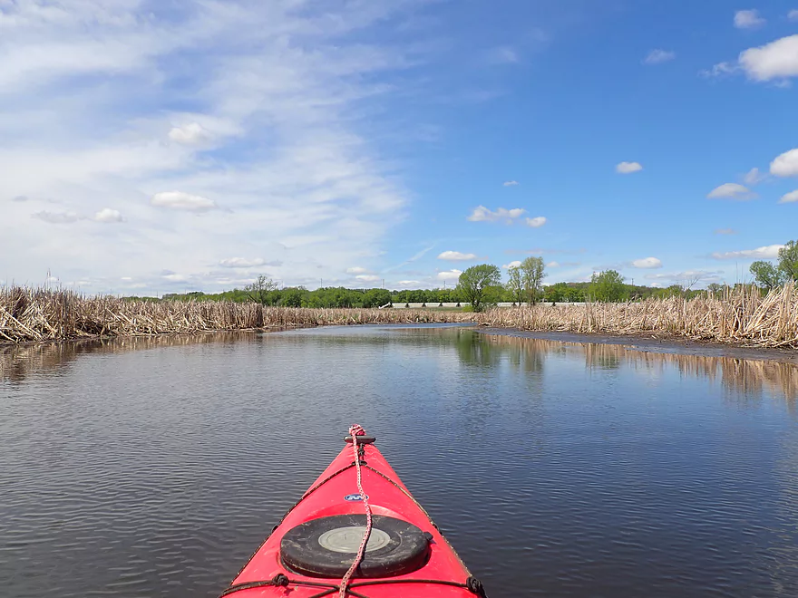
Starting to see more cattails
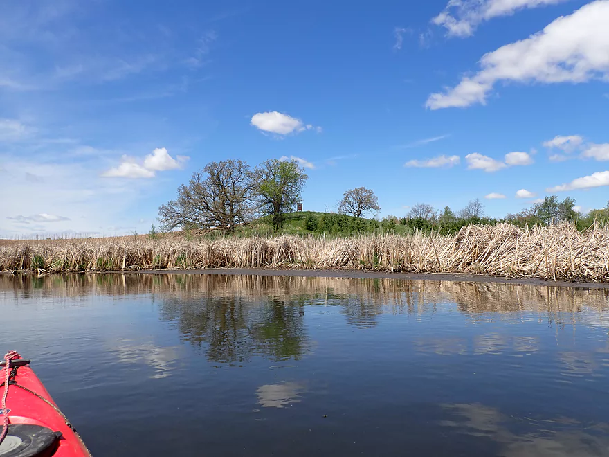
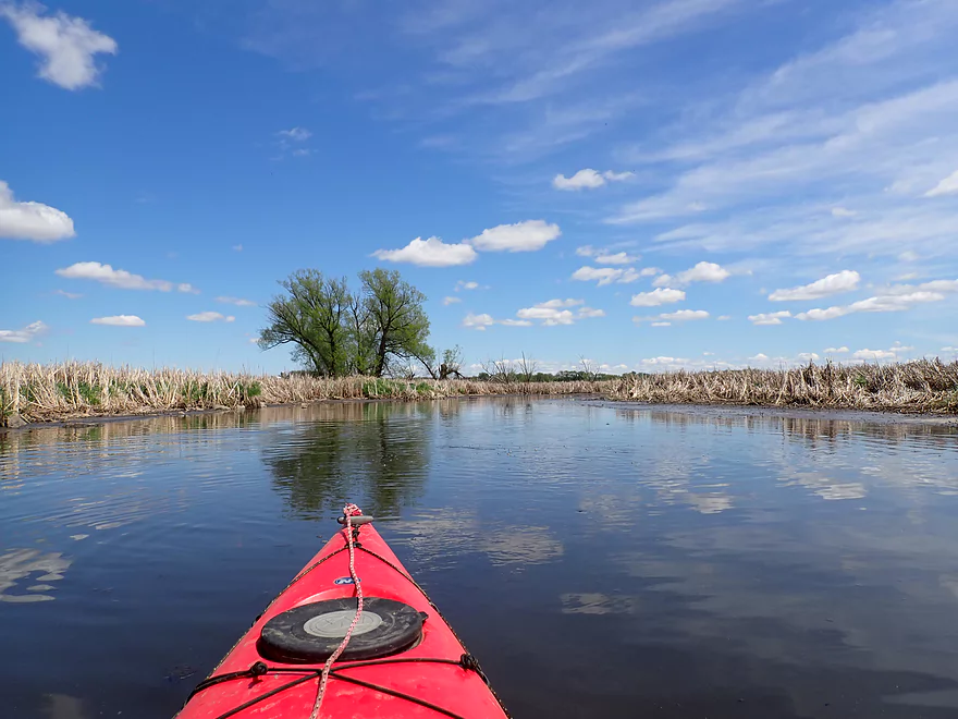
A scenic knoll with bur oaks and a deer stand
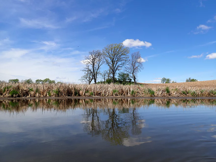
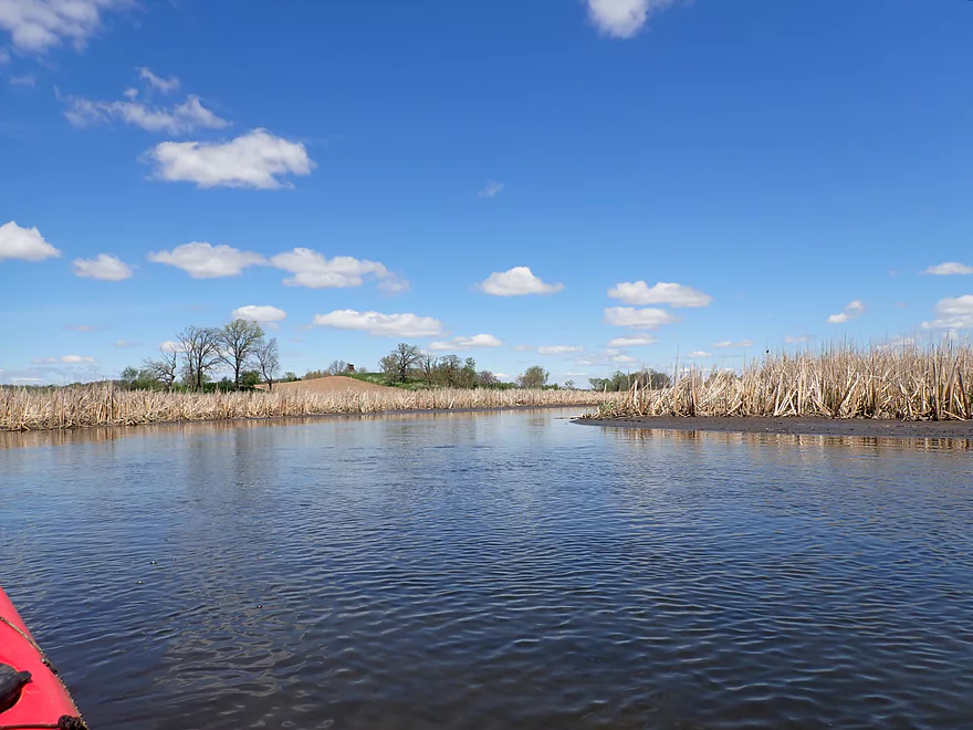
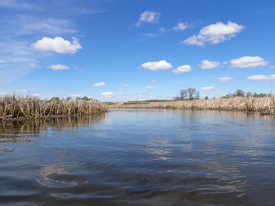
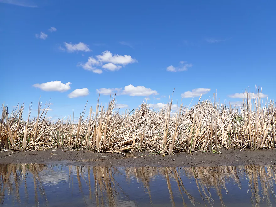
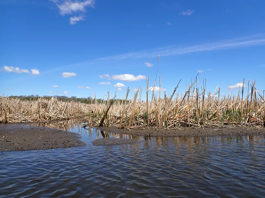
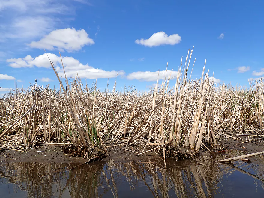
The cattal fields were huge…some extended over a mile in one direction
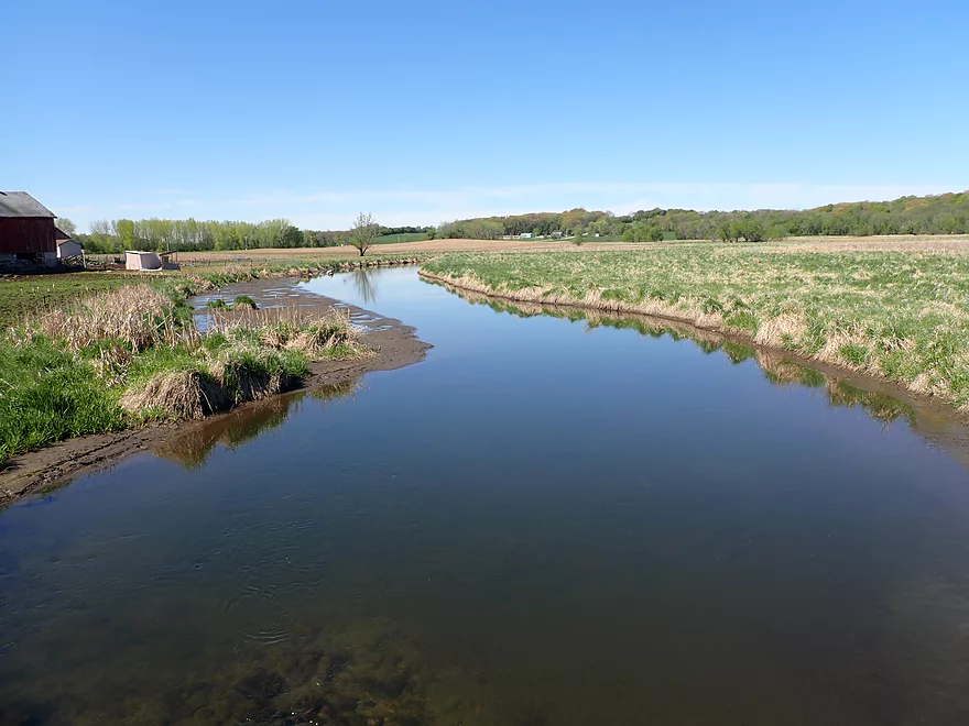
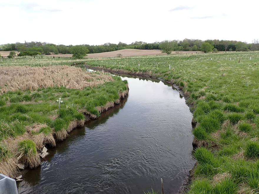
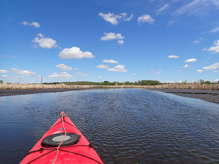
County Rd S
View from bridge
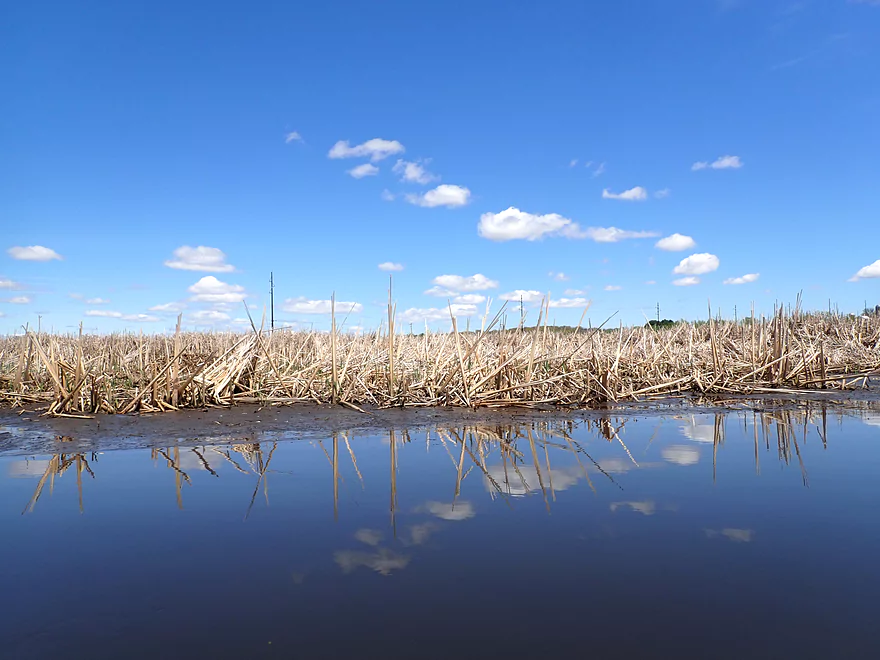
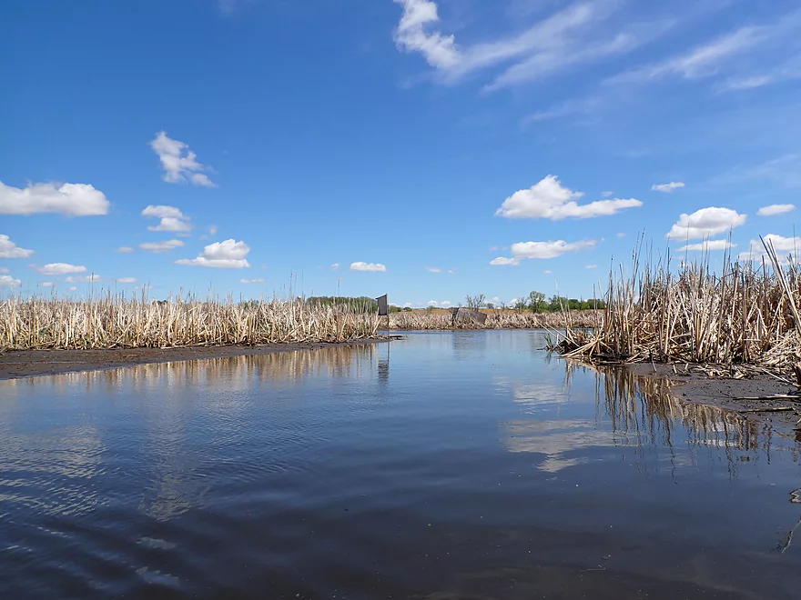
Cattail reflections
One of several wood duck houses
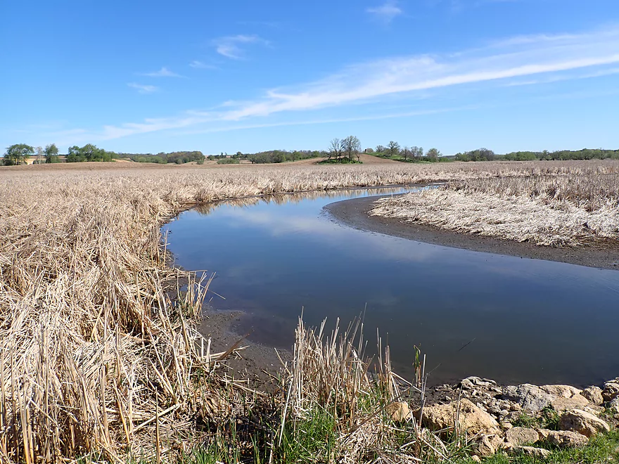
More large mudflats
Almost as if somebody drove into the river
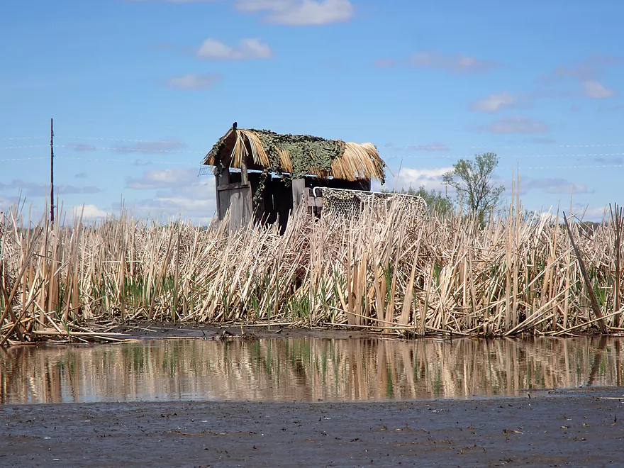
Love the cattail roof on the blind
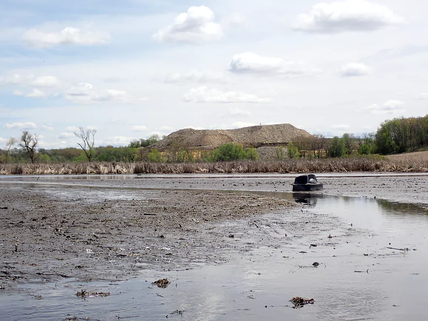
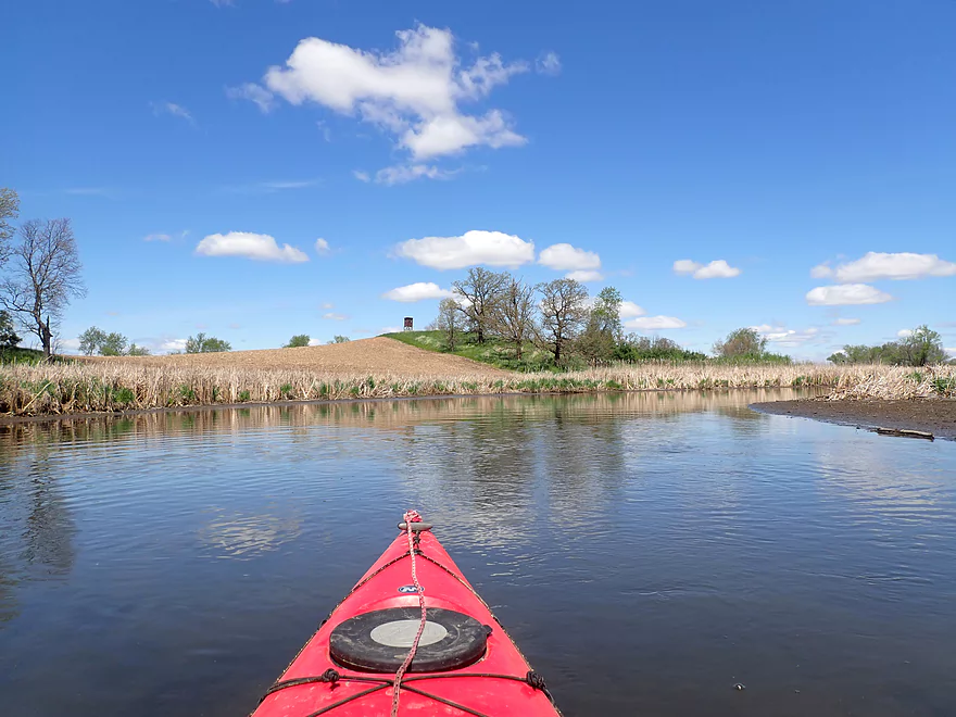
One of several huge quarries visible in the distance
Great lighting for photography
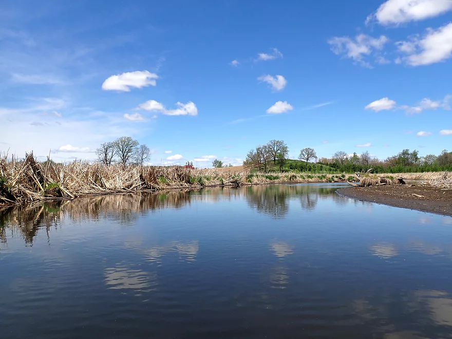
Starting to leave the large cattail fields
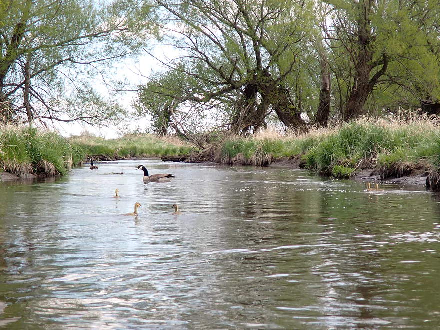
Parents trying to lead me away from their goslings
Portaging a cattail jam
Cool clouds
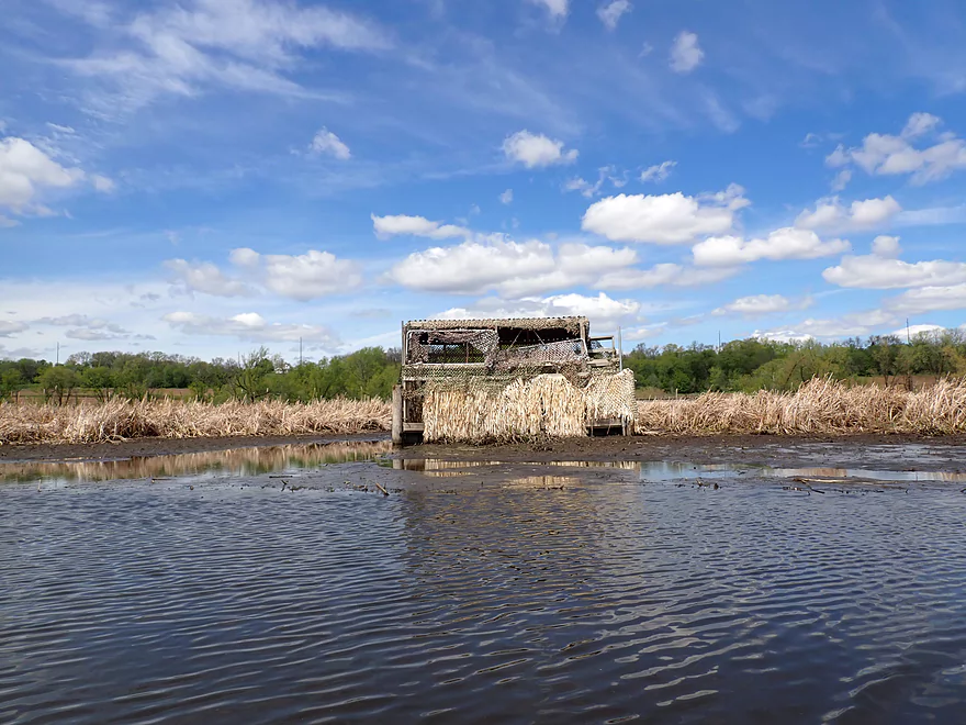
I think this is a popular river for hunters
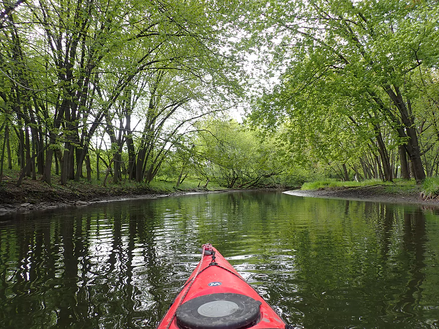
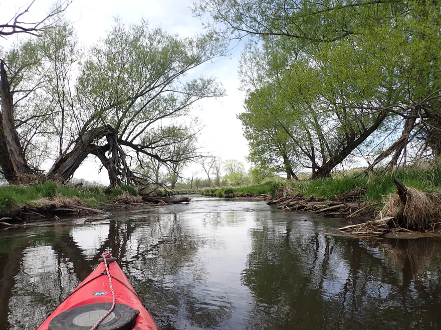
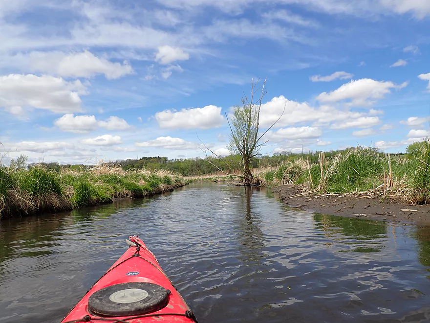
Entering a wooded stretch
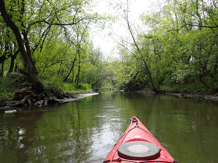
Neat part of the river
Taking out at Hwy A
Which has a long and steep embankment
Grand River – Hwy Q to Hwy A


The Grand River is a tributary of the Fox River located between Portage and Oshkosh. With a couple of exceptions, it’s mostly a slow, marshy river famous (or infamous) for its huge cattail fields. Seven years ago I did a trip on the lower Grand River which was in many ways positive…but at the entrance to the Grand Marsh, a wall of cattails sealed in the mouth and I got seriously lost. Thankfully I was able to escape that labyrinth by manually plowing through the cattails themselves (no easy feat). I would later hear that two other kayakers attempted that same route and got so lost they called 911 and had to be rescued by the local authorities.
My goal for my return trip on the Grand River was to explore its far upper reaches, which I reasoned were free of cattail mazes because of the lack of dams. The problem with dams is that they slow a river and cause silt to accumulate. This further slows the river and makes it a prime breeding ground for cattails, which can completely engulf a channel. Many cattails are invasive so I’m surprised that the DNR doesn’t advocate dam removal as a way to prevent their excessive proliferation.
I started the trip at Hwy Q where I was pleasantly surprised to see a DNR parking lot. It’s likely intended for hunters (the Utley SNA is next door) but it’s very handy for any would-be paddlers.
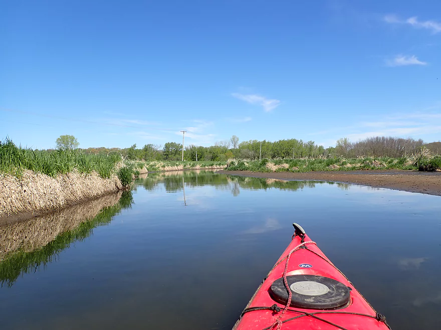
The first mile of the trip was very flat, open, and flowed past a large farm. Despite this, it was actually one of the best parts of the trip and water clarity (here at least) was decent which allowed me to see fish including what looked like a gar. The only downside to this first mile was a logjam portage just upstream of the Utley bridge, but that was pretty easy.
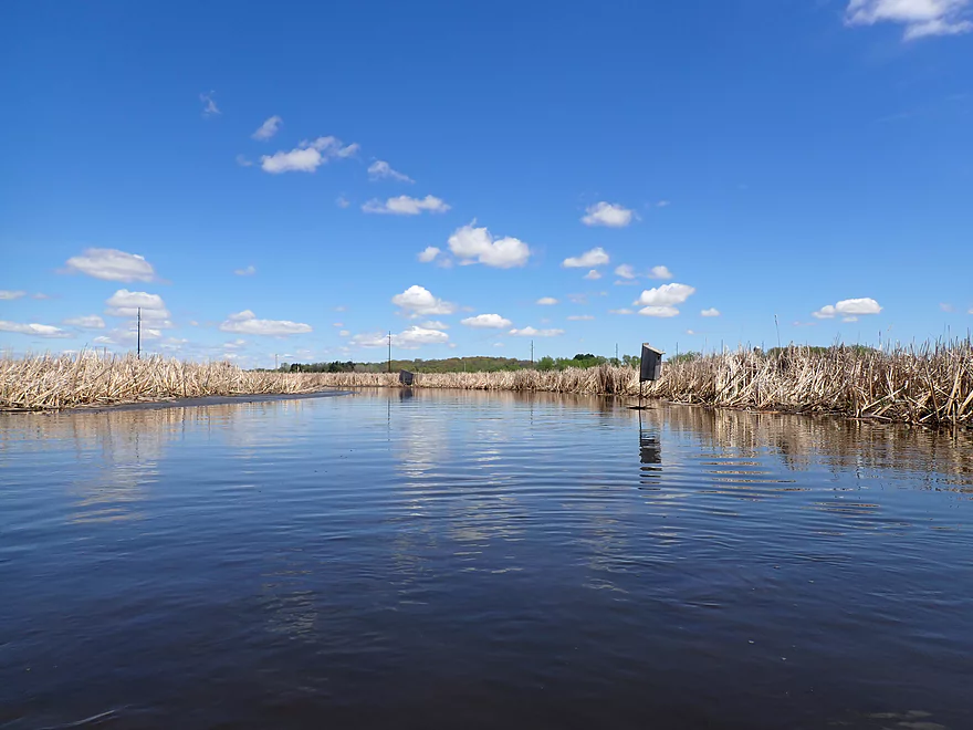
The river became a bit more wild and “uncivilized” following the Utley bridge. The scenery mostly consisted of open westgrass, but following the railroad bridge, the cattails started to take over and dominate. This had me nervous again because of my previous misadventures with cattails, but it turned out they were never a serious problem on this trip. In fact, the cattails with the right lighting were actually kind of scenic and were a trip highlight.
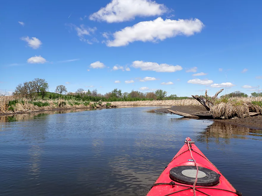
Despite the river valley being quite flat, it was surrounded in the distance by some hills and hill remants. By my count there were five massive quarries that flanked the Upper Grand, and I had to wonder if there was hidden geological significance to the area (perhaps they were drumlins).
One of the few downsides to this trip was that it was a bit muddy outside of a few rocky stretches. There was evidence the river had receded from high levels a few weeks back which created large mudflats which the sandpipers loved. Unfortunately the mud was a bit stinky at times, and I had to wonder if upstream septic leaks from the community of Fairweather were causing nutrient issues.
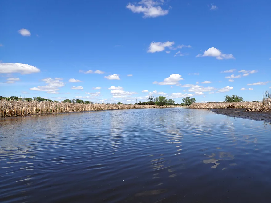
Following County Road S, the river turned west and flowed through a massive cattail field. While cattails can seem boring, they can be quite photogenic, especially when front-lit by the sun and framed by blue skies and white clouds.
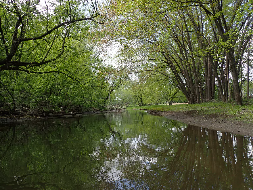
The Grand River changed character the last quarter mile and flowed through an attractive woods which gave it a very different vibe. I ended the trip at Hwy A, which turned out to be a difficult take-out because of the steep embankment. In hindsight, I should have gone one additional mile to Village Rd. Yes, there would have been logjams on that stretch, but it might have been worth it.
In summary this was a nice marsh paddle with the highlight being a lot of terrific wildlife. If you do this trip, timing is key. Ideally this (like most marsh paddles) should be done in the spring when birds are the most active and algae growth is at a minimum. This is also a good trip to time for early sunny mornings which can provide great lighting.
Like most marsh paddles this was great for wildlife. Sights included:
- Carp (several of which were huge and thumped my boat good)
- Pelicans
- Owl
- Great blue heron
- Geese and their goslings (the parents tried to lead me on “goose chases” away from their kids
- A raccoon (who looked quite sick in a farm field that had just been sprayed for pesticides)
- So many sandpipers
- Countless snails
- Gar (at least it looked like one)
- A number of red-winged blackbirds (a common sight on Wisconsin marshes)
- Cranes
- A muskrat…he actually swam in reverse while keeping an eye on me
Hwy Q: This was a good bridge access. There is a public DNR parking lot SE of the bridge which is convenient.
Alternate Put-ins:
- Utley Rd (0.9 miles downstream from Q): This would be a doable bridge access, but not ideal because of the steep embankment. Q is a much better put-in.
Cty Road A: This was not a good bridge access because of a long guardrail and steep embankment. It’s doable, but rope is suggested to help pull your boat up. Parking isn’t great because of the guardrail and nearby private homes. On a weekend you could maybe leave your vehicle at nearby Didion corn plant parking lot.
Alt Take-outs:
- County Road S (2.8 miles upstream from A): Shoulder parking is a bit narrow, but it would likely be doable in a pinch. Taking out here leaves off a nice stretch though.
- Village Rd (0.9 miles downstream from A): The river on this leg is narrower, more wooded and scenic. But taking out at Village Rd could add 4-5 serious logjams to your trip.
CR A to CR Q: 4.2 miles with 141′ of ascent. This was a manageable bike shuttle but did have two very steep hills to climb.
Current: Not too fast, but fairly steady.
Rapids: None
Logjams: This was mostly open and free of deadfall. But there were two locations that required portages that weren’t too difficult (the second was a bit muddy though). Exact locations marked on trip map.
Algae Growth: I did this trip in early May and algae wasn’t an issue. But satellite images from Bing Maps suggest it could be a serious issue in late summer.
Cattails: The lower Grand River is infamous for its cattail mazes where one can get lost or frustrated by surprising dead ends. The Upper Grand River in contrast doesn’t have as many cattail blockages because of the lack of dams. I did encounter a few forks, but by following the channel where it was the deepest and fastest, I never had any problems whatsoever. All that said though, it wouldn’t hurt to pack a GPS.
Wind: The last two miles of the trip were fairly open and exposed to the wind. Be mindful of the forecasted wind speed and direction before doing this trip.
Most Approximate Gauge: Rock River – South Branch @ Waupun
Trip Depth: 52 CFS or 2.61′
Depth Guide: The Grand River doesn’t have a gauge itself so these are just rough guestimates from a neighboring watershed.
- 0-40 CFS: Likely too shallow
- 41-60 CFS: Average depth and a good depth. There are shallow spots but they can be mostly avoided by reading the river correctly and following the current.
- 61-90 CFS: Above average depth, but still likely navigable.
- 91-110 CFS: A high depth, but likely still doable.
- 111+ CFS: Maybe too high for enjoyable paddling.
Detailed Overview
- Upstream of Fairweather: I suspect the river is too congested to run.
- West Street Dam to Hwy Q: 3.5 miles. First half is very riffly, wooded, and congested with perhaps 12 logjams. The second half flows through a state natural area that is quite open and pleasant.
- Hwy Q to Hwy A: 5.9 miles.
- Hwy Q to Utley Rd: 0.8 miles. A nice stretch. Very open, marshy, and with some mud, but good clarity and wildlife. One logjam (easy portage) just upstream of the Utley Rd bridge.
- Utley Rd to CR S: 2.6 miles. A good stretch with no logjams. Very open with a lot of wetgrass in the first half and cattails in the second half.
-
CR S to Hwy A: 2.5 miles. The first half is a nice cattail marsh. The last part narrows and goes through a nice woods. There is one logjam that has to be portaged.
- Hwy A to Village Rd: 0.9 miles. A narrow wooded stretch that is scenic, but has a lot of deadfall...maybe 4-5 serious logjams.
- Village Rd to Markesan Intermediate School: 1.7 miles. Neat little section with some riffles and some nice urban scenery. Unfortunately there may be 5-6 logjams that have to be portaged.
- Markesan Intermediate School to Hwy I: 1.9 miles. I suspect logjams are very bad in this section.
- Hwy I to Hwy 73 Street: 0.9 miles. Good prospect with maybe a few logjams.
- Hwy 73 to Madison Street: 1.2 miles. Great prospect with lively current and little deadfall.
- Madison Street to Valley Road: 4.3 miles. Too many logjams to be feasible.
- Valley Road to Hwy 44 Dam: 3.4 miles. Mostly a good prospect, but the cattail wall on the lake might be quite difficult to get through.
- Hwy 44 Dam to Hwy H: 4.1 miles. A good prospect I hope to do in the future.
- Hwy H to Fountain Creek Wet Prairie Canoe Launch: 5.9 miles.
- Hwy H to Southern Canal Mouth: 5.2 miles. A scenic marsh paddle. The problem is that parts of the river can be choked off by cattails and getting lost or trapped is a very serious concern.
- Southern Canal Mouth to Fountain Creek Wet Prairie Canoe Launch: 0.6 miles. A simple but pleasant paddle through an artificial drainage network. Finding the mouth from the lake can be tricky.
- Southern Canal Mouth to Grand Marsh Dam: 3.2 miles. A large flowage lake that might not be a varied paddle. The east end is silted in, while the west end is open and exposed to wind. Access to the dam maybe only open during the summer.
- Grand Marsh Dam to Fox River Confluence: 2.4 miles. The river here is wide and slow. Likely not super interesting, but this could be a good spot for waterfowl.
- Fox River Take-Out Options:
- Paddle Upstream to the Grand River Locks: 1.2 miles. Paddle upstream to reach the Grand River Locks (good access). Likely a pleasant section of the Fox River. You should be able to paddle against the current unless the river is high.
- Paddle Downstream to Puckaway Lake/Oak Road Landing: 3.3 miles. Part of this would be on the Fox River and part on large Puckaway Lake. There are alternative landings on the east and south sides of Puckaway Lake.
Trip Map
Overview Map
Video
Photos Size: