
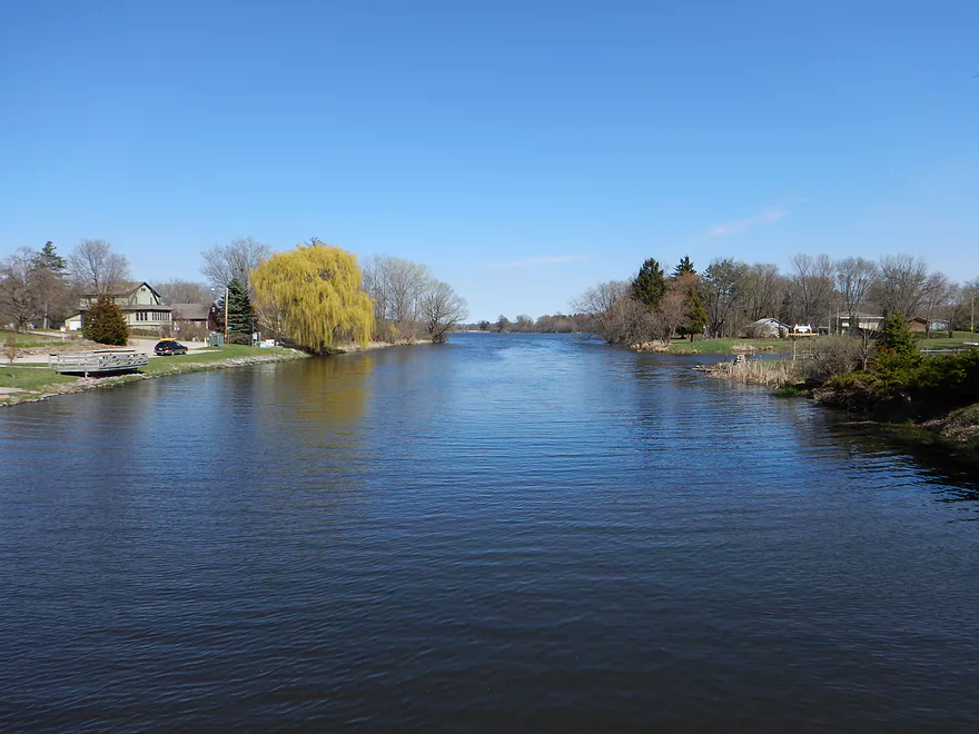
Starting the trip in Wyocena
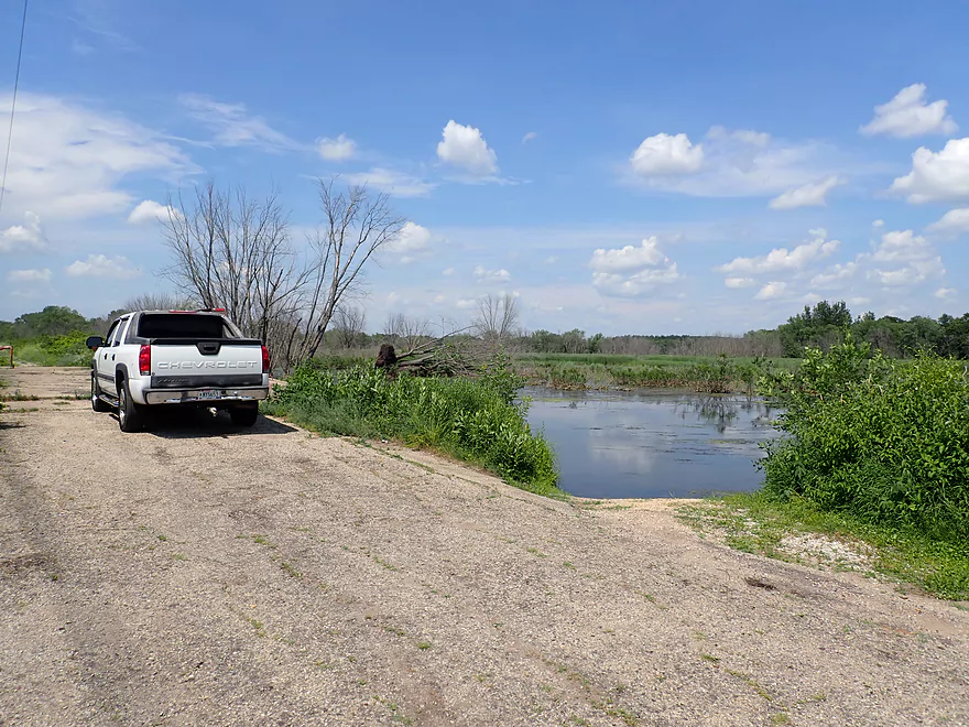
Putting in at the Wyocena boat ramp
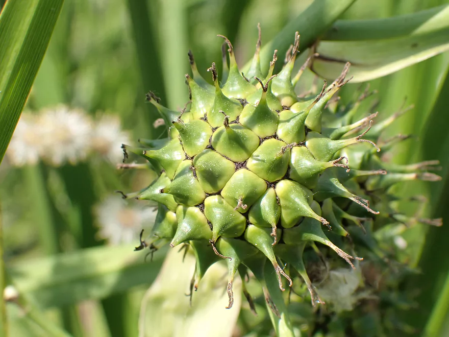
Spikey bur-reed
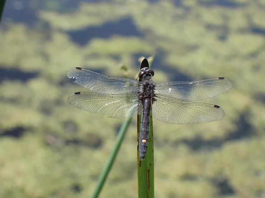
And a number of dragonflies
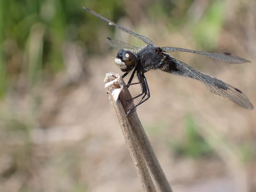
This is a Dot-tailed Whiteface Dragonfly
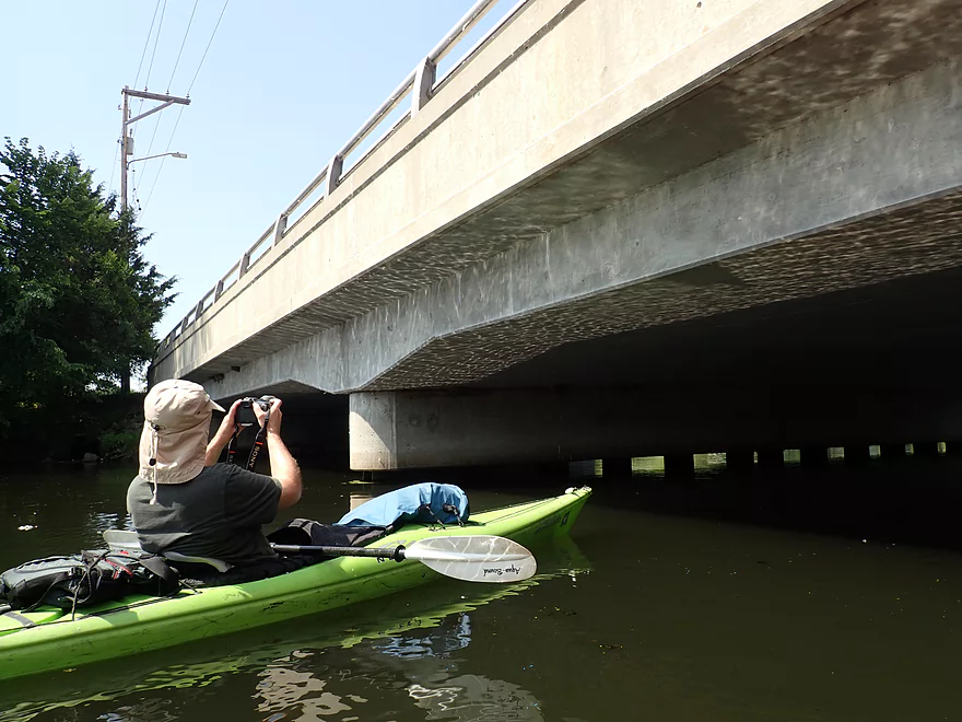
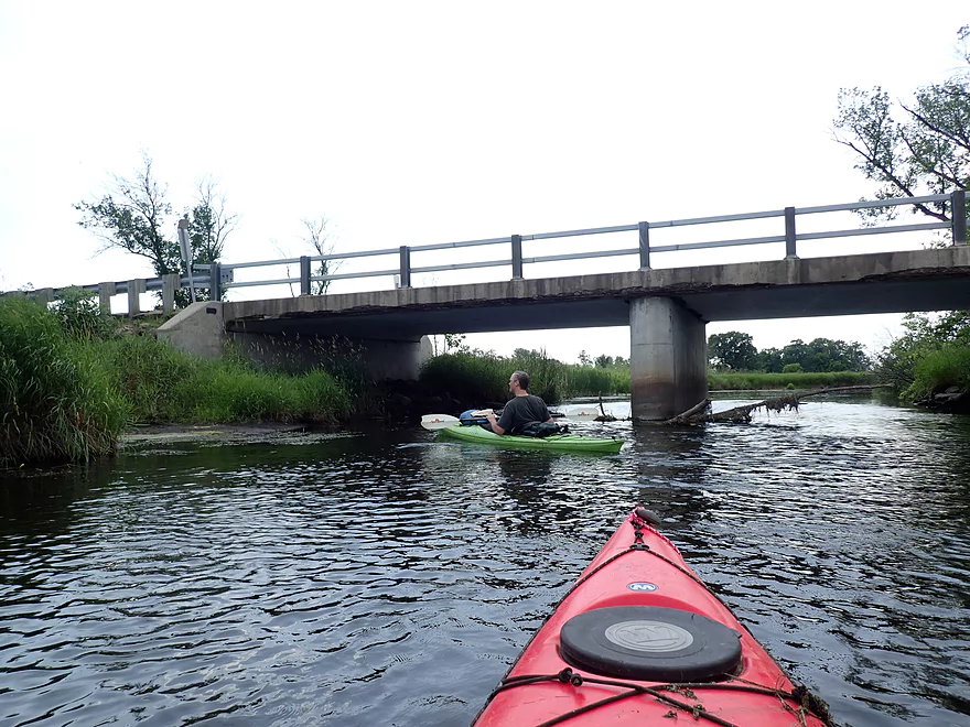
Cool light patterns under Washington Street
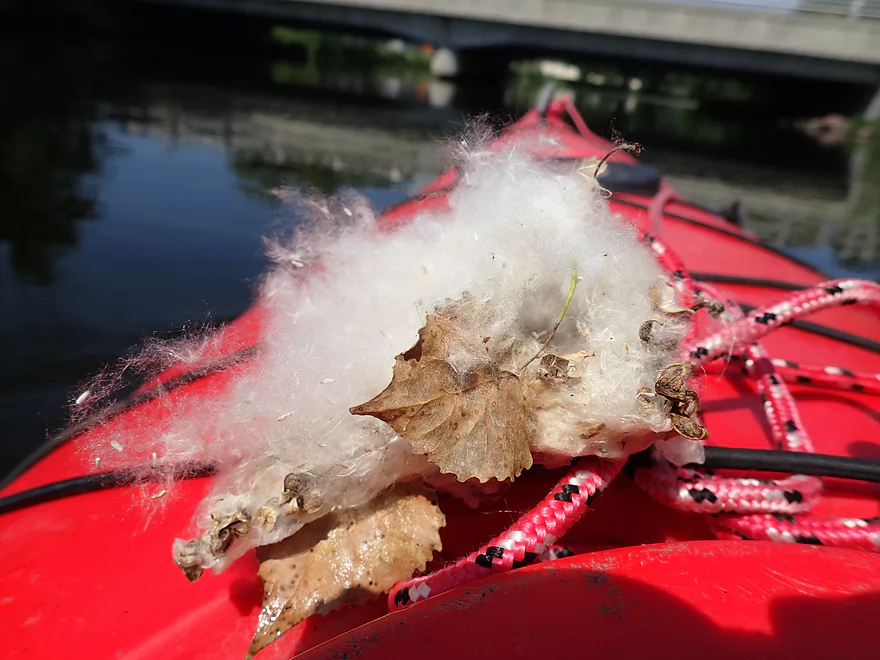
Cottonwood seeds were everywhere
Grande Cheese (a cheese factory) on the left
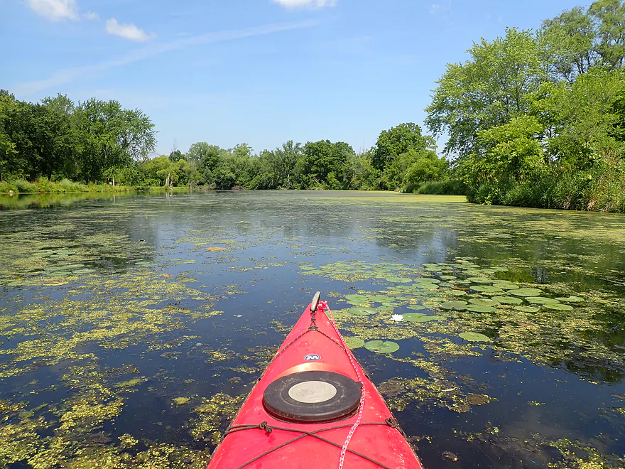
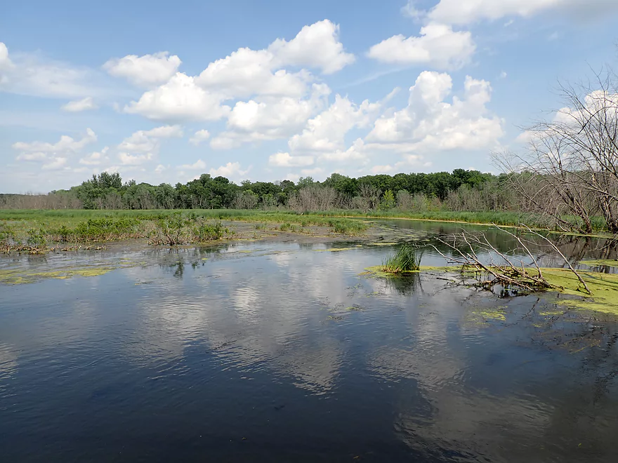
Kind of a marshy area to start
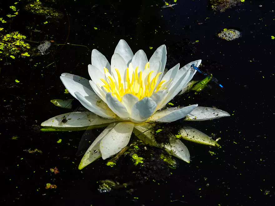
A damselfly on a white waterlily
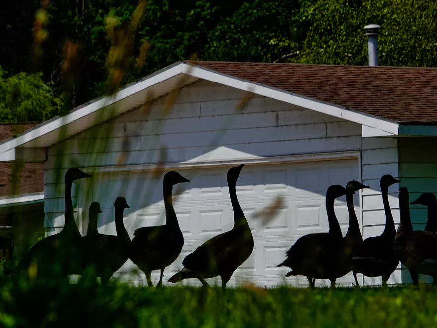
Goose silhouettes
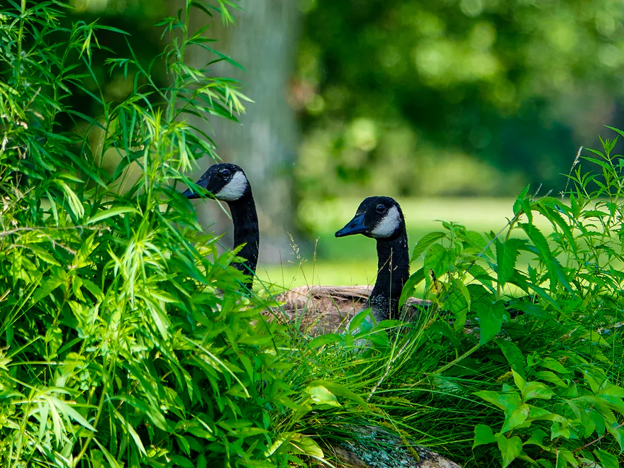
Lot of geese in this area
Taking a snack break
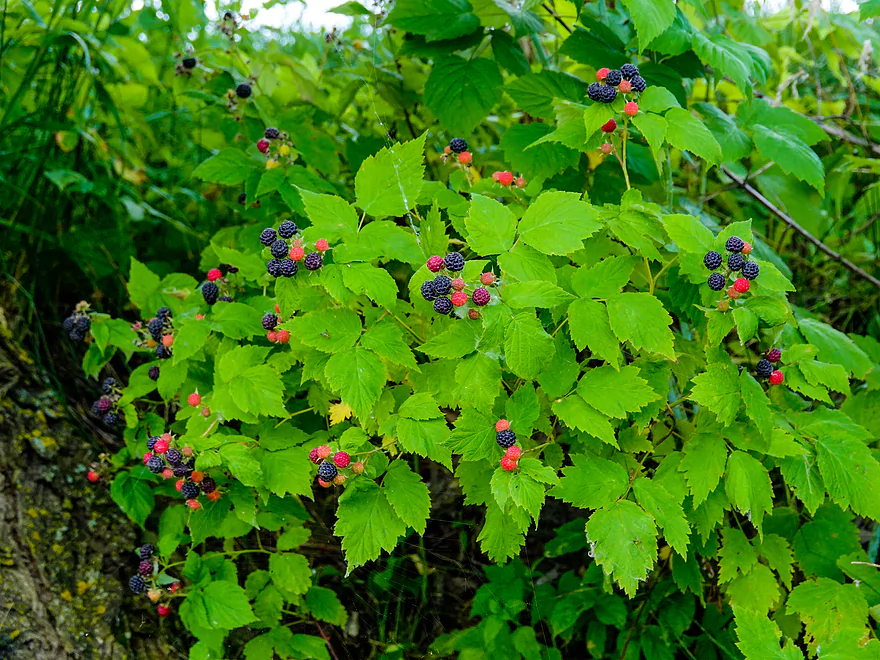
Ripe black rasberries
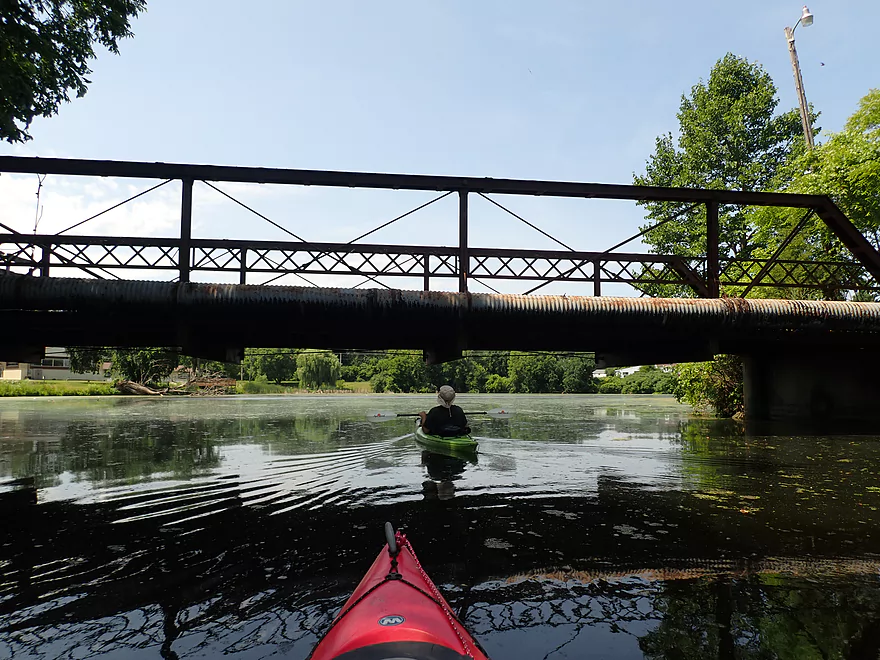
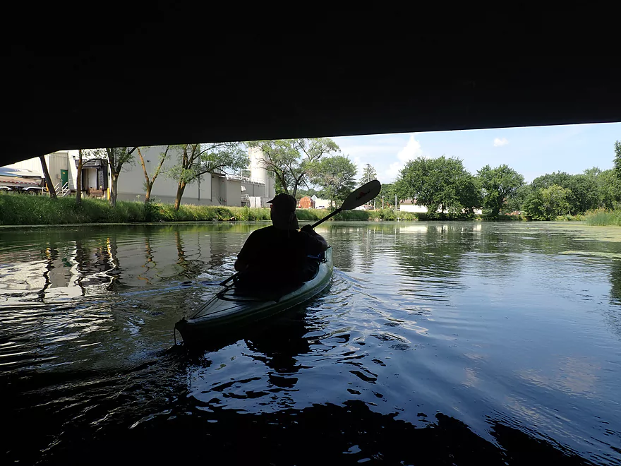
Passing under a private bridge
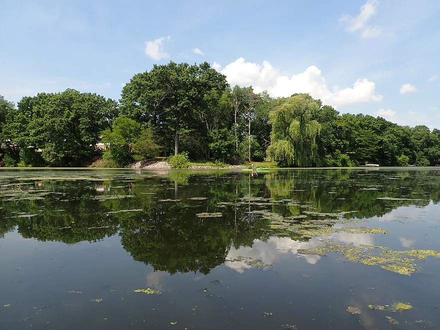
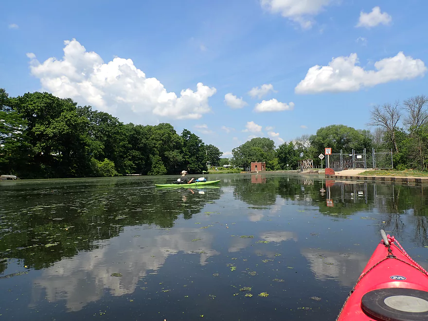
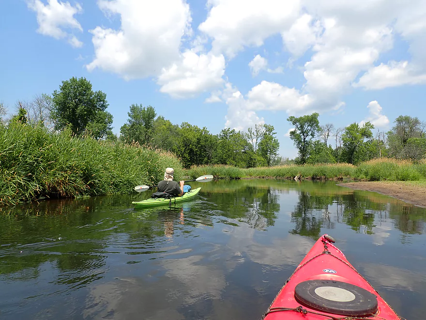
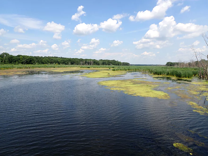
Entering Wyocena Millpond
Part of a small flowage
A portage path east of the dams
Easy re-entry
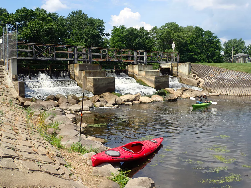
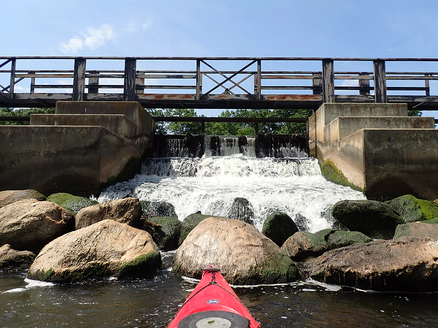
View of the dam
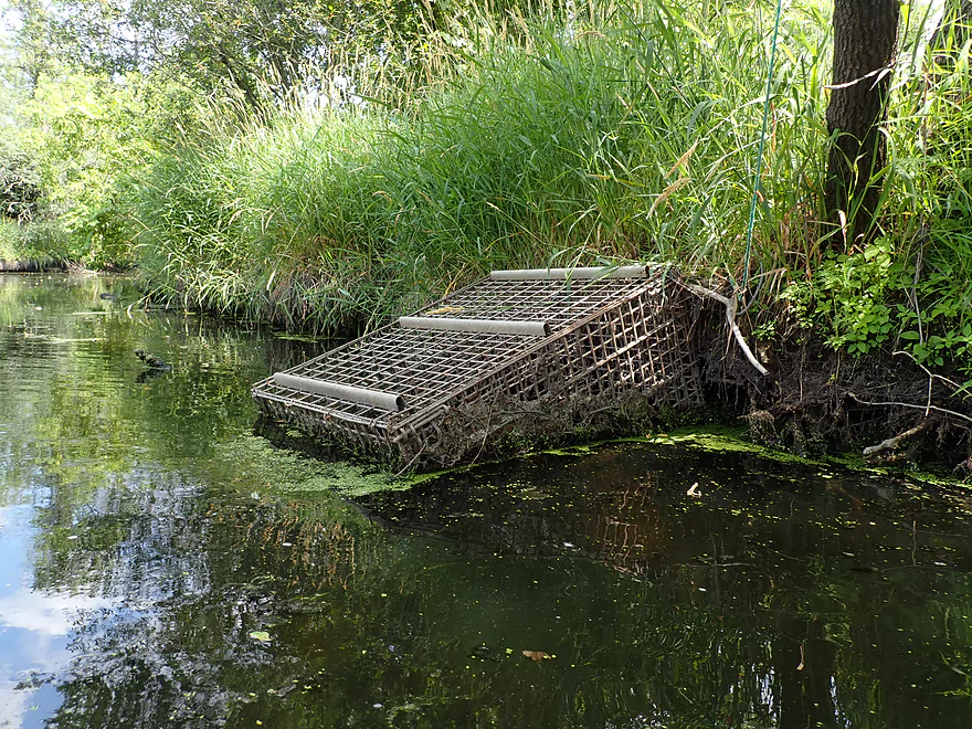
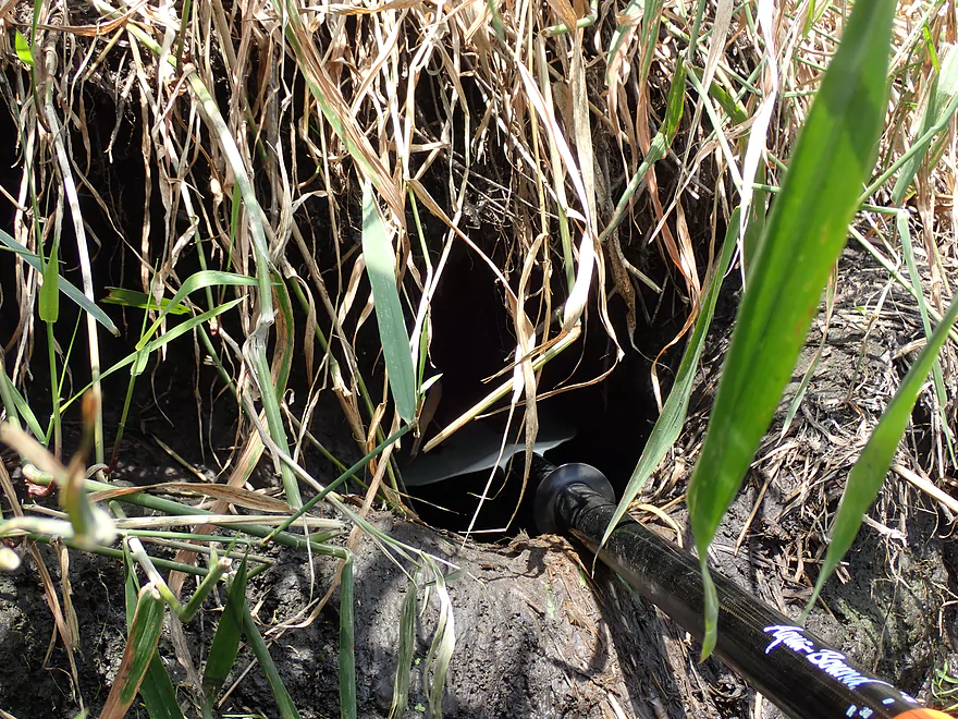
I think this is a beaver trap
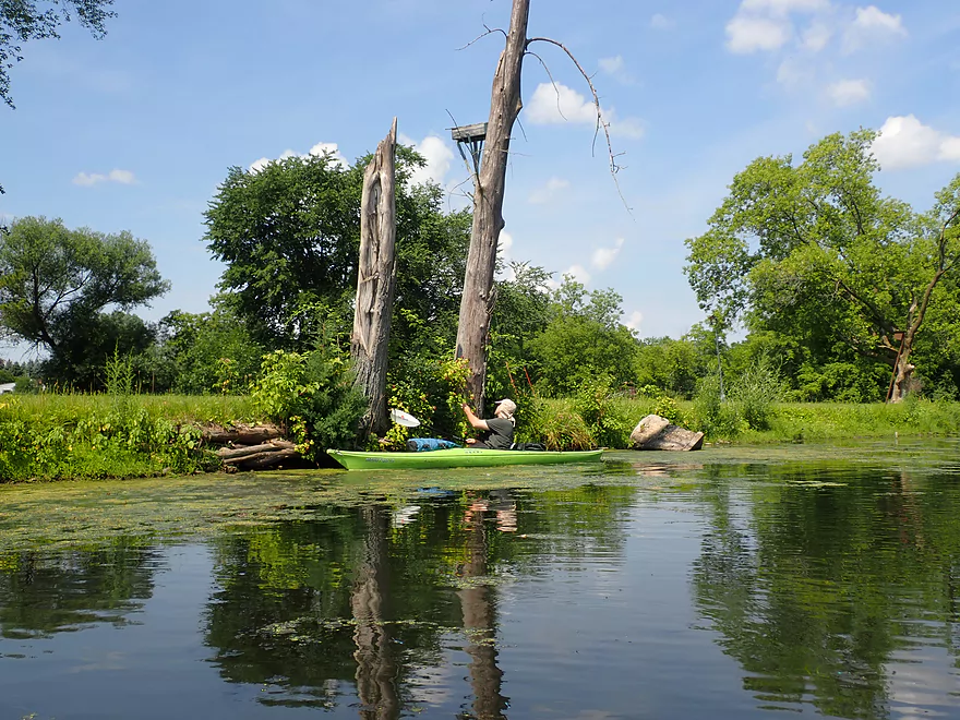
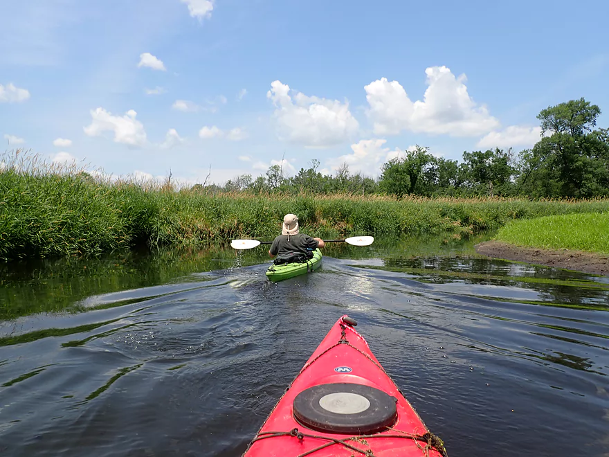
Paddling around a large island
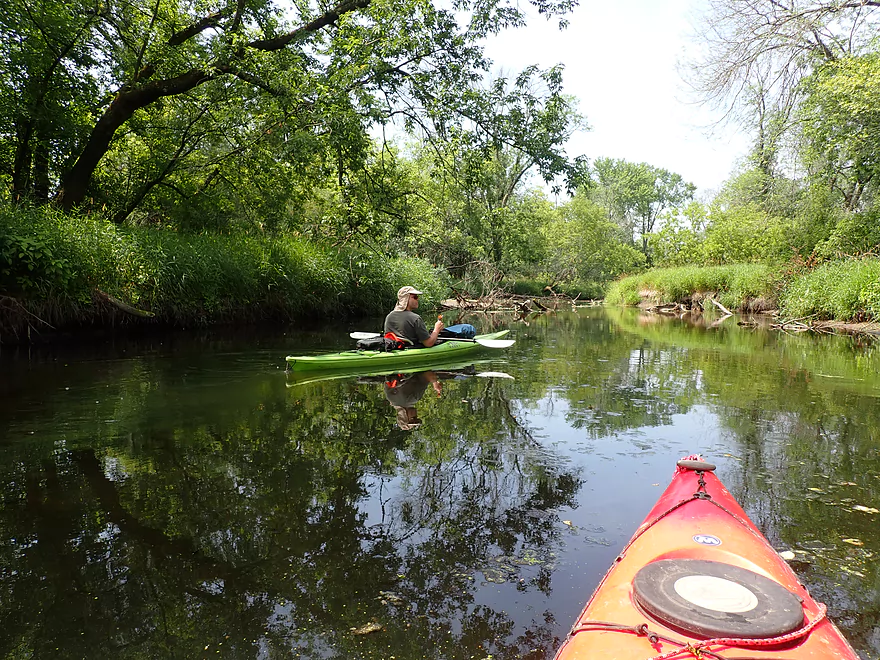
Nice reflections
Some good clarity
Bottom of the island
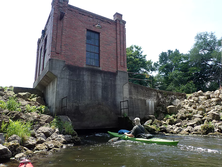
Scouting the local powerhouse
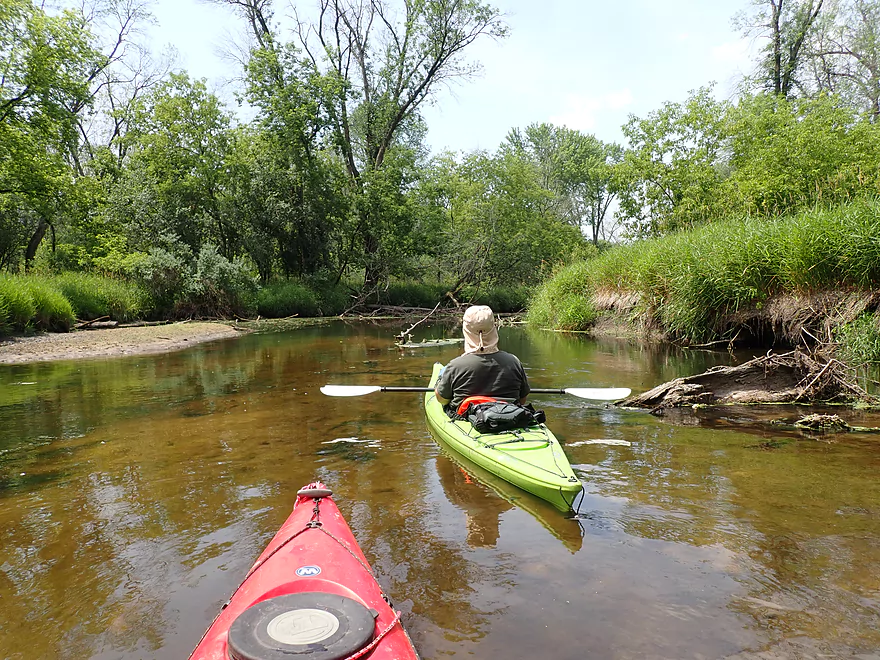
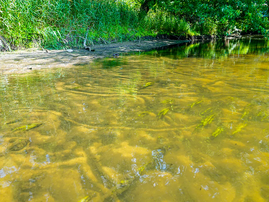
Clarity starting to improve
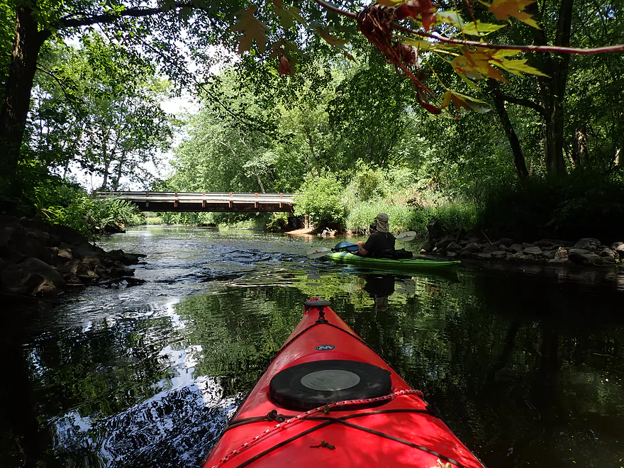
Another private bridge
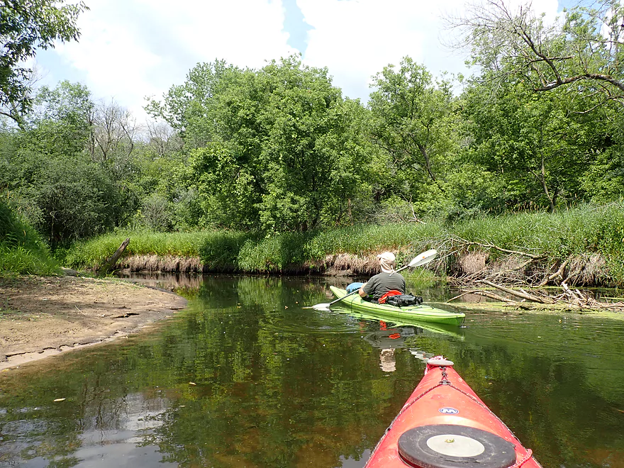
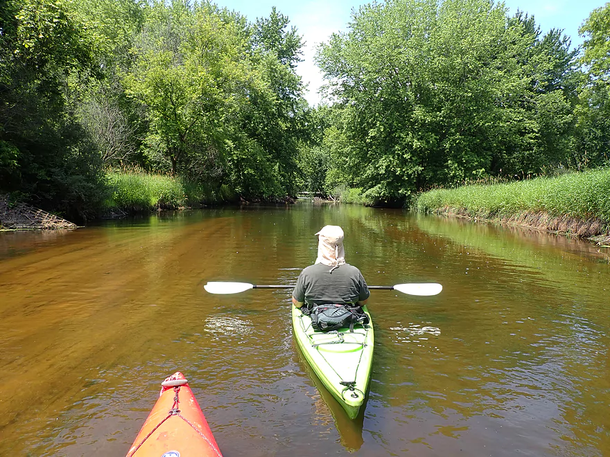
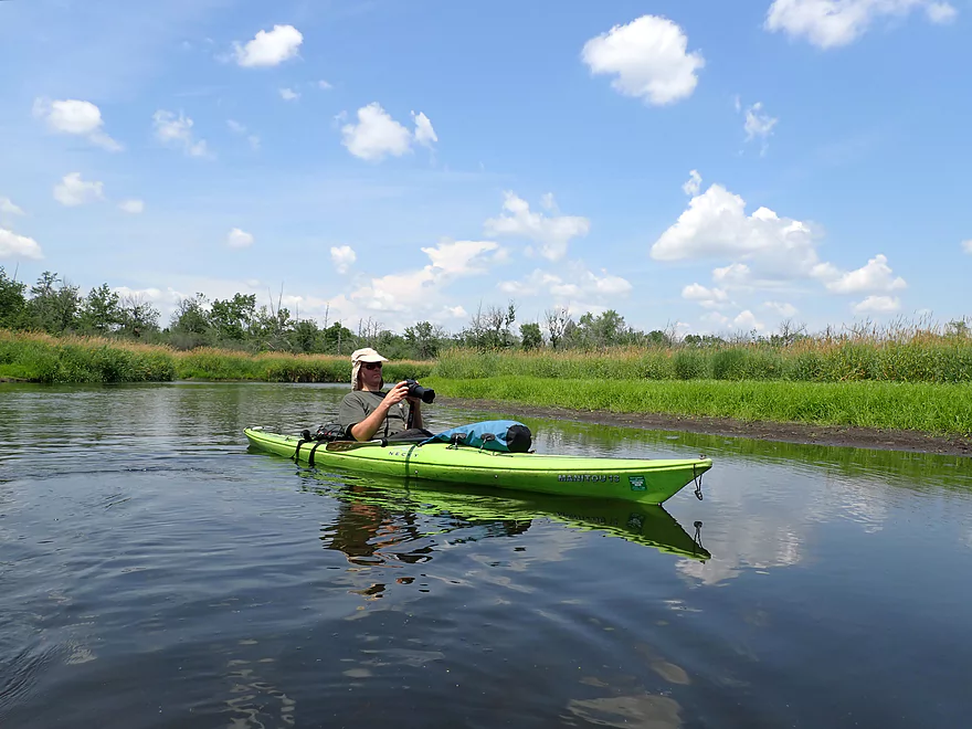
One of the more scenic sections
Clam trails
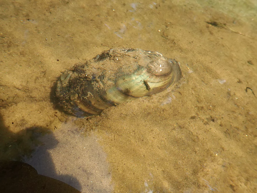
Clams were a common sight
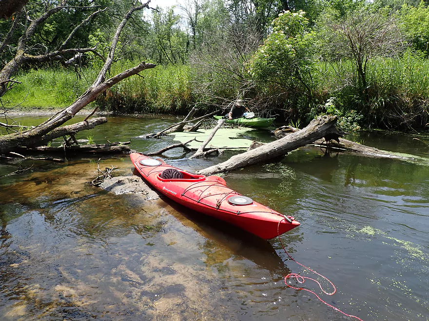
Very sandy stretch
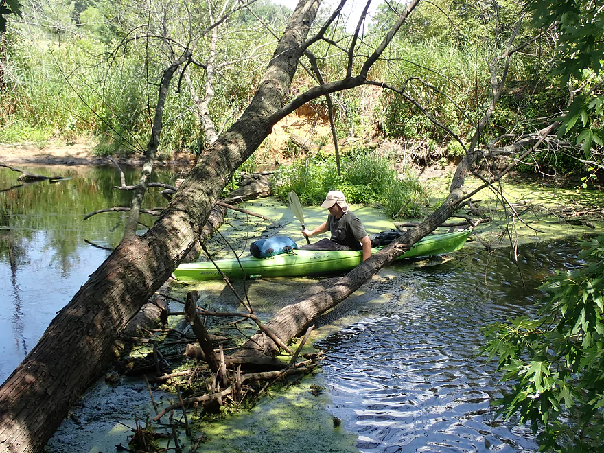
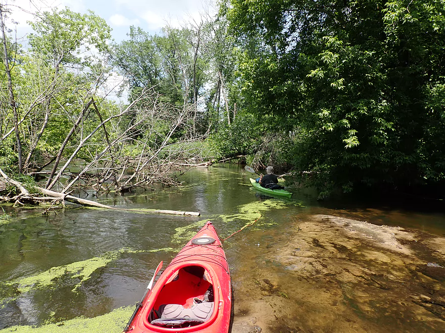
First noteworthy logjam
Able to hop over
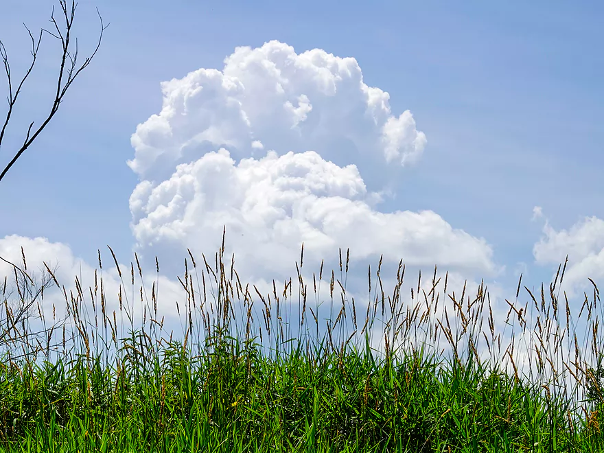
Some nice clouds
Second noteworthy logjam…not bad
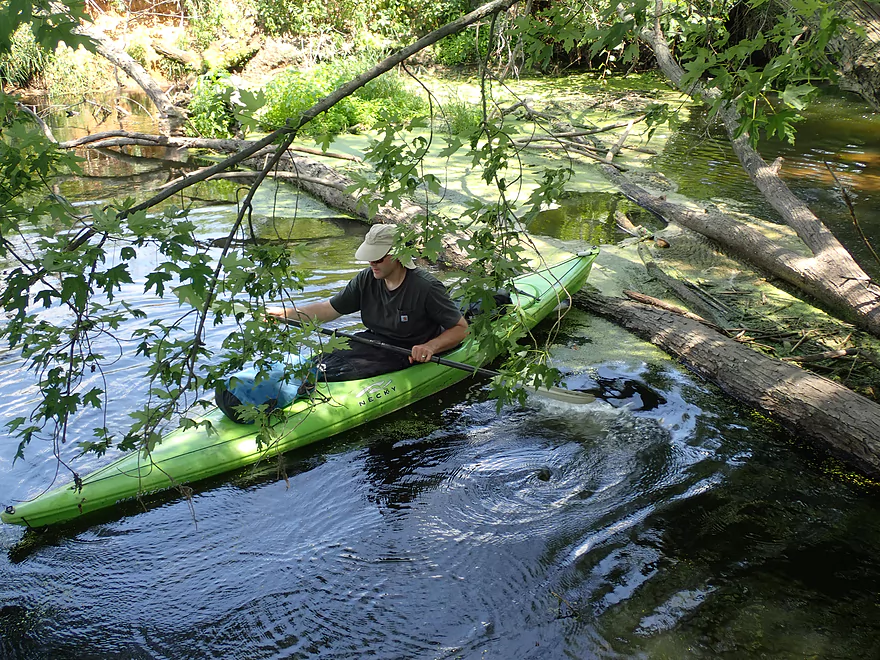
This stretch has some deadfall
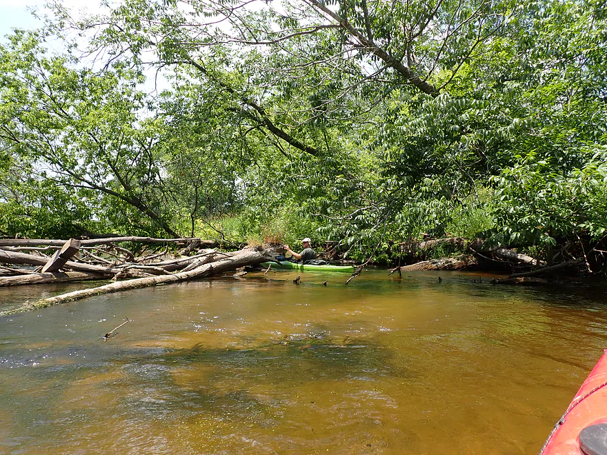
Kind of a mess
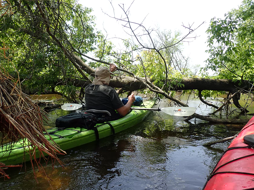
But able to sneak under…
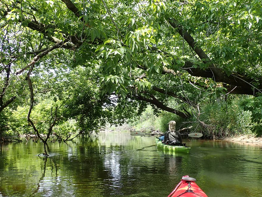
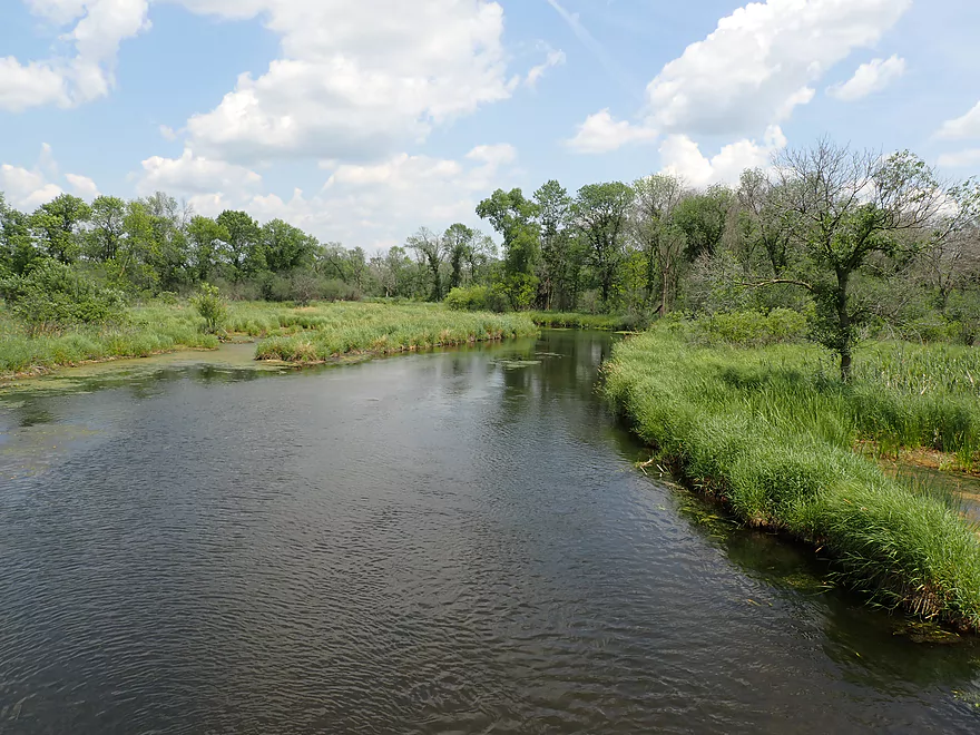
This reminded me of the Fox River near Portage
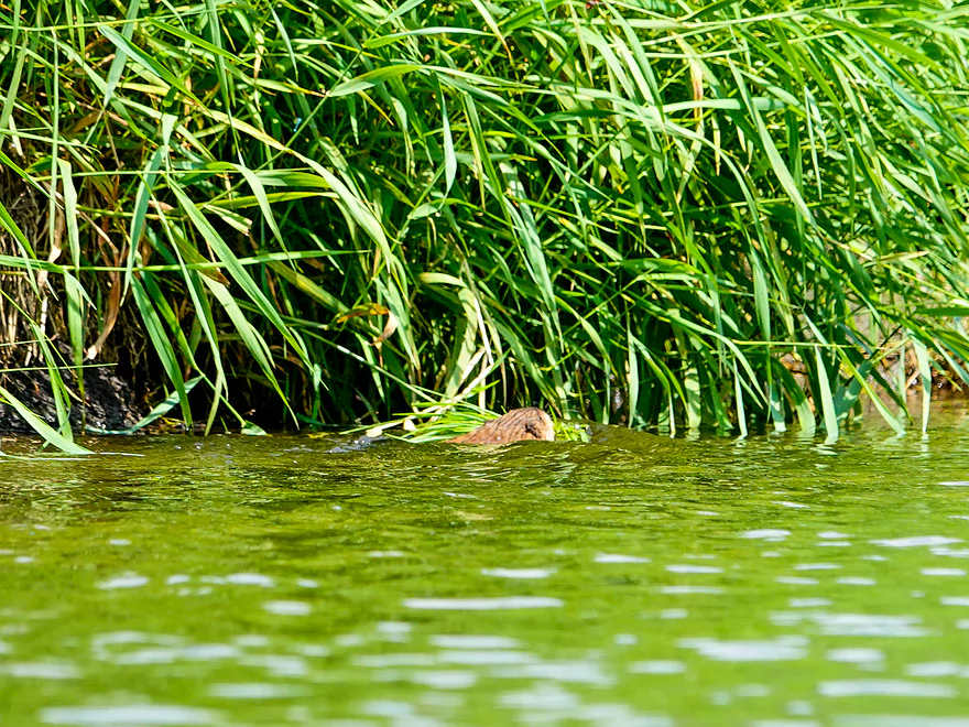
A beaver with a big mouthful of plants
His home
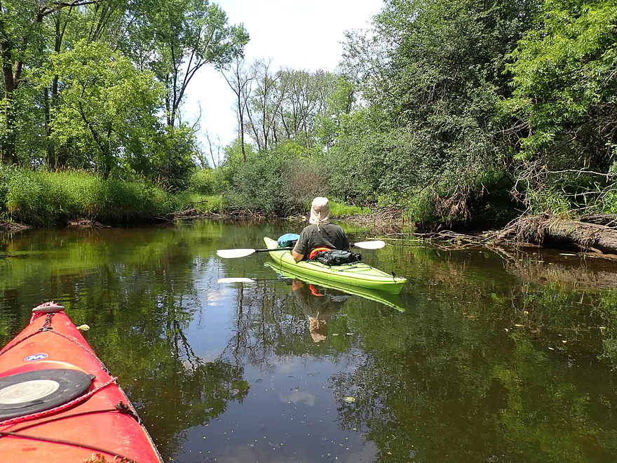
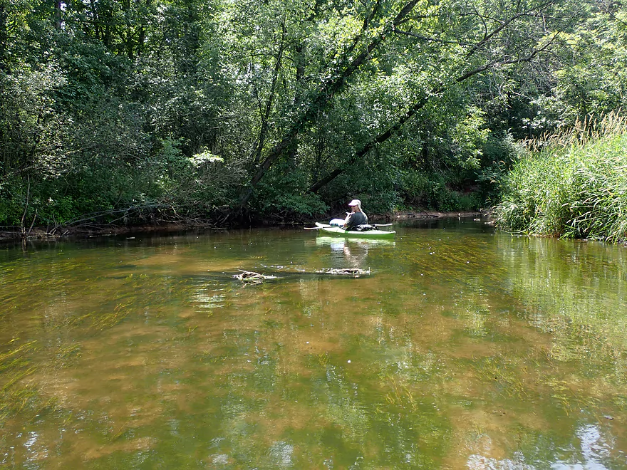
Nice relaxing section
More good clarity
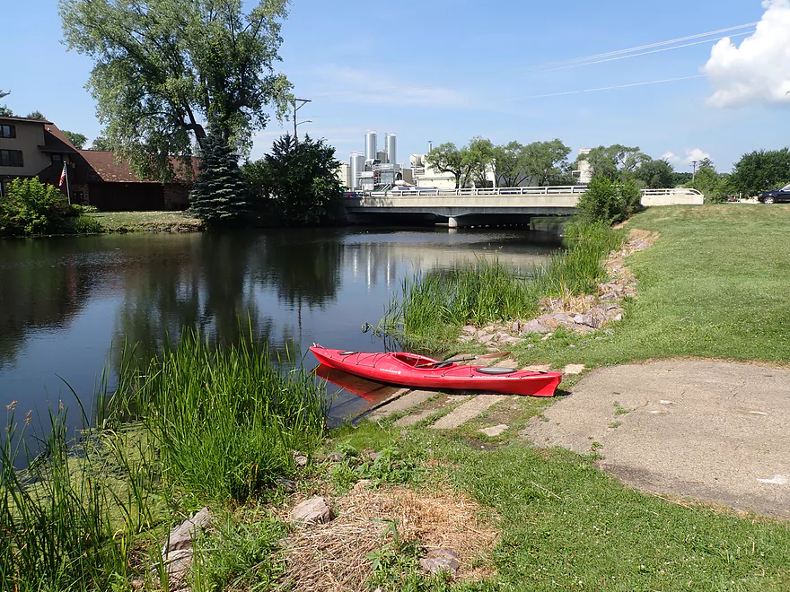
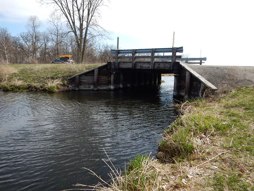
Hwy G
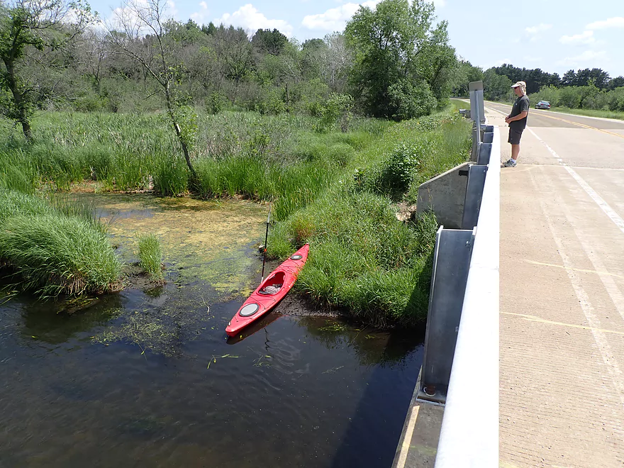
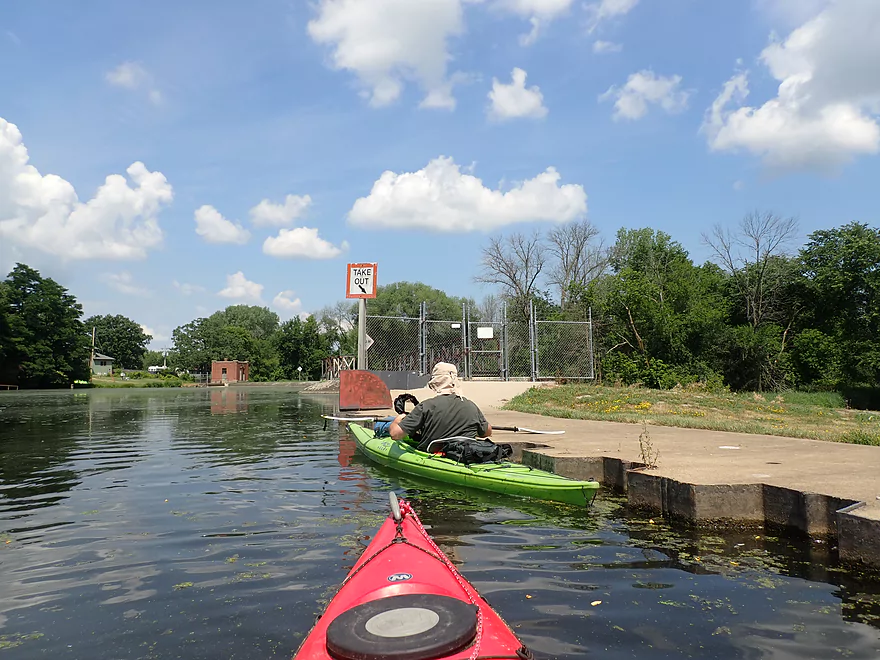
Bit of a weedy take-out but doable
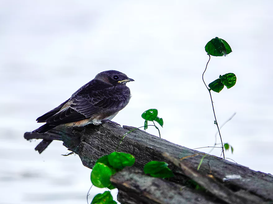
A baby swallow
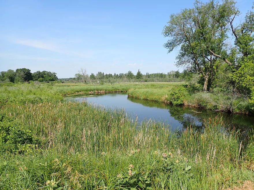
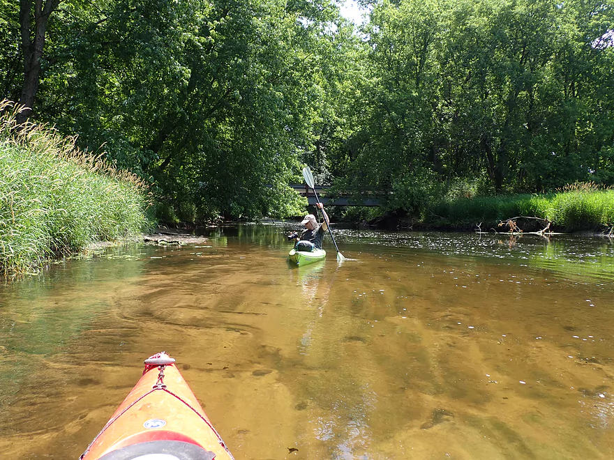
View downstream from bridge
View upstream
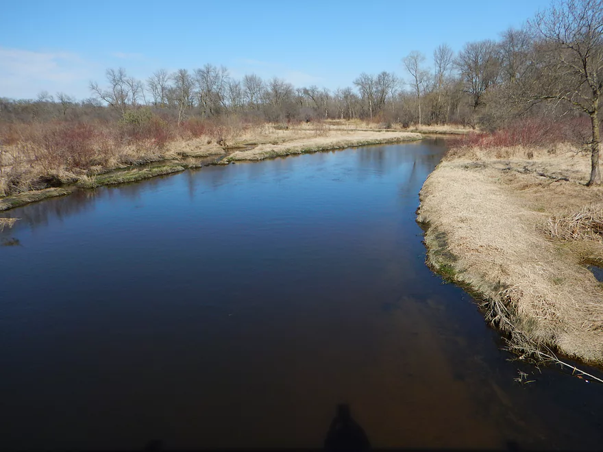
Same view…but taken five years ago
Scouting alternate put-ins…Wyona Park is a good option
I do see paddlers occasionally take out at Hwy 51 (looking upstream)
Duck Creek Road is another good access
View upstream
Duck Creek


Duck Creek is an obscure tributary to the Wisconsin River located just southeast of Portage. Five years ago I did a trip on the Middle Branch that was a fun paddle with fantastic clarity. I’ve wanted to return to the creek for quite some time, but only when very low for optimal clarity. Unfortunately we’ve had a lot of rain in the past five years and I kept putting this trip off. Eventually I just gave up trying to time that perfect window and decided to just go for it.
This trip started at the Wyocena boat ramp, which was a good public access. To maintain continuity with my Middle Branch trip I could have started where I last took out at Wyona County Park (one mile upstream). But…that would have entailed a mile of uninteresting flowage paddling so I skipped that.
The first mile was mostly impounded water flowing through the outskirts of Wyocena. The channel here was slow and scummy…the unfortunate byproduct of the downstream dams. There were some highlights though which included a large osprey nest, wild (and ripe) black raspberries, and big balls of “cotton” floating on the water from a nearby cottonwood.
The Wyocena Millpond concluded with three outlets: two dams and one mill race. East of the far right dam was a well marked portage area where we easily portaged. While the shoreline east of the dam looked like a public access, I checked and it was private. Regardless you’re perfectly legal to portage dams and other dangerous obstructions using private property.
Between the dam outlets and the mill race was a large island. We paddled the north channel which was narrow, wooded and peaceful with some nice reflections. At the north end of this side channel was yet another side channel which we didn’t take but it seemed intriguing. Checking satellite maps after the trip revealed that it would likely have some logjams but also be mostly open and flow for almost two miles. This might be a future trip idea.
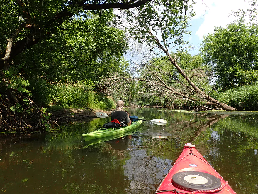
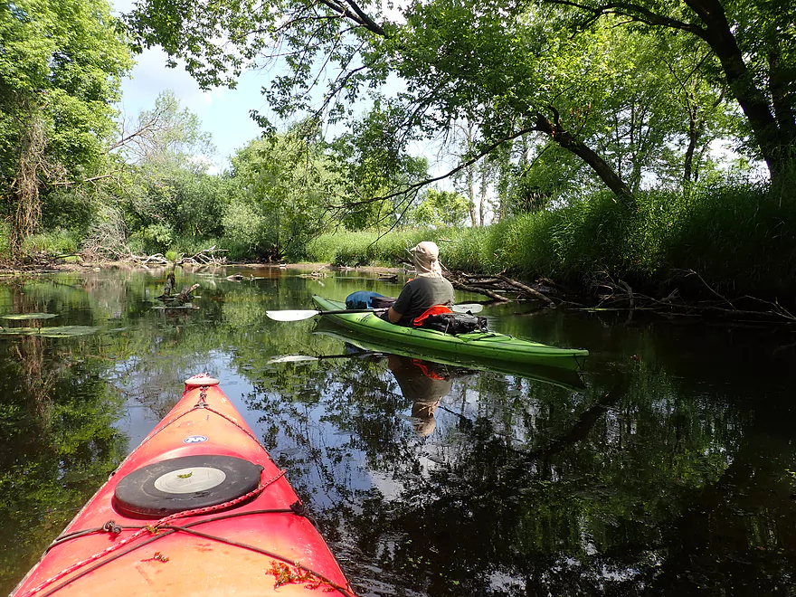
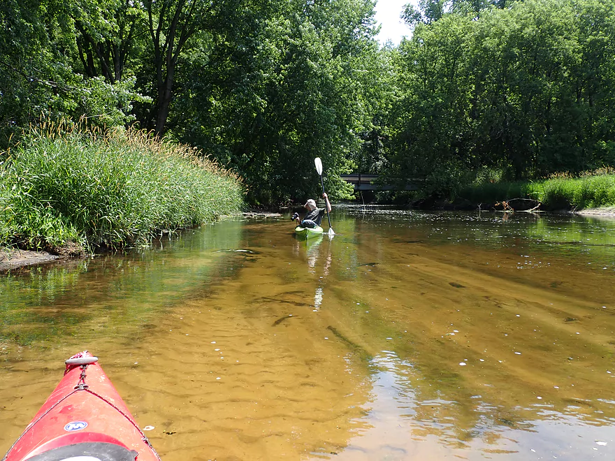
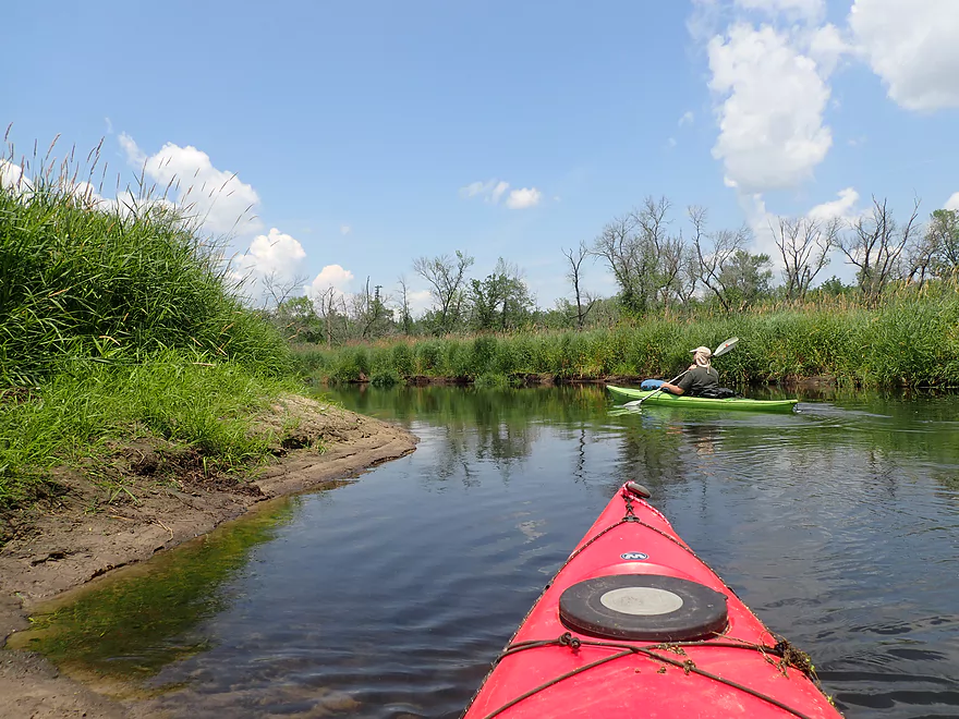
Following a small private bridge was a really nice sandy stretch with incredible clarity. It very much reminded me of the Middle Branch trip I did five years ago. About a half mile later we finally encountered some deadfall. Strictly speaking none of the logjams had to be portaged, but some required some creative hopping and ducking to get past. I didn’t think this was too bad. Duck Creek (unlike say the nearby Baraboo) isn’t super deep and in several spots you could simply wade past the jams.
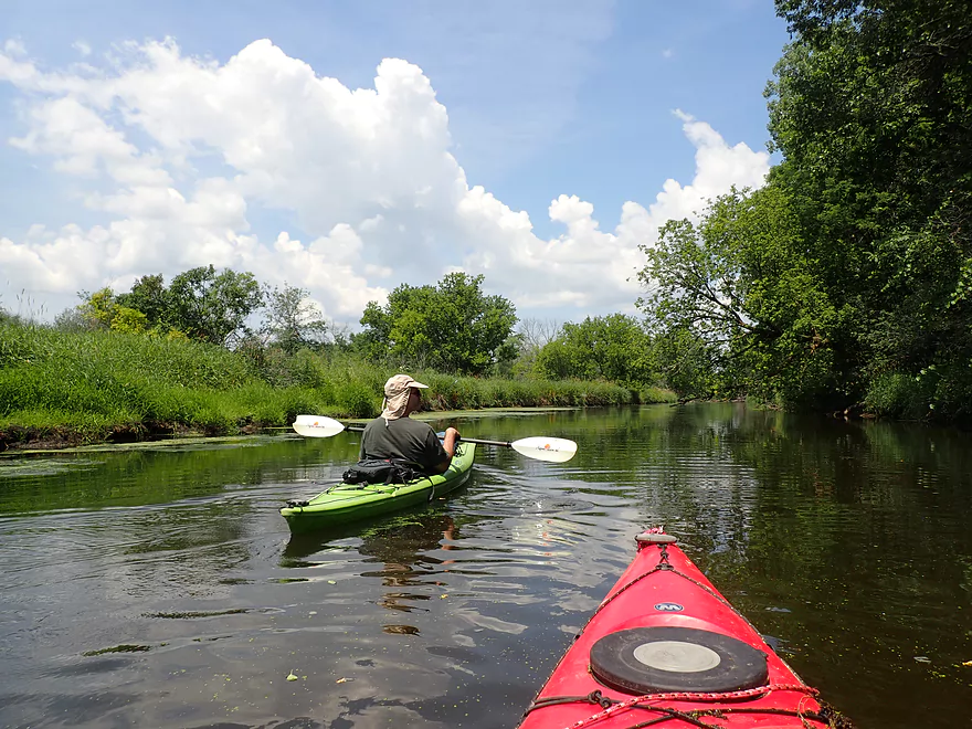
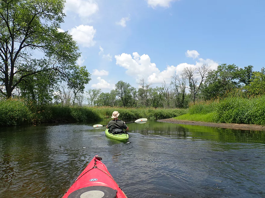
The creek changed quite a bit once the north side channel rejoined the main branch. After that the channel meandered aggressively, there were fewer trees, and the banks were more grassy. This section very much reminded me of the Fox River near Portage.
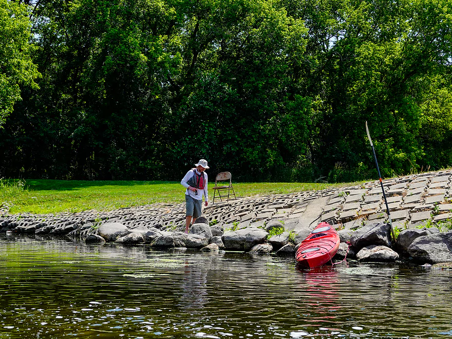
The trip ended at Hwy G, which was a bit weedy but was an acceptable bridge access. Most paddlers won’t end their trip here, but will continue 7 additional miles to the next downstream bridge access. But it was 90+ degrees and we were content to just do a short trip that day.
In summary this was a nice trip with the highlight being the clear water. Yes, this trip did have logjams, but I thought they were manageable and I would actually rank Duck Creek ahead of several other Portage area paddles (French Creek, Upper Fox River, Neenah Creek, Rocky Run Creek, Lower Baraboo River, etc…). But…it wasn’t quite as nice as my upstream trip on the Middle Branch. The secret to enjoying Duck Creek is to go on a sunny and at low water levels so you can enjoy its impressive clarity.
Wyocena Boat Ramp: This is a good public put-in with a small public parking lot east of the landing. There are no outhouses.
Alternate Put-ins:
- Wyona Park (1 mile upstream of Wyocena Boat Ramp): This is a nice public park and a good access option. Launching on the lake though would add a mile of open water paddling which may not interest everybody.
- Hwy G (3.5 miles upstream of Wyocena Boat Ramp): This is a bridge access that isn’t very private, but is likely suitable. The creek below Hwy G is very scenic.
Hwy G: The banks are a bit weedy here, but it’s not a bad bridge access. It’s not uncommon to see paddlers put in here for downstream trips.
Alternate Take-outs:
- Hwy 51 (6.5 miles downstream of Hwy G): Hwy 51 is a busy road, but it is a doable access and I do occasionally see vehicles parked here.
- Duck Creek Road (6.9 miles downstream of Hwy G): There is a nice access at the end of a 1000′ one-lane, dead-end road. This is more private than Hwy 51 and is the better access.
Hwy G to Wyocena Public Ramp: 2.2 miles and 23′ of ascent. While I car shuttled, this would be an easy bike shuttle. The only downside is the shoulders aren’t very big.
Logjams: The creek is mostly open and clear…but there were three noteworthy logjams. Determined paddlers can actually squeak by these without portaging…but if need be the portages wouldn’t be bad. Personally I didn’t think these logjams were a big deal…but other paddlers may disagree. Locations and notes about the logjams are available on the trip map.
Dams: Wyocena Millpond has a dam that must be portaged. This is relatively easy to do along the eastern shore where there is a marked portage path.
Nearest Gauge: Spring Creek @ Lodi (trip done at 3.8′)
- < 3.6′: This might be too shallow
- 3.6′ – 3.7′: On the shallow side but a good depth with excellent clarity.
- 3.7′ – 3.8′: Average depth with ok clarity
- 3.8′ – 3.9′: Above average depth…some clarity.
- 3.9′ – 4.0′: A high depth…likely still a viable paddle though.
- 4.0′ – 4.1′: A very high depth…may not be an enjoyable paddle.
- 4.1’+: Maybe too high for good paddling.
To see an overview map of Duck Creek click here.
Duck Creek – Main Branch:
- Wyona County Park to Wyocena Boat Ramp: 0.7 miles. A brief flowage paddle on Wyona Lake.
- Wyocena Boat Ramp to Hwy G: 2.9 miles. A nice stretch with decent clarity.
- Hwy G to Duck Creek Road: 6.7 miles. A wider and slower section…more of a marsh paddle. Hwy G is an alternate put-in.
- Duck Creek Road to Mouth/Dekorra Landing: 5.6 miles. This is a floodplain forest paddle in which logjams and getting lost can be an issue. Navigational aids are recommended…as is going when water levels are high enough. Despite this, it is a neat prospect that I’ve partly done before.
Duck Creek – Middle Branch:
- Upstream of Raddatz: There may be navigable sections this far upstream…I’m not sure though.
- Raddatz Road to Hwy SS: 1.9 miles. This is a small marsh paddle that may require high water to run. There could be four logjams.
- Hwy SS to Schliesman Road: 2.7 miles. Mostly open, clear, sandy water…but might be log jam issues at the end.
- Schliesman Road to Wyona County Park: 4.2 miles.
-
- Schliesman Road to Hwy G: 1.9 miles. A nice stretch with good clarity. There may be several logjams to squeak through and two low bridges to portage.
- Hwy G to Wyona County Park: 2.5 miles. One dam to portage…the dam owner is crazy and very irrational. She thinks (falsely) she owns Duck Creek and only she can use it. After the dam there is stunning clarity and it’s a really cool stretch.
-
Duck Creek – North Branch:
At Wyona Park, the North Branch of Duck Creek joins the Middle Branch and significantly changes the character of the stream. The North Branch is bigger and dirtier, but still not bad.
- W. Florence St./Cambria to Welsh Prairie Road: 2.0 miles. Looks like a nice creek paddle. Maybe 1-2 downed trees.
- Welsh Prairie Road to Sawyer Road: 4.5 miles. Heavily straightened and channelized running through an expansive wet prairie. Might be a few downed trees. Suggest going at high water as the channel does get extremely narrow.
- Sawyer Road to Hwy SS: 4.2 miles. Very open and channelized. Log jams shouldn’t be an issue.
- Hwy SS to E. Bush Road(1st): 2.6 miles. Inviting section. Maybe 2-3 log jams. There are No Trespassing signs near Hwy SS so be mindful of where you are at.
- E. Bush Road(1st) to E. Bush Road(2nd): 4.8 miles. Very open part of the creek. Maybe 1 jam.
- E. Bush Road(2nd) to Wyona County Park: 1.9 miles. Mostly open. Maybe 1-2 jams.
Jennings Creek:
- Ludwig Road to Old B Road: 2.6 miles. Water looks clear. Creek is very small and some plowing through overhanging brush may be required. Tough to know about logjams. Maybe 7.
- Old B Road to Hwy SS: 1.8 miles. Small, nice looking creek with clean water and some riffles. One dam to portage…maybe 7 logjams.
Duck Creek – South Branch (aka Roelke Creek):
- This is the cleanest of the Duck Creek tributaries and is a cool creek. I don’t know if it is completely viable for paddling though and I do need to scout it more in depth in the future.
Trip Map
Overview Map
Video
Photos Size: