
Put in at Flemings Rapids
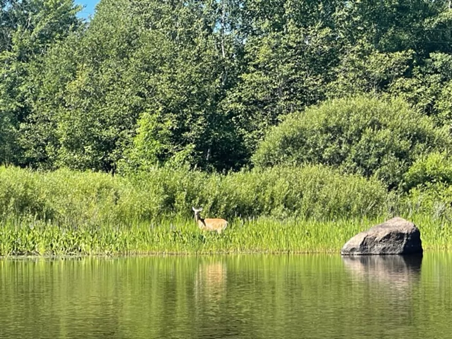
A deer shortly after launching
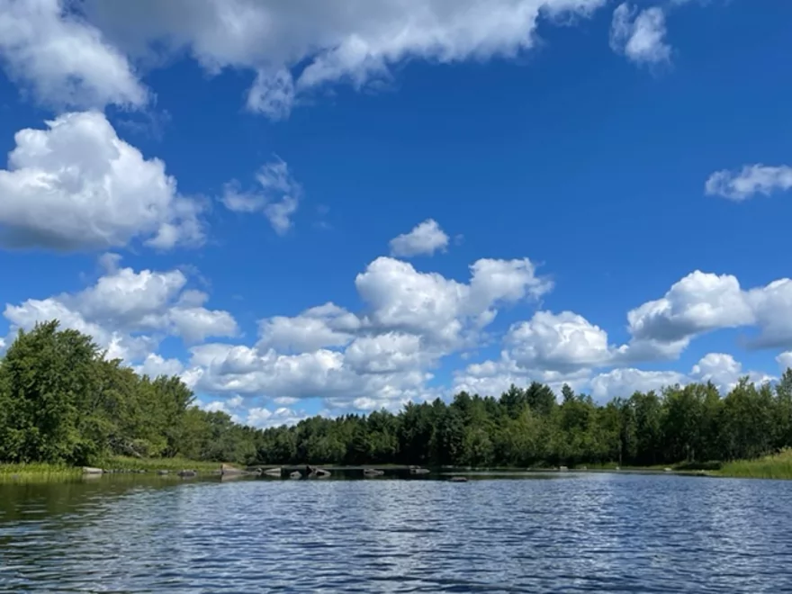
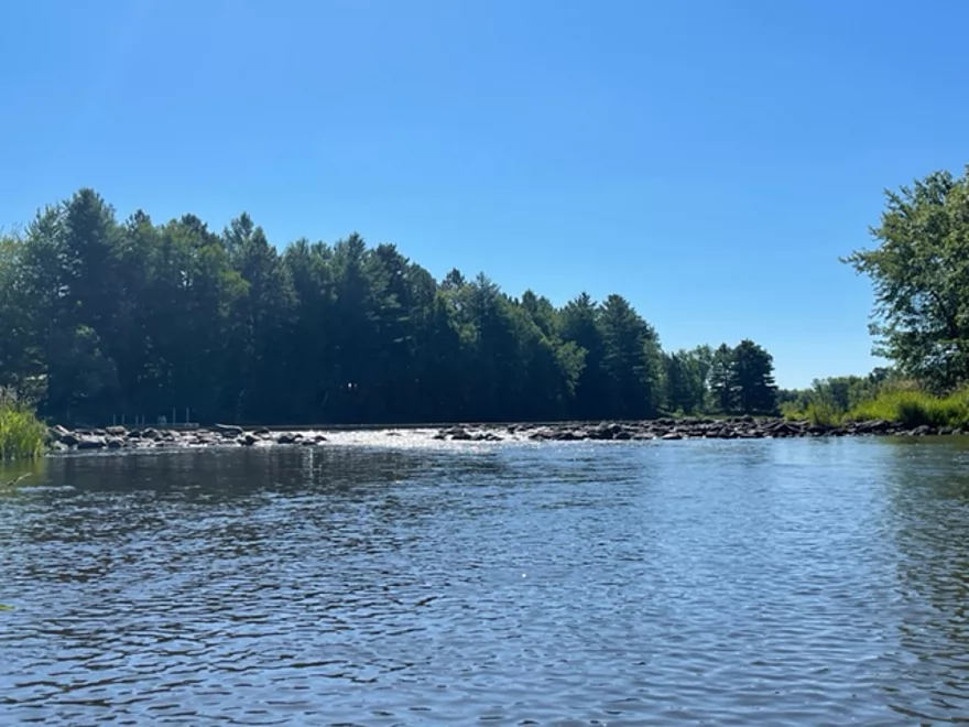
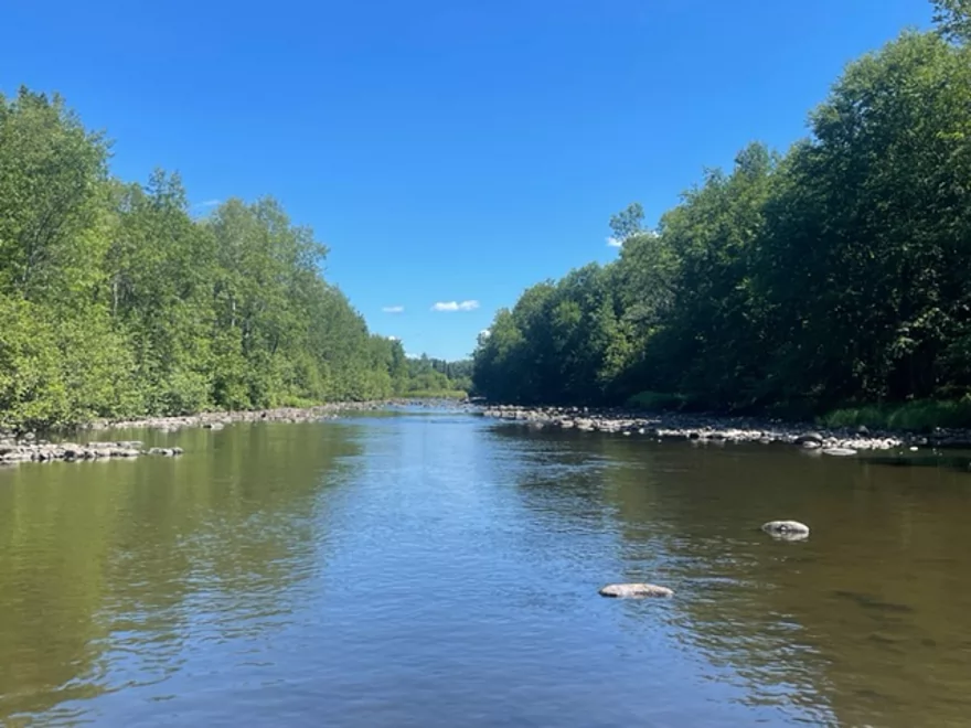
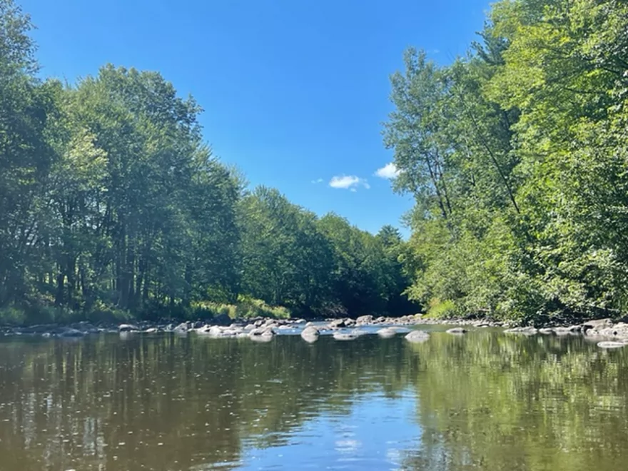
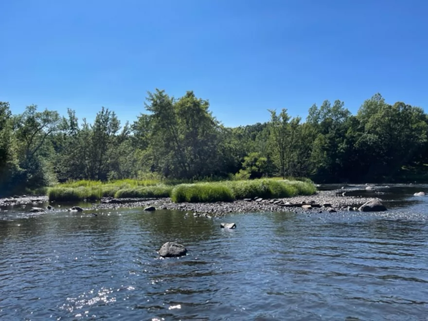
Very scenic
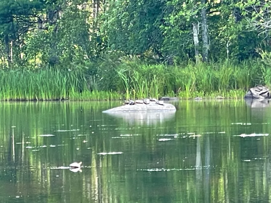
Many of the rocks had turtles
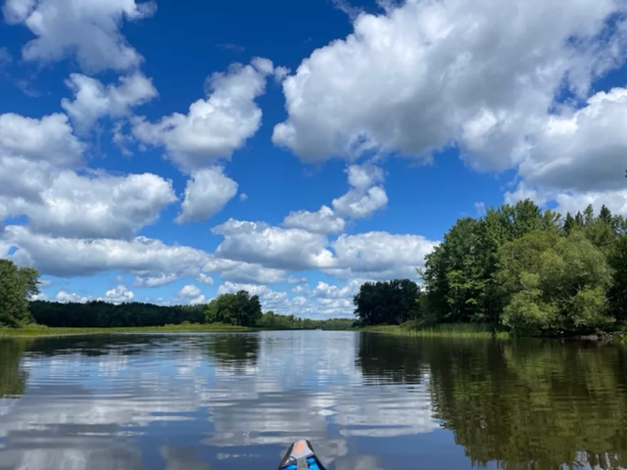
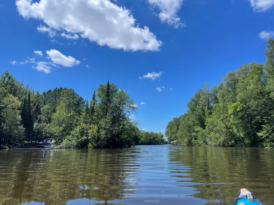
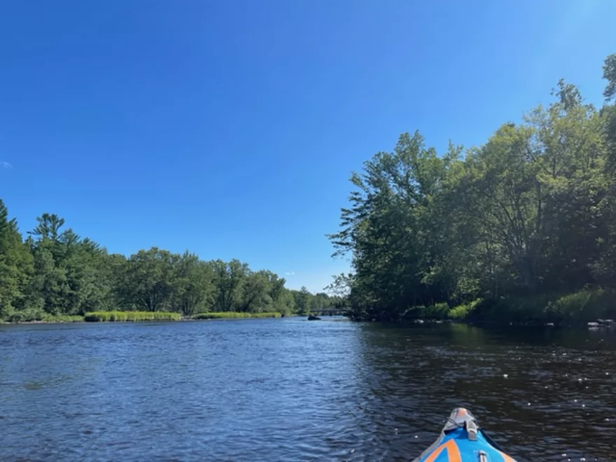
Approaching Grass Lake
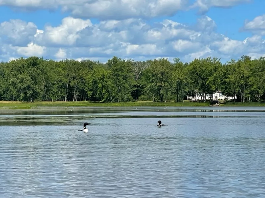
Loons on Grass Lake
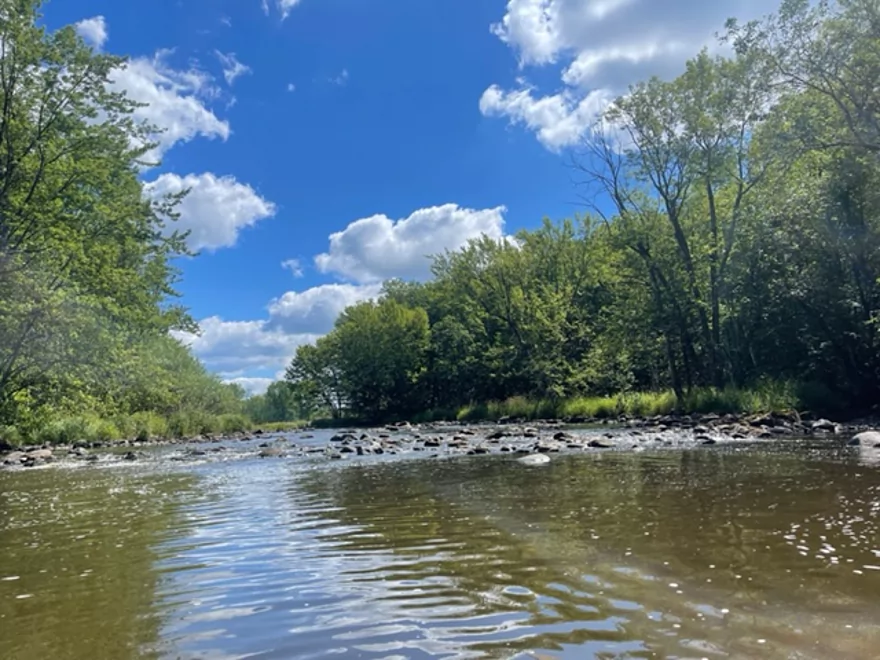
Approaching rapids that were too shallow
Lots of rocks to dodge
Approaching Soo Lake
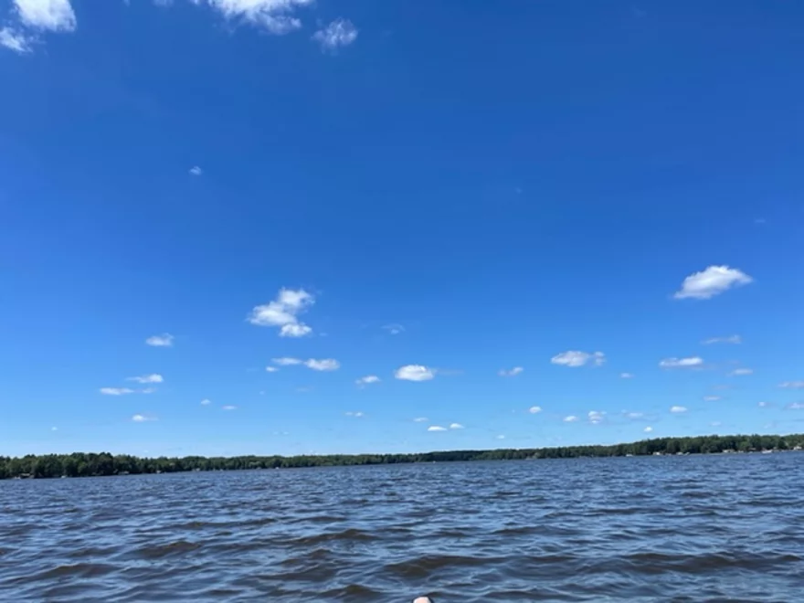
Paddling across the lake
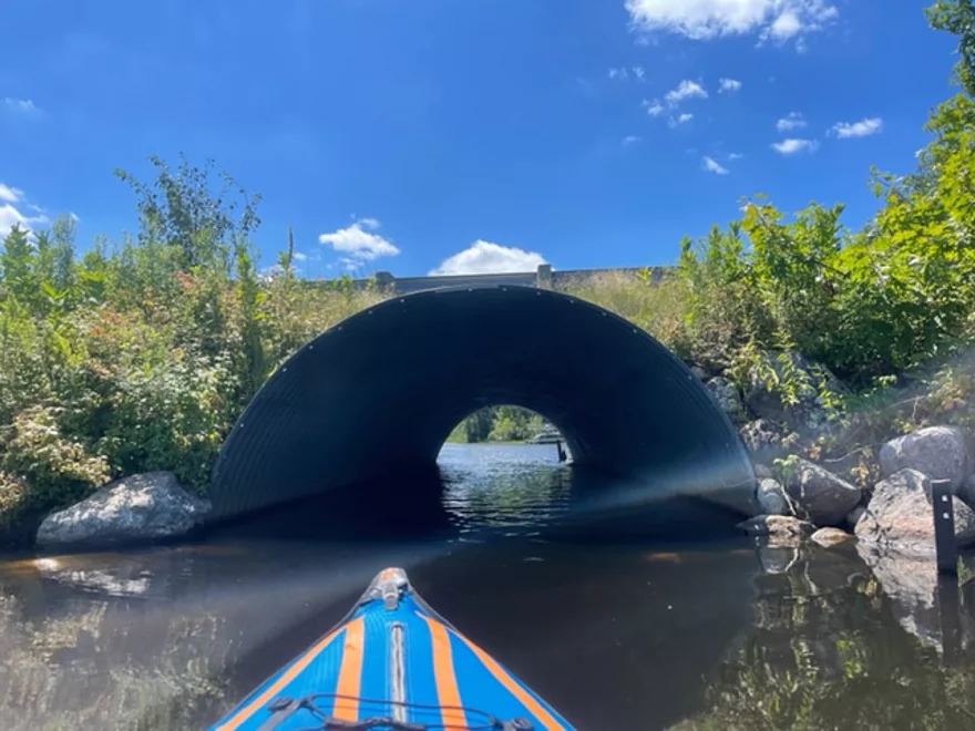
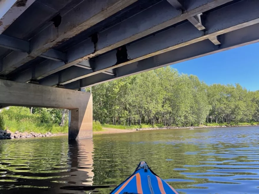
Paddling under a causeway
The No wake section of Soo Lake
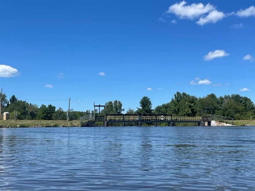
Wiemers Dam and the end of the lake
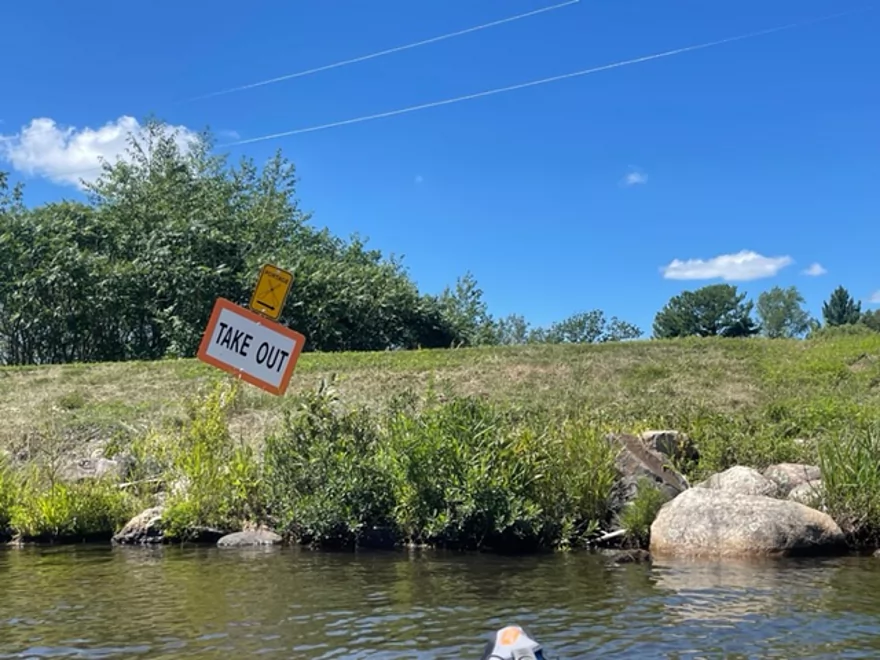
Good take out
Calm section after the dam
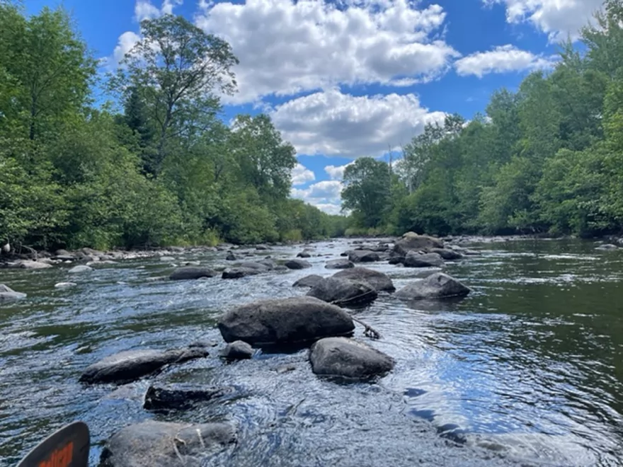
Approaching more shallow rapids
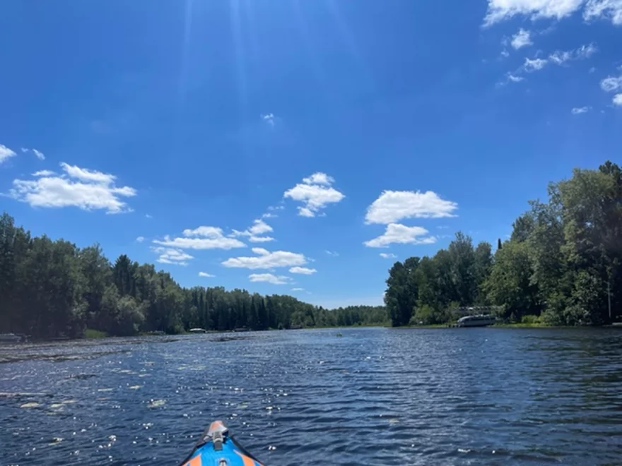
Flowing into the South Fork Flambeau River
The Flambeau
Take out at Hwy W
Elk River – Flemings Rapids Rd to Hwy W

The Elk River is the source for a series of flowages in Price County. The trip passed through Soo Lake.
The put-in at Flemings Rapids Rd is very good with parking spots at the bridge approaches and is a popular fishing spot. The trip started out with abundant wildlife including a deer, loons, and many turtles. Grass Lake was the first lake encountered and is fairly shallow as expected. However, it was a good paddling depth.
After Grass Lake, there were a series of smaller rapids that were too shallow to run. The rapids had to be walked due to a lack of flow. Once the rapids were finished, the depth improved approaching Soo Lake.
Paddling across Soo Lake was very enjoyable with boats and jet skis keeping their distance. There weren’t many waves and was easy to paddle across. The stretch closest to the dam is a no wake zone.
Wiemers Dam was easy to Portage with a path and a portapotty. The depth below the dam was good but quickly changed after approaching more rapids. There was a lot of walking through the rapids as the depth deteriorated.
The Elk flows into the South Fork of the Flambeau River which is a little deeper and there was an enjoyable finale to the Hwy W landing.
The scenery and the river has potential to be an excellent trip with higher water levels. I will definitely try again when the rapids can be properly run.
Thanks Peter for the review! WisconsinRiverTrips.com is always very appreciative of guest reviews, and if you the reader is ever interested in submitting one, you can use this online form.
- Upstream from the first FR 131 Bridge: The river is likely too overgrown to paddle.
- FR 131 to FR 136: 3.0 miles. Not much is known about this stretch. I suspect it is more open and marshy. At times the river narrows dramatically and dense vegetation may form difficult bottlenecks for paddlers to get through.
- FR 136 to FR 131: 6.1 miles. Reviewed by Frank Piraino. He described this as an intimate small channel with several shallow boulder gardens. Parts of this section are difficult and include a large snag followed by some rapids in a dense boulder field.
- FR 131 to Hwy H: 1.8 miles. A more open and less wooded stretch of the river.
- Hwy H to Musser Dam: 4.2 miles. First half is narrow, wooded and rocky, and an interesting prospect. Second half is likely uninteresting lake paddling.
- Musser Dam to Big Elk Road: 7.3 miles. Reviewed by Rick Kark. He describes this as wooded and rocky. Some rapids but none greater than Class 1.
- Big Elk Road to Elk Lake Park: 3.7 miles. Mostly wooded with some possible obstructions. Some lake paddling at the end.
- Elk Lake Park to Jobe Dam: 3.7 miles. Mostly a lake paddle through the resort community of Phillips.
- Jobe Dam to Flemings Rapids Road: 2.1 miles. Long narrow lake. Likely not super interesting. Highlight is Flemings Rapids (Class 1) at the end.
- Fleming Rapids Road to Hwy W: 9.2 miles. Reviewed by Peter Johnson.
- Fleming Rapids Road to Grassy Lake: 1.6 miles.
- Grassy Lake: 0.8 miles.
- Grassy Lake to Soo Lake: 2.1 miles.
- Soo Lake to Wiemers Dam: 2.2 miles.
- Wiemers Dam to Hwy S: 0.8 miles.
- Hwy S to Mouth on Flambeau: 1.1 miles.
- Mouth to Hwy W: 0.4 miles.
Trip Map
Overview Map
Photos Size:
Hi: A very nice story and pictures! I grew up on Grassy Lake, not Grass. The water looked low on your trip. During high water the river can increase in height 4-6′ and would probably offer a wild kayak ride. If you continued on rather than taking out at the County Highway W bridge the river is very beautiful, deeper and because it travels thru County and State Forests part of the trip is unspoiled and quite wild. The next take out is the County Highway M bridge in the Flambeau River State Forest. Ed
Thanks Ed for the tip about the take-otus. This is one my todo list!