
A pleasant bike shuttle to start the day
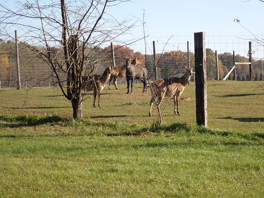
Antelope in Wisconsin?
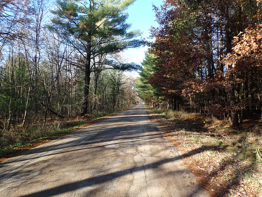
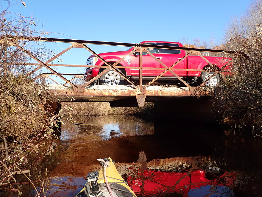
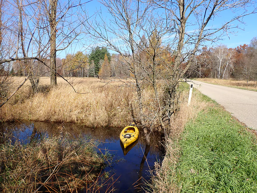
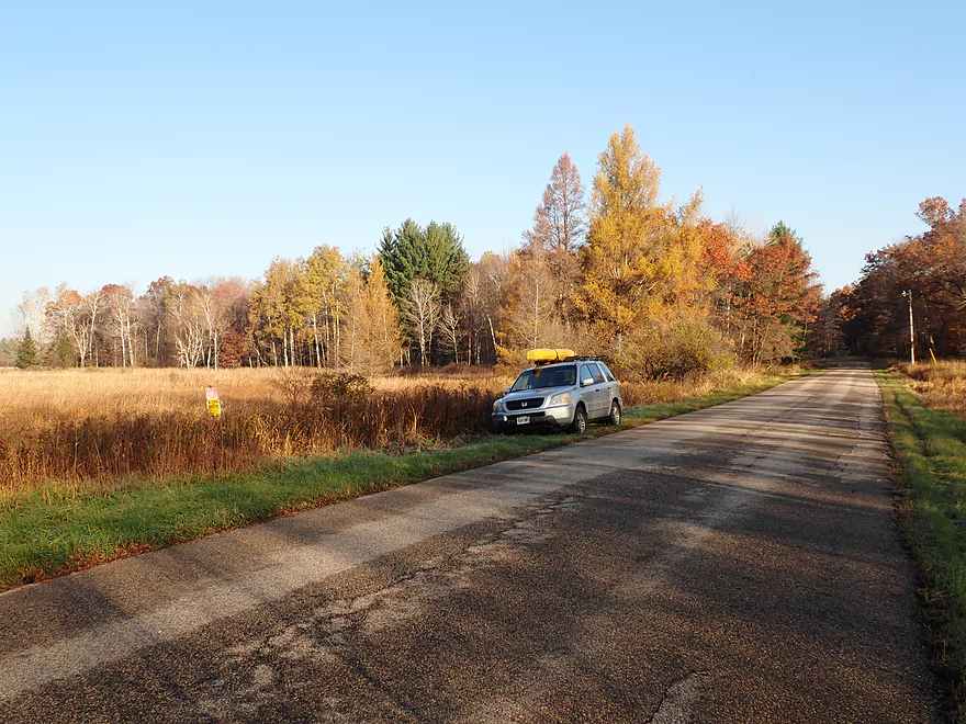
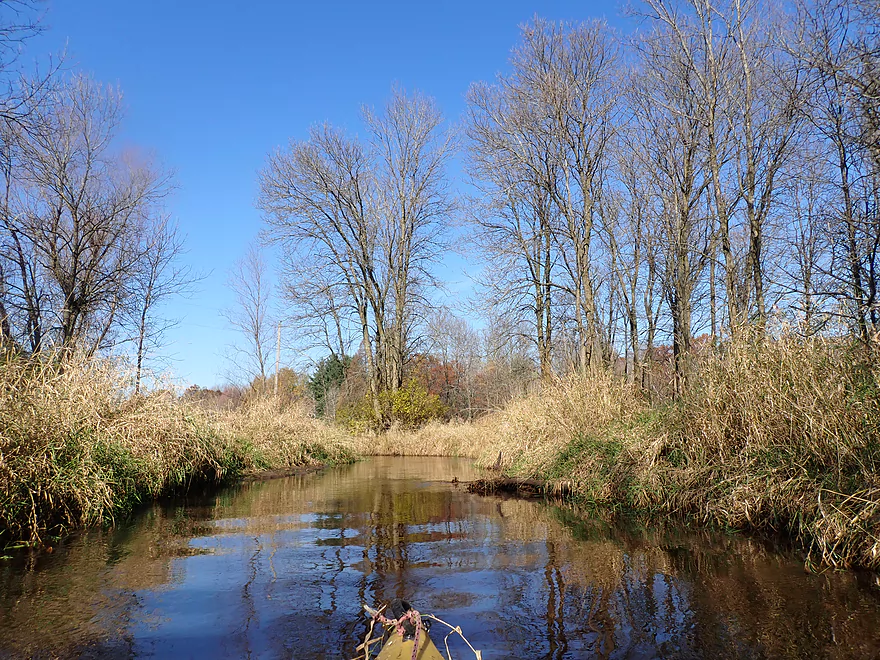
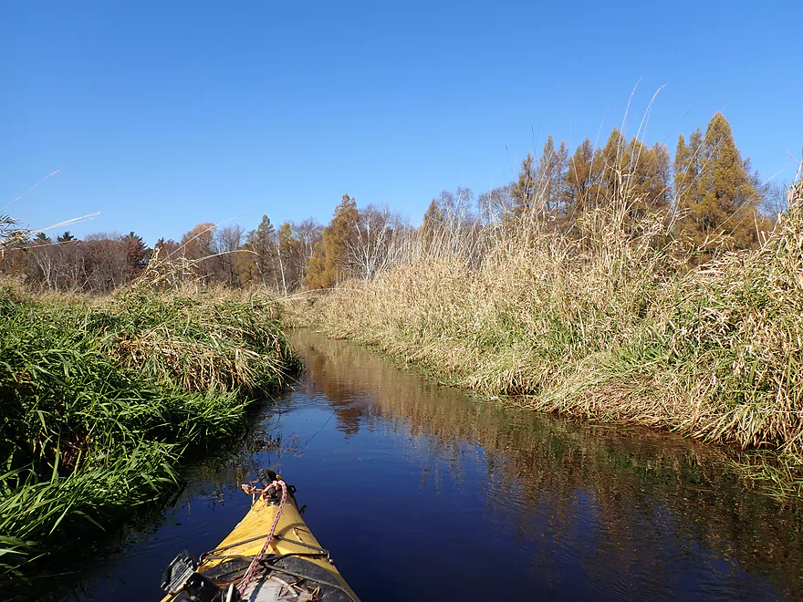
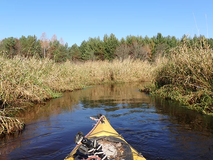
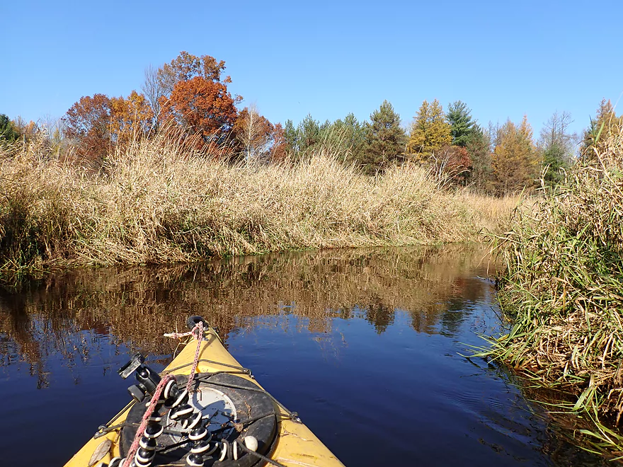
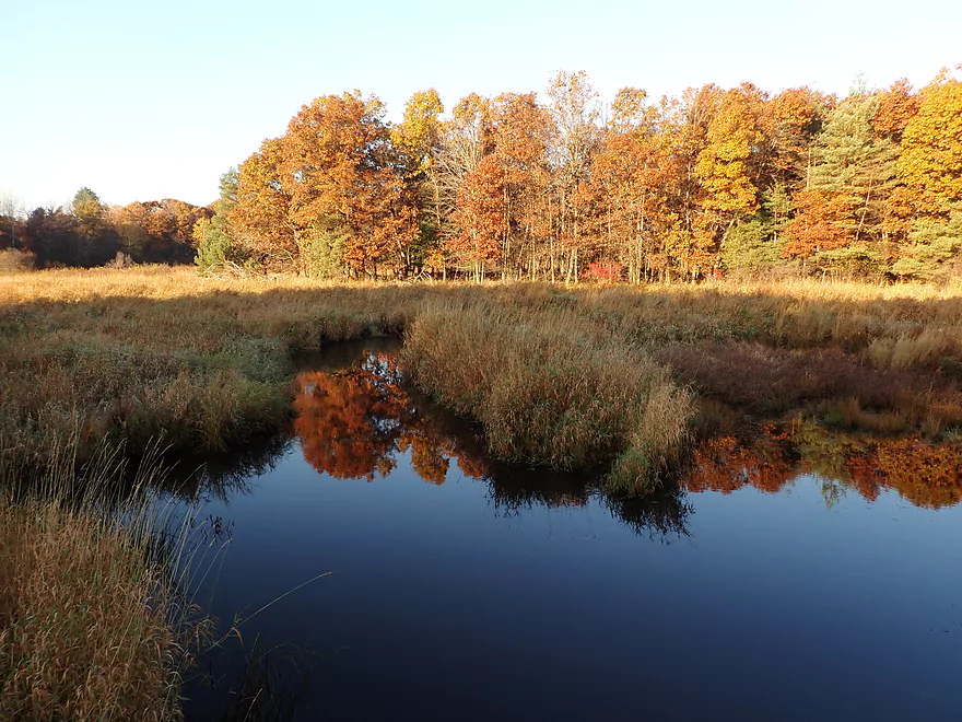
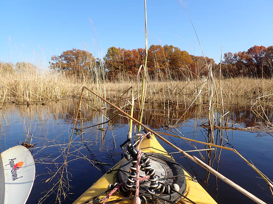
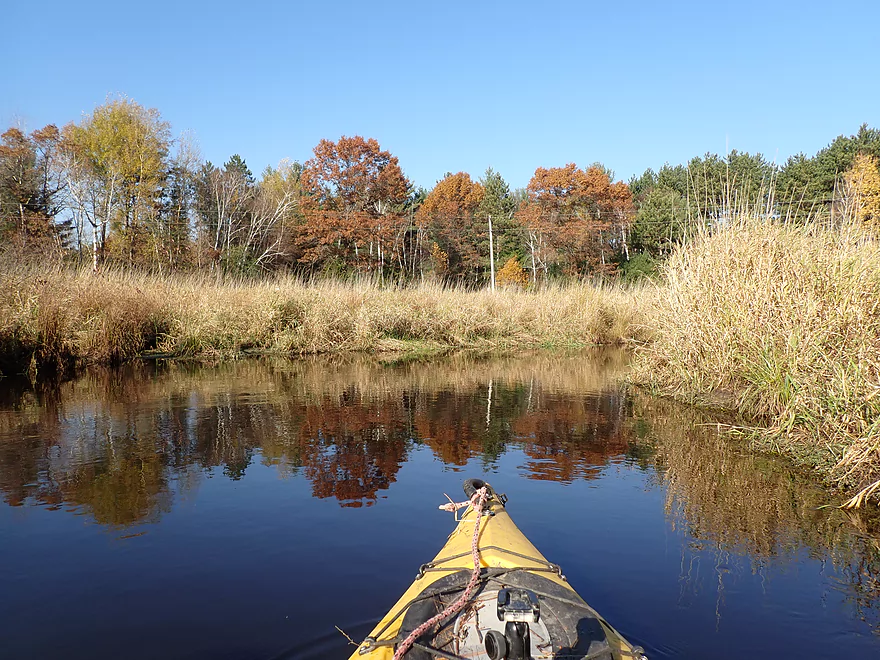
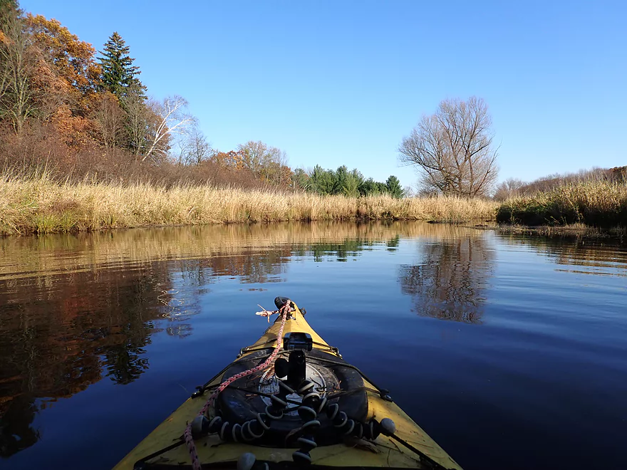
Starting the trip at Eagle Road
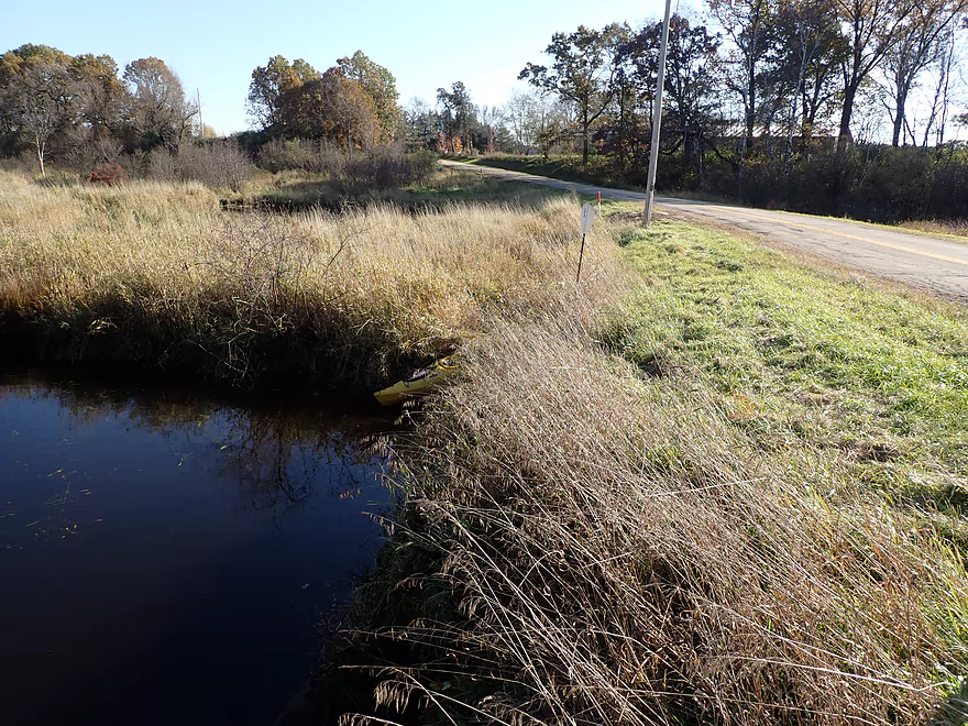
Access is a bit obstructed
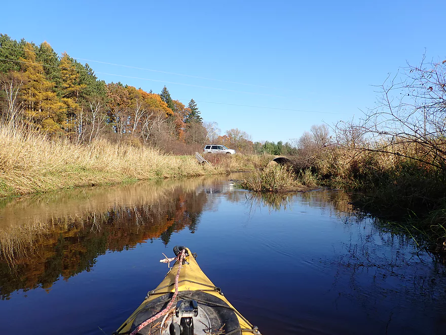
Reverse view of the one lane bridge
Some nice pines
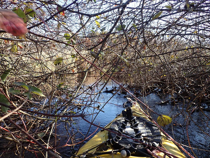
Low-hanging alders were a real nuisance
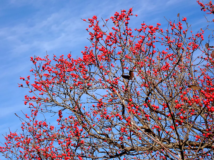
Crabapples
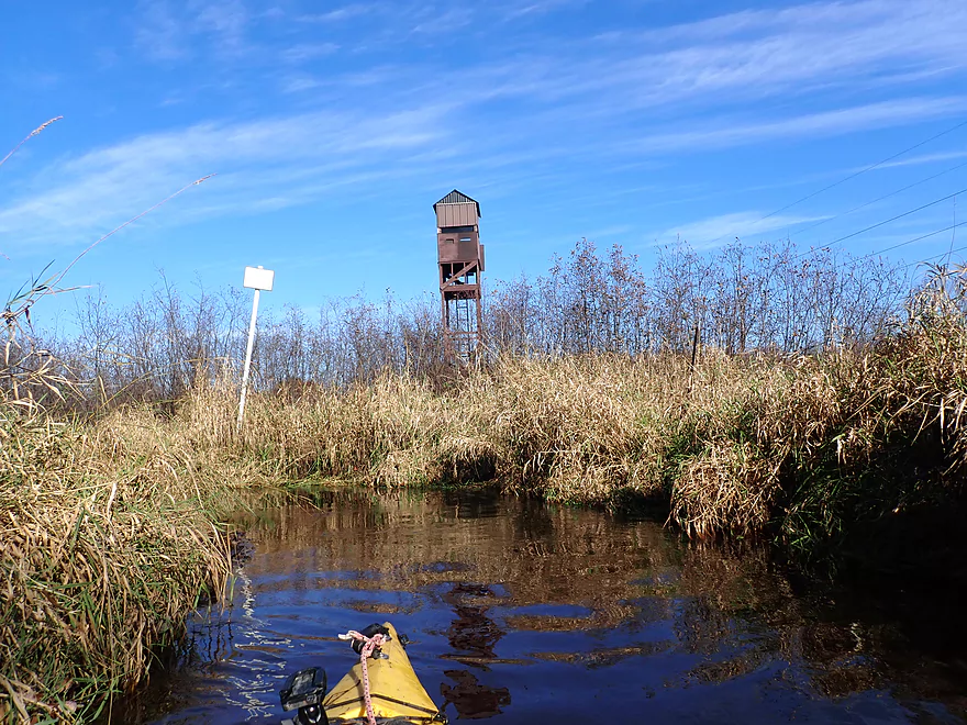
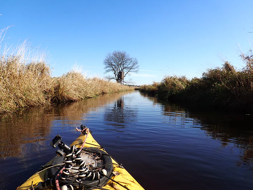
A double-decker hunting tower
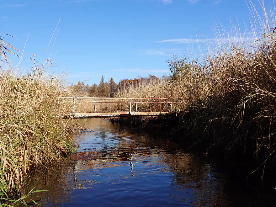
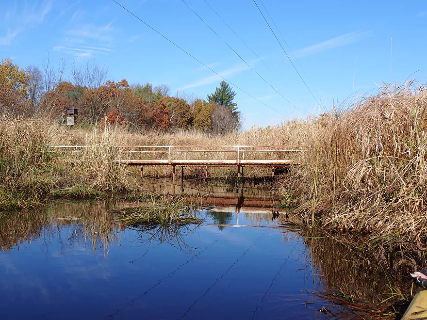
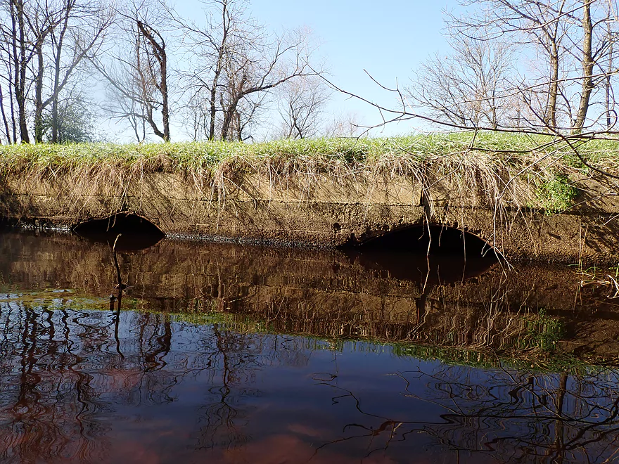
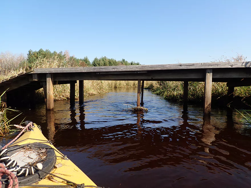
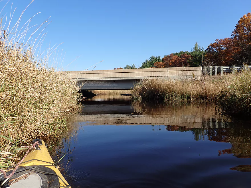
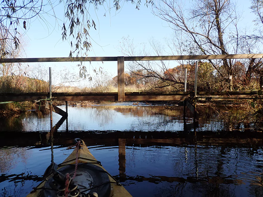
One of several low bridges
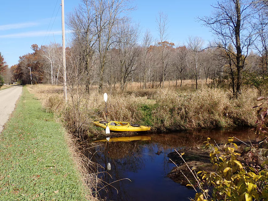
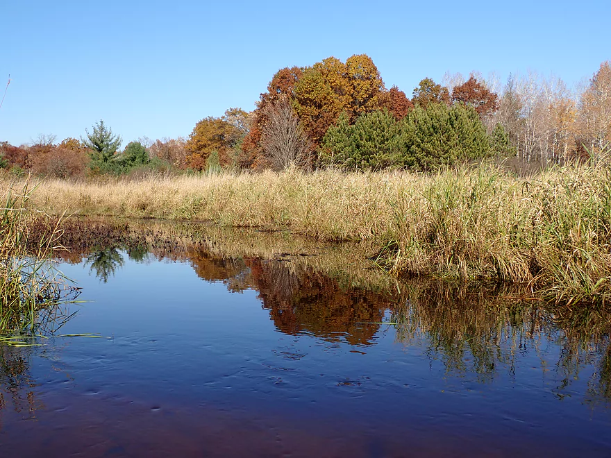
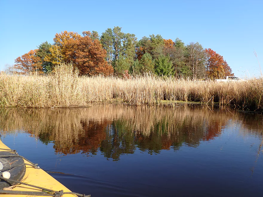
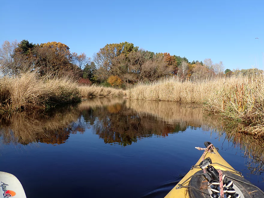
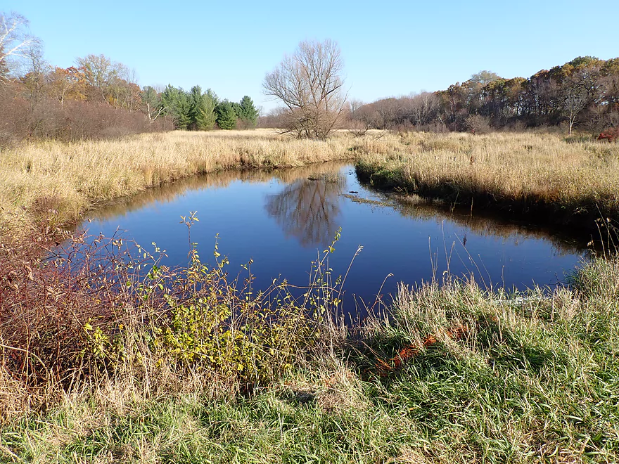
A scenic side bay
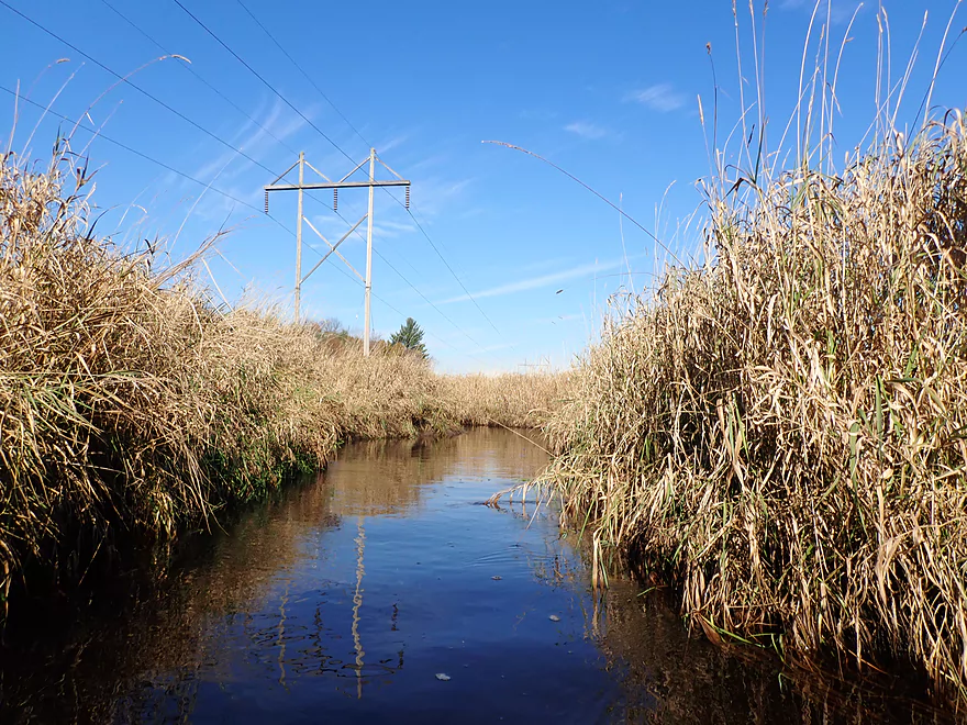
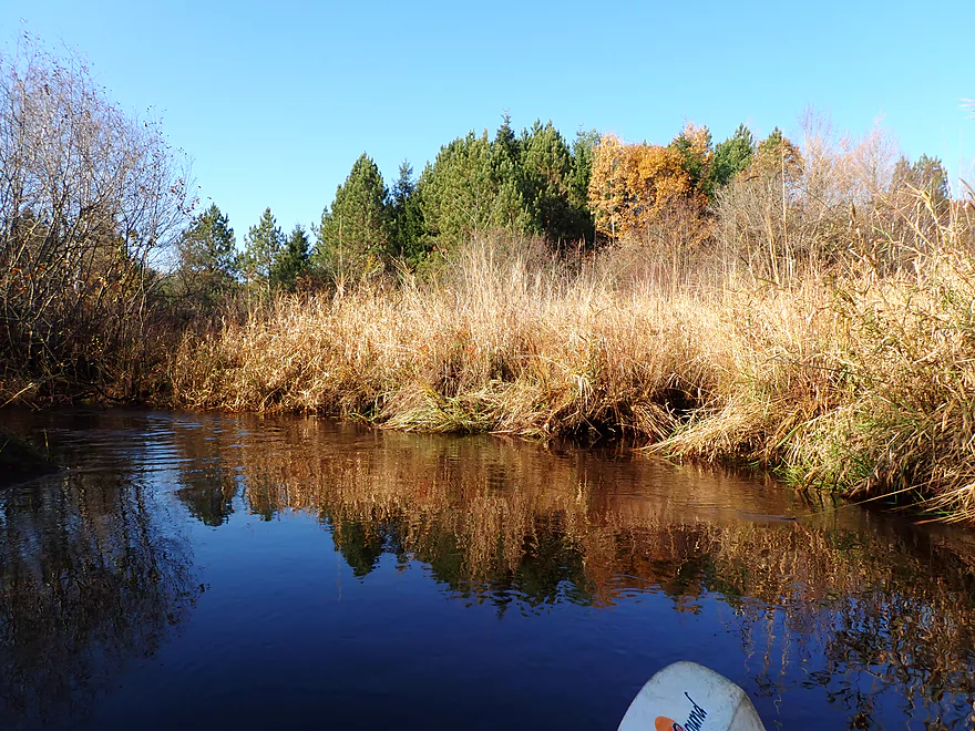
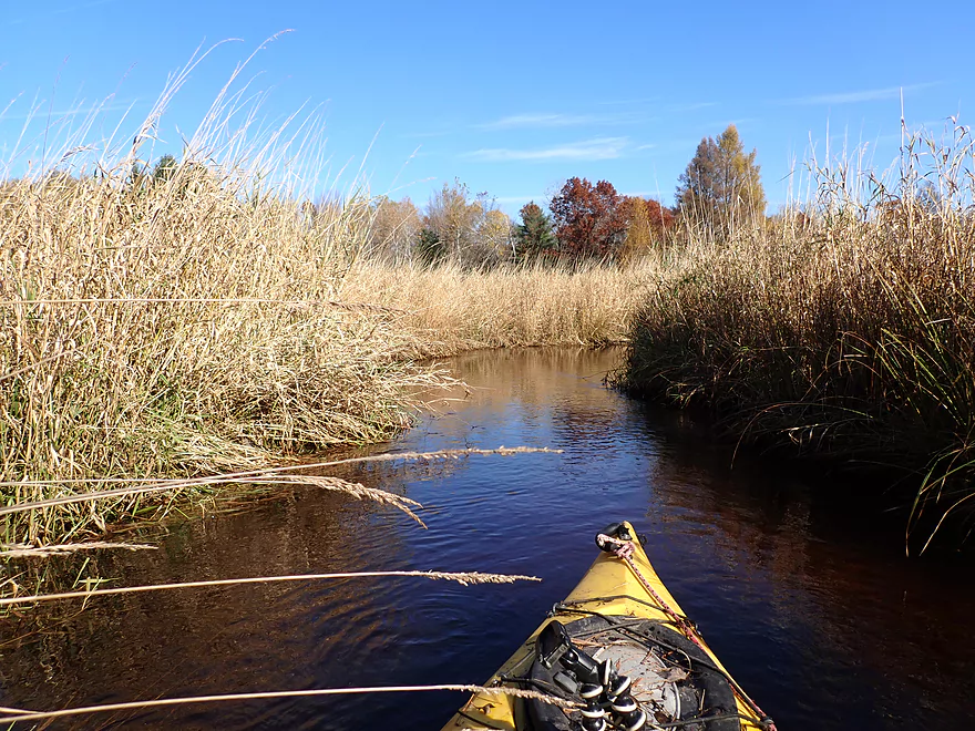
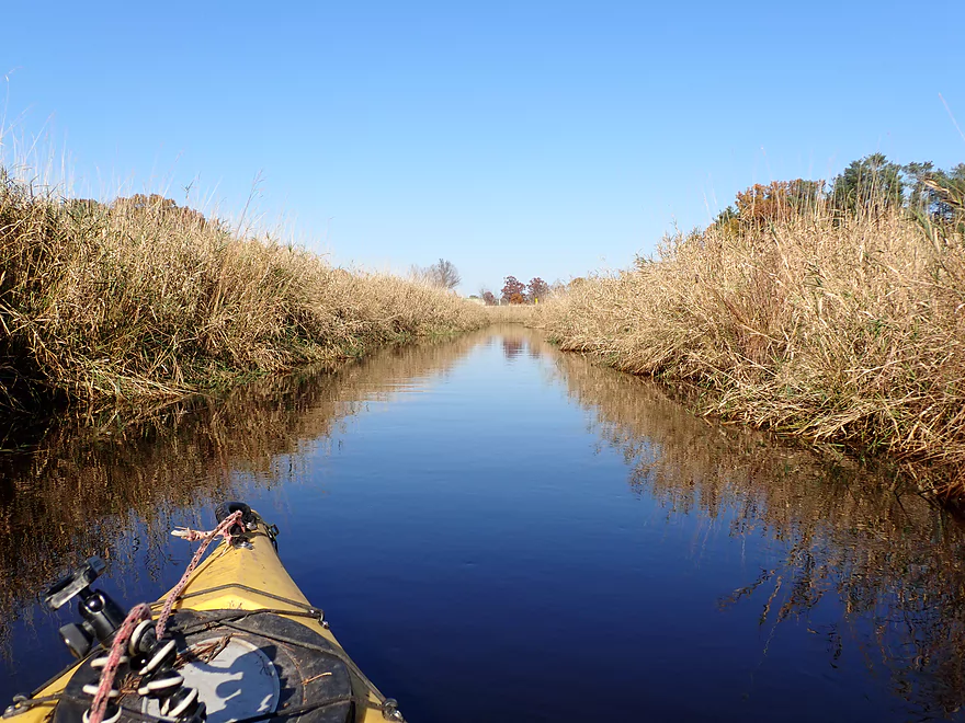
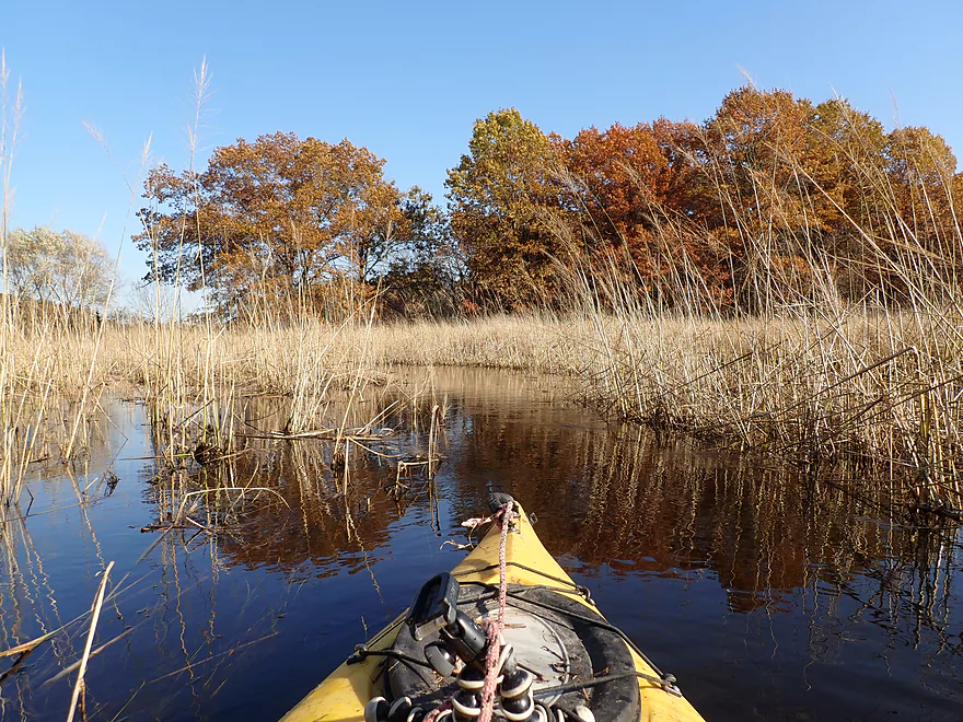
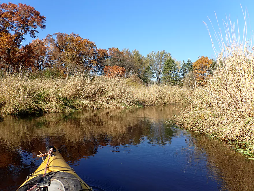
A lot of reed canary grass on this paddle
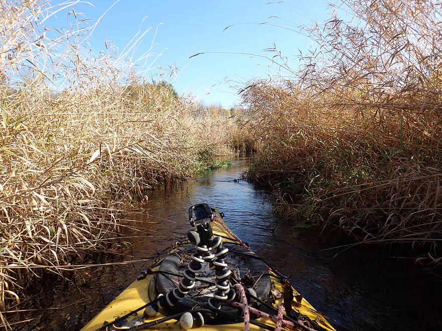
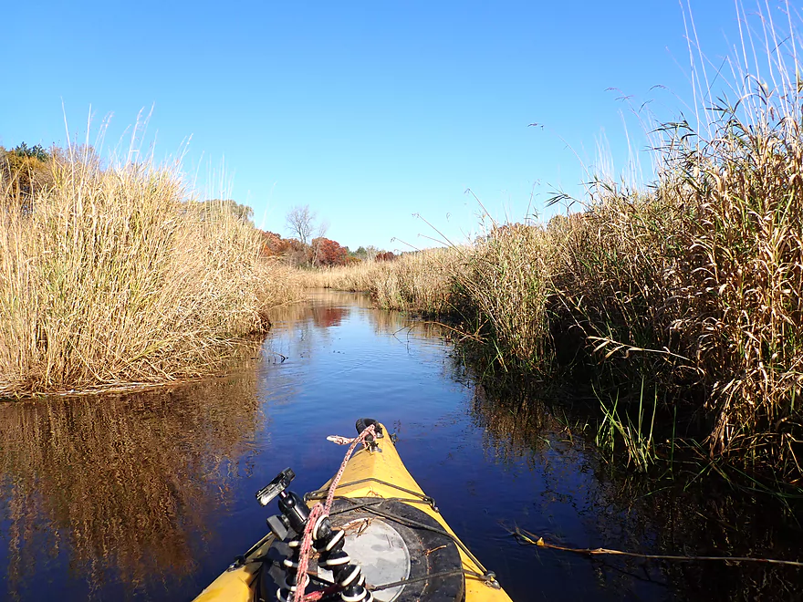
The creek was at times quite narrow
Creek opens up a bit…no more alders
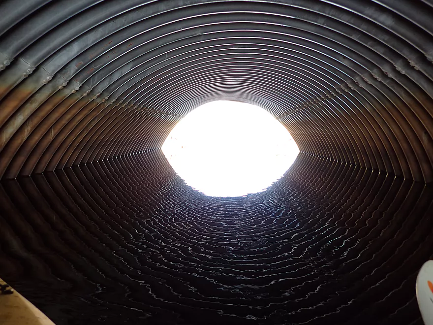
I’m not fitting under Soda Road
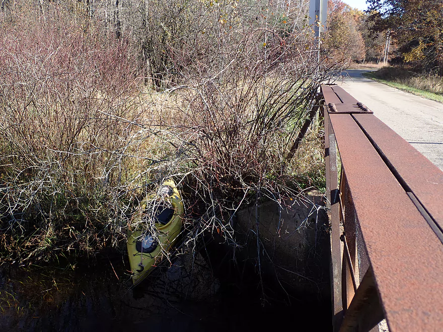
It’s an easy portage
And scenic
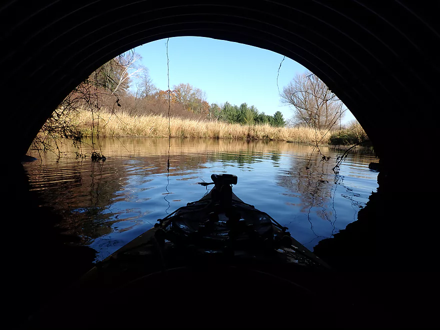
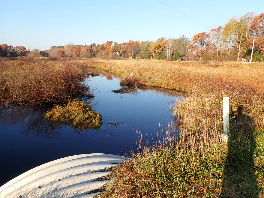
Downstream re-entry
View from the bridge
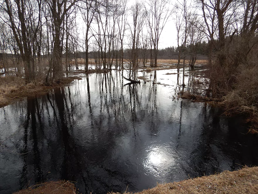
Same view, taken March 30th
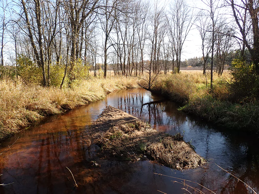
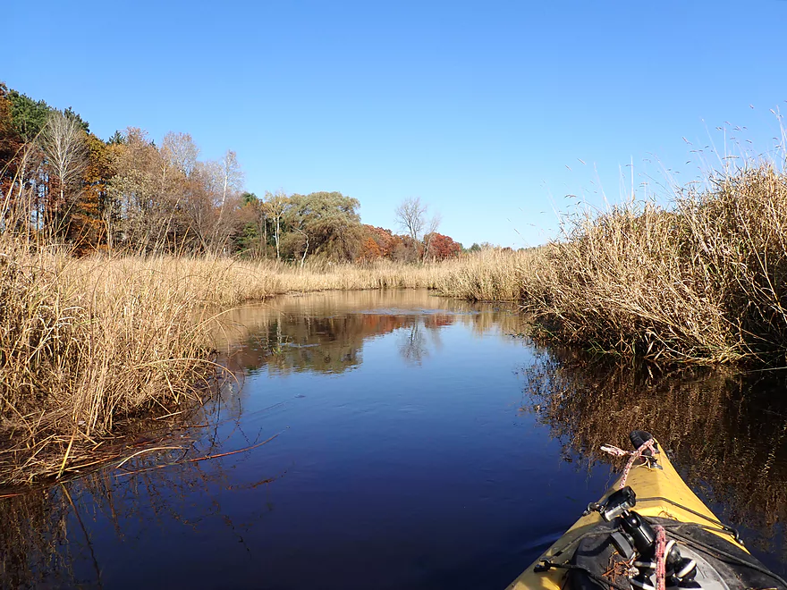
Great part of the creek
This section has been artificially straightened
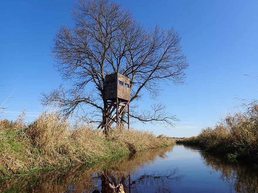
Nice juxtaposition of the blind and the tree
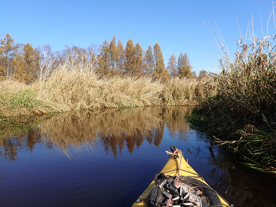
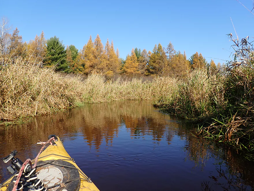
The first of the tamaracks
The only Wisconsin conifer to turn color
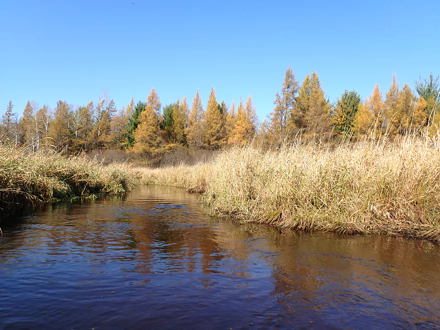
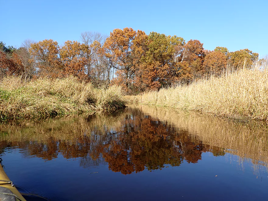
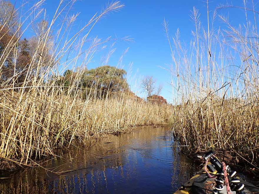
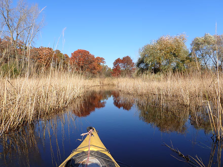
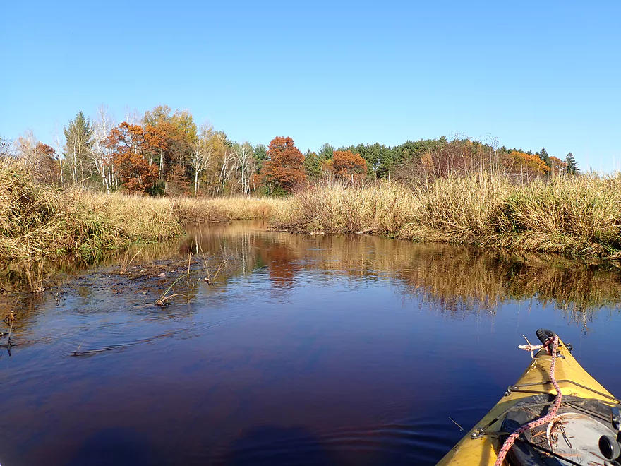
Tall grass protects the surface from wind, providing great reflections
More low bridges
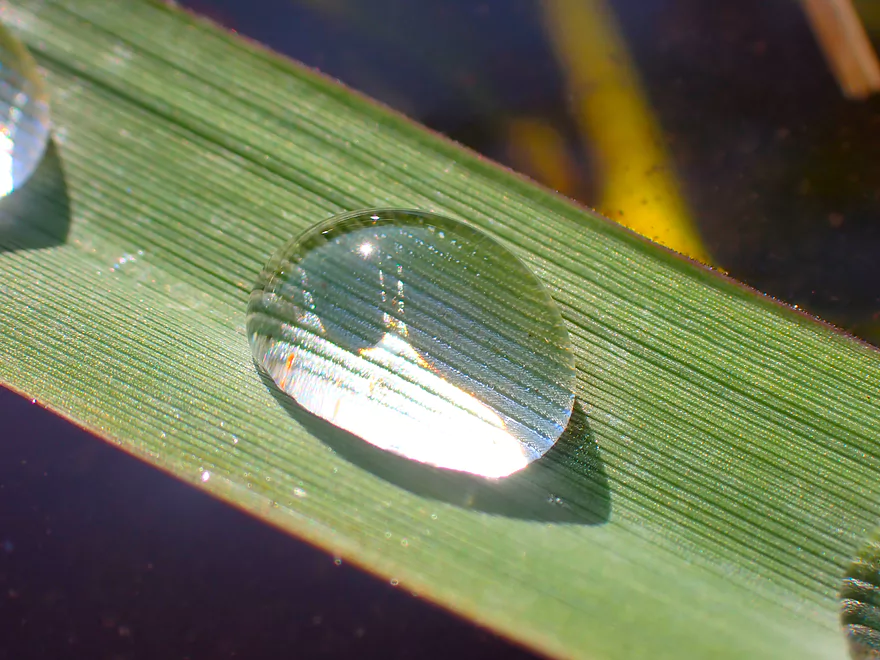
Dewdrop floating on the water
Some pines break the wetgrass monotony
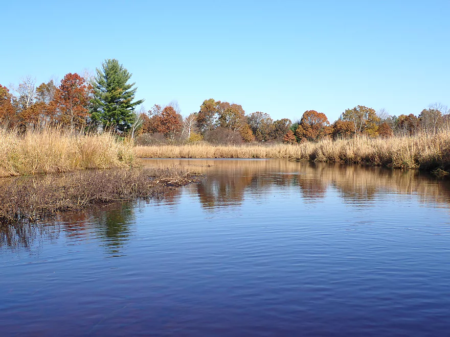
Nice reflecting pool
One of the larger snowmobile bridges
Blue skies create a nice color gradient
Some more fall color
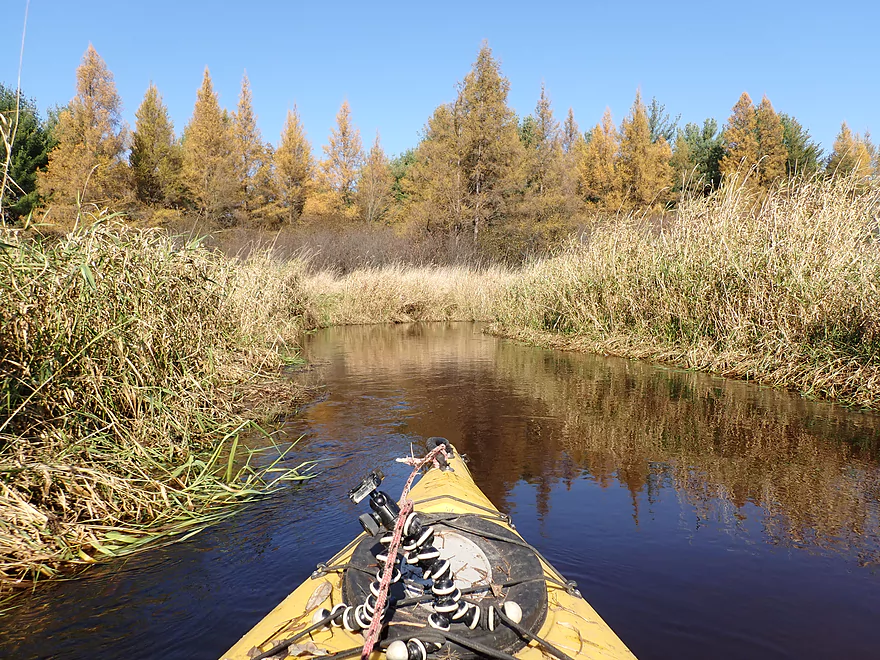
The tamaracks were great
Finally, a bridge I can easily fit under
Some late-turning oaks
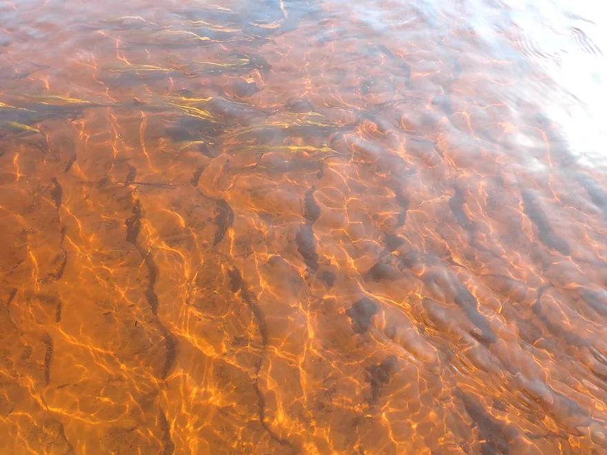
Very sandy bottom
Creek starts to get much bigger
Taking a picture quick before my wake destroys the reflection
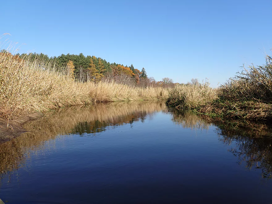
A rare straight stretch
Another neat scene
Hwy 73
Reverse view from bridge
Downstream view from bridge
Water was mostly black but did have a red hue in spots
Kind of reminded me of Neenah Creek
Entering a wild rice field
Part of a very small impoundment
Wild rice constricting the channel
But always a way through
Very scenic
A low bridge
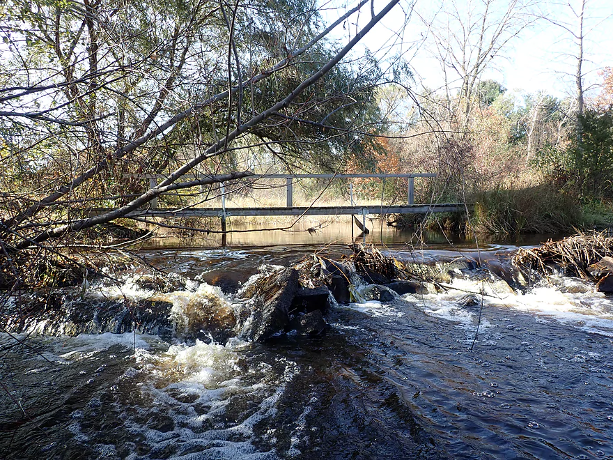
Followed by a small dam
More trees in the final mile
Favorite part of the trip
Creek is much larger now
Coming up on the take-out (and my car)
A neat reflection…but was cooler before my wake hit it
Paddling through the football
I should have kept paddling to the next bridge
But instead ended the trip here at Hwy Y
Final downstream view from the bridge
One last look upstream
Black Creek

Black Creek is a small tributary to the Fox River located just north of Princeton. It’s a somewhat obscure prospect sandwiched between the Mecan and White Rivers, and I wouldn’t be surprised if no one has ever paddled it before. When map scouting the creek I was intrigued by what appeared to be a mostly unobstructed channel and lack of logjams. I scouted it in person in late March but found it partly flooded and in no shape for paddling. I kept it on my to-do list though and finally got around to paddling it for what would be my final trip of the year.
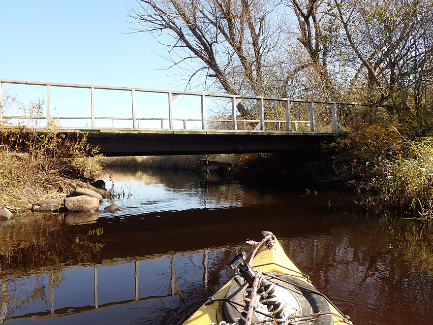
Black Creek is not super long, but there were several put-in options to choose from. I chose Eagle Road which is the furthest upstream you can launch. The scene here was very nice with a rustic one-lane bridge and a thicket of alders.
The first quarter mile of the trip though was the most challenging. The creek was quite small with countless hairpin turns. Sometimes I wanted to turn around for pictures, but couldn’t because my 10′ boat physically wouldn’t rotate past the bank. On top of this, alder branches often hung low over the creek to create an “alder gauntlet” that had to be plowed through.
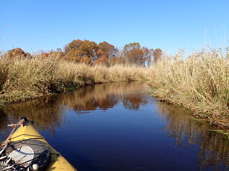
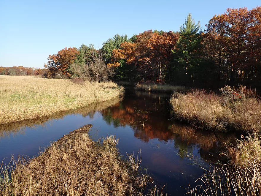
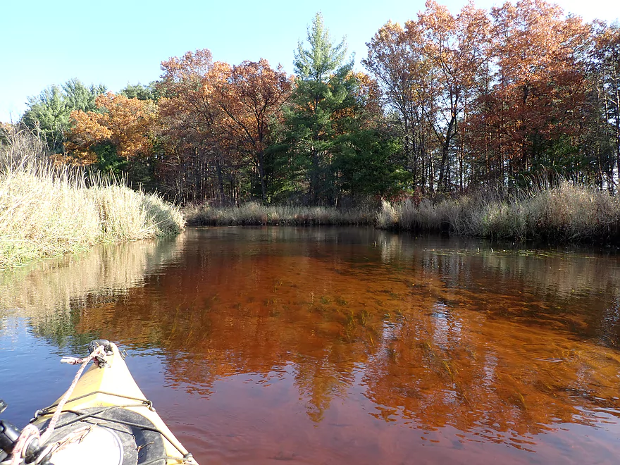
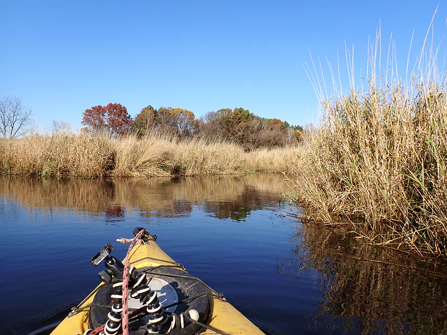
Soon the creek broadened and lost its infernal alders. From here on, it was mostly an open marsh paddle which meandered through tall walls of reed canary grass…very reminiscent of the White River. It wasn’t all grass though as there were occasional pine groves along the west bank (kind of like the Mecan). The creek itself was quite black true to its namesake, but was clean and had a nice sandy bottom. The scenery was ok for a marsh paddle, but a bit repetitive.
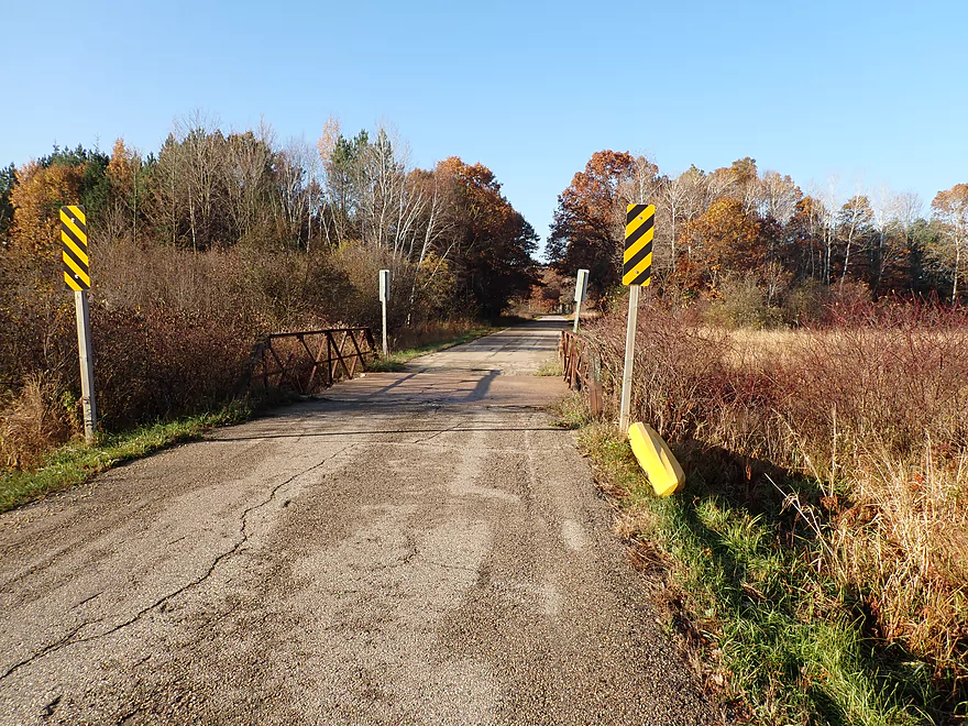
While I never had to portage a logjam, a number of low bridges did require portages (about 7 total). Many of the bridges were in poor shape and in disrepair…likely abandoned snowmobile routes. The banks were pretty flat, so portaging wasn’t a big deal. The lowest bridge ironically was a road bridge (Soda Road) which had a mere few inches of clearance. That too was an easy (and photogenic) portage. In fact I recommend starting the trip here to avoid the alder gauntlet on the upstream leg.
Following Soda Road, the creek unexpectedly flowed straight for a time, as it appeared the entire channel had been artificially moved south. Normally I don’t care for creek alterations, but this was a nice reprieve from all the twists and turns. Also the longer channel allowed for some scenic reflections and color gradients on the smooth water.
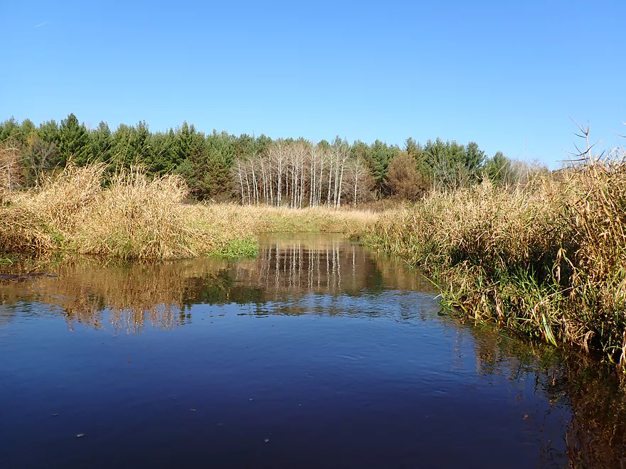
While again this was mostly a marsh paddle, there were scenic groves of pines, oaks and tamaracks recessed a few hundred yards from the banks. Tamaracks are remarkable trees that grow mostly in boggy areas. Supposedly their wood is impervious to rot and they are the only conifer in Wisconsin to lose their “leaves” (needles) in autumn. This paddle was done in late October and considered “past peak” but I was pleasantly surprised to still see a decent amount of fall color. This mostly came from oaks (which turn late) as well as the tamaracks themselves which turn a nice golden hue.
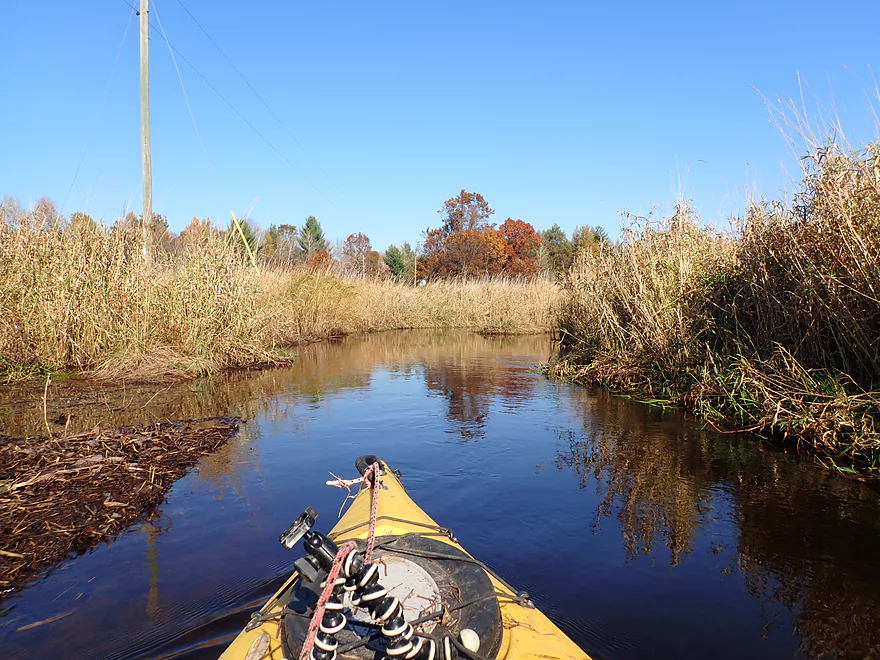
I soon came to Hwy 73 which is a busy road but still a possible access. Just past the bridge was a great scene with pines, turning oaks, and clear water. There is a neat street view image here which was part of the reason I initially became interested in the creek. The final mile of the trip was my favorite as it was more varied, wooded and scenic. I encountered a large wild rice field here which was photogenic and a nice change from all the weed paddling I had done. I believe the rice was artificially seeded by locals as the field preceded a small one-foot rock dam. I ended the trip at Hwy Y, which worked well for an egress.
In summary, this was a trip I enjoyed but wish I had done it differently in hindsight. Launching at Eagle Road (instead of Soda Road) would have been better to avoid the alder gauntlet. Roughly speaking the creek got progressively more interesting the further downstream I went. To that end, I should have taken out one bridge later (Black Creek Road) which seemed like an intriguing stretch (but could have debris and one logjam).
The trip’s highlights were its clean water, great fall color, tamaracks, wild rice, and ripple-free surfaces that created beautiful reflections. But it wasn’t an elite paddling prospect. If you are an out-of-area paddler looking for an adventure in the Princeton area, you’ll be better off with the Mecan or White rivers. But if you’re a local or one that prefers unorthodox paddles, you very well may enjoy Black Creek.
I started the trip at Eagle Road where there was a narrow one-lane bridge. Parking was very tight, but doable along the northeast corner. It’s not super difficult to reach the water, but you will have to dodge some alder branches.
Most paddlers will likely want to skip the first mile as it was too small and twisty, and instead launch at Soda Road. This would be a good launch option with superior shoulder parking (but still a bit tight). Note there is a “No Trespassing” sign in the marsh, so you’ll want to stay close to the bridge and the DOT right-of-way.
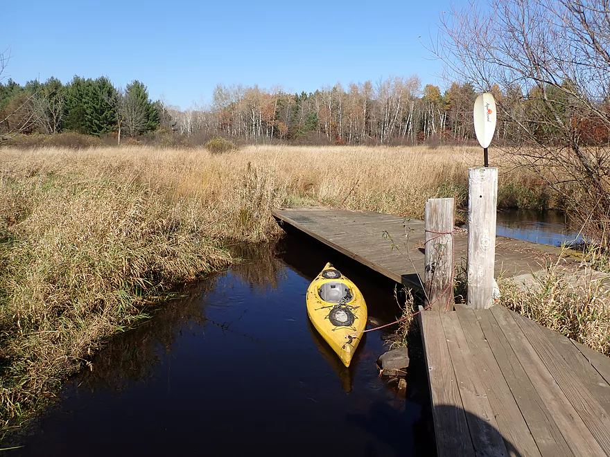
Hwy Y was a decent access with small but adequate shoulder parking. The banks were a bit weedy, but it’s all manageable for a relatively easy bridge access.
In hindsight I wish I had extended the trip one additional mile to Black Creek Road. That would be a more wooded section, but appeared kind of nice. It could contain maybe one logjam portage though. Note Black Creek Road has fence on the east side, so if you take out here, you’ll likely want to choose the west bank.
The bike shuttle was really nice…just 2.8 miles, flat, paved, little traffic and scenic. There is an exotic game farm located close to the Eagle Road bridge.
Current: Black Creek moved along at a steady pace, but never very fast.
Logjams: None…kind of a surprise.
Alders: In the first couple hundred yards, low-hanging alder branches can make navigation tricky. In fact they are likely a bit much for most paddlers. A simple solution would be to simply launch downstream at Soda Road. From then on, the creek is practically free of these troublemakers.
Small Size and Tight Turns: The channel (especially in the first mile) is very small and often less than 10′ wide. This is not a creek for big boats.
Low Bridges: There were a number of low bridges that had to be portaged. These are marked on the map.
- Low Bridge #1: I barely squeaked under, but most would prefer to portage (which wouldn’t be too difficult).
- Low Bridge #2: This is a bit higher than #1, but still short. The portage would be over thick grass or on the bridge itself.
- Low Bridge #3: Soda Road has incredibly small culverts and must be completely portaged…pretty easy.
- Low Bridge #4: A partly submerged bridge completely blocks the channel. Easy portage.
- Low Bridge #5: A small snowmobile bridge. Easy portage.
- Low Bridge #6: A large bridge with a possible fishing pier that is too low to go under. There is not a lot of firm ground for portaging, but it is all doable.
- Low Bridge #7: A low bridge followed by a small rocky ledge. Easy portage.
Dams: There is a small one-foot rock dam near the end of the trip that was easy to hop over. This would be easy to portage if preferred.
On March 30th I scouted Black Creek when it was flooded. Using this as a baseline, I checked a number of nearby gauges but most didn’t correlate this. The best analogue I could find was the Waupaca River but it is still not completely representative.
- 0-150 CFS: Shallow and perhaps a tad mucky in a few spots but likely mostly navigable. Clarity should be good.
- 151-300 CFS: A good average depth and a good target range.
- 301-450 CFS: This would be a bit on the high side. Clarity won’t be great, and some bridges may have to be portaged, but the channel will be well-defined. I did the trip at 375 CFS.
- 451-600 CFS: A very high depth with the creek probably at flood stage. This would be more of a lake paddle than a creek paddle. I scouted the creek when its banks had burst on March 30th (560 CFS).
- 601+ CFS: Extremely high depths. Area roads will likely be closed due to flooding (as they were this spring).
- Upstream of Eagle Road: The creek appears to be too small for navigation.
- Eagle Road to Hwy Y: 5.2 miles.
- Eagle Road to Soda Road: 1.0 miles. A very small and twisty channel. Low-hanging alder branches are a big nuisance in the first couple hundred yards. Two low bridges will need portaging. This segment while navigable is likely too small for most paddlers.
- Soda Road to Hwy 73: 3.2 miles. A solid paddle but a little repetitive with a lot grass. The highlights are the scenic tamaracks. There are a few low bridges to portage (easy).
- Hwy 73 to Hwy Y: 1.0 miles. While still mostly a marsh, this is more wooded than the other sections and was very scenic. The highlight was the wild rice. There is one low bridge to portage (easy).
- Hwy Y to Black Creek Road: 0.9 miles. An intriguing prospect I wish I had done. This becomes much more wooded and there might be a logjam portage to deal with.
- Access Note for Hwy Y: The Hwy Y culvert lies under a large embankment that is open and lacking in privacy. The east side is partly blocked by a fence, and you may want to use the west side.
- Black Creek Road to Hwy D: 2.2 miles. An interesting prospect, but this would likely require 4-5 logjam portages.
- Hwy D to Mouth on Fox River: 0.8 miles. Kind of a bottomland mess. Perhaps 6-8 logjam portages.
- Mouth to White River Road: 0.4 miles. A short generic paddle on the Fox River before you can take out on the White River Road shoulder.
For other take-out options see my Fox River Overview Map.
And so concludes the 2019 paddling season. Thanks to everyone that followed this blog on a weekly basis. Special thanks to those who contributed feedback on social media. And extra special thanks to those who provided direct comments on the website. If you missed it, I created a comments page which aggregates all site feedback. There have been a lot of great nuggets submitted and this was a valuable resource for up-to-date paddling information.
2019 was somewhat a year of experiments for this blog. Experiment #1 was to do more cold spring paddles with some new protective clothing I purchased. Honestly this didn’t turn out as well as I expected and I’ll likely stick to warm weather paddles. Paddling in the cold wasn’t so bad, but taking pictures with gloves on was difficult, and the cold windy bike shuttles were brutal.
Experiment #2 was to start a Reddit subforum…but that never achieved the critical mass needed, so I gave up on it. Thankfully experiment #3 in my new Instagram account proved more fruitful. I just posted my first paddling picture a few weeks ago which was well received. Feel free to follow me at https://www.instagram.com/wisconsinrivertrips/ and to use hashtag #wisconsinrivertrips for your own paddling pictures.
Experiment #4 was a new camera which is always a big deal. The pictures you see on the site for the past two years were mostly taken with the Nikon W300. It’s a solid camera and Nikon’s flagship waterproof, but I was looking for something new. I purchased the Olympus TG-6 this July for its good low-light performance, bright crisp images, and excellent macro capabilities. The TG-6 is not better than the W300 in all ways, but unlike the W300 it can handle getting wet….as ironically my W300 fogs up (internally!) when splashed by water. Finally being able to take serious macro pictures on the water has been a lot of fun as most water trails have plenty of interesting little critters and flowers to photo. Honestly I think the TG-6 takes better macro photos than many large DSLR cameras.
I had several water trail goals for 2019, some of which worked out, some of which didn’t. I did want to emphasize southeast Wisconsin for 2019 in contrast to 2018 (which had a SW Wisconsin focus). I had high hopes for more central Wisconsin paddles, some Iowa paddles and even some up-north paddles…but the weather was a nightmare this year. The past four years have been atypically wet and 2019 may have been the worst of all. This made long-term planning for kayak trips very difficult as often it was simply raining in the wrong spot or water levels were too high. On many weekends, the question often wasn’t “where do I want to paddle” but rather “where can I paddle“. This led me to do some somewhat unusual prospects and smaller creeks I otherwise wouldn’t normally do.
One of my goals was to do more “big water paddles”, including much more of the Wisconsin River and multiple Mississippi trips. But these too were often too high. Take the Wisconsin…typically from July to November levels are usually under 10,000 CFS on weekends. This is important for sandbars…yet this year I believe this only happened twice! The Mississippi was also unusually high, and it appears yesteryear’s high water levels are today’s norms. Hopefully in 2020 we’ll have a good drought!
Besides the high water, the 2020 season had a number of other challenges and misadventures. This included my Suburu misbehaving on trips (never buy a Suburu), to my boat leaking on the Crawfish, to Rock Creek’s super portages, and then getting upended by a strainer on the Grant River. But all things considered, it was a nice season. Many of the prospects I chose were complete gambles, yet most turned out surprisingly well.
I’ll see you in 2020.
– Aaron
Trip Map
Overview Map
Video
Photos Size: