
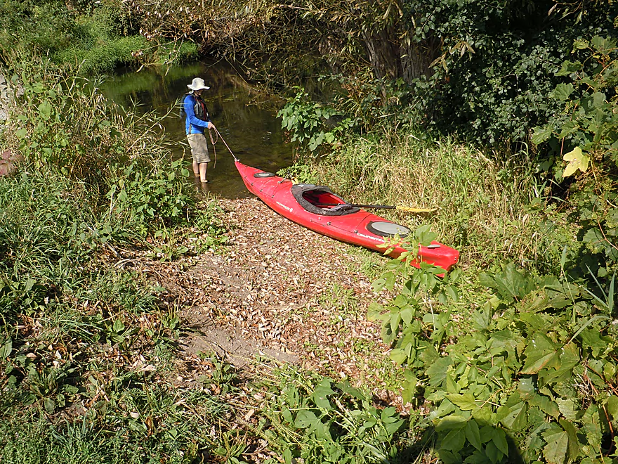
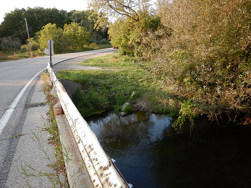
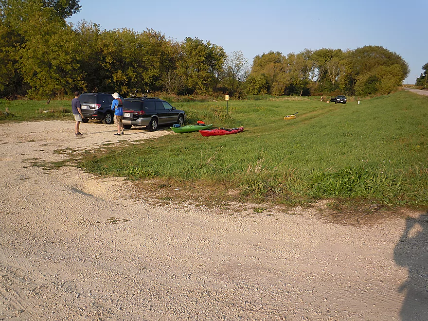
Good put-in at School Section Road
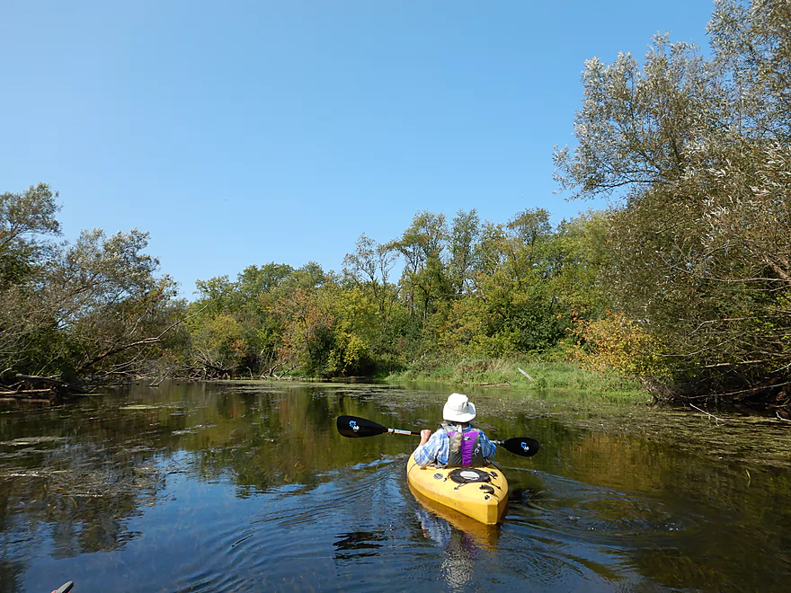
Scenic too
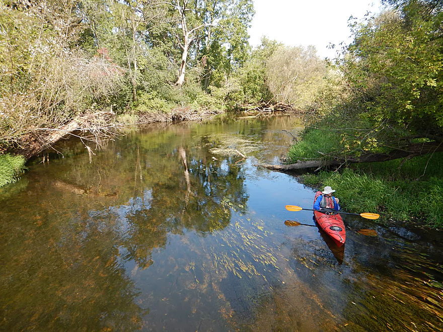
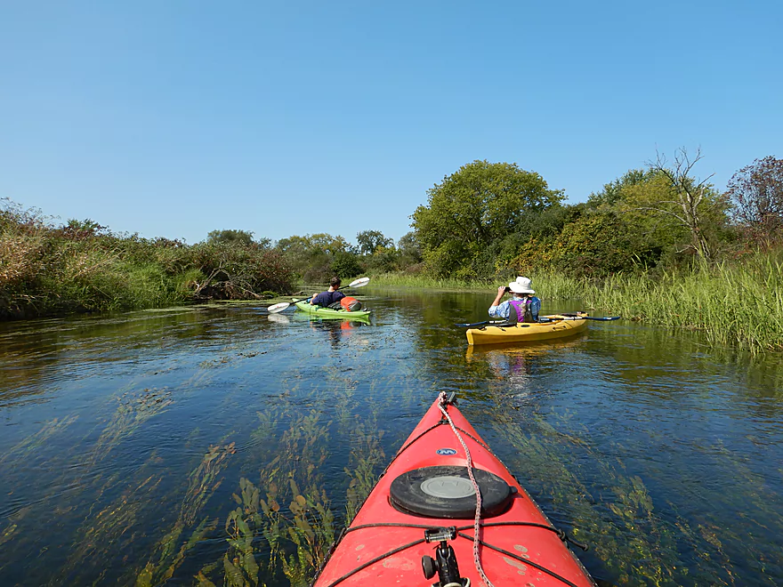
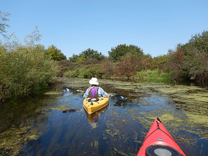
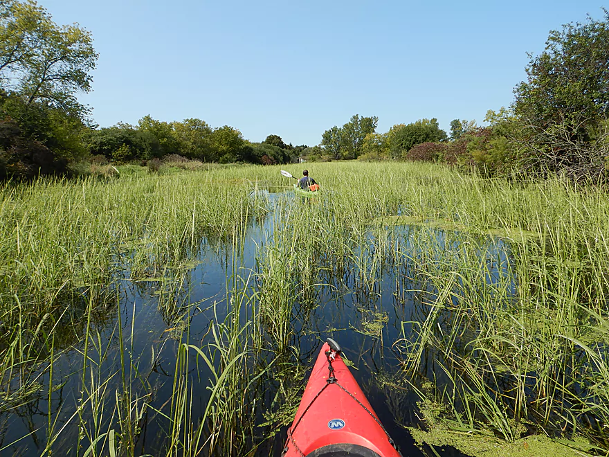
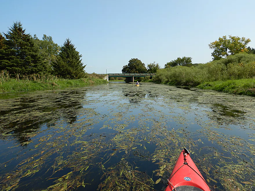
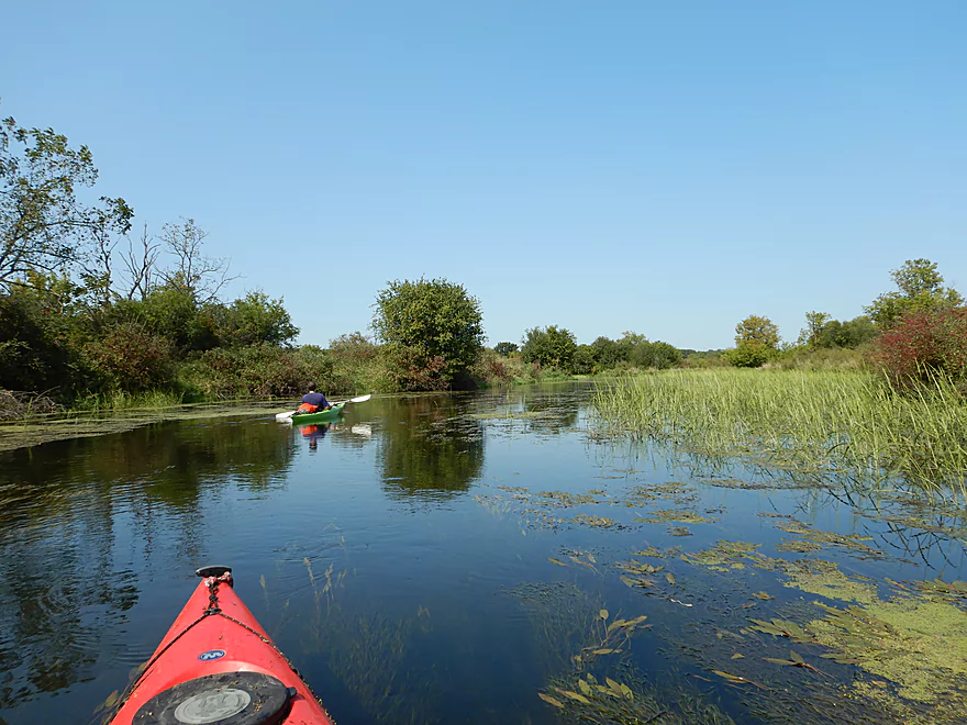
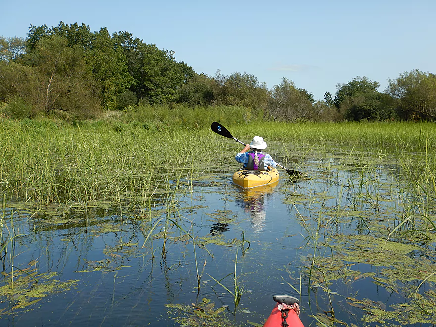
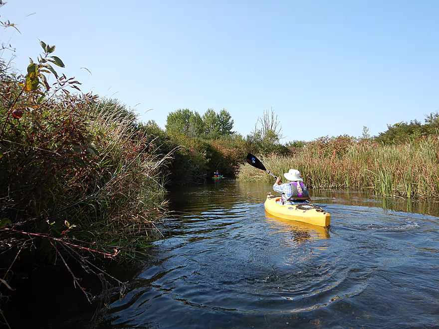
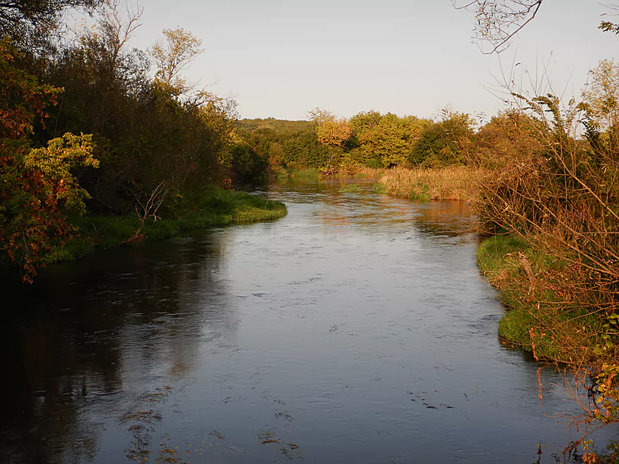
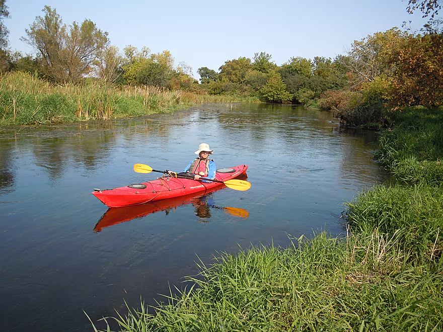
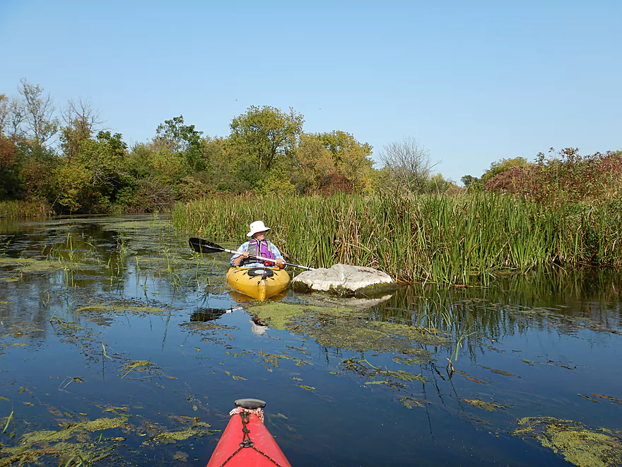
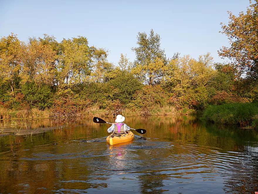
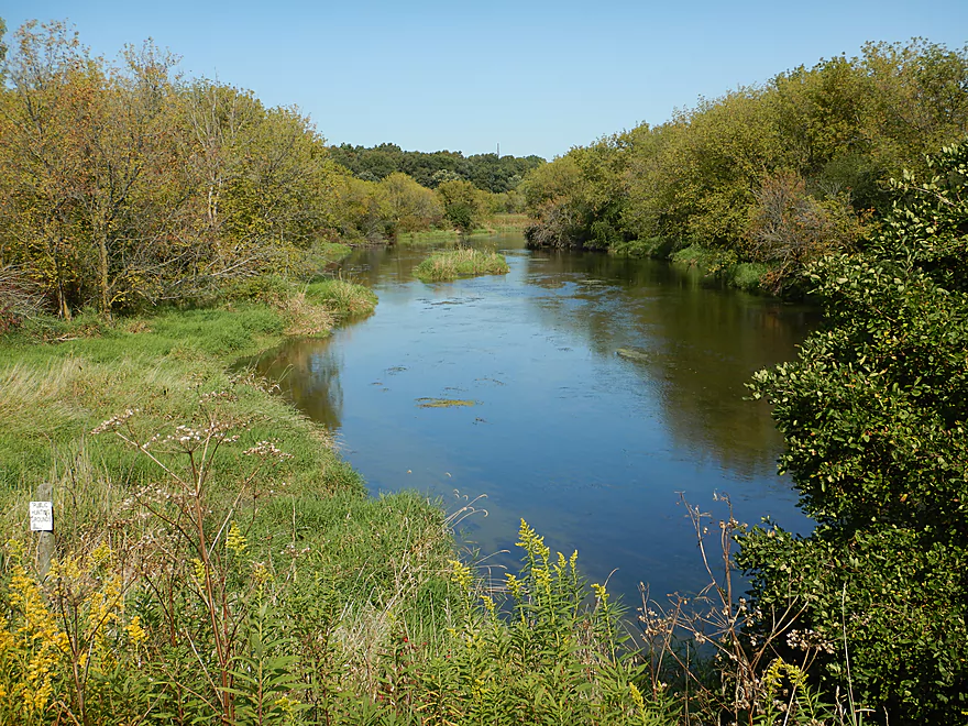
Nice view upstream
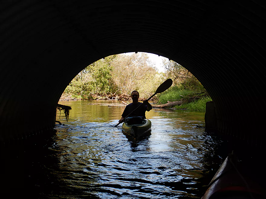
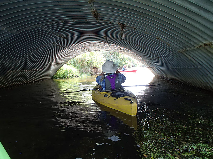
Culverts are always photogenic
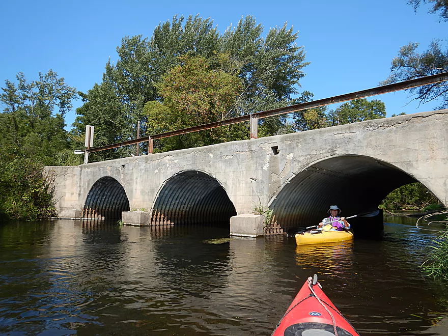
Reverse view
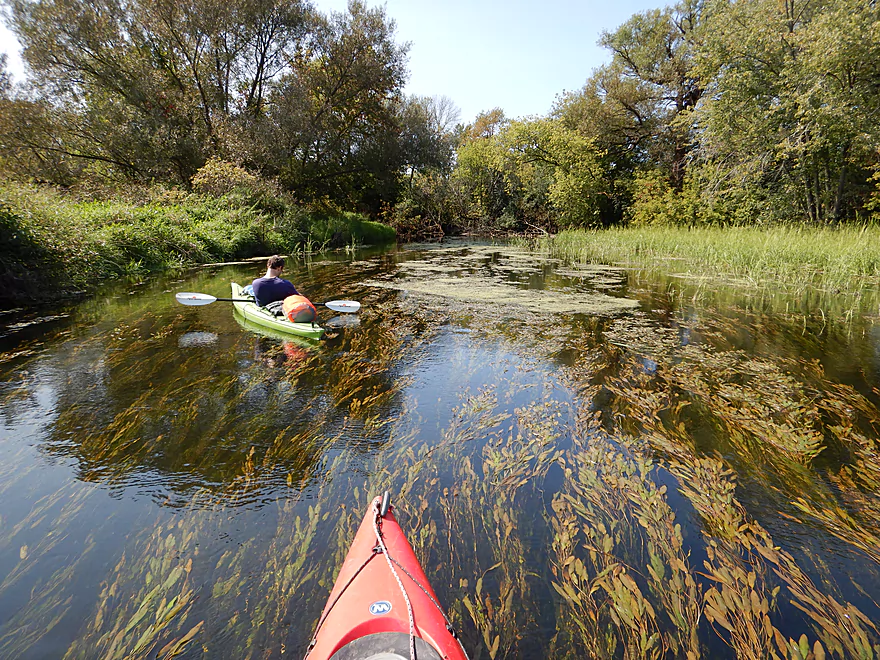
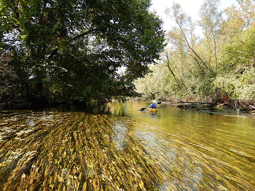
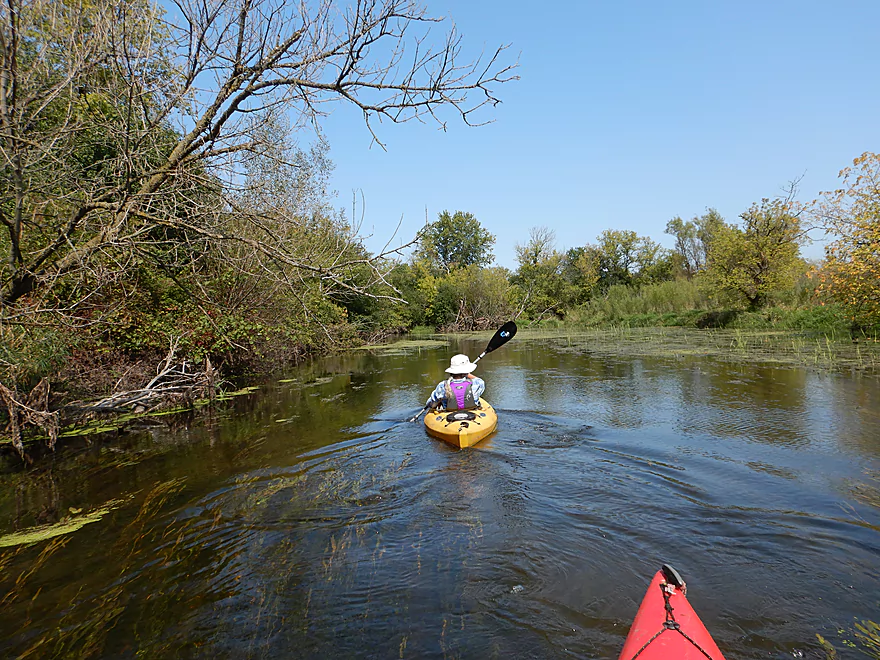
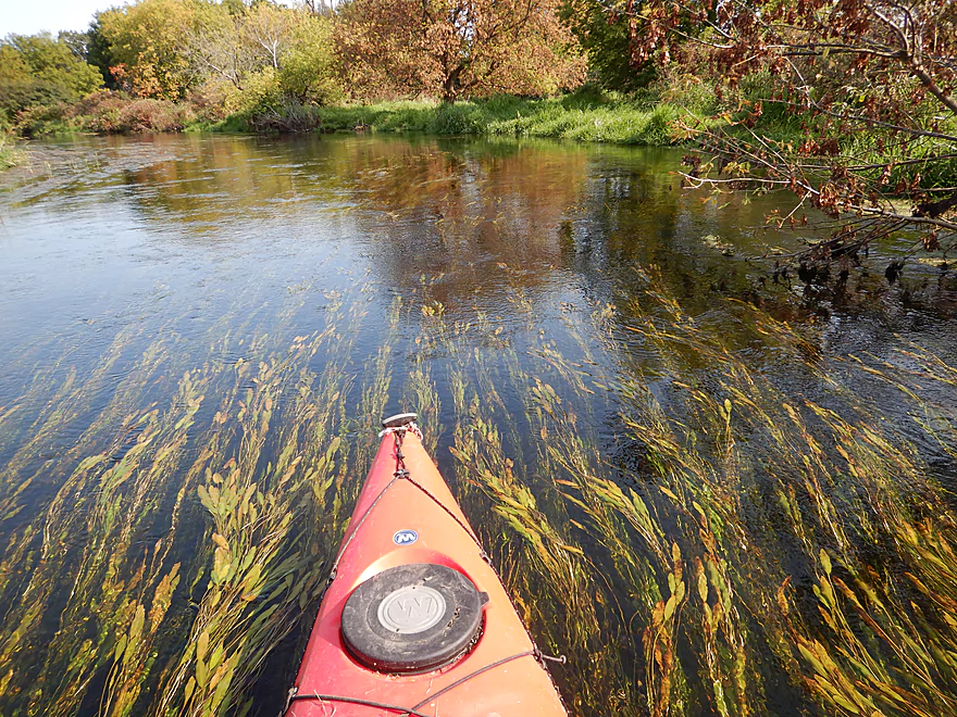
This is a very clear creek
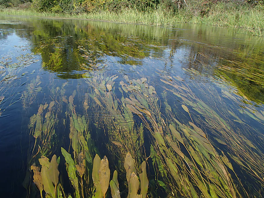
With beautiful pond weeds
Really cool
The first of several wild rice beds
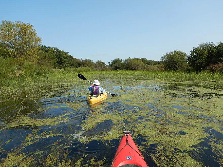
By late fall the creek can accumulate a lot of vegetation
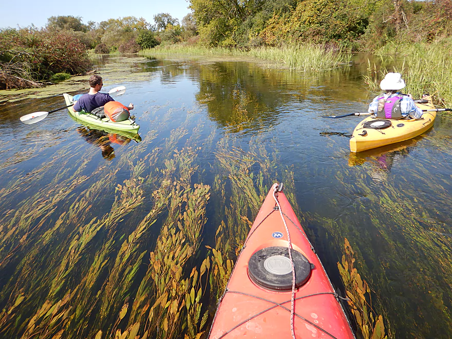
All the pondweeds flowing in the same direction…cool!
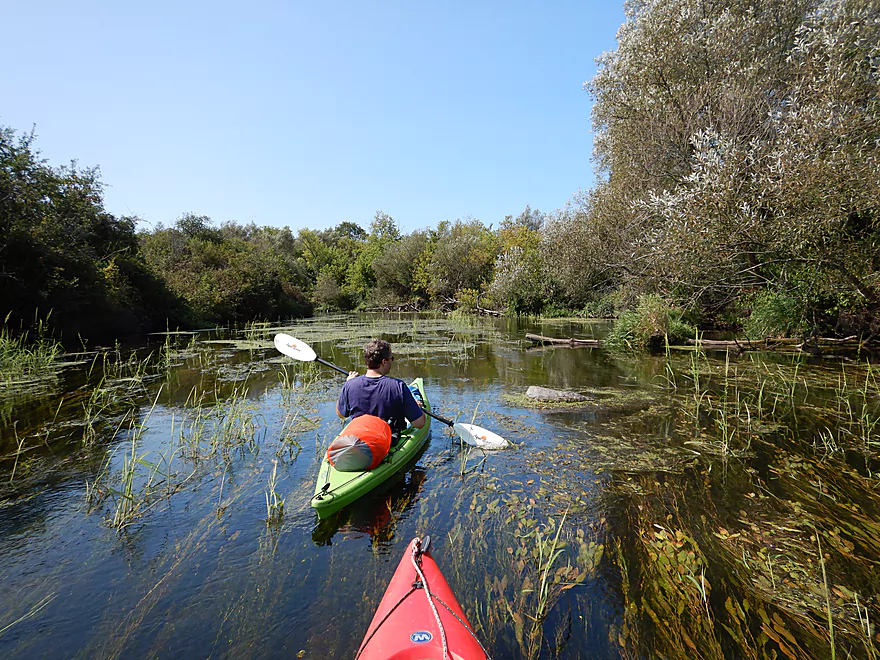
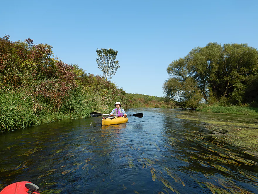
Most of the creek was this clear
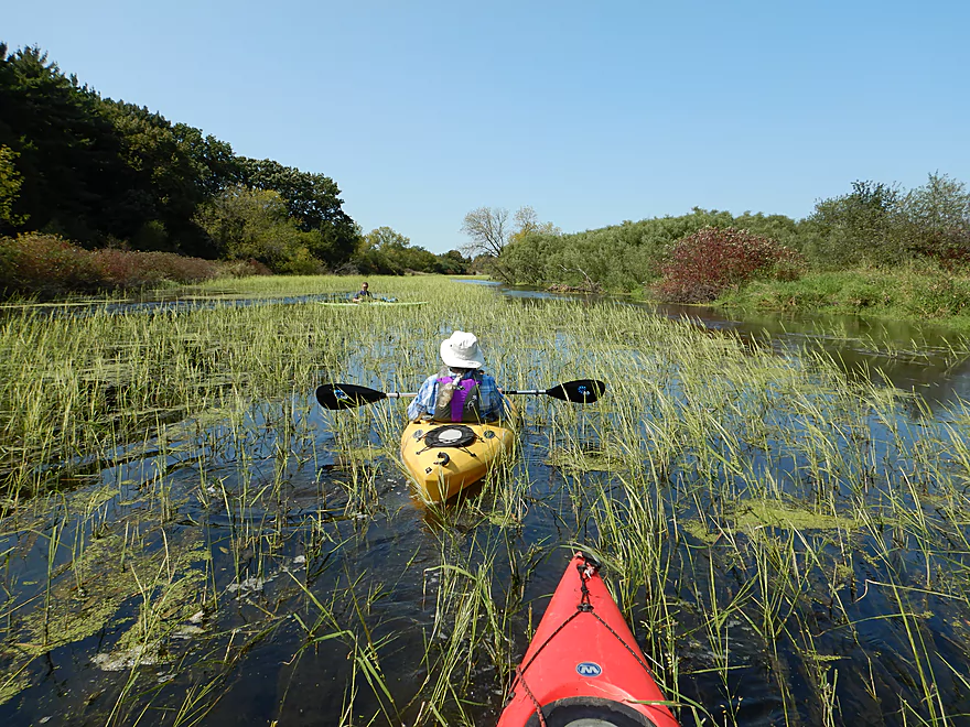
Coming up on the biggest wild rice bed of the trip
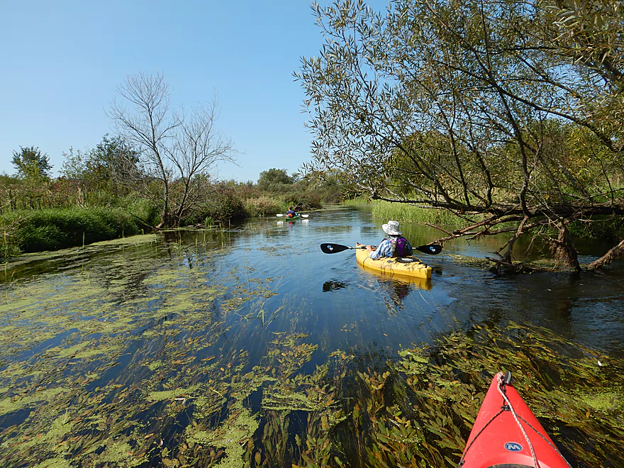
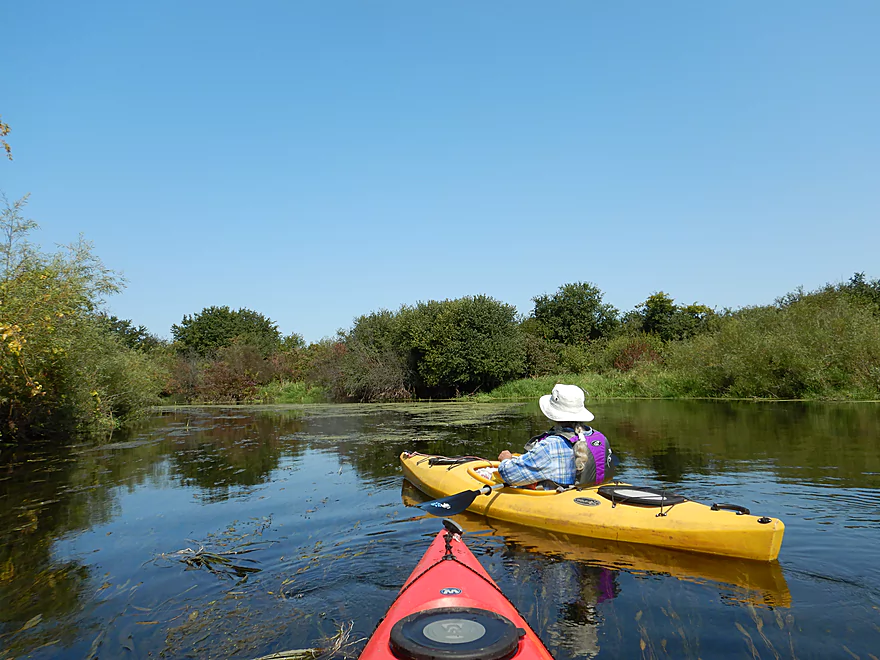
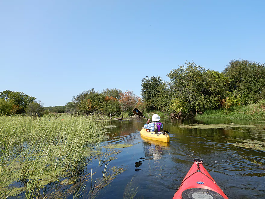
Very scenic
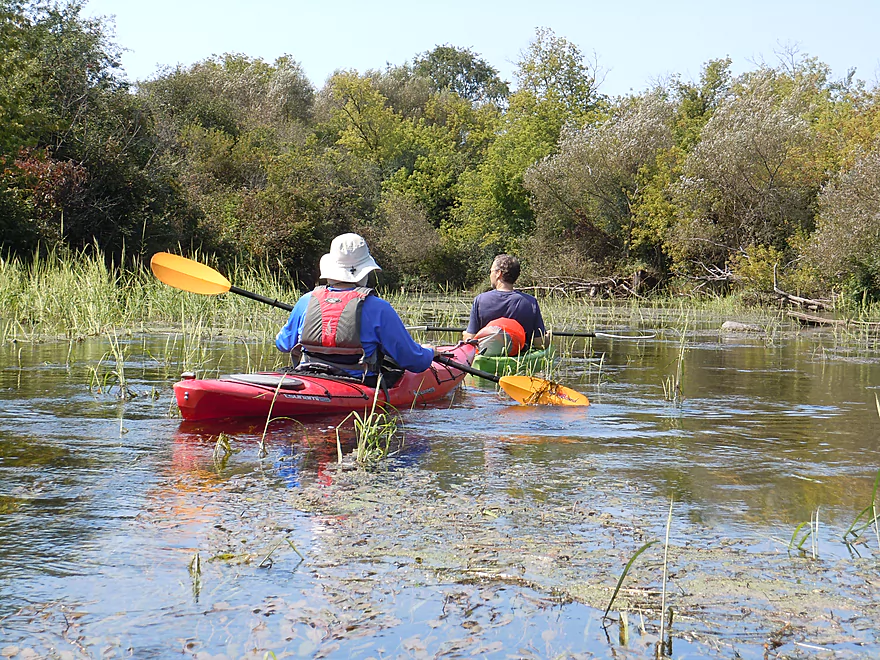
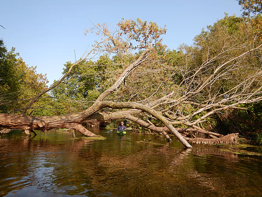
And always a way through
In lower water, it might be trickier though
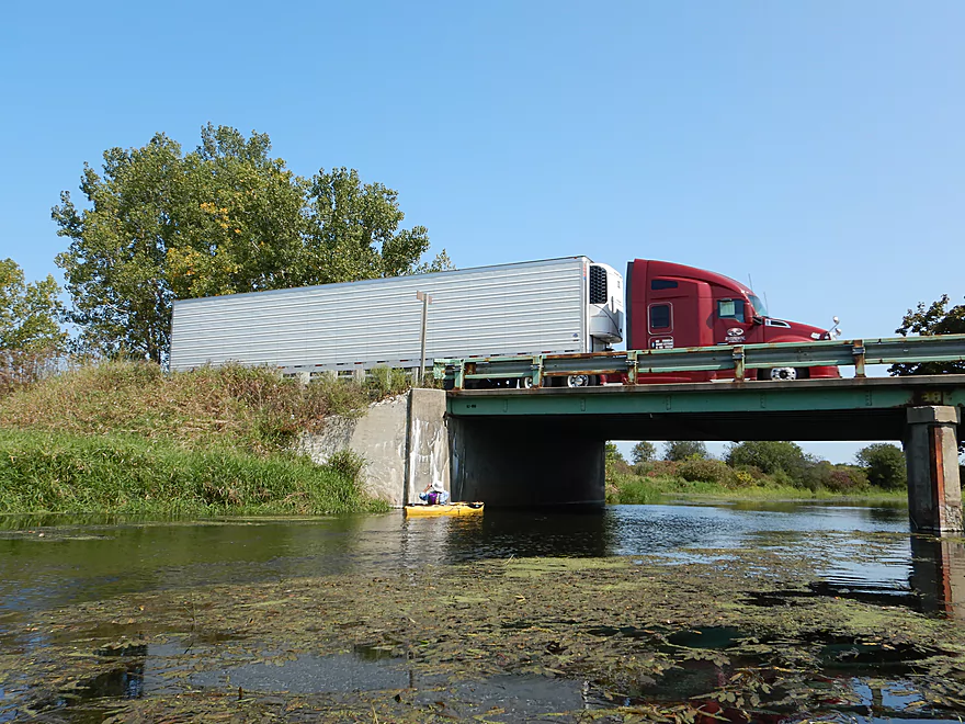
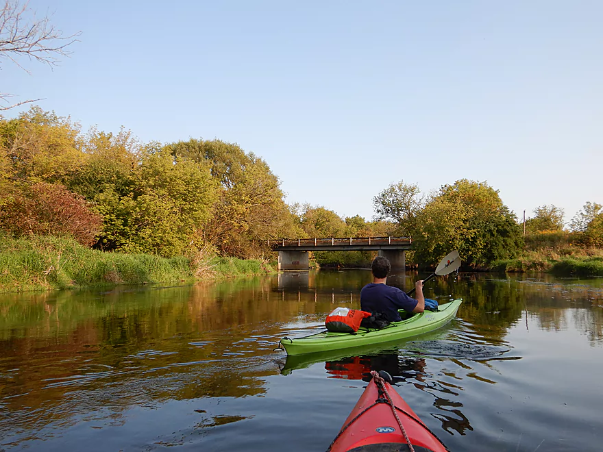
Hwy 14 is a good alternate access option
View upstream from bridge
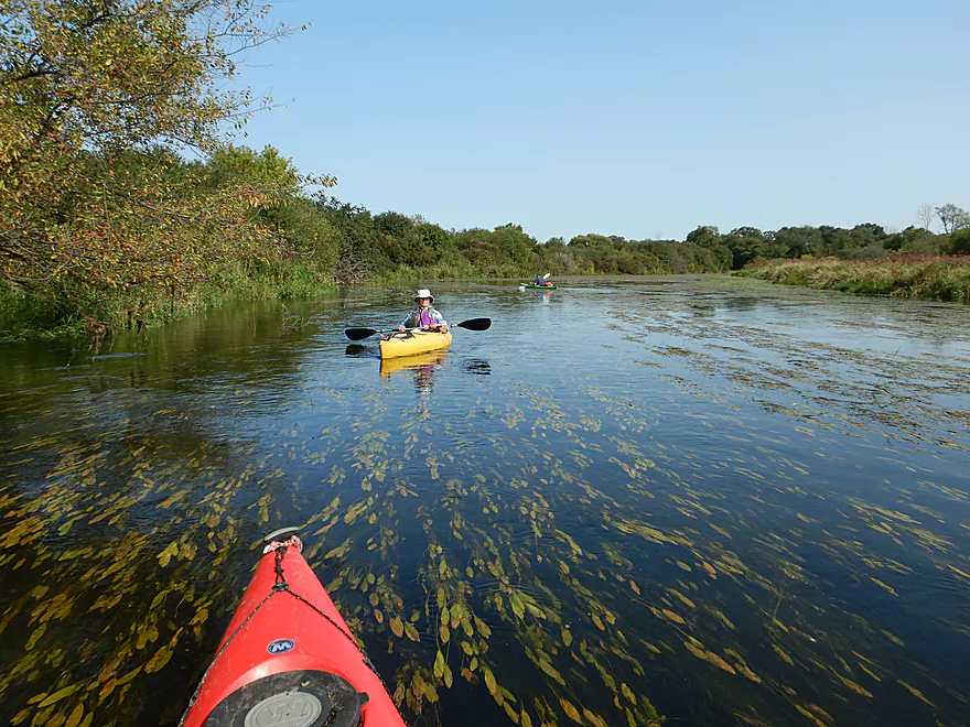
A thick section of pondweeds

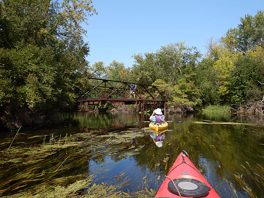
Coming up on a derelict snowmobile bridge
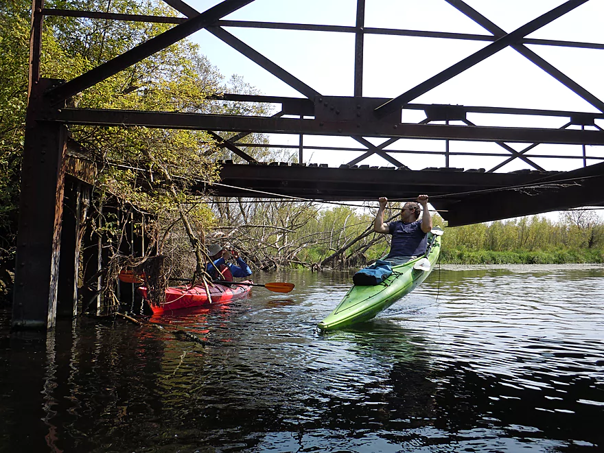
A great spot for kayak pull-ups
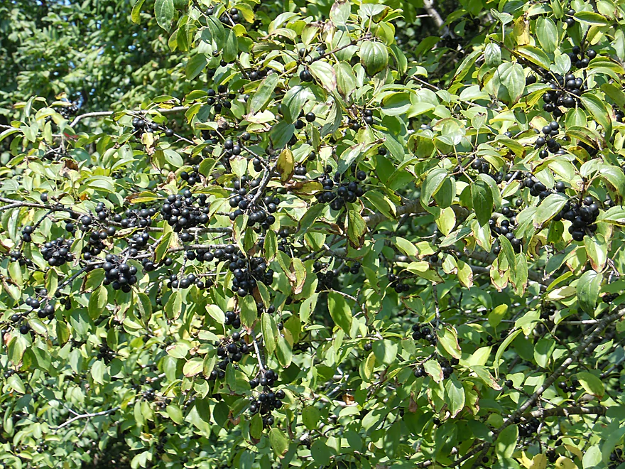
Wild buckthorn berries
Another neat wild rice field
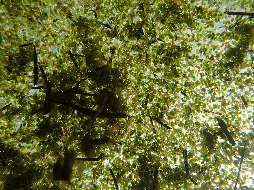
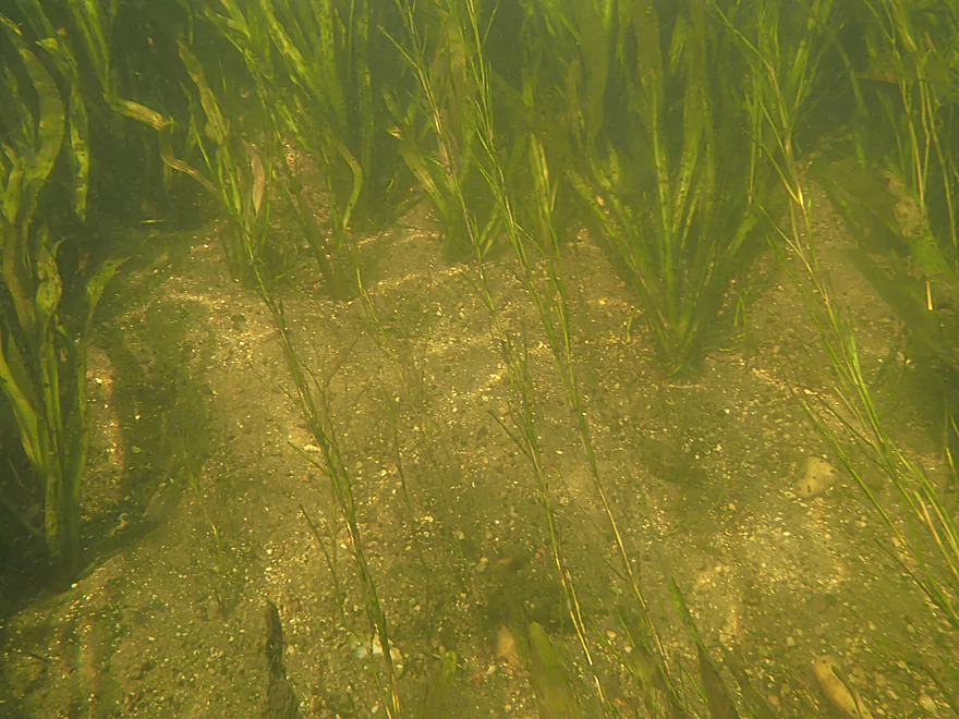
What duckweed looks like from below
Exploring an inlet creek that comes from Trout Lake
More scenic pondweed
Hiding under the weeds
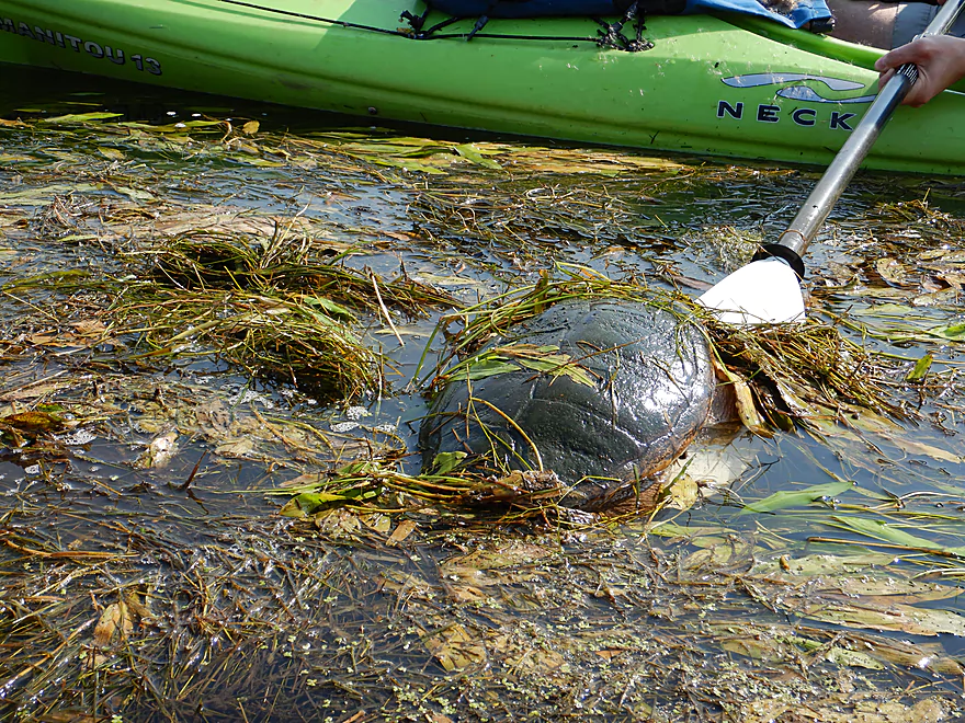
A big snapper
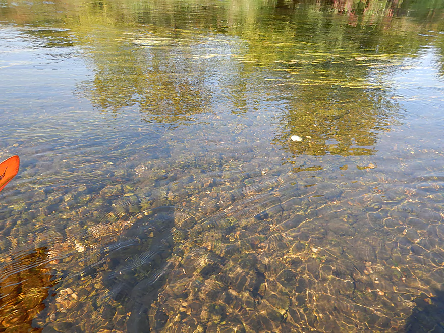
More great clarity
Paddling under Hwy C
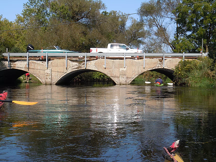
Which seems to be in need of repair
This is also a good access option
View upstream
One of several beaver dams we saw
Logjams were never an issue
A glacial erratic
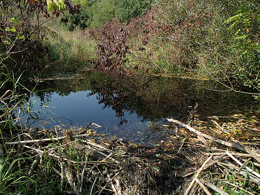
Checking out a really cool spring inlet
Crystal clear water
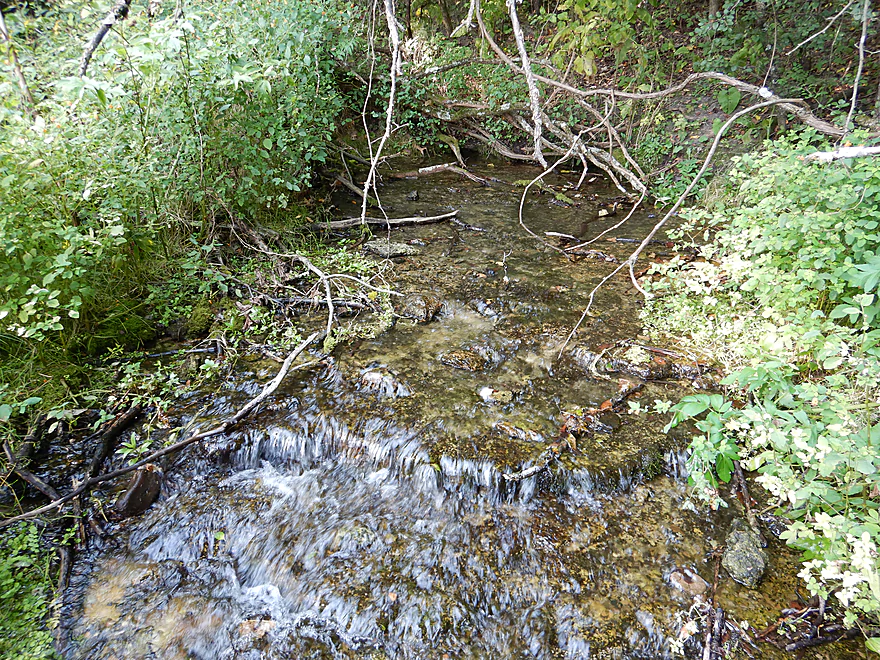
And fed from natural springs

Quite spectacular
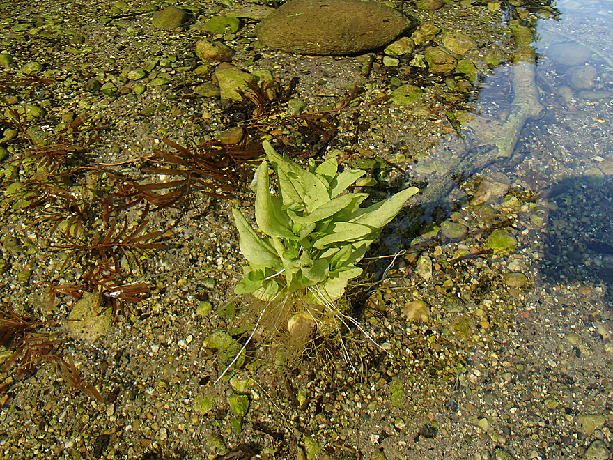
A zen plant (completely under water)
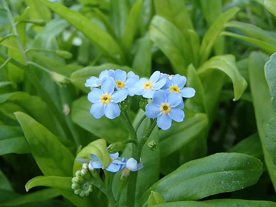
Forget-me-not flowers
Exiting the springs
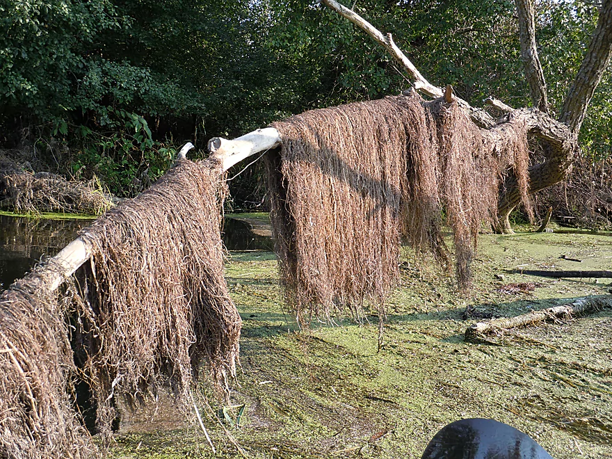
Pondweeds hung out to dry
Some rare cattails
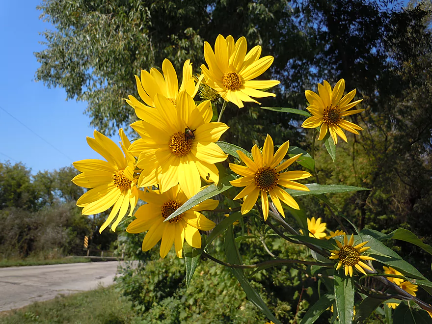
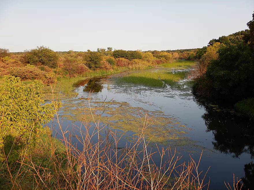
Some very early fall color
Coming up on East Creek Road
Which was our take-out
Good access, but you have to hike a bit to reach parking
View from the take-out bridge
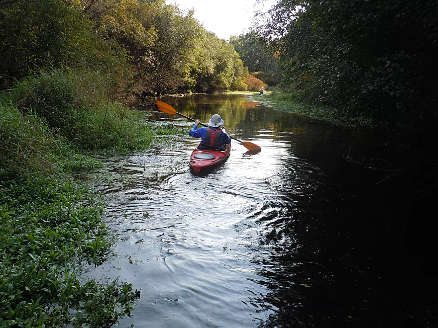
Turtle Creek


Turtle Creek is a popular paddling creek located halfway between Janesville and Lake Geneva. The upper portions consist of spring-fed wetlands and marshes, while the lower portions descend quickly through the Beloit metro area before finally emptying into the Rock River.
One of the highlights of the creek is the Turtle Creek Wildlife Area which is roughly a 10 mile stretch of undeveloped land that runs along the creek (mostly from the city of Delavan to the South O’Riley Bridge). That would have been a long trip, so we settled on a 6.9 mile sub-section stretching from School Section Road to East Creek Road.
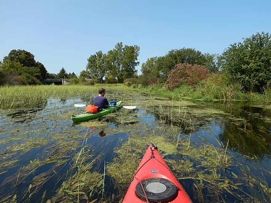
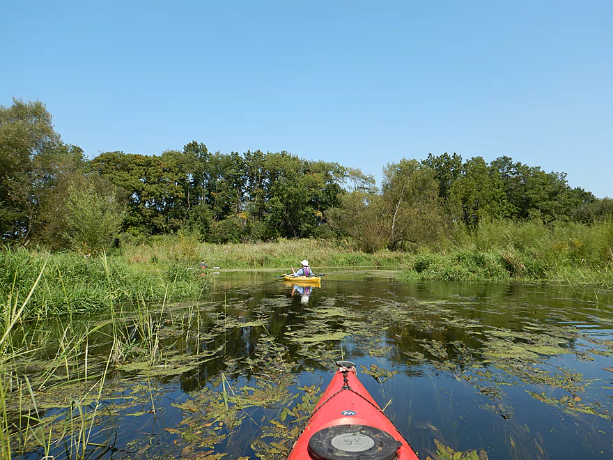
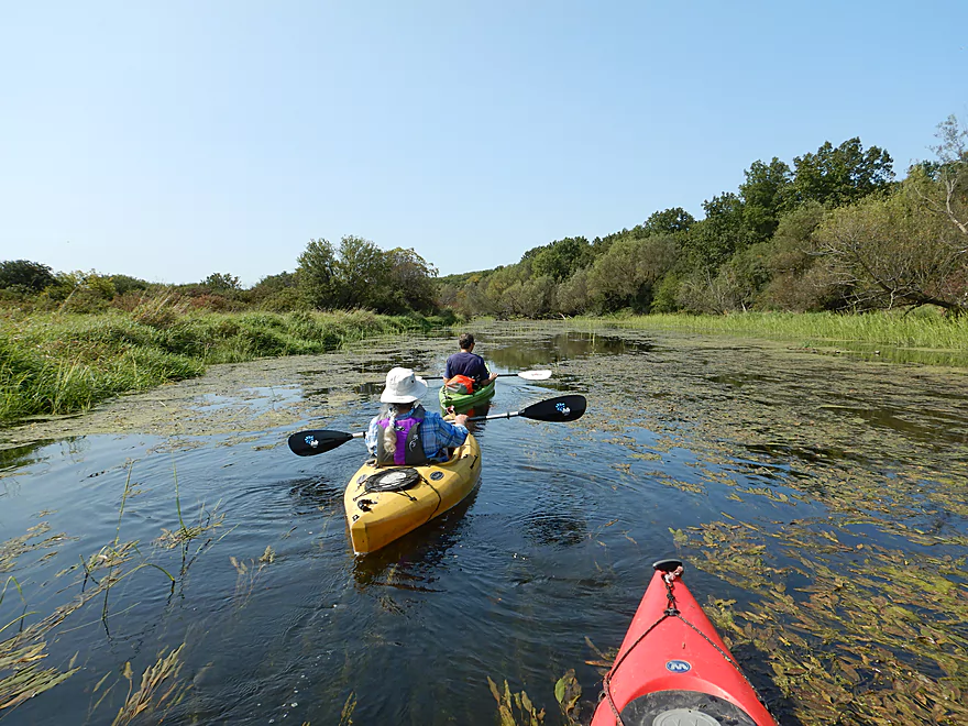
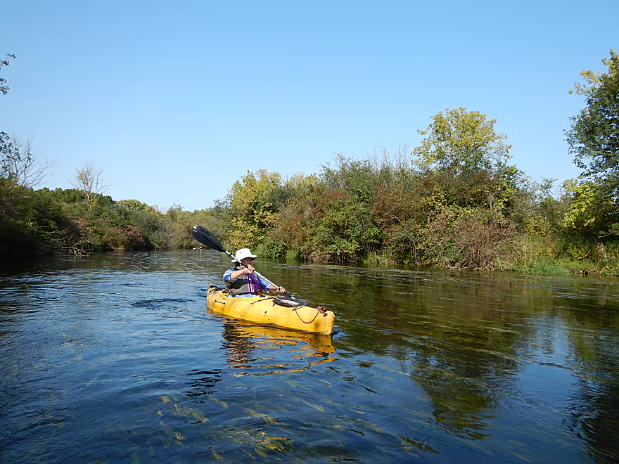
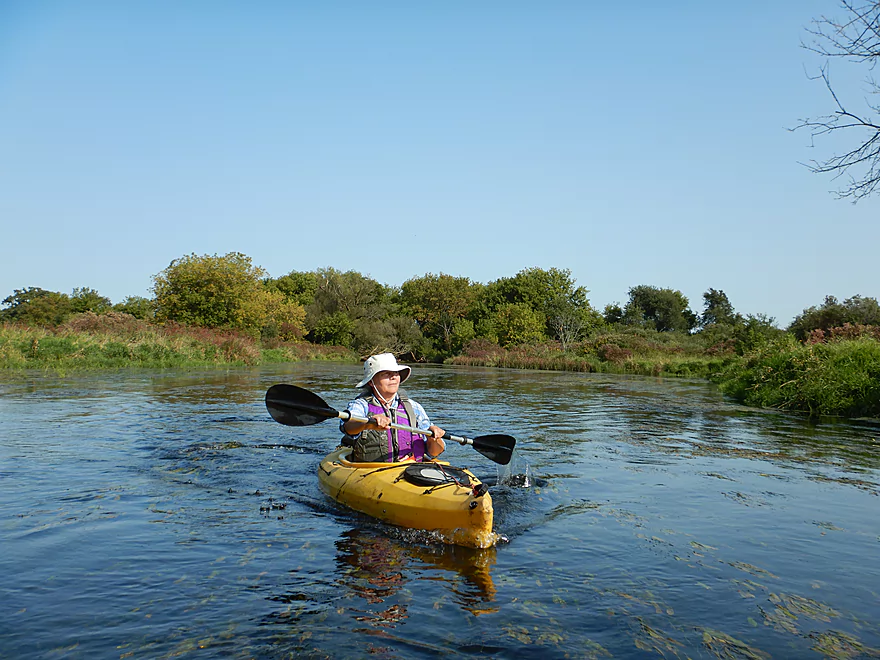
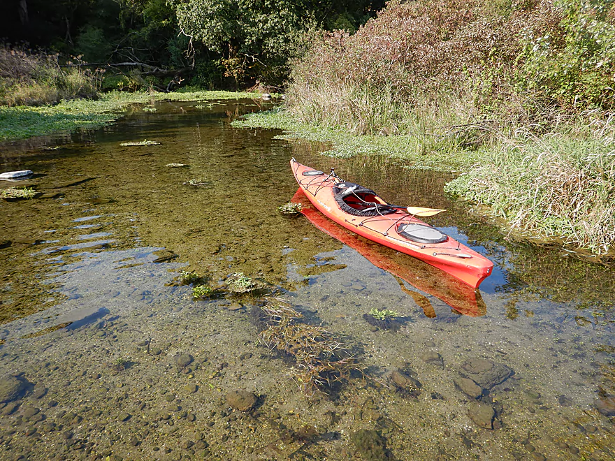
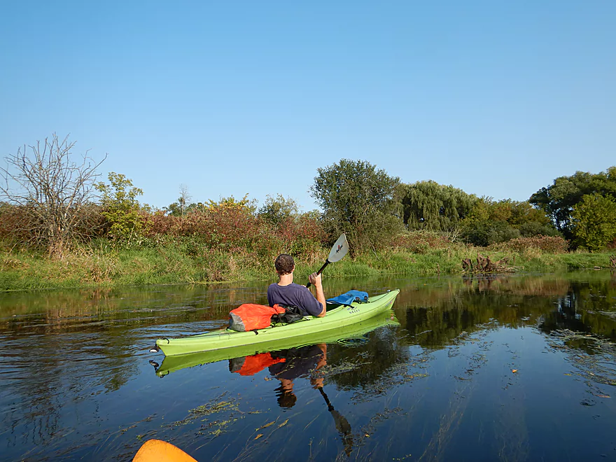
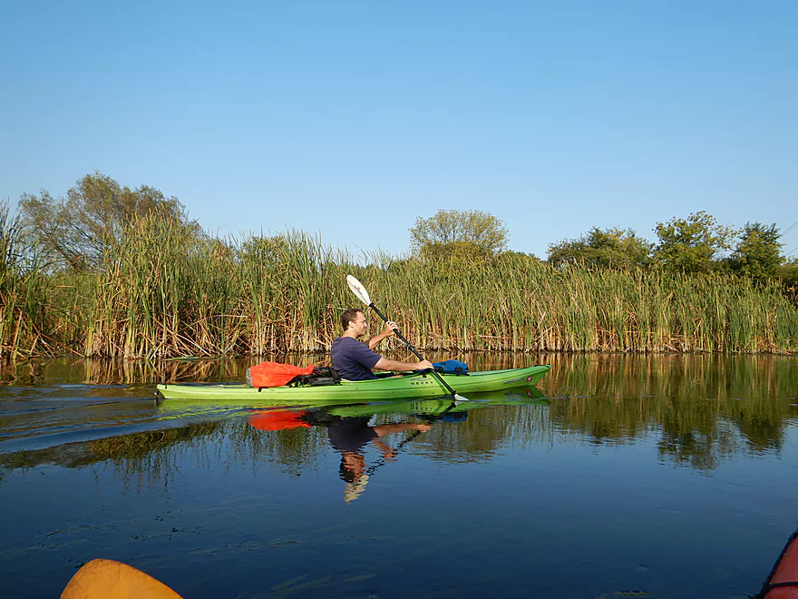
The most remarkable attribute of the entire creek is its clarity which was fantastic and among the clearest paddles I’ve done all year. Despite the channel being consistently deep at 3-5′, you could usually see all the way down to the bottom. The clear water allowed you to see the pondweeds flowing gracefully in the current, the many fish darting about, and the coarse sandy substrate. It was like paddling in an oversized aquarium…really cool! In fact I highly advise saving this paddle for a sunny day and during low water levels for the best clarity.
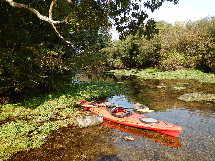
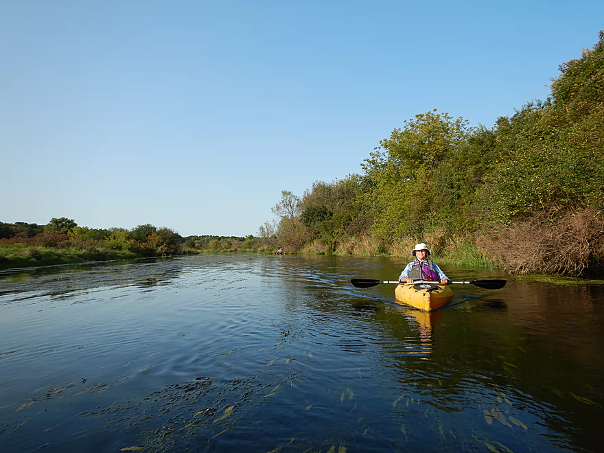
The banks consisted of intermittent hardwoods, many shrubs, some marsh plants and surprisingly little mud. But most wonderful of all, they were almost completely devoid of civilization minus the one house we saw and the occasional road traffic we heard. While generally somewhat flat (like many SE Wisconsin paddles because of the glaciers) a moraine ridge follows the creek from Hwy C to E. Creek Road which adds to the scenery.
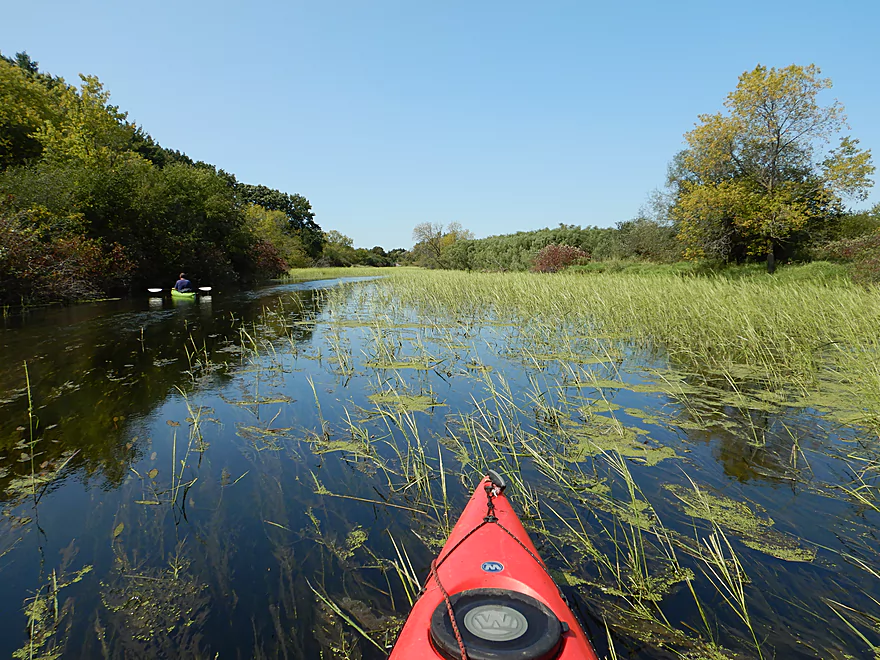
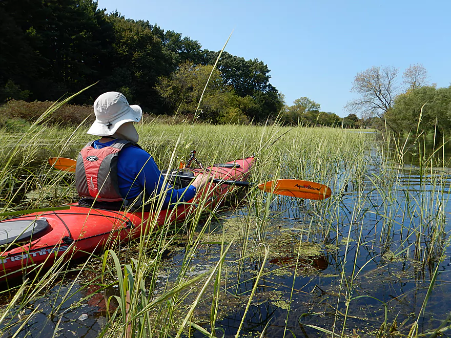
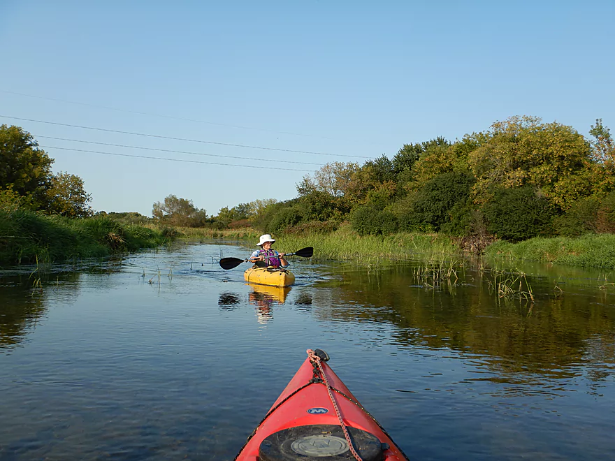
One of the other highlights of the trip was the large wild rice fields we got to paddle through. Quite prolific, it would sometimes consume large portions of the channel leaving only small corridors to sneak through. Coupled with its bright emerald green leaves, it was quite scenic. The best rice field is just upstream of the Hwy 14 bridge.
The biggest tributary to the upper Turtle would be its many springs which keep the water cold, clear, and even remarkably open during winter. On occasion you’ll see (and feel) these spring inlets come into the creek where beavers work to dam them up. The largest spring-fed creek comes in from Trout Lake, which you can actually paddle up for a ways. Unfortunately the natural springs that form Trout Lake are buried by a large dam flowage and private property signs deter the public from exploring.
Following Hwy C was another spring creek on our right, but this one you can explore and it was really cool. Perfect water clarity, zen-like underwater plants, and gushing water coming from under the hillside. It was somewhat shallow, so you may need to wade somewhat to get upstream, but it was worth it (despite the ice cold water making my toes numb).
In summary, this was one of those creeks that surprised you with how nice it was. There was nothing grandiose about it, but it had a lot of subtle beauty that you wouldn’t expect in overdeveloped southeastern Wisconsin. I very much recommend this section, but do again advise going during ideal conditions (low water and strong sunlight).
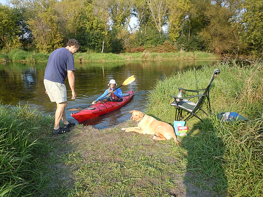
School Section Road has a very good bridge access and is very popular with the locals. Here a small trail leads to the water and ample parking is available along the shoulder.
There is a canoe launch area west of the East Creek Road bridge. This was a decent option, but it was deceptively deep and muddy (doable though). To reach the parking lot, you’ll need to drag your boat 280′ over grass.
Note, many of the nearby bridges are also good access options. Upstream, Hwy 14 and Hwy C have good launch areas (lot of paddlers were parked at Hwy C). Downstream, South O’ Riley Road is a good option (note that access is not by the bridge but rather a quarter mile east of it).
I’m not aware of any local liveries or rentals, but this would be an easy bike shuttle at 4.8 miles with virtually no hills. A short stretch on Hwy 14 is busy, but the rest of the route has hardly any traffic.
There are really no hazards or logjams, and the current is for the most part pretty gentle. Be mindful of wind direction and speed as this is an open paddle.
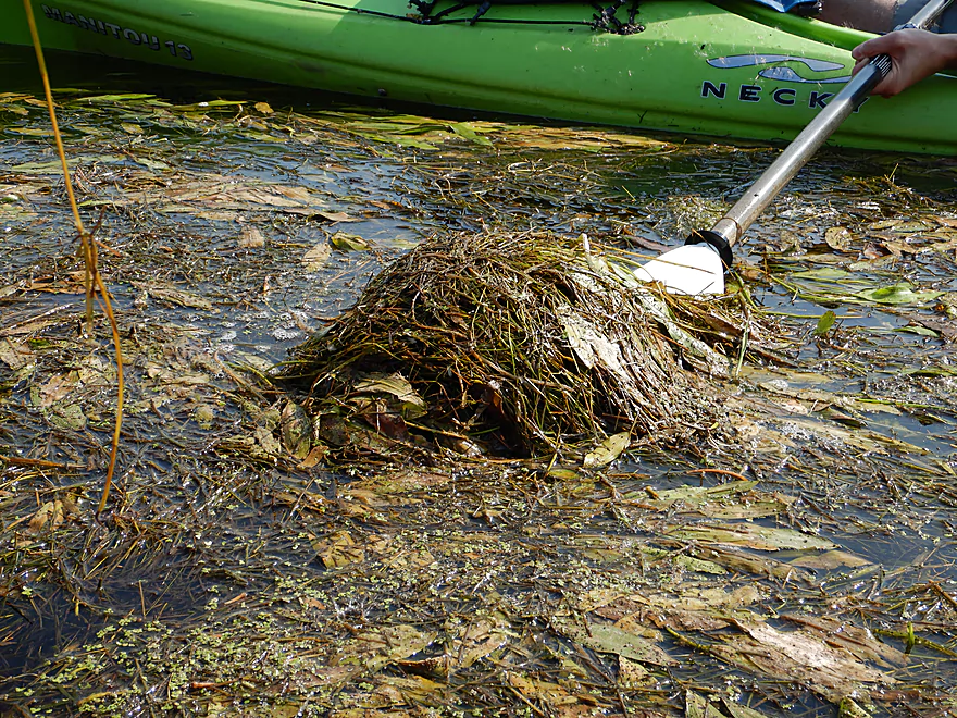
In late summer and at low depths, some of the weed growth can constrict the channel somewhat. It was thick at times for our trip (September at 110 CFS), but we were never blocked in.
There is a local gauge on Turtle Creek located near Clinton, Wisconsin. Below is my depth guide:
- 0-80 CFS: 60 CFS is typically an average late summer depth. Clarity would be excellent at these levels. I don’t think you would be grounded much, but in late summer/fall, weeds might choke parts of the channel.
- 81-150 CFS: A higher depth with good clarity. I think you should be always able to get through the weeds. We went at 110 CFS.
- 151-250 CFS: Still some clarity, but likely the creek loses a little magic at these higher levels.
- 251-350 CFS: While navigable, a lot of the creek character would likely be submerged.
- 351+ CFS: Likely a little high for an enjoyable paddle.
A snapping turtle, a beaver (and two beaver dams), some clamshells, 5-6 great blue herons, and a wounded goose (coincidentally goose hunting season had just started). The highlight was the many fish you could see in the clear water. Mostly minnows, some decent sized suckers, and a few gigantic carp.
Detailed Overview
Special thanks to Friendsofturtlecreek.com for many of these tidbits.
- Turtle Lake Boat Ramp to Turtle Lake Road: 0.8 miles. Half of this would be a lake paddle on spring-fed Turtle Lake. The other half would be over an extremely small channel that would likely require very high water to be navigable.
- Turtle Lake Road to Island Road: 3.2 miles. Artificially straightened, and perhaps requiring a few culvert portages, this marshy section would likely not be for most but could have its appeal. Google has a nice street view image of this section.
- Island Road to Dam Road: 2.5 miles. More straightened channels running through thick marshes. This could have some subtle beauty to it. An alt take-out would likely be Hwy P.
- Dam Road to North Terrace Street: 2.8 miles. For 1.5 miles the creek finally meanders naturally for the first time, but in the last mile, the creek is impounded by a dam to form Comus Lake. Take out above the dam at the public Comus Lake boat ramp.
- North Terrace Street to School Section Road: 6.3 miles. Good marsh prospect with perhaps a logjam or two. Launch below the dam but be wary of a second lowhead dam. On my to-do list.
- School Section Road to East Creek Road: 6.9 miles.
- School Section Road to Hwy 14: 2.2 miles. Great section, with terrific water clarity.
- Hwy 14 to Hwy C: 2.4 miles. A bit more weedy, but still a great section with good water clarity. Spooner Park is an alternate access.
- Hwy C to E. Creek Road: 2.2 miles. A nice section with some scenic springs.
- East Creek Road to Hwy 140: 6.8 miles.
- East Creek Road to O'Riley Landing: 1.9 miles. Good stretch with scenic wild rice.
- O'Riley Landing to S. Carvers Rock Road: 3.1 miles. Little Turtle Creek comes in and significantly increases the size of the main channel. This is still a pleasant stretch with good clarity and an attractive gravel bottom.
- S. Carvers Rock Road to Hwy 140: 1.9 miles. This stretch is more wooded and hilly. There are several hidden limestone outcrops on this leg.
- Hwy 140 to Sweet Allyn Park: 5.2 miles.
- Hwy 140 to Turtle Creek Parkway/Smith Road: 3.8 miles. A good leg with deep clear water. The latter parts are a bit weedy though.
- Turtle Creek Parkway to Sweet-Allyn Park: 1.4 miles. A more shallow, but terrifically scenic stretch with fantastic clarity. The highlight is a historic five arch stone bridge.
- Sweet-Allyn Park to S. Lathers Road: 1.5 miles. Likely a nice prospect. The take-out at S. Lathers Road is good and used by paddlers…but vague No Parking signs don’t make it clear where you can park.
- S. Lathers Road to Town of Turtle Creek Canoe Launch: 2.2 miles. Likely a nice prospect.
- Town of Turtle Creek Canoe Launch to Milwaukee Road/Turtle Creek Greenway Trail: 5.5 miles. A nice trip through the Turtle Creek floodplain and outskirts of Beloit with occasional riffles, an attractive gravel bottom, and lush jungle-like vegetation.
- Milwaukee Road to Colley Road: 0.4 miles. Good prospect.
- Colley Road to Turtle Creek Park: 1.6 miles. Good prospect. Take-out is west of Dearborn Street. Disembark north of the creek and park to the west. Bank is a bit steep here. A nicer launch is south of the creek by Turtle Tap. Turtle Tap is private, but supposedly there is a strip of public land you can use to launch from.
- Turtle Creek Park to Dickop Street: 1.0 mile. A very good prospect.
- Dickop Street to John Jose Canoe and Kayak Launch: 0.8 miles. A final short section on Turtle Creek, then a paddle upstream on the Rock River to reach a take-out.
Trip Map
Overview Map
Video
Photos Size:
Hey my name is Steeny. I live on Dam Road,in Delavan… about 1 mile to the Creek. I put in there sometimes and paddle towards lake Comus. i call it, like being in Disney Land. All the wonderful things to be seen. thousands of dragonflies to keep you mosquito free. Currently a Snowy White Egret has been hanging out at the bridge on Dam Road. I have a few pix, though grainy, as they were with telephoto on a cell phone. You can only go so far towards P…as there is a log jam to encounter every few yards of Creek. We went under a few. Is it legal to go in with a chain saw and make a path? Probably not. Had an Otter swimming towards us. Saw a great white heron on Lake Comus. Great site! Will be discovering the other Turtle Creek from the Dam to C/Fairfield or vice versa this weekend.
Thanks for the feedback. I’ve been curious about Comus Lake for a while and do want to check it out. As for clearing out logjams, locals do it all the time and it is quite common. I think it is ok, unless the DNR posts special rules for a creek. If you do the section below the dam, let me know how it turns out. There is a lowhead dam visible from satellite that might be a little problematic.
It was very nice, a lot of rain so some areas had stronger currents. Lost my phone and wallet and keys. They are in an orange waterproof box. Please, Please if anyone find this please take it to the police department or give me a call at 920-699-5383 or 920-988-5816. There is a reward. Thank You, Jean b.
That’s too bad. If I hear anything, I’ll definitely let you know.