
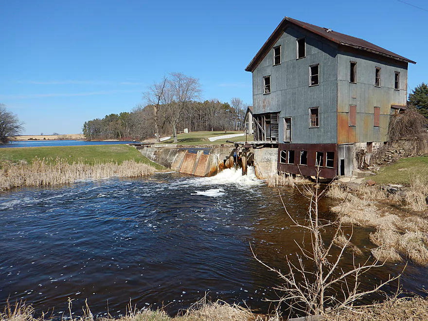
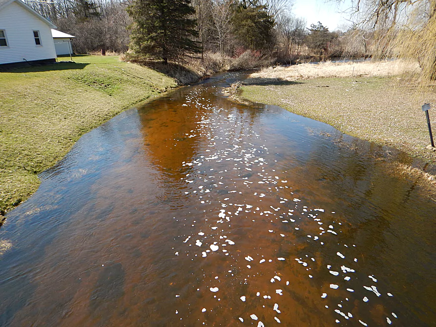
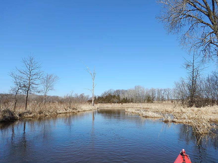
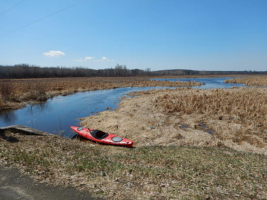
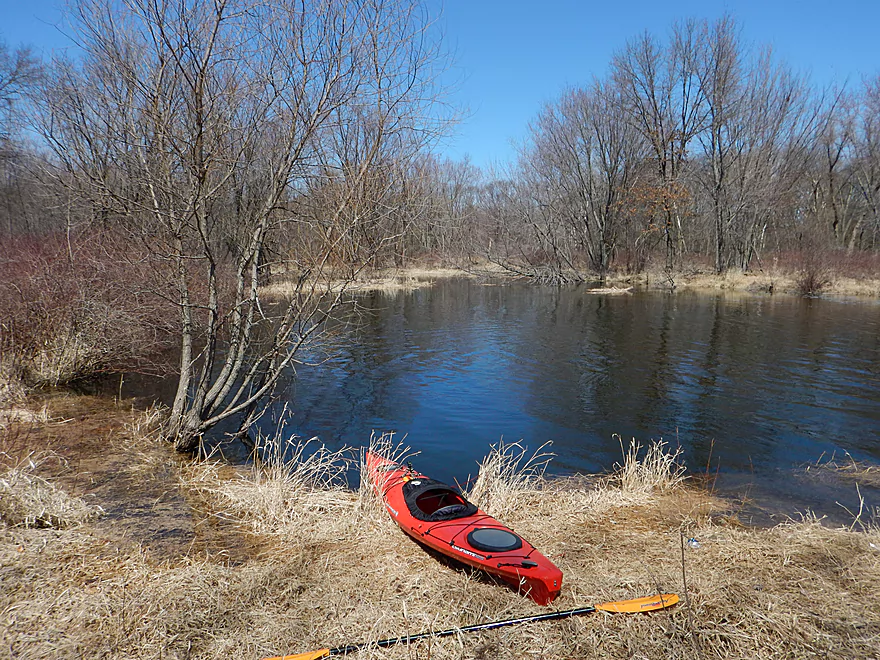
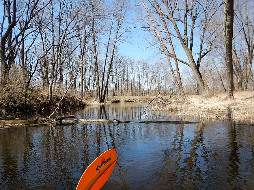
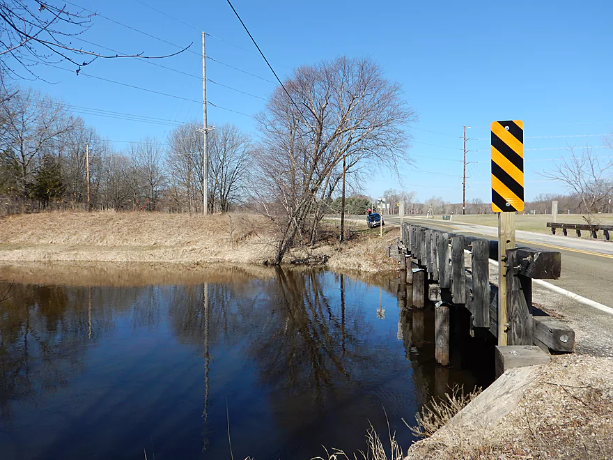
Putting in at the old Dates Mill
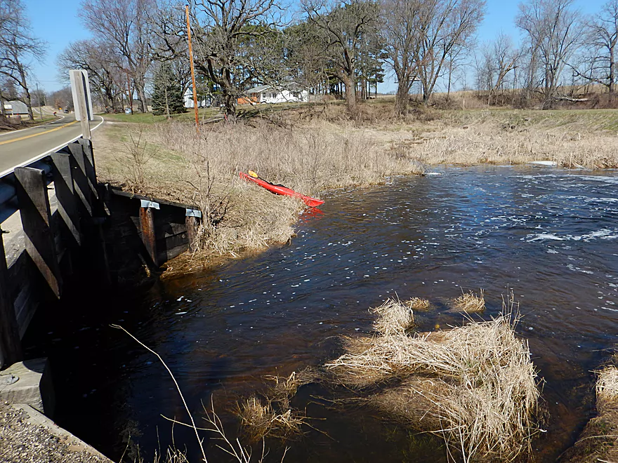
Ok access…parking is not great though
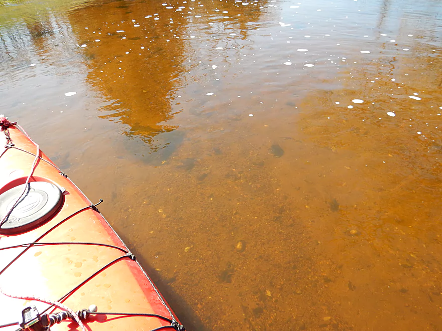
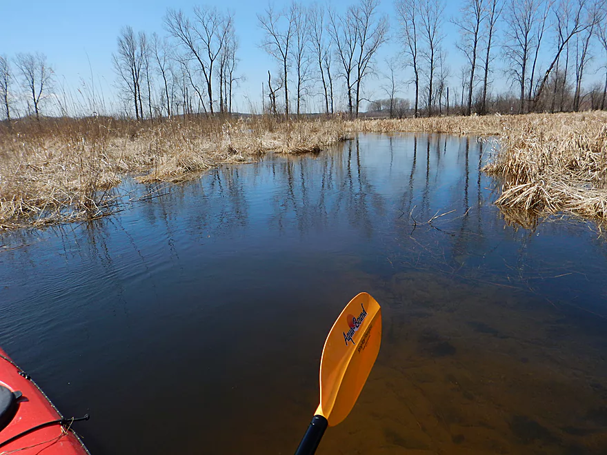
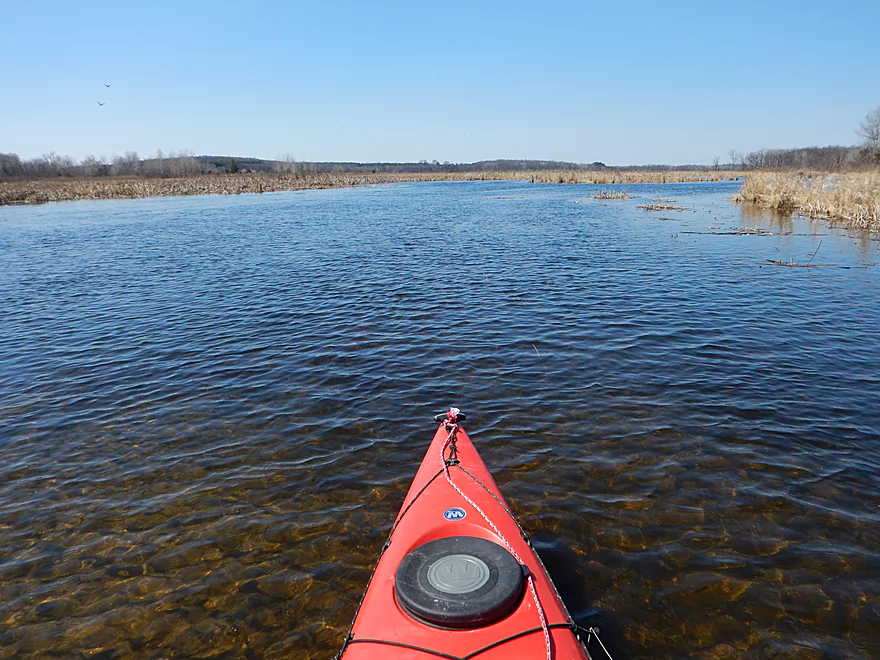
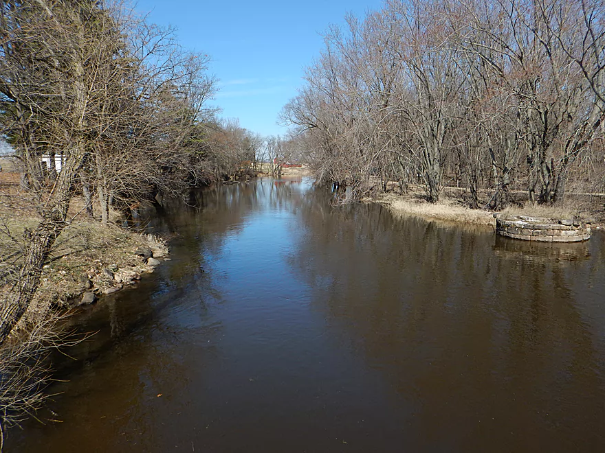
Nice water clarity
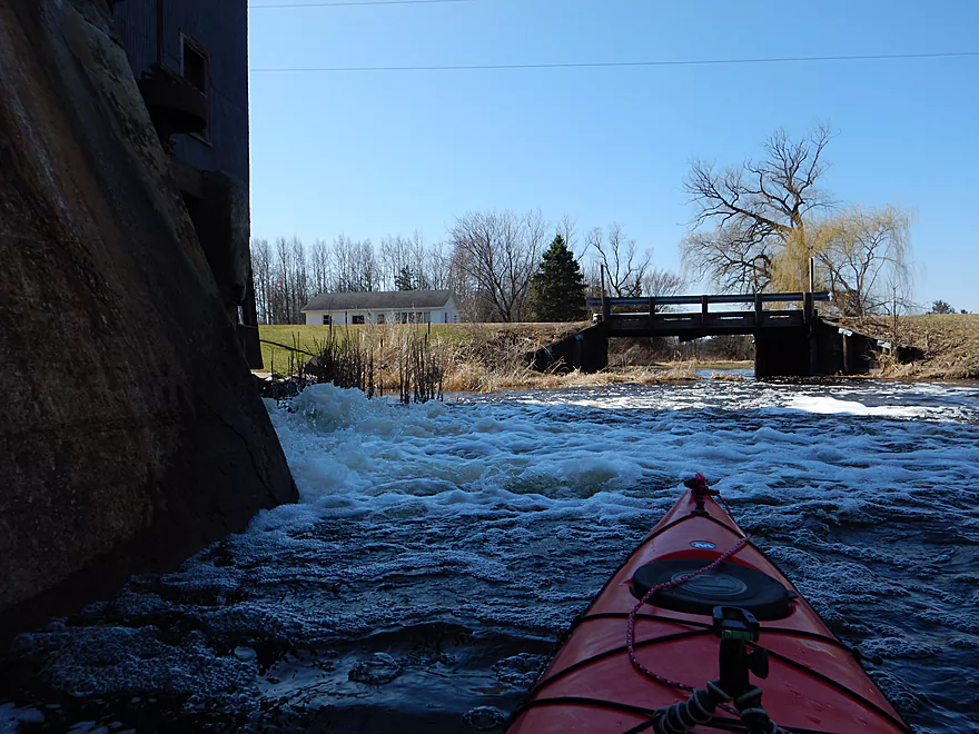
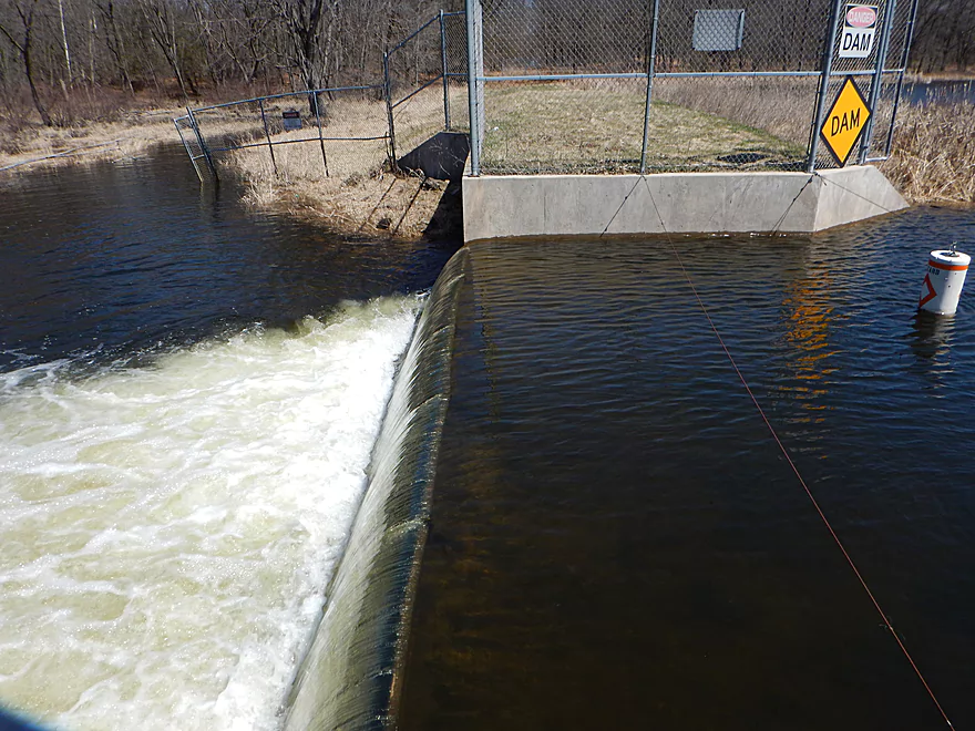
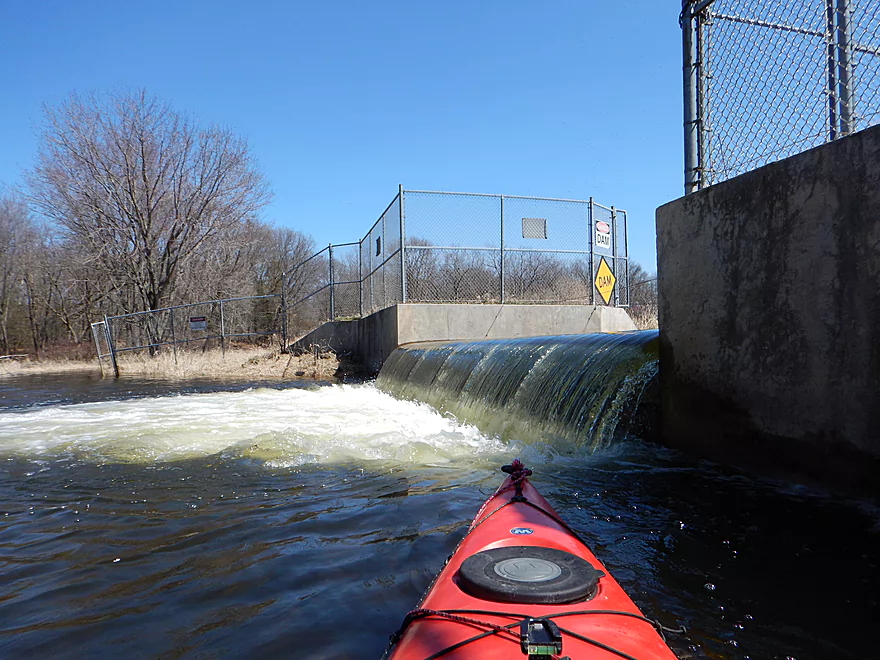
Frothy dam
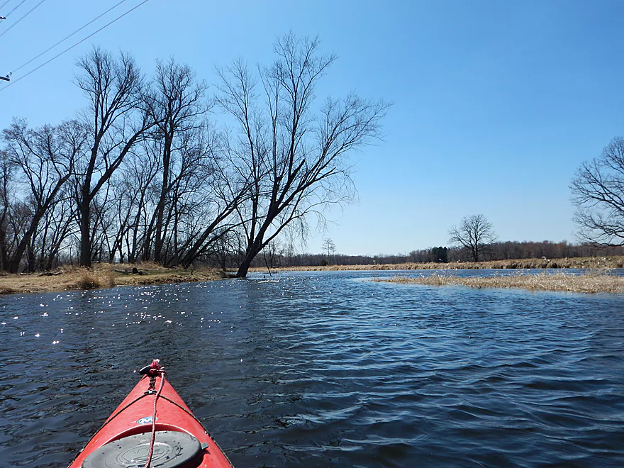
French Creek is very sandy
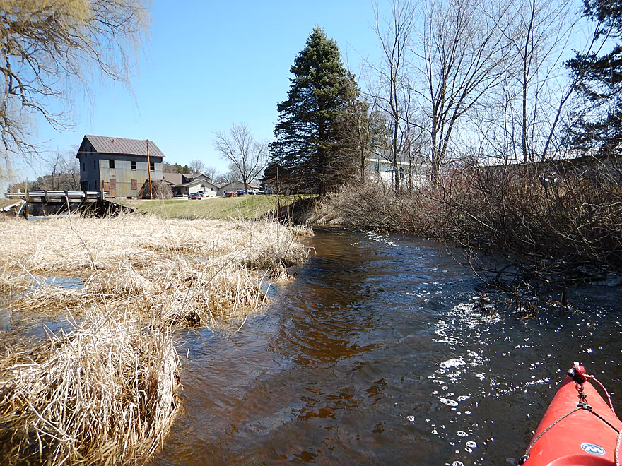
Looking back over some riffles
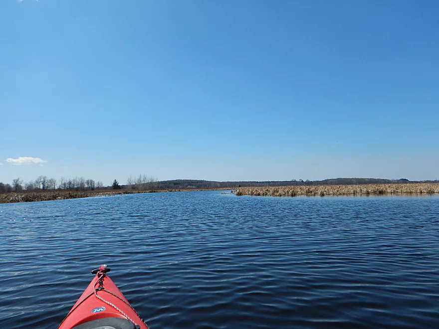
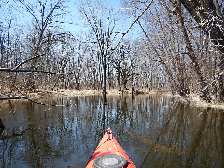
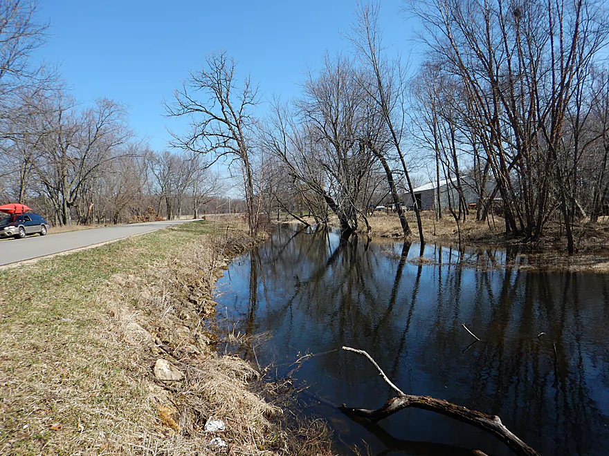
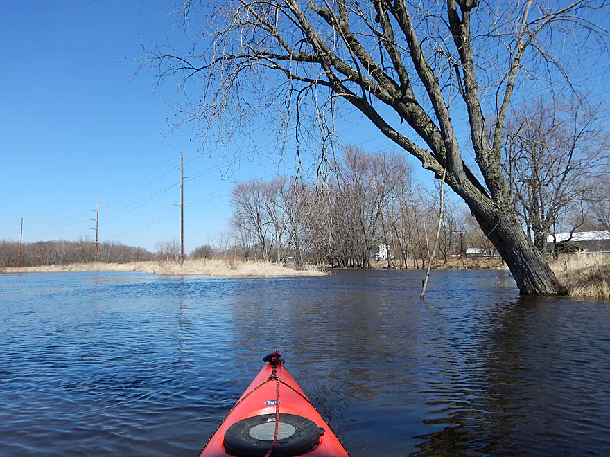
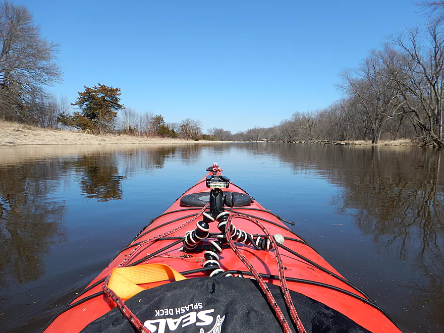
Very open creek
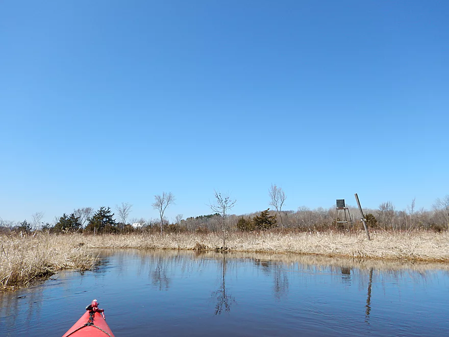
Number of blinds (this is technically between protected areas)
A log jam in lower water
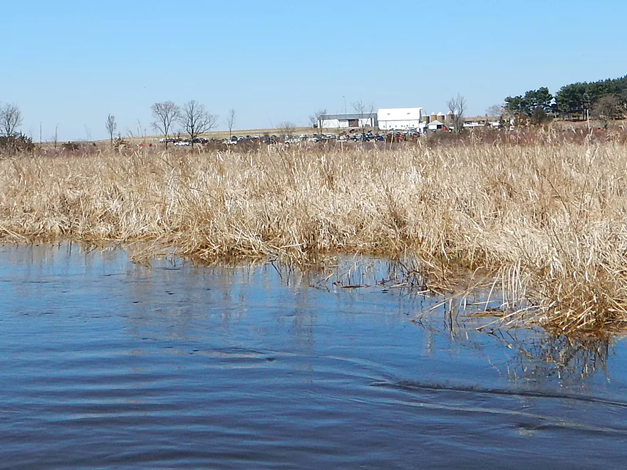
You could hear this auction for miles…
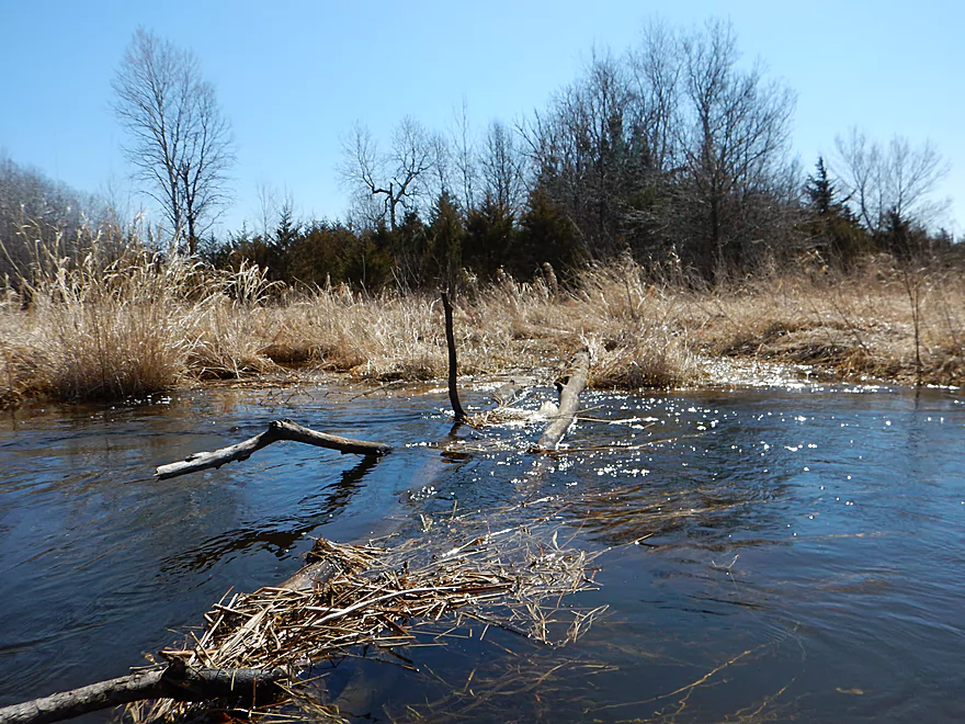
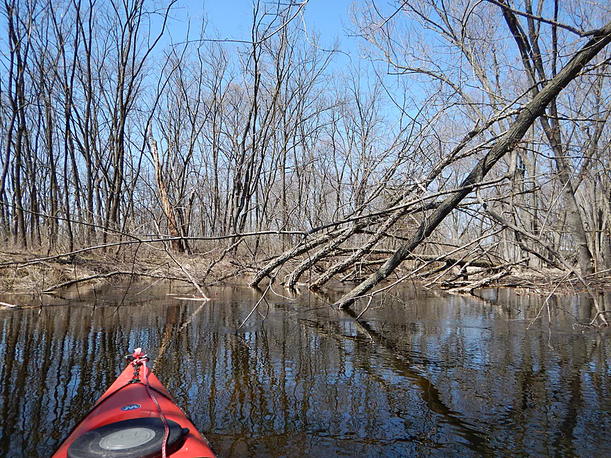
First real log jam
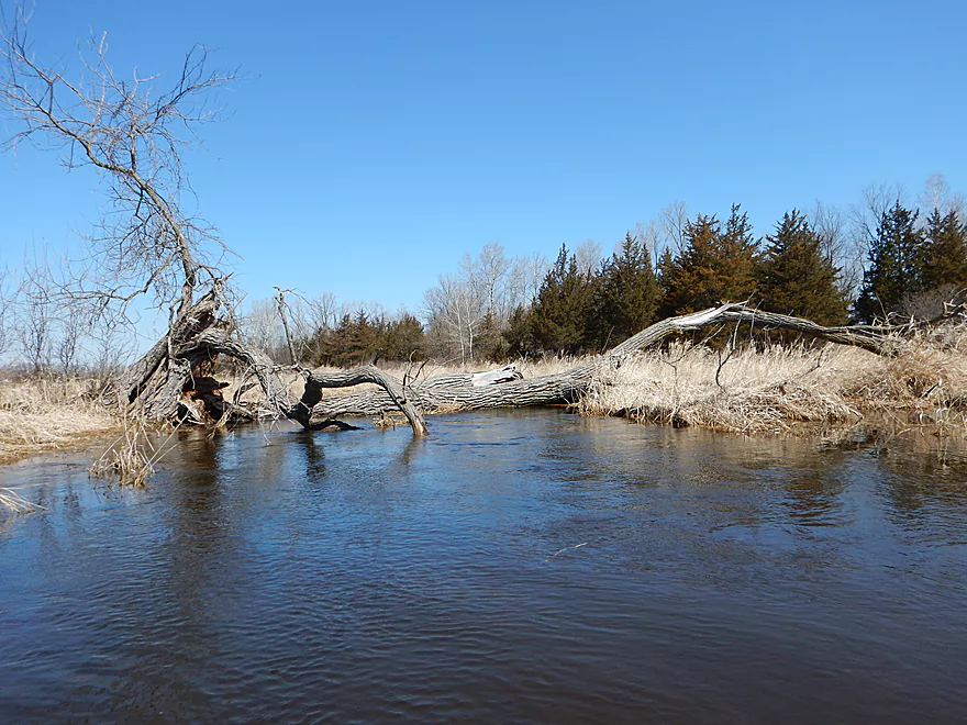
Easy portage
Would be another log jam in lower water
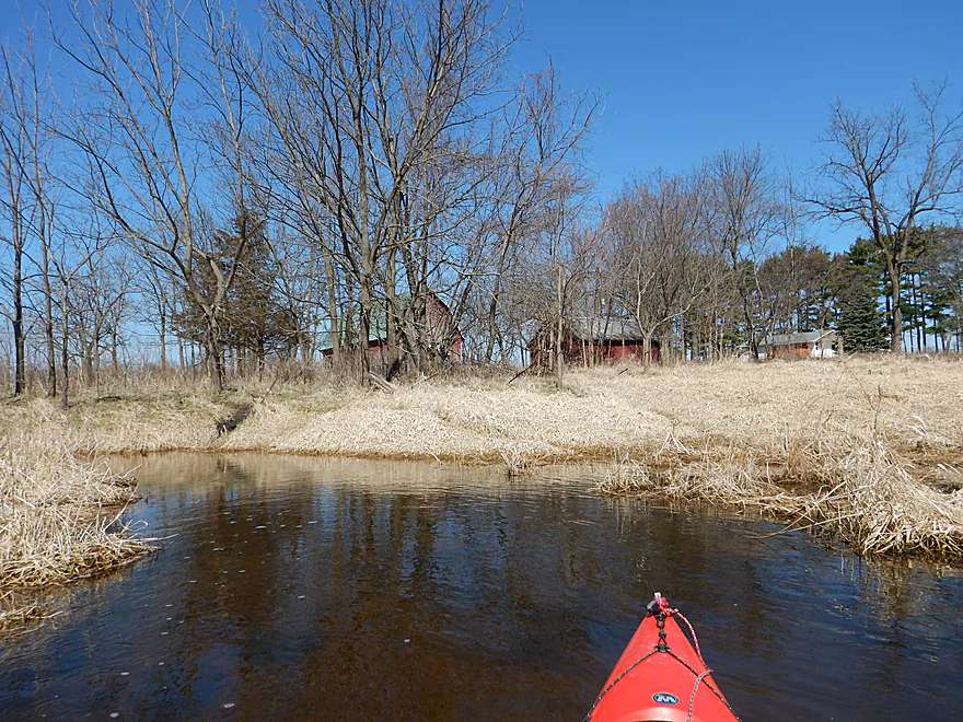
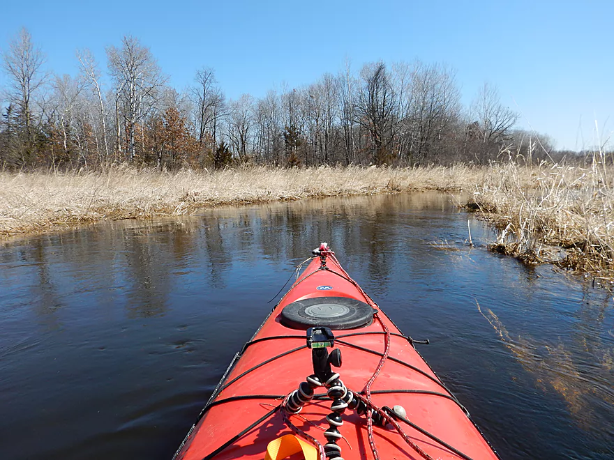
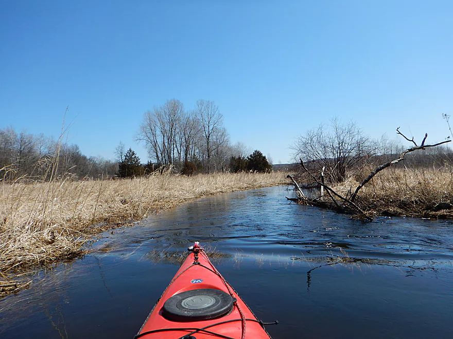
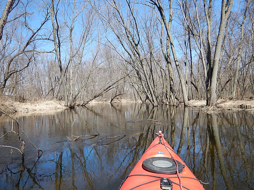
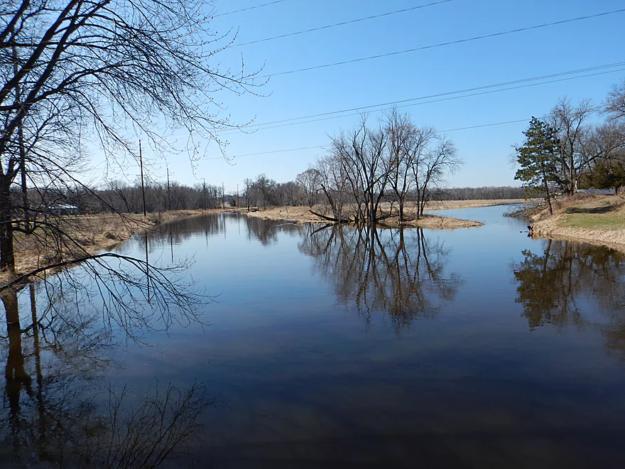
So curvy even the water is getting dizzy
April produces such nice blue skies
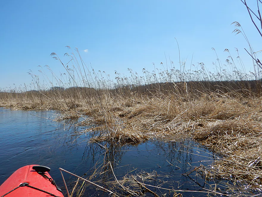
Phragmites
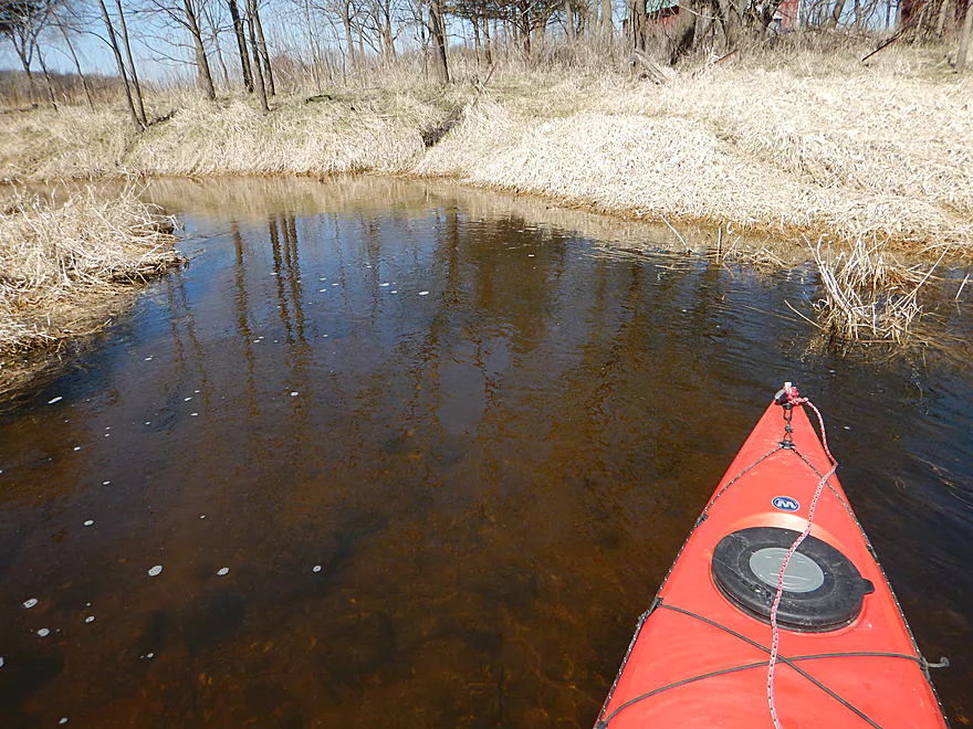
More good water clarity
And more sand
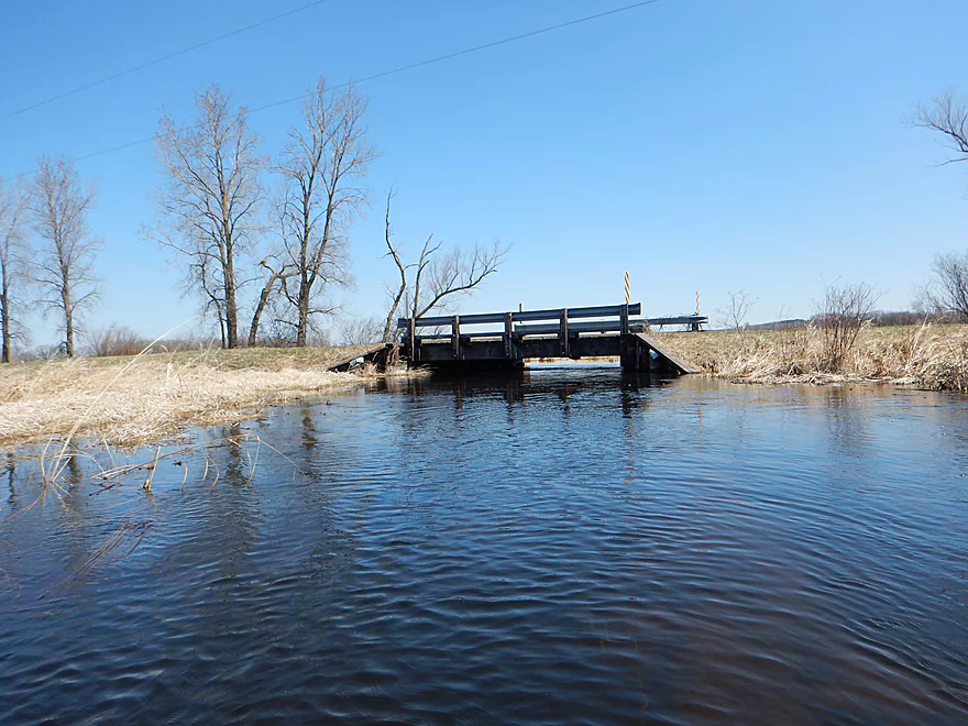
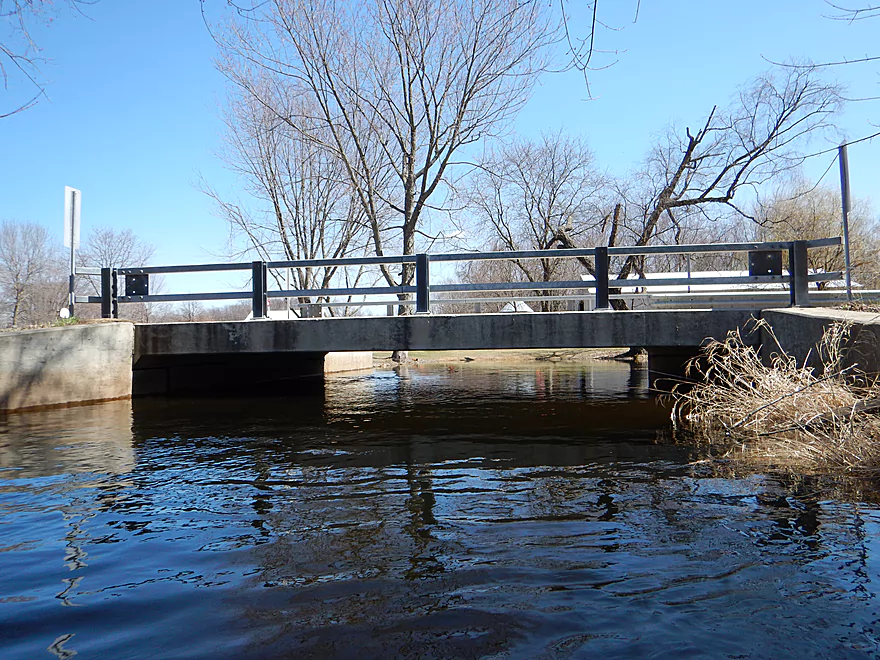
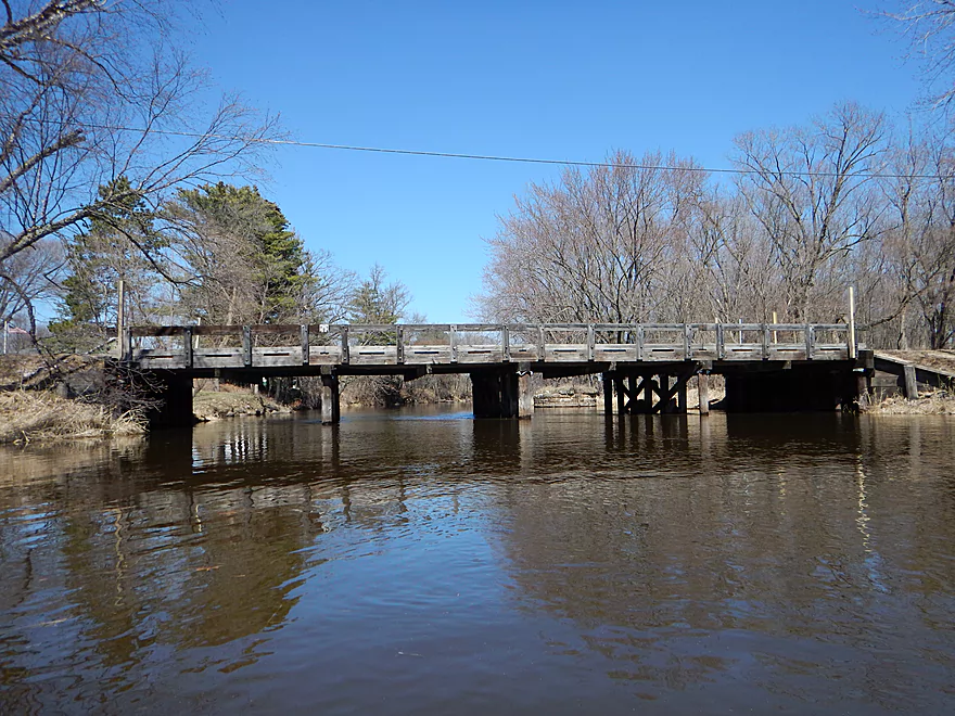
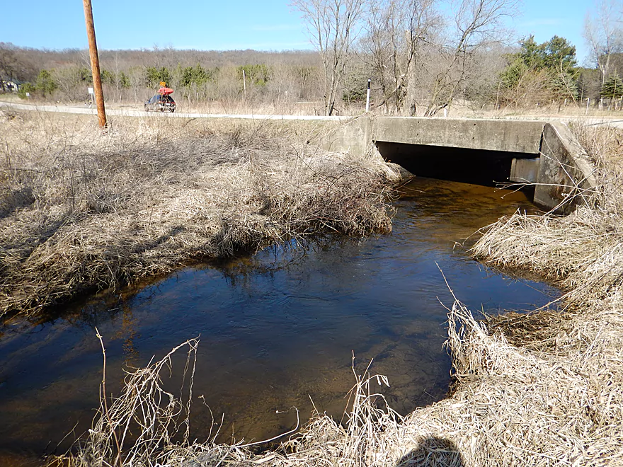
Did not fit under the Wilcox Road bridge
That is ok…easy portage
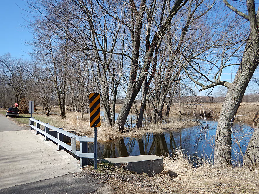
Other side
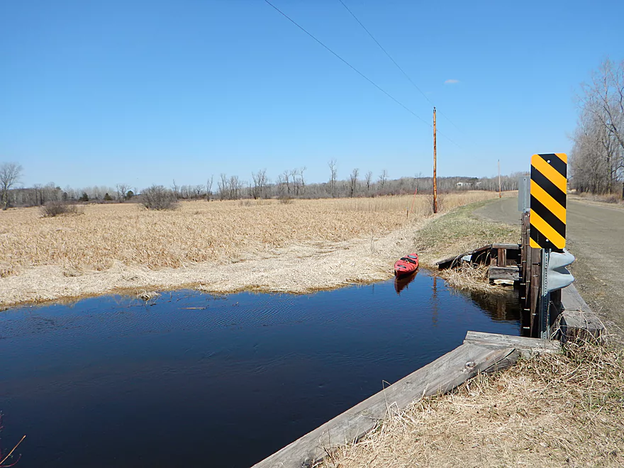
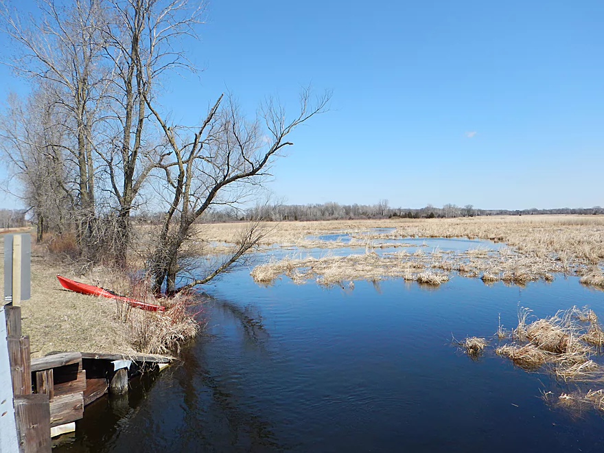
Good alternate access
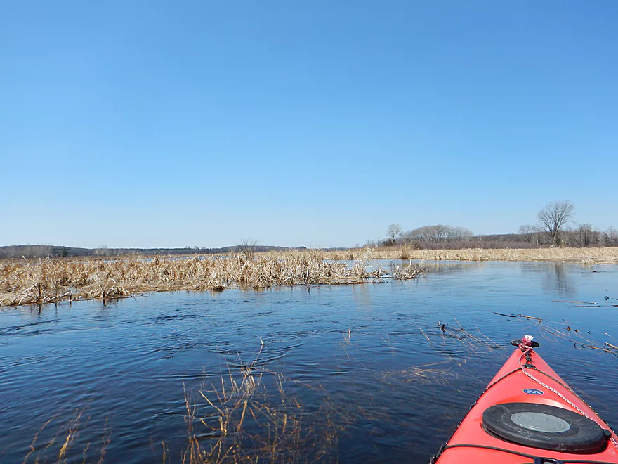
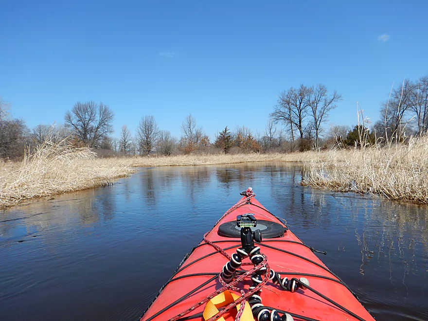
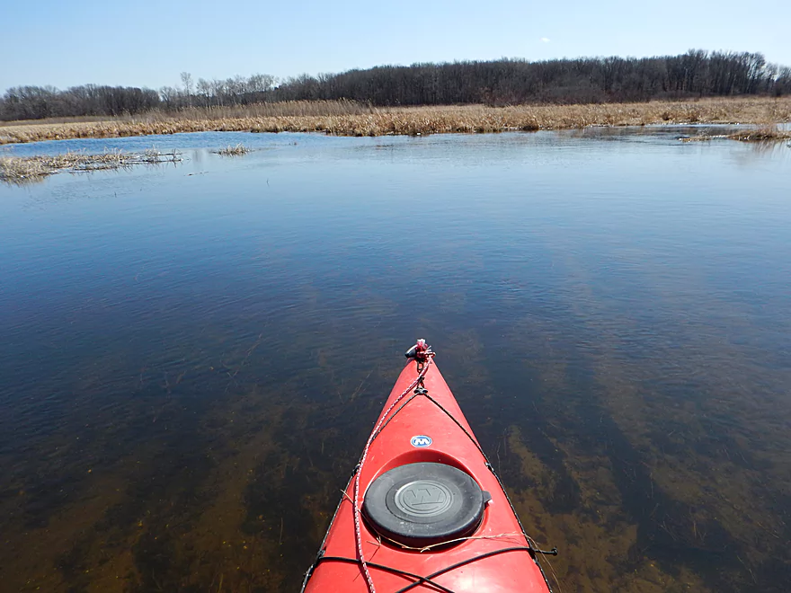
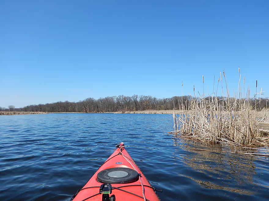
Entering the marsh
Normally green and with nice lilies…still cool
Lots of reed canary grass
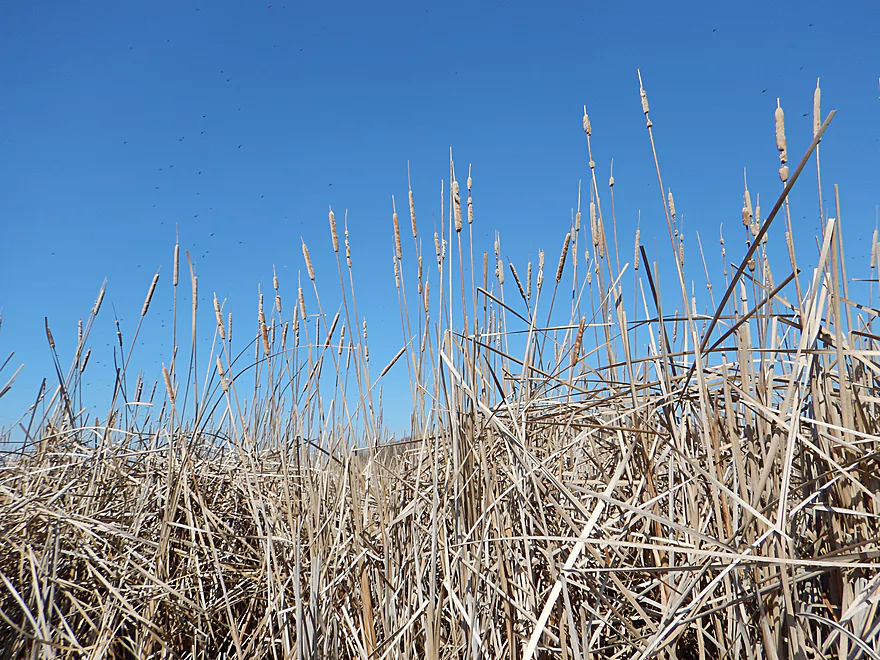
Lots of invasive cattails
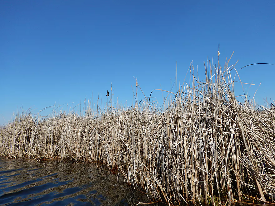
Lots of red-winged blackbirds
Lots of geese
Lots of water
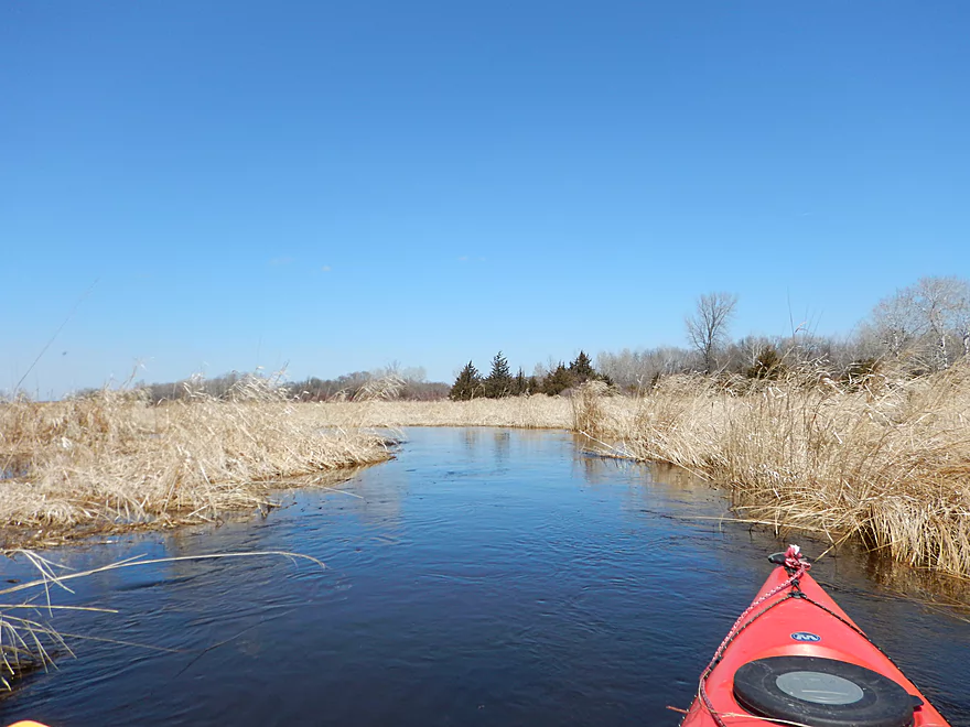
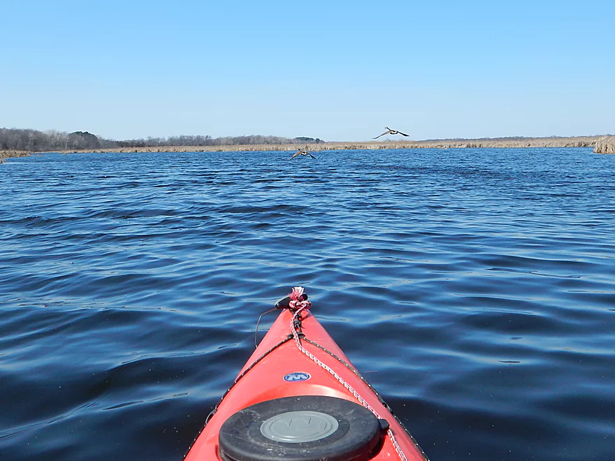
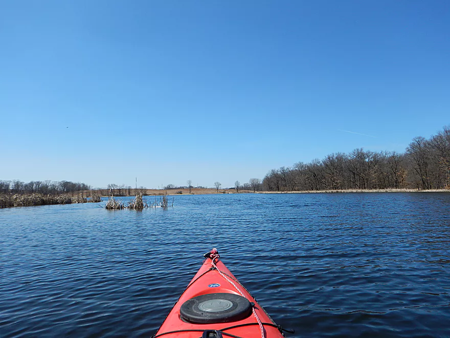
Entering the main lake/flowage
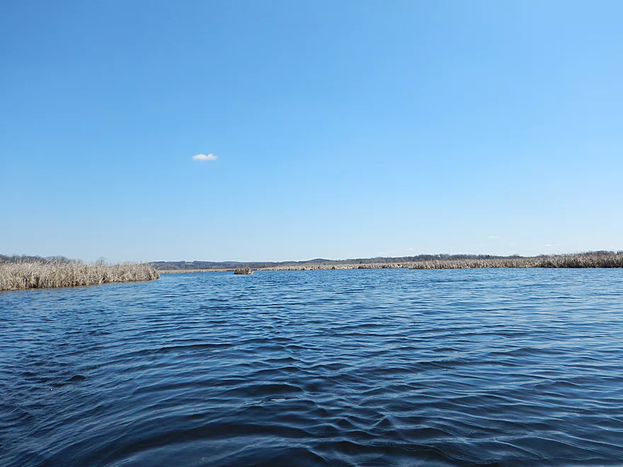
North shore of flowage
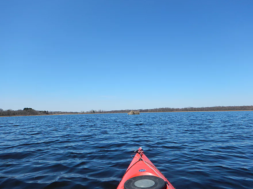
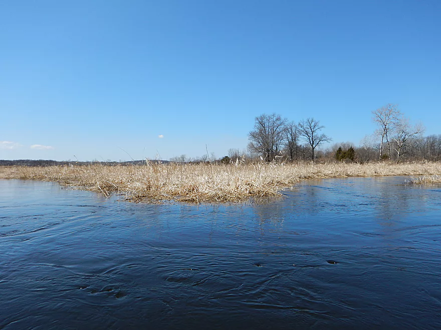
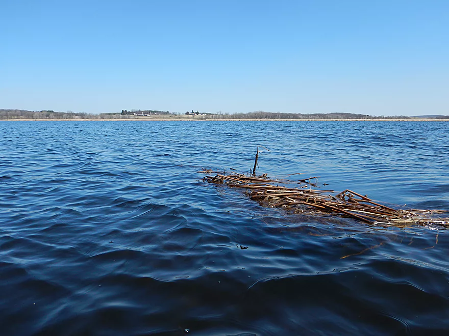
Grass island is the most entertaining thing on the flowage
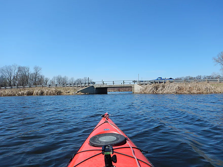
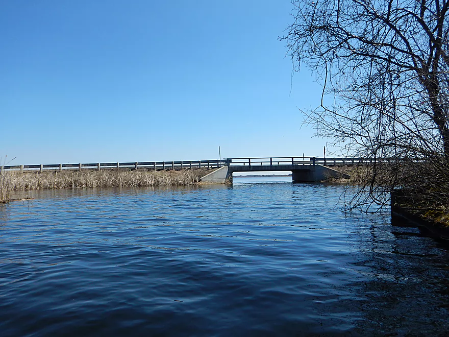
Hwy F at last!
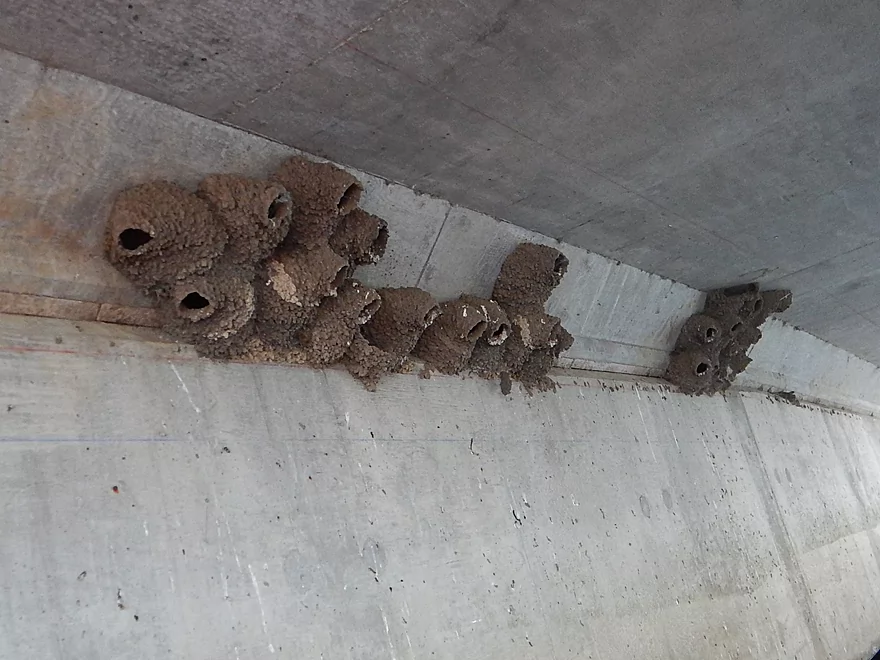
Cliff swallow nests
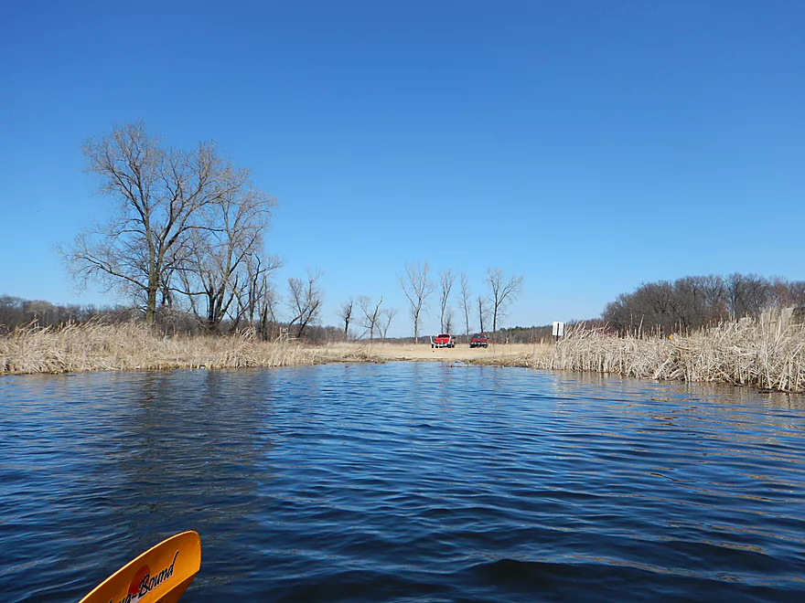
A well-used boat landing
Looking back at Hwy F
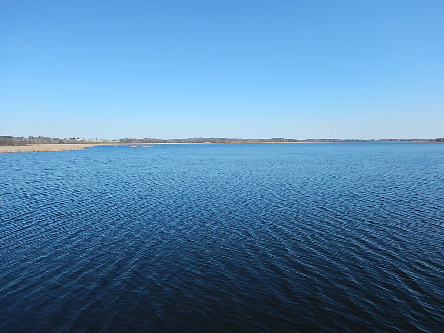
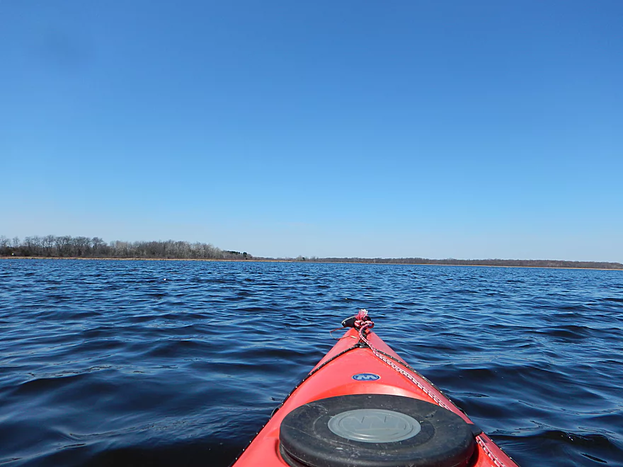
Looking back over the flowage
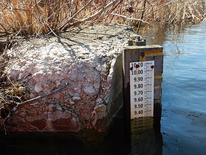
9.3 feet is maybe a foot above normal?
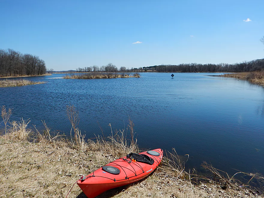
Another small lake
Lake paddling is evil
The culprit
Very easy portage
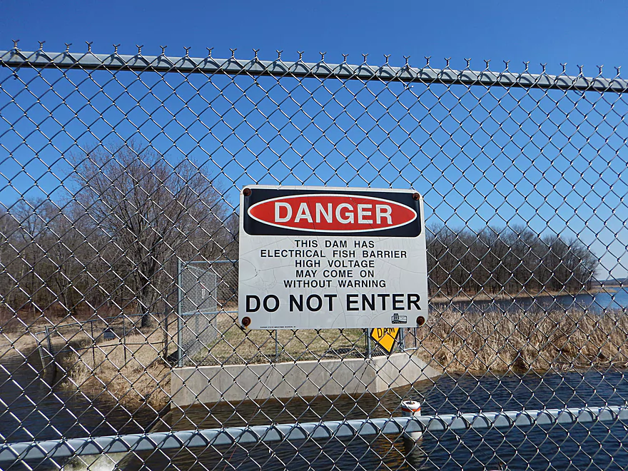
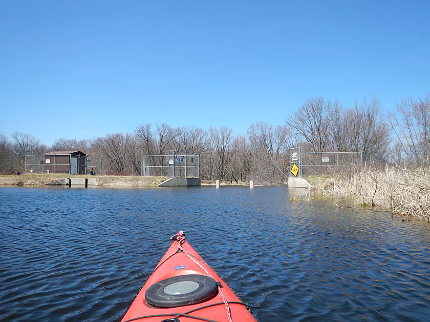
Dam and electric fish barrier
Not sure which would be worse
Easy reentry from portage
They draw this down occasionally to control cattails
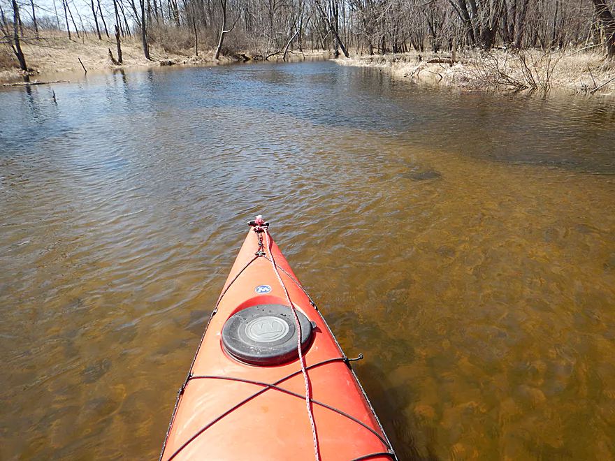
More great water clarity
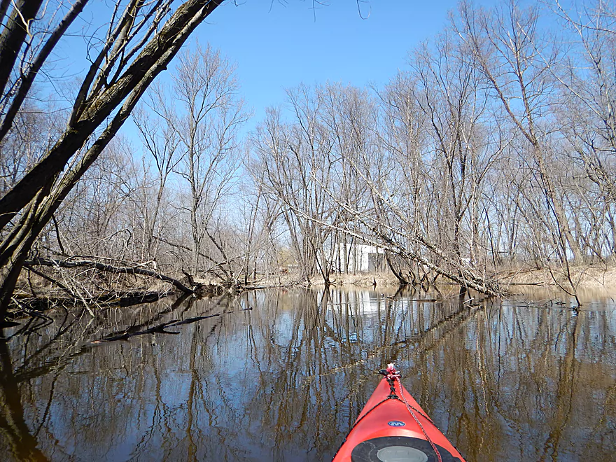
Entering the wooded section
And it is a tangle…
Cool tree canopy in the summer
Normally a log jam, I was able to hop over
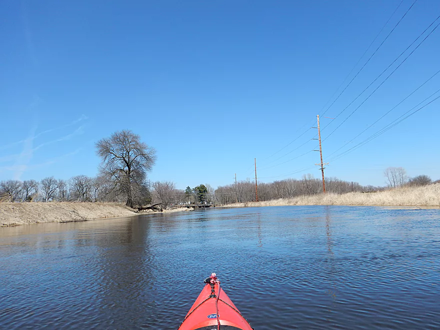
Coming up to Fox River Road
I almost did not fit under this bridge too!
This would be suitable for alternate access
Escorted onto the Fox River by white geese
The confluence of French Creek with the Fox River
Fox is a nice lazy river
Hwy CM is my suggested take-out
Not great, but doable for access
Looking downstream from bridge
Looking upstream from bridge
But I am going to take out a bit further downstream
Looking forward to doing this stretch properly in summer
When it is not so flooded and brown
Private take-out (owned by a friend)
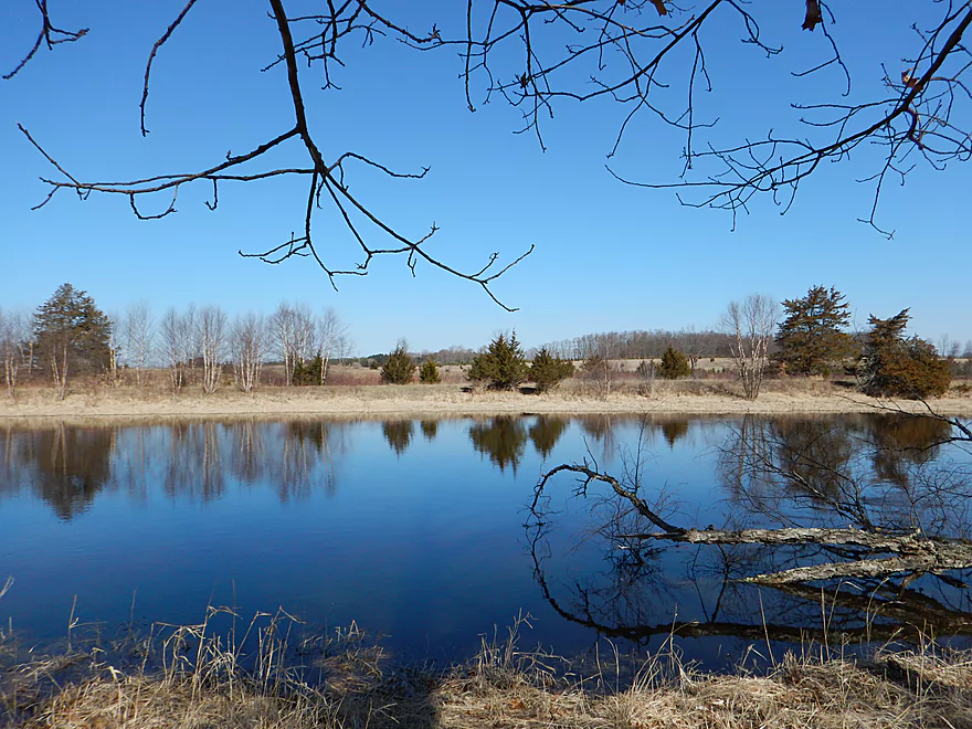
Cool reflections
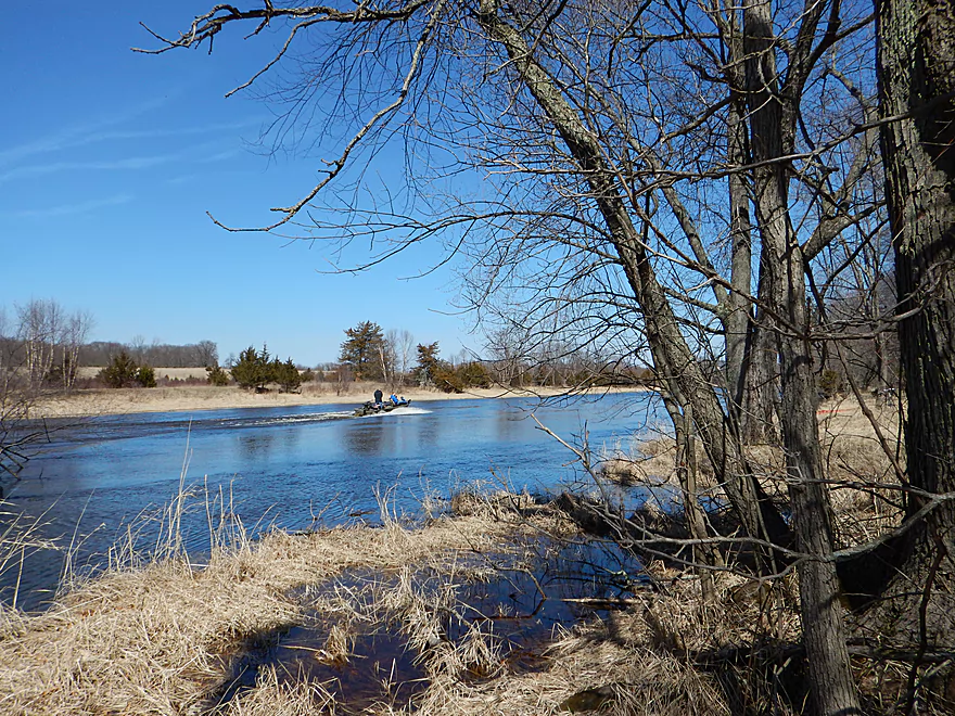
Broken up by a power boater
Scouting Dalton Road as a put-in
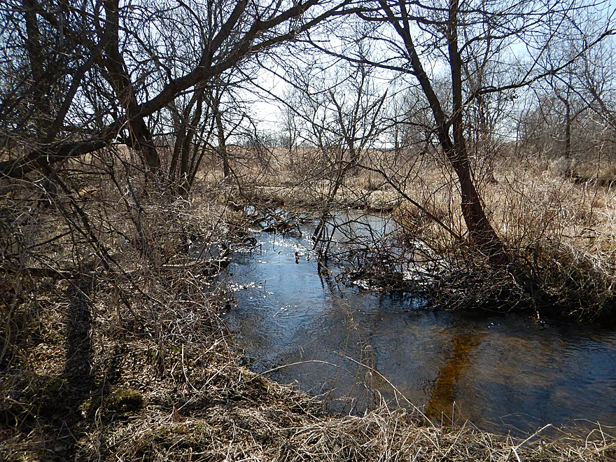
Too shallow and log jammed for my taste
French Creek

Ultimately, this was a diverse trip with interesting contrasts. It would vary between lake, creek, river, woods, marsh, humans, lack of humans, fun paddle and boring paddle.
Best put-in is at Hwy CM (by the Dates Mill Pond). While probably public DOT land by the bridge, it is a little close to houses, so I chose to park 500 yards to the west for peace of mind.
Best take-out is also at Hwy CM but where it crosses the Fox River. Only drawback is lack of privacy and a poorly defined shoulder close to private residences (you should be ok though).
An easy 3.08 mile bike shuttle with only minor hills.
Just one portage, maybe a half-mile downstream from the put-in. Maybe 1-2 more in lower water for the wet-grass area. I could see the wooded section (by the mouth) having 1-2 log jams as well in lower water. The portages should not be difficult because the banks are not steep.
Aug 4th, 2024 – Update – The main lake has filled in with weeds and was not navigable. I’m not sure if this is a new norm. The lake might still be navigable in spring and early summer.
Water levels were maybe a foot above normal, but the creek actually handled the deluge of rain we got very well. On the flip side, I suspect this creek never gets too shallow to run. There is a gauge at Hwy F which read 9.3′, but this is worthless information because you can only read the depth marker if you are already at the creek. Best gauge for planning IMO would be Lodi (for Spring Creek) and that read 5.2′.
The current starts at a good clip, with even a riffle, and continues for maybe 2′ per mile before dying in the marsh at Wilcox Road.
Very sandy trip and with great water clarity. This would be even more pronounced when paddling at lower water levels.
A number of snails and clams, especially up by the mill. Many ducks and geese (including some escapee domestic white ones). Saw a speedy beaver, red-tailed hawk, red-winged blackbirds and a number of sandhill cranes. Didn’t see much for fish, but did see a large northern below the dam.
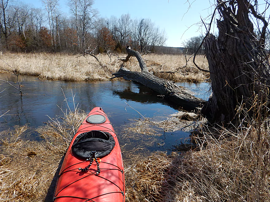
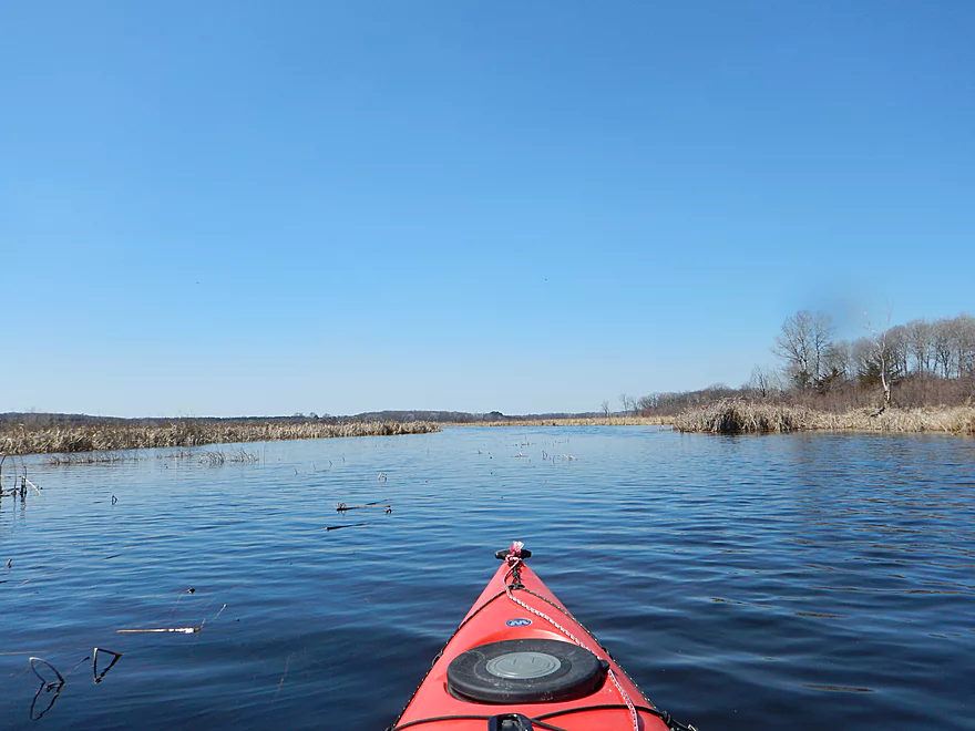
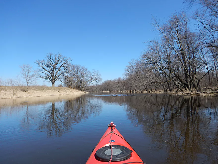
Initially, my plan was to paddle the Puchyan River this weekend, but the continuous rain deep-sixed that plan. And my backup plan and my backup-backup plan. With the waters being so high I revisited my prospect list and settled for what I suspected would be a marsh paddle (marshes tend to be good flood resistant paddles because they lack steep banks).
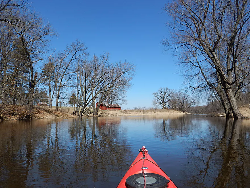
After putting in by the old Dates Mill (very photogenic BTW), you’ll be greeted by swift, clean, sandy water and even a class 1 riffle. The creek keeps a decent current plowing through wet-grass territory. This continues for a few miles with the woods gradually receding and the oxbows going a little overboard.
After two miles you’ll come up on the Wilcox Road bridge which I did not fit under (first time this has happened to me). French Creek was only up maybe a foot though despite very heavy rain (which wasn’t bad). Much of the creek section (the first two miles) were pretty deep and I doubt this ever gets too shallow to paddle.
The next mile flows through the marsh, which was abundant with waterfowl. This is a pleasant section, but I assume it is much nicer in the summer when the grass turns green and the waterlilies are up. Here is a nice summer-time picture.
Soon the marsh dies out and the flowage kicks in, which kind of smothers the character of the marsh. For maybe two miles of lake paddling, I was buffeted by wind, sun, almost getting lost (bring gps!) and boredom. This was unfortunate and almost knocked the trip down to 2.5 stars.
The Hwy F bridge, which you can see for miles as a proverbial light at the end of the tunnel, finally signals the end of the big flowage…and the start of a smaller, second flowage. This wasn’t so bad though and soon came to the dam where I met some friendly fishermen. The dam of course you don’t want to go over (doubly so because there is an electric fish barrier over it), but there is an easy portage path on the left.
It was great to see the creek regain its current and clarity below the dam. The woods kick in for the final half-mile which may be more of a problem in lower waters. For the entire trip I only had to portage once (up by the put-in). But assume in lower waters, you might have to portage a few times on the upper creek and maybe a few times in the wooded section following the dam. Not difficult as the banks are flat, which is conducive for easy portages.
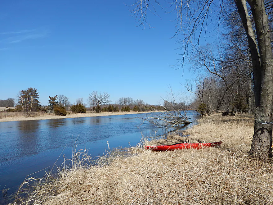
French Creek finally emptied into a pretty flooded Fox River. The Fox between Portage and Endeavor is a very nice stretch that I am banking for low water and green leaves.
You’ll have a couple of take-out options on the Fox. The historic and scenic CM bridge is very close to the French Creek mouth and would be doable for access (a smidgeon uncomfortable parking my car on the shoulder so close to houses, otherwise I think you’ll be ok). The other option is to take out at the boat landing on the Hwy O bridge but that would add maybe 4-6 miles to the trip.
In my case a co-worker owns a stretch of land following the Hwy CM bridge which I was able to use, but this would not be an option for the public.
The dam of course has a huge impact on the creek. Created initially to attract waterfowl for hunters, I’m not sure it has much of a purpose anymore. Without the dam, much of the marsh would still exist, but without the large lake which has little to do with wetland restoration. In fact because of the artificial water level stability it creates, it encourages the growth of invasive cattails and invasive reed canary grass. The DNR does draw down the dam periodically to fight the cat-tails, but this is largely ineffective.
The flowage also enables powerboaters to hotdog around (which I saw two instances of from my bike shuttle). Not a great thing for waterfowl. Hopefully one day, they will just remove the dam which would make the creek a much better paddle and a better wildlife area.
These draw downs happen every five years with I believe the next one scheduled for the summer of 2017 (might be an interesting time to run the creek).
There are a number of ways to subdivide the trip. The landings by Wilcox Road and Hwy F are very good. You can take out by the dam, but would have to drag your boat maybe 700′ to the parking lot (which is popular with fishermen). Hwy CM (Fox River) and Fox River Road bridges are not ideal but should be doable.
To extend the trip upstream, you could put in at 14th Ave to add a few miles to the trip. Seriously thought about this… There would be log jam issues the first 500 yards though (but clear sailing after that). It’s shallow here and only runnable during high water. Also of issue would be the no parking signs, no trespassing signs and the electric fence on the upstream side. Still doable. Just park on Barry Road and stay on DOT shoulders. Log jams for me are the deal-breaker though.
For the Fox River, Governor Bend Park to Hwy O should be a good stretch that I hope to review in the future.
Note, none of these landings/bridges have outhouses, so plan accordingly.
Trip Map
Video
Photos Size: