
Little Wolf – Guest Review

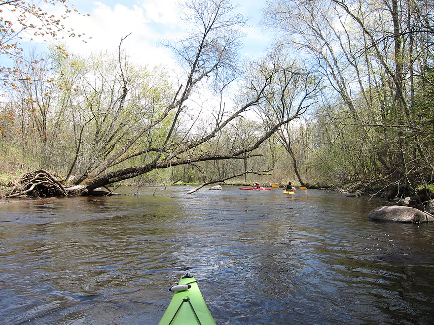
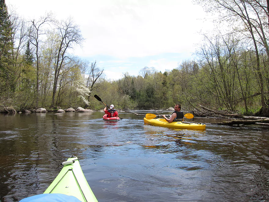
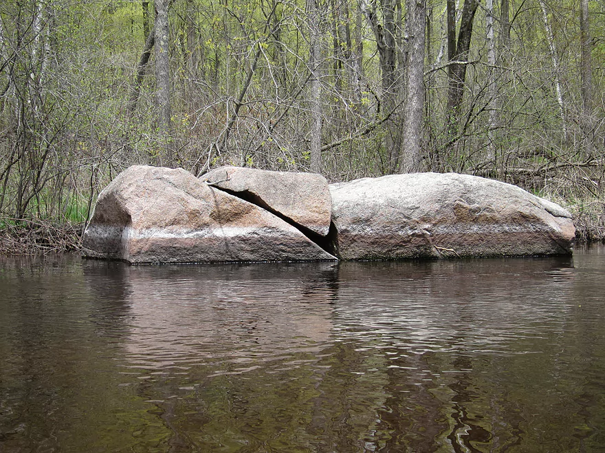
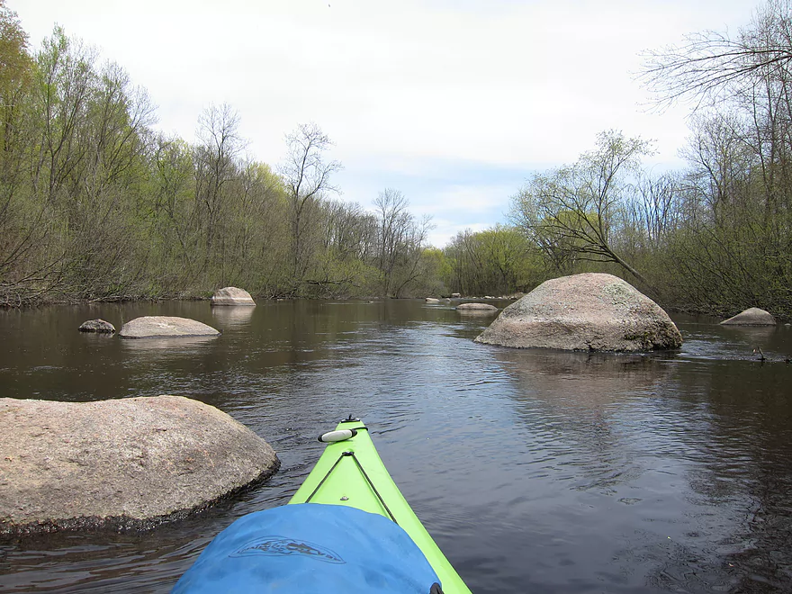
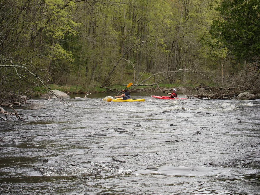
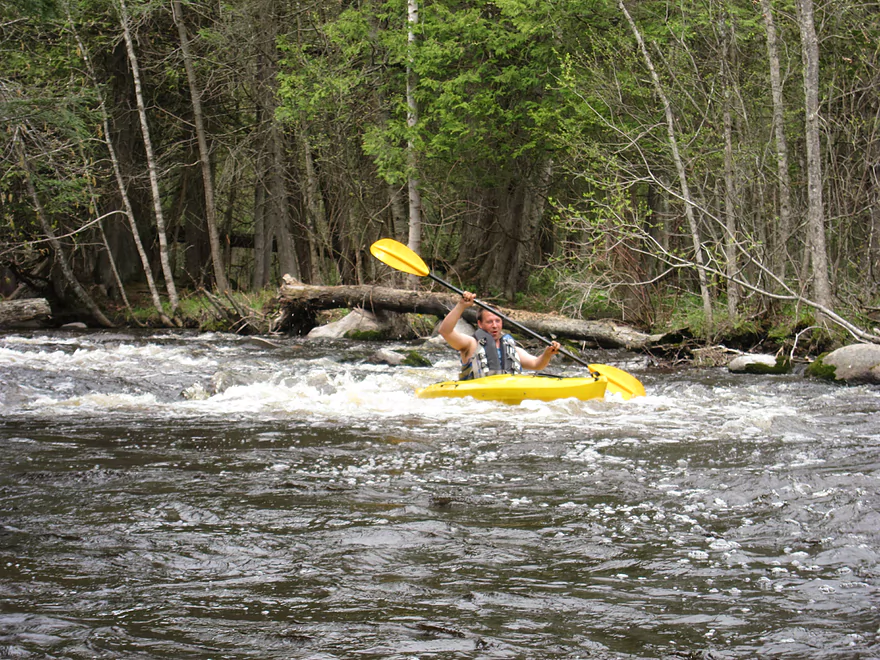
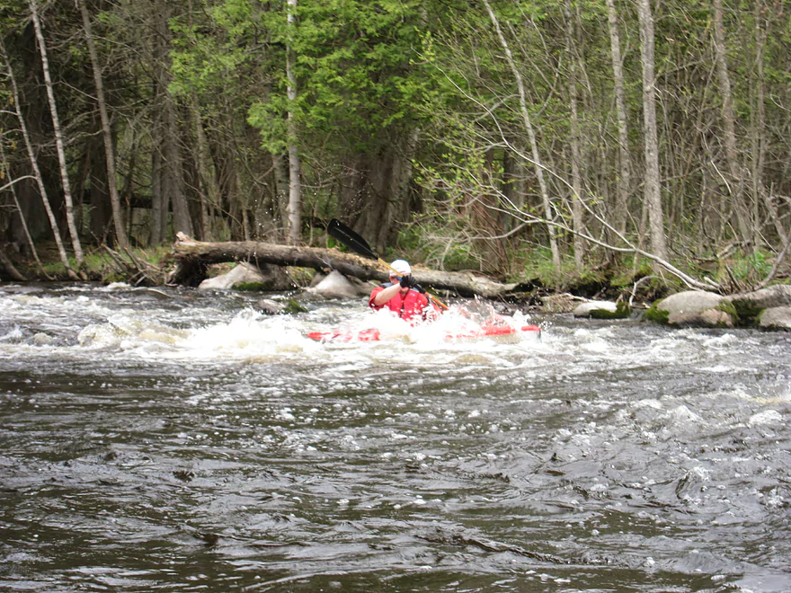
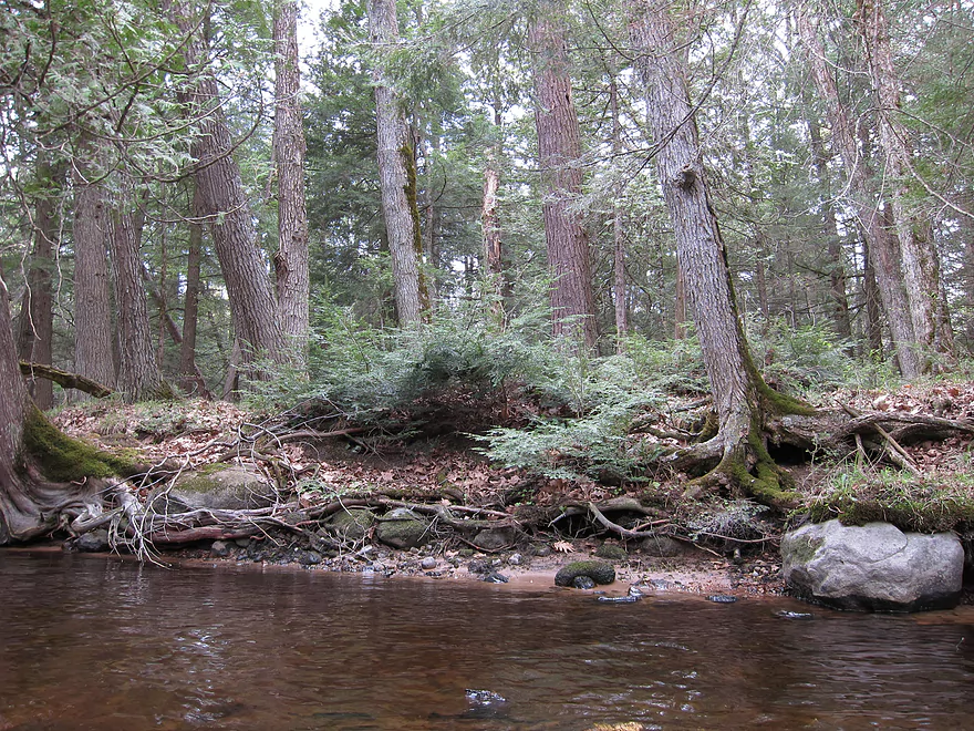
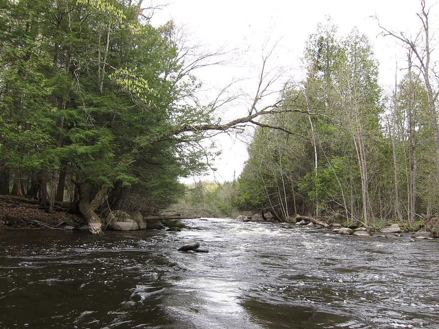
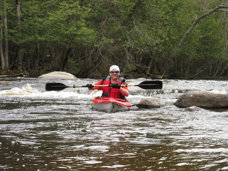
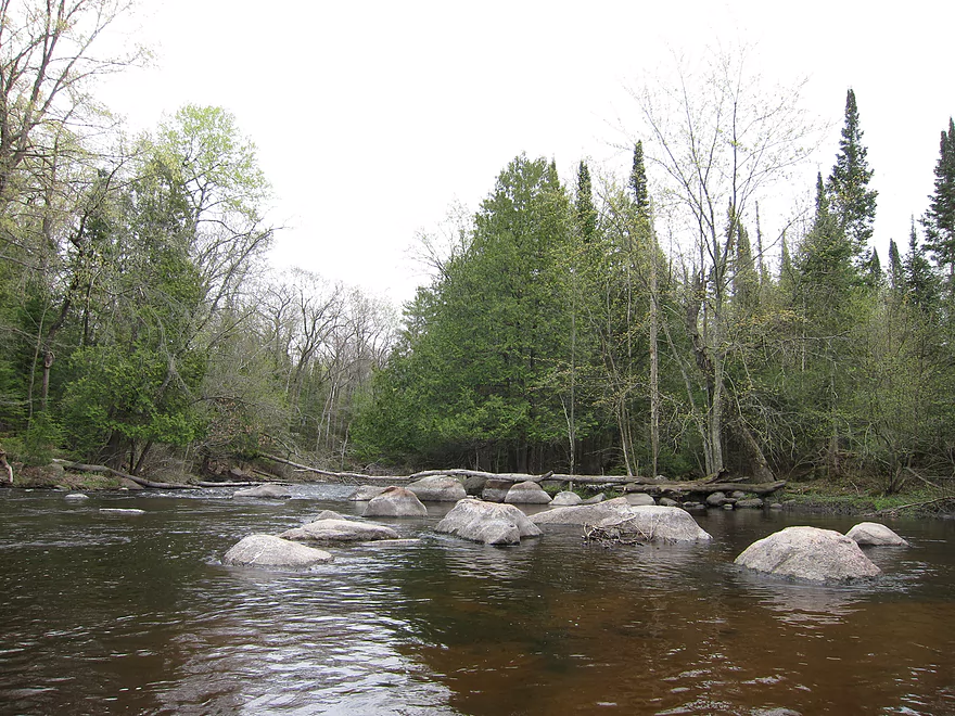
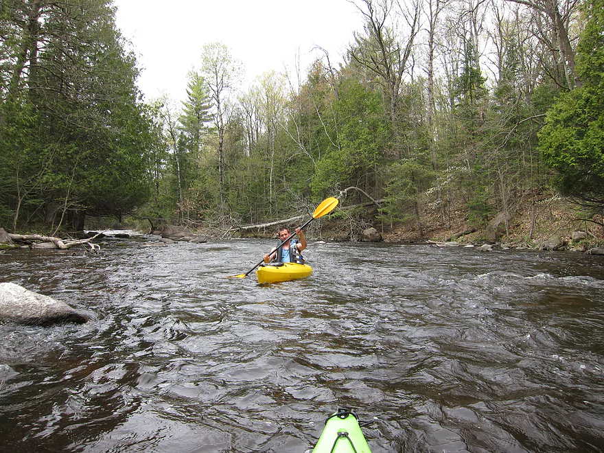
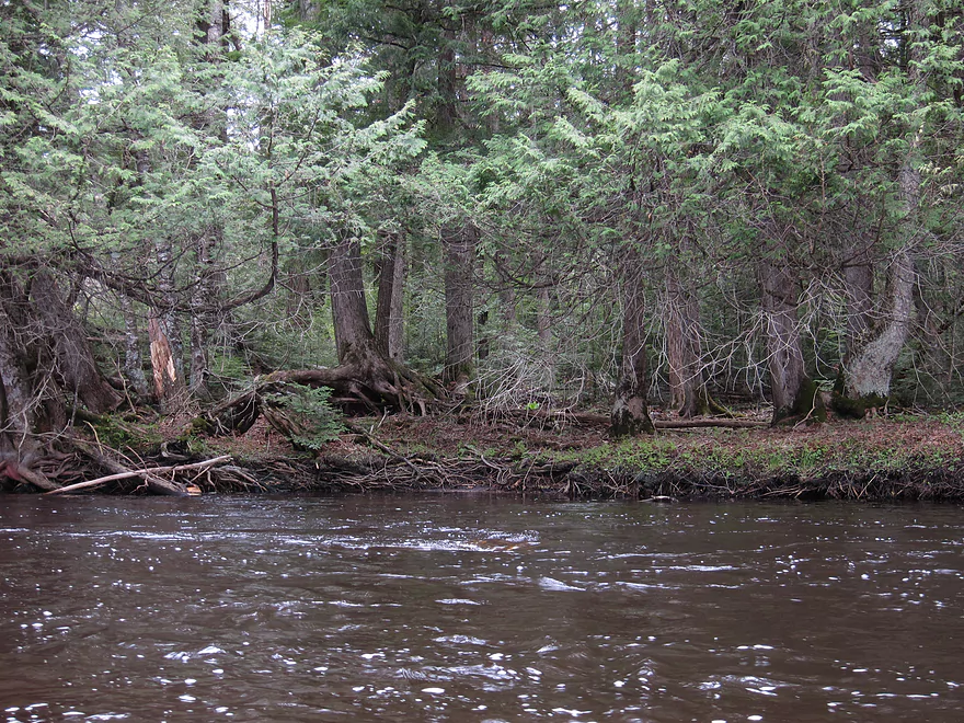
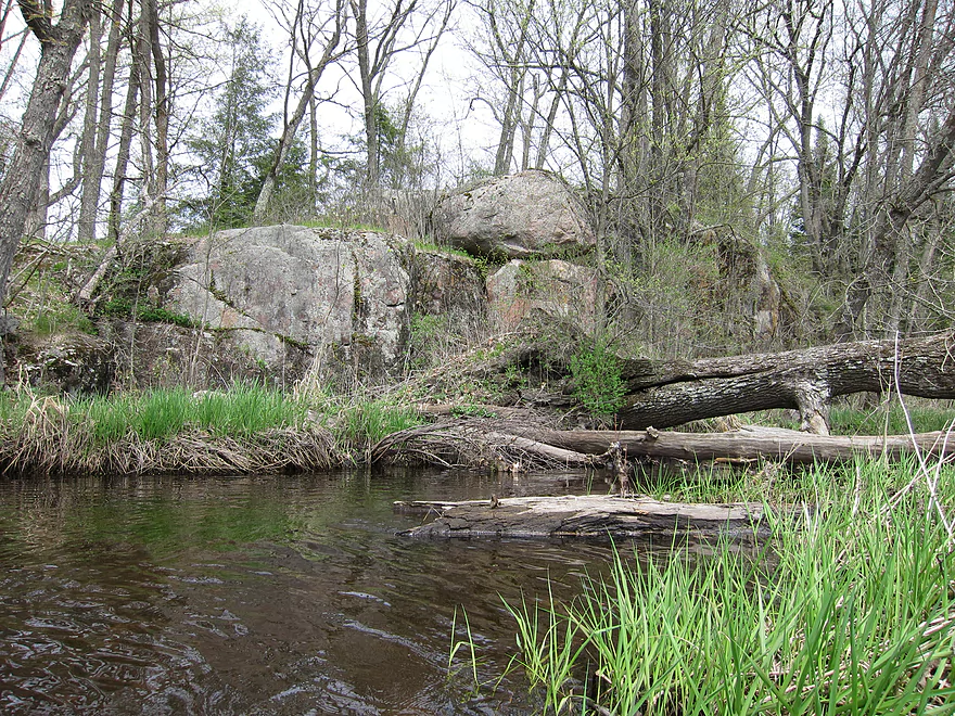
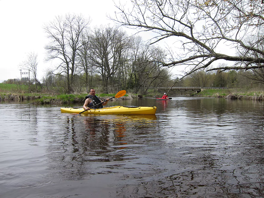
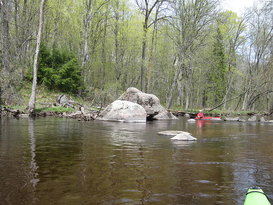
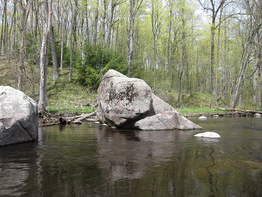
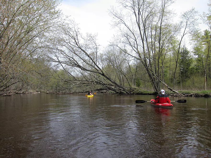
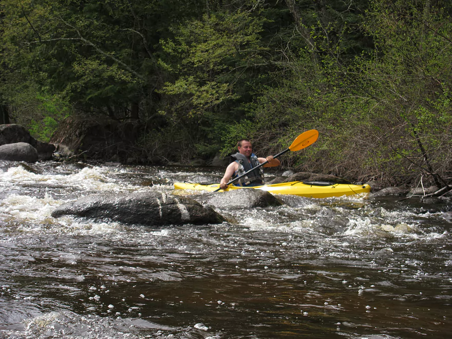
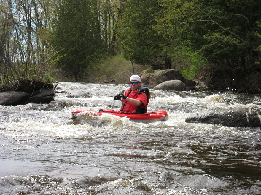
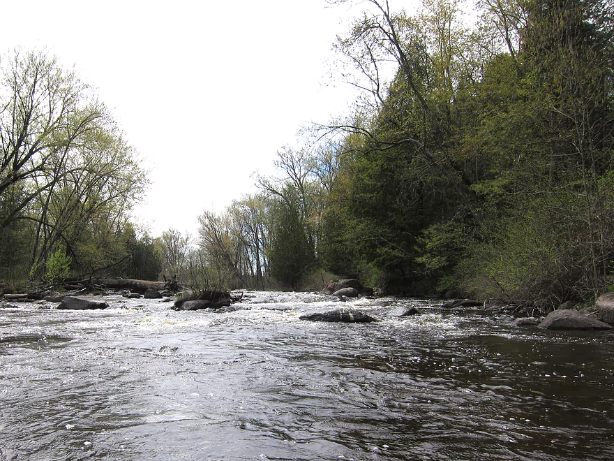
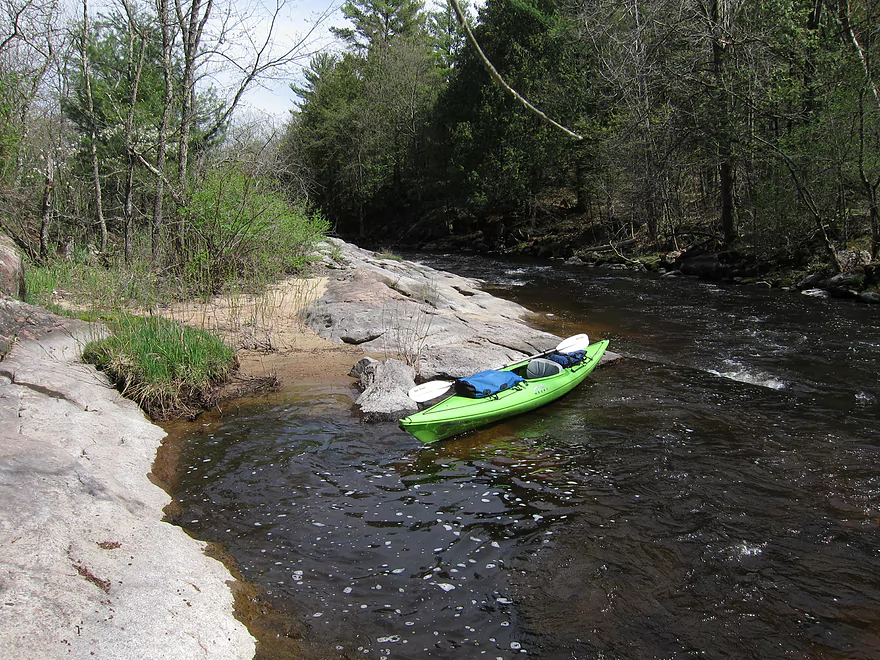
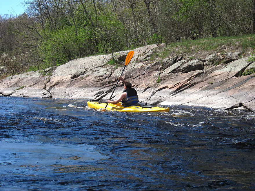
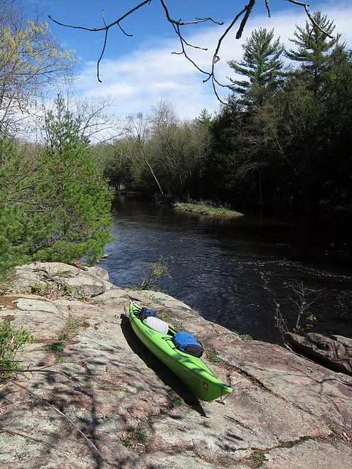
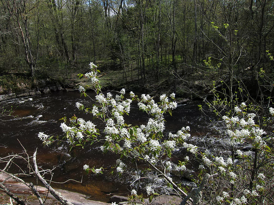
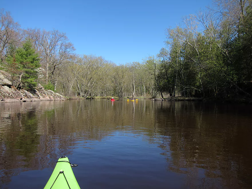
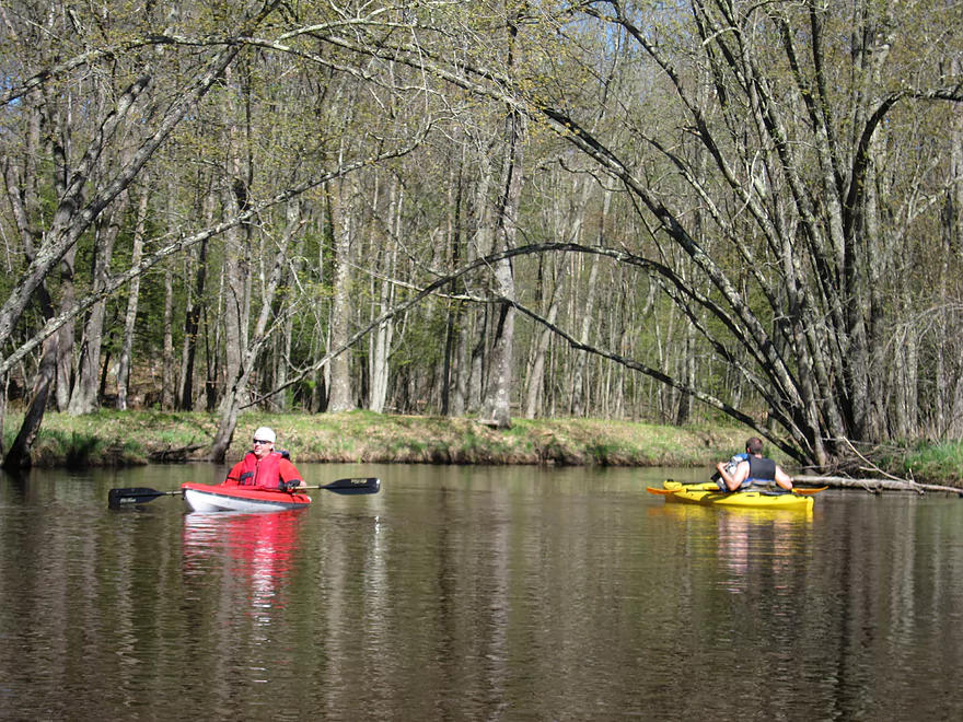
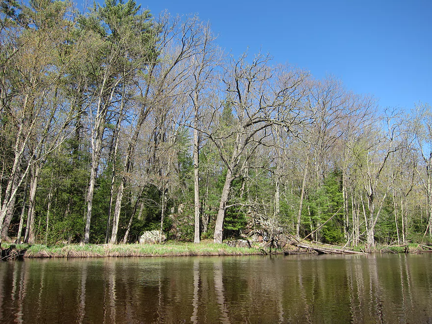
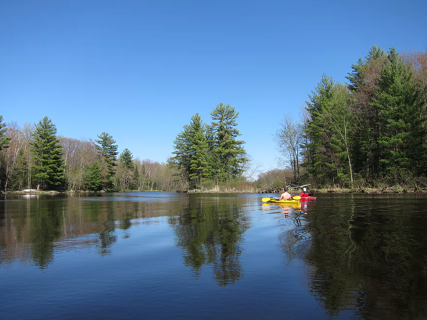
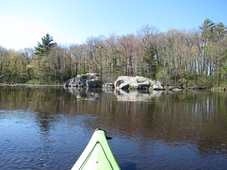
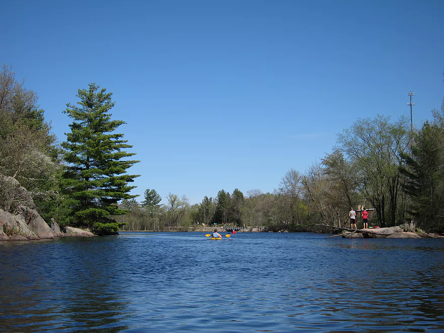
The Little Wolf is one of the nicer rivers I have kayaked. It has very nice scenery. The forest is healthy and filled with ferns, hemlocks, and wildflowers. Bird life is abundant. There are several boulder gardens with some very large boulders. Throughout the stretch, there were numerous riffles and a couple of rapids to provide excitement. The rapids were fun without being dangerous. All of us took on water at some point, but nobody capsized.
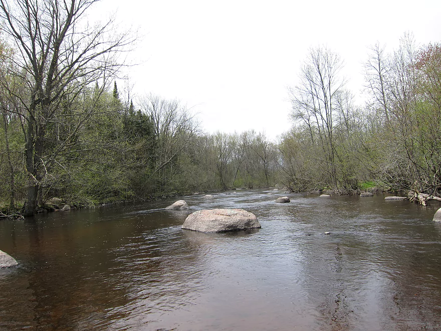
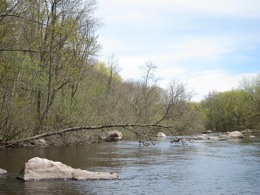
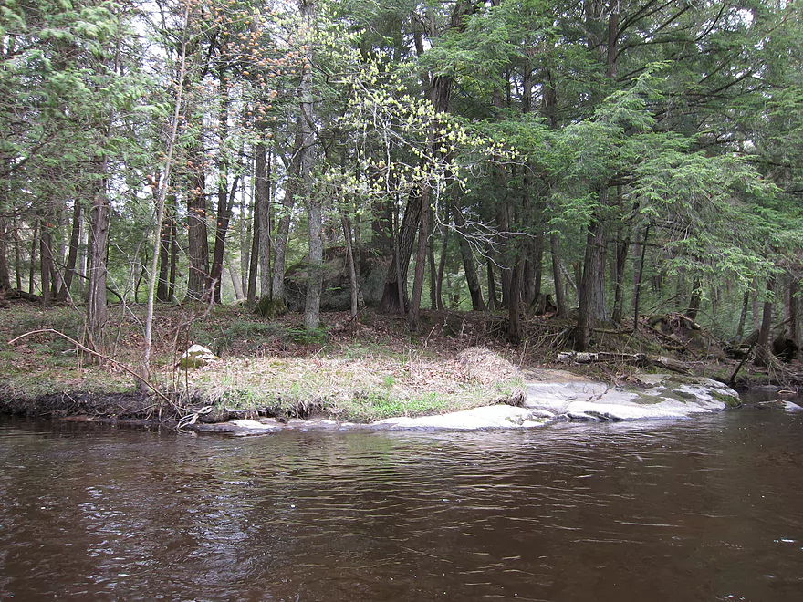
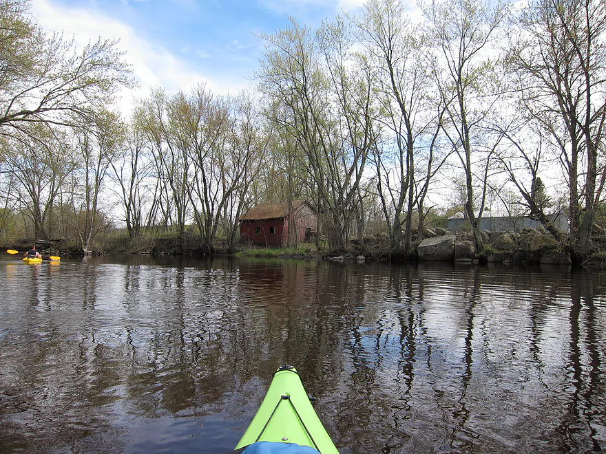
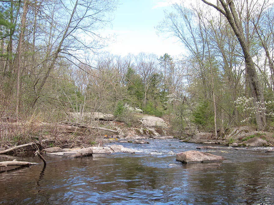
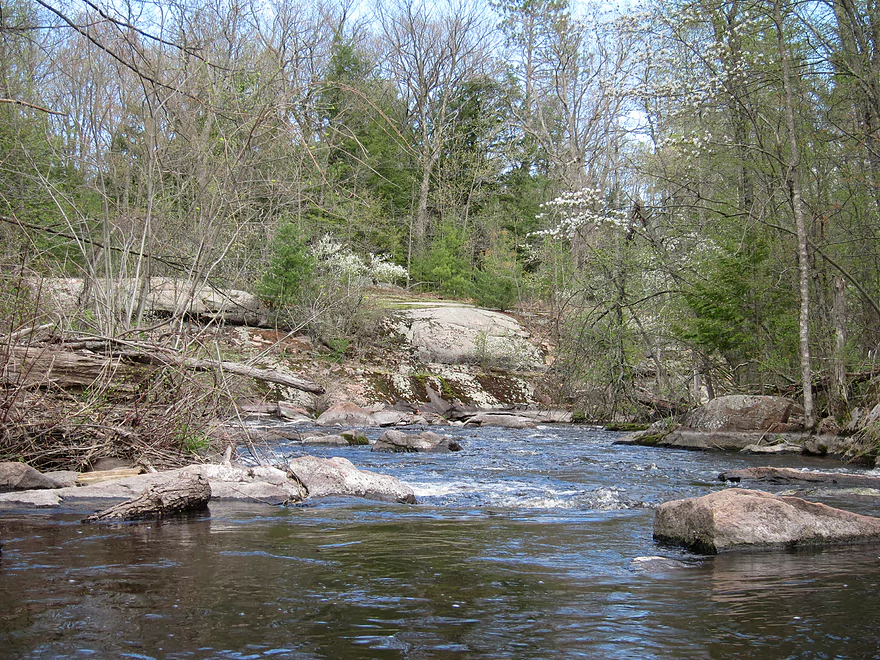
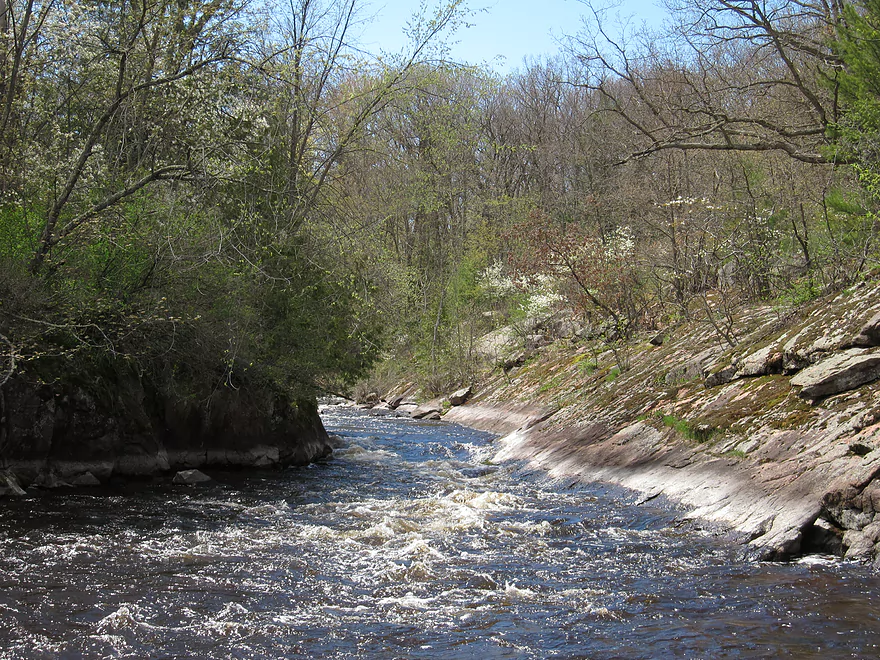
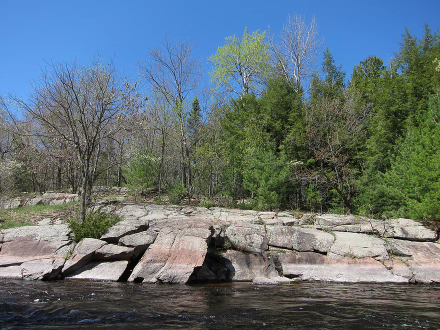
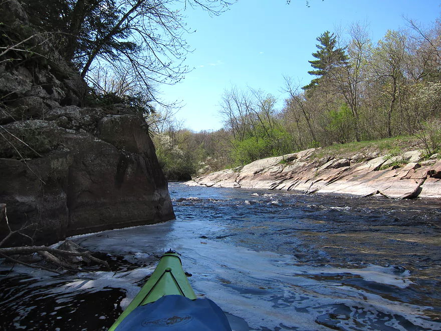
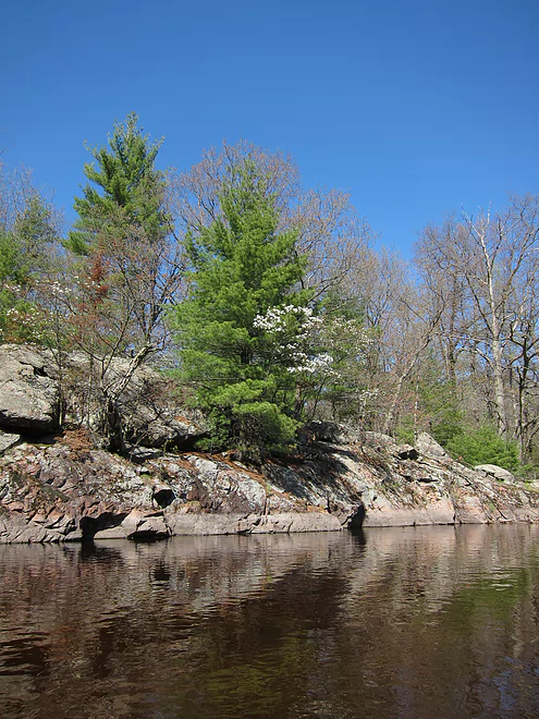
Toward the end of the stretch we did there was a very nice rock gorge (dells) that provided some cool scenery as well as some rapids. There are several small but nice bluffs afterwards as well. Although the water quality was good, the river itself didn’t seem to have much plant or animal life in it. There wasn’t much to complain about. There were several private homes along the stretch, and the river paralleled the highway for a little bit. Most of the stretch was civilization free though.
After passing the rock gorge, the river began to slow down and widen as it approached the dam in Big Falls. Where the river begins widening out, the water was barely deep enough to kayak. Overall, a very nice river. We scraped and bumped a lot of rocks, so I would not recommend bringing a nice kayak. During periods of low water, this river would be difficult to navigate due to the rocks. The put-in and take-out locations were easy to find and convenient.
Webmaster note: While I have done all the other reviews on this website, this one was done by my brother. I do end up running and reviewing this section a year later and I highly suggest reading the review here as it has updated information on the river.
Second webmaster note: New in 2017, “Big Falls Kayak Rentals” will now service the upper portions of the Little Wolf.
Detailed Overview
- Wolf River Road to Ness Road: (3.0 miles) Very narrow, heavily wooded, shallow in spots, and very rocky. Maybe 2 logjams. This is an intriguing prospect on my todo list.
- Ness Road to Wolf River Road: (2.5 miles) A good trip with clear water, boulders, and a few easy rapids.
- Wolf River Road to Big Falls Dam: (7.7 miles)
- Wolf River Road to Hwy J: (3.6 miles) Scenic section with some strong Class 2 whitewater. Good put-in.
- Hwy J to Big Falls: (4.1 miles) Also scenic and with whitewater, with perhaps a Class 3 by the Dells. Good launch by Hwy J.
- Big Falls Dam to Big Falls Powerhouse: (700') This is a steep chute of exposed granite that can create Class 4 rapids when it has sufficient water. But typically the dam penstock robs Big Falls of 99% of its flow. Access to the top of the falls is available from either the east or west shore.
- Big Falls Powerhouse to Kretchner Road: (4.4 miles)
- Big Falls Powerhouse to Little Falls Park: (1.7 miles) This is a good stretch with the highlight being a 2000' stretch of rapids.
- Little Falls Park to Hwy C: (0.3 miles) Features a Class 2 under a bridge, and then a 1500' stretch of boulders and Class 1 rapids. Hwy C isn't a great bridge access.
- Hwy C to Kretchner Road: (2.7 miles) Just below Hwy C is a series of rapids including a Class 3 that runs through a scenic gorge. After that the river slows down and becomes less interesting
- Kretchner Road to Hwy 110: (4.3 miles) A great leg with many scenic boulder gardens. Rapids on this stretch are mild and suitable for beginners. While nice, this leg isn't as terrific as Little Falls or Big Falls legs located upstream.
- Hwy 110 to Hwy 22/Symco: (8.0 miles) Unimproved bridge put-in but should be ok. This section likely has some deadfall issues (not sure how much though).
- Hwy 22/Symco to Manawa Dam: (5.9 miles)
- Hwy 22/Symco to Bridge Road: (2.0 miles) Looks like a nice section with some rapids and boulder gardens near Symco. Good put-in at Symco.
- Bridge Road to Manawa Dam: (3.9 miles) Likely a mediocre section with some flowage paddling at the end. Some of the flowage paddling can be avoided by taking out at Waupaca Park. Bridge Road is a good put-in.
- Manawa Dam to Road Bb: (3.9 miles)
- Manawa Dam to Hwy B: (1.9 miles) Honestly an uninteresting section with slow current and bland flood-bottom woods. Aquatic weeds are an issue (thanks to the Manawa Septic plant). River does get a bit more interesting after the railroad tracks and features a small boulder garden.
- Hwy B to Hwy 110/B: (0.9 miles) A good stretch with some boulder gardens and good clarity. There are Class 2 rapids by the "Rapid View" island.
- Hwy 110/B to Road Bb: (2.1 miles). A great stretch with several impressive boulder gardens and a few minor rapids.
- Road Bb to Hwy X: (7.6 miles)
- Road Bb to Royalton: (3.5 miles) Very good put-in. Nice clarity and boulders until the South Branch joins (almost doubling the river). Very nice boulder garden and rapids 2/3rds in.
- Royalton to Ostrander: (2.7 miles) After the brief rapids under Hwy 54/O, the Little Wolf goes back to sleep, with pleasant but monotonous scenery (the highlight being sporadic boulders). Finally, maybe a half mile prior to Ostrander Road, there is another set of rapids (Class 1) and an attractive boulder garden. Paddlers will have to deal with many tubers.
- Ostrander Road to Hwy X: (1.4 miles) Busiest tubing section probably in the state. Very nice boulder gardens and rapids at end. Public landing NE of Ostrander Road.
- Hwy X to the Mouth (Junction at Wolf River): (2.0 miles) Part of the Mukwa Bottomland Forest SNA
- Mouth to Dey Road/Shaw Road Boat Ramp: (0.8 miles) A short stretch on a now large Wolf River.
Trip Map
View Little Wolf in a larger map
Overview Map
Video
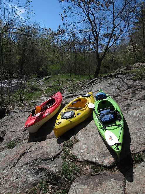
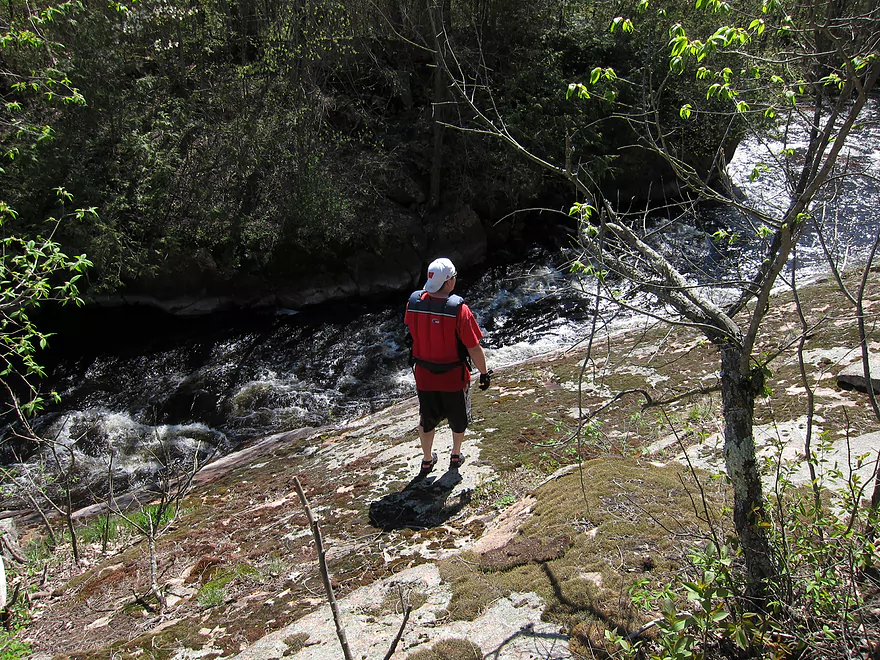
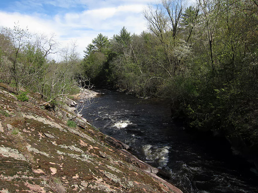
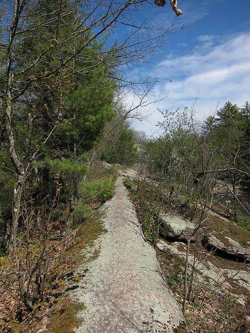
Photos Size: