
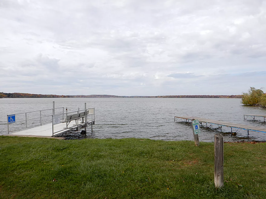
Putting in by the dam at Lake Mason
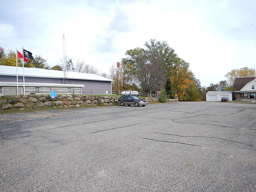
Parking is available a block to the north by the fire station
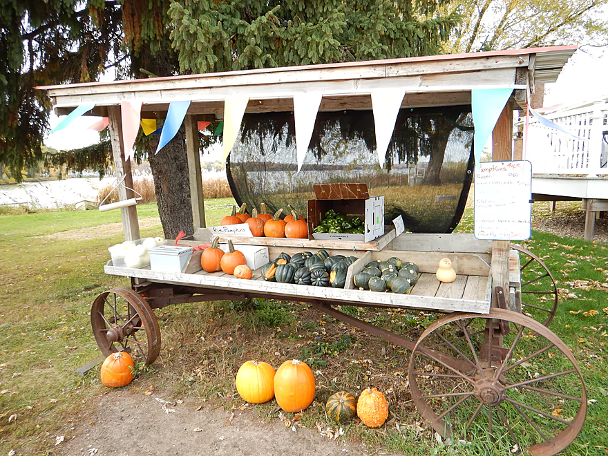
An Amish organic produce stand by the landing
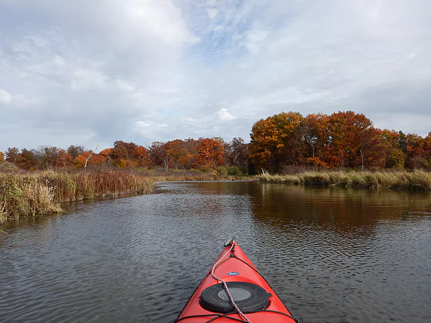
Put-in is just below the dam
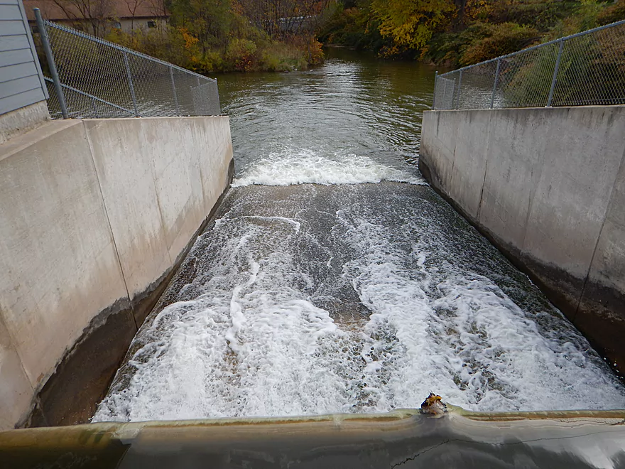
Lake Mason dam
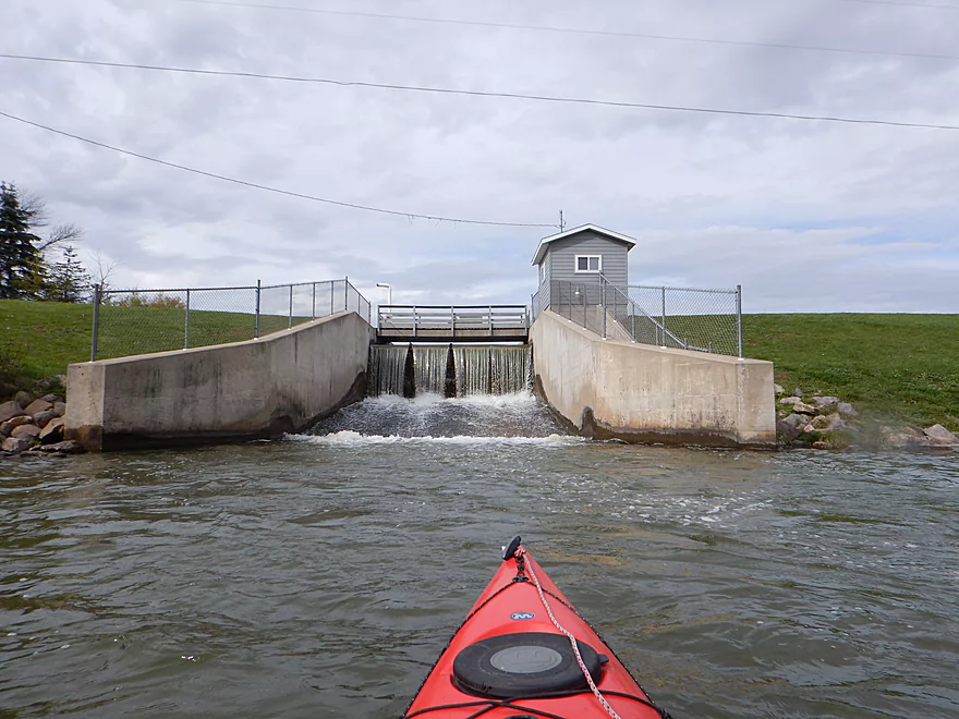
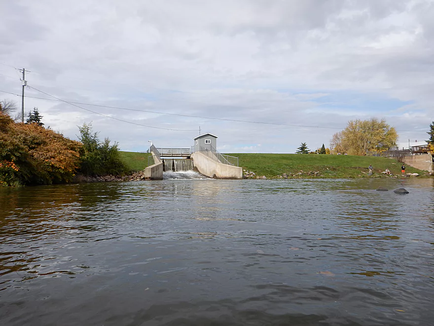
Reverse angle showing dam and put-in on right
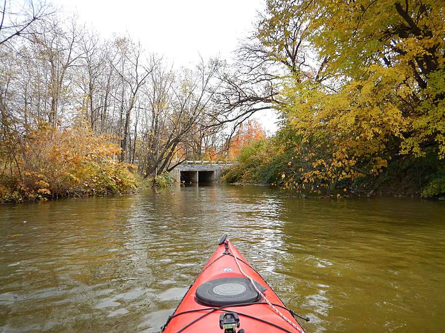
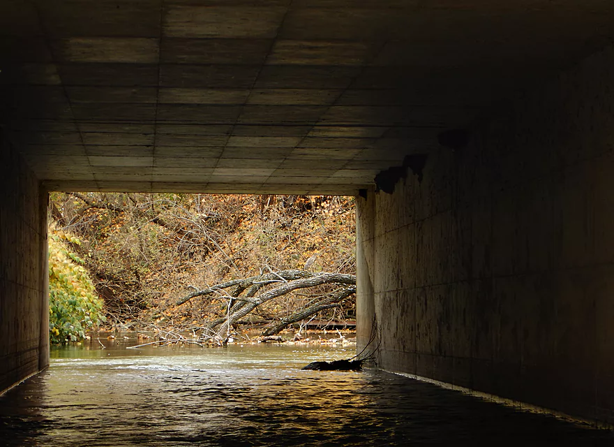
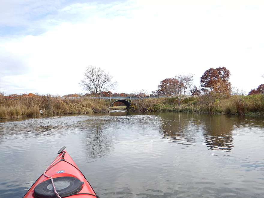
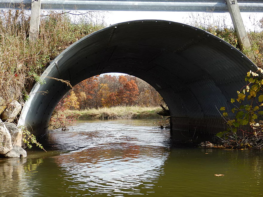
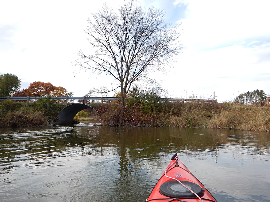
Hwy 23 bridge
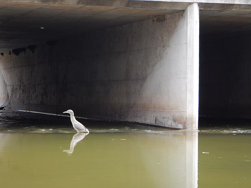
An immature black-crowned night heron
See if you can spot him now
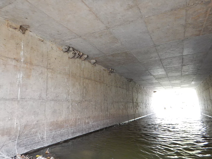
Cliff swallow colony
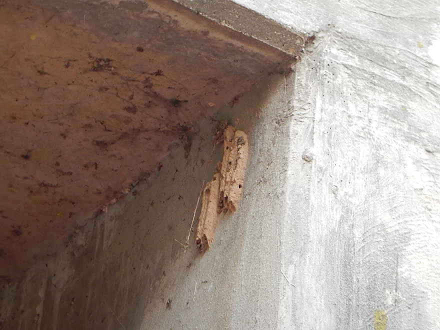
Mud dauber nests
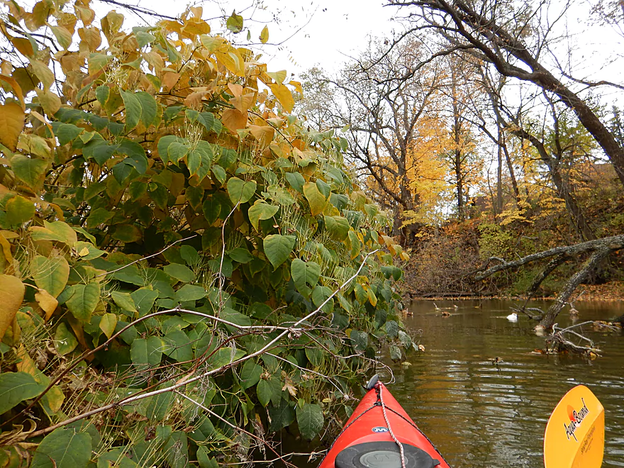
Japanese knotweed (domestic escapee)
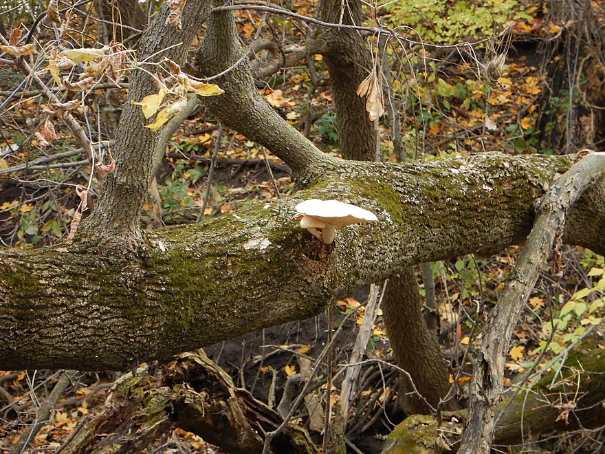
Friendly fungus
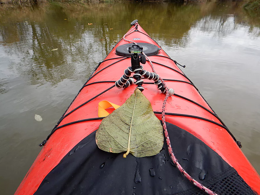
Huge catalpa leaf
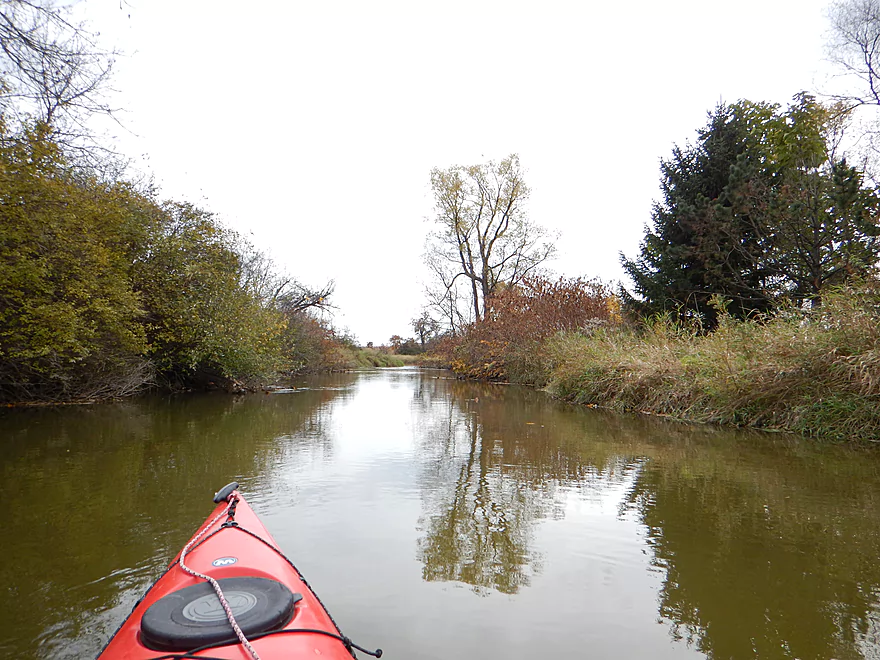
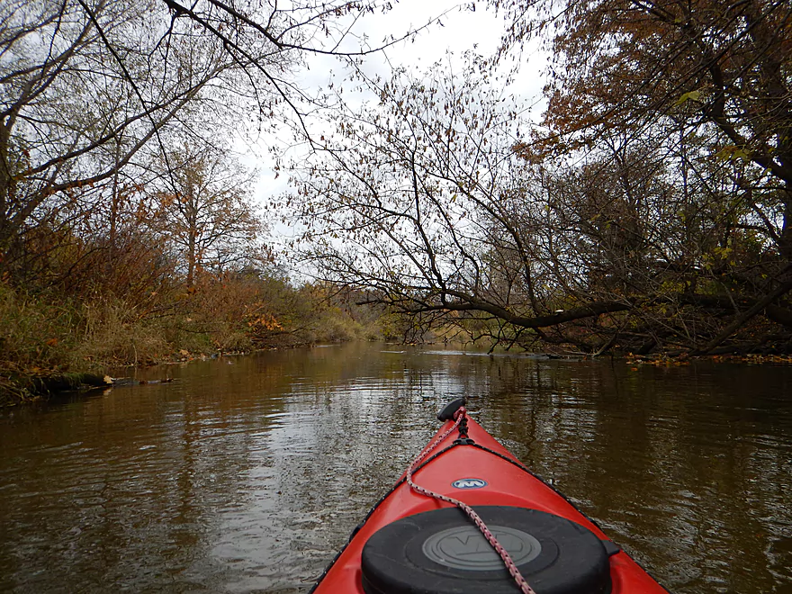
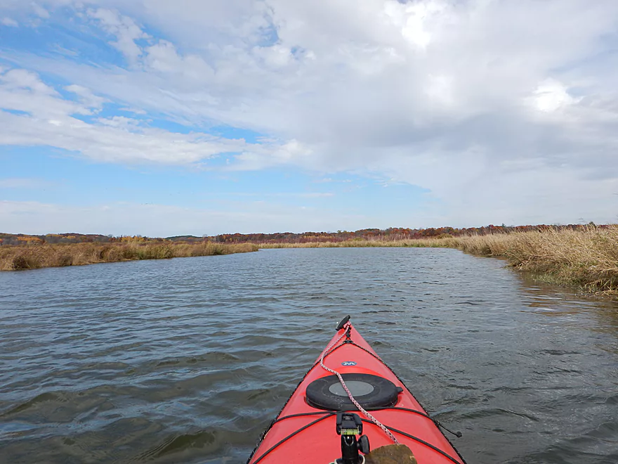
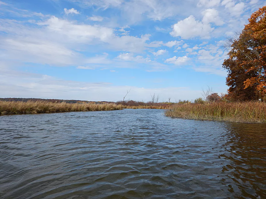
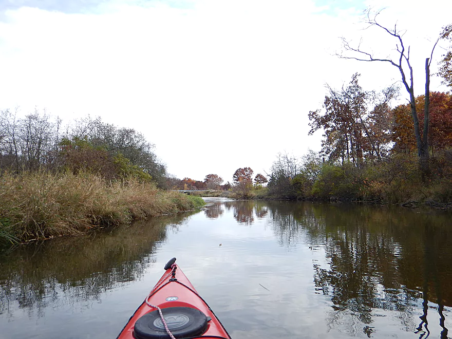
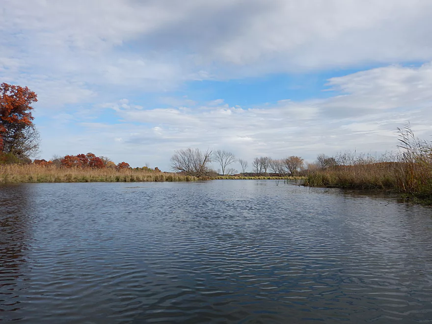
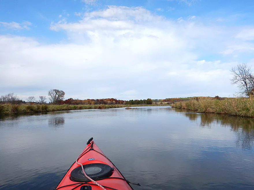
Creek really opens up past town
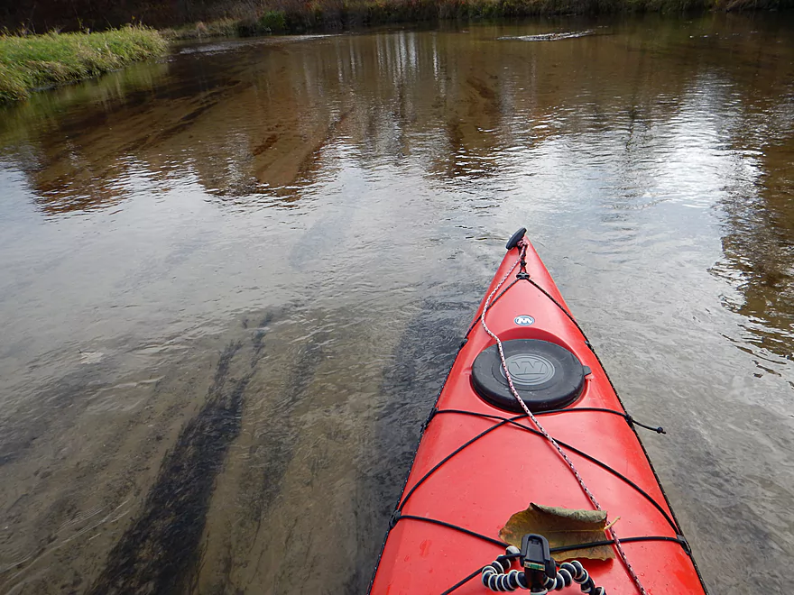
Decent water clarity
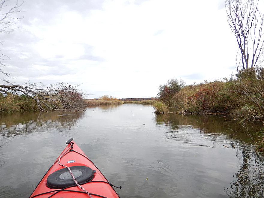
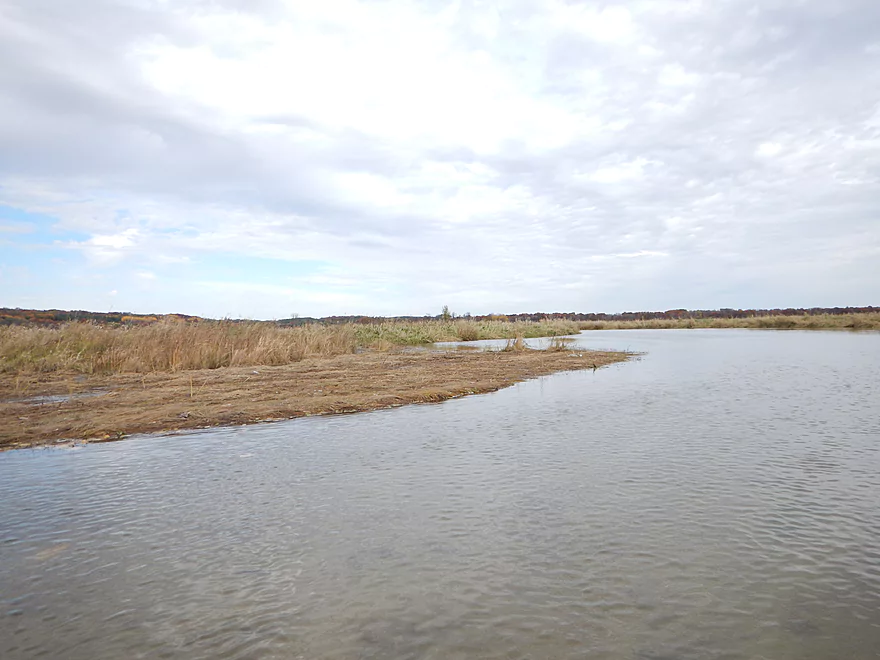
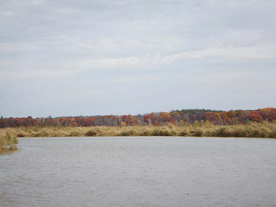
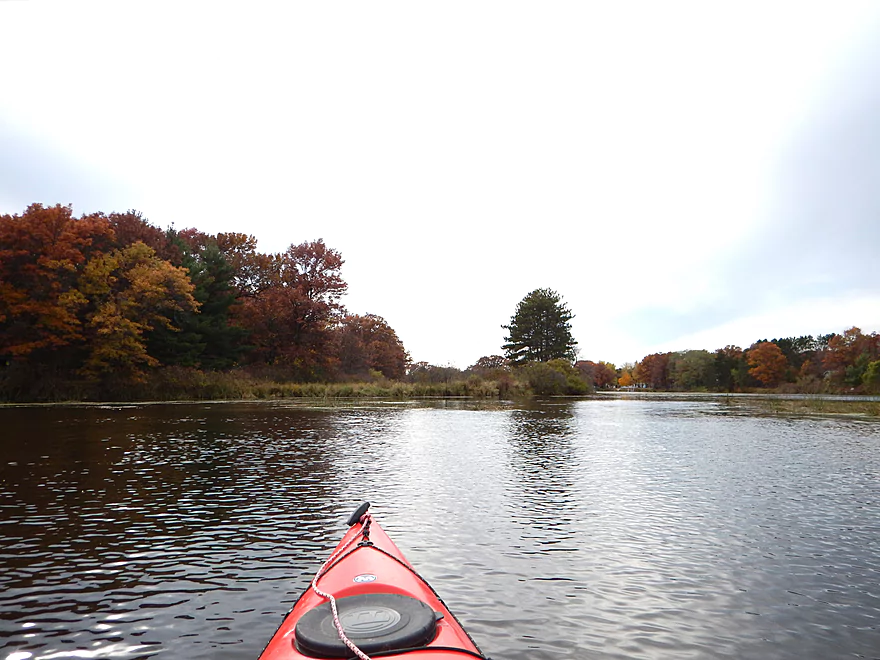
Looking back at Briggsville
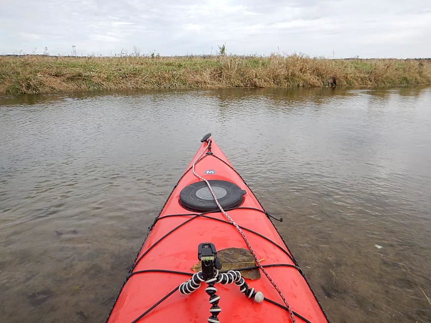
Goose nesting area
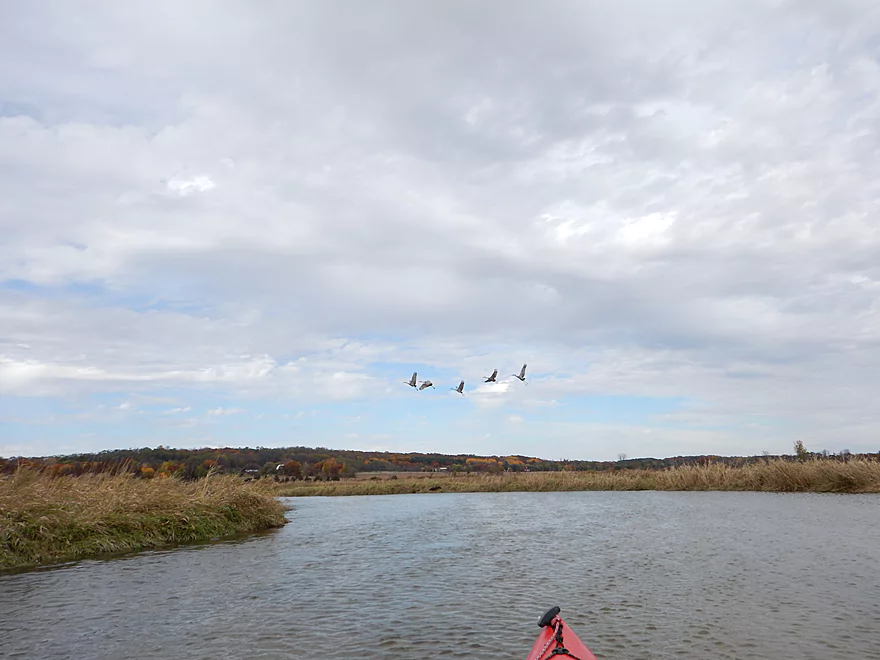
One of many cranes
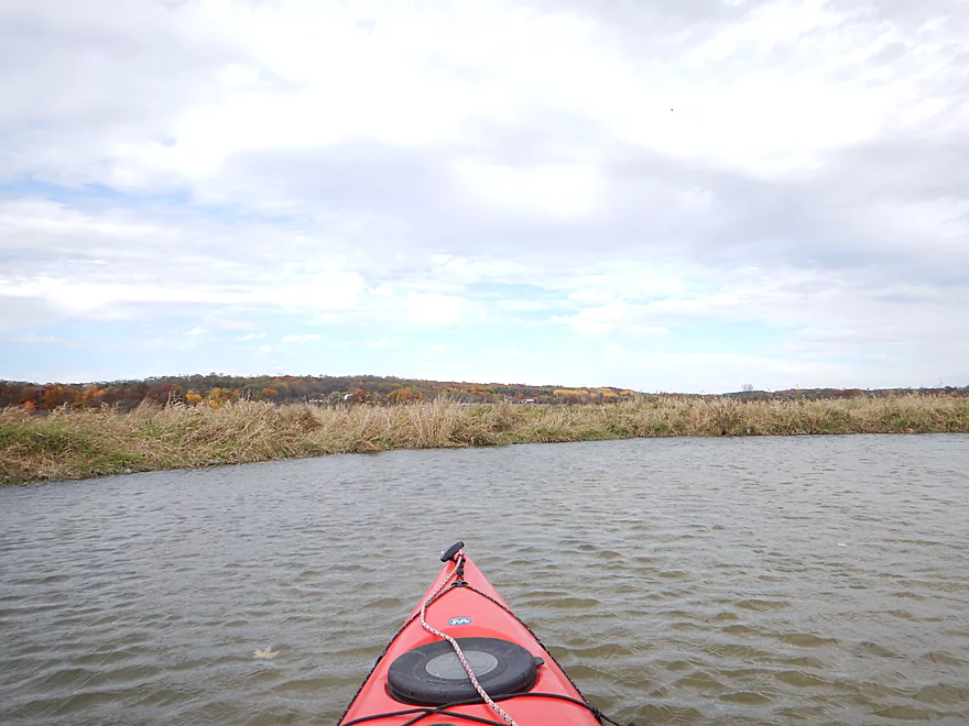
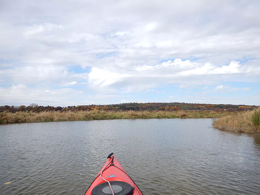
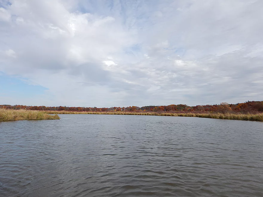
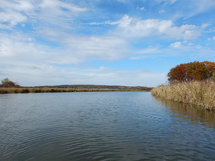
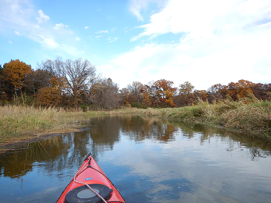
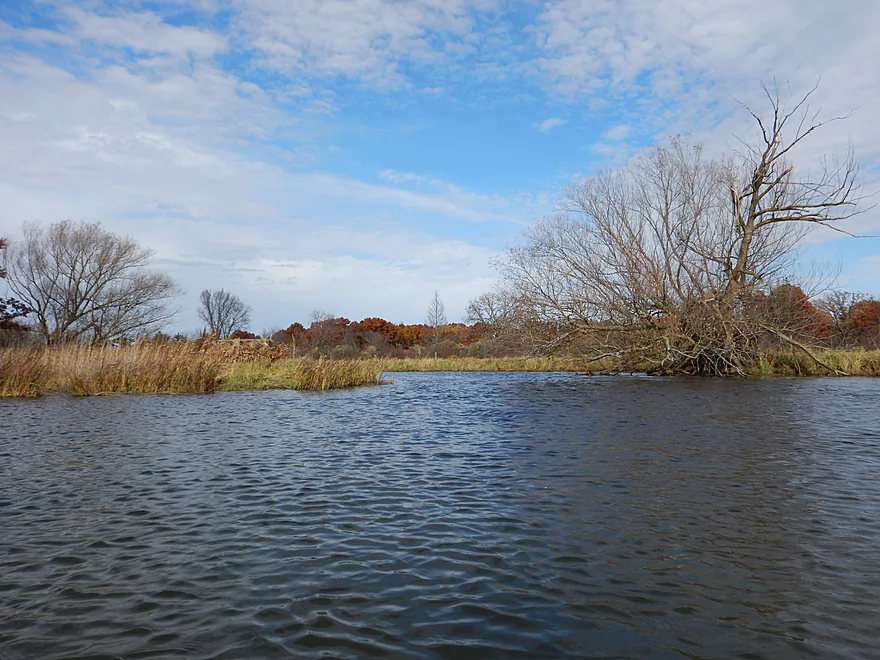
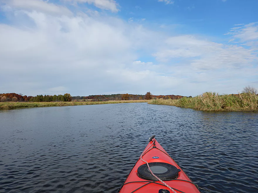
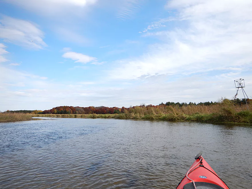
Nice views of the scenic hills
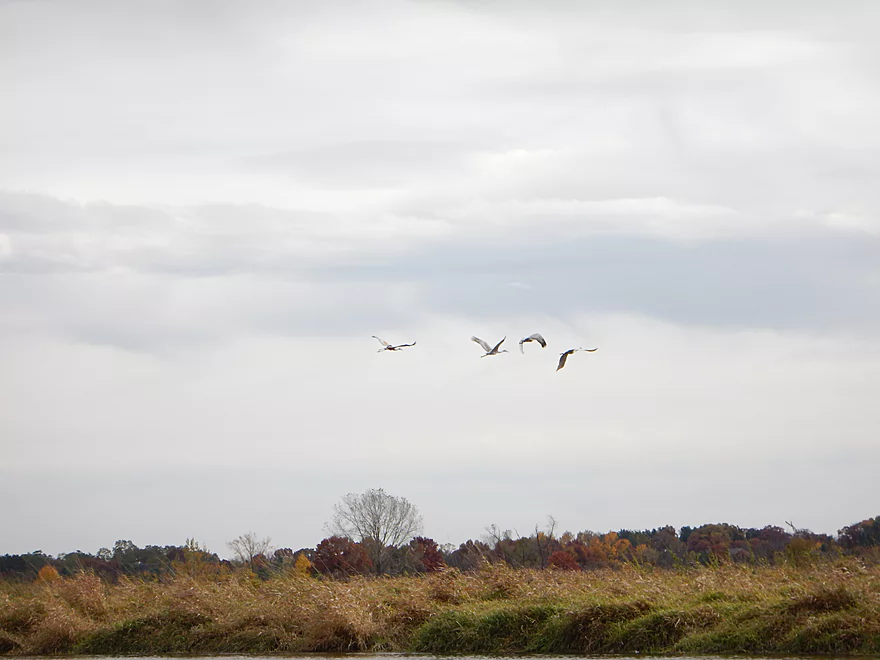
More cranes
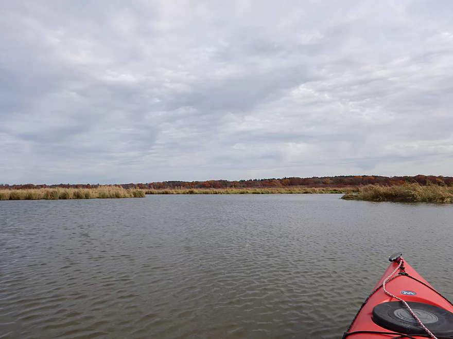
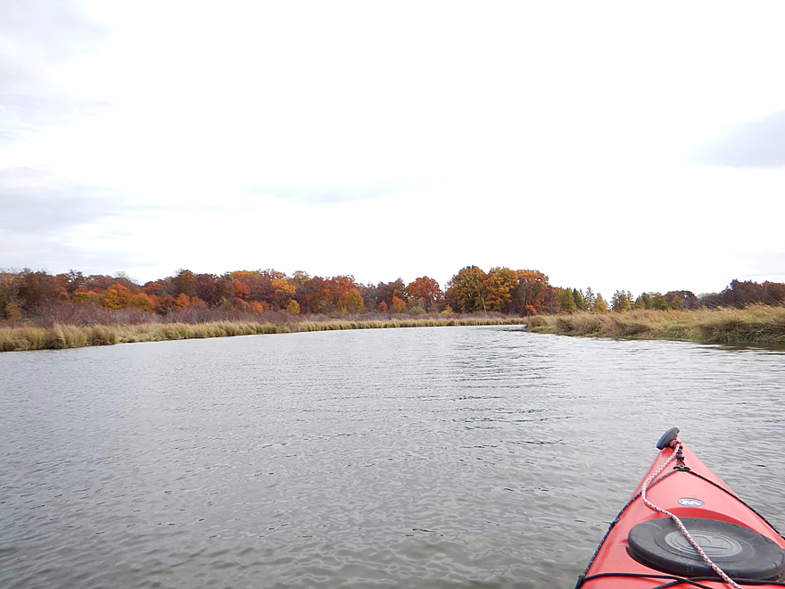
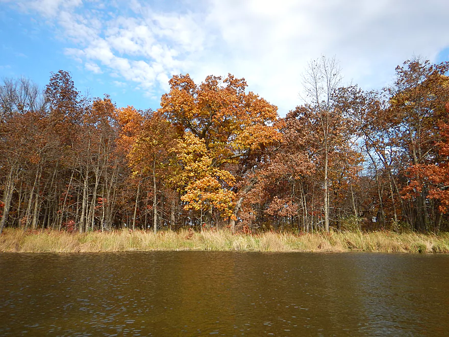
Still some good color
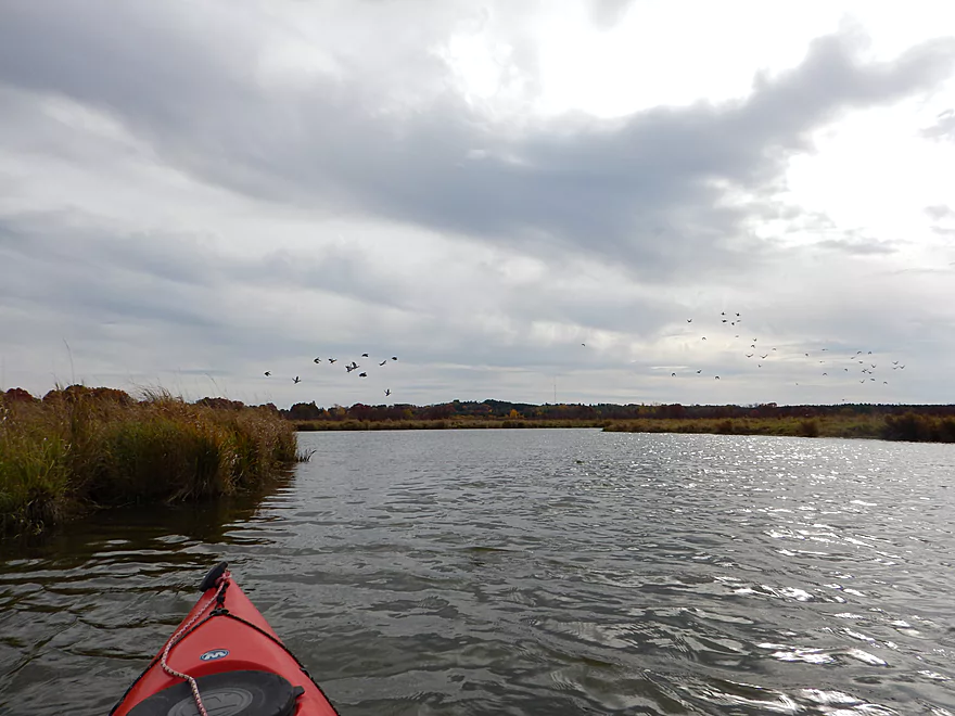
Large flock of ducks
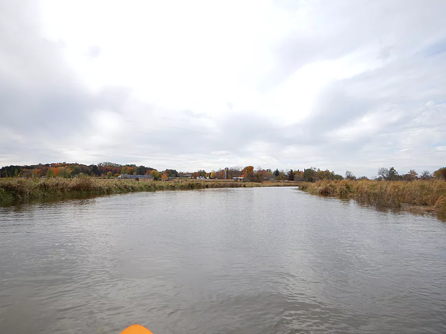
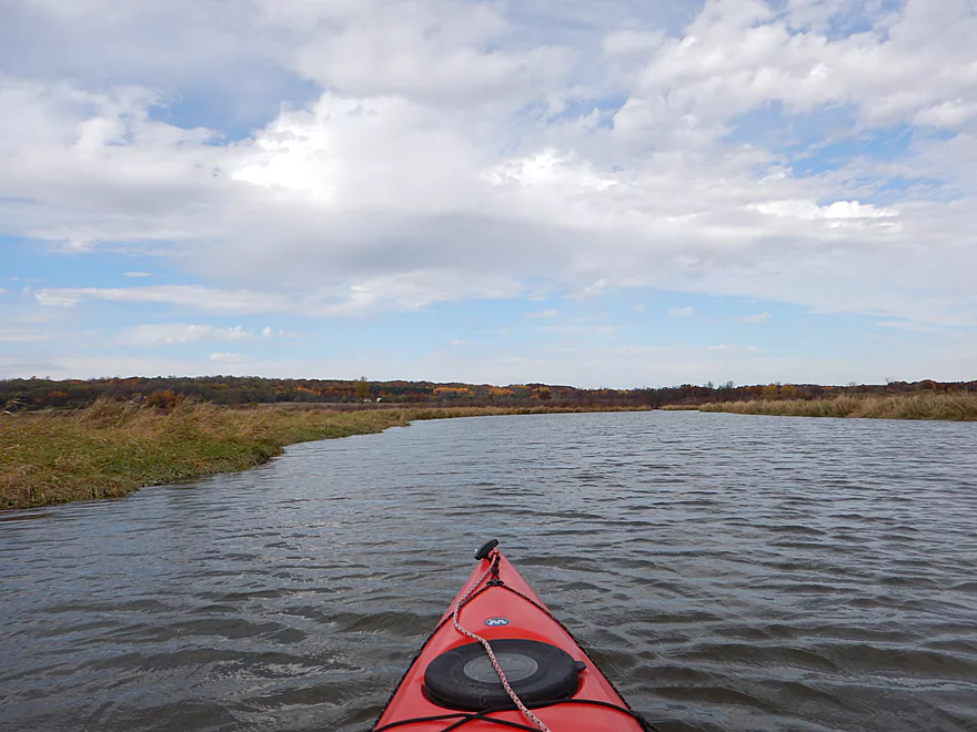
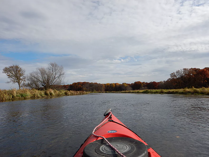
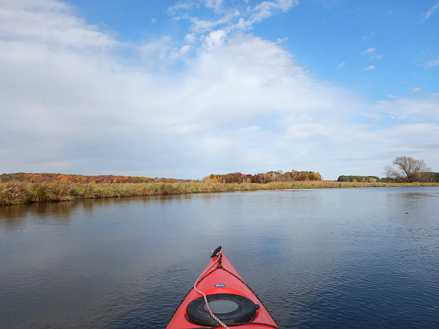
Channel starts to narrow again
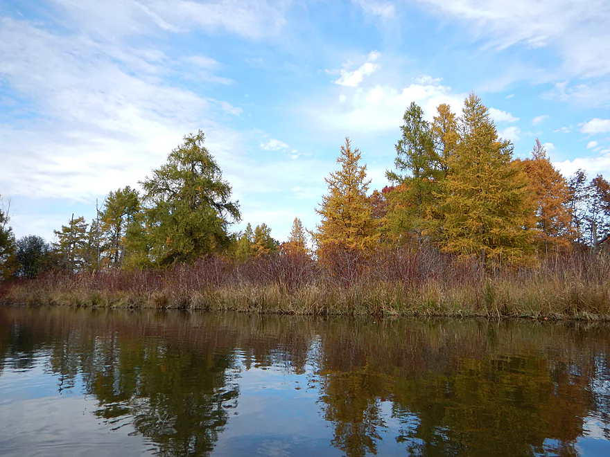
Gold-colored tamaracks, with red-osier dogwood in front
3rd Ave bridge
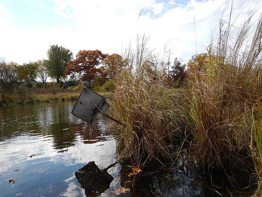
No tresspassing sign on the west side
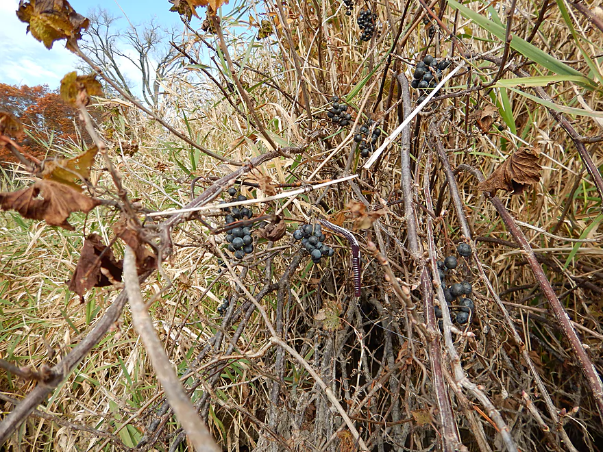
‘Wild’ grapes
The east side would be a suitable put-in
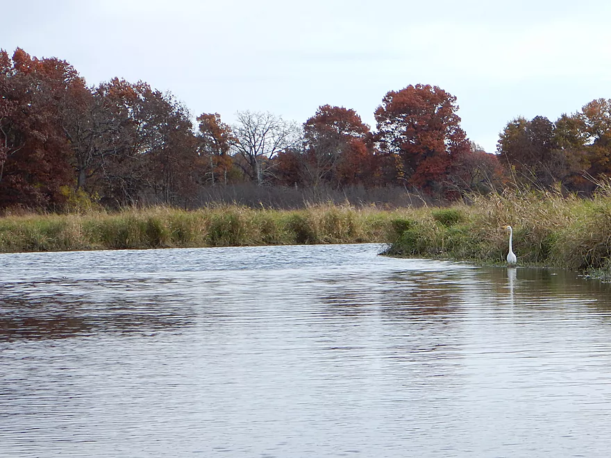
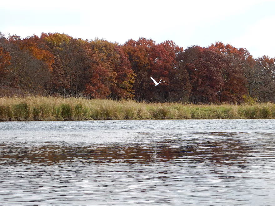
Great egret
The main branch of Neenah Creek enters from the left
Good water clarity on the main branch
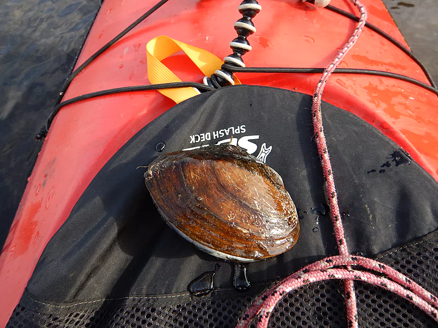
Mucket (type of clam)
Old hunting blind
Your off-ramp is Big Slough
Boring, but upper Big Slough is nice
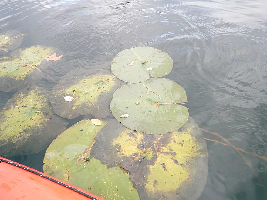
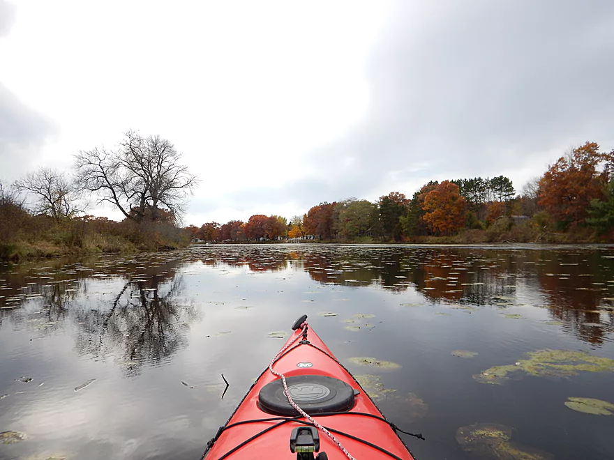
Lot of lillies…
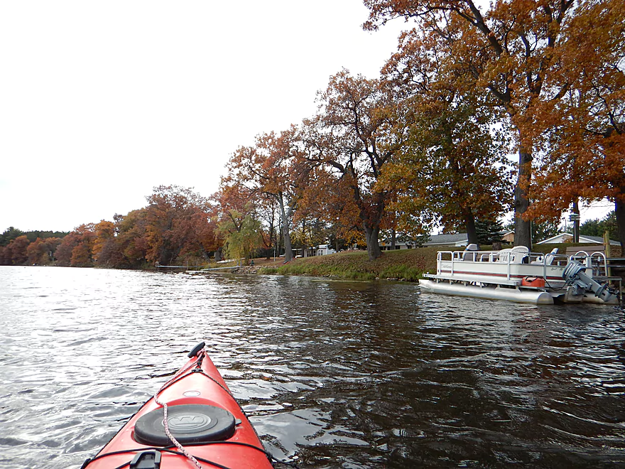
An undammed creek that supports pontoons!
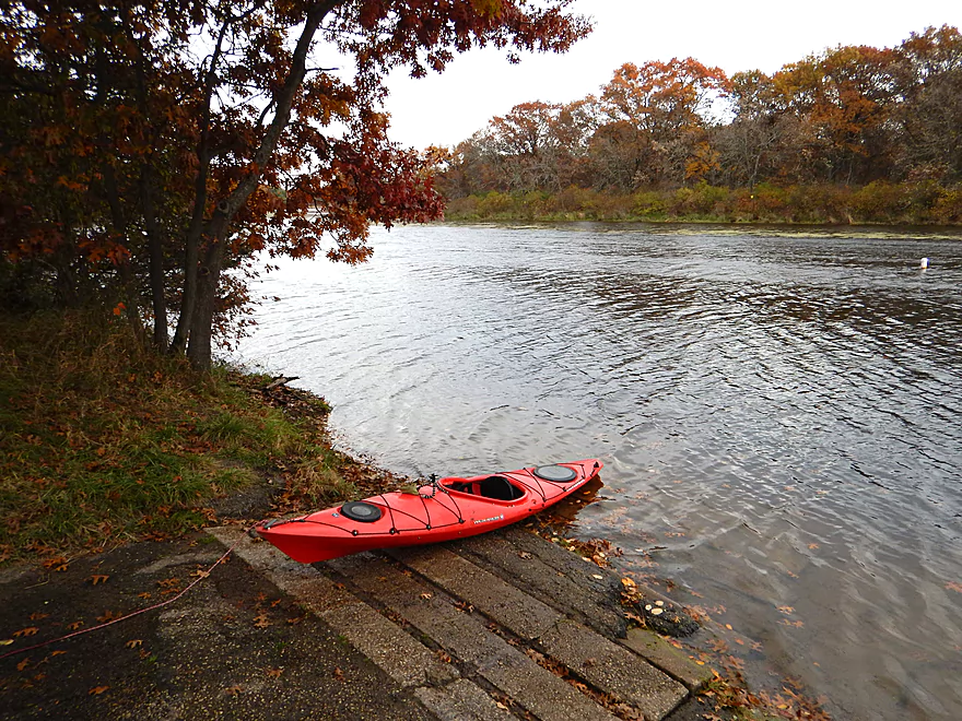
Good take-out on Big Slough
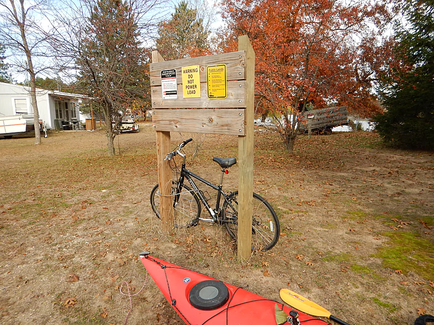
Nice hitching post for my trusty steed
Neenah Creek – South Branch


A pleasant wetland paddle that is rich in waterfowl, but could use a bit more current to liven things up.
Access is located just below the Lake Mason Dam and Flowage in Briggsville. There is a boat ramp just north of the dam which serves the lake, but you can drop off your kayak here and drag it down the grassy embankment to put in below the dam. Parking is not really permitted by the boat landing, but there are signs that indicate you can park in the fire station parking lot a block to the north, which is very manageable. One sign indicated there is a fee to use the boat landing, but technically, you will not be using it, so you should be okay. No facilities, but there is a nearby gas station.
I know of no livery services for this creek (wouldn’t be a bad idea to have a livery for Neenah Creek and the Upper Fox though). Pretty easy peasy bike shuttle though. Some hills, but low traffic. Just 2.6 miles.
Because the headwaters are largely spring-fed, I suspect this is a fairly consistent creek and is probably never too low to paddle (although it does get too high after a lot of rain). For my trip, I had plenty of padding and really, the only (very minor) shallow spots were actually on the bigger Neenah Creek. Current starts average, but gradually slows down until the confluence with Neenah Creek (which isn’t super speedy either). Big Slough (well, the small section I did) has no current. Gradient for the trip is a mere 2.3′ per mile, so for some this might be boring.
Decent water clarity but not fantastic. Substrate is mostly sand with some mud.
This is a fantastic stretch for seeing waterfowl. Saw more cranes here than on all my other paddles combined. There were also a lot of ducks, geese, egrets and herons. I suspect this is a popular nesting area in the spring.
You probably haven’t heard of this creek before, so I’ll try to orient you geographically. You have the Fox River to the east, flowing north from Portage. You have the main branch of Neenah Creek flowing north to south…then east…then north once it joins the Fox River. Neenah Creek is a big creek and has three main branches. The main branch comes from the north at Oxford. The main south branch is called Big Slough. The “West Branch” starts out as Big Spring Creek, then morphs into the Lake Mason flowage, and then finally gets renamed as the “South Branch of Neenah Creek” before emptying into the main branch of Neenah Creek. Why they didn’t call this the west branch of Neenah Creek, or just keep the name of Big Spring Creek, I don’t know. Confused yet? Don’t worry…it all makes sense on the map.
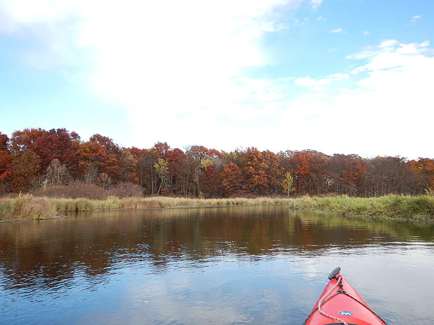
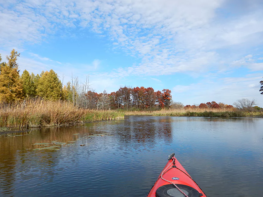
Trip starts off nicely enough below the Lake Mason dam as a pleasant float through the town of Briggsville. Here you’ll have the best current for the trip, whereas the remainder of the trip will be very slow. The creek opens up into a wetland area with grassy banks and nice vistas of the surrounding valley. The creek gets quite wide (for a creek) and this is a by-product of the shallow gradient. The highlights of the creek are the lack of development, sheer number of waterfowl and diversity (would make a great spring trip) and the decent water clarity.
The creek narrows by the 3rd Ave bridge and this is one of the better sections on the trip. Soon after, you’ll get to the mouth and join Neenah Creek. Neenah (well, the main branch) is a nice (and probably superior) prospect in its own right, with better water quality and a tad better current. It is quite different compared to the far upstream section I did earlier this year by Oxford though, as that was much faster and more diverse.
For taking out, the next access location on Neenah Creek will be Muskrat Road, which is a good access area for paddlers. I wanted to save that for a future trip, so turned off onto Big Slough and used the public landing there for an earlier take-out.
None. Certainly a suitable paddle for bigger boats, canoes and families.
There is a public boat landing on Big Slough that is a good launch, has good parking and I didn’t see any fees. No facilities present though.
Not too much to rant about as much of this trip is undeveloped and has few homes and people. One major gripe would be with the Briggsville dam, which is quite large for a smaller creek. Big Spring Creek (upstream of Lake Mason) is a nice class 1 trout stream, but then turns into evil Lake Mason, which is a big, boring, weedy, stumpy mess. If the dam were removed, I suspect a very nice creek would be found hiding underneath the flowage. This “Atlantean” creek would go for 2.5-3 miles and fall at a nice 6′ per mile and would probably be a great paddle and fishing stream.
Main Branch:
- Upstream of Peppermill Creek: I suspect the creek is too congested to run
- 1st Lane (Peppermill Creek) to 1st Court: 1.1 miles. First half is a nice clear open stream but there is congestion after that.
- 1st Court to Seeley Lake Access: 2.8 miles. Amazing clarity, nice riffles and steep hills…but serious logjams issues. Been on my to-do list for a while…
- Seeley Lake Access to West Chauncey Street: 0.6 miles. Mostly pleasant lake paddling with a dam to portage.
- West Chauncey Street to Hwy A: 6.8 miles. My favorite section with terrific clarity, a few fun rapids, and clean substrate…but rumor has it new logjams might be an issue. Reviewed Apr 2014.
- Hwy A to Hwy P: 4.1 miles. My second favorite section. Very nice wetgrass paddle with great clarity and no logjams…best saved for a sunny day. Reviewed Oct 2014.
- Hwy P to Grouse Drive: 6.4 miles. Reviewed Dec 2017.
- Hwy P to Hwy 23: 3.9 miles. A pleasant stretch that starts nice with clear, sandy seeps but becomes less interesting when it flows though the marsh.
- Hwy 23 to Grouse Drive: 2.5 miles. A mediocre stretch…less marshy than before, but still very open.
- Grouse Drive to Muskrat Road: 3.1 miles. Creek slows down and widens significantly. Reviewed Feb 2017.
- Muskrat Road to Hwy CX: 4.6 miles. A big open wetgrass paddle…at times pleasant with good water fowl, this is likely my least favorite section. Reviewed Nov 2016.
- Hwy CX to Dixon Road: 3.1 miles. Mostly open but with some possible jams.
- Dixon Road to Hwy CM (on the Fox): 1.2 miles. Final stretch with take-out on the Fox River.
Tributaries:
- Big Spring Creek: A small, but neat creek with incredible transparency. Reviewed Apr 2016.
- Neenah Creek – South Branch: A slow, simple but pleasant marsh paddle. Reviewed Oct 2014.
- Big Slough Creek: A very slow, broad creek with a lot of history. Reviewed May 2014.
- O’Keefe Creek: Too small to run above Mud Lake, but it is navigable downstream of the lake. Reviewed by Richard Kark.
Trip Map
Overview Map
Video
Photos Size: