
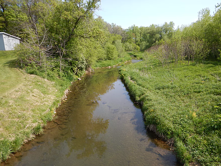
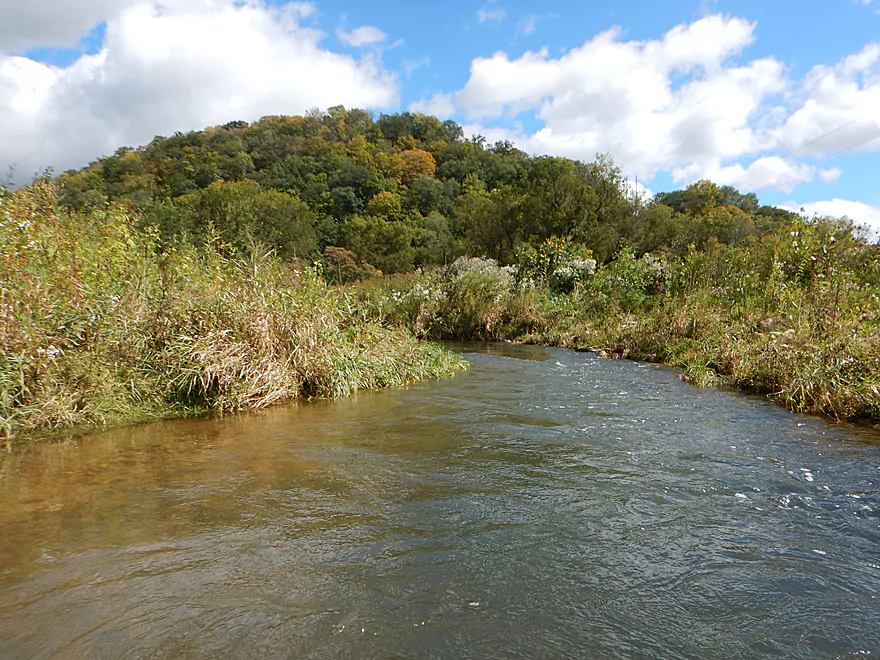
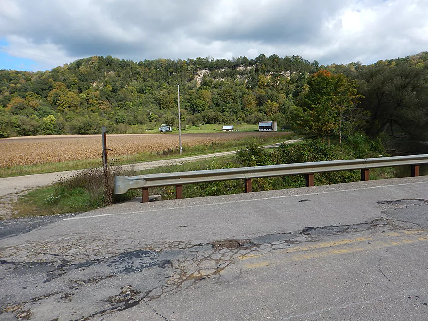
Scenic view from Bloomingdale Road
A little brushy but doable for access
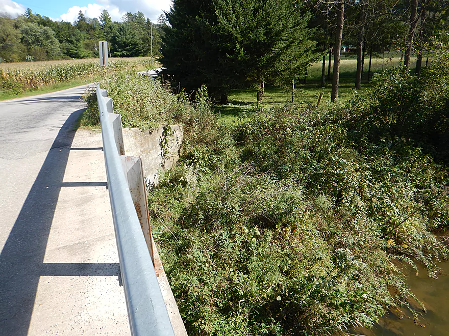
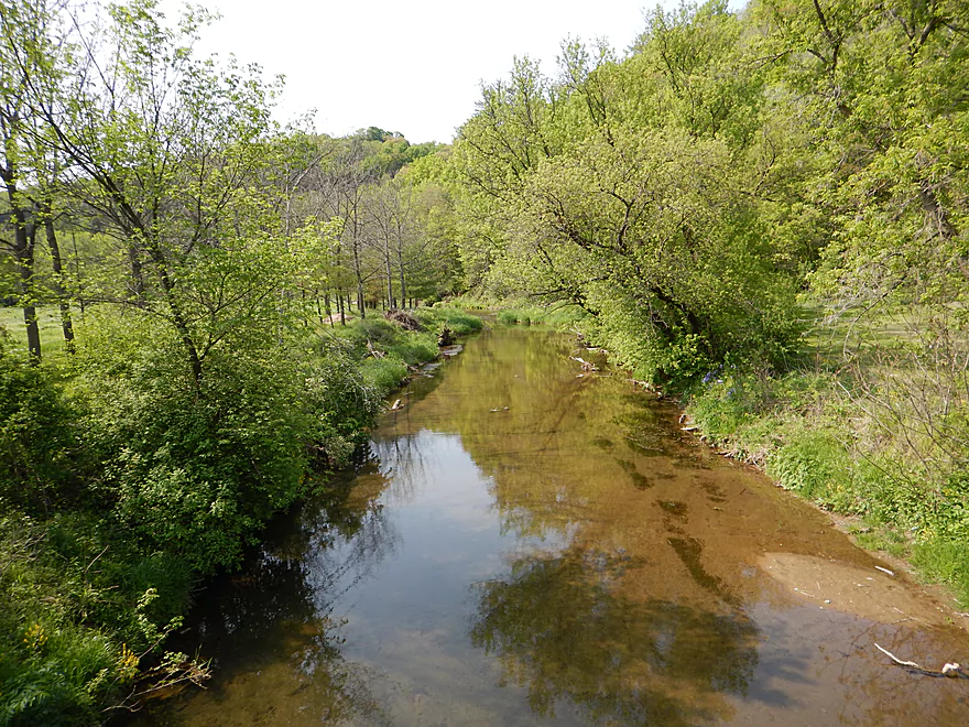
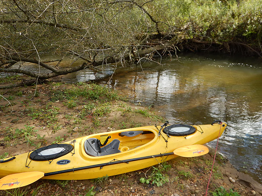
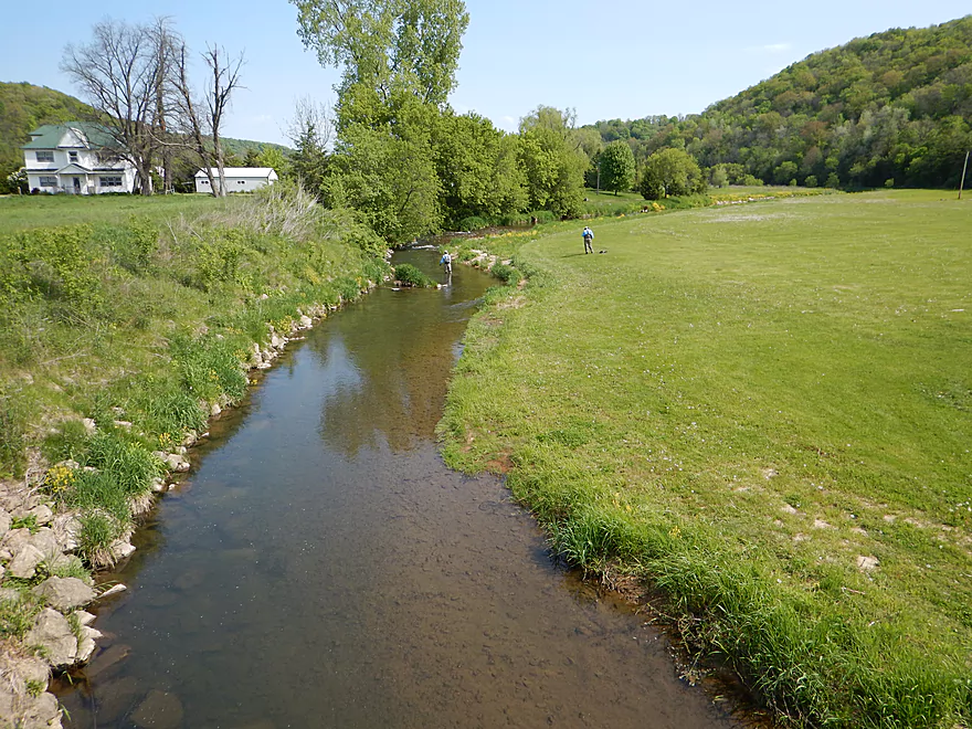
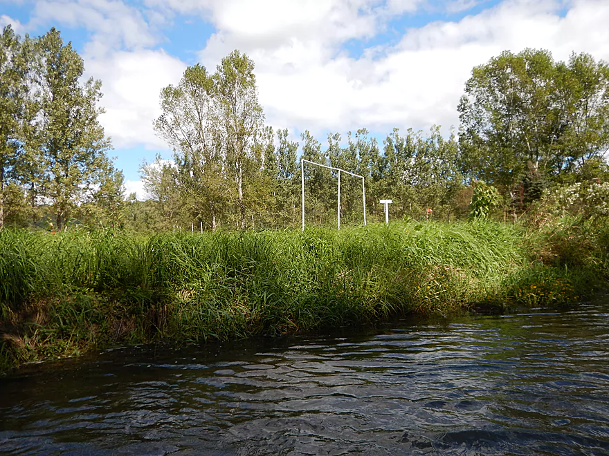
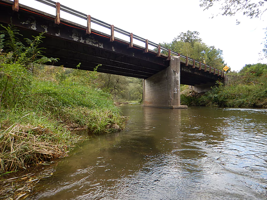
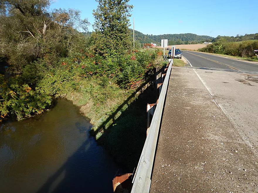
Best access is below the bridge
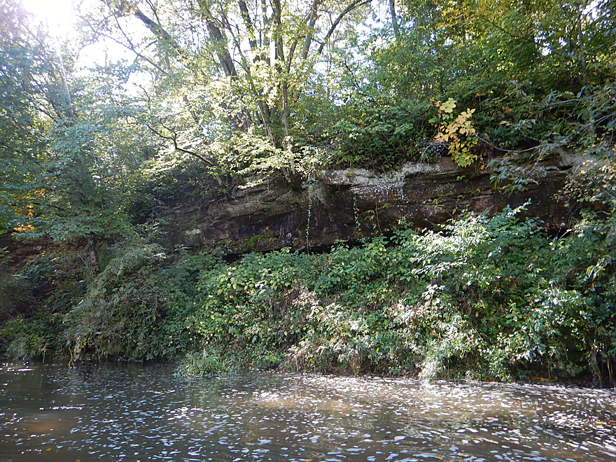
Some rare woods on the upper West Fork
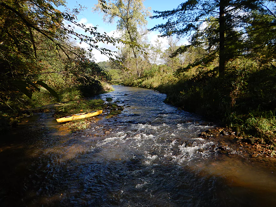
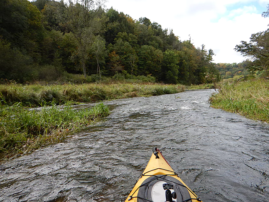
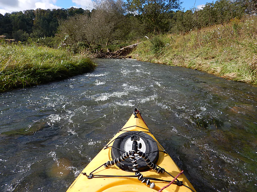
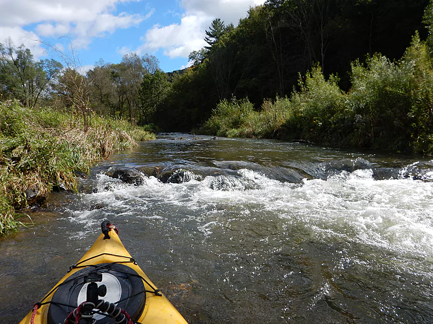
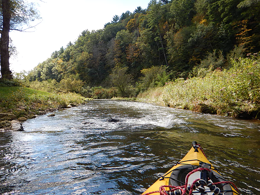
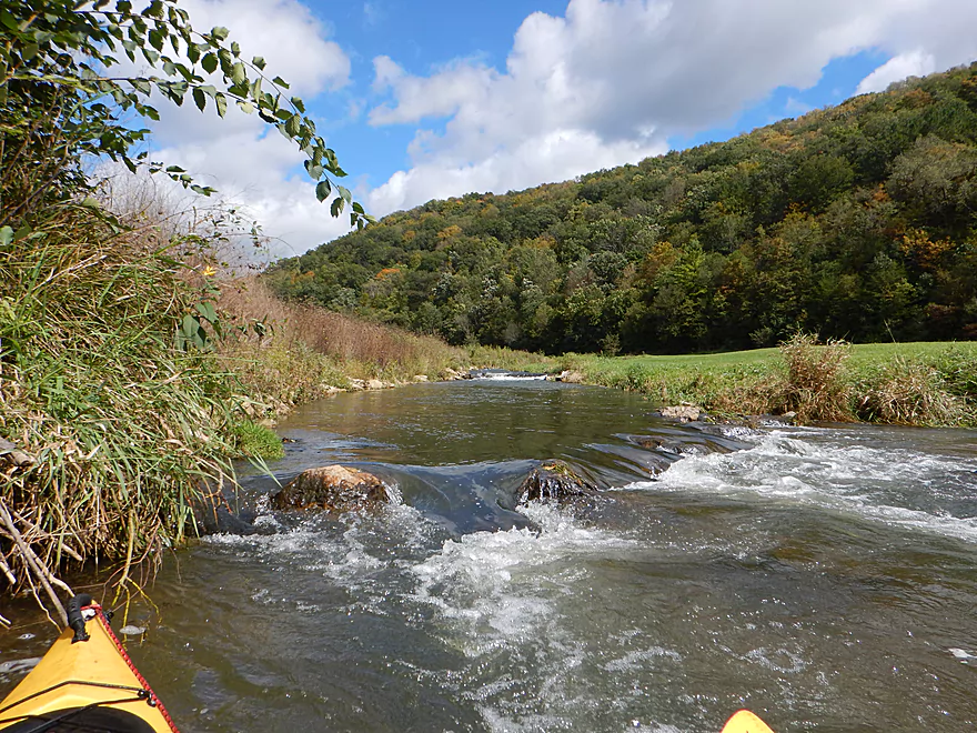
First of countless riffles
The first mile is the most shallow part of the trip
Looks innocent…but I took on water here and had to bail
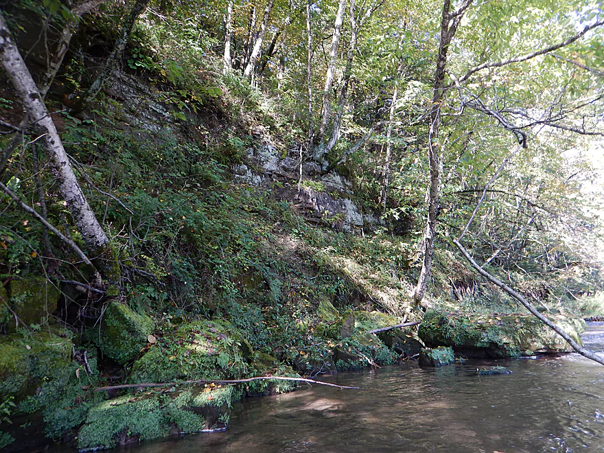
First mile has some nice rock outcrops
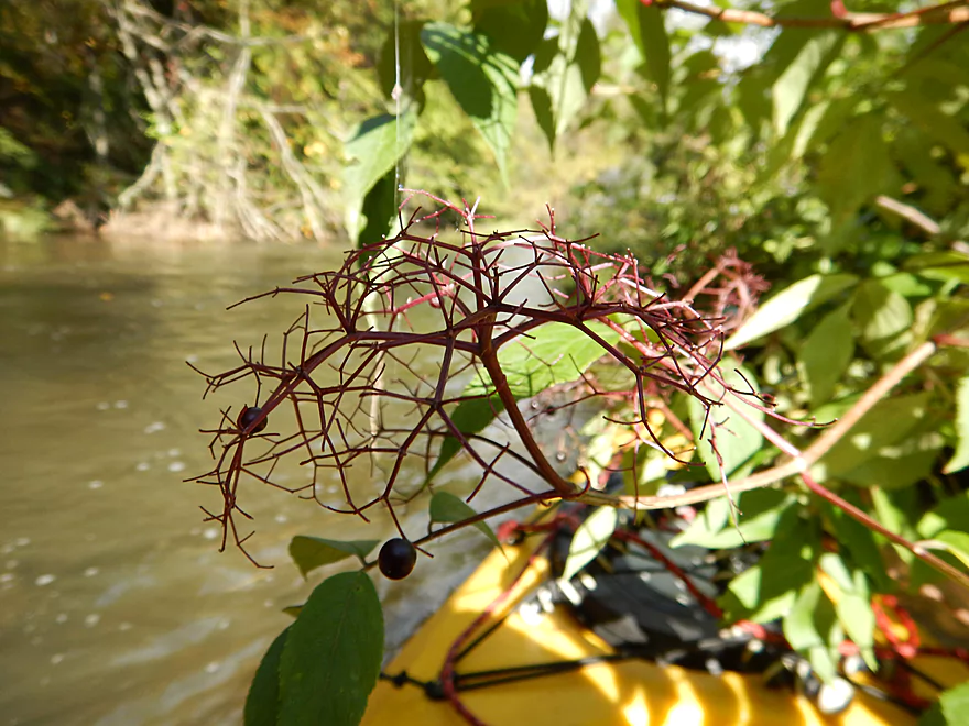
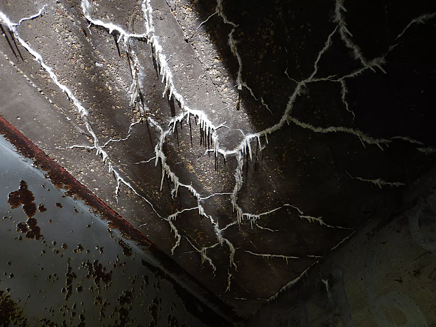
Geometric branches
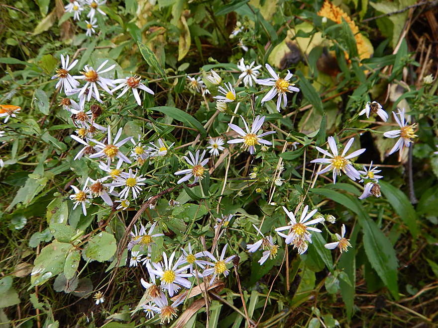
A fall aster
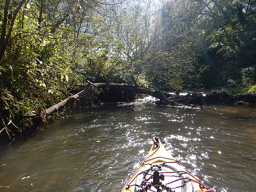
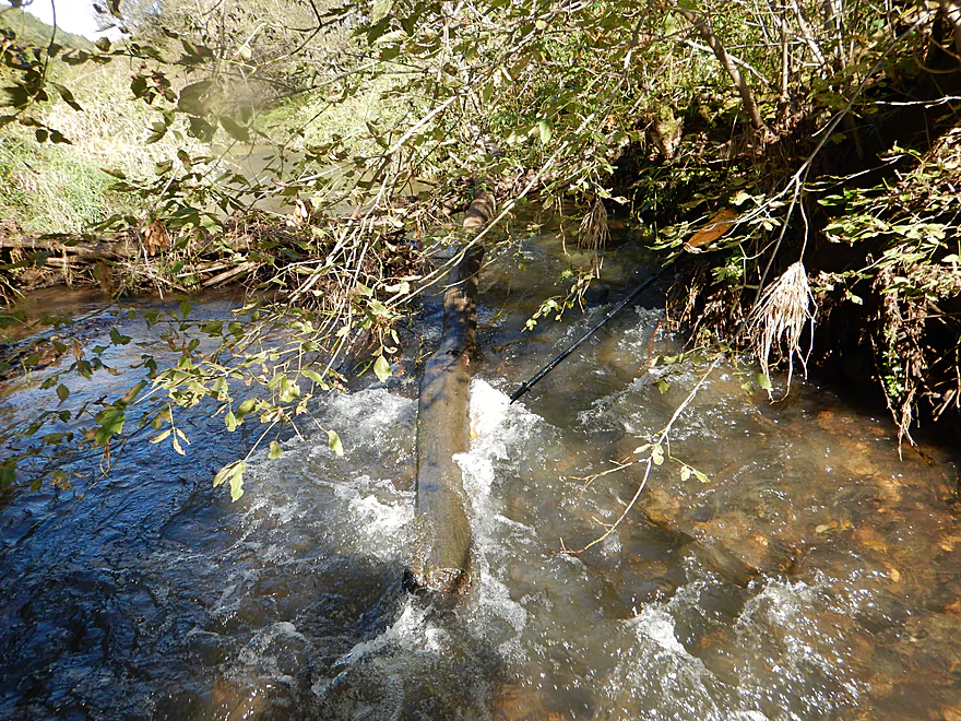
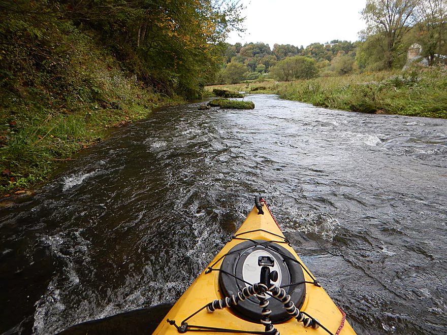
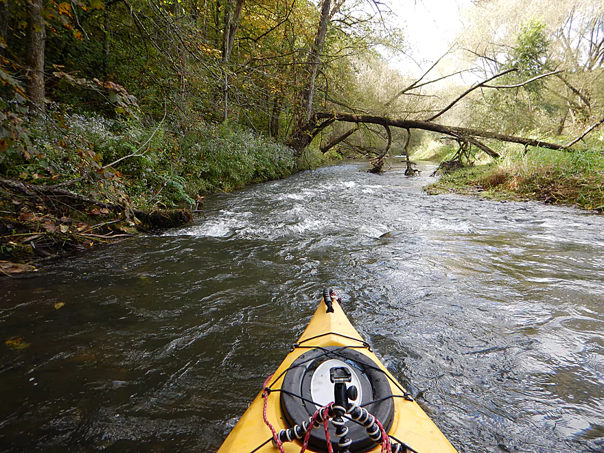
Coming up on a LOW log over rapids
I fit…my paddle did not
Does not compare to the Kickapoo…but still nice
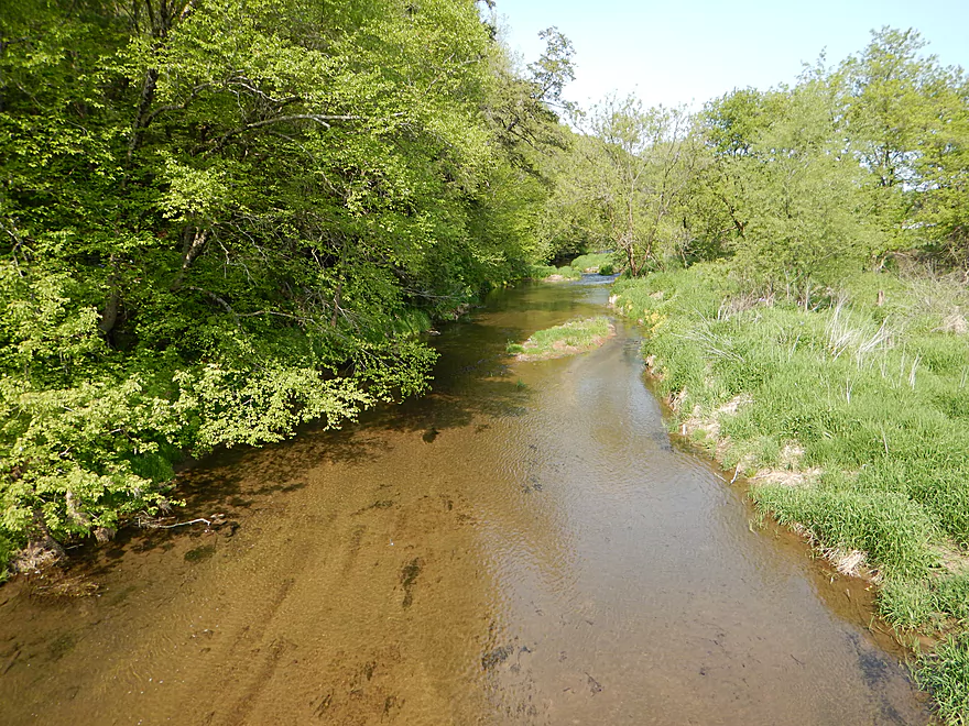
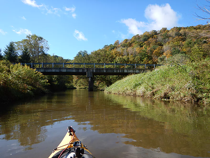
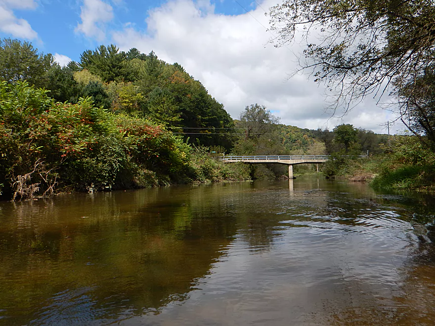
Scene from Hwy S
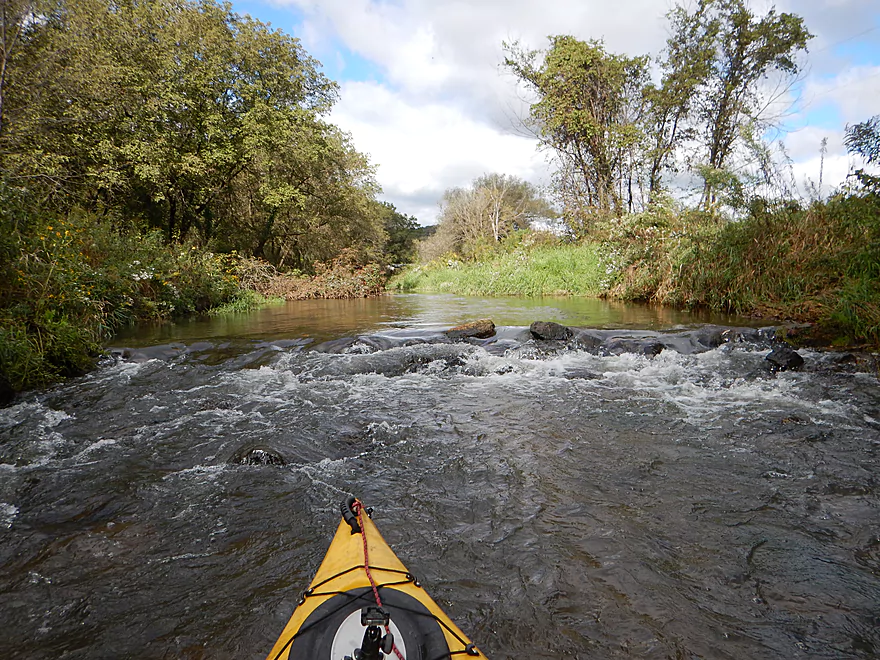
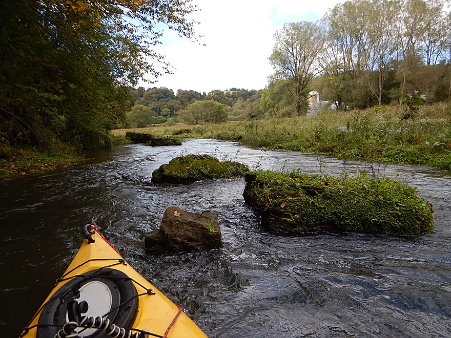
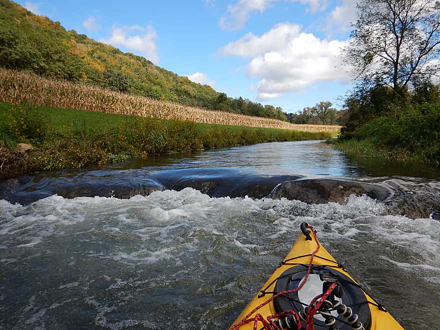
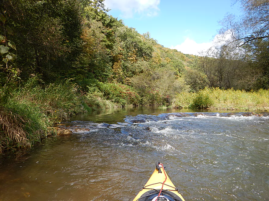
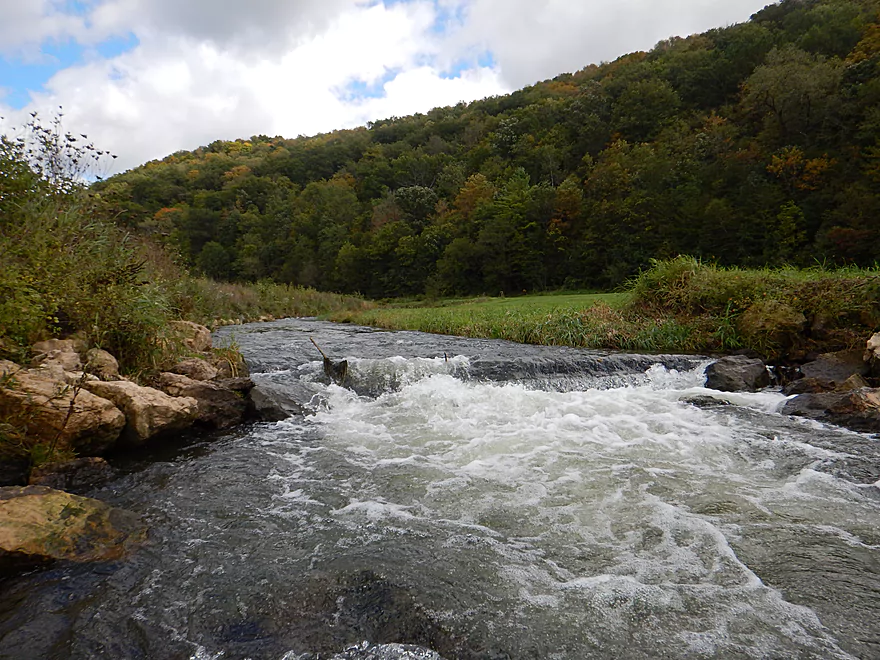
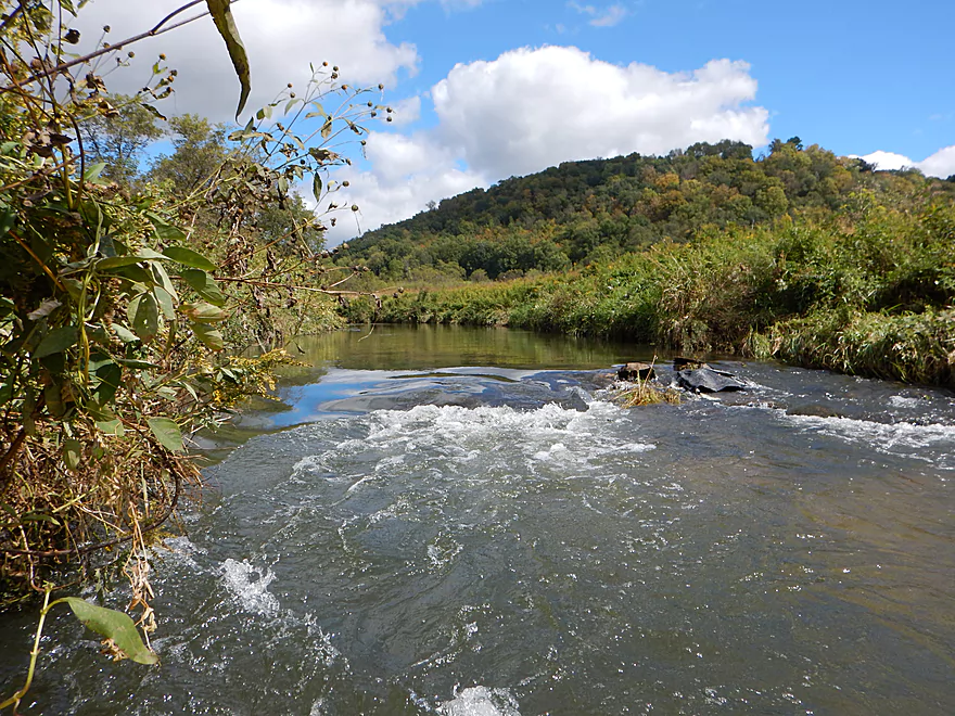
One of countless artificial trout ledges
Super easy portage around a tree
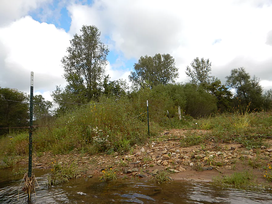
Easy to duck under cow fence
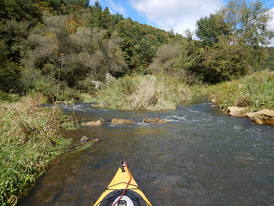
Interesting terraces
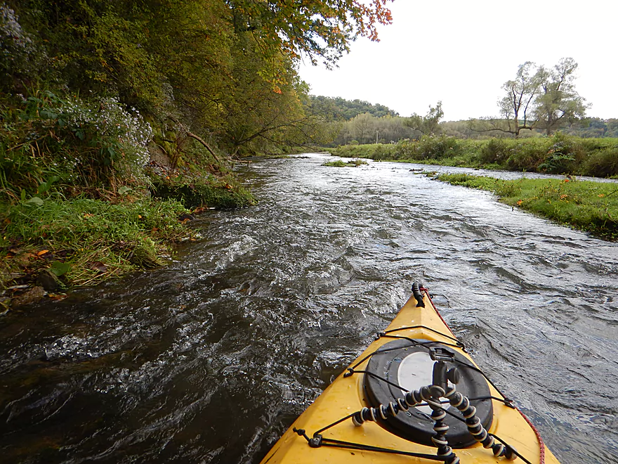
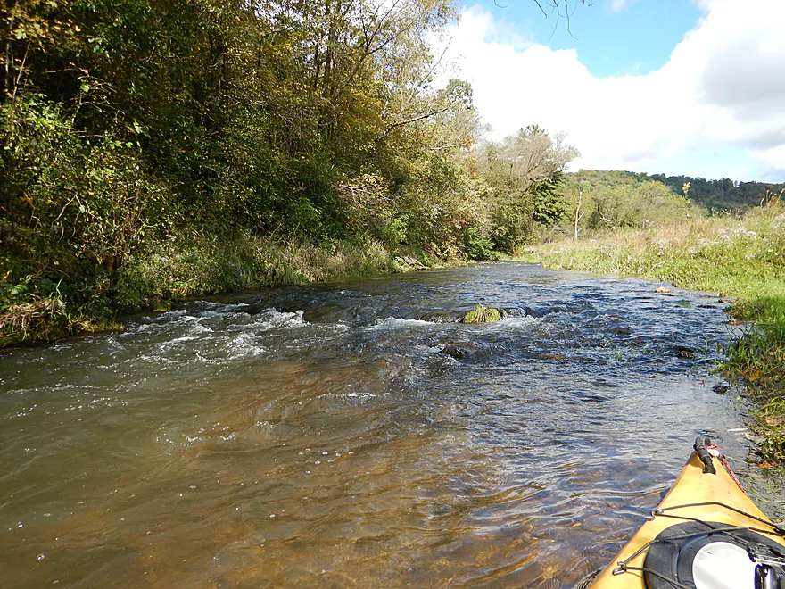
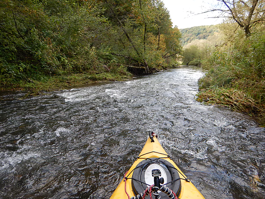
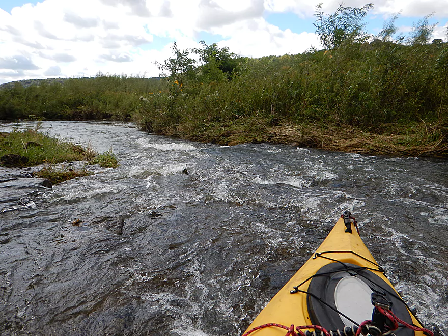
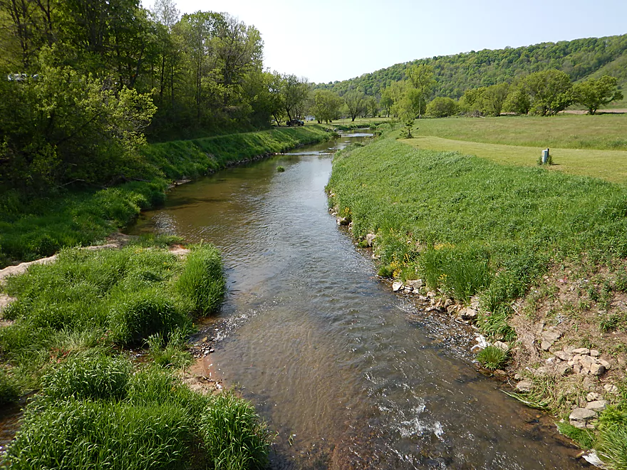
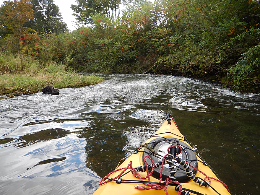
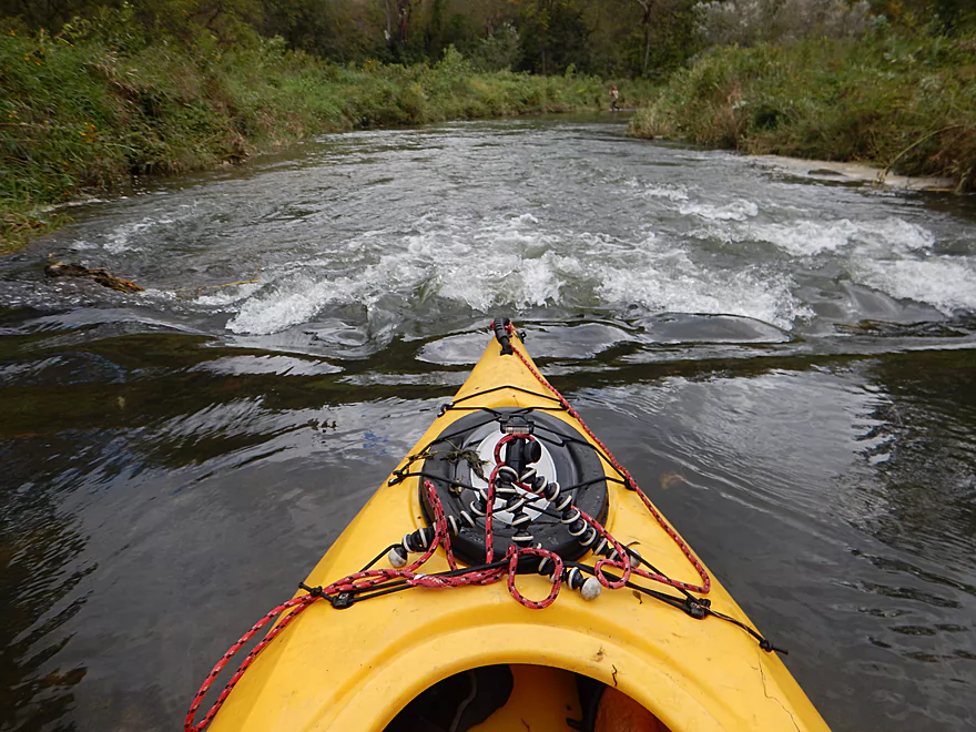
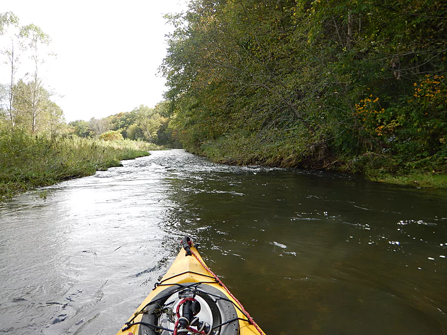
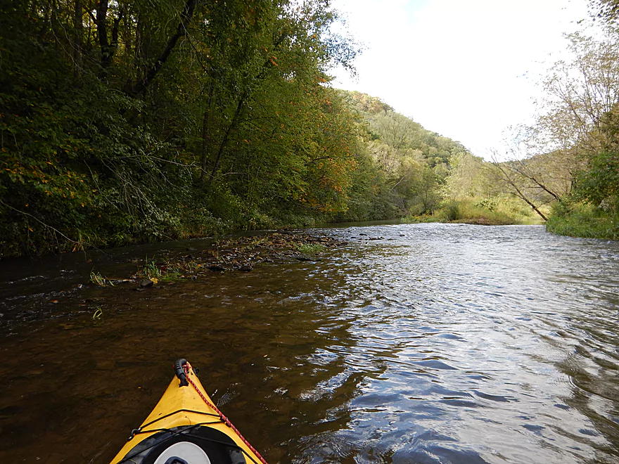
Great current for much of the trip
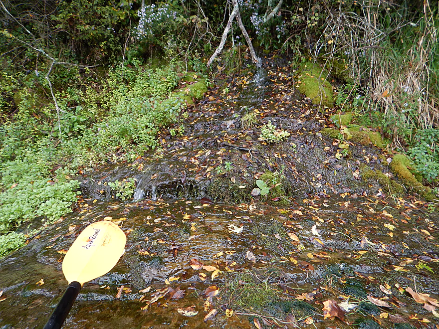
One of a few gorgeous seeps
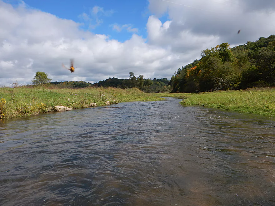
Being dive-bombed by trout food
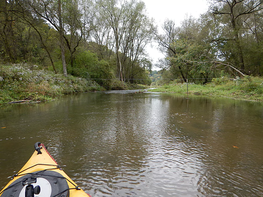
Second fence…reasonably easy to get under
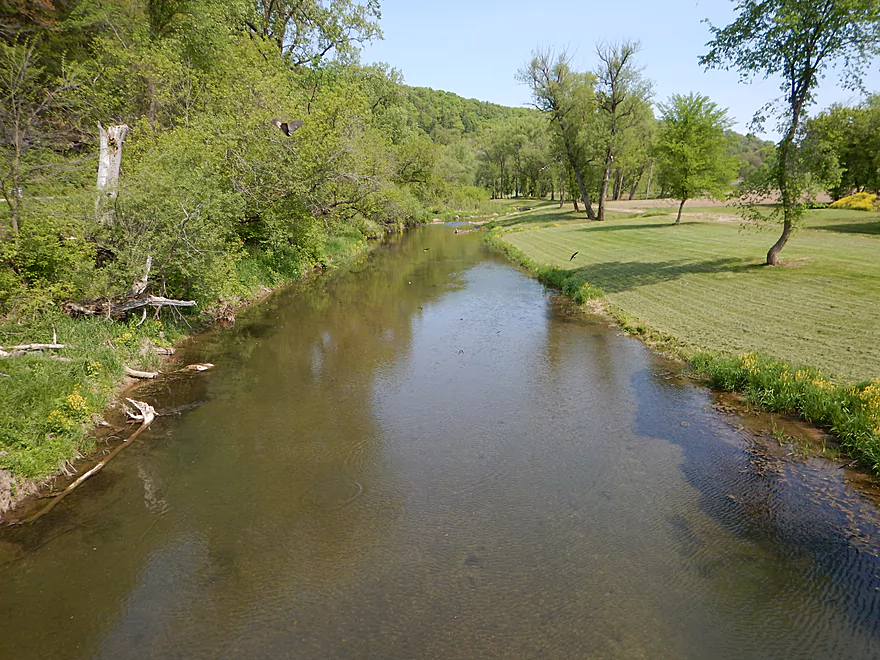
Kind of feels like the Platte River
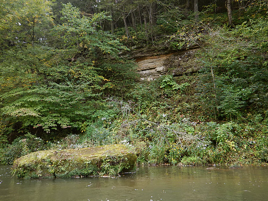
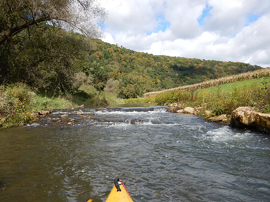
The last outcrop on this section
Most river bends had rapids
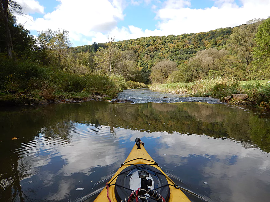
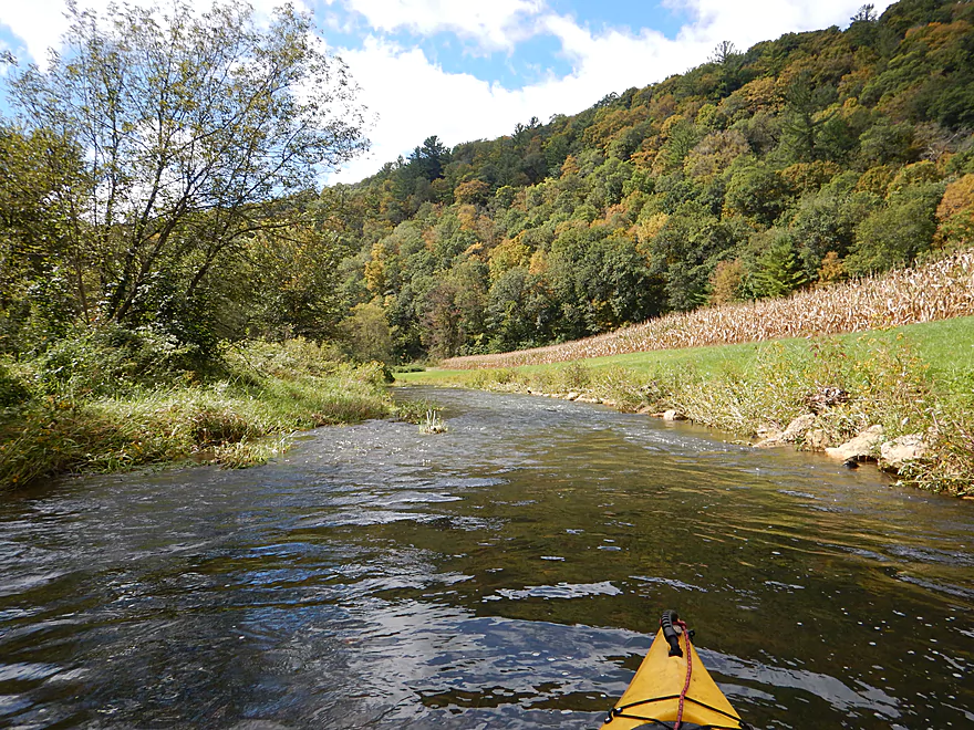
A very photogenic river
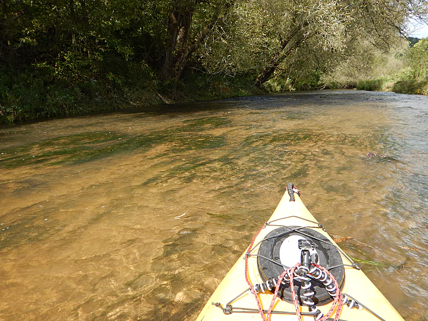
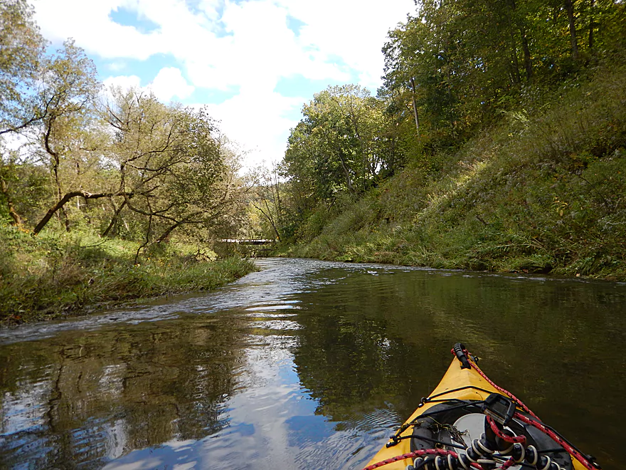
Most of the river is this clear in lower water
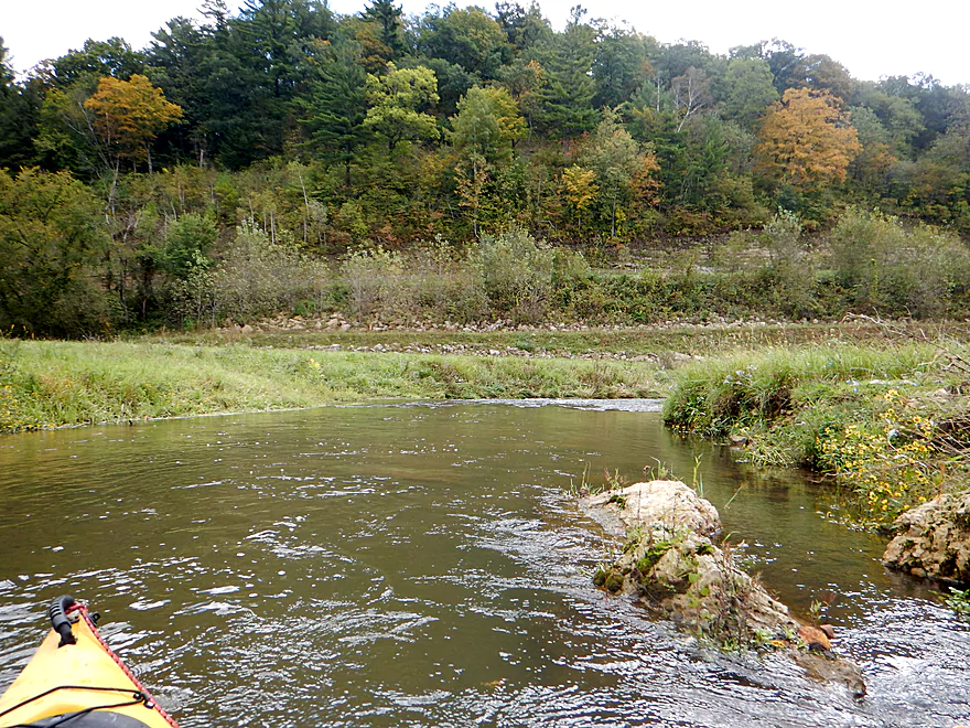
The driftless hills were very striking
Entering a brief woods
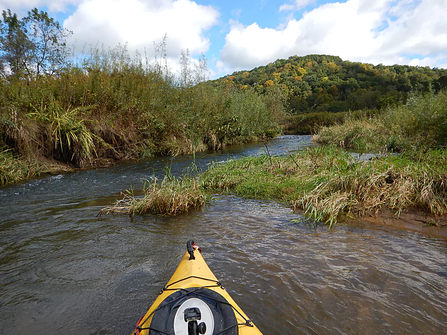
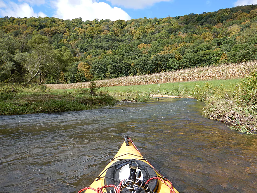
Entering a large open valley
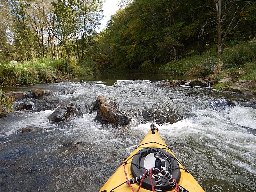
The ledges are starting to get more serious
Most are artificial
This is a very popular stretch with trout fishermen
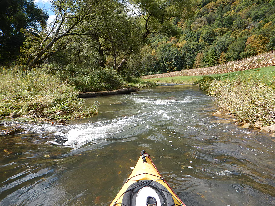
This might be the fastest part of the river
And most scenic
Reverse view
One of many bifurcated channels
These would be more fun in higher water
An extensive mow job for fishermen
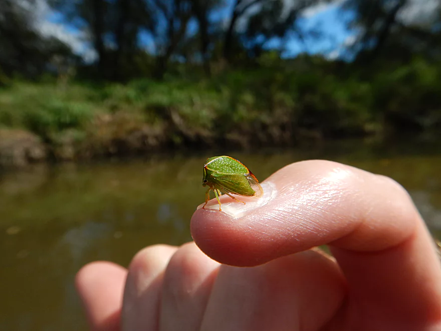
A friendly hitchhiker
Smart Hollow Road is a launch option
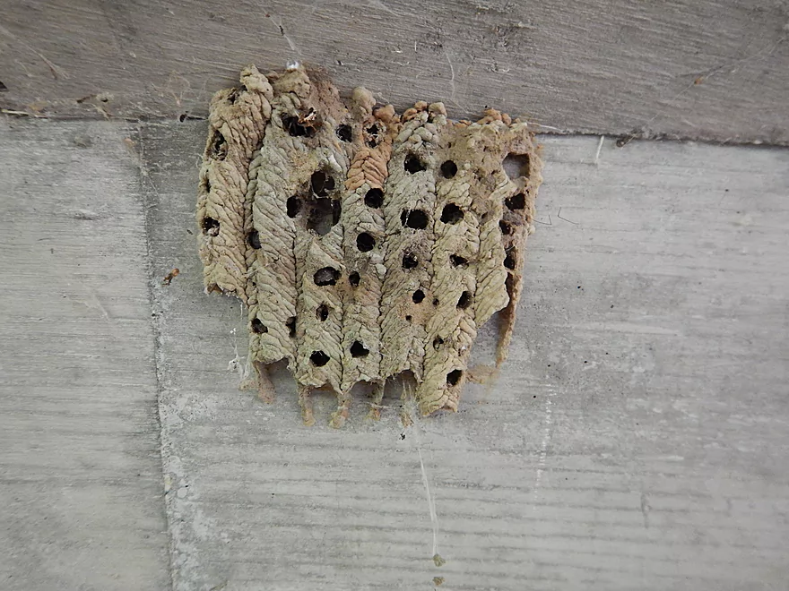
A mud dauber nest
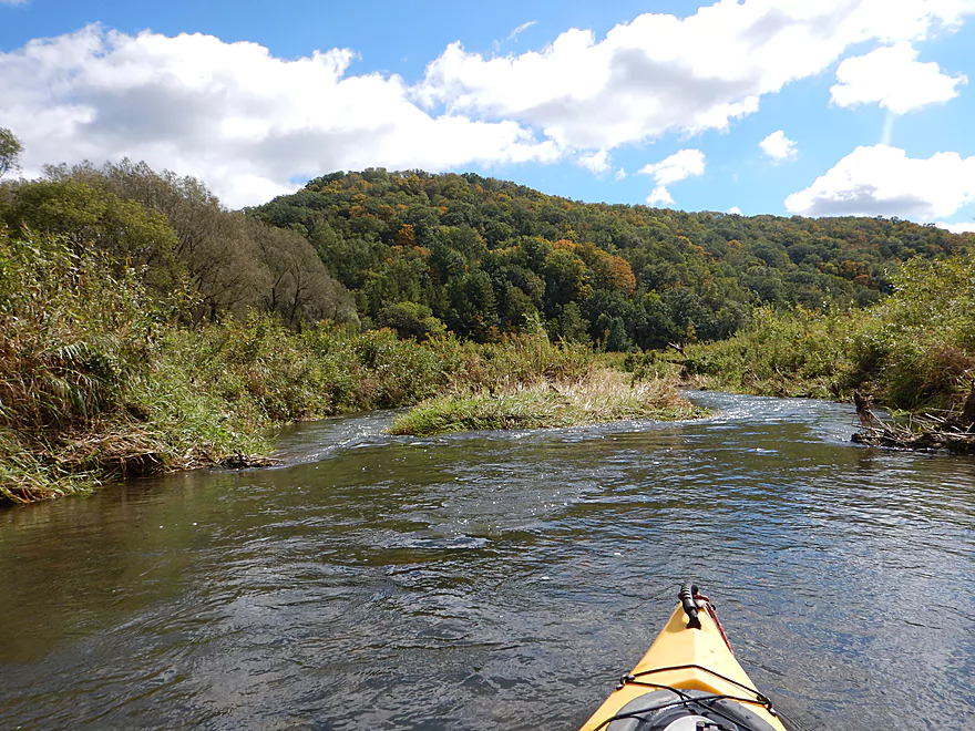
The driftless scenery was great
An I-beam dam creates a decent ledge
One of my favorite photos
Another popular fishing spot
Avalanche Road would be a good alternate access
Downstream view from bridge
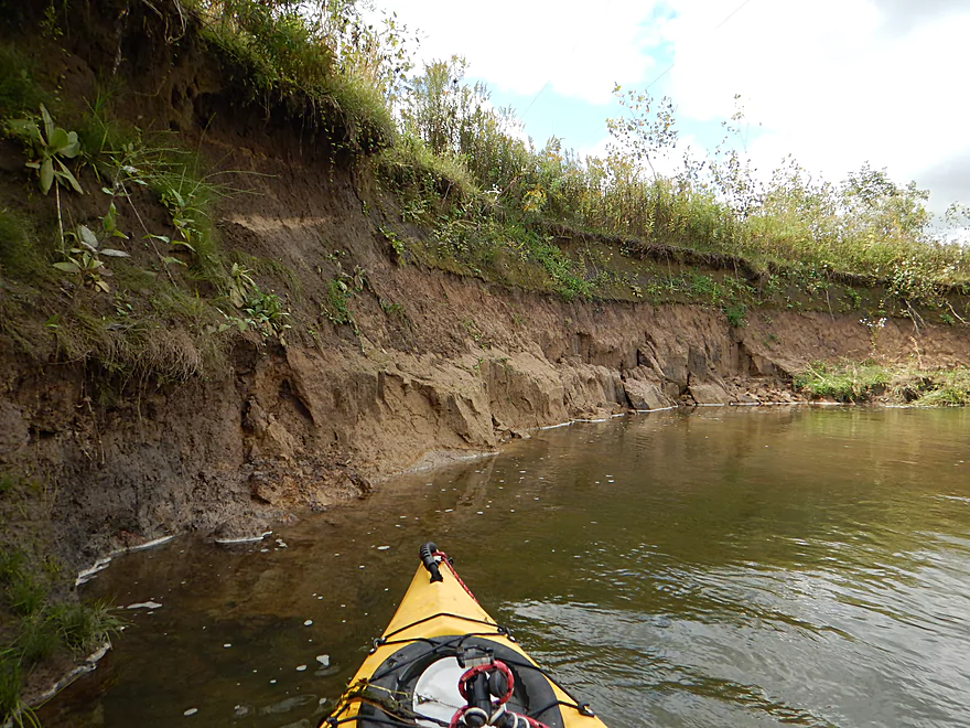
Erosion is more of an issue downstream
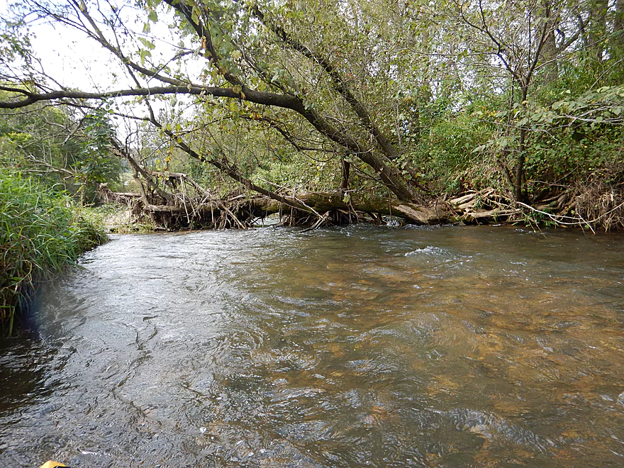
Downed tree required a portage (not difficult)
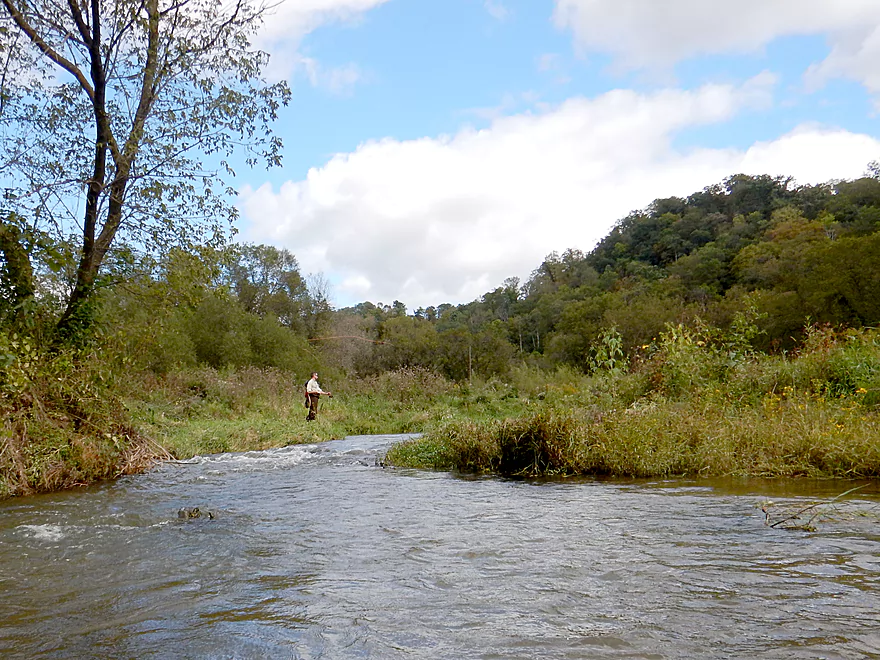
Dodging fly fishing lines
Second half of trip is not as fast…but is still fast
Entering the home stretch
A golf course in the middle of nowhere
Attractive woodlands
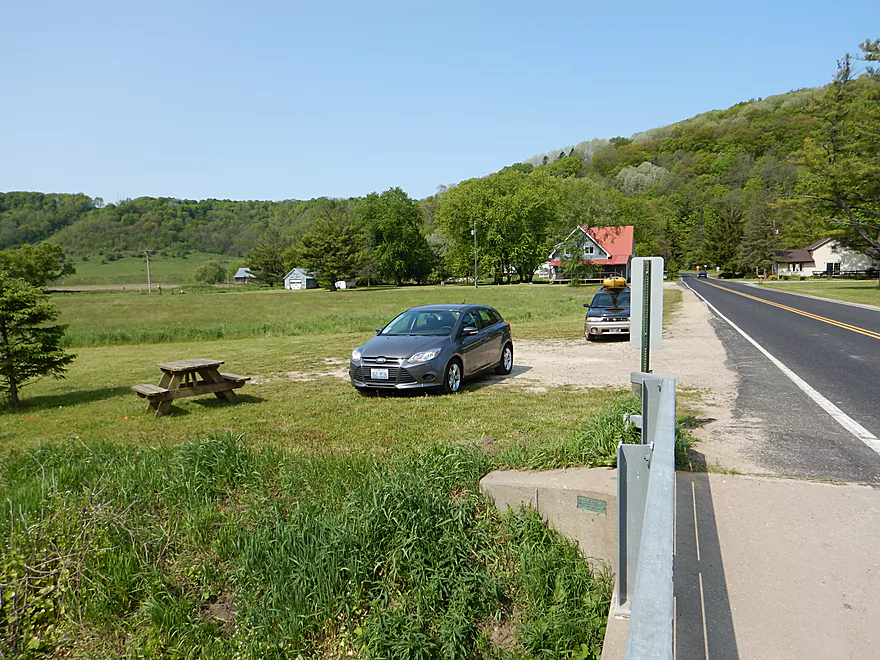
Taking out at Hwy S
Interesting excretions from under the bridge
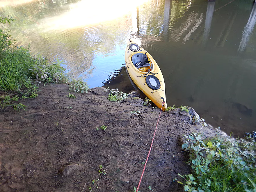
This is a steep take-out
A little past those bluffs is a much nicer access option
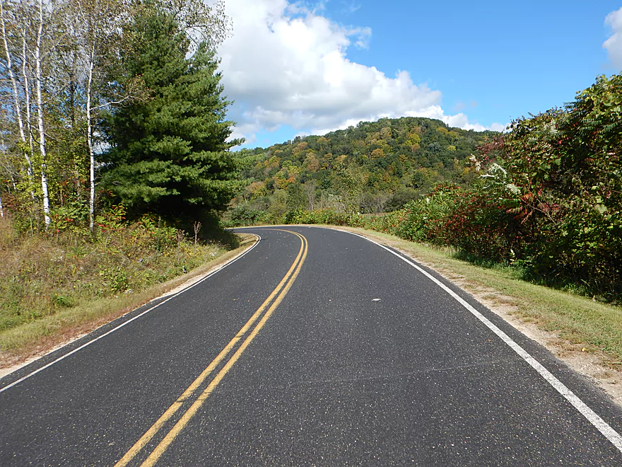
Scenic bike shuttle
West Fork of the Kickapoo – Bloomingdale

In southern Wisconsin, the Kickapoo River is one of most popular and famous rivers for paddling. However, few paddle its West Fork. Time to find out why…
The first leg of the trip spanned from the community of Bloomingdale to the Hwy S bridge (about a half mile). The launch was a little brushy, but plenty doable. Unlike the main branch, the upper West Fork doesn’t have many rock outcrops, but the few I did see were on this short leg. The channel here is very rocky and shallow, which caused me to get hung up a few times. I didn’t wear my skirt today and paid the price. The first time, I got stuck facing sideways, water overflowed my boat, and I had to bail (a rarity). Close to Hwy S, there is a small island with rapids on either side. I went left, and surprise, there was a low tree blocking my path. I barely got under, but temporarily lost my paddle and took on water, which meant I had to bail again. This sounds worse than it was though, as the water was very shallow, and in the case of the logjam, had I chosen the right channel, I would have been fine.
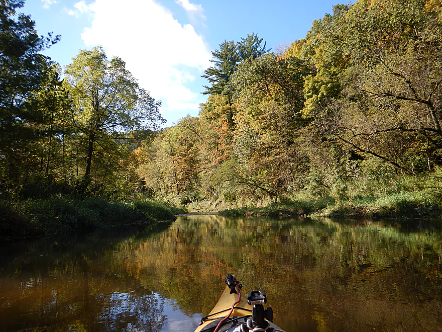
The second leg spanned from Hwy S to Smart Hollow Road (2.5 miles). This was the best part of the trip. The trees fall back and you have gorgeous views of the driftfless river valley. The rapids were also great fun and there were many. 50% of the time you were within earshot of at least one set of rapids, and I’m surprised this river isn’t more popular with whitewater paddlers.
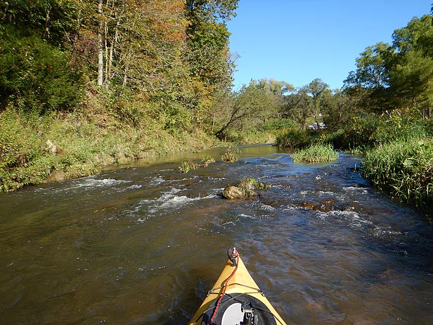
This very section is one of the most famous trout fishing corridors in the state, and I did see several fly fishermen. In many places the river has been artificially narrowed, rip-rapped, and ledged to increase oxygen for trout. This mostly wasn’t a big deal, but in several cases the ledges were significant (~2 feet) and created Class 2 drops that could be rough(er) in much higher water. Note, there are two barbed wire fences on this leg, but they were easy to lift over my head.
The third leg spanned from Smart Hollow Road to Avalanche Road (0.8 miles). This was the second best leg of the trip with many fun rapids and a majestic hill to the east (just starting to turn color). This is probably the most artificially engineered section and the ledges are some of the bigger ones. In one case, the trout guys just stuck an I-beam across the river, which created recirculating current at the bottom that could be a safety hazard in higher water (not to mention that trout don’t like dammed water).
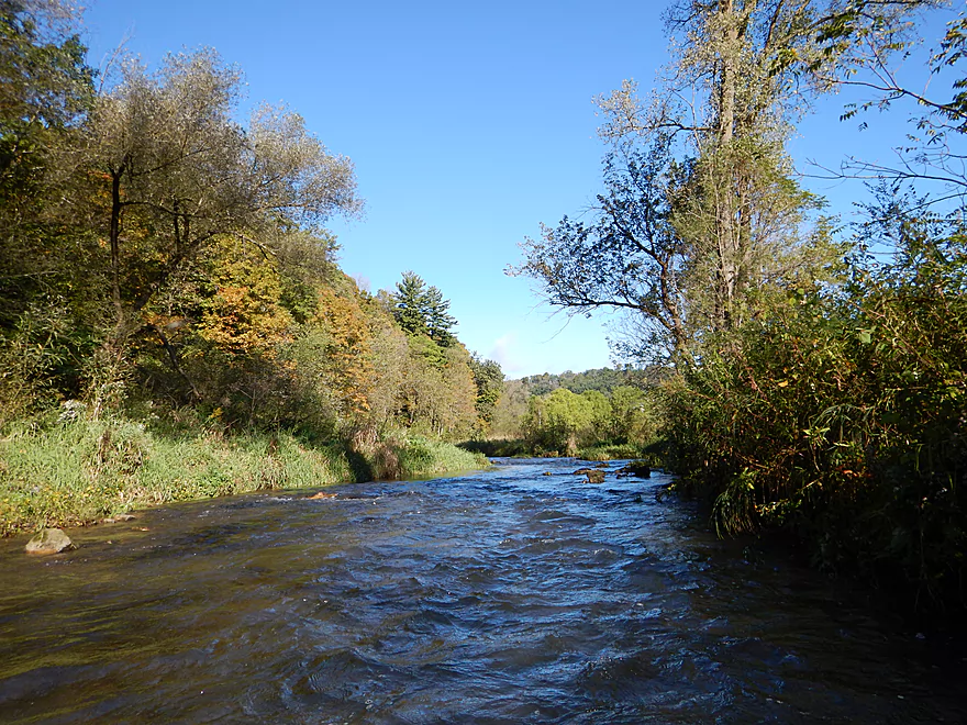
The final branch spanned from Avalanche Road to Hwy S (~3 miles). This was not as fast as the upper sections, but was much deeper and I rarely got hung up on this leg. There are still many fun little rapids and the scenery stays top-notch. The river here stays mostly open, running past a private sports club and then a golf course, but there is a nice wooded section at the end where the current picks up speed again.
All in all, a great trip that I very much enjoyed. My only regret was not waiting for more water, as the first few miles were quite bumpy (but still plenty doable). Despite its lack of rock outcroppings, I will give it five stars for the scenery and great current. Past Hwy S, the river is still good for paddling and for more information see my downstream review.
Trout fishermen frequently “launch” NE of the Bloomingdale bridge, which is the start of a public fishing corridor. There is a trail SE of the bridge better suited for paddlers, but this is a tad brushy. The best launch area will be directly under the bridge (a bit muddy, but acceptable).
Note, for alternative access points, all the in-between bridges are acceptable launch options except for River Road.
The Hwy S bridge, south of the Serendipity Golf Course, is one of many trout access areas and a reasonable option for disembarking. It has a steep bank you will have to drag your boat up, but there is good parking on the shoulder.
Because of the steep hill, I actually suggest taking out 0.4 mile downstream where there is a public fishing pull-off and better landing (plus this mini stretch is scenic and fast). All landing options are marked on the map.
For further take-out options on the West Fork, see my downstream review.
Despite there being many liveries on the Kickapoo, I doubt any service the West Fork.
For bike shuttlers, this is 5.9 miles and mostly flat with a few hills. This is one of the more scenic bike shuttles I’ve done with nice views of the river, hills, and Amish harvesting their crops.
- Fences:
- There is a fence 900′ past Hwy S that is easy to duck under and not electric.
- There is a second fence 0.4 mile later that you will have to lift over your head, but it is also not live.
- Logjams:
- A quarter mile upstream of the first bridge (Hwy S), there is an island with rapids on both sides. The left/west channel is blocked by a tree, but the east channel is free.
- A quarter mile downstream of Hwy S, there is a downed tree blocking the river, but no rapids and a small sandbar makes this is a super easy portage.
- There are low-hanging branches just upstream of Avalanche Road which hang over light rapids. Easy to scout from the bridge.
- A little past River Road, a downed tree has blocked the main channel which requires a portage on an island (which is easy).
- Rapids:
- There are countless rapids. Most are no more than Class 1, but I think there were a few Class 2 drops between Hwy S and Avalanche Road.
- This river can be VERY rough in high water and many of these ledges would become much more hazardous.
This is a fast river with countless riffles and rapids. It is also a shallow river that needs a bit of rain to be manageable. There is a nearby gauge on the Kickapoo at Ontario, which I used for reference, but note that the West Fork will rise and fall faster because of its steeper grade.
- 0 – 80 CFS: Probably way too shallow.
- 81-100 CFS: You’ll probably have to walk your boat in many sections. The lower half of the trip will be much easier though.
- 101-120 CFS: I did the trip at 110 CFS and had a great time, but hit a lot of rocks in the first two miles. Would have preferred more water.
- 121-150 CFS: Probably a good depth for not getting hung up too often.
- 151-200 CFS: River probably starts to become pushy and muddy at this point and the rapids would require experience.
- 201-400 CFS: Probably only suitable for serious whitewater paddlers.
- 400+ CFS: Might be too high to paddle. Here are pictures of the local golf course submerged after the last big rain (just east of the Hwy S take-out).
Not much, which is typical for fall. Did see a snapper, a great blue heron, several fish, and a muskrat.
- Knapp Valley Road to Hwy P: (0.7 miles) A quaint creek and mostly open, but a section with perhaps several logjams.
- Hwy P to Bloomingdale Road: (1.26 miles) Mostly open but maybe several jams. Possible rock outcrops and riffles, but I think there is one fence (maybe electric) to deal with right after P.
- Bloomingdale Road to Hwy S (2nd bridge): (6.9 miles) A great trip with fun whitewater. Reviewed here.
- Bloomingdale Road to Hwy S: (0.7 miles) A wooded section with fun riffles and nice rock outcrops. This is shallow though.
- Hwy S to Smart Hollow Road: (2.56 miles) Great rapids and scenery. Best part of the river.
- Smart Hollow Road to Avalanche Road: (0.8 miles) Also good rapids and scenery. Includes a significant ledge.
- Hwy S (Avalanche) to Hwy S (Serendipity): (2.75 miles) More open but still with good current and driftless scenery.
- Hwy S (Serendipity) to Hwy 56: (6.9 miles) Good trip with more sandstone than the upper portion but less frequent rapids. Reviewed here.
- Hwy S (Serendipity) to Hwy S (Scott Hollow Road): (4.6 miles) A great trip with fun riffles, clear water, sandstone outcrops, and scenic hills.
- Hwy S (Scott Hollow) to Hwy 56: (2.26 miles) A good trip, but not as nice as the previous leg.
- Hwy 56 to Harrison Road: (5.6 miles) I strongly discourage this segment as logjams look like too much of an issue. But I could be wrong…
- Harrison Road to mouth of Kickapoo: (1.42 miles) I suspect there are too many jams on this section.
- Coon Creek: Just to the west, this is a surprisingly fast prospect with unique strengths and weaknesses. Reviewed here.
- La Crosse River: Just to the north, this is a solid prospect, especially starting from Sparta. Reviewed here.
- Kickapoo River: To the east, this is one of southern Wisconsin’s best paddle trails. Reviewed here.
- Billings Creek: Also to the east, this is one of the more underrated prospects in the area with great bluffs. Reviewed here.
- Pine River: To the southeast, this is another nice driftless paddle that has seen a lot of improvements recently. Reviewed here.
Trip Map
Overview Map
Video
Photos Size:
Did this trip on 5/4/19. CFS was 124. We put in ~1/2″ mile downstream (off of Hall Road) and there was plenty of shoulder parking but also took out at the further point on the map. It was a little rocky at spots near the beginning of the river but didn’t get stuck too seriously. There was one downed tree that we had to portage. Overall very fun trip!
Great to hear you had a good trip. That area experienced some huge floods and even a burst dam recently. I feared the worst and to hear this only resulted in one logjam is fantastic news.