
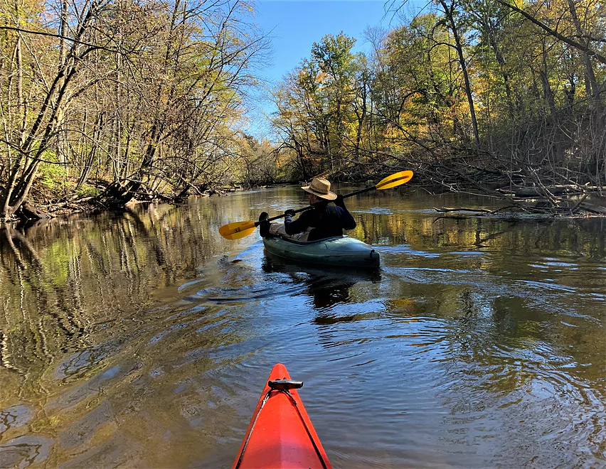
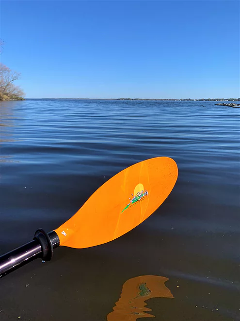
The first few strokes are always a joy
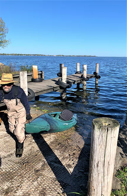
Easy, accessible put-in at Poy Sippi
Put-in at Poy Sippi is behind this apartment house
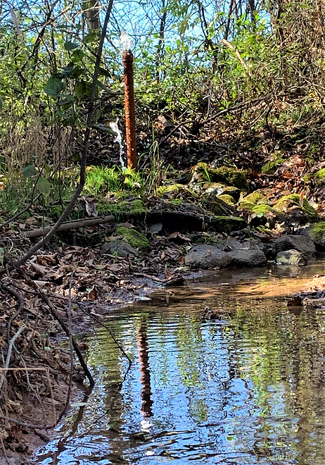
Surprise spring
Current tugs gently on the Pine
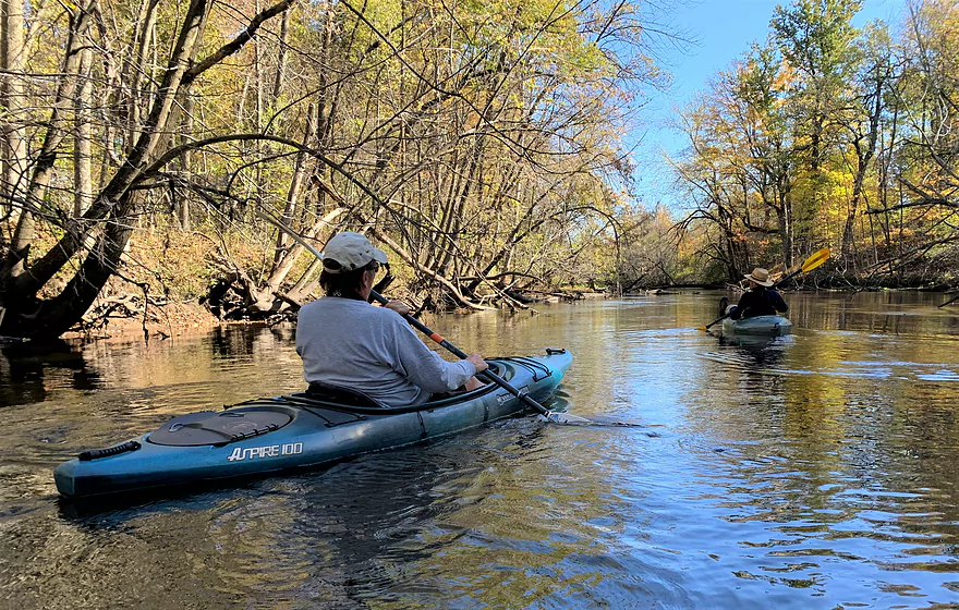
Scott spies a deer
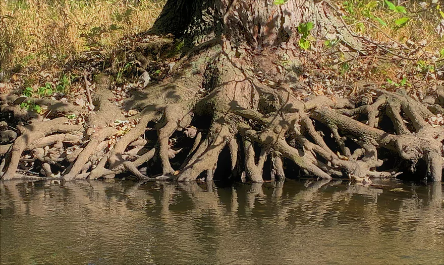
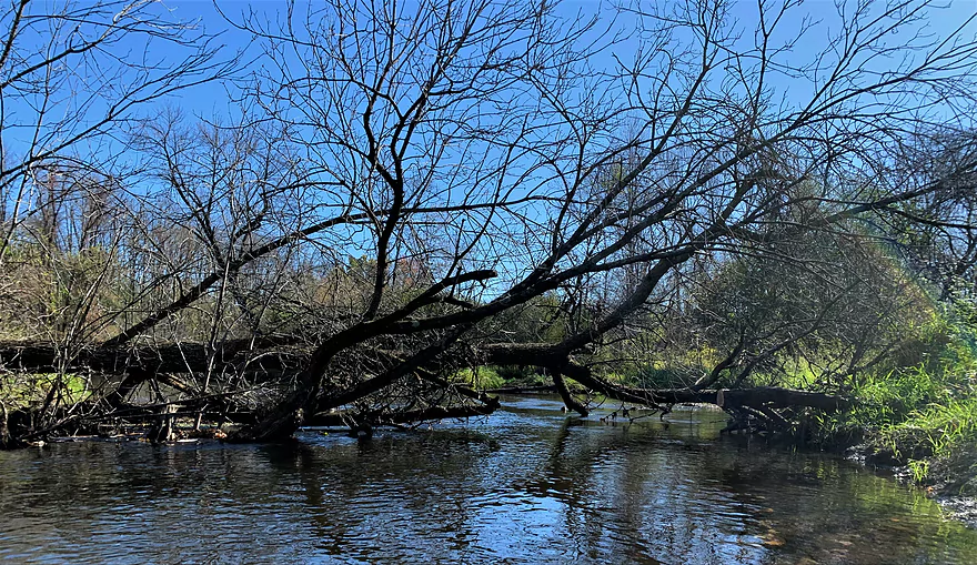
Tentacles of a tree
So many ways to enjoy a river
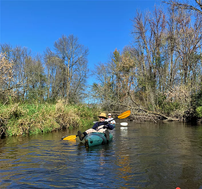
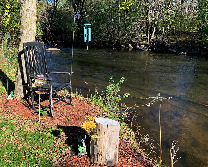
Stu is kicked back
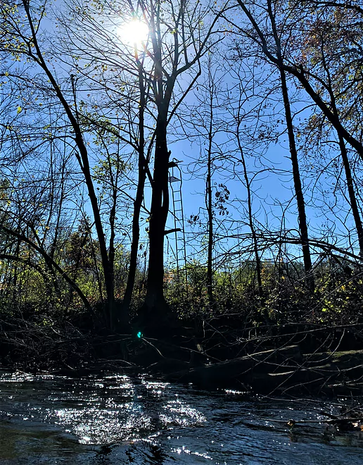
Stairway to the marsh
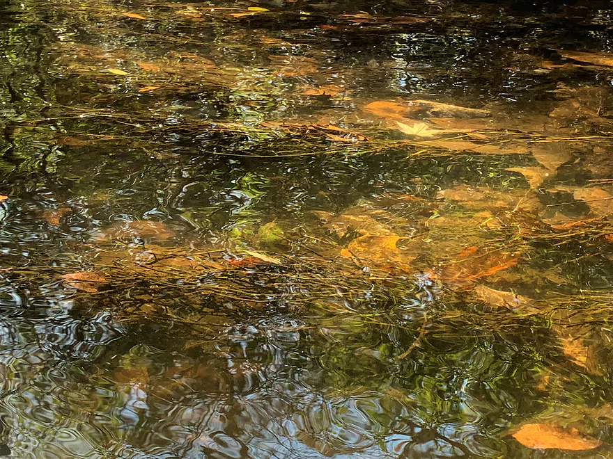
Surreal swirl
River angels are taking care of this segment of the Pine
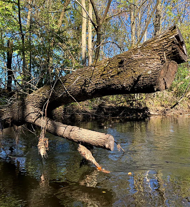
Many obstacles but no blockages
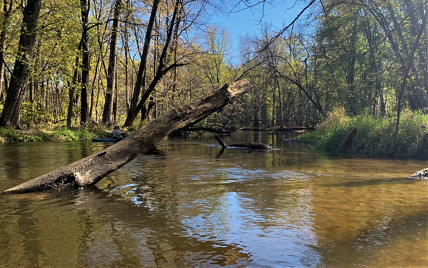
Typical but rare snag on this segment of the Pine
Fall color everywhere
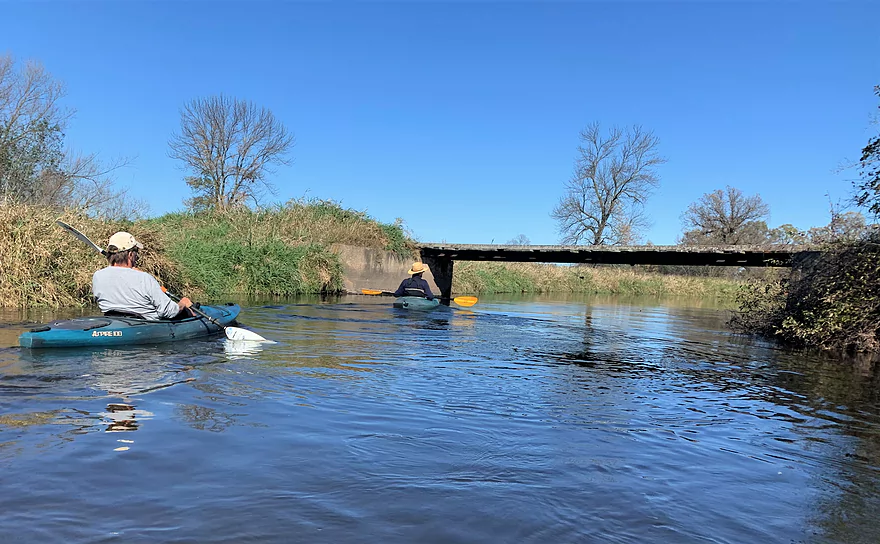
Plenty of room to pass under this farm bridge
Things open up at the farm
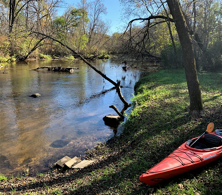
Rustic riverside VRBO
Low bridge, but no portage here — or anywhere on this trip
More fall colors
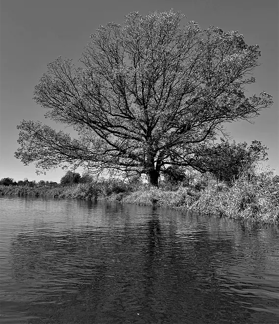
Sentinel oak
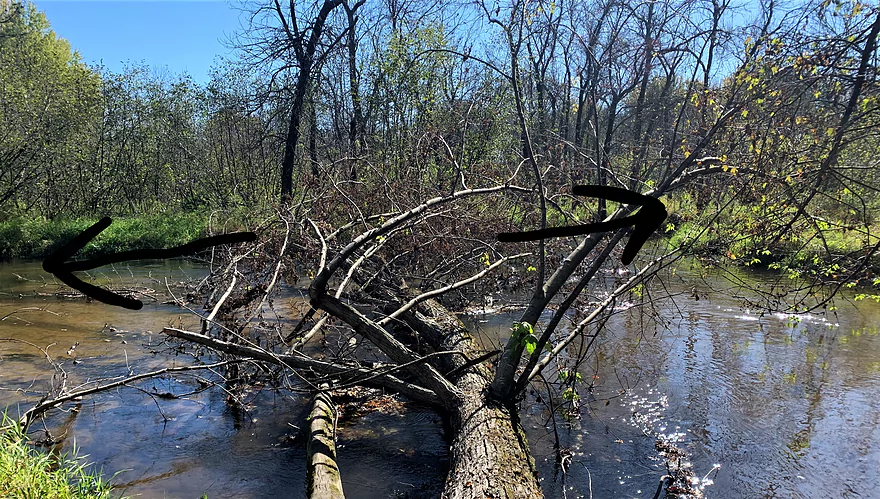
Arrows denote a fork in the stream
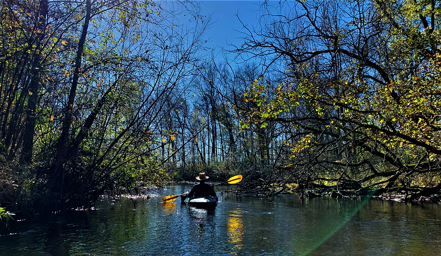
The river beckons
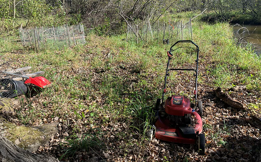
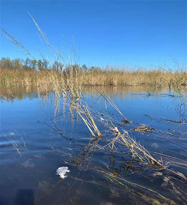
What is this doing out here
Current still detectable in the delta
Pine River back channel
Paddling through the delta
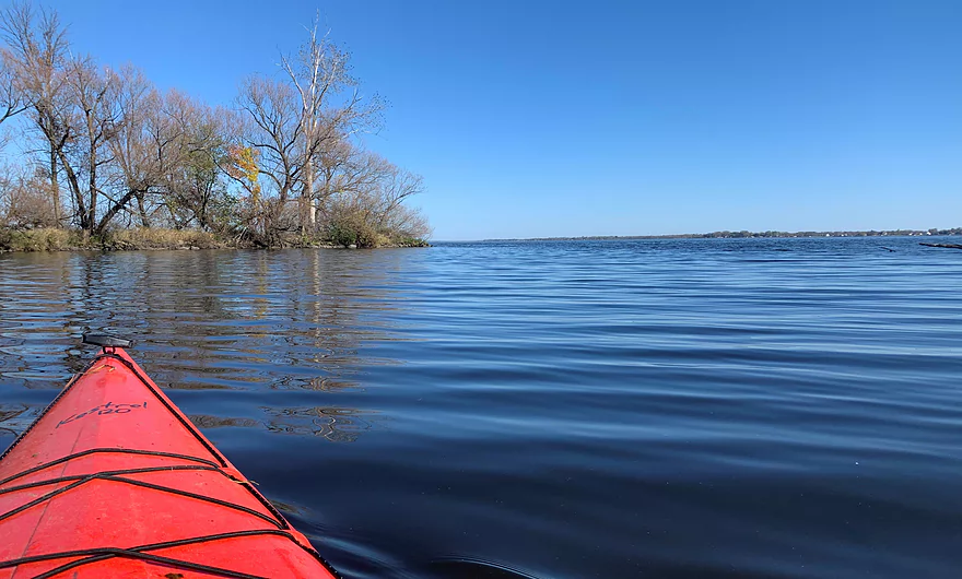
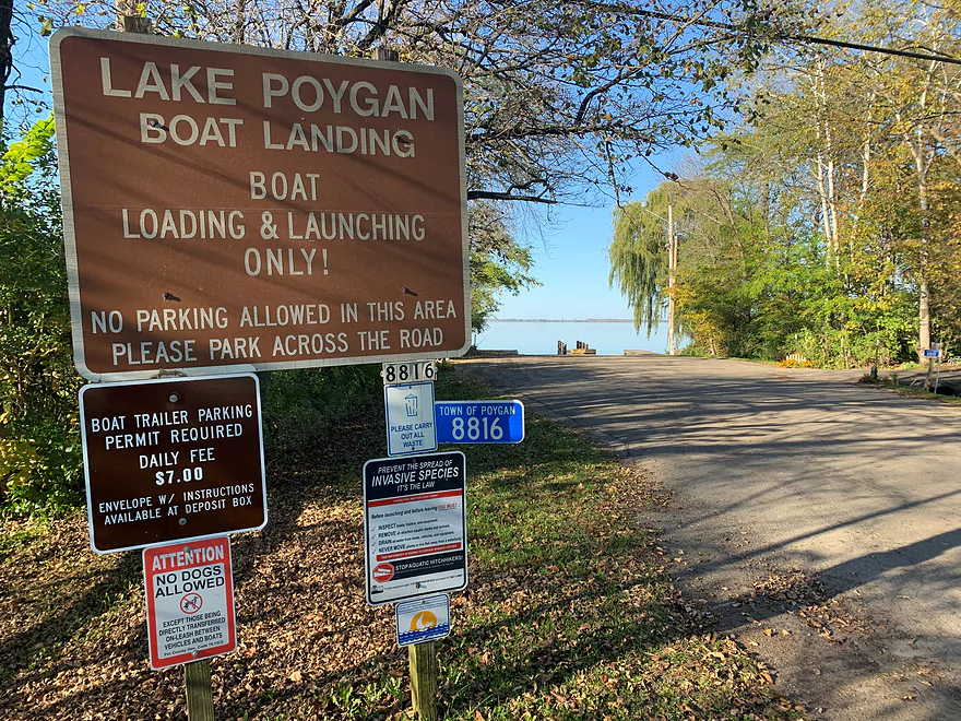
Greetings, Lake Poygan
Paddle to the Poygan
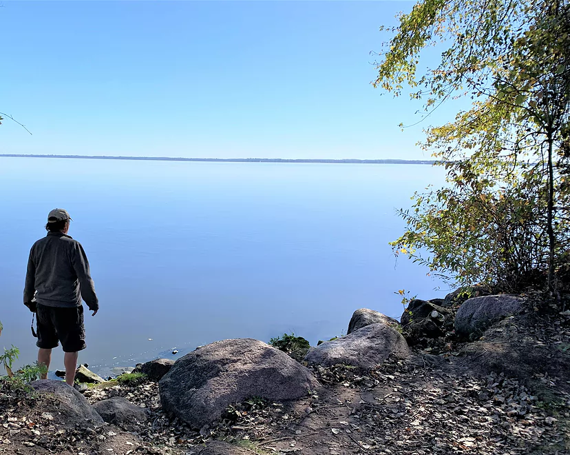
Scott enjoying the view at the takeout
Stu calls it a day
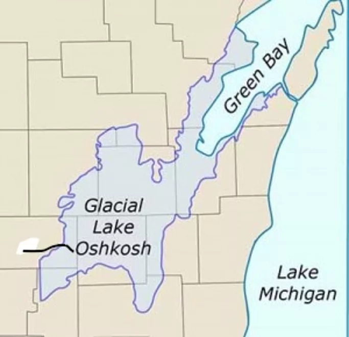
Approximate location of Pine R vis-a-vis Glacial Lake Oshkosh
South shore boat landing — 2nd choice for a takeout
Pine River – Poy Sippi

If you are pining to navigate all the navigable Pine Rivers in Wisconsin (there are four that I know of, five if you count the North Branch of the Pine in Forest and Florence counties), do consider adding this segment of the Waushara County Pine to your itinerary. It has all the classic features of a central Wisconsin stream – groundwater-fed (and therefore reliable flow), clear water, sandy bottom – but without obstacles, and with a unique finish into a big lake.
You’re committed to making this run all the way to Lake Poygan because there are no public road bridges between Poy Sippi and the lake. My paddling partners, intrepid river rats Scott and Stu, were up for the adventure.
There’s no written record that I could find about this segment of this Pine. I did a test paddle in June of 2021 and was immediately intrigued. Ending up in Lake Poygan was an interesting wild card: would that cheapen an otherwise satisfying river excursion? Was its extreme shallowness a potential hazard? (Shallow lakes get notoriously rough in big winds.)
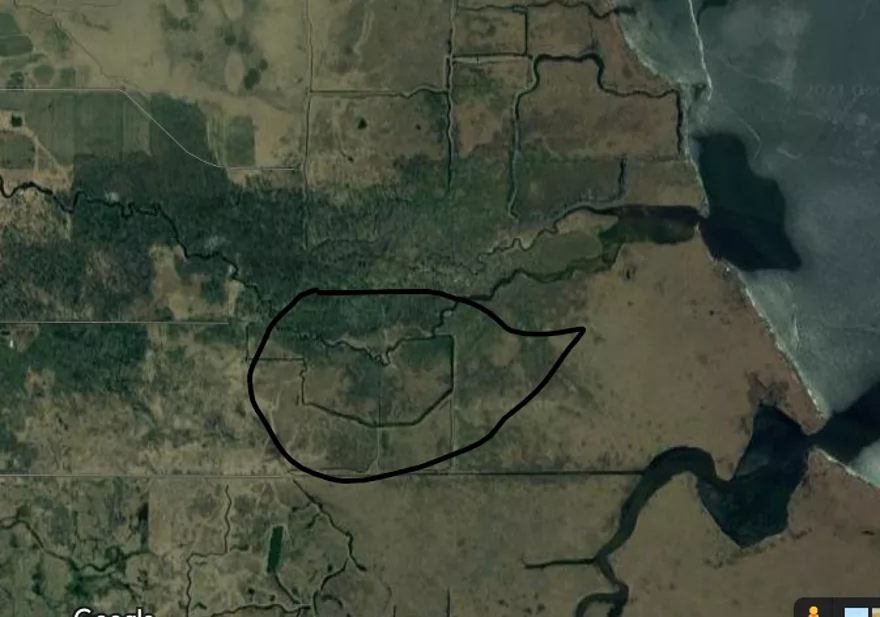
The entire area – the river bottoms, Lake Poygan and the expansive marshes around it – are all byproducts of Glacial Lake Oshkosh, of which Lake Winnebago, Horicon Marsh and other wetland and marsh complexes in this part of Wisconsin are remnants. The glacial lake was formed when an ice dam blocked water from draining out to the northeast, to Lake Michigan. (See map in photo collection)
Lake Poygan, into which the Wolf River ends its journey (note that the eastern third of this water body is named Lake Winneconne), adds a fun dimension to a trip I would break out into four parts: The woods, the farm, the delta, and the lake. Let’s head downstream!
I recommend putting in behind a small apartment building, river right, whose driveway comes just south of the Hwy. 49 bridge over the Pine. There’s another put-in possibility at river left, upstream of the bridge and just below a small dam. But it’s both rocky and muddy. At the apartment building, we were likely trespassing on private land, but many residents have observed my coming and going and not only seemed unconcerned, one resident loved the idea. Just don’t leave your vehicle in their parking lot.
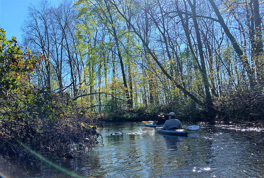
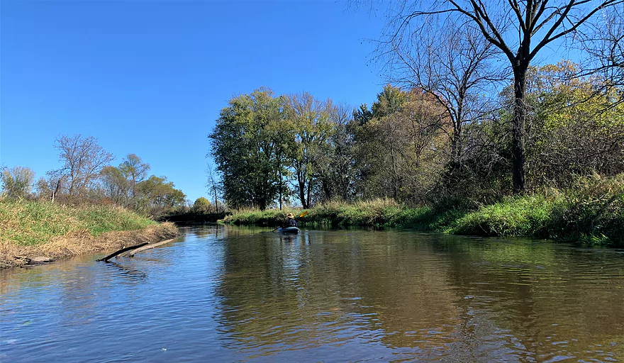
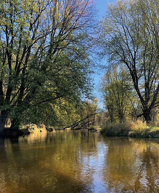
The first part of this trip is what I’d call “the woods.” Classic silver maple forest is present, with occasional fairy-tale willows accentuating the banks. We learned quickly that there are no problematic deadfalls here; it was clear some river angels have been keeping this section open, with evidence of very recent cuts. Current is gentle and steady, water clear, water volume adequate, bottom sandy. The notion of Paddling Nirvana comes to mind.
You wend your way through this wooded and very remote segment for an hour or so. What’s remarkable is what feels like a total absence of human presence. We were pleased to not find a single bit of junk or litter – not even the obligatory tire.
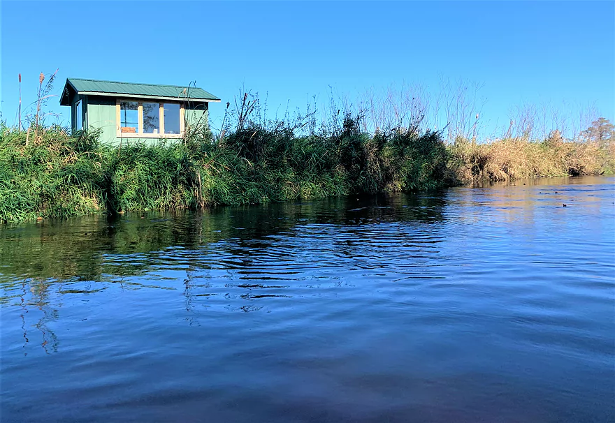
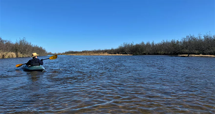
Human influence, albeit quite subtle, reappears in what I dub the “farm section.” The sky opens up; you can hear the sounds of farm equipment and spot the silver-colored domes of silos. The river banks are high here and you can’t actually see the farm fields. You will easily pass under two farm bridges and float by a cozy looking hunting shack on the left bank.
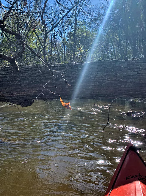
Signaling the end of the farm section is a massive sentinel white oak tree. The woods return, the river narrows and the deadfalls increase somewhat. Again though, no portages and no carry-overs.
Then come a few intriguing surprises. You’ll ask yourself, “What is a lawn mower and snow shovel doing out here?” under a platform being built in a huge silver maple tree. Some river rat has even planted a couple of fruit trees – who knows why. This odd setting signals a fork in the river. Our advice when you come to this fork leans on Yogi Berra’s wisdom: Take it!
The channel that flows to the left is the main channel. Take that one for easy paddling; that’s what paddling partner Scott did. In taking the right channel, my other paddling partner Stu didn’t know at the time what he would find– it could have been a distributary off the Pine and flowed on its own somewhere into Lake Poygan. But that channel is actually a remnant of a drainage ditch of bygone times when, as happened all across Wisconsin, they foolishly attempted to drain this marsh to create farmland. Rarely, if ever, do you see a natural stream make right-angle turns — a clear hint you are paddling in a drainage ditch. There’s just one portage in this channel, which eventually circles back to the mainstem of the Pine. (See Google Earth photo and diagram in the photo collection)
Where the two channels converge, the water is signaling that Lake Poygan isn’t far, but you still can’t see it. The current slows, the river widens, deadfalls disappear, and trees give way to marsh vegetation and reed-canary grass. Here begins the third phase of this run – the marsh, or what I like to call “the delta,” where the river slowly merges into Lake Poygan.
Navigating this was my biggest concern that day: would there be adequate water or would we be shoveling sand? It was, happily, the former. I can’t really suggest a route though that expanse of water and sand and marsh grass. We found current along the left shore for a while. Simply keep your eyes open for current, which eventually disappears when the river hits “sea level” with Lake Poygan.
Now the fourth phase begins – the northbound excursion on Lake Poygan to the takeout, a boat landing at the end of Badger Drive. Wind was negligible this day, so we enjoyed an uneventful winding down of our river trip on the big water. Before paddling the Pine, you might want to check the forecast for wind speed and direction. Making this landing in the face of strong north or northeast winds – and the attendant waves – could be chancy in this shallow lake.
There is a public landing on the south shore of Lake Poygan, off Lake Poygan Road, but I’d recommend taking out there ONLY if you know you’ll have fierce winds and waves in your face paddling northward on your way to the west shore landing at Badger Drive. It would be both a longer paddle and a considerably longer shuttle trip, especially if you’re biking the shuttle.
No known flow gauge for this Pine River. Use as proxy USGS stream gauge reading for the Wolf River at New London, WI. On this day, that gauge read about 1,650 cfs. (Median flow for this gauge is 1,200 cfs.)
Thanks for the review Denny! Another gauge reference that might be helpful is the Waupaca River which registered at 1.8′.
WisconsinRiverTrips.com is always very appreciative of guest reviews, and if you the reader is ever interested in submitting one, you can use this online form.
Detailed Overview
- 19th Road to Hwy K: 1.7 miles. A neat prospect with clear water and no logjams.
- Hwy K to Aniwa Road Shoulder: 0.7 miles. Maybe 4 logjams.
- Aniwa Road Shoulder to Aniwa Road Bridge: 1.0 miles. Good prospect but likely 5 logjams.
- Aniwa Road to Apache Road: 0.7 miles. Likely a scenic and wooded section but 2-3 logjams are likely present.
- Apache Road to Covered Bridge Road: 5.8 miles.
- Apache Road to Hwy A: 5.7 miles. Good scenery and clear water. But there are multiple portages...8 for logjams, 1 for a low bridge and 1 for a Class 2+ set of rapids that has a strainer.
- Hwy A to Covered Bridge Park: 0.2 miles. A good stretch with some boulders and rapids. There is one minor logjam that requires limbo'ing. The scenic Saxeville Covered Bridge is by the park.
- Covered Bridge Road to 26th Road Wayside: 3.5 miles.
- Covered Bridge Road to Portage Street: 0.4 miles. An incredibly scenic stretch with dense boulder gardens and rapids. Some of the rapids are Class 3 and require difficult tight turns.
- Portage Street to Hwy W/Dam: 0.8 miles. The creek widens and slows into an impounded pond. This can get shallow and some wading may be required.
- Hwy W/Dam to 26th Road Wayside: 2.3 miles. This is a very nice stretch with boulders, tree canopies, pines, and quaint cottages. There is a low bridge to duck under and one logjam to portage.
- 26th Road Wayside to Hwy E/Dam: 2.7 miles. Maybe 6 logjam portages.
- Hwy E/Dam to 28th Court: 2.2 miles. An attractive stretch with many rapids...but likely many jams...perhaps 17.
- 28th Court to Poy Sippi Community Park: 5.3 miles. A mediocre stretch guest reviewed by Denny Caneff. This is a mostly open stretch, with maybe one noteworthy logjam. Some flowage paddling is required.
- Poy Sippi to Badger Drive Landing: 10.2 miles.
- Poy Sippi to Mouth on Lake Poygan: 8.5 miles. A good stretch guest reviewed by Denny Caneff.
- Mouth on Lake Poygan to Badger Drive Landing: 1.7 miles. This is a short stretch due north on Lake Poygan to reach a landing. Big lake paddling can be dangerous...do not do this when it is windy.
Trip Map
Overview Map
Video
Photos Size:
I heard from “Alisa” that this stretch may now have many logjams thanks to recent storms. She estimated there were at least 10-12 serious logjams that required portages. Hopefully this are cleared out in the future.