
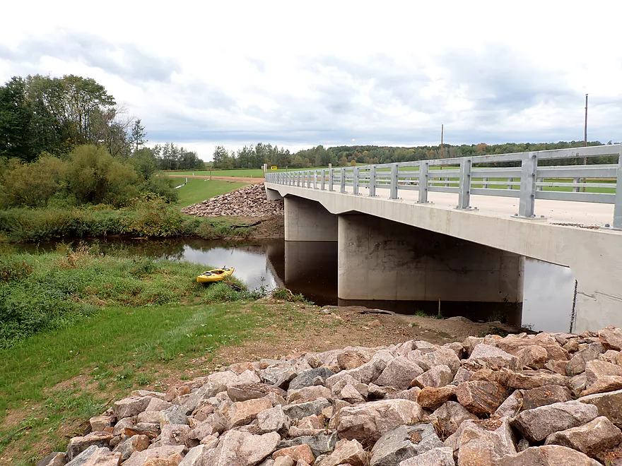
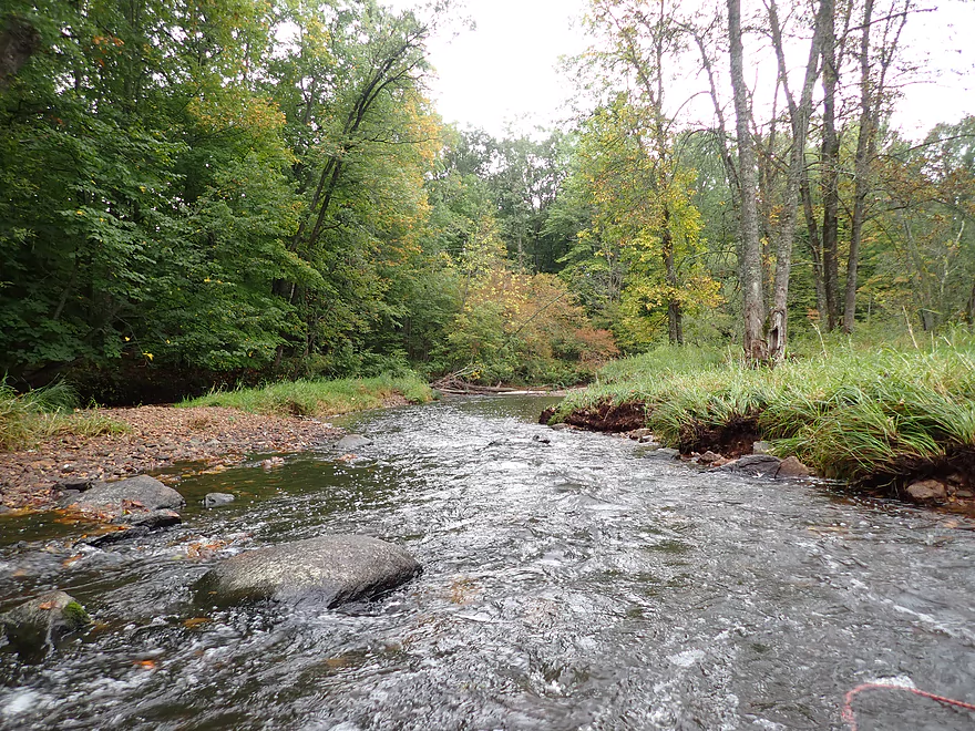
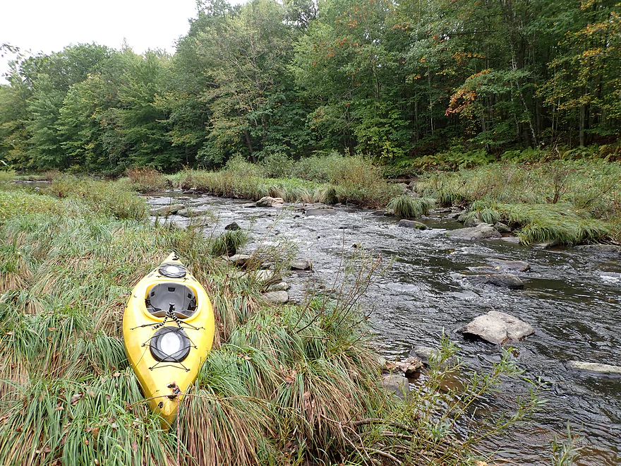
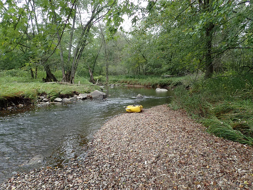
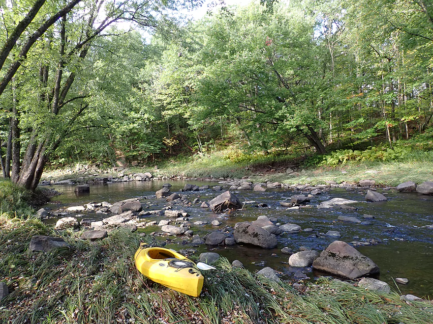
Putting in at Rock Creek Road
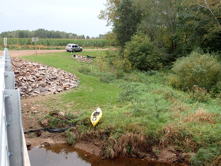
Decent access…parking available by Owen Ave
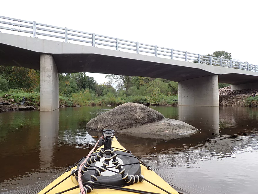
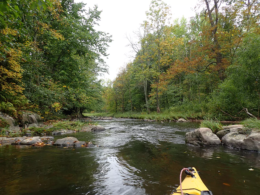
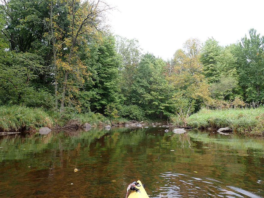
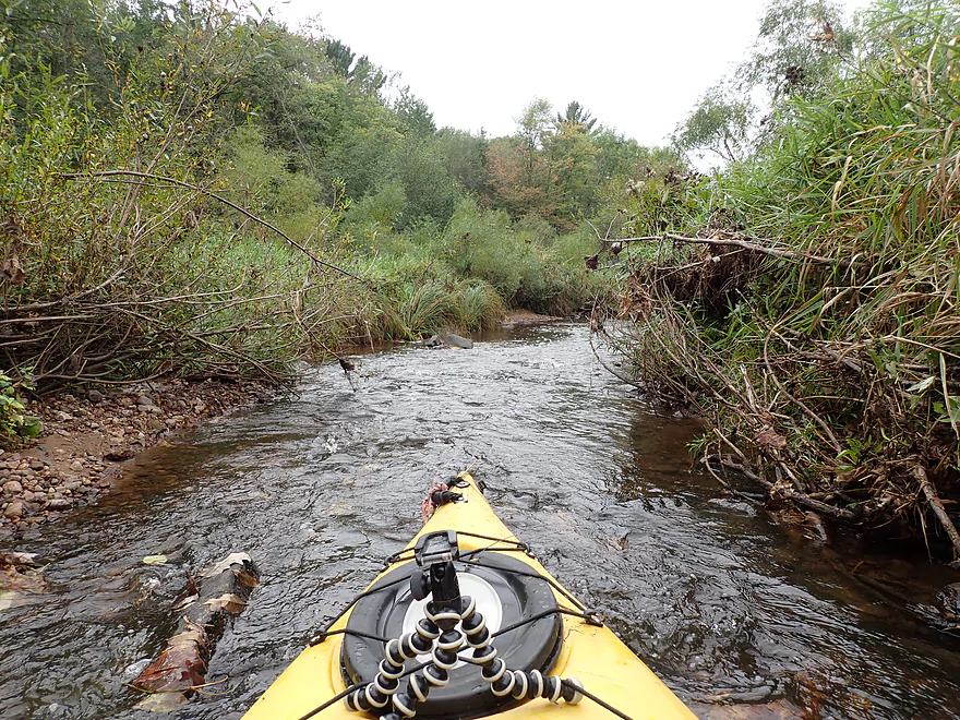
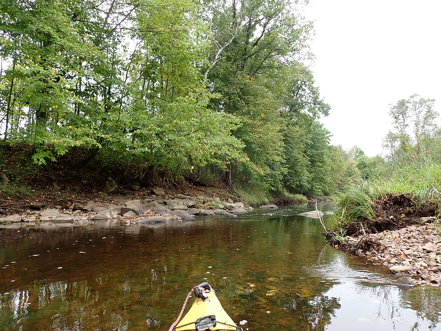
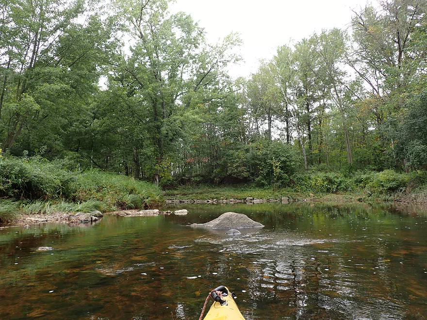
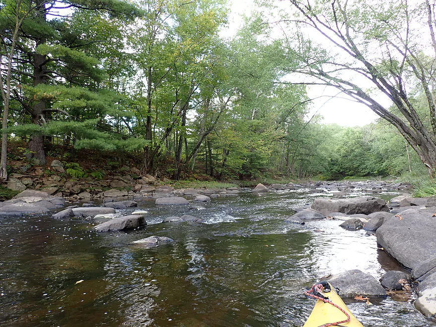
Paddling under the bridge
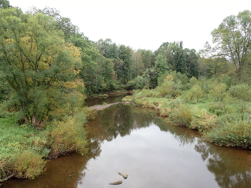
View from the bridge
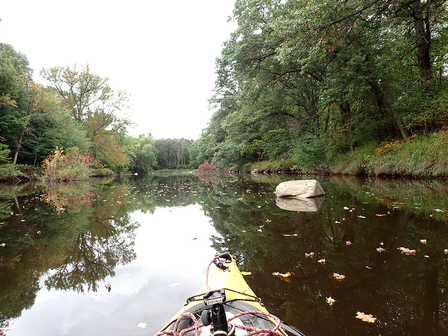
A reflection arrowhead
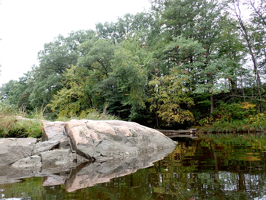
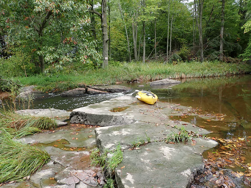
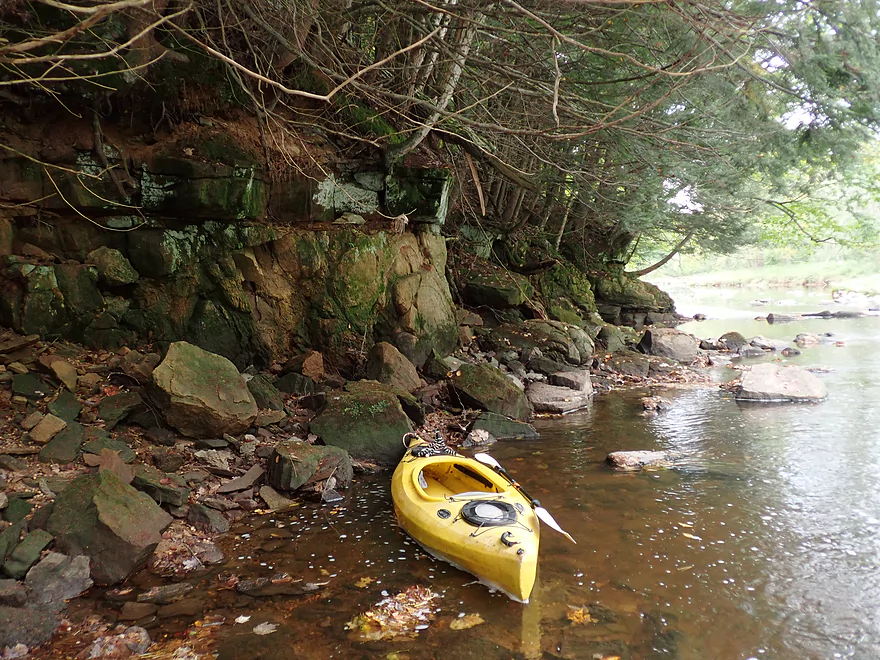
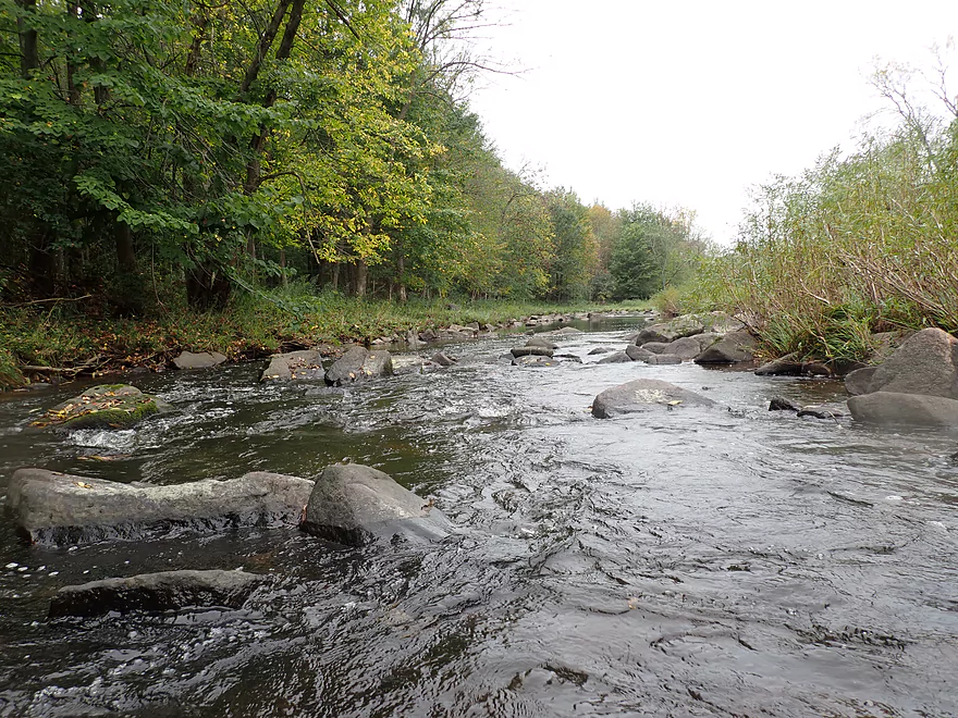
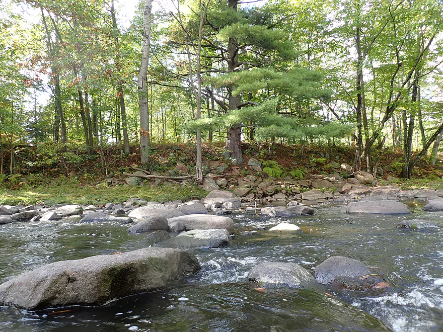
Some exposed bedrock
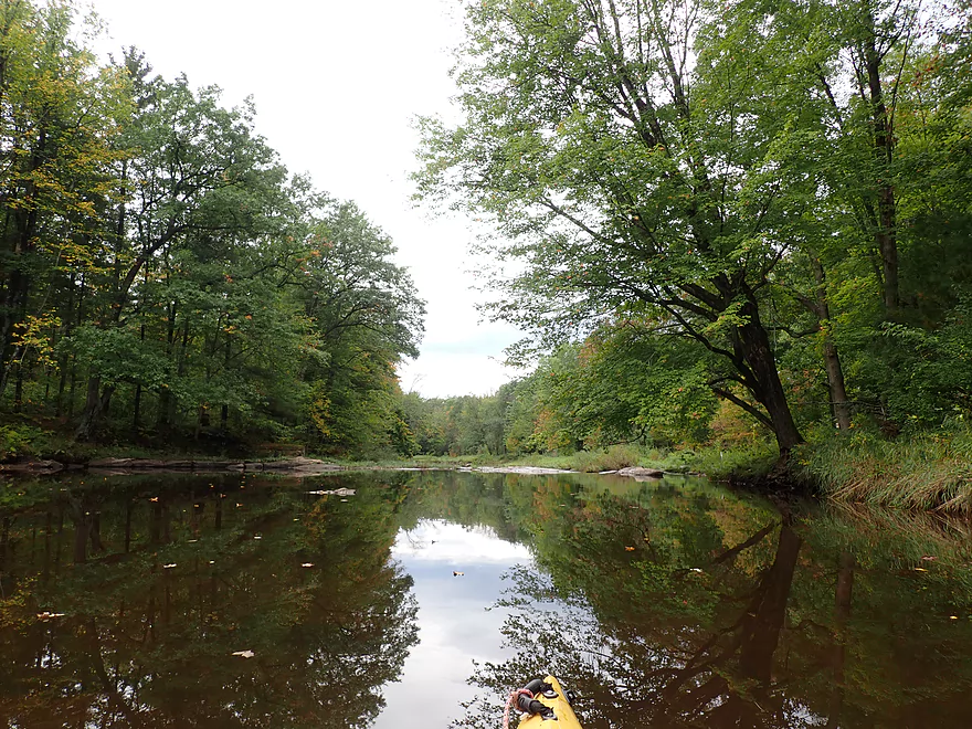
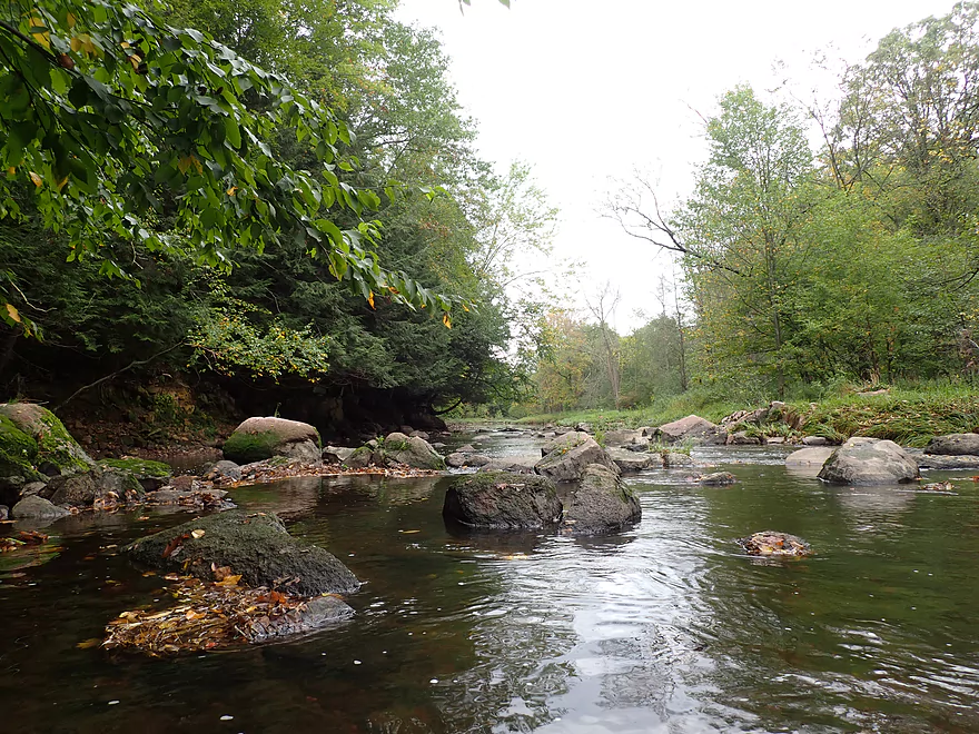
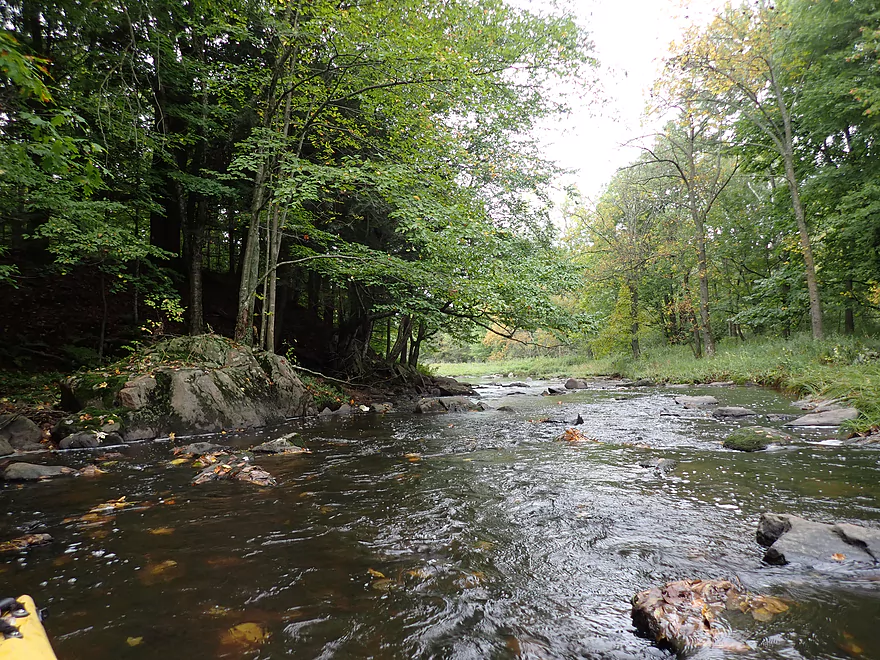
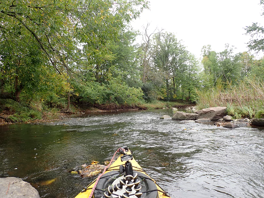
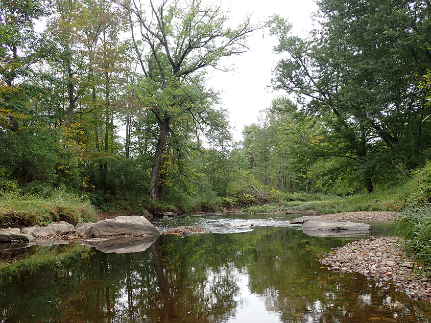
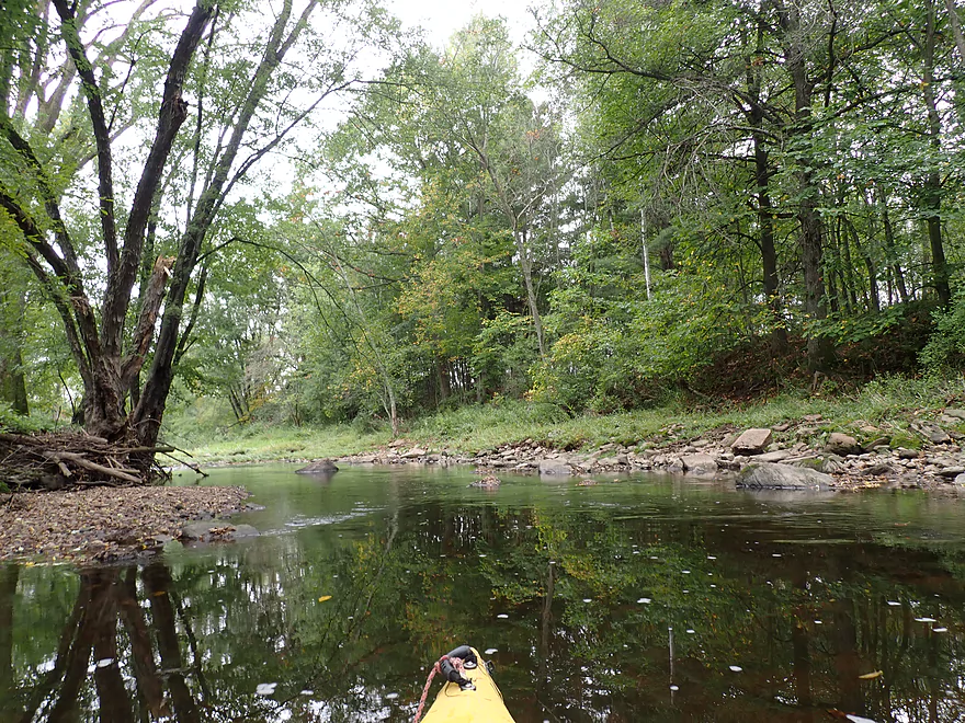
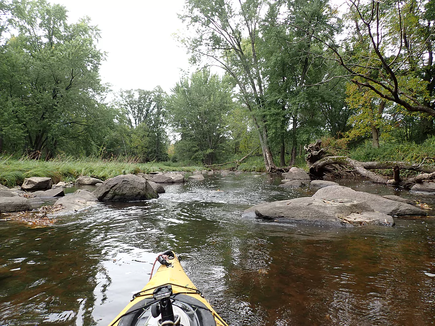
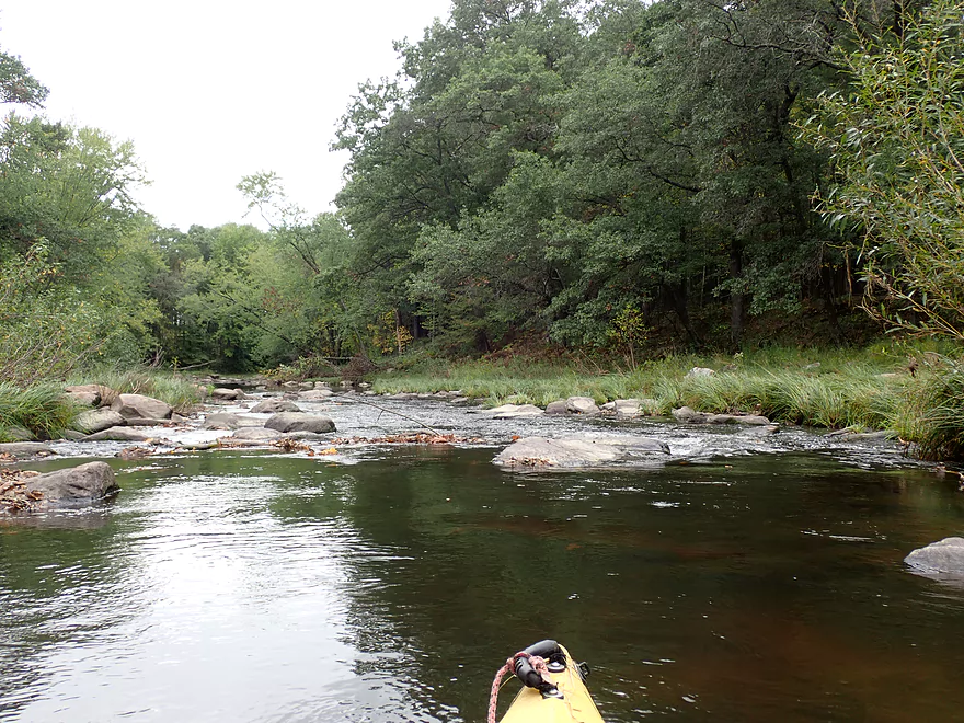
Peaceful creek
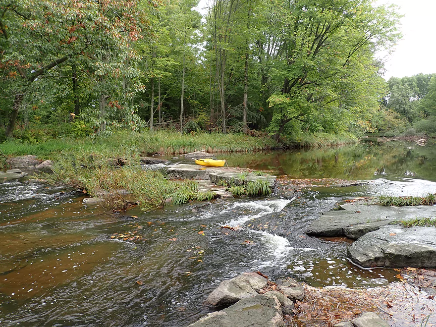
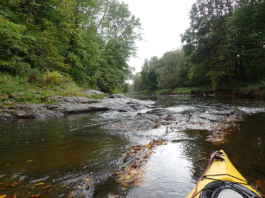
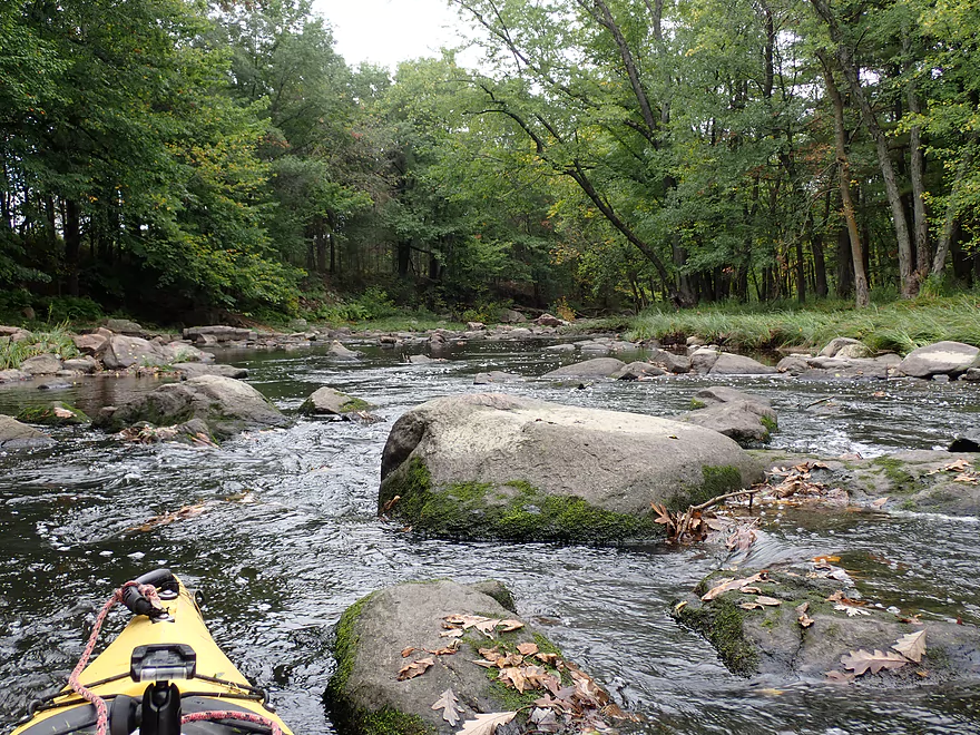
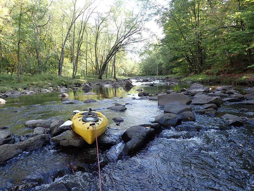
Another choke point
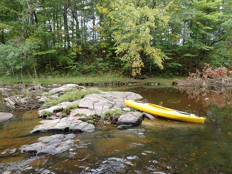
Standing on a bedrock island
Pretty cool
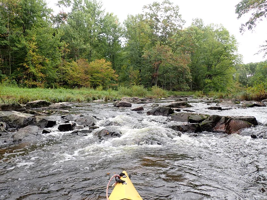
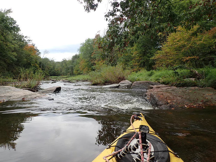
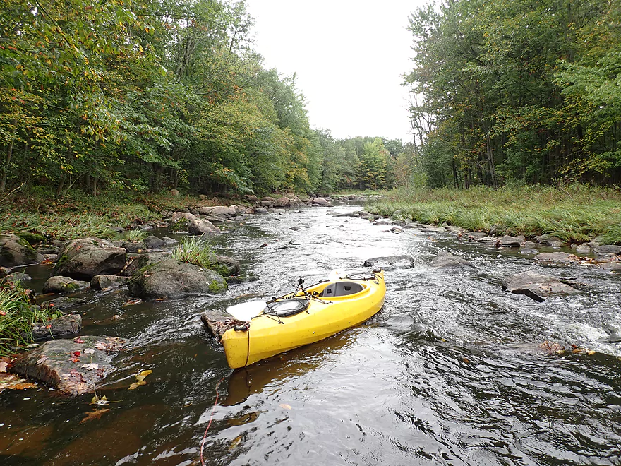
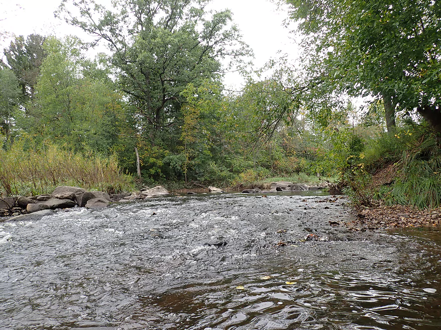
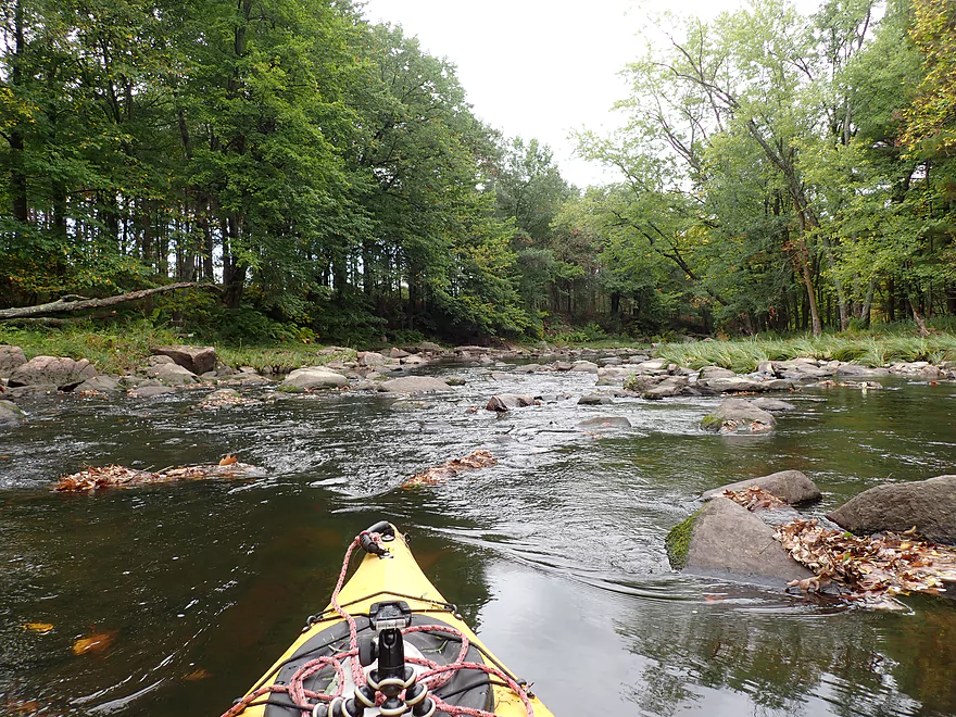
One of countless rapids
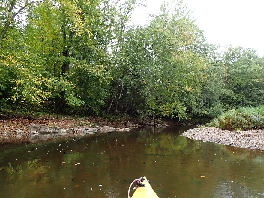
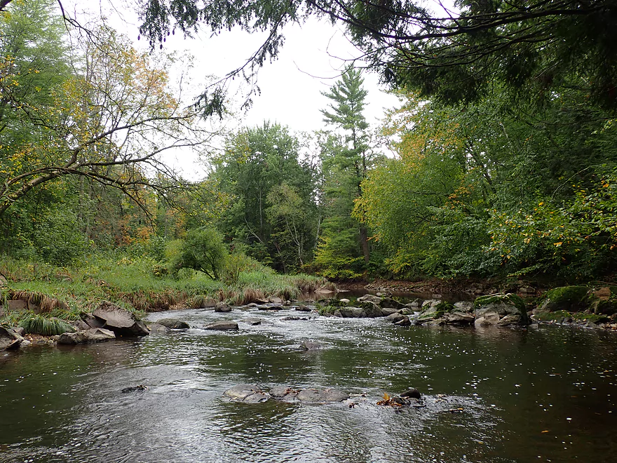
Entering a nice part of the creek
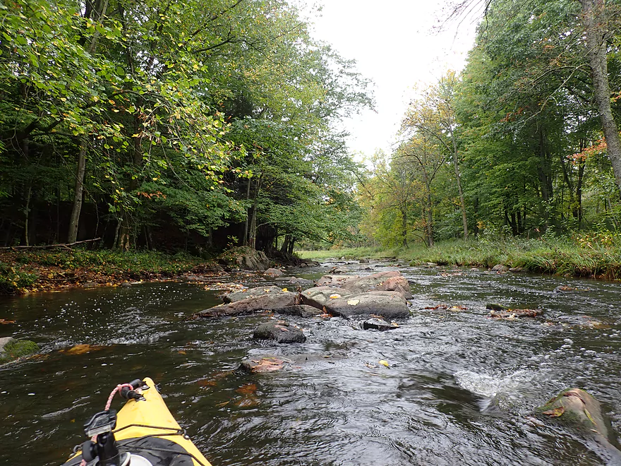
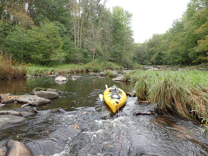
One of countless boulder gardens
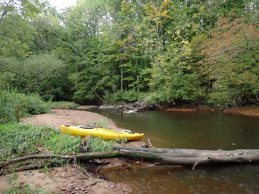
Reverse view
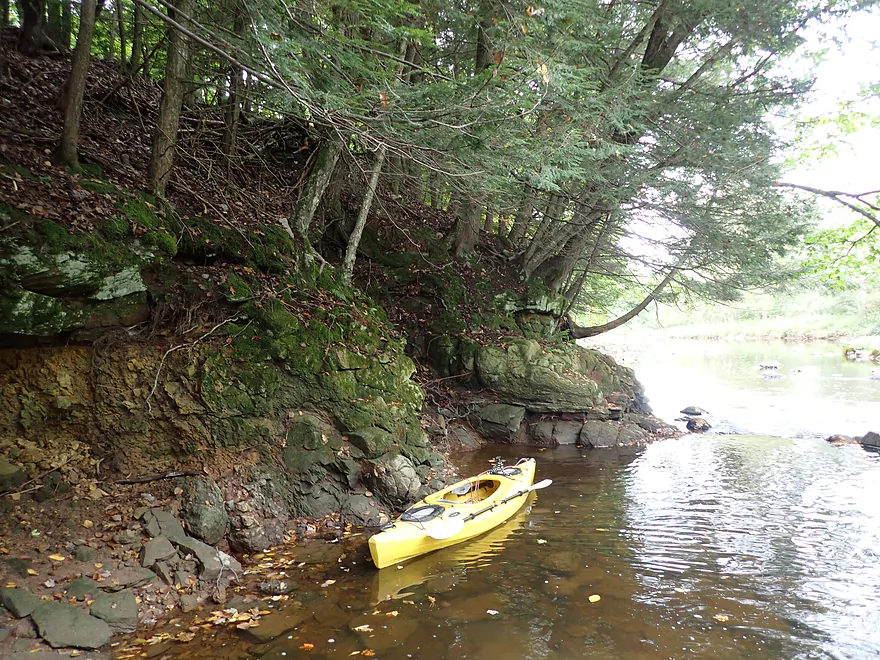
Some outcrops
Reminded me of the upper Yellow River
My favorite photo
On the right is a large island which splits the creek
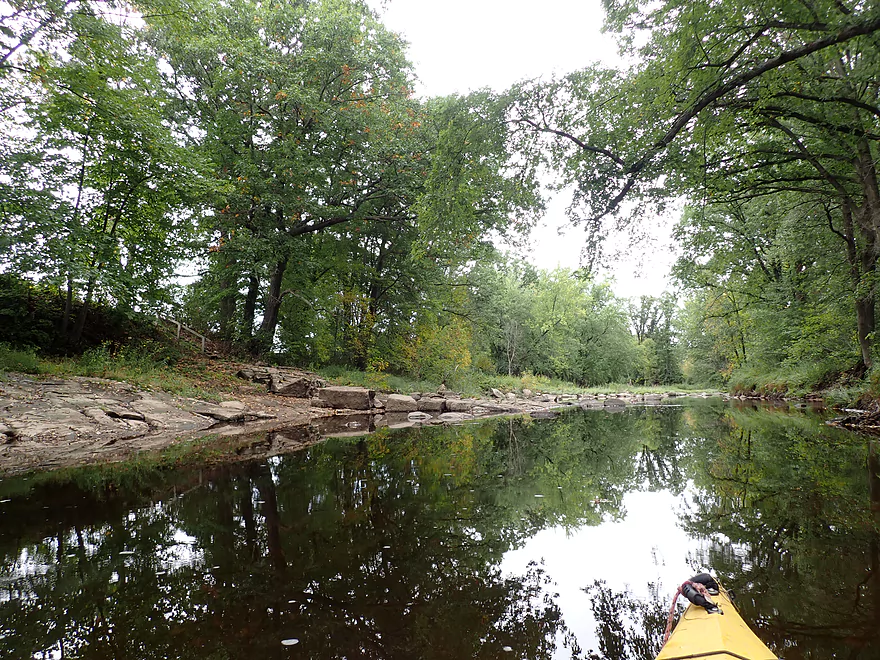
Super scenic
Another outcrop
Still paddling past the island
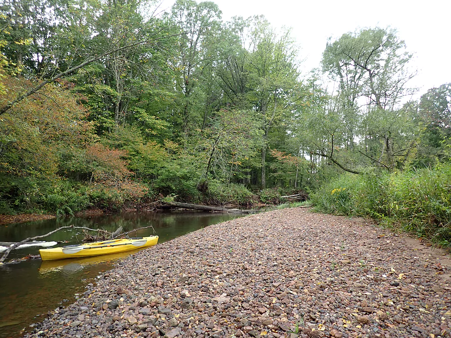
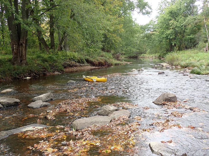
Great gravel bar
Taking a break in the rain to clean my camera
End of the island
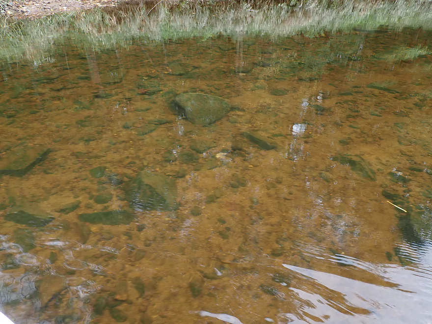
Clarity was great
Decent number of pine along the creek
Entering a massive boulder garden
Quite a bit of wading was required
And portaging
A micro-channel around another island
In high water this could be fun
Finally past that boulder field
Still some shallows
Water had a red hue
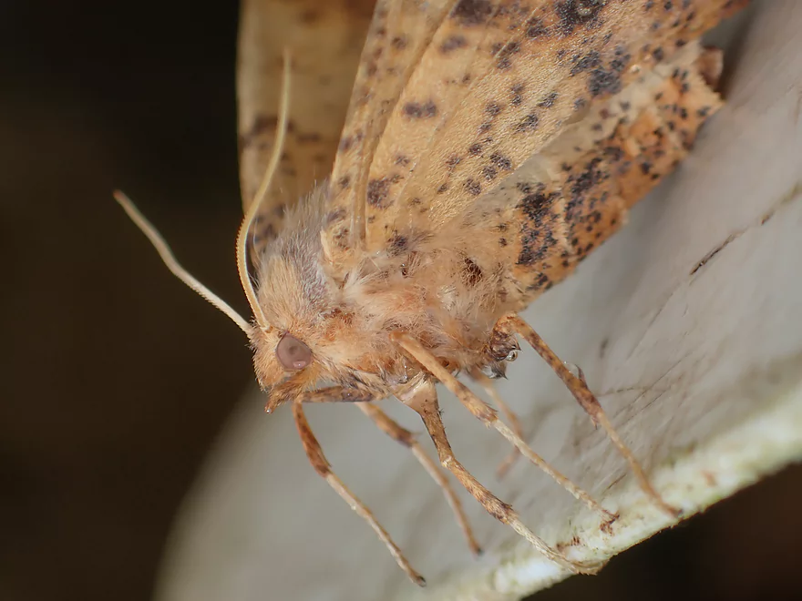
I saved this moth from drowning
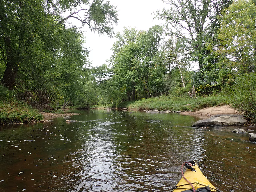
Nice part of the paddle
Another great gravel bar
This reminded me of the Big Eau Pleine River
Nice to have some decent paddling without constantly hitting rocks
Logjams weren’t an issue
Nice fall scene
Creek starts to slow
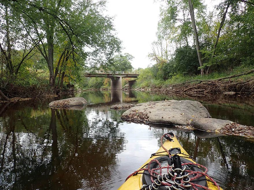
South Main Street
Slowest part of the creek
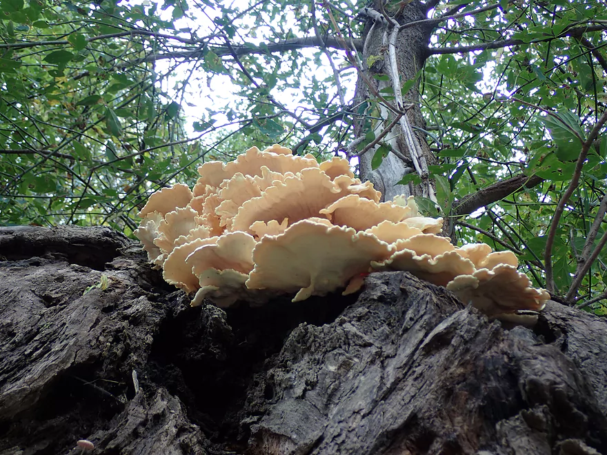
Shelf fungus
Start of another huge boulder field
This one is more scenic though
But is as congested
I had to wade most of it
If only there was more water
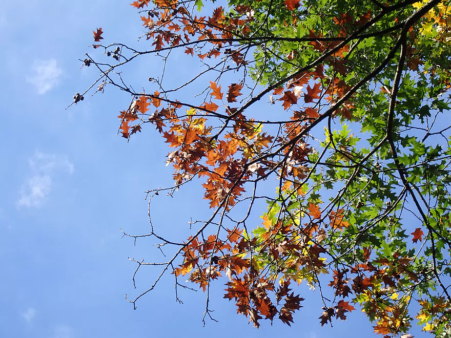
Some way too early fall color

At times it was easier to portage
Trying to resume the paddle
Scenery was top-notch
Back to wading
Sooo many rocks
At least the portage wasn’t difficult
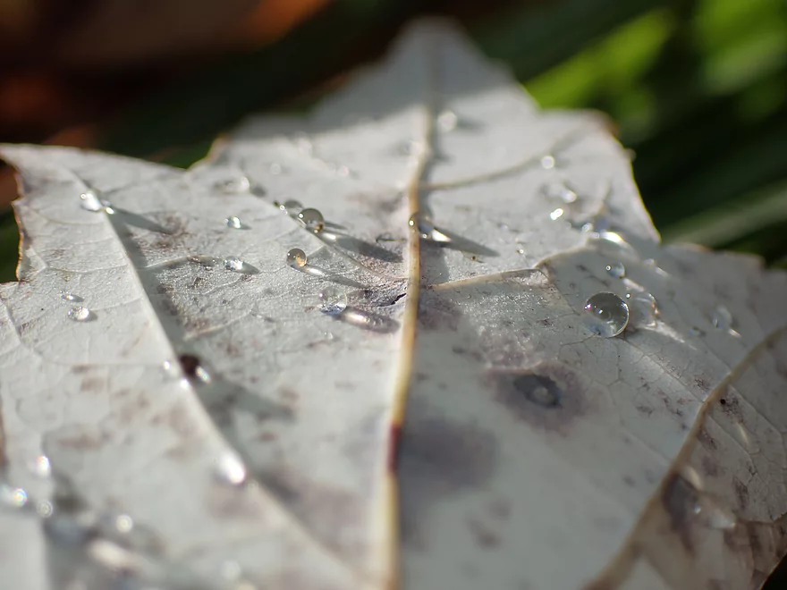
Some backlit droplets
Even with more water, it would be tough to fit through that
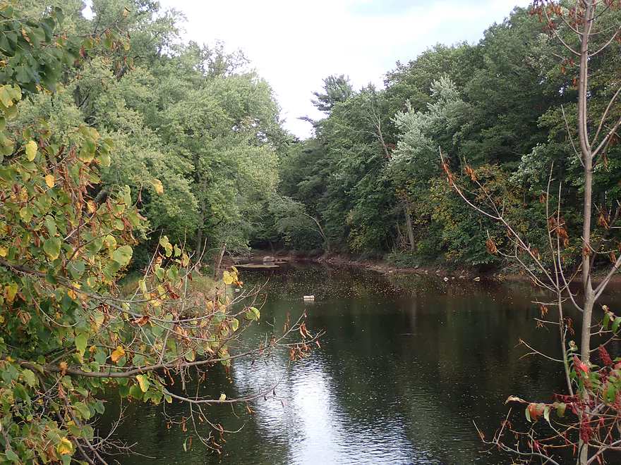
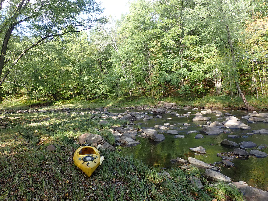
The mouth of Rock Creek
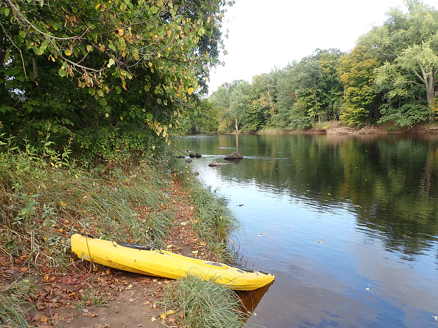
Nice access on the Black River
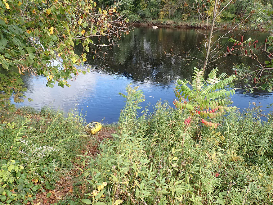
A faint trail leads to River Road
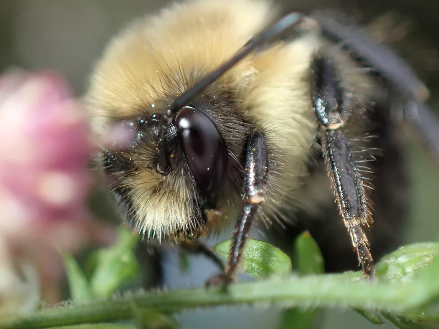
Quite a few cool insects at the take-out
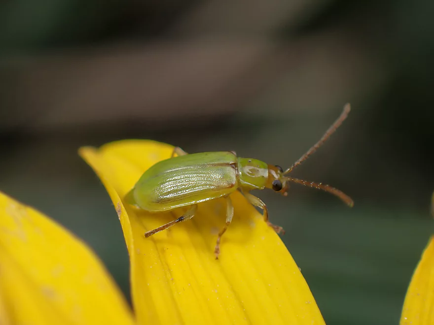
A leaf beetle
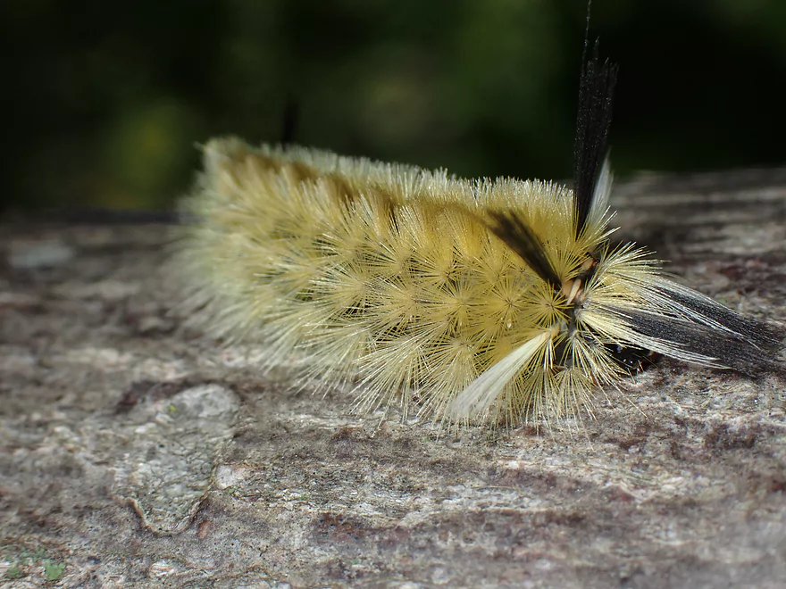
A tussock moth caterpillar,
Rock Creek

So this trip got off to an inauspicious start. It was raining in southern Wisconsin so I figured I would just keep driving north until I found clear skies to paddle under. Plan A was Halls Creek, but it was still raining hard by Black River Falls, so that was scratched. I kept driving north along the Black River until I came to Greenwood where Rock Creek empties into the Black. A while back, Matt (a Clark County Conservationist) gave me a number of paddling tips in the area and Rock Creek was among them. I figured that with area water levels being above normal (like the Black River), this would be a good opportunity to finally check out Rock Creek.
Both access points seemed reasonable so I went ahead and committed to the trip. The paddle started well with clear water, light riffles and exposed granite bedrock highly reminiscent of the East Fork. The banks were attractive with dense sections of hardwoods and a few pine. To start there were several boulder gardens and small chutes, but all were too low and I had to bump my way down.
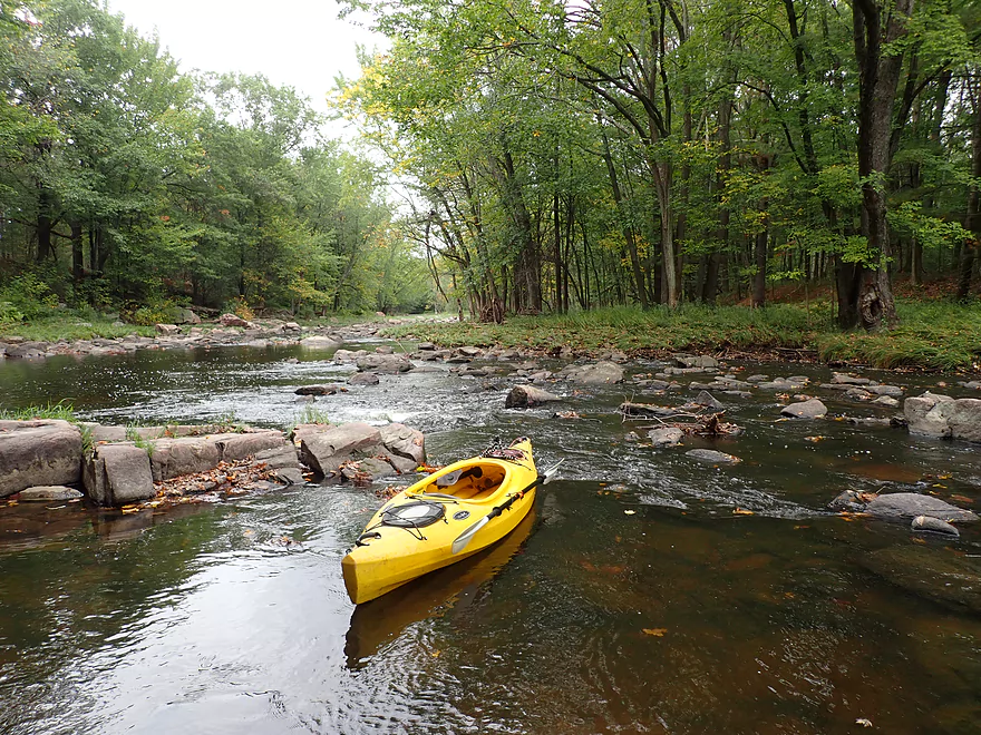
The creek was occasionally split by large islands and the first was really scenic. Along the left/south channel were several exposed granite outcrops. Boulder gardens littered the main channel and trees towered overhead…it really was a calendar moment. Unfortunately with the split channel, the water levels dropped and I had to get out several times. It soon started to rain which was a bit annoying, but the mist actually provided a nice ambiance to the river and helped with photography.
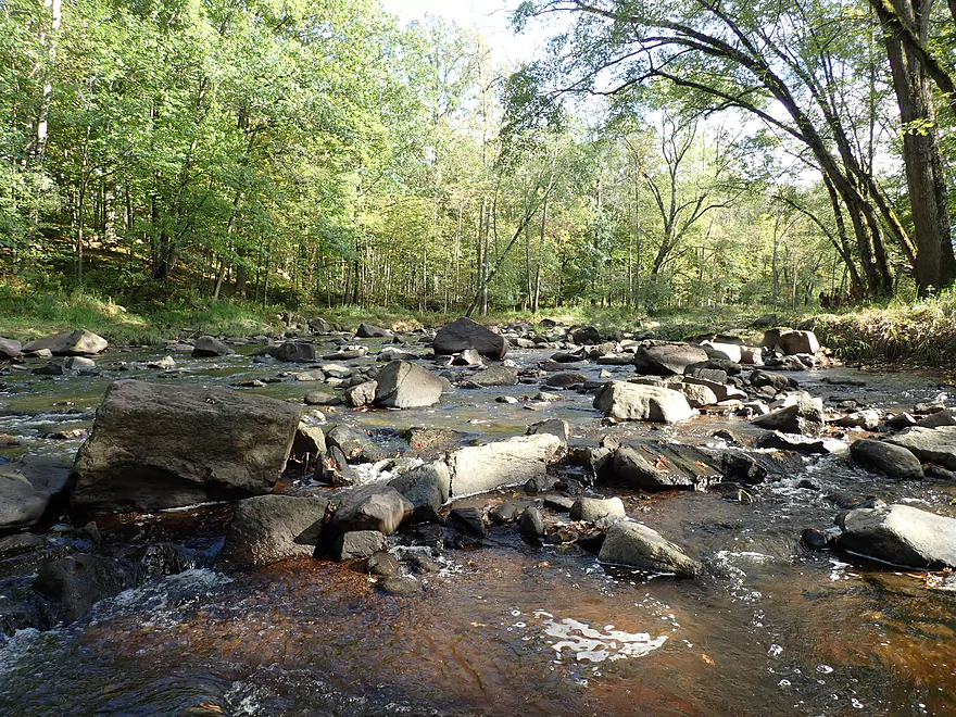
After that the creek opened up into a long straightaway and then turned sharply west and narrowed. This would mark the start of a huge 4000′ long boulder garden. No problem I figured…I would just bump my way down like I have on so many creeks, but this was different. These boulders were densely packed and sharply shaped…and despite the Black River being above normal…Rock Creek was not. In fact it was extremely low and I erred majorly in my depth assessment of the creek. On top of this my “red boat” was on the disabled list, so I had to use my “yellow boat” which doesn’t have the same shallow water clearance. It was a bad combination, and I would have to wade much of this 4000′ stretch. This was not always easy as the footing was poor and the shoreline, while relatively flat, was a bit uneven for portaging.
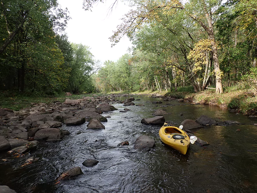
I was in pretty bad mood at that point. I thought I heard traffic ahead and resolved to simply take out at the next available bridge where I would walk to my car/bike and abort the trip as soon as possible. But finally that infernal boulder garden ended. Up to the Main Street bridge, there was still some spots that had to be waded, but it was much more manageable and the creek here was super scenic.
I decided to soldier on after Main Street given the improvement in the creek. The river stayed open for a bit, but once it turned sharply north I encountered another huge boulder field that had to be waded/portaged because it was so shallow. This I didn’t mind as much as this was shorter (2500′) and was much more scenic than the first field. The creek took a final turn west and emptied into the much larger Black River. Conveniently enough there was a pull-off directly across from the mouth which made for a decent access. From my take-out I could hear the alluring roar of the Class 3 Greenwood Rapids on the Black River, which had me wishing I had paddled the Upper Black River instead. Oh well.
While driving home, I thought about the trip and couldn’t decide whether to give it five stars or one star. The scenery was fantastic and an easy five stars. But the shallow water was horrendous. Up until that point, the Fever River and Cedar Creek held the record for being the shallowest paddles I had ever done…but Rock Creek was easily shallower than both of those. But part of that wasn’t the creek’s fault. I wrongly assumed Rock Creek would correlate with the much larger Black River which it didn’t. At higher water levels this could be a fascinating creek to run, but it could also have some rough whitewater (not a lot of room between those boulders). Local whitewater kayakers may want to sample just the last part of the creek by putting in at Main Street (or the sewage treatment plant) and paddling the final mile to the mouth. With enough water this could have a fantastic 2500′ stretch of serious whitewater.
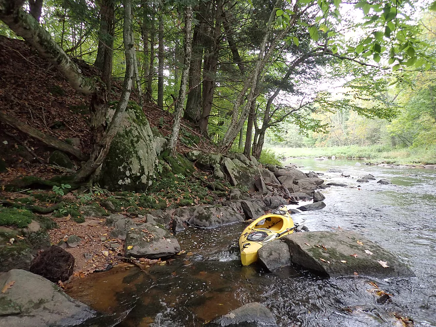
I started the trip at Rock Creek Road which is a very good bridge access. The best spots for parking and launching are southeast of the main bridge.
The uber adventurous could put in 4.3 miles upstream at Park Lane Ave. There are far fewer rocks upstream which (somewhat) makes it a more viable paddle, but the creek does get pretty small. For bike shuttlers, Park Lane Ave would mean a lot of gravel pedaling.
Conveniently located at the mouth is a decent access located along the western shore of the Black River. This is used by local fishermen and a faint dirt trail leads down a steep bank to the water.
Continuing downstream on the Black River is certainly an intriguing option. For example from the mouth to Twenty Six Road would be 4.5 miles and should include four Class 1’s and two Class 2’s.
The bike shuttle is 3.5 miles. About half of this is on gravel and there are several large hills…but given the short distance this likely isn’t a major issue.
Current: This creek has a common pool and riffle configuration.
Rapids: At low levels there are many light rapids, but none greater than Class 1. These could easily be much more serious in high water though. I wouldn’t be surprised if this creek developed Class 3’s at several of the narrow choke points.
Logjams: There was one logjam that had to be portaged. This was easy to do because the banks are shallow and relatively mudless.
Boulder Fields: This is a shallow stream with the most boulders I’ve ever seen…many of which are tightly packed into the creek. Some wading and portaging will be required. There are two massive boulder fields (a 4000′ stretch and a 2500′ stretch). At low depths these will have to be waded/portaged entirely.
Note, while the Neillsville gauge (Black River) is the closest gauge, I do not think it is representative. It registered 420 CFS which is high for the upper Black in fall. The Big Eau Pleine gauge is likely more accurate…this river is smaller than the Black, is rockier, is relatively nearby, and during my trip it was at 57 CFS (more representative of my low levels).
- < 100 CFS: Too shallow. Again I did the trip at 57 CFS.
- 101-200 CFS: Perhaps viable but still shallow.
- 201-300 CFS: A possible target range. Some technical whitewater may develop at these levels…perhaps up to even Class 3.
- 301-500 CFS: Likely only suitable for skilled whitewater paddlers.
- 500+ CFS: Maybe too high?
- Upstream of Park Lane Ave: The creek splits into two and both branches seem somewhat viable. Logjams likely aren’t a big concern. High water will be needed for navigation.
- Park Lane Ave to Rock Creek Road: 4.3 miles. With far fewer boulders than the downstream sections, this is still a small and rocky stretch that will require high water to run.
- Rock Creek Road to River Road: 4.5 miles.
- Rock Creek Road to S. Main Street: 3.4 miles. Scenic but very shallow section. There is a huge boulder field (maybe 4000′ long) that may have to be entirely portaged in low water. In high water it could consist of rough rapids.
- S. Main Street to River Road (Mouth on Black River): 1.1 miles. Starts slow, then the creek flows through a massive boulder field (over 2500′ long). This will have to waded in shallow water. In high water there could be rough rapids.
For downstream access options see my Black River Overview Map.
Trip Map
Overview Map
Video
Photos Size: