
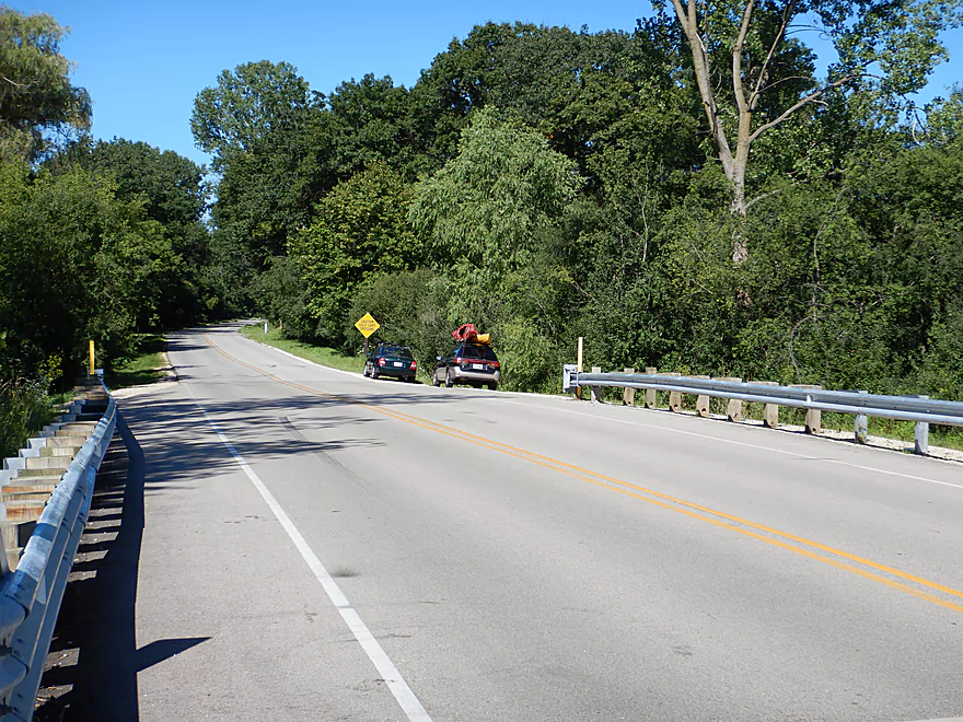
Starting at the 1st Sheridan Springs Road
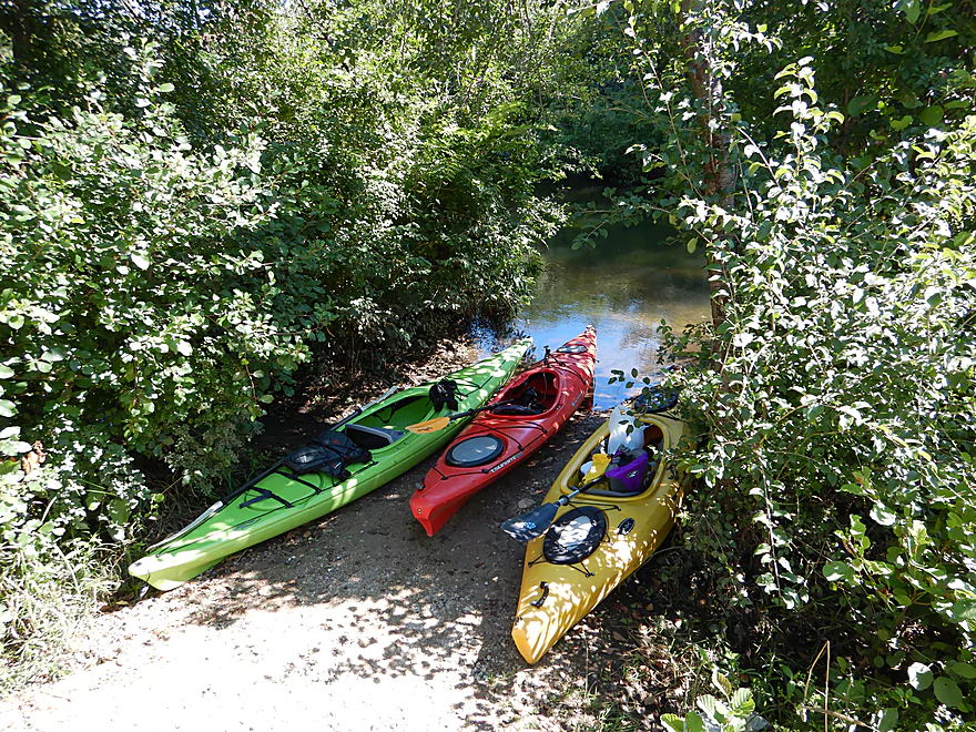
Nice gravel launch
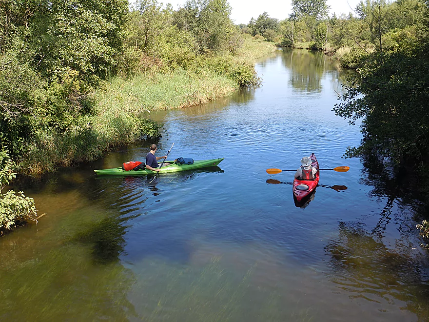
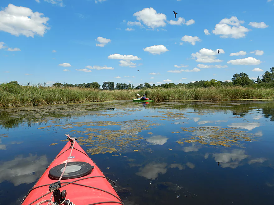
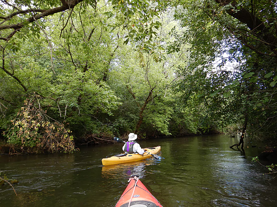
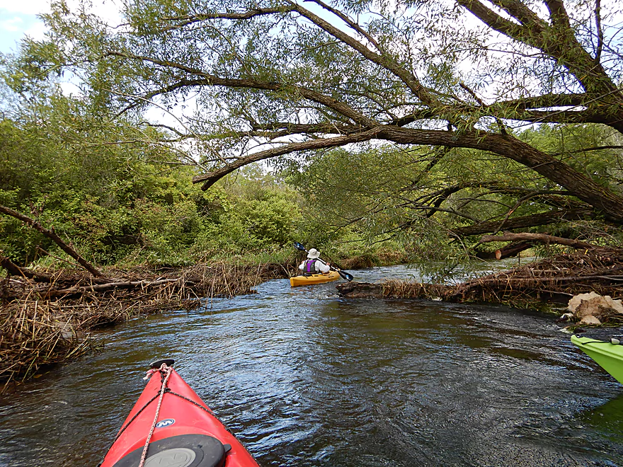
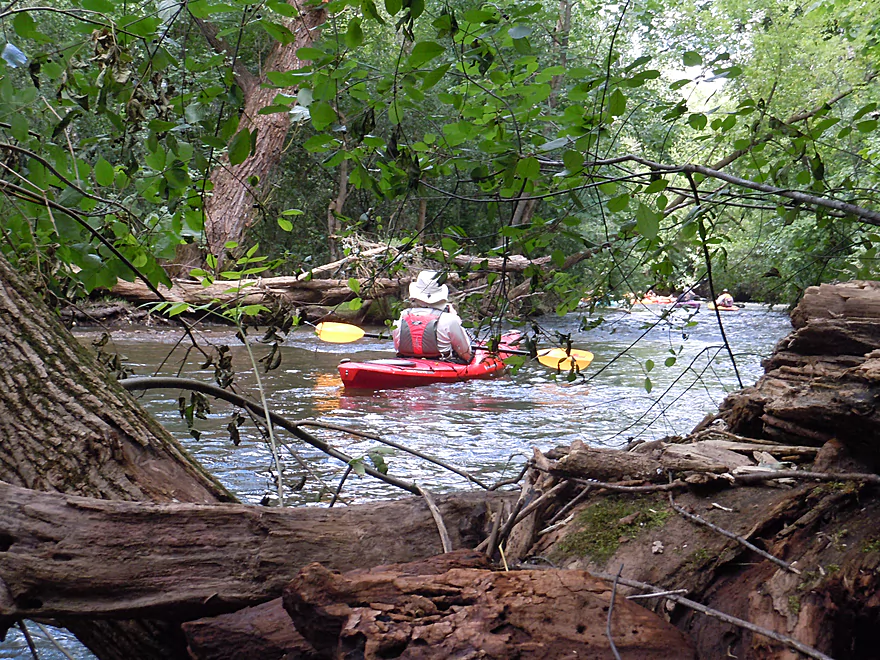
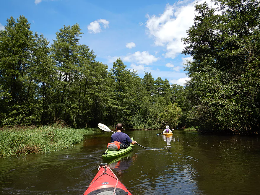
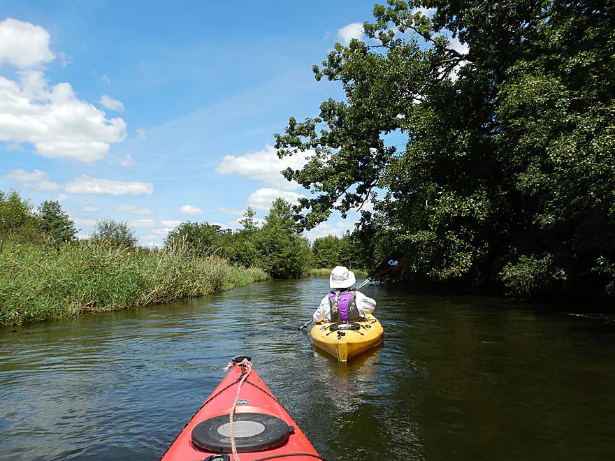
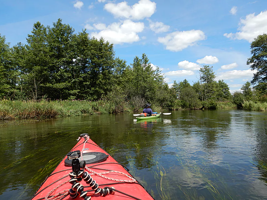
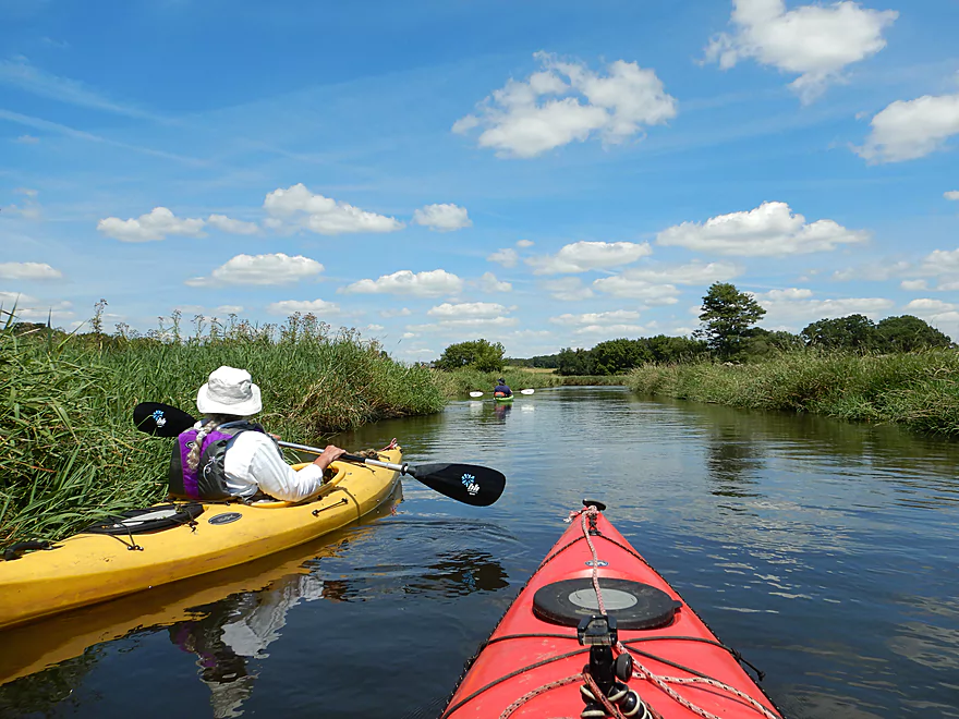
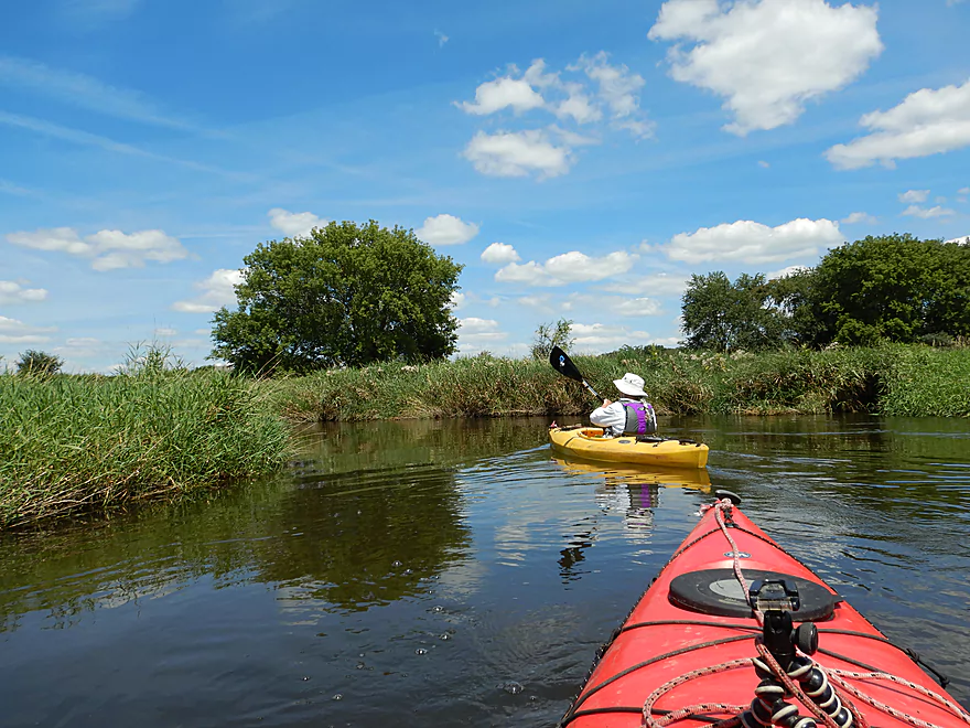
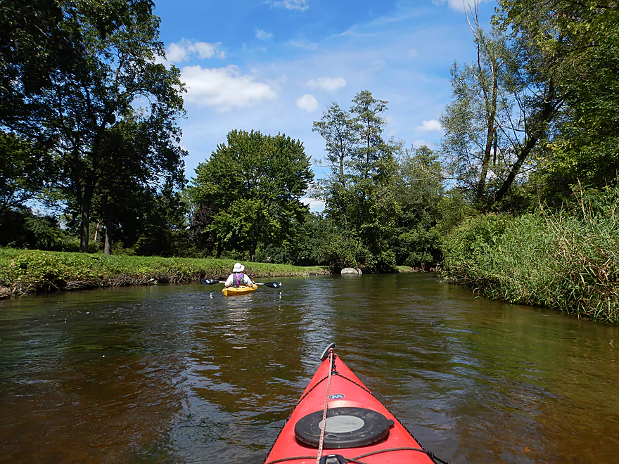
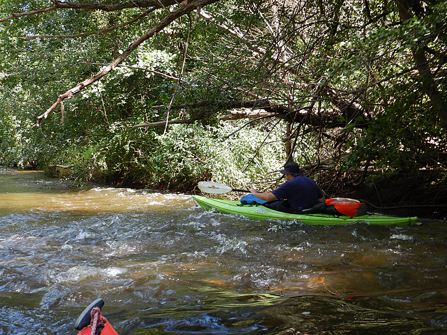
Looking downstream
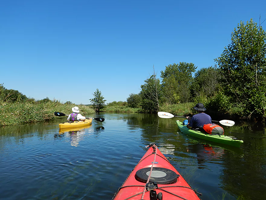
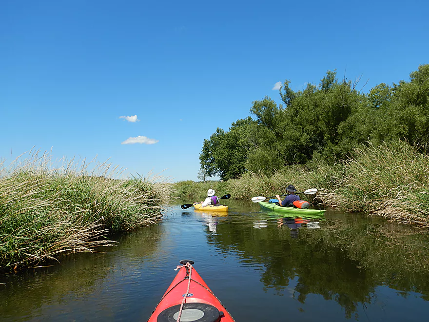
First couple miles are mostly wetgrass marsh
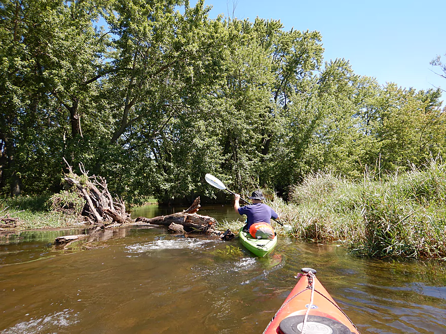
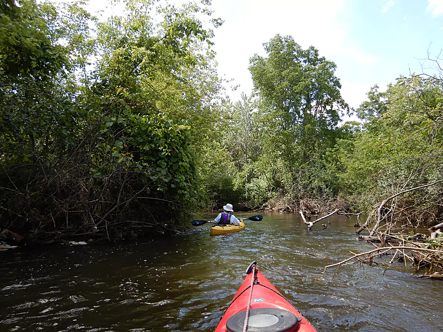
One of the few obstructions
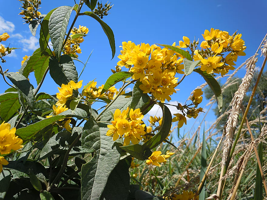
Yellow loosestrife
Como Creek enters
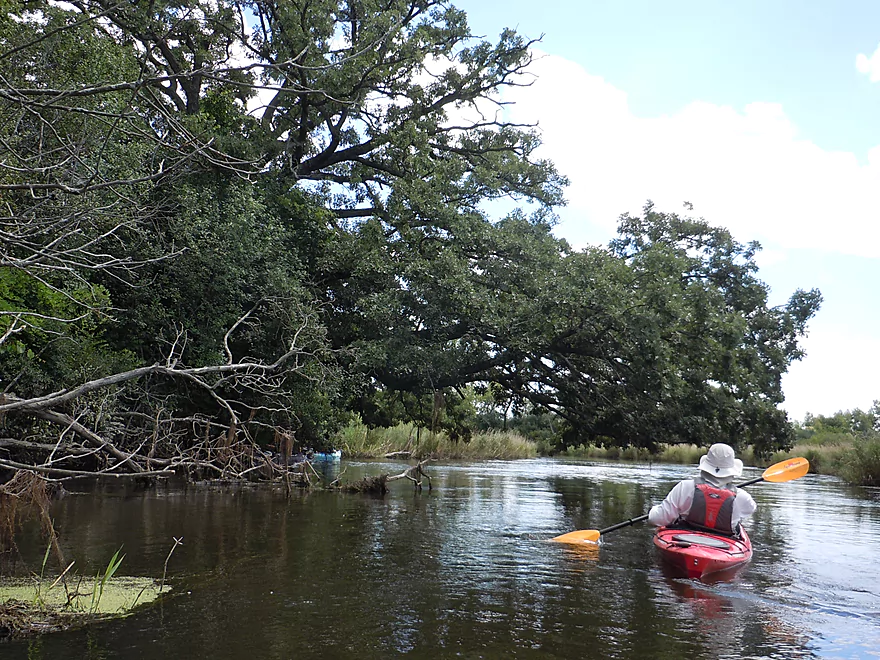
Bur oaks have massive horizontal branches
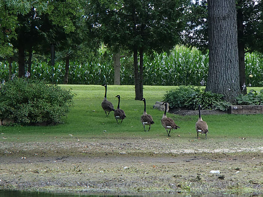
Geese marching in step
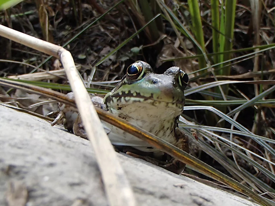
That is a mosquito feasting on a frog
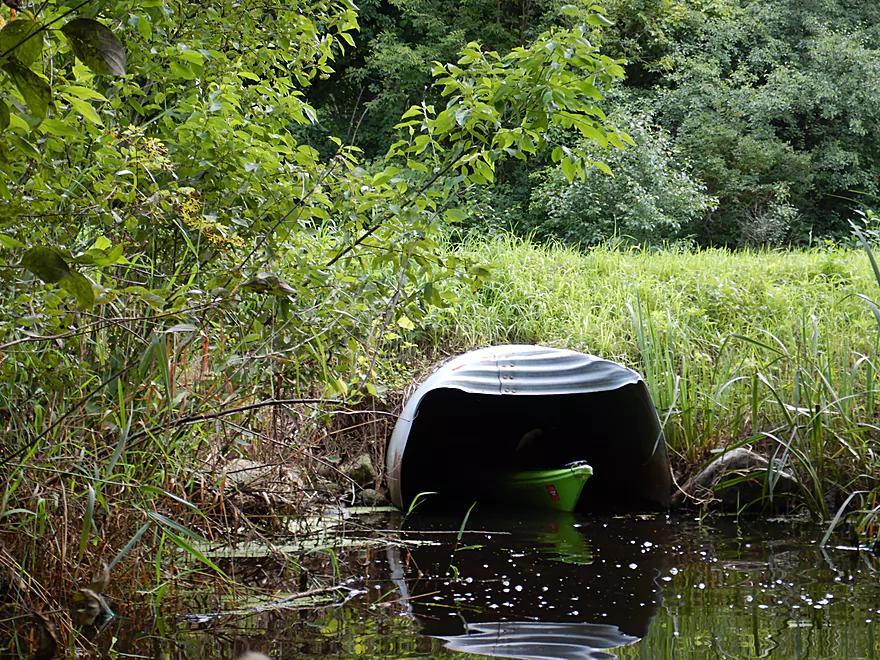
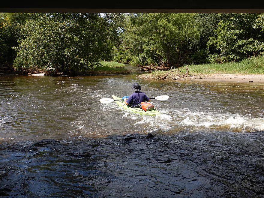
Something hiding in the culvert
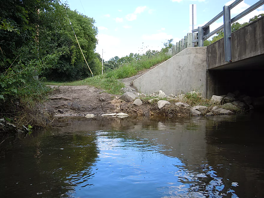
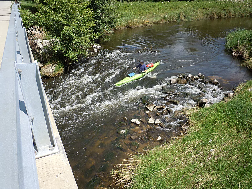
The 2nd Sheridan Springs Road bridge is a good access option
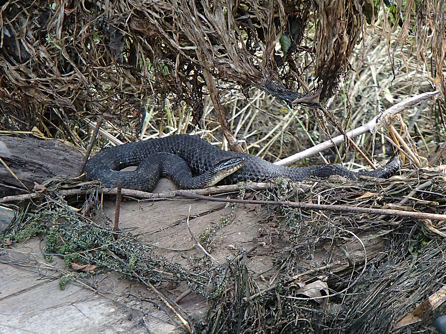
One plump water snake
Some great cleanup work by somebody
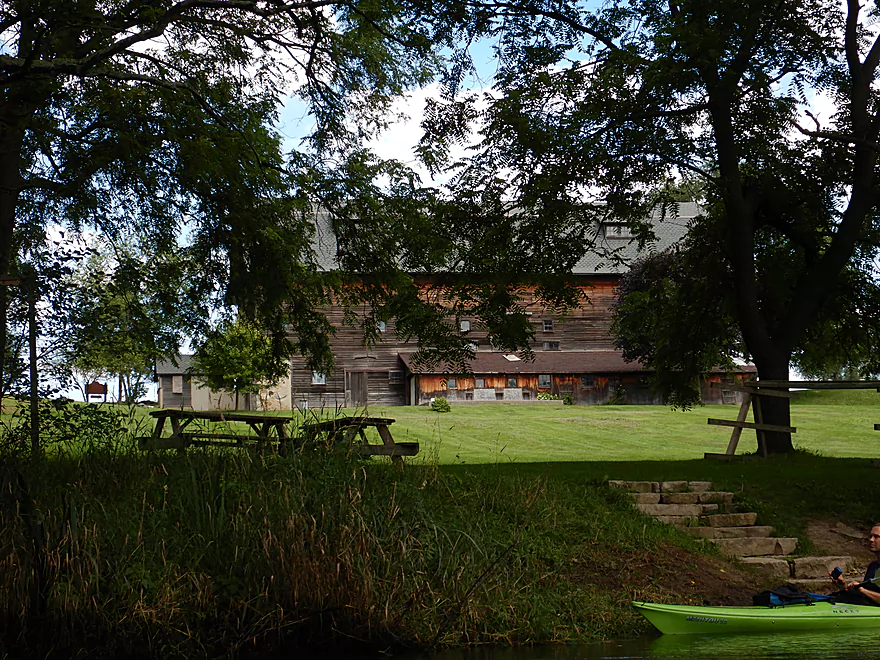
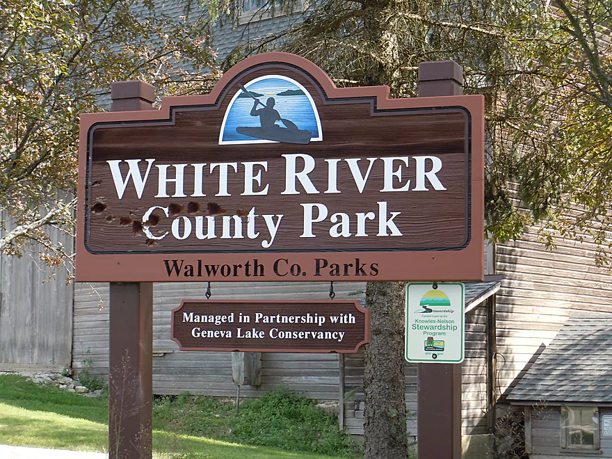
The large barn marks White River County Park
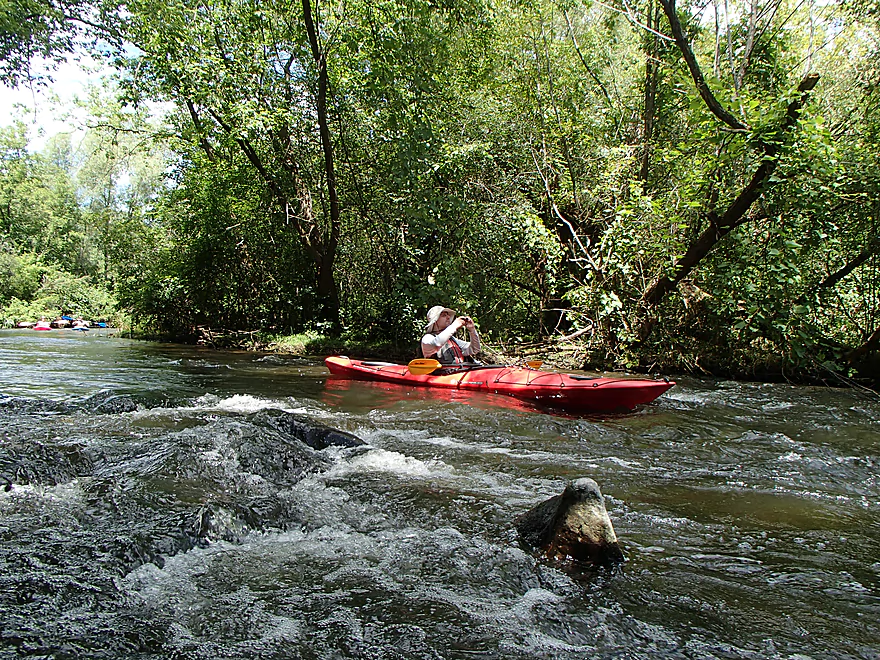
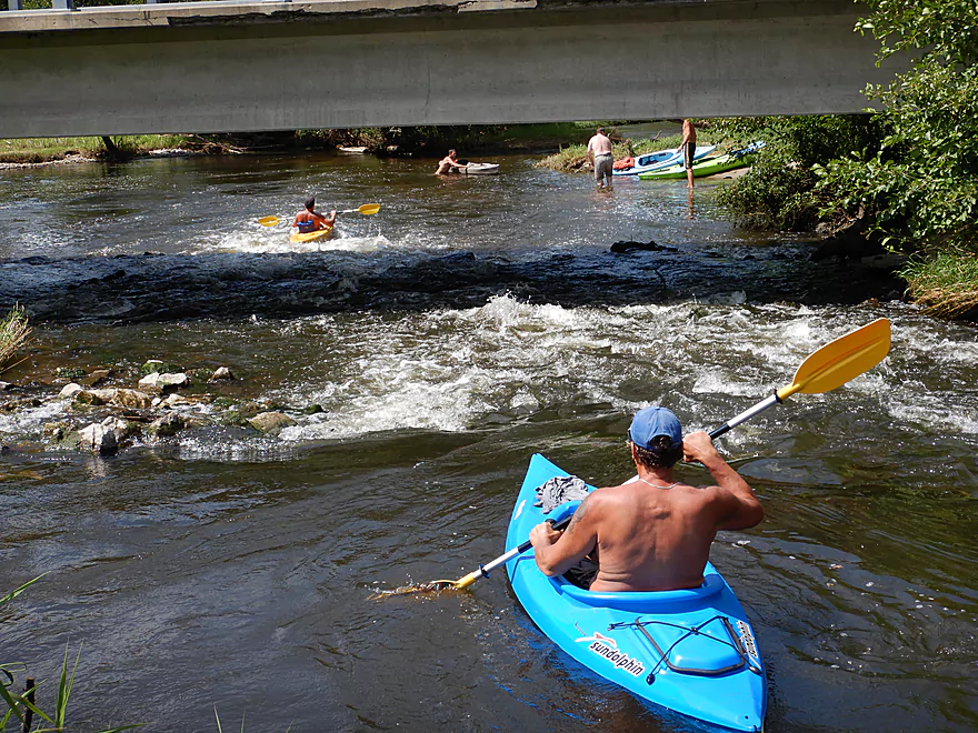
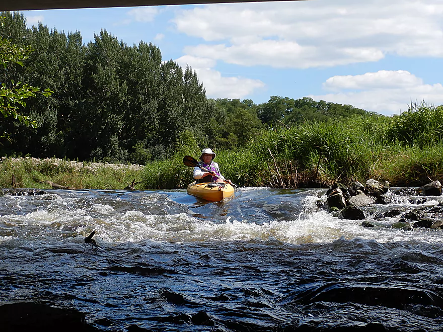
The start of the rapids
Not all boats make it through unscathed
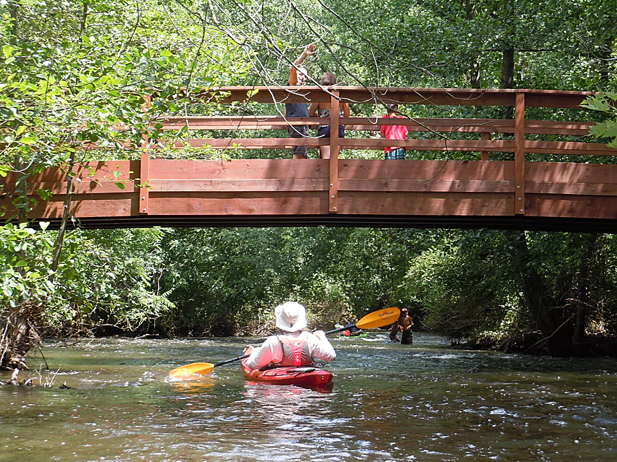
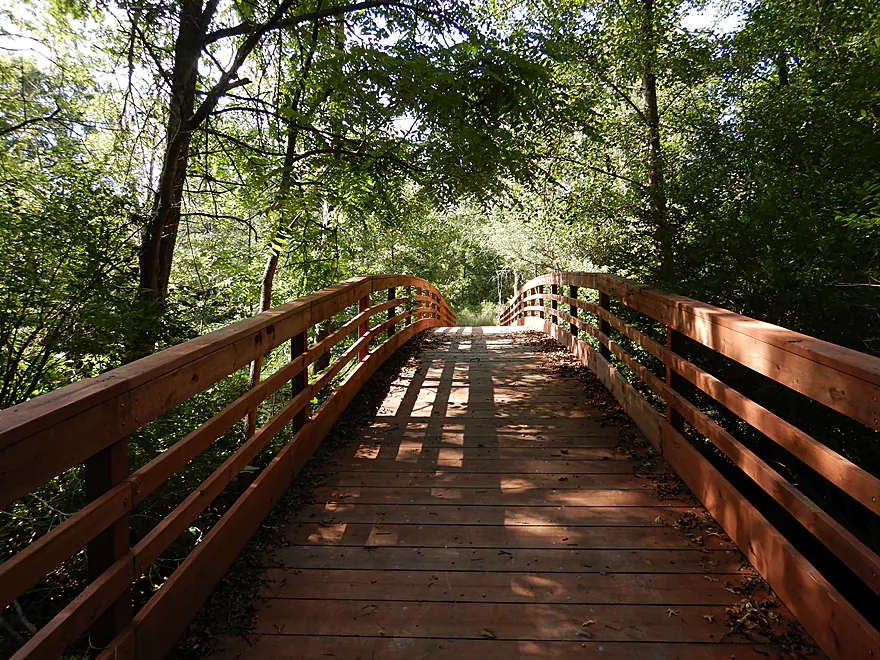
First park trail bridge
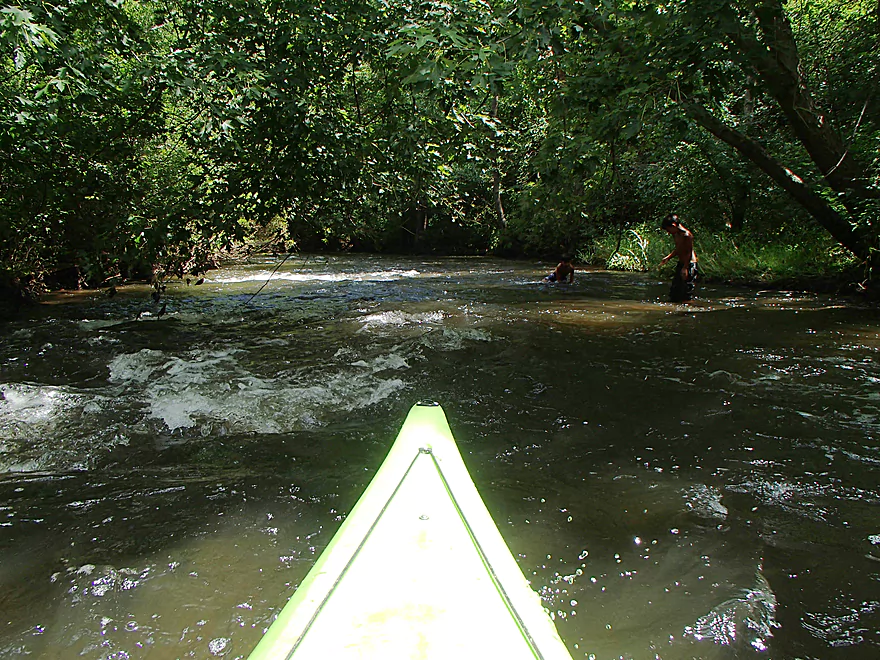
Kids are playing in the rapids
A bit tricky to dodge
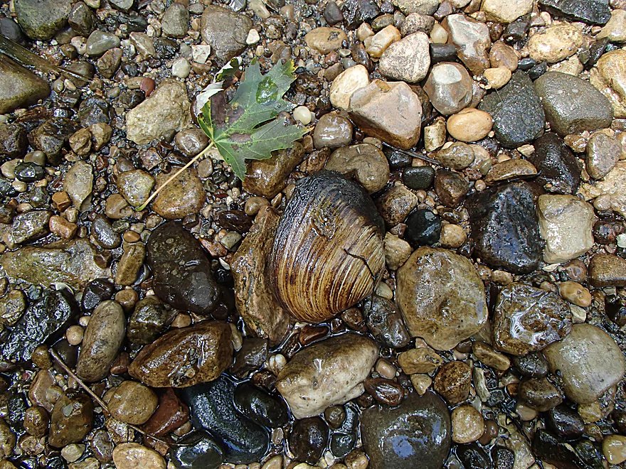
Several nice clams on the river
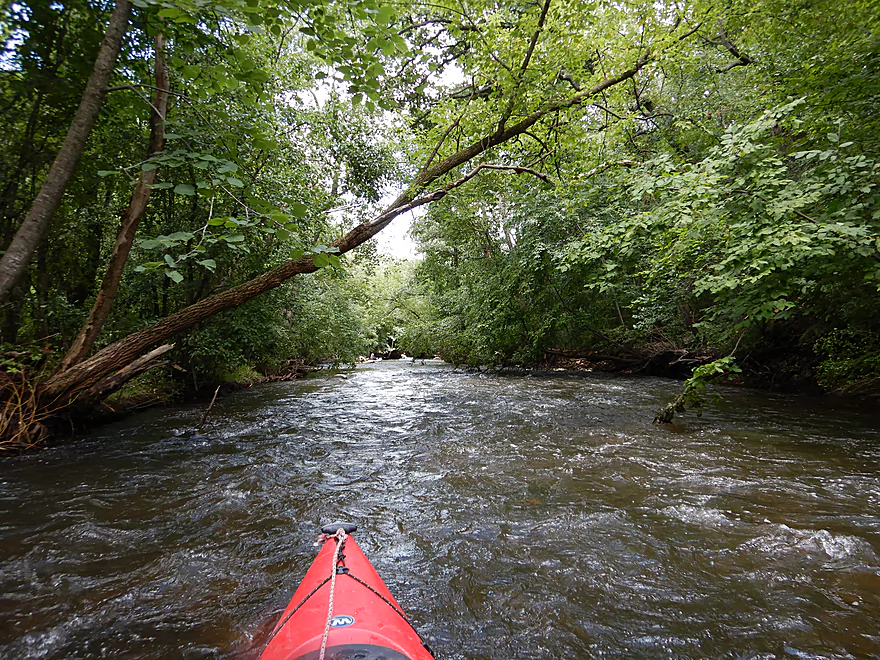
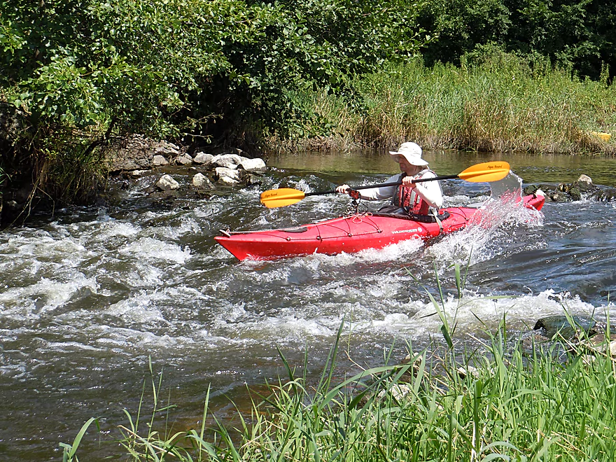
Overhanging branches create a nice canopy over the rapids
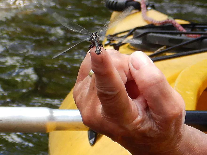
Surprisingly tame dragonfly
The 2nd park bridge
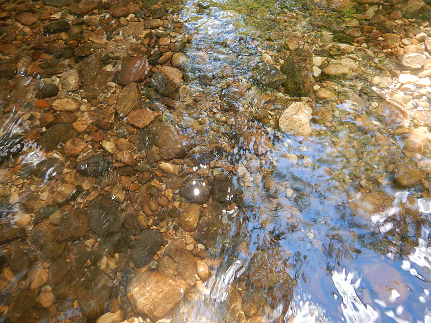
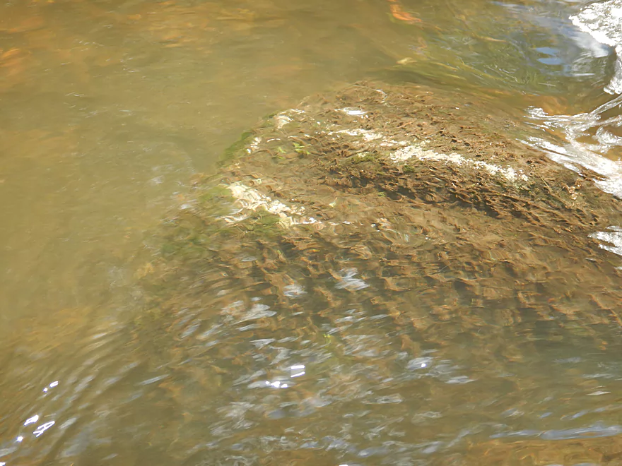
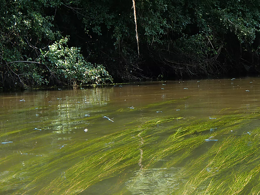
At times good clarity
End of the rapids
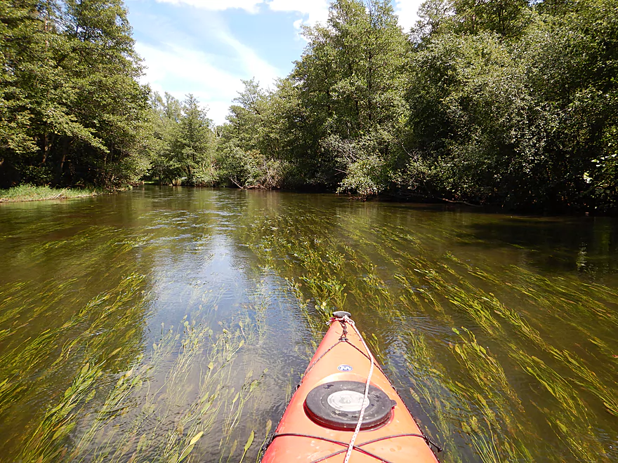
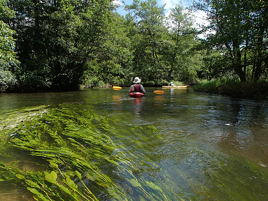
Scenic pondweeds
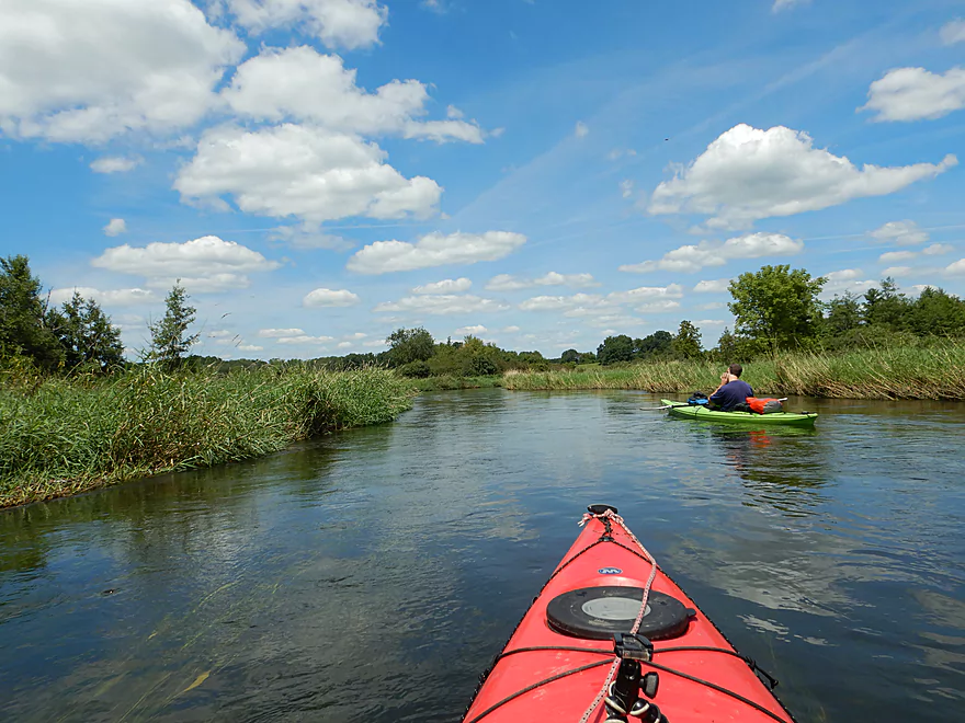
Back onto another marsh segment
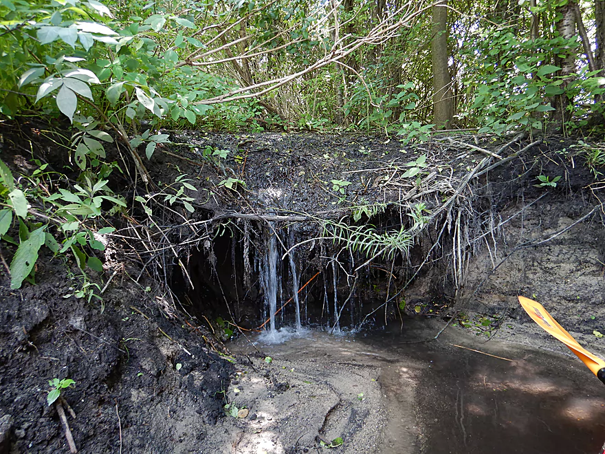
A natural seep
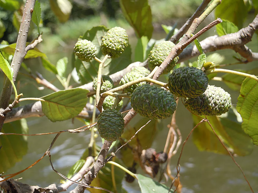
New mini cones on black alder branch
So many blue damselflies
Still some riffles
Future logjam
Approaching Spring Valley Road
Some Class 2 rapids
Pretty fun
A decent ledge where the dam used to be
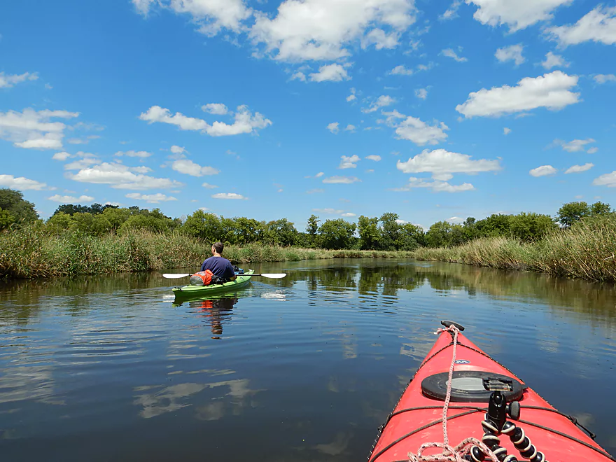
Paddling by the community of Lyons
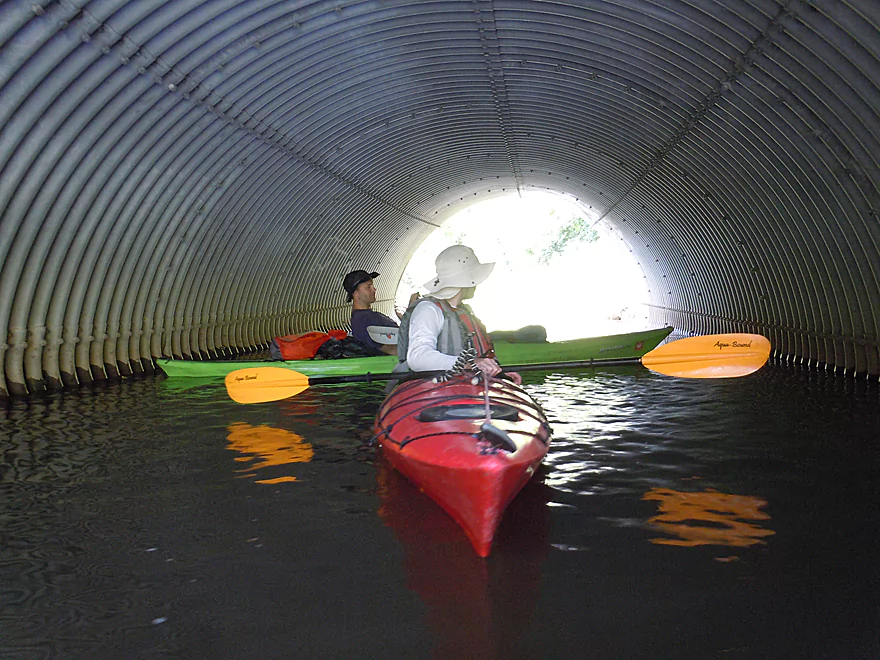
Cool culvert by Ore Creek
Still some rapids
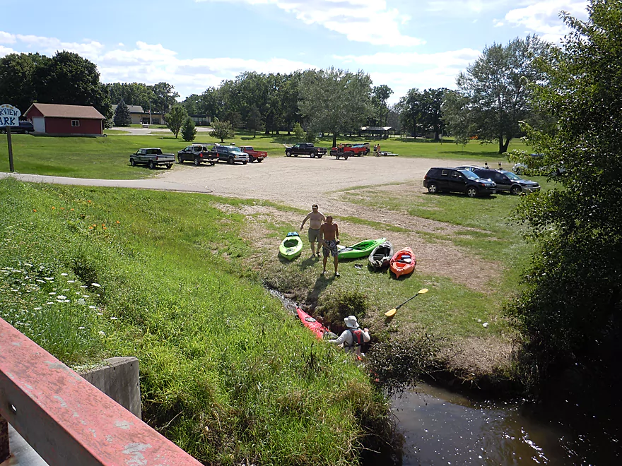
Taking out at Riverview Park
Doing a post-paddle hike at White River Park
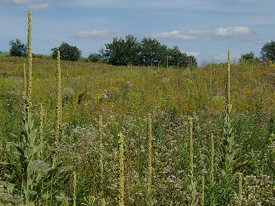
Gorgeous prairie
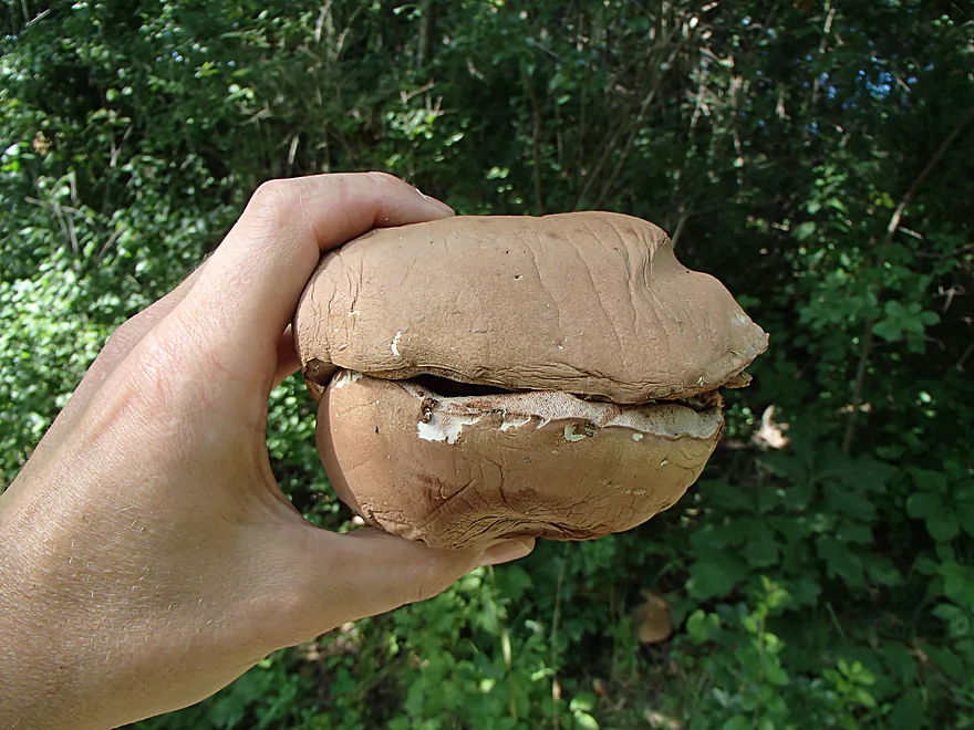
Hamburger buns! (the mushrooms had already been severed by something else)
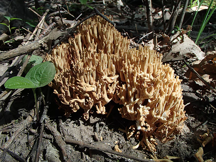
Coral mushrooms
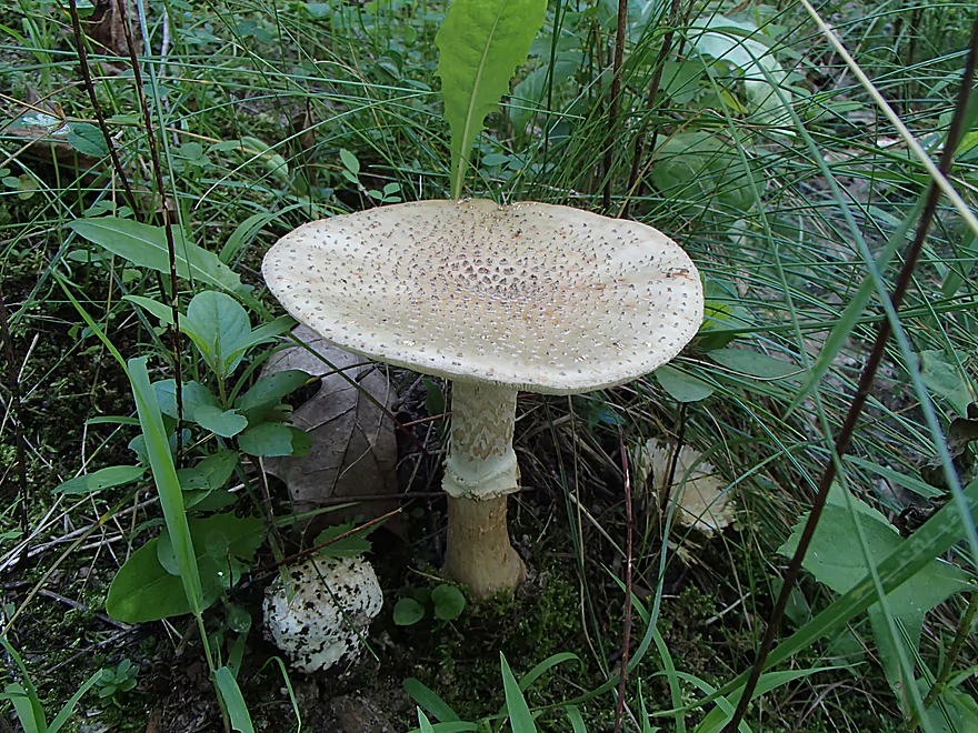
More attractive mushrooms
One of the park bridges over the White River
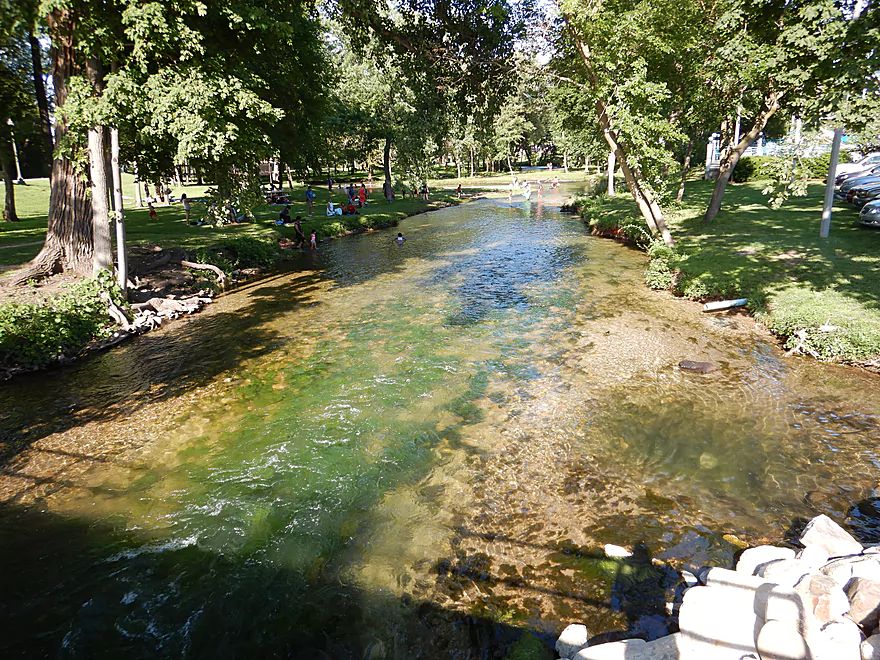
Scouting the White River by the Lake Geneva dam
White River – Sheridan Springs Road

The White River is an underrated paddling prospect in southeastern Wisconsin that flows northeast out of Geneva Lake. The lake and adjacent community (Lake Geneva) are very popular with Illinois tourists. While Geneva Lake itself is an ok paddling prospect with clear water, it can get a little crowded. The subjective highlight of paddling this famous lake is the opportunity to gawk at some massive and expensive homes. Mind you not just expensive homes…but the most expensive in all of Wisconsin. Three of the state’s four most expensive homes for sale are located on Geneva Lake (the ritziest section is on the western lake shore). But really, for all the attention the lake gets the White River is more interesting for paddlers.
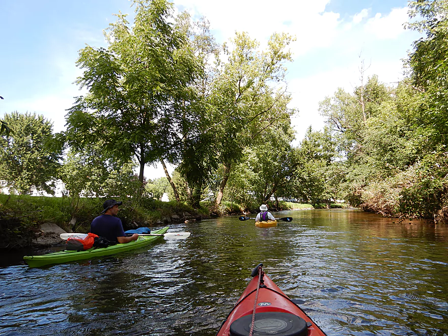
This trip started just downstream of the golf course by the first Sheridan Springs Road bridge. The first 2.7 miles meander through an attractive wetland. The water clarity here was the best despite the relatively deep water (3-4′ deep on average with a sandy bottom).
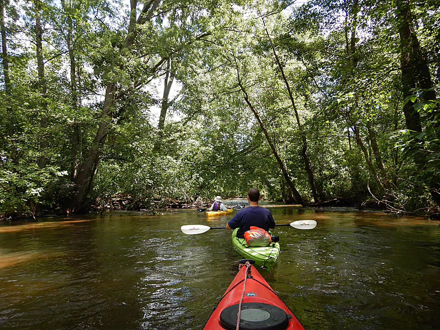
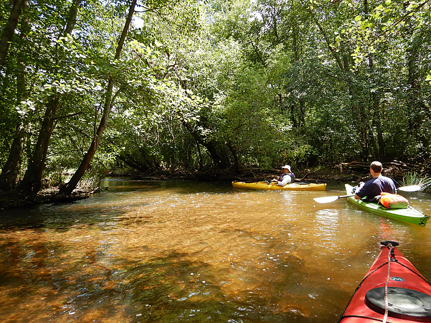
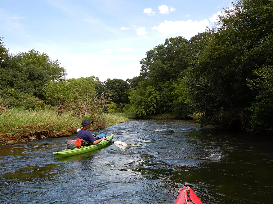
The next bridge is Sheridan Springs Road (again), and here most paddlers start their trip (great access). The river changes significantly past this second bridge. Much of the marshy wetgrass is replaced by hardwood forest, the channel straightens and narrows, the depth decreases, the substrate becomes rocky, and the current picks up significantly. In fact the next 1.5 miles were almost continuous rapids, which were a lot of fun.
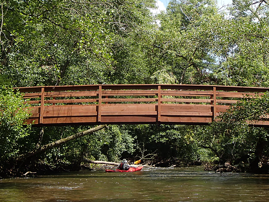
A quarter mile downstream from the bridge, you’ll paddle past a towering barn marking White River Park. In theory you could launch here, but you would have to drag your boat down a long hill. Some paddlers take a break here to use the local outhouses though. The highlight of this relatively new park is its trail system which first goes by a fantastic prairie and then parallels the river for several miles. Twice the trail crosses the river over scenic arched, wooden bridges overlooking some of the best rapids of the trip.
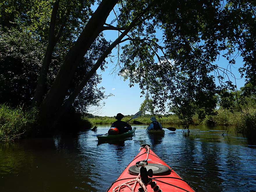
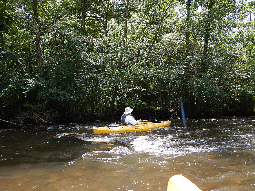
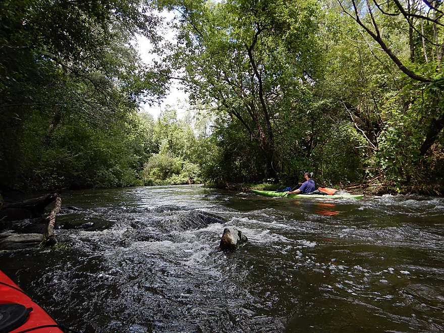
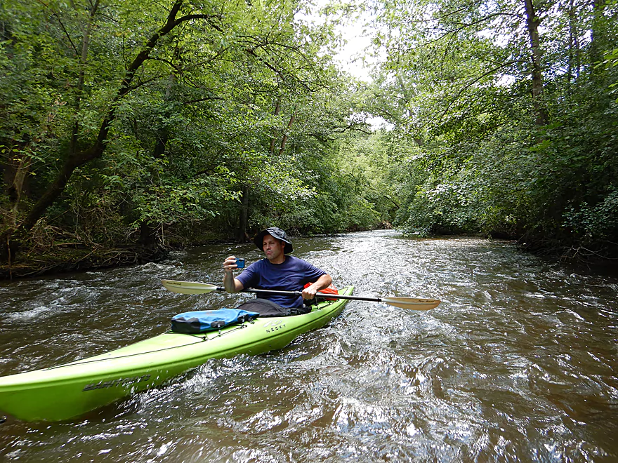
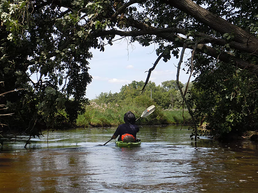
The channel here for the next two miles is narrow and canopied by tree limbs which gives it a tunnel effect. While the rapids were never very strong, they are still quite cool because of their length.
After the rapids, we lost our woods again and entered another marsh area. Water clarity was ok but not as good as previous sections. The highlight here were the pondweeds that would sway gracefully in the current.
Under the Spring Valley Road bridge, you’ll come across the remains of a mostly (but not completely) removed dam. The result is a significant drop and noteworthy Class 2 section of rapids. I highly advise scouting this before running it. But really it was pretty safe for a Class 2 and everybody (including the 10 or so people that passed us) had no problem going down. Even a stand-up-paddler ran the rapids! This is all viewable in the video (2:57).
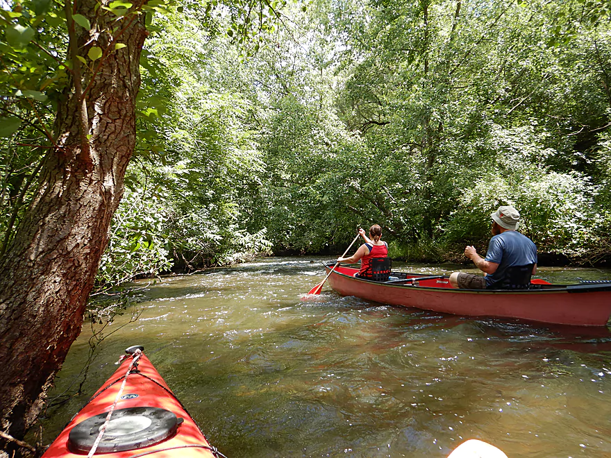
For the next mile, the river flows through the community of Lyons which is scenic with several riffles. There is a great take-out at Mill Street where we met a number of other paddlers. This was the MOST popular paddling river I’ve done all year…in fact we saw more kayaks that day than I had on all other rivers combined in 2017 (maybe a total of 50 paddlers).
This was a great trip that I highly recommend. The crown jewel was the section with the rapids (2nd Sheridan Springs Road Bridge to Mill Street). Unfortunately lighting was very challenging and many pictures didn’t turn out, but take my word, you’ll have a good time. Special thanks to Morrall Films for their video guide which was the inspiration for this trip. Sadly their DVD’s are no longer being published but there are copies floating around in some libraries.
The first Sheridan Springs Road bridge is a good launch area popular with paddlers. Parking is available on the shoulder and there is a nice gravel area for launching your boat. There is no outhouse though.
If you only want to run the rapids, then launch 2.7 miles downstream at the 2nd Sheridan Springs Road bridge instead. Here there is a dedicated launch area and parking lot. Most paddlers start their trip here.
There is a great take-out in Lyons just west of the Mill Street Bridge. This is the most popular landing on the river (during that day there might have been 20-30 cars parked here). The two take-out ditches are slightly muddy but still quite nice. An outhouse is located in the western end of Riverview Park.
Supposedly there is a shuttle service for this section of the river, but nobody picked up when I tried to call them. You may have better luck.
- Codie’s Kayking and Canoeing, LLC – 262-221-0769
The bike shuttle would be pretty easy. Only 3.5 miles and no major hills.
This is a pretty safe river and somebody has cleared it of most logjams. We never once had to portage an obstruction.
There are many Class 1 rapids but these are pretty beginner friendly and safe. But be mindful that these rapids may become dangerous in high water.
The most significant section was a Class 2 drop below Spring Valley Road. I advise scouting this beforehand if possible, otherwise it isn’t too bad and the best line is pretty much smack in the middle.
There is a gauge on the White River just below the Lake Geneva dam, but it is separated from a significantly-sized millrace so likely isn’t super accurate. For what it is worth, we went at 8.5′ which was a good depth. Not too shallow, not too high.
The best marker is likely the Nippersink Creek gauge but this won’t perfectly reflect the river either. Here is my depth guide based on guestimates.
- 0-100 CFS: This is too low to run the rapids (we had multiple paddlers tell us horror stories of having to walk their boats). But…if you don’t do the rapids section (aka White River County Park to Mill Street), the rest of the river is likely clear sailing.
- 101-200 CFS: The rapids would likely be extremely bumpy and frustrating to most. Clarity would be excellent.
- 201-260 CFS: I think the rapids would be doable here but perhaps a bit bumpy.
- 261-320 CFS: A great depth for the rapids, but only mediocre clarity. Our trip was done at 300 CFS.
- 321-500 CFS: A high depth with likely poor clarity. Some rapids may become pushy.
- 501-700 CFS: Likely a very high depth with pushy rapids.
- 701+ CFS: Likely too high for most most paddlers.
A couple of redtails, two blue herons, a fat water snake, a muskrat, some clams and many mosquitoes. A unique sight was seeing three mosquitoes actively feeding on a green frog who didn’t seem to mind…never realized that mosquitoes like amphibians.
- Geneva Lake: A pleasant lake paddle with multiple access options (Williams Bay Beach, Edgewater Park, Big Foot Beach State Park, and Elm Park to name several). The issue is that the area is overrun with Illinois tourists, but the lake does have a unique vibe to it and it may be worth it to see some ridiculously expensive homes.
- Lake Geneva Dam to Sheridan Springs Road1st: 4.1 miles. Launch by Flatiron Park near the dam. This is a crowded area and finding free parking spots can be tricky on summer weekends. Water clarity here is exceptional. This is a good prospect. Note the put-in is confusing because it is next to a millrace which is bigger than the river. I think they merge shortly but am unsure…you may want to scout this first.
- Sheridan Springs Road1st to Mill Street: 6.6 miles.
- Sheridan Springs Road1st to Sheridan Springs Road2nd: 2.7 miles. Nice stretch through open wetland with good water clarity.
- Sheridan Springs Road2nd to Mill Street: 3.9 miles. Terrific section and likely the best part of the entire river. Lot of rapids, but this section can get too shallow in low water. Highlight is a Class 2 drop under Spring Valley Road.
- Mill Street to Hwy JS: 7.4 miles. Mediocre section. Likely more open, marshy and lacking the rapids of the upper sections.
- Hwy JS to Wagner Park: 1.4 miles. Last segment of the river before joining the Illinois Fox. Likely nothing special.
Trip Map
Overview Map
Video
Photos Size:
I did this section on 8/19/19 and had a great time. Levels were a bit low (Cfs 130, 4.35 ft) so I scraped a bit in some low spots and the rapids/drops were a little bumpy but not too bad and I never had to get out of the boat. Water clarity was great through the trip and the current was good but not pushy. There were a few low branches to avoid after the 2nd park bridge, but not hard to avoid if you are alert and have good boat control.
I’m surprised you didn’t have many issues at 130 CFS. I appreciate the info. Eventually I do want to return and explore more of the White River but it’s a long drive for me.
Just want to say how appreciative I am to see this online and thank you for taking the time to break this down and provide so much detail, this should help a ton of people have a good time. I have lived in the area a long time and there are always people launching from these 2 areas… worth it… and cool areas to hang out… In lake geneva there are tons of places to get breakfast… There is a small place across from Potbellys that makes huge breakfast burittos or if your into healthy breakfast, Simple Cafe is super cool. When in Burlington after you come out for lunch Freds Parkview for a burger and a beer or if you like a great sit down place Lucky Star.. If dropping the recovery car off in Burlington Sheila Mae’s Town Fryer is my favorite greasy spoon cafe… Awesome.. Enjoy your time its a fun day… Dont forge to bring the moutain bikes head up to Kettle Moraine with the Trail forks app.
The Lake Geneva area is cool…I definitely want to return to explore more of it.
I’m curious as to why there were so many golf balls so far down the river? Also, thank you for the great information you’ve provided we had a great trip and were well prepared!
I suspect the “Highlands Golf Course” is to blame…
have you paddled from Flatiron park to Sheridan Springs put in #1?
No…but I want to. If you hear of anybody that does this section, let me know how it went.
We did this section on 3/22 (220/CFS 5.10 ft ) these seemed like great levels, no bottoming out, rapids were all doable and fun, and the drop at the Spring Valley Rd Bridge was perfect, splashy but easy and not pushy. We stopped and spent some time cleaning up three blocages so the whole section is now clear. Fantastic water clarity the whole way, so we saw tons of fish, several pike, some carp, and some huge trout, and many I could not see well enough/long enough to ID. Easy 3 mile bike shuttle
This is a great time to do the White as normally it can be a crowded river in summer. Thanks as always for the update Eric.
We usually kayak this river at least once a year. We are looking at getting out there in the next week or two. Can anyone comment on the level? I know it can get pretty low. We like to kayak between Sheridan Springs Road and Mill Street.
Thanks!
I suspect levels are really low. The main rapids would likely have to be portaged. Hopefully someone will chime in with a more recent first person experience.
So how do you get back to your car with your kayak from where you put in?
In this case we brought two cars and car shuttled. But for most trips I use a bike shuttle which works well.
Thank you for this excellent write up – it was our guide for the trip we took yesterday. We dropped one car at the 1st Bridge and left the others are the Riverview Park. We did notice that sit on top kayaks seemed to navigate the stretch from White River Park to Riverview Park much better then our sit in (Old Towne Vapor10). Ours bottomed out quite a bit, seemed river levels were very low. Does anyone else have this experience? Also, is there a better way to gage water levels for the river?
I’m not sure that sit on tops draft lighter. I think what matters more is the width/length/shape of the hull. Big flat hulled boats should draft lighter regardless of whether they are sit on top or sit in. Note this stretch of the White is known to get low during late summer. This is normal. As for a river gauge there really isn’t one on the river itself. Roughly speaking though the White River should parallel the Nippersink: https://waterdata.usgs.gov/usa/nwis/uv?05548280
I started at the launch on Sheridan just north of the resort today, 04-May-2024 and paddled to Wagner Park in Burlington (about 15 miles).
Higher water levels made this run a real winner. With the exception of one massive, river-wide downed tree I had no troubles.
I highly recommend this river when levels are higher.
Thanks for the feedback!
From Friends of the White River: “We are proud and pleased to report that the route down the White River from Sheridan Springs to Riverside Park in Lyons. 6 volunteers worked tirelessly to unobstruct the areas most relevant to safety.The river is moving quickly right now but it’s a beautiful day to be down on the river. Remember to report other obstructions as they occur as we continue to make the river as safe as possible so we can all enjoy it together.”
From Friends of White River County Park: “Obstruction Notice: Kayakers and members of our group have brought to our attention that a tree has come down since our last removal 2 weeks ago. The river is fully obstructed with a rough and painstaking portage. A silver maple is down roughly 1000ft before the first bridge at the park and with the elevated water levels from this past week’s storms has caused erosion along the banks thus the less stable soils for the trees along the river. If you do plan on kayaking be very cautious as the fast moving water and depth in this particular area make portaging hazardous. Currently scheduling a day for volunteers to gather for its removal.
Happy paddling and a safe weekend to all!”
Note from Friends of White County Park: “As of 11:30am this morning volunteers successfully cleared the large tree obstruction that appeared a few thousand feet via river before the park. The river is entirely passable from Grand Geneva to Riverside Park in Lyons. Have a great weekend everyone and happy/safe paddling!”
Can you tube the river?
You could probably tube the rapids, but tubing the entire stretch likely wouldn’t be viable because it is on the longer side and tubes are slow.
Thank you so much for putting this website together. My son and I did a canoe trip this past weekend. It was great!
The White River gauge was at 8.2 feet. Nippersink was at 111 ft.³ per second. I know it was pretty low, but my son really wanted to go.
The first half of the trip up until White Lake Park was great with the exception of one log jam that we had to kind of portage.
After White Lake Park, the rapids were pretty rough, meaning the water was low, and the bottom of the canoe was scraping quite a bit. I had to get out at certain points and push.
We saw zero fish on the first half of the trip, but on the second half we saw some very large trout and other fish. They were all swimming very fast against stream. We saw dozens of fish, but caught nothing. My son did catch a rusty crayfish and named it Rusty.. was going to use it for bait, but didn’t have the heart and threw it back in.
In hindsight, I would’ve pulled out at White River Park…. Even though we would’ve missed all the cool fish.
Once again, this webpage was invaluable. Thanks!
Thanks for the comment! It’s too bad about the logjam…locals usually do a good job of clearing those out.