
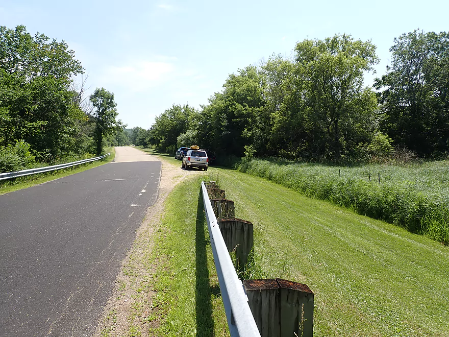
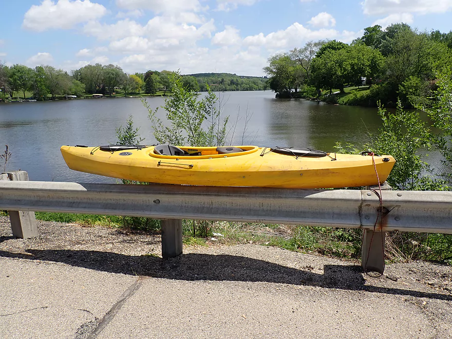
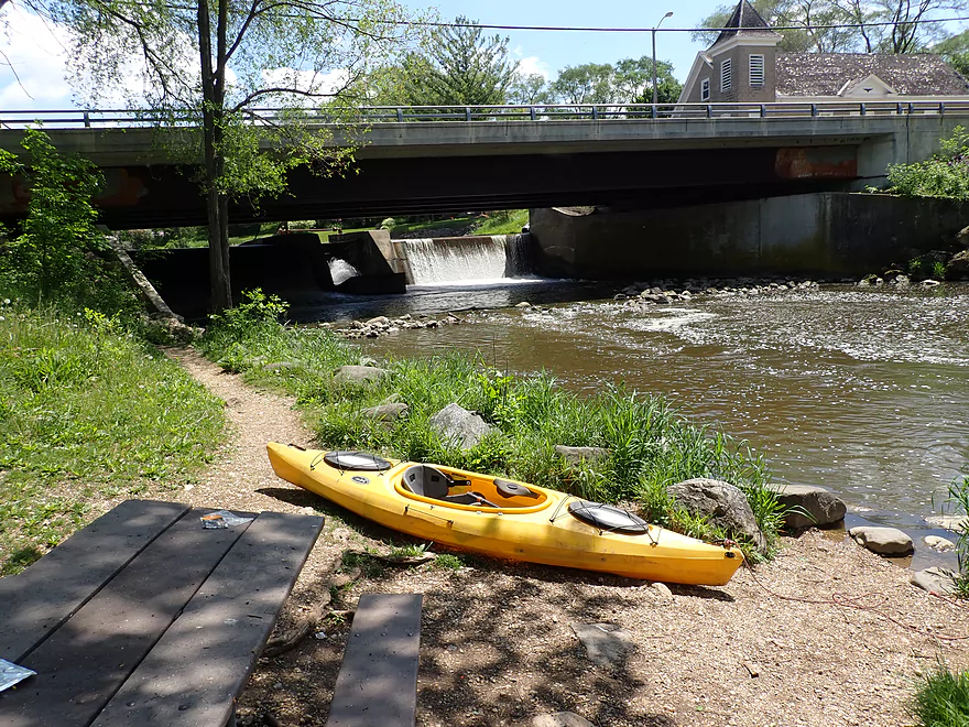
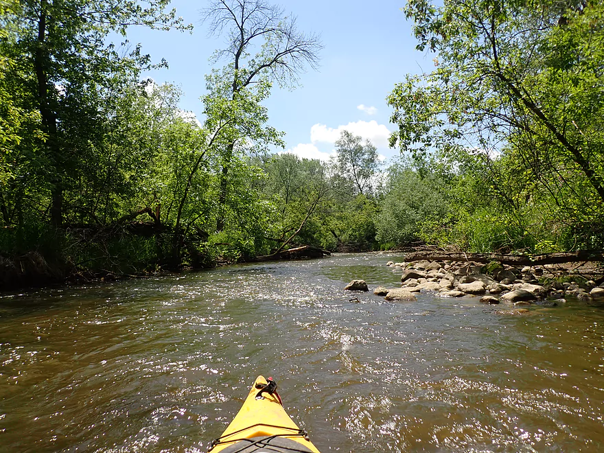
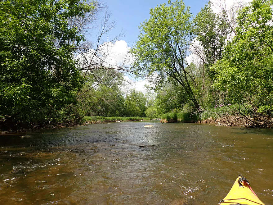
Put-in at Jefferson Rd
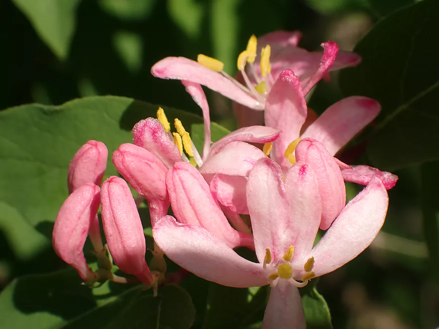
Invasive but attractive honeysuckle
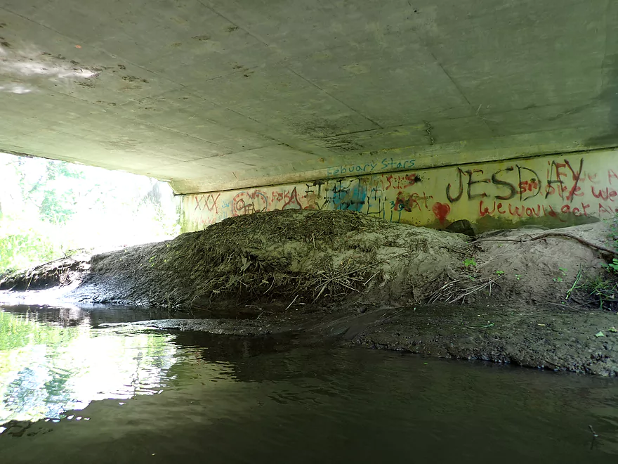
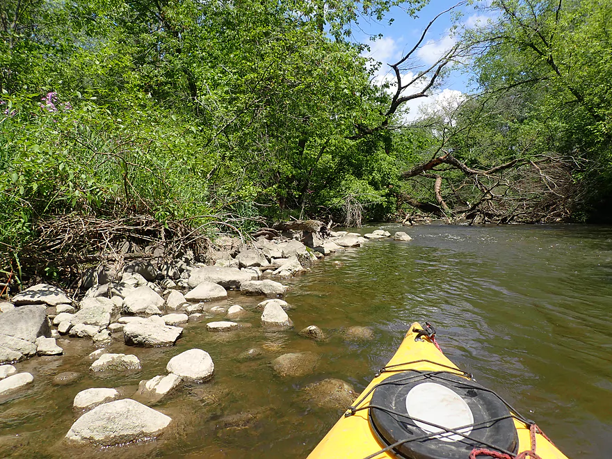
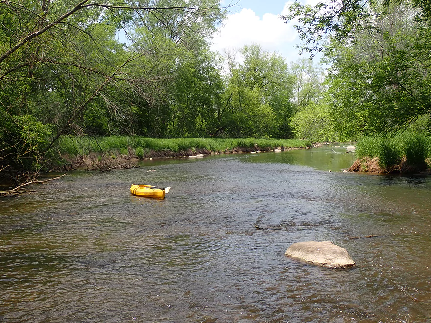
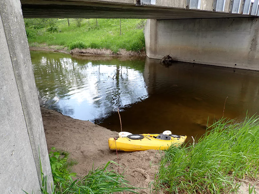
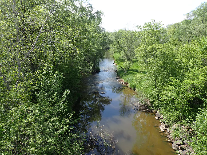
Kind of a muddy access below the bridge
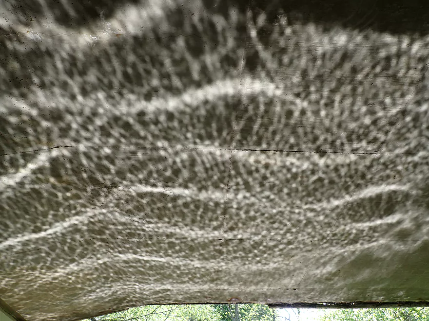
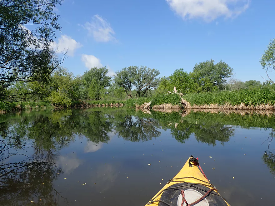
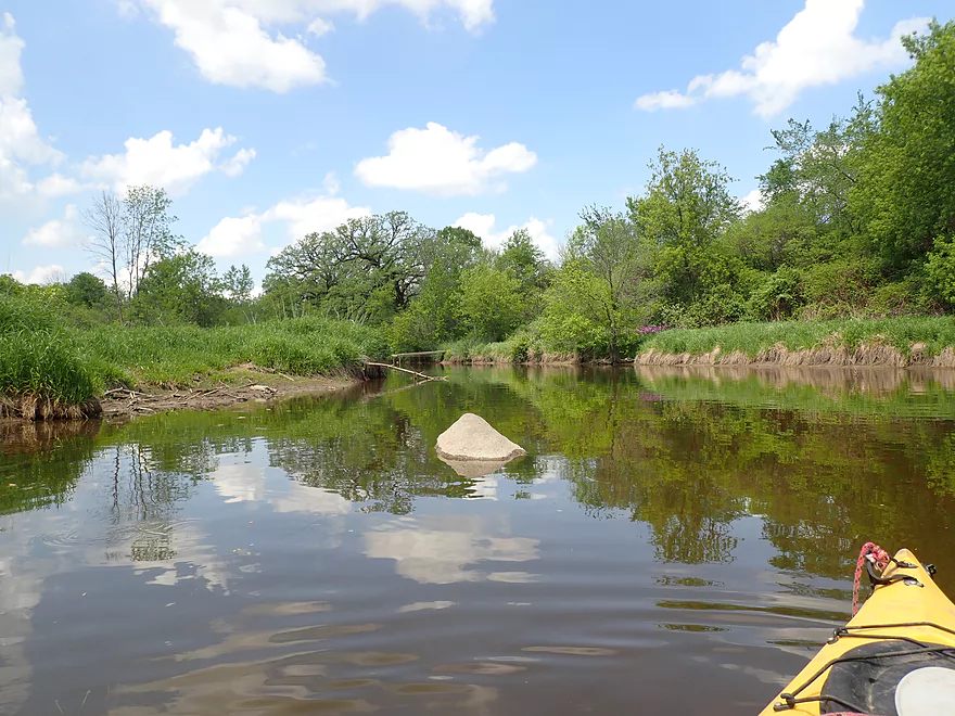
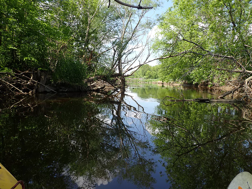
Cool reflection patterns
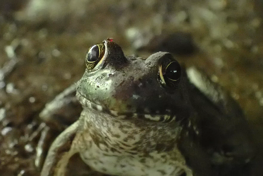
This frog let me get really close, but my flash refused to work
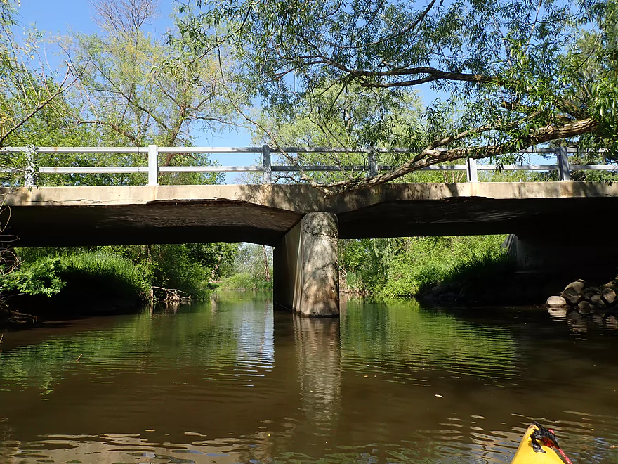
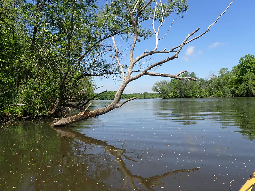
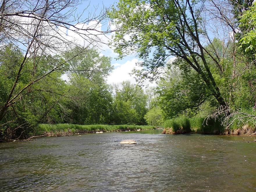
Reverse view of Jefferson Rd
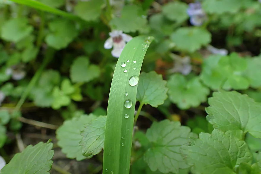
Morning droplets
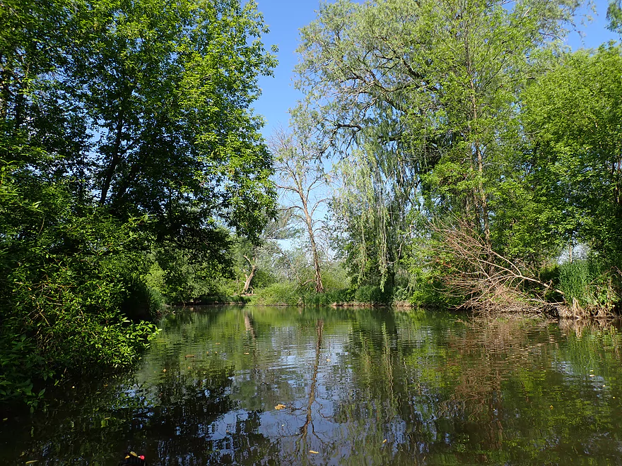
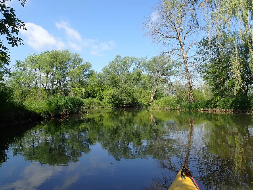
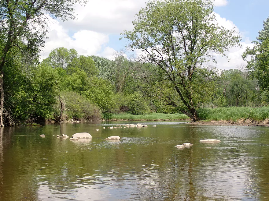
Cool reflections
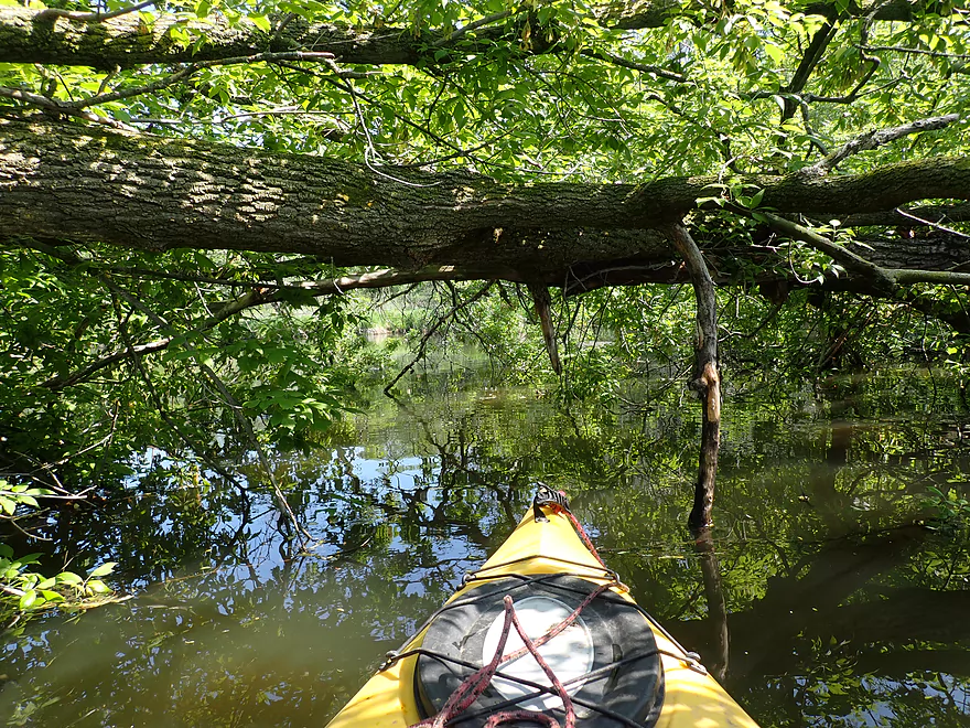
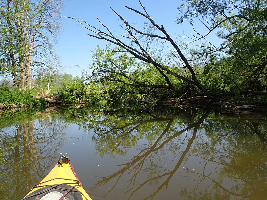
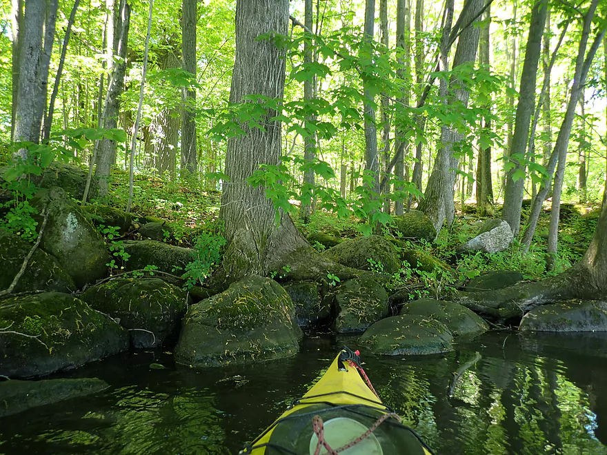
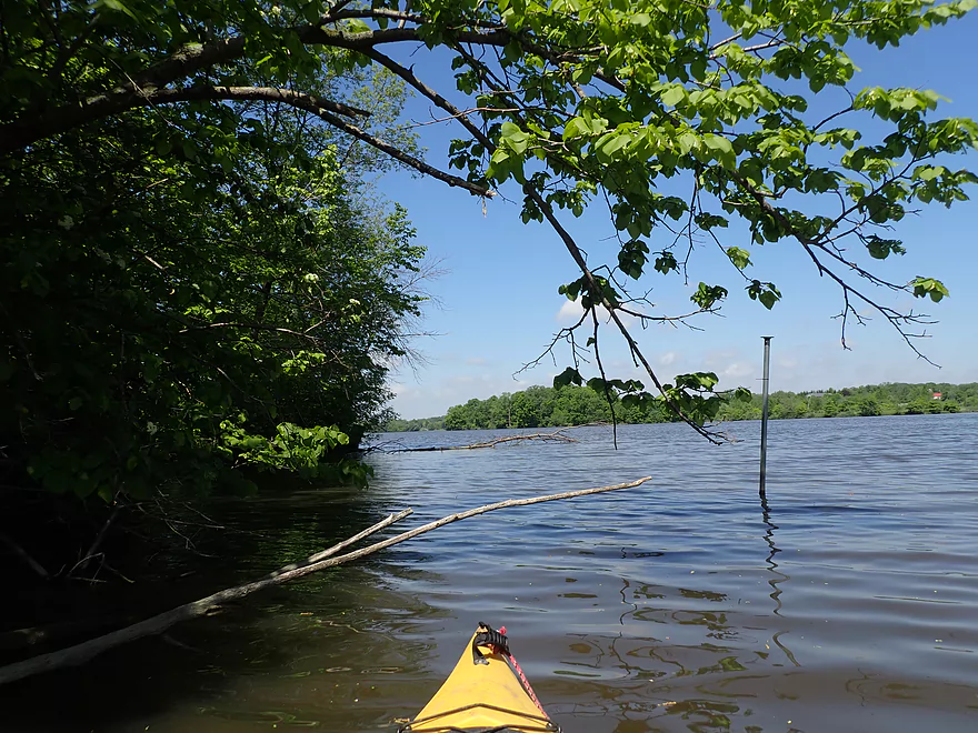
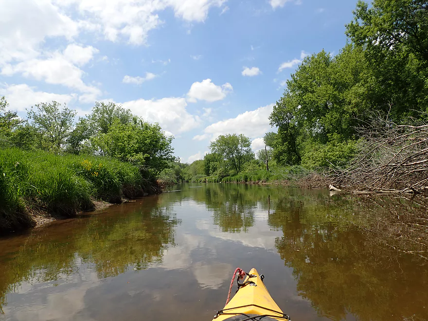
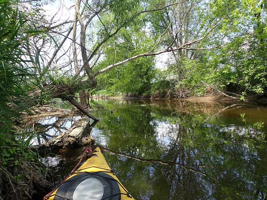
Some ducking but no serious logjams

A slow and muddy stretch
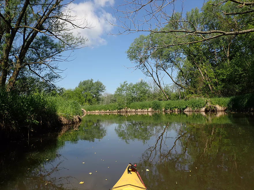
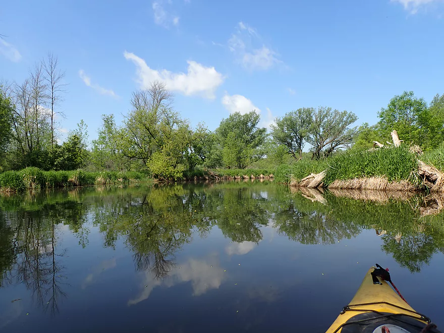
More nice reflections
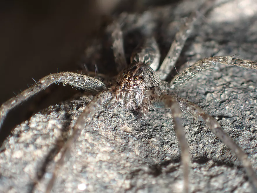
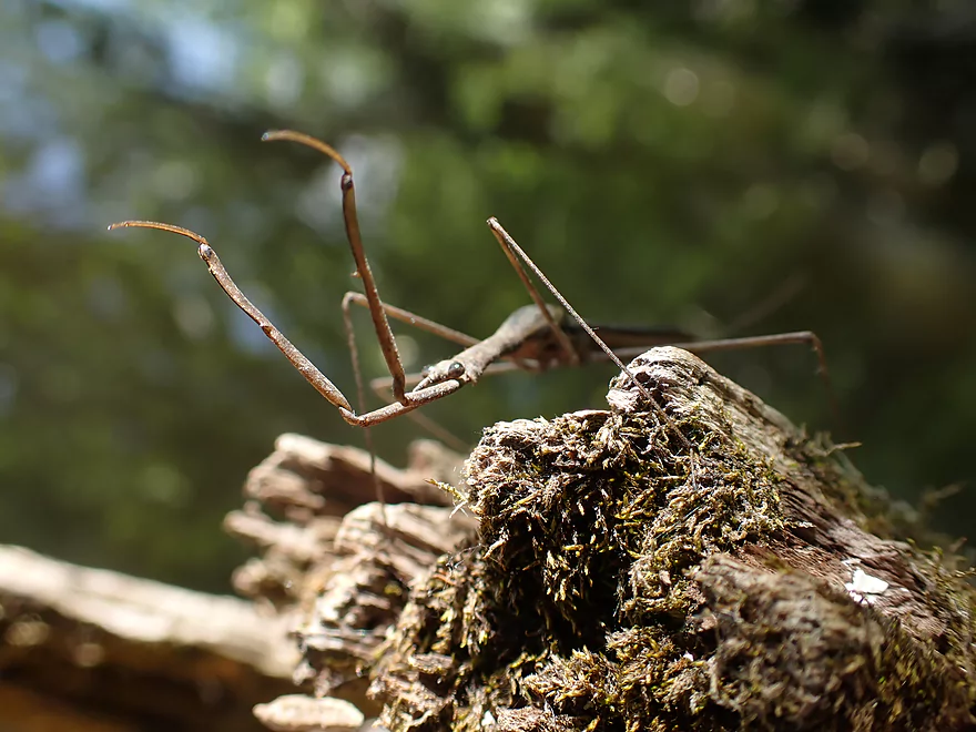
A large fishing spider
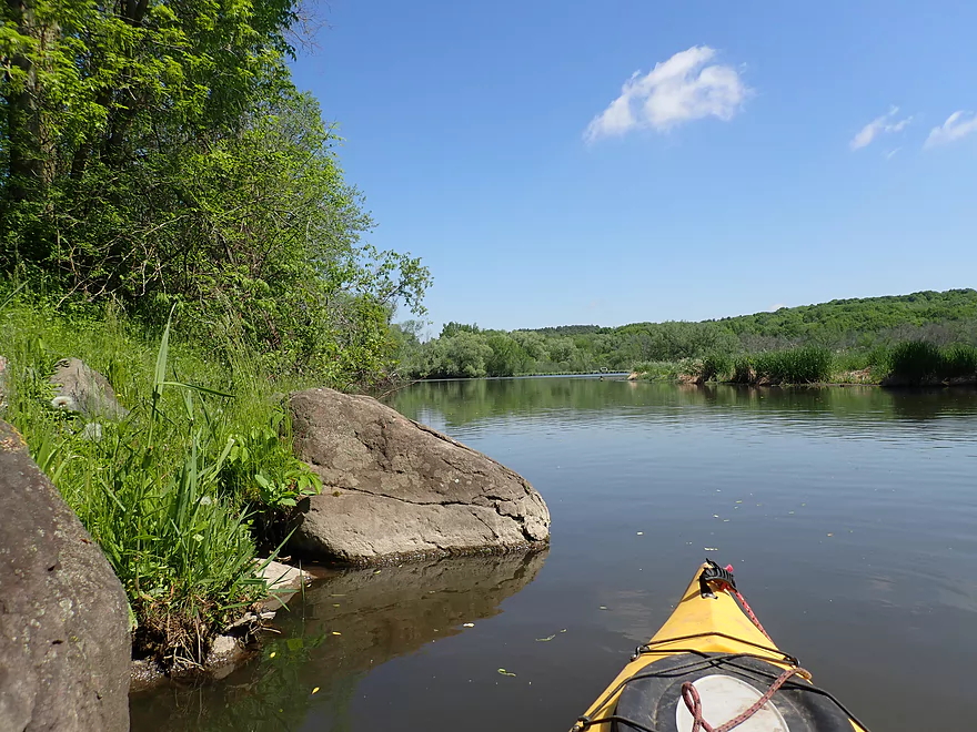
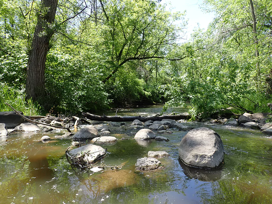
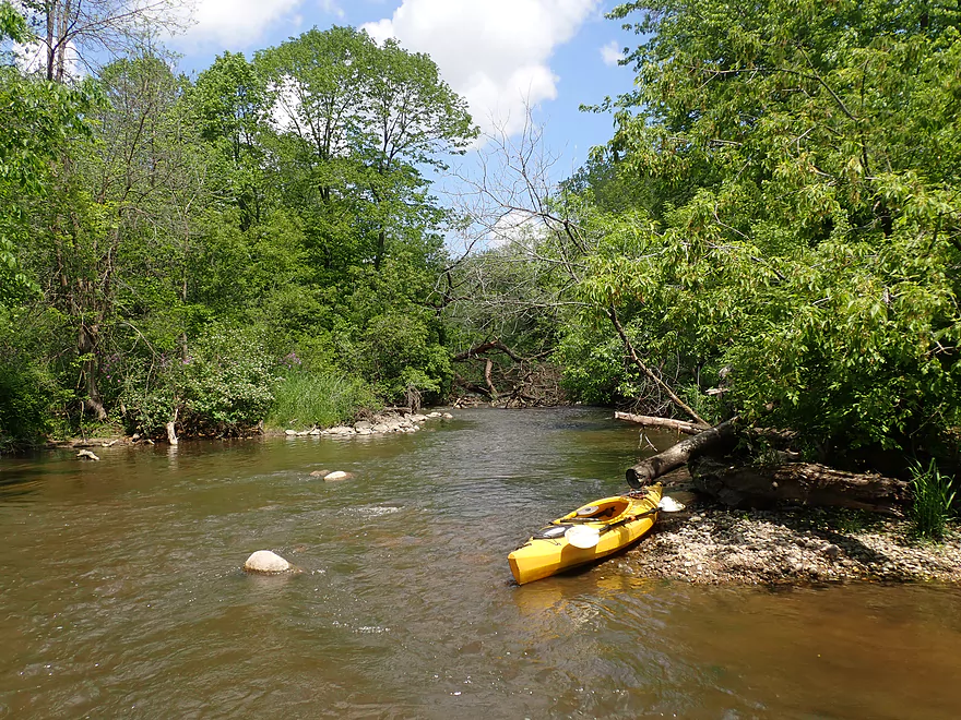
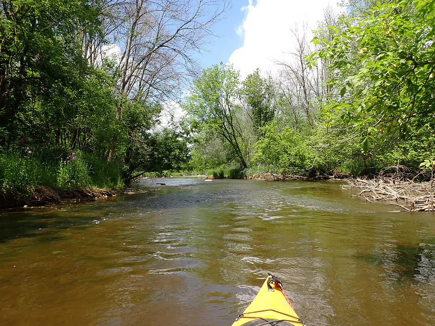
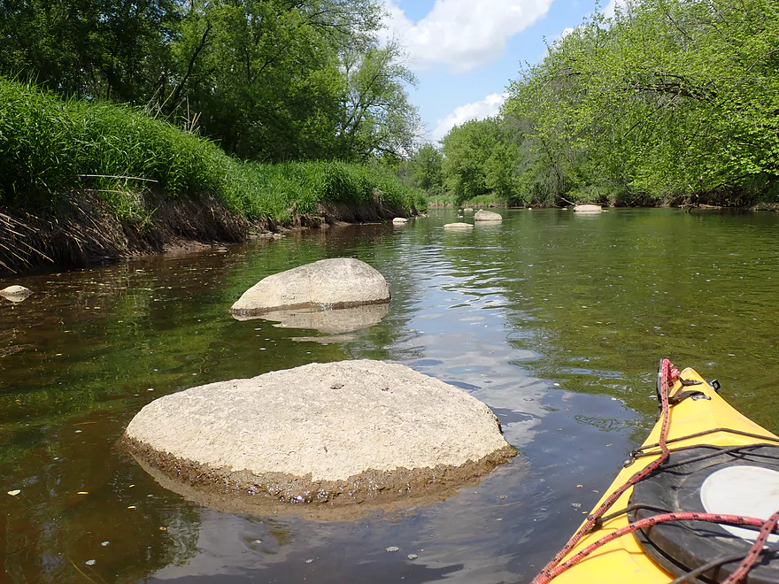
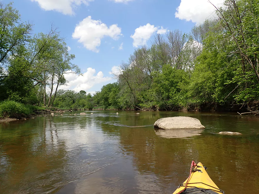
Entering a rocky stretch of the river
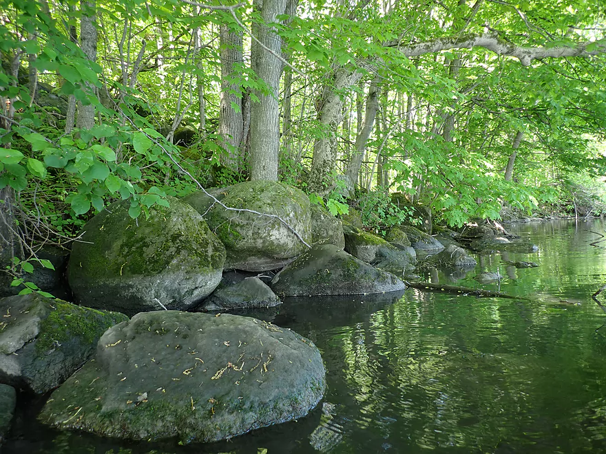
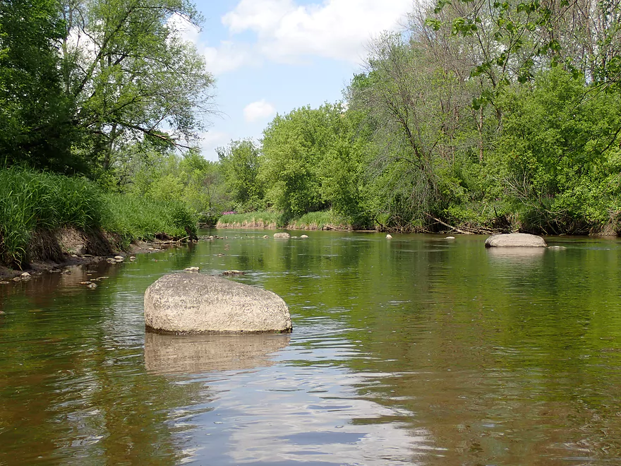
Where the banks were lined with glacial boulders
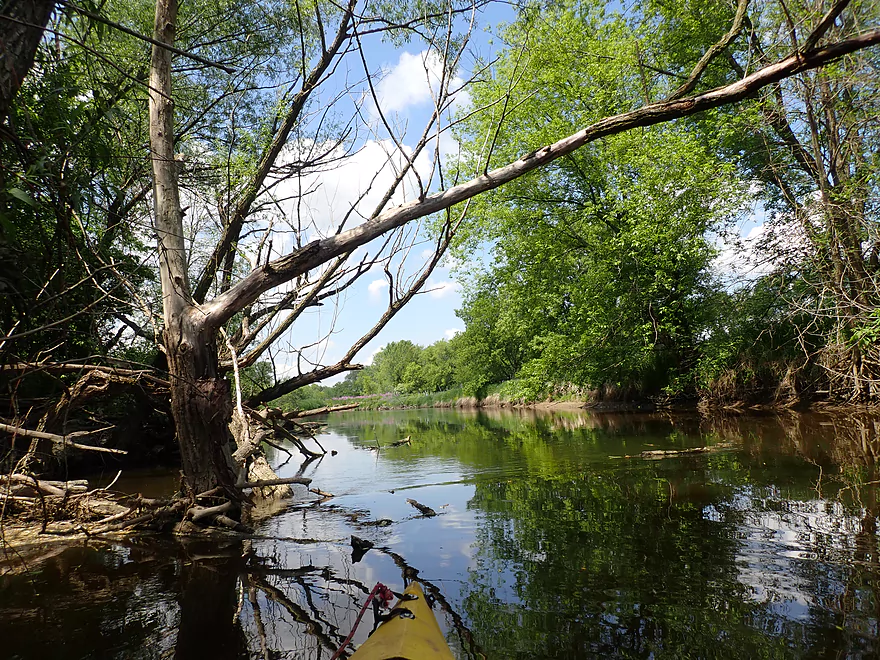
Attractive woods
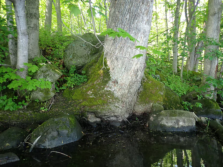
The tree is growing on top of the rocks
Entering Neosho Millpond
A water scorpion
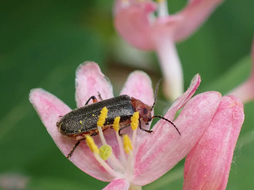
A beetle getting a pollen bath
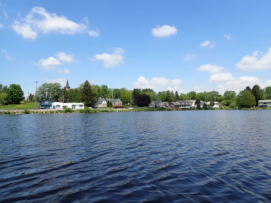
The community of Neosho
Woodland Park is an access option
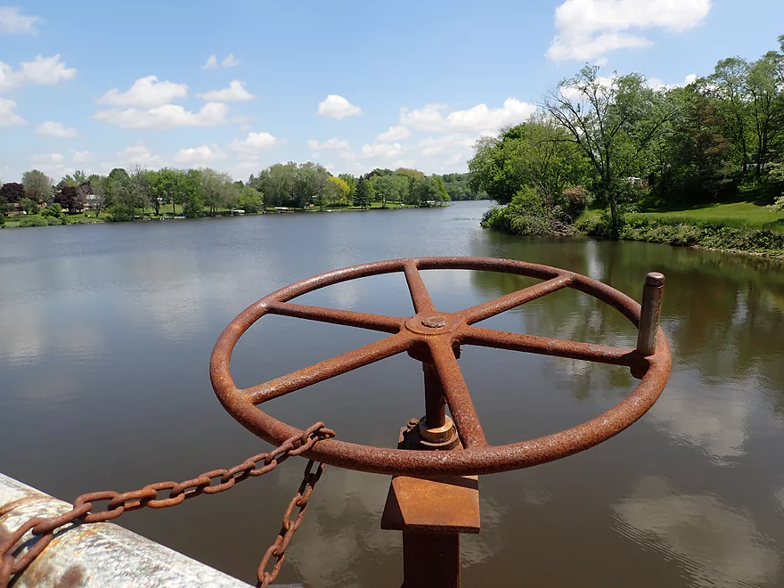
The Neosho Dam
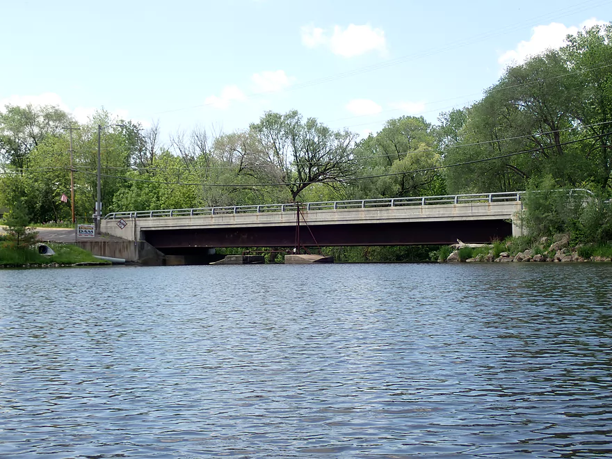
Portaging Hwy 67
Looking upstream at the millpond
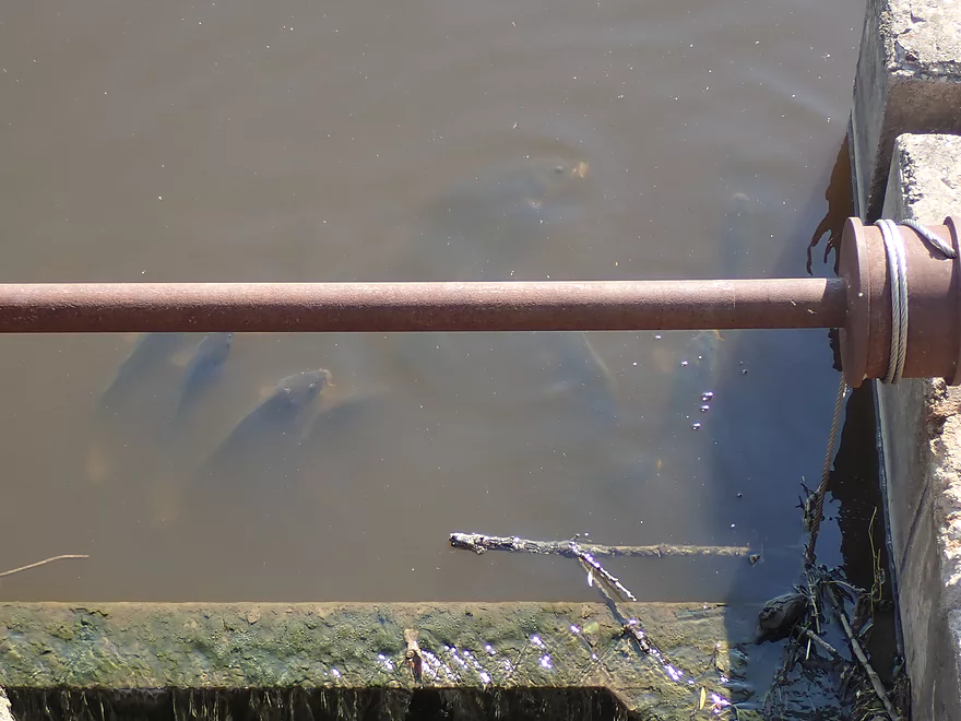
So many carp on this trip
Nice area below the dam
Public fishing area makes for a good put-in
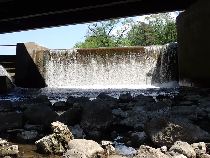
Close-up of dam
The north channel is closed by a log
The south channel is congested but navigable (barely)
About a 2′ ledge
Paddling around an island
Paddling upstream to check out the south channel
With higher water and no jam, this would be fun to run
Current starts to pick up
Attractive rocky stretch
Carp lips sneaking above the surface
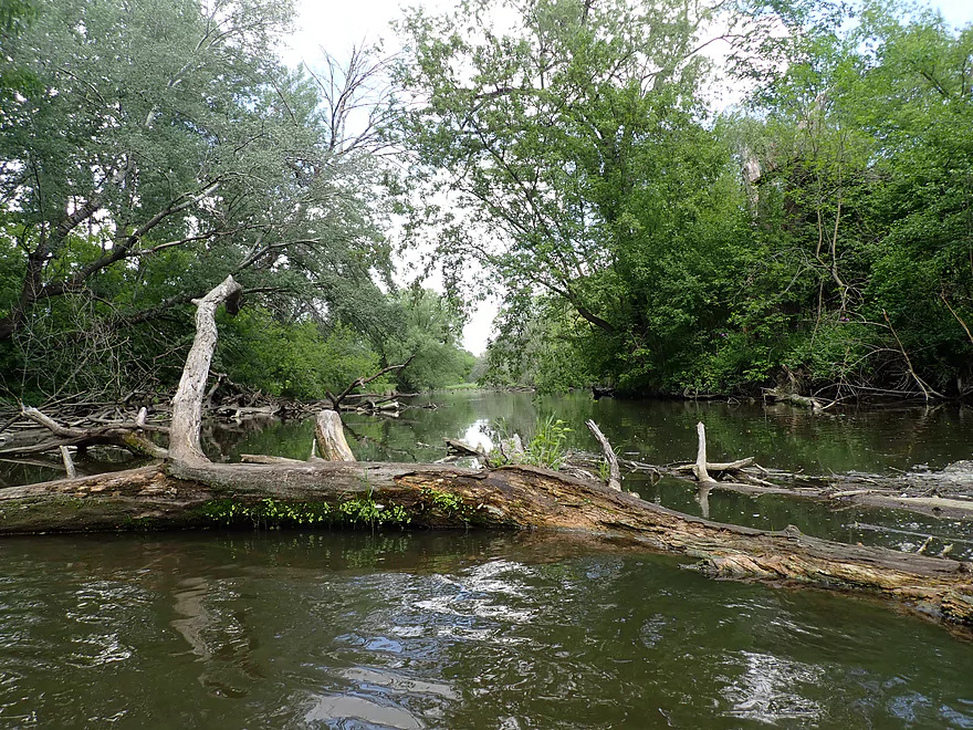
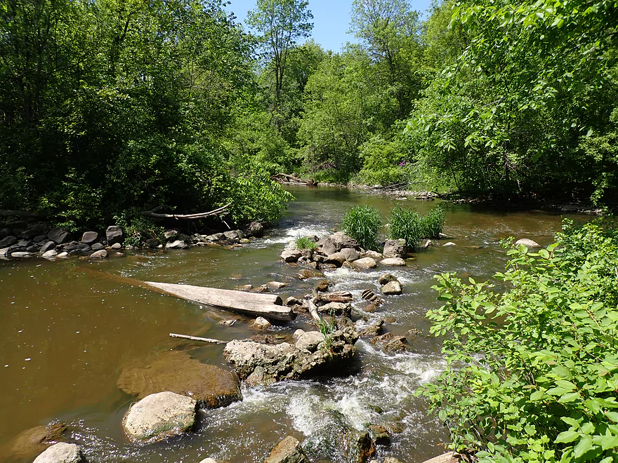
Some downed trees but always a way around
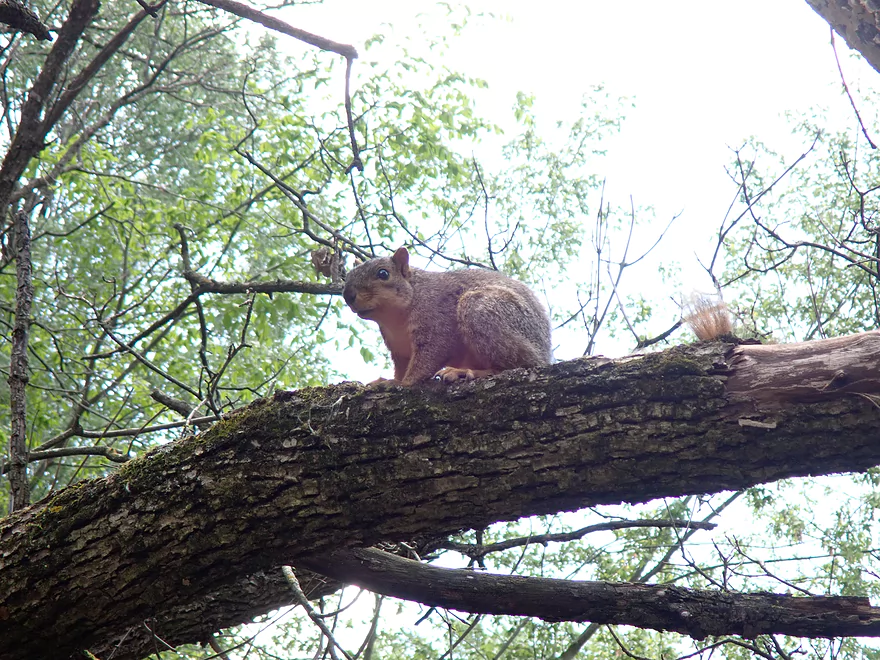
Squirrel watching me pass underneath
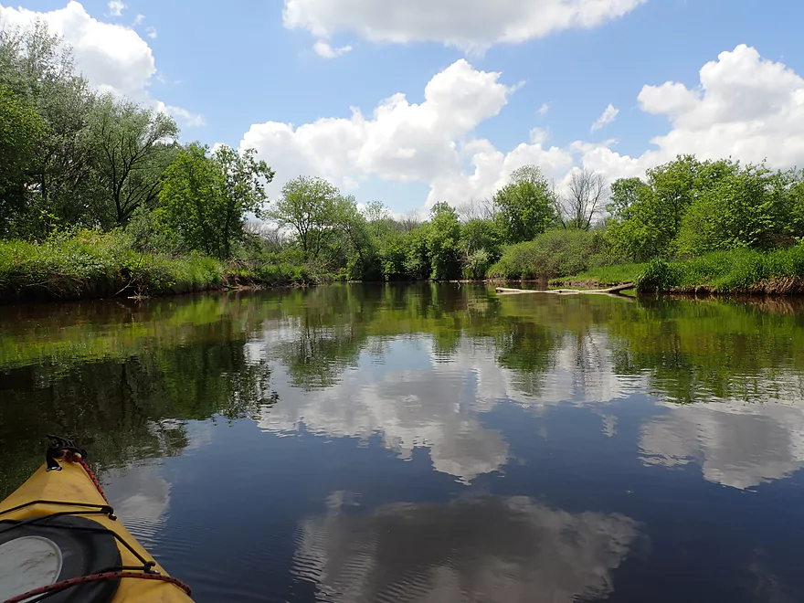
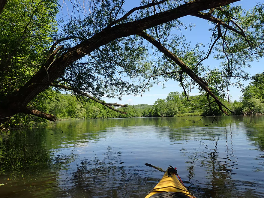
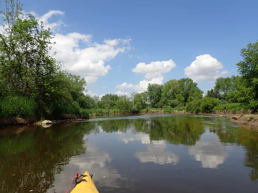
Great day for cloud reflections
One of several small boulder gardens
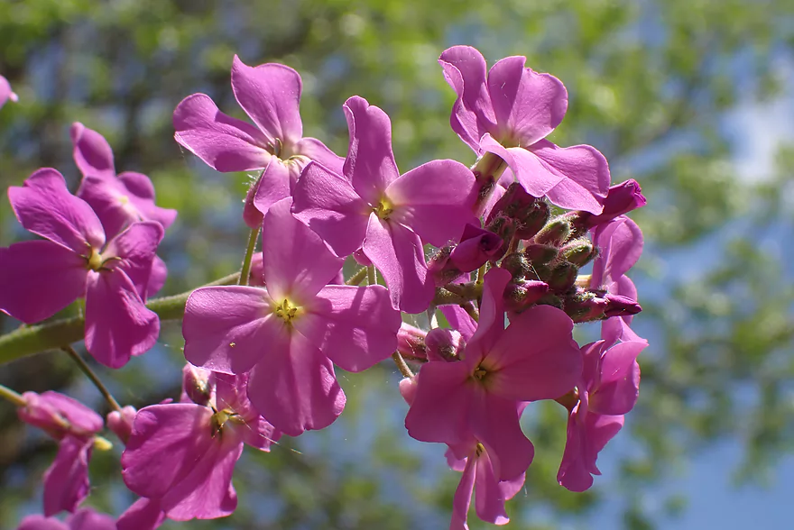
Dame’s rocket
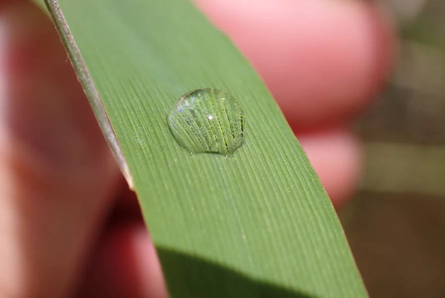
Water droplet acting like a magnifying glass
Some more light rapids
Nice stretch
Another boulder garden
Neat reflection
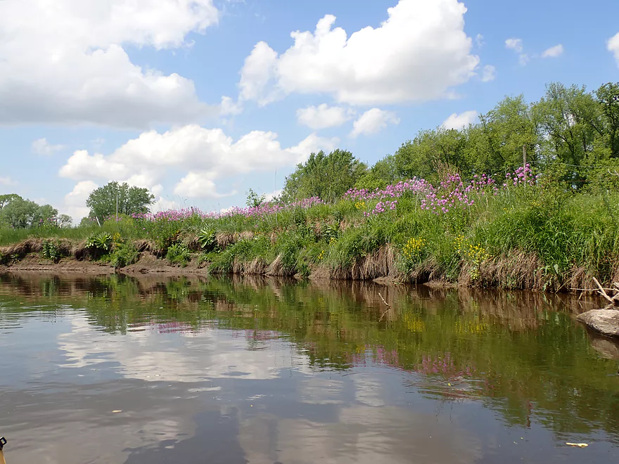
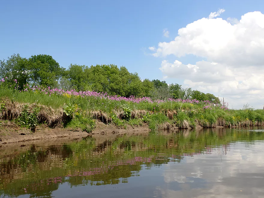
Bankside flowers
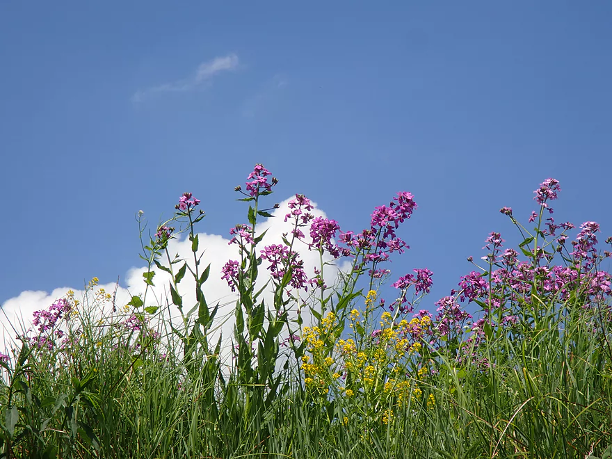
Good trip for wild flowers
Reverse view
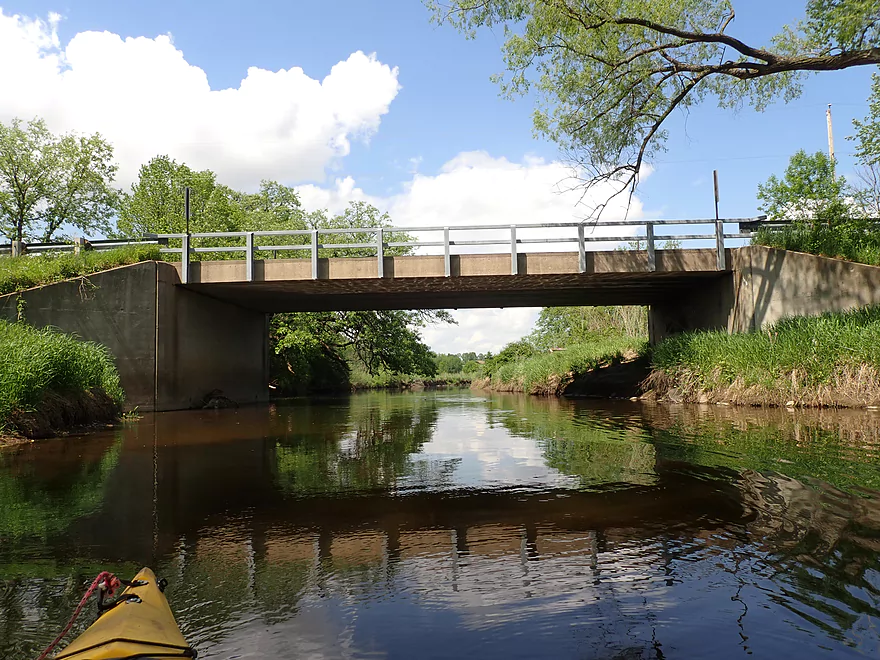
Hale Rd
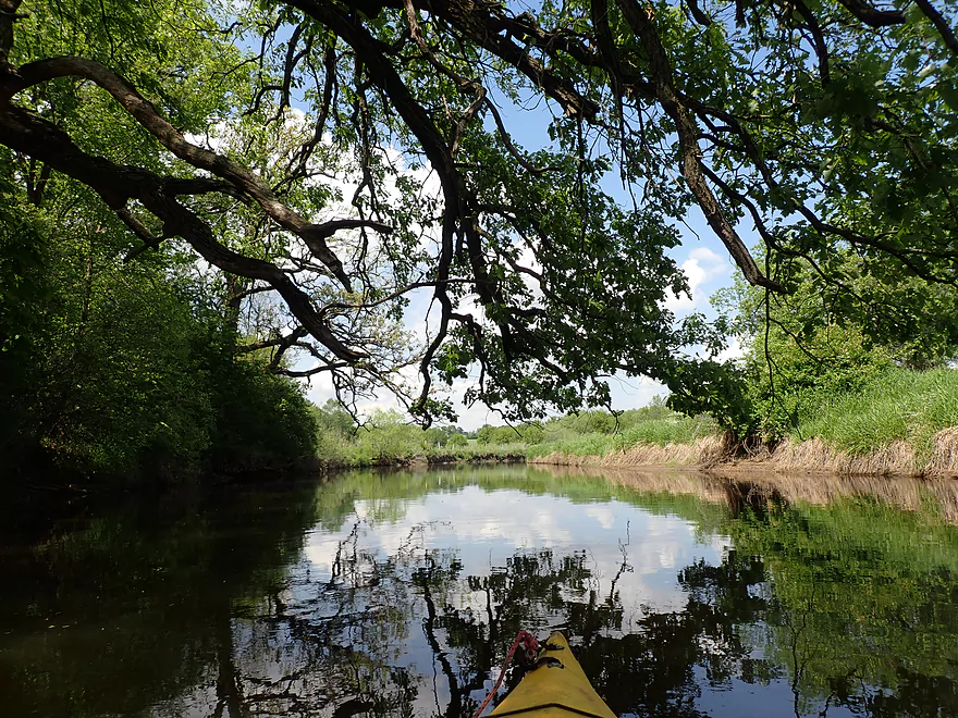
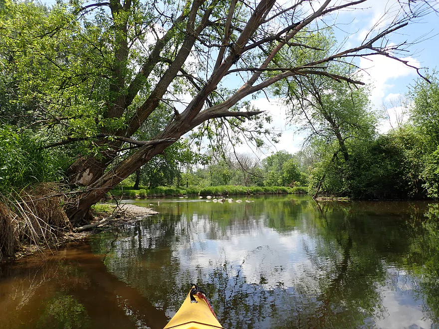
Huge oak provides a ceiling to the river
Taking out under Hale Rd
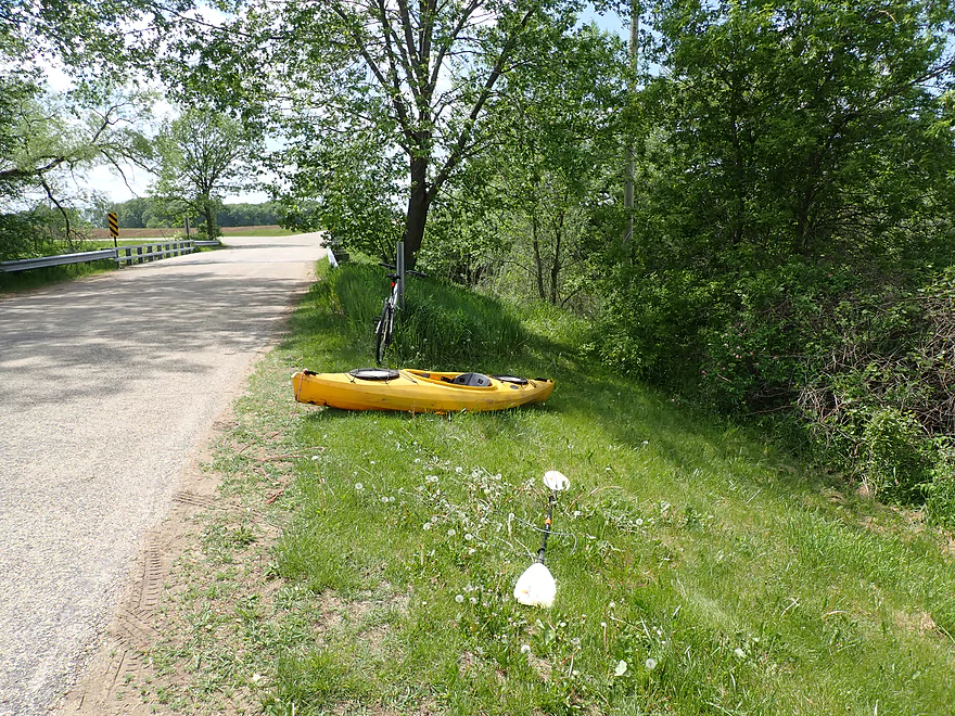
A faint fishing trail leads to the road
Decent shoulder parking
Scouting Hwy P…scenic, but a tricky put-in
Rubicon River – Neosho

The Rubicon is a small obscure tributary of the Rock River located between Oconomowoc and Horicon. I’ve twice paddled the Upper Rubicon (by Hartford) which, despite having some obstacles, was a fun little paddle. I’ve wanted to do the Lower Rubicon for a while but feared it had too many logjams. But I found a small stretch by Neosho that didn’t seem too bad and I decided to go for it.
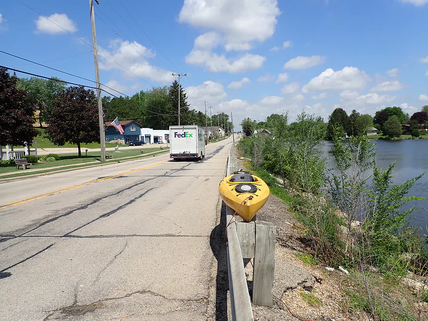
I started the trip at Jefferson Road, which was surprisingly popular (I was the 4th car there). My “undiscovered water trail” idea was likely already well known to the locals.
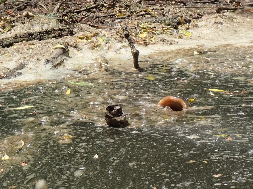
Mile #1 was kind of generic and meh. It wasn’t awful, but the slow current, muddy channel, and weedy banks weren’t very exciting (just 2 stars). An impressive spectacle was the huge schools of spawning carp (the most I’ve ever seen). They frequently thrashed about and jumped completely out of the water. They are strange animals and on occasion made weird smacking sounds. They fed by partially surfacing their lips above the water (like a periscope) and proceeding to slurp in yummy scummy goodness. Kind of like whales eating krill… I got a cool video of the carp feeding here.
Mile #2 saw the river widen significantly and was largely uninteresting outside of a few rocky banks and dense woods (1.5 stars). A couple of spots were quite shallow and silted in, thanks to the downstream dam in Neosho. The millpond will continue to silt in and eventually parts of the upper Rubicon will become unnavigable even for small boats.
Mile #3 was the main Neosho Millpond (2 stars). As far as lakes go, it’s not bad…but I’m not a big fan of lake paddling because of the lack of variation. The shoreline here is partially developed with expensive homes and features occasional motorboat traffic.
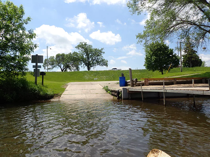
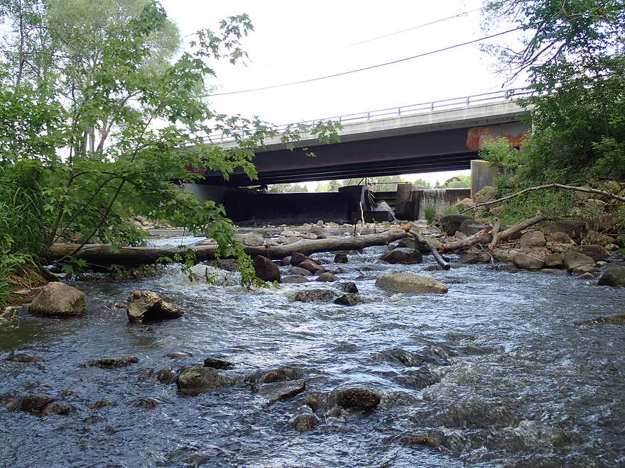
I could have ended the trip at Woodlawn Park located at the west end by the millpond. But I decided to portage the Hwy N dam to continue my trip downstream. This wasn’t the easiest of portages as it required hoisting my boat over a guardrail and across a busy road. Putting in though was quite easy as there was a nice fishing access on the downstream side of the dam.
The Rubicon River is actually split into three channels below the dam. To the north is an old and obscure millrace (not runnable). South of that the river splits into two main channels around an island. Both are partially blocked by rocks and rapids. I chose the north channel, which despite having a narrow and obstructed 2′ chute, was runnable. It would have been super easy to portage this had I wished. The south channel looked cool but was blocked by a log (hopefully somebody clears this out in the future).
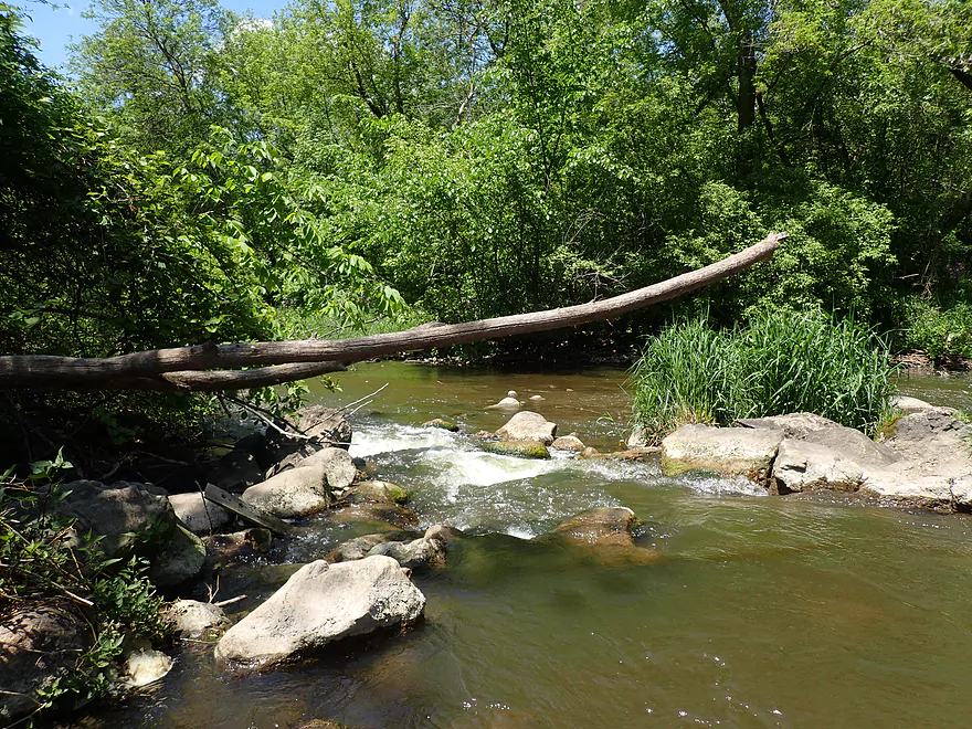
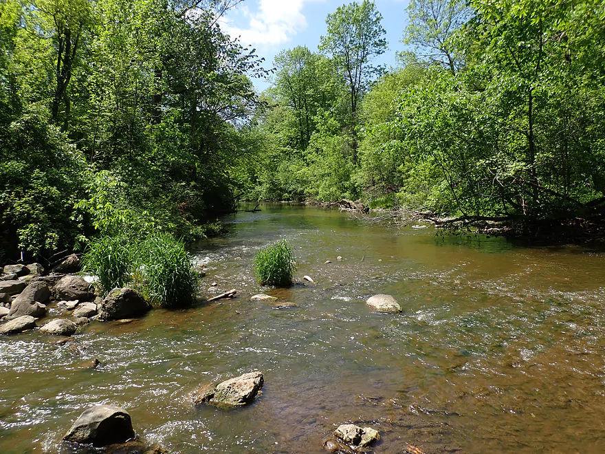
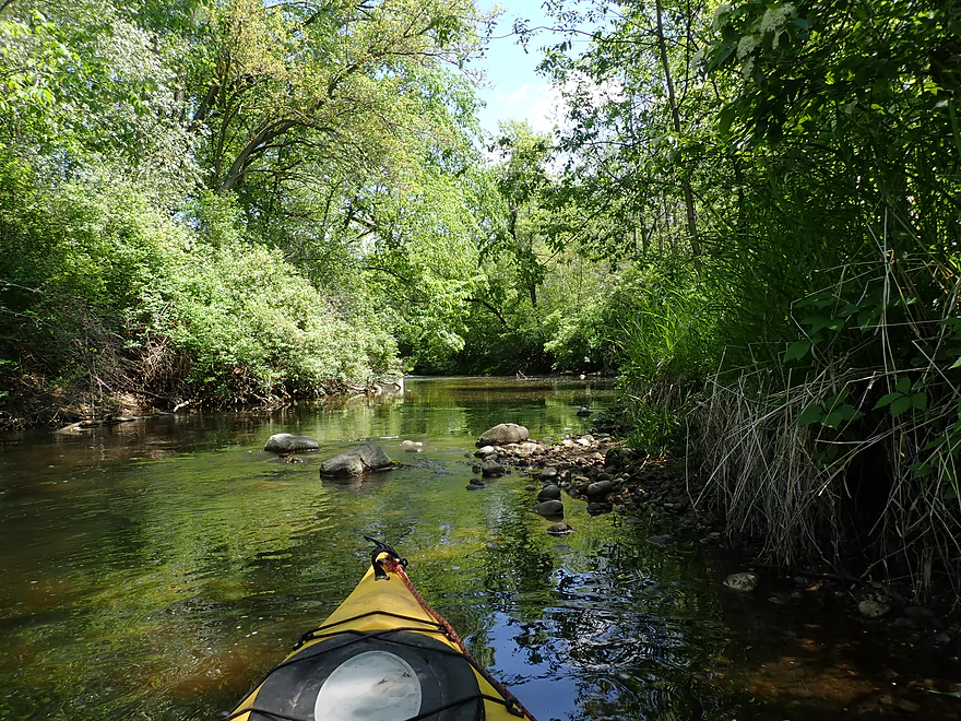
Mile #4 after the dam was quite different from the impounded stretches and was the best part of the trip (4 stars). There was finally actual current, a rocky bottom, fun little riffles, less mud, attractive bankside flowers, and even some small boulder gardens. My one fear going into this stretch was that it would have serious logjams, and while there were a few downed trees I never had to get out to portage which was really nice.
This was a difficult trip to judge in summary as it was practically two separate trips. Above the dam it was too slow and muddy for my taste. Granted I do appreciate that locals enjoy paddling it. Below the dam, the river was fantastic, but only 1.5 miles.
The Rubicon as a whole brims with potential but needs a little TLC from the local community. Ideally Neosho would get rid of their silted-in muddy carp pond by removing the dam and restoring the original channel. The grade here is good and the original pre-dam substrate was likely rocky and fast. Upstream from my put-in (Jefferson Rd) the river is scenic but has logjam issues. If cleared out, the Rubicon could be a destination water trail.
2024 update…After the dam, there are massive white poplar trees toppled over into the river forcing two difficult portages through a hunting stand in thick brush.
Sights included a redtail, an eagle, a great blue heron, and several snappers. Songbirds were very active and provided a nice soundtrack for the trip. The highlight (or lowlight) was the sheer number of carp I saw (mostly above the dam).
Jefferson Road: This is a popular river access (I was the 4th car there). Whether it is completely public or private is a good question though. A nicely mowed path forks and one part of the trail veers away from the river and has a No Trespassing sign. I didn’t take any chances, and simply hugged the road/DOT right-of-way and launched directly under the bridge. This wasn’t bad, but was a bit muddy.
Alternate Put-ins:
- Hwy P (2.0 miles upstream of Jefferson Rd): This would be a difficult put-in because of the bridge height, long guard-rail, and steep embankment. This additional two miles of river would be scenic, but would likely have maybe 5 logjam portages.
- Neosha Dam (2.6 miles downstream from Jefferson Rd): There is a decent public access below the dam (just don’t park between the fire-lane signs). Starting here allows one to see one of the best parts of the river, but would make for a short trip at just 1.5 miles.
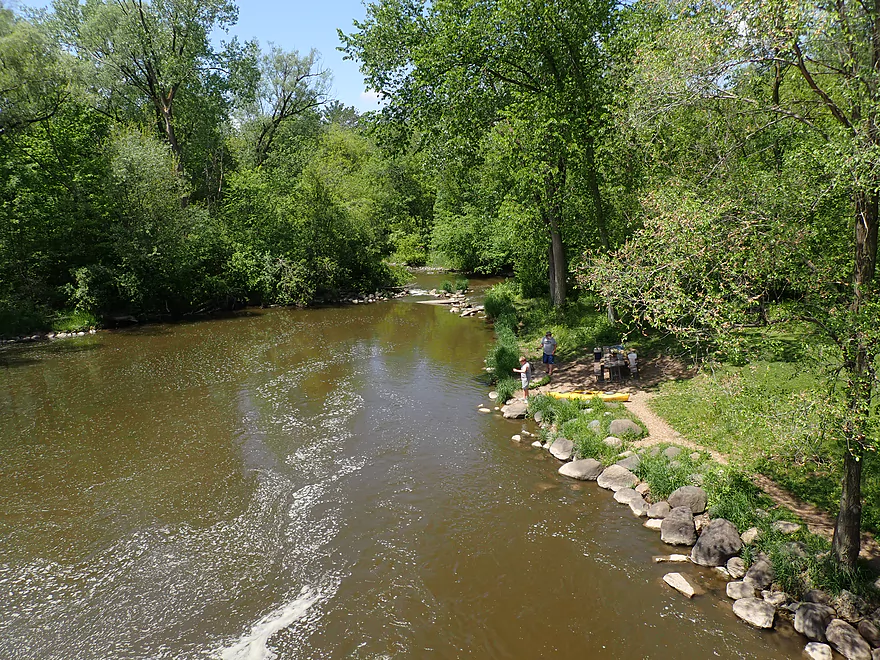
Hale Road: This was a good bridge take-out. There is a nice dirt bank under the bridge which makes getting out easy. A faint fishing trail leads up the northeast corner of the bridge where there is adequate shoulder parking.
Alternate Take-outs:
- Woodlawn Park (1.8 miles upstream from Hale Rd): This is a very good public access. I assume most paddlers just interested in kayaking the flowage take out here.
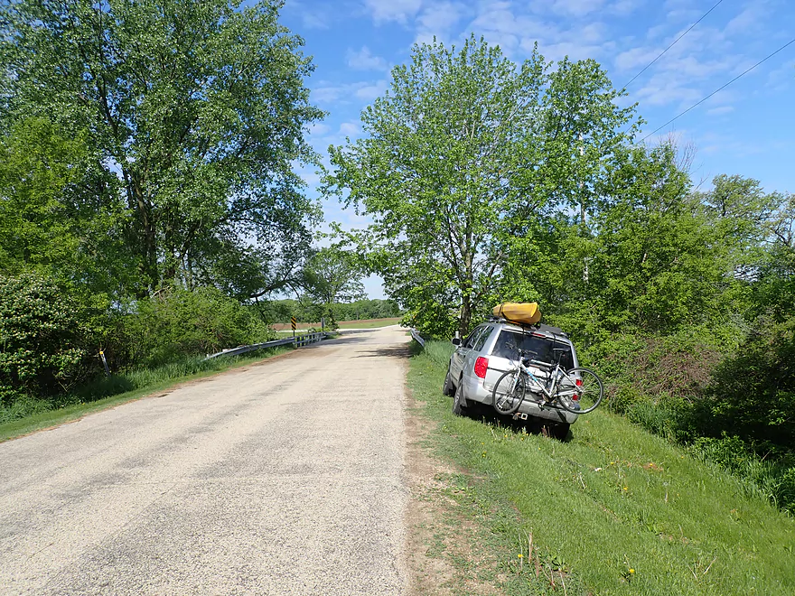
Hale Rd to Jefferson Rd: 4.1 miles with 95′ of ascent. There were two steep hills to climb, but other than that it was an easy shuttle.
Wind: Above the dam, the river is very open and susceptible to wind gusts. Avoid if the forecast includes strong headwinds.
Logjams: None. Below the dam there were several snags, but there was always a way through.
2024 update…After the dam, there are massive white poplar trees toppled over into the river forcing two difficult portages through a hunting stand in thick brush.
Rapids: None above the dam. Below the dam there were several light rapids. The most significant is a 2′ chute just after the dam. This was rocky and quite narrow. I would rate it a Class 2, but it is a super easy portage if you wish because of an adjacent fishing trail.
Current: Above the dam it is practically non-existent. Below the dam it is mostly pool and riffle.
Rock River – South Branch @ Waupun – Trip done at 28 CFS or 2.35′.
Depth Guide: Note, this gauge may not be very representative.
- 0-10 CFS: Likely too shallow.
- 11-20 CFS: Very shallow…the upper part of the flowage may not be navigable and several rapids below the dam might have to be walked.
- 21-40 CFS: Shallow depth but should be doable. I grounded out once on the flowage at 28 CFS, and twice below the dam on the rapids.
- 41-55 CFS: Likely a good depth, although some of the scenic boulder gardens may become submerged.
- 56-70 CFS: A high depth with likely very muddy water. Should be doable though.
- 71-90 CFS: The flowage can be paddled no problem, but below the dam the river might be pushy in spots and only suitable for experienced paddlers.
- 91-110 CFS: Below the dam it is likely too high for enjoyable paddling. Above the dam should be fine though.
Detailed Overview
- Beach at Pike Lake State Park to Hwy 60: 1.1 miles. This is a large lake. The northern shoreline along the state park boundary might be nice.
- Hwy 60 to Hilldale Drive: 0.9 miles. Maybe 7 logjams. Very congested. Hwy 60 is a poor access option and poor dam portage.
- Hilldale Drive to West Side Park: 3.0 miles.
- Hilldale Drive to Willowbrook Park: 1.7 miles. Mostly an open and simple wetgrass paddle. There are several Class 1 rapids above the railroad bridge and several strong Class 1 rapids below it. One low walk bridge will have to be portaged.
- Willowbrook Park to Post Office/Library/Dam: 0.6 miles. Mostly open flowage paddling, but some light rapids by Willowbrook Park. The park area and its bridges are quite striking.
- Dam to Jordan Park/Rural St: 0.2 miles. A very scenic urban paddle through downtown Hartford.
- Jordan Park to West Side Park: 0.5 miles. Cool section. Very narrow and rocky with several light rapids. Mostly wooded, but goes by some industry. Some snags, but I didn’t have to portage. Note in 2023 a paddler reported multiple serious jams in this stretch. Taking out at Rural Street is now recommended unless you scout the downstream leg.
- West Side Park to Hwy 60: 3.5 miles.
- West Side Park to Wacker Drive: 0.2 miles. A short section through an industrial stretch. Some deadfall to dodge.
- Wacker Drive to Liberty Ave/Sewage Plant: 1.5 miles. Starts with a wooded section with a lot of deadfall and two logjams that have to be portaged. After that the river opens up. As of 2024 this stretch has filled in with logjams. It is not recommended.
- Liberty Ave to Goodland Road: 1.3 miles. A rocky section with multiple sets of rapids.
- Goodland Road to Hwy 60: 0.5 miles. Neat section with fast current.
- Hwy 60 to Pond Road: 1.9 miles. Maybe 7 logjams mostly in the first half. The second half of this leg looks really scenic though. Parking at Pond Road looks steep and difficult.
- Pond Road to Saylesville Road: 1.4 miles. Good prospect with a lot of rocks. Maybe one logjam.
- Saylesville Road to Resthaven Road: 2.0 miles. Interesting prospect that is very rocky. Maybe 3-4 logjams.
- Resthaven Road to Hwy P: 2.3 miles. Maybe 4-5 logjams. Very scenic.
- Hwy P to Jefferson Road: 2.0 miles. Maybe 5 logjams.
- Jefferson Road to Hale Road: 4.4 miles.
- Jefferson Road to Woodlawn Park: 2.6 miles. Slow, muddy stretch through mostly impounded and carp infested waters. Neosho Millpond features some motorboat traffic and shoreline development.
- Woodlawn Park to Neosha Dam Fishing Access: 0.3 miles. Short leg on the flowage. Portage is a bit tricky because of a guardrail and medium busy road.
- Neosha Dam Fishing Access to Hale Road: 1.5 miles. A great stretch with some light rapids, boulder gardens, and nice woods. 2024 update...After the dam, there are massive white poplar trees toppled over into the river forcing two difficult portages through a hunting stand in thick brush.
- Hale Road to Hwy EE: 5.6 miles. Maybe over 30 logjams.
- Hwy EE to Mouth on Rock River: 3.5 miles. Reviewed by Rick Kark (critically).
- Hwy EE to Pike Road Pull-off/Creek Bridge: 1.5 miles. Somewhat open, but still ~4 logjams.
- Pike Road to Rock River: 2.0 miles. Floodbottom forest. Maybe 20 logjams.
- Mouth to Elmwood Road: 0.3 miles. Short easy stretch on the Rock River.
Trip Map
Overview Map
Video
Photos Size:
I just wanted to say that I stumbled upon this website searching for more details on the Wisconsin River/lake system in hopes to find new and great paddle drop off/pickup points and maps. I quickly realized there is nothing that tells you established rivers/channels to plan a paddling excursion (especially since it’s a newer hobby) at the drop points. And even more so none with pictures, reviews, and maps all in one place. This website is amazing and is going to make my summer planning a breeze! Great site!
Thank you!
I paddled this earlier this week on 04/30. Going from Jefferson Road to the Neosho Millpond Dam was a fun trip, and the best leg of the Rubicon IMO. I was excited for the section beyond the dam, however, there are massive white poplar trees toppled over into the river forcing two difficult portages through a hunting stand in thick brush. I would recommend taking out at the Millpond dam or doing a roundtrip from Jefferson Road unless those jams are cleared.
Thanks Gregor for the update. I updated the review to include your warning.