
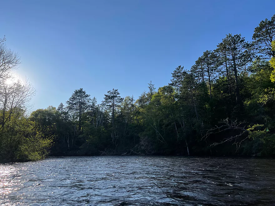
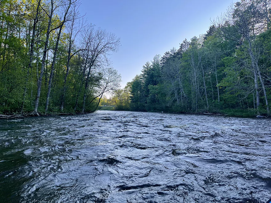
Start of trip at Groat Landing with rapids
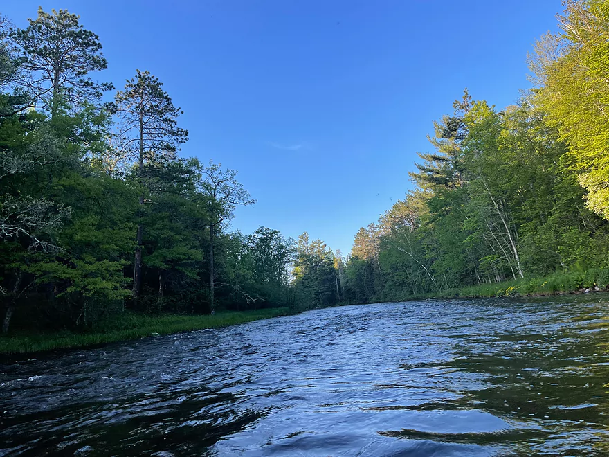
A few riffles
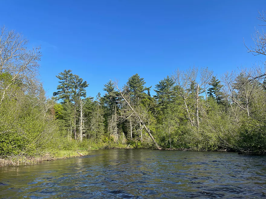
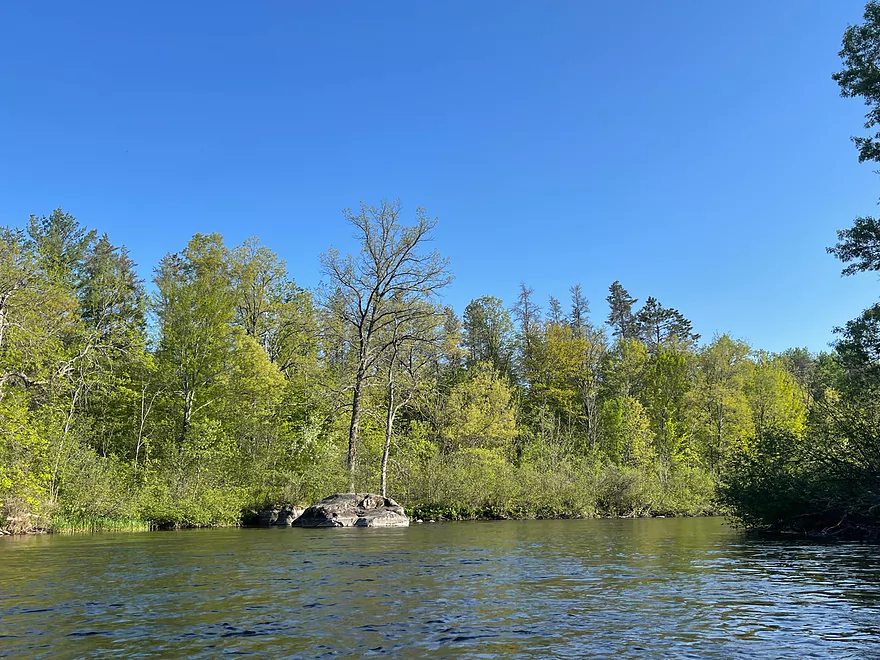
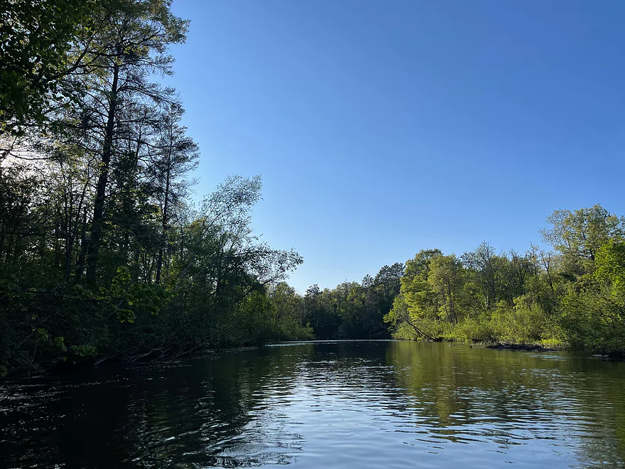
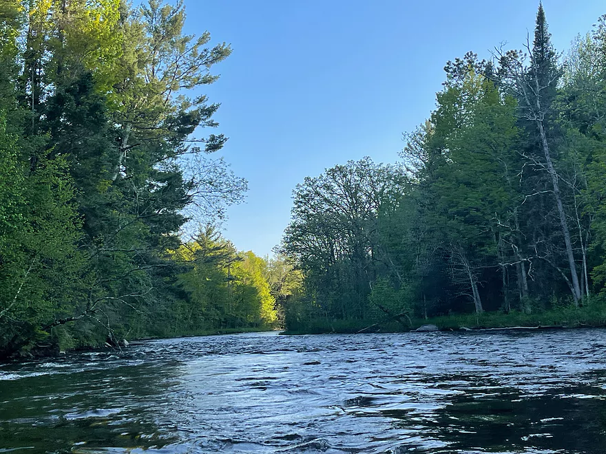
Paddling to the left of islands
Mile 52.6 campsite
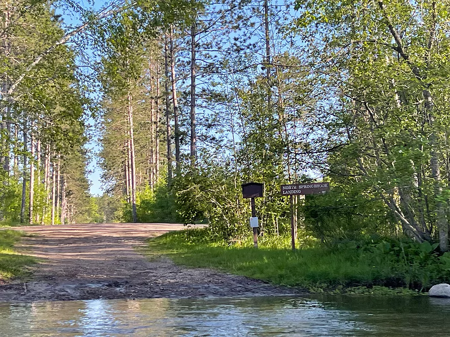
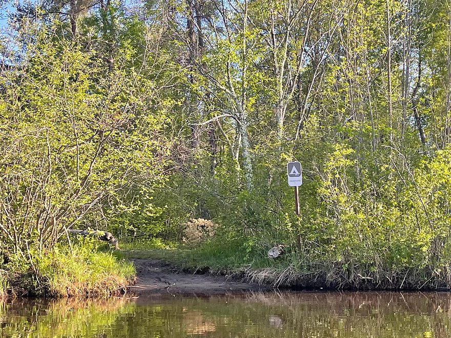
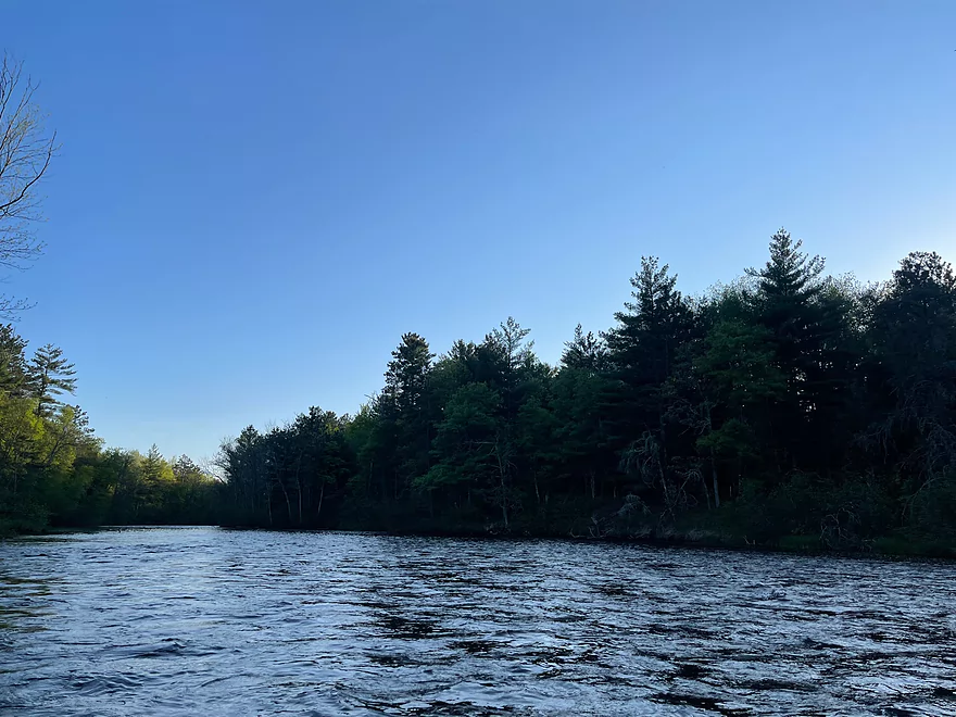
North Springbrook Landing
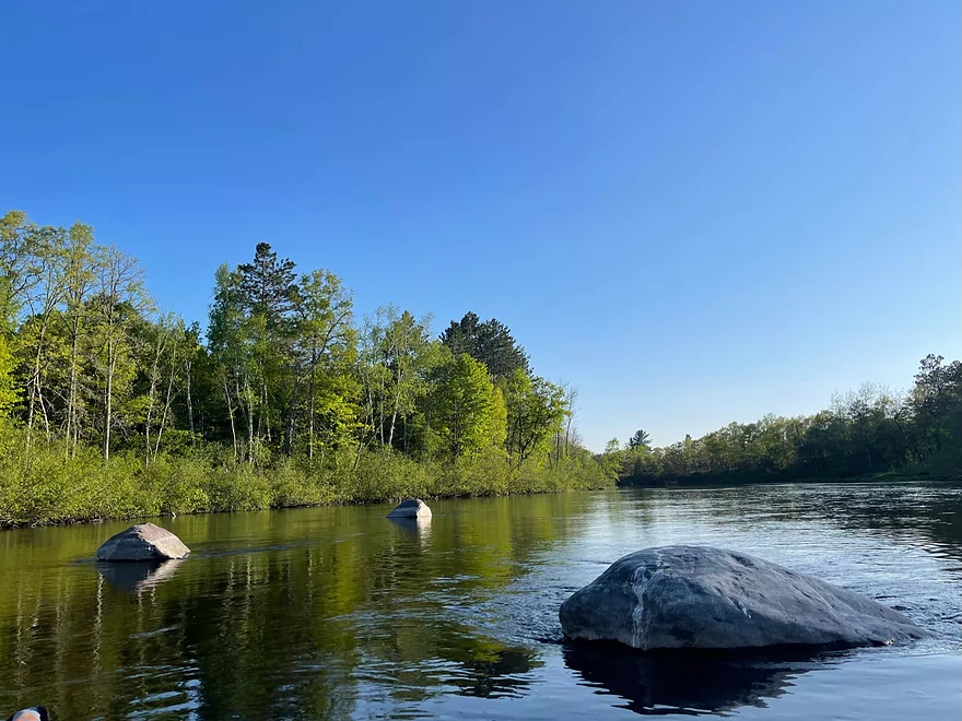
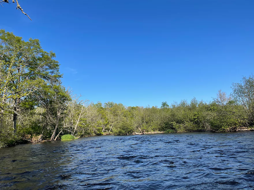
A few boulders
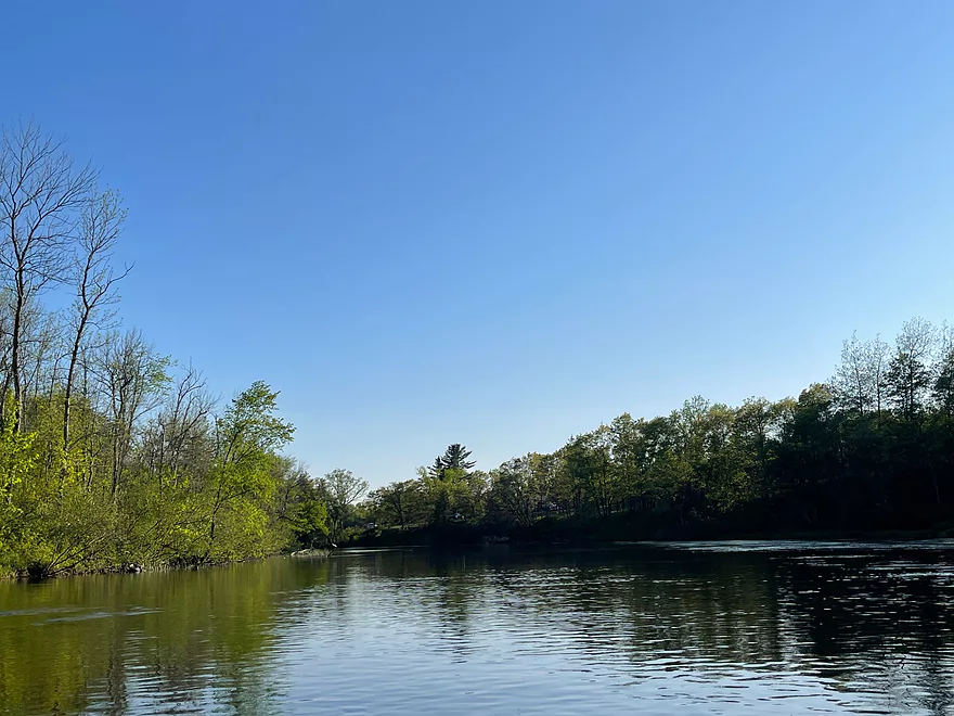
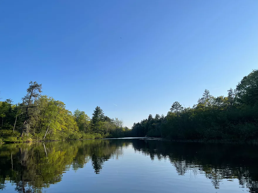
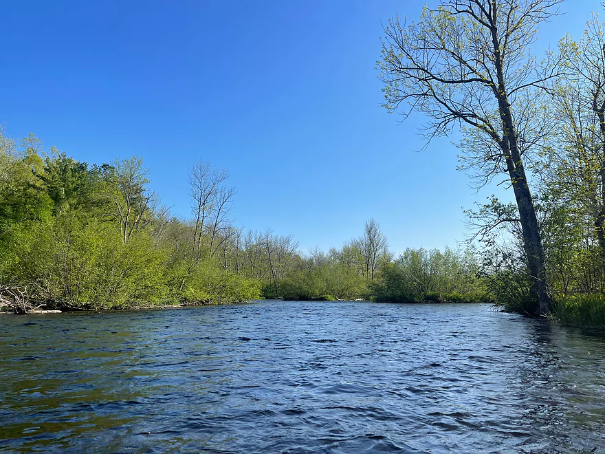
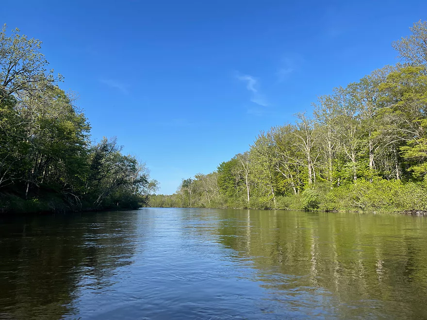
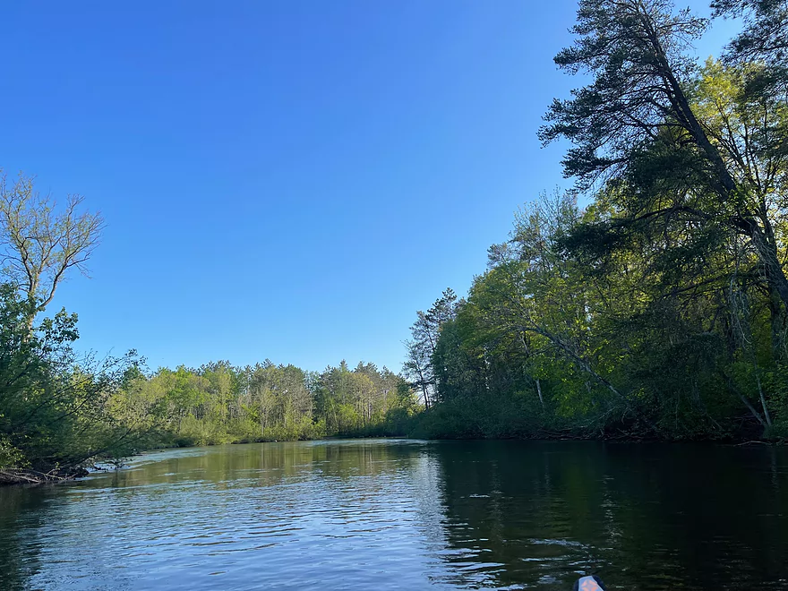
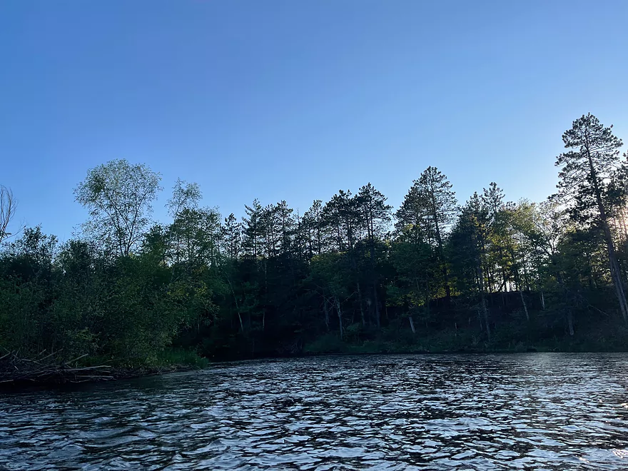
Calmest stretch of the trip
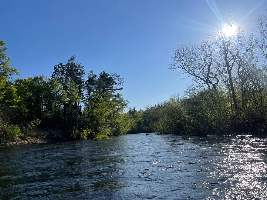
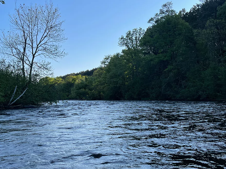
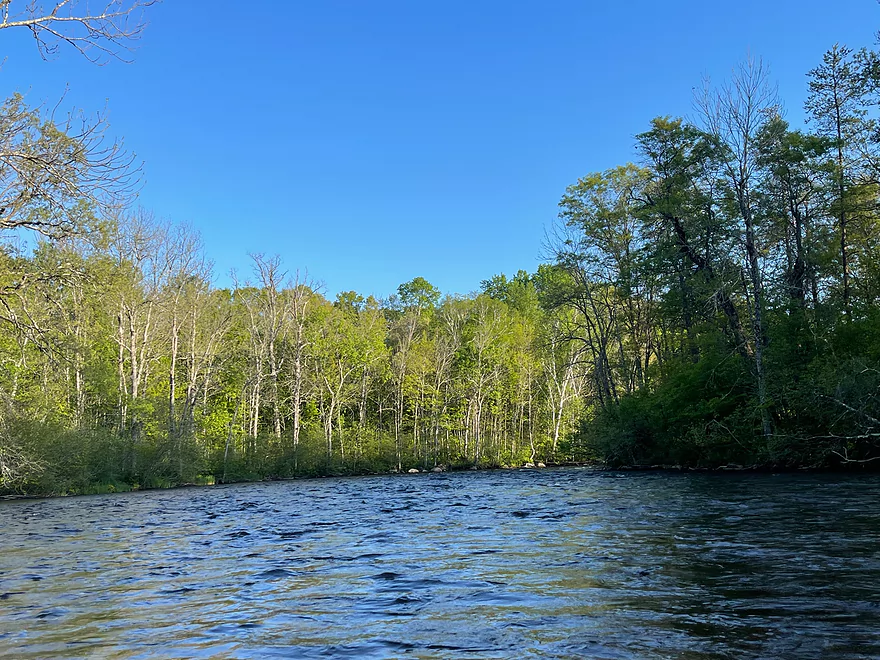
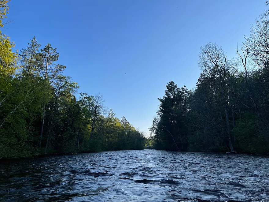
Start of the rapids stretch
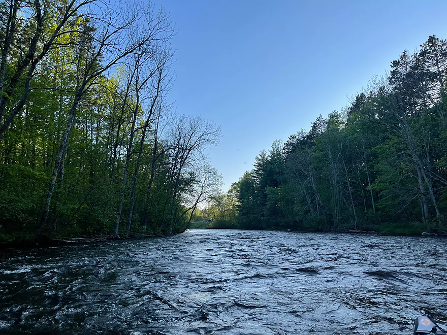
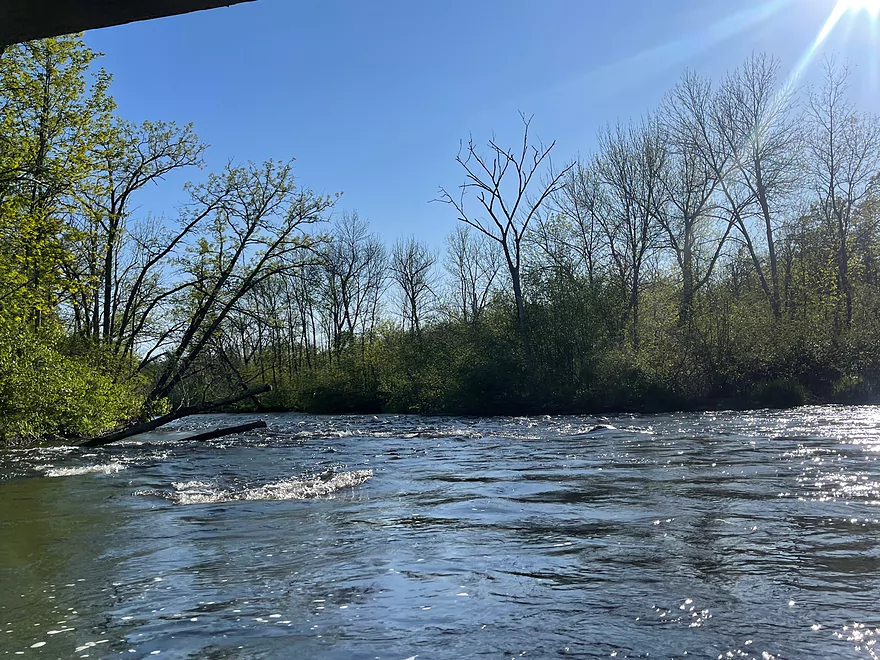
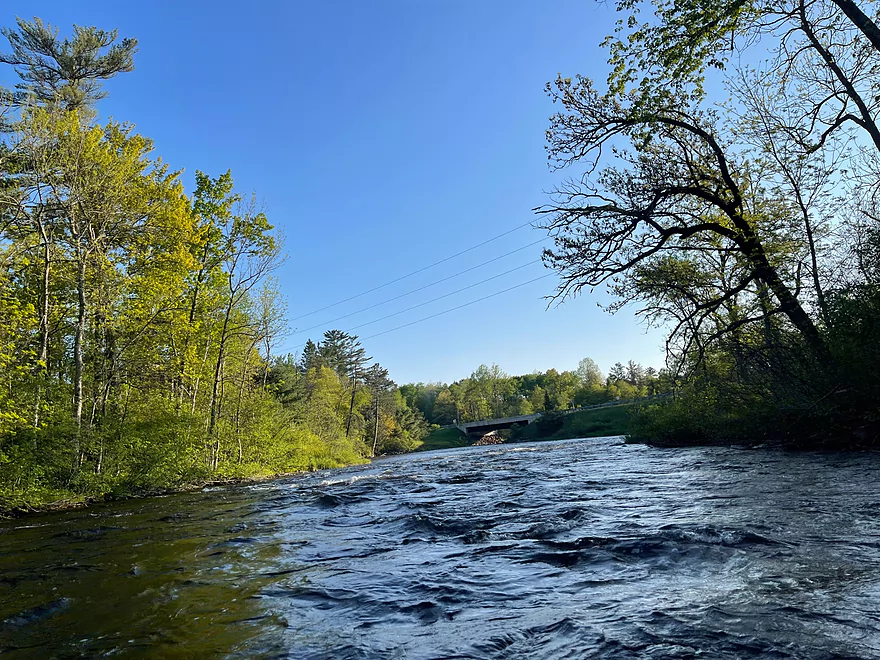
Rapids pick up in intensity before the Hwy 63 bridge
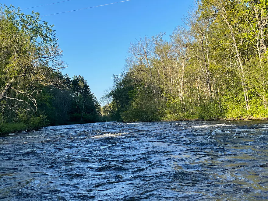
Looking upstream at the Class II rapids
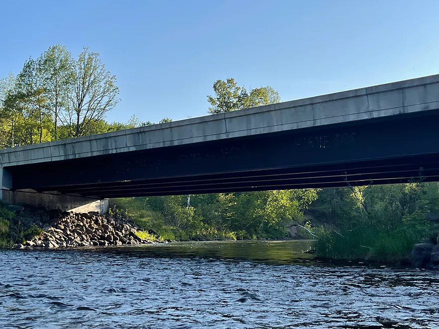
Hwy 63
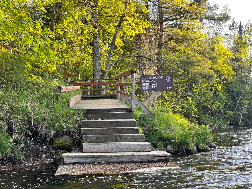
Take out at Springbrook Landing
Namekagon River – Groat to Springbrook

This stretch of the Namekagon River runs very fast and is very scenic. There are a few stretches of Class I and II rapids which are fun to run. The only down side is that this stretch runs close to Hwy 63. The highway is mostly out of view but cars can constantly be heard throughout most of the trip.
The trip starts out with rapids then calms for about 2 miles until some rapids before North Springbrook Landing. The river then calms for the slowest part of the trip where the trees reflect perfectly off of the water. The river then picks up with Class I and II rapids under the Hwy 63 bridge and over to the Springbrook Landing. The landing is well marked but the current is fast at the take-out.
Thanks Peter for the review! WisconsinRiverTrips.com is always very appreciative of guest reviews, and if you the reader is ever interested in submitting one, you can use this online form.
Detailed Overview
- Upstream from the Namekagon River Dam: There is an immediate flowage and then upstream the river splinters and could still be navigable, but I don't know.
- Namekagon River Dam to Cable Wayside: 14.7 miles.
- Namekagon River Dam to Hwy M: 7.2 miles. A terrific leg with some Class 2 rapids.
- Hwy M to Cable Wayside/Hwy 63: 6.9 miles. Good prospect with much less rapids. Many intermediary access options (each bridge really).
- Hwy 63 to Mossback Road Landing: 3.9 miles. Very good prospect and a local favorite.
- Mossback Road Landing to Larson Road Landing: 4.9 miles. Very good prospect and a local favorite.
- Larson Road Landing to Phipps Landing/Hwy 63: 3.3 miles.
- Phipps Landing to W. Phipps Bridge/Trout Run Landing: 2.8 miles.
- W. Phipps Bridge to Eagle's Landing: 2.4 miles. Eagle's Landing should be a bit NE of W. Hospital Road.
- Eagle's Landing to Hayward Dam: 3.2 miles. Mostly flowage paddling.
- Hayward Dam/1st Street to Stinnett River Road Landing: 9.1 miles. A good and popular stretch.
- Stinnett Landing to Groat Landing/Brickman Lake Road: 3.0 miles. Several Class 1 rapids.
- Groat Landing to Springbrook Landing: 4.9 miles.
- Groat Landing to Trails End Road Landing: 2.4 miles. Section with Class 2 rapids.
- Trails End Road to Legion Lane Landing: 2.7 miles. A few Class 1 rapids.
- Legion Lane Landing to Big Bend Landing/Pow Road: 5.2 miles. A few Class 1 rapids.
- Pow Road to Earl Park Landing/Road N: 3.8 miles. Mostly flatwater.
- Earl Park Landing to Trego/Cash Road: 5.0 miles. Mostly flatwater...there are other take-out options in Trego. Take-out is just NE of Wagon Bridge Road.
- Trego to Road K Landing: 5.6 miles. Mostly flowage paddling.
- Road K to McDowell Bridge Landing: 22 miles.
- Road K to Whispering Pines Road Landing: 10.3 miles.
- Whispering Pines to Howell Landing: 4.4 miles. You can take out on either side of the river.
- Howell Landing to Fritz Landing/River Landing Road: 3.5 miles.
- Fritz Landing to McDowell Bridge Landing/Web Creek Dr.: 2.7 miles.
- McDowell to Namekagon Trail Landing: 7.0 miles.
- Namekagon Trail Landing to Mouth: 5.0 miles.
- Mouth to Riverside Landing/Hwy 35: 3.7 miles. A short stretch on the St. Croix to reach a take-out.
Trip Map
Overview Map
Photos Size: