
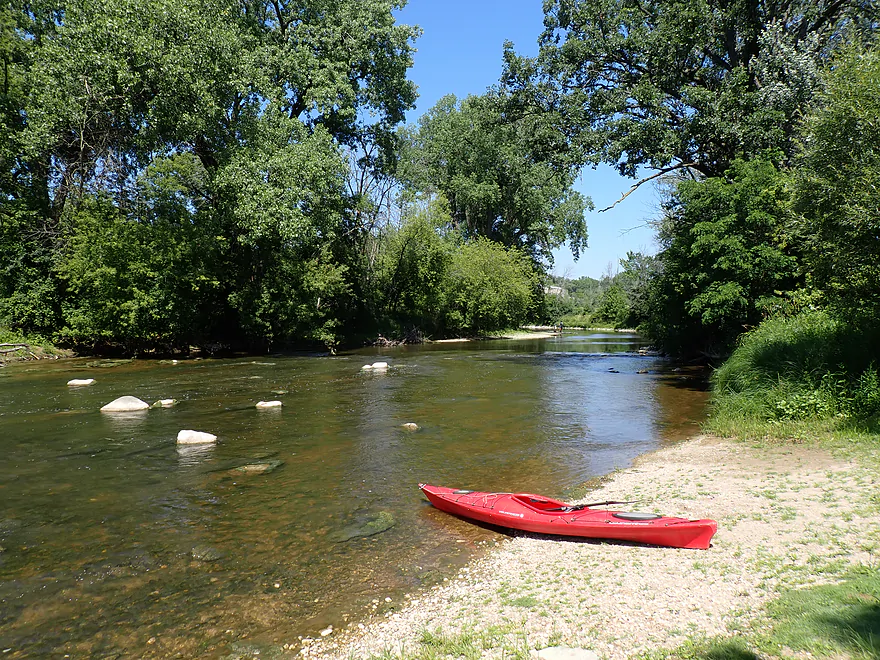
Starting at Esslingen Park (great launch)
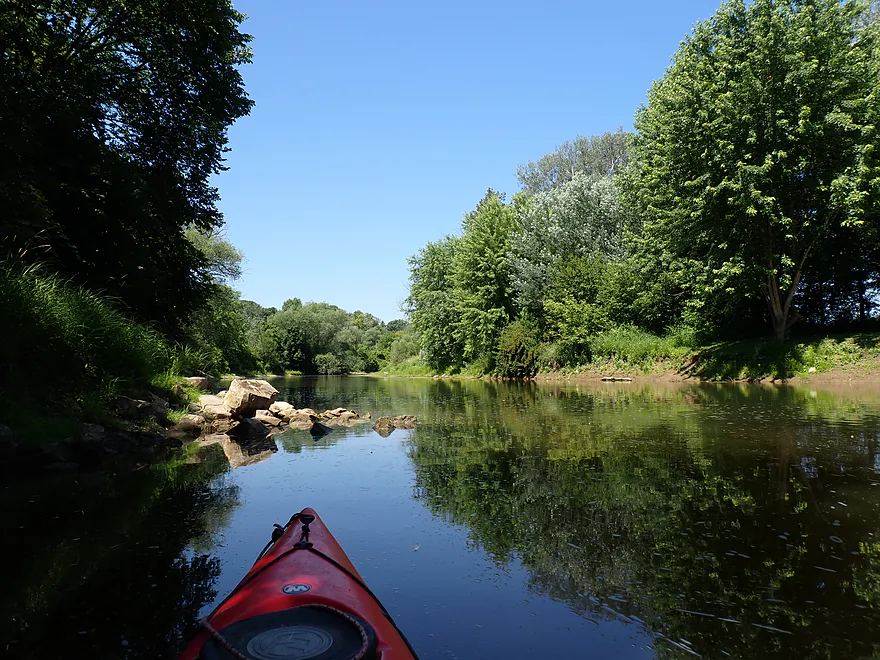
The current soon dies
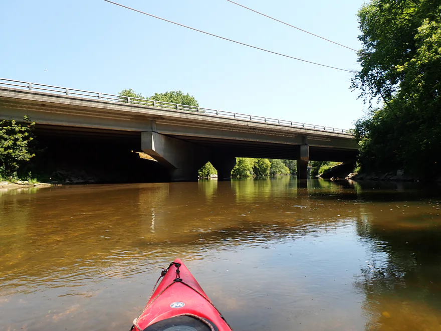
Indiana Ave
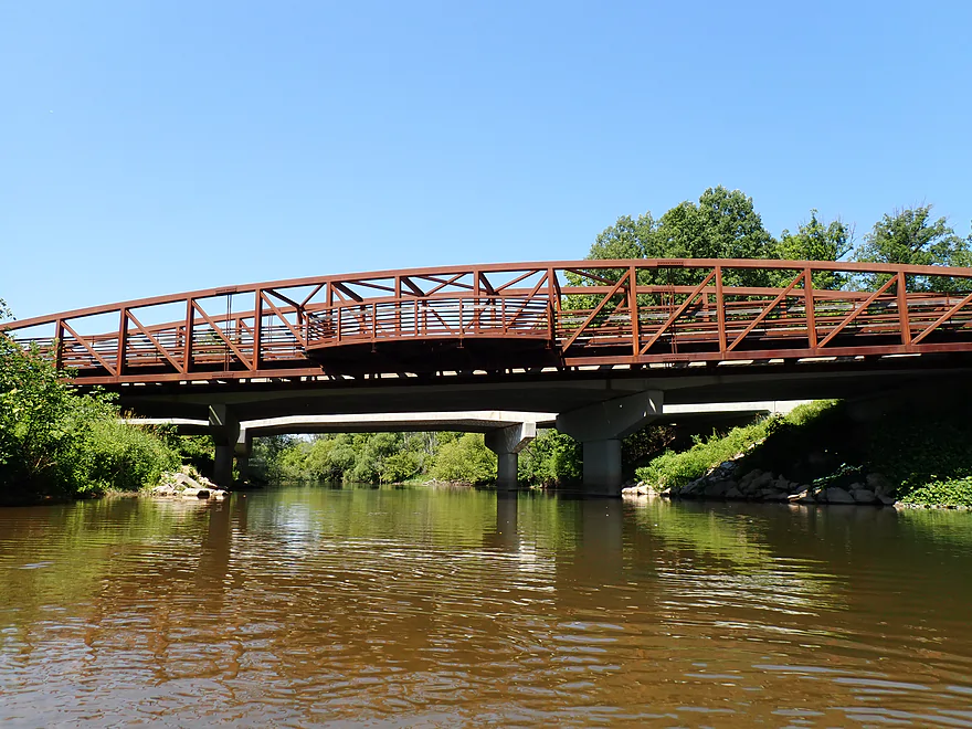
Interesting fishing deck
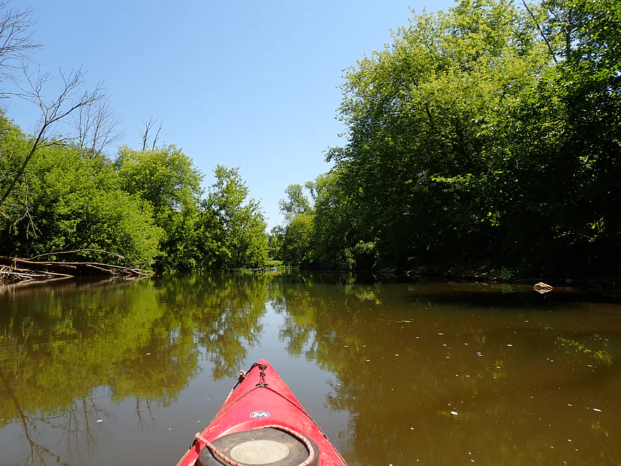
A lot of the early shoreline was meh
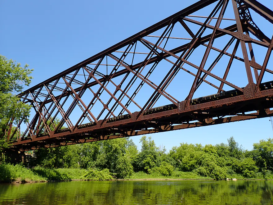
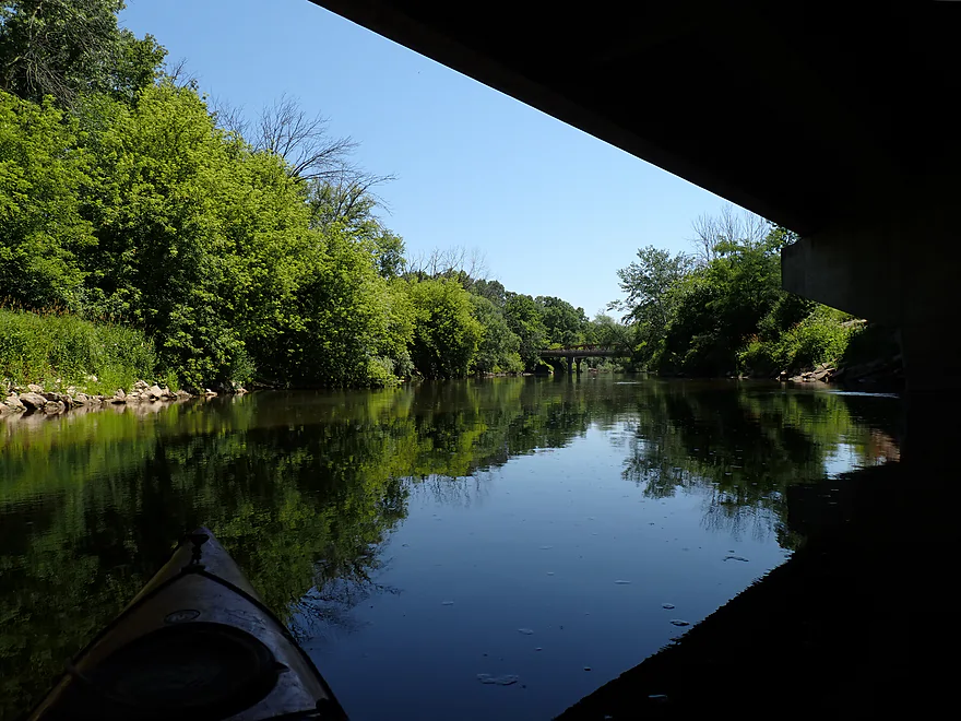
Historic iron trestle railroad bridge
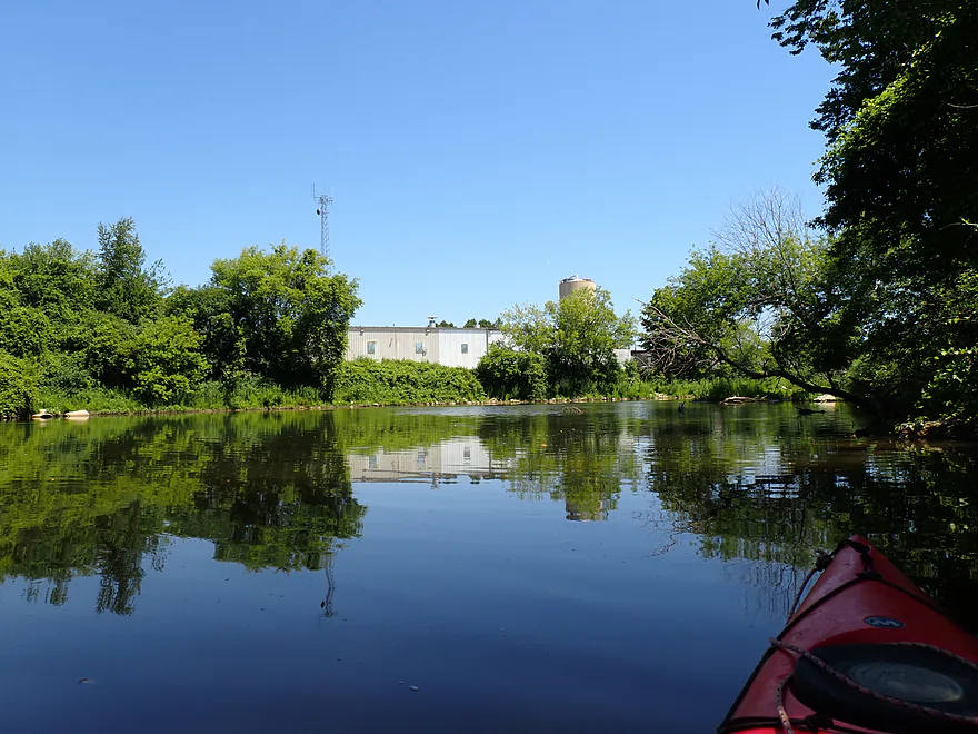
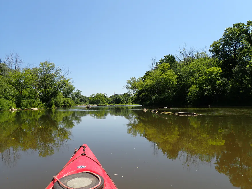
Approaching a large island
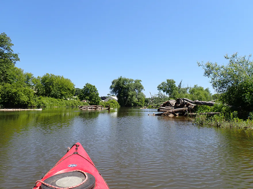
A lot of deadfall accumulates here
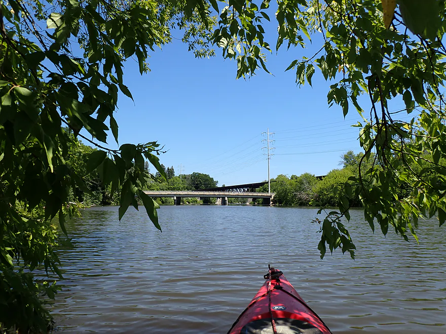
New Jersey Ave
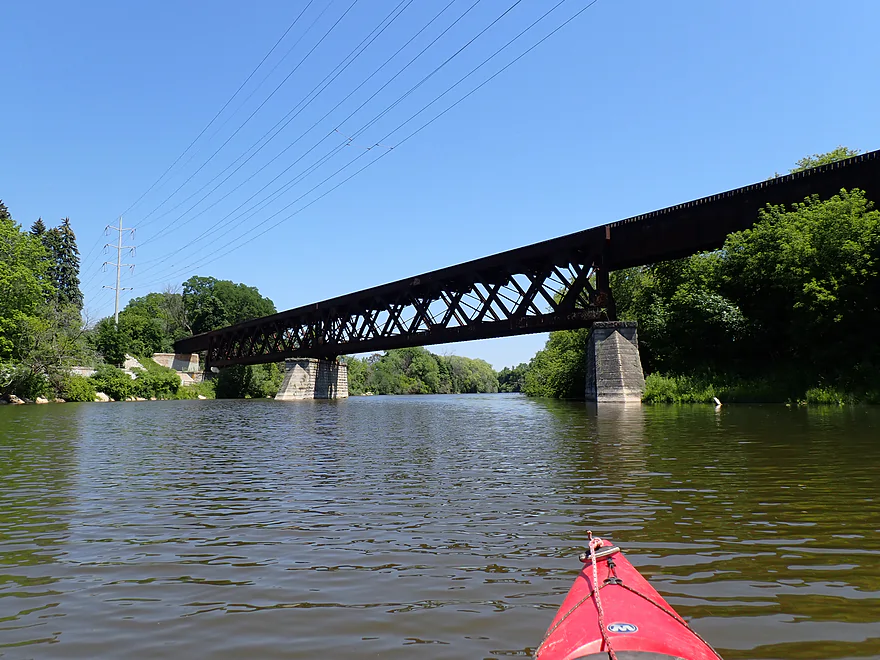
Another terrific railroad bridge
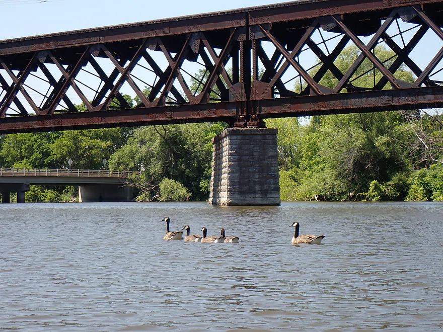
Three teenage geese flanked by their parents
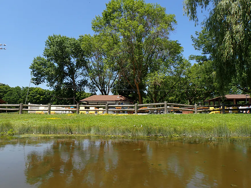
Kiwanis Park has a beer garden (only in Sheboygan!)
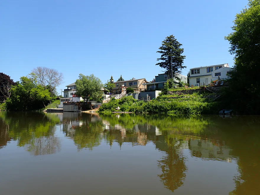
Starting to see more homes
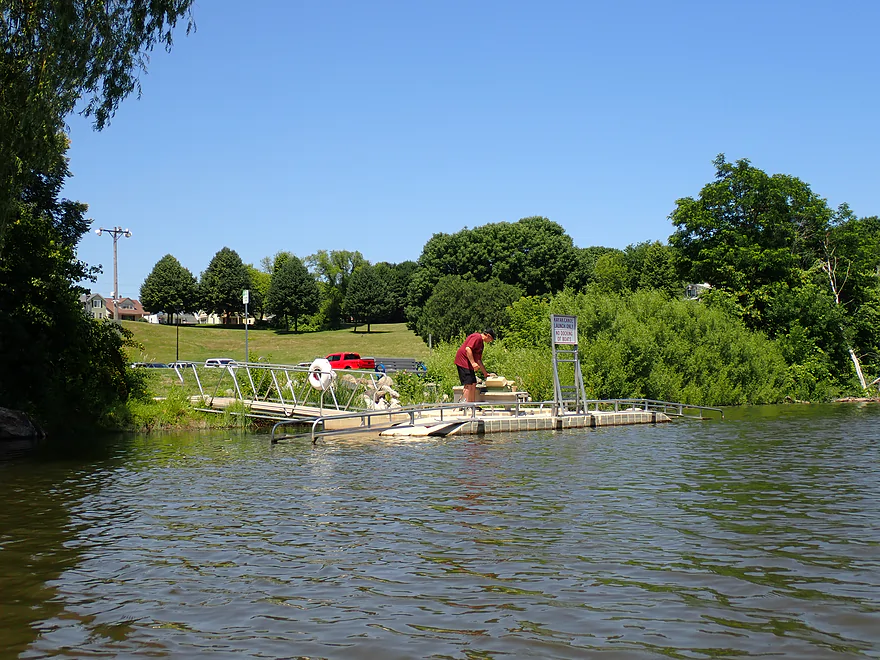
There is a great kayak launch at the north end of Kiwanis Park
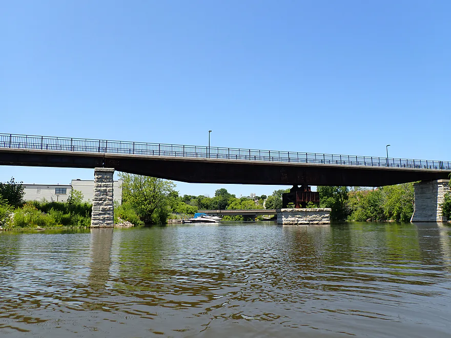
14th Street marks a hairpin turn in the river
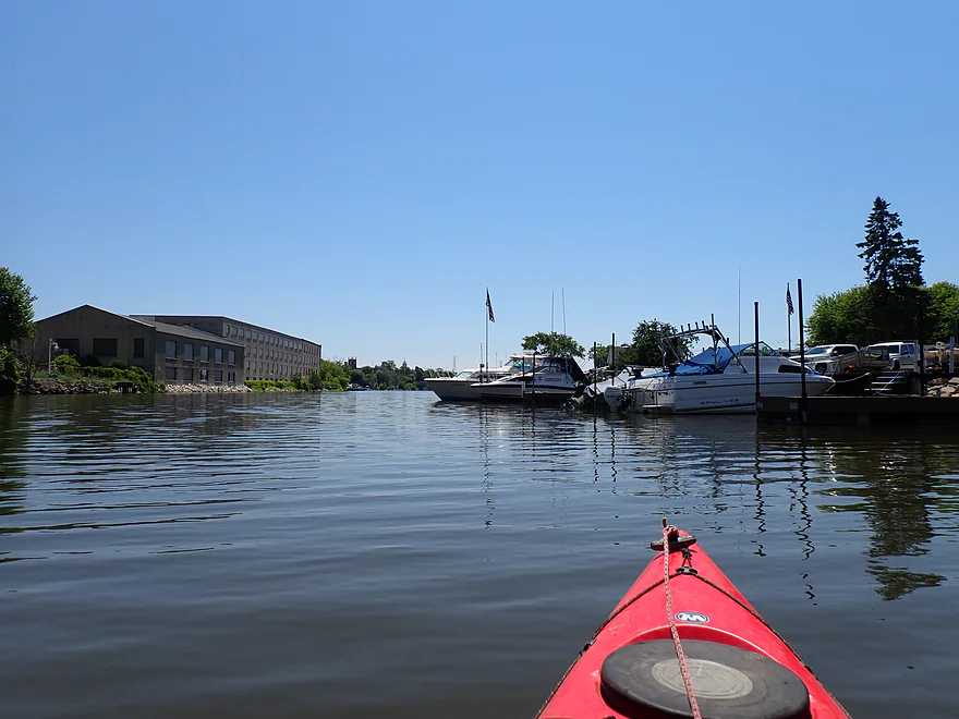
Shoreline starts to become more urban
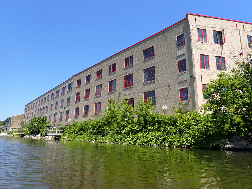
Old Garton Toy Factory (now apartments)
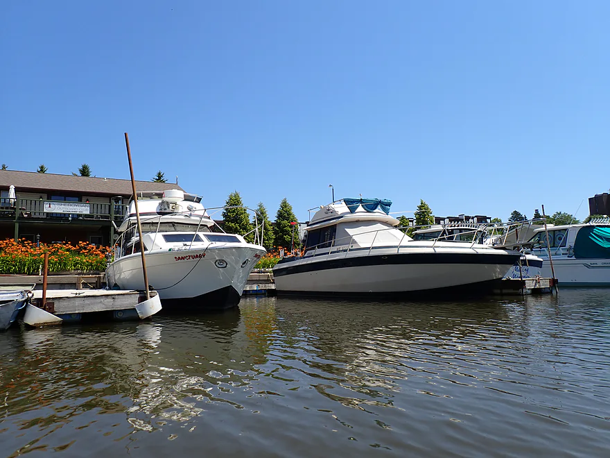
Parked lake cruisers become a common sight
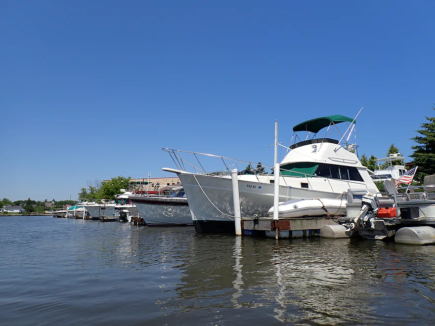
One of the bigger ones
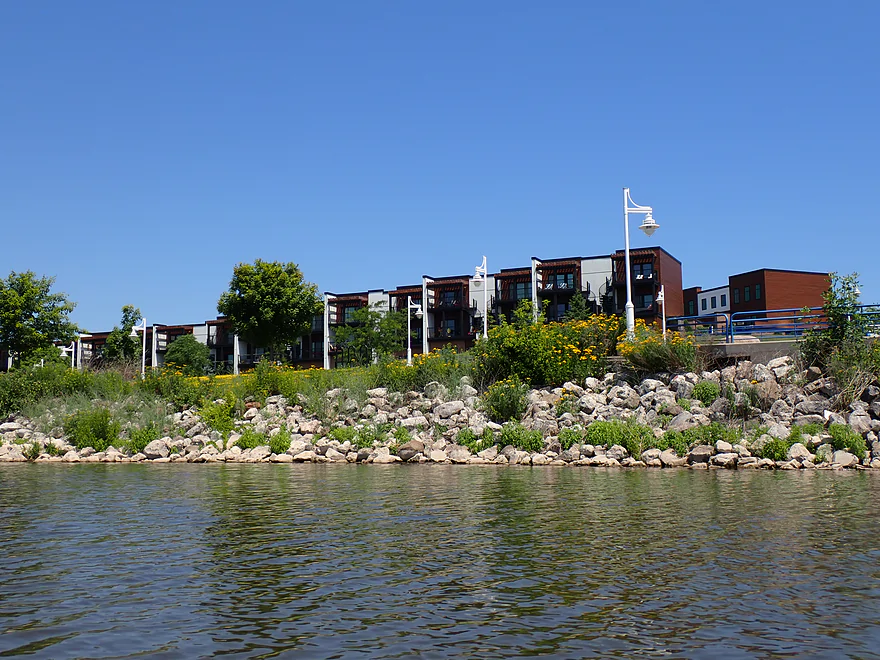
Rotary Riverview Park
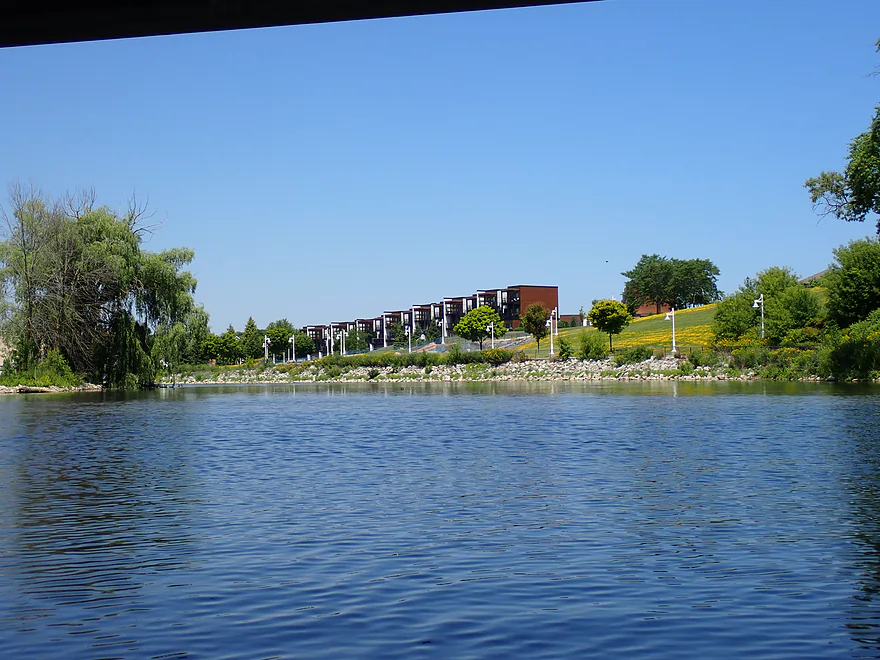
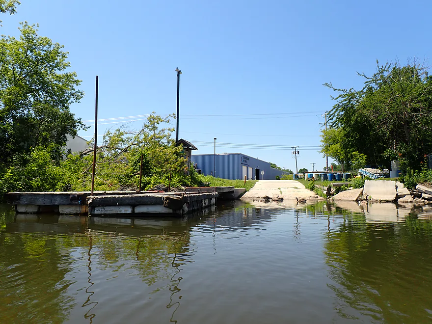
One of several public ramps (this is east of 14th Street)
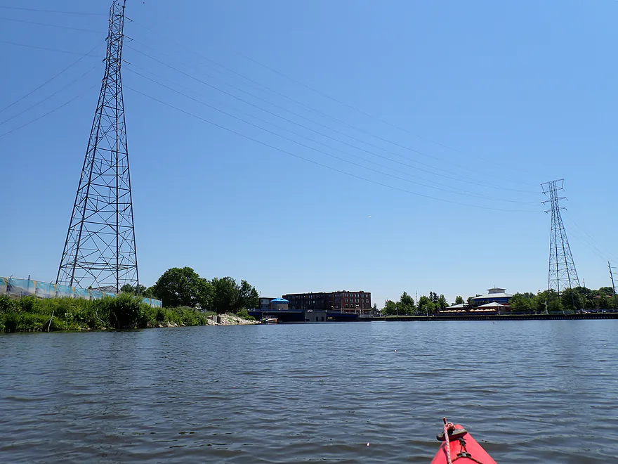
Very ugly high-line wires
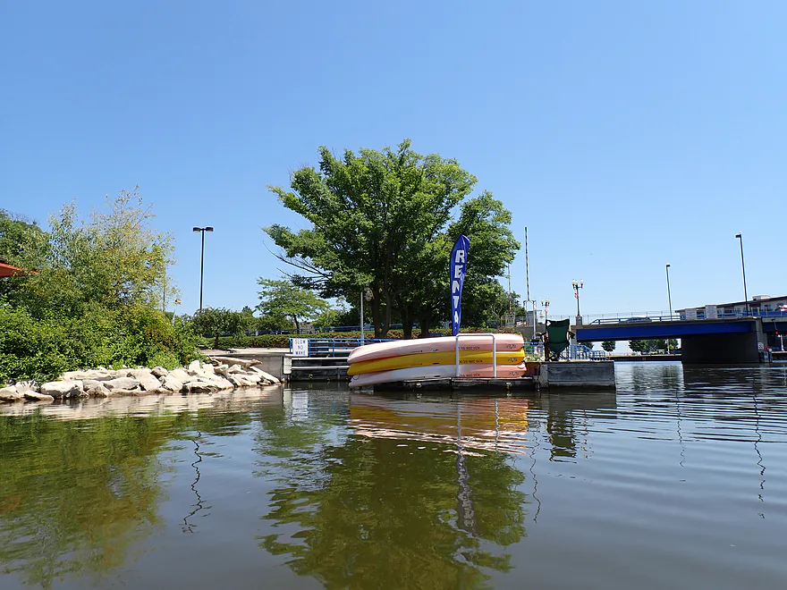
Local kayak rental
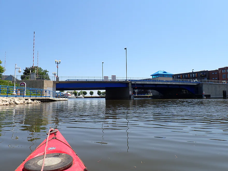
The 8th Street drawbridge–the final river crossing before Lake Michigan
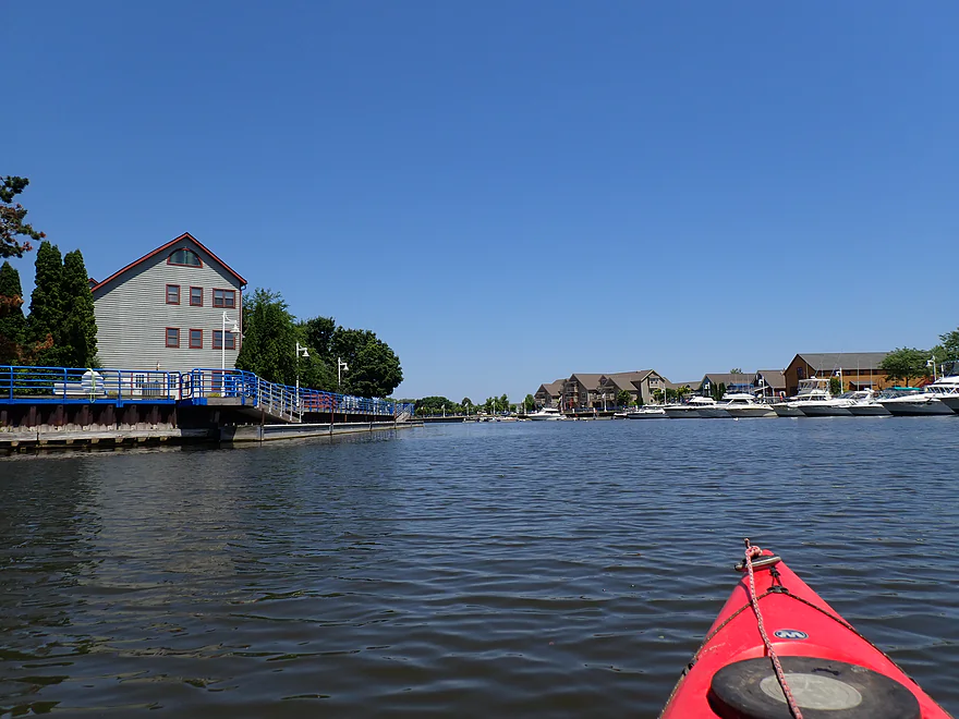
Entering the historic Fish Shanty Village
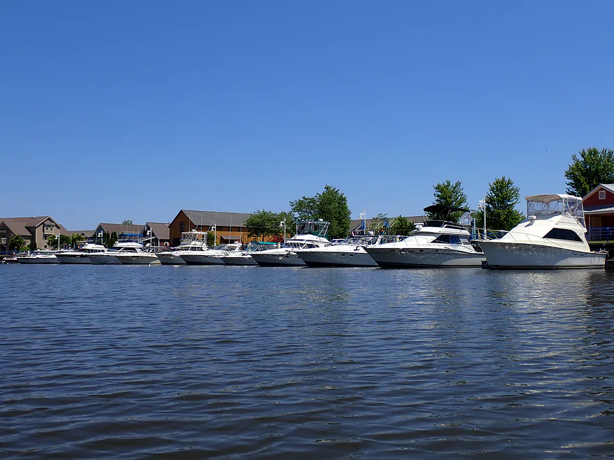
Lots of lake boats use the Sheboygan River as a parking lot
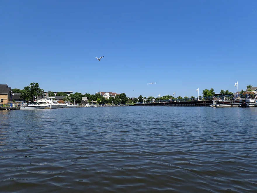
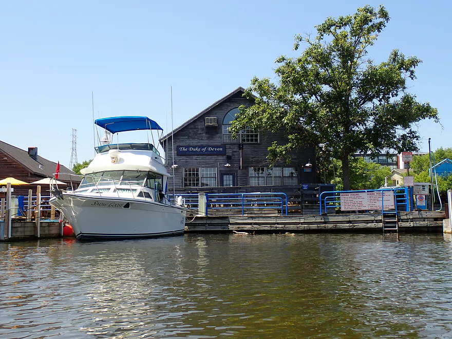
A lot of touristy restaurants and boutiques here
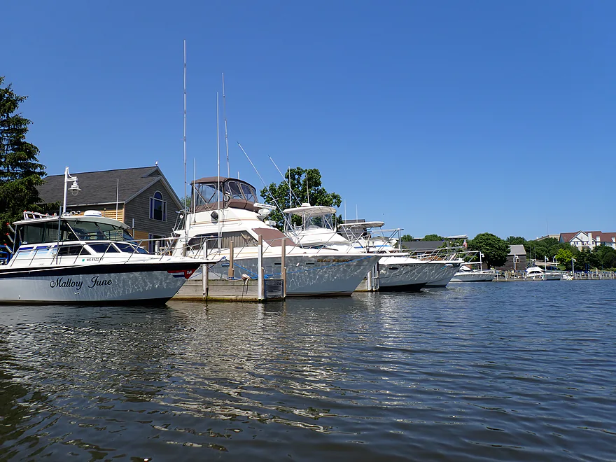
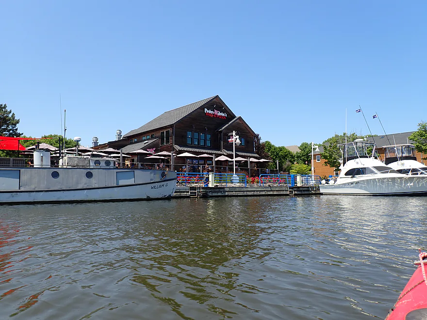
One of the more popular establishments
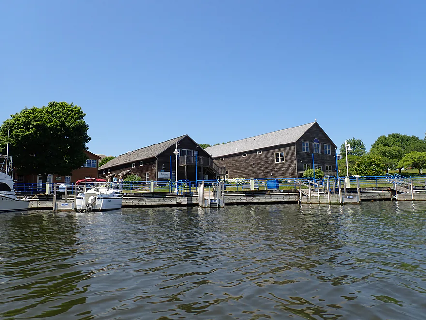
Wood siding influenced by the European immigrants
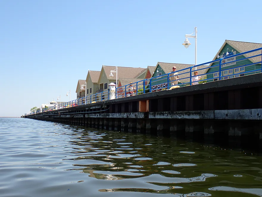
There are popular river walks on both sides of the river
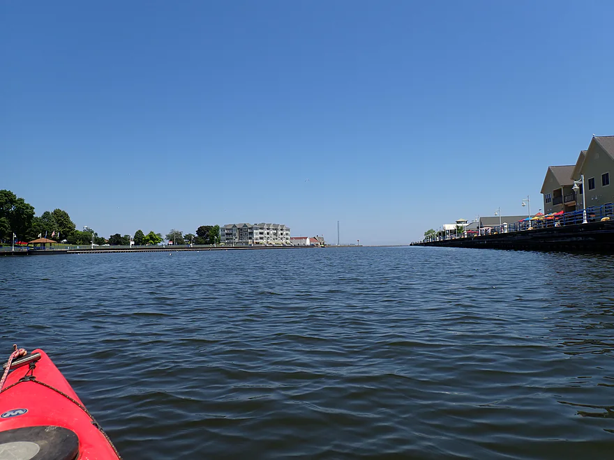
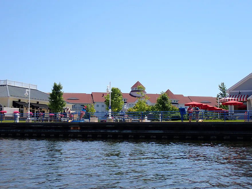
The Blue Harbor Resort
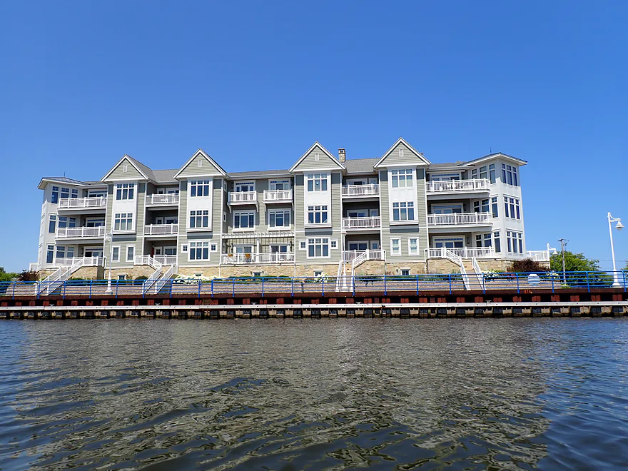
Apartments with great views of the river
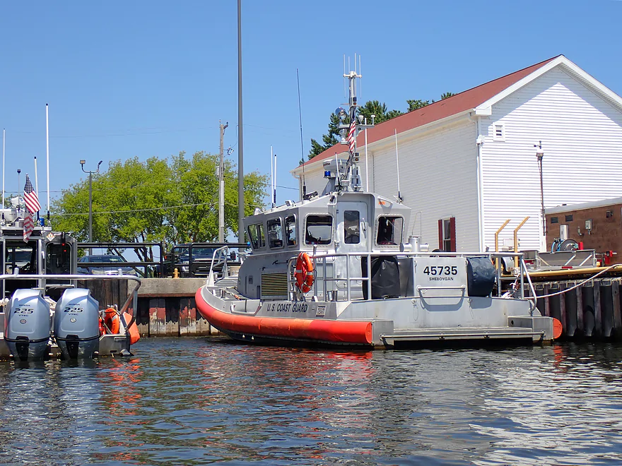
Local Coast Guard boat
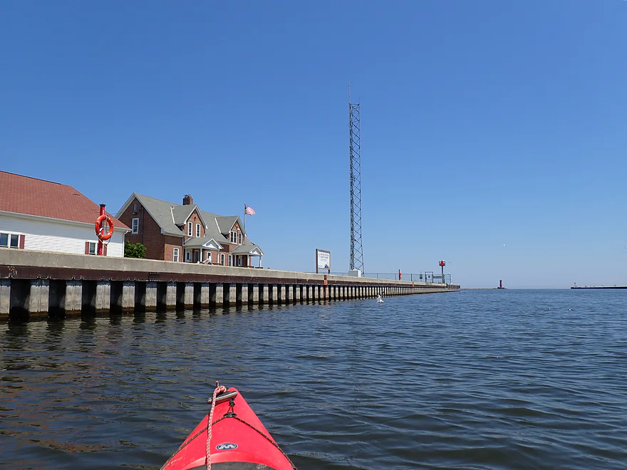
Final stretch
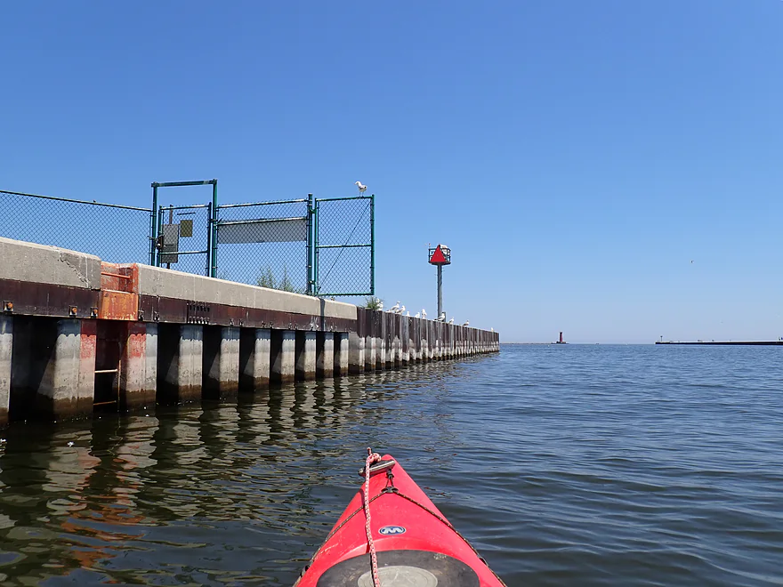
Apparently gated off
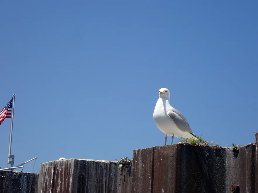
Lots and lots of gulls
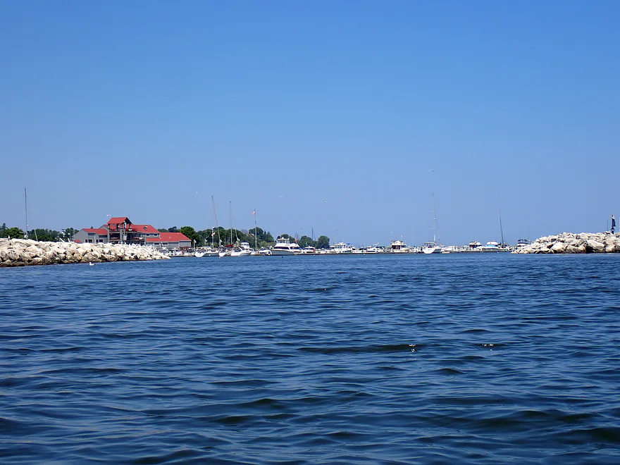
Sheboygan Harbor
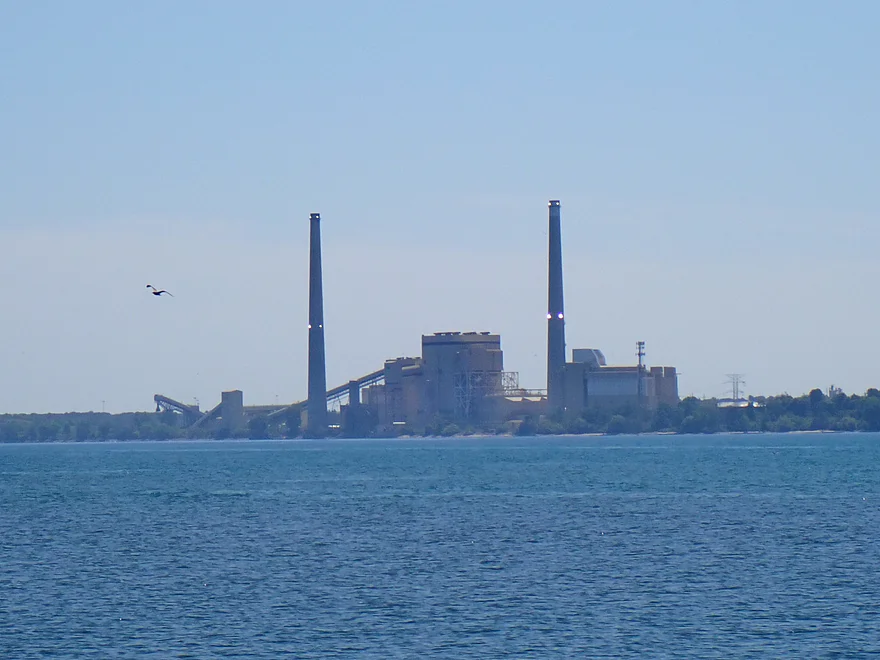
Edgewater (massive coal power plant)
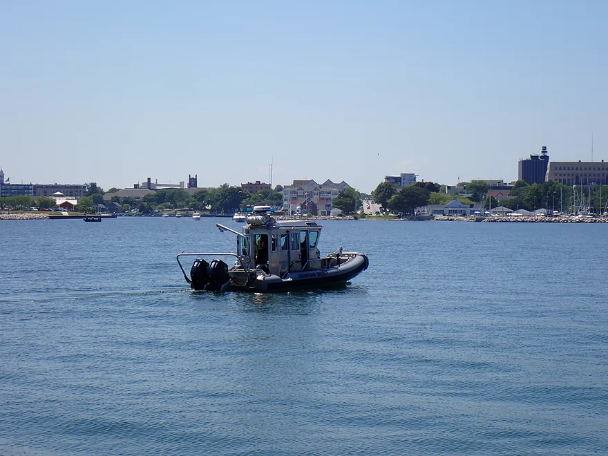
Sheboygan County Sheriff on patrol
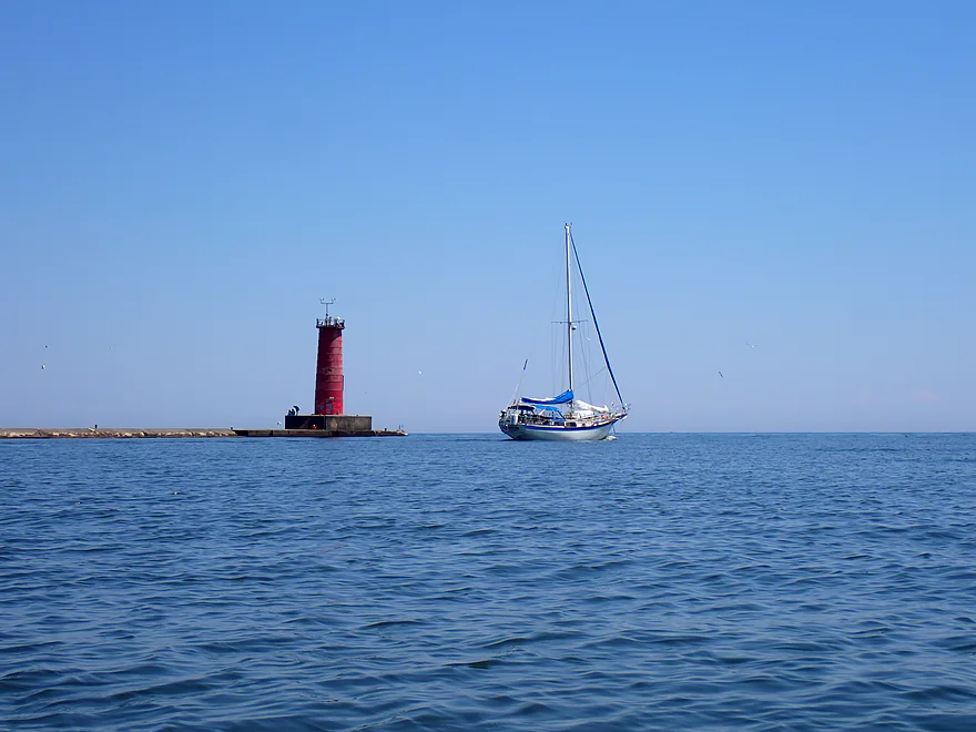
Looking at the exit of the breakwater
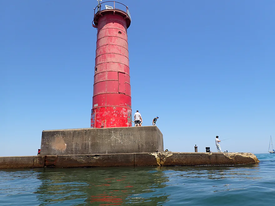
Sheboygan Breakwater Lighthouse (popular tourist attraction)
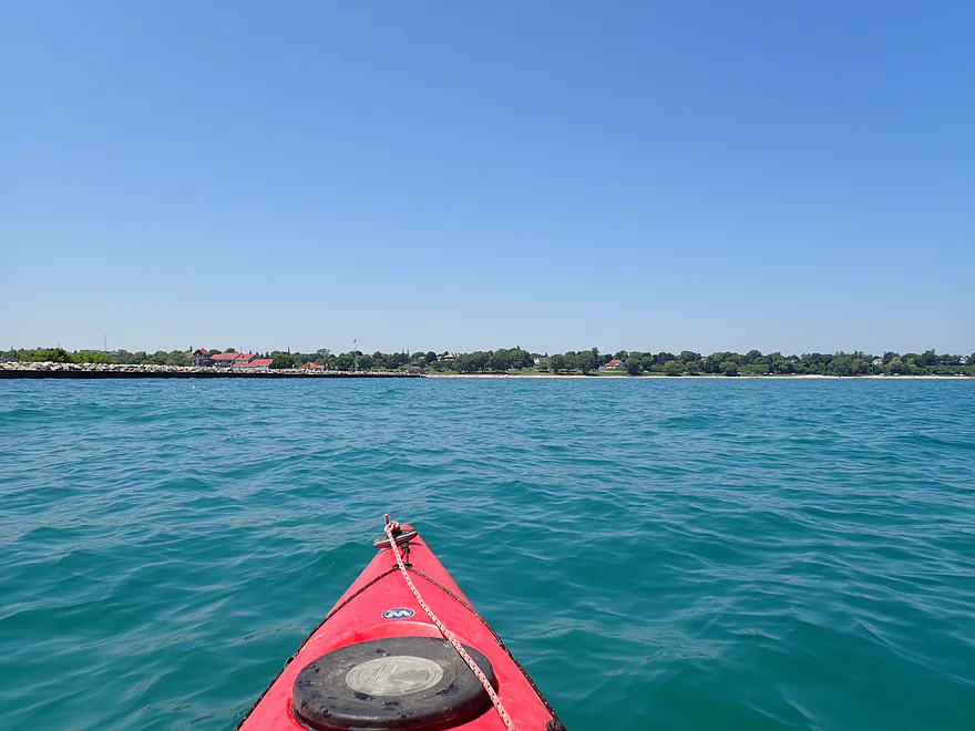
Can’t tell from the photos, but I faced rough waters
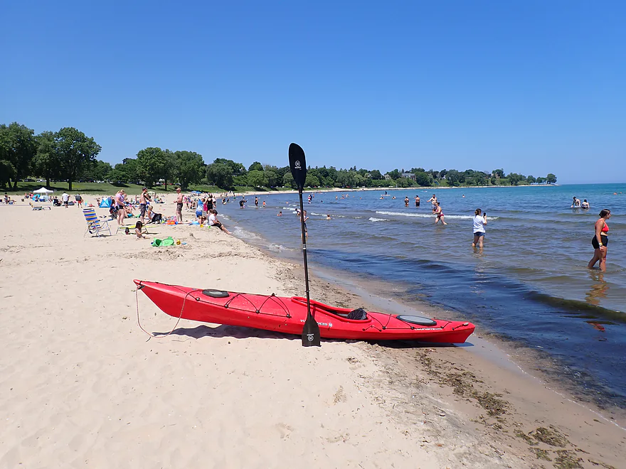
Taking out at the North Side Beach (north of the breakwall)
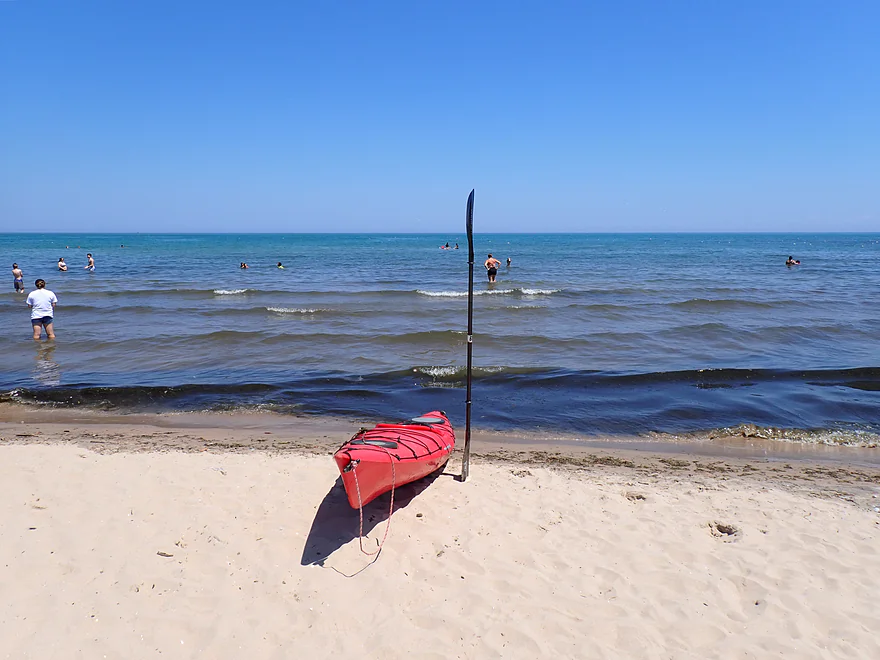
Waves are deceptively small at the beach
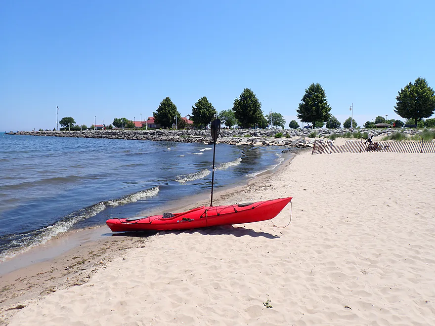
I cut south to the Deland Park parking area to get out
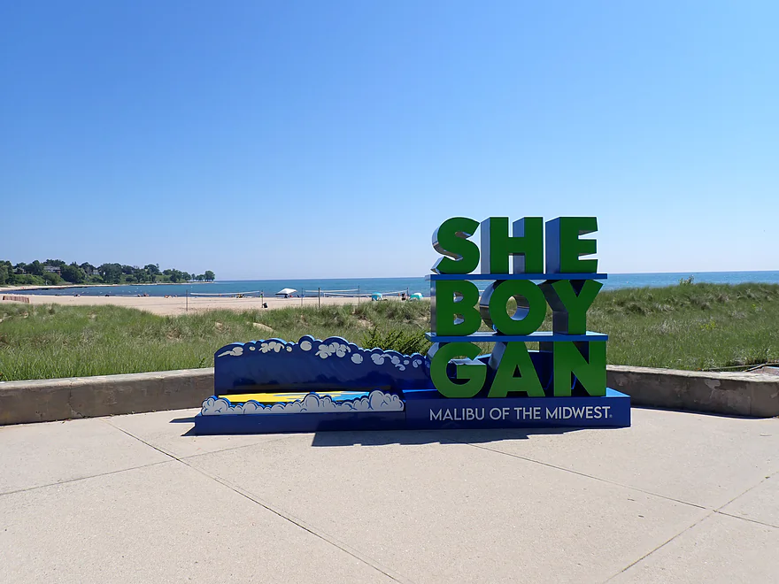
Sheboygan is very proud of their beach and surfing tradition
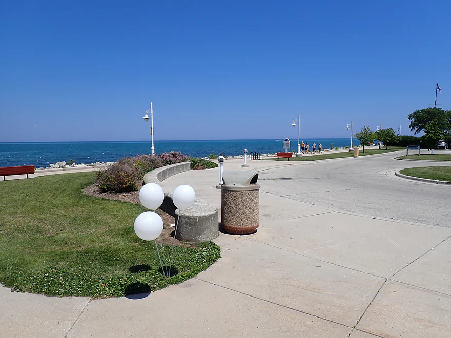
Exploring Deland Park
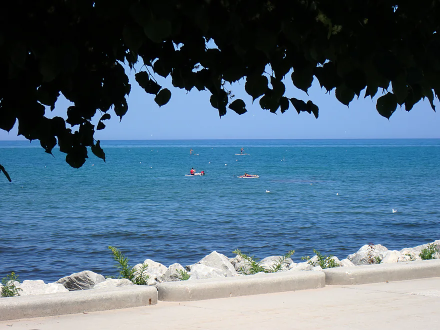
Five paddle boarders, but only two had life jackets (very dangerous)
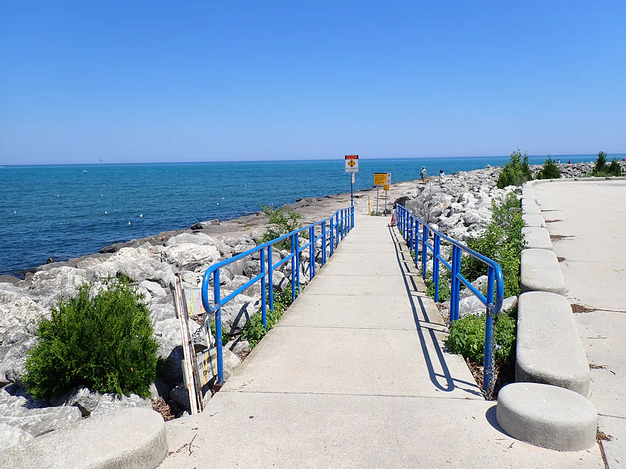
There is a great pedestrian path leading out to the breakwall
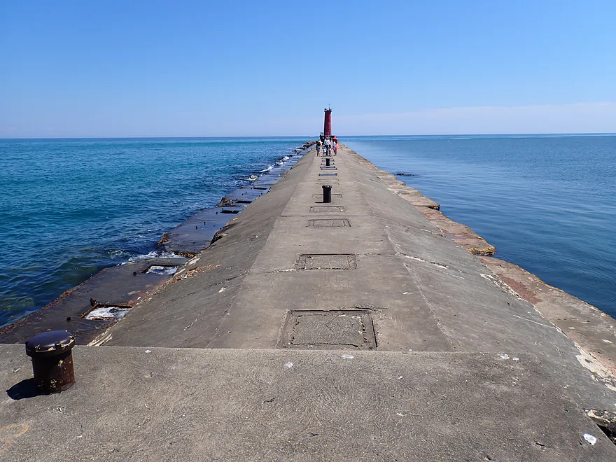
Breakwater on right, Lake Michigan on left
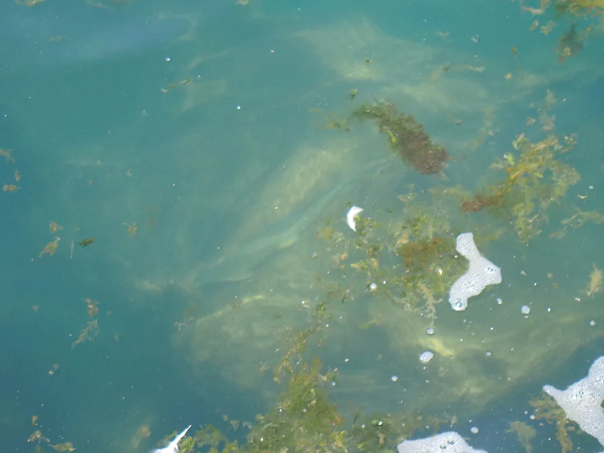
You could see large fish
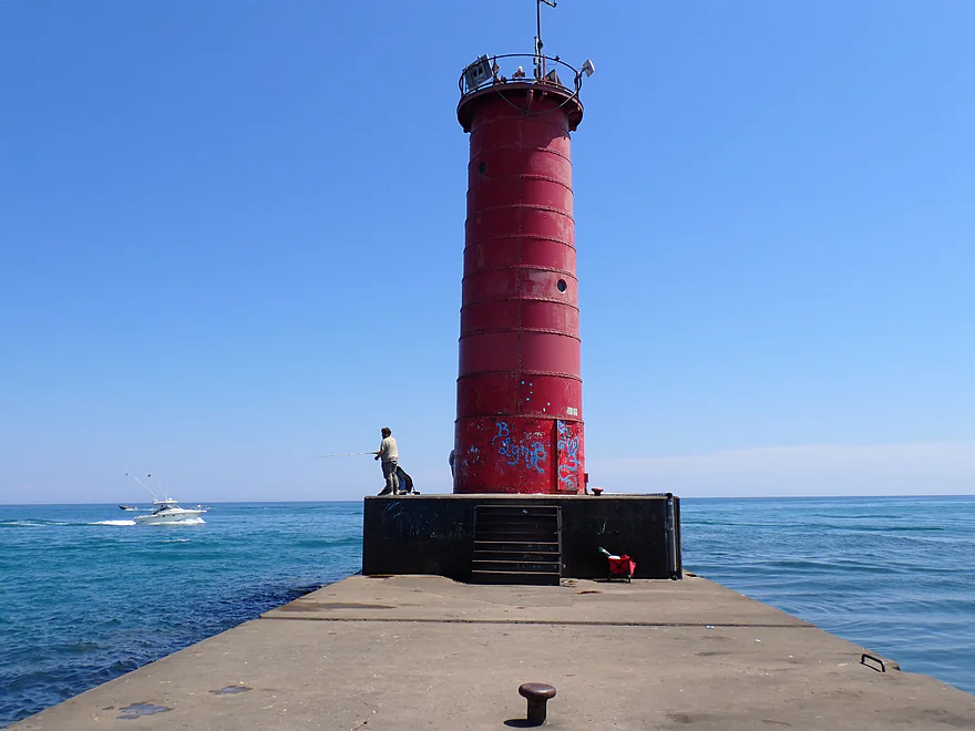
LIghthouse was very popular
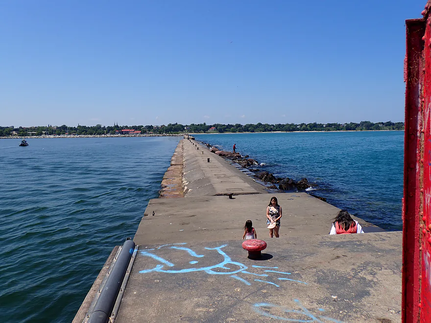
Heading back…the breakwall is about a half-mile long
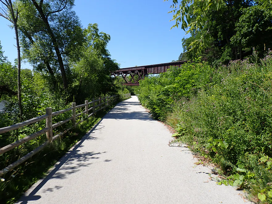
Scenic bike shuttle


Sheboygan River – Mouth


This week I’m exploring the final three miles of the Sheboygan River before it empties into Lake Michigan. The trip started at Esslingen Park (where my 2021 Kohler trip left off). It is a great paddling access and featured clear, rocky water and a few light rapids.
That lively start was deceptive though. Past the first bend, the river deepened and slowed to a near-halt, and stayed that way for the rest of the trip. Part of this is natural. Despite being three miles upstream from the mouth, Lake Michigan backs up the channel to create a freshwater estuary, also known as a ‘drowned river mouth.’ But part is manmade, as dredging has deepened the channel and slowed the current. This includes a massive 2012 cleanup that removed 24,000 cubic yards of sediment to clear out decades’ worth of industrial PCBs, PAHs, heavy metals, and raw sewage.
Unfortunately, once the current died, so did the water clarity. The channel turned brown, turbid, and contained floating sediment… yum. I don’t mind paddling slow, dirty waters if the shoreside scenery is good, but the banks were mostly messy weed trees, some industry, and disorganized developments. There were some nice parts, including local parks and impressive bridges—especially the historic railroad trestles (massive iron behemoths mounted on large stone pillars). I saw a handful of kayakers paddling upstream against the “current” and suspect many locals do up-and-back round trips.
Past 14th Street, the river turned sharply south, and the shoreline took on a more urban, industrial vibe. Large recreational boats, mostly fishing trawlers, packed the shore, using the river like a parking lot. There were some beat-up buildings and old remnants of industry, but also signs of revitalization. A prime example was the massive and historic Garton Toy Factory, which has been converted into an active apartment building.
I had hoped to see the 8th Street drawbridge open and close, but unfortunately it stayed closed while I passed through. Just downstream was the Riverfront Boardwalk and the historic Fish Shanty Village. Decades ago, Dutch and Norwegian immigrants built these fishing houses to process their catches. Today, these narrow-lot, wood-sided buildings have been repurposed into boutique shops and restaurants along a pedestrian-friendly boardwalk.
It’s a minor miracle this type of small-lot cottage is even allowed to exist anymore, as modern fire codes, parking requirements, and zoning laws typically force waterfronts into sprawling, inefficient messes. But right as I was admiring this use of waterfront space, I passed a lakefront mini-golf course. Rising behind it was the massive Blue Harbor Resort, a striking, red-and-white Victorian property with unique turret roofs.
I then entered the breakwater. To the north was the inner breakwater and harbor, where paddlers can take out at the main boat ramp. That was my backup plan, but I had scouted the lake during my earlier bike shuttle and checked the wave forecasts, which called for waves under a foot. Instead of heading into the inner harbor, I decided to exit the main breakwater, wrap around the breakwall, and take out at North Side Beach—one of the nicer beaches on the Great Lakes.
Exiting the breakwater past the historic lighthouse (with tourists crawling all over it), I immediately realized the forecast was flat-out wrong. The lake was far stronger than predicted, churned up by recreational boats accelerating into the open water and a subtle north-to-south wind. Ironically, the Sheboygan County Sheriff’s safety patrol boat created the most unsafe wake. Compounding the issue, waves were rebounding off the North Breakwater Pier, generating “clapotis” (confused seas).
I’ve dealt with perhaps taller waves before, but what made these particularly difficult was their erratic, unpredictable choppiness while coming from multiple directions. I was honestly a bit rattled (literally). Veering away from the wall and getting closer to the beach offered some relief, but the water stayed choppy. It was quite the contrast passing bodyboarders—most without life jackets—paddling the opposite direction out into the open lake hoping for bigger swells, while I was beelining it to get out.
North Side Beach is famous as a surfing destination…locals even dub it the “Malibu of the Midwest” and the “Freshwater Surf Capital of the World.” Some kayakers even join in on the surfing (video). Many surfers will actually walk out onto the pier and surf back to the beach, but I consider this incredibly dangerous due to the highly unpredictable waves and strong rip currents, which are worst by the breakwall. Interestingly enough, most of the surfing here actually happens in the winter, when the waves are much larger and more predictable (video).
Other than the unpleasant surprise with the waves, the North Side Beach area was really nice. The water was a beautiful clear blue, and you could see large fish right at the bottom. The beach itself was clean and popular, with public parking nearby. Locals refer to the bay here as Sheboygan Reef—a not entirely inaccurate term, as 400 million years ago this was an actual fossilized prehistoric ocean reef.
But regardless, it was a mistake to kayak this area. I should have realized that near-shore wave forecasts could be so wrong (to be fair, the open lake forecast accurately predicted waves up to three feet) or that conditions could change so suddenly after being perfect just a few hours earlier. I consider paddling outside the breakwater, even in “good conditions,” a major mistake that I’ll never repeat again.
In summary, this was a bit of a disappointing trip. When you think of kayaking the Sheboygan River, you envision clear, rocky water, not overly deep, and featuring some of the better fall river color in the state. But I really didn’t experience any of these. Some of the downtown maritime scenery was cool, but there wasn’t much beyond that. I think locals might enjoy doing simple round trips…but for most other kayakers I suggest focusing on other sections of the river, like my personal favorite stretch by Kohler. I happened to bump into another paddler at Esslingen who mentioned he really enjoyed that stretch.
Sights included ducks and some belligerent geese on my bike shuttle who blocked my path and hissed at me. Seagulls were common, and I occasionally saw fish splashing near the surface. Every now and then, something large and unknown would thump the bottom of my boat. While I didn’t see them on this trip, the Sheboygan River is famous in the fall for its spectacular salmon run.
Fish Shanty Village: This charming stretch of the river features narrow, wood-sided, brightly painted historic fishing shanties that have been repurposed into boutique shops and restaurants. A riverfront boardwalk connects the shops and is a popular tourist attraction.
North Pier and Lighthouse: This is a half-mile-long breakwall that ends at a historic lighthouse. There is a public path on top and locals enjoy walking out to the end to hang out by the lighthouse. Fishermen also frequent the breakwall and surfers sometimes use it as a launch point (which is dangerous).
Stefano’s Slo Food Market: Basically, it’s an Italian café/bakery/niche-natural grocery store hybrid that’s really good. Their rhubarb muffin was one of the best muffins I’ve ever had.
Esslingen Park: This is a very good public access. Only downside is you do have to drag your boat 200′ from the parking lot over grass to reach the water.
Alternate Put-ins:
- River Wildlife (4 miles upstream from Esslingen). This is a private canoe landing that requires permission from River Wildlife (an exclusive nature resort) to use. For most this will NOT be a practical option.
- Rochester Park (9.8 miles upstream from Esslingen). This is a terrific stretch of the river (my favorite), but it might be too long to add on to a mouth trip.
North Side Municipal Beach: While it’s a beautiful beach, I ultimately cannot recommend taking out here. The waves are simply too unpredictable, even in seemingly “good” conditions. If you do use it, parking is available on the street (400 feet to the west) or at Deland Park (450 feet to the south, though this requires some awkward boulder-hopping with your gear).
Alternate Take-outs:
- Broughton Drive Ramp (1.3 miles upstream from North Side Municipal Beach). This is where I should have taken out. It’s the city’s main marina boat launch and sits safely behind both the inner and outer breakwaters. Note: An $8 daily launch pass is required for motorized boats, though you can usually launch or land a kayak for free from the shoreline adjacent to the ramp (don’t quote me on this).
- 8th Street Ramp (0.7 miles upstream from the breakwater). This is a good public launch option. I believe kayakers don’t have to pay the $8 launch fee, but parking could be tight.
- Kiwanis Park (1.9 miles upstream from the breakwater). This is the best and most relaxed launch point on the river, and what most local paddlers choose. However, it’s more suited for round-trips, since it’s otherwise situated halfway between Esslingen and the mouth.
- Other Access Options: See overview map.
Bike Shuttle – North Side Beach to Esslingen Park: 3.9 miles with 131′ of ascent. This was a mix of downtown urban biking with traffic and some busy intersections to deal with…but also some nice riverfront biking with terrific bike trails and views of the river. Shuttlers should try to stay north of the river where there are the best bike trails.
Rentals:
- Wandering Kayaker: I think their rentals are usually part of a larger tour package, but if that is your thing they do offer trips on the Sheboygan.
- EOS Surf Shop: They have a kayak rental location at the 8th Street ramp . If you’re into surfing/bodyboarding they have rentals for that too at Deland Park.
Logjams/Dams/Low Bridges/Strainers: None.
Current: Outside of a short few-hundred-foot stretch at the put-in, there was no practical current.
Waves (Sheboygan River): Practically none. Despite a number of rec boats, the river proper is well protected by no-wake zones and a breakwater.
Waves (Lake Michigan): Only applicable if you venture out onto the lake (not recommended). Waves can be strong, unpredictable and poorly forecasted. The bay east of North Side Beach can be especially dangerous due to the waves bouncing off the breakwalls and the incoming waves interacting with the rip currents. IMO Lake Michigan kayaking (outside breakwaters) is actually more dangerous (deceptively) than Lake Superior and is only suited for very advanced paddlers with well equipped boats and training. If you absolutely must paddle the open waters, monitor the wave and wind forecasts and try to set your alarm clock for a super early trip so you can be off the water before 11:00 am. Additional resources:
- Nearshore Wave Forecast: This inaccurately predicted waves of 1′ or less, while in reality, I did face a few waves over 3′. Regardless, keep an eye on this.
- Open Lake Forecast: This IMO more accurately predicted the conditions I actually faced (waves 1-3′).
- Northside Beach Webcam: This is a fantastic webcam that rotates from the lighthouse to the beach with views of current conditions. However the roughest stretches (by the lighthouse and closest to the breakwall) are poorly pictured. In general cameras tend to flatten/understate wave strength.
- Aug 2020 Incident: A kayaker capsized and drowned in Sheboygan Reef. Waves were very high that day and he was likely trying to kayak surf them. This is dangerous as Lake Michigan waves are more erratic and less predictable than ocean waves.
Broaching: This deserves its own section. It’s basically where a wave catches your boat from behind. Because the top of the wave moves faster than the bottom, it can “kick” the back of your boat sideways which could, in turn lead to a capsize. Sea kayaks are, ironically enough, more in danger of broaching because they’re longer and the bow will dig deeper into the slower troughs. Serious sea kayakers will use skegs, rudders, and bracing techniques to counteract broaching.
North Beach Swimming: This can be a refreshing option after a trip, and the beach is a popular swimming spot, but it is deceptively dangerous.
- E. Coli: While way cleaner and nicer than, say, the Milwaukee beaches, E. coli is still an issue. Local officials monitor this and will post warning signs on the beach: green is good, yellow is caution, and red is closed.
- Water temperature: Close to shore it was surprisingly warm, but further out the temperature drops suddenly. You can monitor the temperature here (it was 66°F for my trip). Most surfers will wear some type of thermal protection even in July.
- Rip currents: Dangerous rip currents form along the beach, especially close to the breakwall. Local signs warn against swimming near the breakwall.
- Life Jackets: I was shocked to see bodyboarders well away from the shore without life jackets. Because of the unpredictable waves and currents, this might actually be one of the few swimming beaches where you’ll want to wear a jacket. Sheboygan Reef is one of those bays that looks deceptively tame from the beach.
- Lighthouse Pier: Some daredevils jump off the pier here, but this is, again, the most dangerous part of the bay, featuring the worst currents, the worst waves, and water temperatures far below those near the beach.
- Buoyancy: You’re actually 2.5% less buoyant in Lake Michigan than in the ocean. This can be the difference between comfortably lying on your back versus having to tilt your head up just to keep your mouth above water.
Not applicable. Because Lake Michigan acts like a natural dam for the lower river, the depth remains largely unchanged and perfectly navigable in both high and low water.
Detailed Overview
Thanks to Mike Svob, author of "Paddling Southern Wisconsin", for much of this information.
- Upstream of Hwy CCC: River looks too small and channelized to be interesting.
- Hwy CCC to Palm Tree Road landing: 3.17 miles. Interesting creek prospect with a mix of wetlands and woods. Part of a State Natural Area with a cool bridge. Warning: the weeds in late summer can make navigation difficult. A group got lost here and had to call 911.
- Palm Tree Road to Sheboygan Marsh Tower: 8.8 miles. The heart of the Sheboygan Marsh and probably similar to Horicon Marsh. Some flowage paddling and channelized sections.
- Sheboygan Marsh Tower to Hwy MM: 1.1 Miles. Probably nice, but with logjams and a possible fish barrier. Am not 100% sure that Hwy MM is ok for public access.
- Hwy MM to Kiel (8th St.): 5.9 miles. First 1.3 miles is mostly wooded and probably nice, with perhaps a few jams. Then it is open marsh to Kiel.
- Kiel (8th St. landing) to Kiel (Rockville Road landing): 2 miles. Seemingly pleasant urban paddle, but a dam and two flowages to contend with.
- Kiel (Rockville Road) to Steinthal Road/Dam: 0.7 miles. Very big flowage...looks boring.
- Steinthal Road/Dam to Rockville Road: 1.2 miles. Looks like a pleasant wooded section with maybe one logjam.
- Rockville Road to Millhouse (Gierke Road/Dam): 2.5 miles. Mostly minor flowage paddling.
- Millhouse Dam to Hwy FF: 5 miles and a good prospect. Dam might not be a good put-in though. Hwy 57 is a half-mile downstream and a good backup plan.
- Hwy FF to Johnsonville Dam: 5 miles and also a good prospect. Be careful of the dam in high water.
- Johnsonville to Dassow Park: 6.4 miles. A good stretch. Hwy J and Hwy M are alternate launch options.
- Dassow Park to Hwy TT: 5 miles and a good prospect.
- Hwy TT to Hwy C: 3 miles and also seems good.
- Hwy C to Settlers Park (by the dam): 2.8 miles. A mediocre urban paddle through the city of Sheboygan Falls.
- Settlers Park to Sheboygan Falls View Park: 0.3 miles. A scenic but dangerous section with strong whitewater. Americanwhitewater.org has a nice review.
- Sheboygan Falls View Park to Rochester Park: 0.7 miles. A narrow wooded stretch with perhaps some Class 1 and even Class 2 rapids.
- Rochester Park to Esslingen Park: 9.5 miles. Despite being mostly a golf course paddle and needing to portage two dams, this is a really nice paddle. This trip is best timed in October when fall color can be quite good and you can see large salmon spawn.
- Esslingen Park to North Side Municipal Beach: 5.6 miles.
- Esslingen Park to Kiwanis Park: 2.1 miles. Slow current and uninteresting shore scenery make this IMO a somewhat boring stretch.
- Kiwanis park to Sheboygan Harbor Boat Ramp: 2.2 miles. Mix of urban and maritime scenery. There are some interesting sights, including the historic "Fish Shanty Village", but it's not IMO an elite stretch.
- Sheboygan Harbor Boat Ramp to Breakwater Mouth: 0.5 miles. This is the length of the breakwater and is fairly protected, but outside of the lighthouse isn't super interesting.
- Breakwater Mouth to North Side Municipal Beach: 0.8 miles. This connects the breakwater mouth to the public beach. Because this is on the open lake, it can be very rough (especially near the breakwater where tricky waves and currents form). For most paddlers this is NOT recommended.

Trip Map
Overview Map
Video
Photos Size:
How did your trip turn out? Questions or comments? Feel free to leave your feedback.
