
Flambeau River – North Fork


Author:
Peter
Date:
June 20th, 2026
Put-in:
Deadman’s Slough Landing
Take-out:
Dix Dox Landing
Distance:
6.7 Miles
Time:
3 hours
Water Level:
Flambeau River South Fork @ Bruce 6.44' or 1610 CFS
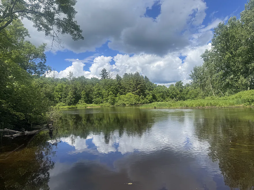
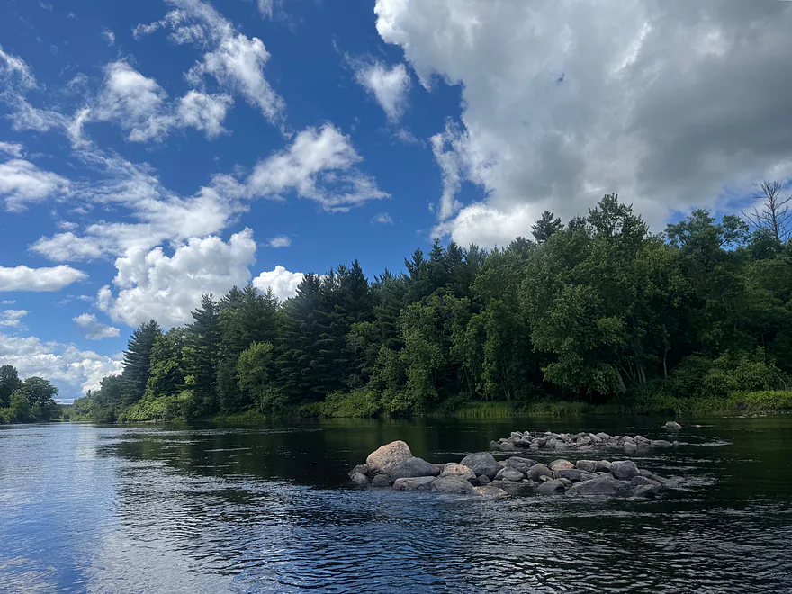
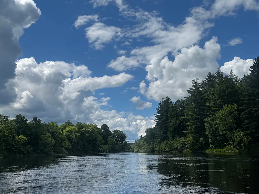
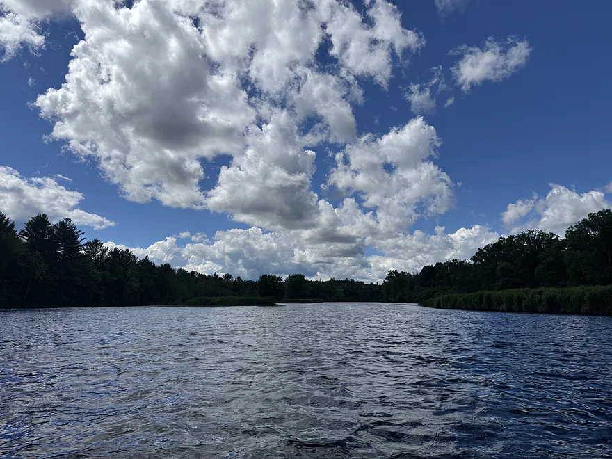
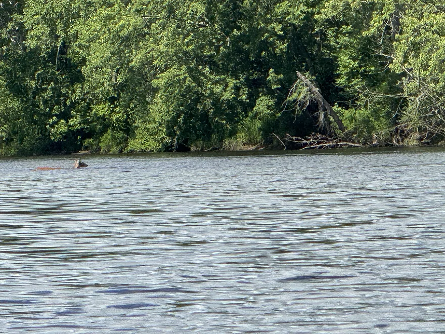
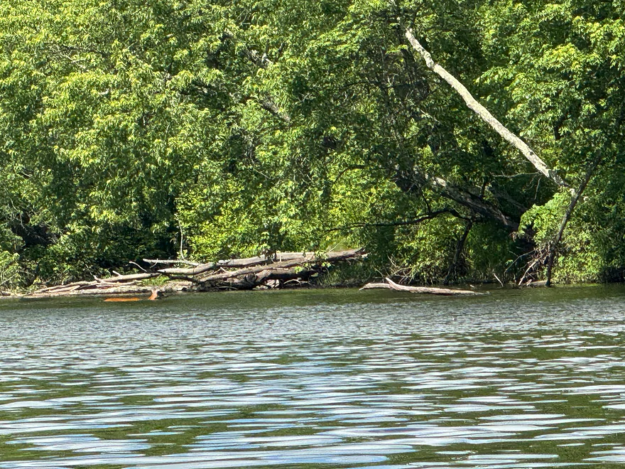
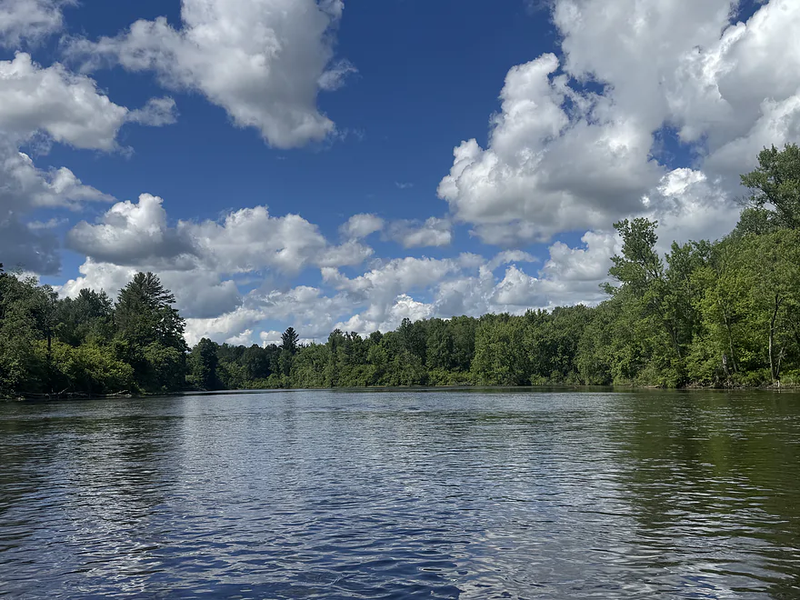
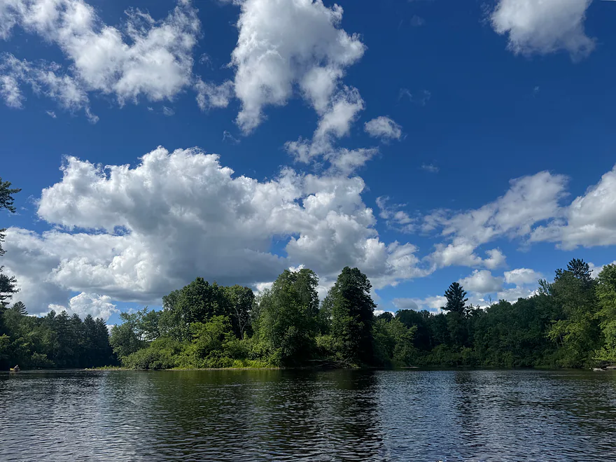
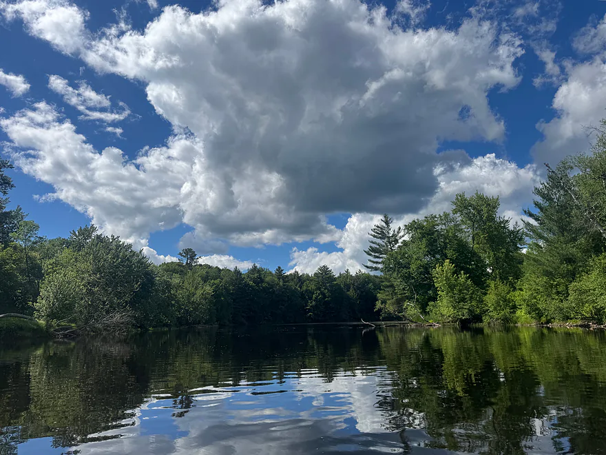
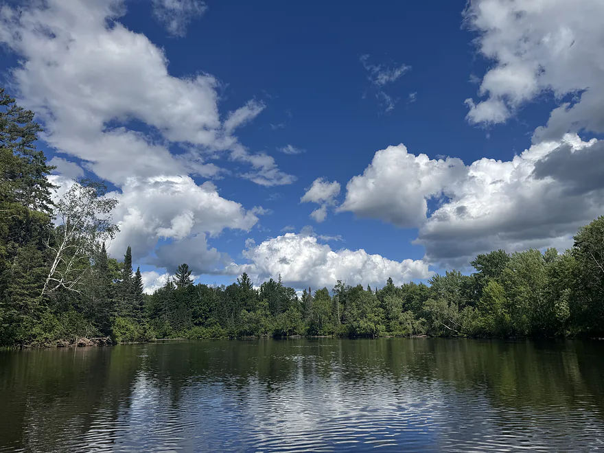
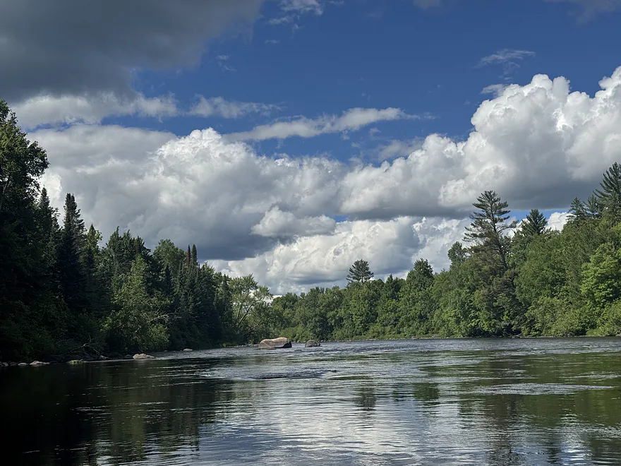
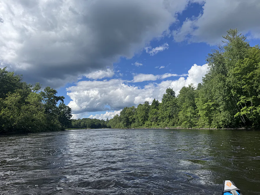
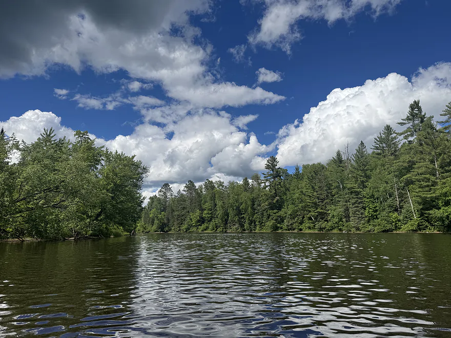
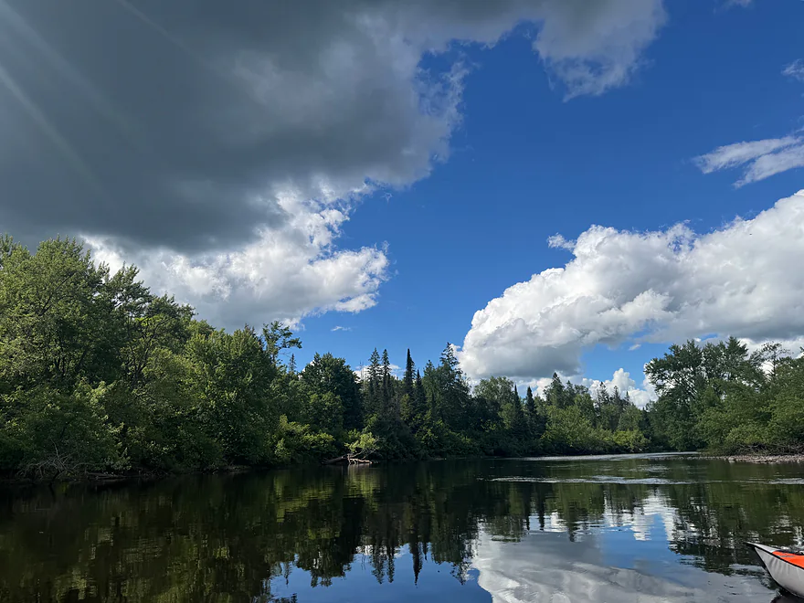
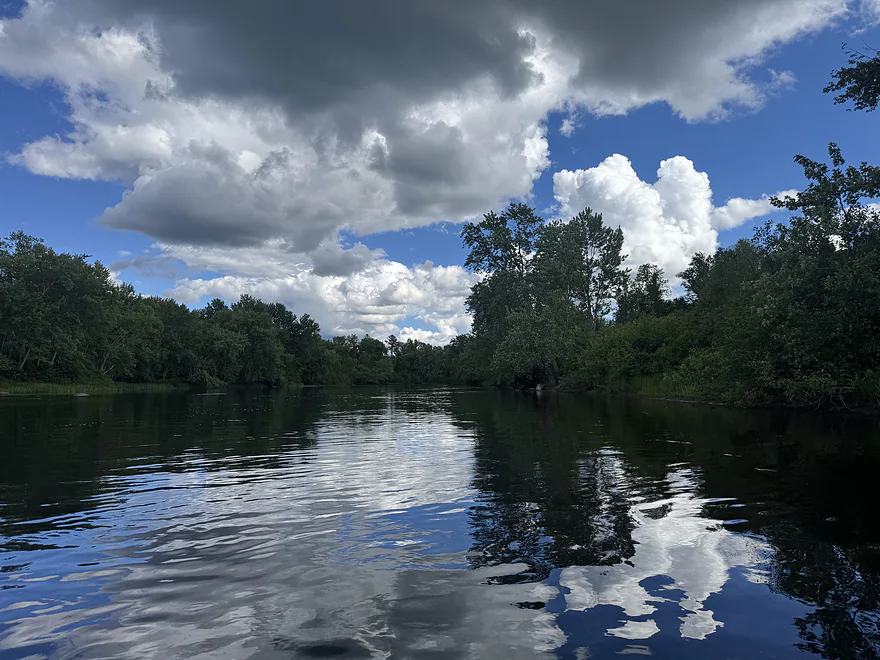
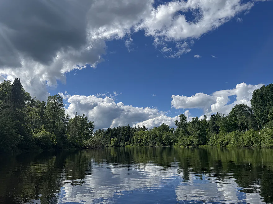
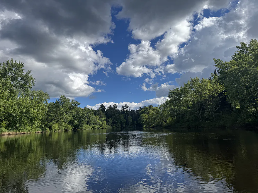
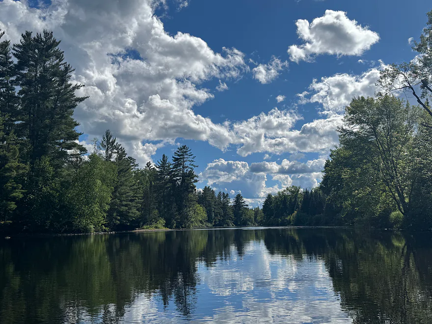
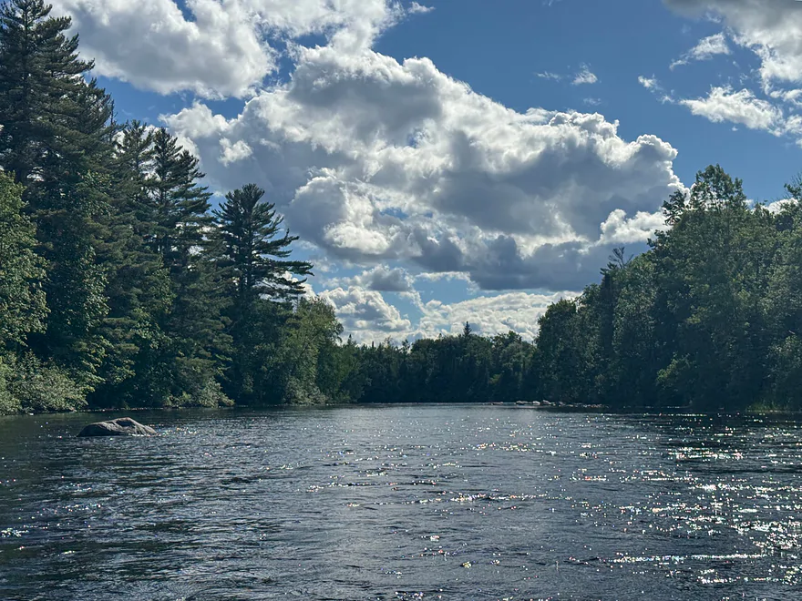
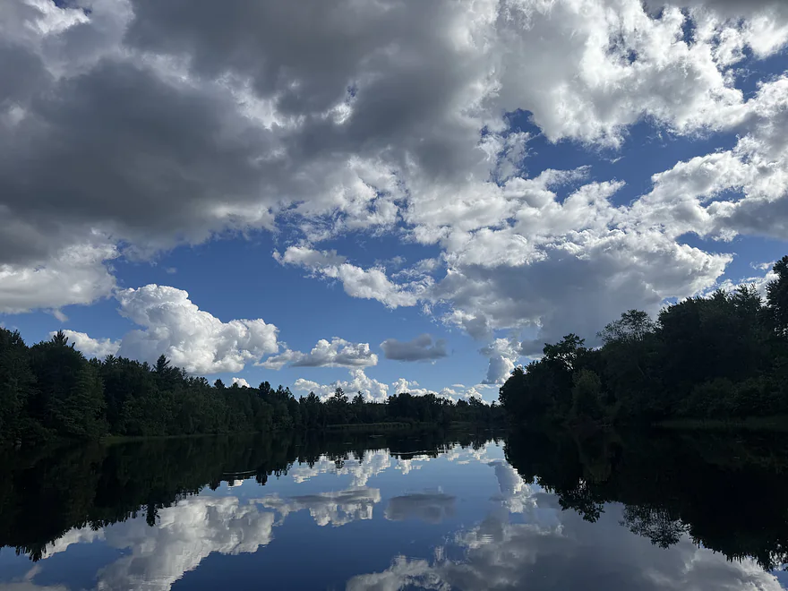
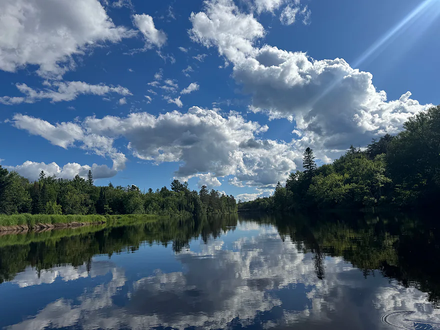
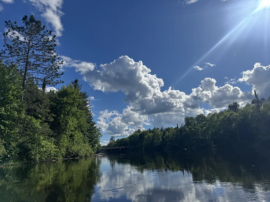
This stretch of the Flambeau River is great for any skill level. The river is calm with the occasional riffle with great depth and no log jams, which makes for a smooth and very scenic paddle. There’s no development along this stretch as it’s entirely part of the Flambeau River State Forest. There are campsites available for paddlers or for anyone that wants to take a break. In areas where the water is calm, the Northwoods scenery beautifully reflects off of the water.
Thank you Peter for the review! WisconsinRiverTrips.com is always very appreciative of guest reviews, and if you, the reader, is ever interested in submitting one, you can use this online form.
North Fork:
- Upstream of Sportsman Landing: Upstream of the dam is the Turtle-Flambeau Flowage which is quite huge. There are islands to explore and other adventures to be had on the flowage, but that will be outside of the scope of this review.
- Sportsman Landing to Robinson Landing: 2.1 miles. Some open water flowage paddling and a dam portage. You might be able to put in by the dam.
- Robinson Landing to Holts Landing: 10.7 miles. Maybe 3 Class 2’s. Notch Rock Rapids might be Class 3 in high water.
- Holts Landing to Agenda Landing: 4.0 miles. Maybe 5 Class 2’s.
- Agenda Landing to Blanchard’s Landing: 2.7 miles. No major rapids. There are alternate access points on Flambeau River Road.
- Blanchard’s Landing to Hines Park: 1.4 miles. Mostly flowage paddling. May not be interesting.
- Hines Park to Park Falls Boat Ramp: 2.6 miles. The west channel is a millrace for a paper mill…and likely not navigable. The east channel below the dam appears to contain many Class 1-2 rapids at low levels. These are likely much stronger at high water levels.
- Park Falls Boat Ramp to Hwy B: 1.7 miles. There may be turbulent rapids directly below the dam, but after that it should be mostly just Class 1’s.
- Hwy B to Pixley Dam Park: 3.2 miles. This is part of the Pixley Flowage and may not be as interesting.
- Pixley Dam Park to Six Mile Landing: 3.4 miles. I don’t think there are any noteworthy rapids on this stretch.
- Six Mile Landing to Nine Mile Landing: 4.0 miles. Half of this is on the Crowley Flowage. After portaging the dam, the second half of the trip should be nice.
- Nine Mile Landing to Deadman Slough Landing: 5.7 miles. I don’t think there are any major rapids.
- Deadman Slough Landing to Dix Dox Landing: 6.5 miles. A relatively calm and peaceful stretch with only minor rapids well suited for beginner paddlers.
- Dix Dox Landing to Hwy W – Canoe Landing: 11.0 miles. I don’t think there are any major rapids.
- Hwy W to Camp 41 Canoe Landing: 8.8 miles. Maybe 3 Class 2’s near the end.
- Camp 41 Landing to North Fork/South Fork Confluence: 4.0 miles. Maybe 3 Class 2’s.
Main Branch (After Confluence):
- North Fork/South Fork Confluence to Hervas Landing: 2.2 miles. Mostly a peaceful stretch.
- Hervas Landing to Beaver Dam Landing: 4.9 miles. Four Class 2’s and one Class 3.
- Beaver Dam Landing to Flambeau Lodge Landing: 5.0 miles. Some flowage paddling…might not be as interesting.
- Downstream of Flambeau Lodge Landing: There is more paddling to be had…but the river after this suffers from a series of dams and flowages and likely isn’t as interesting.
South Branch:
- Upstream of Round Lake: There are likely other good water trails in the region…they just won’t be included in this overview.
- Round Lake to Hwy 144: 3.4 miles. More of a creek than a river. One dam to portage.
- Hwy 144 to Smith Rapids Landing: 5.9 miles. Kind of a marshy section. The covered bridge at the take-out is scenic.
- Smith Rapids Landing to Cedar Rapids Road: 5.2 miles. More marshy paddling but nice. Cedar Rapids by the take-out is Class 1-2.
- Cedar Rapids Road to East Road/1132: 4.0 miles. Two Class 3 rapids.
- East Road/1132 to Woody Road: 8.0 miles. Several intermediate access options. A handful of rapids…most I don’t think are serious.
- Woody Road to Hwy 70: 8.5 miles. Divine Rapids is a Class 3.
- Hwy 70 to Fifield Memorial Park/Wayside: 2.2 miles. I don’t think this stretch has rapids.
- Fifield Memorial Park/Wayside to Rocky Carry Park: 10.3 miles. I don’t know much about this stretch.
- Rocky Carry Park to Hwy F: 1.1 miles. Mostly flatwater paddling.
- Hwy F to Niebauer Springs Landing: 3.1 miles. One set of Class 2 rapids.
- Niebauer Springs Landing to Power Line Road: 3.0 miles. Three Class 2 rapids.
- Power Line Road to Hwy W: 3.7 miles. One set of Class 2 rapids.
- Hwy W to Hwy M: 7.7 miles. Seven Class 2’s and one Class 1. Some of the best whitewater of the river is on this stretch.
- Hwy M to Slough Gundy Access: 1.1 miles. One Class 3. There is also a Class 4 by the take-out.
- Slough Gundy Access to North Fork/South Fork Confluence: 5.3 miles. A Class 3 plus a Class 4 at the put-in.
Trip Map
Overview Map
Photos Size:
How did your trip turn out? Questions or comments? Feel free to leave your feedback.
SUBMIT COMMENT!
Be notified when future paddle reviews go live by subscribing!
