
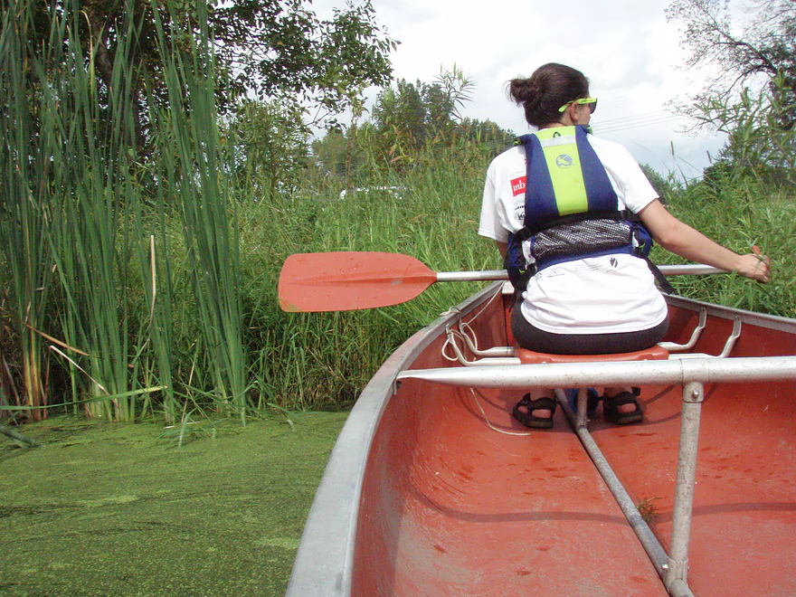
Pushing off from the put-in at Viking Park
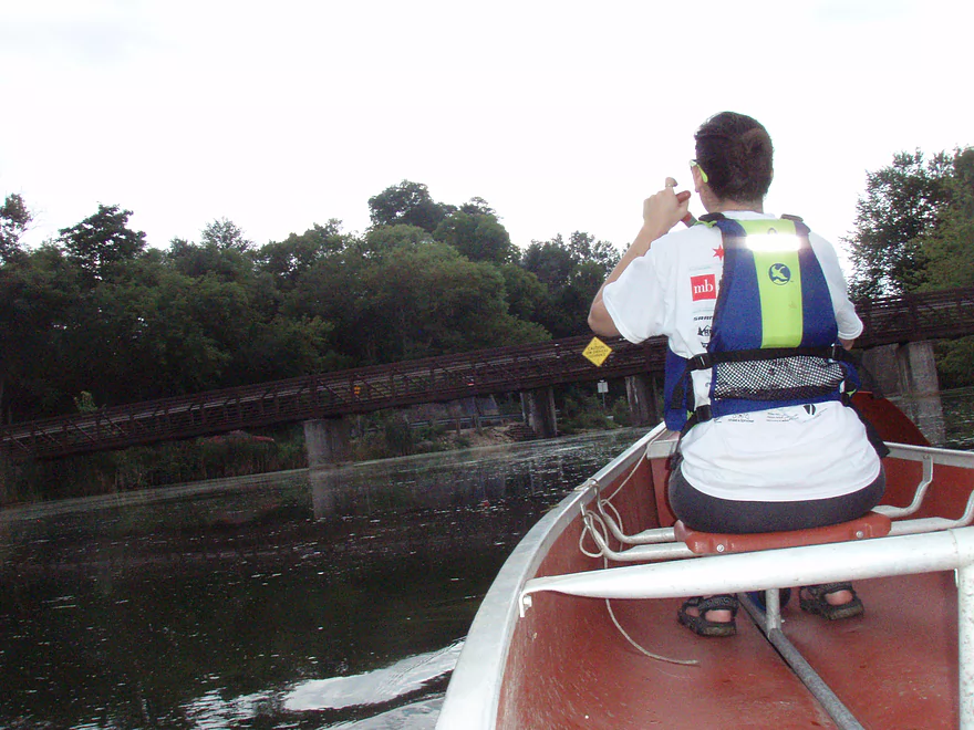
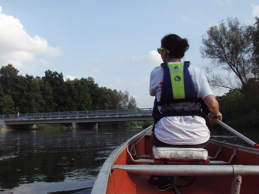
Pedestrian bridge over the Yahara River as one enters Stoughton
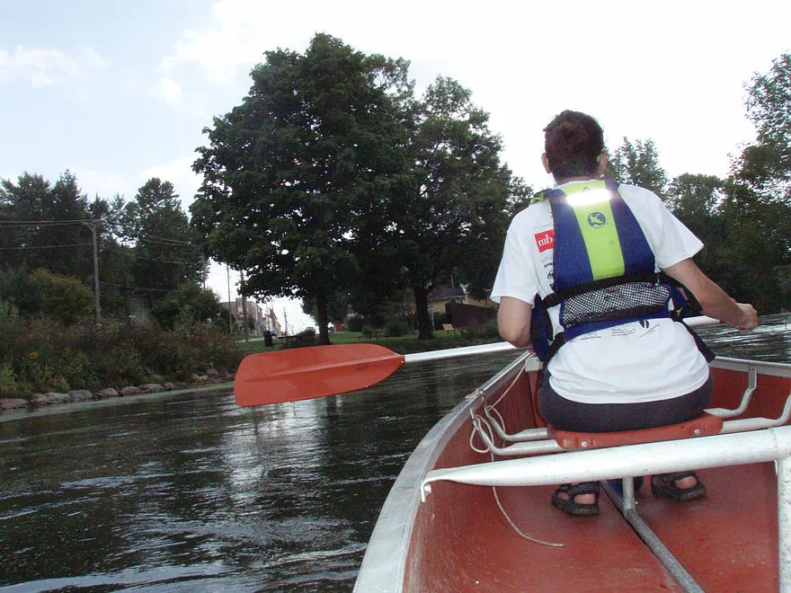
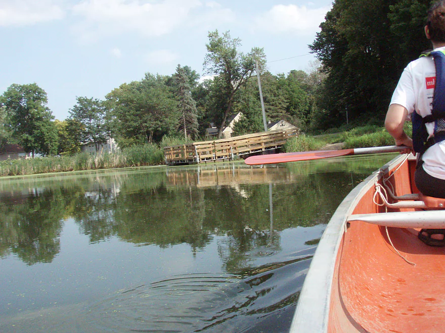
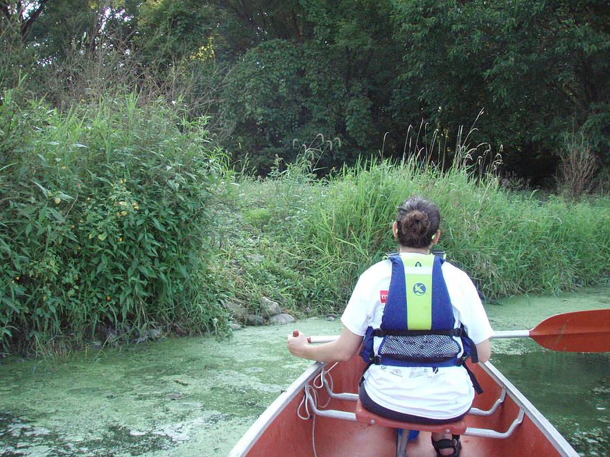
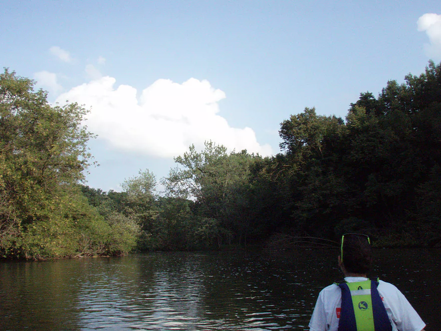
Canoeing through Stoughton
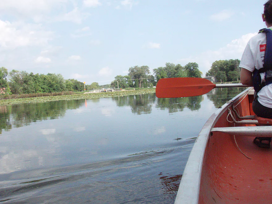
Stoughton Mill Pond, with the dam to the left
The take-out at Stoughton Mill Pond, to the right of the dock
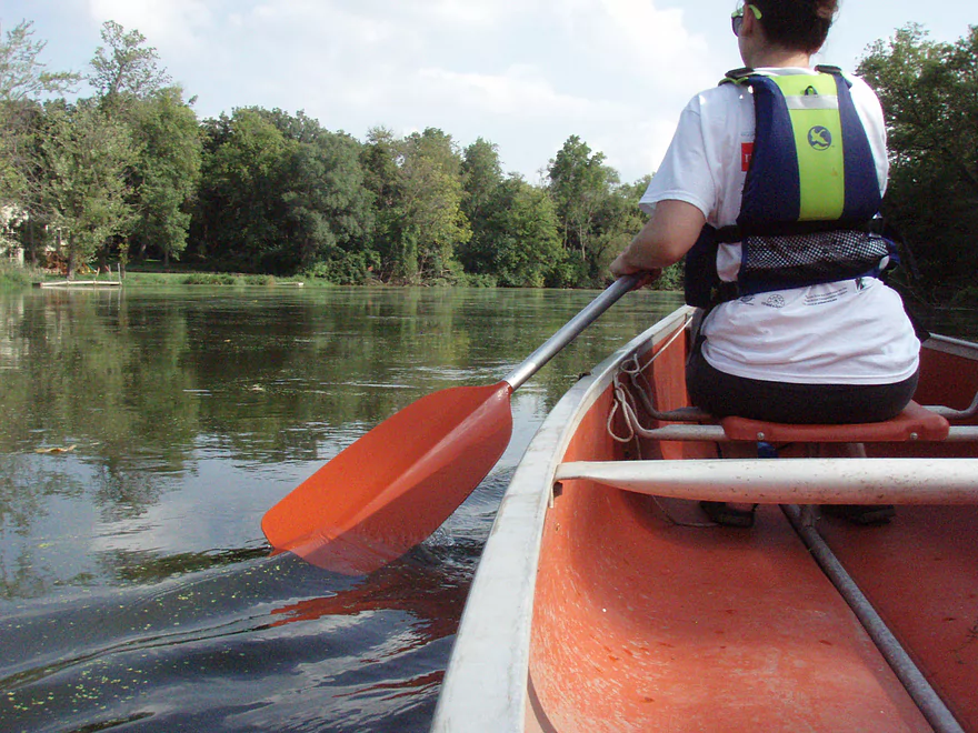
The put-in after the Stoughton Mill Pond Dam
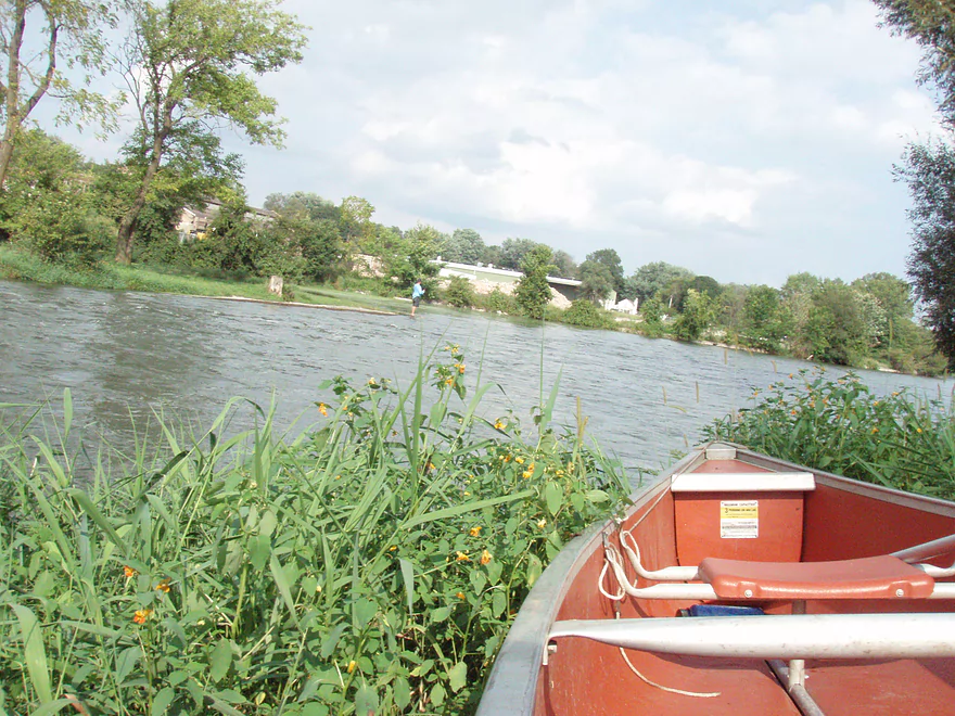
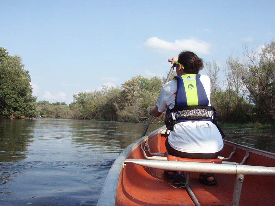
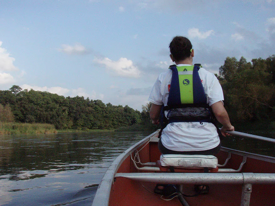
A representative picture of the Yahara River between Stoughton and Dunkirk
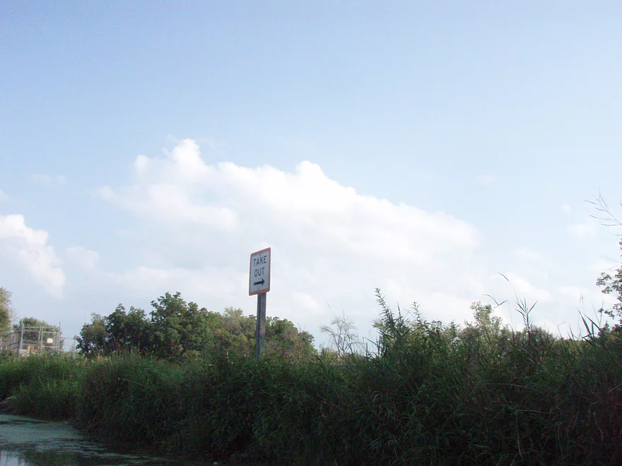
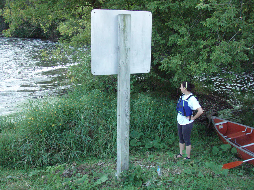
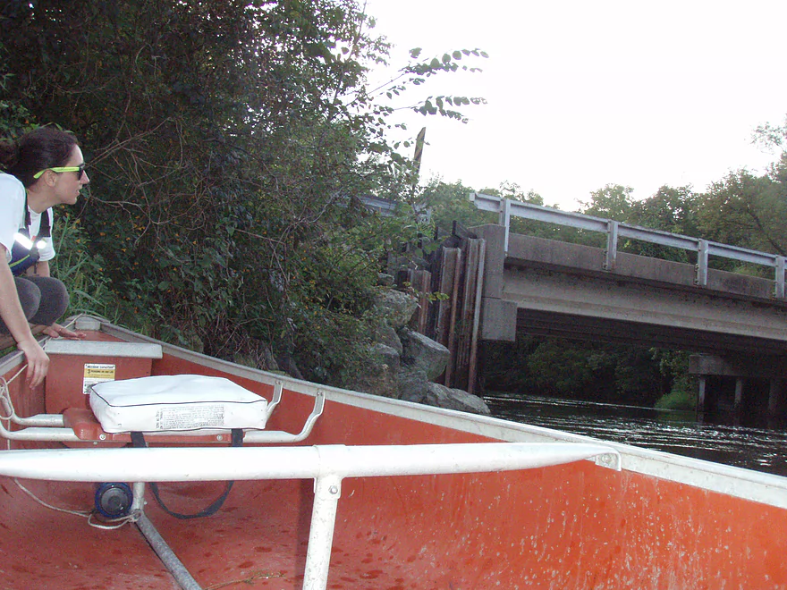
The take-out sign on the Dunkirk Dam
The take-out at the Dunkirk dam
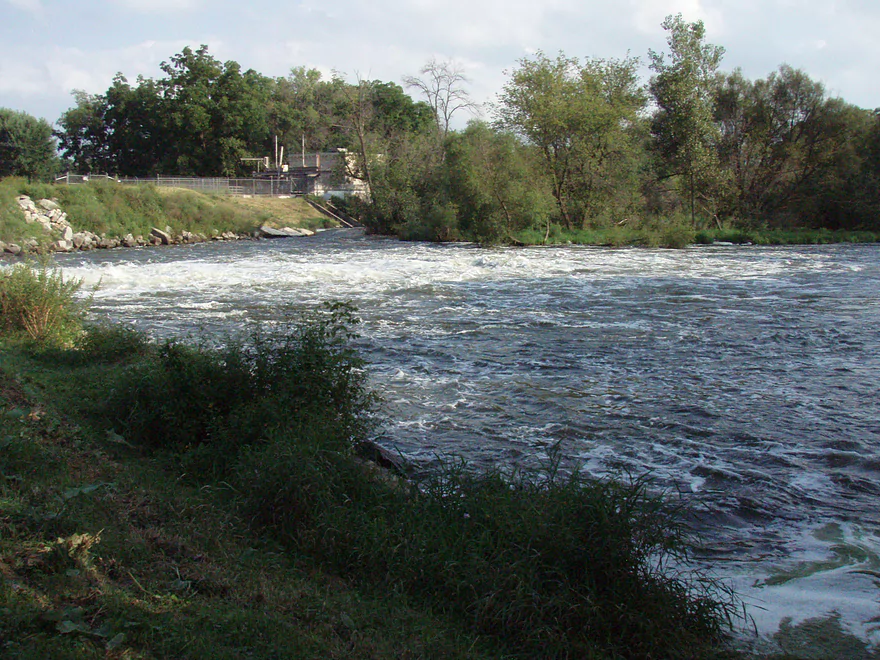
The roiling water downstream of the Dunkirk dam
Contemplating our route into the Dunkirk dam outlet. The calm put-in is to the right, which connects to the Yahara.
The Yahara River downstream of the Dunkirk dam
More “scenic” Yahara River
A low bridge for County Road N over the Yahara River after Dunkirk – a popular put-in
The take-out at Stebbinsville Dam Road
Yahara River: Viking Park to Stebbinsville Dam Road


We put in at Stoughton’s Viking Park next to the parking lot where most people stop to go to the dog park. The bank was about 1.5′ above the water level and easy to slide our canoe in (17′ plastic tub, nothing fancy). It was a sunny day and the algae and duckweed were in full bloom, making us feel like we were paddling over a verdant cropped meadow instead of skimming through high levels of e coli and agricultural run-off.
After leaving the stagnant canal next to the park heading south, we encountered the mighty Yahara River, whose current was so strong in this widened-out area that we could almost perceive it as we propelled ourselves along, trying to avoid shallows while holding our noses to avoid the unique fragrance of the river. The odor of this portion of the river could be compared favorably to our state’s prized dairy operations, and by favorably, I mean it is stronger.
We passed below a pedestrian and train bridge as we entered Stoughton proper and it was fun to paddle through a town with houses and buildings right down to the water’s edge — for all of five minutes. Then we came to the mill pond at the south end of town where the current faded again. We took the canoe out at a dock well away from the pond dam as I heard that a kayaker was sucked through the gates (and survived) not long ago. I also heard that the city is considering removing the dam and putting in a “whitewater kayak park”. At any rate, we portaged about 18 rods (ca. 100 ft) through a park and across a busy-ish street (it took about six cars passing before anyone stopped for the upside-down canoe with legs). We put in through some weeds and were again in the mighty Yahara river. By this time either the smell had dissipated or we had become used to it.
From Stoughton to Dunkirk was a pretty exciting paddle as long as you’re excited by weak current, a wide river, architecturally uninteresting houses, and forest and undergrowth that, while verdant, was not unlike any other place on more exciting rivers in the area.
And then we got to the Dunkirk Dam. The thoughtful folks in charge of this old pile of bricks put a sign for paddlers to “take out” their watercraft on the right wing of the earthen dam. We did so and pulled up the canoe on a steep-ish bank. On the other side, the dam was letting out a good amount of water creating two whirlpools of frothing water downstream. It was easy to let the canoe slide down 7 rods (ca. 40 ft) to a calm pool protected from the outlet’s churning by a spit of land. We got back in and paddled right for the center of the whirlpool, turning to the right as we entered, striving against the clockwise current until we were clear of the downed trees along the edge and able to fight our way into the main current and let it take us downstream. We certainly talked about what our plan was if we dumped, but it wasn’t needed. We managed it but your results may vary and I don’t recommend you try this (or anything, really). So when you invariably ignore my warning and dump, the judge will see my dire warning here and dismiss your lawsuit against me. So one should certainly avoid the only part of this paddle that gets your heart beating faster by portaging on the left side of the dam by the road, portaging 18 rods, and putting in down by the bridge.
From Dunkirk on, the next few miles are narrow with a few riffles and dead trees hanging over the water — one place had only a 6-ft opening to navigate between downed trees, and represented the only part of this trip that could be misconstrued as “technical” (excepting of course the aforementioned dam outlet, which you avoided on my good advice). As you approach the Stebbinsville Dam Road take-out, you’ll notice that this area used to be a dam reservoir: about 6–8 ft above the current river level is the evidence of the once-higher waterline, which serves as a point that one can use to bore his or her captive audience in an impromptu lecture about the recent geological, hydrological, and ecological changes occurring after a dam is removed.
The take-out at Stebbinsville Dam Road is fairly easy, aided by an eddy that is formed on the left just below the bridge footing. It flows back against the stream in a swirl larger than a canoe, helping you to not be swept downstream if the canoe is kept strictly parallel to the bank and paddled up smartly. It is a somewhat steep gradient to get out, but by this time, you’re ready to be done already and don’t care.
In summation, this is an excellent paddle if you want to have the river to yourself. It’d be great for a first date if you have significant body-odor issues and want to make them seem less significant by comparison. The e coli in the upper part of this paddle really incentivize one to avoid tipping, but luckily the lack of discernible current for the majority of this route make that pretty doable.
Thank you to S. Johnson for the review! Guest reviews are always welcome and readers can submit them here.
Detailed Overview
- Hwy 51 to E. Yahara Road: 1.4 miles. Very small and channelized, it seems open but there might be some snags here.
- Yahara Road to Veterans Park (DeForest): 1.6 miles. Very wooded so good chance of jams if not cleared out.
- Veterans Park to Windsor Road/Sunfish Pond: 5.7 miles. A small but fast stretch that has become popular in recent years.
- Windsor Road to Linden Drive/I90: 1.5 miles. An interesting section through a golf course. Linden Drive access is privately owned by the golf course.
- Linden Drive to Hwy 19: 1.3 miles. There are too many logjams to recommend this.
- Hwy 19 to Cherokee Park: 4.5 miles including 1.8 miles of lake paddling. There are too many logjams downstream of Hwy 19 to recommend that as a put-in.
- Cherokee Park to Tenney Park (aka Lake Mendota): 7.6 miles. A nice lake but really too big and exposed for most paddlers.
- Tenney Canal and Locks to Morrison Park: 1.3 miles. A fun experience. A canal fee might be required.
- Morrison Park to Paunack Park (Lake Monona): 2.6 miles. Mostly too big and busy to paddle, paddlers still do so and enjoy scenic vistas of the downtown.
- Paunack Park to Babcock Park (Lake Waubesa): 4.2 miles. Probably too much flatwater to be interesting.
- Babcock Park to Fish Camp Park (Mud Lake): 4.1 miles. Wide and flat. Probably uninteresting.
- Fish Camp Road to La Follette Park (Lake Kegonsa): 2.4 miles. Probably uninteresting lake paddling.
- La Follette Park to Viking County Park: 3.5 miles. Finally back to river paddling! An ok prospect, but slow and big.
- Viking County Park to Dunkirk/Hwy N1st Bridge: 5.2 miles.
- Viking County Park to Riverside Drive Park (Stoughton): 2.1 miles. A mix of slow marsh paddling and a short urban paddle through Stoughton.
- Riverside Drive Park to the Dunkirk Dam: 3.1 miles. The short stretch through Stoughton is nice, but must of this leg is a boring impoundment.
- Dunkirk/Hwy N1st Bridge to W. Stebbinsville Rd: 4.8 miles.
- Dunkirk to Hwy N2nd Bridge: 2.5 miles. A good stretch that starts a bit slow, but speeds up and contains a number of large scenic boulder gardens.
- Hwy N2nd Bridge to W. Stebbinsville Rd: 2.3 miles. A scenic rocky stretch flowing through glacial outwash.
- Stebbinsville Rd to Murwin Park: 6.2 miles.
- Stebbinsville Rd to Hwy 59: 2.1 miles. This is the last super stretch of the Lower Yahara. After Badfish Creek joins up, the river becomes much larger and less interesting.
- Hwy 59 to Murwin Park: 4.4 miles. While not as scenic as upstream legs, this is still a solid stretch and popular with paddlers.
- Murwin Park to the Rock River: 2.8 miles. Final stretch on the Yahara and then a short leg on the Rock River. Probably ok, but nothing special.
Many of Yahara's tributaries are navigable as well.
- Badfish Creek - A classic! One of the better paddles in Southern Wisconsin.
- Token Creek - A surprisingly nice creek located northeast of Madison.
- Nine Springs Creek - An underrated prospect located west of Lake Monona that has some attractive springs.
- Six Mile Creek
- Upper Six Mile Creek - Congested in spots, this is still a really neat paddle with character you don't expect from Southern Wisconsin.
- Lower Six Mile Creek - Recently cleared of logjams, this is a varied paddle that includes both dense woods and open marshland.
- Starkweather Creek - A slow urban paddle, but interesting because of its bridges and Olbrich Gardens.
- Pheasant Branch Creek - Located northwest of Madison, this is a short trip but has some spectacular springs.
- Wingra Creek - A short urban paddle west of the Isthmus that might be fun.
- Dorn Creek - A possible prospect west of Madison that would require a lot of water.
- Seven Mile Creek - West of Lake Monona, I've heard this is a pleasant paddle.
- Swan Creek - Possible prospect but short (south of Lake Waubesa)
- Murphy Creek - Interesting wetland prospect but access on the upstream sections looks tricky (south of Lake Waubesa)
- Door Creek - Small, slow and channelized but might be ok. Has had recent cleanup work on it from I believe Hwy MN.
Trip Map
Overview Map
Photos Size: