
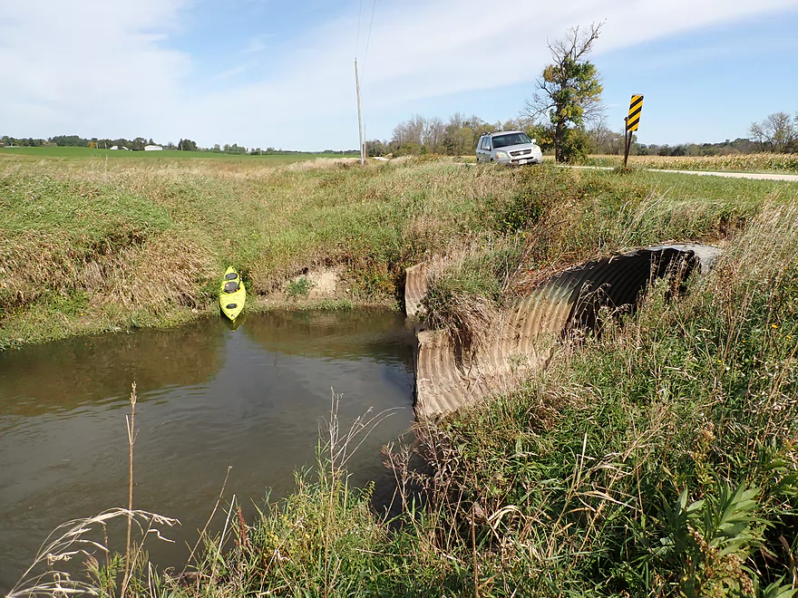
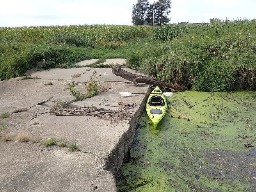
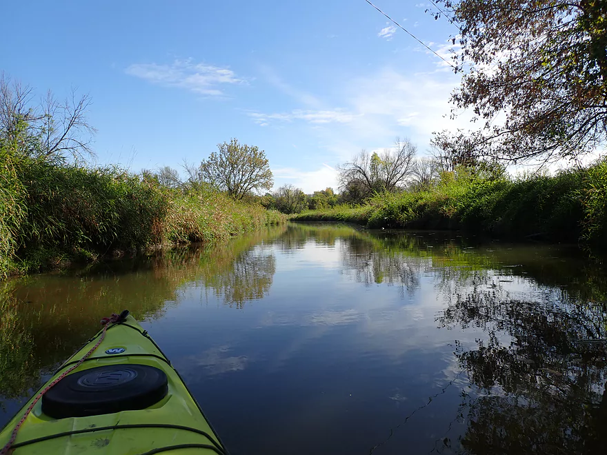
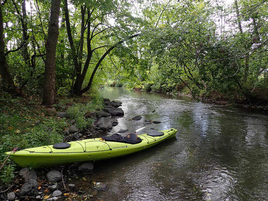
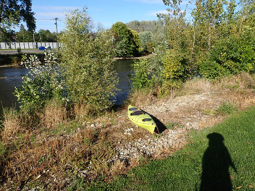
Putting in at Gray Rd
View from atop the bridge
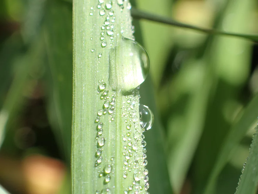
Droplets on grass
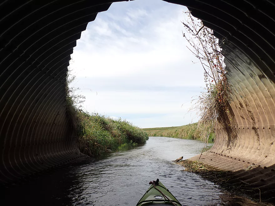
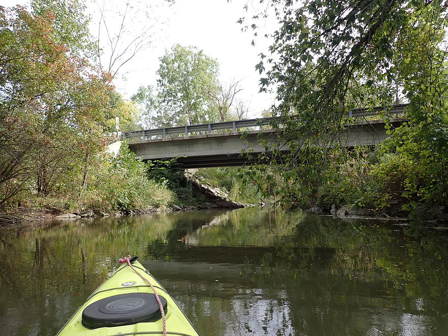
View under the bridge
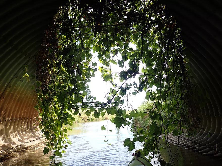
A veil of grapevine leaves
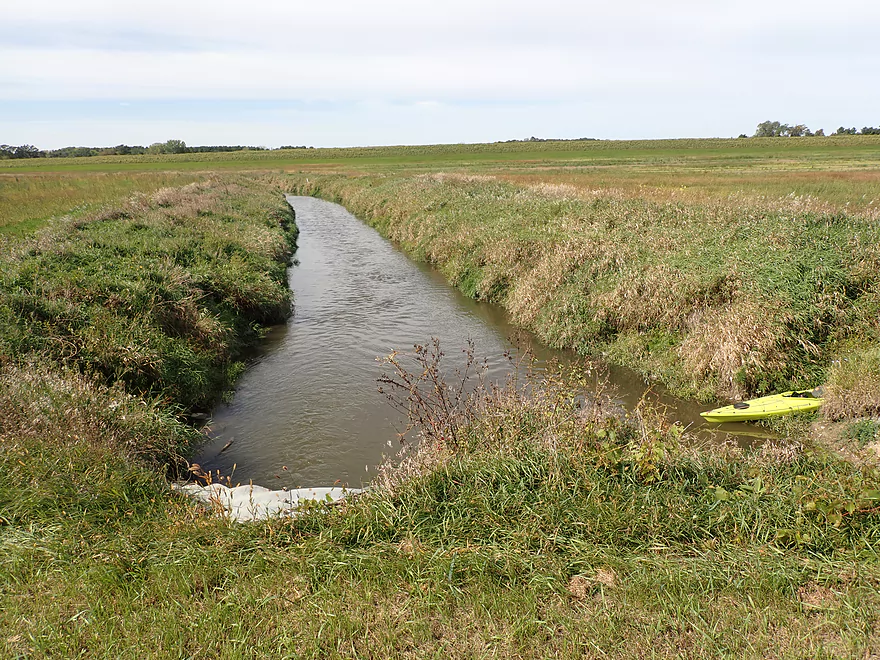
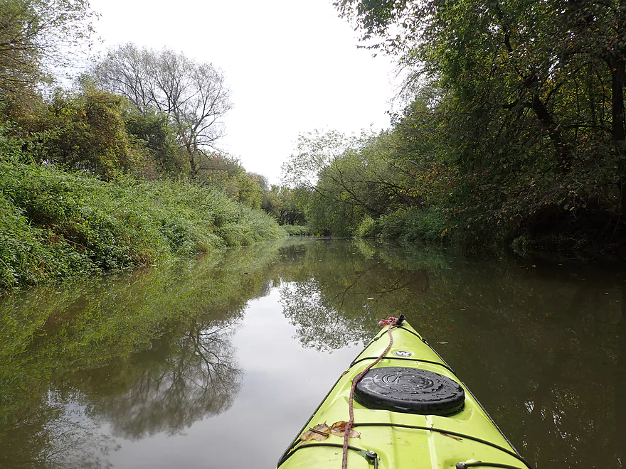
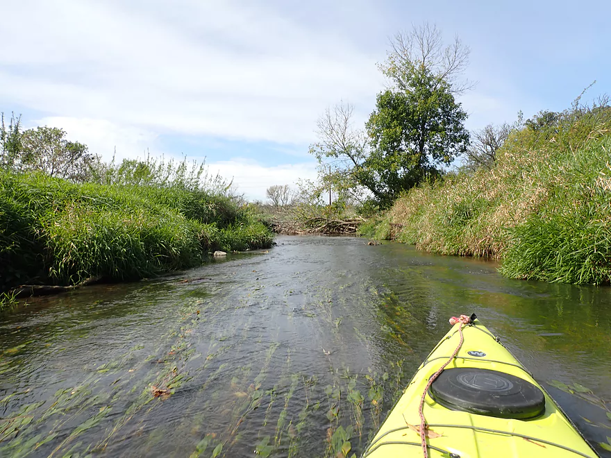
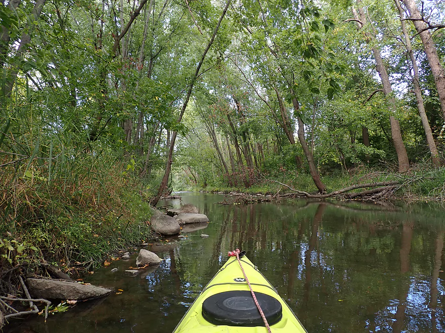
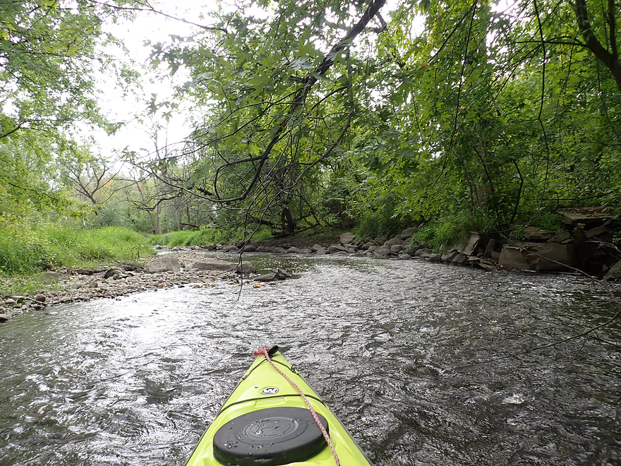
Creek is very straight and narrow to start
It’s been dredged and straightened by farmers
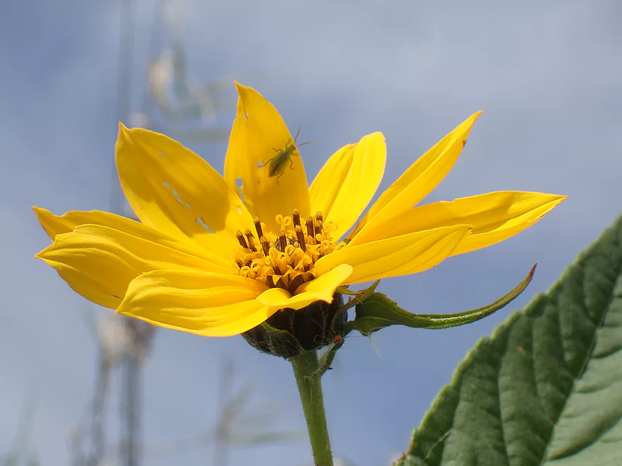
A few fall flowers dotted the bankside
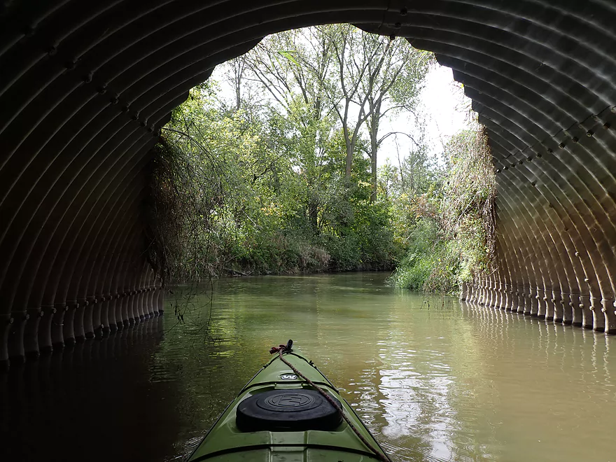
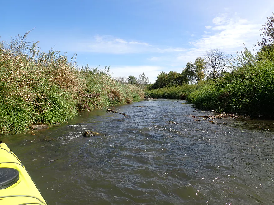
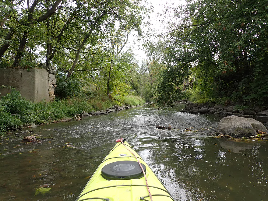
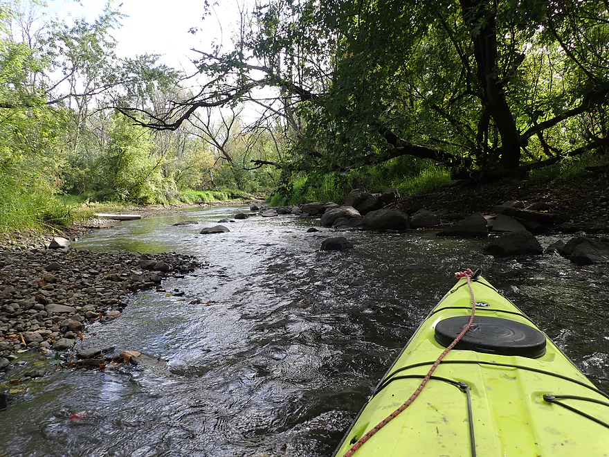
Paddling under Wildcat Rd
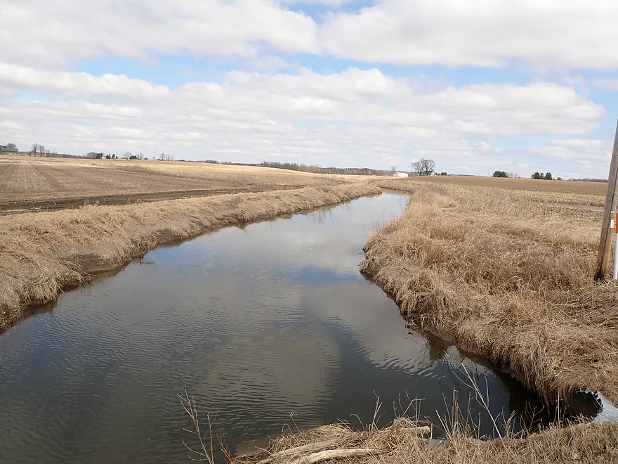
View from bridge (during spring)
My first trees…
Tall banks of dredge spoil
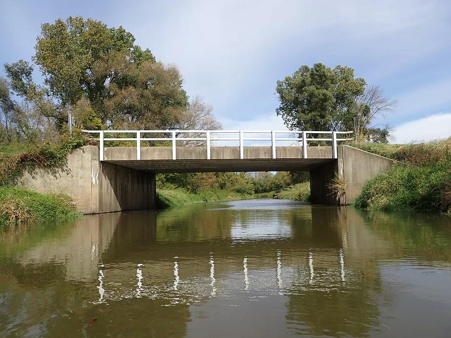
Concrete farm bridge
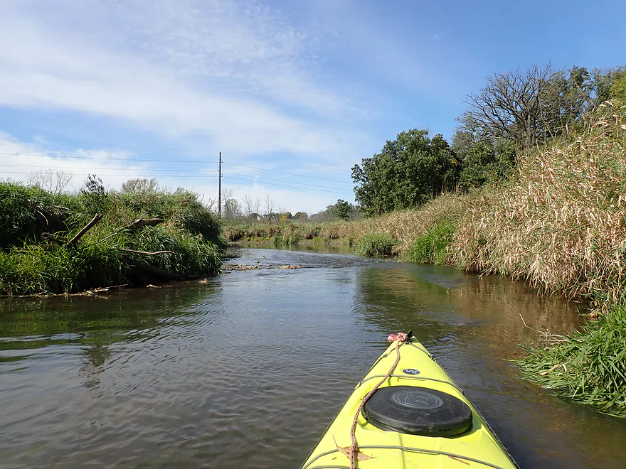
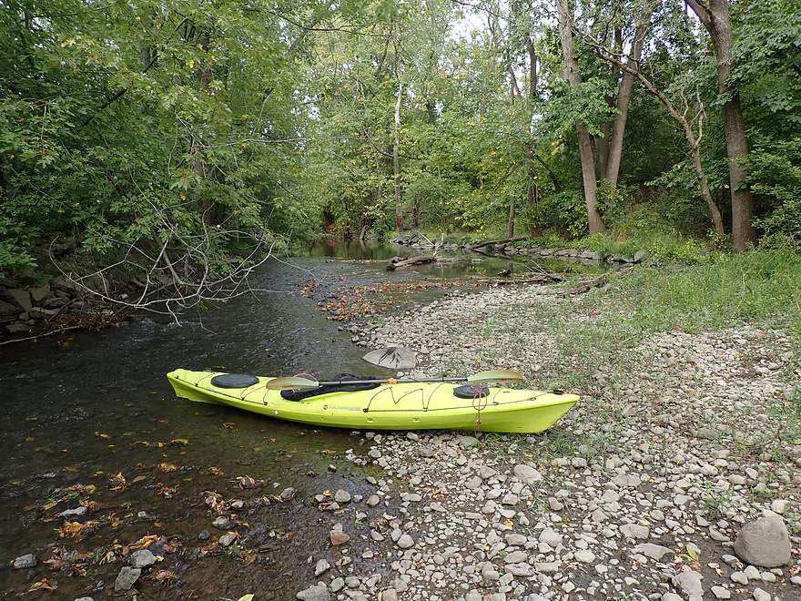
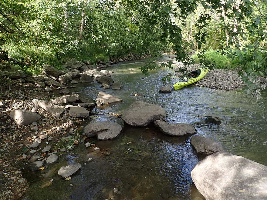
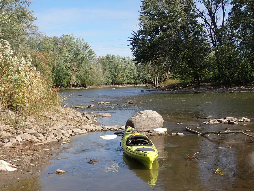
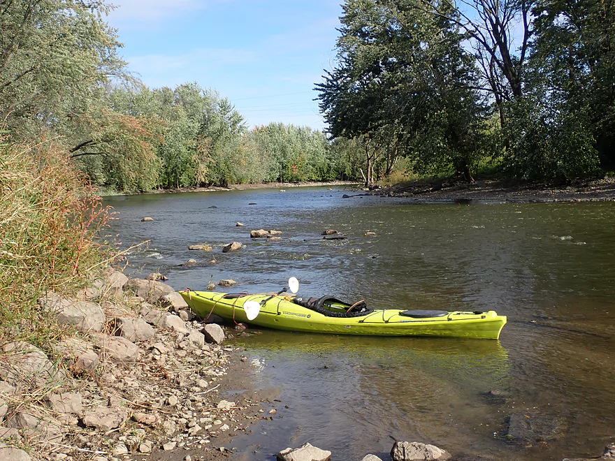
Perch Rd
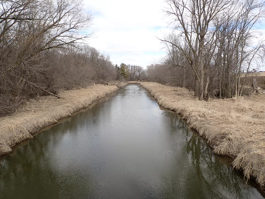
View from bridge (during spring)
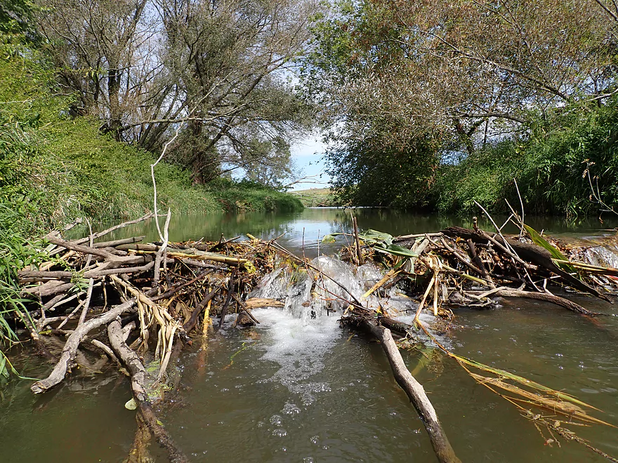
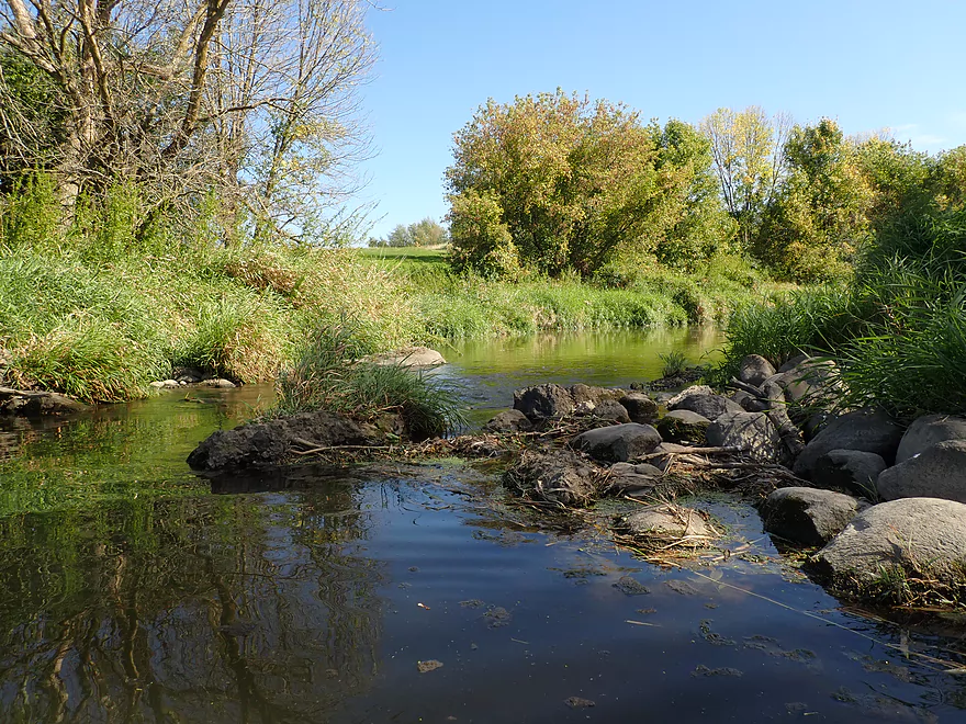
Beaver dam
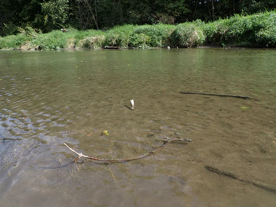
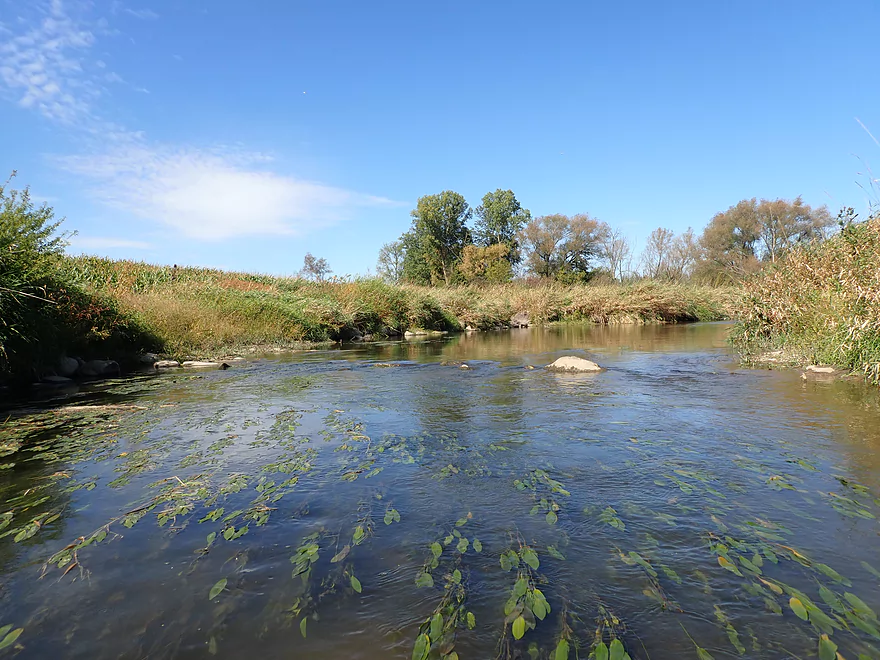
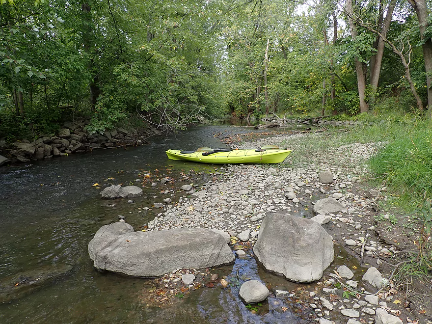
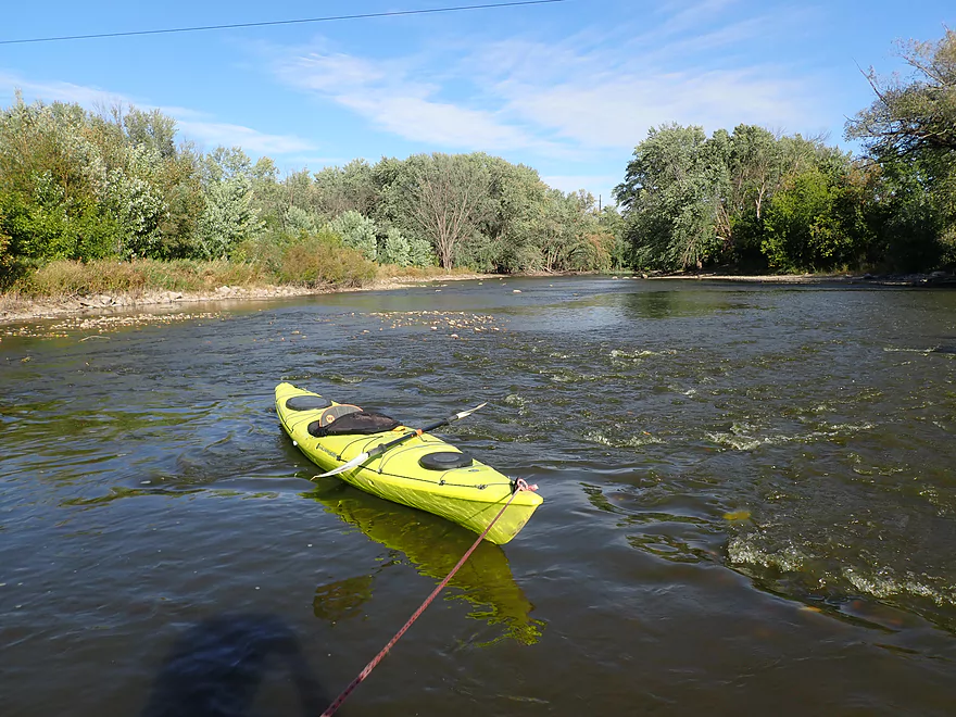
Some spots were really shallow
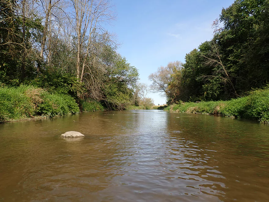
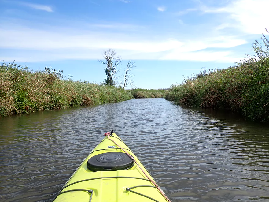
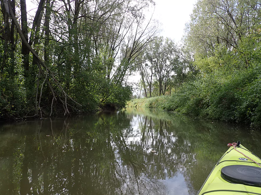
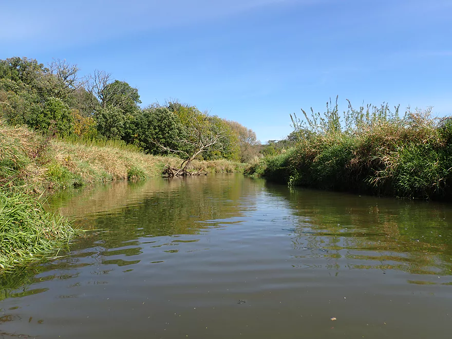
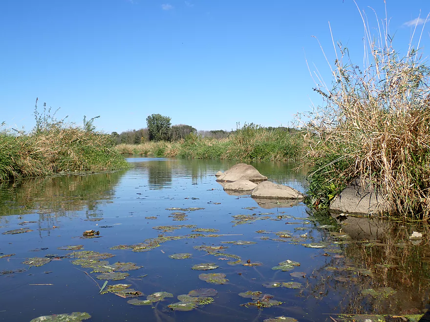
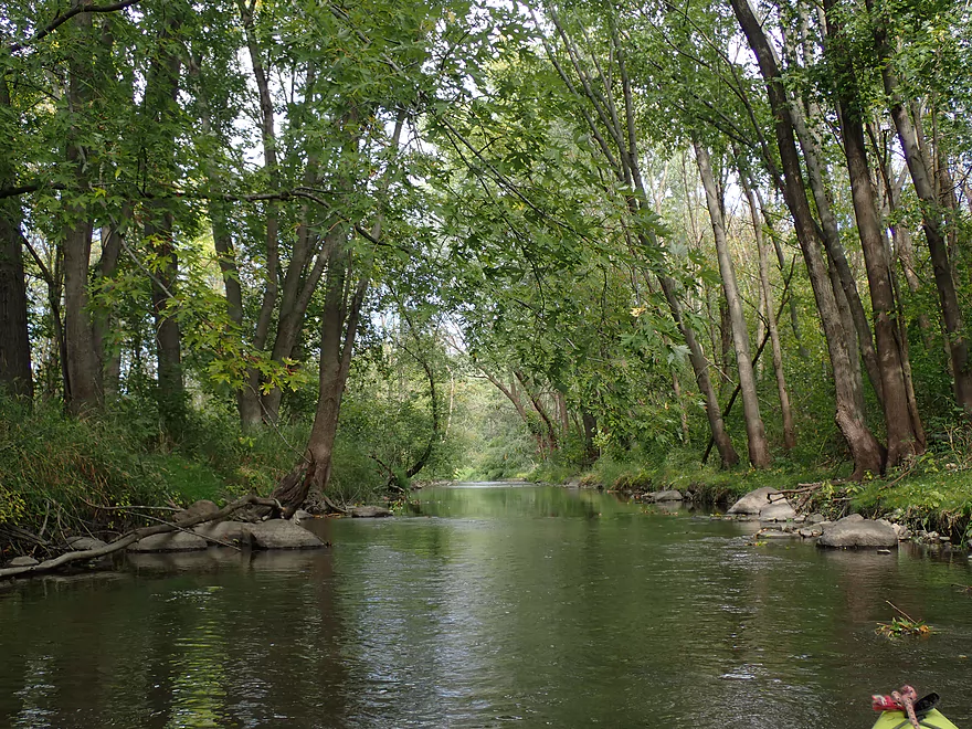
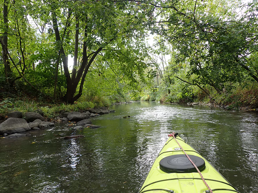
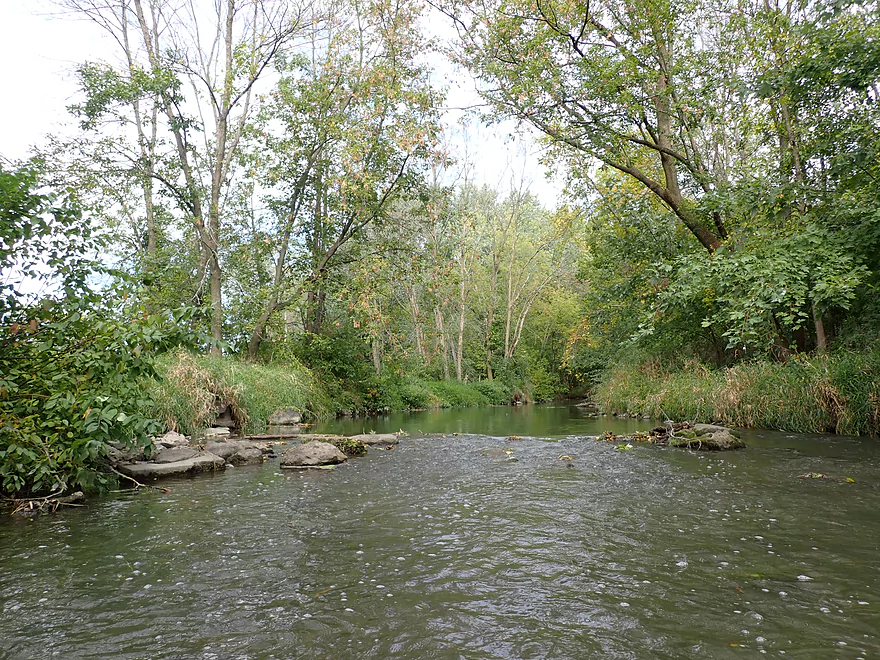
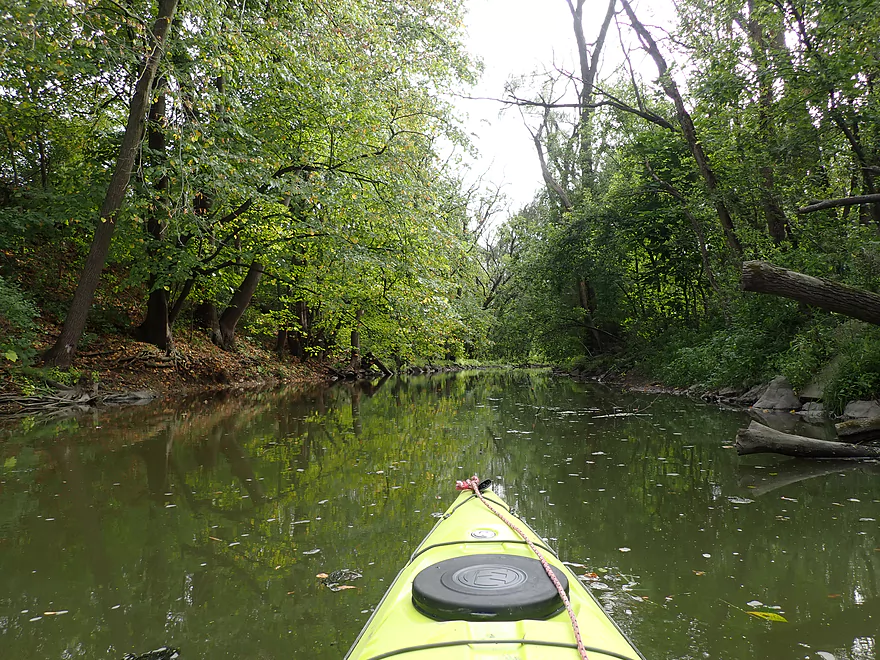
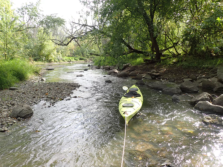
Creek finally starts to meander and become more “creek-like”
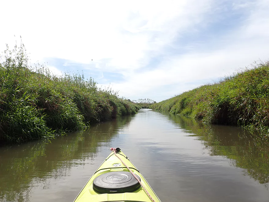
Nice part of the creek
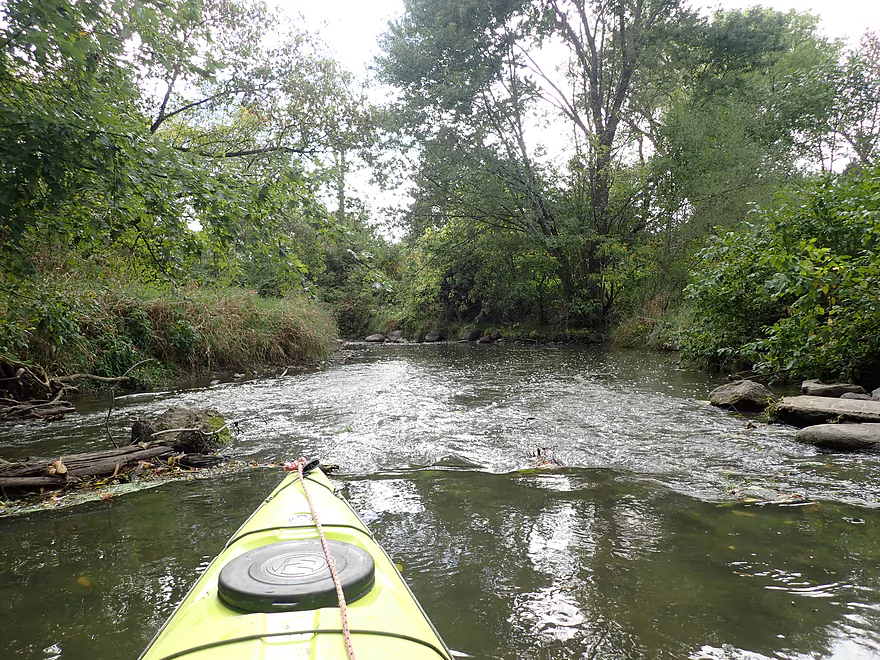
Some shallow riffles
The banks were often grown over with reed canary grass
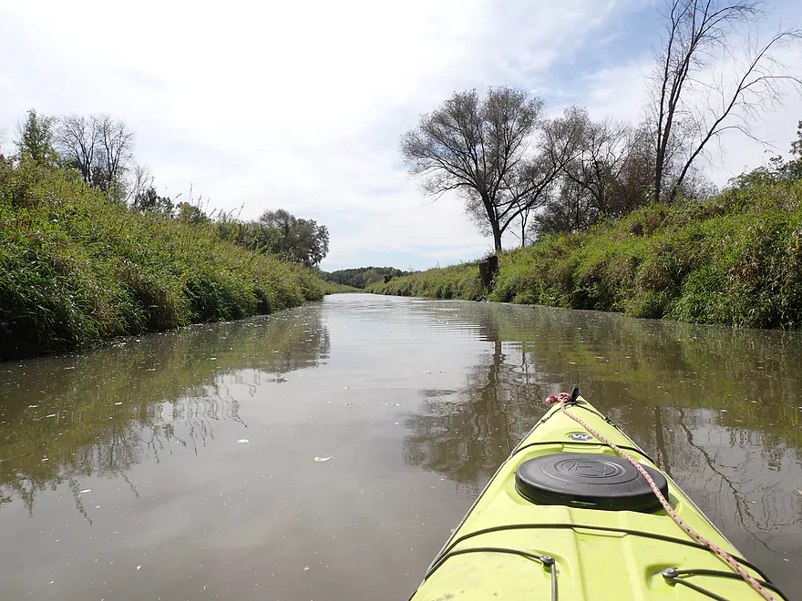
Creek starts to open up
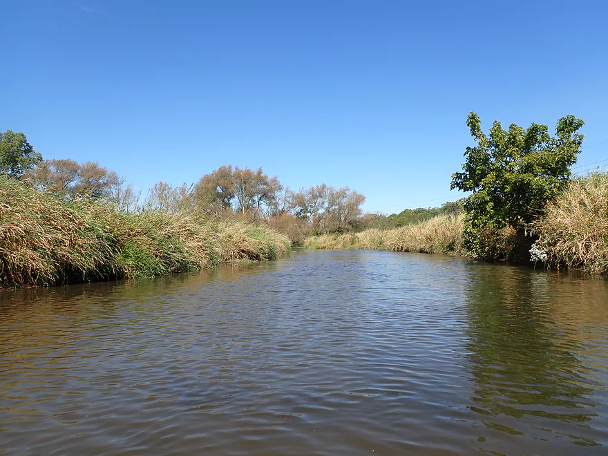
A bed of potamogeton flows with the current
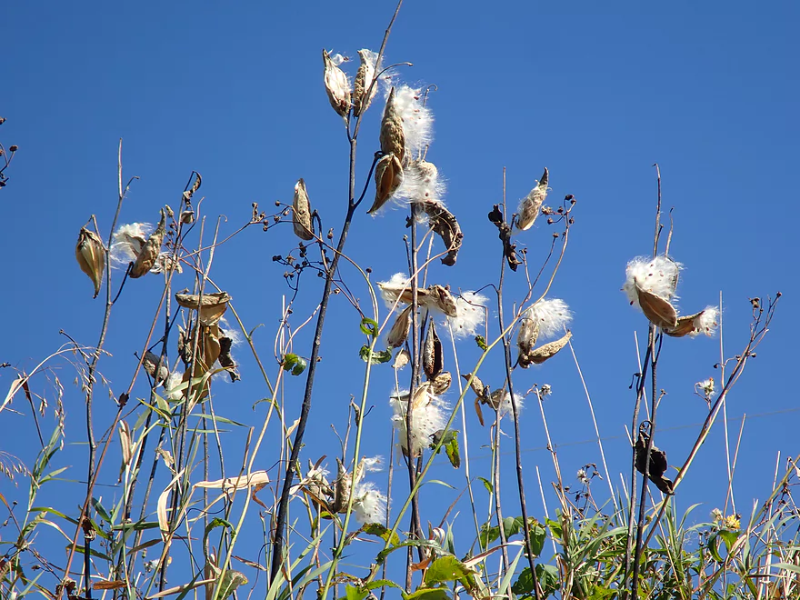
Milkweed pods are starting to open
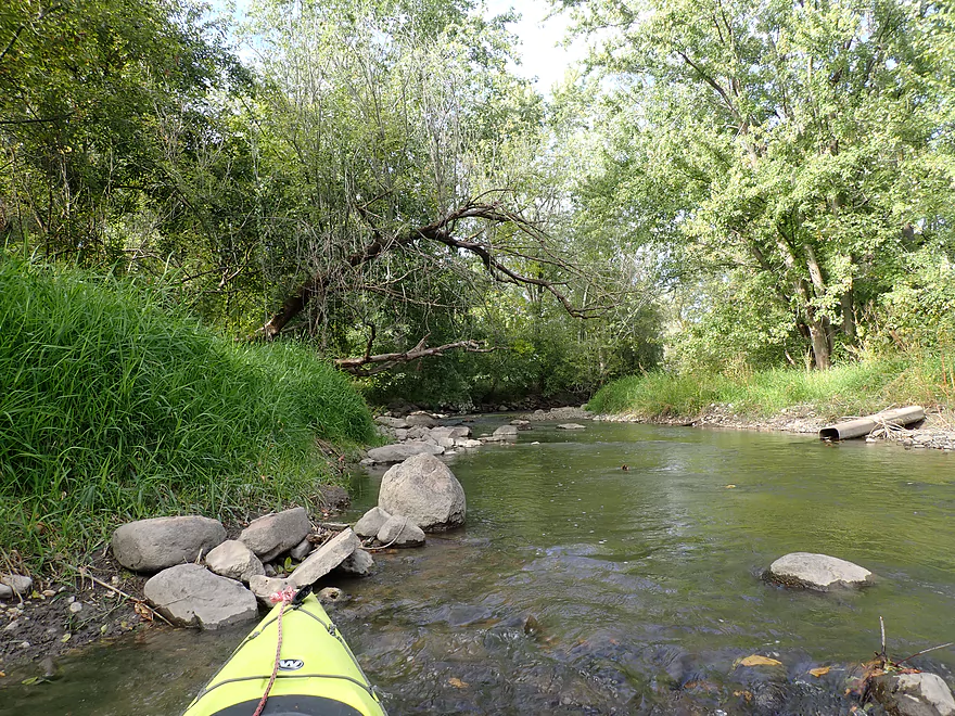
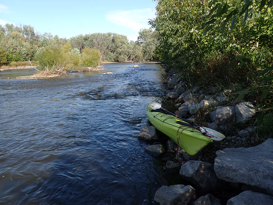
From here on the creek gets rocky
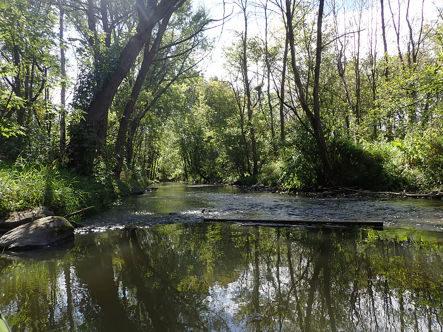
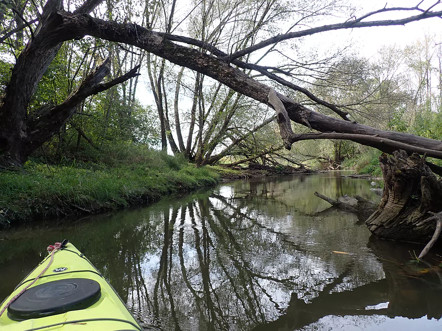
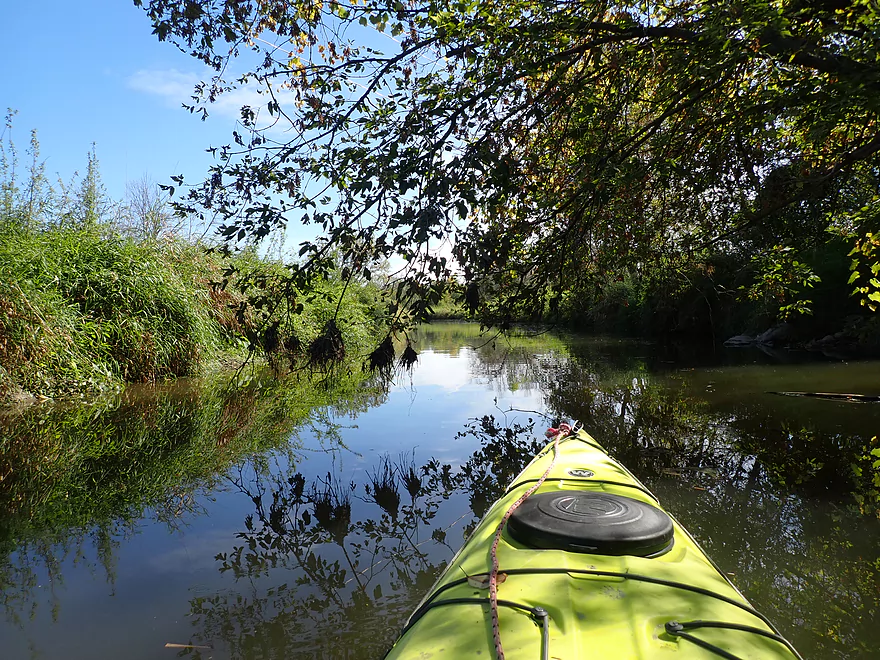
Entering a nice wooded stretch
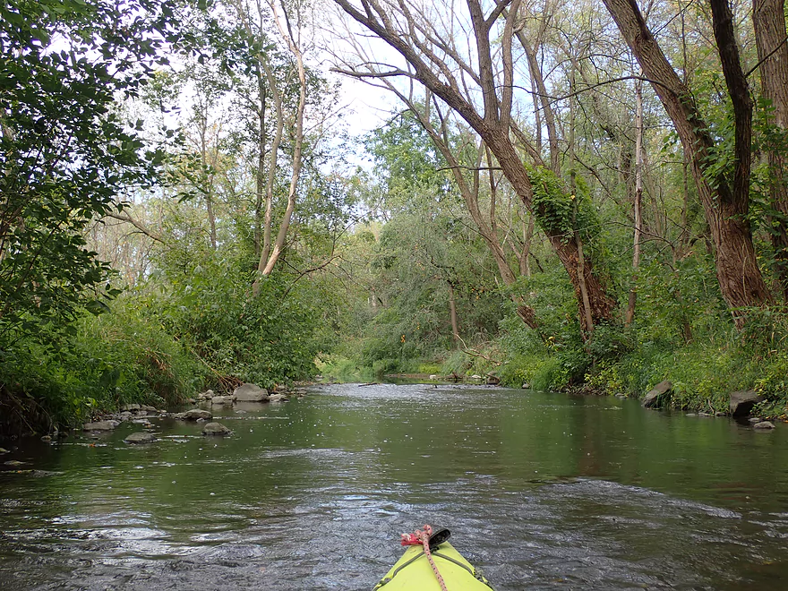
Super scenic
A few more light rapids
An old bridge abutment
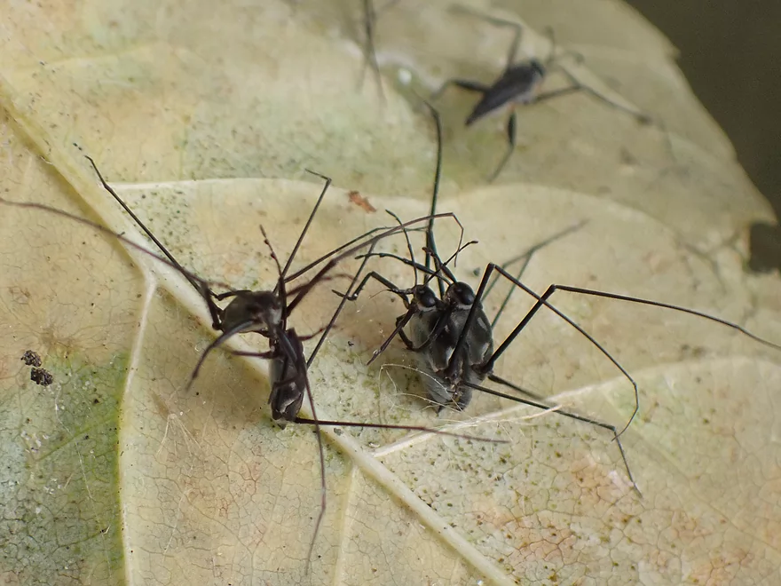
Mating water striders
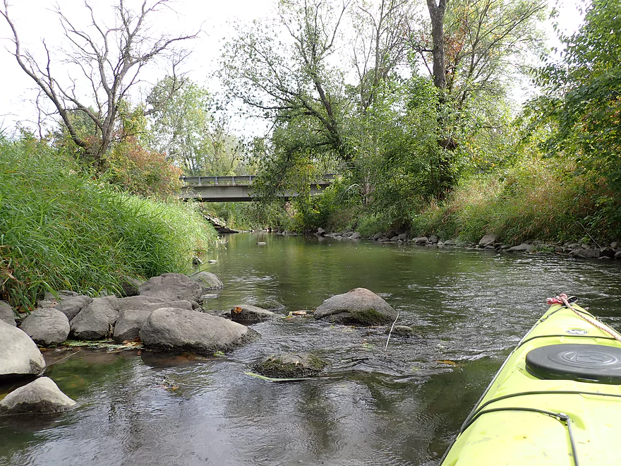
E. Tweedy St.
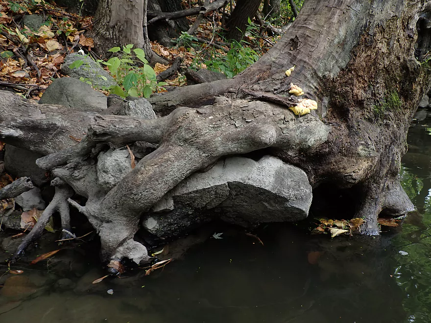
This tree looks like it’s eating the rock
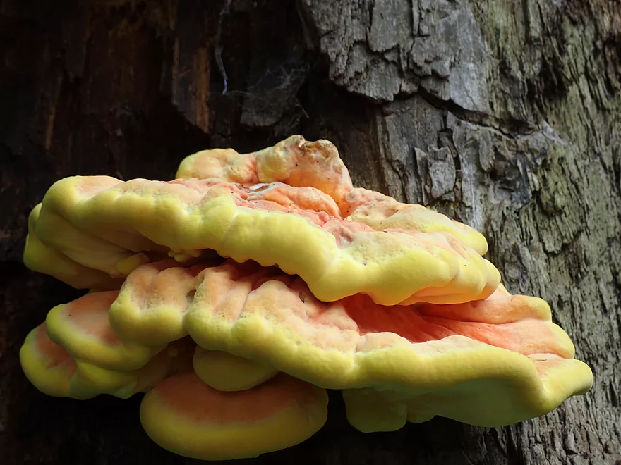
Mushroom lips
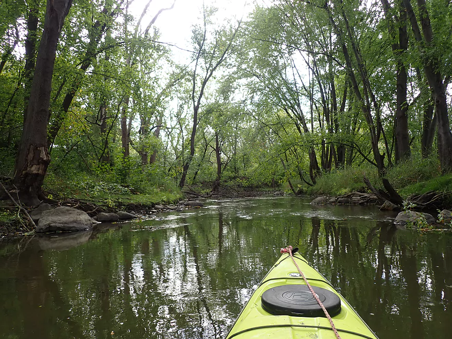
Entering a really scenic stretch
Getting out for pictures
Fun set of rapids
Reverse view
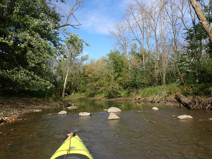
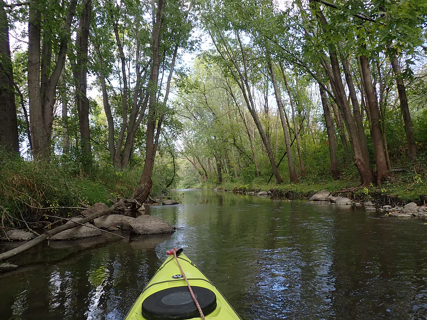
Final leg
Mouth of the creek
Now on the Rock River
Rapids and rocks on the Rock River…a rare sight
Taking out at Lion’s Park
Decent access
Neat stretch of the Rock River
Wildcat Creek


Wildcat Creek is an obscure tributary to the Rock River located south of Horicon Marsh. I had never heard of anybody paddling it, but it seemed cool from the scouting I did so I decided to roll the dice and check it out.
You can start a trip from multiple bridges, but Gray Rd is the best. You really can’t go any further upstream (logjams) and Gray Rd has a convenient side ditch which makes it easy to launch.
The first half mile (Gray Rd to Wildcat Rd) was fairly generic. Much of the creek’s character has been robbed by channel work done by farmers to straighten, deepen and widen the creek. Although it wasn’t too bad, and it reminded me favorably of two other “ditch paddles” I previously did in Good Earth Creek and Chapman Creek.
The next mile (Wildcat Rd to Perch Rd) featured more “ditch paddling” and at this point I had the trip pegged at two stars. This is actually an interesting part of the state as it has a huge number of glacial drumlins (the most in the world). From a topo map these oval-shaped hills (all pointing north-south) look like a pod of whales. This upper leg was sandwiched between two such long drumlins, but the scenery was a bit uninteresting because of the tall and weedy banks.
A very low driveway did have to be portaged using a “dock-style dismount” on the bridge itself because the banks were so steep. This can be tricky for new (and experienced) paddlers, but there are plenty of helpful Youtube videos explaining how to do this.
For the next two miles (Perch Rd to E. Tweedy St), things finally started getting interesting. For starters there’s a one foot beaver dam located just downstream from Perch Rd. It’s not difficult to slide down…and in hindsight explained why the upper creek was so slow and deep. I like beavers, but do think this particular dam makes the upper creek a bit less interesting.
After the beaver dam, the creek finally started to meander naturally, the tall banks were reduced in height, and the channel became shallower with a few rocks. In fact things got too shallow, and I had to do a fair amount of scooching in spots. I did this trip during a time of atypically low levels, and I suspect the creek is typically much deeper and more navigable. The adjacent scenery really changed as well with a more open feel and featured a few riffles. This was a great stretch.
Close to Hickory Rd, the creek entered a woods with rocky banks and boulder gardens. In several spots there were fun rocky chutes to paddle through and a few light rapids. This was incredibly scenic and not something one would expect from Southern Wisconsin. I suspect some profound glacial event occurred which resulted in an inordinate number of boulders being dumped in a small area south of Hustisford.
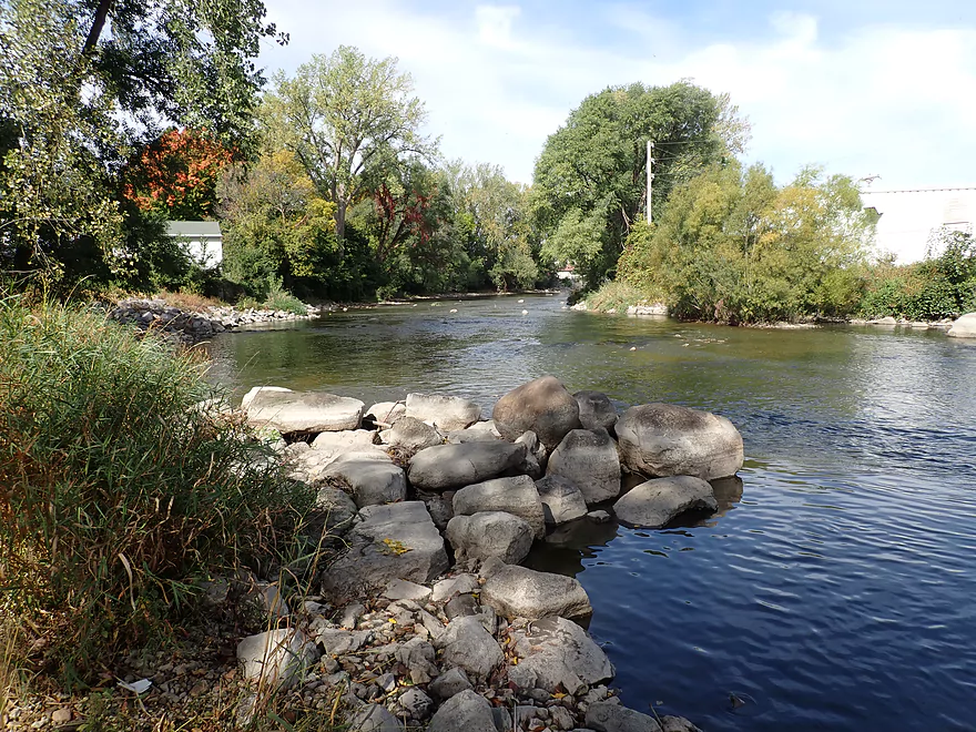
E. Tweedy St to the Rock River (0.3 miles) was the last stretch. This featured the best rocky chutes, boulder gardens, and tree canopies that encapsulated the creek. I passed Fireman’s Park, where I initially planned to take out, but it didn’t seem practical. Instead I continued to the mouth on the Rock River, where my plan was to head upstream to Lions Park.
The Rock River below Hustiford is unlike 99% of the Rock River…it’s actually rocky! It also features some fun rapids, boulder gardens, and great scenery. IMO it is THE most scenic stretch of the Rock River. Unfortunately, paddling upstream against the strong current and shallow rapids was a bit tricky so I ended up wading the last part of the trip. Lions Park itself was an ok take-out and scenic…but most paddlers will find the next downstream bridge (Hwy 60) a more convenient access.
In summary this was a trip that started a little bland (2 stars) but got progressively better and by its end was quite nice. I’m not sure the citizens of Hustisford realize what a cool creek they have going through their backyard. My one regret though was going when levels were a bit low. Live and learn.
Sights included an egret, a few hawks, a clam, and a few turtles. The highlight was a one-foot beaver dam located downstream from Perch Rd.
Gray Rd: This was a decent bridge access. There is plenty of shoulder parking, and it’s easy to launch NW of the bridge where a small drainage ditch joins the creek.
Alternate Put-ins:
- Upstream of Gray Rd: The upper creek largely isn’t viable for paddling because of all the logjams.
- Wildcat Rd: 0.5 miles downstream from Gray Rd. This is likely a viable bridge access with a nice pull-off area for parking. But the banks here are steep…maybe you could launch from an adjacent side creek. Gray Rd is a better put-in.
- Perch Rd: 1.6 miles downstream from Perch Rd. This is likely a doable bridge access, but the shoulders are a bit steep and narrow. I didn’t see any good parking spots close to the bridge.
Lions Park: This is a scenic park which overlooks rapids and a boulder field on the Rock River. But to reach it from Wildcat Creek requires an upstream trek of 900′ against fast current. I was able to wade this ok, but I assume most would prefer NOT to do this. Parking is available on the street (by the marked portage path) and a bathroom is available north of the tennis courts.
Alternate Take-outs:
- Fireman’s Park: I scouted this but it didn’t seem viable as a take-out because of a huge baseball fence.
- E. Tweedy Street: I scouted this too…but it’s a bad access option (busy street, houses nearby, steep banks, and nowhere to park).
- Hwy 60: 0.3 miles downstream from the mouth. This is the best take-out option and doesn’t require any upstream paddling. Hwy 60 is a busy road, but I have seen paddlers use this area as an access before. You might be able to park in the BP parking lot which could be more convenient.
Bike Shuttle Route – Gray Rd to Lions Park: 3.9 miles with 85′ of ascent. This wasn’t a bad shuttle, but was lacks cover and protection from the wind.
Current: The upper creek is slow, but the lower creek was a bit faster. Nothing was super speedy though.
Logjams: None (a pleasant surprise).
Beaver Dams: There is a one-foot beaver dam south of Perch Rd, but it’s an easy hopper.
Low Bridges: There is a low driveway south of Wildcat Rd that must be portaged. Because the banks are steep, this will likely require a dock-style dismount on top of the bridge itself. If you’re familiar with dock style dismounts, this should be easy. But if not, be careful with your technique. Keep your weight low, your paddle horizontal, your feet centered, and your butt facing away from the bridge. Generally speaking you want to have your feet slightly off center AWAY from the bridge/dock. This will push the boat into your landing. If you do the opposite and stand too far inside, it will push the boat away and you’ll go for a swim.
Rapids: There are none upstream of Perch Rd (thanks to the beaver dam). The next two miles after that feature a few minor riffles, but nothing major. The best rapids will be located just upstream and downstream of E. Tweedy Street. They were bumpy and easy for my run…but high water could promote them…figure after a big rain a few Class 1’s and maybe a Class 2.
Trip done at 24 CFS per the Rock River – South Branch Gauge. The following are just rough guesses. Always use your best judgement. The best bridge to scout levels from will be the E. Tweedy St bridge, because that’s a rocky section.
- 0-20 CFS: Too shallow.
- 21-30 CFS: Very shallow…98% of the creek is fine for paddling, but there were multiple shallow spots that require serious scooching. Most paddlers would not consider my 24 CFS an acceptable depth.
- 31-40 CFS: Somewhat shallow. Likely a viable target depth.
- 41-50 CFS: Likely a good target depth.
- 51-60 CFS: Creek is above normal depth and might lose some character.
- 61-70 CFS: This is a high depth. The rapids near the Rock River might be fun, but some of the better boulder gardens might be submerged.
- 71-80 CFS: A very high depth. There might be a few strainers to worry about now that weren’t a problem at lower depths.
- 81+ CFS: Perhaps too high for enjoyable paddling.
- Upstream of Gray Rd: There are likely too many logjams.
- Gray Rd to Wildcat Rd: 0.5 miles. The creek here has been artificially straightened and deepened by farmers. A very straight section with high banks…but not bad.
- Wildcat Rd to Perch Rd: 1.1 miles. The creek here is situated between two long drumlins, but is generally uninteresting as it has been straightened and deepened. There is one low bridge to portage. As of 2021, much of this leg is about a foot higher than normal because of a beaver dam.
- Perch Rd to E. Tweedy St: 2.1 miles. Creek finally starts to meander naturally and become shallower. Much of this is a nice open stretch. The last segment features a super scenic woods with some light rapids and boulder gardens.
- E. Tweedy St to Mouth on Rock River: 0.3 miles. Scenic wooded stretch with boulders and light rapids.
- Take-out Options:
- Upstream to Lions Park: 0.2 miles. One of the most scenic stretches of the Rock River, but wading or tough paddling will be required to go against the current.
- Downstream to Hwy 60: 0.3 miles. A short but pleasant stretch on the Rock River.
Trip Map
Overview Map
Video
Photos Size:
Great videos, always look forward to finding new places to explore.
Hi there,
I just paddled this stretch yesterday evening after work at 40CFS. I would not recommend going any lower. I was able to get by without getting out, but did have to scoot/scrape in a few spots.
My only updates are that the beaver dam is now gone, and there are some freshly fallen trees near the finish which might require you to get out and wade at lower levels. Lots of dead ash near the finish poised to fall in over the next couple of years.
How/why do farmers straighten these channels? This is the first river of such that felt like I was paddling through a grass canyon in the beginning. I’m glad the river changed pace later on.
Yeah it is a shallow creek. It’s too bad about the dead ash…those are all likely future logjams.
Interesting read about Wildcat Creek. Our property ends very near the Hickory Road part of the Creek. There is a corridor that is being routinely cleared of trees (dead ash as well as trees that may hinder the power lines) by services contracted by our local power company. I would like to plant weeping willows in this area (it can be “boggy” when it rains) but wonder if they might be cut down if the maintenance services determine they might become a liability. Presently, it’s a pretty boring stretch although navigating is easy. We have lived here 3+ years and I have wondered why we do not see recreational use on a regular basis.
Good question on tree types…I’m not sure. I suspect more don’t paddle this creek because it can be so shallow.
I have two log jams to report. One south of Perch Road where the water trail makes its big turn southward after traveling west. This took a hop up a two-foot muddy bank and a trek through tall grass for about 20 feet to go around the bole of the old tree. The second is just south of the baseball fence a hundred feet or so from its confluence with the Rock River. This one was no fun. The banks are steep at west, yet at east the trudge is through creek-level mud for about 50 feet or so as the creek has really swelled up around the impasse and probably does anew whenever it rains. I kayaked this on July 3, 2025. Hwy 60 was a good take-out (at rocks by storm grate at northwest corner of road easement.
I appreciate the update!