
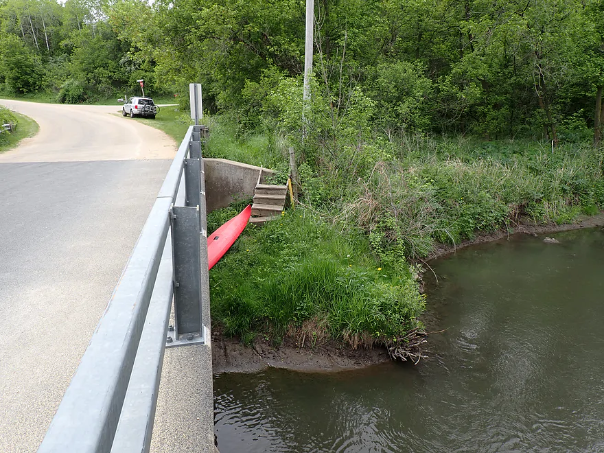
Handy stairs at the bridge put-in (Horseshoe Bend Road)
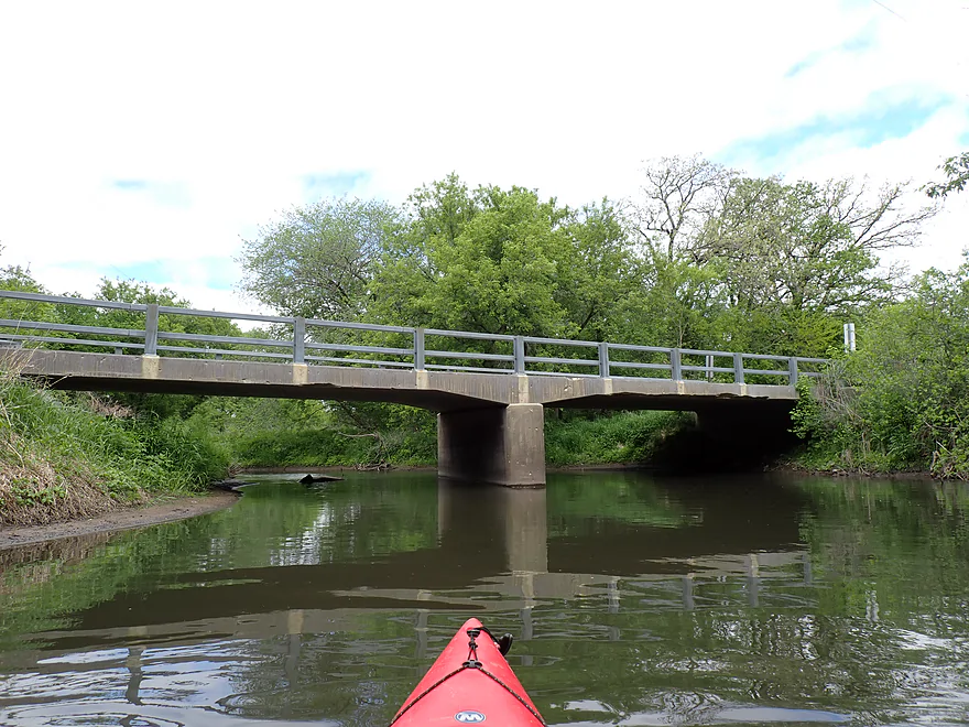
Reverse view of bridge
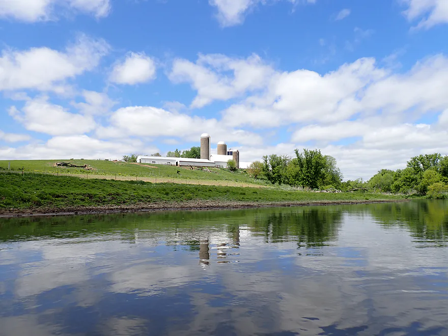
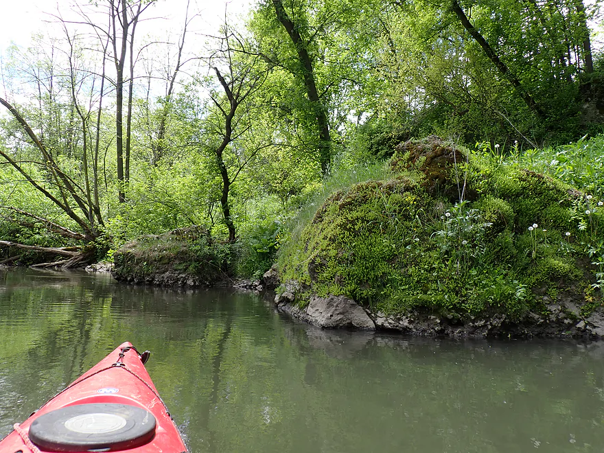
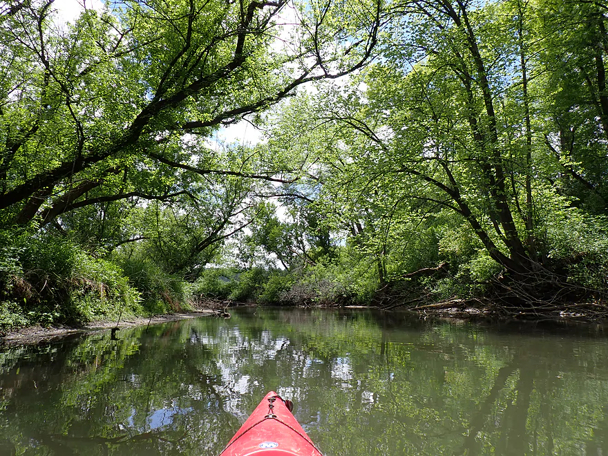
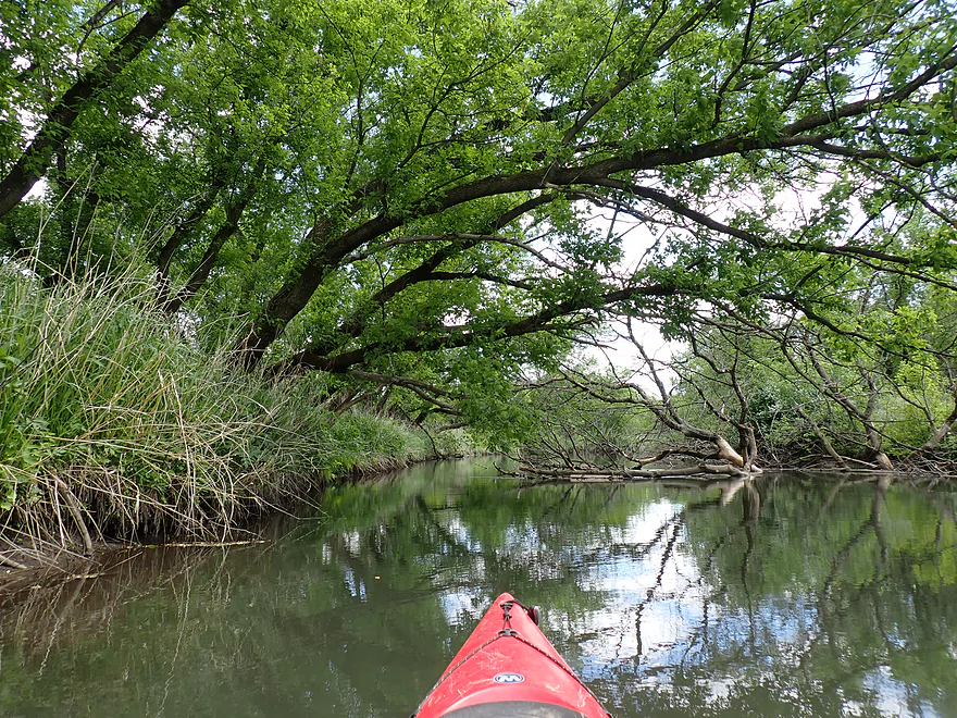
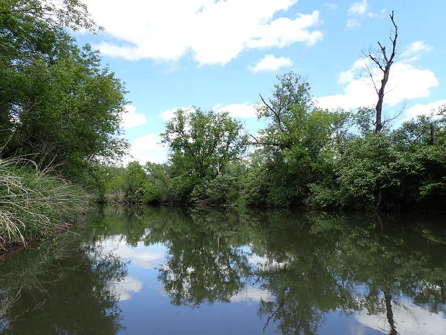
Nice pastoral scene
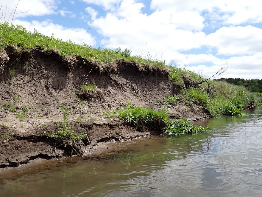
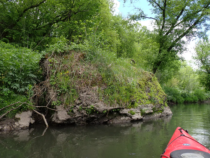
Some eroded mud banks
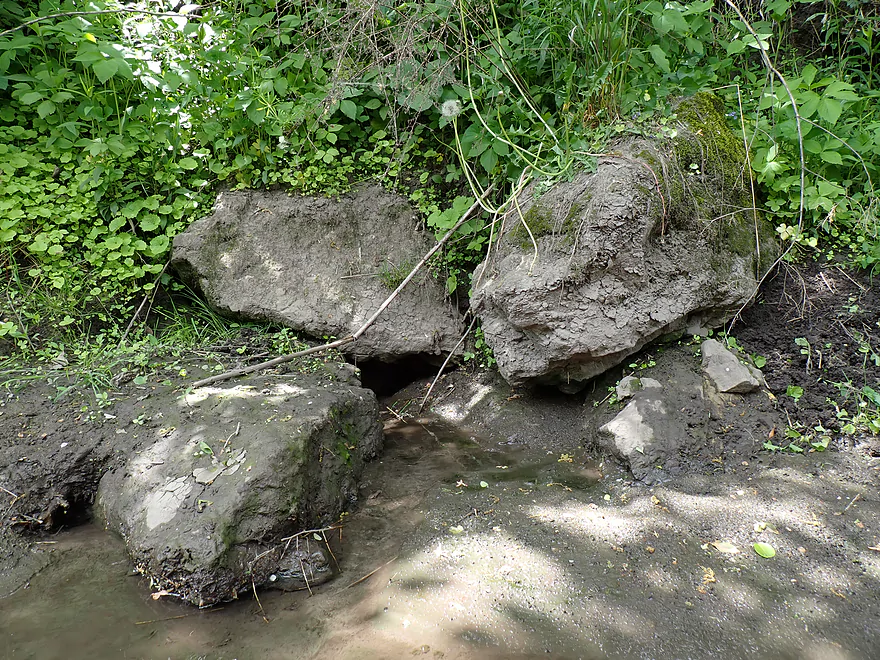
Not much for geology on this trip, but there were a few big boulders
Reverse view
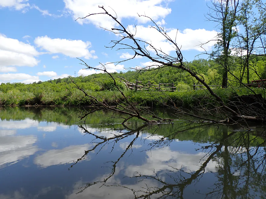
Side seep
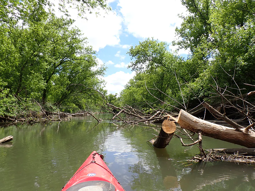
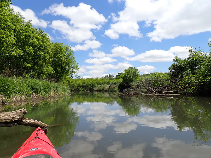
There has been a lot of good river cleanup work done
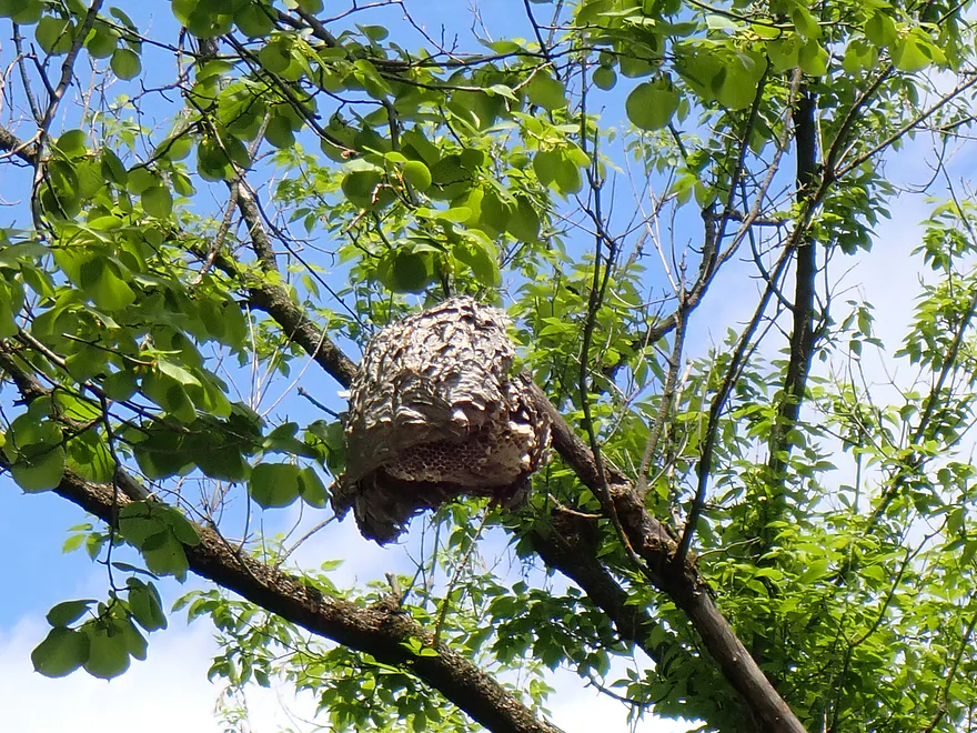
An old bald-faced hornet nest
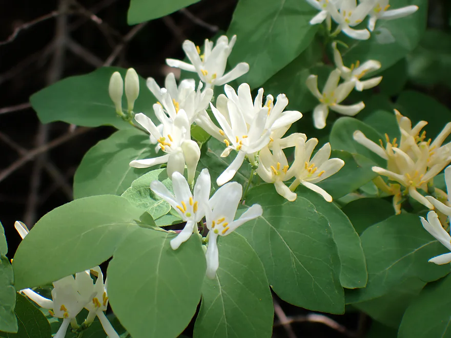
A white-flowered species of honeysuckle
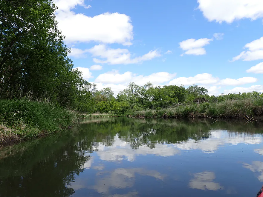
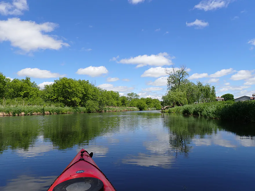
Nice blue sky day with white puffy clouds
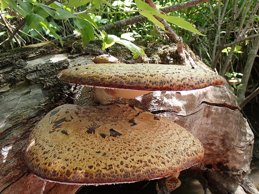
Pheasant’s back mushrooms (they are supposedly edible)
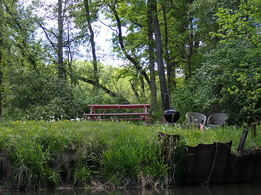
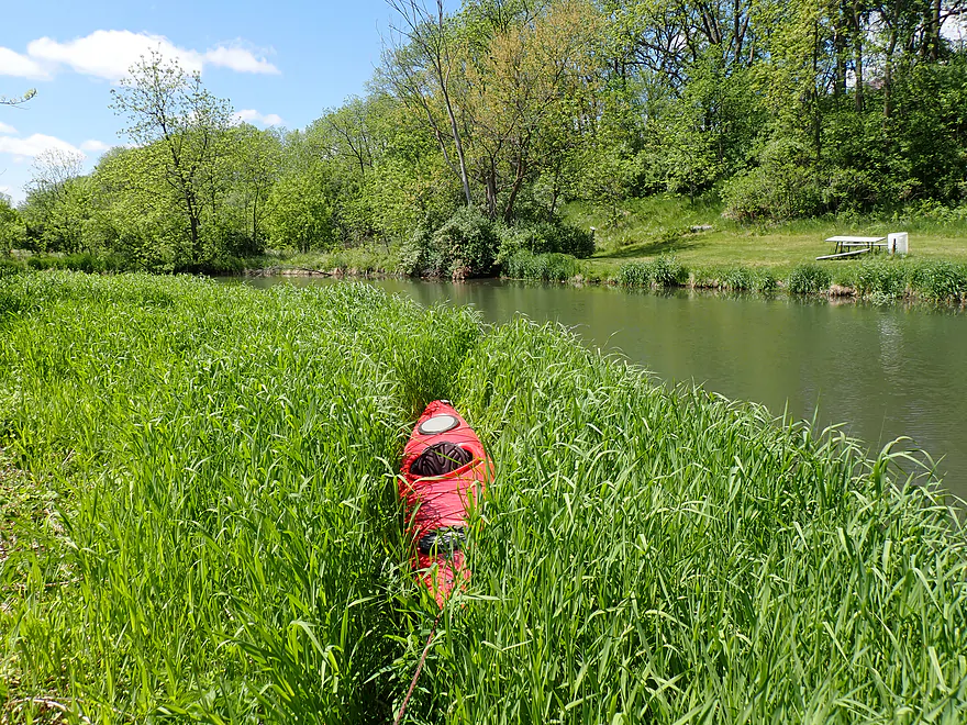
One of several riverside benches and tables I saw on the trip
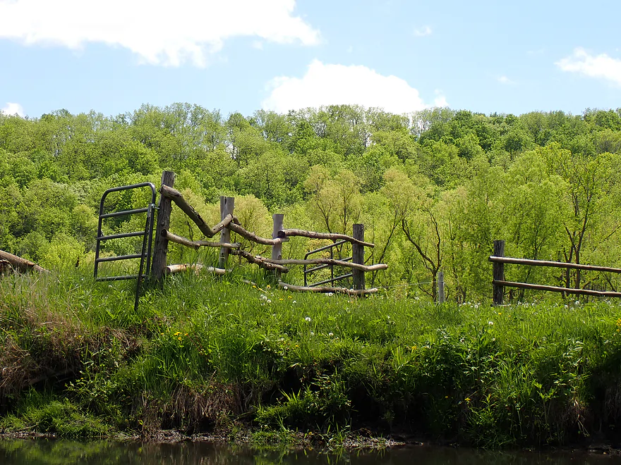
Cool rustic fence
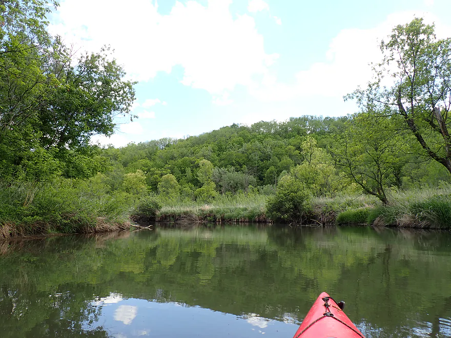
Some hills…but mostly hidden by trees
Entering the Blanchardville Mill Pond
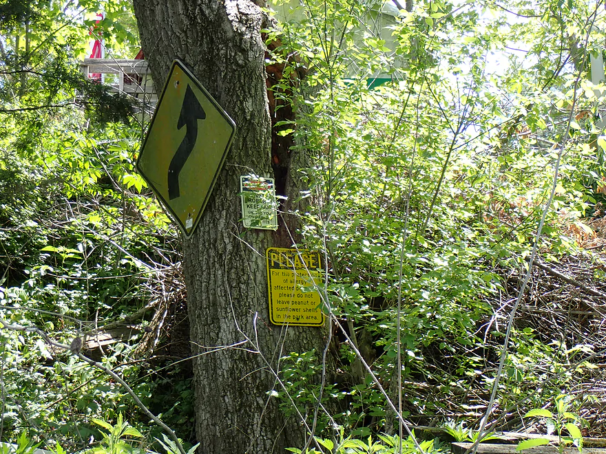
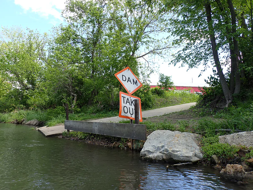
Interesting signs for paddlers
A new take-out…I kept going though
Horizon line marks the dam
Portaging the south shore
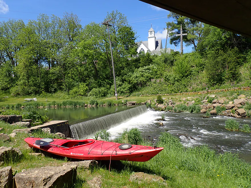
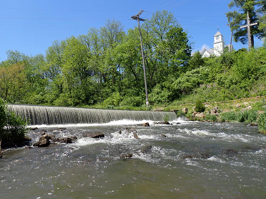
Scenic “waterfall”, church, and “rapids”
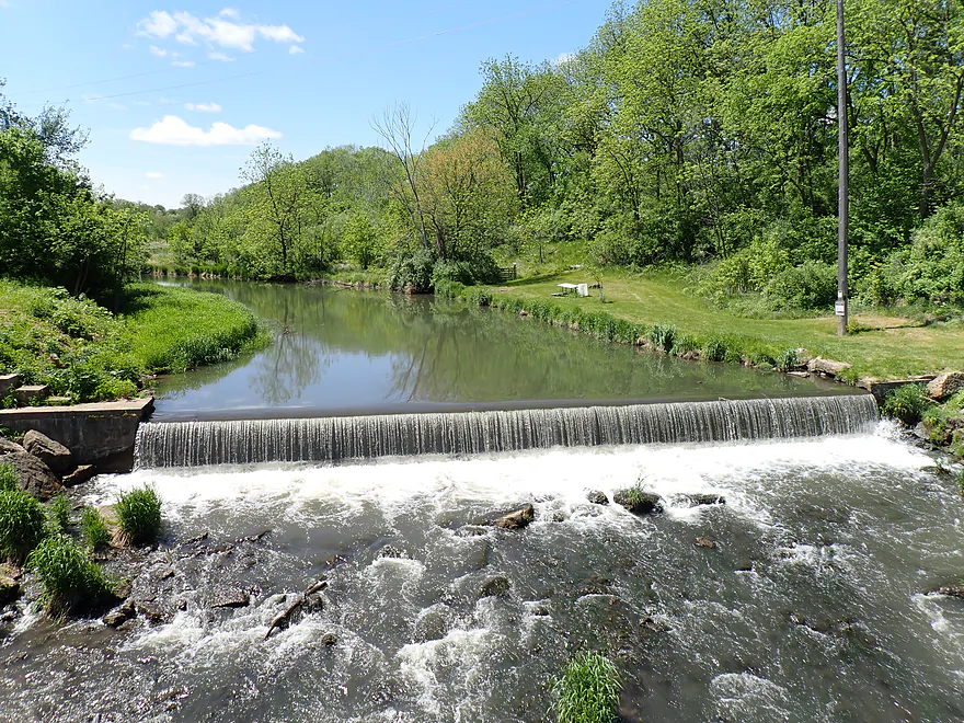
Reentering below the dam…not a bad portage
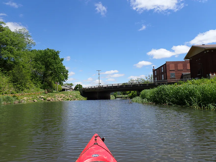
View from bridge (Hwy 78)
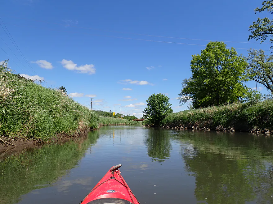
Paddling through the outskirts of Blanchardville
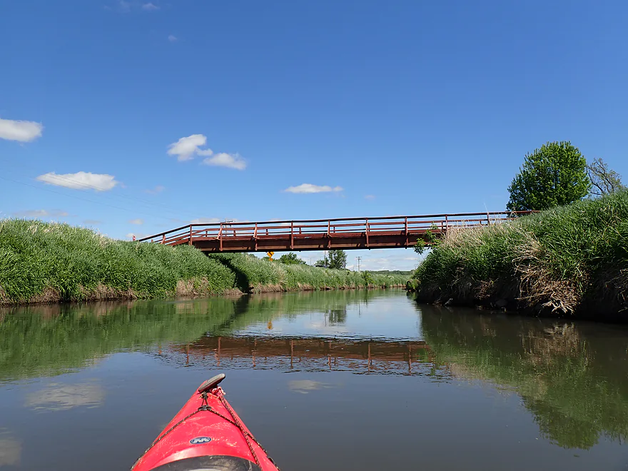
A pedestrian bridge
A public ramp at the mouth of Gordon Creek
Great access
Saying goodbye to Blanchardville
Pecatonica River – East Branch – Horseshoe Bend Road


The East Branch of the Pecatonica is a popular kayaking river in South Central Wisconsin. The problem though is it alternates between “good” and “bad” legs. And the best is between Hollandale and Horseshoe Bend Road, which I reviewed in 2014. It’s more of a large creek paddle with several nice rock outcrops and a scenic horseshoe bend. Most paddlers, however, don’t continue the extra 3-4 miles to Blanchardville as it is considered less interesting. My worry was more so logjams, but after the Pec River Rats recently cleaned this stretch, I decided to officially check it out.
I started the trip at Horseshoe Bend Road, which is a popular bridge access with paddlers…but mostly to take out. It’s not an ideal put-in as it was weedy, steep and a bit muddy…but all in all, plenty doable. The locals were nice enough to add some steps to make it easier to get up and down the embankment.
Honestly, the first part of the trip wasn’t that attractive. The water was turbid and the banks were steep, muddy, and topped with unkempt weeds and dead limbs. It was a good thing there weren’t logjams as portaging would have been difficult (thanks again to the “Pec River Rats”). I had hoped to see some outcrops on this leg, but there weren’t any. I did see a few seeps and a few larger boulders, which were nice.
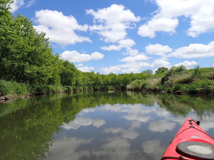
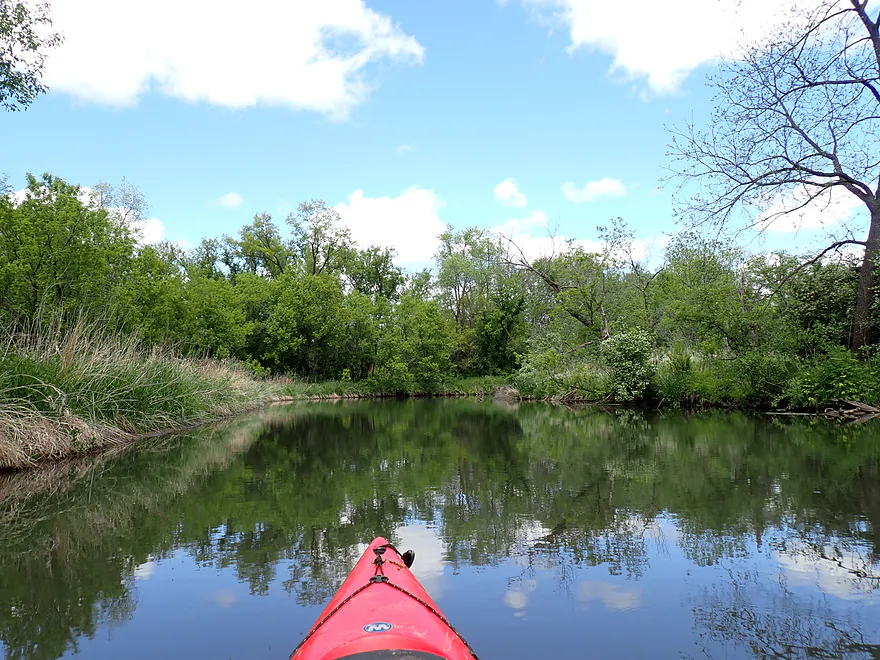
The second half of the trip proved more enjoyable. The river valley opened up and the banks became tidier with fewer dead limbs. Several of the hills were nice and I’m sure would look great during fall. The river also started to meander naturally. Parts of the East Branch are channeled by farmers to keep it from nibbling into their fields.
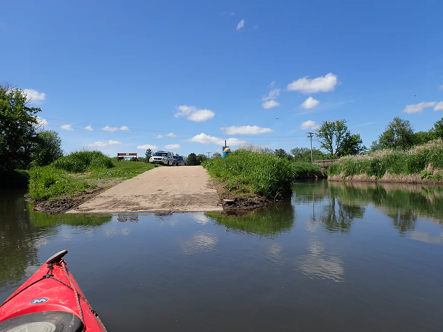
As the current slowed, I entered the Blanchardville millpond. I was surprised to find a new landing behind the Blanchardville Town Hall, which looked like a good access. A sign by the ramp indicated it was the spot to portage the downstream dam…but that would have meant a crazy 1000′ portage through downtown Blandchardville.
I ignored the portage sign and continued around the bend until I came into visual (and auditory) contact with the dam, which I portaged along the south bank. The entire area is scenic…the dam forms a “waterfall” which is back-dropped by a hill and church. Portage reentry proved easy directly under the Main Street (Hwy 78) bridge, but I did have to bump down a few rapids (not bad though).
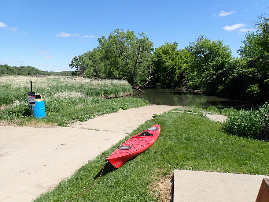
The final 2000′ was a pleasant paddle through the outskirts of Blandchardville and past large artificial embankments. A pedstrian bridge crosses the river from McKellar Park, which runs along the right side of the river. I ended the trip at the mouth of Gordon Creek, which featured a great public landing.
In summary, this a weaker leg of the East Branch. It’s not bad…but it just lacks the special scenery that other legs have. If you’re new to the East Branch, I suggest doing Hollandale to Horseshoe Bend Road…or River Road to the Argyle Boat Landing (Peter has a nice review of this stretch). Doing the East Branch between Horseshoe Bend and Blanchardville might be more suited for locals, or for Hollandale paddlers wanting a longer trip.
Sights included a few turtles and a red-tailed hawk that really agitated a flock of crows. I thought I saw him fly off with a crow in his talons, but it was tough to make out what was happening in the distance. The highlight were all the songbirds…a nonstop soundtrack for the trip. This is one of the perks of doing kayak trips in spring.
Horseshoe Bend Road: Not a great bridge access, but not awful and is popular with paddlers. The bank is steep and weedy, but somebody added stairs, which helps. The bank at the bottom is a bit muddy…but if you choose your launch spot carefully, there are a few rocks you can launch from.
Alternate Put-ins:
- McKenna Road (3.7 miles upstream from Horseshoe Bend Road): Terrific bonus stretch with some rock outcrops and a scenic horseshoe bend.
- Hwy 39 (7.7 miles upstream from Horseshoe Bend Road): Good bonus stretch that is popular with paddlers.
Gordon Creek Landing: A terrific public boat ramp located just downstream from Blanchardville.
Alternate Take-outs:
- Blanchardville Town Hall Landing (0.5 miles upstream from Gordon Creek): This is new and a good access. It also lets you avoid the dam…but for those wanting to see the dam and downtown Blanchardville, I advise continuing downstream to Gordon Creek.
- Hwy 78 (3.5 miles downstream from Gordon Creek): Not an awful stretch, but not super interesting. Hwy 78 is a tricky bridge access.
Bike Shuttle – Gordon Creek Landing to Horseshoe Bend Road: 3.0 miles with 200′ of ascent. This is a relatively short bike shuttle and not too difficult…but it does have two steep hills to climb.
Fences: There is a fence just downstream from Horseshoe Bend Road, but it was easy to get past.
Rapids/Dam: There is a dam in Blanchardville which can be portaged along the north or south bank. After reentering below the bridge there is a short stretch of Class 1 rapids that are pretty easy. Note, a sign on the river suggests portaging the dam by the Blanchardville Town Hall, but that would be a long trek through downtown Blanchardville. Instead you can get much closer to the dam for a much easier portage.
Logjams: There used to be logjams on this stretch, but they have been cleared out.
River Gauge: Pecatonica River East Branch @ Blanchardville
River Trip Depth: 160 CFS or 4.75′
River Navigability Estimates: These are just rough guesses.
- 0-100 CFS: A low depth, but should be fine for paddling.
- 101-200 CFS: An average depth and a good target range.
- 201-300 CFS: Above average, but a decent paddling depth.
- 301-400 CFS: A high depth.
- 401-600 CFS: A very high depth. Current may be pushy in spots.
- 601+ CFS: Maybe too high for enjoyable paddling.
Detailed Overview
- Upstream of Hwy HK: Too many logjams to recommend.
- Hwy HK to Burma Road: 1.3 miles. An ok prospect with perhaps some obstructions.
- Burma Road to Star Valley Road1st: 2.0 miles. An interesting prospect with good scenery and not too many logjams.
- Star Valley Road1st to Hwy 39: 3.1 miles. Good scenery potential but too congested.
- Hwy 39 to Horseshoe Bend Road: 7.6 miles.
- Hwy 39 to McKenna Road: 3.9 miles. A pleasant section with a rock outcrop near the take-out.
- McKenna Road to Horseshoe Bend Road: 3.7 miles. Another pleasant section with a massive rock wall.
- Horseshoe Bend to Blanchardville Dam: 3.6 miles. This is a less interesting section of the East Branch that lacks the river's iconic outcrops. It's not bad though, and may appeal to locals who want to paddle through Blanchardville. But most other kayakers will prefer other stretches of the river.
- Blanchardville Dam to Hwy 78: 3.9 miles.
- Blanchardville Dam to Gordon Creek Landing: 0.3 miles. A short, but pleasant stretch through the outskirts of Blanchardville.
- Gordon Creek Landing to Hwy 78: 3.5 miles. While not bad, this is one of the less interesting stretches.
- Hwy 78 to River Road: 6.4 miles. A pleasant stretch with open scenery, Driftless Area hills, and a handful of rock outcrops. On the downside some parts are a bit boring and open pasture has degraded some of the river.
- River Road to Argyle Boat Launch: 7.4 miles. A good stretch with impressive outcrops.
- River Street in Argyle to Hwy M in Woodford: 9.3 miles.
- Argyle River Street to Blackhawk Memorial Park: 8.3 miles. No outcrops and a lot of farm scenery. Not as nice as previous sections but still decent.
- Blackhawk Memorial Park to Hwy M: 1.0 miles. Section includes a very large island. You must take the east channel to reach the access on M.
- Hwy M to Cisserville Road: 6.4 miles. Probably uninteresting.
- Cisserville Road to Mouth: 2.2 miles. Probably a weak prospect.
- Mouth to Hwy 11: 3.2 miles. A leg on the Pecatonica River (main branch) to reach a take-out.
Trip Map
Overview Map
Video
Photos Size: