
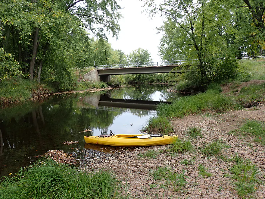
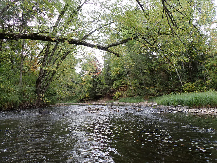
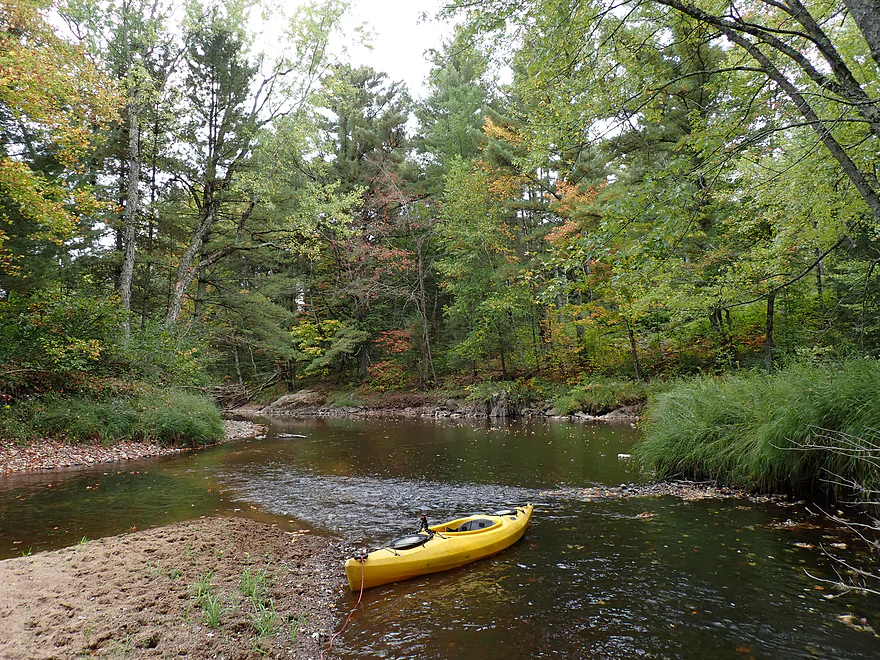
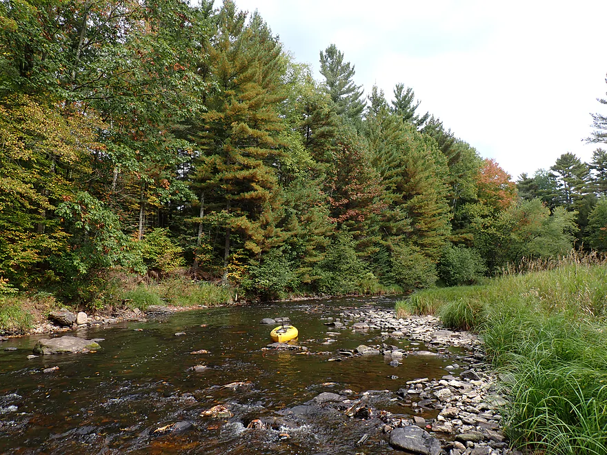
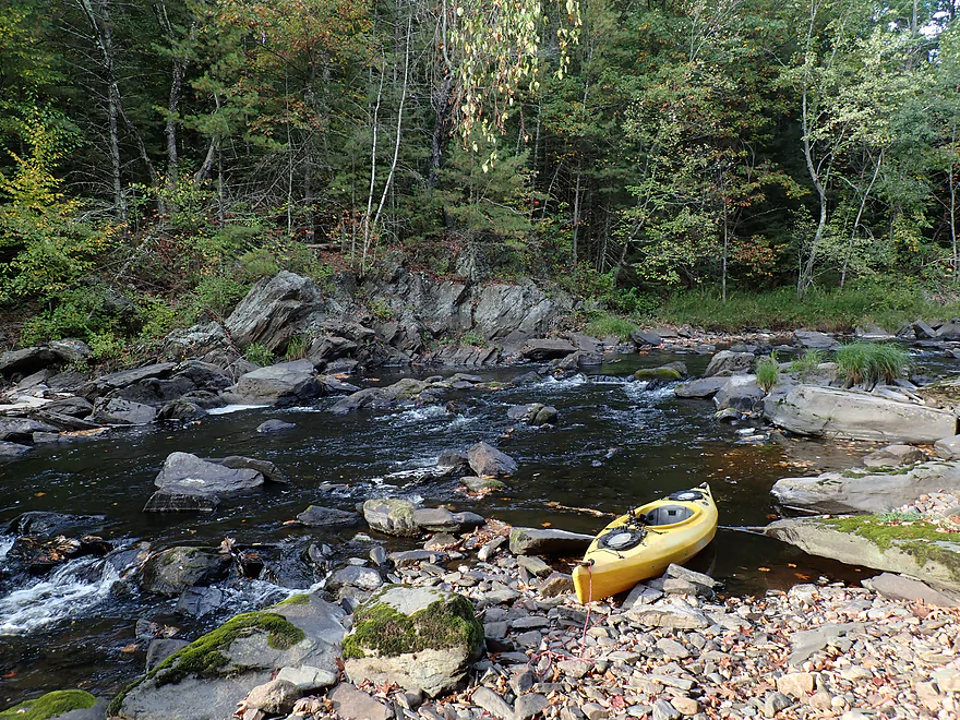
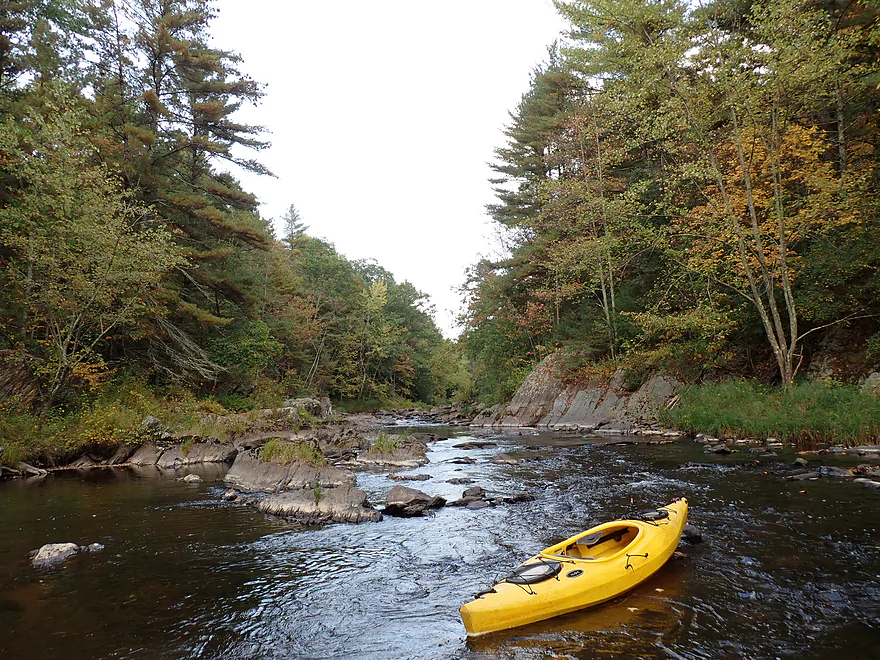
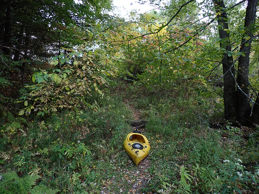
Starting at Pine River Park
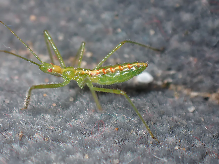
A friendly assassin bug nymph seeing me off
Not sure what this is
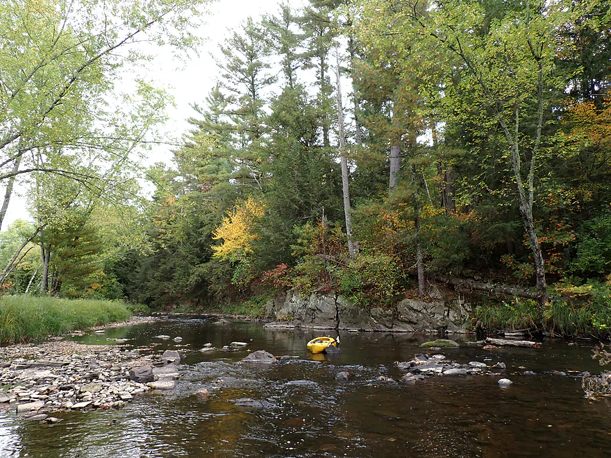
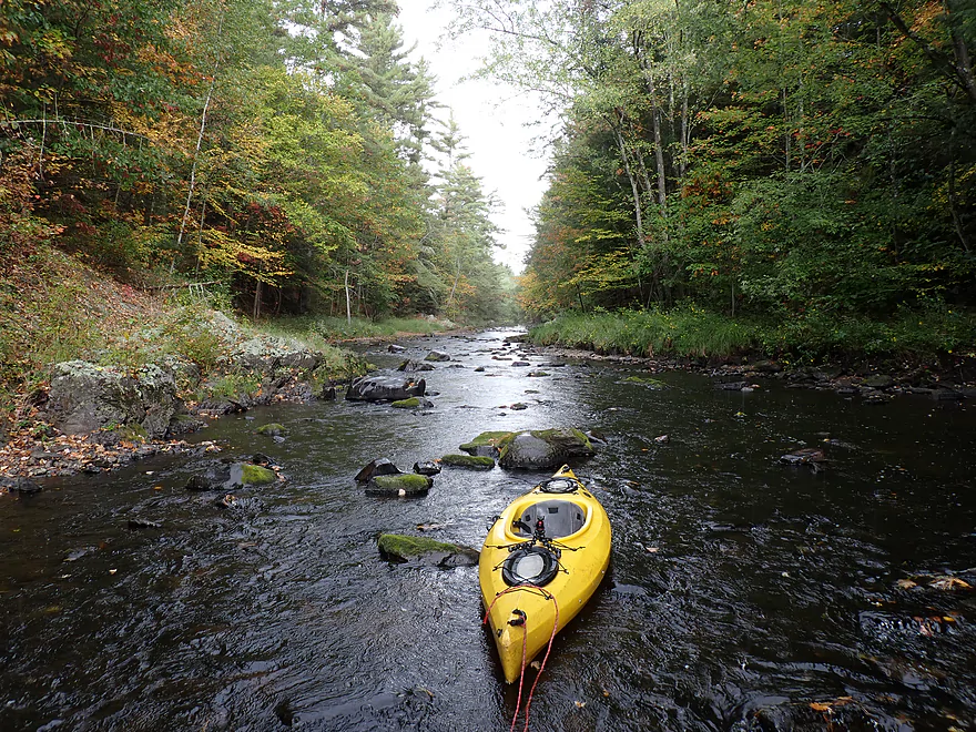
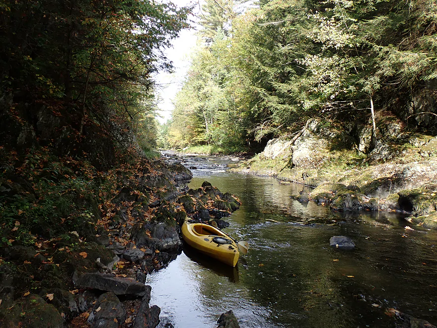
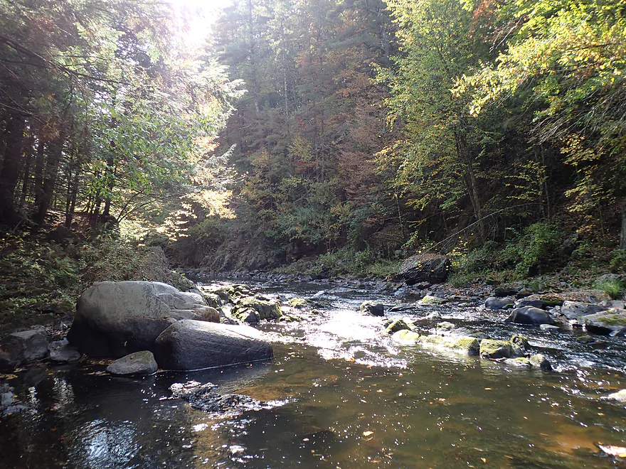
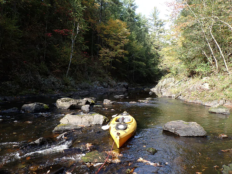
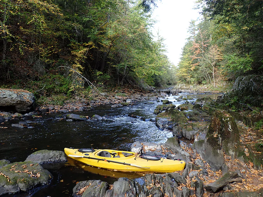
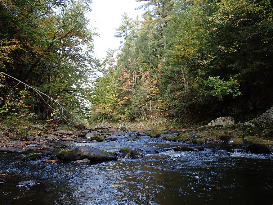
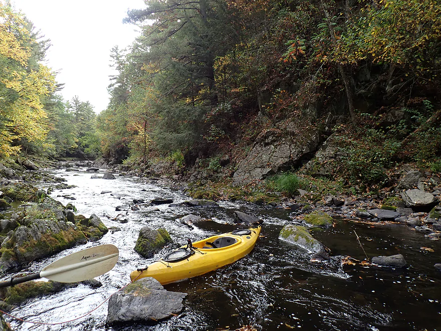
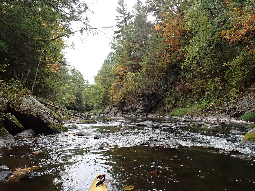
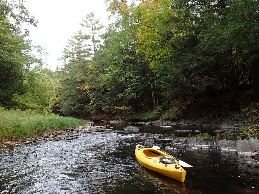
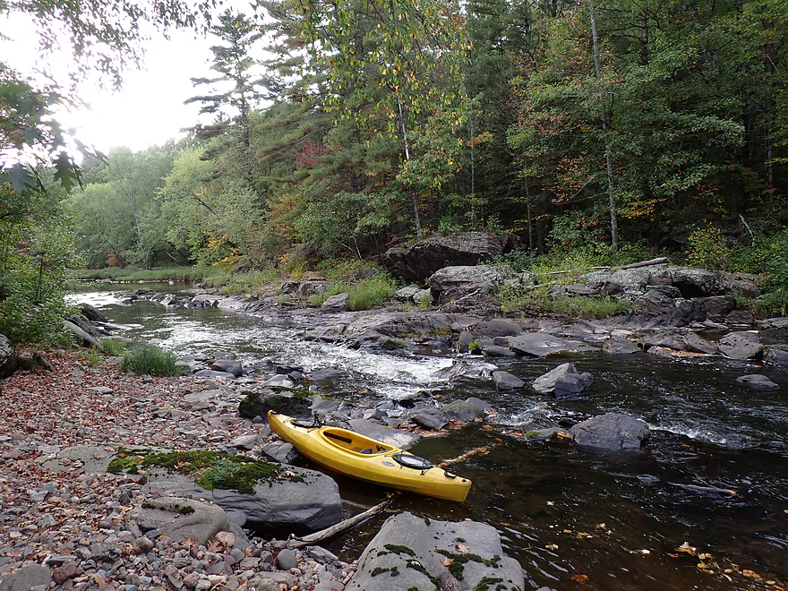
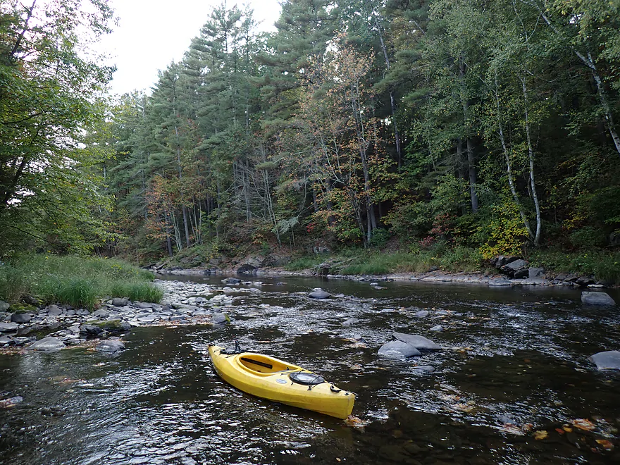
Lots and lots of shallow riffles
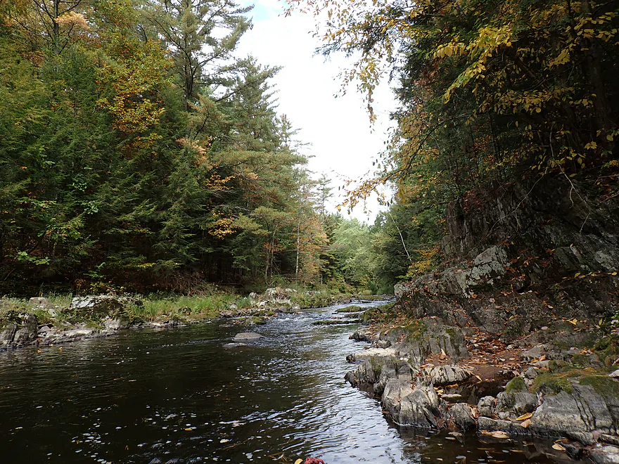
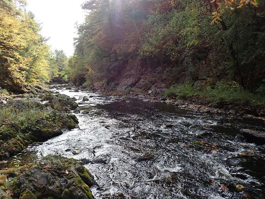
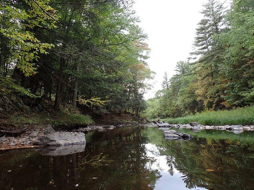
Great scenery
Some unfortunate logging
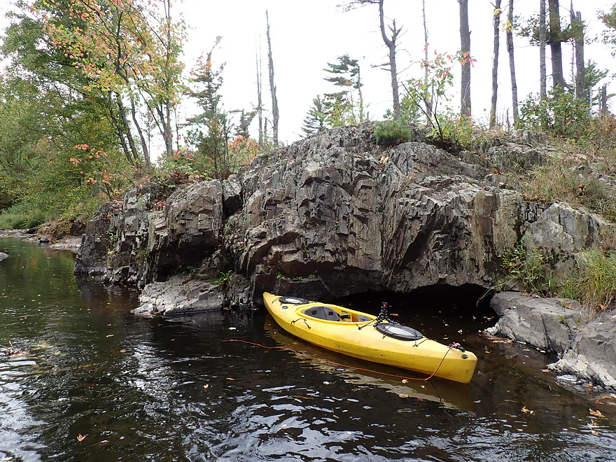
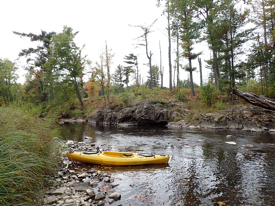
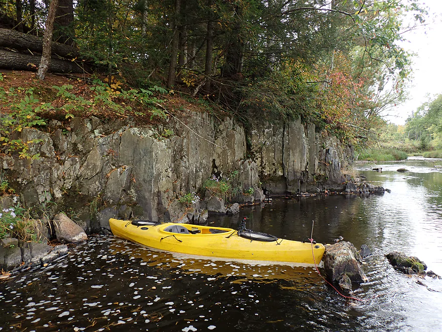
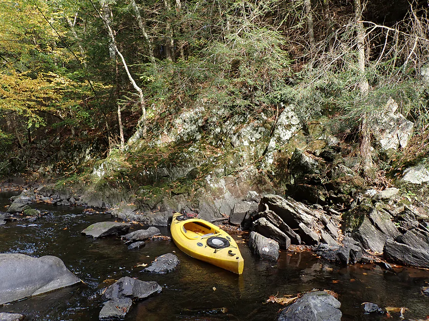
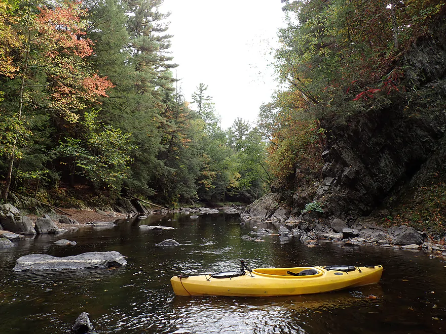
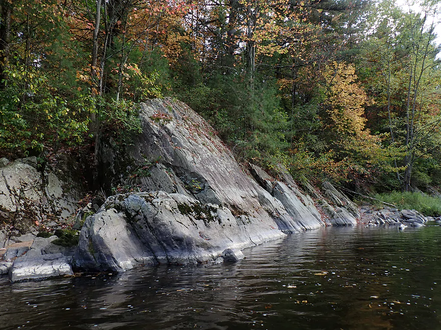
Nice outcrop though
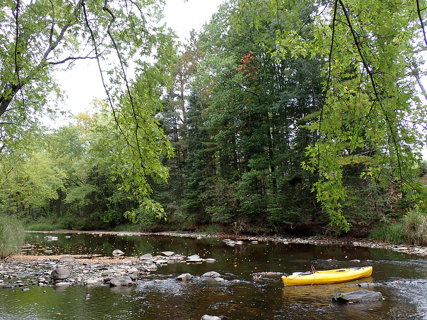
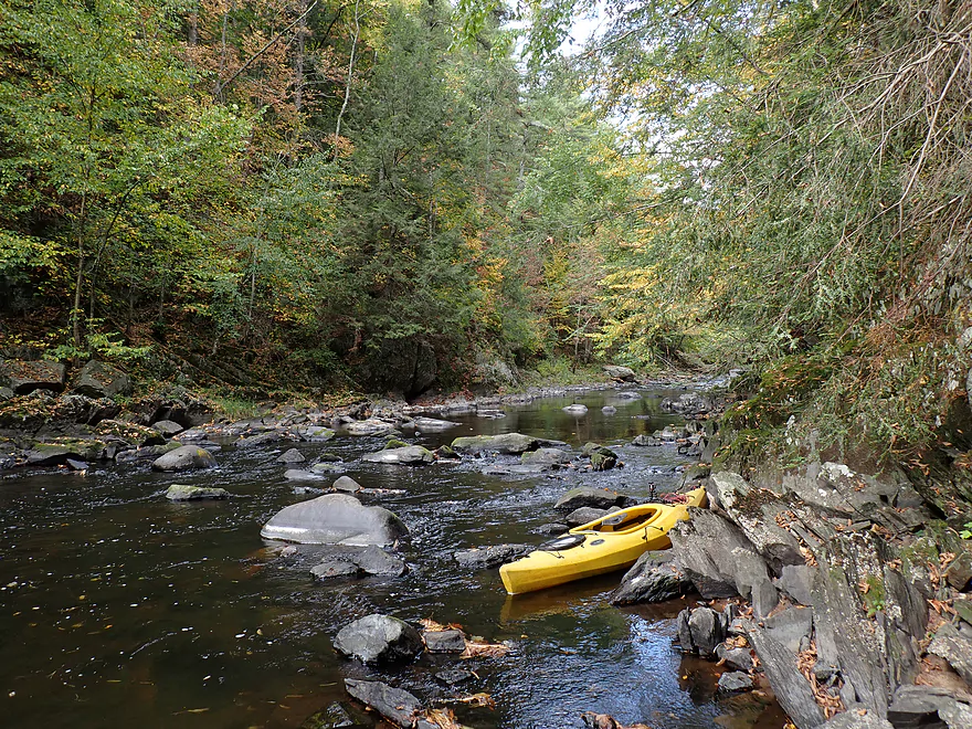
Reverse view
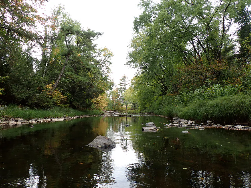
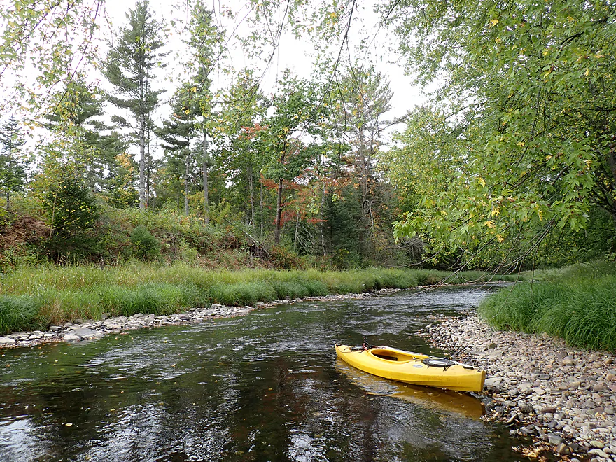
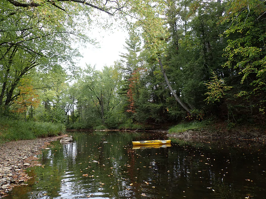
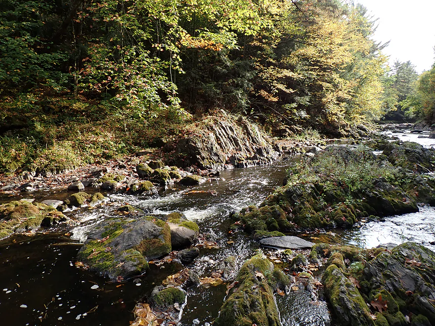
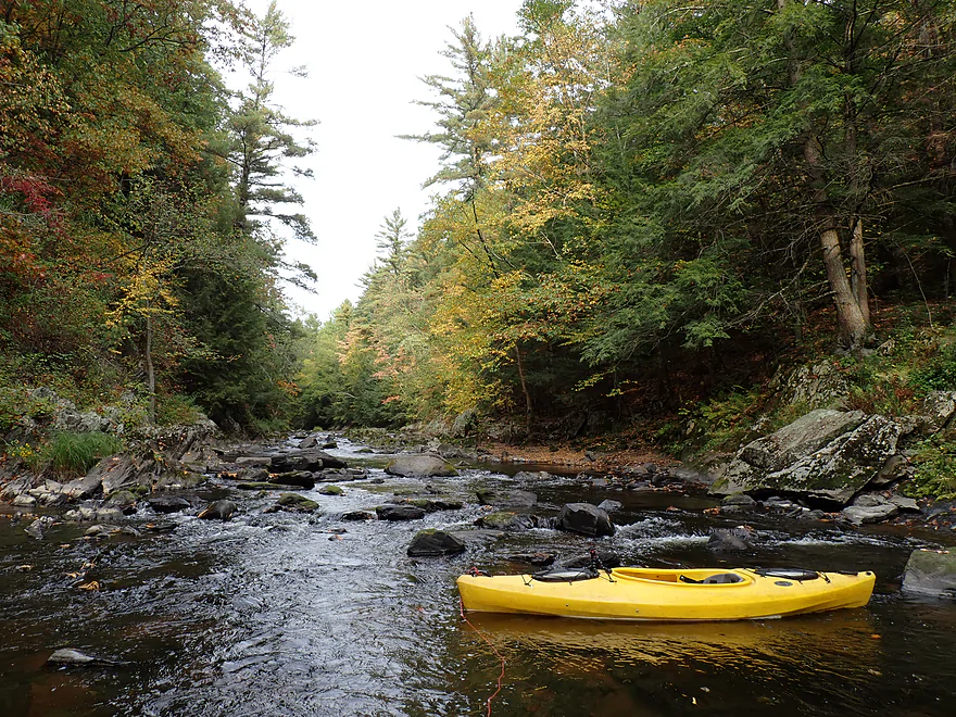
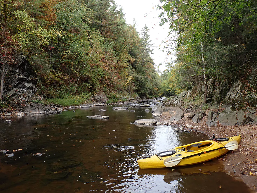
Attractive river bend
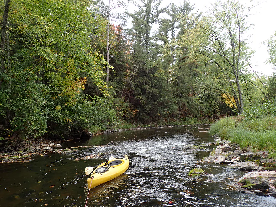
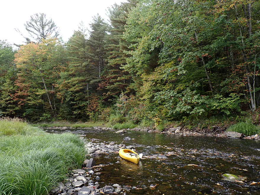
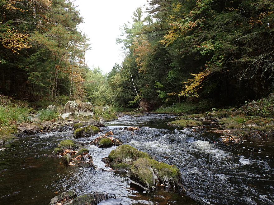
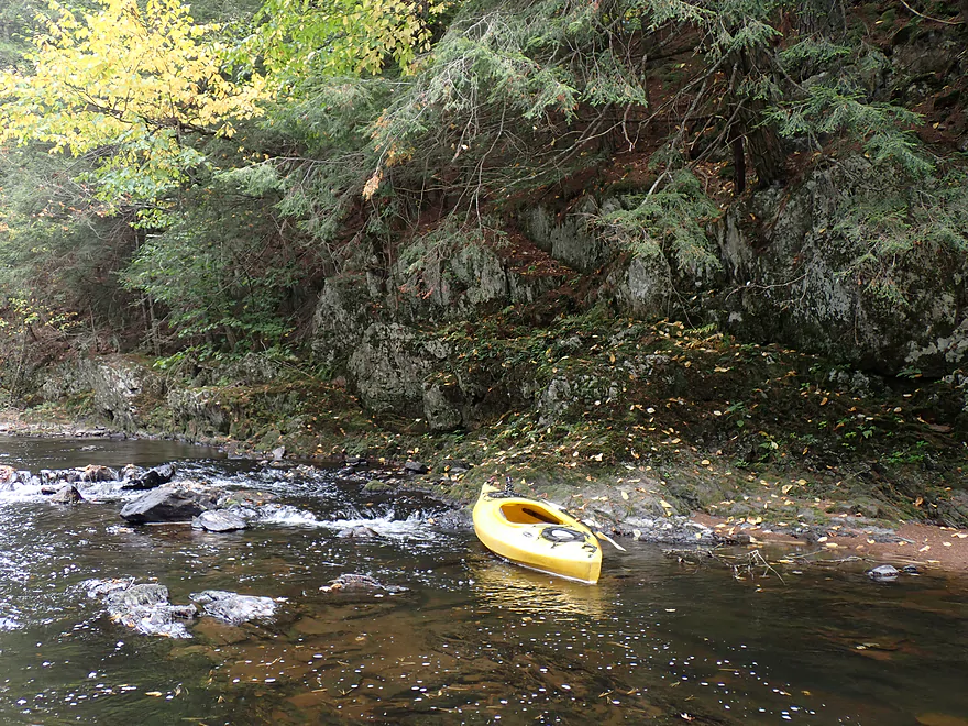
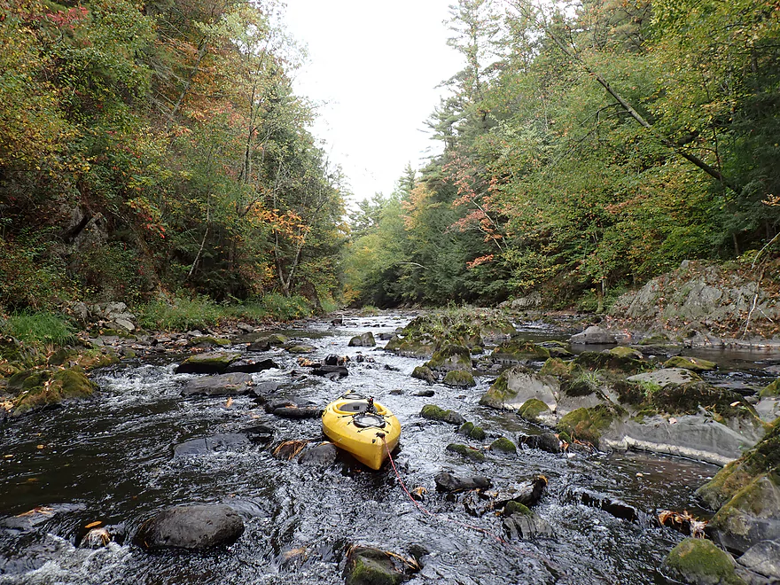
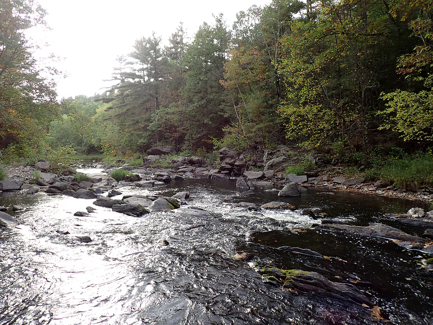
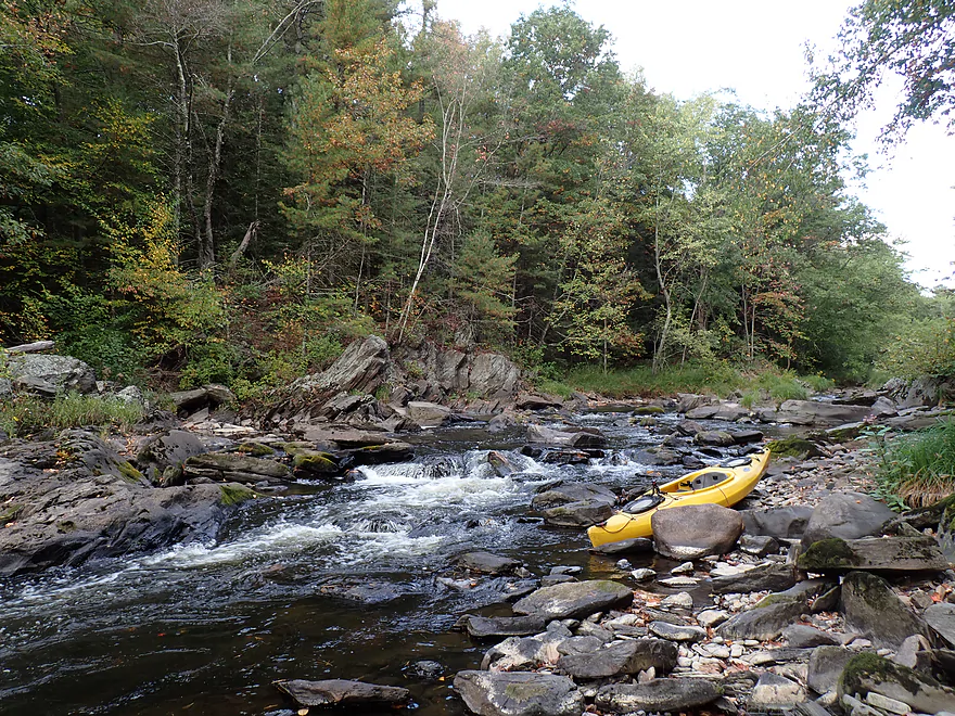
First noteworthy rapids
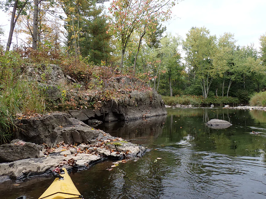
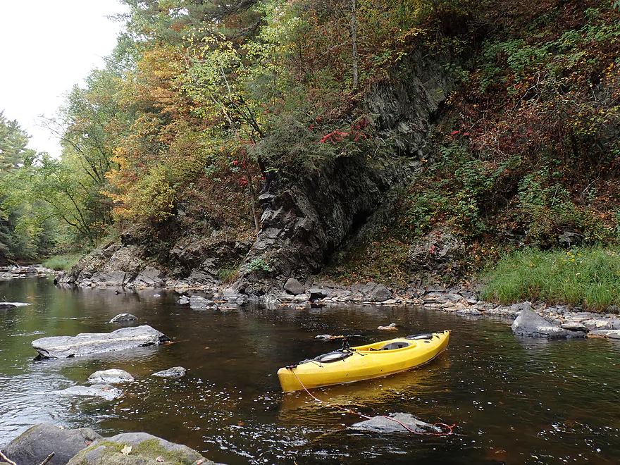
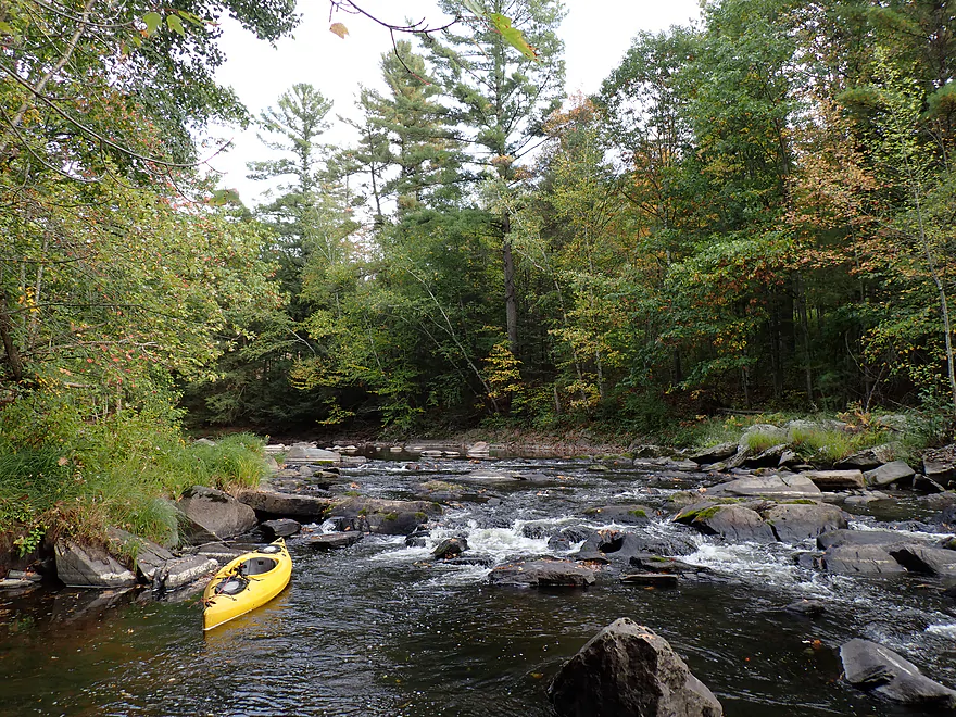
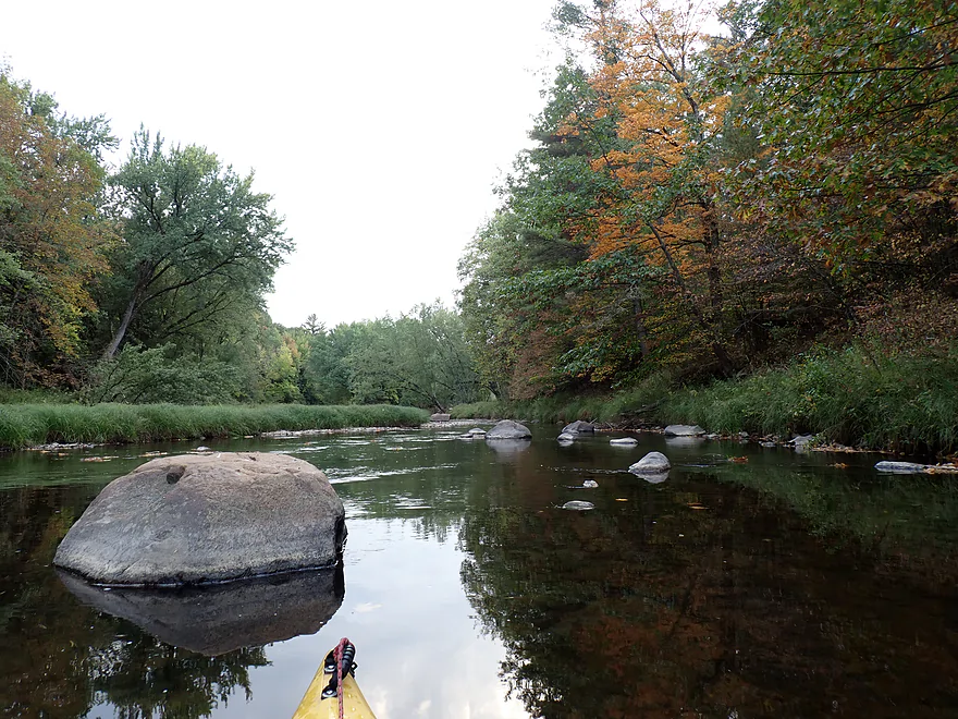
More cool rocks
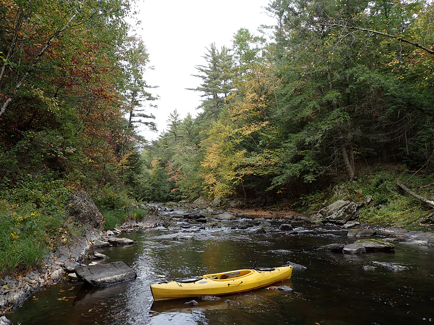
Reverse view
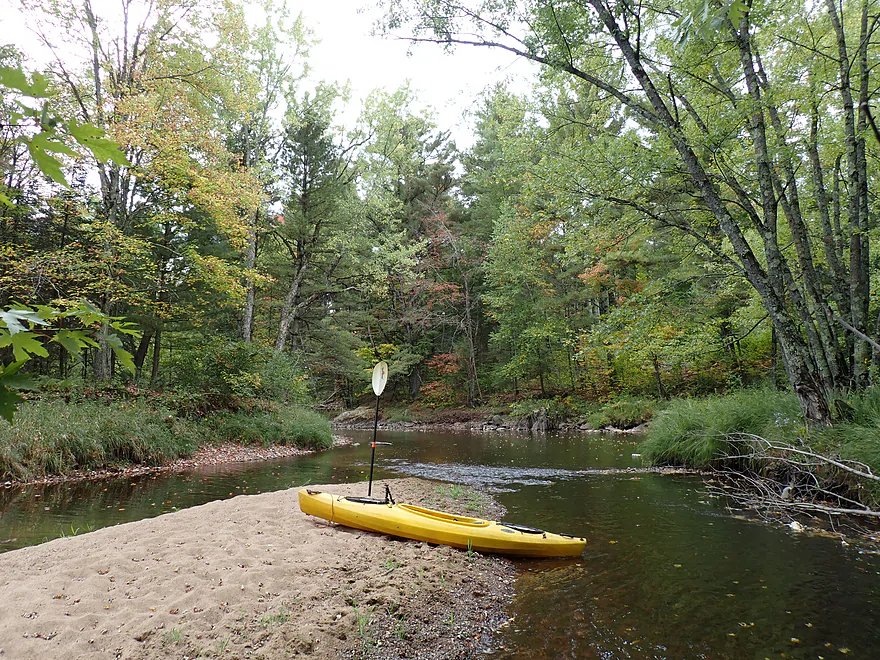
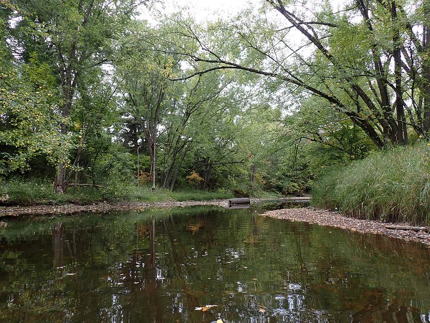
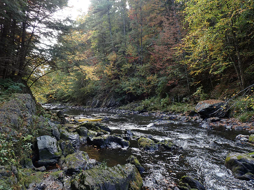
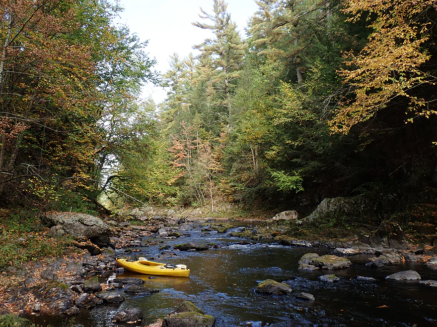
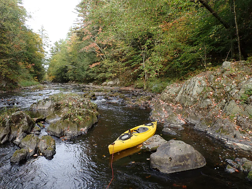
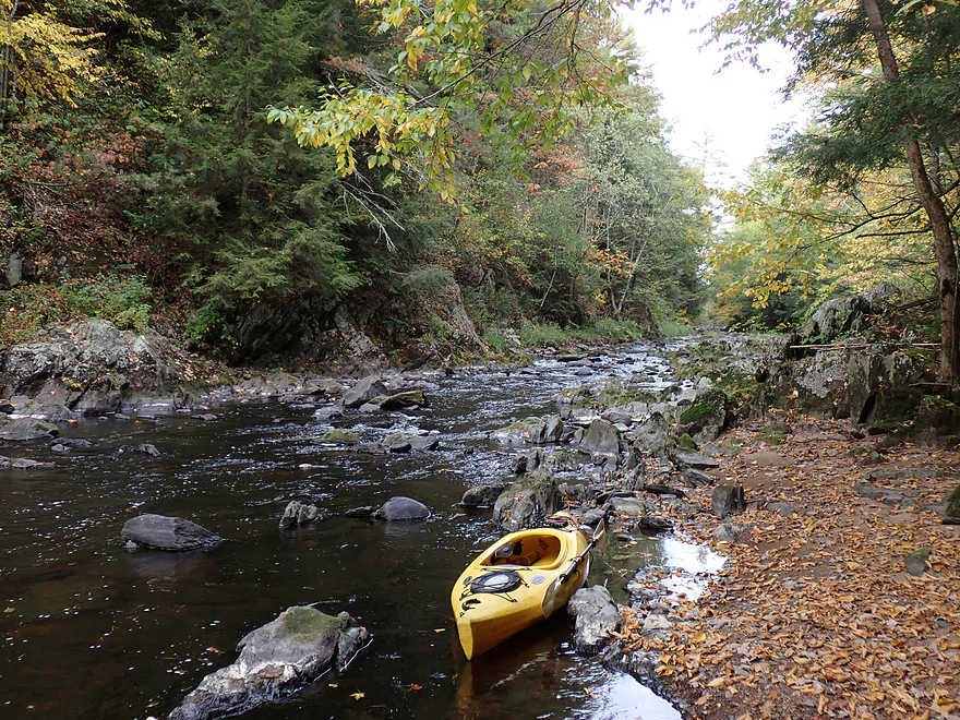
Surprise sandbar
Early fall color
So many leaves floating downstream
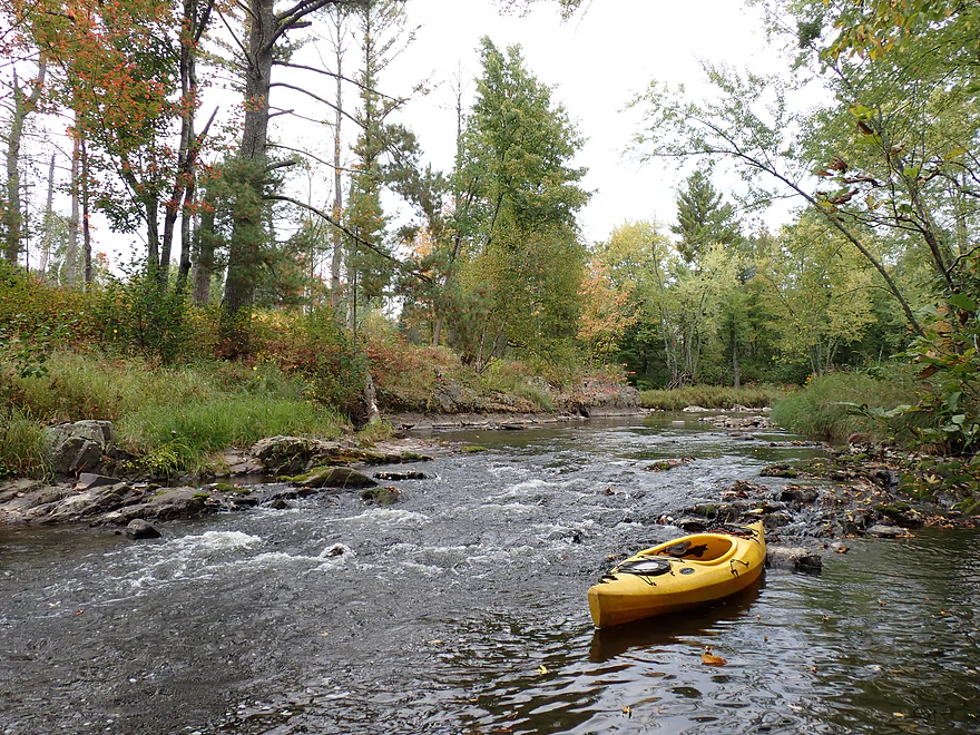
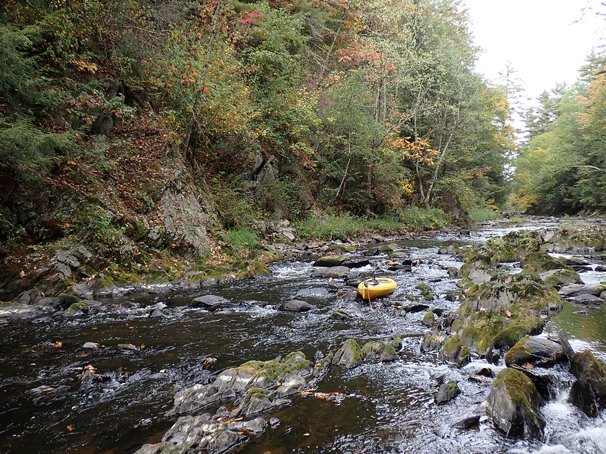
Rapids starting to pick up
Reverse view
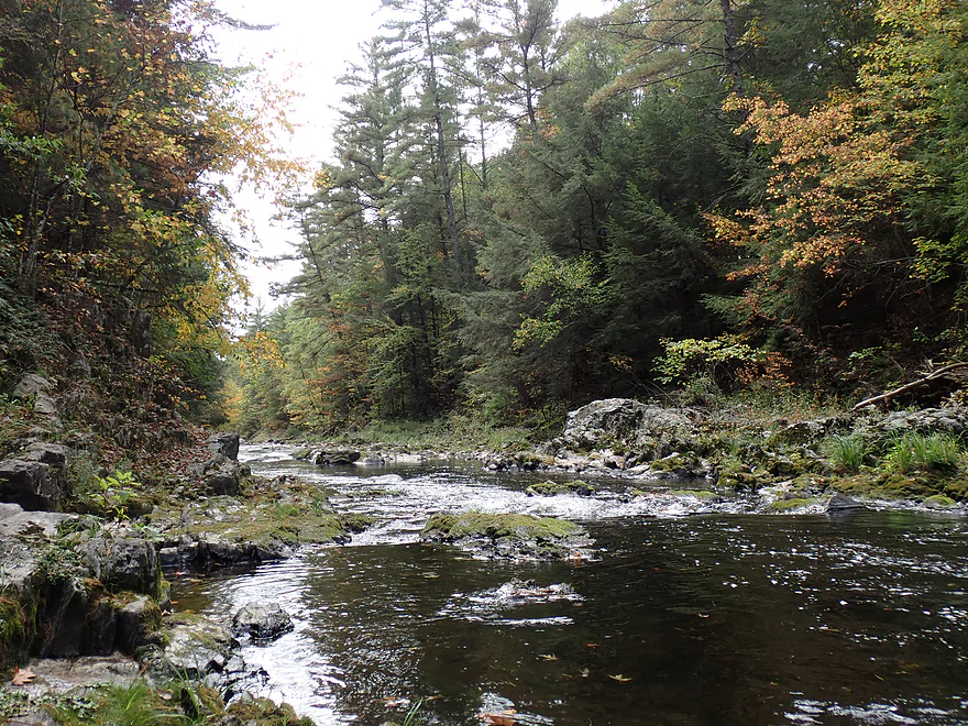
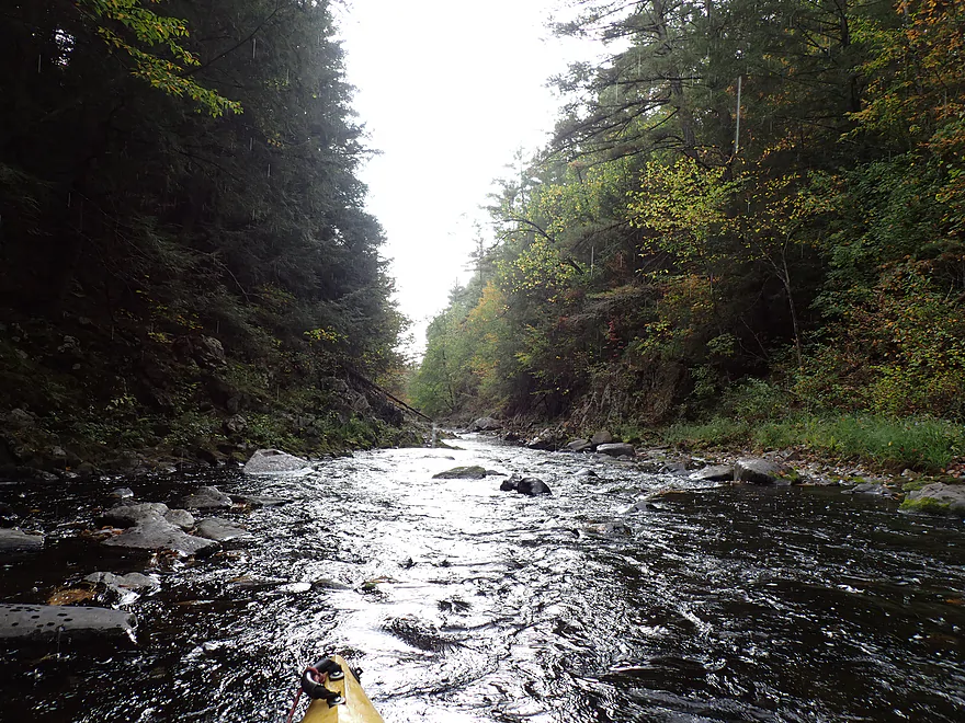
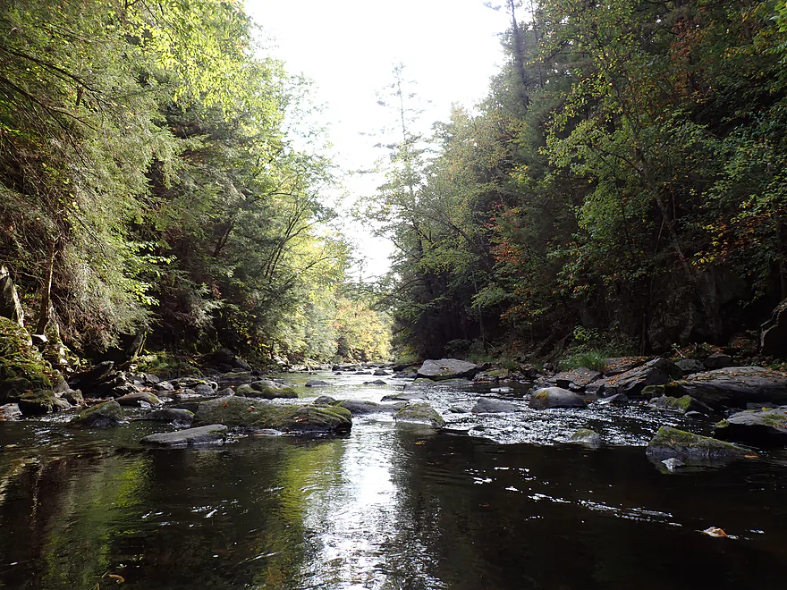
Entering the famous “Pine Dells” gorge
First pitch was rough (but it will get rougher)
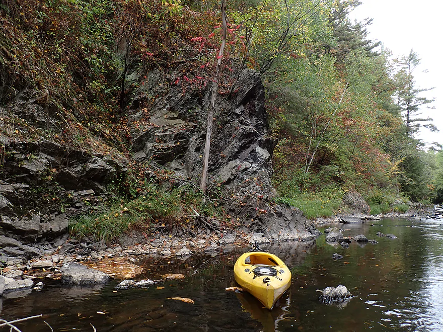
Interesting exposed bedrock
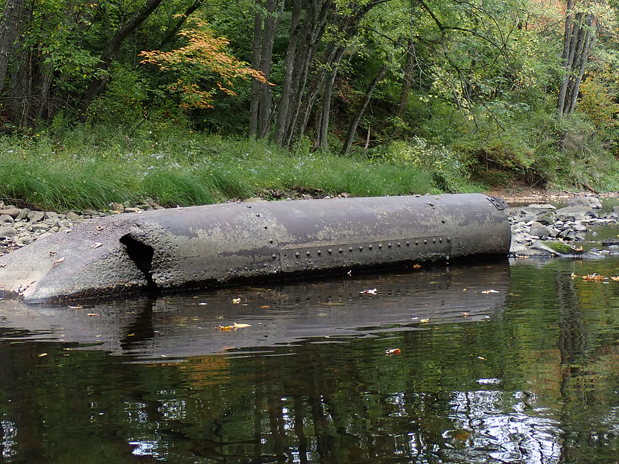
Not sure what that is doing there
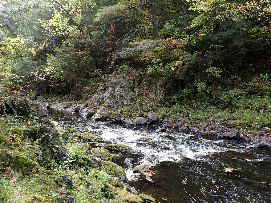
There were a number of attractive outcrops in the half mile-long gorge
It then started to rain
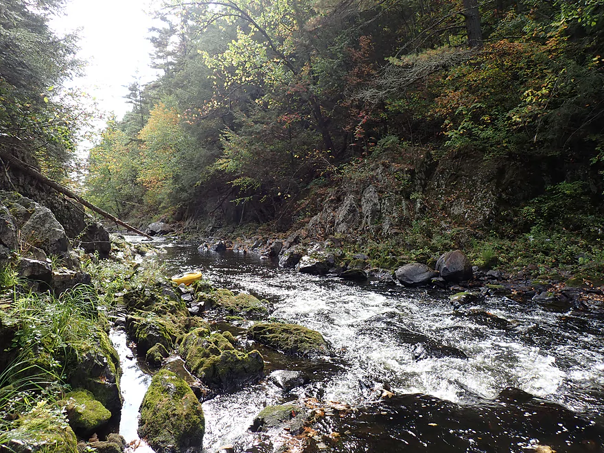
Entering a scenic constriction in the dells
Getting out for pictures
It wasn’t easy paddling through these rapids (river was really low)
Reverse view
The hard, granite bedrock was very jagged and pointy
Entering another constriction
Tricky lighting doesn’t do it justice (reverse view)
More jagged rocks
A third major constriction
One of my favorite spots
The boulder field/rapids start to get rougher
Still nice outcrops
Approaching what I called “Double Dells”
Left channel lacks a clear path (Class 3 in high water with a likely hole)
Reverse view
Right channel is better but steep and rough
What a mess
Nice rock wall at the end
Approaching the last stretch of the Pine Dells
Reverse view
Fantastic boulders
Rugged exposed granite
And that will do it for the “Pine Dells” and gorge
River remains scenic though
Still some rapids
Approaching “S-Turn Rapids”
First pitch turns sharply right
This is a Class 3 in high water…I portaged
Second pitch turns sharply left and is even stronger
Reverse view
Favorite outcrop of the trip
Reverse view
River stays scenic
But starts to calm down
The take-out at County Road W
A faint path leads to the road
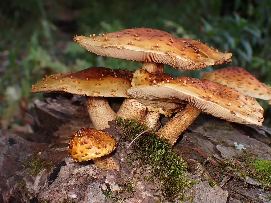
Cool mushrooms
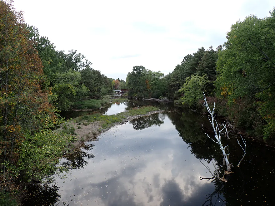
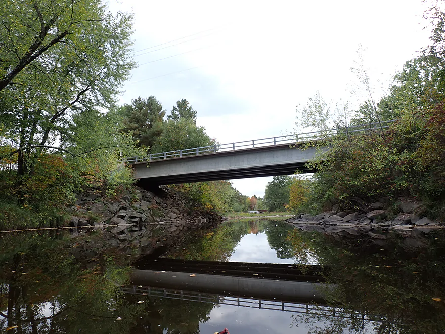
View from the bridge (Wisconsin River is just beyond the railroad)
Pine River – Lincoln County

The Pine is a small tributary to the Wisconsin River located north of Wausau. It’s popular with local whitewater paddlers who enjoy its frequent rapids. I’ve wanted to do it for a long time, but it’s a Goldilocks river (often too high or too low…rarely just right). Tired of waiting and hoping to catch some nice fall color, I decided to just go for it this week despite suspecting (correctly) it would be on the low side.
There are several stretches that paddlers can explore on the Pine, but most choose to do the final and most popular leg on the river (between Center Road and County Road W). It’s not a long trip, at just 2+ miles, and paddlers could certainly tack on bonus miles by starting further upstream or taking out downstream on the Wisconsin River if preferred. I started at Center Road where there was a convenient and inviting public access (Pine River Park).
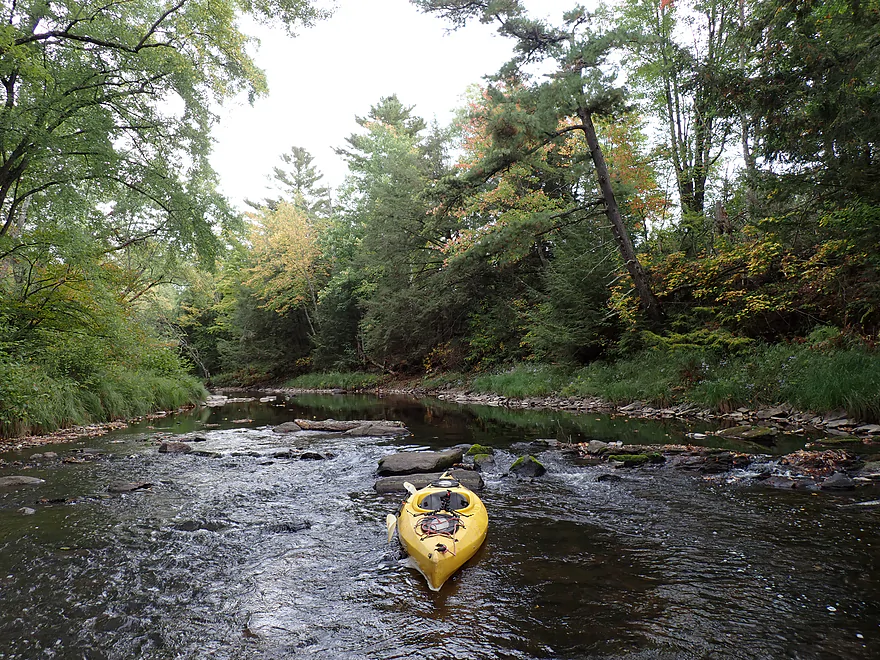
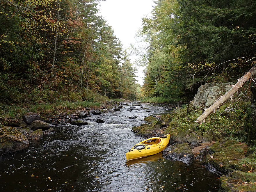
The first mile+ (first half) was the tame part. Here the river alternated between pools and micro-rapids. Because river levels were llow, I often had to get out to wade the riffles. But this was a good excuse to take pictures of the amazing boulder gardens, fall color, and gravel bars.
Another highlight were a few granite outcrops, which reminded me of the East Branch of the Black River. Often the river was “walled in” and flanked by towering white pines and firs which were incredibly scenic. Sadly, in a few spots (especially by the first major outcrop) there was evidence of heavy recent clearcutting.
A sandbar roughly marked the halfway point in the trip. Shortly after that the river transformed dramatically as it entered a half mile-long ravine sandwiched between two steep bluffs. If you look at a relief map it looks like a blowtorch just cut through one hill, splitting it cleanly in half. In the gorge, the channel is flanked by steep walls and often granite cliffs up to 30′ high. In several instances rock walls flanked both shorelines at the same time, thus earning the “dells” moniker.
The channel itself was rocky and rough with large boulders and exposed bedrock almost 1.8 billion years old. Rapids were almost continuous in the gorge and this very section is what makes it so popular with whitewater paddlers.
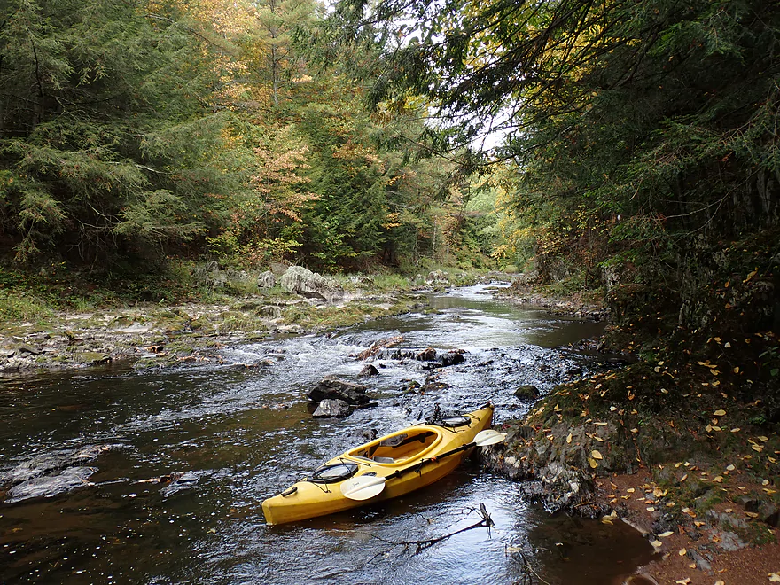
Unfortunately, because water levels were low, I had to “bump” down most rapids and wade other parts while leading the boat carefully along with a rope. Careful consideration had to be used in deciding where to step as the underlying volcanic rock/granite created jagged underwater “mountains” you didn’t want to step on. Wading wasn’t the end of the world, as I had good wading boots on, but it was slippery in spots.
In a sense the shallow water portages were a hidden blessing, as it offered me a chance to take pictures of the extraordinary scenery here, which has rarely been photographed. Accessing the gorge by land would certainly be difficult because of private property and steep banks, so a kayak is really the best and maybe only way to see “Pine Dells”.
It started to rain at this point, and unless I was imagining things I actually thought the river started to rise a bit while I was paddling it. The gorge got progressively faster, rougher, and more scenic the further down I went. Near the end I encountered what I’ll dub “Double Dells Rapids” (Class 3). Here a rock island split the river in two (sort of creating two dells).
American Whitewater warns of a sticky hole in the dells and I think this was the very spot they referenced. The left channel flows into a rock pile with an awkward exit back right to the middle. If you see a rock island, I believe you should stay right the entire time (but that is a bit tricky as that too is steep and rocky).
After the long gorge/dells, the river started to meander again. I thought that would be it for major rapids, but was surprised to encounter another significant pitch. This one I dubbed “S Turn Rapids” (marked on map), and this might have been the trickiest whitewater of the trip, as I didn’t see a clear line through when scouting. But the good news was, this rapids is easy to portage, which I did.
Following “S Turn Rapids”, the river calmed down (relatively) as it approached Cty Rd W, but stayed rocky and shallow. Just beyond Cty Rd W was a railroad bridge and I could almost see the mouth at the Wisconsin River through a gap in the trees, but I didn’t feel the need to be a “completist”, so I decided to call it a day. While the bank by Cty Rd W is steep, there is a small but convenient path along the southeast corner that you can use to reach the shoulder.
In summary, this was a great trip and one of the most scenic of the season. However, it won’t be for everyone. With some legit Class 3 rapids and steep walls that would make eddy breaks and/or rescue difficult, this isn’t a trip for beginners (especially those without life jackets or lacking in Class 2+ whitewater skills). During high water the river can get pushy and unforgiving. Granted, I don’t want to be too hyperbolic about the risk, as locals often kayak and enjoy this stretch, but you should be careful.
The other more common extreme is the river being too shallow. I suspect most would go crazy dealing with the shallow “bumpfest” I dealt with…but it’s only a two-mile trip. If you have good wading boots, a boat that can get scratched, and rope…this might be a safer way to explore the gorge (even then there are still some tricky spots to get past). I took lots of pictures and video so you can judge for yourself. I will end on this positive note though…at least the river was much deeper than last week’s trip on the Lily River!
I didn’t see much. Just one eagle, some small minnows, and a handful of crayfish.
Pine River Park: Located by the Center Road bridge, this is a good public access.
Alternate Put-ins:
- Hwy 64 (4.2 miles upstream from Pine River Park): While not having the scenery or rapids of the downstream leg, this should still be a pleasant stretch with attractive wooded banks.
County Road W: The bank by the bridge is steep. But there is a somewhat hidden path along the southeast corner you can use to reach the shoulder.
Alternate Take-outs:
- Wisconsin River Forest Landing (3.7 miles downstream from County Road W): If you wish, you can continue a few miles downstream on the Wisconsin River, which would be a nice stretch.
Bike Shuttle – County Road W to Pine River Park: 4.0 miles with 112′ of ascent. This isn’t a difficult bike shuttle, but note….you need to shuttle west of the river, not east. The east route is a roller coaster.
Logjams/Low Bridges/Dams: None.
Current: The river alternates between small pools and shallow riffles.
Rapids: Before the gorge there are only riffles and minor Class 1 rapids. The main feature is the half-mile long gorge/dells where there are nearly nonstop boulders and rapids. The strength of these pitches will depend greatly on water depth, but I would classify them as mostly Class 1’s and Class 2’s.
There is one spot I dub “Double Dells” which I considered a Class 3. Here a rock island splits the river in two. The left/east channel flows into boulders, forcing an awkward redirect back to the right. American Whitewater warns of a hole in the gorge, and I think this is the spot. You can paddle right of the rock island, but that too is a bit difficult, as there is an awkward descent down irregularly placed boulders. This is marked on the map and referenced in the video at 3:06.
The second Class 3 is shortly after the gorge, where the river makes a sharp right, then sharp left (“S Turn Rapids”). This is deceptively difficult because it requires tight turns though a dense boulder field to get through. Scouting and portaging along the left bank is a good option. This is marked on the map and referenced in the video at 3:52.
General Advisory: The gorge is deceptively more dangerous than it looks. There are few eddy breaks and the steep walls would make rescue difficult. Paddlers should have some whitewater experience/competency before doing this trip and should wear their life jackets. Paddling in a group is highly recommended. Giant waves will form in high water. The following is a quote from paddling author Rick Kark:
Three years later Bob and I led another trip which included the Dells of the Pine. The water was so high that the usual Class II run had risen to a III. Giant waves tossed us around and we had to dodge some massive holes! One canoe flipped but the rest of us managed to stay in our canoes and catch the eddy on river left before the biggest drop near the end. We rescued the swimmer and then scouted the final pitch. The consensus was that a strong move to the left was needed to miss the giant waves on river right. We all did it successfully.
Gauge: Big Eau Pleine River @ Stratford
Trip Depth: 10 CFS or 2.3′
Navigability Estimates: It is important to paddle the Pine when it is not too high or too low…yet it has no gauge. So there will always be guesswork involved. I think the best analog gauge will be the Big Eau Pleine River, but this is located about an hour to the southwest, so may not be accurate. The following are only VERY rough estimates.
- 0-60 CFS: Too bumpy/shallow…unless you’re ok with a lot of wading.
- 61-200 CFS: Bumpy but maybe viable for shallow-drafting boats. Dodging some boulders might be tricky.
- 201-600 CFS: Maybe a good target range for good whitewater paddlers.
- 601-1500 CFS: Very high depth. Strong waves and holes might form.
- 1501+ CFS: Extremely high depth. I suspect at this point though the high water might “wash out” some holes and waves making the river easier in spots…but pushier and less forgiving in other areas.
There are other gauges you can reference. The Spirit River gauge for my trip was at 12 CFS. Maybe a good target is to wait for 25 CFS? The Prairie River is next door and is what American Whitewater references but IMO the Prairie isn’t a good analog because it is so much bigger and has a wider watershed (the Pine drains fast after a rain). Per the Prairie gauge I did the trip at 80 CFS.
Click here to see an overview map of the Pine River.
- Upstream from County Road X: I don’t know much about the far upper parts of the river. I suspect it’s very small and navigability could be a challenge.
- County Road X to Cain Creek Road/Town Hall Road Ford: 3.3 miles. Paddling author Frank Piraino suggested this was a challenging leg due to its small size and shallow water. The river becomes significantly larger (and more navigable) after the North Branch joins up.
- Cain Creek Road/Town Hall Road Ford to Hwy 64: 4.4 miles. Not as rocky as downstream legs. Should be nice though with wooded banks and a few minor rapids.
- Hwy 64 to Pine River Park: 4.2 miles. While not as special as the subsequent “Pine Dells” leg, this should be a pleasant stretch with some light rapids and decent scenery. Paddling author Frank Piraino notes that the Hwy 64 bridge is not an ideal access (but IMO it seems doable).
- Pine River Park to County Road W: 2.4 miles. The most popular stretch on the river. Highlights include extraordinary scenery, woods, boulder gardens, and the “Pine Dells” (a half-mile long granite gorge). Frequent rapids make this difficult to time, as it is often too shallow or too strong. There are two Class 3’s that need to be navigated carefully.
- County Road W to Mouth: 0.3 miles. A short, shallow stretch with a few islands and a railroad bridge.
- Mouth to Wisconsin River Forest Landing: 3.4 miles. Likely a pleasant stretch on the Wisconsin River.
Trip Map
Overview Map
Video
Photos Size: