
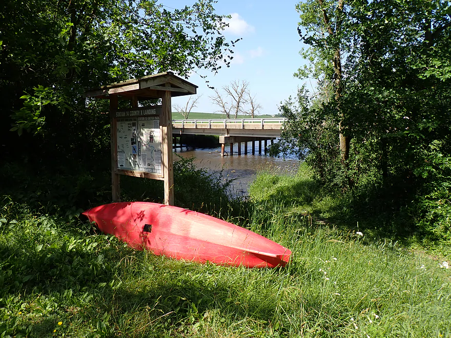
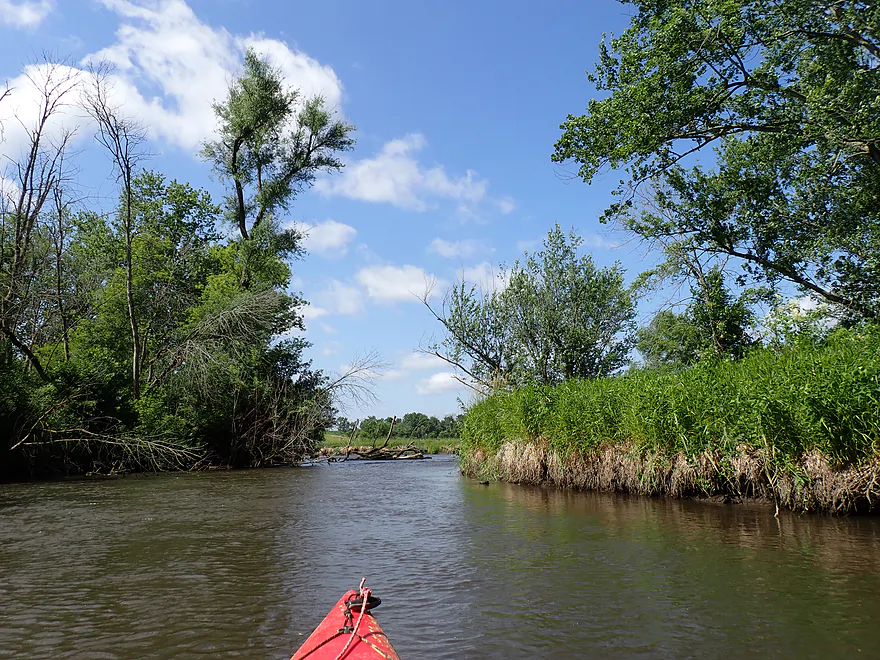
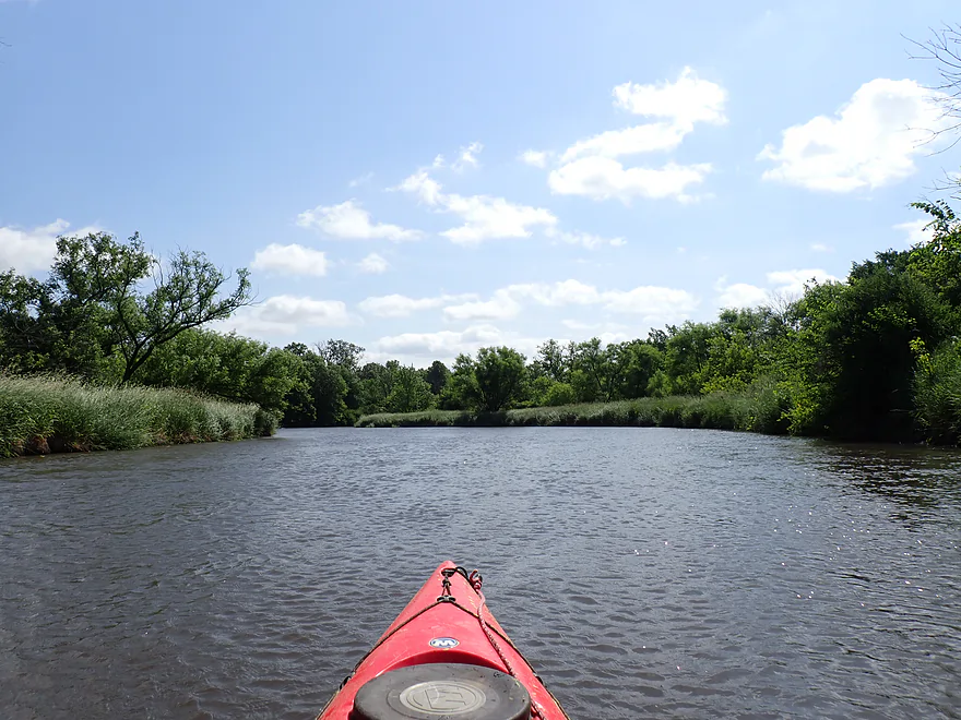
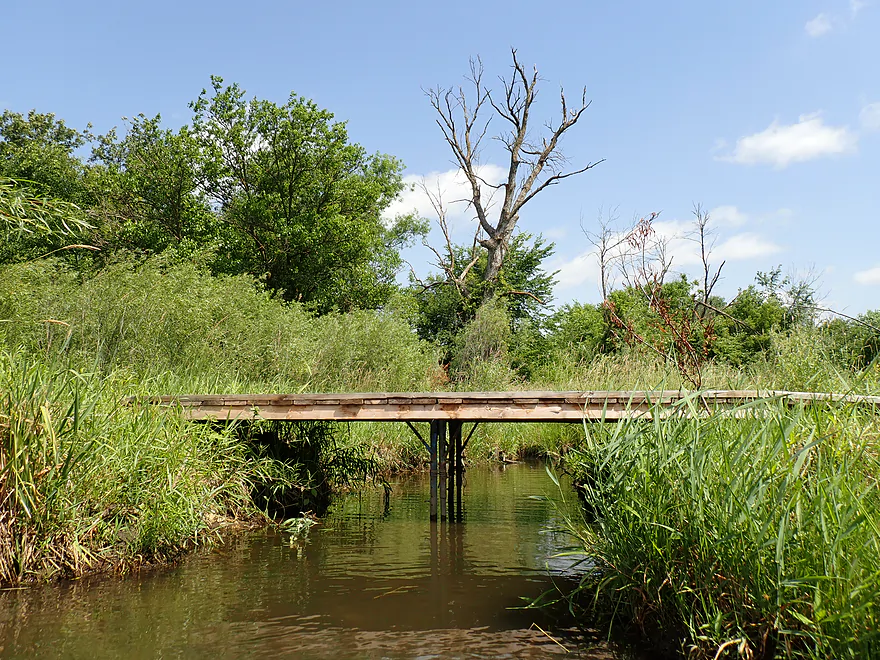
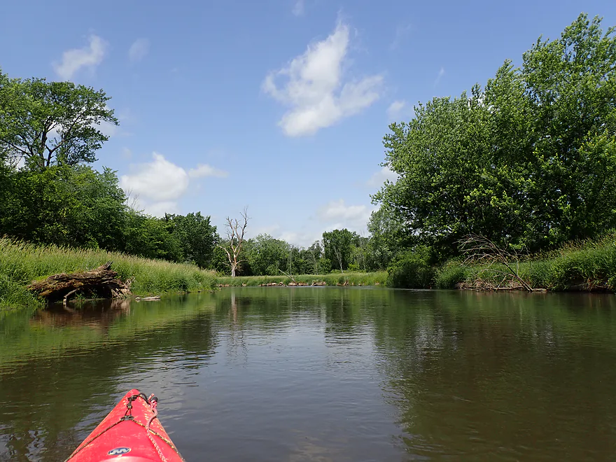
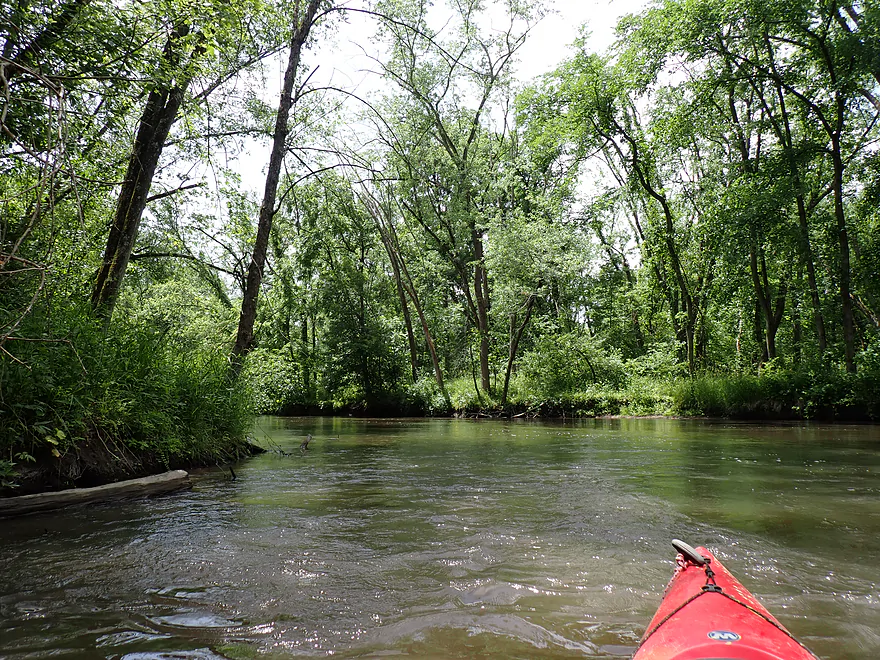
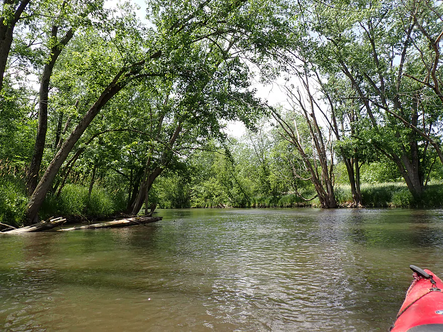
Starting the trip at the Hwy X landing
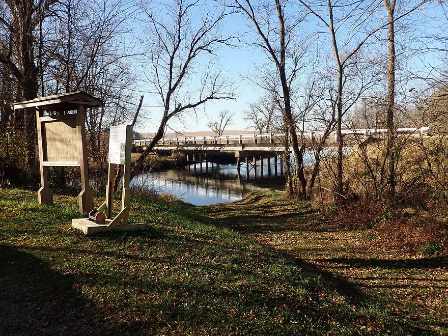
Same view but in November
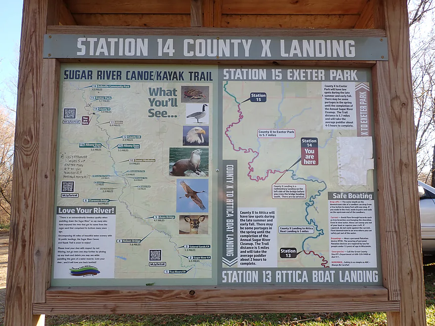
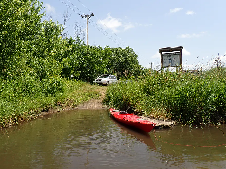
Cool water trail sign
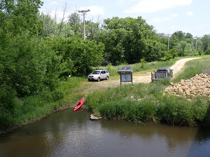
Reverse view of landing (November)
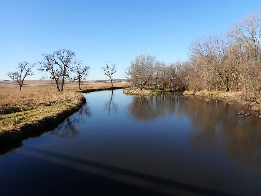
Looking upstream (November)
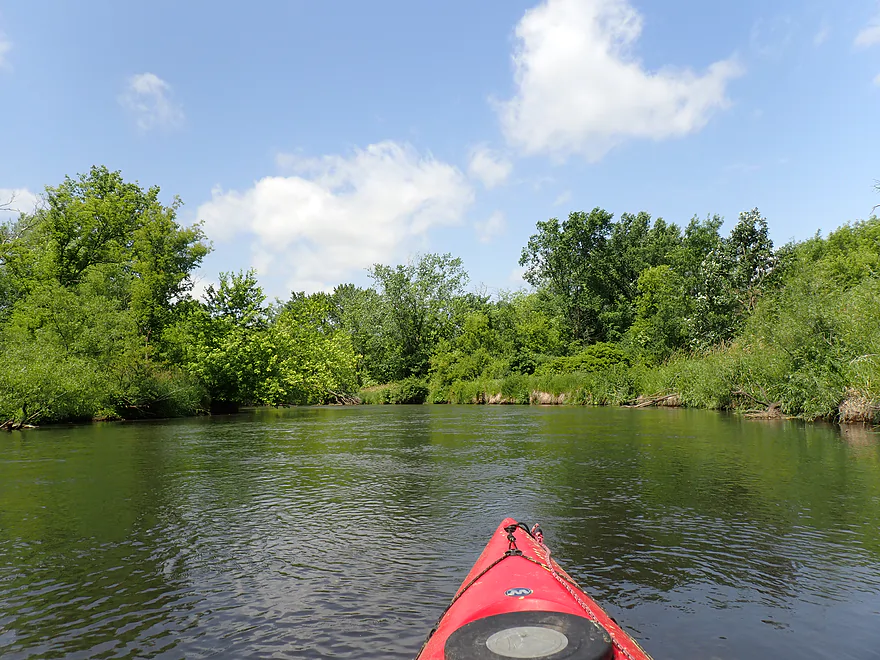
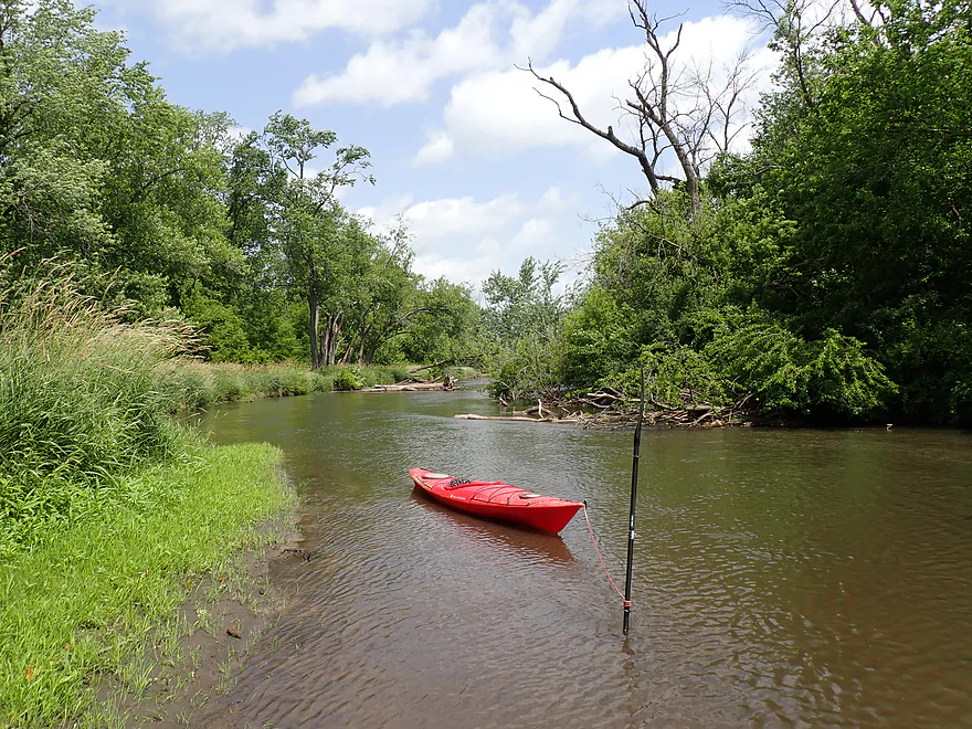
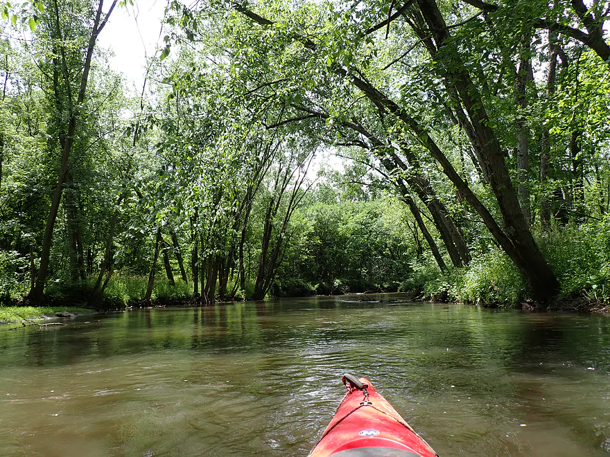
Back to the present and paddling past tall weedy banks
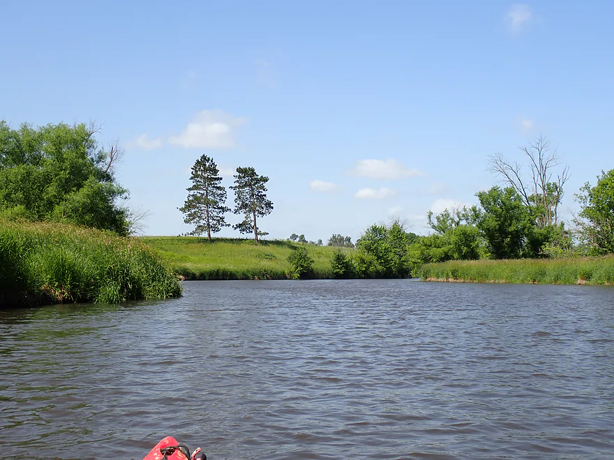
Nice pastoral scene
Not many hills on this trip…but a few
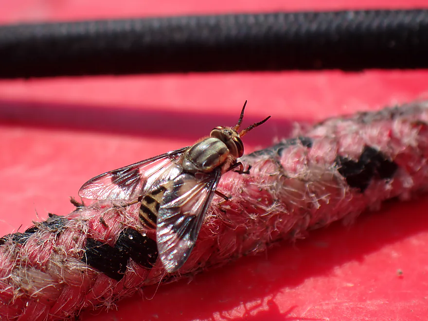
Friendly hitchhiker
Side creek enters the river
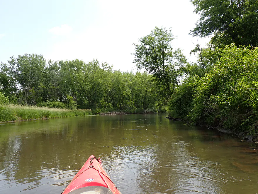
Mostly turbid water
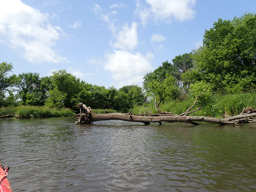
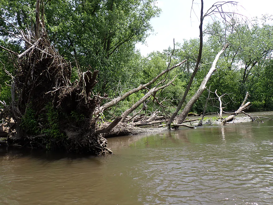
Some trees down, but always a way around
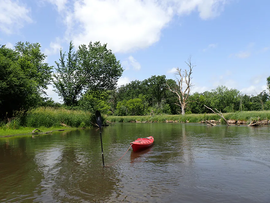
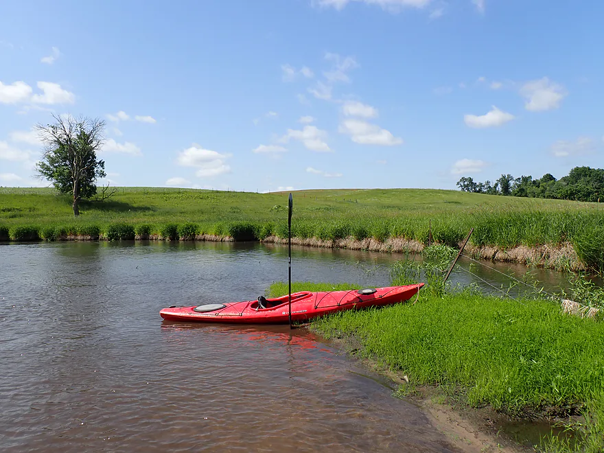
Getting out for a picture
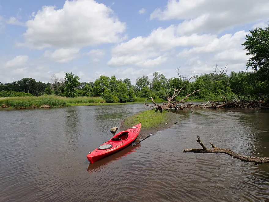
A few mud bars
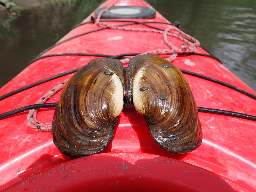
A “Giant Floater” (type of a clam)
Nice bend in the river
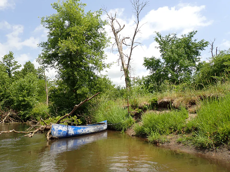
A random canoe
A rare hill
???
???
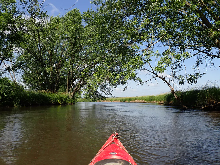
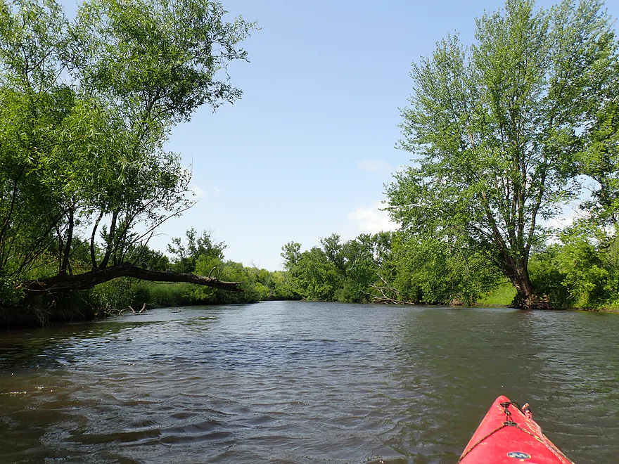
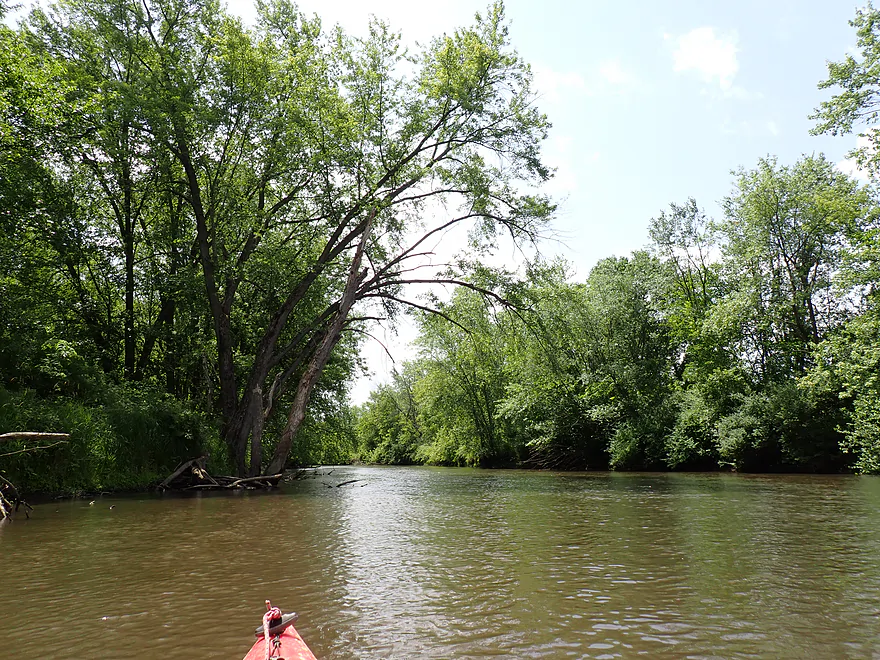
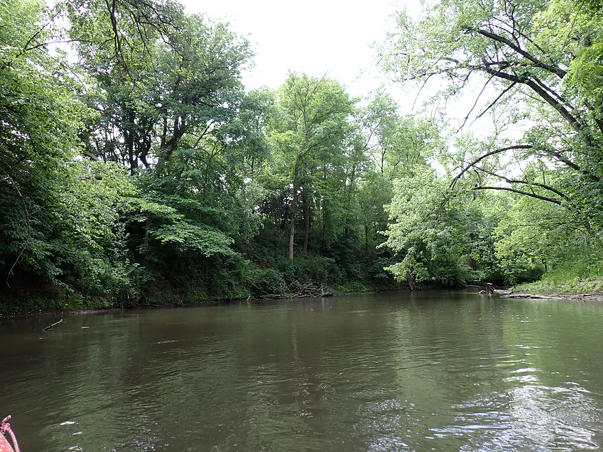
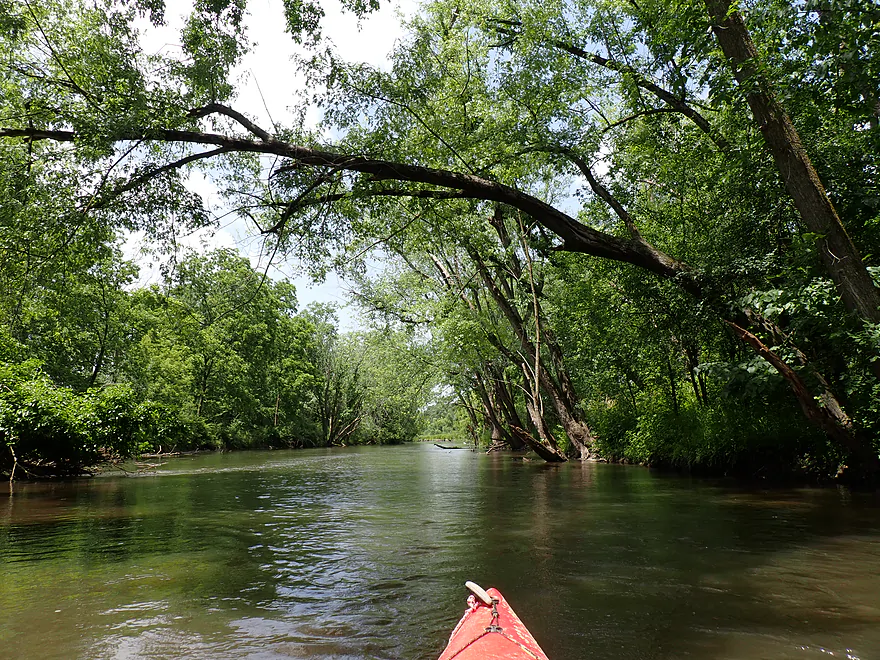
Entering a nice wooded section
Bit of a tree canopy
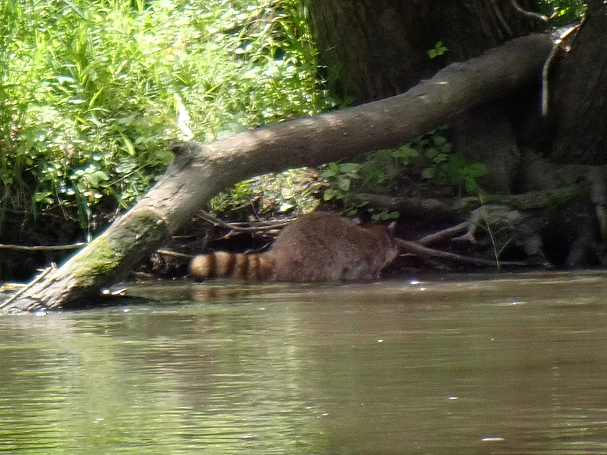
Surprised to see a bushy striped tail in the bank
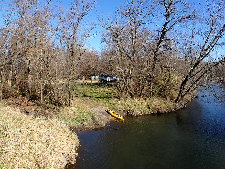
Taking out at the Attica Hwy C Access
Great take-out
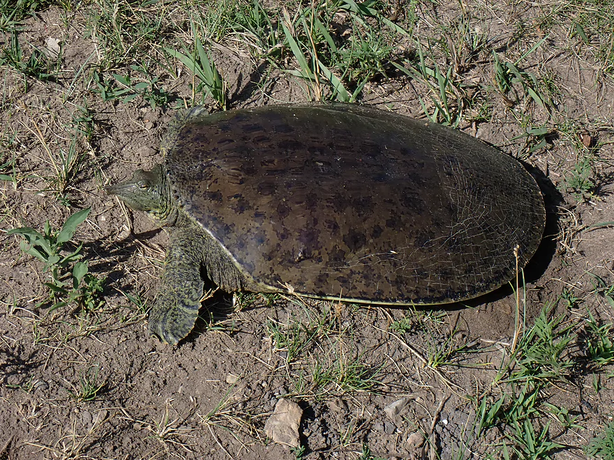
A large softshell turtle guarding the landing
Sugar River – Hwy X

Starting near Madison and flowing south into Illinois, the Sugar is a classic South Central Wisconsin paddling trail. Its best and most popular legs are by Paoli, Albany, and Belleville respectively. The other river stretches aren’t as nice, but aren’t bad paddles either. Just north of Attica is one of those “tier 2” stretches and it is what I wanted to explore for this week’s paddle. .
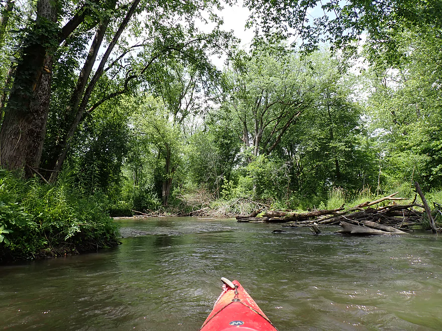
I started the trip at Hwy X, where there was a terrific public put-in. The river itself though was a bit disappointing. Along the banks were messy/disorganized scrub trees and thick invasive grasses. The water was turbid despite a lack of recent rain and beneath the typical two-foot depth was a mix of sand and silt.
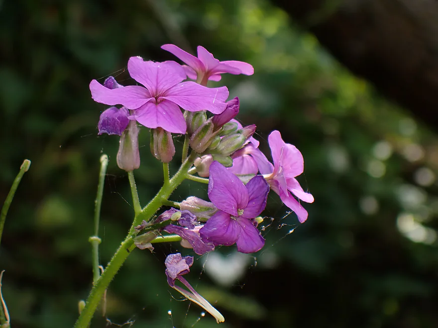
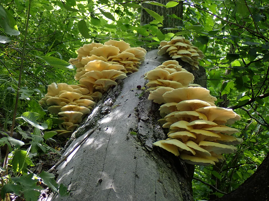
I like taking pictures on kayak trips, but was having difficult time finding inspiring scenes to photograph on this one. I did get out for a few photo ops…but overall, this might have been the least photogenic trip of the year.
It wasn’t all bad, though, as there was little development, the current moved at a good pace, and the cold water felt good (trip was done during a heat advisory). I had feared logjams, but outside of a few minor snags to dodge, there were no problems. Locals do a great job of keeping this part of the river navigable.
The last mile was perhaps the best. Here thick and larger trees hugged the banks and sometimes created attractive canopies over the river. While mostly a flat trip, there were a few riverside hills which appear to be the far eastern boundary of the Driftless Area.
I ended the trip at the Attica Hwy X landing, which was yet another terrific access. The Sugar is fortunate to have so many nice access options for paddlers (thanks to the DNR and the Upper and Lower Sugar River Watershed Associations).
In summary this wasn’t a bad trip, and it was a pleasant float with decent current. But relative to other legs of the Sugar it is one of the weaker and less scenic ones. It should be noted this trip contrasted sharply to the Sugar River trip I did above Hwy X (link). I did that trip in November when it was cooler, less windy and less overgrown…and enjoyed that far more. Regardless, if you’re new to the Sugar, I suggest starting with the Paoli stretch which is much nicer.
Sights included dragonflies, muskrats, one eagle, one great blue heron, one raccoon and a clam shell (“giant floater”). The highlight was a large softshell turtle that was sunbathing at the Attica take-out.
Hwy X: There was an excellent public access located northeast of the Hwy X bridge.
Alternate Put-ins:
- Exeter Park (5.5 miles upstream from Hwy X): Exeter Park is a good public access option. The leg between X and Exeter is pretty nice.
Attica Hwy C Access: There is yet another great access north of the bridge (Sugar River has terrific launch options).
Bike Shuttle – Attica to Hwy X: 2.7 miles with 56′ of ascent. This was a super easy bike shuttle.
Current/Rapids: There are no rapids. The current moves at an ok pace, but is never super fast.
Logjams/Strainers: There were no logjams on this trip. Locals have done a good job of clearing them out. There are a few strainers you want to be careful around…especially if water levels are high.
Closest Gauge: Sugar River @ Verona
My Trip Depth: 56 CFS or 3.09′
Gauge Guide:
- 0-20 CFS: A typical fall average. The river should still be navigable.
- 21-50 CFS: A typical summer average. A good depth.
- 51-90 CFS: Above normal depth, but plenty fine.
- 91-130 CFS: Also above normal depth, but should be fine.
- 131-200 CFS: A high depth. Water clarity will not be as good and the current could get pushy. Likely a doable depth but be careful.
- 201+ CFS: A very high depth. Likely only suitable for very adventurous paddlers.
Detailed Overview
- Upstream of Hwy PD: Likely too many logjams.
- Hwy PD to White Crossing Road: (0.4 miles) Mostly straight and likely channelized. Perhaps a few logjams. Could be a tight fit during low water.
- White Crossing Road to Valley Road: (4.9 miles)
- White Crossing Road to Bobcat Lane: (2.2 miles) Open, straight and channelized…this is a simple but pleasant paddle with frequent vistas of Epic Systems (at the edge of Verona). There are a few logjams here that can be hopped over in high water.
- Bobcat Lane to Valley Road: (2.7 miles) Slower, twistier and more wild than the upstream section, but less interesting. No noteworthy logjams.
- Valley Road to Riverside Road: (1.8 miles) There might be a logjam or two, as well as a problematic cattle fence.
- Note from Wade at Uppersugar.org: “The fence has been redesigned to be more paddling friendly. Both sections of the fencing now have a gap with vertically hanging PVC pipes that boats can pass through. It’s my understanding that this has worked well, but if you go down the river and have a different experience, please let me know.”
- Riverside Road to Hwy 69: (1.6 miles) There were fences and logjams here, but I think they have been cleared out.
- Hwy 69 to Hwy A: (7.7 miles)
- Hwy 69 to Paoli (Montrose Town Hall): (3.5 miles) Fantastic section.
- Paoli to Hwy A: (4.2 miles) Good section….but not as scenic as the previous leg.
- Hwy A to Belleville Park: (6.6 miles) Trip starts nice but becomes less interesting at the end by Belleville where the river is impounded by a dam.
- Belleville Park to Exeter Park: (4.8 miles) Nice paddle with scenic put-in and take-out. Highlights include a few sand and gravel bars and an attractive wooded section with good current.
- Exeter Park to Hwy X: (5.4 miles) A good prospect.
- Hwy X to Hwy C (Attica): (5.0 miles) A simple leg. There is nothing really scenic about it...but it's not a bad paddle.
- Hwy C to Hwy EE: (6.4 miles) A mediocre prospect. Maybe logjams.
- Hwy EE to Albany Boat Ramp: (2.5 miles) A weak prospect because of the lake paddling.
- Albany Boat Ramp to Decatur Albany Road: (2.9 miles) A weak prospect.
- Decatur Albany Road to Decatur Park: (4.5 miles) A weak prospect with some flowage paddling.
- Decatur Park to Hwy F: (2.2 miles) Good prospect.
- Hwy F to Clarence Bridge Park: (4.6 miles) Good prospect with an exposed rock outcrop.
- Clarence Bridge Park to Hwy T: (5.9 miles) A good prospect.
- Hwy T to W. Beloit Newark Road: (1.9 miles) A good prospect.
- W. Beloit Newark Road to Nelson Road Boat Ramp: (4.6 miles) Avon Bottoms Wildlife Area is probably nice but there might be some downed trees to negotiate.
- Nelson Road Boat Ramp to Haas Road: (6.6 miles) Good prospect.
- Haas Road to North Street: (4.1 miles) Good prospect.
- North Street to Harrison Road: (5.0 miles) Good prospect which ends at the Pecatonica River.
Trip Map
Overview Map
Video
Photos Size:
A kayaker recently died on the Sugar River by Decatur/Brodhead. Full details at: https://www.channel3000.com/news/madison-man-dies-after-kayak-capsizes-on-sugar-river/article_e5dbf221-6317-445b-a313-4fe7239dbcf3.html
He was not wearing a life jacket, was paddling the Sugar when it was high after recent rains, and got entangled in a strainer. Learn from his mistakes. Most rivers you don’t want to paddle when high as the current will be more dangerous. And if you do a high water paddle, you should wear a life jacket.