
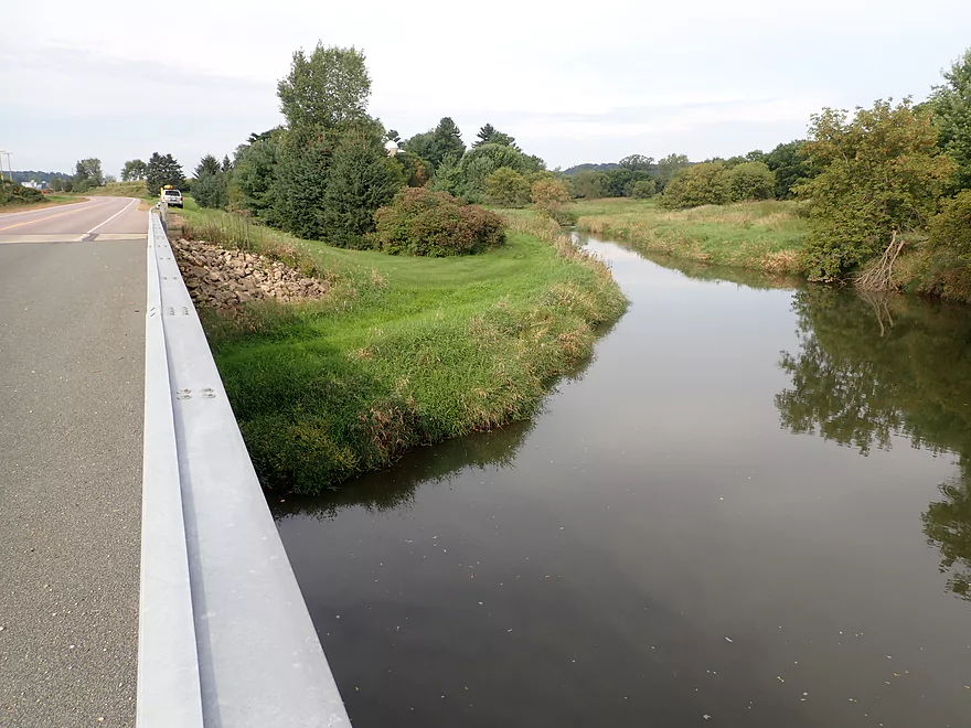
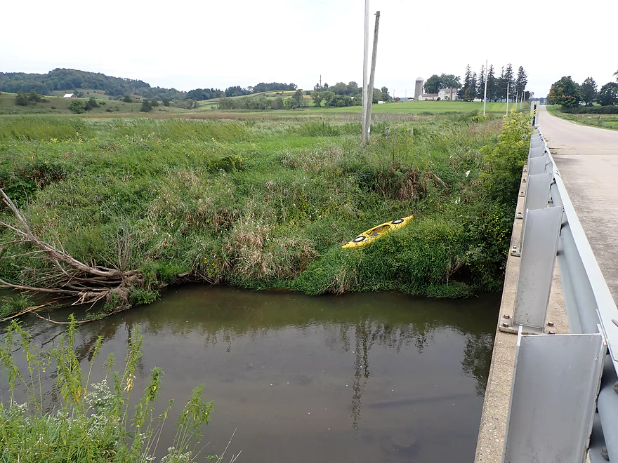
Putting in at Hwy 154
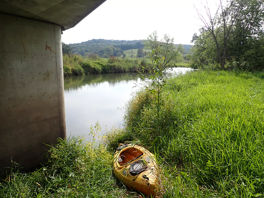
Easy launch bank under the bridge
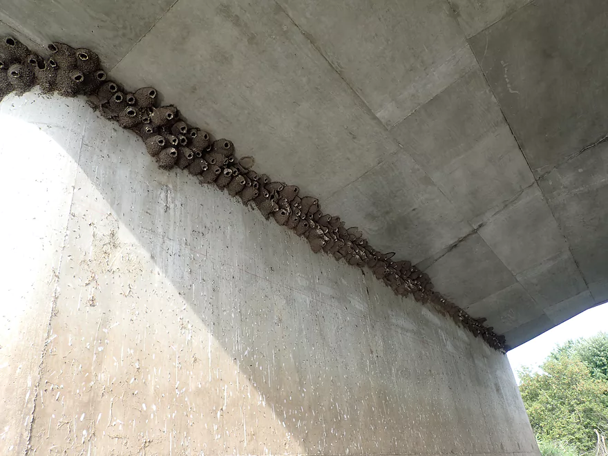
A hidden colony of cliff swallows
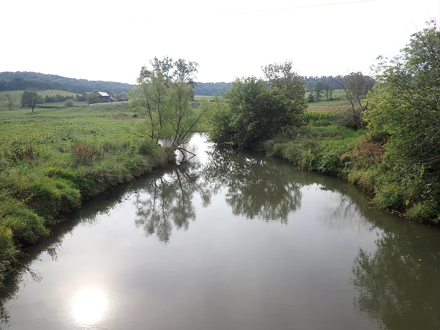
View from bridge
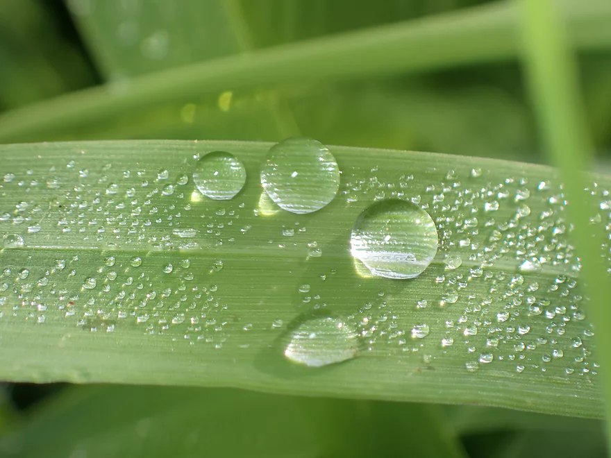
Morning droplets
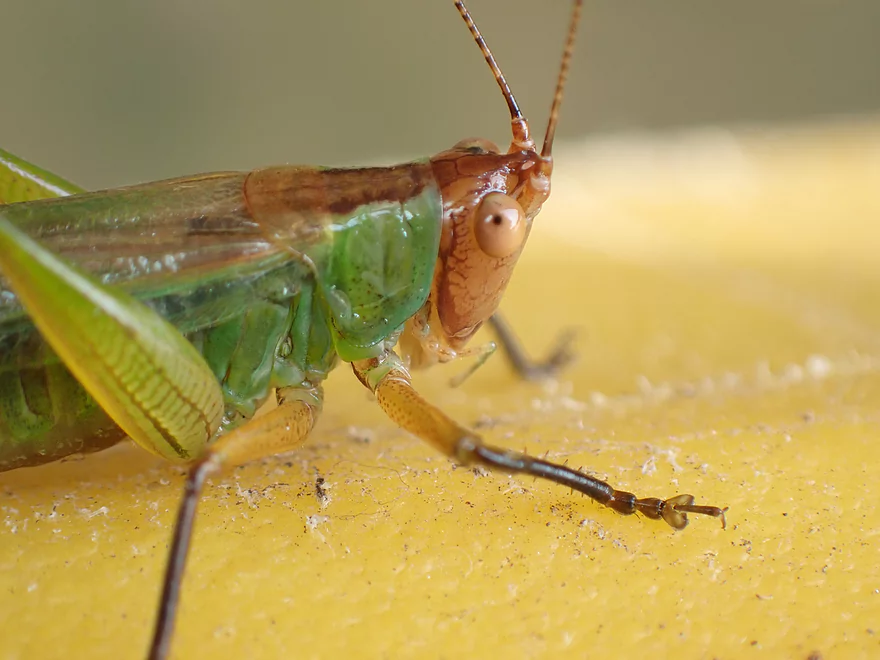
Friendly grasshopper
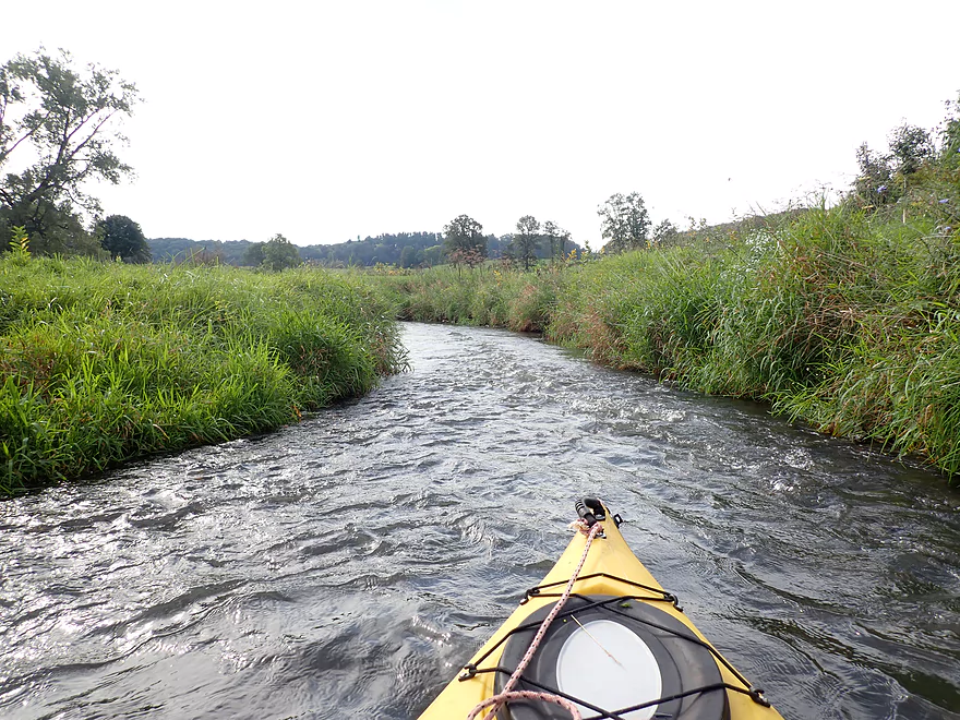
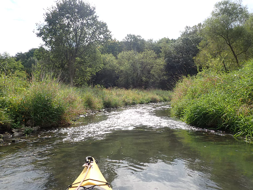
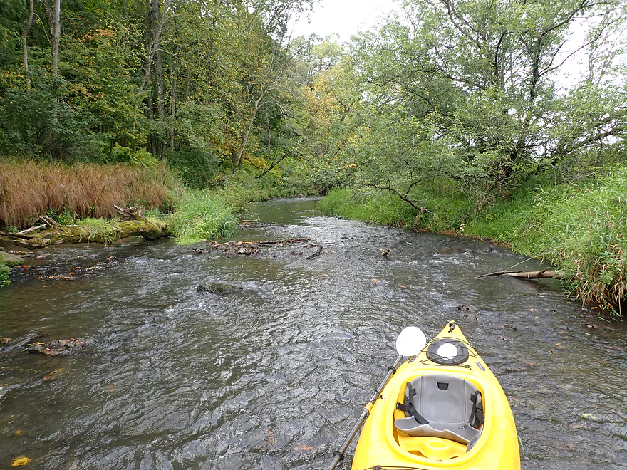
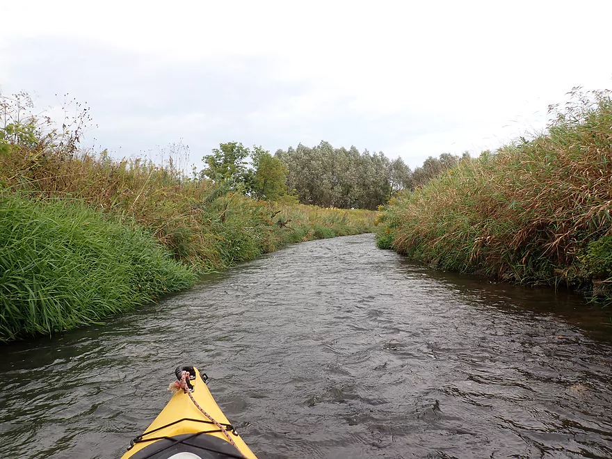
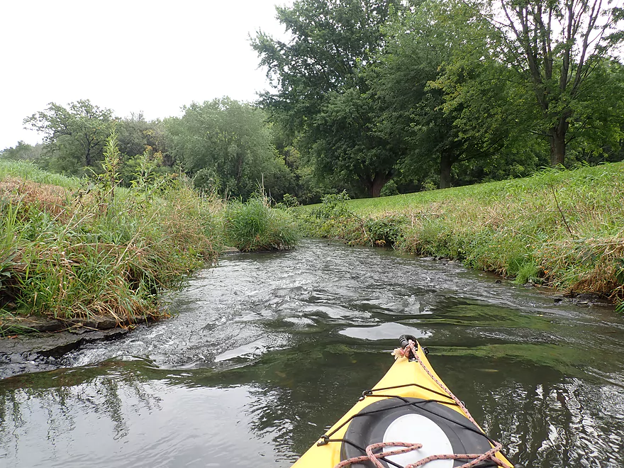
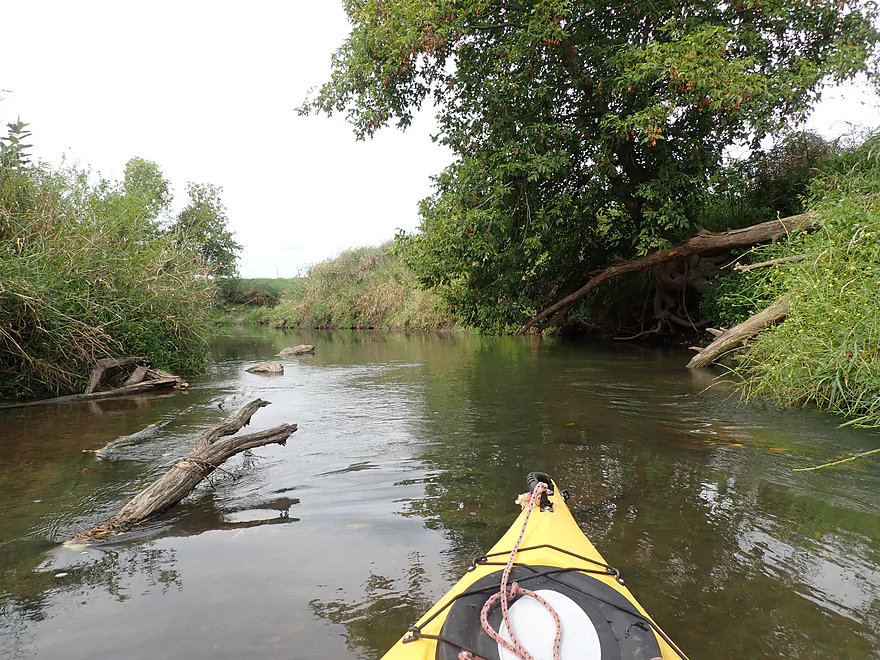
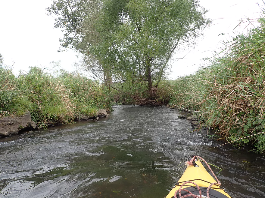
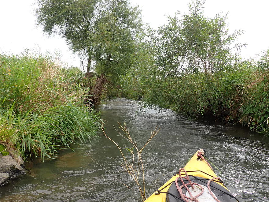
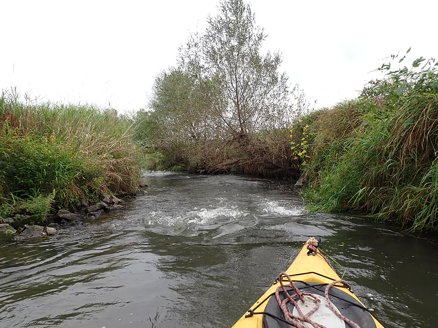
Surprise rapids
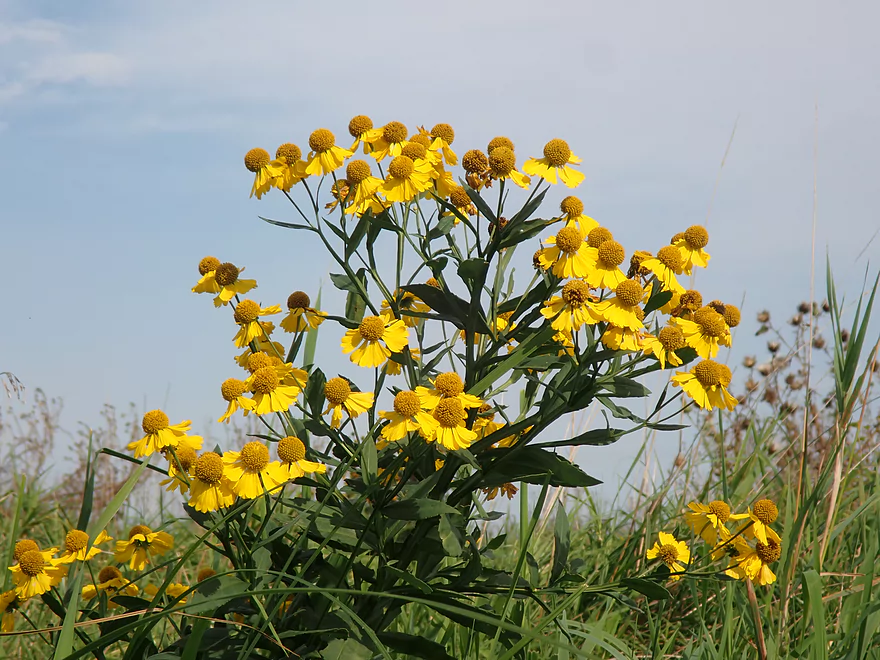
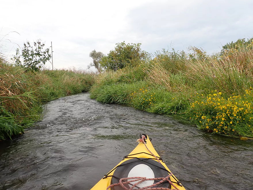
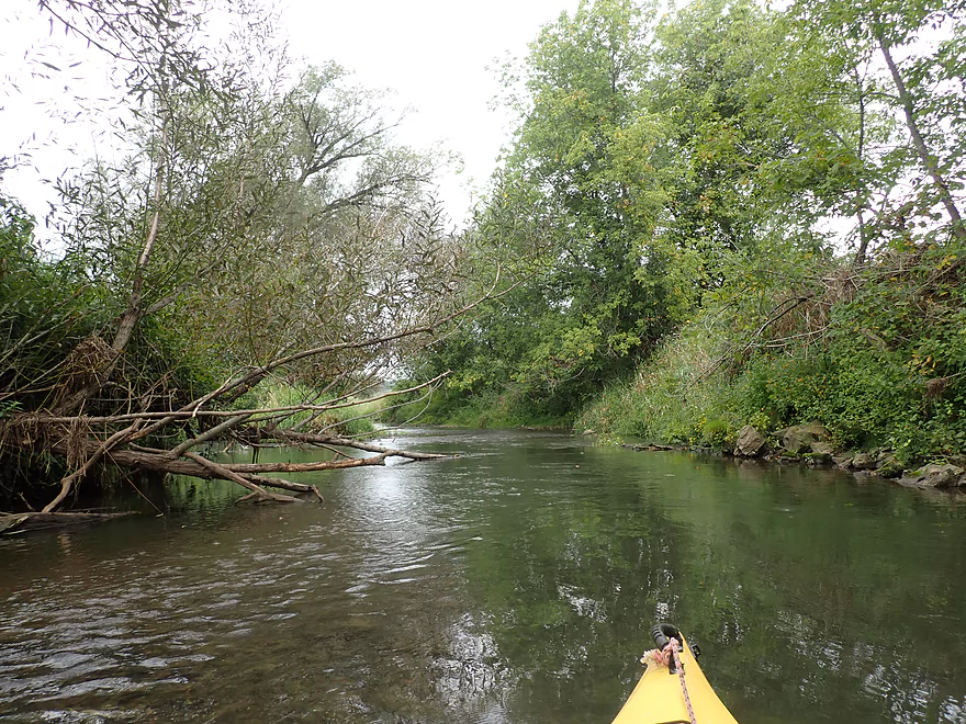
Lot of wildflowers on the banks
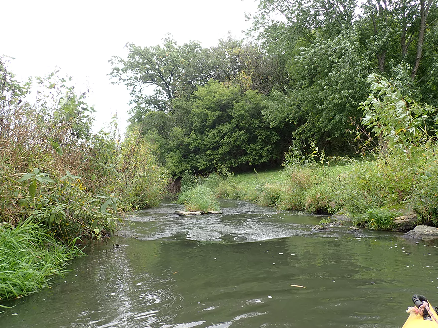
One of countless riffles
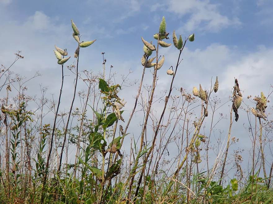
Milkweed (monarch butterfly food)
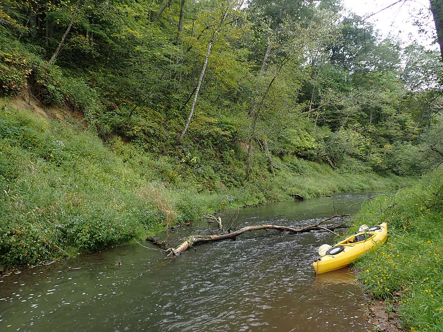
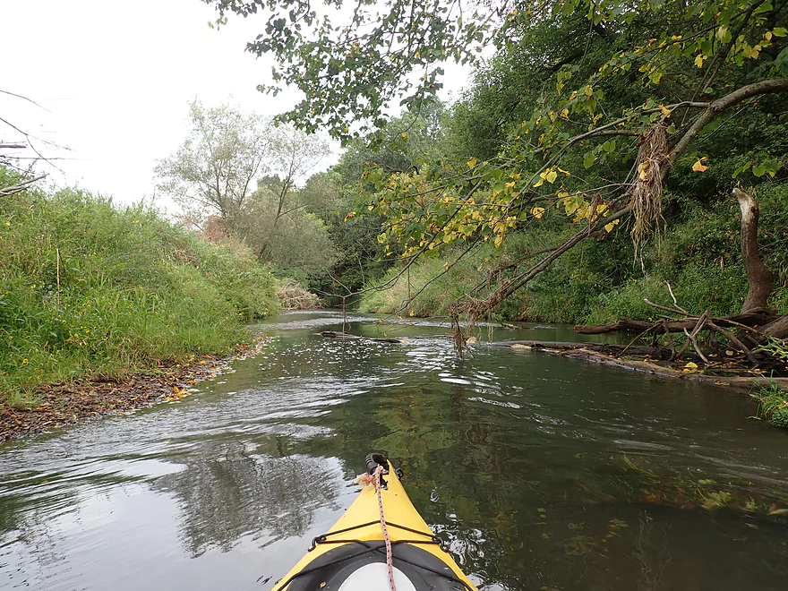
A scenic stretch by a long bluff
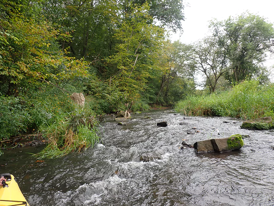
The shallowest part of the trip…should have waited for more rain
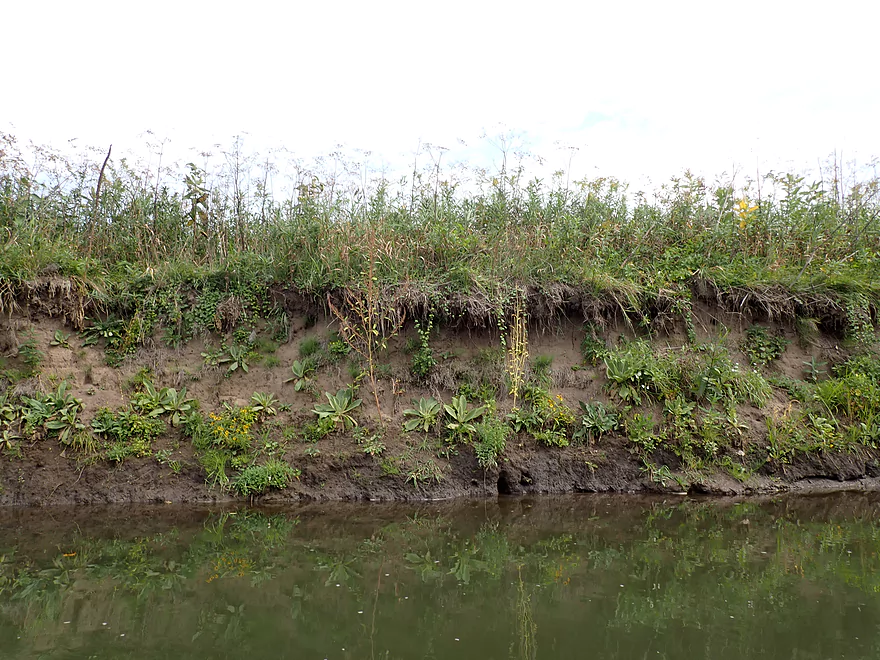
Some large dirt banks
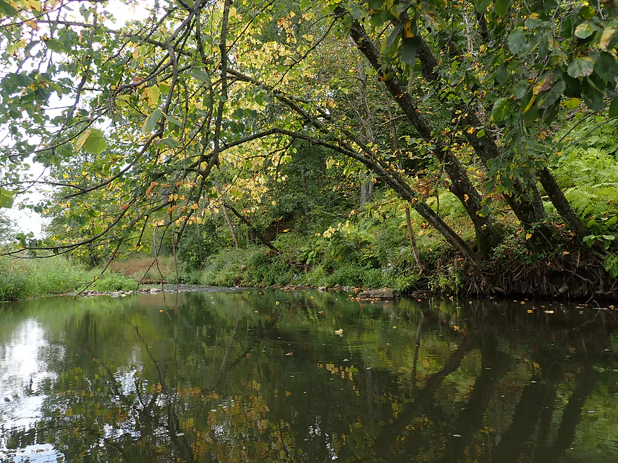
Stressed trees turning color early
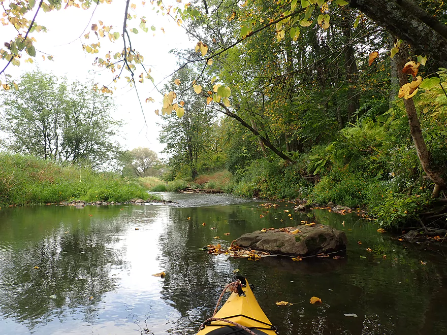
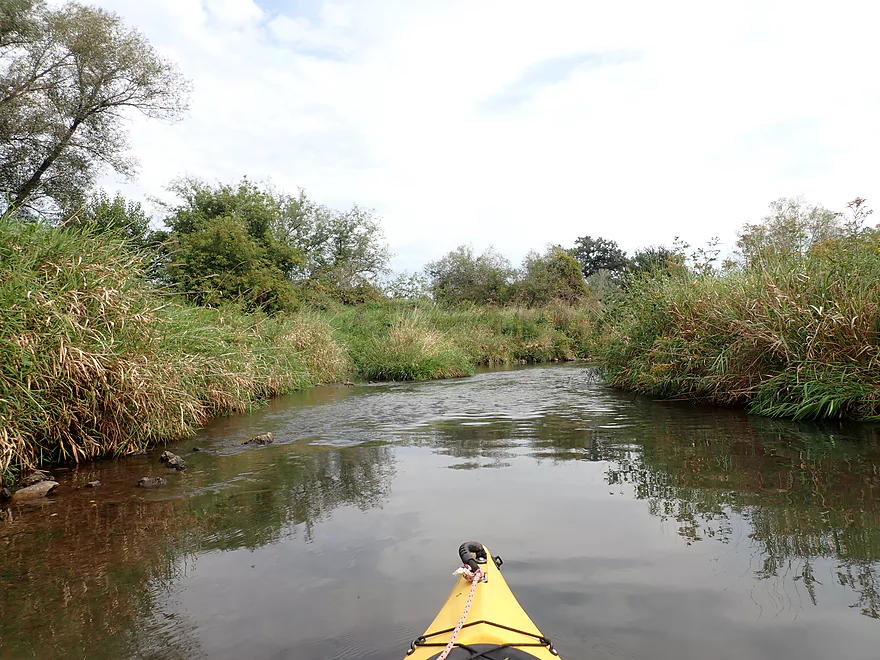
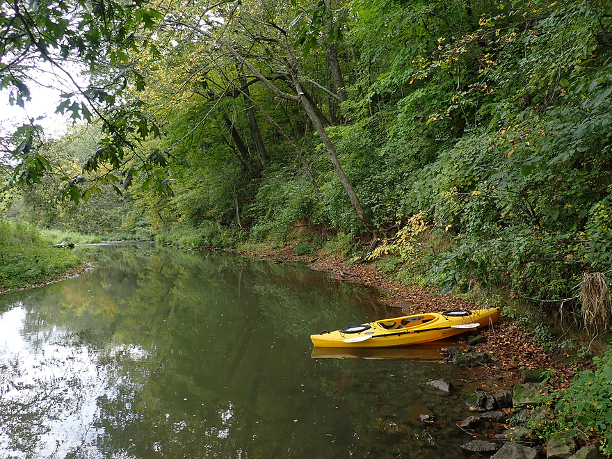
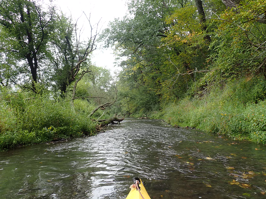
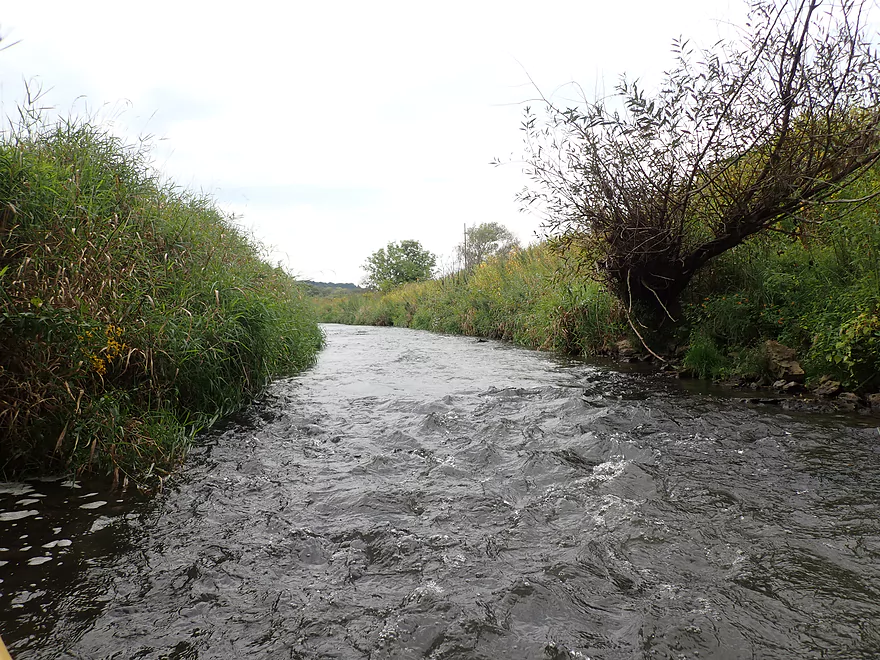
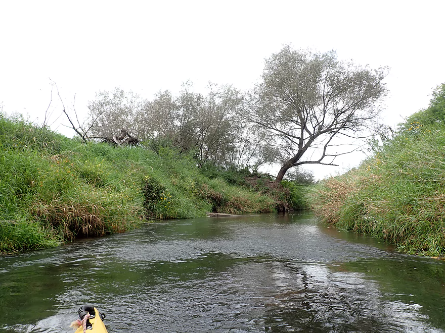
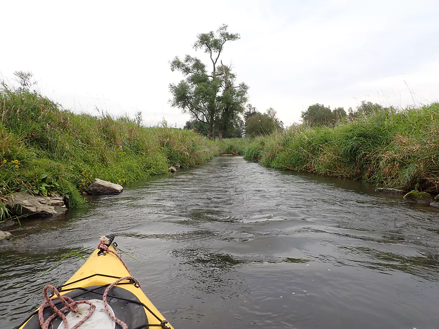
Scenic creek
I had to wade a few riffles though
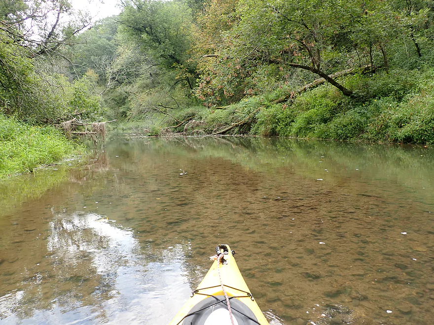
Water clarity wasn’t bad
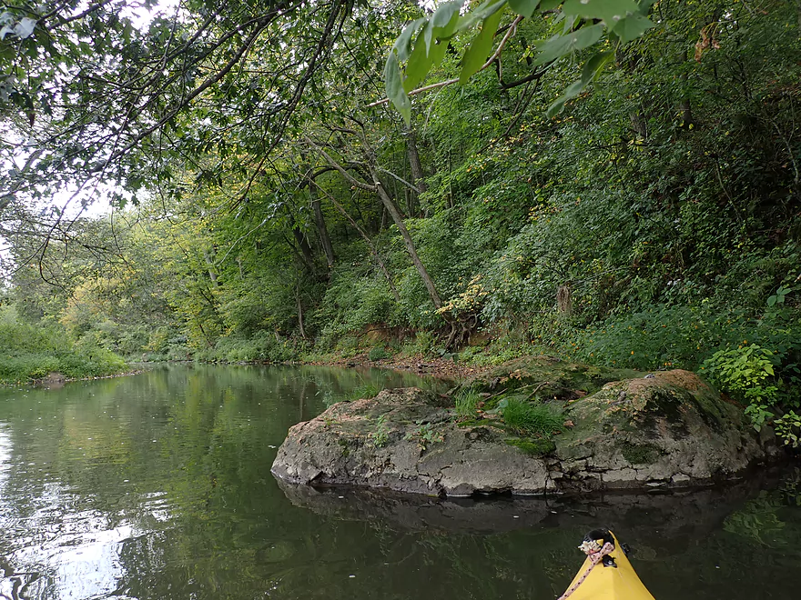
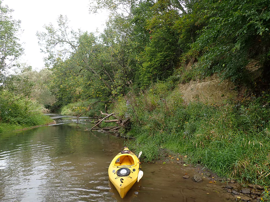
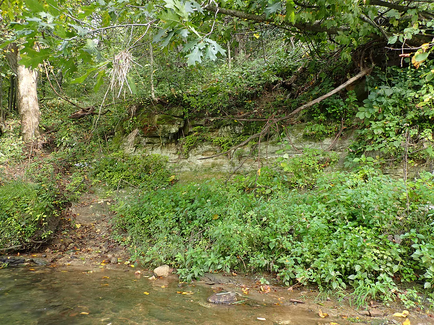
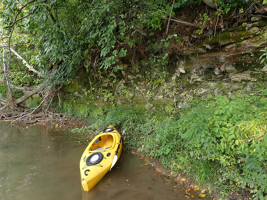
One of the larger outcrops
Tough to see the rock face because it is so overgrown
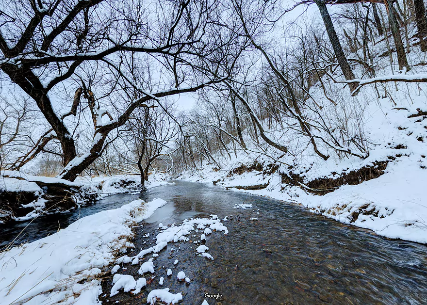
Same view but in winter (thanks Howard for the picture)
Reverse view
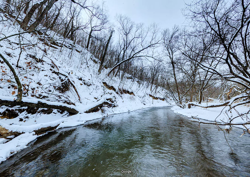
And in winter
Some more way early fall leaves
Another Hwy 154 bridge
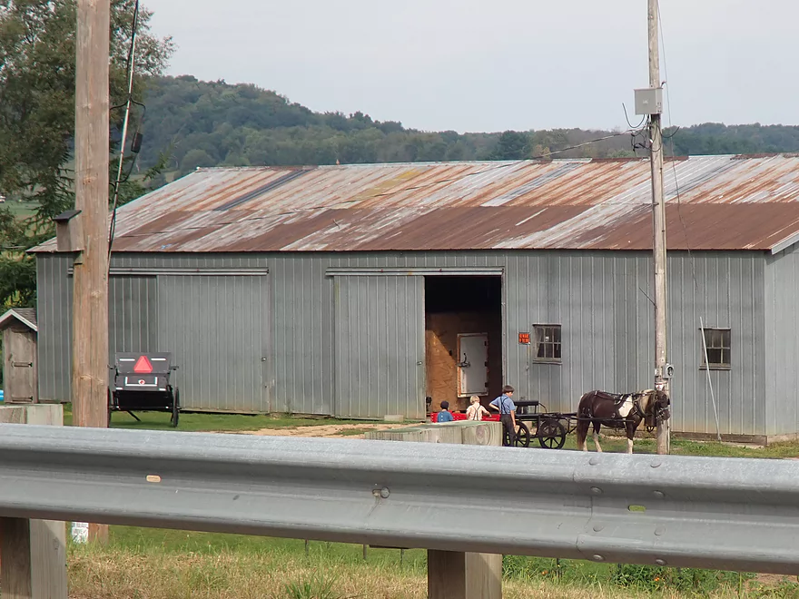
Nearby Amish kids are using a horse to pull a toy wagon
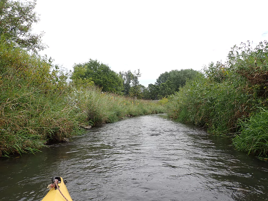
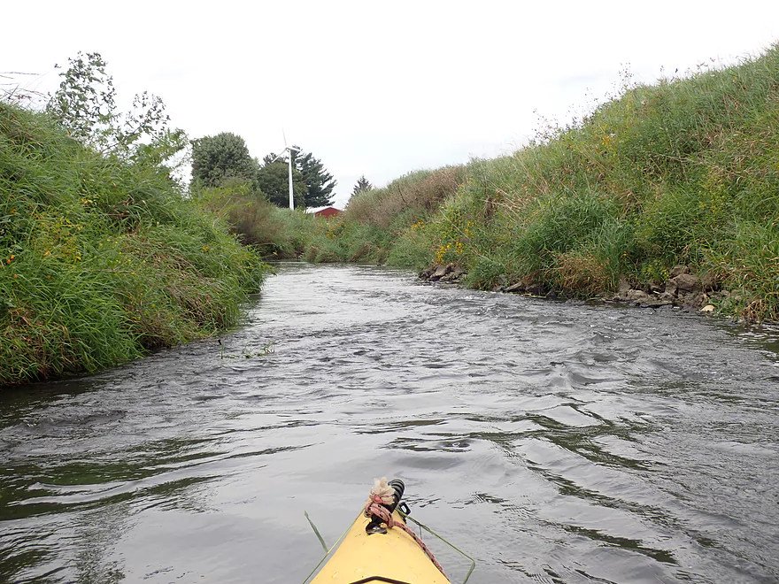
Coming up on the town of Loganville
This stretch has been restored for trout fishing
Scenic and fast leg
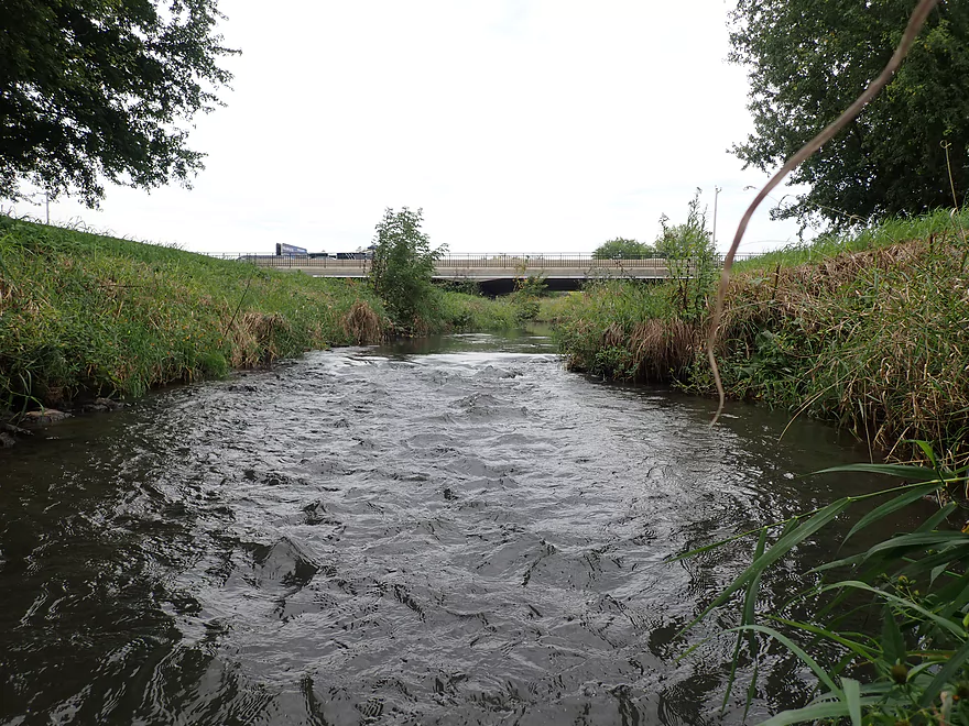
Hwy 154 (again)
Paddlers could launch here (Loganville Community Park)
This mini-stretch is very rocky/shallow
Outcrop #3
Outcrop #4
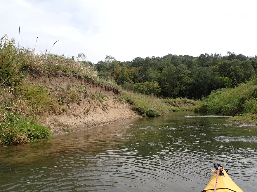
Erosion is more of an issue later in the trip
Outcrop #5
River really gets deeper after that
Leaving the bluff behind–the creek opens up
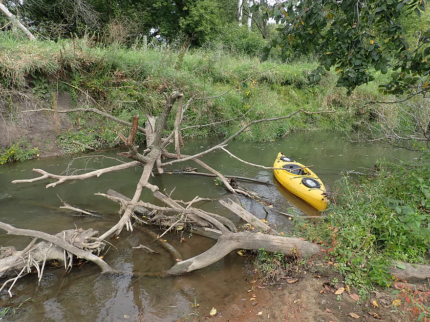
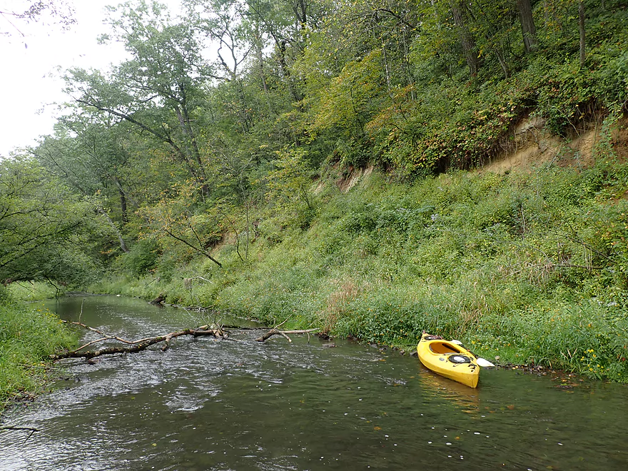
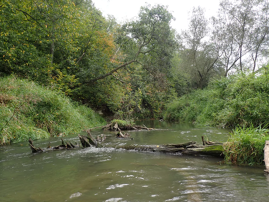
Easy portage around a logjam
Only major logjam and portage of the trip
A lot of reed canary grass here
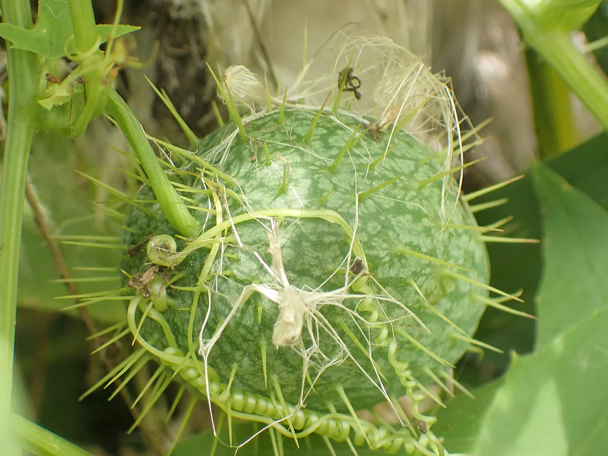
Wild cucumber has very exotic fruit
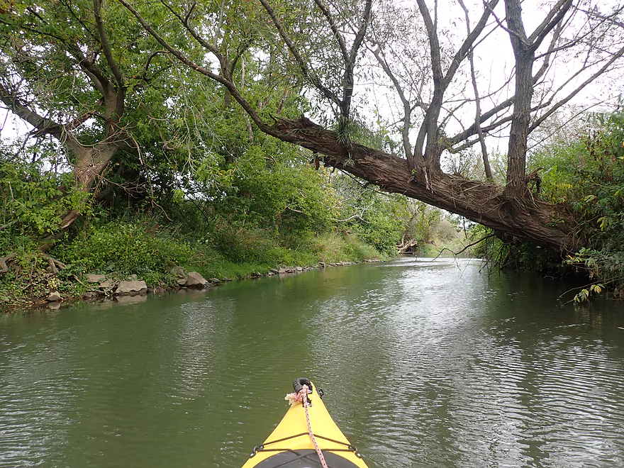
Example of a strainer to watch out for
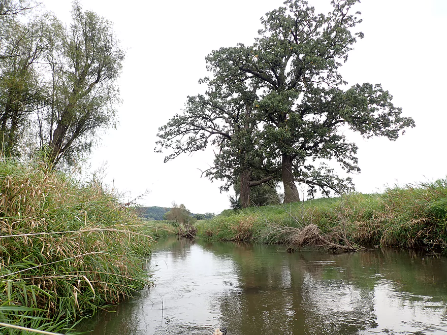
Cool oak
Another strainer that could be a problem in higher water
Taking out at Open View Road
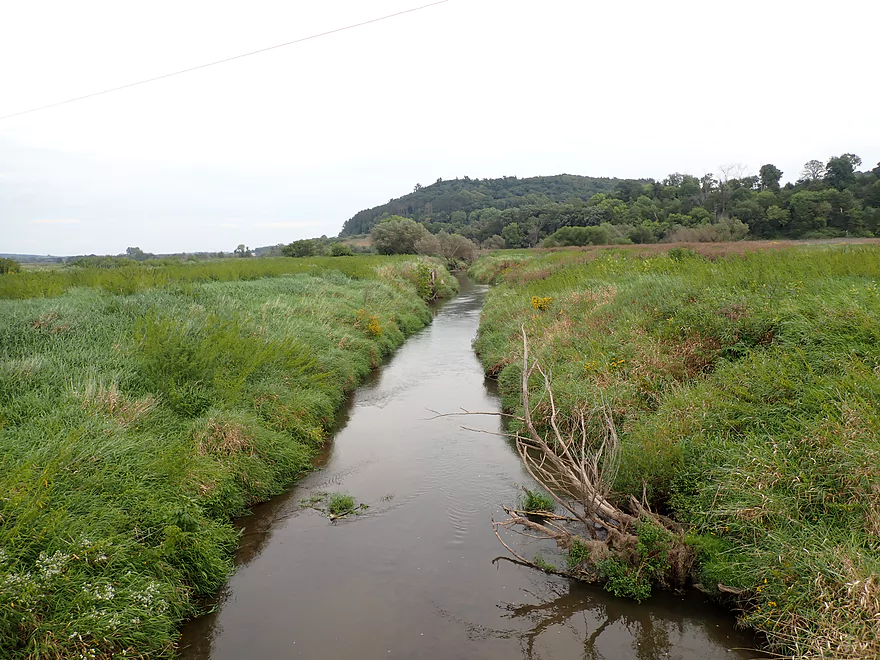
Good view from the bridge…that’s the western end of the Baraboo Hills ahead
Narrows Creek – Loganville


The Baraboo River has a number of intriguing tributaries for paddling, but most are clogged with logjams. Narrows Creek does however have some (relatively) open legs that are intriguing paddling prospects. I’ve previously paddled the creek near Rock Springs which was a nice trip. I’ve long wanted to do the stretch by Weidman Memorial Park. There the creek “narrows” between steep rocky bluffs and is very scenic. It could be thought of as the western gateway to the Baraboo Hills. But for this trip, I decided to try the creek by Loganville which I’ve driven over countless times and have always been curious about.
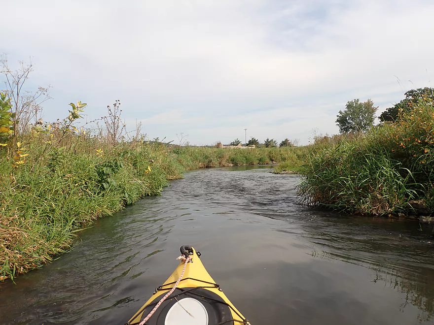
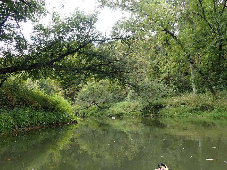
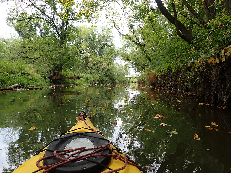
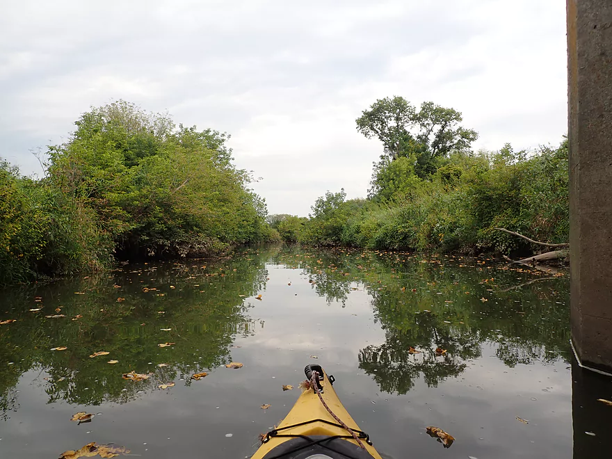
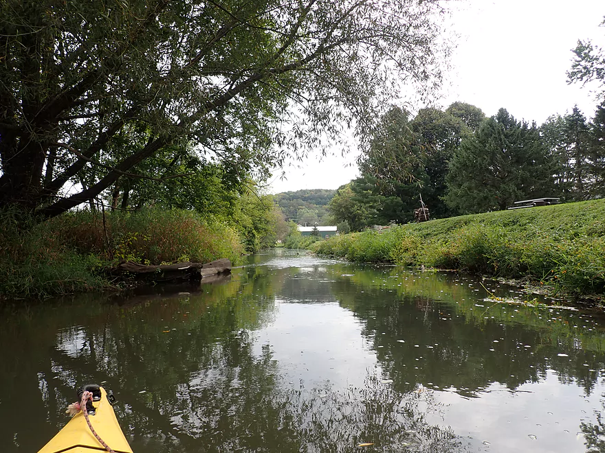
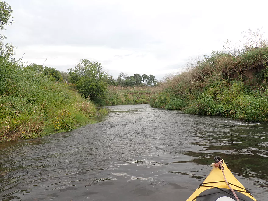
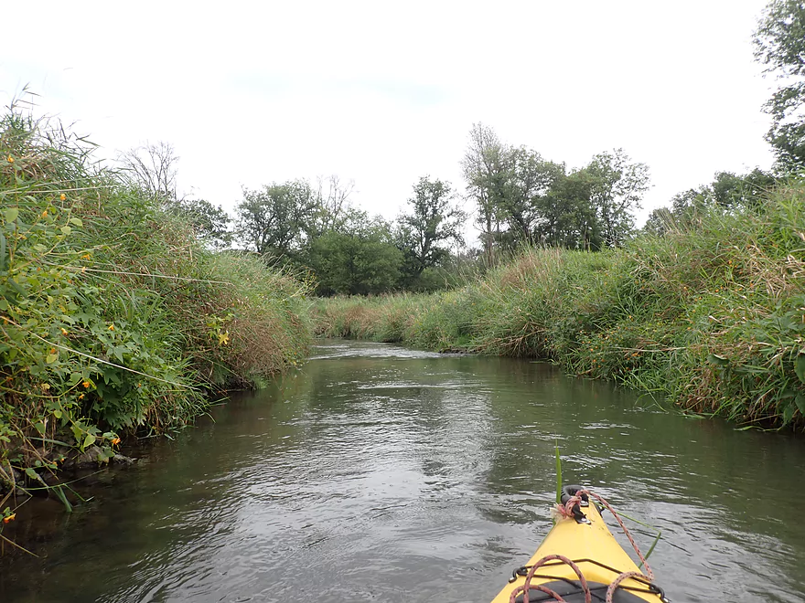
I started at the Hwy 154 bridge west of Loganville by Crescent Drive. The first mile was surprisingly nice. Here the creek wasn’t very wide, but flowed swiftly over light riffles. Despite going through mostly open pasture, this section has been set aside as a DNR fishing easement and restored for trout. Highlights in the first mile included many wildflowers, abundant milkweed, and scenic driftless area bluffs towering in the distance.
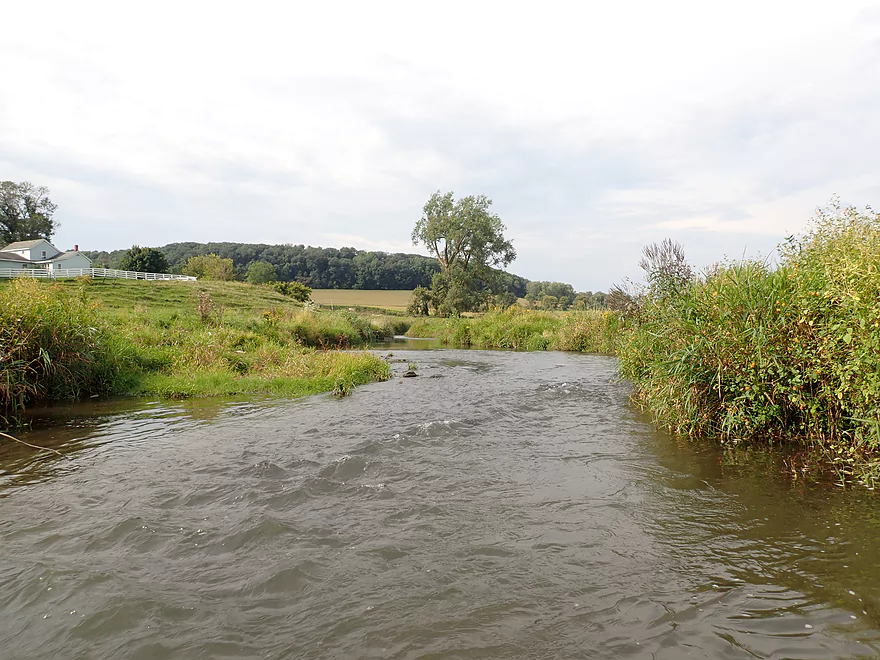
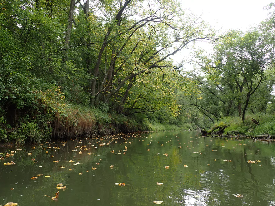
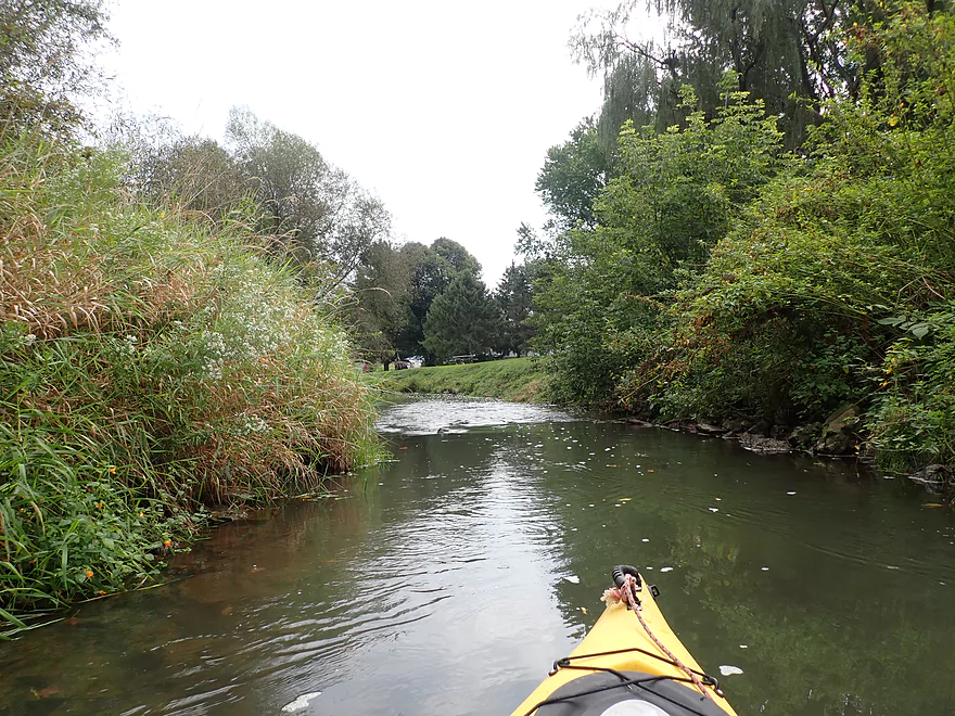
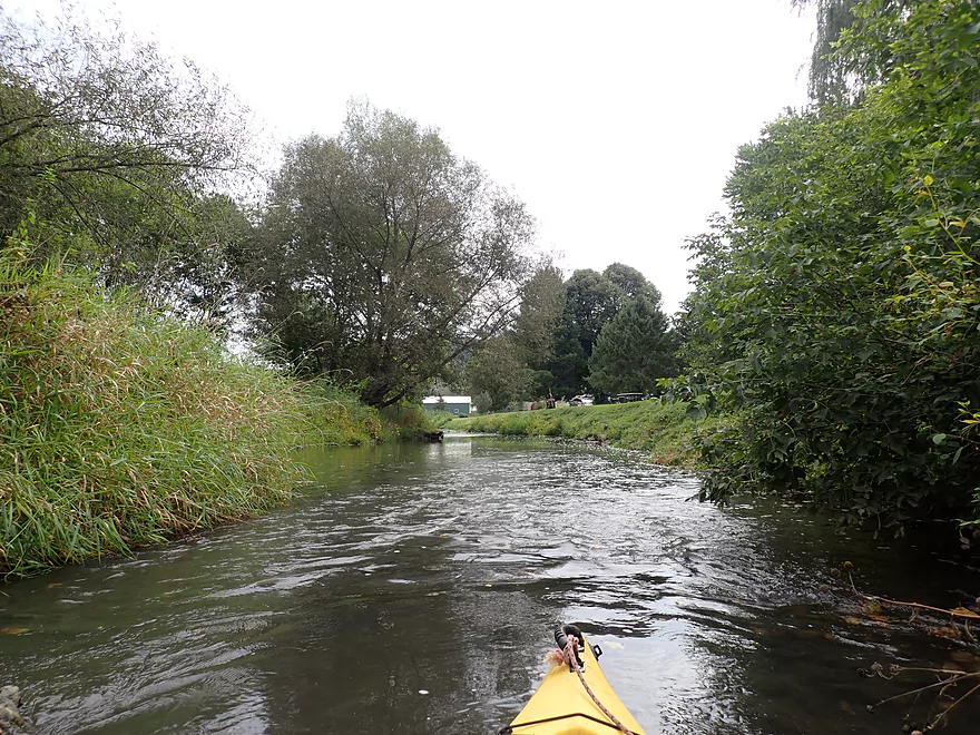
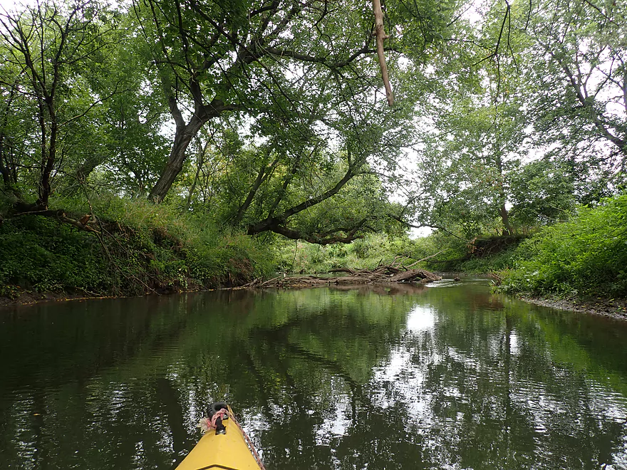
The second mile of the trip paralleled a long wooded bluff. This was the best and most scenic part of the trip as there were small boulders in the water and even a few minor outcrops. It was however the most shallow part of the trip, and I ran aground on EVERY riffle. Learn from my mistake and do the creek only when it is higher. Maybe another mistake (but not as major) was doing the trip in the fall when the banks were still overgrown and weedy. In the spring the bluff is very open and its outcrops are more striking. On the plus side I did enjoy some early fall color and seeing leaves falling into the river like snowflakes.
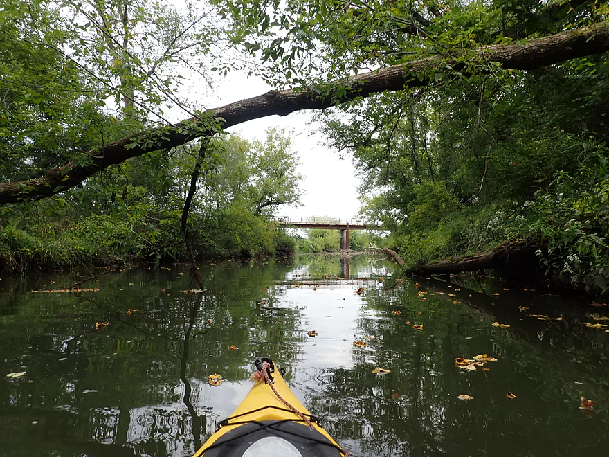
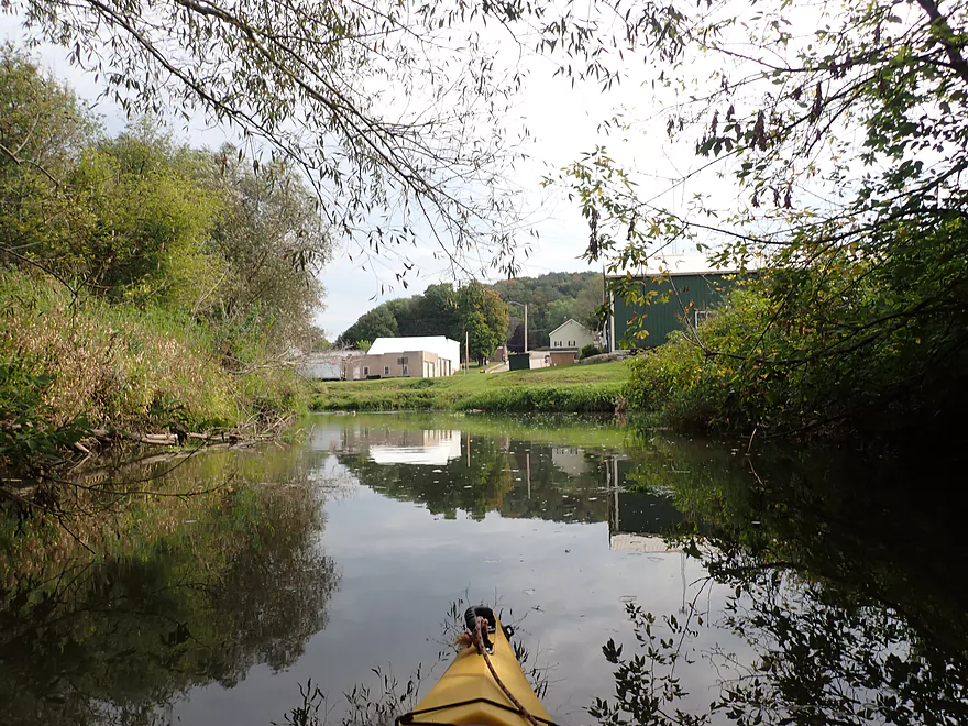
The next half mile (2nd Hwy 154 bridge to the third) skirts around the community of Loganville. It’s a quaint little Driftless Area town heavily influenced by Amish. In fact by the bridge were a number of Amish kids in their fancy clothes playing with a toy wagon…but using a full grown to pull it.
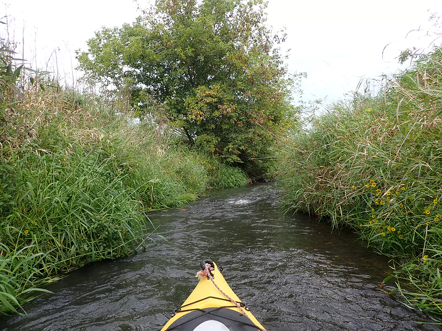
Loganville sits atop a steep hill (kind of like Galena) and its centerpiece is a small church at the highest point which overlooks the town and the valley. From a kayak though, you don’t see much of town aside from the tops of some buildings. Here though the most serious trout restoration work has been done and the creek is the most entertaining. The channel has been straightened, narrowed, and significantly sped up with many light rapids. Along both banks were gorgeous tall prairie plants that formed a wall around the creek. All in all, a great leg.
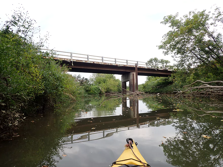
Beside the 3rd Hwy 154 bridge is Loganville Village Park which is an access option for paddlers. Here the creek is abnormally narrow, rocky, and shallow which may put off paddlers scouting it from shore…but in high water this leg could be fun.
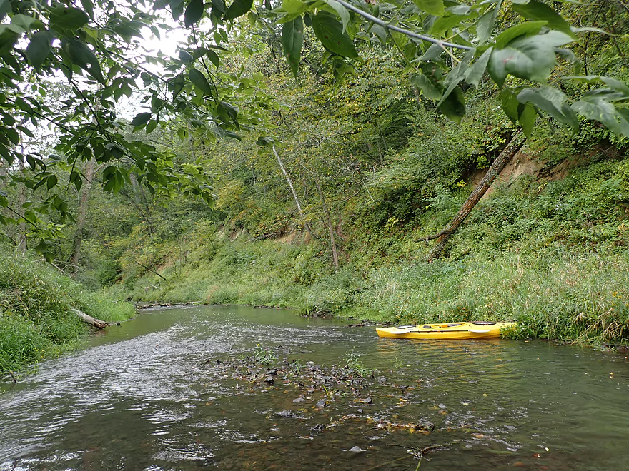
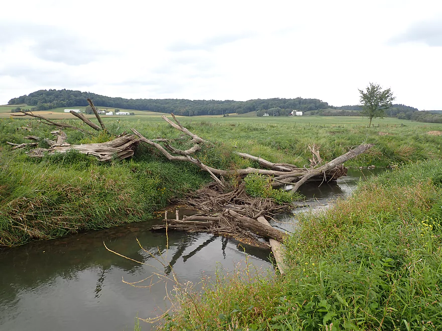
The next mile paralleled a long north-south wooded bluff. Here the creek was larger with fewer “ground-outs”. But erosion and some trash (like used tires) were an eyesore. A pleasant surprise was seeing three small rock outcrops, bringing the trip total to five.
For the last two miles the creek left the bluff and entered a vast open lowland valley. Here there were few trees and the creek was dominated by a huge pasture. This was the weakest leg of the trip, but the open vistas afforded some fantastic views of the western-most Baraboo Hills. I ended the trip at Open View Road which honestly was a tricky take-out as the bank there was steep and weedy.
In summary, this was a surprisingly scenic trip but also very shallow. I’m sure if I had simply waited for a bit more rain, I would have enjoyed it much more. There were three logjams, but two of them were super easy portages. I really wished I had waited until spring to do this trip and suspect it would have been in many ways quite similar to my Kittleson Valley Creek trip. I’m not sure I can recommend this trip for non-locals, but adventurous paddlers who live in Sauk or Richland Counties may find it enjoyable. Note, this trip could be subdivided into two separate trips with the first half (before Loganville) being very shallow but more scenic. The second half (after Loganville) is the opposite…much deeper, but less scenic.
Special thanks to Loganville local Howard who let me use two of his winter photos in the review.
I didn’t see much on this trip…just some small fish and a few ducks. A good chunk of this route is through public trout easements, so I assume there are trout but I didn’t see them.
Hwy 154: This road crosses the creek three times…this is the first bridge by Crescent Drive. This was a actually a great bridge access as there is a nice mowed area to park and to drag your boat down to the water.
Alternate Put-ins:
- Second Hwy 154 Bridge (1.5 miles downstream from my put-in). I believe trout fishermen use this as a staging area to access the creek, but it looked weedy and uninviting as a kayak access.
- Third Hwy 154 Bridge (2 miles downstream from my put-in). Loganville Village Park is a decent access option but would require dragging your boat past a large baseball diamond. Paddlers may find it more convenient to launch directly from the bridge instead. Starting the trip here means avoiding the more shallow parts of the creek, but also the more scenic parts.
Open View Road: This is a manageable bridge access but not super pleasant as the banks are steep and weedy.
Alternate Take-outs:
- Second Hwy 154 Bridge (3 miles upstream from my take-out). This is an ok access (see notes above).
- Pine Bluff Road (1 mile downstream from my take-out). I didn’t scout this bridge but assume this would be a suitable bridge access. This leg is mostly open and simple…figure 2-3 possible logjams.
Bike Shuttle – Open View Road to First Hwy 154 Bridge: 4.6 miles with 164′ of ascent. This is a scenic bike shuttle, but hilly. Combined with the strong headwind I faced (which is always worse biking compared to kayaking) I was pretty tired after my shuttle.
Logjams: I’ve marked the locations of each of the three logjams I faced on the trip map. Roughly speaking there is only one logjam upstream from Loganville and that was an easy portage. Downstream from Loganville there were two logjams. One was an easy portage on a small sandbar. The other portage was a bit trickier and involved climbing up a steeper/weedier bank (but wasn’t awful).
Current/Rapids: There are a number of riffles and light rapids but nothing major. Paddlers are highly advised to wait for higher water levels to avoid countless ground-outs.
Strainers: There are a few strainers (fast current + low branches) just west of Open View Road. These were manageable in low water. But in high water could be a hazard and should possibly be portaged.
Trip Depth: 5.96′ per the Baraboo River @ La Valle which was shallow…too shallow. Note the following are just rough guestimates:
- 0-5.90′: Too shallow.
- 5.91-6.00′: Mostly too shallow. The stretch below Loganville though is much deeper and not as bad.
- 6.01-6.10: A shallow depth, but likely marginally acceptable.
- 6.11-6.30: Likely a decent target range, but expect a few bumps above Loganville.
- 6.31-6.50′: Likely a good target range. Note there are strainers near Open View Road that in high water may need to be portaged.
- 6.51-6.70: A high depth suitable for only expert paddlers.
- 6.71’+: Maybe too high for paddling.
- First Hwy 154 Bridge to Second Open View Road Bridge: 5.1 miles.
- First Hwy 154 Bridge to Second Hwy 154 Bridge: 1.5 miles. This is a scenic stretch and mostly runs along a long bluff. Highlights include two rock outcrops. There is one logjam but it is an easy portage. This leg is too rocky to do when shallow.
- Second Hwy 154 Bridge to Third Hwy 154 Bridge: 0.6 miles. A nice open leg past the community of Loganville. Part of this has been restored for trout and is now narrow, fast, and fun.
- Third Hwy 154 Bridge to Open View Road Bridge: 2.8 miles. First half of this leg is by a nice wooded bluff that features three small outcrops. The second half is more open and dominated by pasture with scenic hills in the distance. There are two logjams to portage in this stretch…one easy, one a bit trickier.
- Open View Road to Pine Bluff Road: 0.9 miles. Kind of an open pasture paddle. Maybe 2-3 logjams.
- Pine Bluff Road to Dunse Road: 3.2 miles. Maybe 14 logjams…too many.
- Dunse Road to S. Golf Course Road: 2.1 miles. Maybe 12 logjams.
- S. Golf Course Road to Hwy 154 Shoulder: 1.1 miles. Maybe 1-4 logjams. There should be an outcrop on the south shore as well.
- Hwy 154 Shoulder to Highlow Road: 1.1 miles. The most scenic stretch of the creek…flows through narrow bluffs and features some outcrops. Maybe 2 logjams.
- Highlow road to Hwy 154: 1.3 miles. Maybe 4-5 logjams. Mostly along a steep hillside so maybe one outcrop.
- Hwy 154 to Happy Hour Park: 1.6 miles. A nice stretch that I partly did before. I estimate 2 logjams. Maybe one outcrop.
- Happy Hour Park to River Street Canoe Access: 0.25 miles. A short optional leg on the Baraboo River. Honestly Happy Hour Park is a better access, and I recommend using that instead.
Trip Map
Overview Map
Video
Photos Size: