
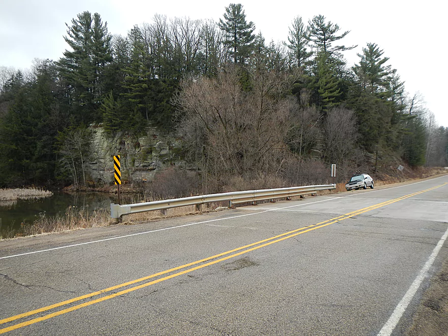
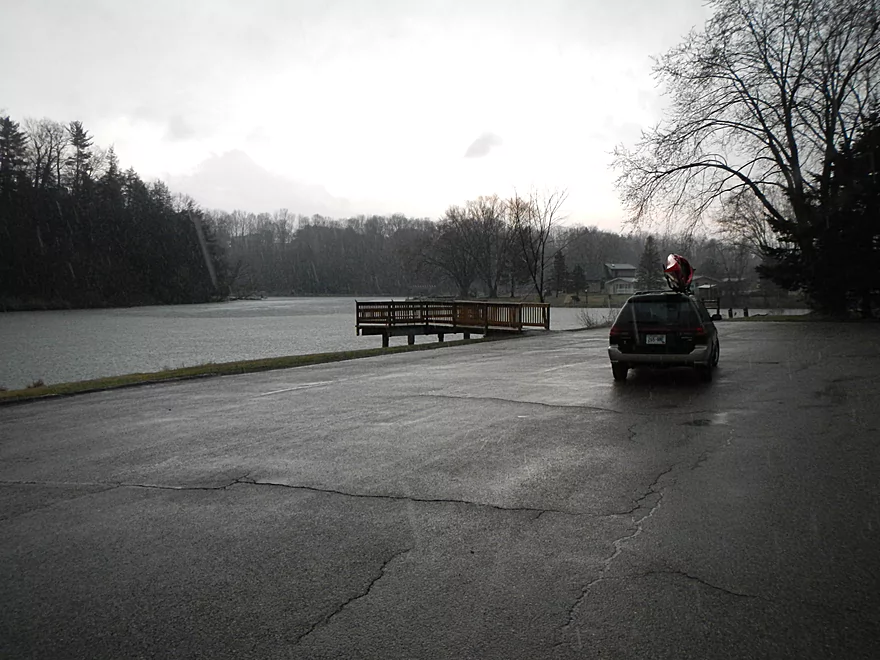
Ok parking on Hwy F bridge
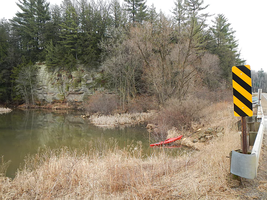
Ok launch area
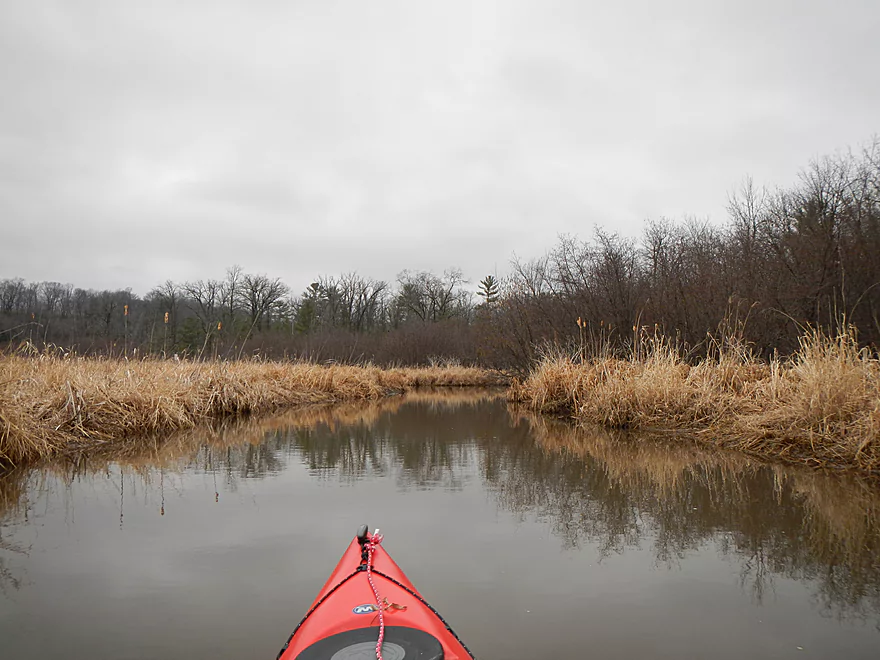
Kind of marshy
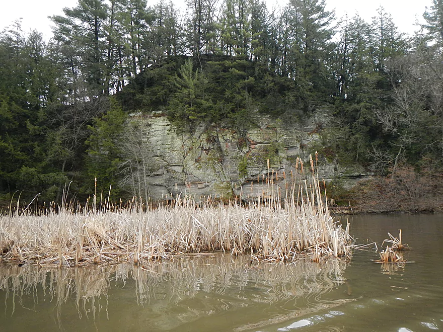
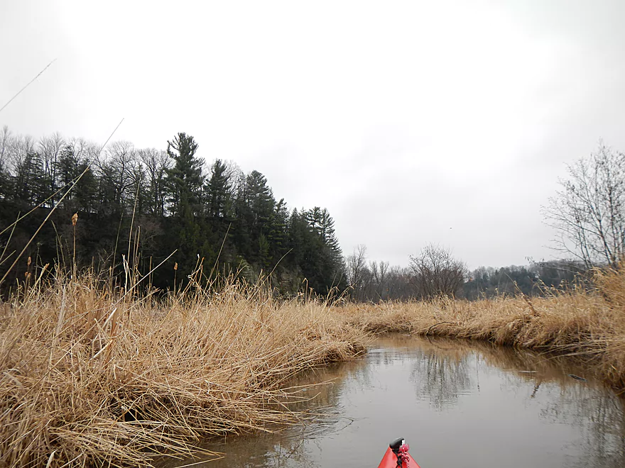
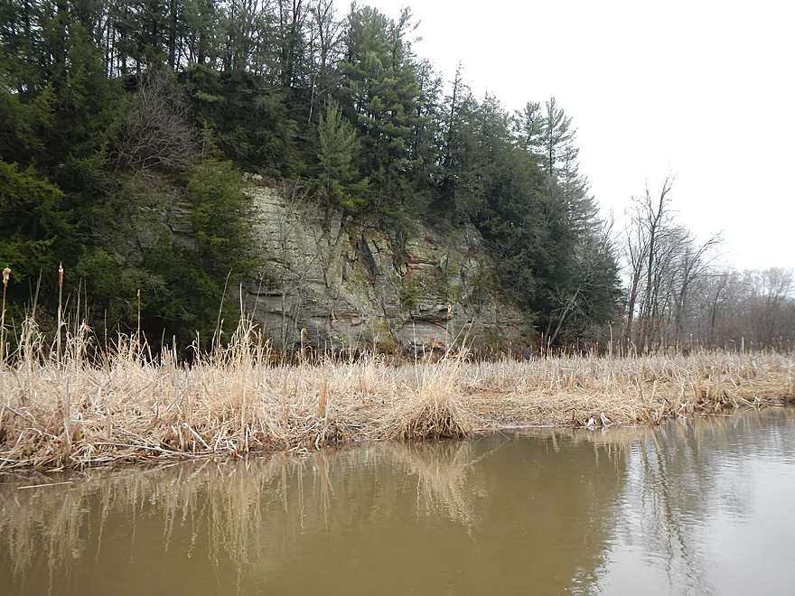
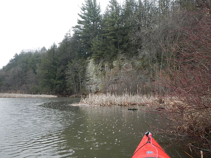
Nice bluff

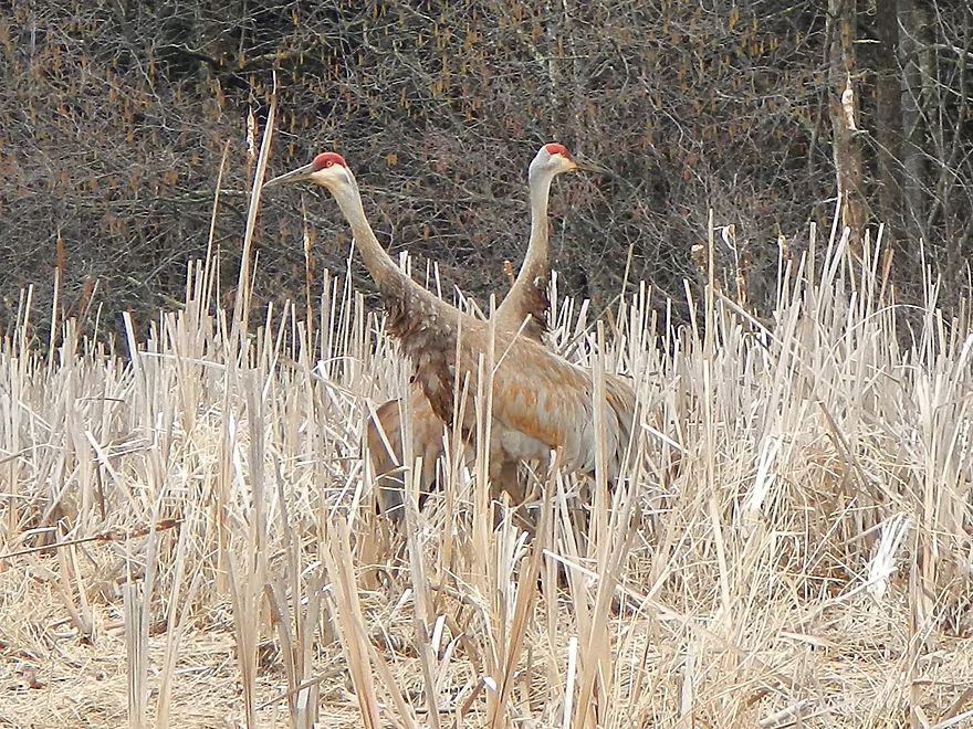
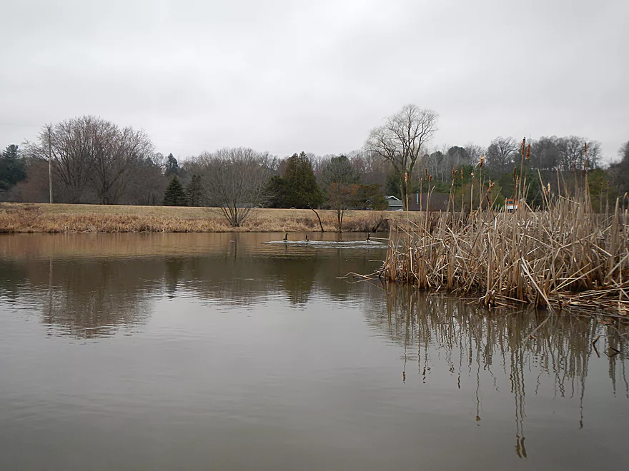
Sandhill Cranes
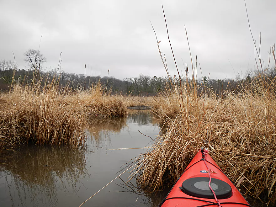
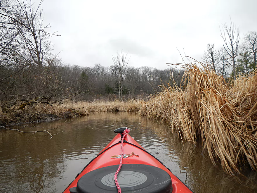
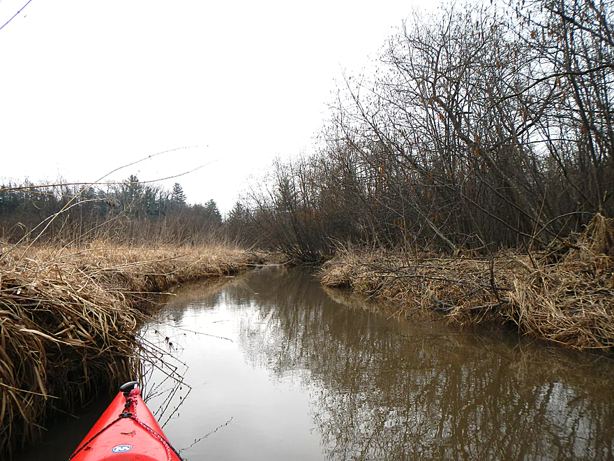
Sub-channel
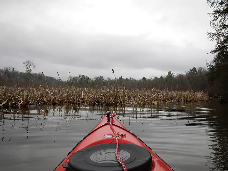
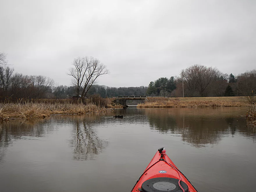
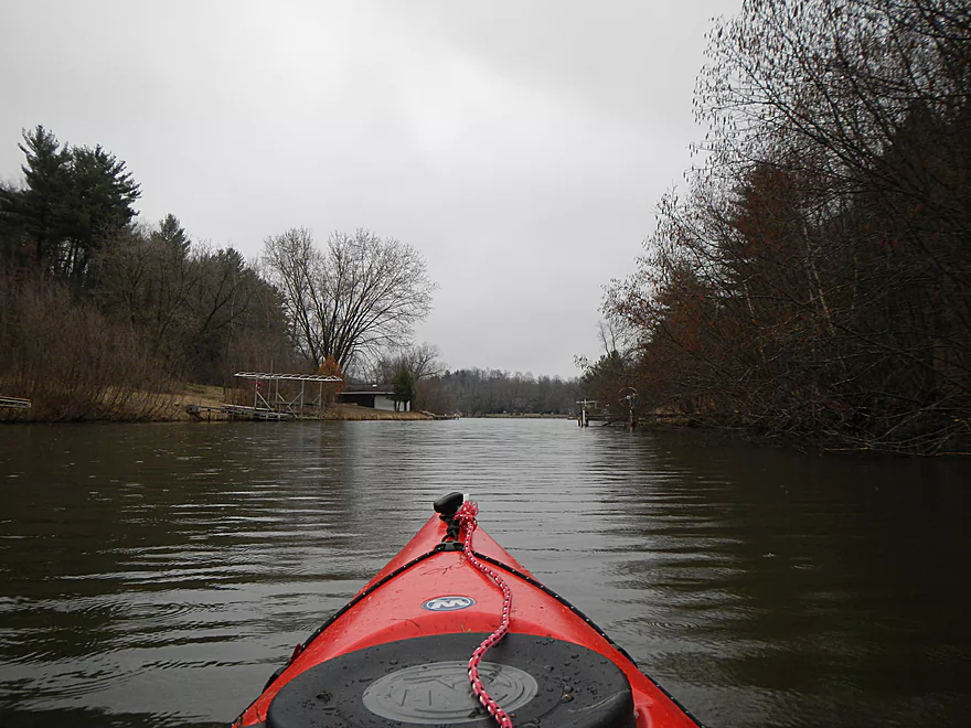
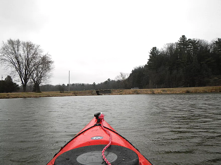
Paddling upstream
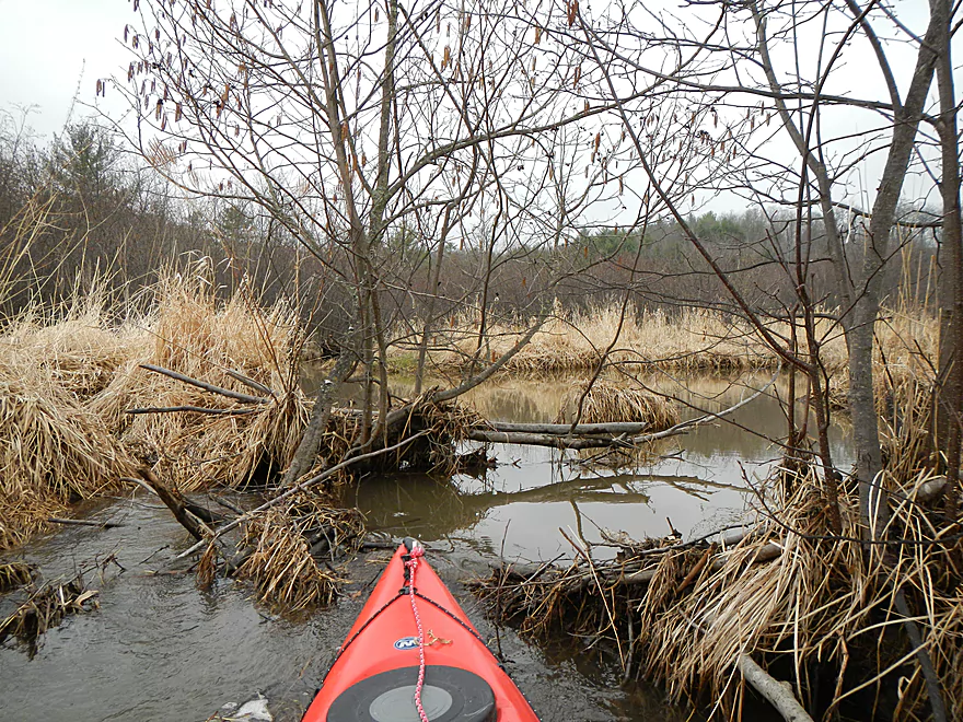
Some creek debris
Never had to portage, but did have to cut through some branches
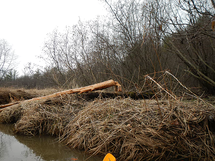
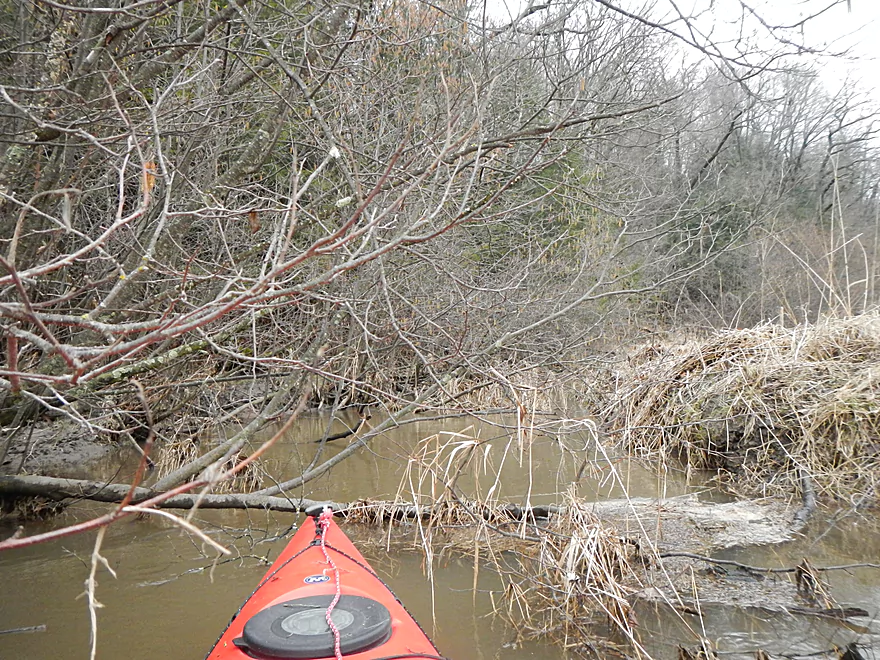
Classic beaver tree
Short trip due to logs…heading back
Nice vista as you enter Lake Redstone
Back to the Hwy F bridge
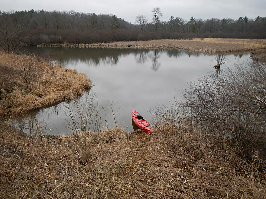
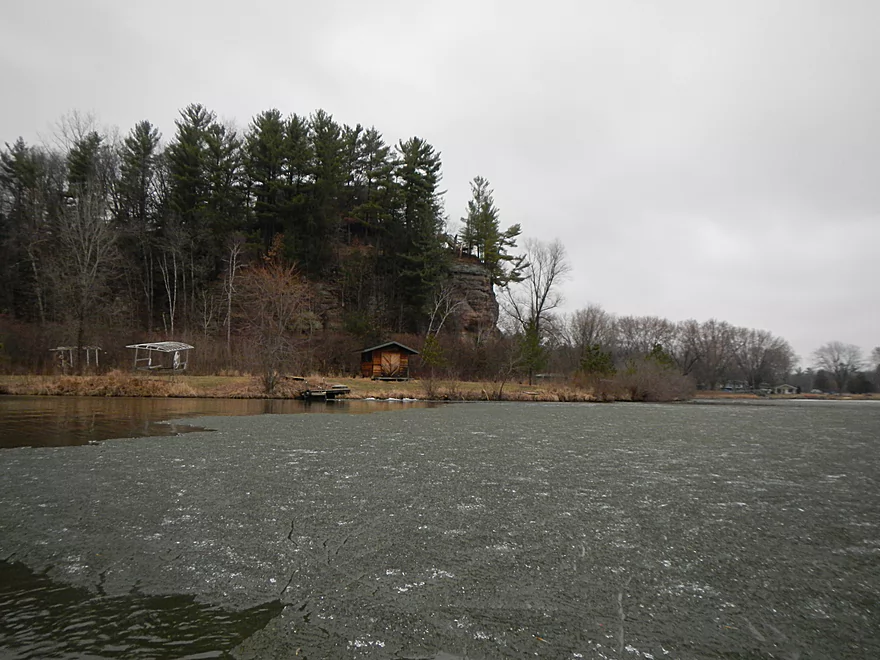
Small bay area
About to enter Lake Redstone proper
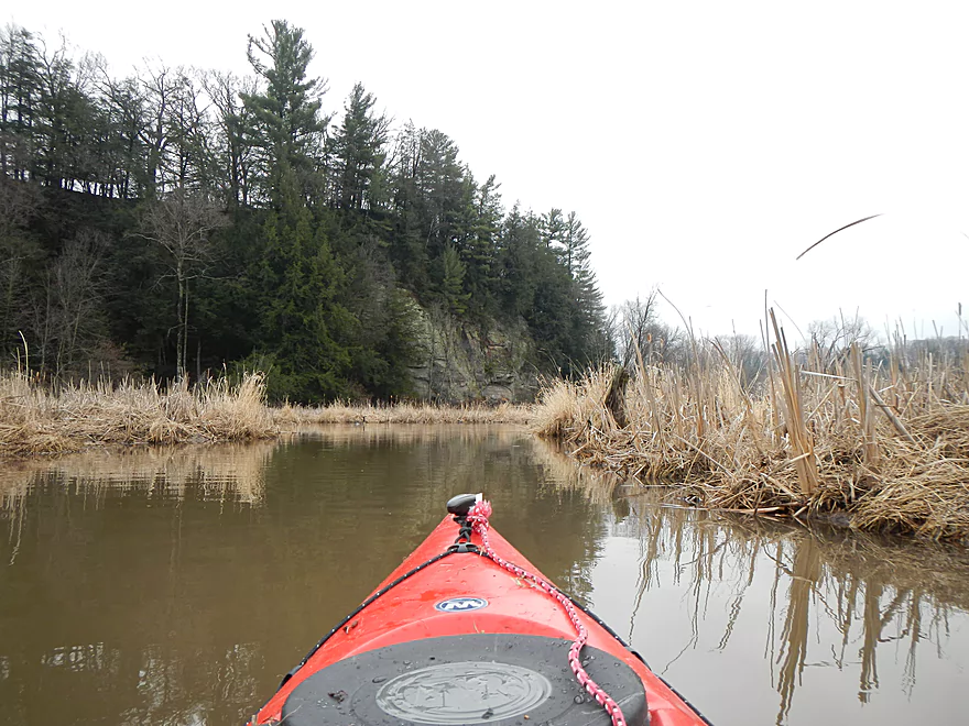
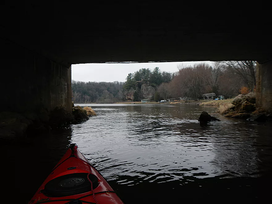
Cool bluffs
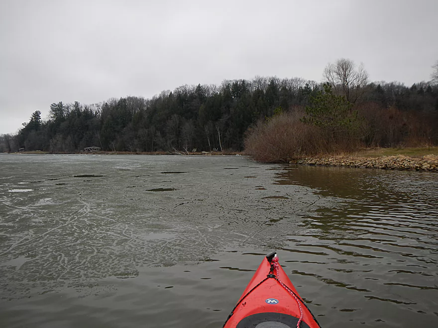
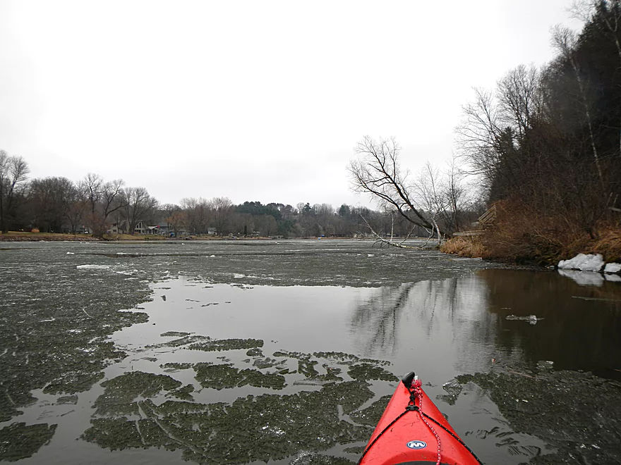
I thought the ice would have melted by now
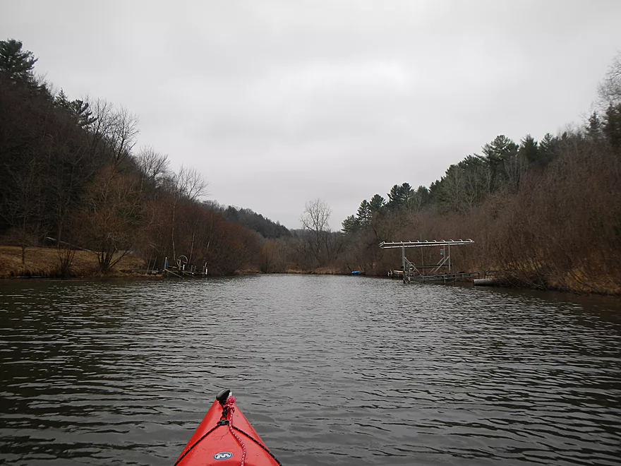
Checking out an inlet in the upper left corner of the lake
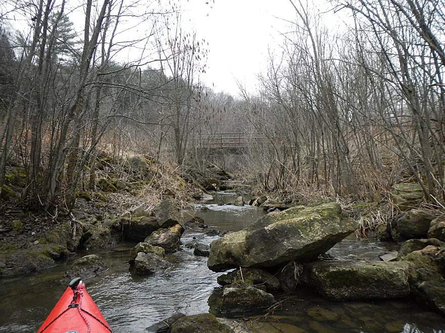
Nice little creek with walk bridge
Time to get back to the main lake
Most of the shore was ice free
It was fun to carve up
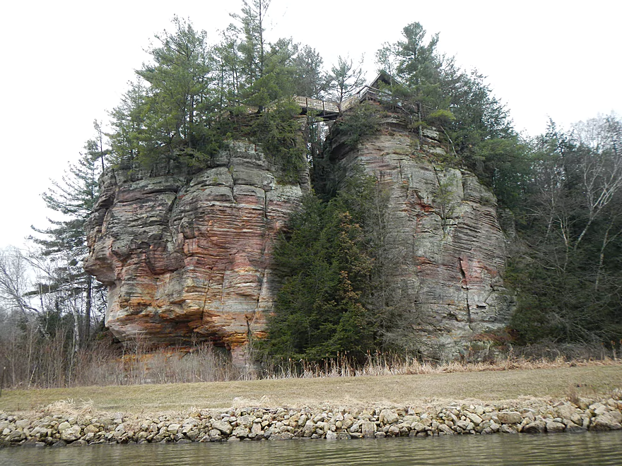
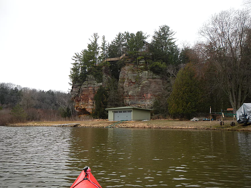
The best rock formation (Lake Redstone has plenty more of these)
Rain and ice are cutting the trip short :(
Taking out
La Valle Road Ramp which is nice
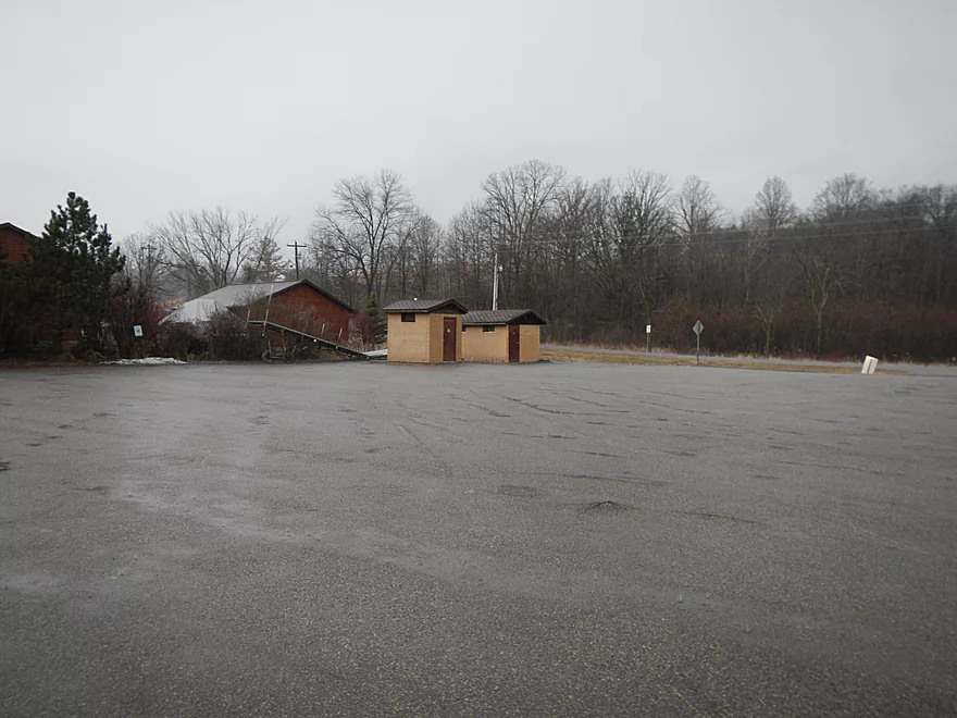
…and has bathrooms
But costs money
Section 11 Road Ramp
Also nice, no bathrooms and costs money
Big Creek

Initially, this trip was going to encompass Big Creek and the north end of Lake Redstone, but due to inclement weather and ice, I was only able to paddle Big Creek and parts of Lake Redstone. Big Creek is a northern tributary to the Baraboo River close to Reedsburg. Close to the mouth, there is a dam that forms a decent-sized flowage. This is referred to as Lake Redstone and is a popular recreation area for powerboaters.
In a previous review, I had reviewed the south end end of Lake Redstone and found it to be a positive experience. Despite the hustle/bustle of the motorboat traffic, the attractive red sandstone cliffs alongside the water made the trip well worth it. The idea for my current trip was to scout the north end of the lake and the main tributary (Big Creek) in order to find more of these nice rock formations–which ended in mixed results.
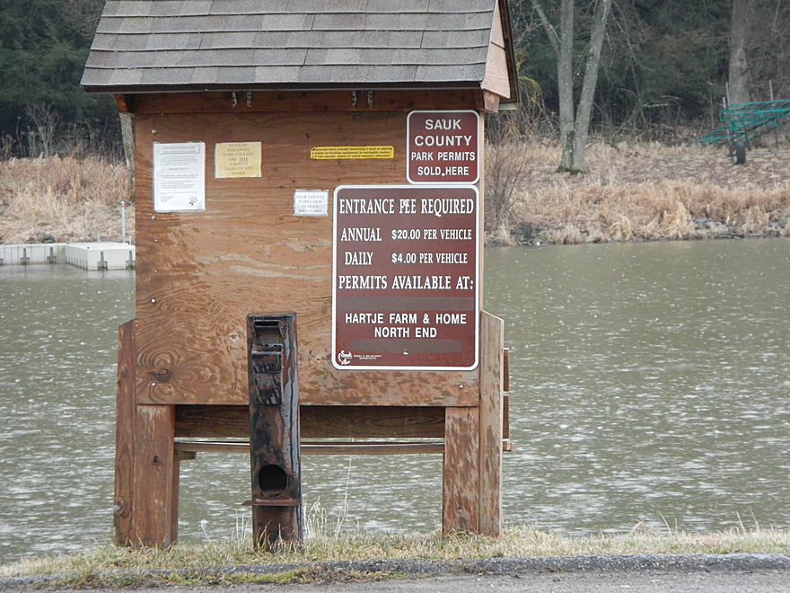
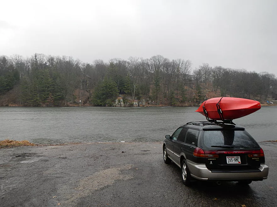
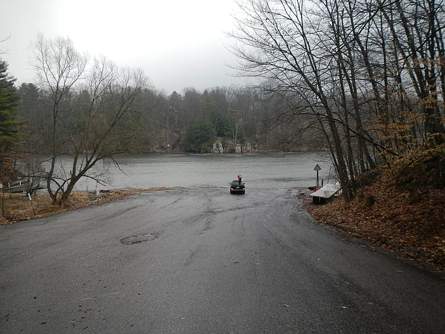
That I know of, there are three put-in options for the north side of Lake Redstone and Big Creek. There are two Sauk County landings in the Section 11 ramp (west side) and the Lake View Road ramp (northeast side). Both of these ramps require a Sauk County sticker and are actively checked. I believe there is a self-pay station at both ramps ($4 per day). The nice thing about the Lake View ramp (all of this is marked on the map and in the photo gallery), is that it does have bathrooms and the parking is close to the water. Ramp passes/county stickers are sold at “Hartje Farms,” a nearby gas, service, and sporting goods store. Assuming you’re a paddler like myself, you don’t need an expensive concrete ramp and oversized trailer parking…you just need access. So a third (and best…well, cheapest) option is to put in at the Hwy F bridge, which has an acceptable parking and launch area (for a bridge).
Hwy F kind of forms a divide where Big Creek stops and Lake Redstone begins. Just upstream on the creek you’ll see a magnificent rock bluff towering over your put-in, which had me optimistic about bluffs much further upstream on the creek (google terrain view had shown some intriguing outlines which I definitely wanted to scout out). By the bridge, there is a nice wetland and bay and plenty of waterfowl. I did see ducks, lots of geese, and two cranes.
Other than the wildlife, there isn’t too much special about Big Creek. It’s easy to paddle upstream because of the lack of current. It’s a classic small stream that is pleasant enough, but has its share of annoying branches blocking your route. I never did have to portage, but did have to do some fancy maneuvering for some sections. Ultimately, I reached the spot where I saw the intriguing relief on the map and was disappointed not to see any bluffs (just a boring non-photogenic old hill). So, just a half-mile up the creek, I turned around to continue the rest of my trip scouting Lake Redstone.
We had a great week for melting, and the local lakes in my area were all cleared up, so I reasoned that Lake Redstone would be completely ice-free. Oops. There were definitely open areas (especially along the shore), but the main corridor was plumbed up. I was able to do my best ice breaker impression (see video), and navigate to explore one “horn” on the lake, but couldn’t get far after that. Just as well, as the weather soured and I had to head back to port. The north end of Lake Redstone is very nice, with attractive bluffs, so I definitely want to continue to paddle this at a later date and do a proper investigation and review for this entire section.
So, what can I recommend from my experience? Well, first, if you are interested in doing Lake Redstone, do the southern half first, which I reviewed in detail here. If you do the north half, I suggest perhaps poking your nose up Big Creek a little bit to check out the nice bluff and waterfowl (and to get away from the powerboats), and then continuing a circumnavigational route up the East Branch of Big Creek (the much smaller sibling to the east), and continuing down at least to the Section 11 landing.
For the more adventurous, you could do the entire Lake Redstone. As the crow flies, it is perhaps only 5 miles. But to explore all the little “horns” and outcroppings on the lake would significantly lengthen a trip and make a complete round trip a chore (especially with summer motorboat traffic, which can create tough wakes because of the rock walls). A bike shuttle from F to the Fox Court landing might be feasible (a tough bike ride with the hills, but only 5.5 miles). Beyond Boundaries does kayak rentals on Lake Redstone and they might do shuttles or car drops if requested.
Trip Map
Overview Map
Video
Photos Size: