
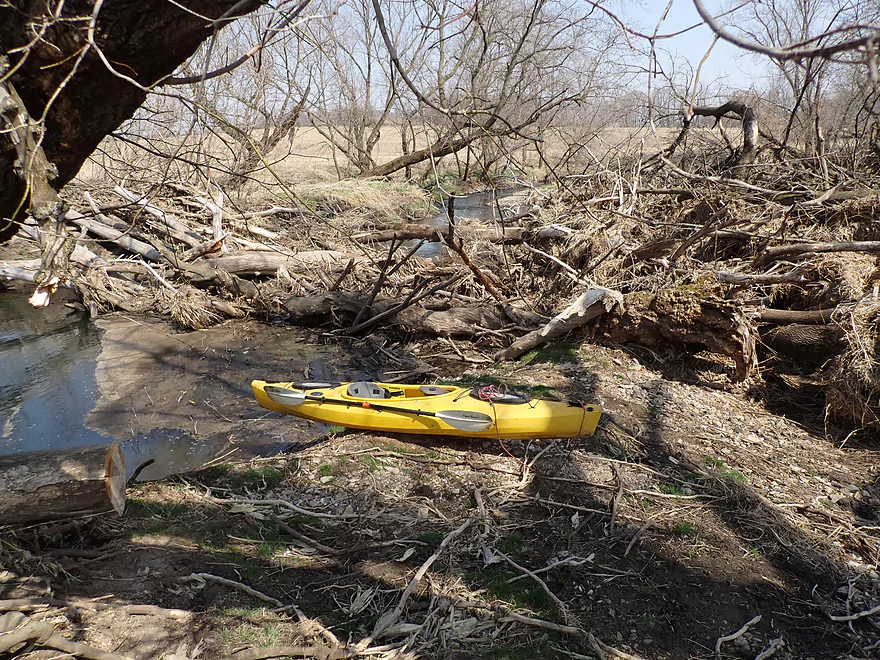
Starting the trip at Hwy A
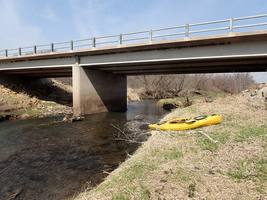
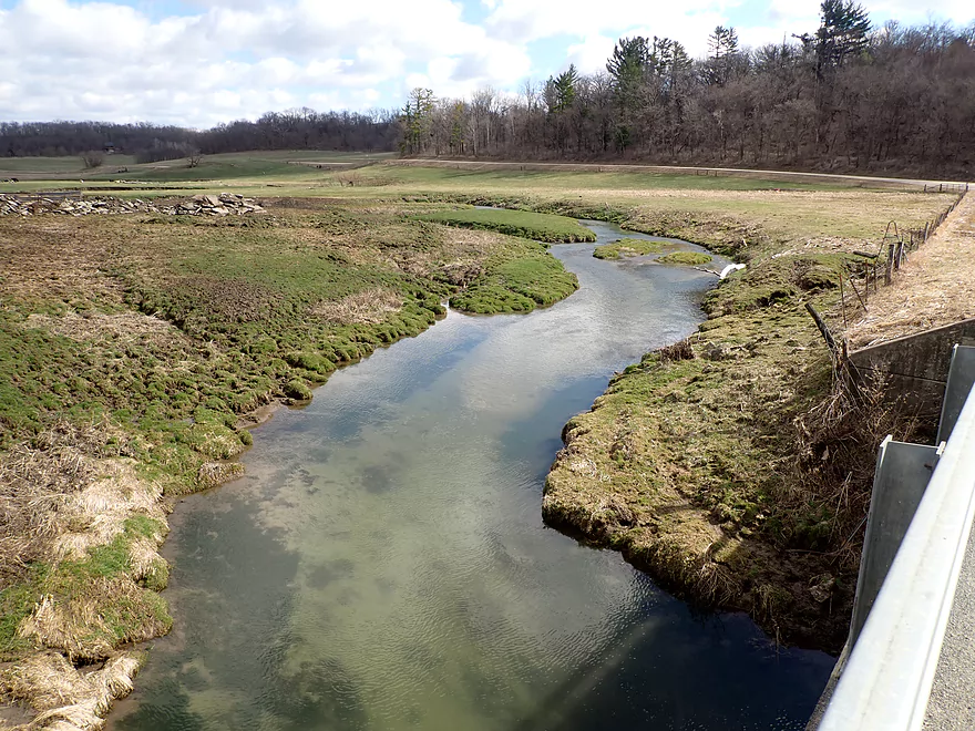
Launching below the bridge
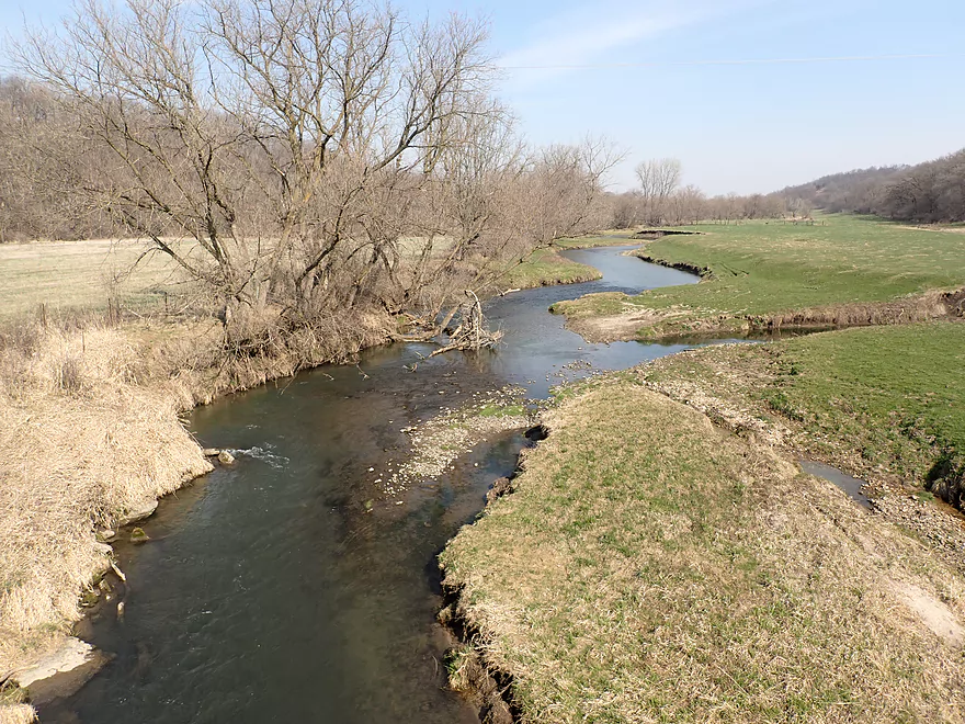
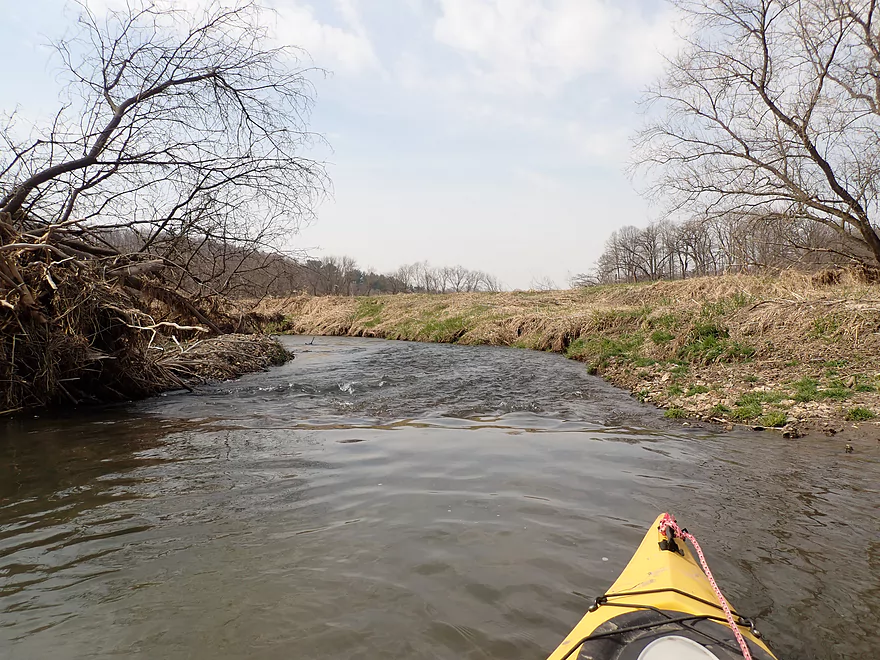
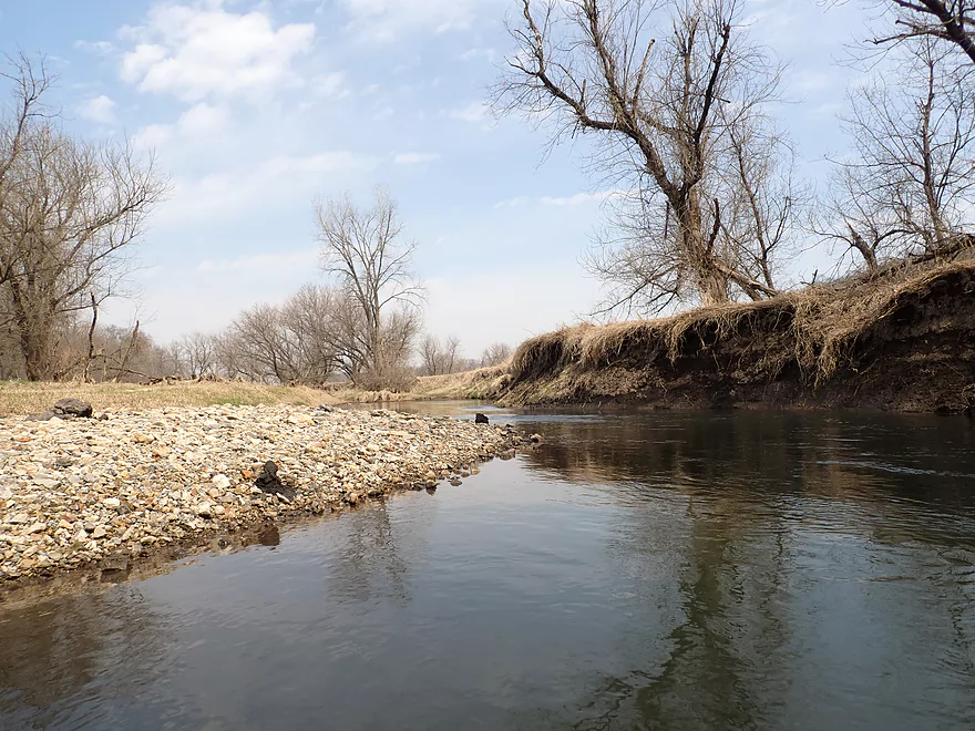
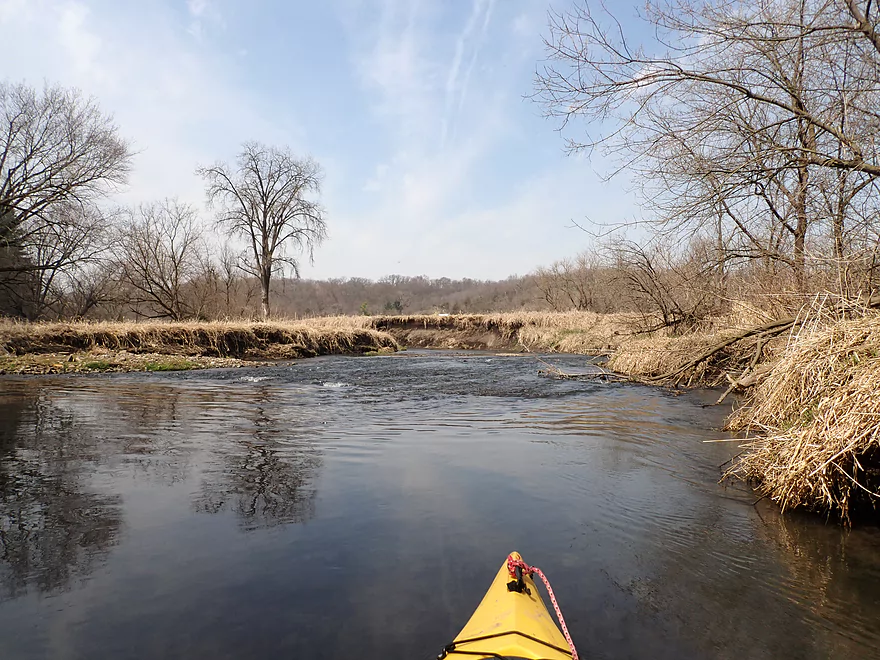
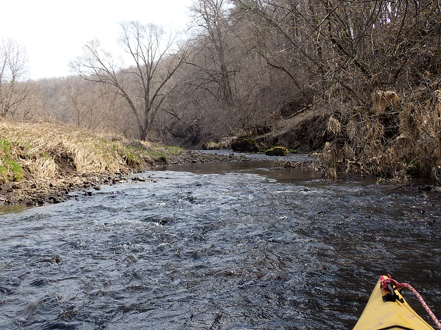
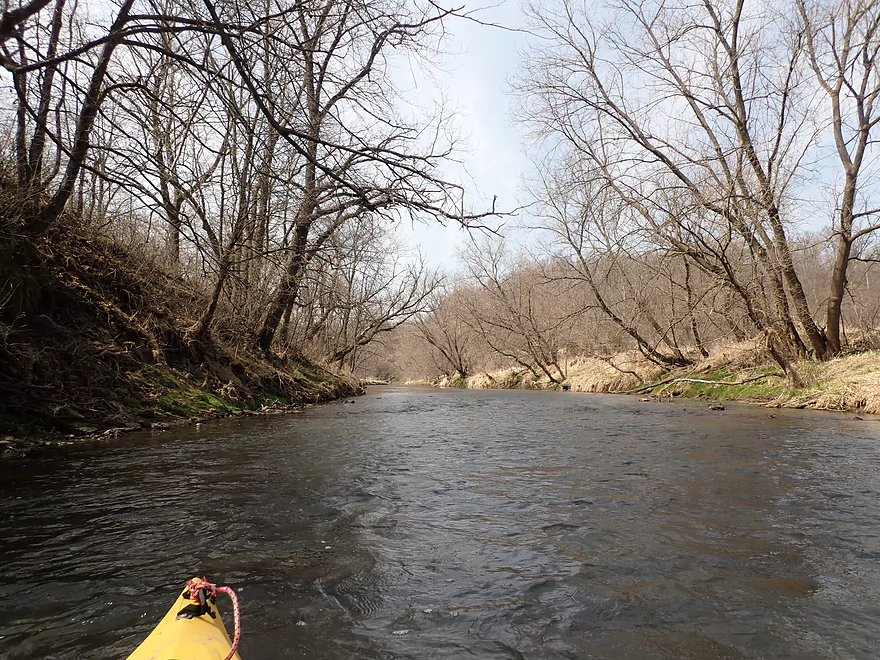
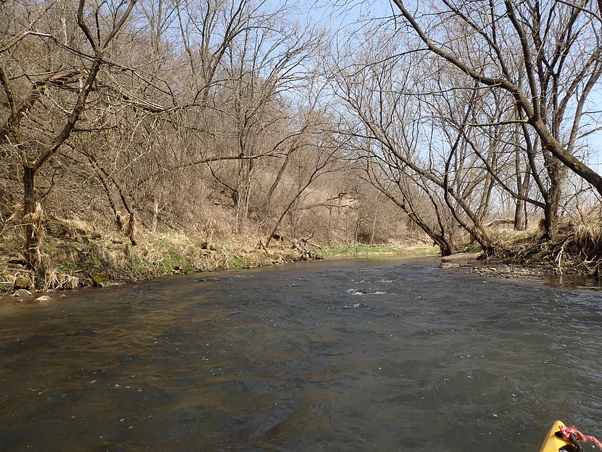
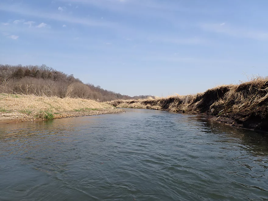
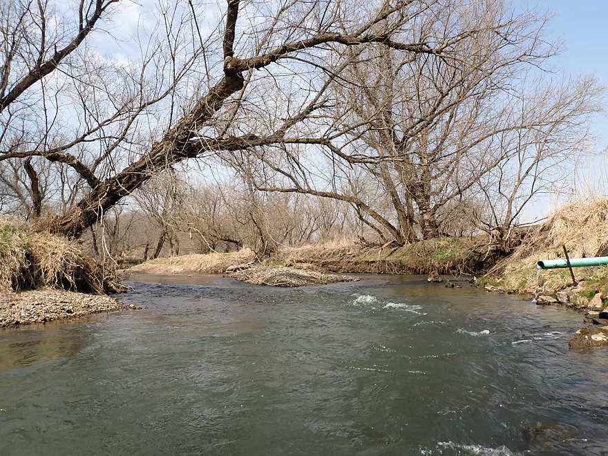
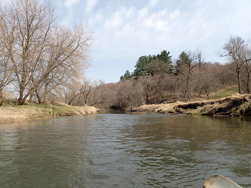
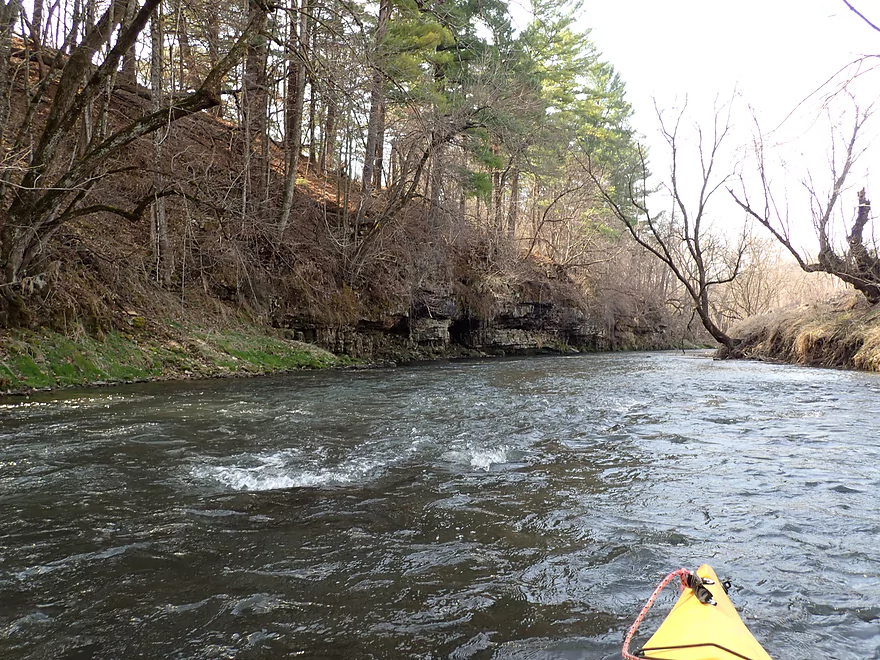
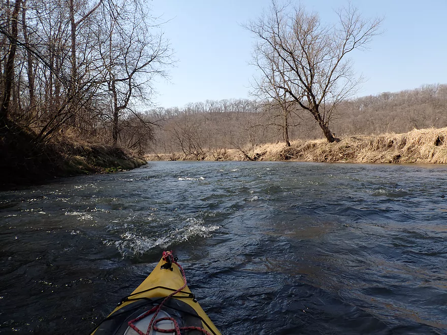
View downstream
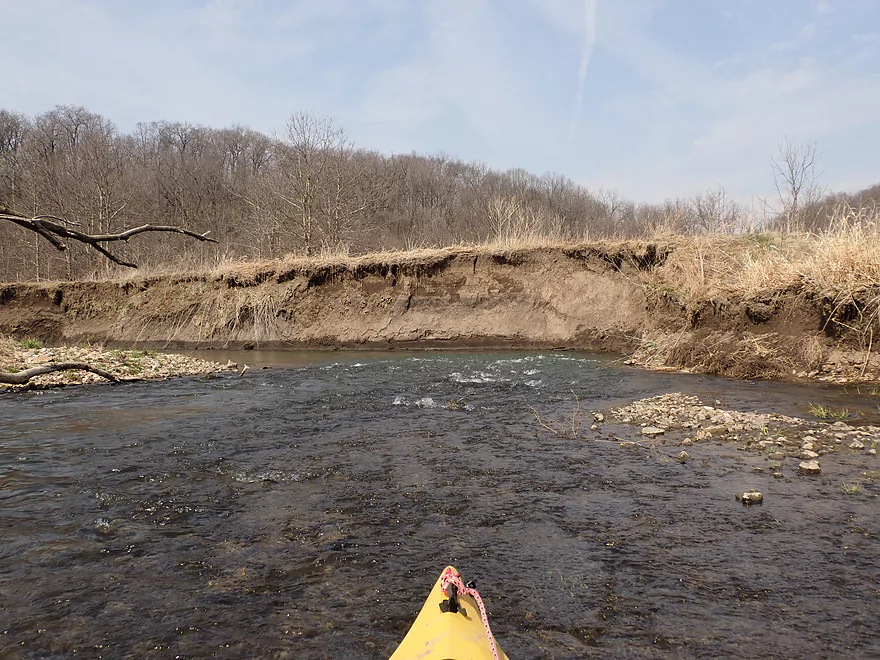
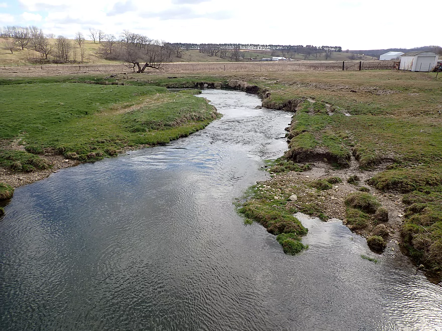
Eroded mud banks were an eyesore
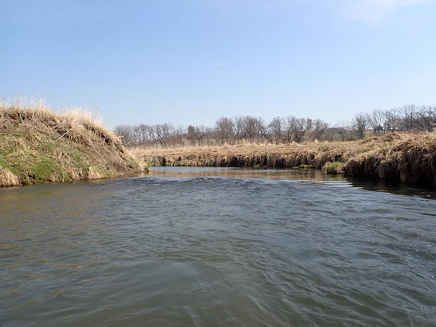
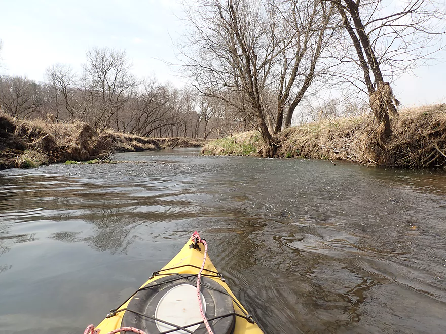
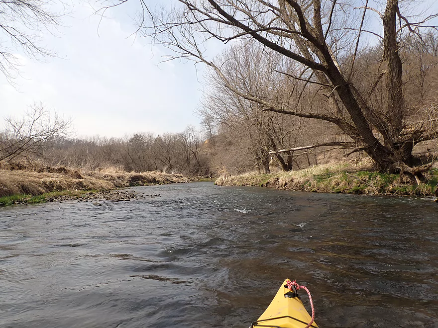
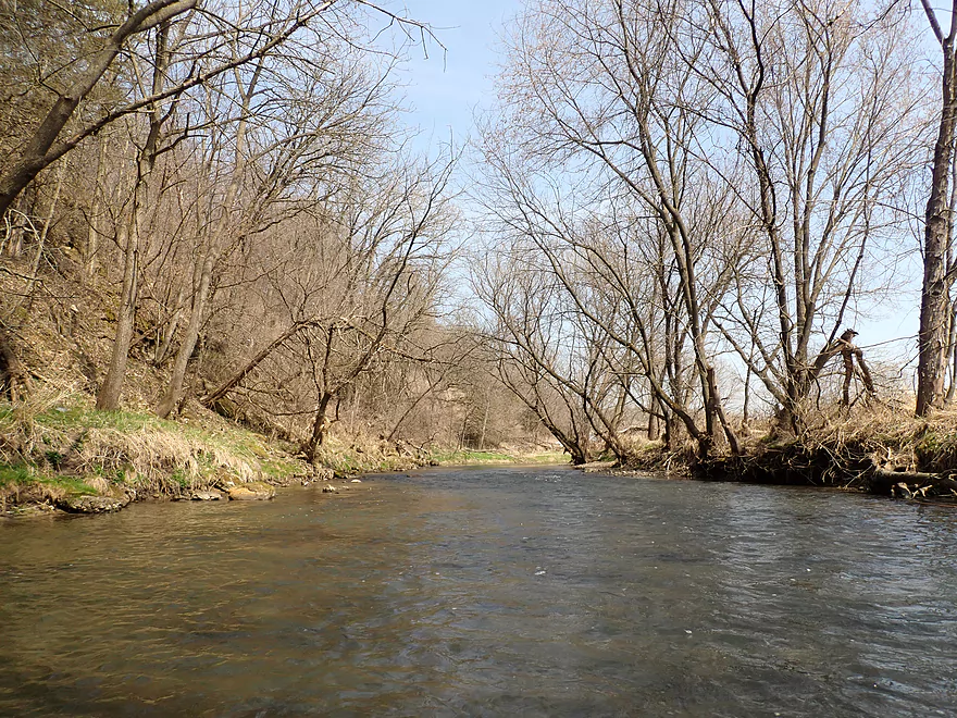
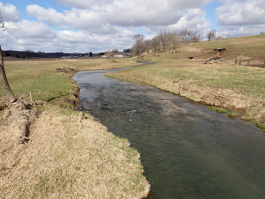
Very open to start
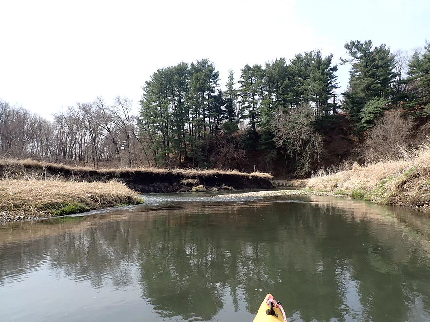
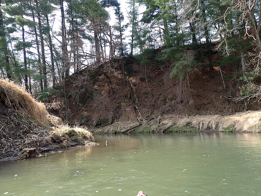
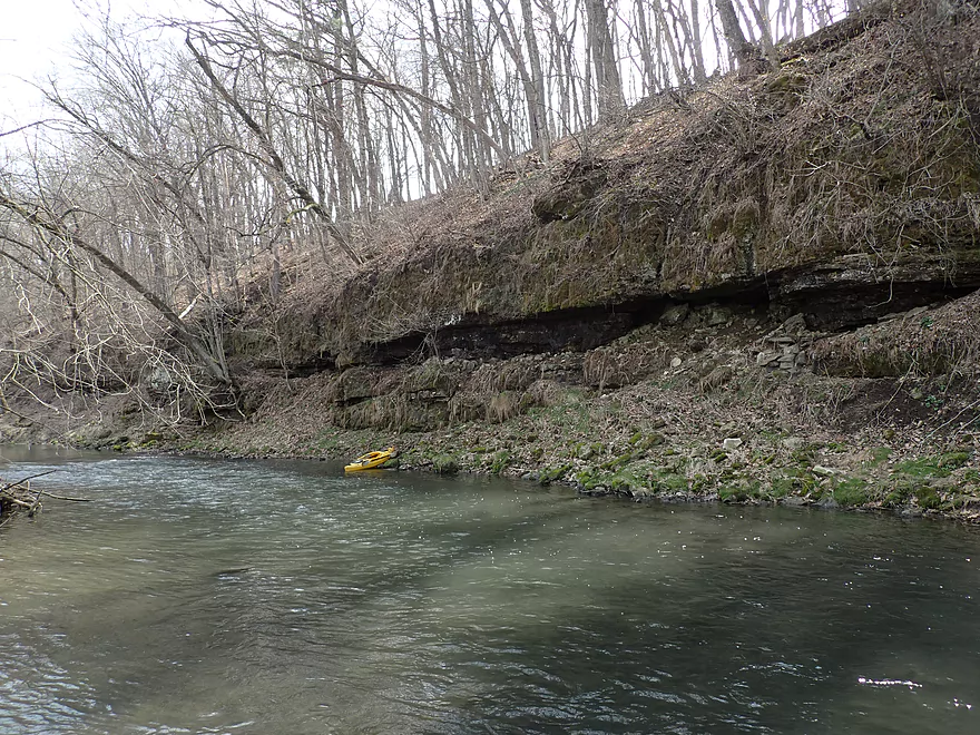
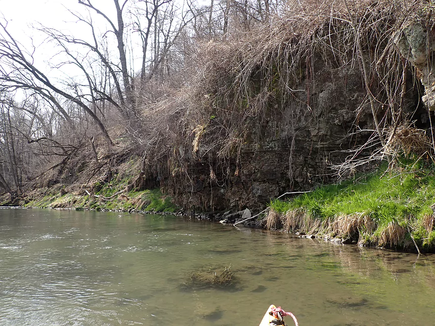
First bluff
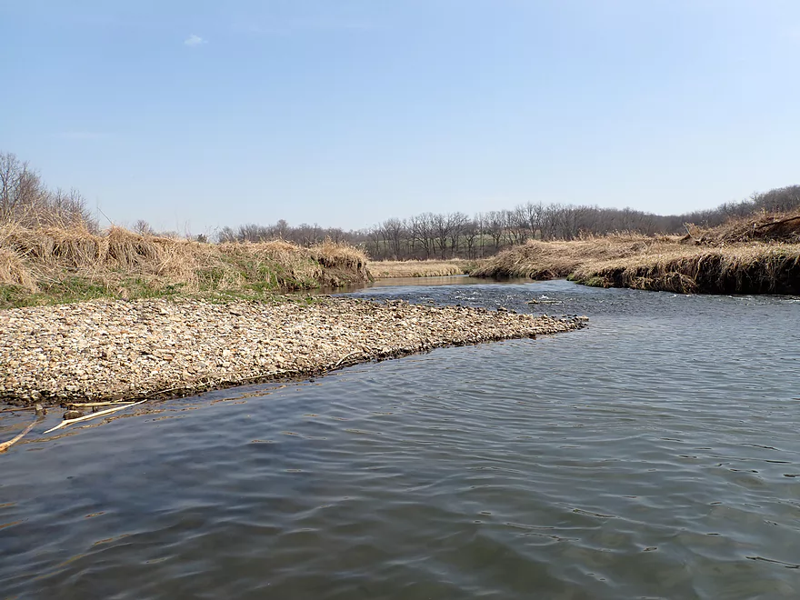
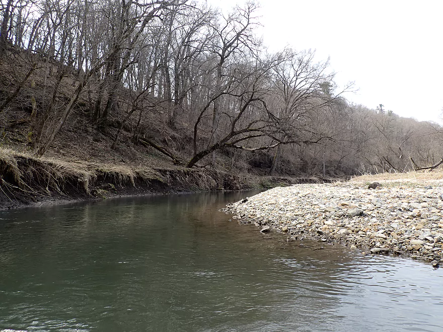
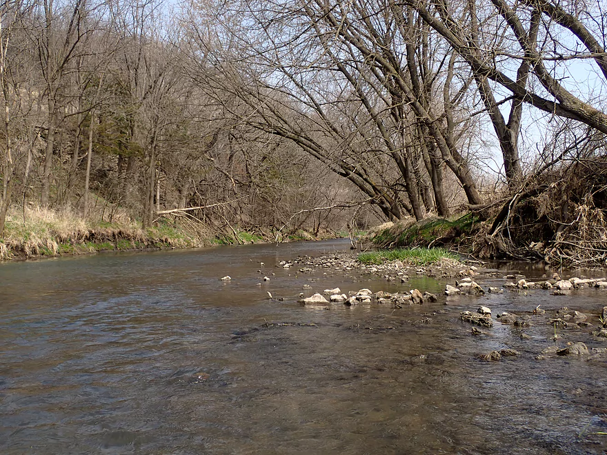
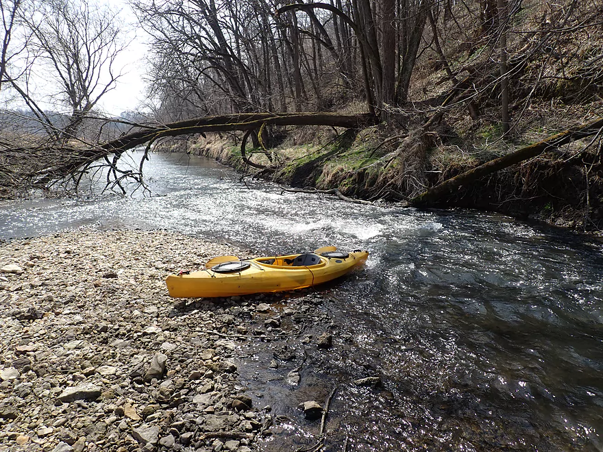
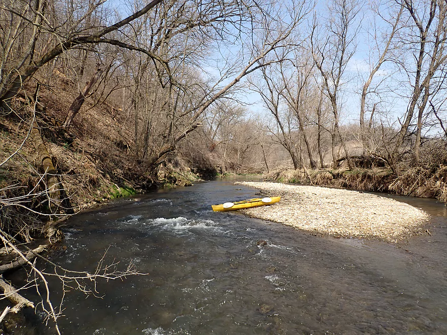
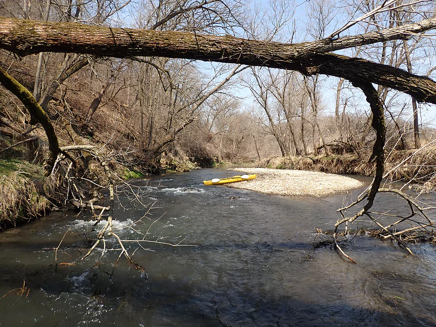
Some nice gravel bars
A thick pine needle carpet
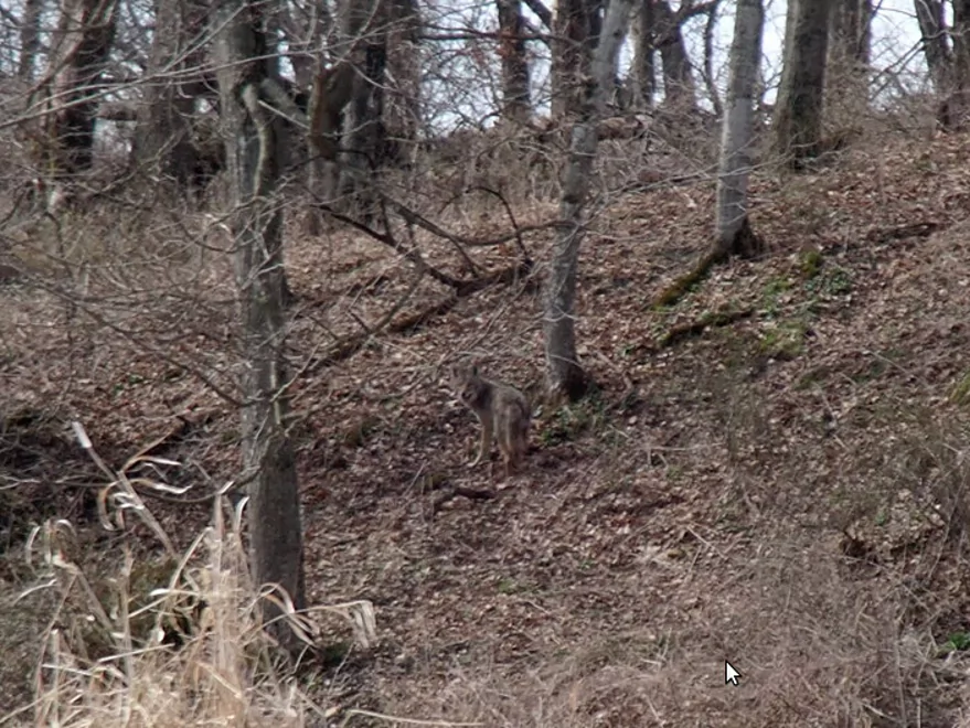
Poorly pictured…but that is a coyote
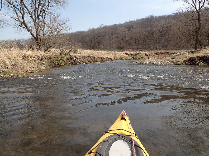
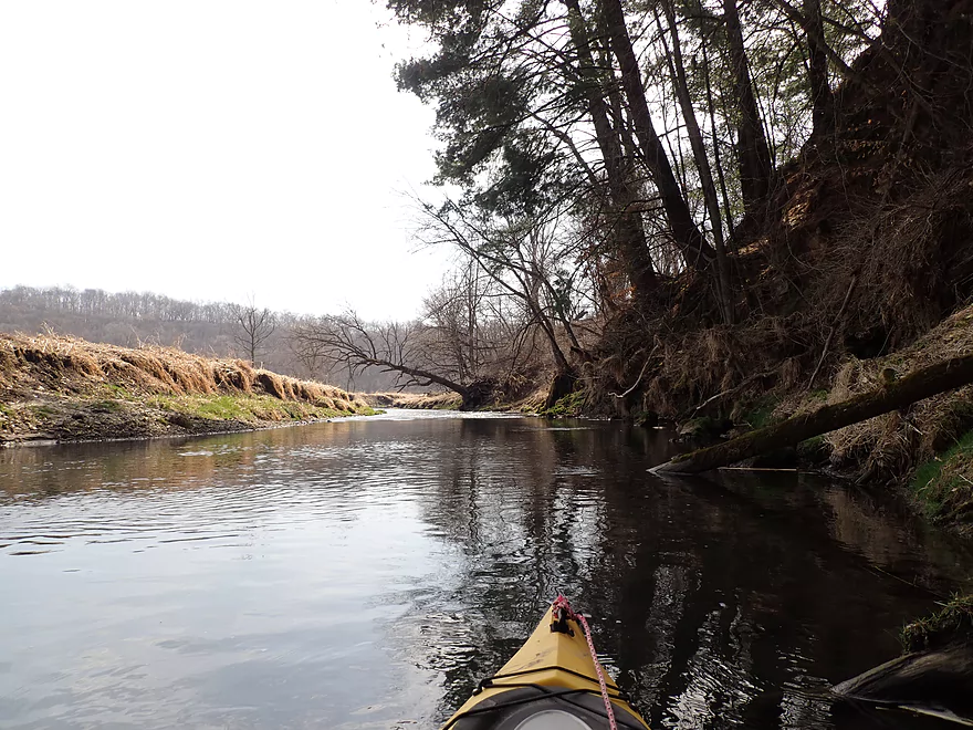
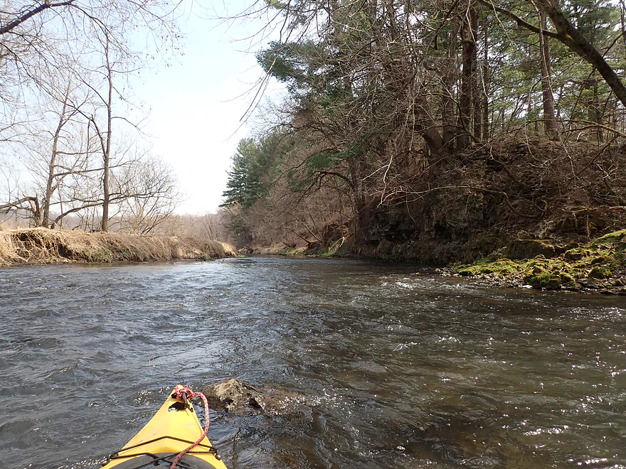
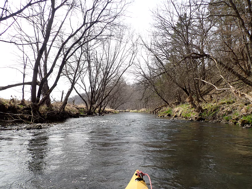
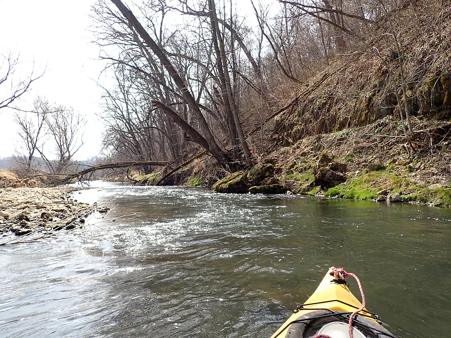
Lots of light rapids
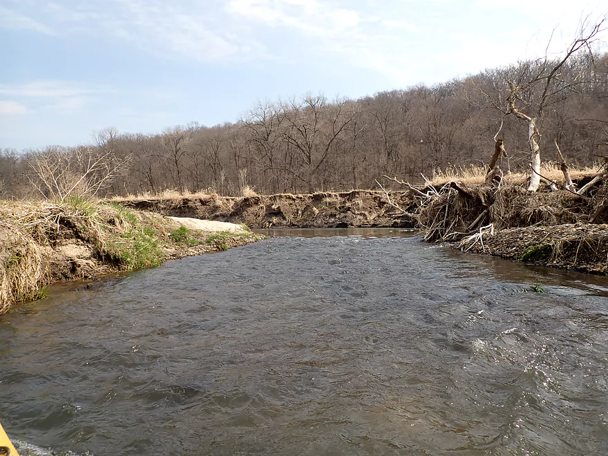
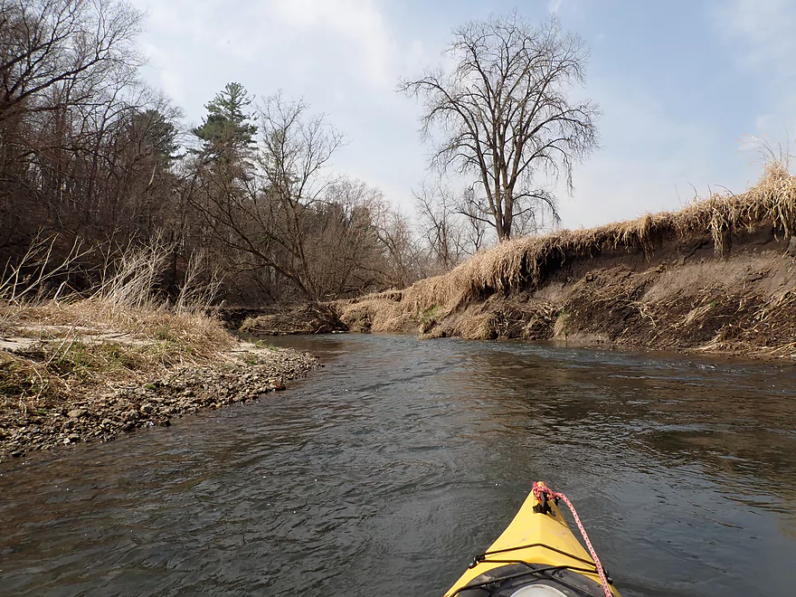
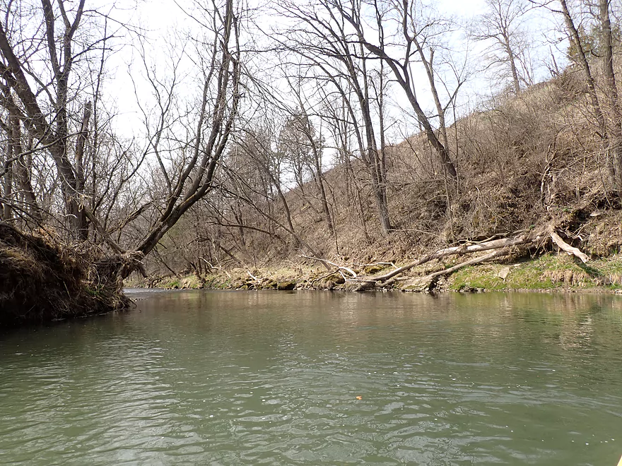
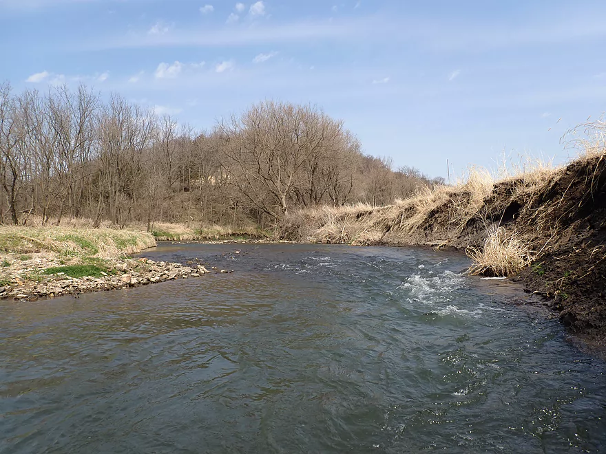
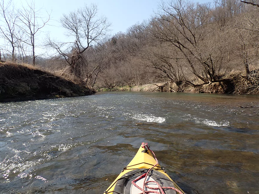
More eroded banks
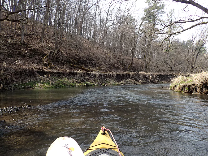
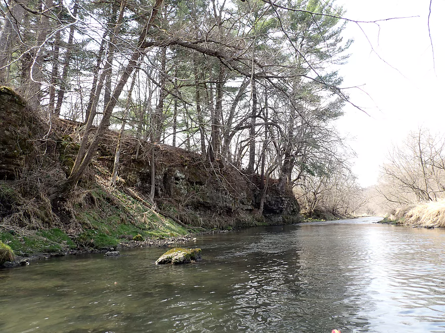
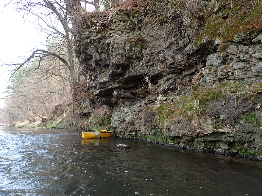
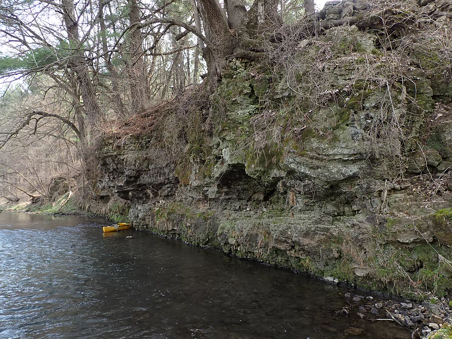
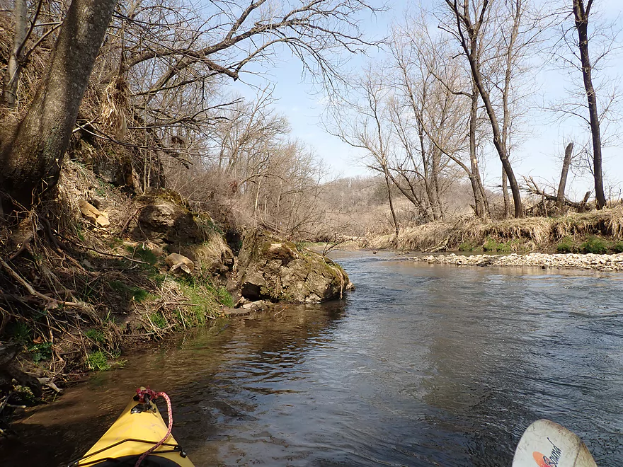
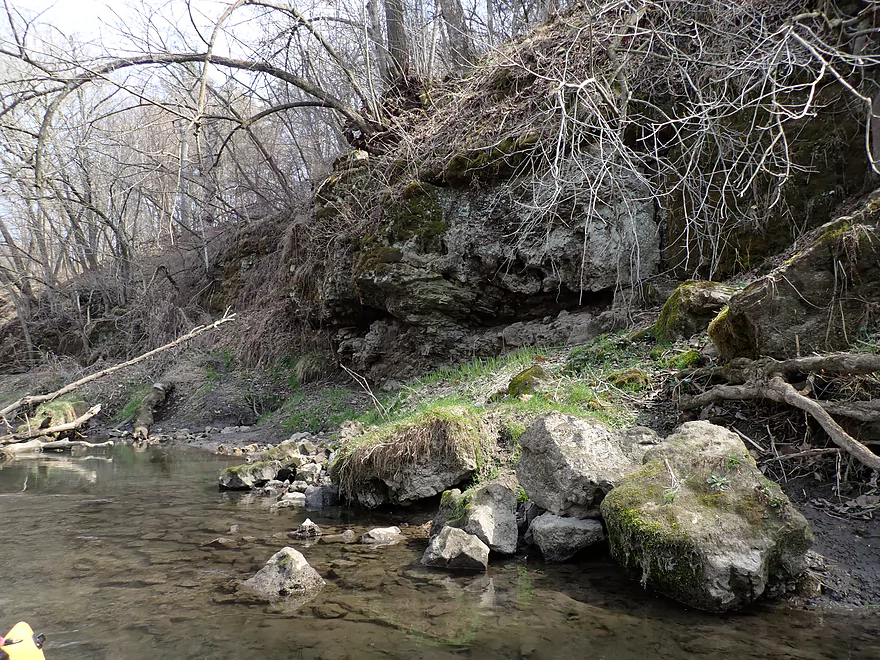
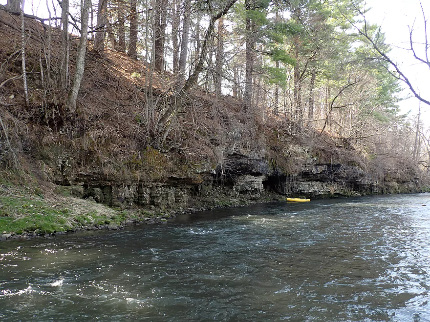
Another nice bluff
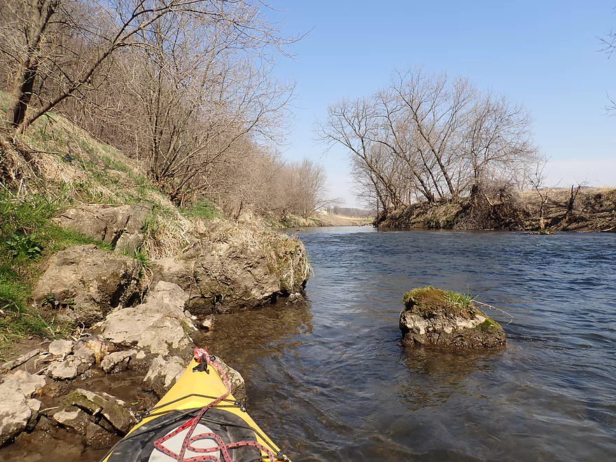
Scenic outcrops
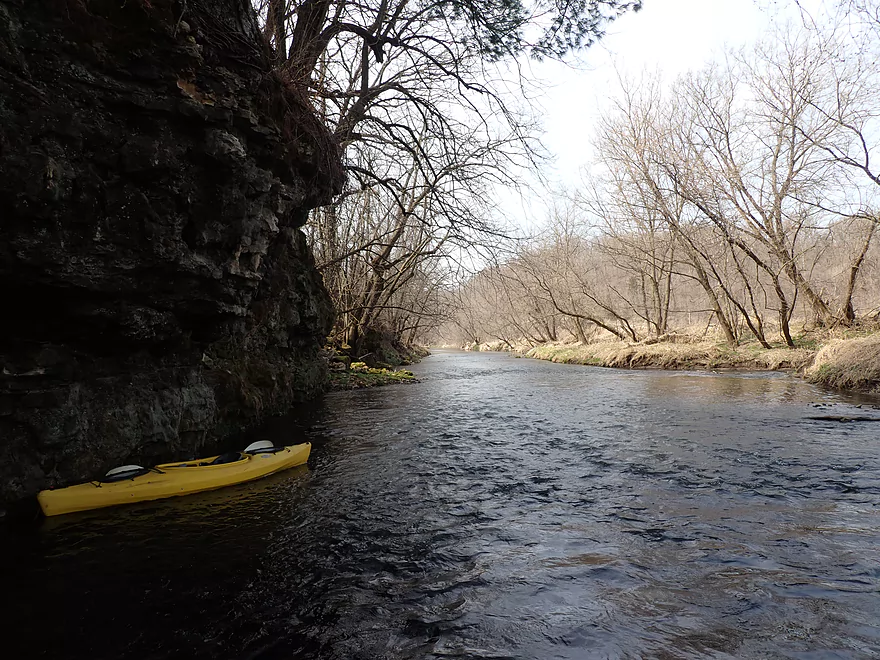
Reverse view
Another bluff
Exploring a side channel
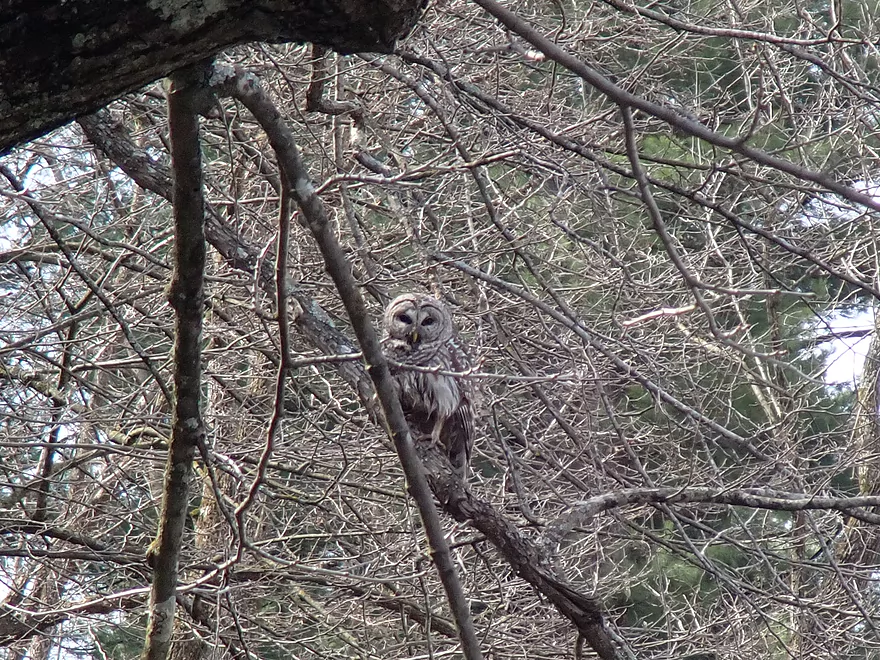
A barred owl
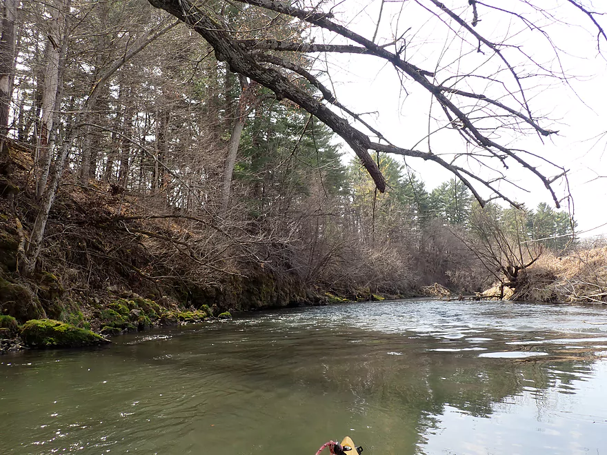
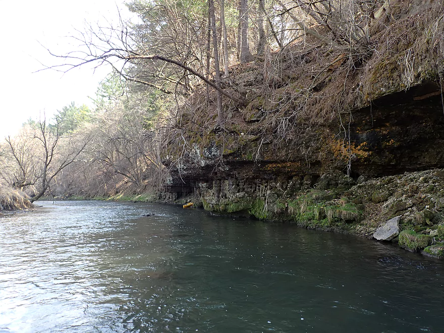
Another scenic stretch
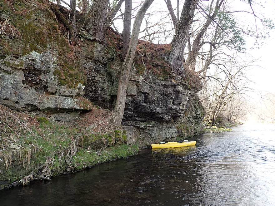
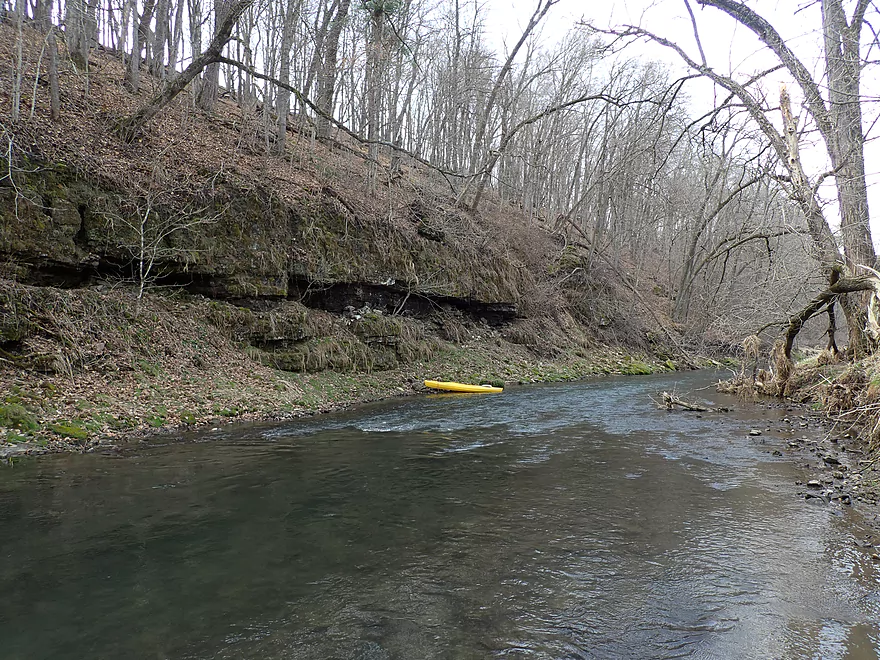
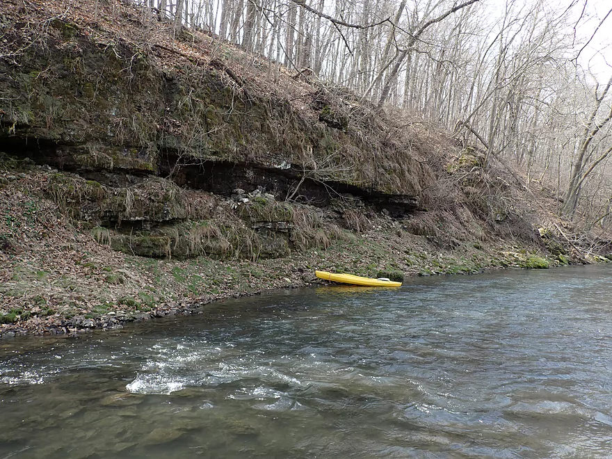
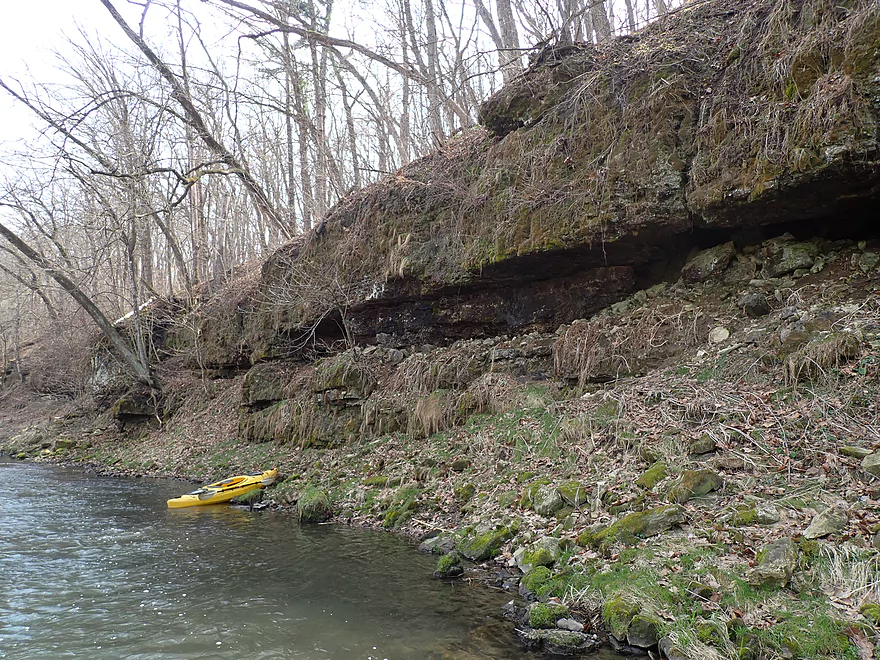
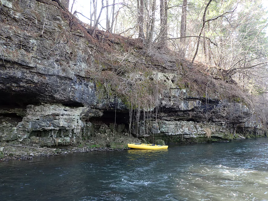
Terrific limestone
Very old and very rugged–ancient seas once covered this area
On to the next bluff…
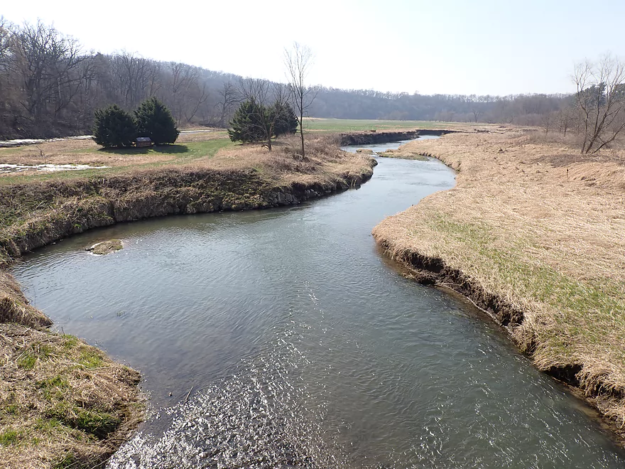
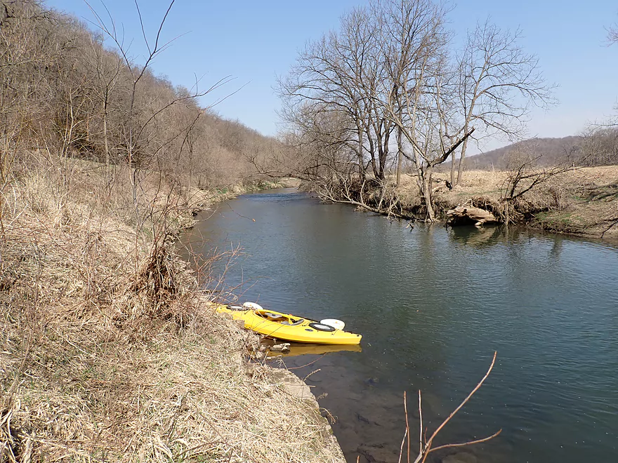
Another scenic stretch
This would look very different in the summer
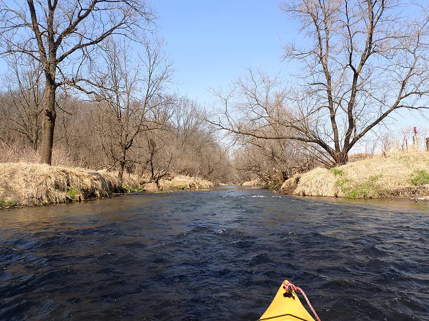
This was mostly a very open river
A hidden limestone outcrop
Neat scene
Reverse view
Only major logjam…easy portage
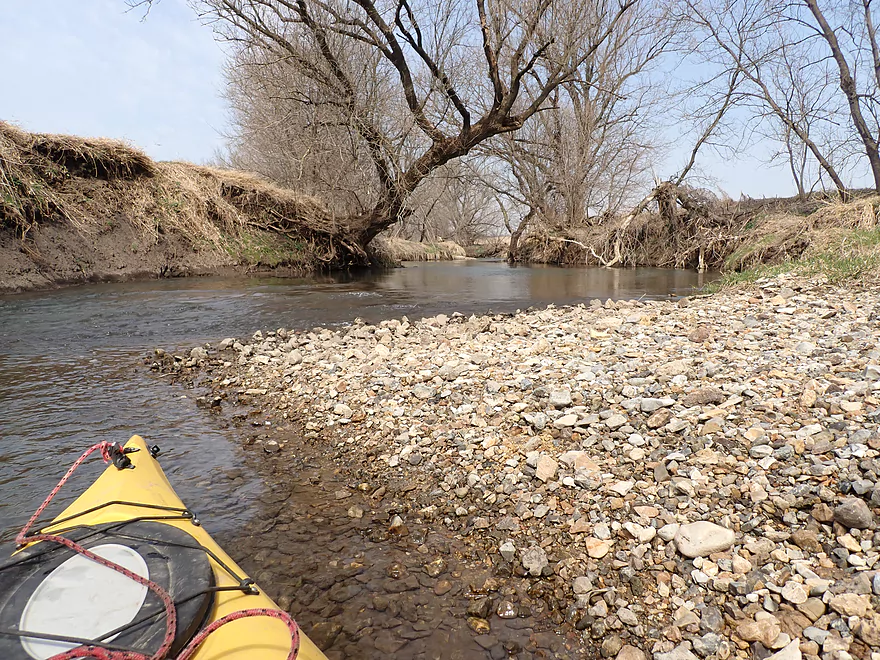
Lot of gravel
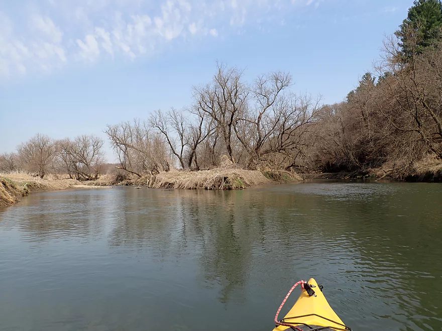
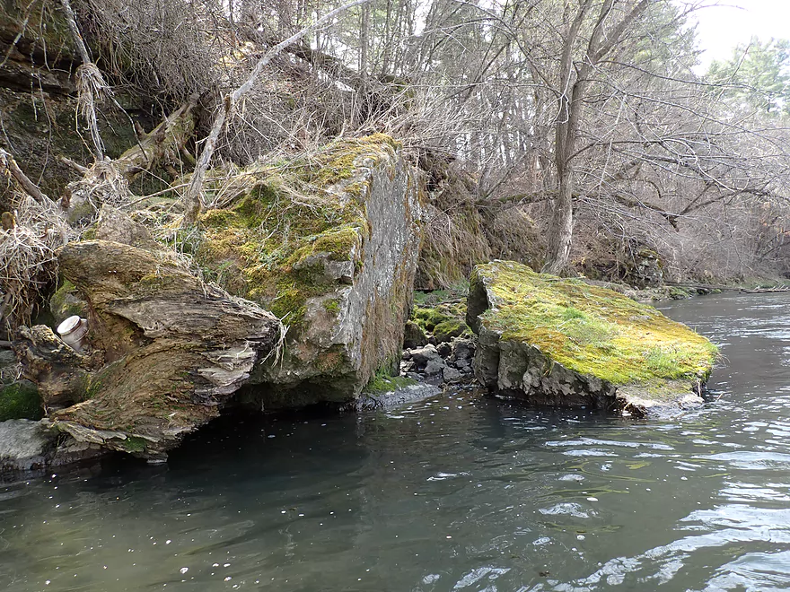
Little Grant (left) meets Big Grant (right)
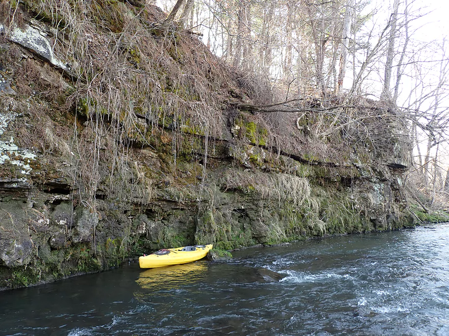
The Big Grant has many outcrops of its own
Pines lead to the next set of outcrops
Coming up on the best part of the trip
A nicely sliced rock
Terrific limestone
There is a small cave here
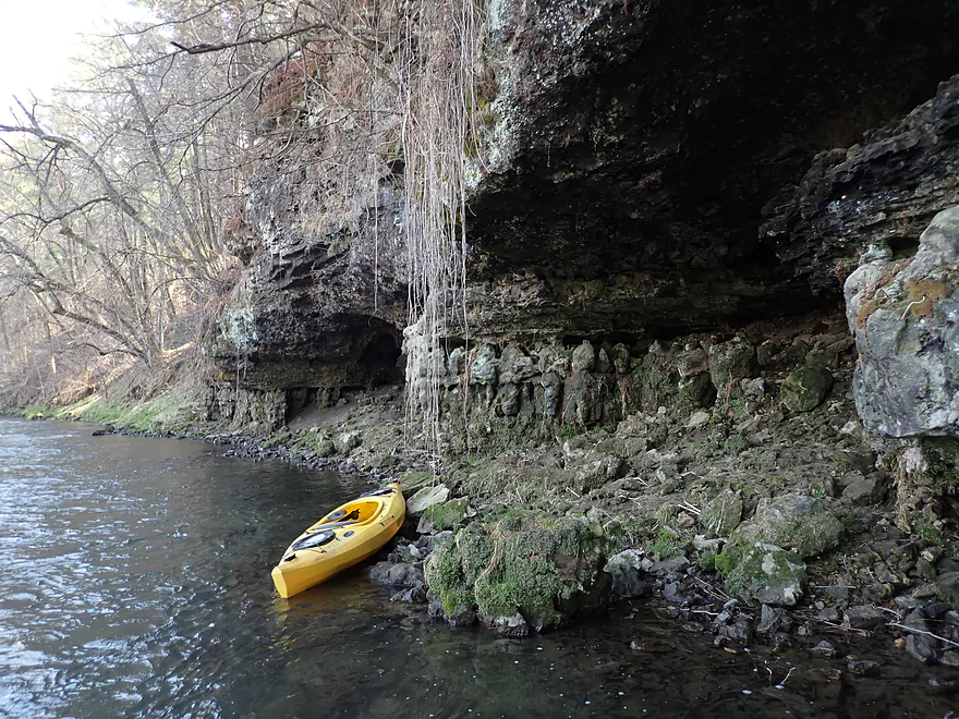
It’s not too big
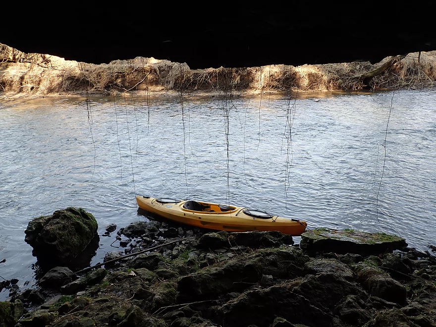
Looking out
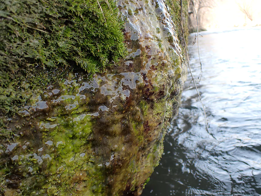
A spring seeps over this moss-covered rock face
A second downstream outcrop
Final stretch
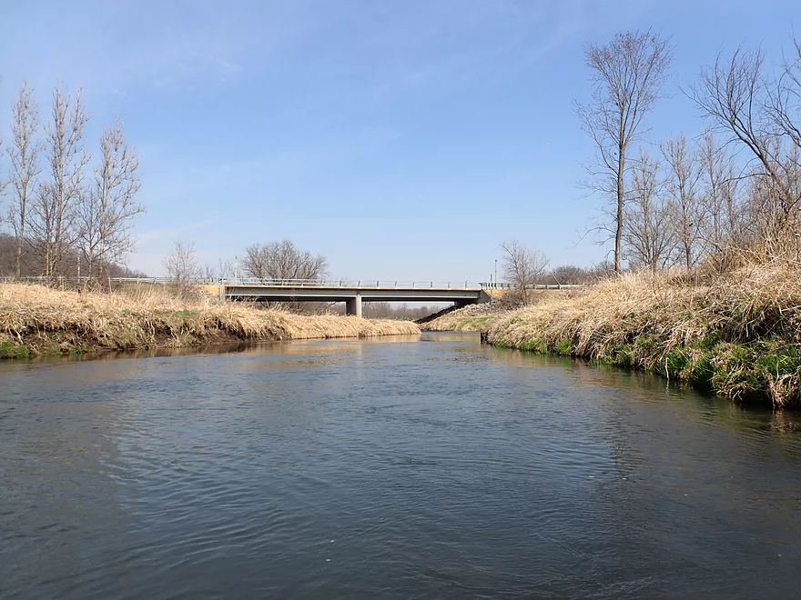
Taking out at University Farm Rd
Scouting other bridges…this is Miner Rd
This is Badger Rd
This is Govier Rd (not a good access because of a fence)
Little Grant River

The Little Grant located in Southwest Wisconsin is one of the Grant River’s major tributaries. I’m not sure if it sees much (if any) paddlers, so it was a bit of an unknown. But I reasoned because the “Big Grant” was so nice, it was worth throwing the dice to check out its little sibling.
While multiple segments of the Little Grant are likely viable for paddling, I suspected upstream legs have fence issues so opted to do the very last leg (A to the mouth).
My first trip impressions were a bit mixed. On the plus side there were many fun Class 1 rapids and the river was relatively open and free of logjams. But on the downside, erosion was a serious issue and tall mud banks were a bit of an eyesore.
The trip became more interesting however after I encountered my first bluff. It didn’t have extravagant rock outcrops, but was topped with a thick pine needle carpet which was cool. Immediately after this bluff, I spooked a coyote who raced away from me.
The geology improved significantly after the Martin Branch joined up with the Little Grant. Soon after the river flowed by a steep hillside with terrific limestone outcrops at the base. For the next mile the river alternated between open bottomlands and steep hillsides, with the best scenery always being by the bluffs.
Close to the mouth and the confluence with the “Big Grant”, I finally encountered a major logjam, but thankfully it turned out to have a super easy portage. It was a neat scene at the mouth where the “Big Grant” ran along a large bluff almost a half mile long. Here there were many spectacular limestone outcrops which were the best of the trip. I’ve done a lot of Grant River trips, and I was surprised that I had over all these years overlooked this segment.
For the last leg, the river opened up before crossing under University Farm Rd. This wasn’t an easy take-out but I made do. I suspect most paddlers would simply continue to one of the two next bridges (both of which are better take-outs).
In summary, this trip was a pleasant surprise. I thought there would be more fence issues, and logjams, and less limestone outcrops but was thankfully wrong on all counts. The only downsides were the put-in and take-out weren’t super ideal. Casual paddlers will want to first explore the Grant River instead, which is one of the better paddling rivers in Southern Wisconsin.
The highlight was a coyote that I believe was feeding on a dead deer by the river. I also saw a barred owl with what looked like a mouse in its mouth.
Hwy A: This was a mediocre bridge access. The embankment was steep and several corners had fences by them, but the southern corner was open and it was easy to launch there. If you use this bridge, be considerate and stay within the DOT right-of-way as the adjacent land is marked No Trespassing.
Alternate Put-ins:
- Badger Rd: 3.9 miles upstream. This is a nice prospect that is mostly open and has a few outcrops, but also some logjams. The big issue though is fences, including what appears to be a low electric fence by Govier Rd. That might be a deal breaker for Upper Little Grant adventures. You can scout the fence in question by simply driving over the Govier Rd bridge.
University Farm Rd: This wasn’t a great take-out. The shoulders were quite steep on the west side where I disembarked. While the eastern side was more manageable it was close to a home so wasn’t as private. I suspect most paddlers will simply keep paddling to Slab Town Rd or Hwy 35/81 which are better access options.
Alternate Take-outs:
- Slab Town Rd: 1.5 miles downstream from University Farm Rd. A good stretch with a series of nice limestone outcrops.
- Hwy 35/81: 3.5 miles downstream from University Farm Rd. Same as above plus a more open stretch with one additional outcrop.
University Farm Rd to Hwy A: 3.4 miles with 282′ of ascent. There is one brutally steep hill that had to be walked…thankfully the entire bike shuttle was relatively short.
Current: Mostly pool and riffle common to southwest Wisconsin.
Fences: There was a fence at the put-in but that wasn’t an issue. I don’t recall any other fences on the trip.
Logjams: This was a surprisingly open river. There was a large logjam close to the mouth though, but that was an easy portage.
Rapids: There were many light rapids, but none greater than Class 1 in my estimation.
Strainers: Weren’t really an issue. When the river gets high though, the current could get pushy and then there might be some issues.
Closest Gauge: Grant River @ Burton
Trip Depth: 300 CFS or 6.43′
Navigability Estimates: The following are just rough guesstimates.
- 0-150 CFS: Likely too low.
- 151-250 CFS: A low depth that would require walking some of the rapids.
- 251-350 CFS: A good target range.
- 351-450 CFS: A high depth, but should be manageable.
- 451-550 CFS: Water levels will be fast and pushy. Only suitable for experienced paddlers.
- 551+ CFS: Perhaps too high for enjoyable paddling.
- Miner Rd to Badger Rd: 2.7 miles. Open and riffly with maybe 2 logjams. There could be some fences to deal with.
- Badger Rd to Govier Rd: 0.7 miles. Also open and riffly…but likely a serious electric fence to deal with just upstream of Govier Rd. While you could launch below the fence at Govier Rd, that is a very bad access I don’t recommend.
- Govier Rd to Hwy A: 3.2 miles. Maybe 2-3 logjams, riffles, some cow fences, and 1-2 outcrops. Govier Rd is again a bad access.
- Hwy A to University Farm Rd: 3.0 miles.
- Hwy A to Mouth: 2.6 miles. A good leg with many fun light rapids and a few scenic limestone outcrops.
- Mouth to University Farm Rd: 0.7 miles. A great leg with two fantastic limestone outcrops.
- University Farm Rd to Hwy 35-81: 3.7 miles.
- University Farm Rd to Slab Town Rd: 1.5 miles. A good stretch with a series of nice limestone outcrops.
- Slab Town Rd to Hwy 35-81: 2.0 miles. This leg is a bit more open. Only one outcrop.
Trip Map
Overview Map
Video
Photos Size: