
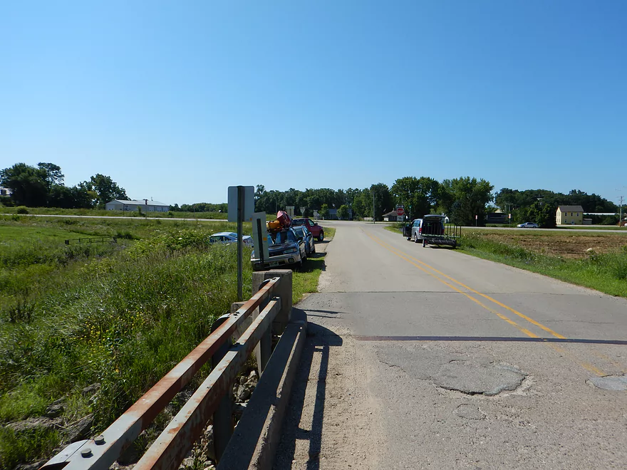
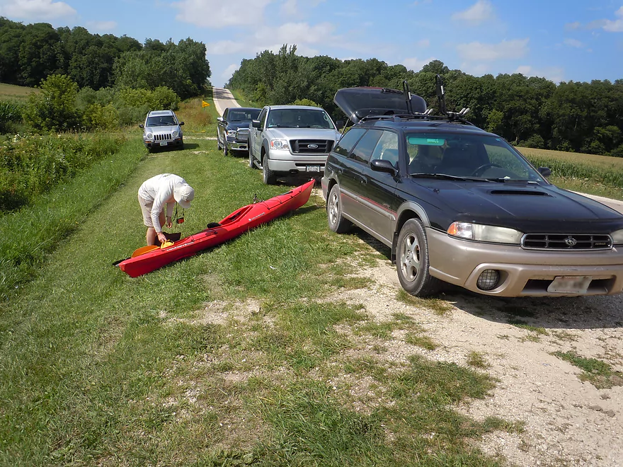
Putting in at Simon Road
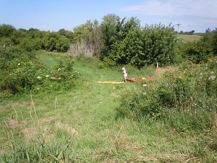
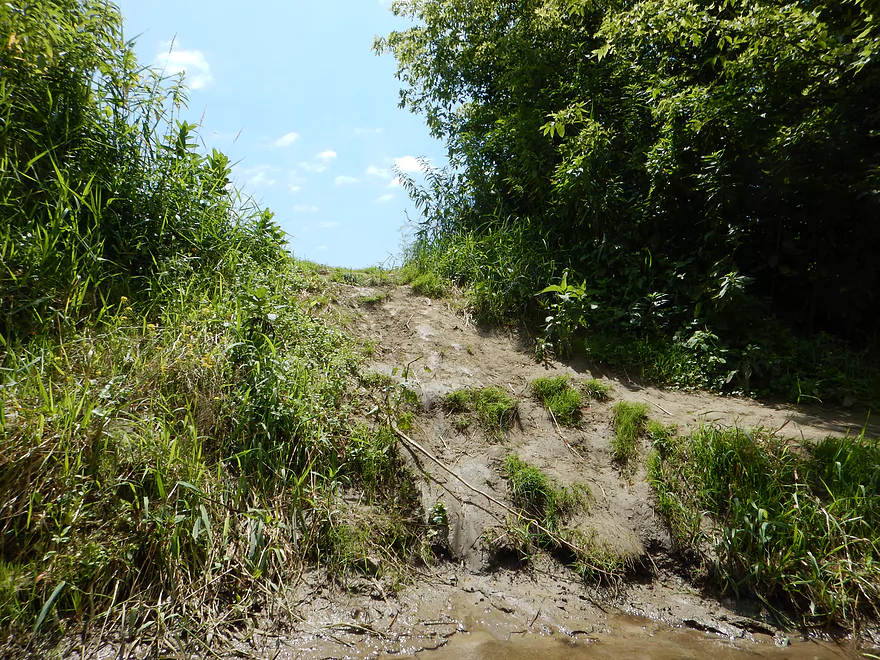
Grassy path leads to the new launch
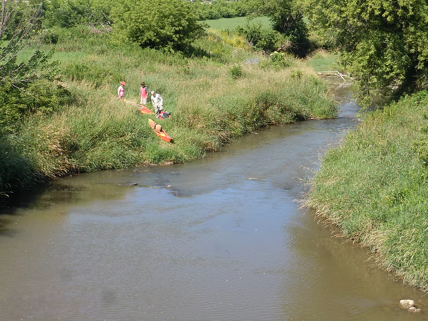
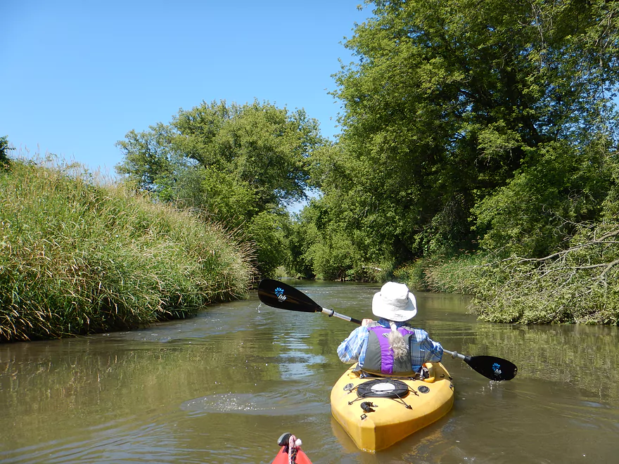
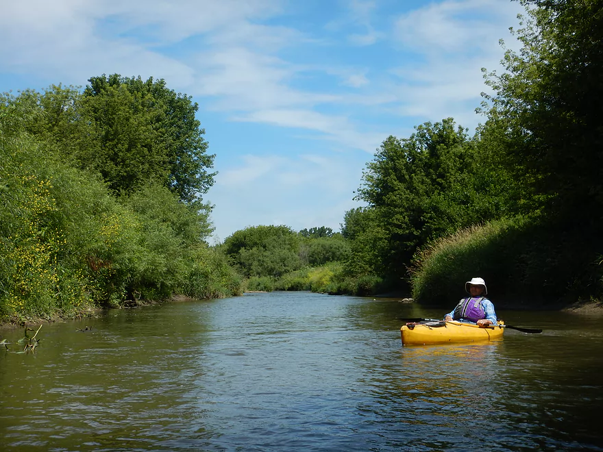
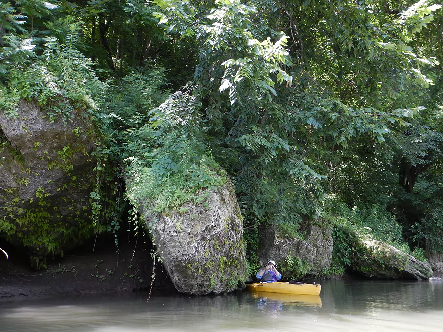
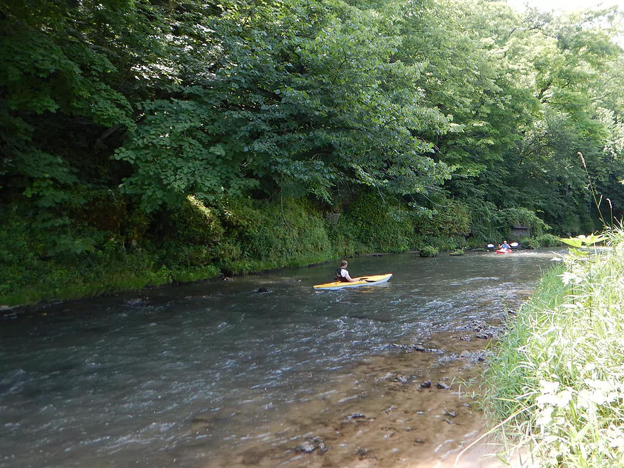
Popular with paddlers
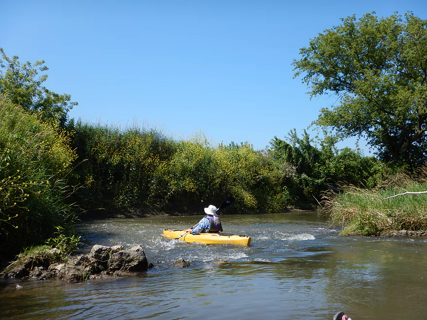
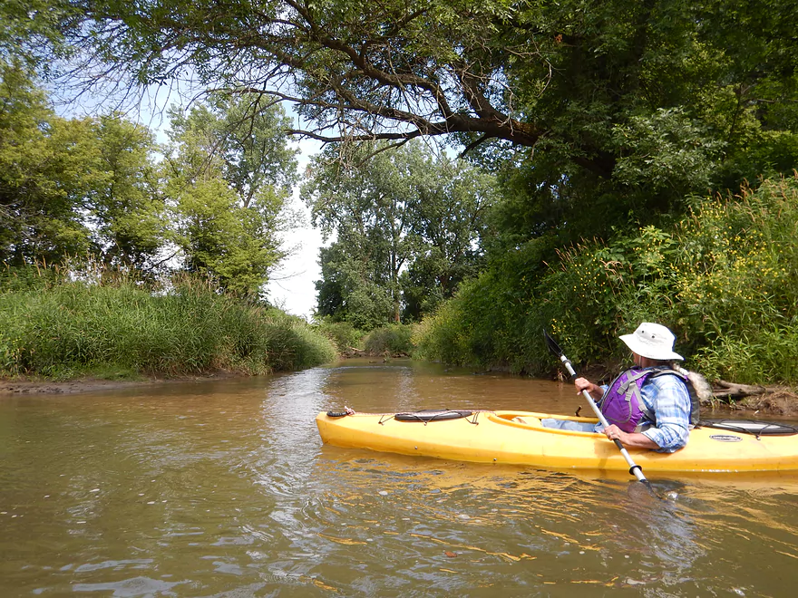
Exploring a side tributary
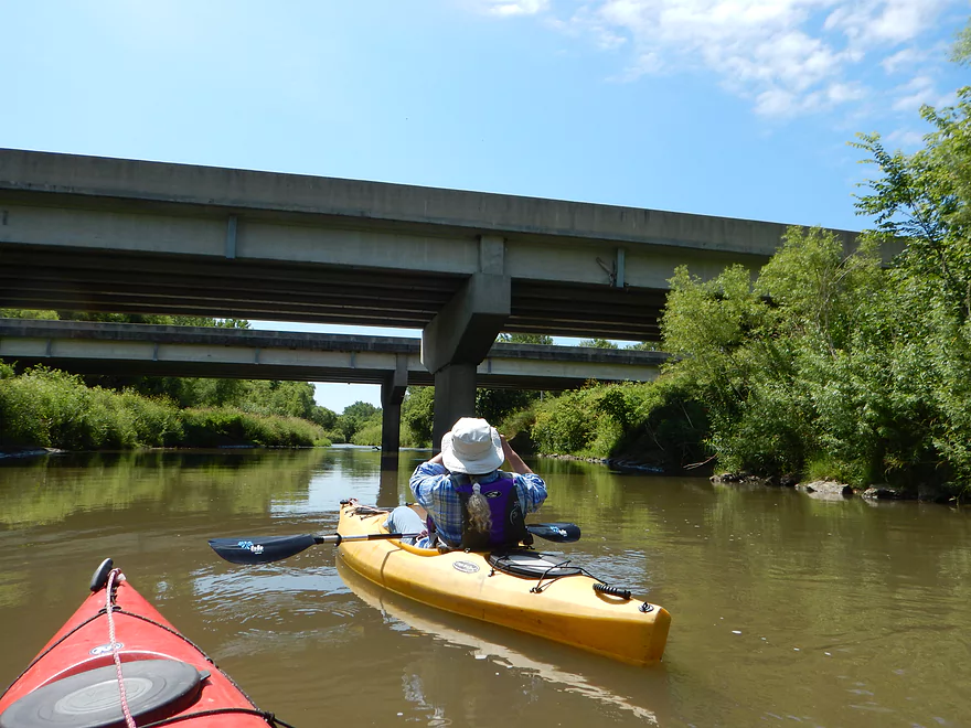
Hwy 151
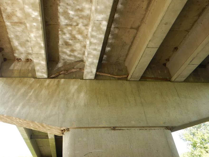
Showing how high the creek can get
Another fun chute
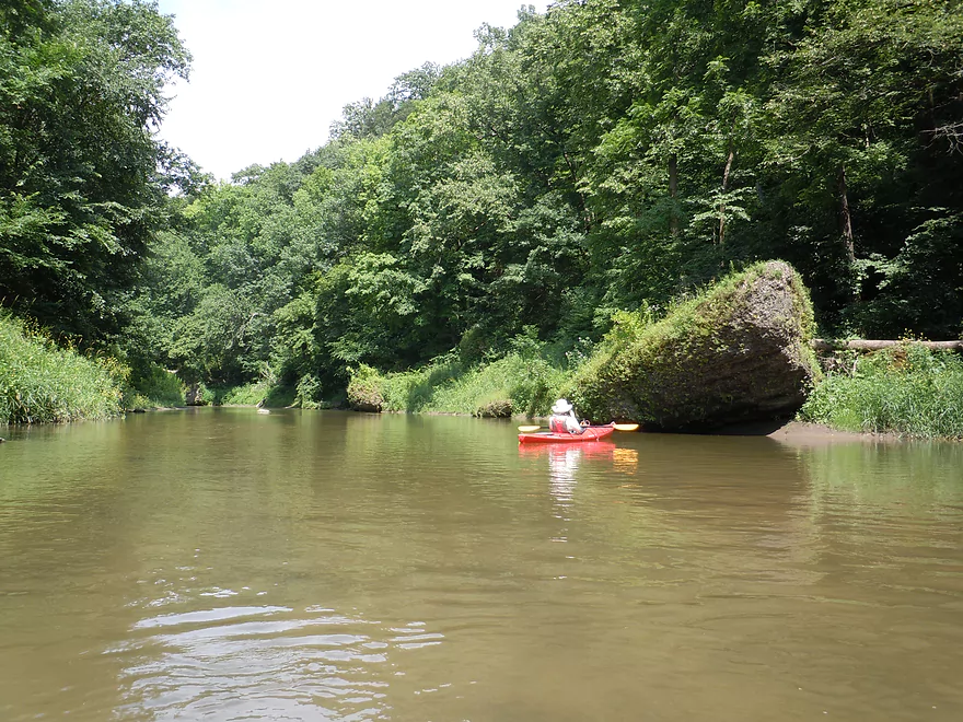
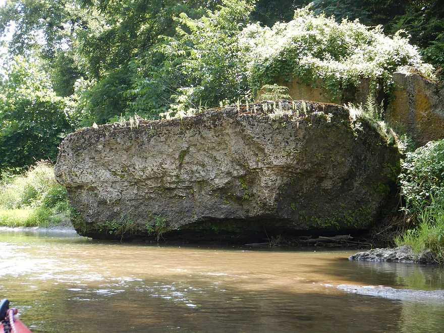
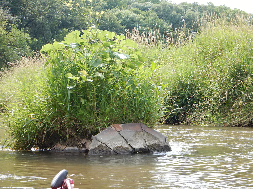
Looks like a former dam
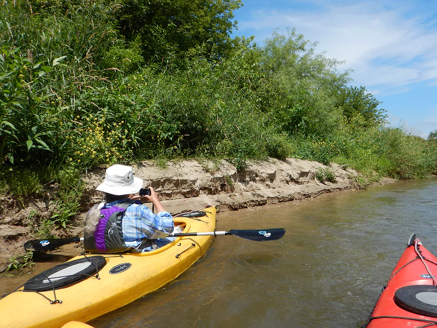
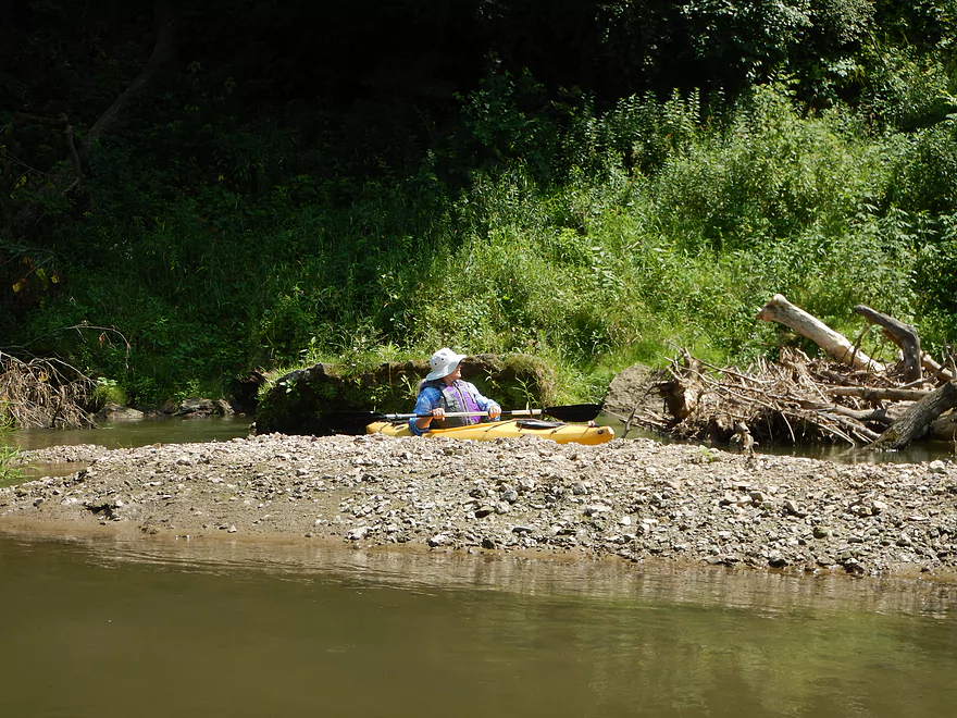
One of several small sandbars on the trip
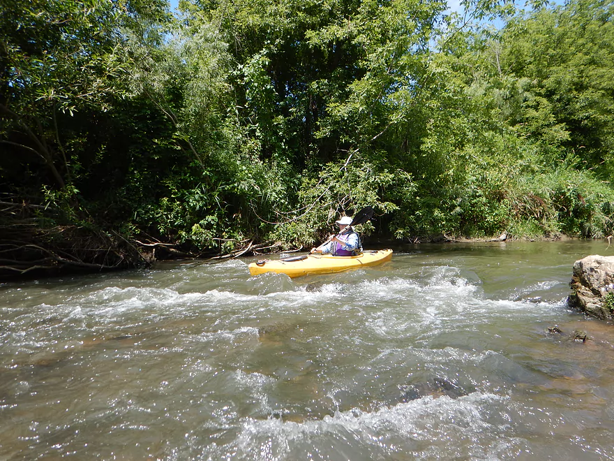
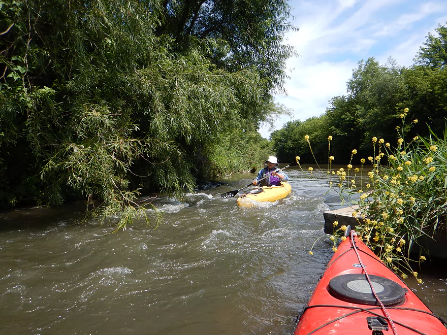
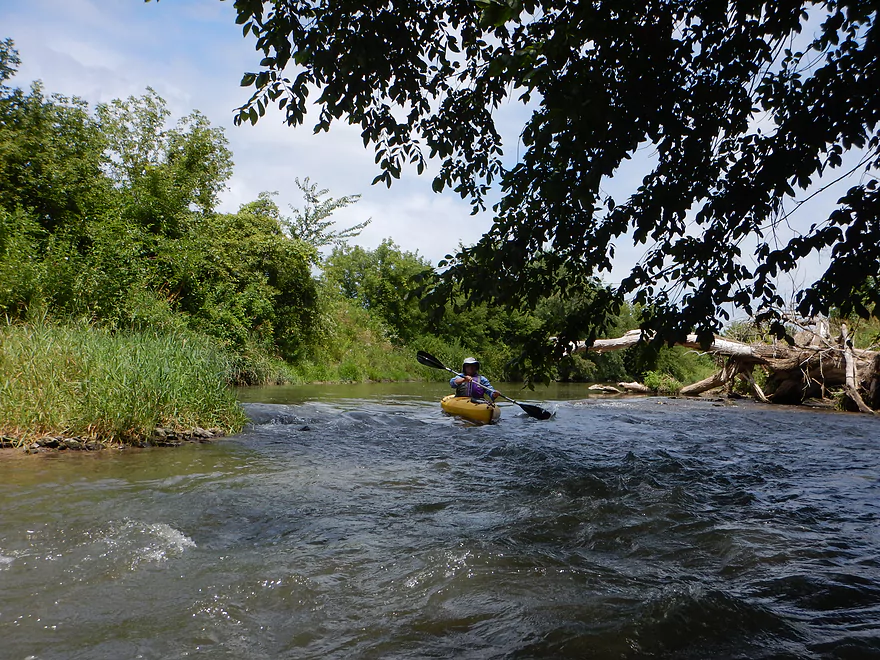
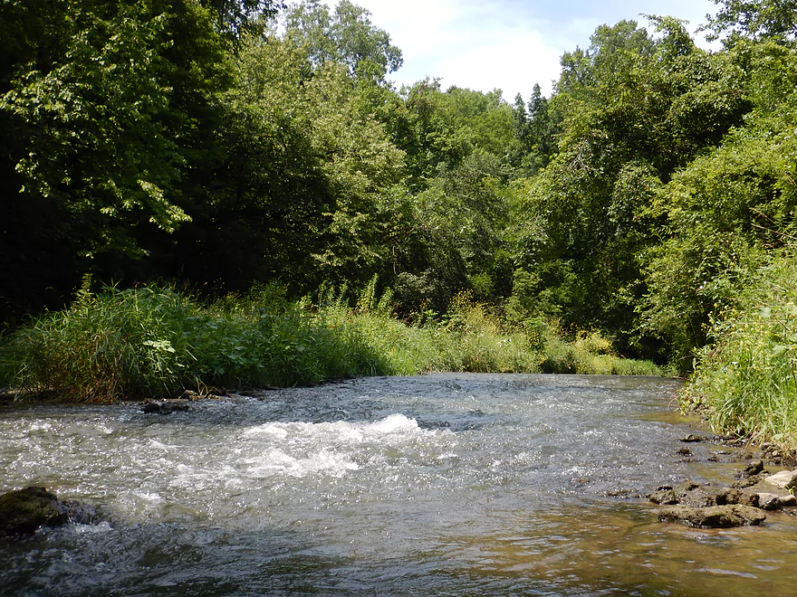
None of the rapids were stronger than Class 1
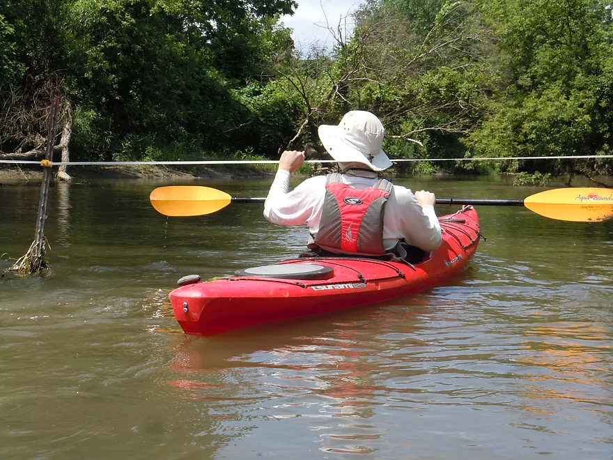
First fence is…not electric!
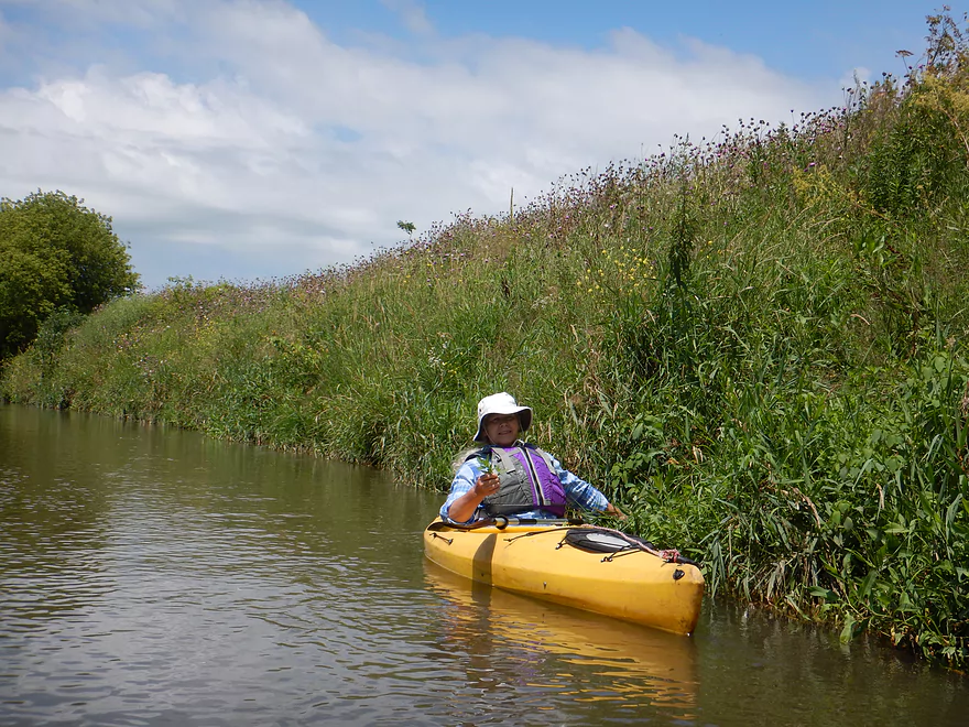
Wild mint growing on the banks
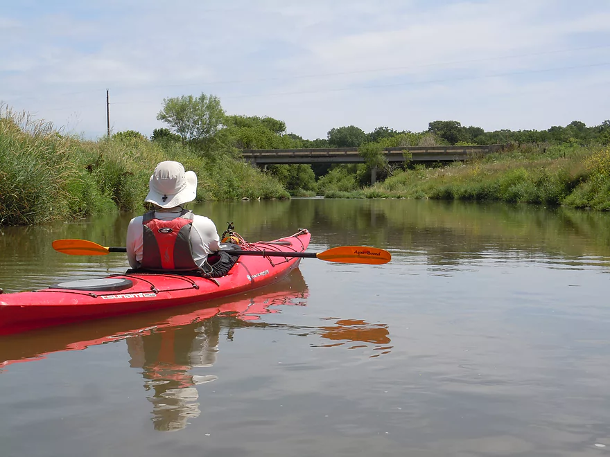
Coming up on Hempstead Road
Another nonelectric fence
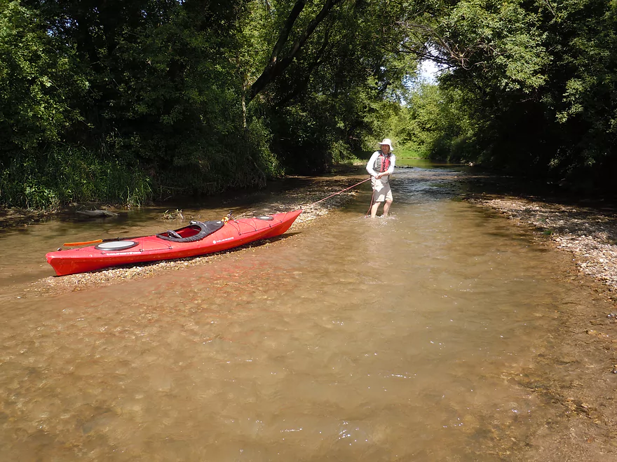
Paddlers do put in here
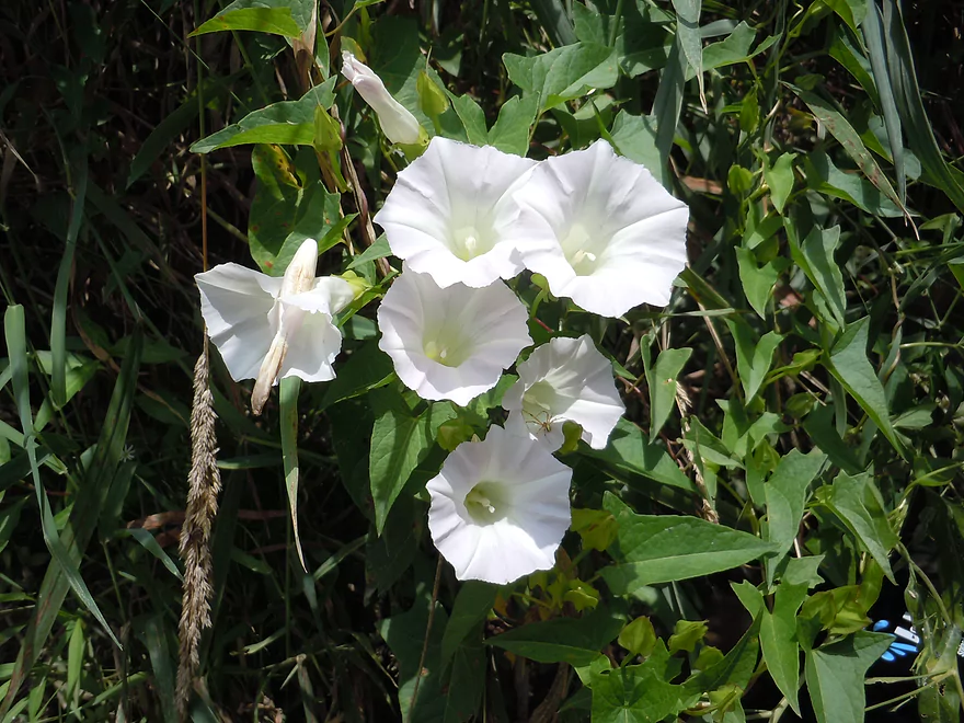
Wild morning glory
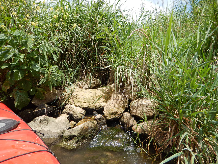
These appear to be natural springs
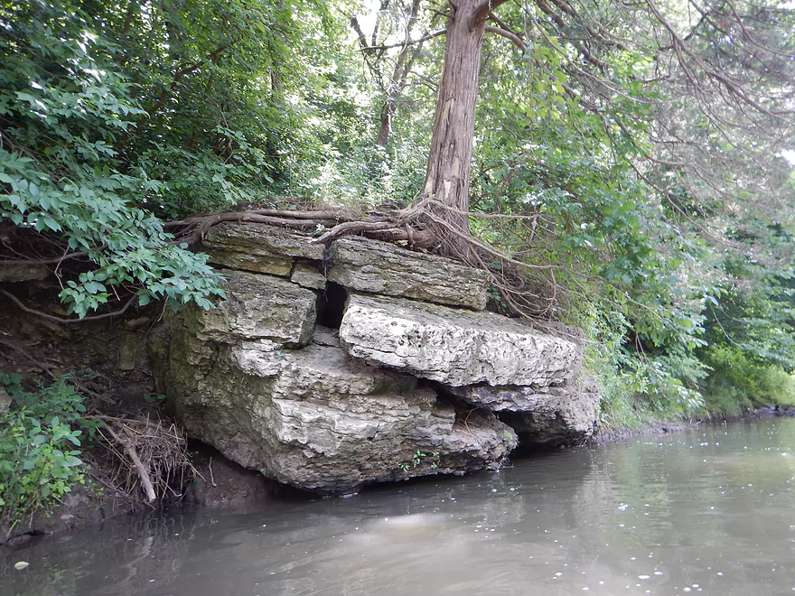
Trees grow straight up, which means the boulder recently shifted
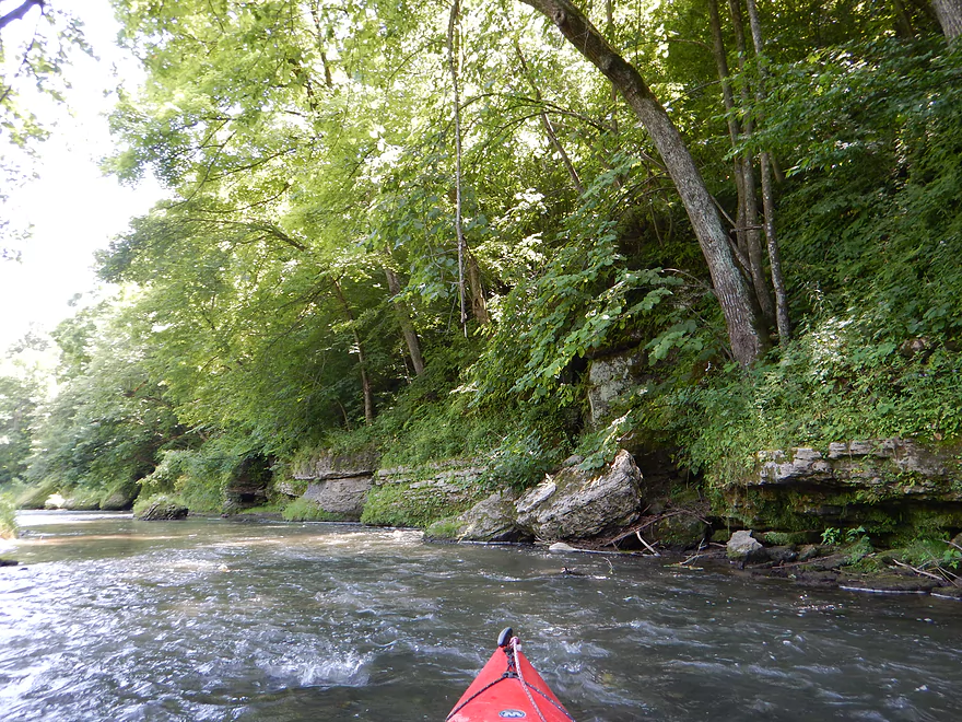
Roughly the start of Whitewater Canyon
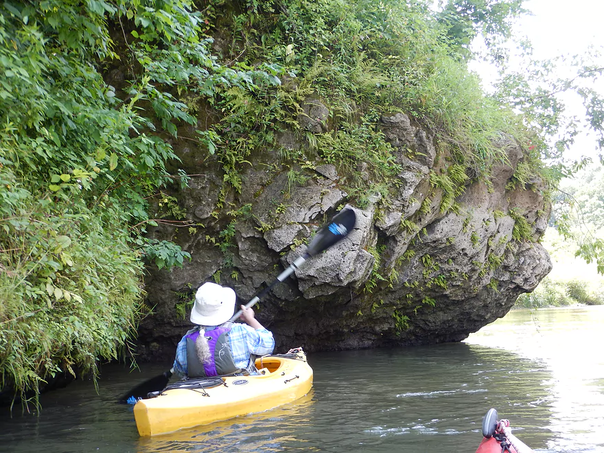
One of countless large boulders
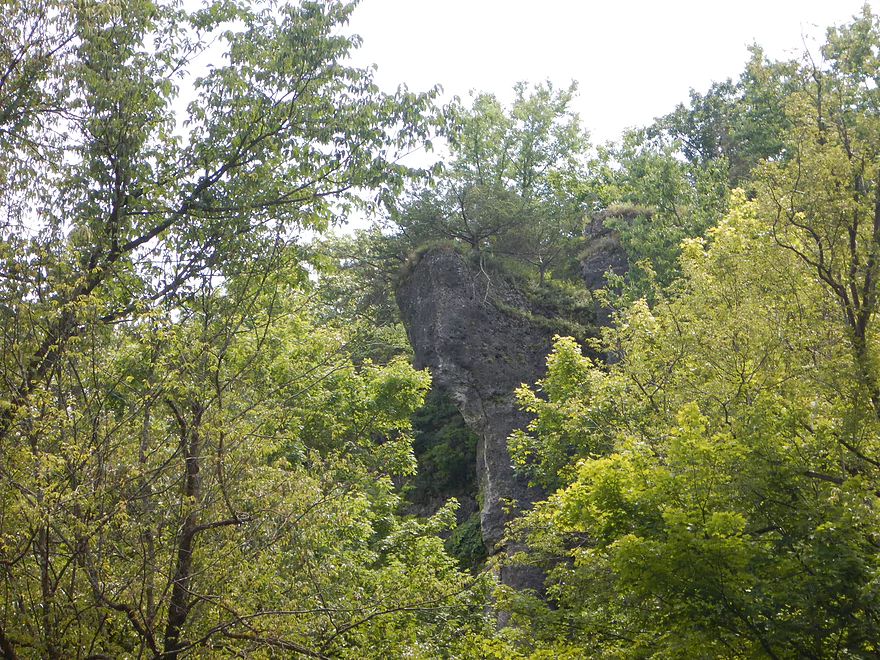
Most rocky bluffs were hidden by trees with a few exceptions
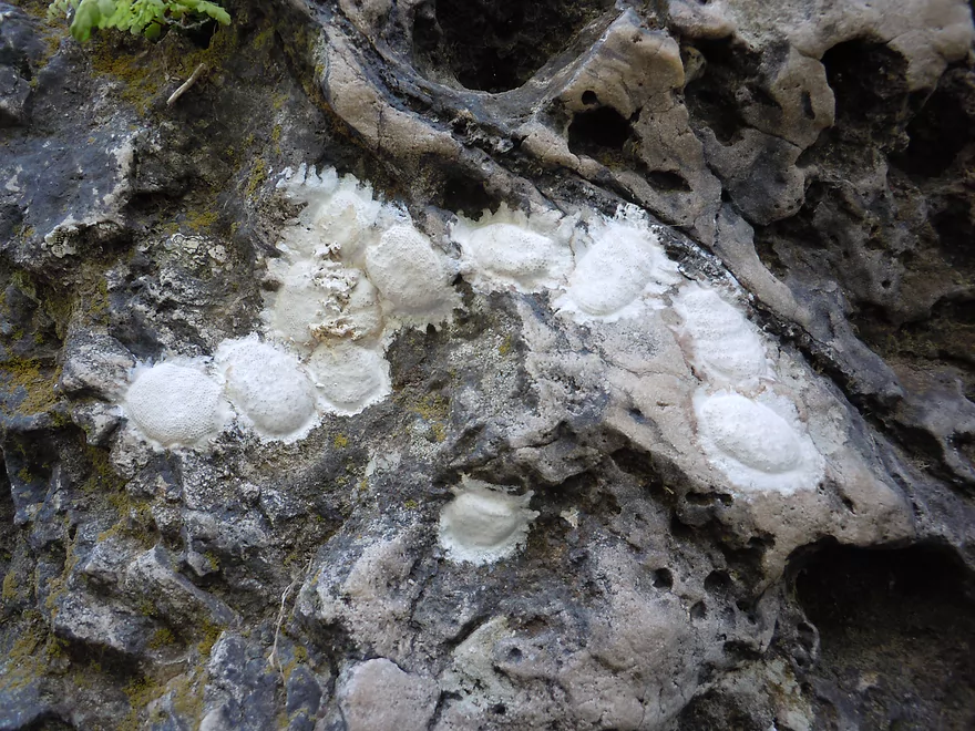
Dobsonfly egg cases
Neat flora growing on many of the boulders
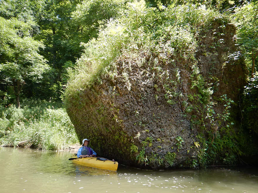
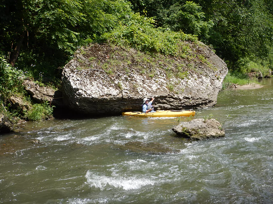
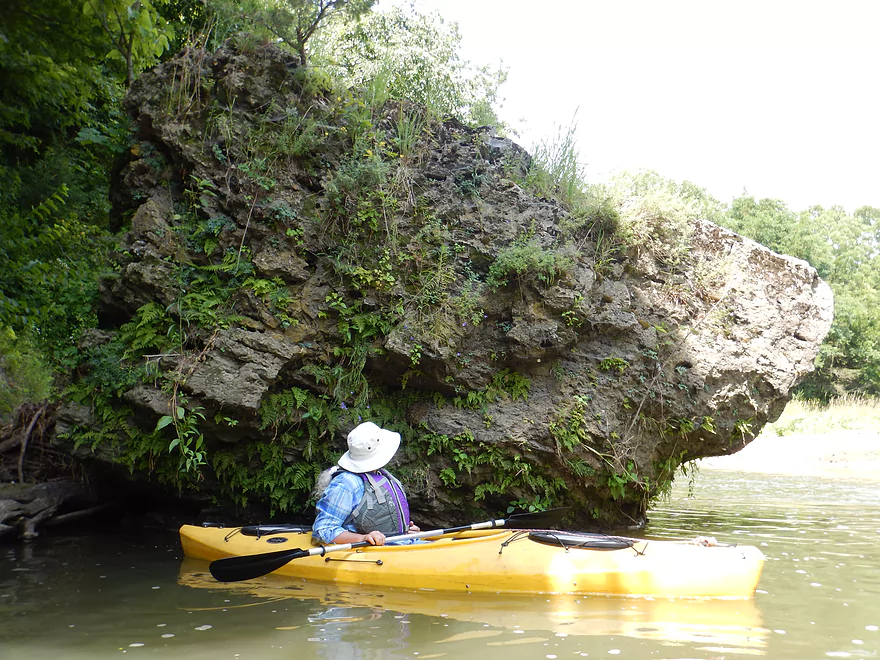
This is a big boy
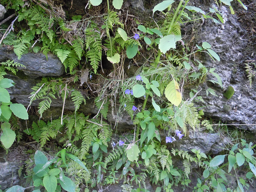
Lot of ferns
Large island with rapids to one side
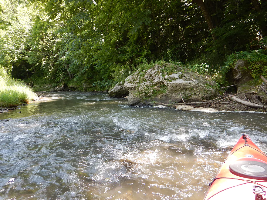
And a neat rocky section on the other side
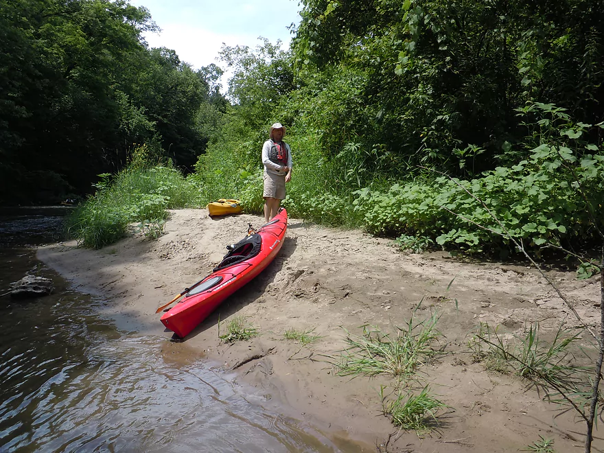
Taking a break on a sandbar
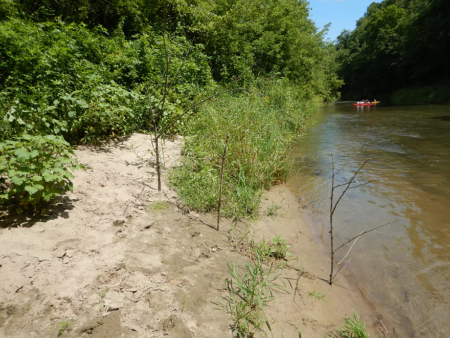
Where fellow paddlers marked this as a spot to explore
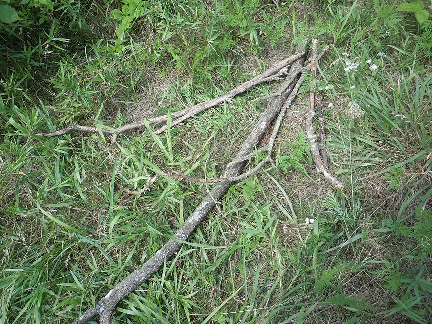
Great bread crumbs!
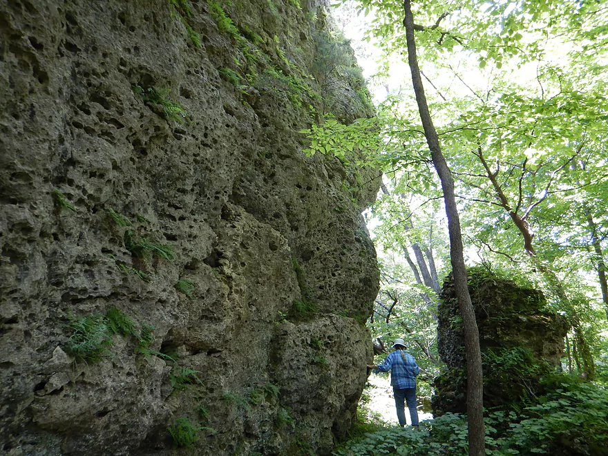
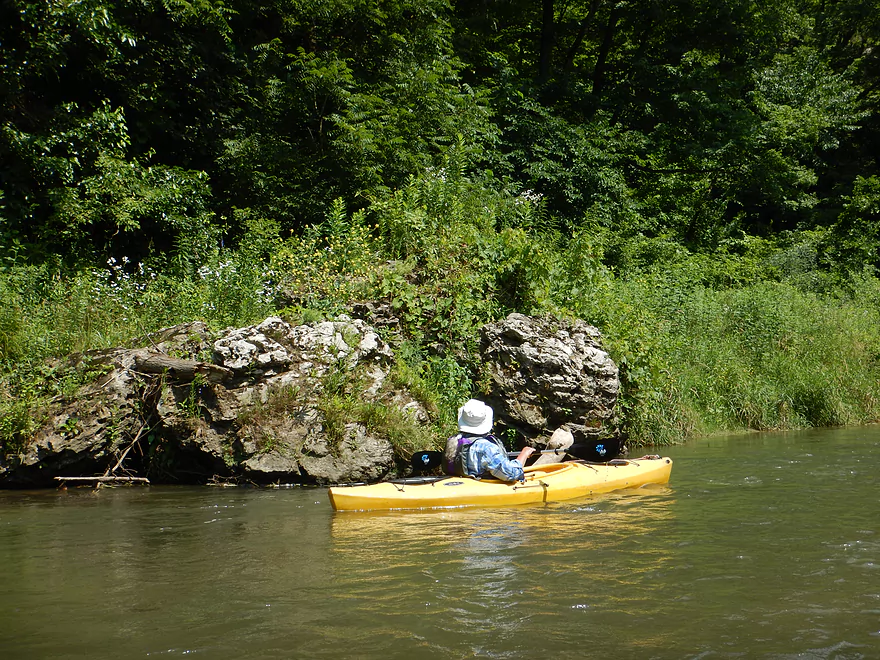
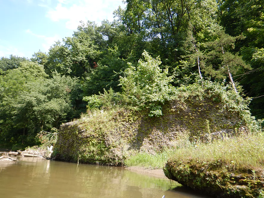
Exploring the bluff
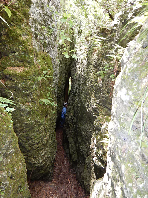
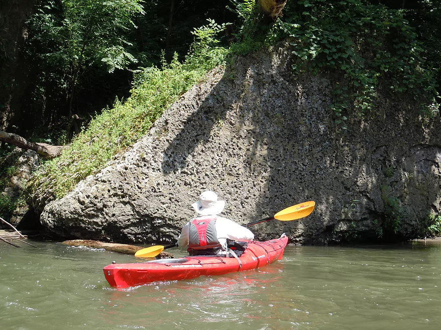
Really cool slot canyon
Other paddlers checking out Whitewater Canyon
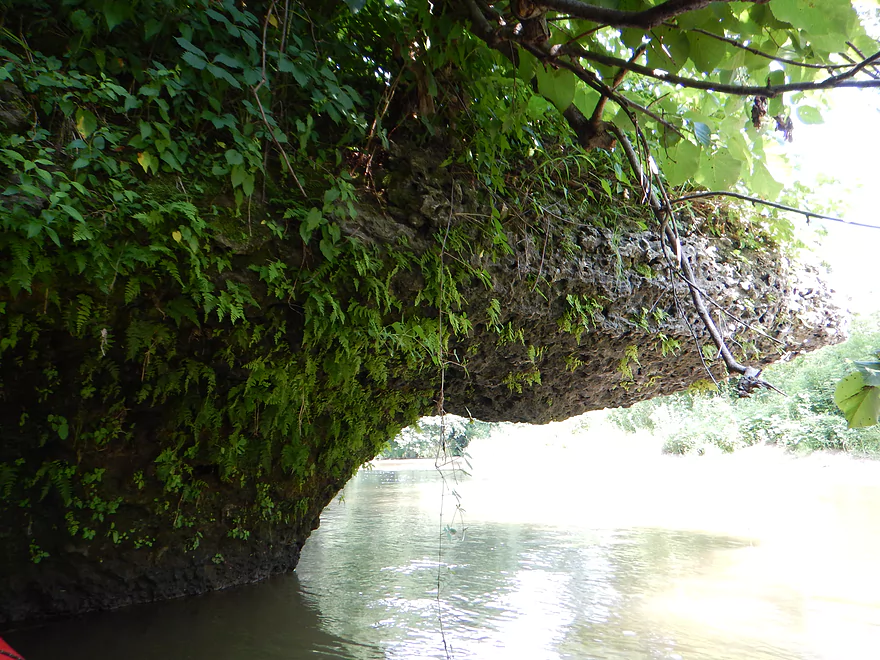
The vegetation really obscured the geology but it still was neat
Just barely can see the distant rock faces
Fun chute and boulder combo
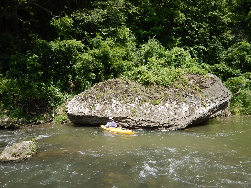
Quite photogenic
And huge
Not all boulders were big
Many of the boulders were quite hairy
Maybe the largest boulder
Exiting the canyon
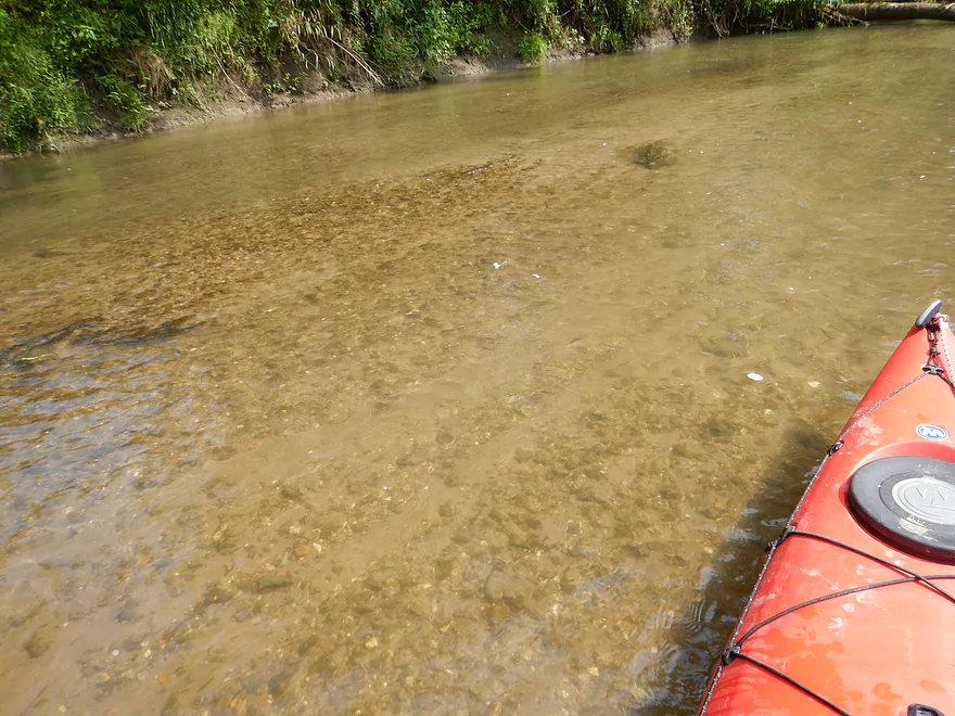
Occasionally clear water
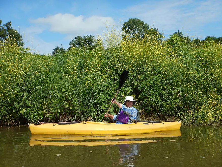
Wild mustard nicely matches the kayak
Lost Creek enters…there are caves hiding 4 miles upstream
An old hog feeder which does not belong in the creek
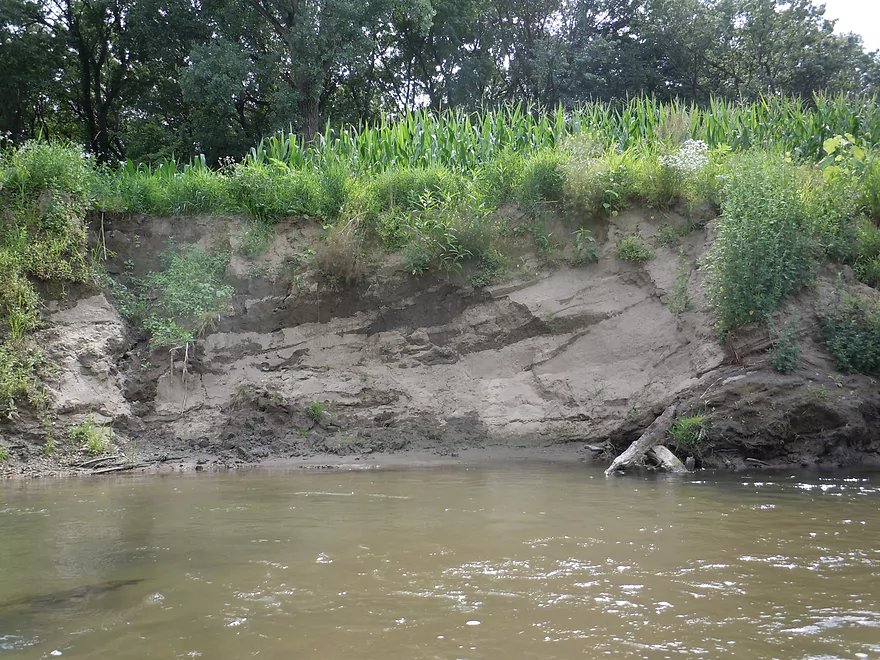
Somewhat unattractive banks
Somewhat attractive banks
Artificial rubble used to prop up the banks
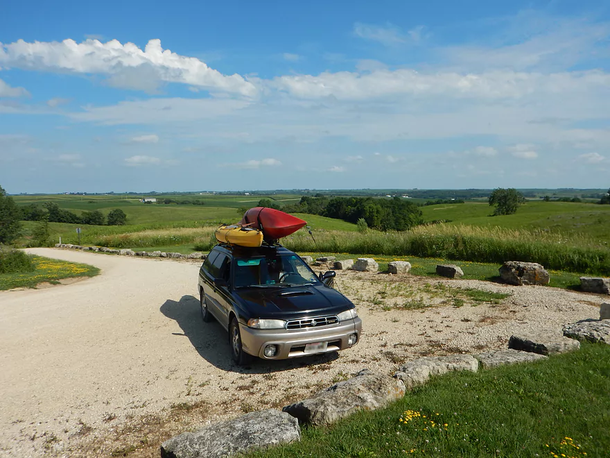
Taking out at Hwy D61
Mowed path leads to the road
Very popular with paddlers
Parking at the Whitewater Canyon trailhead
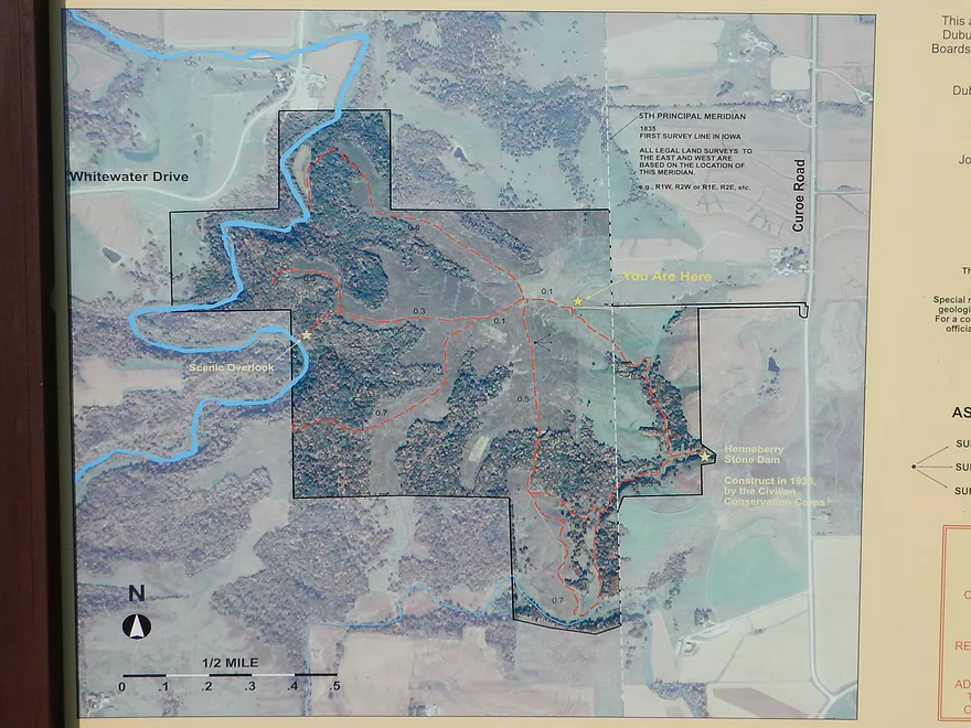
Map showing the different trail options
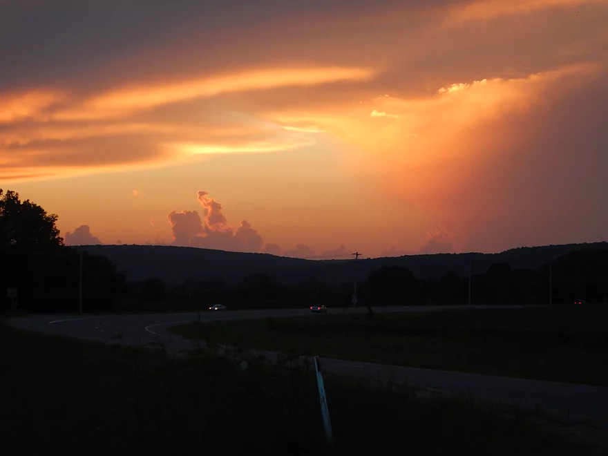
Cool sunset driving home
Whitewater Creek


Whitewater Creek is a popular paddling prospect located 20 minutes southwest of Dubuque and the Wisconsin border. The highlight is a 2-3 mile section that flows through Whitewater Canyon, one of Iowa’s three true canyons.
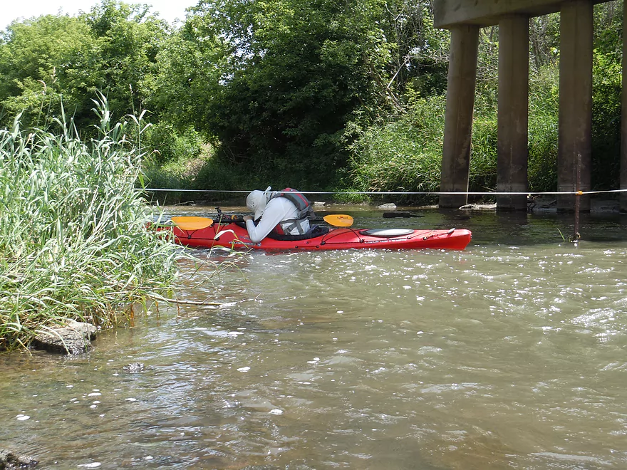
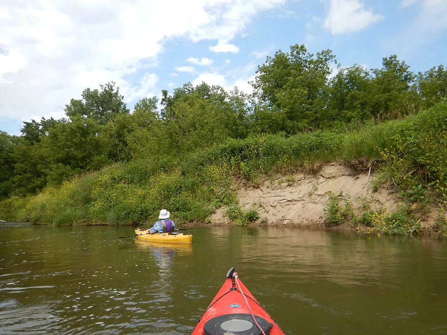
After launching from Simon Road, the creek parallels noisy Hwy 151 for a half mile before growing significantly from a nearby tributary. This little subsection though is still nice with occasional riffles. Water clarity was ok, but a bit turbid. A thin tree buffer separates the creek from the vast Iowa cornfields to both sides. As you pass under Hwy 151, you’ll see flood debris lodged way, way up under the girders which shows just how strong the local floods are.
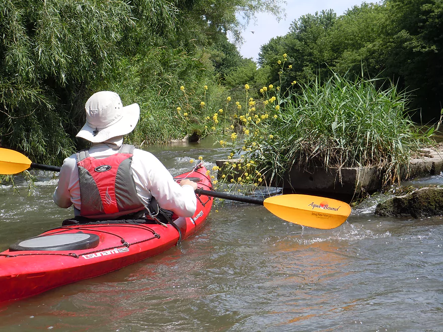
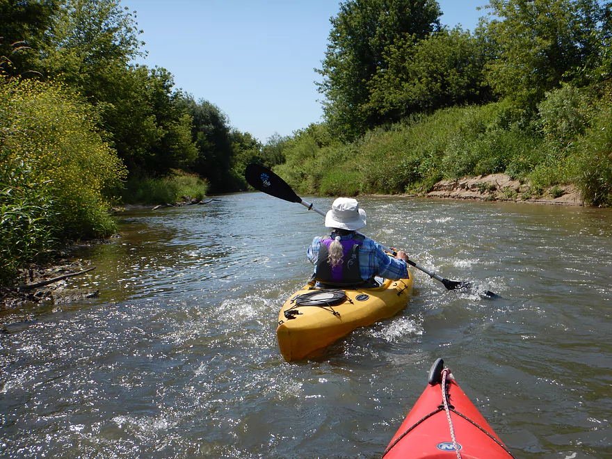
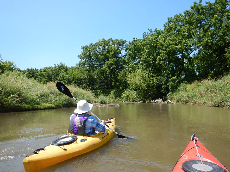
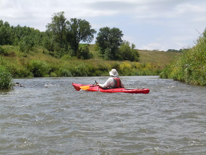
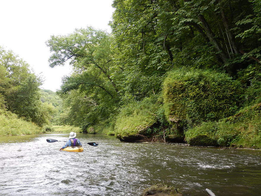
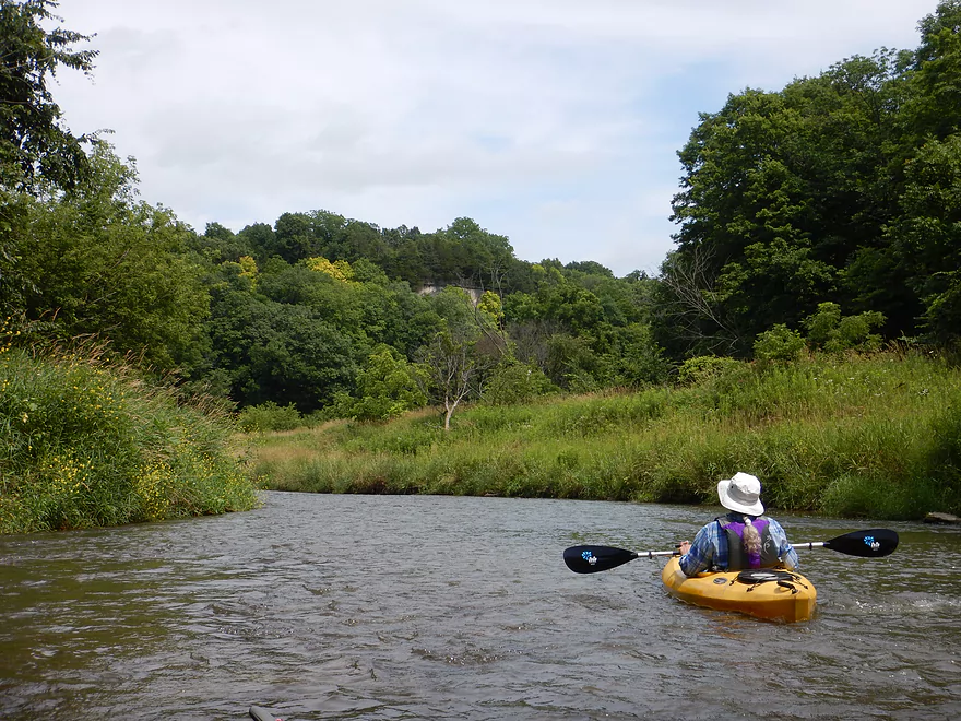
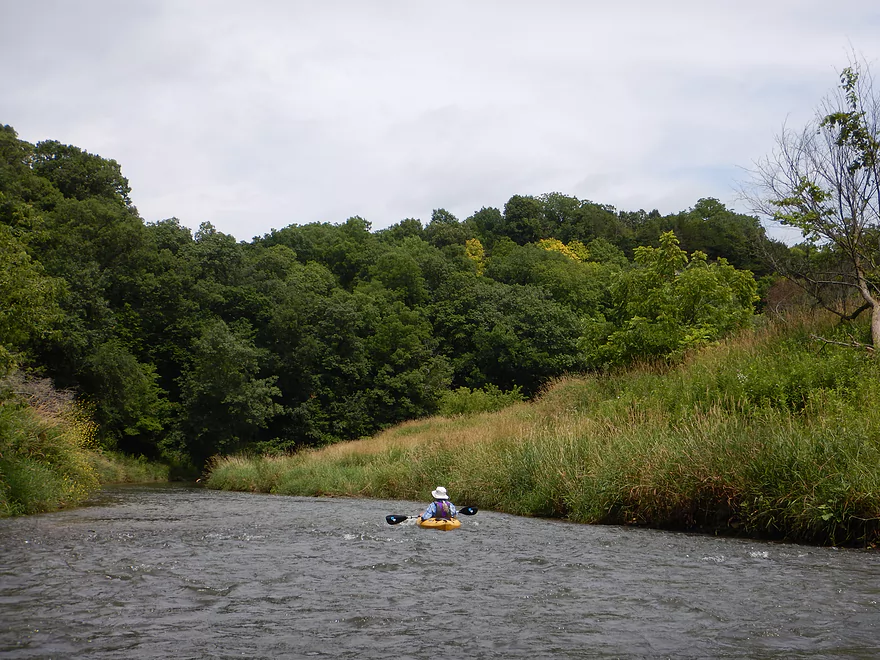
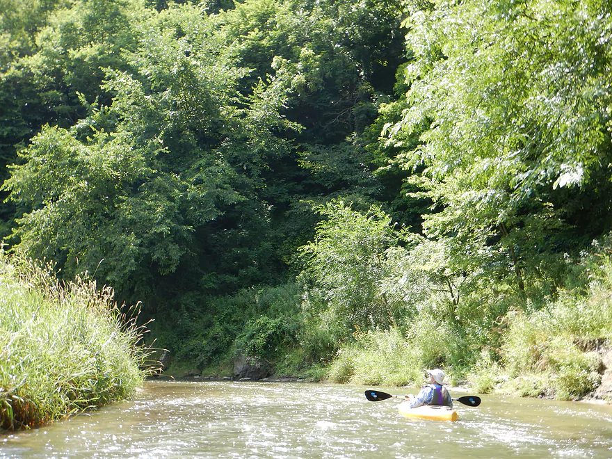
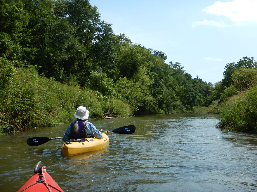
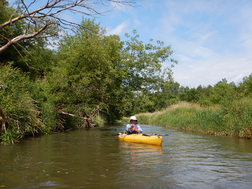
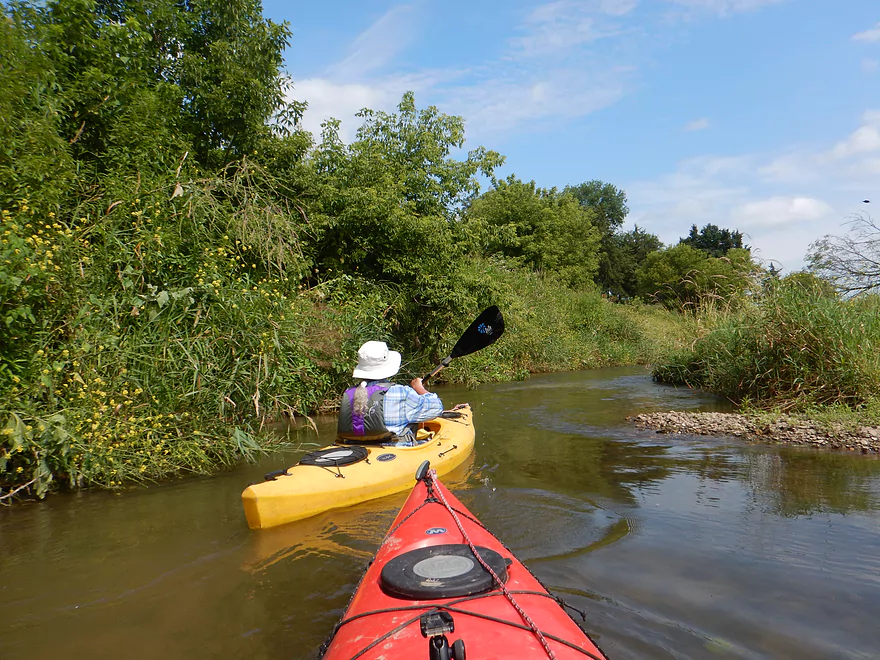
The next mile is a pleasant section flowing through open grassy areas with several fun riffles. Iowa grasses look quite different than Wisconsin grasses… Much bigger, drier, varied, and more untidy. You’ll pass by several low fences which are easy to duck under and not electric. Hempstead Road is used by paddlers as an access option, but I’m not sure if this is public.
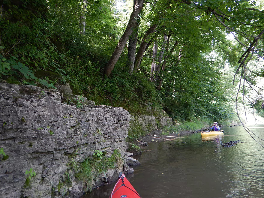
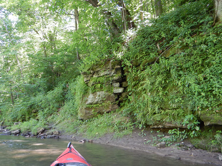
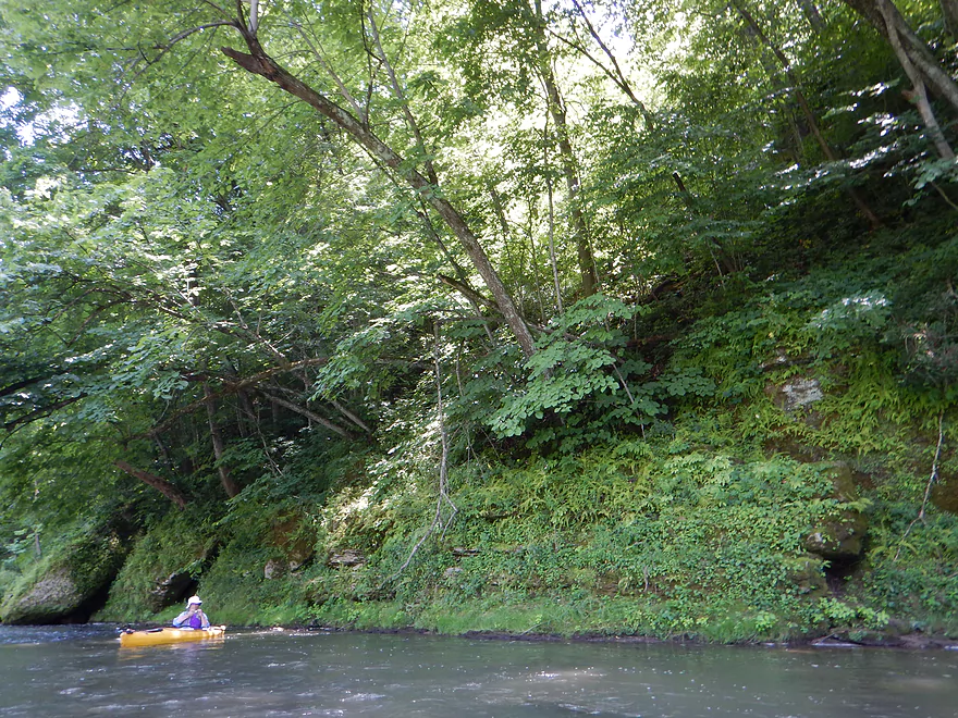
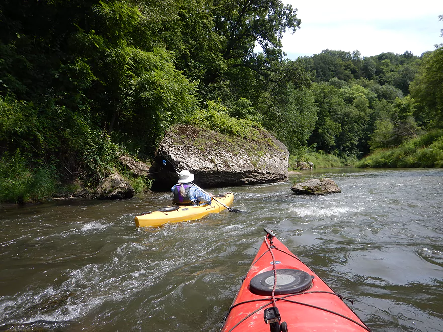
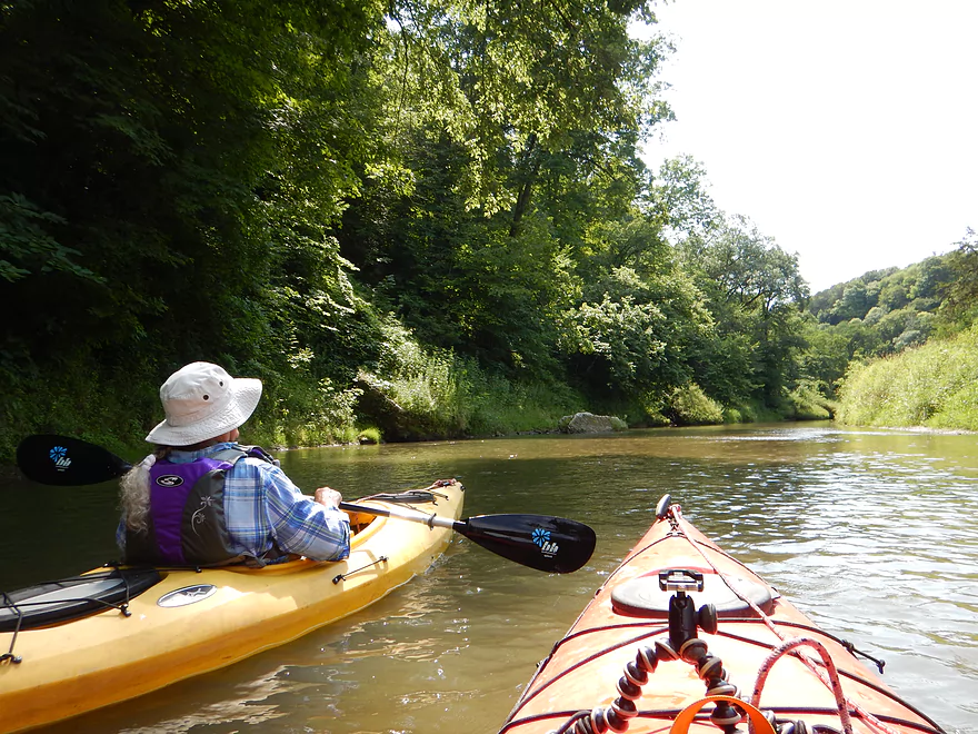
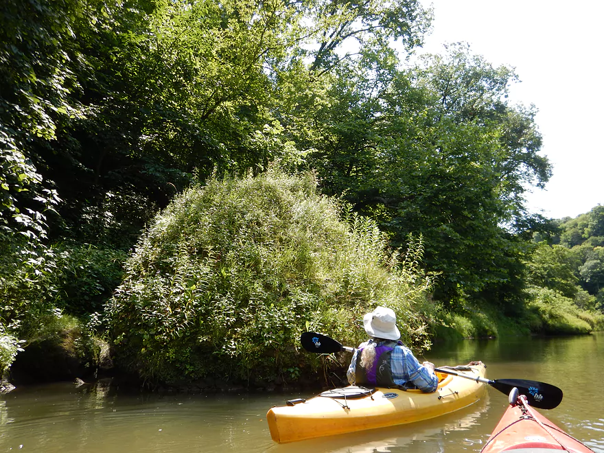
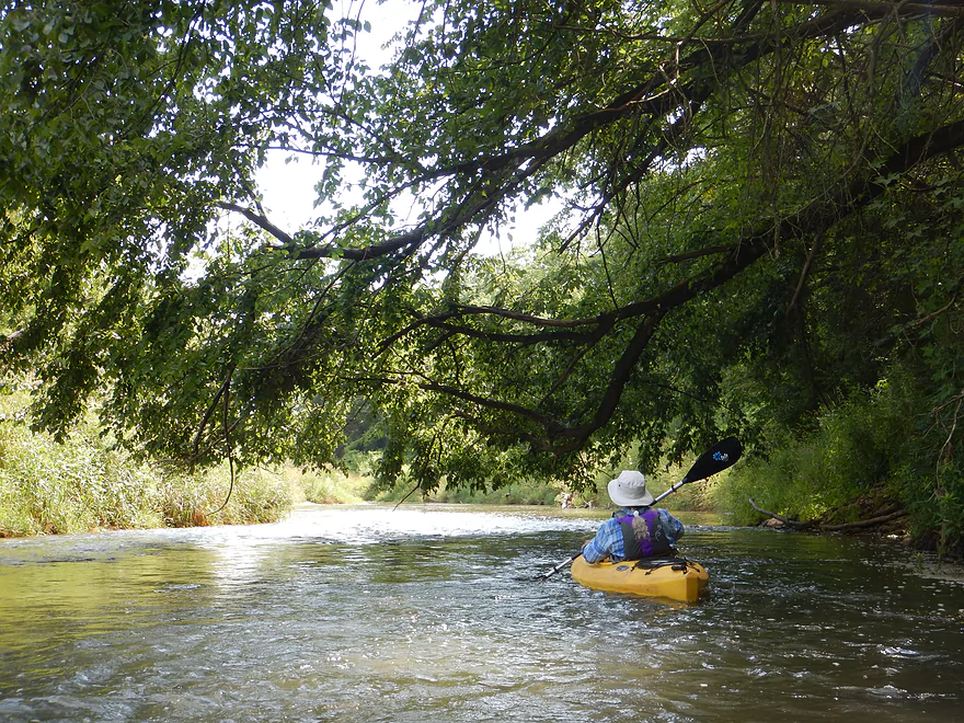
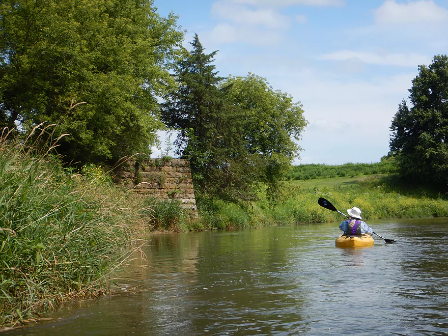
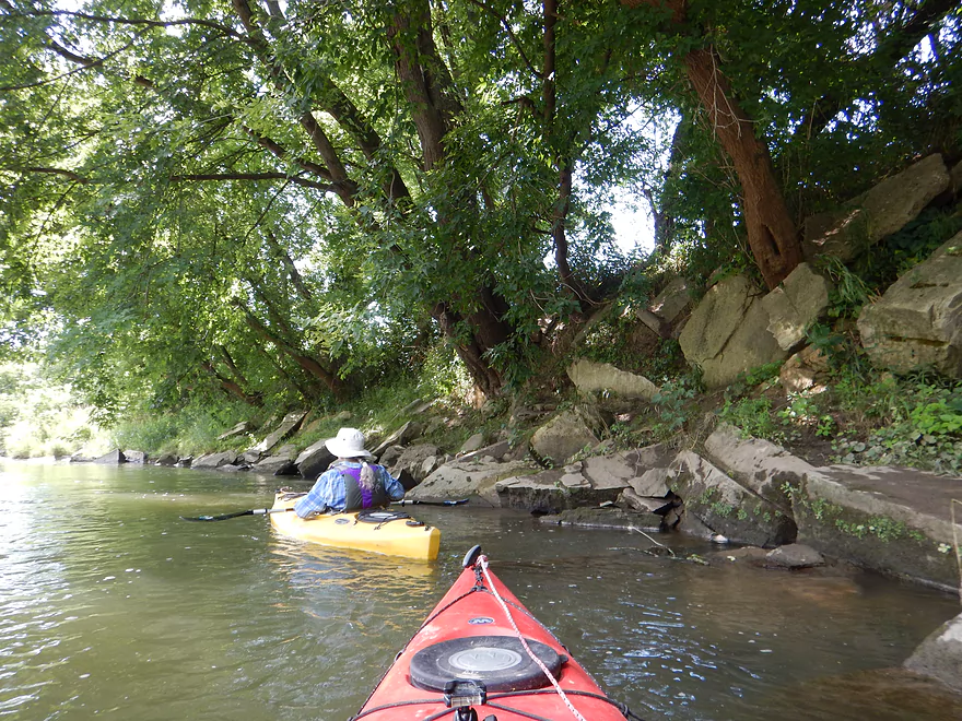
After Hempstead Road, the geology starts to change and you see dolomite on the river banks. The scenery becomes progressively more interesting the further into Whitewater Canyon you get. But to be honest…I was expecting the “canyon” to be somewhat different. When I hear this term I think of sheer rocks walls and exposed rock faces. You don’t really see this on the creek. Instead it is more of a narrow river valley, but the University of Iowa insists it is a true canyon, so I’ll play along. It’s still nice though! The highlight are the MASSIVE dolomite boulders you see along the river banks, many the size of recreational vehicles. These are often covered with micro-plant ecosystems and nice ferns.
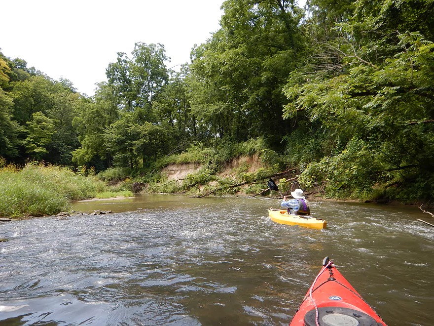
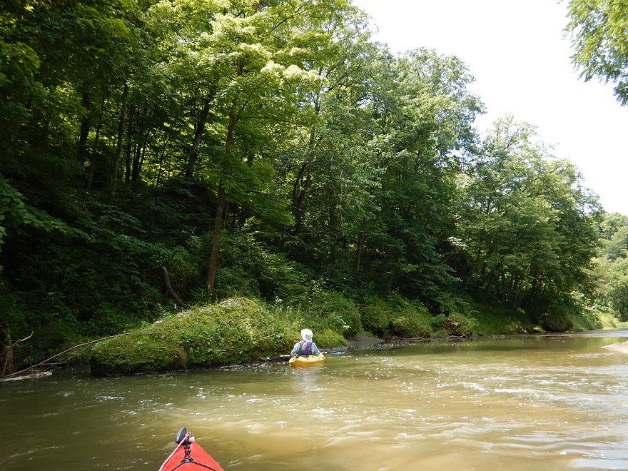
There are exposed rock faces, but most are receded from the river and hidden by a thick layer of trees and plants. Like most Iowa driftless paddles, I suspect the best time to do them is in the spring or fall when the rock faces aren’t obscured by leaves.
This is a popular paddling river, and you’ll likely see a handful of paddlers on a a typical weekend. Just before putting in, we talked to another paddler who mentioned a really cool bluff and slot canyon you could access from the shore just past an island and about two-thirds of the way into the canyon. It was private and just outside the park boundary but supposedly the owner didn’t mind. At any rate, the guy said he would mark where this was with a crossed stick on the shore just past an island. And sure enough , we found his mark! We were able to get out on a sandbar and follow his other stick signs up to the base of a huge bluff, which was cleaved by a giant crack that allowed us to just barely walk through the rock to the top of the bluff (see photos). (Note: There is no obvious trail from the river and you do have to dodge some brambles and poison ivy, but it is totally worth it.) For exact location details, see the map.
Following Whitewater Canyon, the creek loses its unique dolomite geology and becomes more of a generic paddle through cornfields. Still pleasant though with good current, some riffles, and some nice gravel substrate. The water clarity actually improves despite the mud banks growing significantly in size.
If you are in the area, consider exploring the hiking trails of Whitewater Canyon. There is a public parking lot at the east end of the park, which is a trail hub for many paths (Google maps shows all of them as dashed lines). One of the main features is Lost Canyon, which is located in the far southeastern part of the park and requires a mile-long hike to reach. Per one source there are a “plethora of caves and concave bedrock walls” in this section. The other highlight is an overlook in the west central part of the park which looks out over Whitewater Creek. The only problem though is it is typically partially obscured by thick tree cover, so again spring/fall might be the best time to access this.
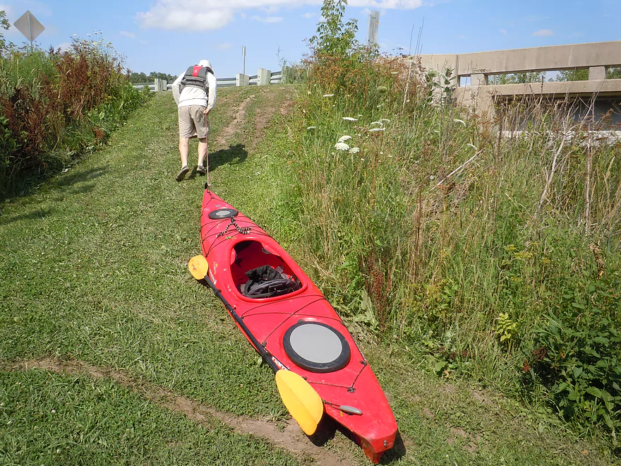
Relatively new, Dubuque County has created a nice launch area southwest of Simon Road. There is space for 4-5 cars to park, and then a grassy area where you can drag your boat to launch by the riffles. This is just a bridge landing with no outhouse.
I think some paddlers launch at Filmore Fairways where there is a public golf course just upstream. On the campground loop, I think you might be able to launch at the end of the road…but really Simon Road is a better option.
If you only want to paddle through Whitewater Canyon, you might be able to launch two miles downstream at Hempstead Road. There is a dirt area that other paddlers have used southeast of the bridge, but this might be private.
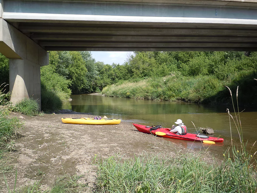
Good bridge take-out at Hwy D61. Good room for parking on the shoulder and a mowed path leads to the water. This is a popular access spot with locals.
A bike shuttle would be somewhat difficult as many of the roads have gravel (the large loose variety). You could avoid most of this by shuttling east along Curoe Road/9th Ave. This would be a total shuttle of 7.7 miles with 341′ of hill climbing and 302′ of descent. Only one mile would be on gravel. If you are deadset on avoiding gravel, you could shuttle way to the west which would be gravel-free but would be 9.5 miles and would require a couple miles of peddling on Hwy 151, which I’m not sure is legal.
I’m not aware of any local liveries that service this area. Riverview Ridge Campgrounds (563-543-1258) does do paddle trips nearby on a limited section of the North Fork of the Maquoketa River, but doesn’t service Whitewater Creek.
This is a safe river with few hazards. There are two white ribbon fences, but neither is electric (I checked!).
The current is pretty up-tempo and features many riffles and Class 1 rapids. These are mostly pretty easy, but could be tricky in high water. Whitewater Creek does flash flood, so stay off it after a big rain.
Logjams really aren’t an issue and the creek is remarkably free of deadfall.
“Padding Iowa” advises at least 600′ per a gauge on the Maquoketa River – North Fork, but this might be more for canoes as we did the trip at 330 CFS which was a fine depth for kayaks. On the flip side, the creek periodically flash floods. The nearby gauge recently spiked from 300 CFS to 1100 CFS in just six hours! Here is a rough depth guide based on educated guesses:
- < 300 CFS: Creek rarely gets this low but when it does, it might be too low to paddle.
- 301-400 CFS: You’ll likely ground yourself a few times in the shallows, but otherwise a doable depth (trip was done at 330 CFS).
- 501-500 CFS: A higher depth, but should be quite doable.
- 501-600 CFS: To me this seems like a pretty high depth, but “Paddling Iowa” did advise at least 600′.
- 601+ CFS: My personal preference would be to stay off the creek at this level. But these high levels are deceptively unstable, as usually the creek will grow sharply and then drain quickly back down.
A blue heron, several kingfishers, one wood duck, a turtle, and many animal tracks. The woods were a mix of oak, ash, walnut, and maple with young willows lining the banks early in the trip. The highlight was finding wild mint growing on the banks, which has a terrific smell and makes a great mint tea.
- North Cascade Road to Simon Road: 9.3 miles. Speculative only, but it seems nice and mostly open with some rapids and maybe limestone outcrops. Lot of open pasture though, so cow fences could be an issue. You might be able to put in at the Curran Branch off “Then Road”. Another idea is to launch on a creek tributary near Roller Coaster Road.
- Simon Road to Hempstead Road: 2.1 miles. Great put-in. Nice open section with some fun little riffles. No real outcrops though.
- Hempstead Road to Hwy D61: 4.5 miles. Paddlers do put in at Hempstead Road, but it might be private? This segment flows through Whitewater Canyon and is the best part.
- Hwy D61 to Maquoketa River – North Fork Confluence: 0.4 miles. Simple open section…nothing special.
Whitewater Creek soon joins the North Fork which is an interesting paddling prospect in its own right. “Paddling Iowa” refers to it as Iowa’s Canyonlands and says it features gorges up to 200′ deep.
- Upstream of 272nd Street: I know little about the far upstream parts.
- 272nd Street to Hwy 136: 18 miles. Some nice cliffs and rapids, but a very long paddle.
- Hwy 136 to to Cascade Dam: 3.1 miles. Likely an uninteresting flowage paddle. Supposedly the take-out above the dam is difficult.
- Cascade Dam to Hwy D61 on Whitewater Creek: 8.0 miles. There is a launch below the dam. River flows by steep wooded bluffs and a few limestone walls. Paddle upstream on Whitewater Creek to reach take-out.
- Hwy D61/Whitewater Creek to Ozark Bridge/21st Ave: 12.4 miles. More steep bluffs, with some rock faces and boulders.
- 21st Ave to 60th Ave: 4.3 miles. Good prospect that goes through the Ozark Wildlife area and features steep bluffs and exposed limestone.
- 60th Ave to Bernard Road/Hwy Y31: 2.9 miles. Still some bluffs, but river starts to transition into a more open area.
- Downstream of Bernard Road: More bottomlands, flatter and less interesting. Still some nice paddling segments. For more information, I highly recommend the book “Paddling Iowa” or this PDF map from Crawdaddyoutdoors.com.
Trip Map
Video
Photos Size: