
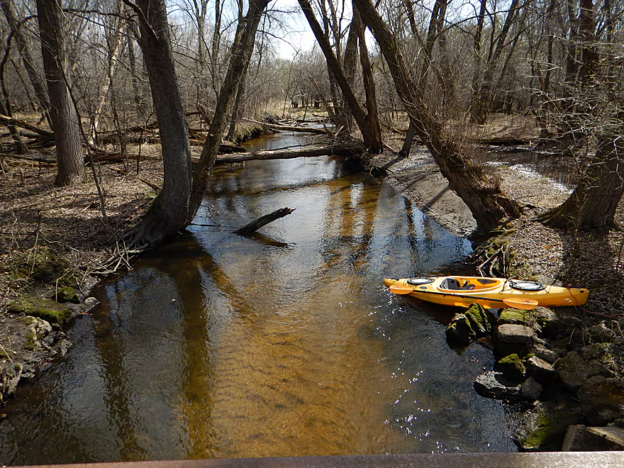
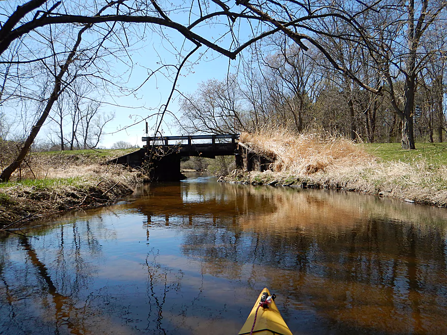
Putting in at Schliesmann Road
Good access
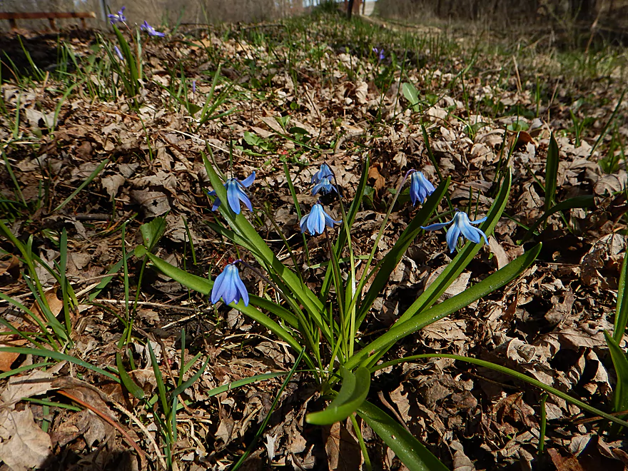
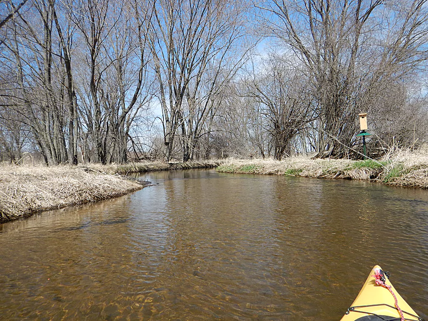
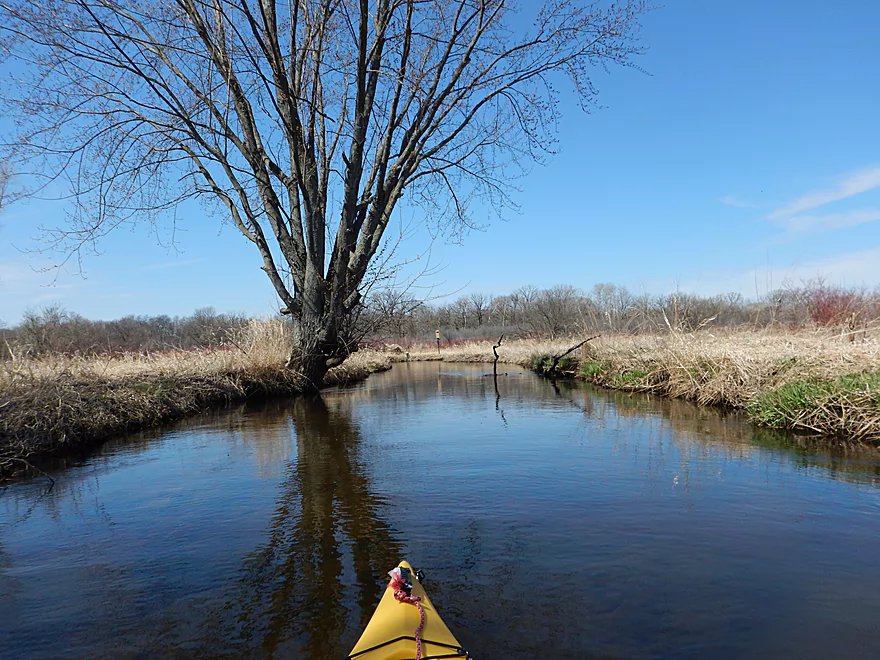
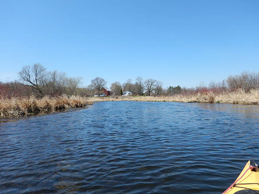
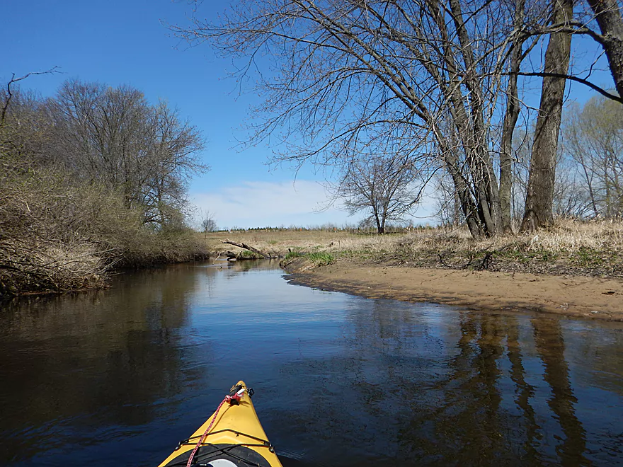
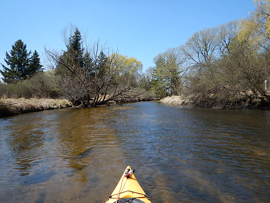
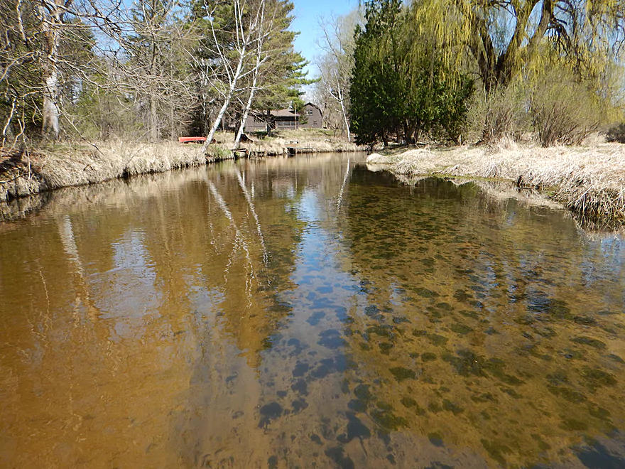
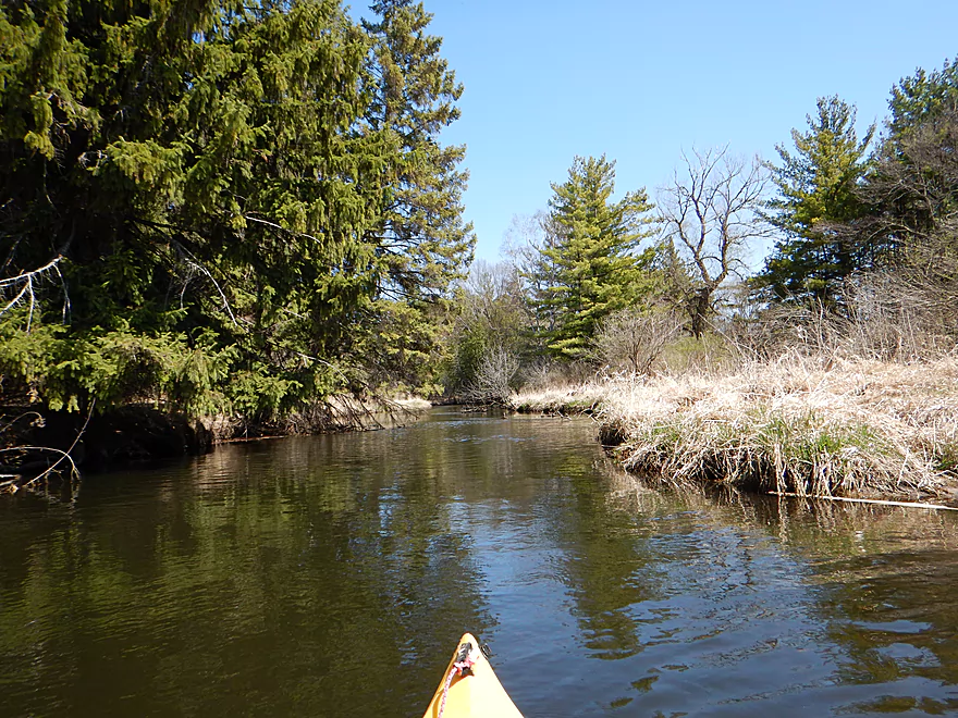
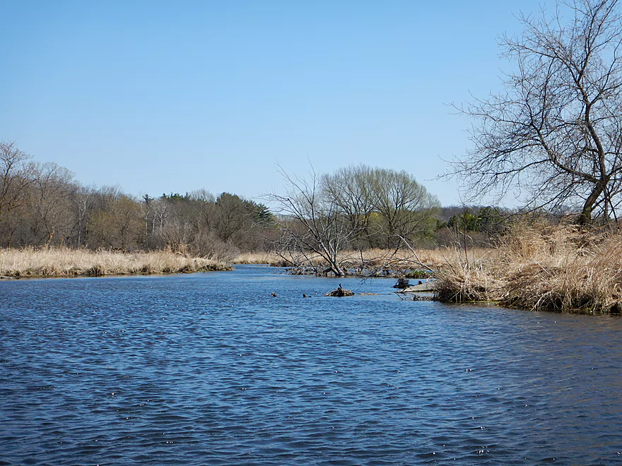
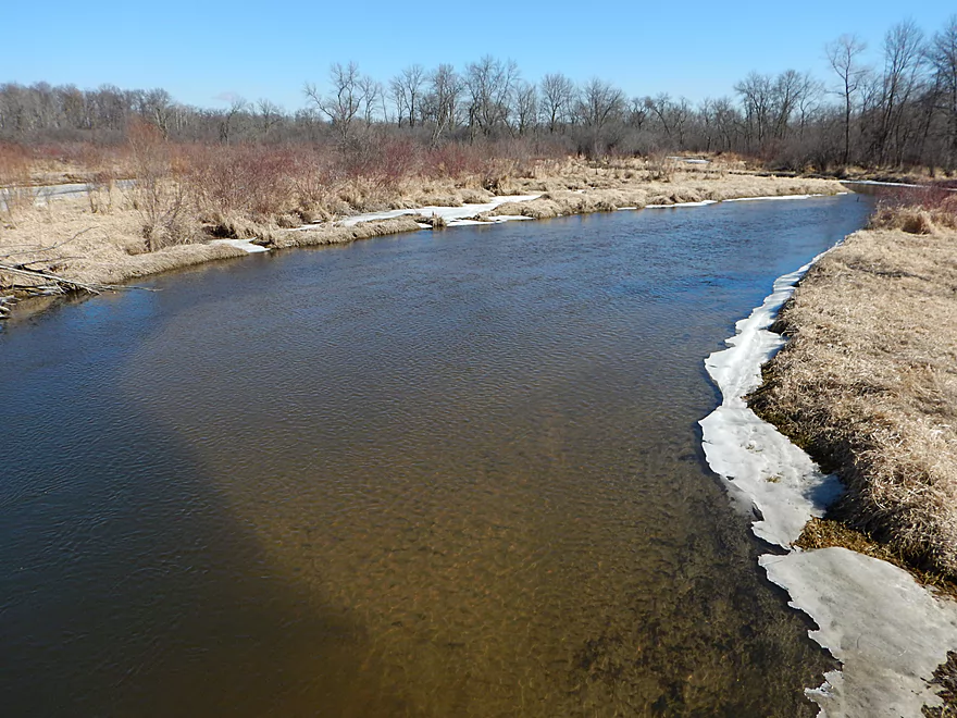
Signs of spring
Decent parking by bridge
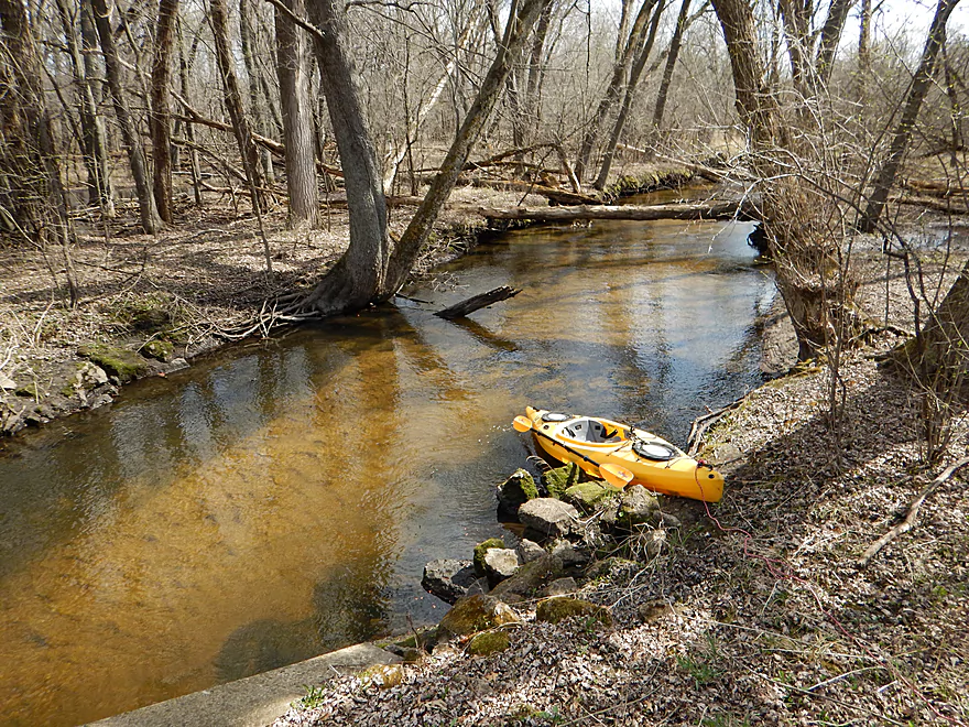
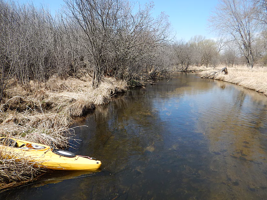
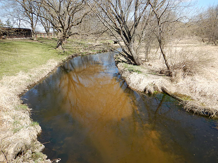
Nice clear water
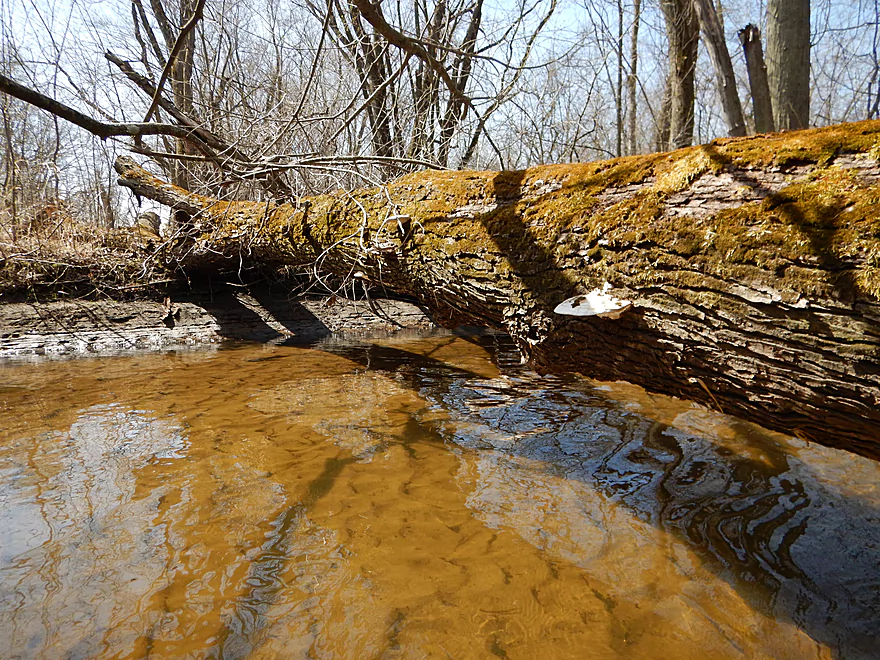
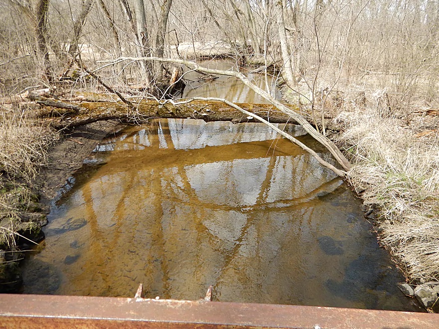
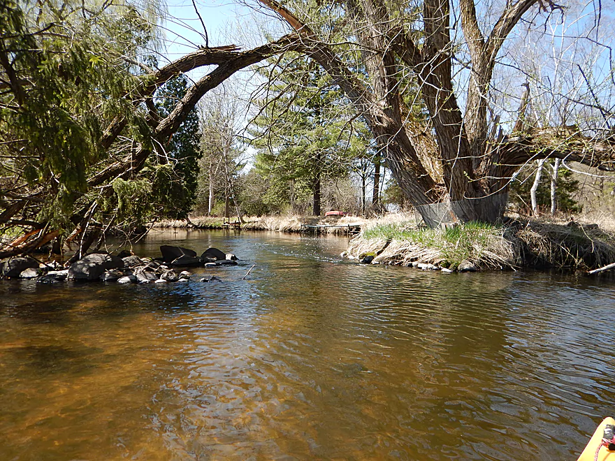
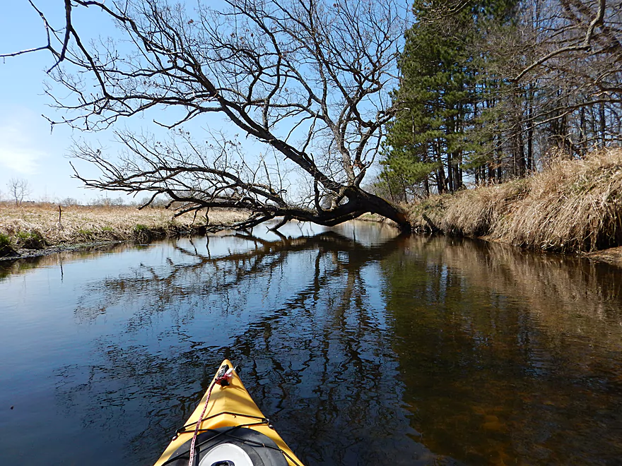
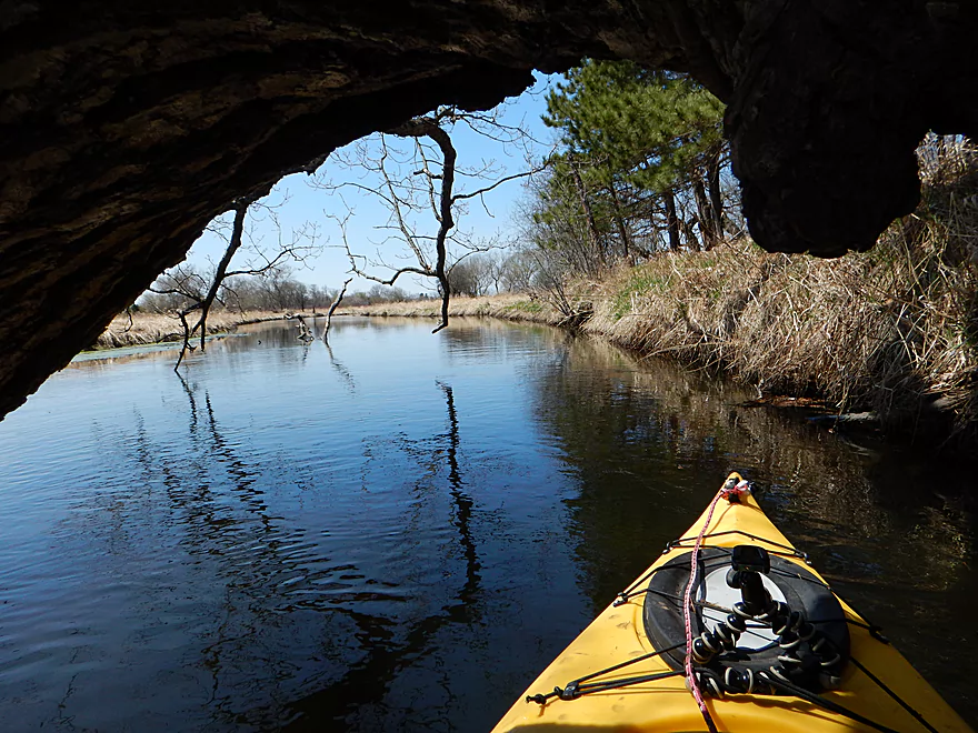
Tight fungus limbo but doable
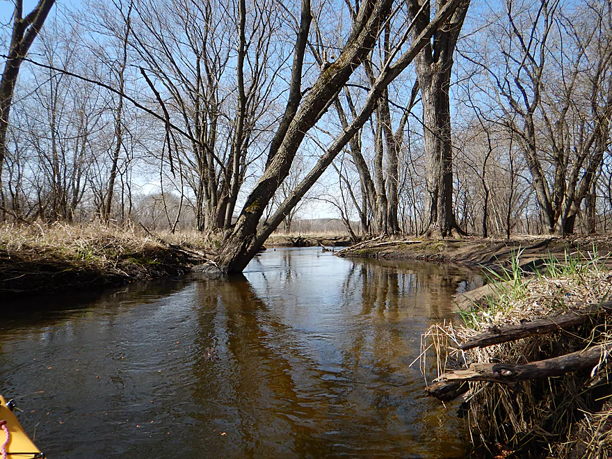
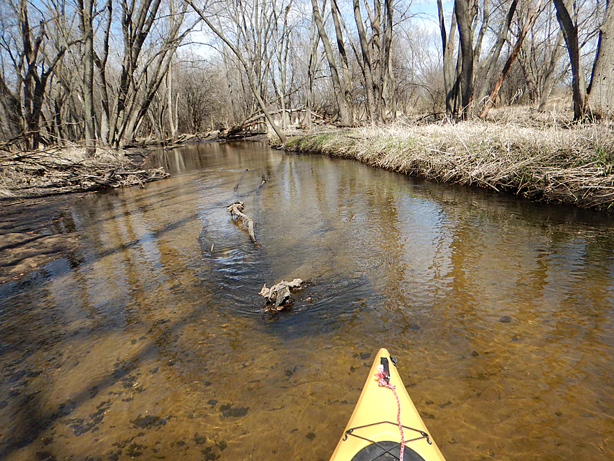
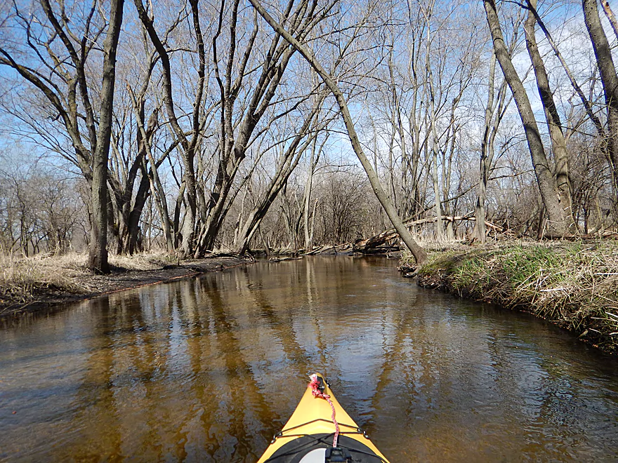
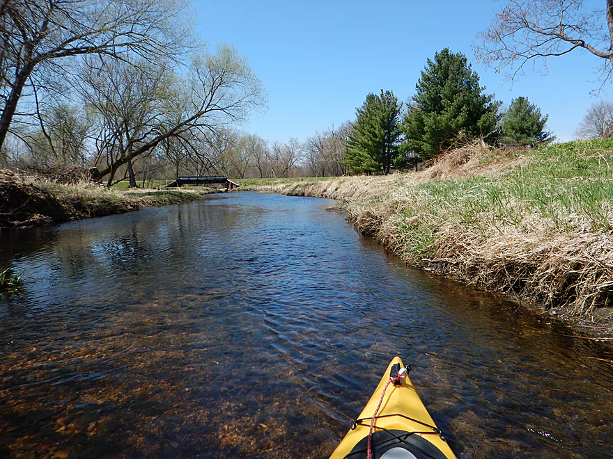
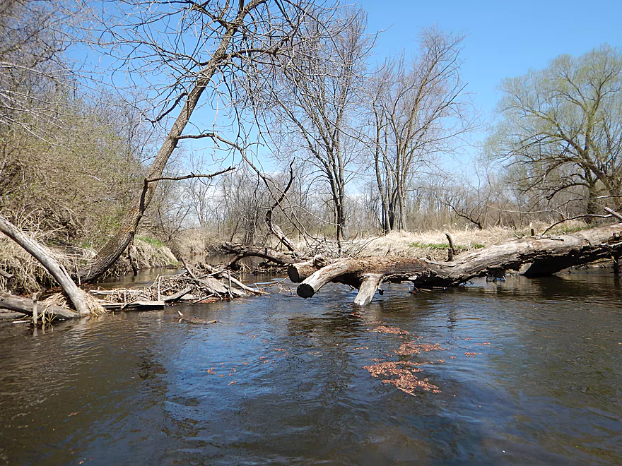
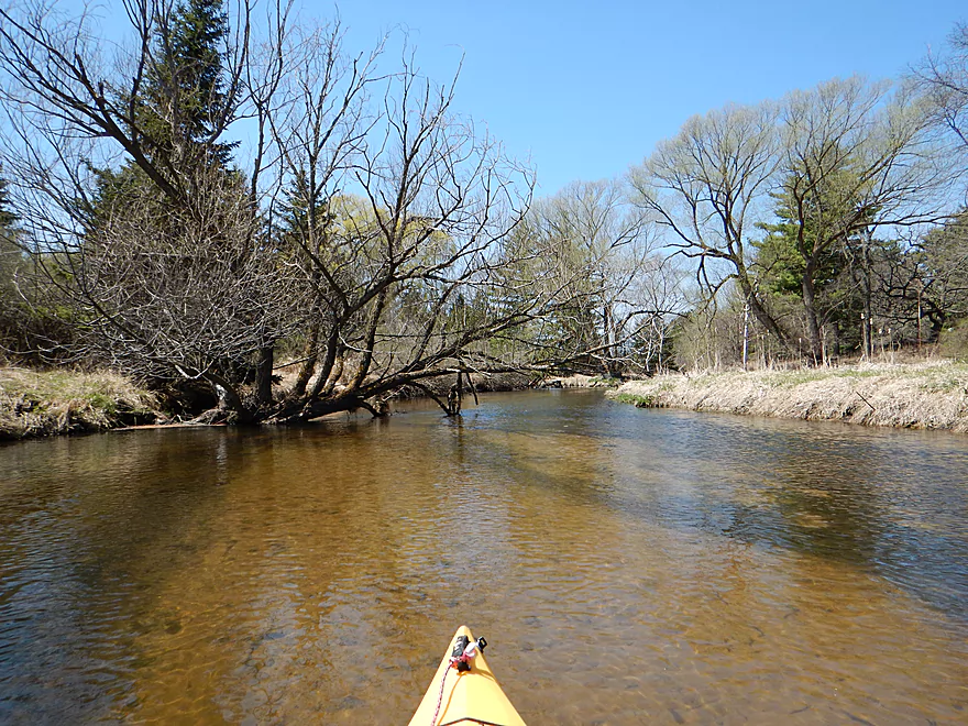
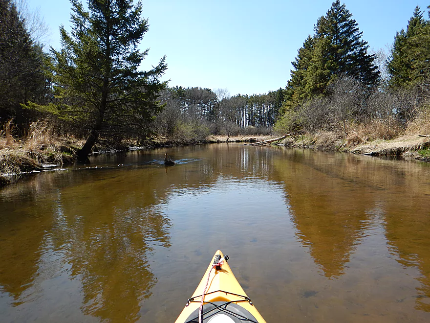
Nice half-mile wooded stretch
Water quality was FANTASTIC
Very sandy
Great tree canopies in the summer
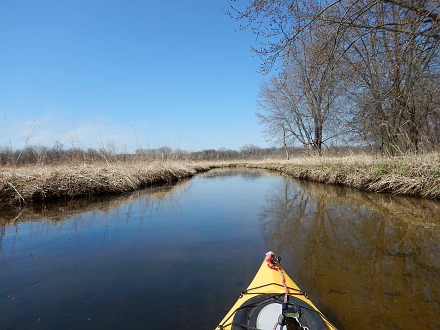
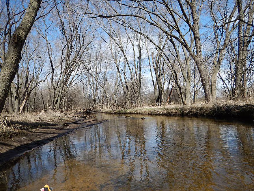
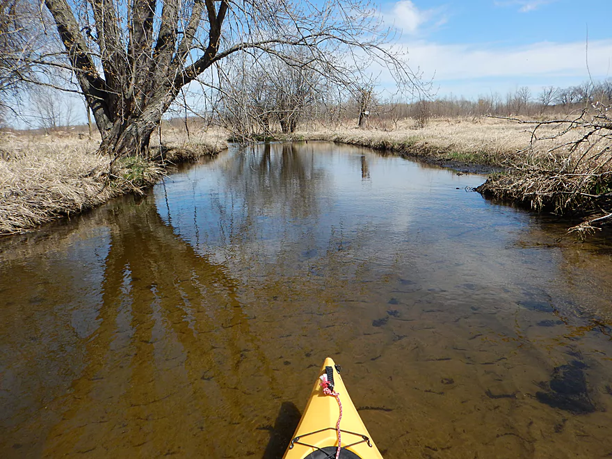
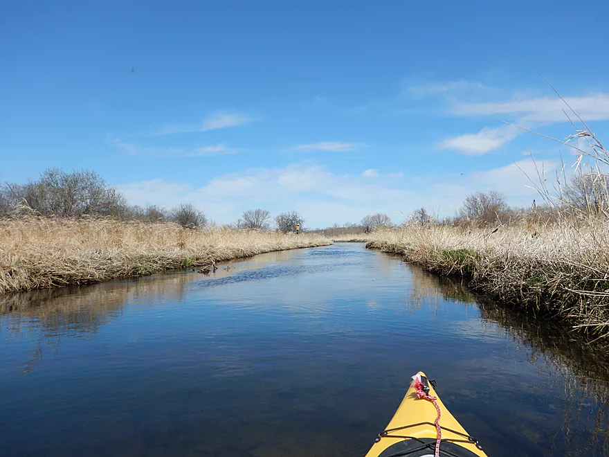
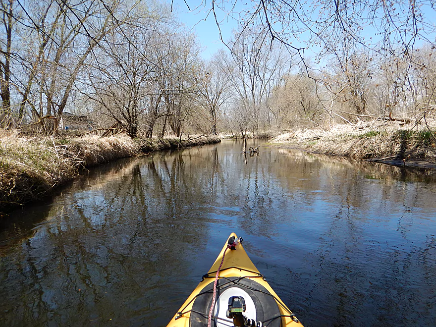
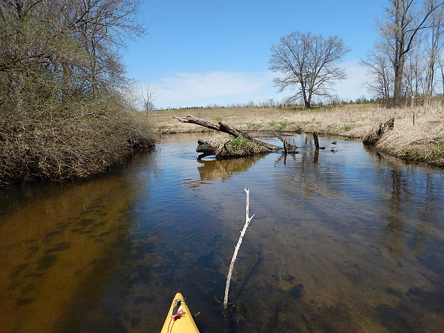
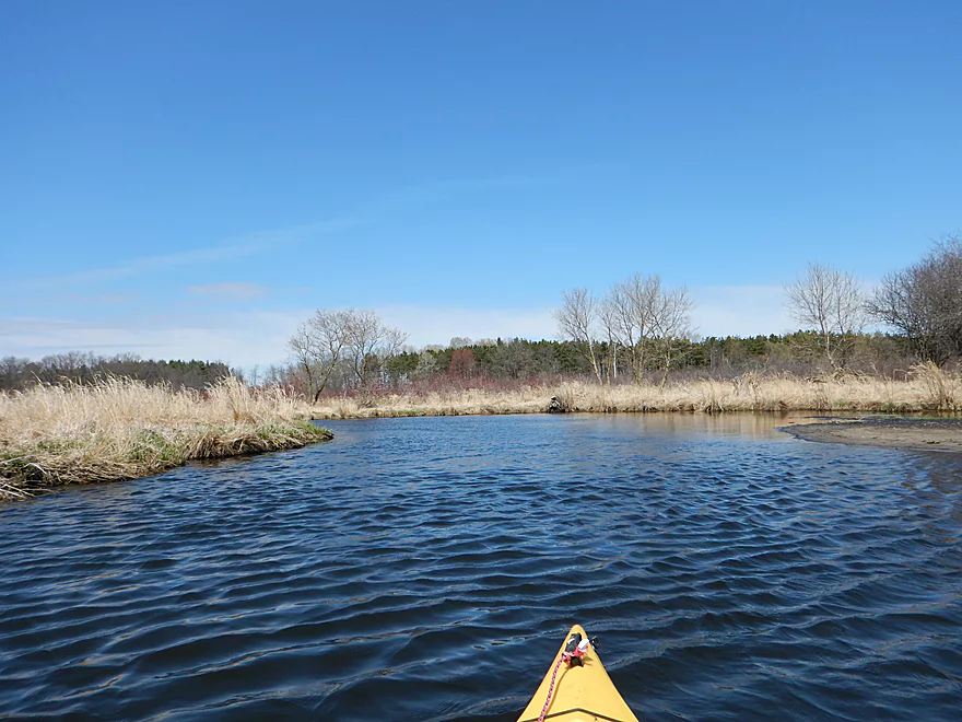
Next mile is very open
But still clear
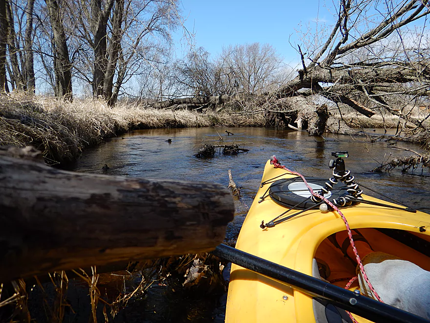
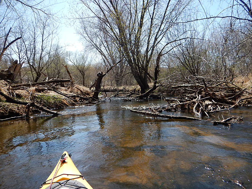
Somebody has been clearing out the jams
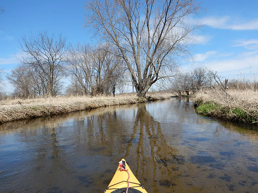
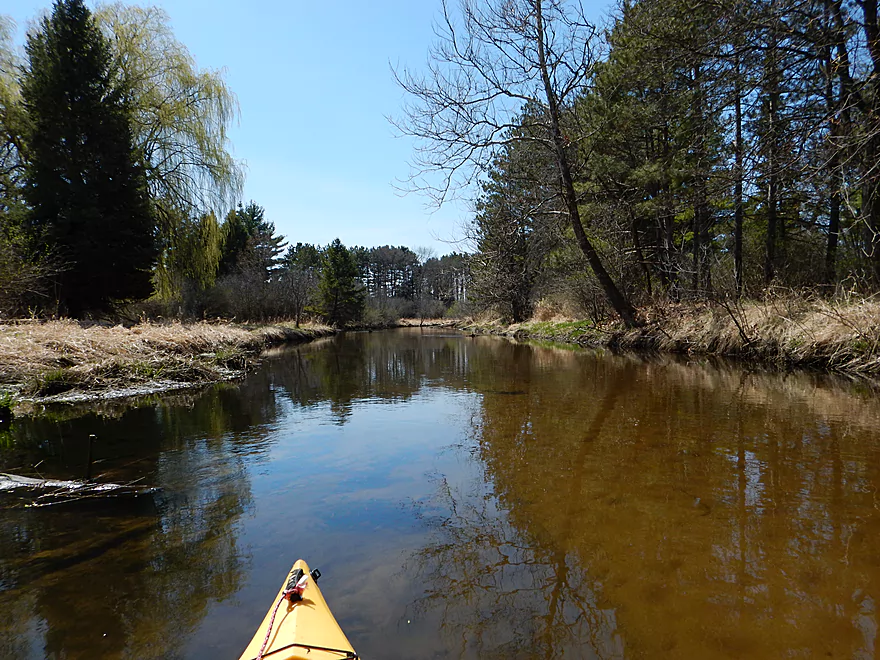
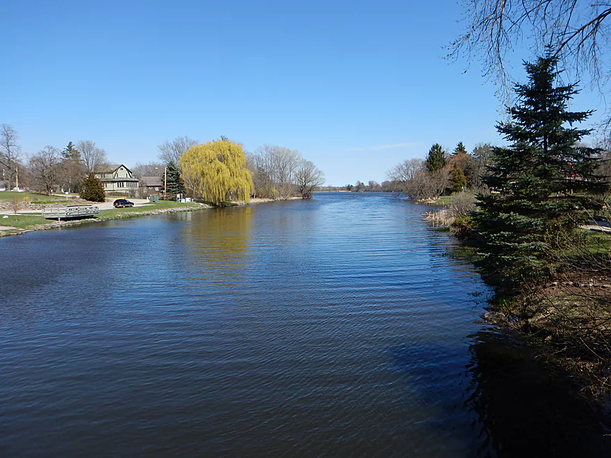
Many nice reflections on the trip
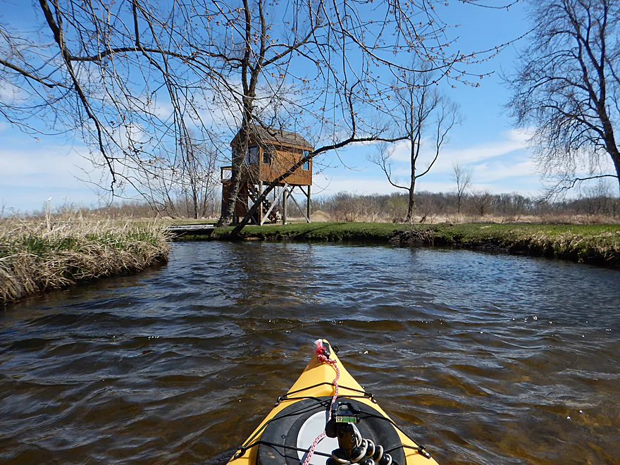
Luxury hunting blind
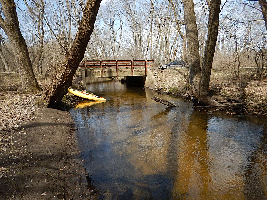
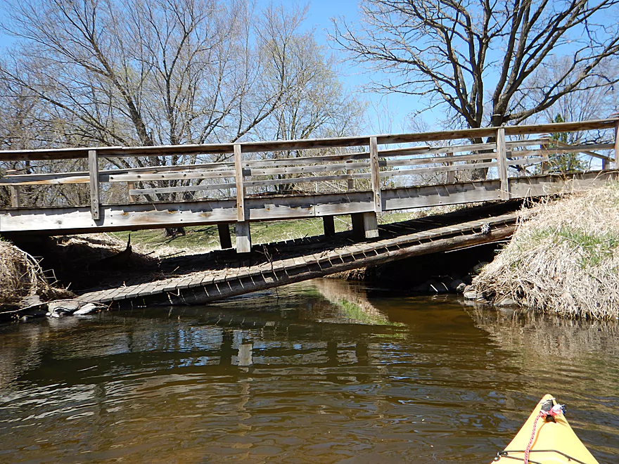
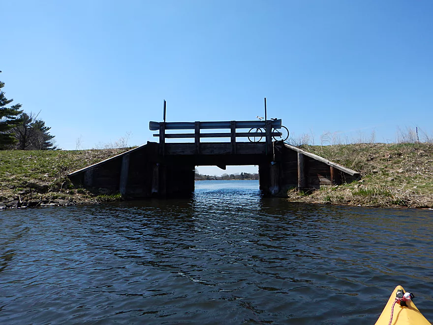
First pedestrian bridge (tight fit but I squeezed through)
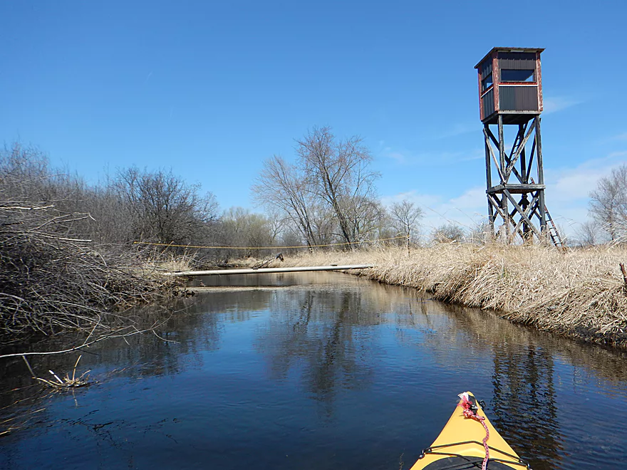
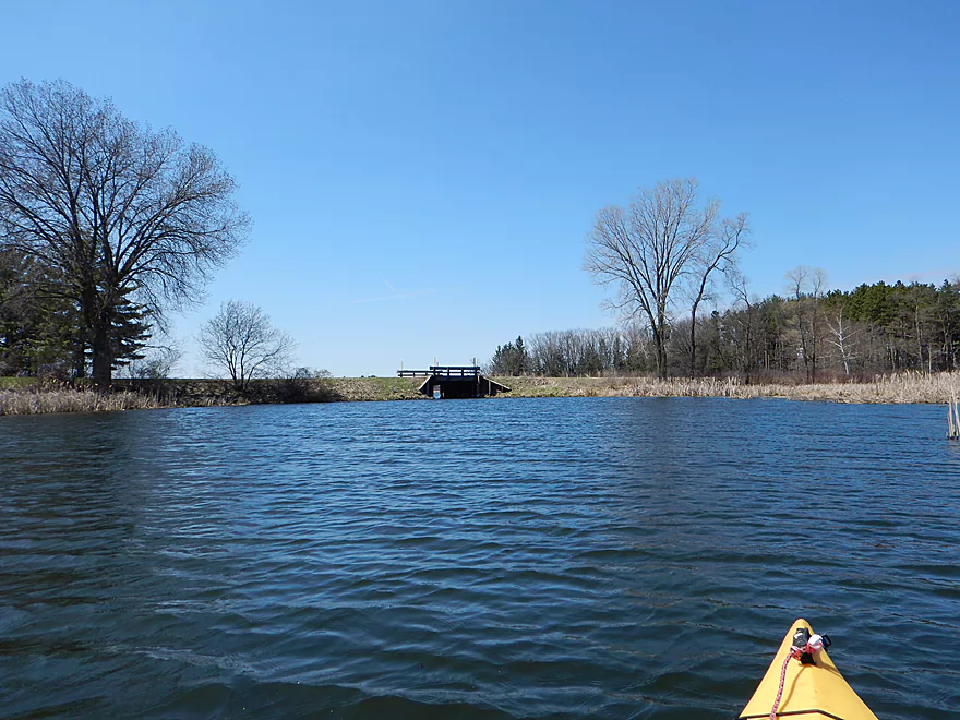
Second pedestrian bridge (and guard tower)
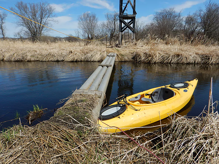
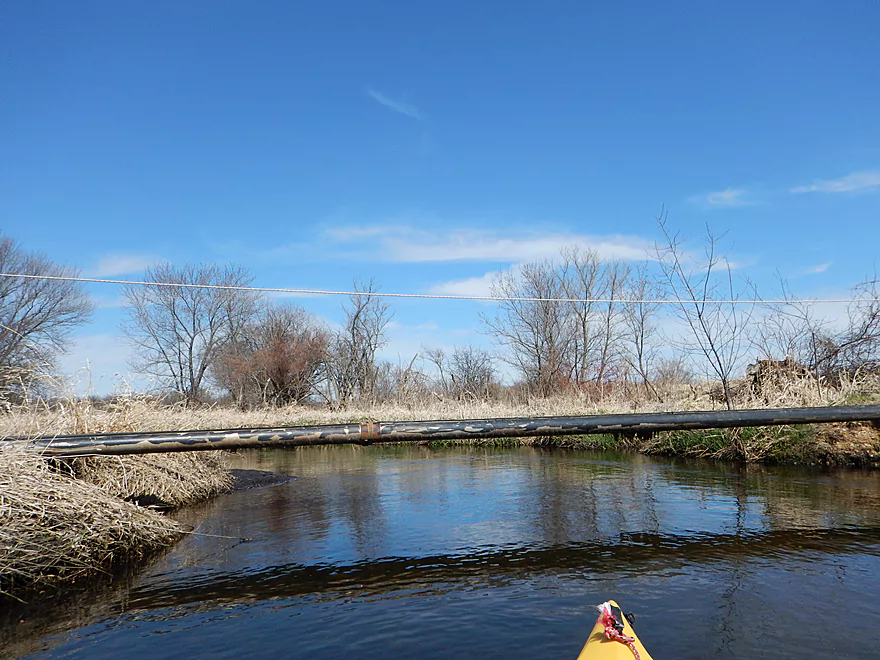
Not fitting under this one
Easy portage
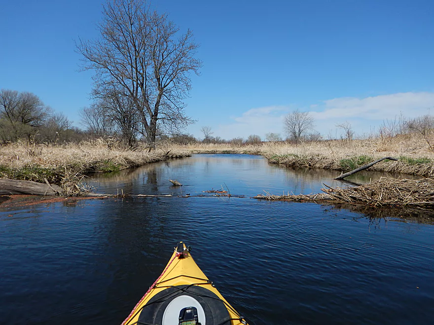
Log jam perhaps in low water
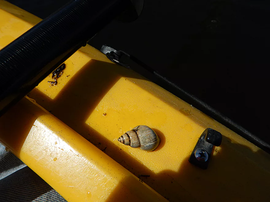
Number of snails in the creek
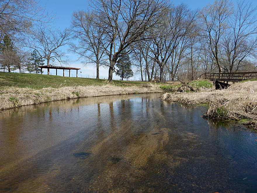
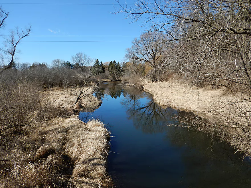
Hwy G is a possible access spot
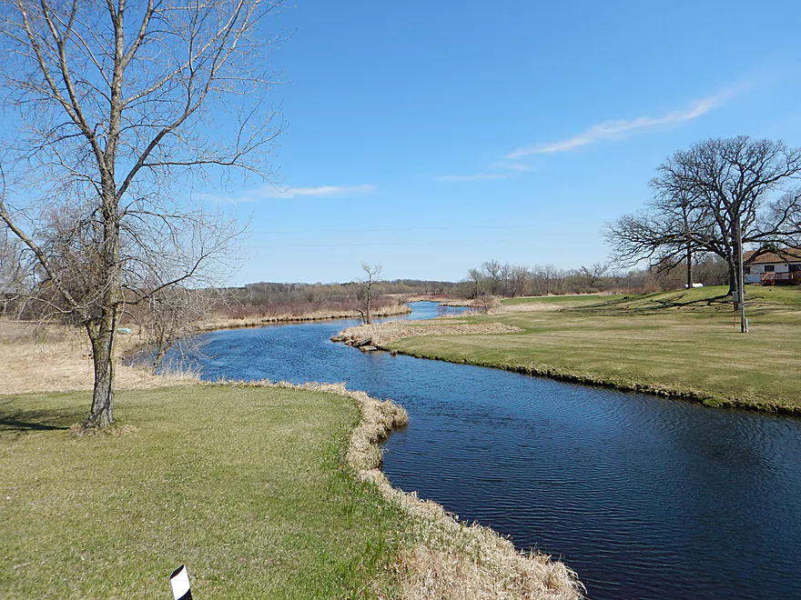
Looking upstream from bridge
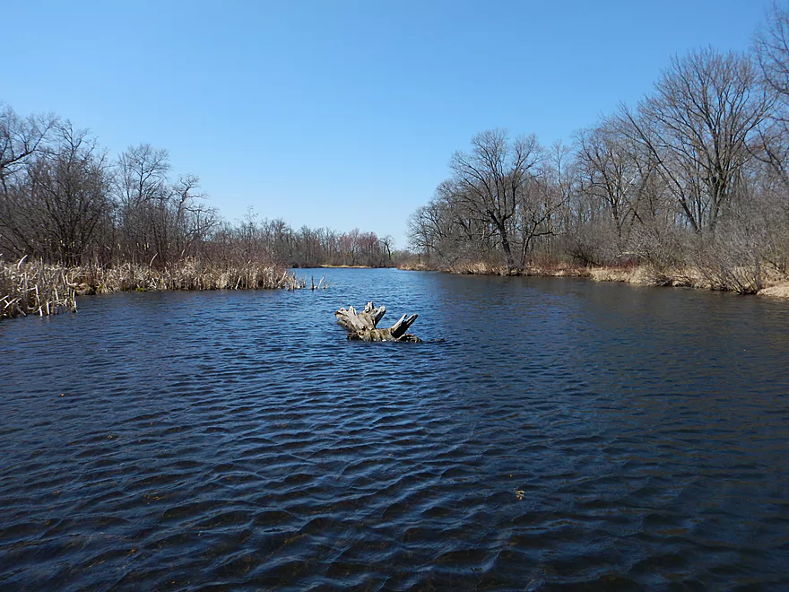
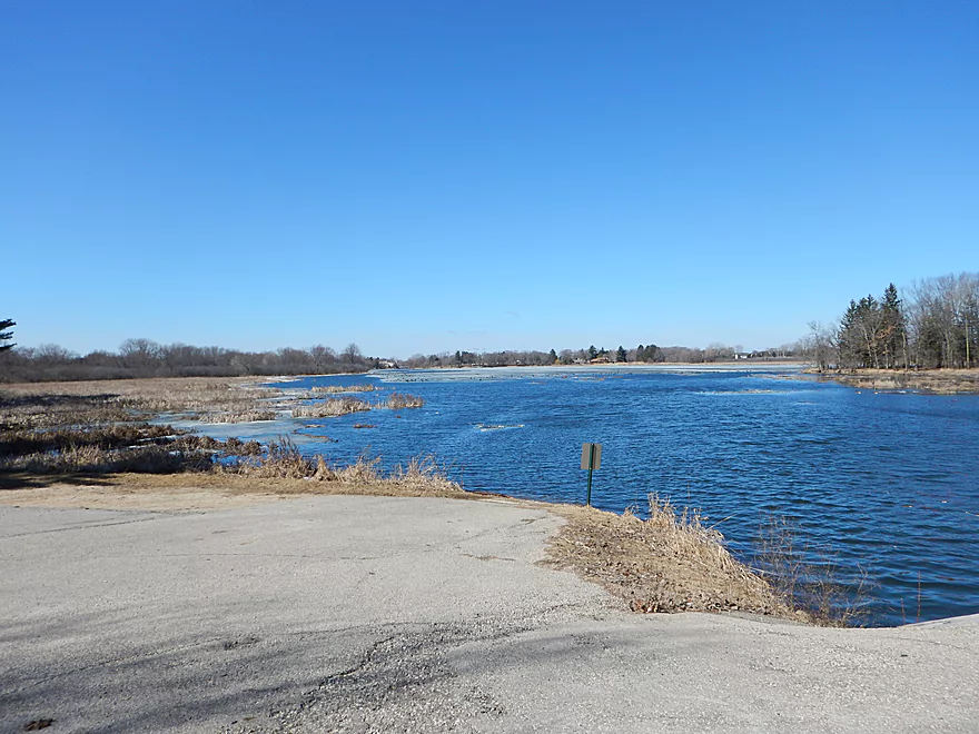
Entering the first flowage
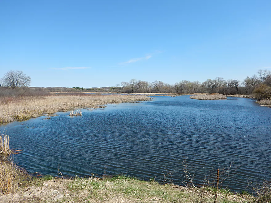
Boring and shallow
Culprit
Easy portage
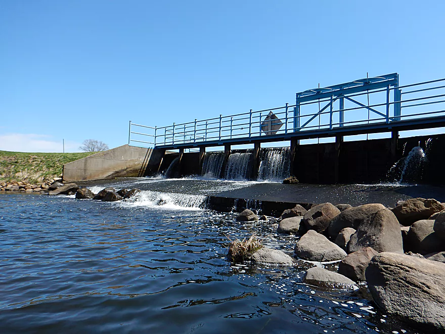
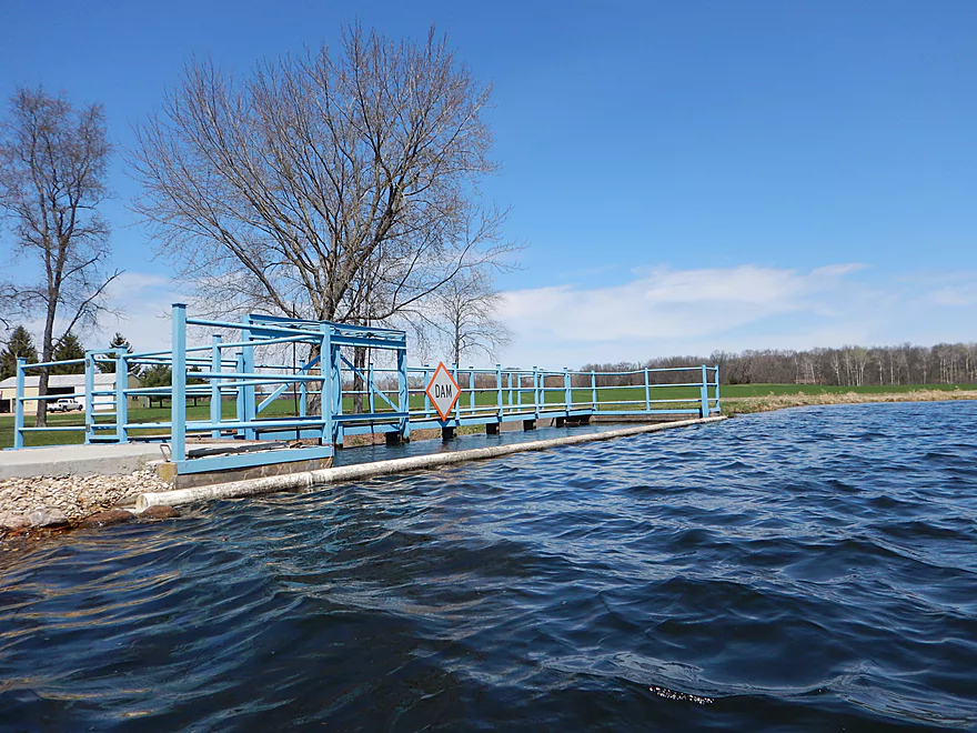
I was getting yelled at as I took this picture by the dam owner
Creek is quite nice below the dam
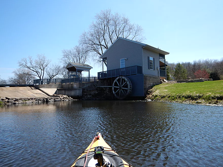
Old millrace and restored waterwheel (got yelled at for taking this picture too!)
Coming up on Twitchel Road (still being yelled at)
A tangle, but runnable
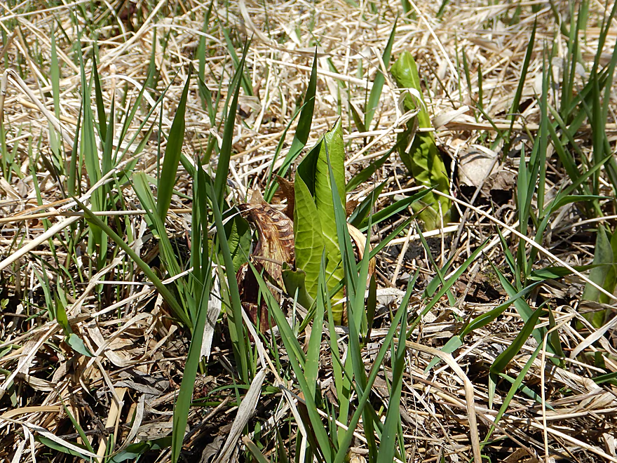
Early skunk cabbage
Lot of cleanup work on the creek (never had to portage a log jam)
Couple small sandbars on trip
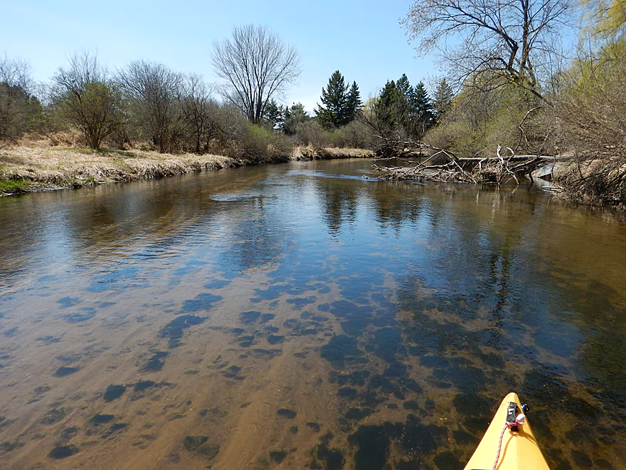
Mile following the dam was mostly like this
Tight fit, but I made it.
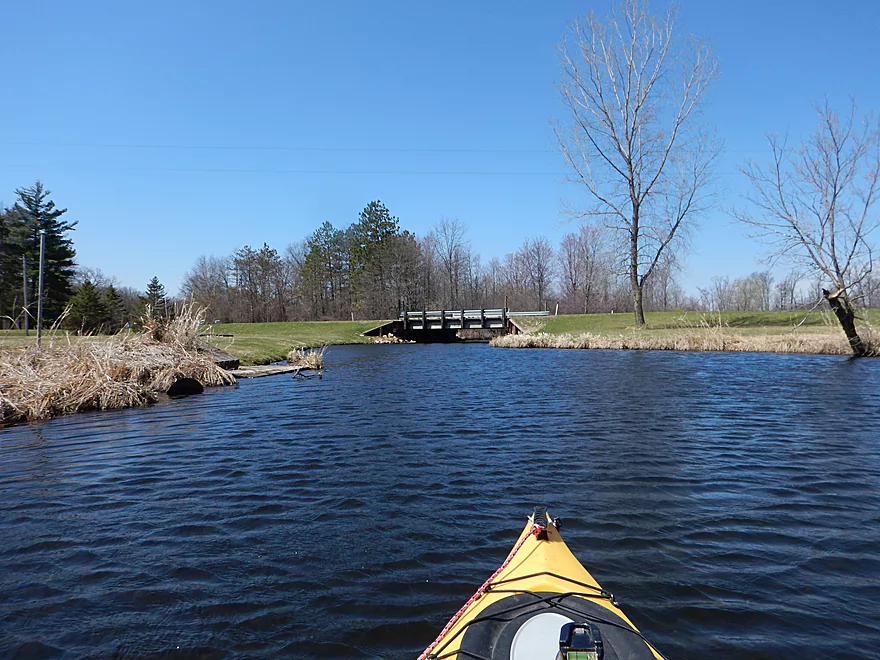
West Hill Road bridge
Looking upstream from bridge
Looking downstream from bridge
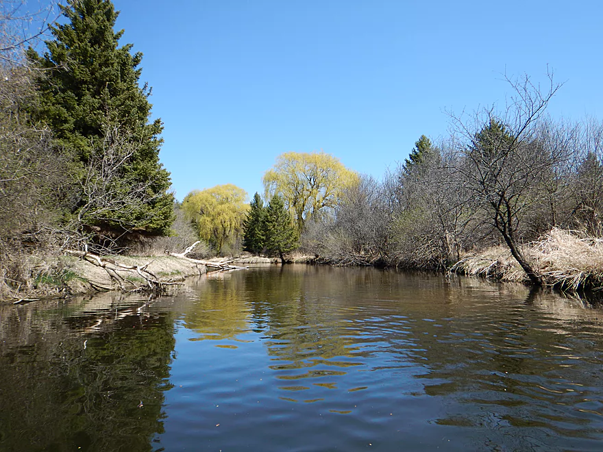
So cool….
Deja Mecan River
Micro-riffle
Surprise pines
Several small cabins on the creek (nothing major)
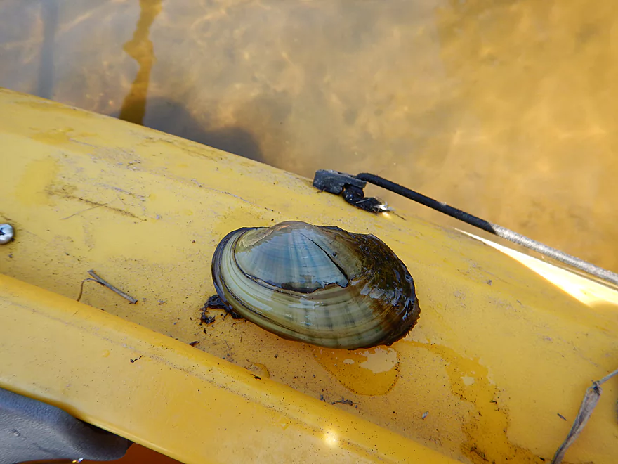
Male fat mucket (type of clam)
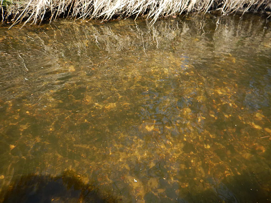
Some gravel substrate (not usual for southern WI creeks)
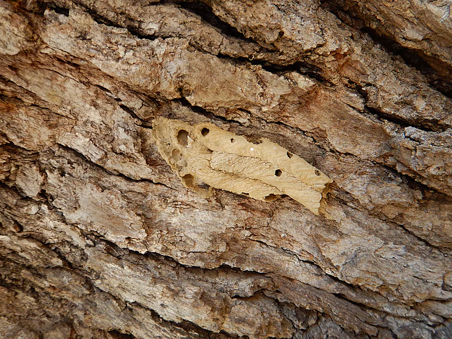
Mud dauber nest
Natural portrait
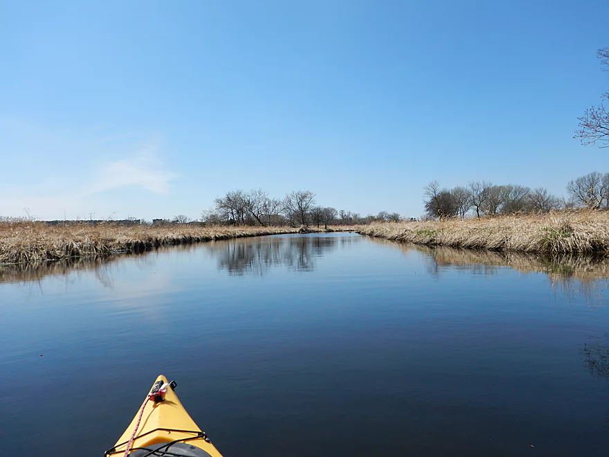
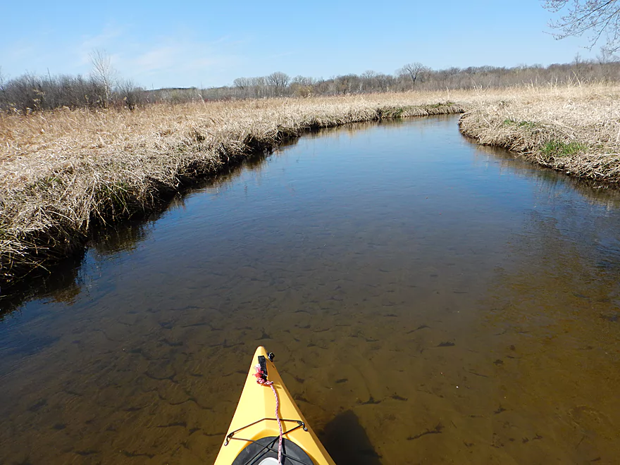
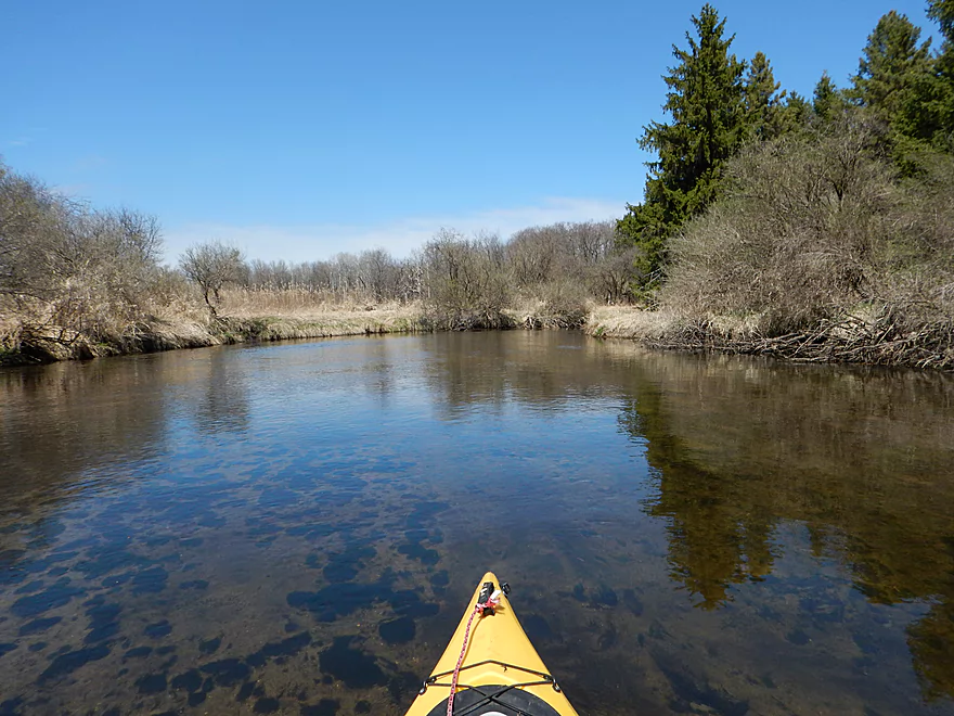
Last mile is very open
Lot of beaver evidence
Coming up on Wyona County Park
Not a lot of great locking spots for my bike!
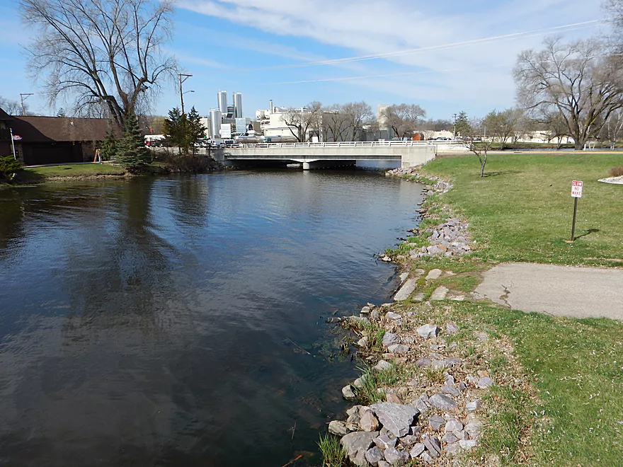
Good boat landing by bridge
Looking upstream at the flowage
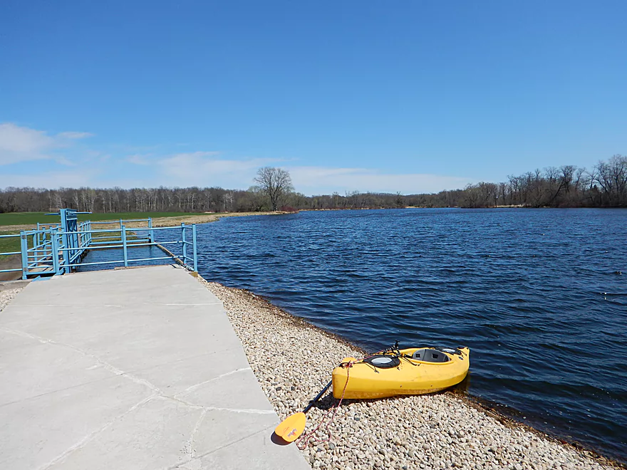
Scouting the Wyocena boat ramp
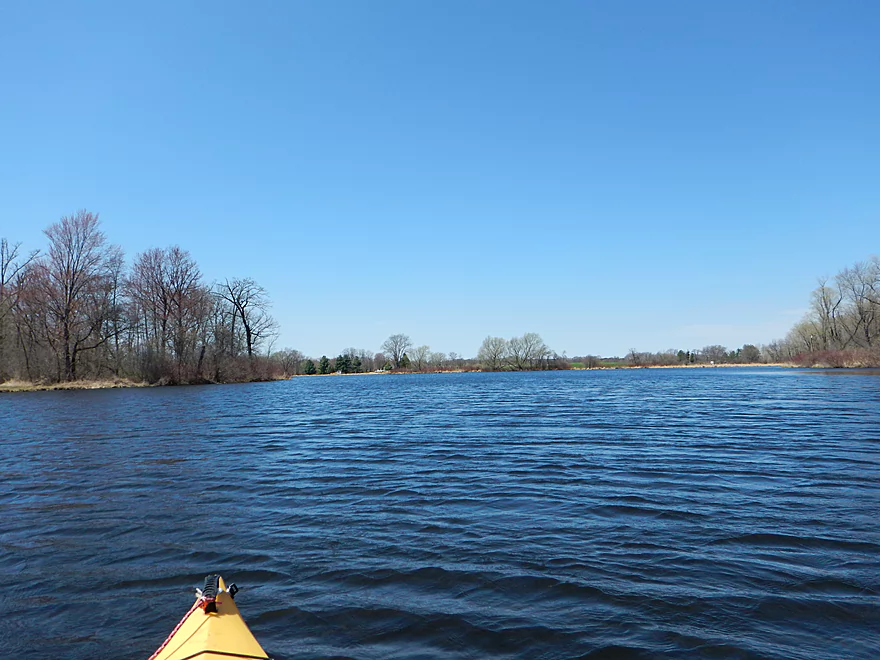
You can almost see Wyona Park in the distance over the flowage
Scouting Hwy G
Duck Creek Middle Branch


Favorite trip to date for 2015 with sublime water quality and surprisingly enough no portage necessitating log jams. On the downside, there was an issue with a local property owner.
Schliesmann Road Bridge is an attractive put-in. Parking is not five star but doable. Easy launching into the creek as the banks aren’t too steep.
Wyona County Park is a great take-out. Plenty of parking, great boat ramp and an outhouse in the nearby picnic area.
Easy bike shuttle at just 3.6 miles with just minor hills.
I thought this trip would have a lot of log jams, but was wrong as I never once had to portage a log jam…although there were some tight squeakers that those in bigger boats might not fit through. I did have to portage a small pedestrian bridge though and also the first dam (both easy).
Creek was plenty deep for my boat. Current was tame but good enough. You want to run this trip on the shallow side to experience the nice clear water (which high water would smother). This trip could have been run at lower levels if need be. Only significant shallow spots were from the silted in flowages, but these were manageable. There is no local gauge so I used the one in Lodi which is not great, but correlates close enough. Generally speaking, I’m thinking if you wait maybe 2-3 days after a light rain or 5-6 days after a heavy rain, Duck Creek shouldn’t be too deep.
FANTASTIC water clarity (one of the clearest I have ever paddled). Especially outside of the two flowages. Substrate was very sandy (which kept things clean). There was some mud in the silted in flowages and gravel below Twitchell Road (unusual for southern Wisconsin streams). Definitely recommend floating this creek in shallower water so you get the same clarity I experienced.
Ducks, geese, cranes, green heron and a lot of small birds that I didn’t recognize. Saw several large turtles, clams, snails, some fish in the clear water below the first flowage (cool) and some carp in the first flowage (not cool). I took a picture of a mud dauber nest which is always a treat. Basically they are wasps that build unique “pipe organ” shaped mud nests. At the base of the “pipes” they store dead spiders which are food for little wasplings.
The first mile of the trip runs through an attractive wooded section. From my initial scouting, I was terrified that there would be a ton of log jams, but it turned out this was not the case. Many had been cleared out and the remainder I was able to navigate through with some ducking and hopping. The creek is very attractive here with great water clarity, sandy substrate, clean shallow banks and nice tree canopies. Had I known it would be this nice, I would have banked it for summer.
Mile 2 of 4 runs through an open wetgrass area that isn’t as interesting but is still cool. There are two small pedestrian bridges that are an nuisance. I was able to duck under the first, but the second I had to portage. Very easy though. After Hwy G, the creek opens up and slows down from the flowage. The mill pond is not very interesting but not a huge distance. The dam is very easy to portage.
Miles 3 of 4 is where things got interesting… As I was portaging the dam, the dam owner came over and yelled at me for trespassing on her stream, her pond, her dam, her land, etc… I politely explained that Duck Creek was a public waterway and that bypassing obstructions and dams is a right for paddlers even if going over private property. This has been established by federal case law, the Wisconsin State Constitution, Wisconsin case law and spelled out in simple terms on the DNR’s website. This wasn’t even debatable, but I was being polite with the lady. She was relentless though.
When I resumed my portage, she told me I couldn’t put in below the dam because the rocks prevented access (they weren’t an issue). Was then told the creek was too small to paddle and I would never get through the log jams. THEN she was worried that my plastic kayak would mess up her rocks….I was worried about the opposite. As I floated down the creek taking pictures as usual (I take a ton for each trip), she continued to harp on me for taking pictures of “her creek” and her buildings. Apparently she has never heard of google street view nor satellite images. Just a frustrating experience as she would follow my kayak along the shore yelling irrational things at me…I’m sure most of you have all have dealt with people like this before. Don’t be discouraged by this as the law is on your site. You can portage the dam, but do so quickly and be on your way before you get ambushed by “pond lady”.
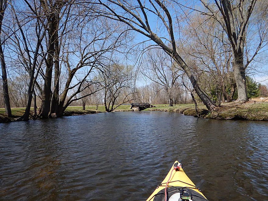
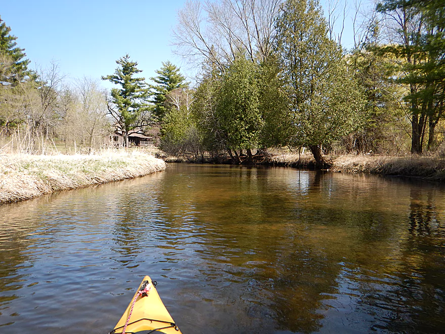
Now for good part. The mile following the dam was FANTASTIC. Super clear water, with attractive banks of weeping willows and pines. Very much reminded me of the Upper Mecan River. This was by far the best part of the trip.
The last mile sees a return of open wetgrass…still solid and clear but not as exotic. Here the flowage checks in and the trees check out.
The take-out at Wyona Park was very good and a nice way to wrap up the trip.
Some houses on the creek but nothing major nor too obtrusive. A number of hunting blinds on the creek (some of them being quite fancy). The two low pedestrian footbridges were annoying but managable. The biggest human impact on the trip would be the two dams/two flowages. It’s an irony that the lady I encountered, who was so proud of her dam, has a very silted in flowage. Close to the dam, there was only maybe a half foot of depth (which is significant). This is predictable and happens to all dams. The flowages turn into sediment landfills, fill up over time and then doom the dam that created them (fluvial morphology’s Dr. Frankenstein). Basically each successive spring flood will “mysteriously” (to the locals) become more and more severe until the dam or dike goes, thus restoring things to their natural balance. Unless the flowage is dredged which is very expensive. The second flowage is also silted in, but not as bad.
To see an overview map of Duck Creek click here.
Duck Creek – Main Branch:
- Wyona County Park to Wyocena Boat Ramp: 0.7 miles. A brief flowage paddle on Wyona Lake.
- Wyocena Boat Ramp to Hwy G: 2.9 miles. A nice stretch with decent clarity.
- Hwy G to Duck Creek Road: 6.7 miles. A wider and slower section…more of a marsh paddle. Hwy G is an alternate put-in.
- Duck Creek Road to Mouth/Dekorra Landing: 5.6 miles. This is a floodplain forest paddle in which logjams and getting lost can be an issue. Navigational aids are recommended…as is going when water levels are high enough. Despite this, it is a neat prospect that I’ve partly done before.
Duck Creek – Middle Branch:
- Upstream of Raddatz: There may be navigable sections this far upstream…I’m not sure though.
- Raddatz Road to Hwy SS: 1.9 miles. This is a small marsh paddle that may require high water to run. There could be four logjams.
- Hwy SS to Schliesman Road: 2.7 miles. Mostly open, clear, sandy water…but might be log jam issues at the end.
- Schliesman Road to Wyona County Park: 4.2 miles.
-
- Schliesman Road to Hwy G: 1.9 miles. A nice stretch with good clarity. There may be several logjams to squeak through and two low bridges to portage.
- Hwy G to Wyona County Park: 2.5 miles. One dam to portage…the dam owner is crazy and very irrational. She thinks (falsely) she owns Duck Creek and only she can use it. After the dam there is stunning clarity and it’s a really cool stretch.
-
Duck Creek – North Branch:
At Wyona Park, the North Branch of Duck Creek joins the Middle Branch and significantly changes the character of the stream. The North Branch is bigger and dirtier, but still not bad.
- W. Florence St./Cambria to Welsh Prairie Road: 2.0 miles. Looks like a nice creek paddle. Maybe 1-2 downed trees.
- Welsh Prairie Road to Sawyer Road: 4.5 miles. Heavily straightened and channelized running through an expansive wet prairie. Might be a few downed trees. Suggest going at high water as the channel does get extremely narrow.
- Sawyer Road to Hwy SS: 4.2 miles. Very open and channelized. Log jams shouldn’t be an issue.
- Hwy SS to E. Bush Road(1st): 2.6 miles. Inviting section. Maybe 2-3 log jams. There are No Trespassing signs near Hwy SS so be mindful of where you are at.
- E. Bush Road(1st) to E. Bush Road(2nd): 4.8 miles. Very open part of the creek. Maybe 1 jam.
- E. Bush Road(2nd) to Wyona County Park: 1.9 miles. Mostly open. Maybe 1-2 jams.
Jennings Creek:
- Ludwig Road to Old B Road: 2.6 miles. Water looks clear. Creek is very small and some plowing through overhanging brush may be required. Tough to know about logjams. Maybe 7.
- Old B Road to Hwy SS: 1.8 miles. Small, nice looking creek with clean water and some riffles. One dam to portage…maybe 7 logjams.
Duck Creek – South Branch (aka Roelke Creek):
- This is the cleanest of the Duck Creek tributaries and is a cool creek. I don’t know if it is completely viable for paddling though and I do need to scout it more in depth in the future.
Trip Map
Overview Map
Video
Photos Size:
That was a really good trip report! We followed that but
going upstream not downstream from Wyona Park (very nice park with flush toilets no less). Very difficult to go upstream where they tried to make a dam in the river. Then we couldn’t get beyond where the pedestrian bridge has fallen as our boats ride too high in the water. Exactly like in the photos. Nonetheless it was a very likeable trip on the clear duck creek.
Then we came back and went around the park to the other side and went up the other creek which was muddy. But interestingly, there was more wildlife, a lot more. I take it there were more fish in the muddy stream than in the clear stream? Many many green herons, one great egret, blue herons, many wood ducks with broods, king birds, etc. It’s a nice alder marsh habitat. Finally we encountered wood blockage and gave it up. Saw a hunting Osprey over the lake on the way back. Very nice area!
Paddling upstream to avoid the dam is not a bad idea. Too bad about the bridge…but you did experience the best part. I’m not too familiar with the North Branch of Duck creek nor its wildlife, but it does sound promising and it is on my future todo list.
Thanks for commenting!
I did this section on 6/25/19, with an easy bike shuttle.it took just under 2 hours. It was a great trip,but the water clarity on the first section was not as clean/clear as you describe but it has been raining a lot so that may be the reason. It was much better after the dam. Other than the dam, there were only three obstructions, 2 floating foot brides and one tree down, but all were fairly simple portages, there were a few other tight spots but nothing required getting out of the boat. I saw many deer, ducks, geese, hawks, 2 owls,one muskrat, and no angry dam owners. This is a great short trip with an easy bike shuttle
Appreciate the update. The key for clarity is strong sunlight, current low water levels, and historical low water levels to let the sediment settle. I bet this will be better later this summer.