Lemonweir River
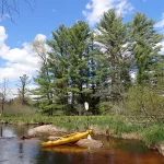
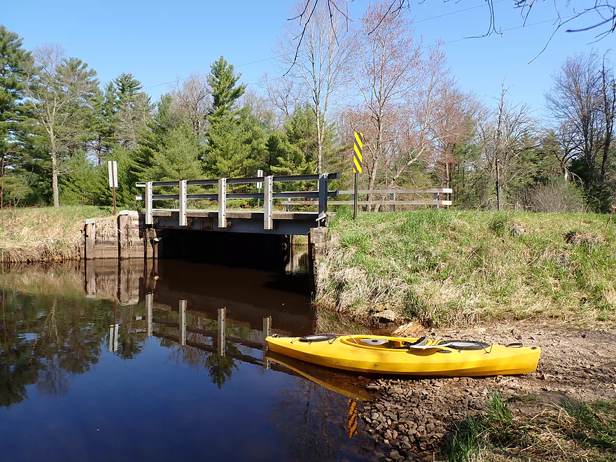
This is a slow, sandy river often plagued with logjams. It’s not an elite paddle, but a few stretches are nice.
Trip Reports
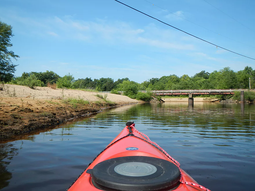
Cty Road EW to Buckley Ave
Date Paddled: May 9th, 2026
Distance: 3.8 miles
Time: Expect 1-2 hours
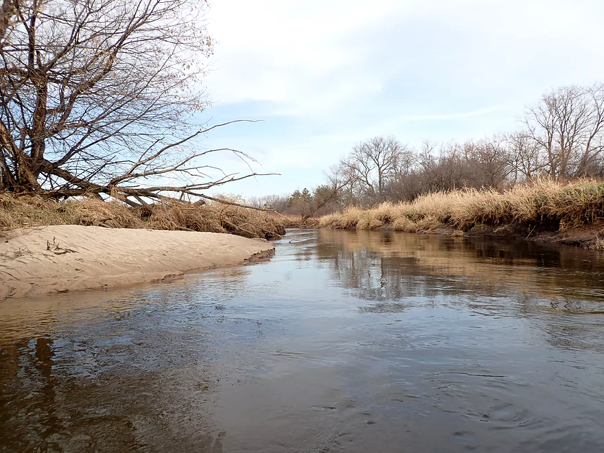
The upper Lemonweir is an inconsistent paddle that few people even know exists. It starts on slow, open cranberry bogs where you’ll face artificial dikes and a low-hanging deer fence. The second half shifts into a natural, red-water creek with impressive white pine stands, though you'll have to portage several logjams to see them.
Read More...Buckley Ave to Hwy 173
Date Paddled: May 3rd, 2020
Distance: 4.6 miles
Time: 4 hours 42 minutes (2.5 hours would be more typical)
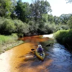
This is one of the nicer stretches on the Lemonweir River. Highlights on this super sandy stretch include many pine trees and clear red water. There were a handful of logjams that had to be portaged but they weren't that difficult.
Read More...Hwy 173 to Copper Road
Date Paddled: August 31st, 2025
Distance: 3.8 miles
Time: Figure 2 hours
This is a lesser known but nice stretch of the Lemonweir River. Highlights include frequent sandbars and attractive clear red water. Unfortunately there are some difficult logjams to deal with.
Read More...Butts Park to Forbes Road
Date Paddled: November 19th, 2020
Distance: 4.5 miles
Time: Expect 3 hours
This is an obscure stretch of the Lemonweir River located near Tomah. While it enjoys good clarity and some surprisingly nice sandbars...it just has too many logjams to recommend.
Read More...Forbes Road to Cty Road N
Date Paddled: May 10th, 2025
Distance: 6.9 miles
Time: Expect 3 hours
Located near Tomah in cranberry country, not many paddle the South Fork of the Lemonweir and there is little known about it. But it turned out to be a nice trip with good clarity and a lot of sand.
Read More...37th Street Public Access to Riverside Park in New Lisbon
Date Paddled: October 12th, 2014
Distance: 6.1 Miles
Time: 4 hours 18 minutes (3 hours would be more typical)
A big, long lake pretending to be a river. Honestly, somewhat boring, but a nice rock outcropping, fall leaves and attractive white pines gave it redeeming value. Put-in: The old put-in for this stretch used to be the Hwy M bridge (southeast side). While there still appears to be a launch there, there are “no […]
Read More...Mauston Dam to 19th Ave Landing
Date Paddled: May 25th, 2012
Distance: 5 Miles
Time: 3 Hours
This is probably not one of the more well known rivers, but it is very nice never-the-less. It empties into the Wisconsin River just north of the Dells rock formations. The upper sections are absolutely not as popular as the lower sections. Mike Svob does review one such section north of New Lisbon, but it […]
Read More...19th Ave Landing to HH Landing
Date Paddled: July 20th, 2013
Distance: 14 Miles
Time: 5 hours 15 minutes
Having done and been pleasantly surprised with the previous two sections of the Lemonweir below Mauston, I decided to do the “middle section,” which is a 14 mile stretch from the 19th Ave Landing to the HH landing (bridge to bridge). If you haven’t already, go ahead and read my review for the first five […]
Read More...County HH Snowmobile Bridge to Two Rivers Landing
Date Paddled: June 17th, 2012
Distance: 4-5 Miles (depends on your maze route)
Time: 5.5 Hours (atypical...expect 2-3 hours instead)
Again, if you’ve read my previous review of the Lemonweir you know there are three segments below Mauston and to the Wisconsin River based on the landing options: a five mile section, a ~14 mile section, and then a remaining 5 mile section to the Wisconsin. This review will be of that last section. You […]
Read More...Overview Map
Detailed Overview
Lemonweir River - Main Branch:
- East/South Fork Confluence to Cty PP: 1.0 miles. Likely around 3 logjams.
- Cty PP to Funnel Road: 2.0 miles. Very straight channel with roughly 6 logjams.
- Funnel Road to 2nd Ave: 1.2 miles. Highly channelized and straight with about 3 logjams.
- 2nd Ave to Cty H: 1.8 miles. Roughly 4 logjams. The channel can be poorly defined at times.
- Cty H to River Road: 2.3 miles. Expect 4-6 logjams and confusing side channels where navigation is a challenge.
- River Road to 6th Ave: 5.4 miles. Likely navigable, but expect a high volume of logjams.
- 6th Ave to 37th Street Landing: 4.4 miles. Occasionally paddled but contains several logjams.
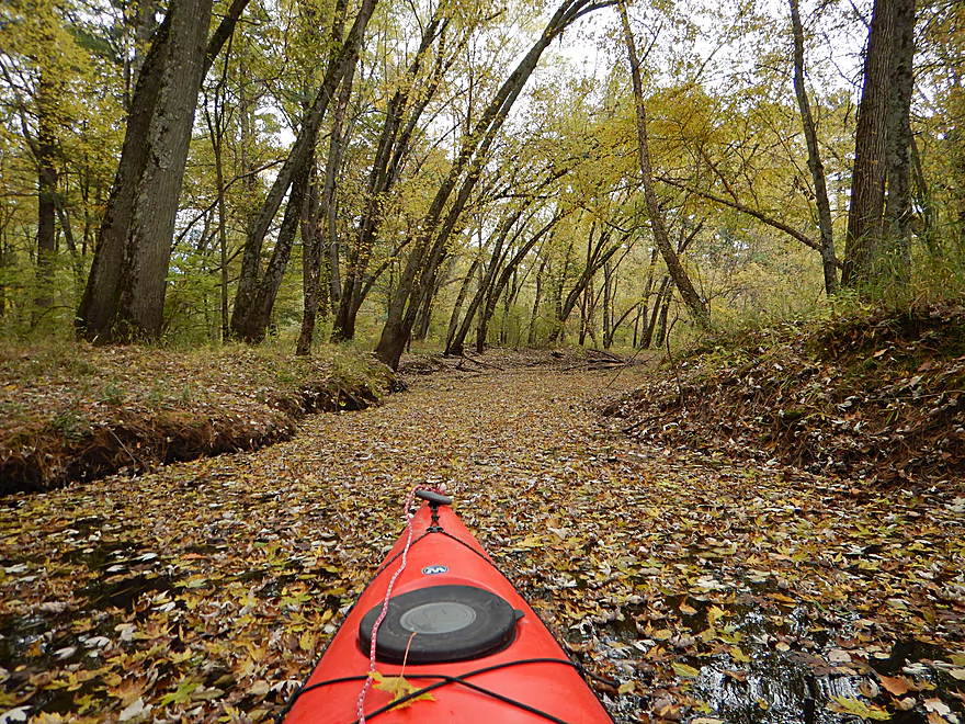
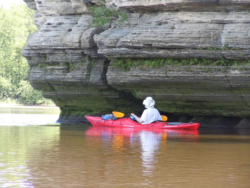
- 37th Street Landing to New Lisbon: 6.6 miles. A long, slow stretch that feels more like a lake than a river. While somewhat monotonous, the rock outcroppings, white pines, and fall colors provide some redeeming beauty.
- New Lisbon Dam to Hwy 12/16 Shoulder: 7.9 miles. A promising prospect featuring a “Little Dells” rock outcrop, though hampered by about 6 logjams. The Hwy 12/16 shoulder is a speculative but potentially an access point.
- Hwy 12/16 Shoulder to Riverside Park in Mauston: 4.6 miles. Mostly slow, open paddling through river flowages.
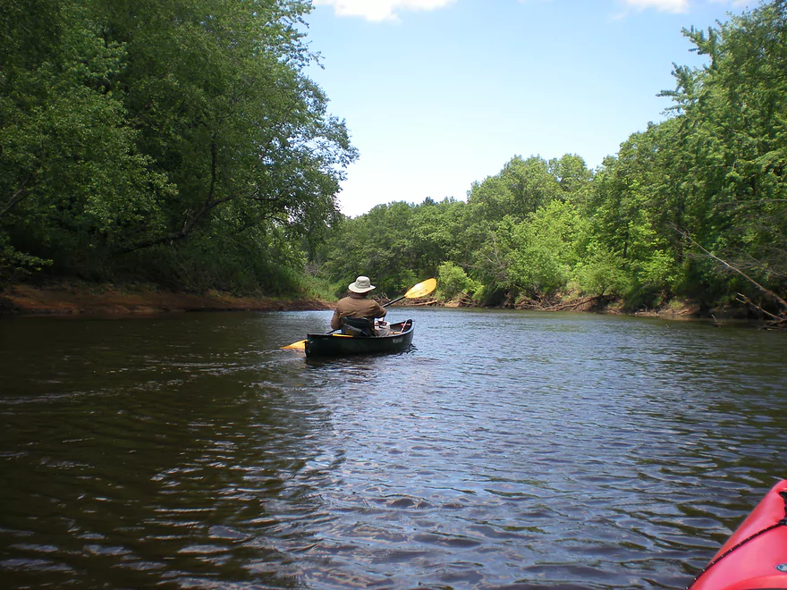
- Mauston Dam to 19th Ave: 4.5 miles. One of the premier stretches on the river.
- 19th Ave to Cty HH: 13.1 miles. Less engaging with a noticeably slower current.
- Cty HH to the Mouth: 3.3 miles. An excellent section with beautiful rock outcrops that serve as a prelude to the Wisconsin Dells.
Lemonweir River - East Fork:
- Cty EW to Buckley Ave: 3.4 miles. Begins in cranberry bogs before transitioning into a sedge-lined creek and concluding with a spectacular corridor of towering white pines. Expect roughly five logjams, mostly near the end.
- Buckley Ave to Hwy 173: 4.7 miles. One of the most scenic and diverse stretches of the Lemonweir, featuring marshes, a lake, cranberry bogs, sandbars, and towering pines. A handful of easy-to-portage logjams are located near the end.
- Hwy 173 to Cooper Road/Dam:
- Hwy 173 to Dove Ave: 0.9 miles. A lovely, open leg with clear red water and numerous small sandbars. Includes one minor, easy portage.
- Dove Ave to Cooper Road: 2.4 miles. A mediocre stretch flanked by frac sand mines and cranberry bogs; much of the channel is ditched and straightened. The half mile below Dove Ave contains several logjams, some requiring difficult portages.
- Cooper Road to Backwater Bar Dam: 0.2 miles. A short but scenic flowage set against attractive pines. The dam is not a practical take-out due to trespassing restrictions and proximity to the spillway.
- Backwater Bar and Grill to Hwy 21: 0.5 miles. Likely congested with near-constant logjams.
- Hwy 21 to East/South Fork Confluence: 0.3 miles. Expect 2-3 logjams.
Lemonweir River - South Fork:
- Butts Park/Lake Tomah to Forbes Road: 4.5 miles.
- Butts Park to Lake Tomah Dam: 0.2 miles. A quick paddle across Lake Tomah to reach the spillway.
- Lake Tomah Dam to Memorial Park: 1.2 miles. A narrow, sandy stretch with a high number of downed trees.
- Memorial Park to Tomah Dog Park: 0.6 miles. Mostly pleasant and open, though one large logjam requires a very difficult portage.
- Tomah Dog Park to Forbes Road: 2.5 miles. The first half is heavily obstructed; the second half is more open but still requires two logjam portages.
- Forbes Road to County N: 6.9 miles.
- Forbes Road to Cty ET: 1.6 miles. A high-quality stretch with good clarity, a sandy bottom, and one manageable logjam portage.
- Cty ET to Cty N: 5.3 miles. Scenic and clear, passing through grasslands, frac sand mines, and a massive cranberry bog. Includes three logjam portages.
- County N to Excelsior Ave: 3.0 miles. Open through the golf course, but the wooded sections likely contain 6-8 logjams.
- Excelsior Ave to East/South Fork Confluence: 0.5 miles. Likely riddled with countless logjams.