
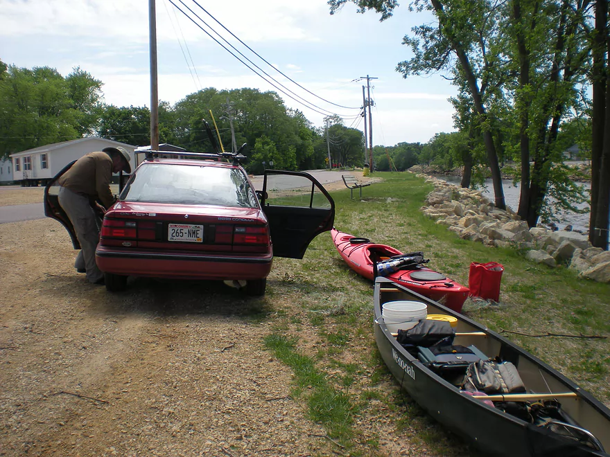
Nice pulloff area in Mauston
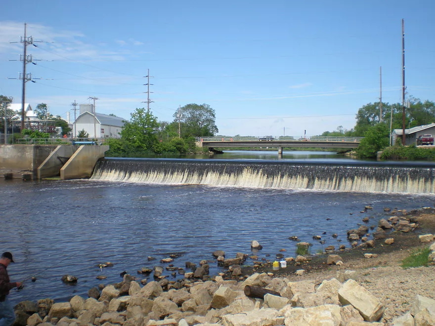
The Mauston dam
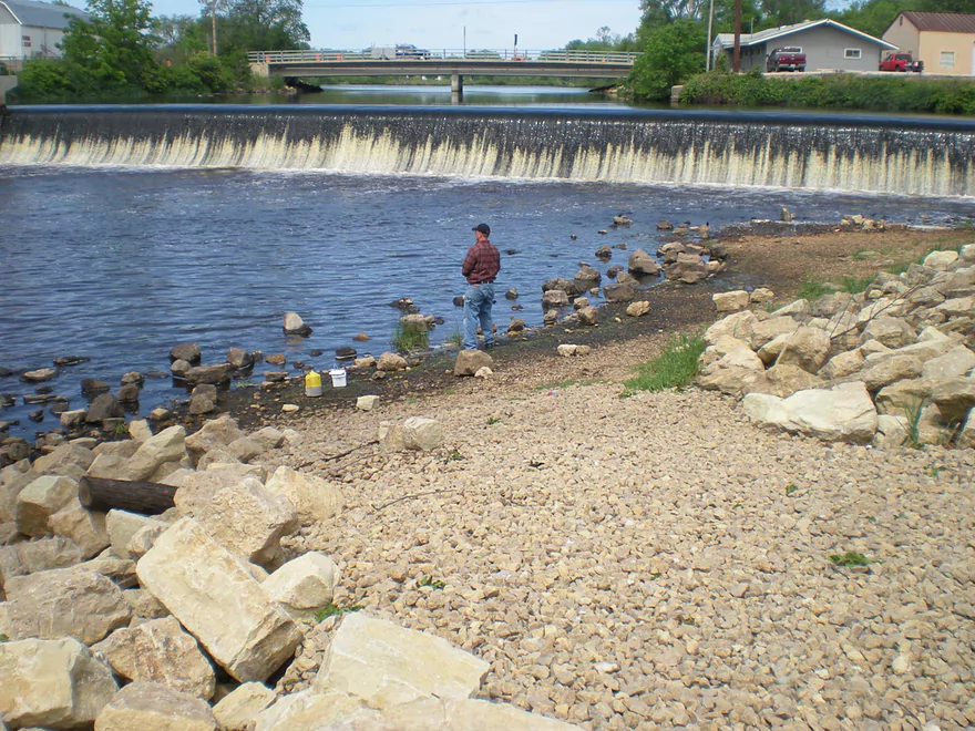
Great launch area just below
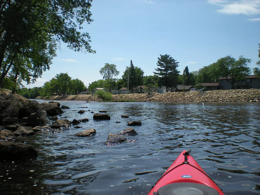
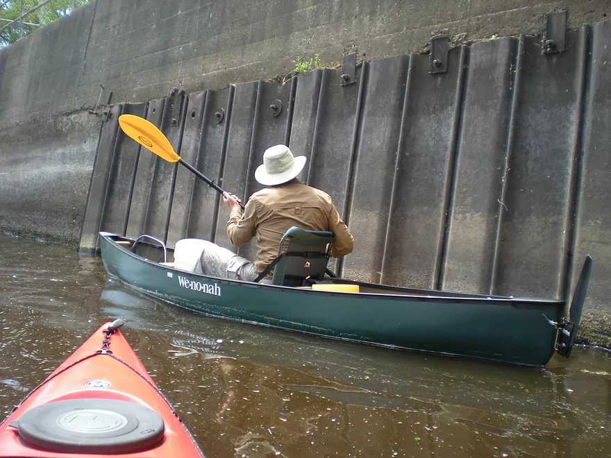
Getting close to the dam
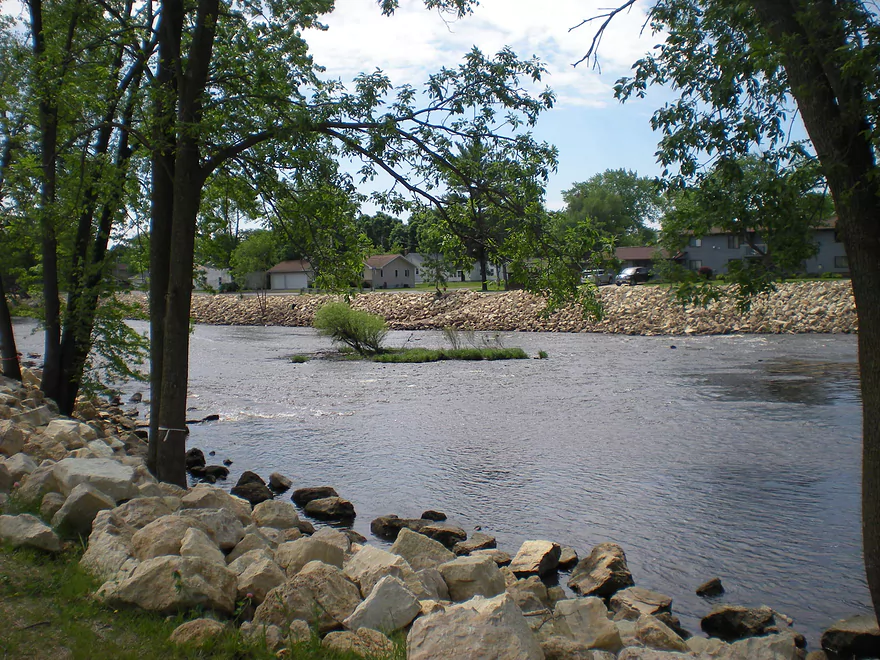
Some of the only rapids on the Lemonweir
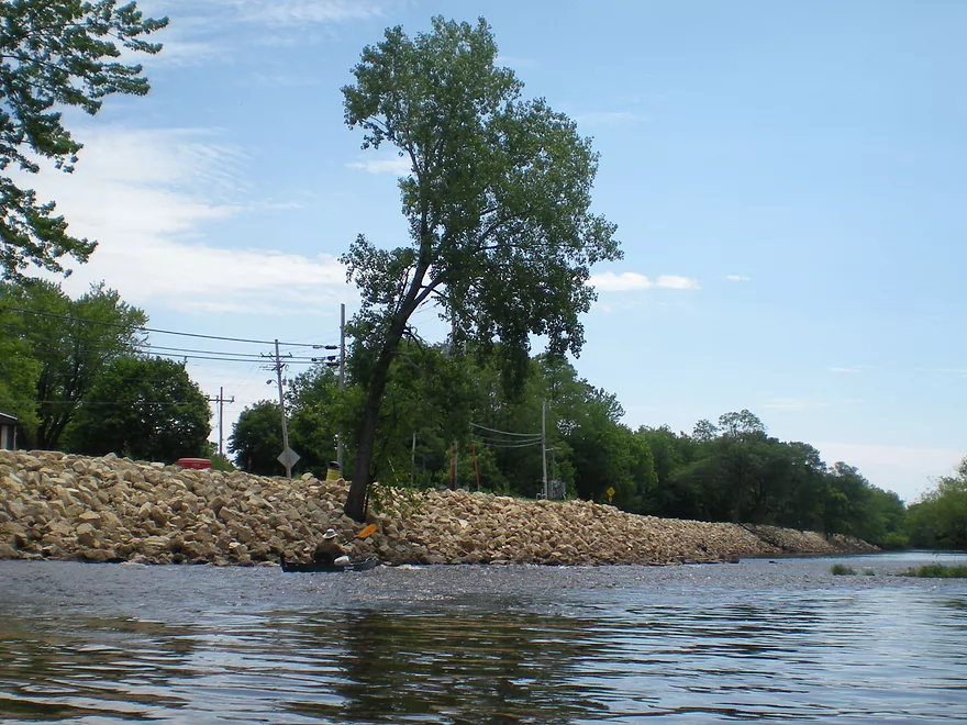
Pretty fun
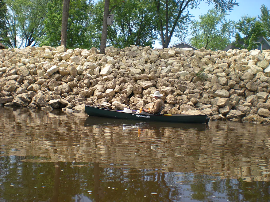
Large rock retaining wall in Mauston…likely for flood protection
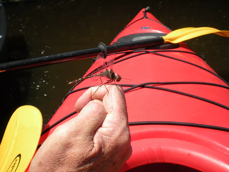
Lot of dragonflies on the river
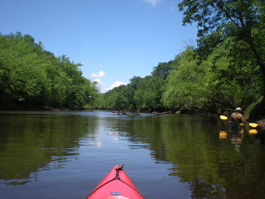
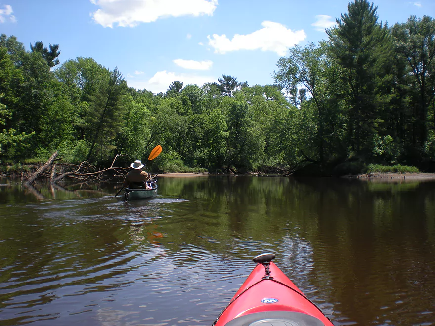
This section of the Lemonweir was very wooded
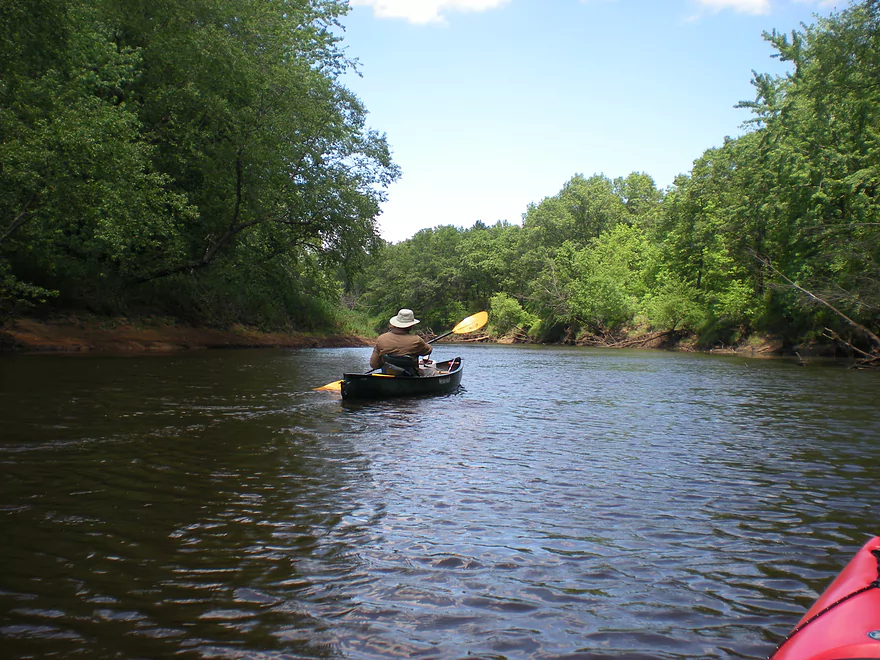
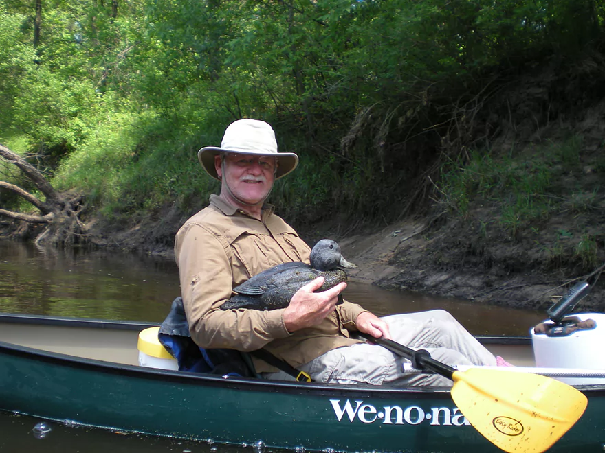
Finding a friend
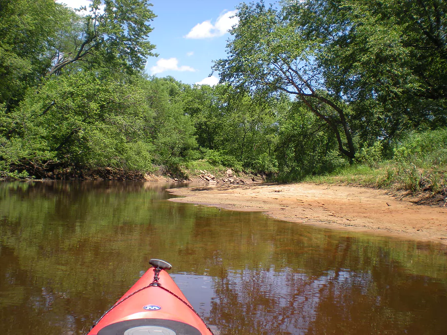
Lot of sandbars
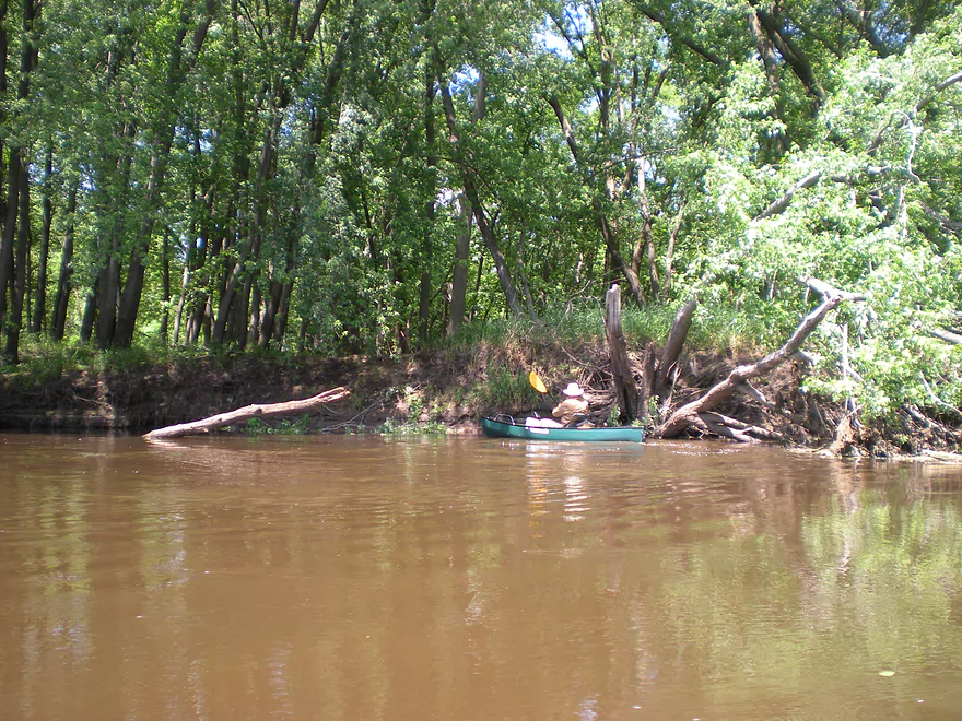
Some downed trees, but they were never an issue
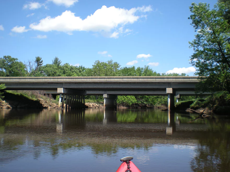
Paddling under the interstate
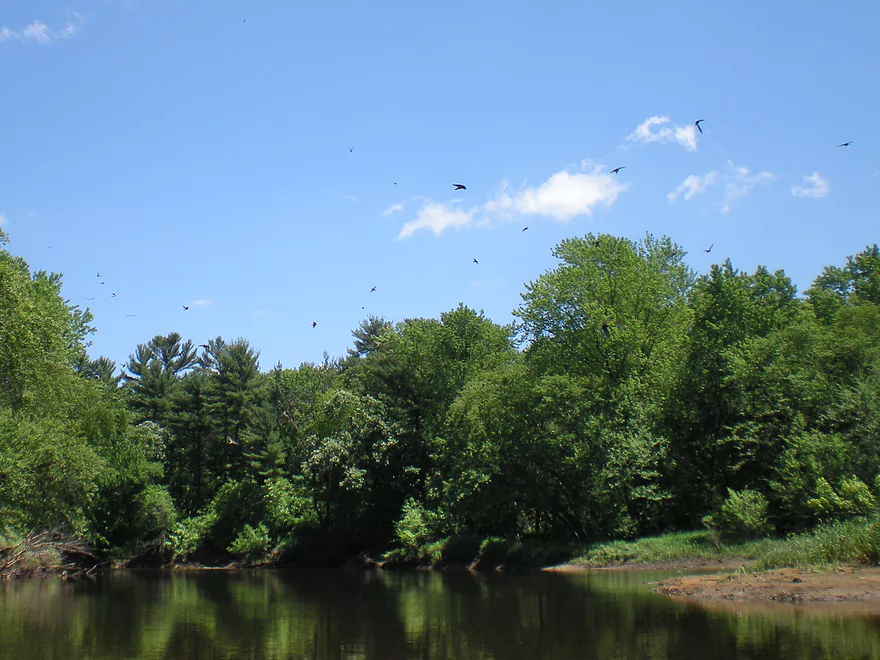
A huge flock of cliff swallows
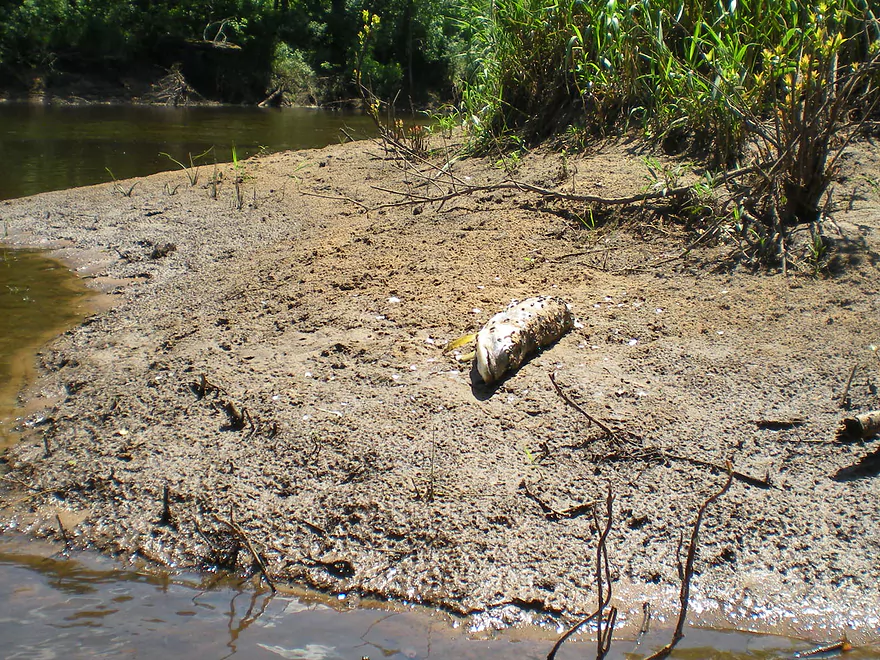
Looks like a muskie
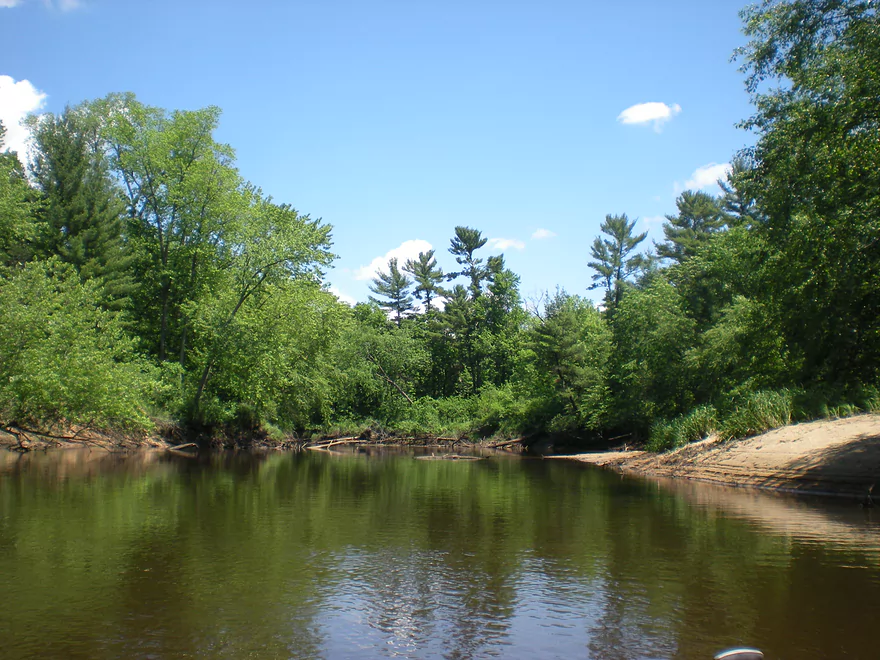
Some pines on this stretch
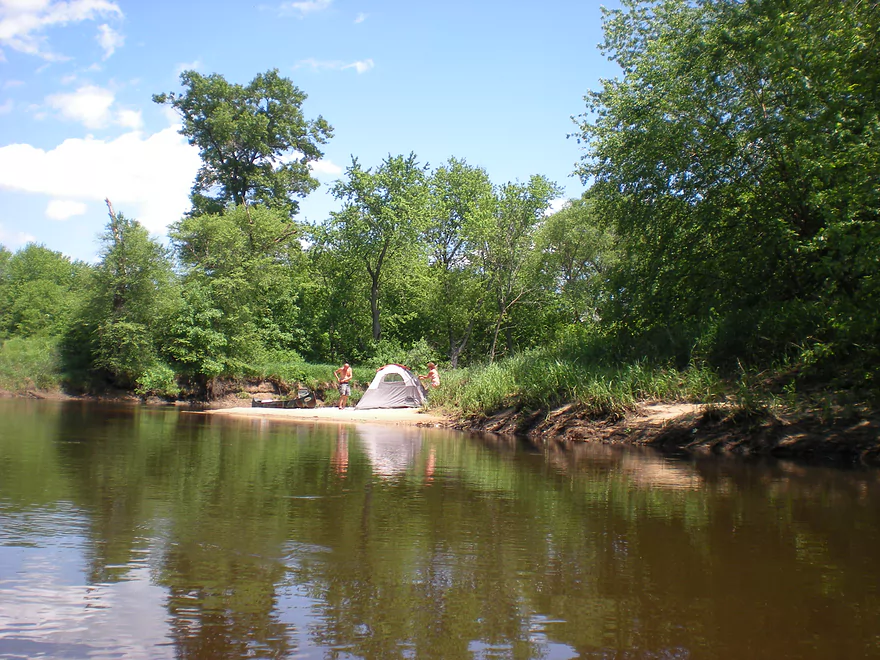
During shallow water levels, camping is an option
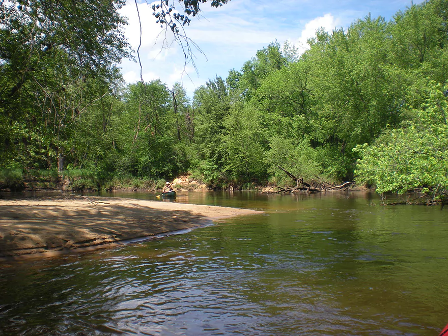
Very sandy river
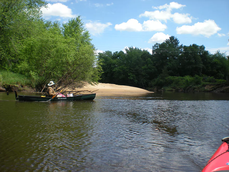
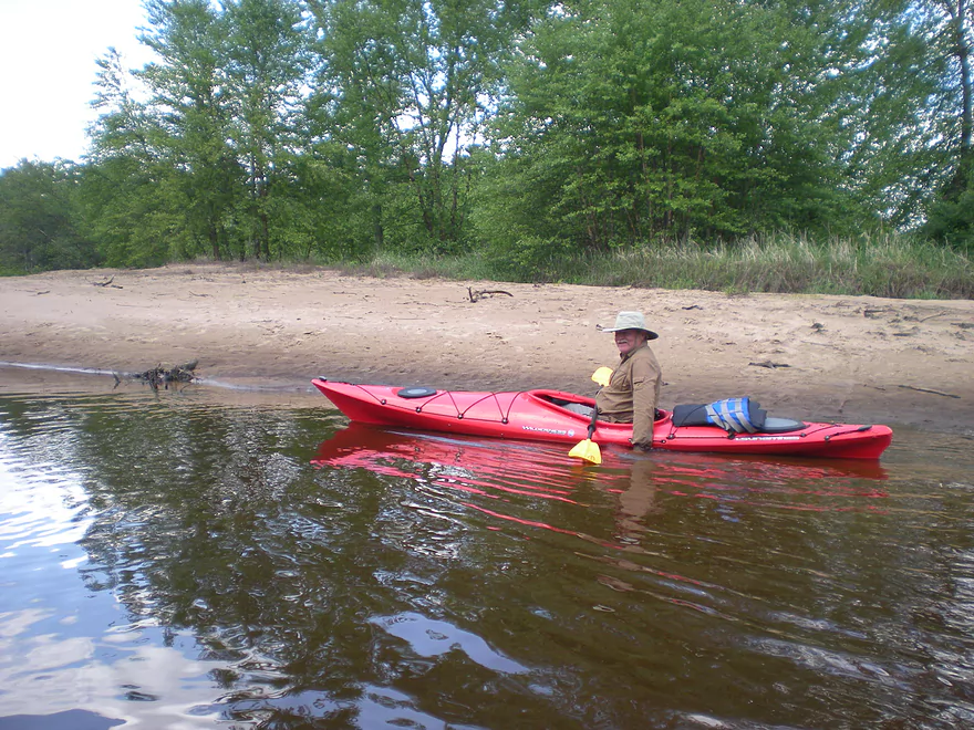
Time to switch boats
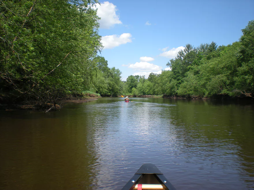
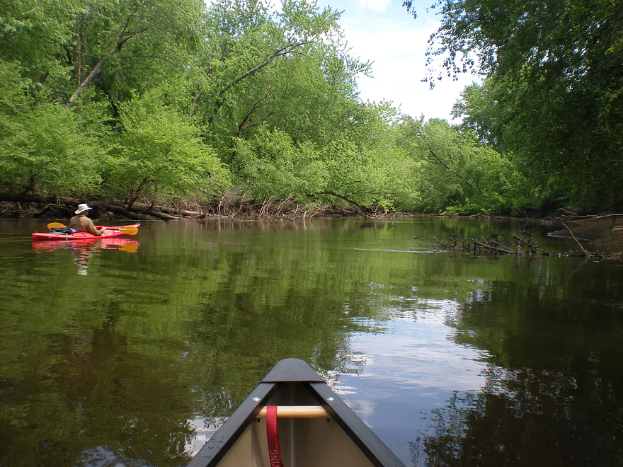
Beat up shoreline from many floods
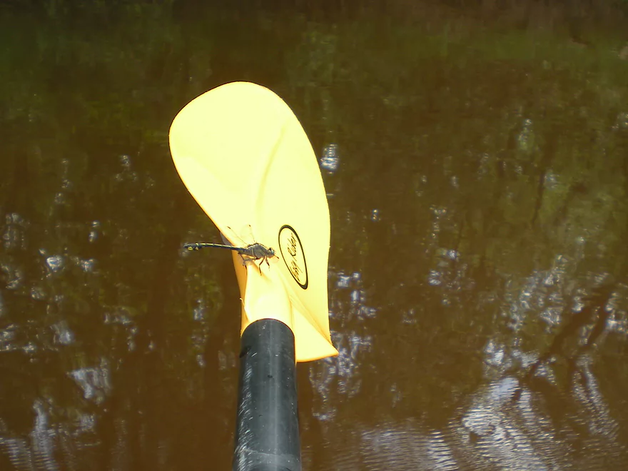
Friendly dragonfly
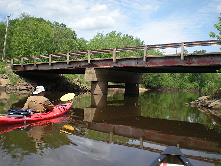
19th Ave
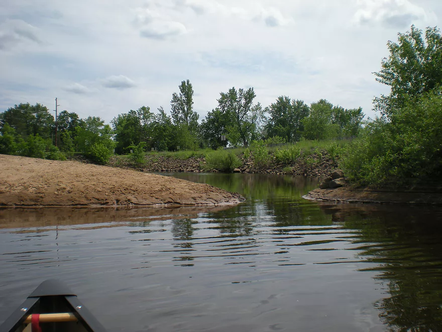
Coming up on a hidden bay
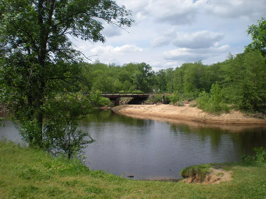
You do need to paddle into the bay to reach the take-out
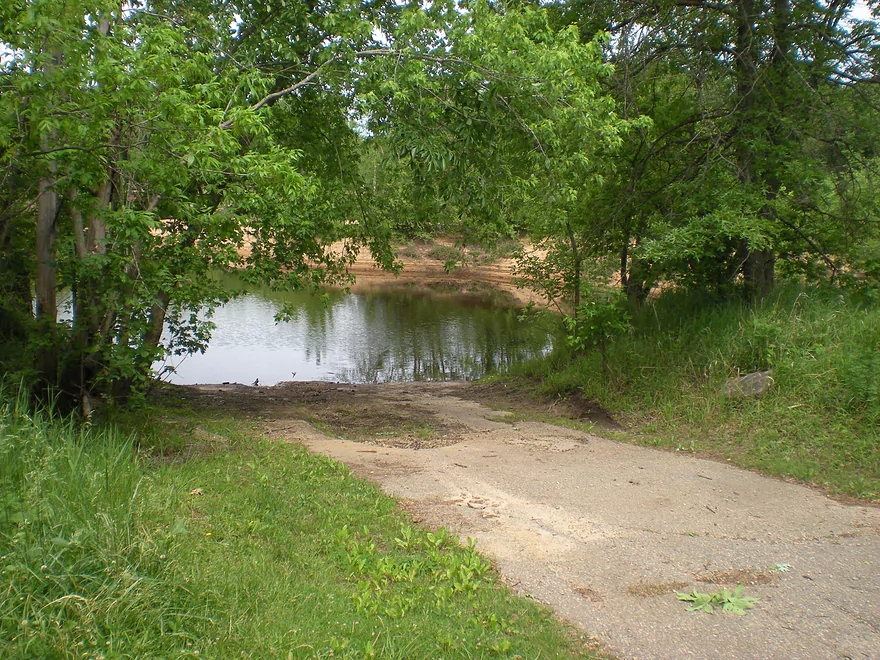
Good take-out ramp


Lemonweir River – Mauston


This is probably not one of the more well known rivers, but it is very nice never-the-less. It empties into the Wisconsin River just north of the Dells rock formations. The upper sections are absolutely not as popular as the lower sections. Mike Svob does review one such section north of New Lisbon, but it is brief and he advises that surrounding sections have a lot of log jams. Below the New Lisbon Dam, there is a section that runs through to Mauston, but it is a long stretch with no bridges. While I haven’t paddled this section yet, there is supposedly a nice rock formation on the river on the stretch between New Lisbon and Mauston. The locals are trying to promote the upper Lemonweir (even distributing brochures to Rutabaga) which may be a good sign that it is not as log jammed as Svob suggested.
Below the Mauston Dam and to the Wisconsin River there are no real log jams (although there are squeakers) and this section is quite popular with kayakers. There are roughly three sections you can do downstream from the dam: roughly a 5 mile section, a 10 mile section, and then another 5 mile section to the Wisconsin River. You can, of course, combine sections or even camp on the sandbars (quite popular, as while the sandbars are not elaborate…they are adequate for camping). I’ve done the first and third sections. I’ll review the first section below and review the third section at a later time.
The first section has a decent put-in downstream from the dam in Mauston and on the north side of the river. No bathrooms but good parking. You’ll hit riffles right away (nothing serious) which is about all you’ll see for the entire river. I did see evidence of a shuttle/rental service, so while I don’t know of any names off the top of my head, I’m sure if you require these services, they are available. While again…the river is not spectacular, it is still very nice. While there are rock formation up and downstream of this segment, there are none on this leg. Current isn’t that strong and the banks are mostly woods. On the downside, when I went, there were a LOT of mosquitoes. I highly recommend either protective clothing or DEET free repellent such as the lemon eucalyptus brand that is supposedly quite effective now. There were a lot of dragonflies on the river munching on the mosquitoes and, in fact, liked to hang around us because they knew we attracted the mosquitoes. About halfway into the trip, there will be a fork around a massive island. I believe you can go both ways…we went the north route with the main channel. This island on both the upstream and downstream side is a good spot for camping because of the sandbars.
The take-out is a landing on the 19th Ave. bridge, which appears to be a former dam. It is very nice, scenic, but does not have any bathrooms (although it does have one of the highest concentrations of mosquitoes I’ve ever experienced). If it wasn’t for these pests, this would be a much higher rated segment. No doubt this might have been a timing problem on my end, and others wouldn’t face the same plagues we did, so don’t let this scare you away.
Detailed Overview
Lemonweir River - Main Branch:
- East/South Fork Confluence to Cty PP: 1.0 miles. Likely around 3 logjams.
- Cty PP to Funnel Road: 2.0 miles. Very straight channel with roughly 6 logjams.
- Funnel Road to 2nd Ave: 1.2 miles. Highly channelized and straight with about 3 logjams.
- 2nd Ave to Cty H: 1.8 miles. Roughly 4 logjams. The channel can be poorly defined at times.
- Cty H to River Road: 2.3 miles. Expect 4-6 logjams and confusing side channels where navigation is a challenge.
- River Road to 6th Ave: 5.4 miles. Likely navigable, but expect a high volume of logjams.
- 6th Ave to 37th Street Landing: 4.4 miles. Occasionally paddled but contains several logjams.
- 37th Street Landing to New Lisbon: 6.6 miles. A long, slow stretch that feels more like a lake than a river. While somewhat monotonous, the rock outcroppings, white pines, and fall colors provide some redeeming beauty.
- New Lisbon Dam to Hwy 12/16 Shoulder: 7.9 miles. A promising prospect featuring a “Little Dells” rock outcrop, though hampered by about 6 logjams. The Hwy 12/16 shoulder is a speculative but potentially an access point.
- Hwy 12/16 Shoulder to Riverside Park in Mauston: 4.6 miles. Mostly slow, open paddling through river flowages.
- Mauston Dam to 19th Ave: 4.5 miles. One of the premier stretches on the river.
- 19th Ave to Cty HH: 13.1 miles. Less engaging with a noticeably slower current.
- Cty HH to the Mouth: 3.3 miles. An excellent section with beautiful rock outcrops that serve as a prelude to the Wisconsin Dells.
Lemonweir River - East Fork:
- Cty EW to Buckley Ave: 3.4 miles. Begins in cranberry bogs before transitioning into a sedge-lined creek and concluding with a spectacular corridor of towering white pines. Expect roughly five logjams, mostly near the end.
- Buckley Ave to Hwy 173: 4.7 miles. One of the most scenic and diverse stretches of the Lemonweir, featuring marshes, a lake, cranberry bogs, sandbars, and towering pines. A handful of easy-to-portage logjams are located near the end.
- Hwy 173 to Cooper Road/Dam:
- Hwy 173 to Dove Ave: 0.9 miles. A lovely, open leg with clear red water and numerous small sandbars. Includes one minor, easy portage.
- Dove Ave to Cooper Road: 2.4 miles. A mediocre stretch flanked by frac sand mines and cranberry bogs; much of the channel is ditched and straightened. The half mile below Dove Ave contains several logjams, some requiring difficult portages.
- Cooper Road to Backwater Bar Dam: 0.2 miles. A short but scenic flowage set against attractive pines. The dam is not a practical take-out due to trespassing restrictions and proximity to the spillway.
- Backwater Bar and Grill to Hwy 21: 0.5 miles. Likely congested with near-constant logjams.
- Hwy 21 to East/South Fork Confluence: 0.3 miles. Expect 2-3 logjams.
Lemonweir River - South Fork:
- Butts Park/Lake Tomah to Forbes Road: 4.5 miles.
- Butts Park to Lake Tomah Dam: 0.2 miles. A quick paddle across Lake Tomah to reach the spillway.
- Lake Tomah Dam to Memorial Park: 1.2 miles. A narrow, sandy stretch with a high number of downed trees.
- Memorial Park to Tomah Dog Park: 0.6 miles. Mostly pleasant and open, though one large logjam requires a very difficult portage.
- Tomah Dog Park to Forbes Road: 2.5 miles. The first half is heavily obstructed; the second half is more open but still requires two logjam portages.
- Forbes Road to County N: 6.9 miles.
- Forbes Road to Cty ET: 1.6 miles. A high-quality stretch with good clarity, a sandy bottom, and one manageable logjam portage.
- Cty ET to Cty N: 5.3 miles. Scenic and clear, passing through grasslands, frac sand mines, and a massive cranberry bog. Includes three logjam portages.
- County N to Excelsior Ave: 3.0 miles. Open through the golf course, but the wooded sections likely contain 6-8 logjams.
- Excelsior Ave to East/South Fork Confluence: 0.5 miles. Likely riddled with countless logjams.
Trip Map
View Lemonweir River in a larger map
Overview Map
Video
Photos Size:
How did your trip turn out? Questions or comments? Feel free to leave your feedback.
