
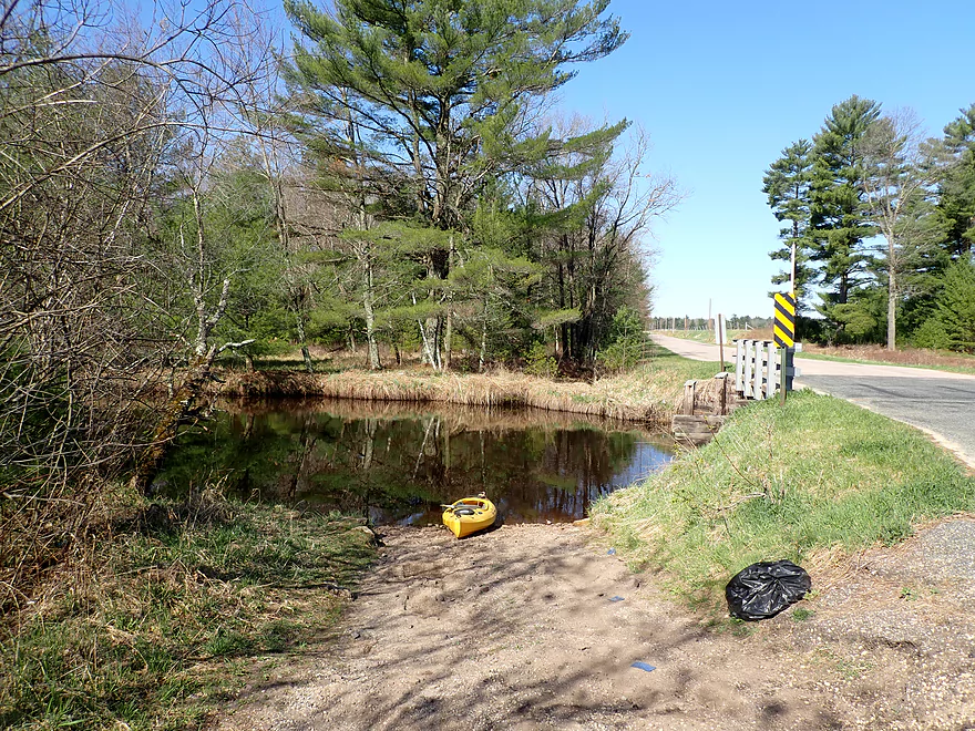
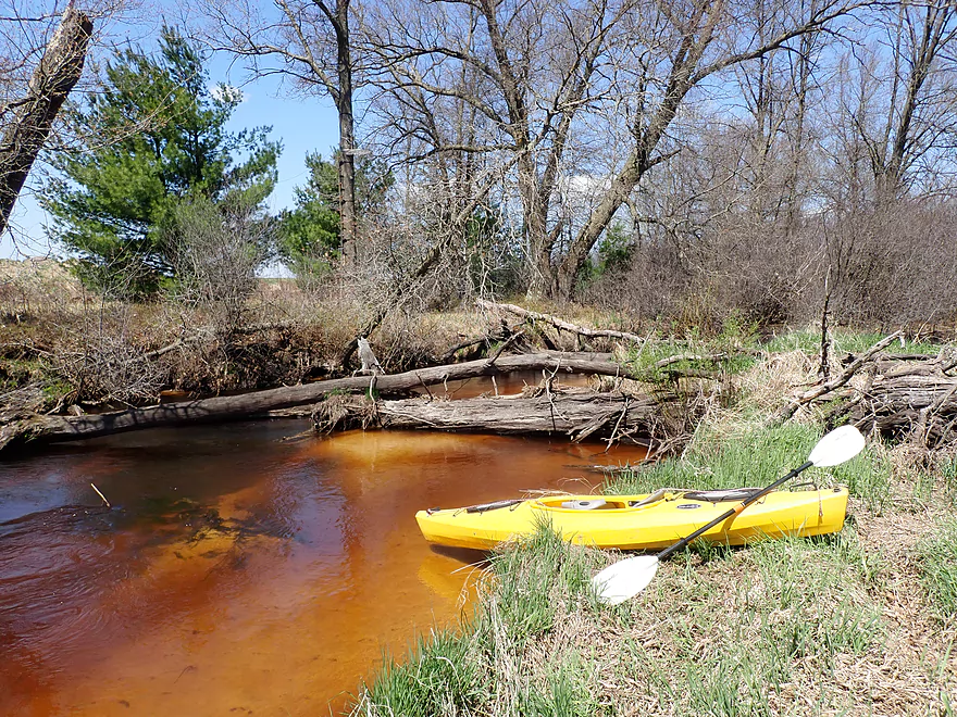
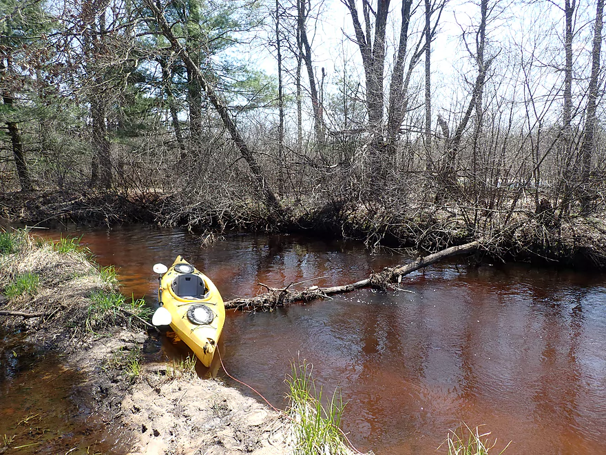
Starting the trip at Buckley Ave
Where there is a surprisingly nice launch
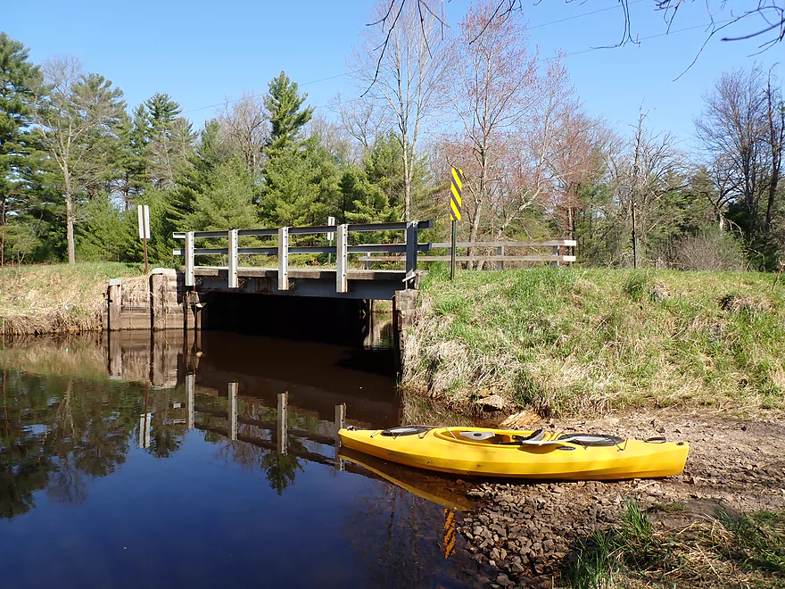
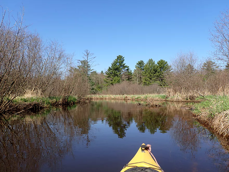
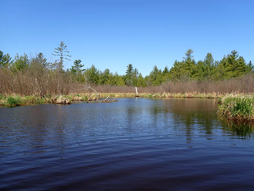
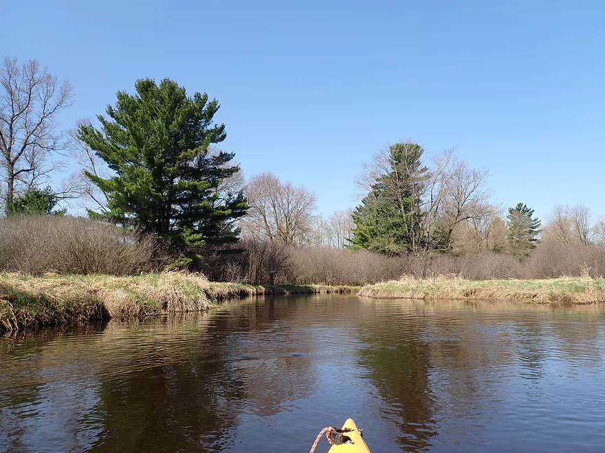
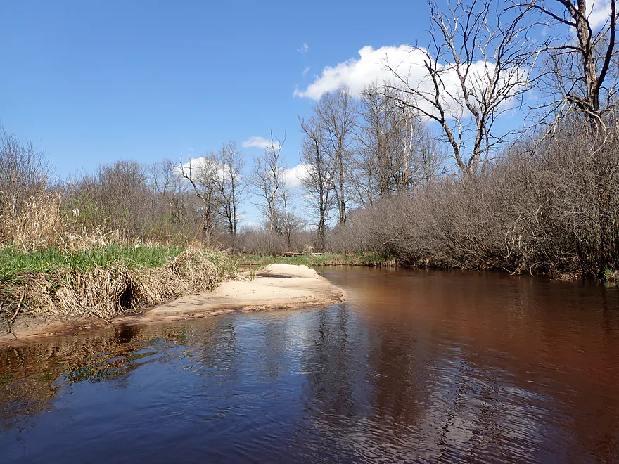
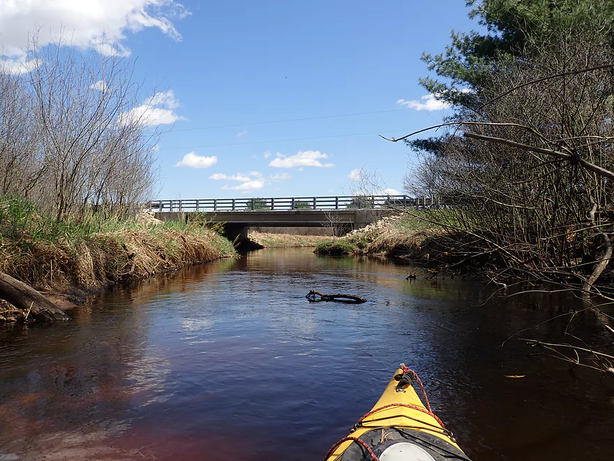
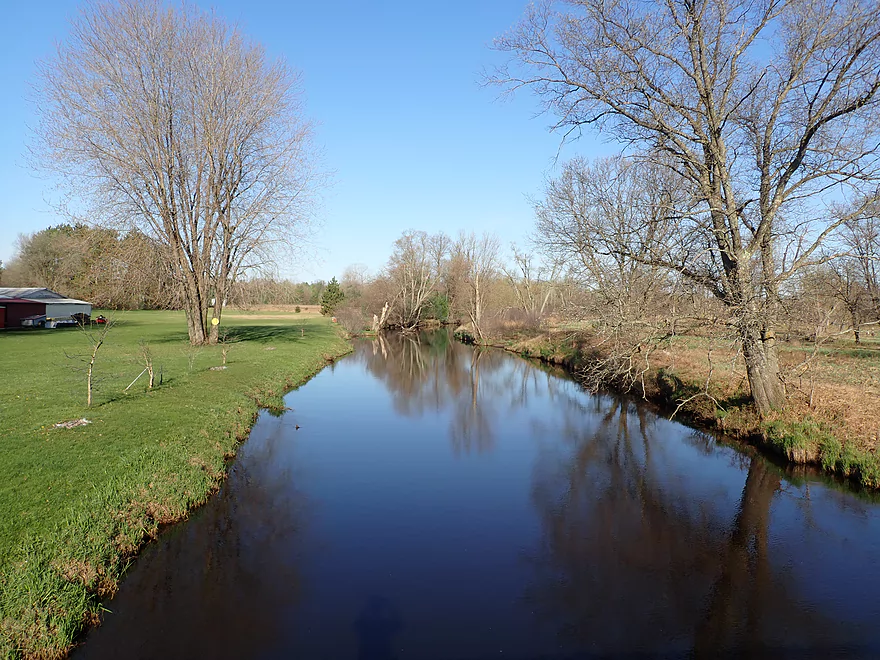
View from bridge
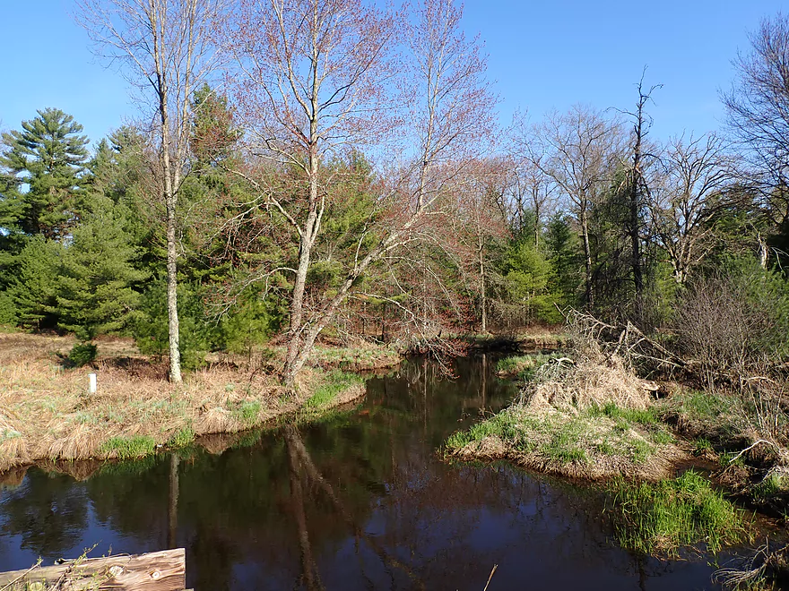
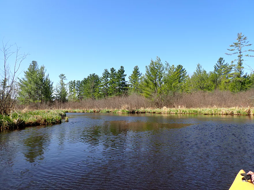
Heading upstream to explore
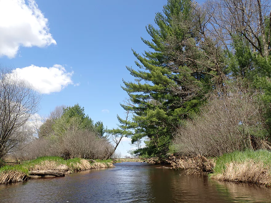
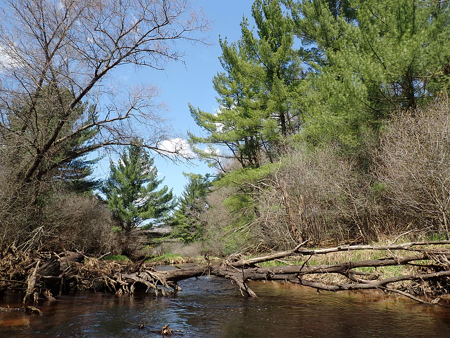
Lots of pines by Buckley Ave
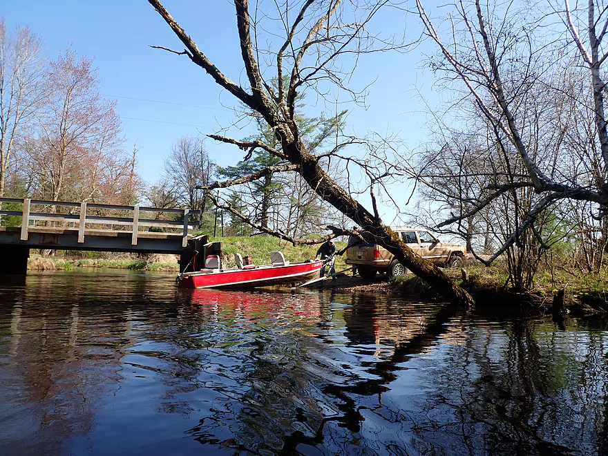
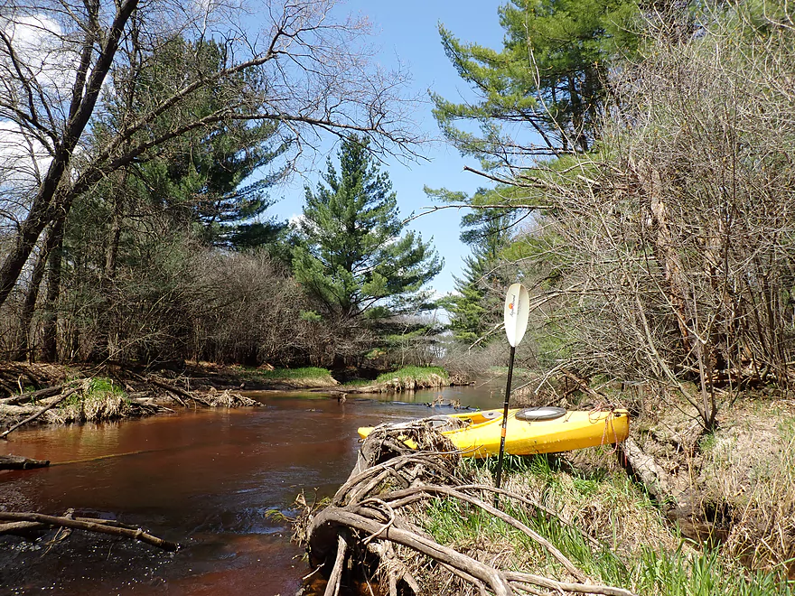
A motorboat taking out on this micro landing
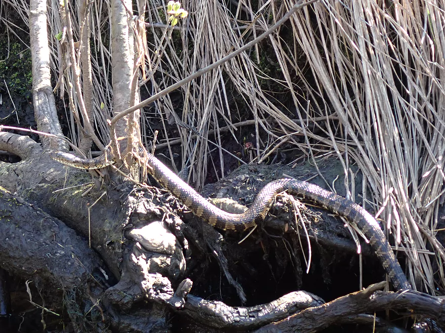
Northern Banded Water Snake
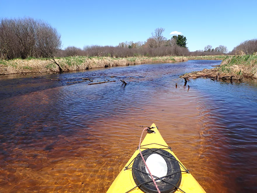
Slow current to start
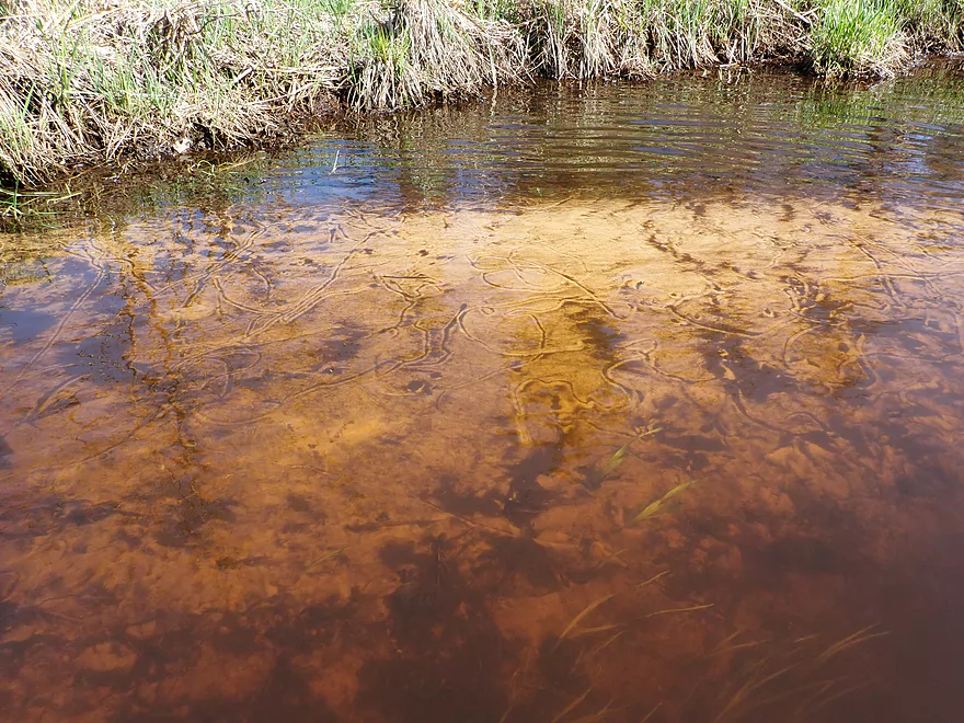
Clam trails
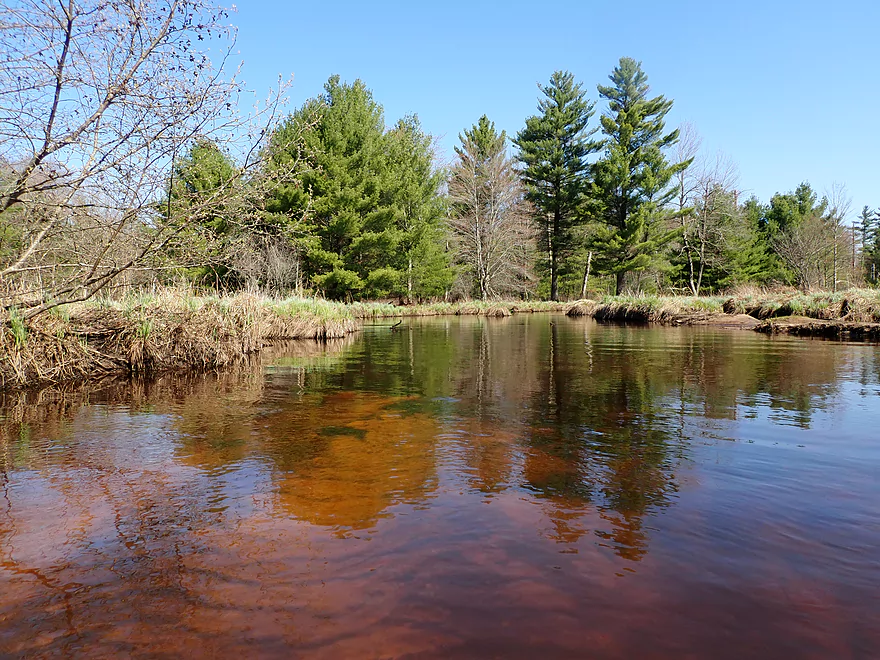
Reminds me of the Manitowish River
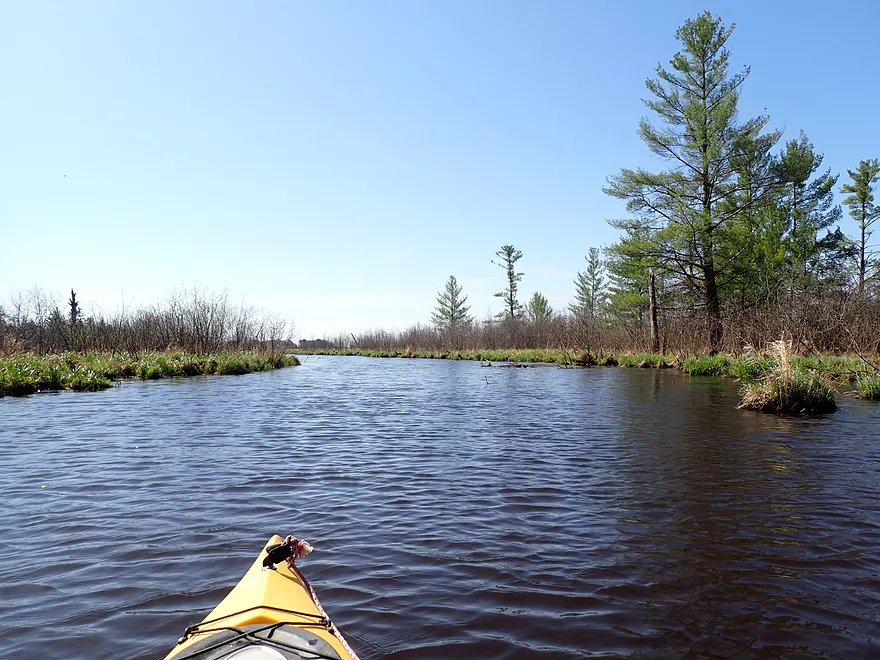
A tight fit for powerboats
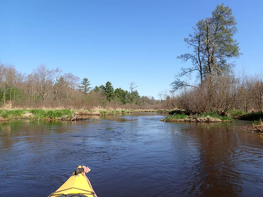
River starts to widen
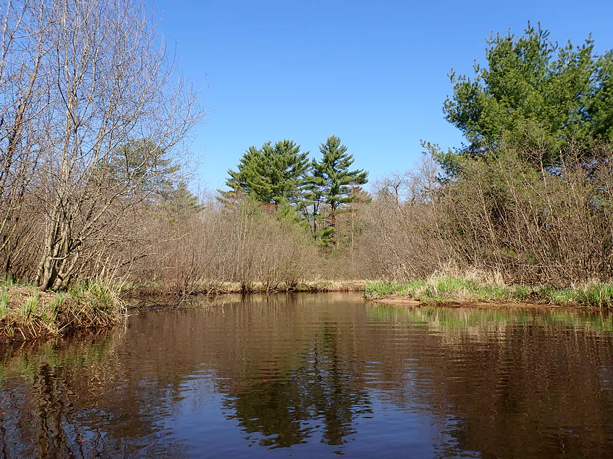
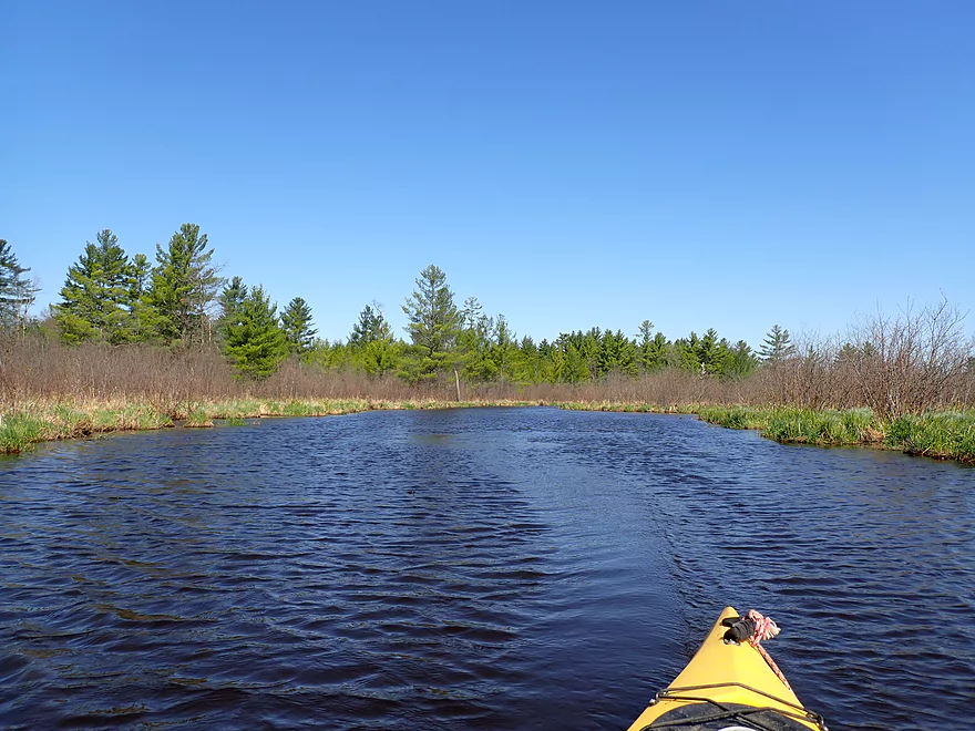
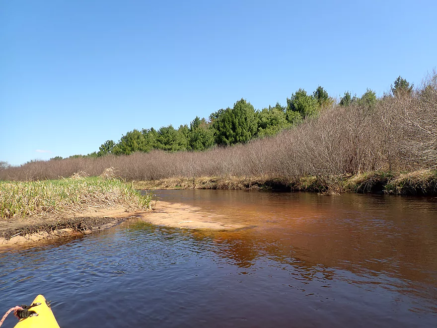
Lots of scenic pines
This feels like an Up North paddle
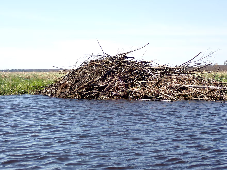
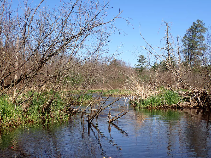
A huge beaver lodge
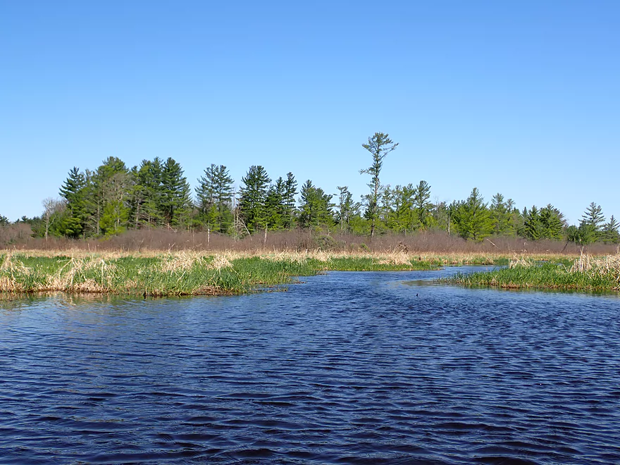
Leaving the creek behind
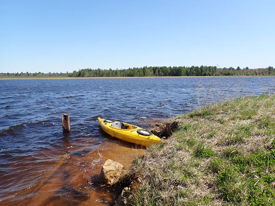
And entering a large lake
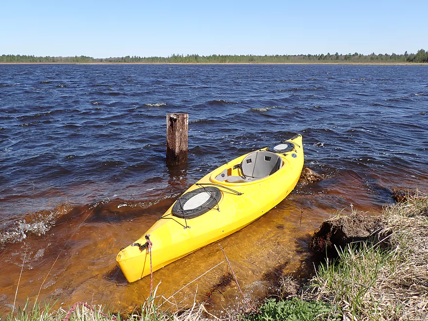
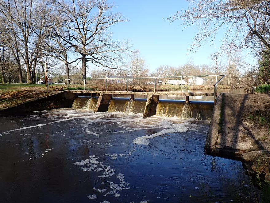
Taking out by the dam
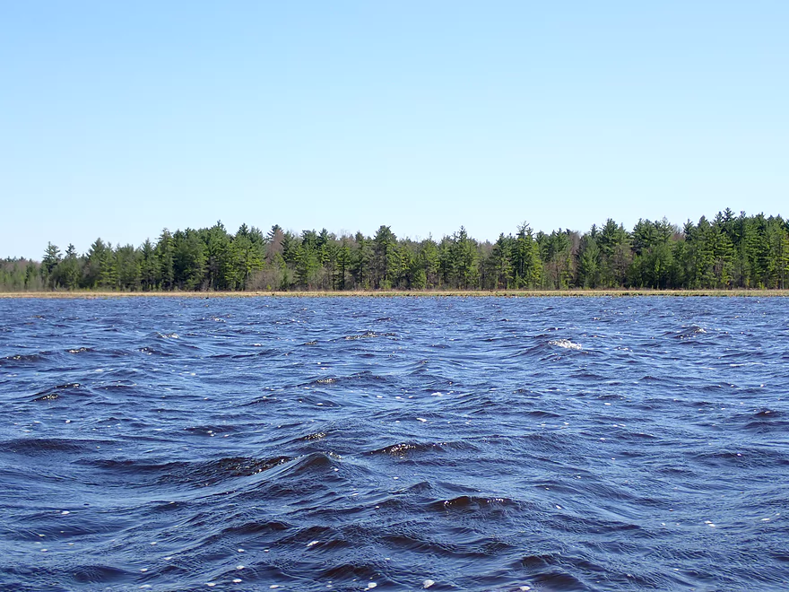
Nice view of the lake
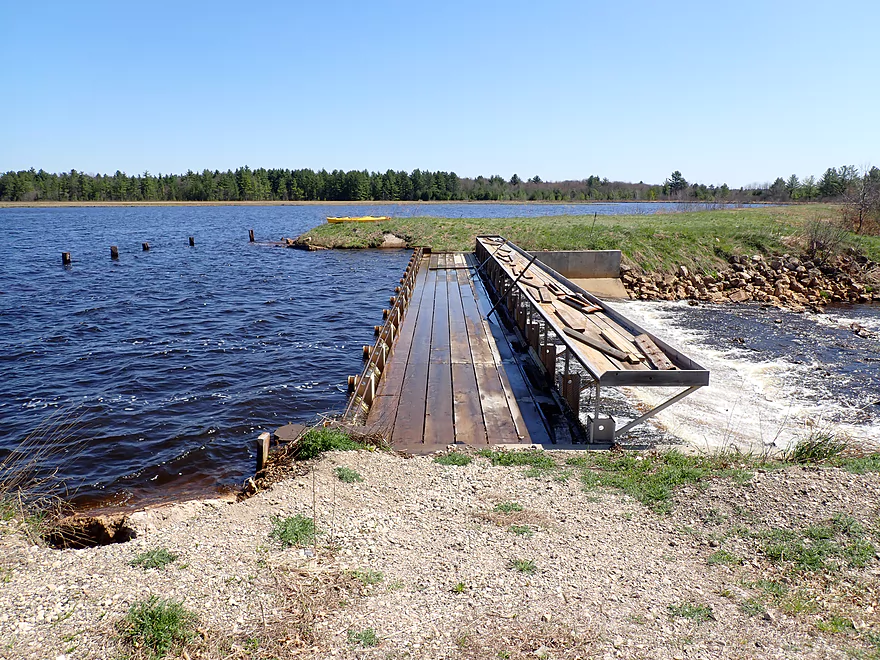
The wind was blowing the waves over the boardwalk
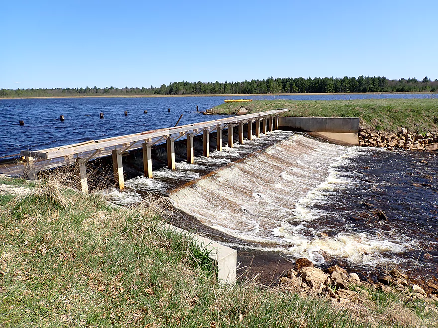
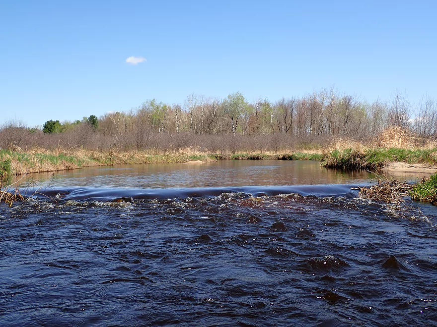
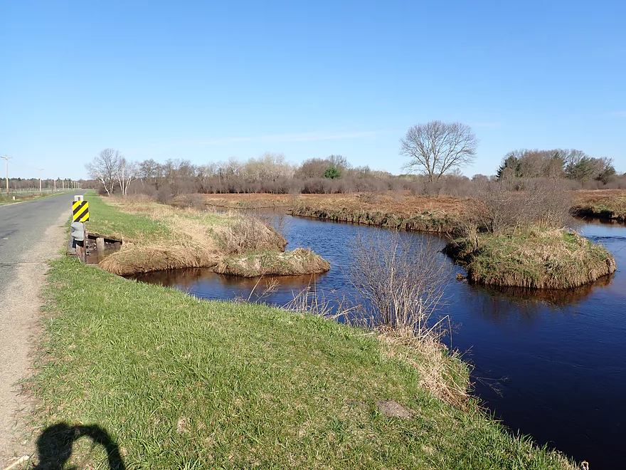
Reverse view of dam
Great portage re-entry spot
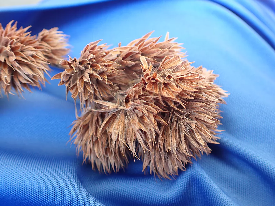
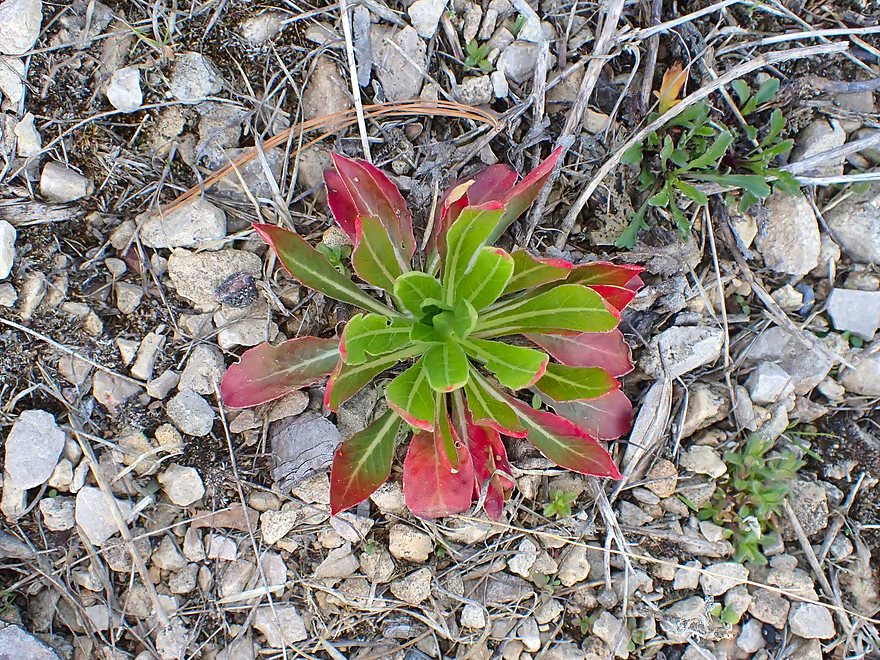
Bush Clover
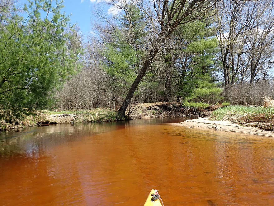
Finally paddling a non-dammed section of river
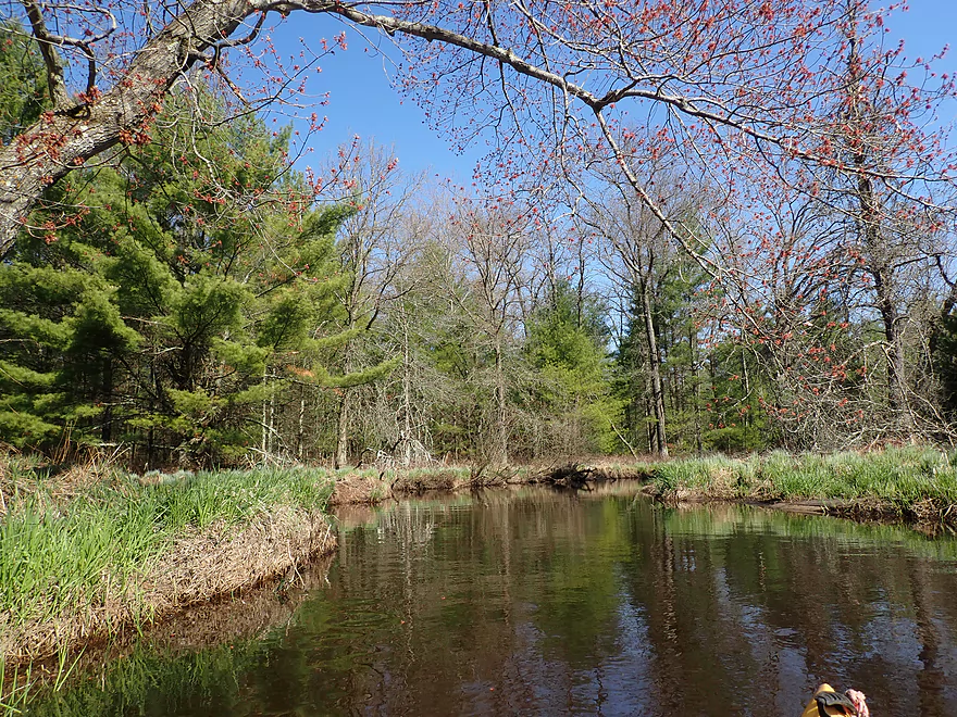
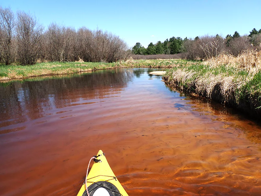
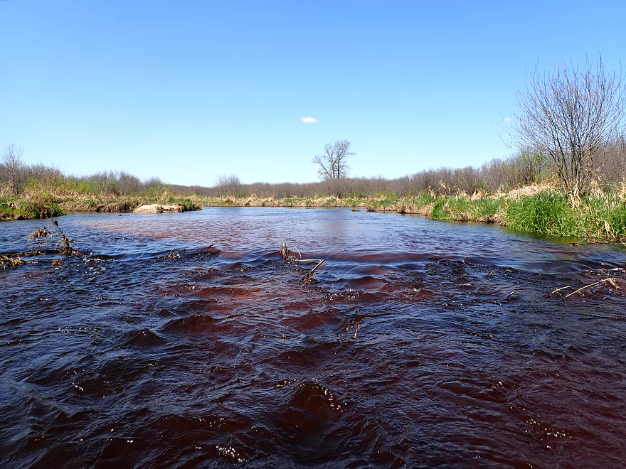
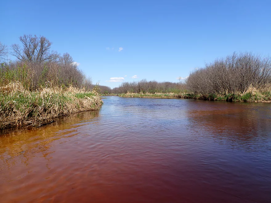
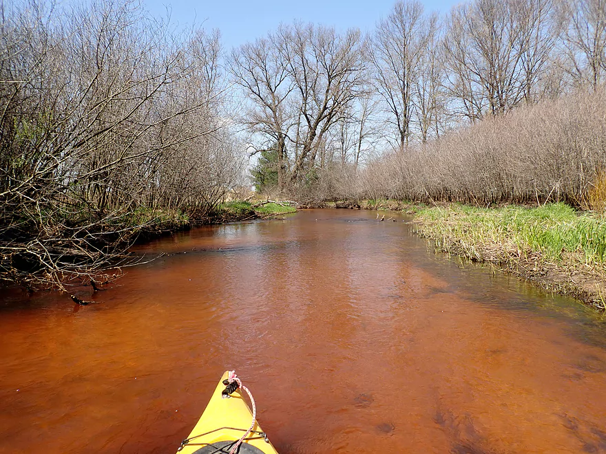
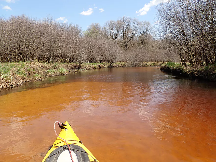
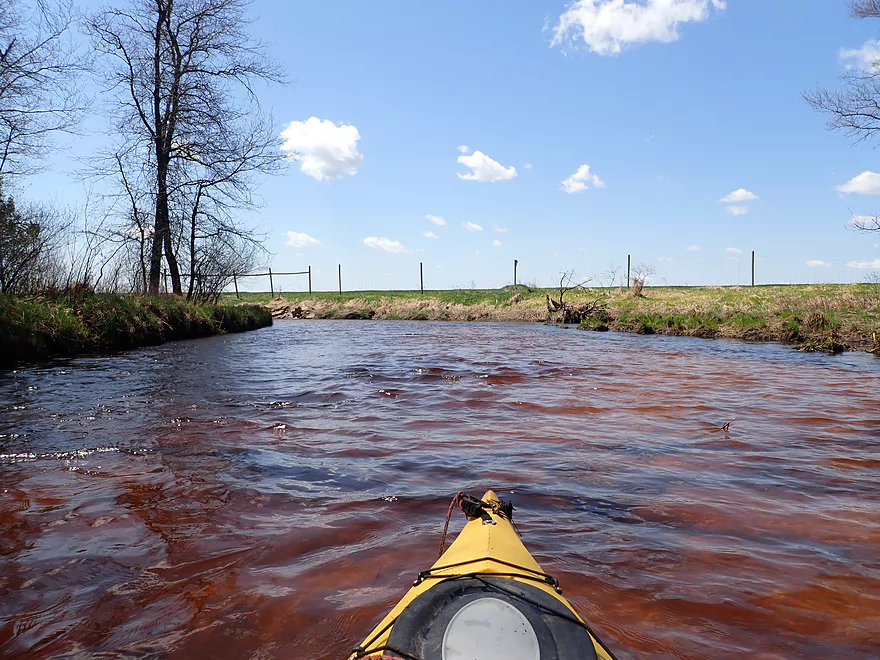
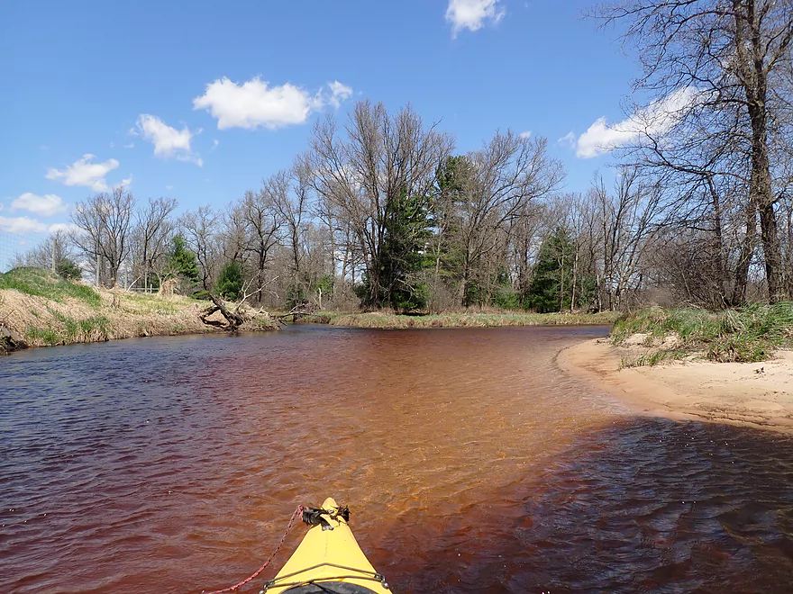
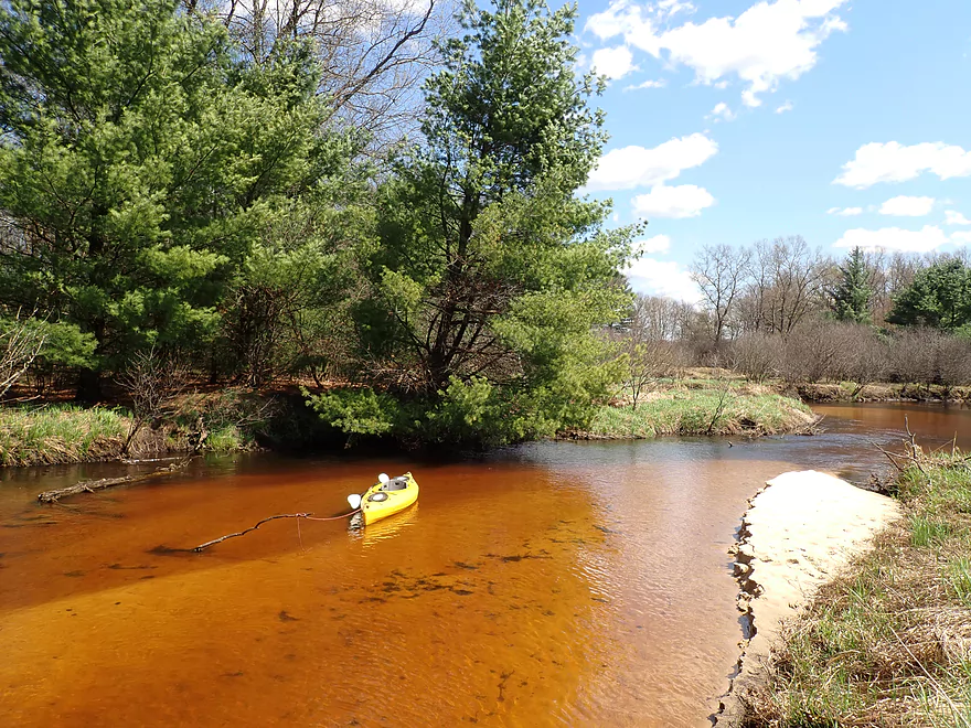
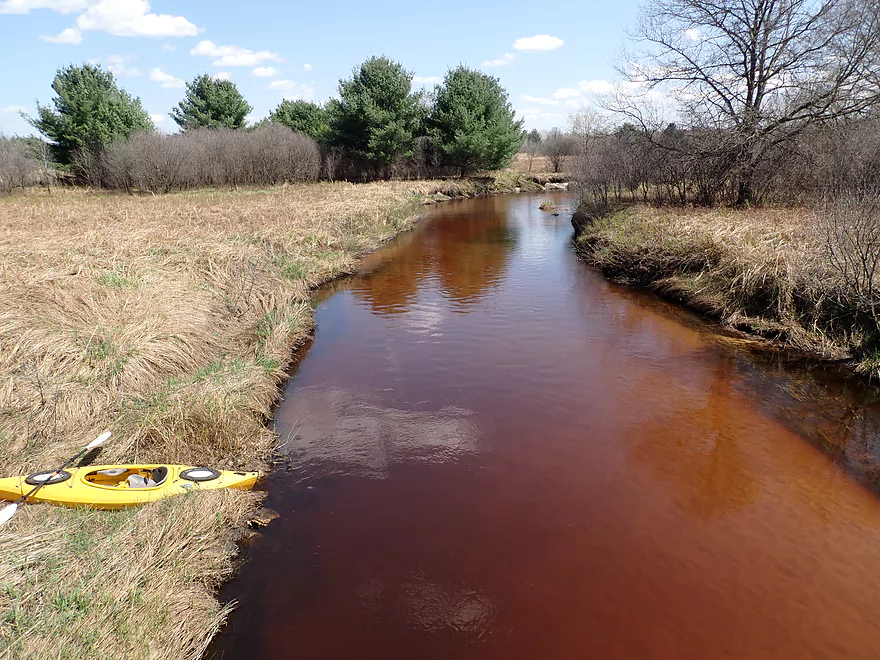
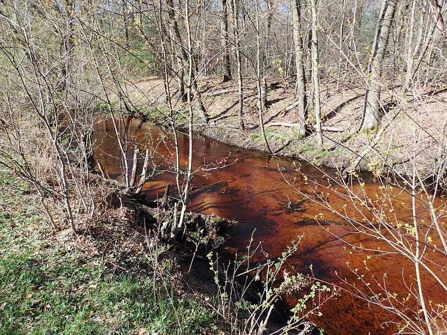
Great color
Lots of alders and pines
This really reminded me of Lower Robinson Creek (minus the outcrops)
Several minor riffles…no rapids

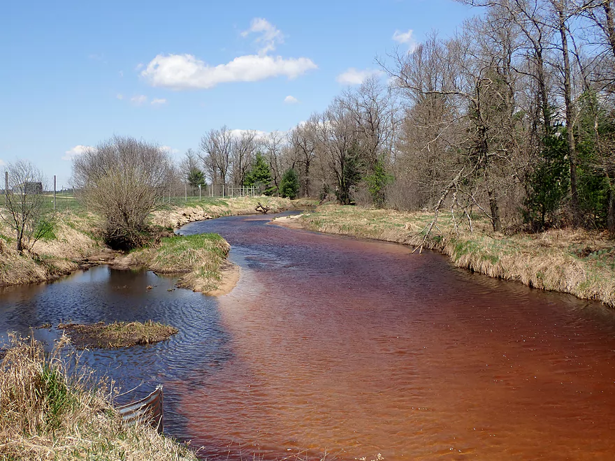
Neat contrast between the blues and the reds
Almost looks like a washed-out beaver dam
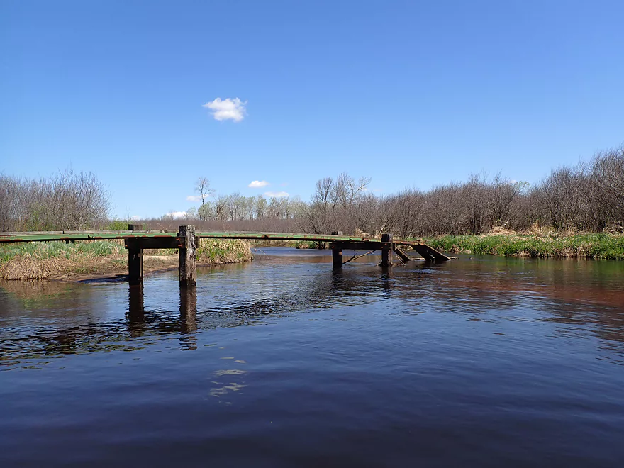
A washed-out human bridge
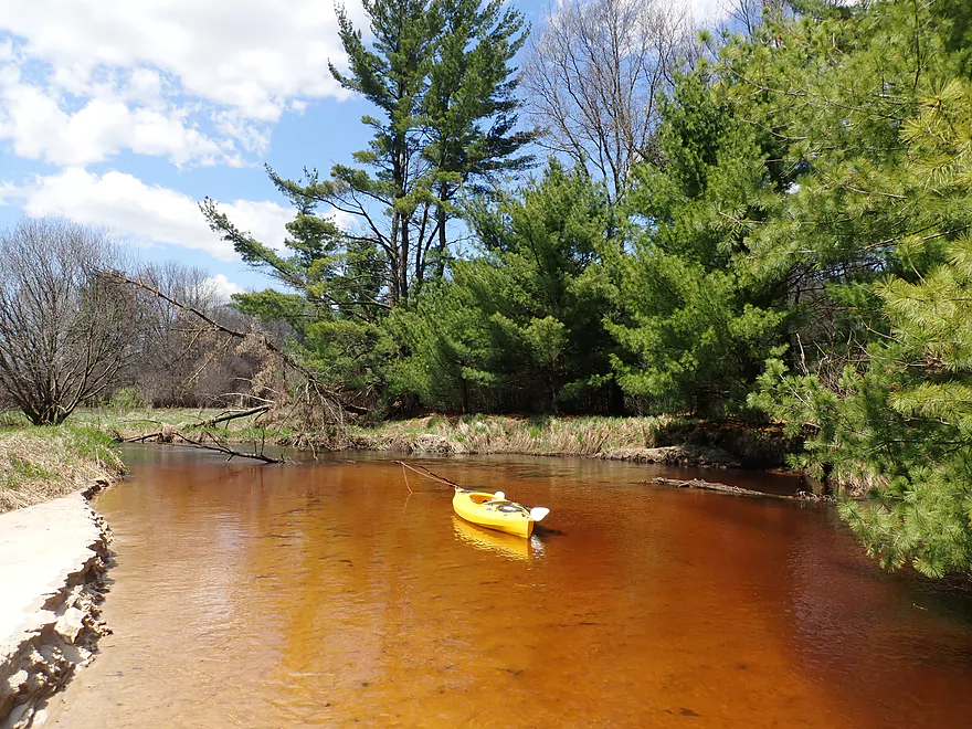
Nice stretch
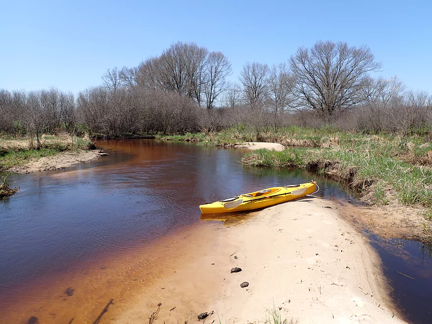
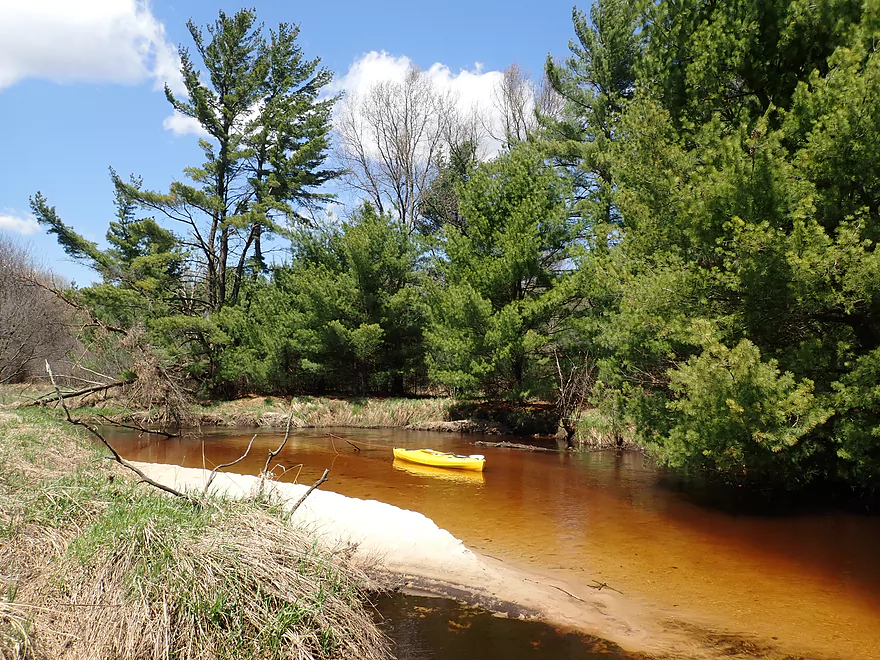
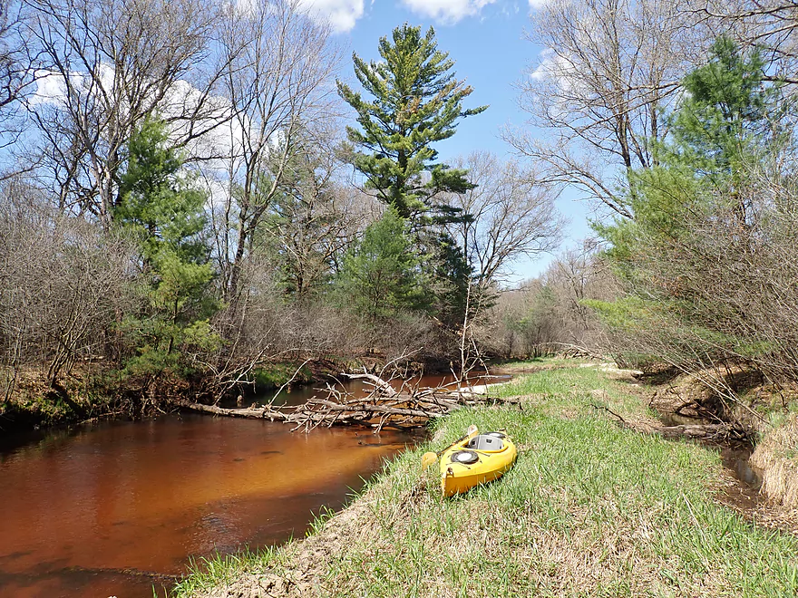
Taking a sandbar break
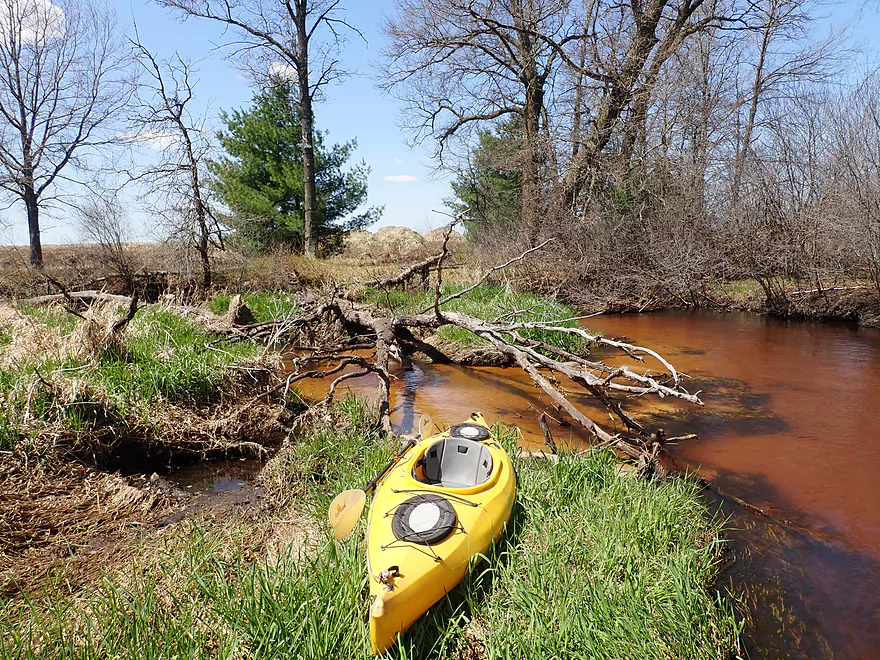
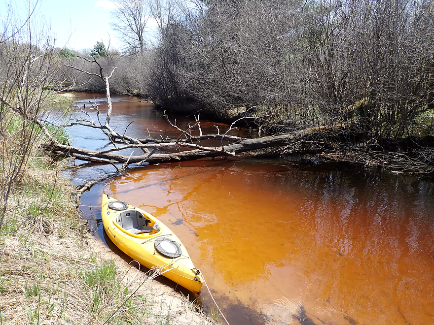
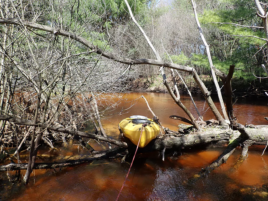
First logjam
Easy portage
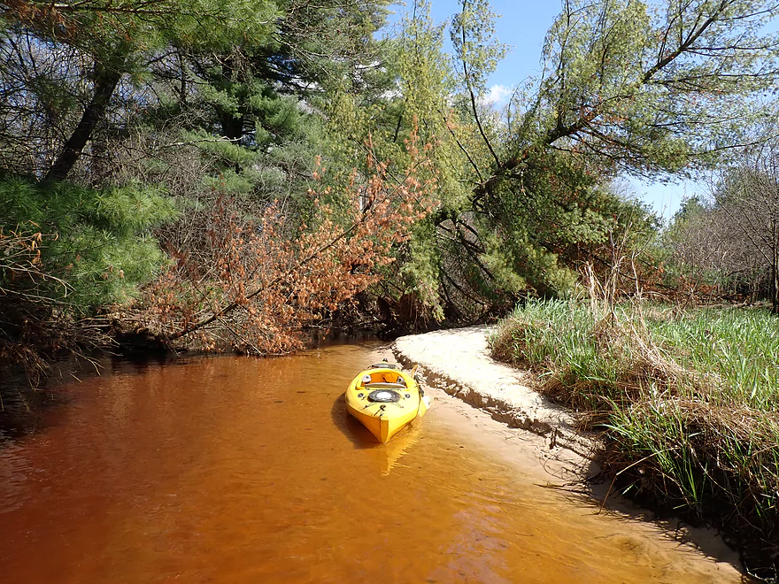
Starting to see more sandbars
Logjam #2 (easy portage)
Good clarity
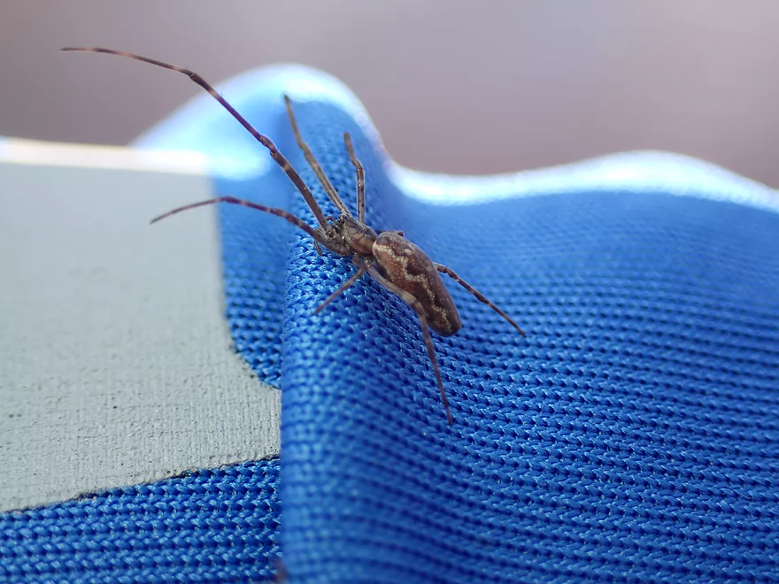
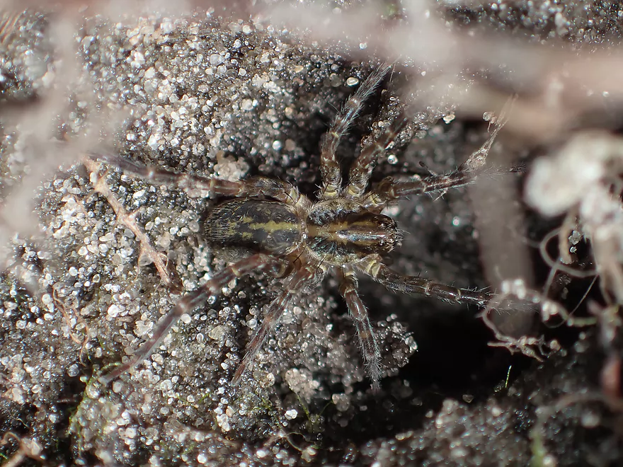
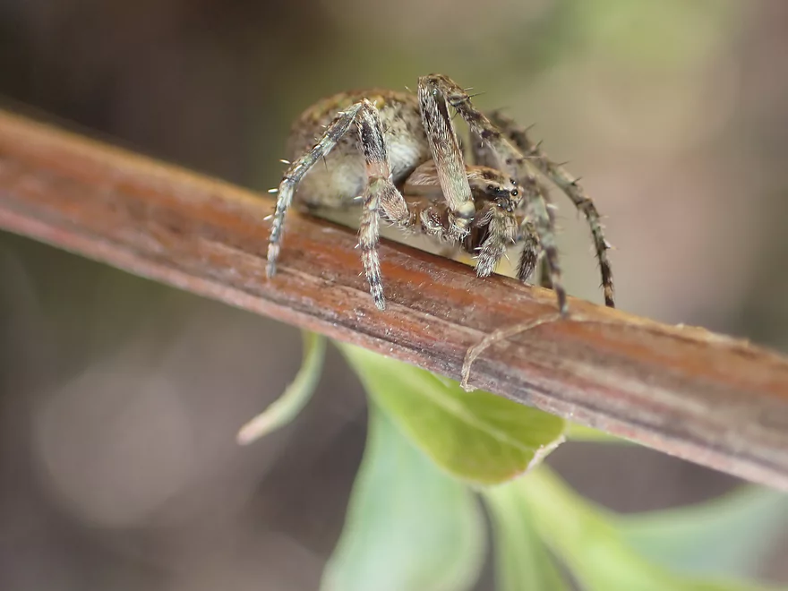
Friendly spider
Logjam #3 (easy portage)
River starts to change
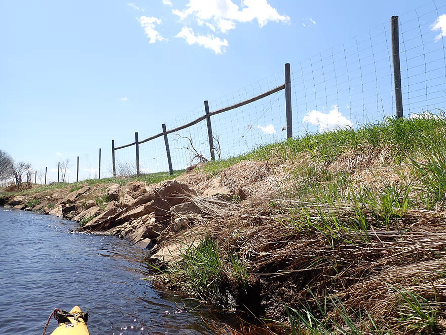
Fence marks the start of the cranberry fields
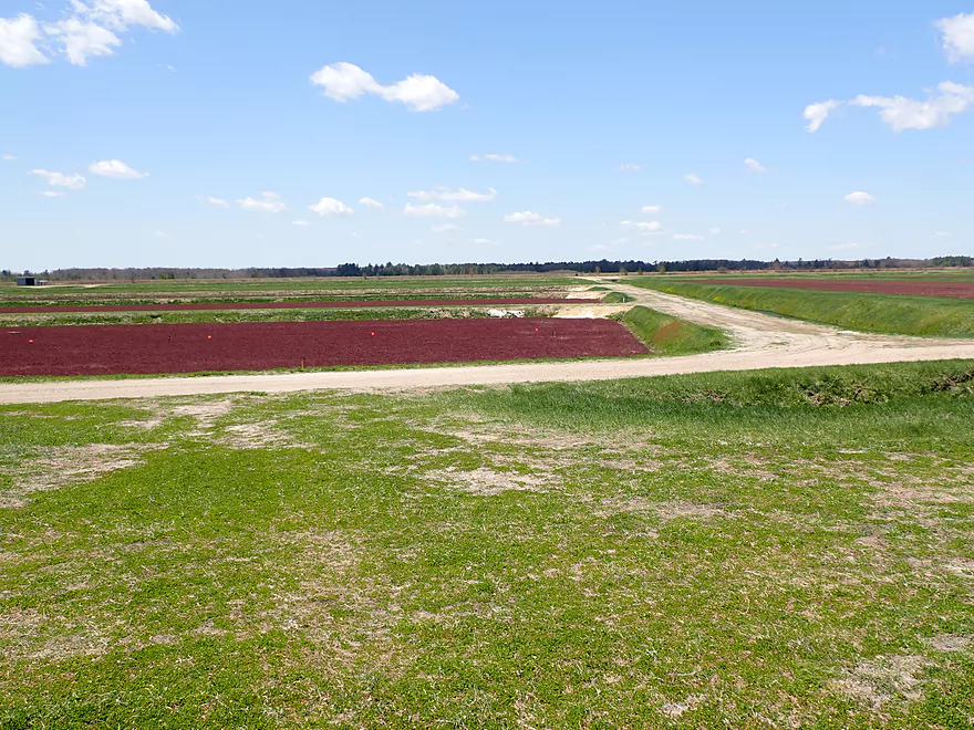
Large fields of cranberries on the other side
Red = shallow; blue = deep
The next mile is much more wooded
And more scenic
Logjam portage #4…bit trickier but not bad
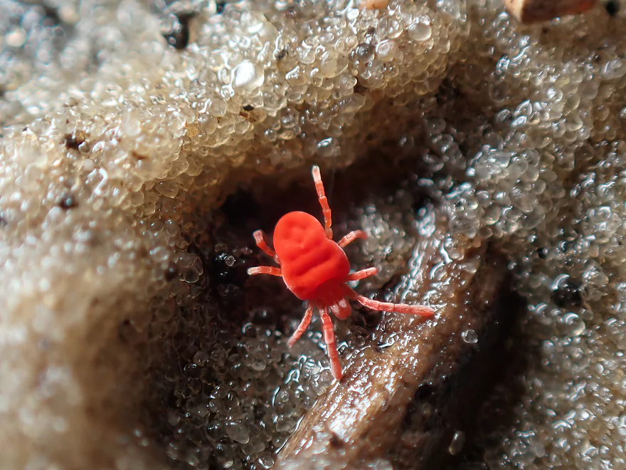
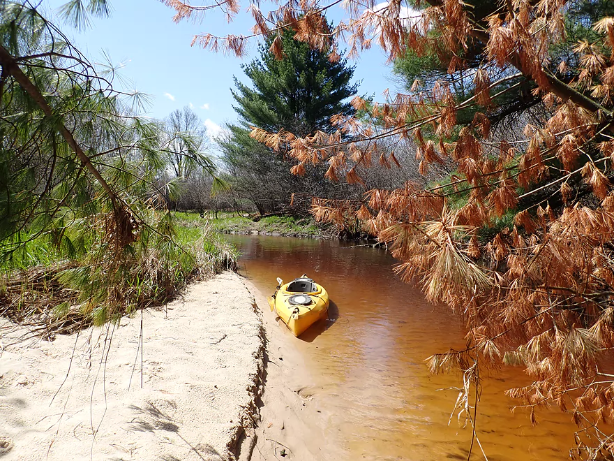
A red velvet mite
A baby fishing spider
Reverse view of portage #4
Logjam portage #5
Part of a larger pine forest
A long row of overhanging alders
A great river for spiders
Cool section
Reverse view
Logjam portage #6…easy
Logjam portage #7 is also easy
And scenic
Logjam #8…mediocre portage
Hwy 173
Downstream is a future trip idea
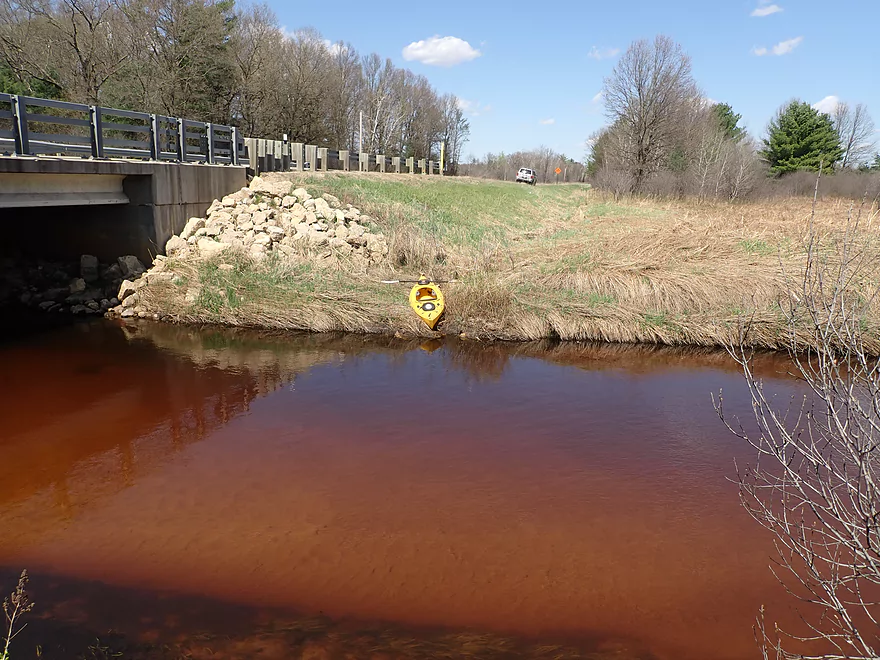
Not a bad take-out
Evening primrose
Scenic bike shuttle next to nearby Dead Creek
Scouting Dove Ave…good access
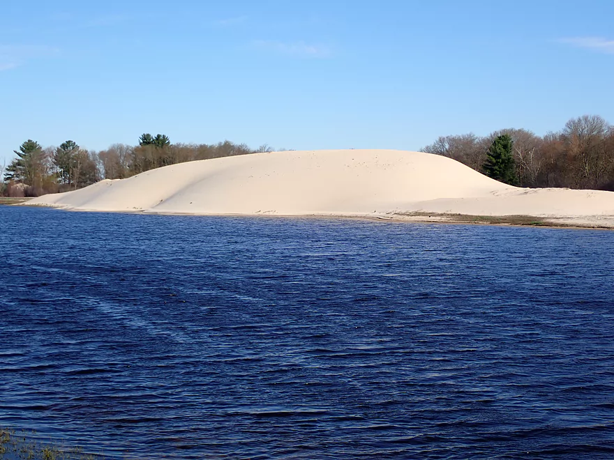
Huge frac sand piles nearby
Cooper Road looks nice but isn’t a good access
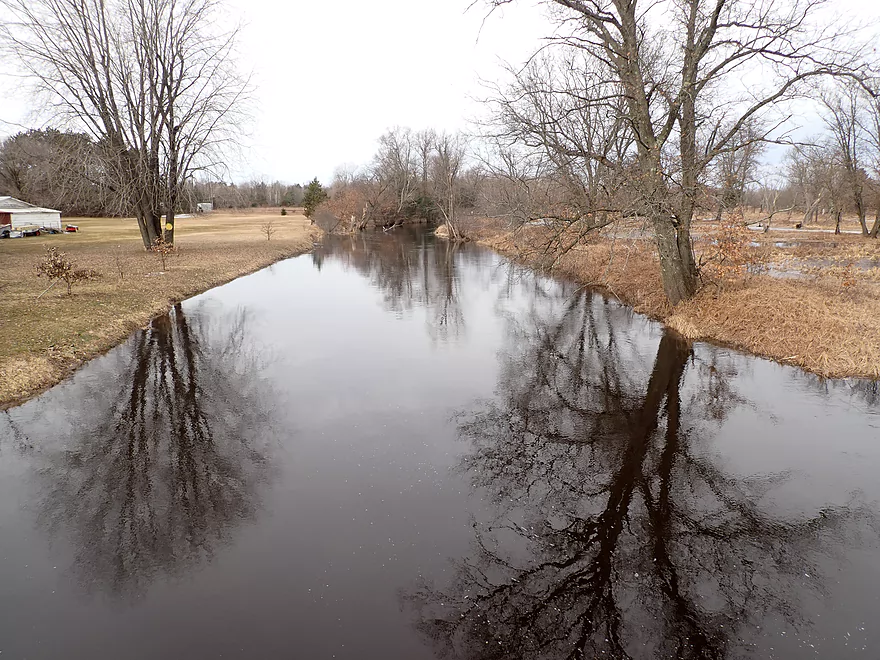
Same view (March 14, 1900 CFS)
The dam behind Backwater Bar and Grill–a great public launch option
Lemonweir River – East Fork


The Lemonweir River isn’t an elite paddling prospect but it does have some pleasant parts, with the stretch below Mauston being the most popular with paddlers. The river upstream of New Lisbon isn’t bad, but logjams are typically too much of a plague for most, and it sees little paddling traffic. Close to Tomah, the river splits into two branches that are relatively open and intriguing as possible water trails. At first glance this wouldn’t seem to be so as this part of the state is a bit scenically challenged. It’s been “borgified” by countless cranberry marshes and frac sand mines. Large drainage ditches connect numbered lakes hemmed in by long cranberry dikes, while huge sand piles loom on the horizon like a giant sandbox. But I scouted both branches in depth two months ago and liked what I saw. This is the first of what I hope will be a series of paddling reports on the Upper Lemonweir.
I started the trip at Buckley Ave where there was an unexpected boat launch in the ditch. This was surprising as this is a nondescript area and the river here is no more then a creek, which would be a tight fit for powerboats (although I did see one).
The area by Buckley Ave is very inviting, with many pines and great scenery. Following the bridge, the East Fork wanders through a marshy area with bog plants and pines in the distance. It was very much reminiscent of Northern Wisconsin and rivers like the Manitowish.
The current in the first half mile is slow as the East Fork is backed up by a dam located about a mile downstream. After about a half mile of flowage creek paddling, the river spills out into a large artificial lake hemmed in by cranberry dikes. During harvest season the farmers likely “pull the plug” on this unnamed lake to flood their beds for floating the cranberries.
Huge wind gusts (25+ mph) kicked up just as I started my lake paddle, but fortuitously blew me exactly where I wanted to go. I kept an eye out for the outlet as its not intuitively located at the bottom of the lake, but rather on an out of the way side bay. After literally surfing some small white caps, I finally found the outlet and the dam.
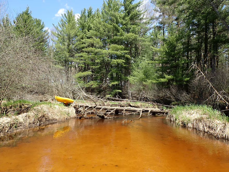
The portage of the dam was really easy and the area was kind of scenic. The wind here was so strong and perfectly directed that it sent a lot of water over the dam and the adjoining boardwalk. This little wind storm likely raised downstream levels by a decent amount.
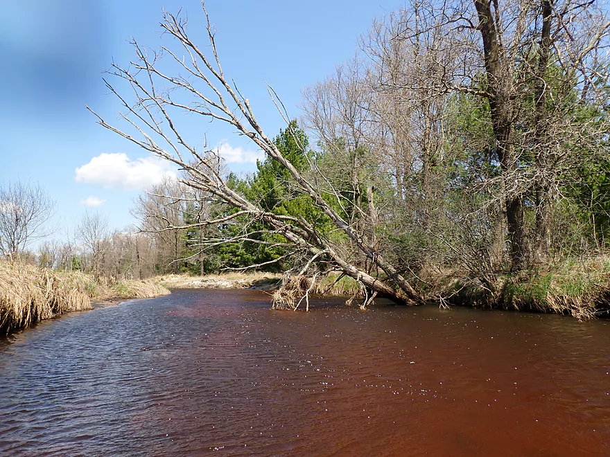
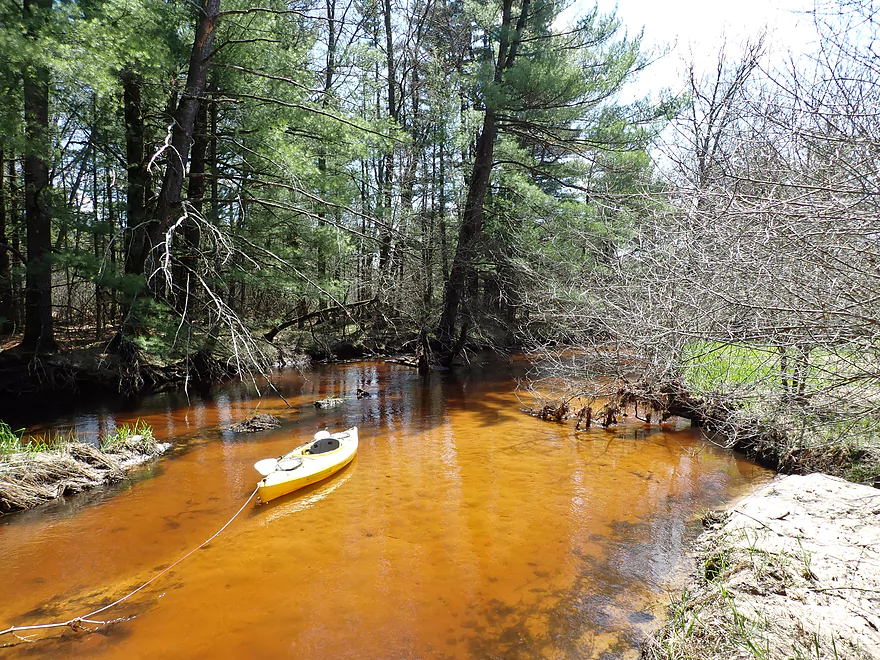
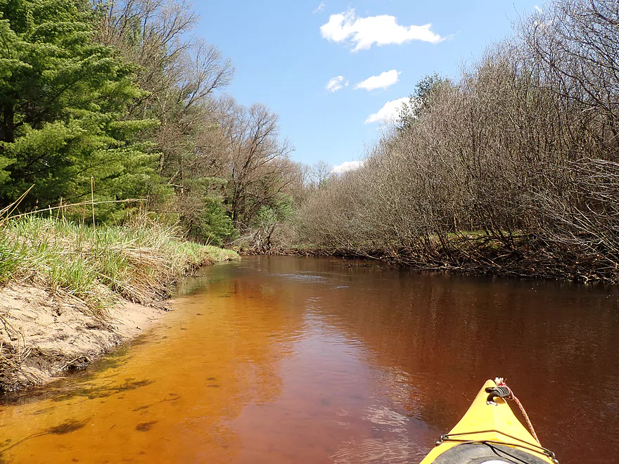
The next two miles were a pleasant creek paddle and it was great to finally experience current again. The banks here were open and grassy with scattered trees visible in the distance. The water was clear with a red hue and there were a number of small sandbars along the banks. If this sounds like last week’s review…it’s because Lower Robinson Creek is actually surprisingly similar to the East Fork of the Lemonweir (minus the outcrops). This shouldn’t be too surprising as these two watersheds are neighbors separated only by Interstate 90. Outside of the dam, there weren’t any obstructions or logjams (so far) but there were a few minor brush piles to get over (perhaps former beaver dams).
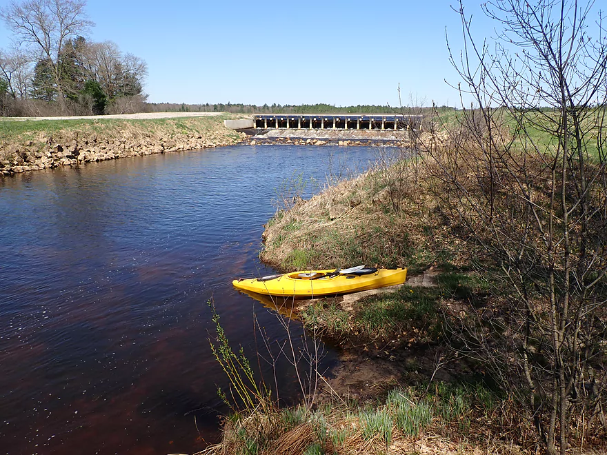
On the last leg of the trip I encountered a large fence along the bank which marked the start of the large cranberry dikes. The creek still flowed somewhat freely, but the character changed dramatically. Things became more wooded, sandier, and I finally had to start dealing with logjams. But the scenery improved, with cleaner and redder water and more white pines. I ended the trip at Hwy 173 which had a manageable bridge access.
Whether this water trail is right for you will depend on your preferences. It’s certainly diverse and scenic (perhaps the best scenery on the Lemonweir), but I did have to deal with 8 logjams. Typically that number would be a deal breaker…but…the shoreline was very flat and sandy with little mud, so they were really easy. In fact I wasn’t phased and thought of them as just unplanned sandbar breaks, but others might disagree. If you’re a local and are a bit adventurous, I think you’ll have a good time.
Buckley Ave: This is a great access with a surprise boat ramp. Note, if you park here, make sure you don’t block other vehicles with trailers from launching.
Alternate Put-ins: In theory you could start a trip 3 miles upstream at Hwy EW…but you would have to deal with a number of logjams and it likely isn’t worth it.
Hwy 173: This was an ok bridge access. The road is a bit busy and some boat dragging up an embankment was required to reach the car, but I didn’t think it was too bad.
Alternate Take-outs:
- Dove Ave (0.9 miles downstream of Hwy 173): This stretch is open and super sandy with many small sandbars. Dove Ave is a feasible bridge access.
- Cooper Road (3.3 miles downstream of Hwy 173): Same as above plus more woods, cranberry farms, frac sand mines and maybe two logjams. Despite that, it’s a good prospect. Cooper Road is a bad access because of a lack of parking.
- Backwater Bar and Grill (3.5 miles downstream of Hwy 173): Same as above plus a small but nice flowage section. The dam behind the bar is open to the public and is a great take-out option.
Hwy 173 to Buckley Ave: 4.2 miles. This was a pleasant bike shuttle with no troublesome hills yet had good scenery. Much of the shuttle is along Dead Creek where I appropriately enough found the roadkilled porcupine. The only downside was a pair of obnoxious dogs that chased me near the put-in. Normally I can out-pedal pursuing dogs, but these got out in front of me and I had to do some tight swerving to avoid hitting them.
- Current: No rapids and only a few minor riffles. Overall a safe and lazy stretch.
- Dam: There is a dam to portage but that’s super easy.
- Getting Lost: The outlet of the lake isn’t super obvious and it is easy to miss. I suggest hugging the east shore so you don’t miss the dam/outlet.
- Wind: The lake is very open and vulnerable to the wind. Be mindful of forecasted wind speed and direction.
- Logjams:
- Logjam #1: Super easy portage
- Logjam #2: Super easy portage
- Logjam #3: Super easy portage
- Logjam #4: The banks are a bit bigger here so this isn’t as easy as the other portages, but wasn’t bad.
- Logjam #5: Easy portage (and scenic)
- Logjam #6: Super easy portage
- Logjam #7: Super easy portage
- Logjam #8: A mediocre portage…I waded through…but it might be easier just to use the west shore.
- Note: Yes, this was a lot of portages but the banks were shallow and sandy which made them relatively easy to do. Each jam is marked precisely on my map. I also marked where on the trip video each jam was using Youtube’s new channel marker system. This way you can judge for yourself if you think they are manageable or not.
Nearest Gauge: Lemonweir River @ New Lisbon, Wisconsin. This gauge is located 25 miles downstream on the river and should somewhat accurately reflect flows on the upper stretches.
Recommended Depths:
- 0-150 CFS: Maybe too shallow
- 151-400 CFS: Good clarity and many great sandbars.
- 401-600 CFS: A good depth with some good clarity and sandbars. I did the trip at 526 CFS which was above normal but fine for paddling.
- 601-1000 CFS: A high depth with poor clarity, but would be suitable for paddling.
- 1001-1800 CFS: A very high depth with murky water…but still viable
- 1801+ CFS: Banks are just about to burst (based on scouting I did on March 14th). River is likely too unattractive for paddling.
Detailed Overview
Lemonweir River - Main Branch:
- East/South Fork Confluence to Cty PP: 1.0 miles. Likely around 3 logjams.
- Cty PP to Funnel Road: 2.0 miles. Very straight channel with roughly 6 logjams.
- Funnel Road to 2nd Ave: 1.2 miles. Highly channelized and straight with about 3 logjams.
- 2nd Ave to Cty H: 1.8 miles. Roughly 4 logjams. The channel can be poorly defined at times.
- Cty H to River Road: 2.3 miles. Expect 4-6 logjams and confusing side channels where navigation is a challenge.
- River Road to 6th Ave: 5.4 miles. Likely navigable, but expect a high volume of logjams.
- 6th Ave to 37th Street Landing: 4.4 miles. Occasionally paddled but contains several logjams.
- 37th Street Landing to New Lisbon: 6.6 miles. A long, slow stretch that feels more like a lake than a river. While somewhat monotonous, the rock outcroppings, white pines, and fall colors provide some redeeming beauty.
- New Lisbon Dam to Hwy 12/16 Shoulder: 7.9 miles. A promising prospect featuring a “Little Dells” rock outcrop, though hampered by about 6 logjams. The Hwy 12/16 shoulder is a speculative but potentially an access point.
- Hwy 12/16 Shoulder to Riverside Park in Mauston: 4.6 miles. Mostly slow, open paddling through river flowages.
- Mauston Dam to 19th Ave: 4.5 miles. One of the premier stretches on the river.
- 19th Ave to Cty HH: 13.1 miles. Less engaging with a noticeably slower current.
- Cty HH to the Mouth: 3.3 miles. An excellent section with beautiful rock outcrops that serve as a prelude to the Wisconsin Dells.
Lemonweir River - East Fork:
- Cty EW to Buckley Ave: 3.4 miles. Begins in cranberry bogs before transitioning into a sedge-lined creek and concluding with a spectacular corridor of towering white pines. Expect roughly five logjams, mostly near the end.
- Buckley Ave to Hwy 173: 4.7 miles. One of the most scenic and diverse stretches of the Lemonweir, featuring marshes, a lake, cranberry bogs, sandbars, and towering pines. A handful of easy-to-portage logjams are located near the end.
- Hwy 173 to Cooper Road/Dam:
- Hwy 173 to Dove Ave: 0.9 miles. A lovely, open leg with clear red water and numerous small sandbars. Includes one minor, easy portage.
- Dove Ave to Cooper Road: 2.4 miles. A mediocre stretch flanked by frac sand mines and cranberry bogs; much of the channel is ditched and straightened. The half mile below Dove Ave contains several logjams, some requiring difficult portages.
- Cooper Road to Backwater Bar Dam: 0.2 miles. A short but scenic flowage set against attractive pines. The dam is not a practical take-out due to trespassing restrictions and proximity to the spillway.
- Backwater Bar and Grill to Hwy 21: 0.5 miles. Likely congested with near-constant logjams.
- Hwy 21 to East/South Fork Confluence: 0.3 miles. Expect 2-3 logjams.
Lemonweir River - South Fork:
- Butts Park/Lake Tomah to Forbes Road: 4.5 miles.
- Butts Park to Lake Tomah Dam: 0.2 miles. A quick paddle across Lake Tomah to reach the spillway.
- Lake Tomah Dam to Memorial Park: 1.2 miles. A narrow, sandy stretch with a high number of downed trees.
- Memorial Park to Tomah Dog Park: 0.6 miles. Mostly pleasant and open, though one large logjam requires a very difficult portage.
- Tomah Dog Park to Forbes Road: 2.5 miles. The first half is heavily obstructed; the second half is more open but still requires two logjam portages.
- Forbes Road to County N: 6.9 miles.
- Forbes Road to Cty ET: 1.6 miles. A high-quality stretch with good clarity, a sandy bottom, and one manageable logjam portage.
- Cty ET to Cty N: 5.3 miles. Scenic and clear, passing through grasslands, frac sand mines, and a massive cranberry bog. Includes three logjam portages.
- County N to Excelsior Ave: 3.0 miles. Open through the golf course, but the wooded sections likely contain 6-8 logjams.
- Excelsior Ave to East/South Fork Confluence: 0.5 miles. Likely riddled with countless logjams.
Trip Map
Overview Map
Video
Photos Size: