
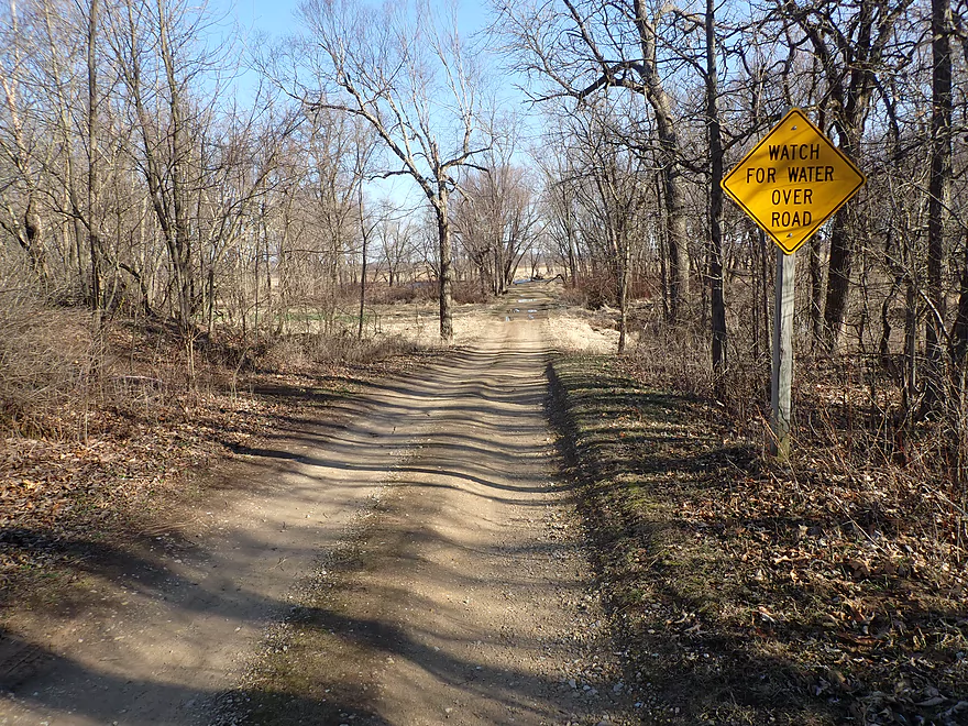
Rugged road leads to the Avoca Prairie and Marsh Creek
Scenic area
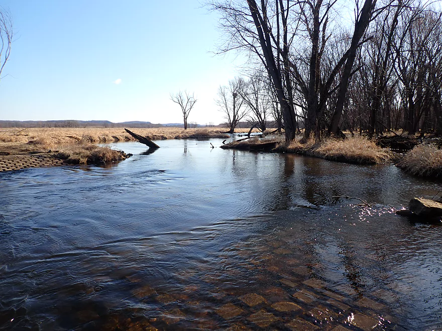
Same view, but in March
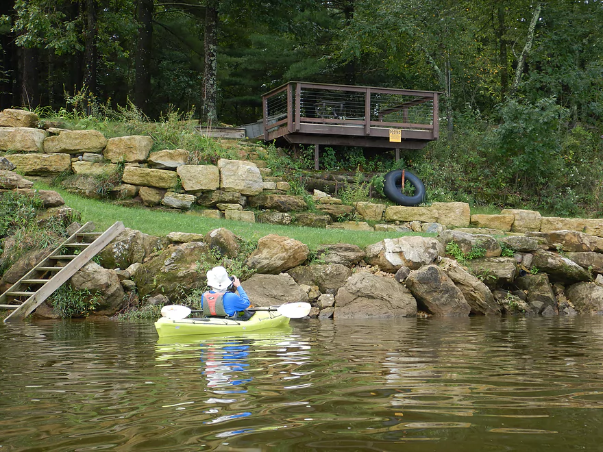
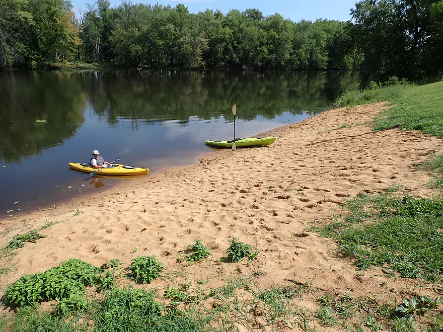
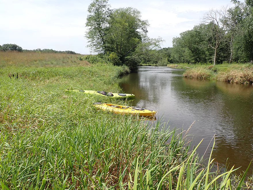
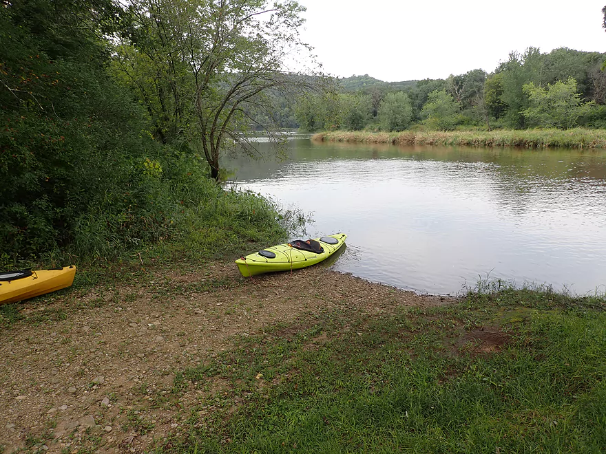
Nice put-in area
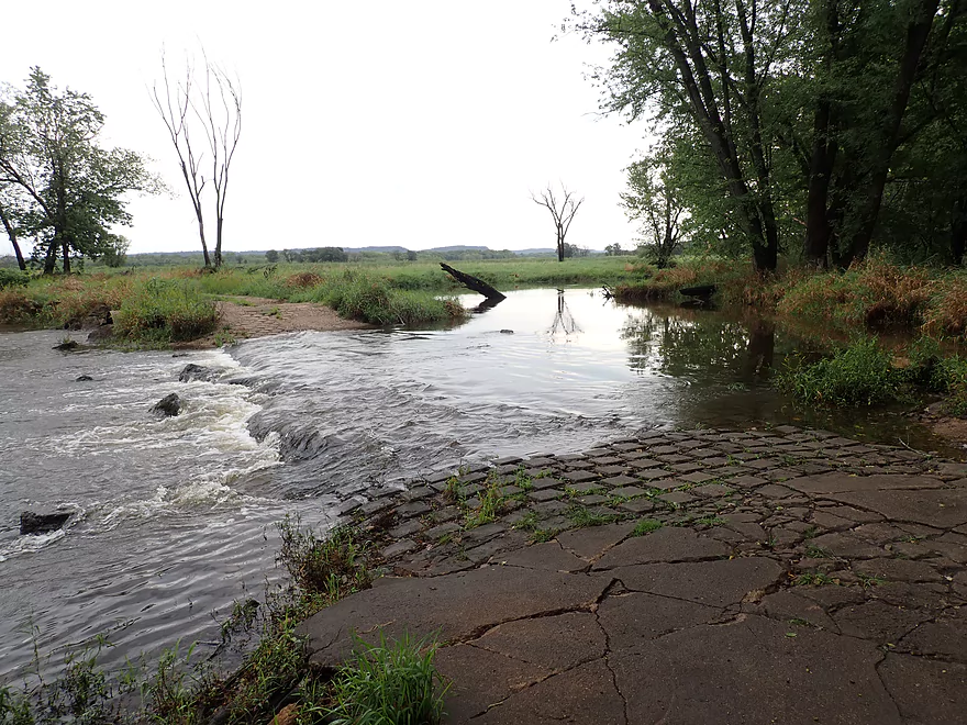
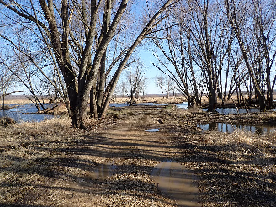
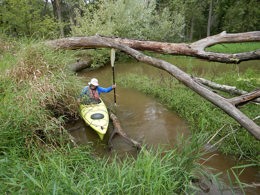
Hay Road is being over-topped, but this is actually quite normal
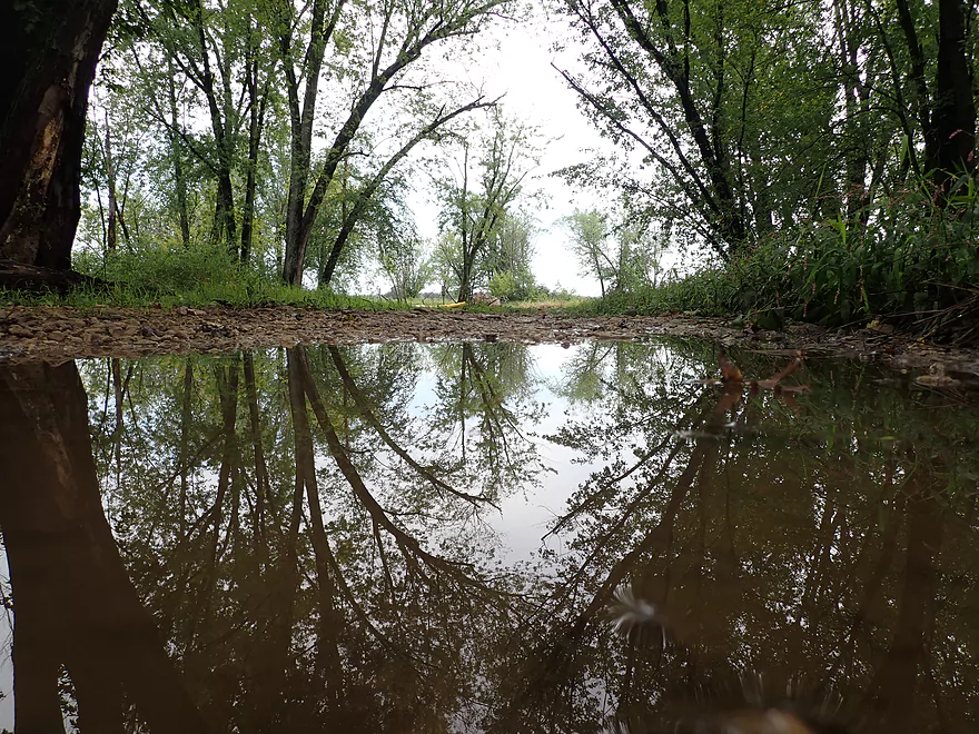
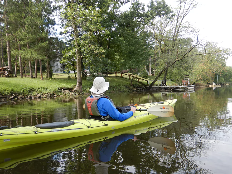
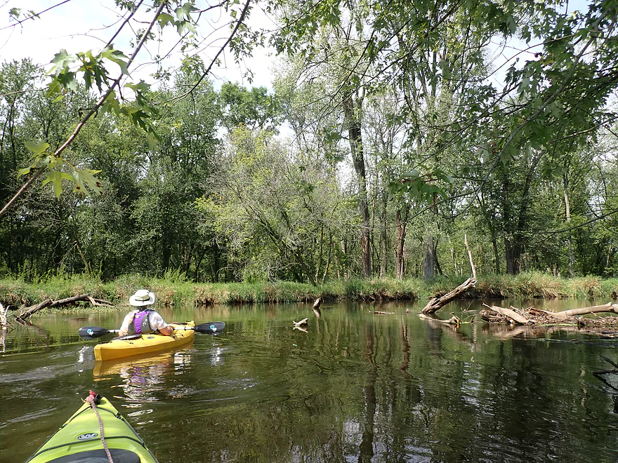
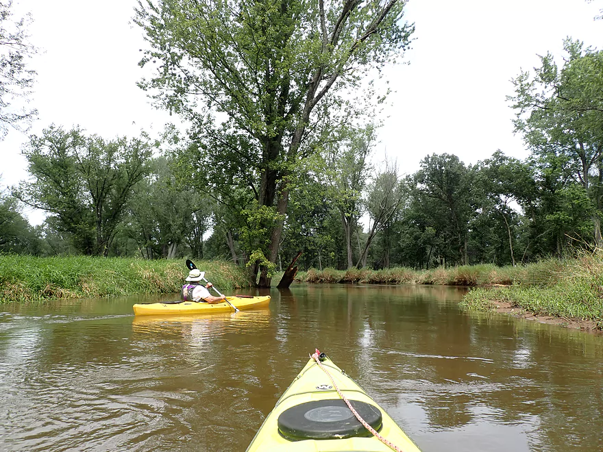
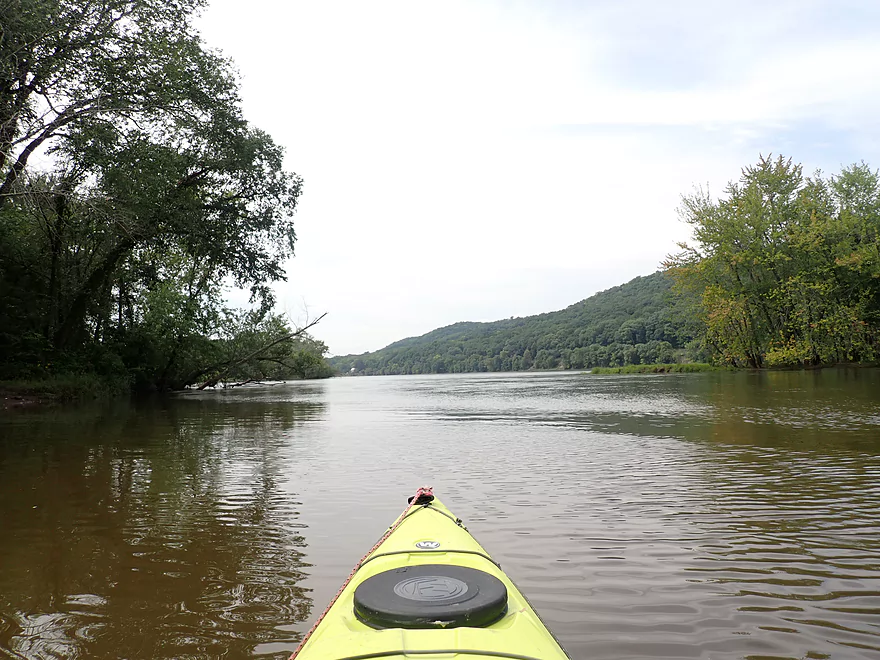
View upstream on Marsh Creek
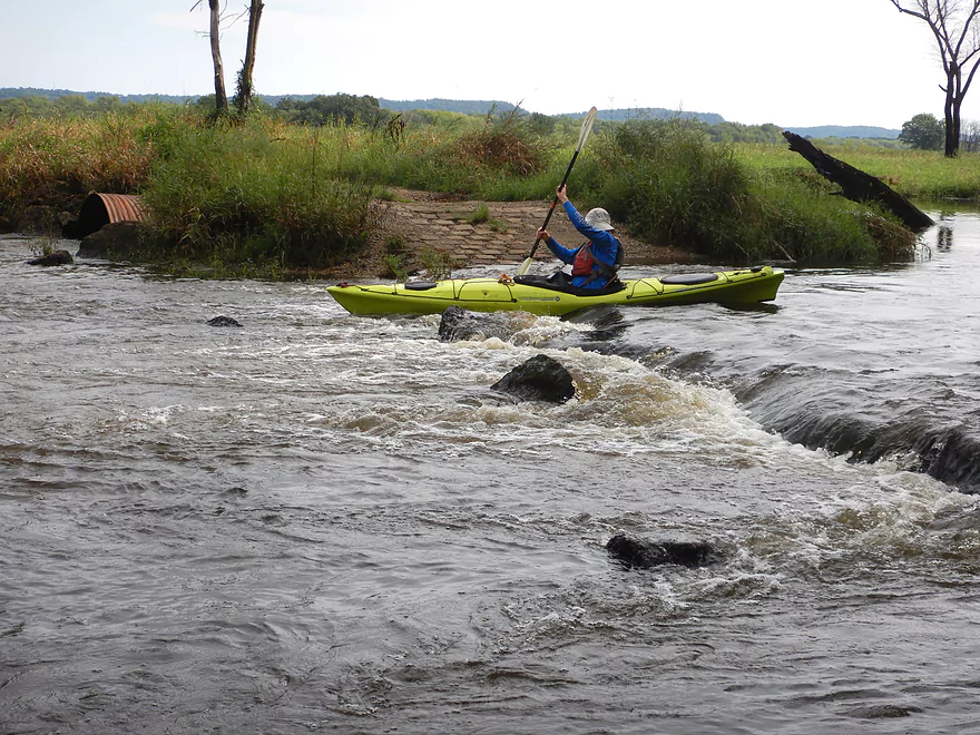
Fun rapids created by the flooded road
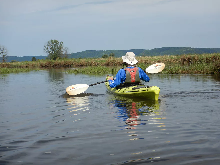
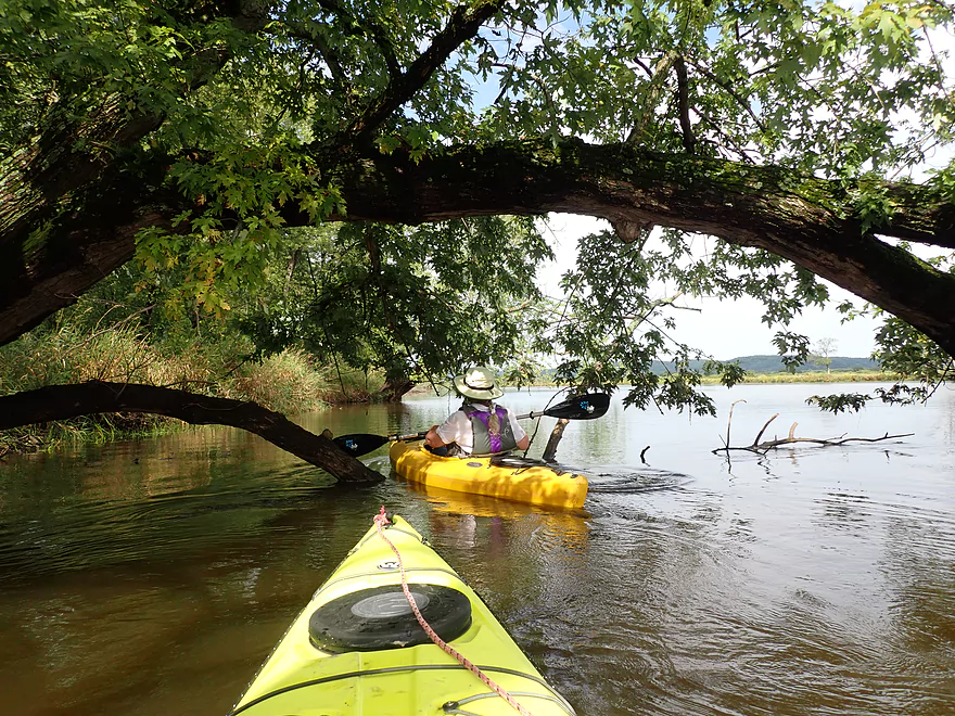
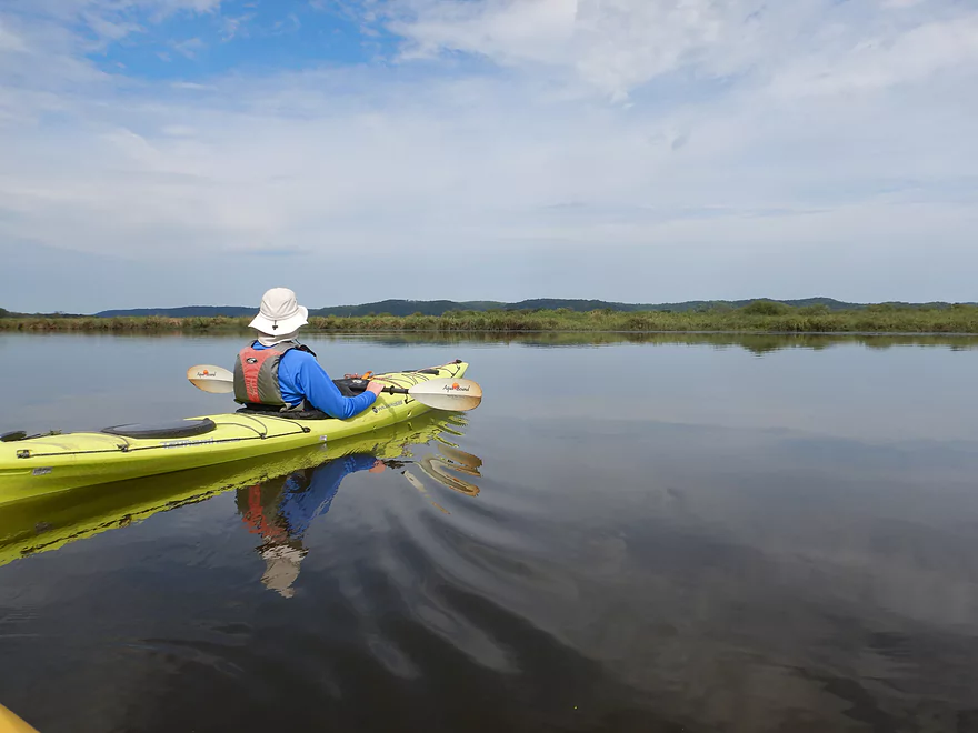
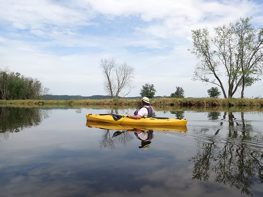
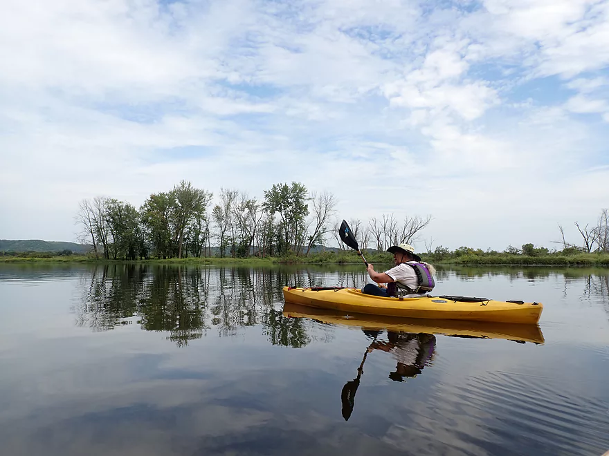
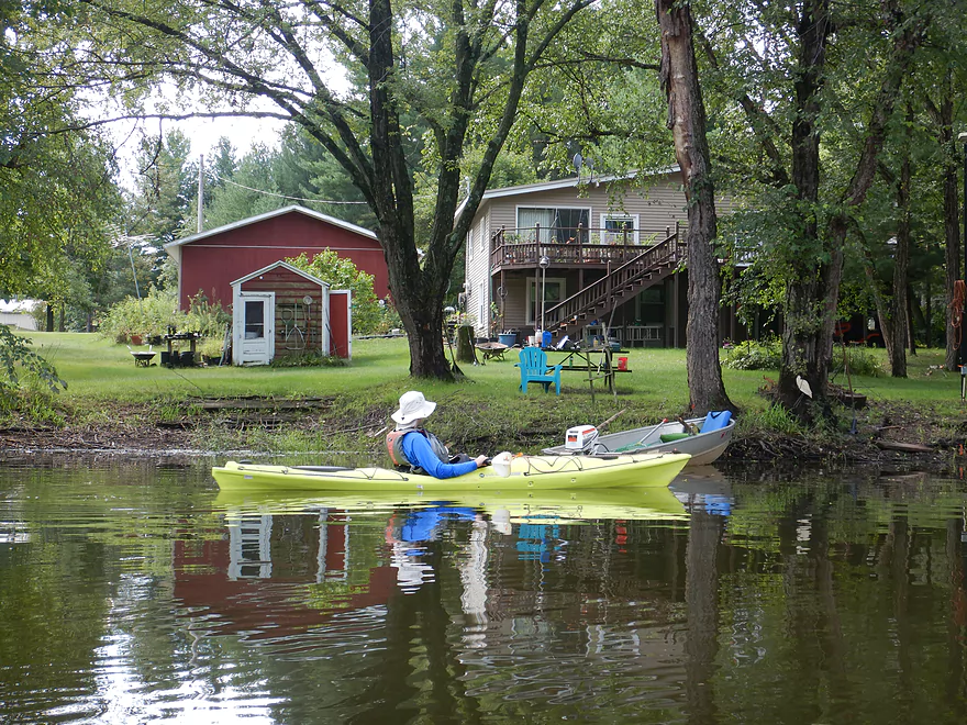
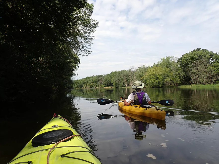
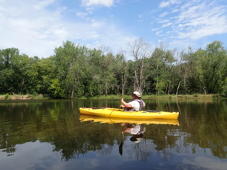
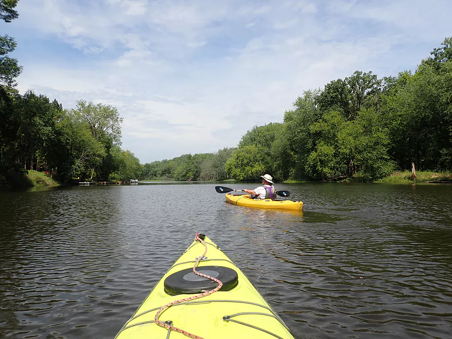
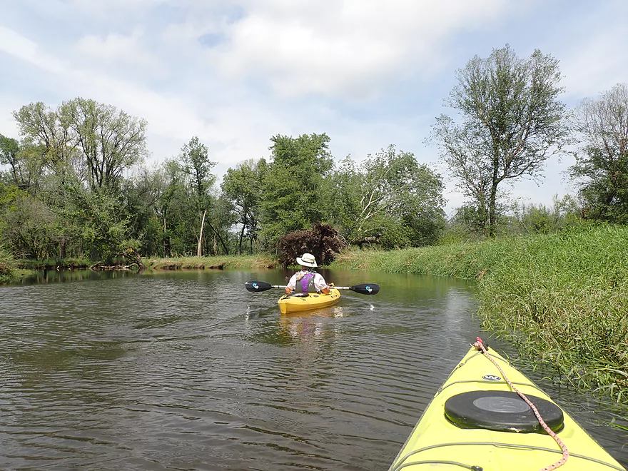
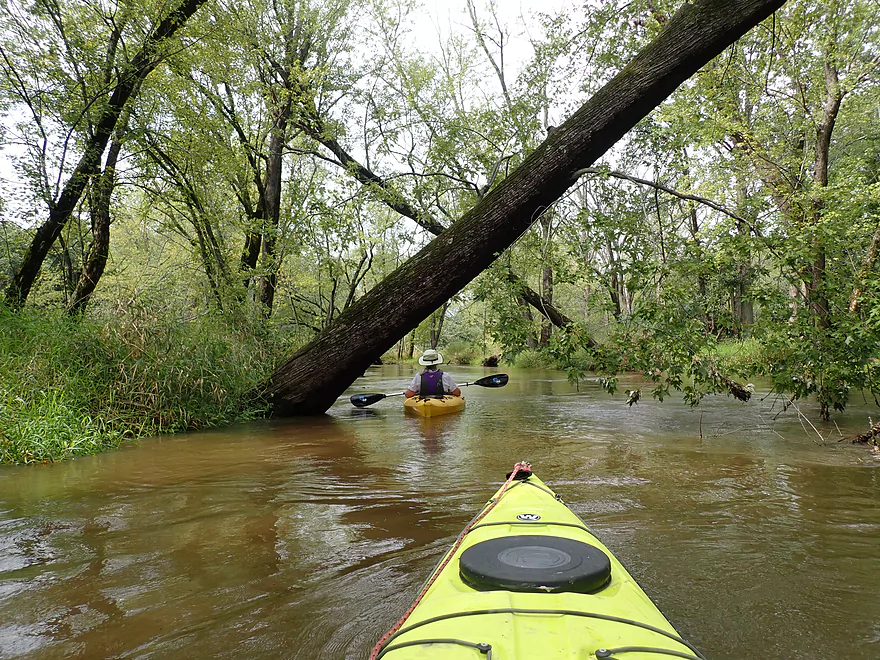
Starting the trip with the Avoca Prairie to our right
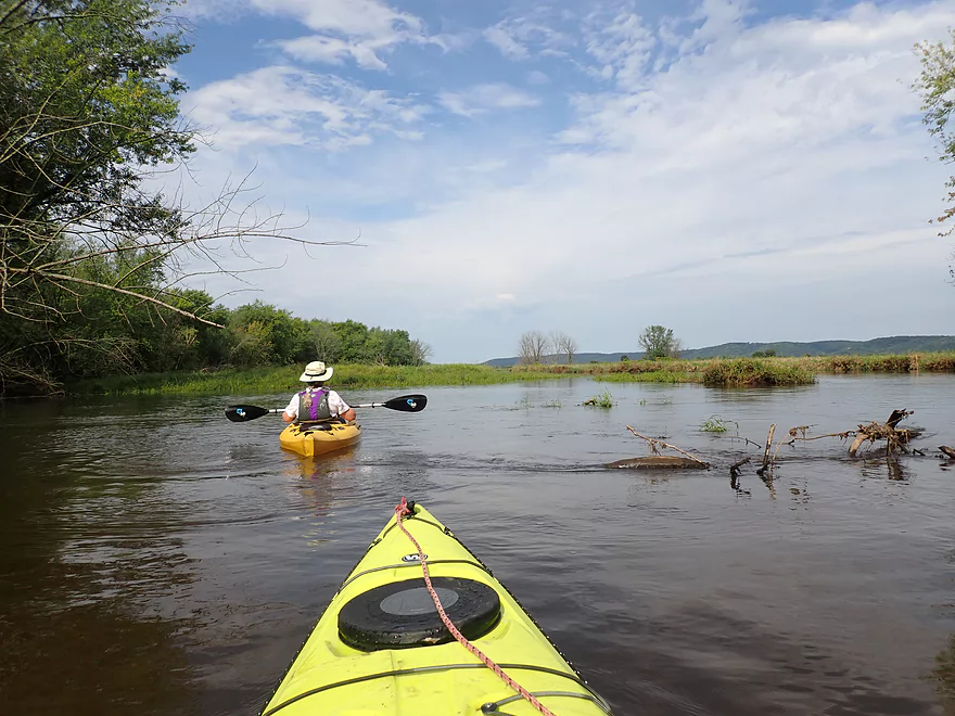
The creek is very wide to start
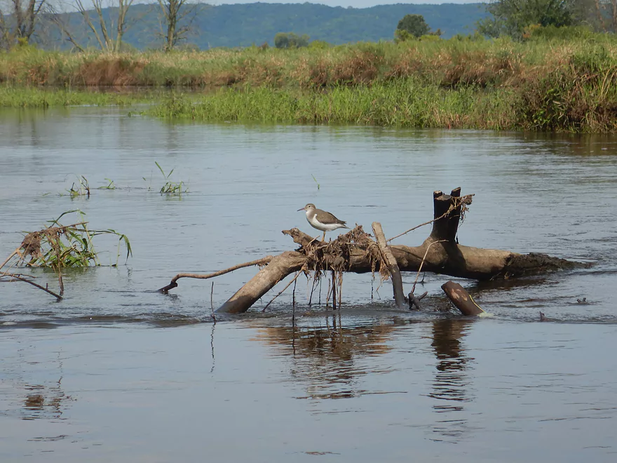
A shorebird
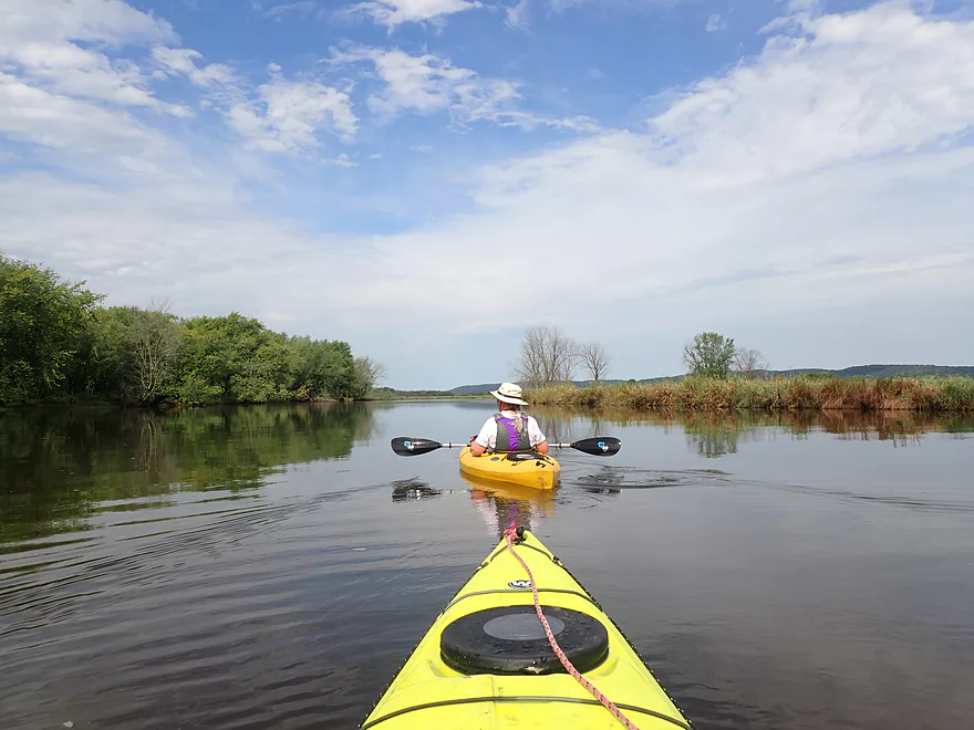
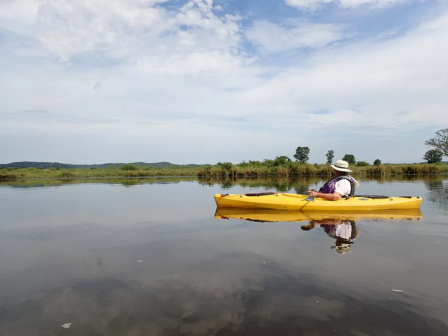
This area had a vast, open feeling
The left side of the creek had frequent patches of cardinal flowers–the most I’ve ever seen
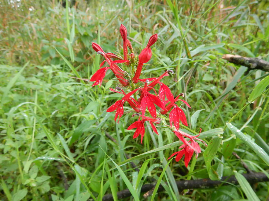
A cardinal flower closeup
Wisconsin River bluffs can be scene in the distance
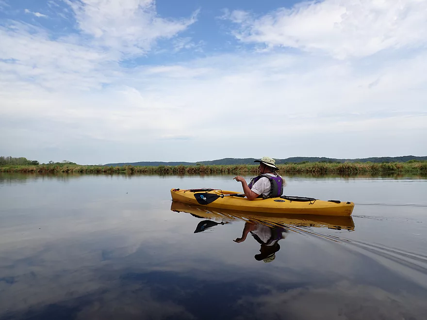
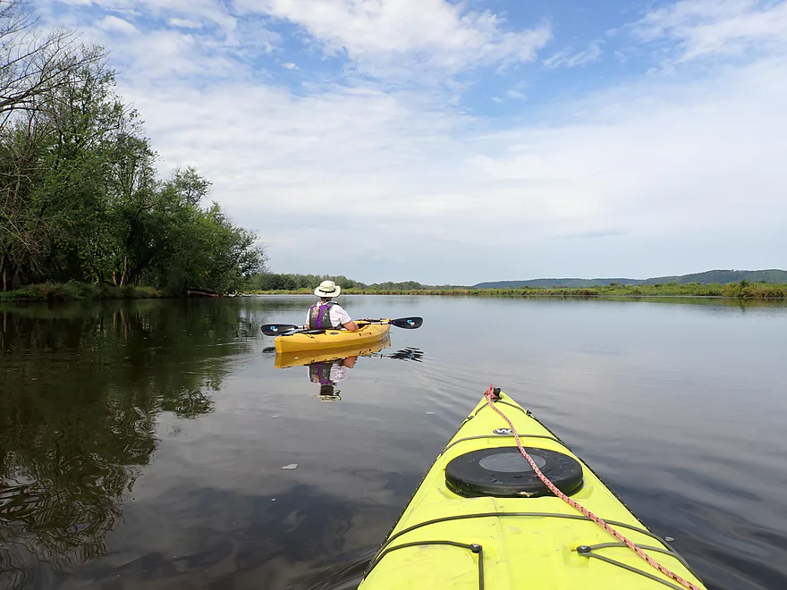
Deep, slow current created great reflections
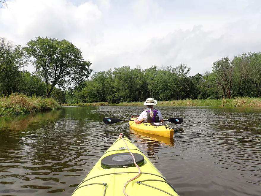
This broad stretch of the creek is known locally as Avoca Lake
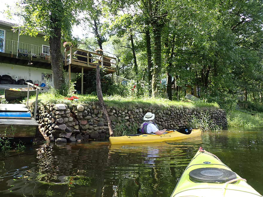
The first of several homes on the left bank
Avoca Prairie (in back) is the largest tallgrass prairie east of the Mississippi
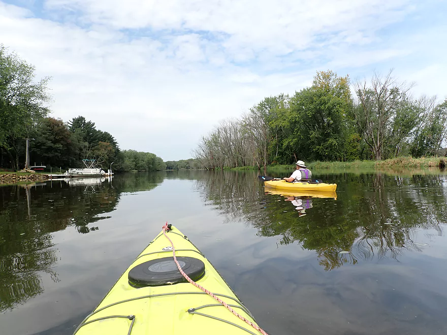
Entering the outskirts of Avoca
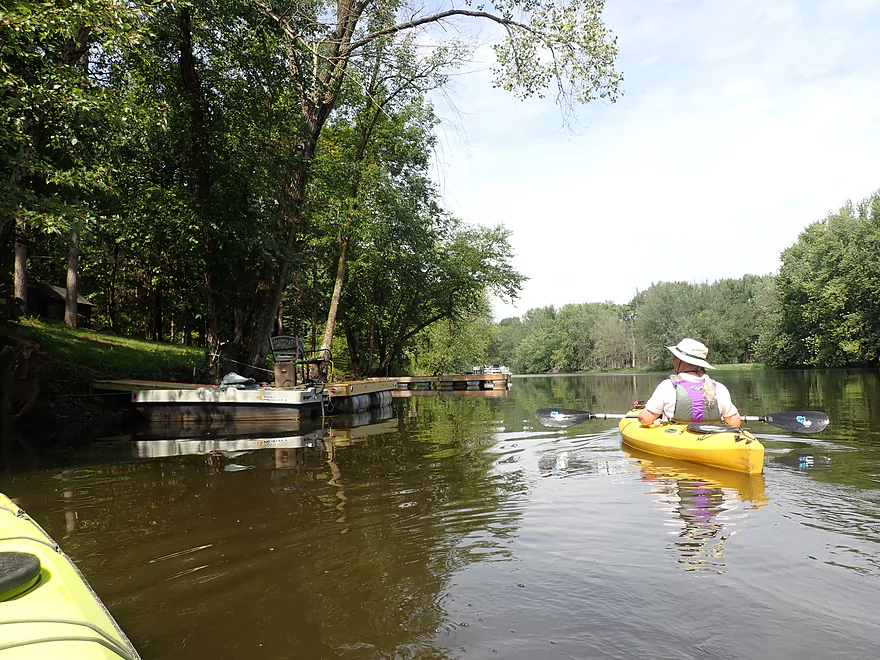
Lots of boats and docks
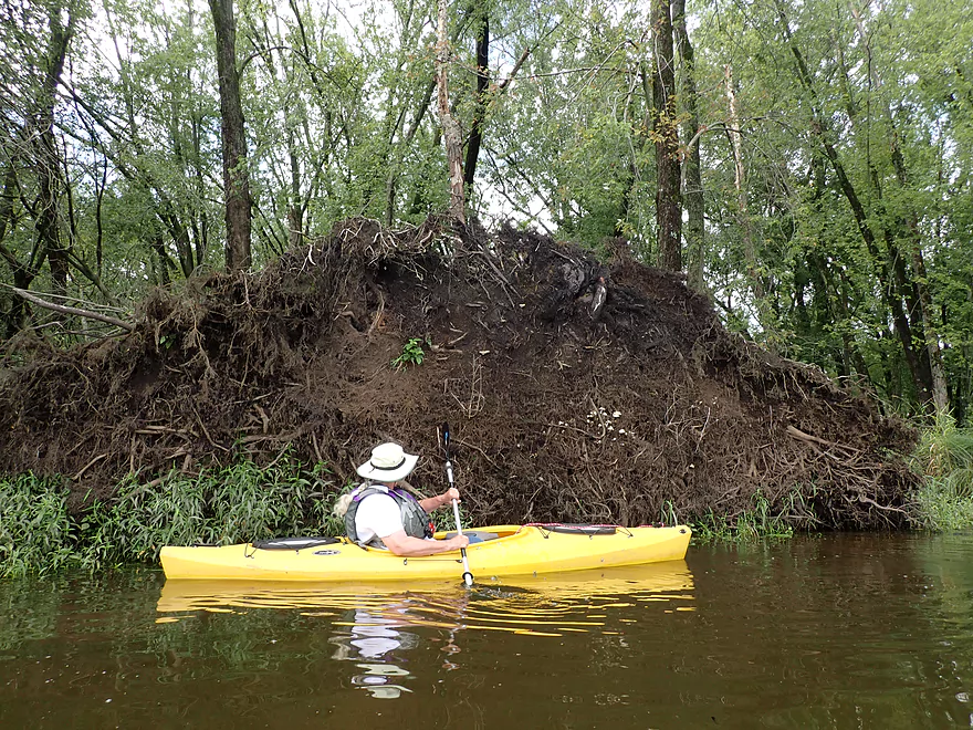
Shallow roots don’t hold up well in a wind
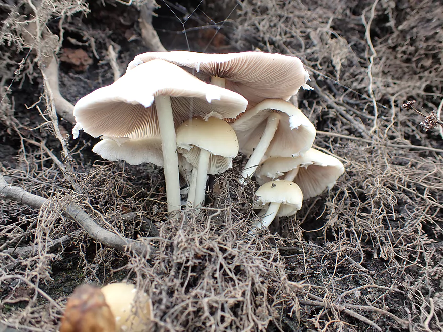
A cluster of mushrooms growing among the roots
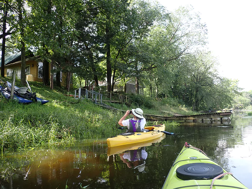
More Avoca
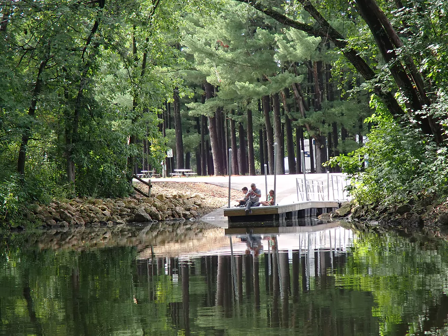
This is the Avoca Lake boat landing, the main access to Marsh Creek
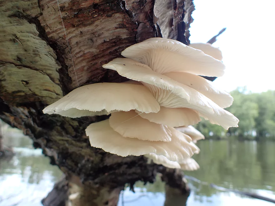
A group of oyster mushrooms (edible)
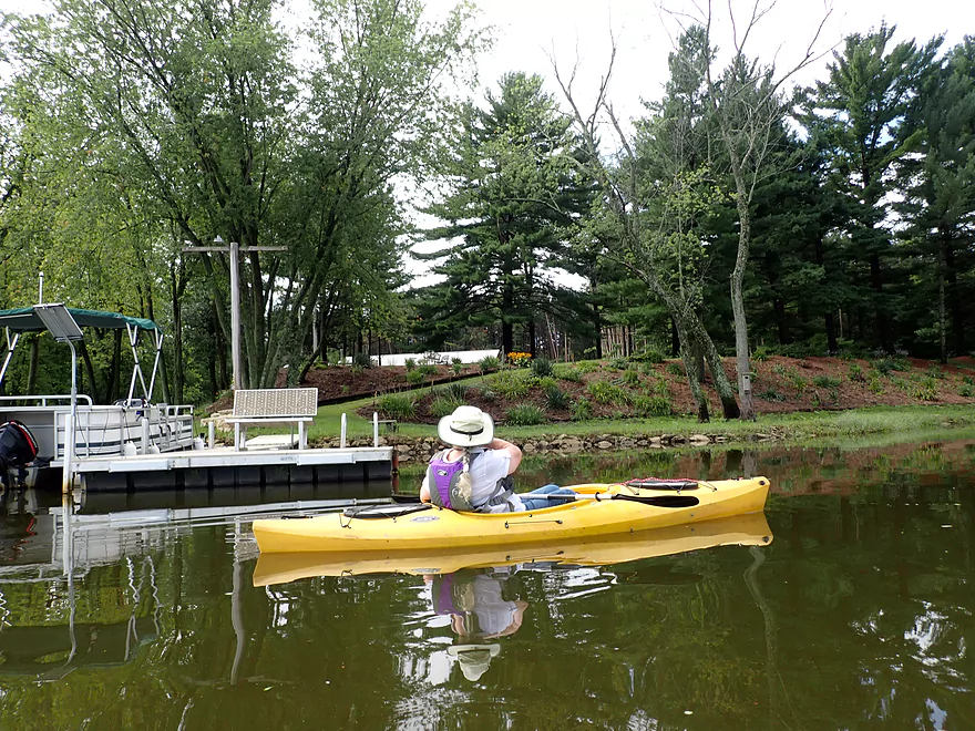
Avoca Lakeside Park is a nice break area
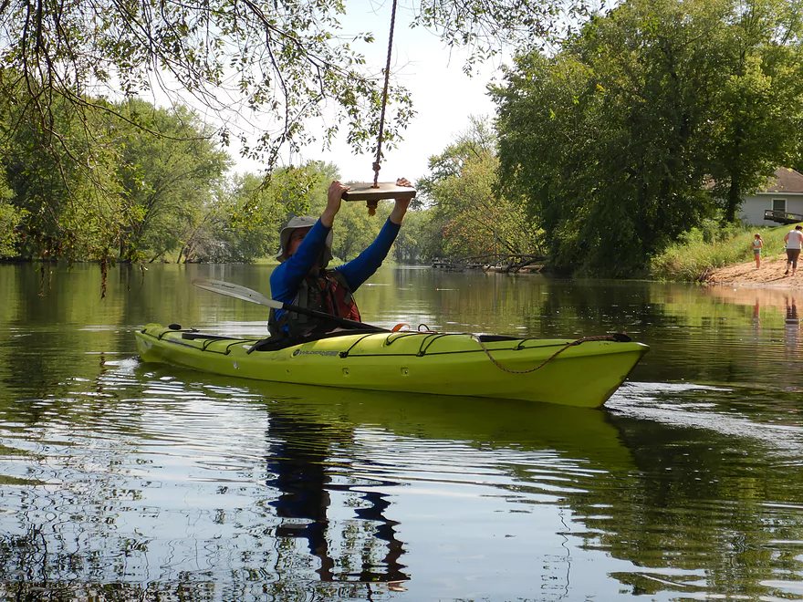
A conveniently located kayak swing
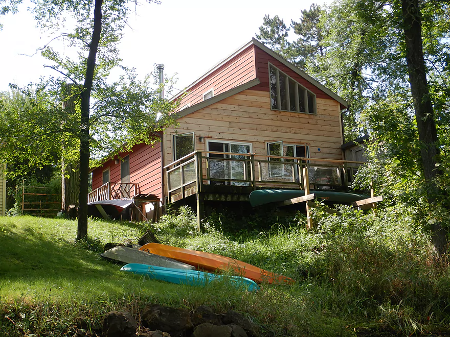
We saw some nice cabins
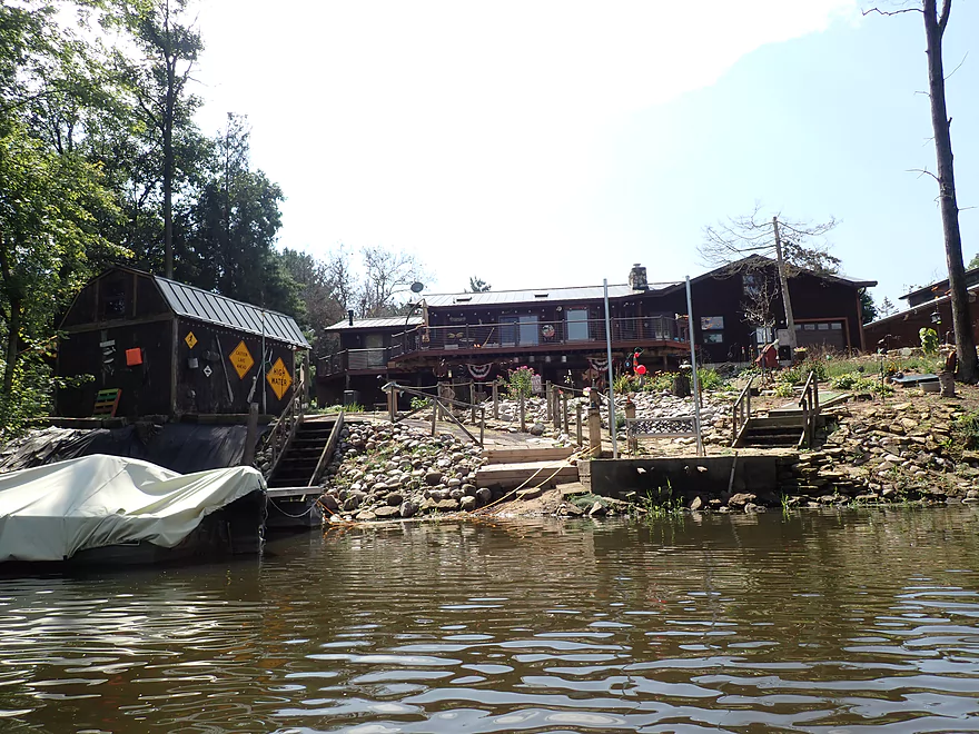
Quite the deocrations
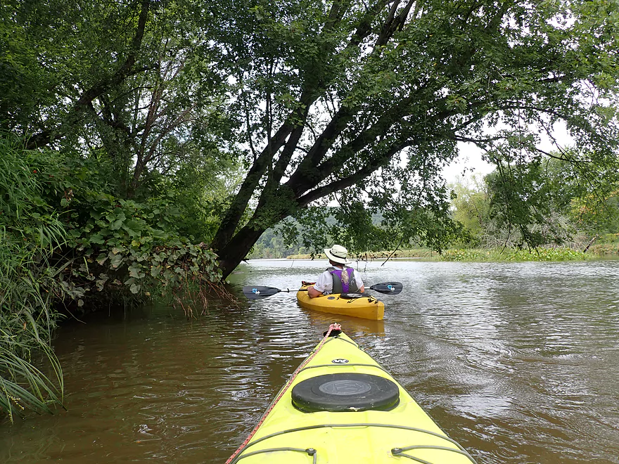
The right shoreline featured mostly generic silver maple
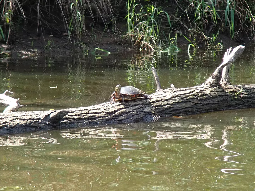
We saw a number of turtles on the trip
A left bend marks the end of Avoca Lake
Checking out a nice prairie
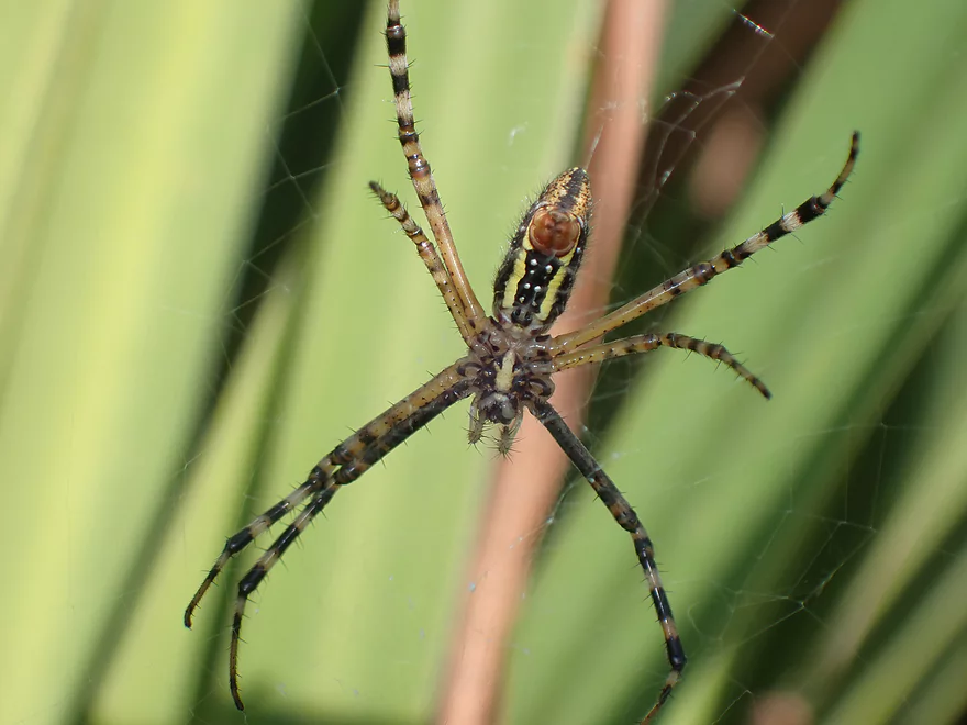
The underside of a very colorful spider
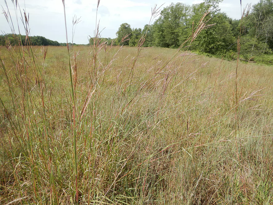
Big bluestem is one of several grasses in this DNR prairie
Creek starts to narrow and speed up
The sandbars of Marsh Creek were mostly underwater during our trip
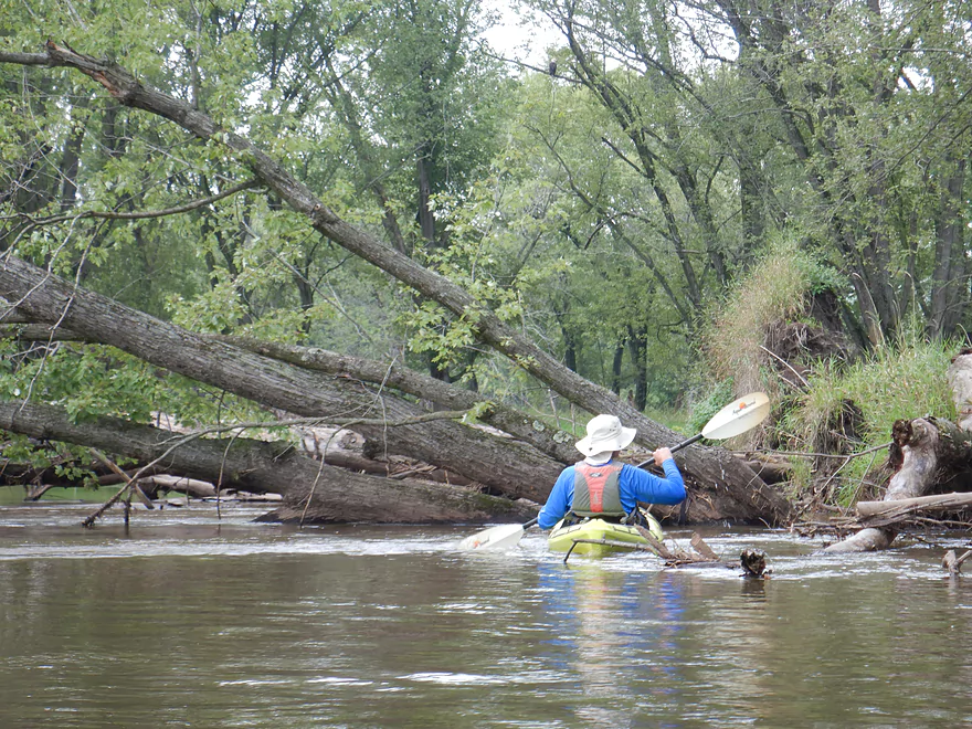
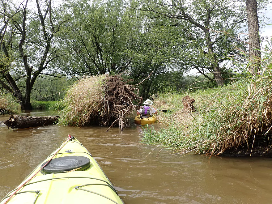
First major logjam
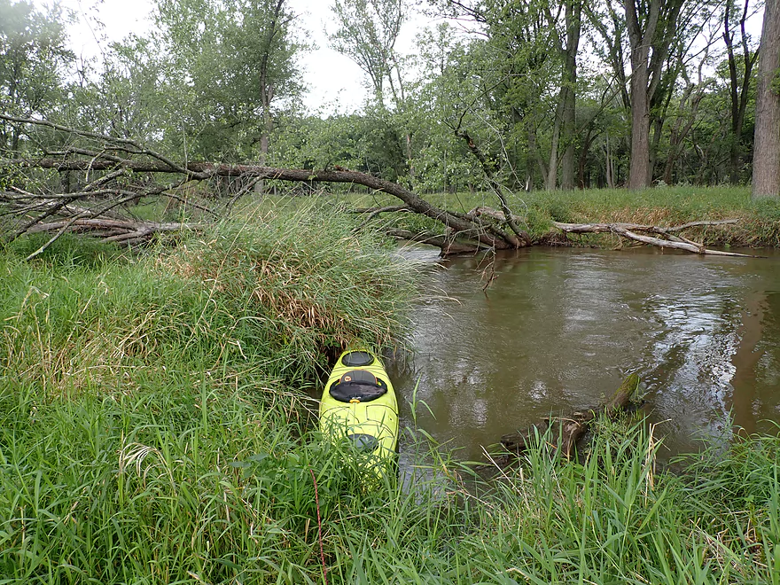
This required a portage through tall reed canary grass and cutgrass
Future logjam
Often we could just sneak around the deadfall
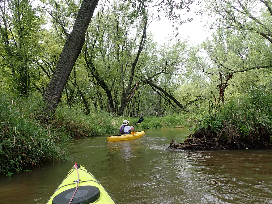
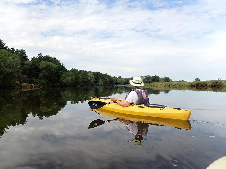
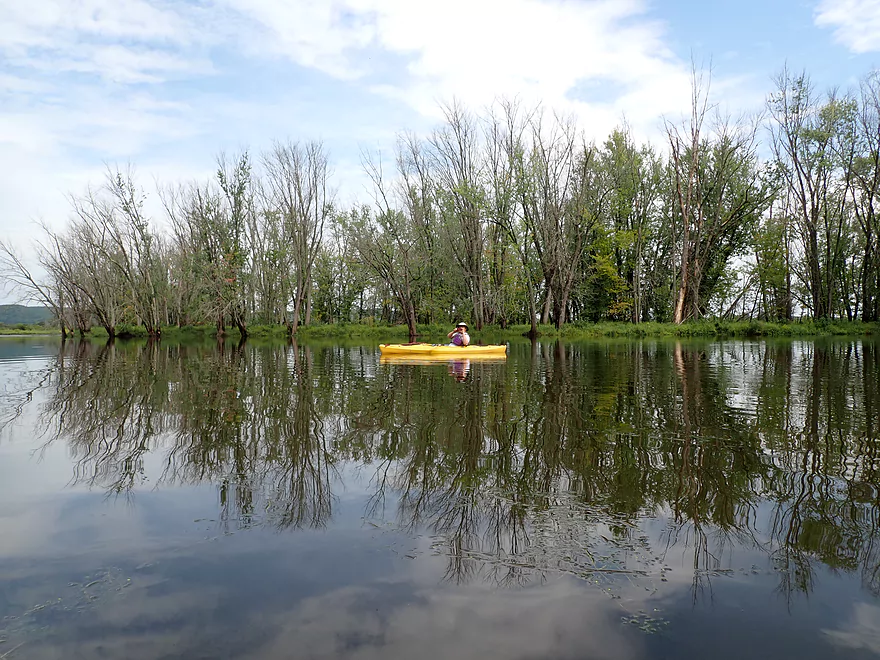
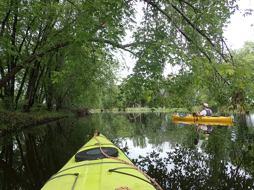
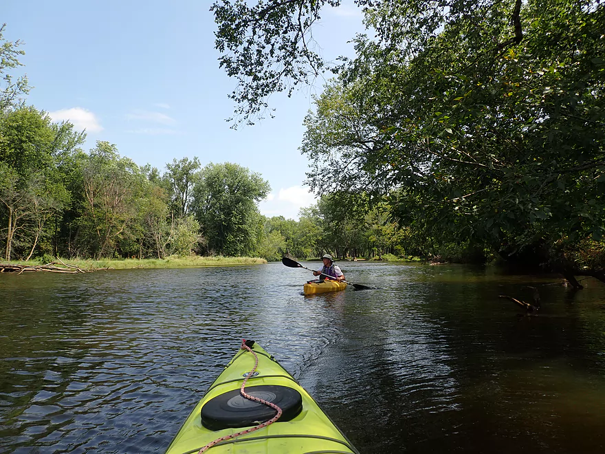
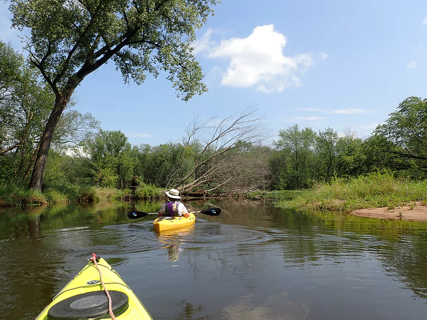
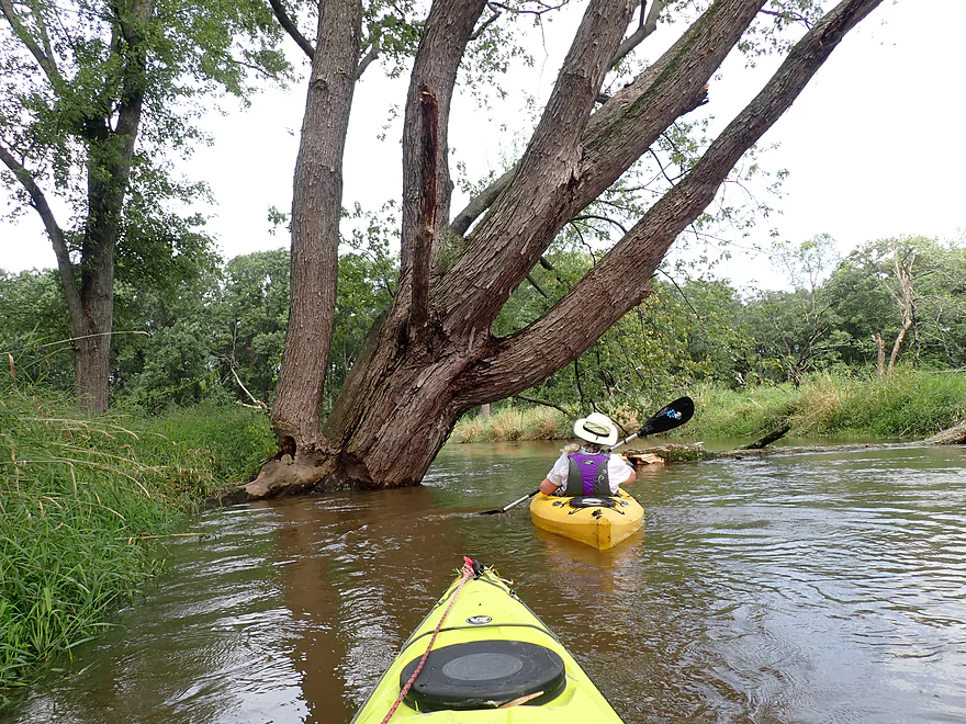
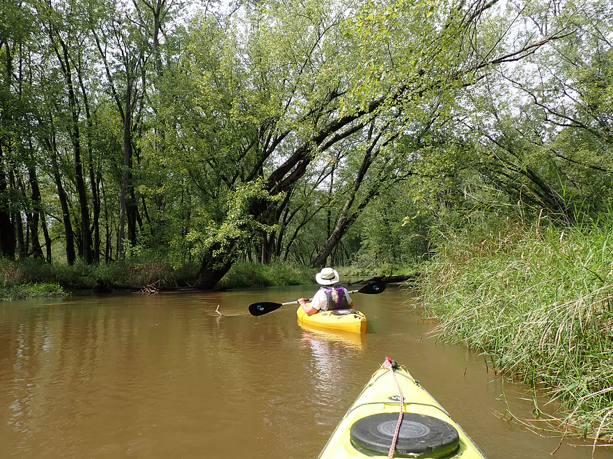
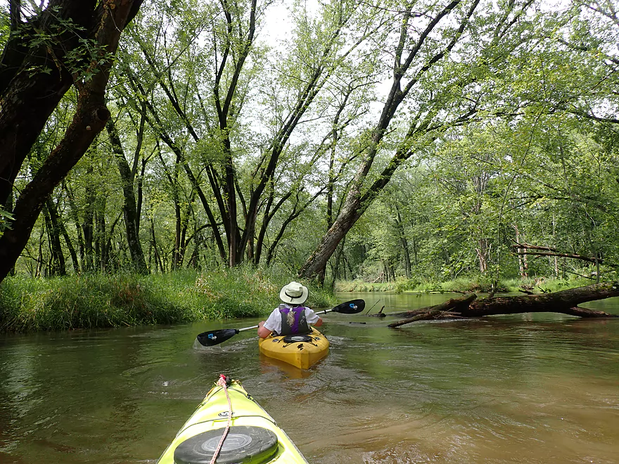
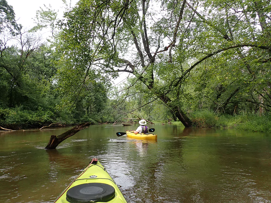
Scenic part of the creek
Very turbid water
Second major logjam and portage
Another future logjam
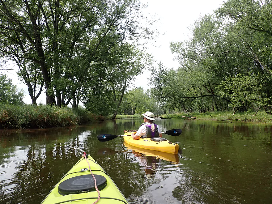
Final stretch
Confluence of Marsh Creek and the Wisconsin River
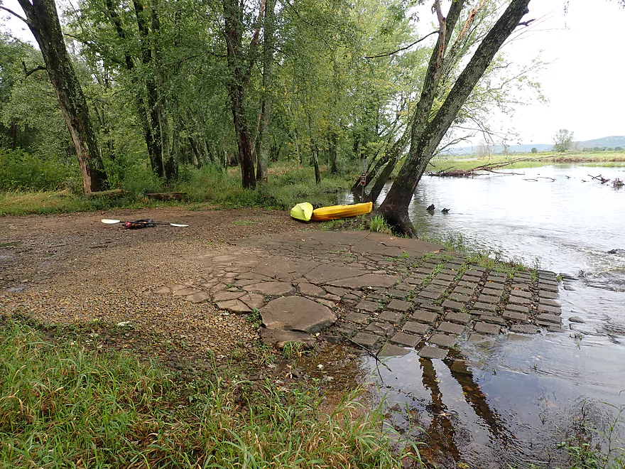
Nice take-out at Juicy Steak Landing
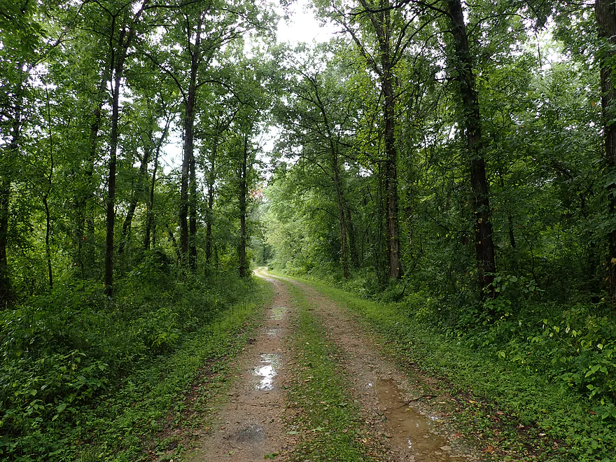
Pretty rough road leads to this landing
Marsh Creek

The Lower Wisconsin features a number of sloughs and side channels. One of the larger ones is referred to as “Marsh Creek” and is located by the community of Avoca (upstream of Muscoda). Local Avoca paddlers do venture out onto this creek frequently, but few go all the way down to its mouth on the Wisconsin River.
We started the trip at Hwy Rd, which was a nice put-in even though the road itself was over-topped by the creek. Technically speaking Hay Rd doesn’t mark the start of Marsh Creek (which is located about a mile upstream on the Wisconsin River) but it was the furthest upstream launch available.
The first mile was somewhat uninteresting with a slow, wide channel. Perhaps at some point in the past this used to be the main channel of the Wisconsin before it was rerouted north. The scenery along the right was fantastic though. Here we could overlook the vast and open Avoca Prairie and see the large river bluffs of the Wisconsin River in the distance. The deep, still water also created terrific reflections.
The next two miles passed by the community of Avoca. The right shore was filled with silver maple (the most boring tree you’ll see on a paddle), while the left bank contained a series of lakeside cottages. Typically I’m not a fan of waterside development, especially McMansions and acre-sized lawns…but many of these houses were small, humble, and tastefully decorated. It was quite common to see kayaks or canoes in their yards, and I suspect the locals spend a lot of time on the creek. We passed Avoca Lakeside Park which has a popular boat ramp and beach. Most who paddle Marsh Creek will launch here (not Hay Rd).
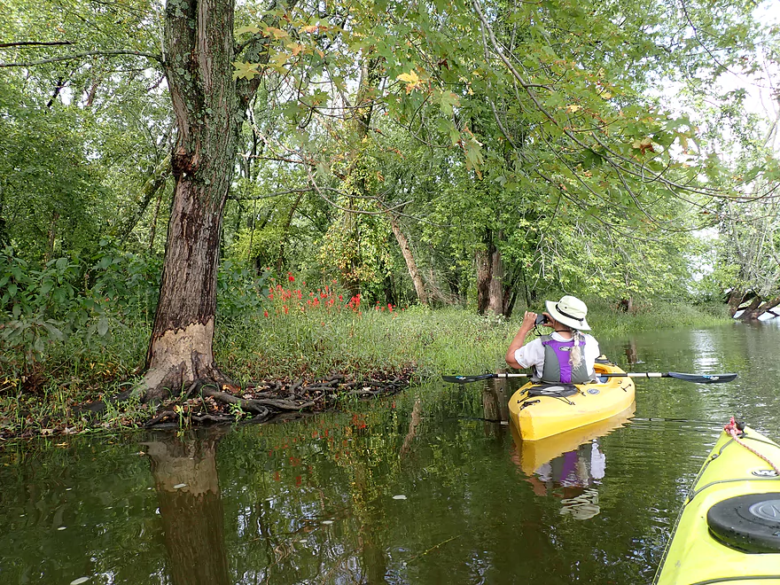
After we passed the last house in Avoca and started the last third of the trip, things really changed. Marsh Creek became narrower, shallower, more wooded, and picked up a lot of speed. It was no longer a lake paddle…but now a small river (with a very similar vibe to the La Crosse River).
This final leg was scenic…but deadfall became an issue. Most logjams could be snuck past, but two required portaging. This was a bit tricky as the shore was filled with tall (as in over 5′) reed canary grass and “cutgrass” which has blade shaped edges that can (and did) draw blood when brushed across exposed skin. Levels were on the high side and I suspect at lower levels we would have had to portage 1-2 additional downed trees. I also think Marsh Creek typically has sandbars at lower levels (which we didn’t see).
Thankfully the most congested part of the creek was only a half mile long (by the power lines) and the creek soon opened up. The final half mile was a generic slough paddle through beat-up floodplain forest before we reached the Wisconsin River and the take-out (Juicy Steak Landing).
In summary, this trip (like so many) was a mixed bag. The first third (aside from the Avoca Prairie and river bluffs) was kind of a boring lake paddle. The second third was a paddle by the community of Avoca. There were some creative cottages and decorations, but again nothing super interesting. The last third did feature good scenery and current, but the deadfall and the two logjams were a disappointment. Hopefully the locals clear those out in the future. Until then, I suspect most that paddle Marsh Creek will simply stick to round-trips between Avoca and Hay Rd.
Sights included a number of turtles (mostly painted, but one map), some eagles, a few splashing fish (likely carp), and a flock of geese. We heard a loud whack on the water and believe it was a beaver making a warning signal with its tail. The highlight was a large spider getting dragged by a tiny wasp across the entire creek.
Avoca Prairie and Savanna: This is a public state natural area located between Marsh Creek and the Wisconsin River. It’s not as sandy as some of the other Lower Wisconsin state natural areas, but it does feature a fantastic prairie. In fact it’s considered the largest tallgrass prairie (1,885 acres!) east of the Mississippi River. Exploring it can be difficult though as the main access (Hay Rd) is often over-topped by Marsh Creek. My best guess is that 7,000 CFS (Muscoda gauge) is the point at which you can drive out onto the prairie. Otherwise your best bet is to wade across the creek and to hike the rest of the way.
Hay Rd: This is the main access road that leads to the Avoca Prairie SNA. Note, it is a bit rough, so you may not want to drive all the way to the creek. Instead you can park at a large parking lot and hike 600′ north to the water.
Alternate Put-ins:
- Otter Creek Landing: 5.8 miles upstream on the Wisconsin River. In theory you can access Marsh Creek from the Wisconsin River but it would mean a lot of river paddling (over 6 miles from Lone Rock to the upper mouth of Marsh Creek).
- Avoca Lakeside Park: 1.4 miles downstream from Hay Rd. This is a good access option with a public beach, boat ramp, and outhouse. Most wanting just to do a round-trip on just the slow parts of the creek will launch here.
Juicy Steak Landing: Located on the mouth of Marsh Creek and next to the Wisconsin River is a good public boat ramp. It’s free to use, yet not very popular so you won’t have much competition for parking or to use the ramp. A long gravel road leads to the landing…when it forks go right! Note, Google says the name is “Juicy Steak Landing”, but I’m not 100% sure this true. I’ll just go with it…
Alternate Take-outs:
- Avoca Lakeside Park: 3.3 miles upstream from Juicy Steak Landing. This is a good access option with a public beach, boat ramp, and outhouse. Most wanting just to do a round trip on just the slow parts of the creek will launch here.
- Orion Boat Landing: 2 miles downstream from Juicy Steak Landing. If you wanted to end your trip on the Wisconsin River, this would be your best option. There are also nearby landings in Muscoda you could use.
Juicy Steak Landing to Hay Rd: ~5 miles with 17′ of ascent. This would be a tricky bike shuttle because half of it is over gravel. Note, paddlers could do Marsh Creek as a round trip negating the need for any shuttle whatsoever. But…round-trippers can’t do the last third of the creek because the current is too strong.
Current: The first two-thirds of the trip (Hay Rd to 1st St) didn’t really have any current. On the downside this makes that stretch less interesting, but on the upside it would allow for paddlers to do round-trips if they desired. The current does pick up after 1st St, and by the time the creek empties into the Wisconsin it’s quite brisk.
Rapids: When water levels are high, the creek will over-top Hay Rd creating some Class 1 rapids by the put-in. These are easy…but stay clear of the culvert north of the road which could easily pin a boat. Outside of these there are no other rapids.
Logjams: Most of the creek was fairly open, but there was a stretch close to the end (near the power line) where there were a number of downed trees in the water. Most could be hopped/ducked, but two had to be portaged. In high water, the current can get fast and will create strainers to be avoided.
Cutgrass: The last part of the trip had a large amount of this along the shoreline. This type of grass has a blade-like edge that can cause cuts to exposed skin (as I found out during two of the portages).
Mosquitoes: The Marsh Creek area does have a number of mosquitoes. These are the worst at the put-in and take-out where they are sheltered from the wind. Once you’re out on the main water they really aren’t a problem though. Bring your Deet-free repellent. The other mosquito trick is to simply plan your trip when there is a decent breeze (mosquitoes hate wind).
This trip was done at 13,000 CFS per the Muscoda Gauge.
- 0-5,000 CFS: A shallow depth. Hay Rd won’t be flooded and you may see more sandbars, but after Avoca there will likely be more logjam portages.
- 5,001 to 10,000 CFS: An average depth.
- 10,001-15,000 CFS: A high depth with current a bit pushy after Avoca.
- 15,001+ CFS: A very high depth. The lake portion is likely still doable, but after Avoca the current may be a bit too pushy for paddlers.
Trip Map
Video
Photos Size: