
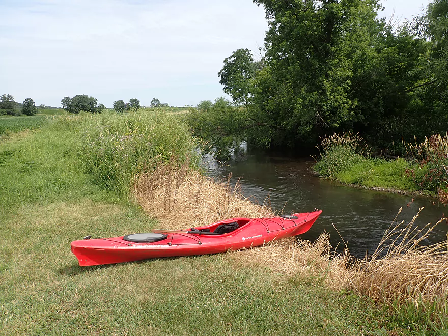
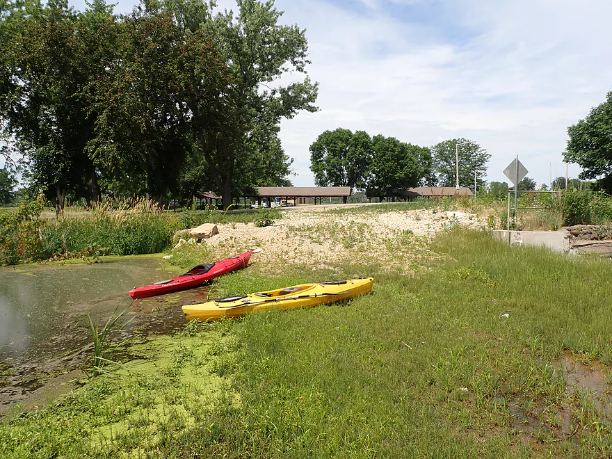
Put-in at Hwy A
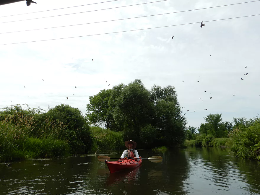
Huge swarm of swallows by the bridge
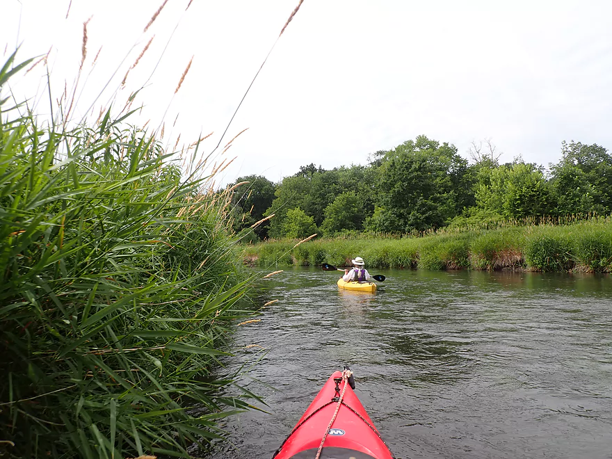
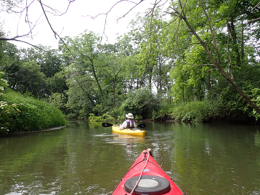
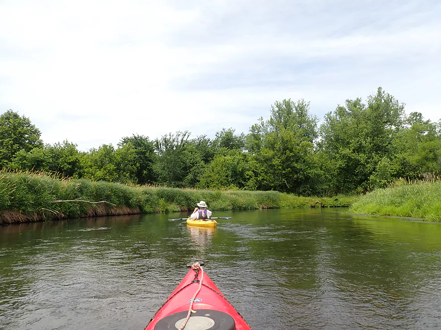
Current moves at a good clip
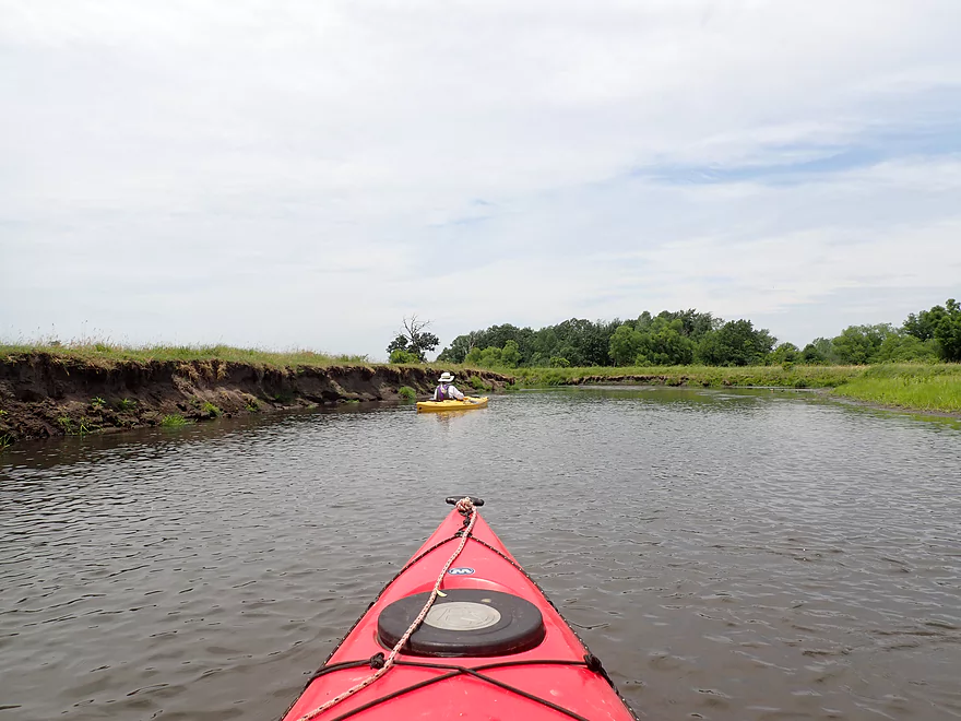
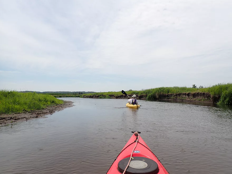
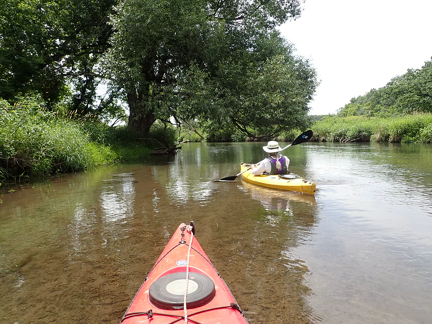
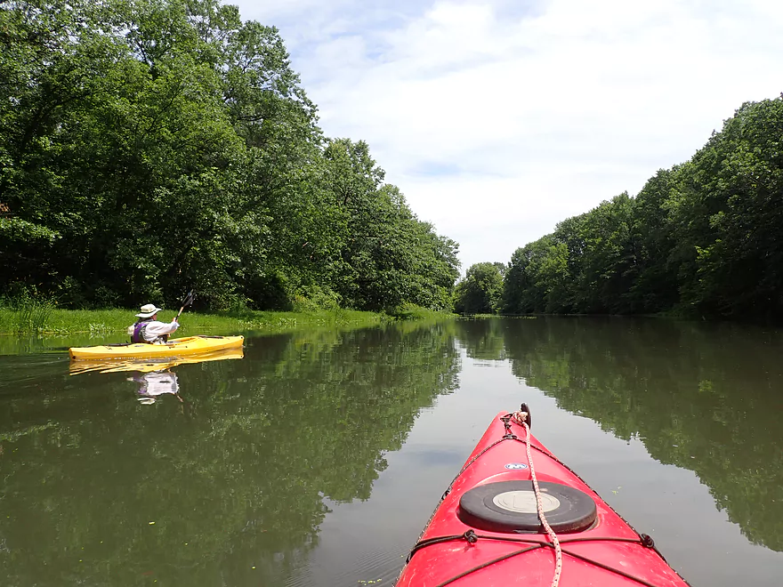
Scenic bend in the river
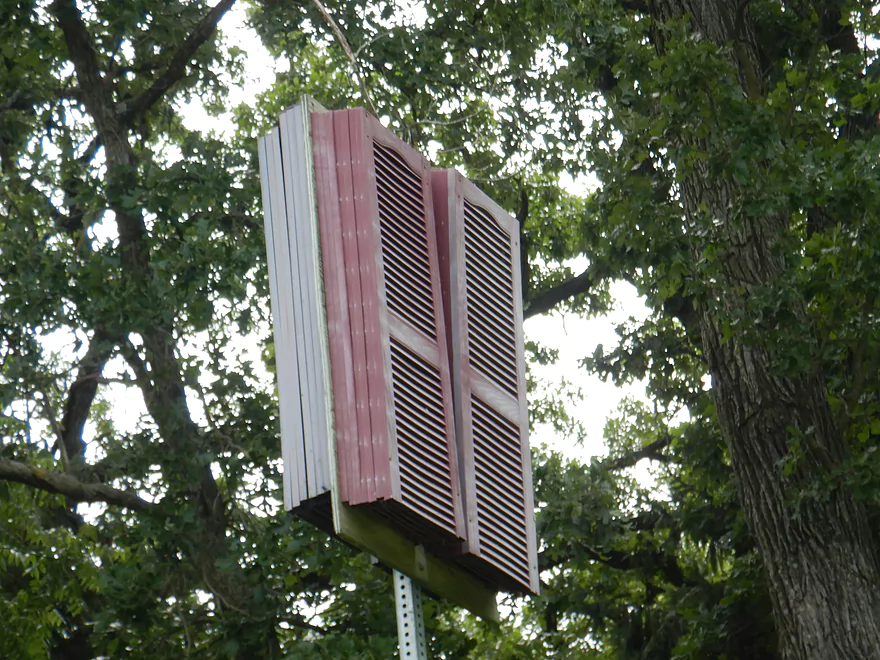
Maybe a bat house?
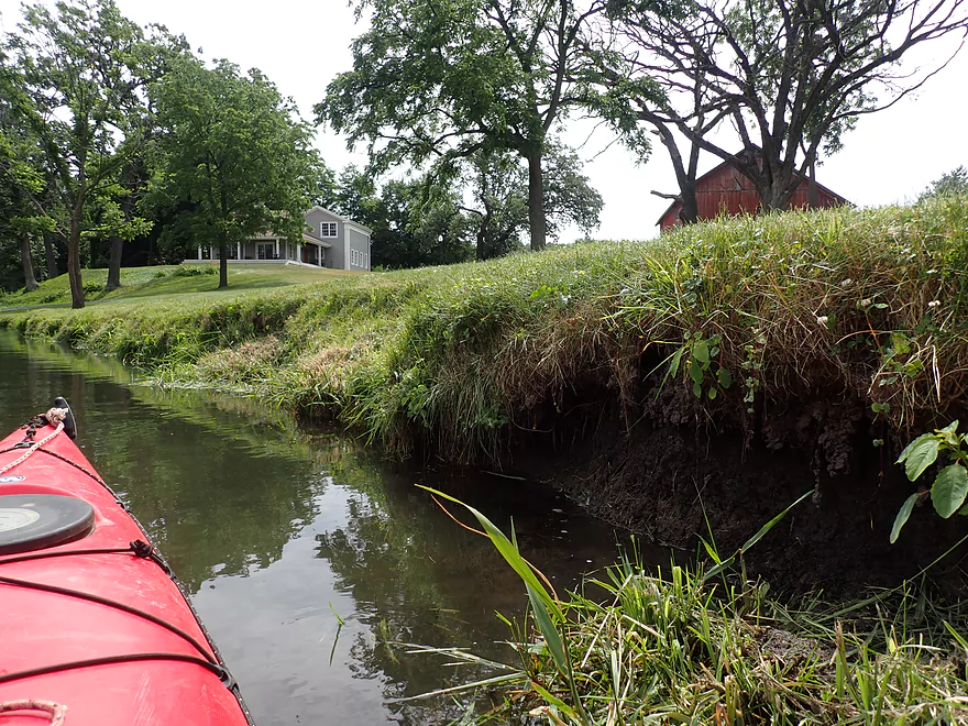
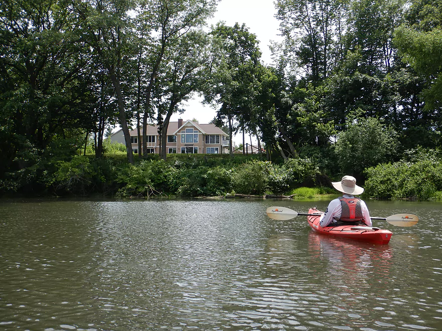
Lawn falling into the river
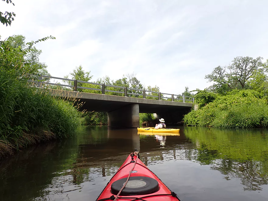
Frenchtown Road
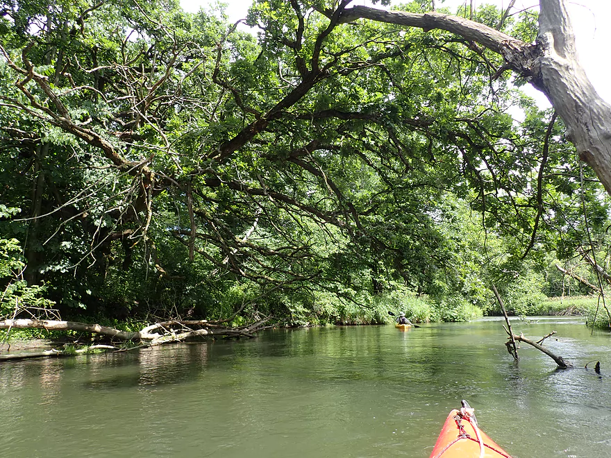
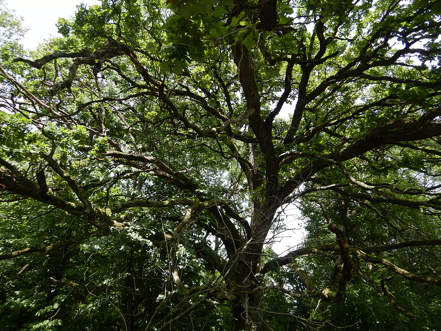
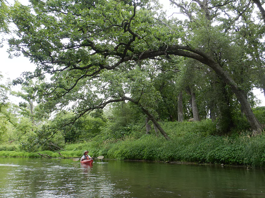
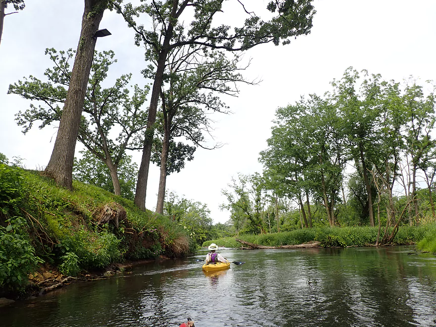
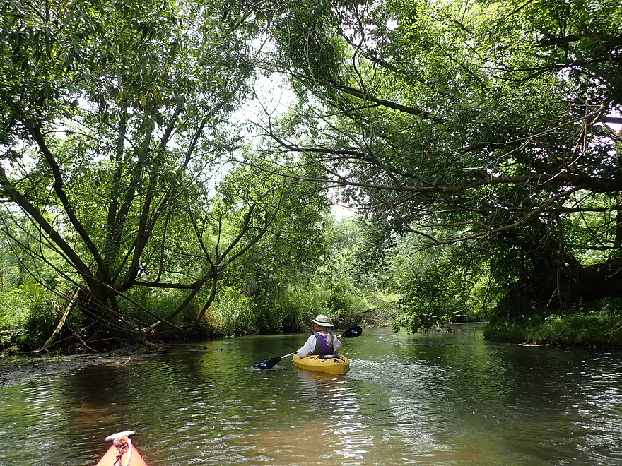
Another fantastic bur oak
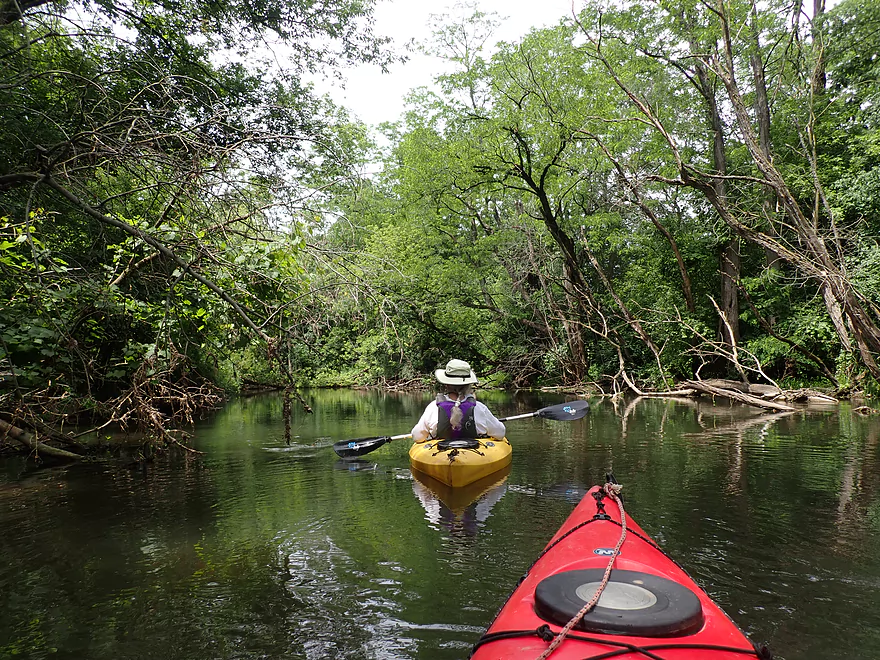
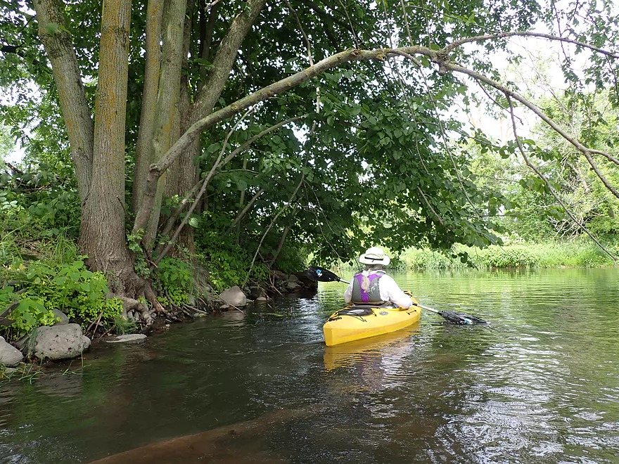
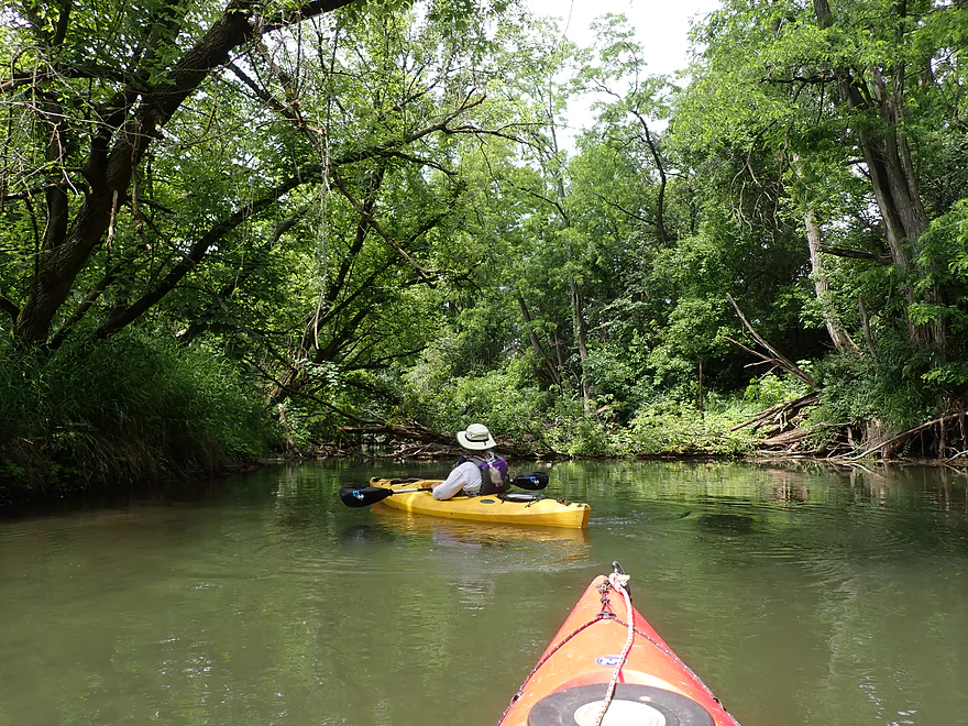
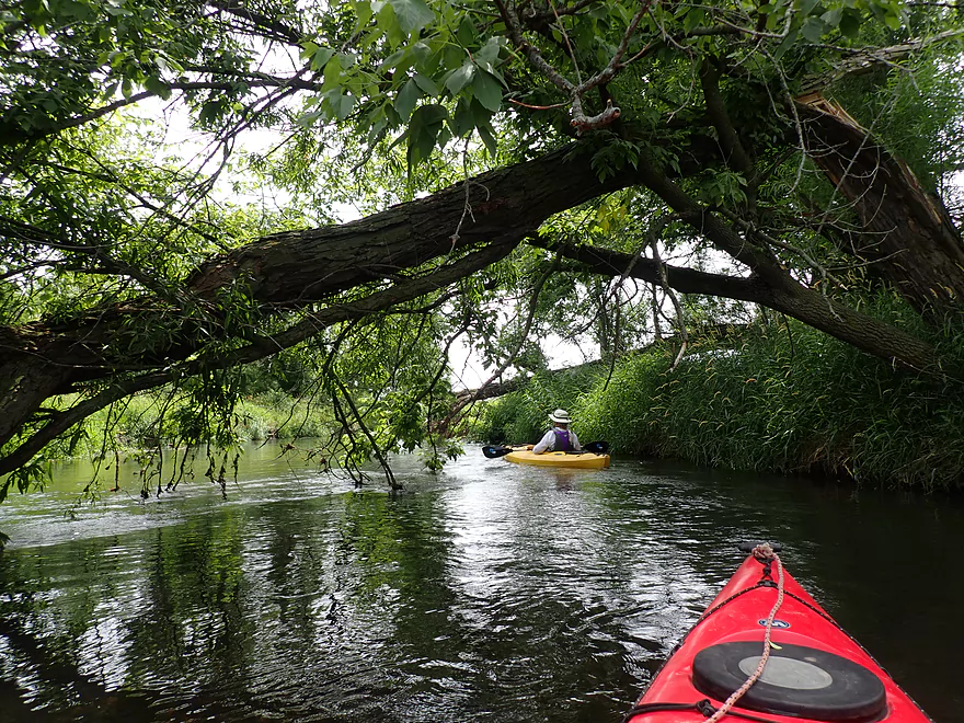
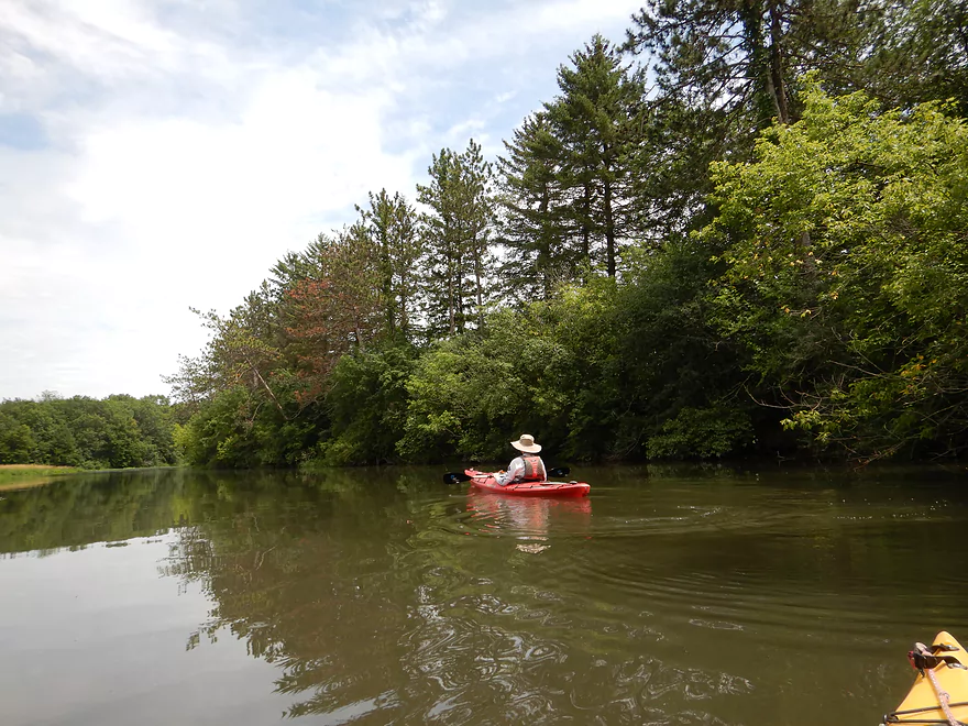
Scenic wooded stretch
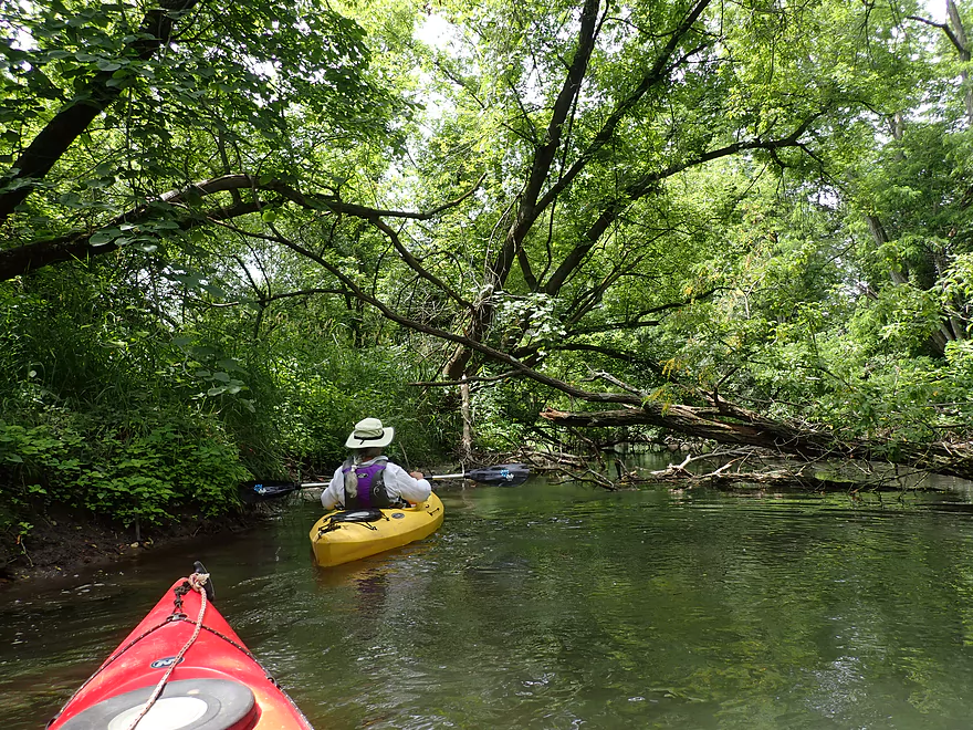
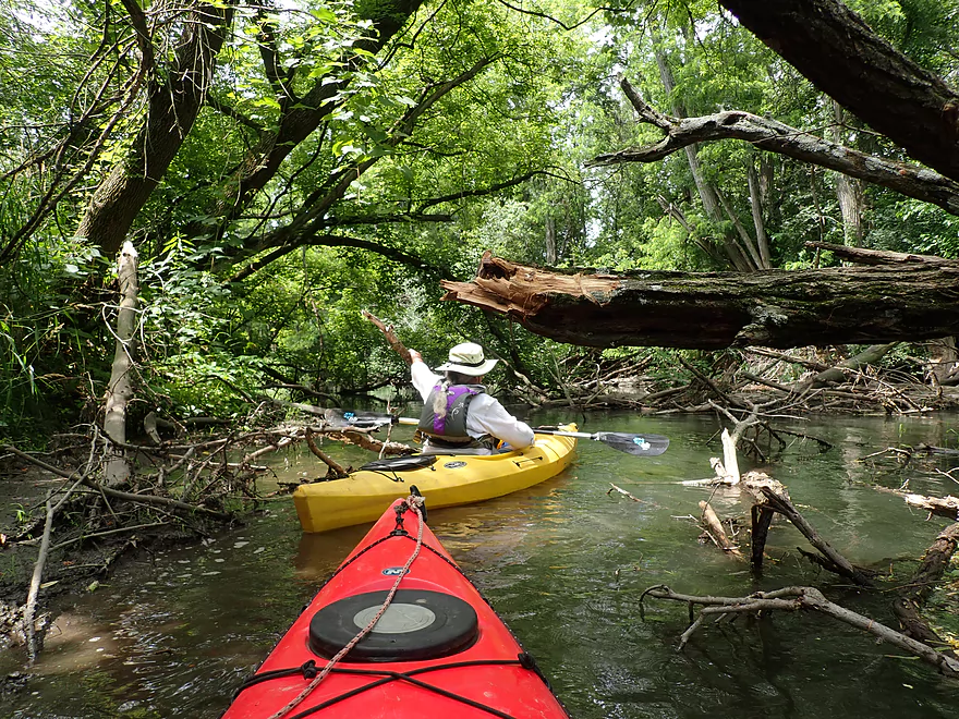
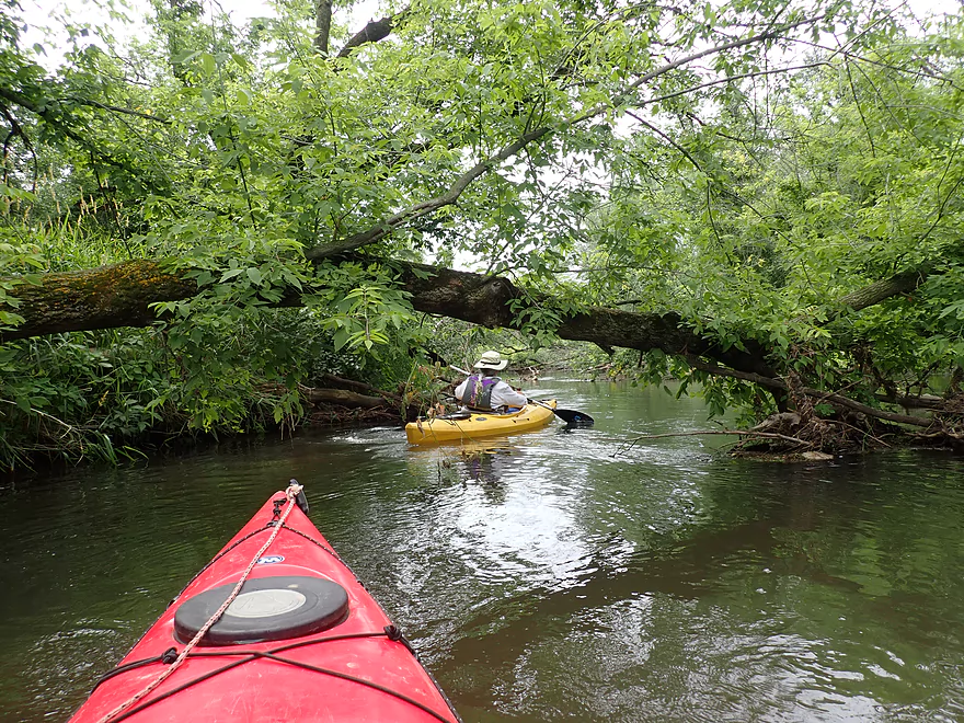
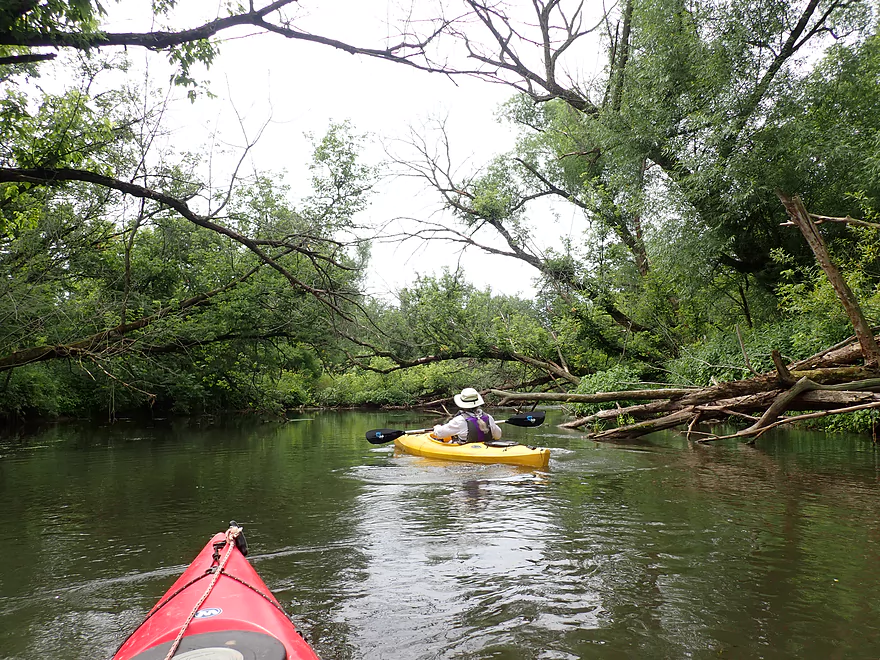
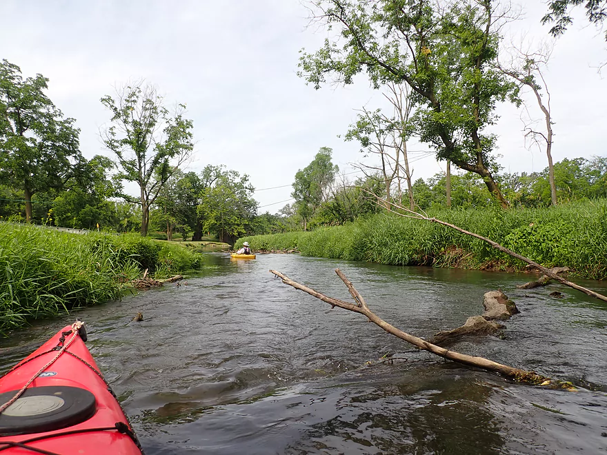
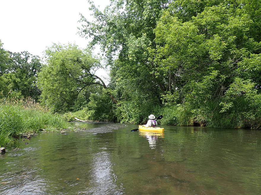
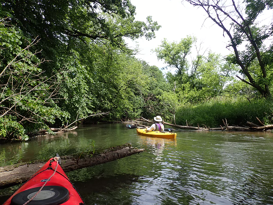
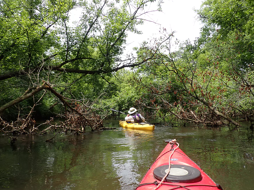
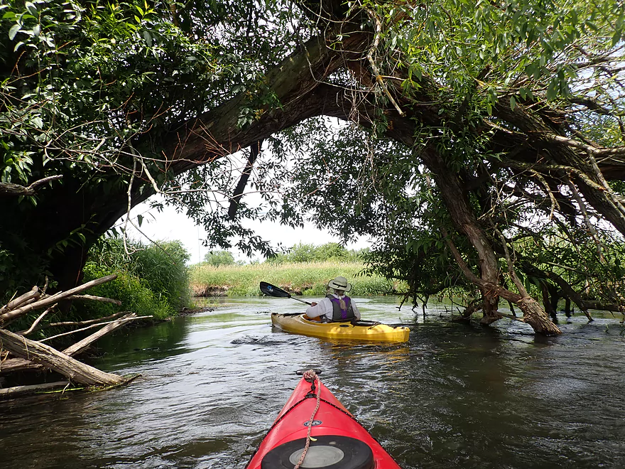
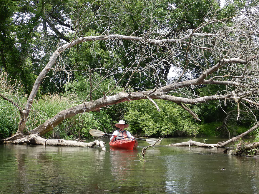
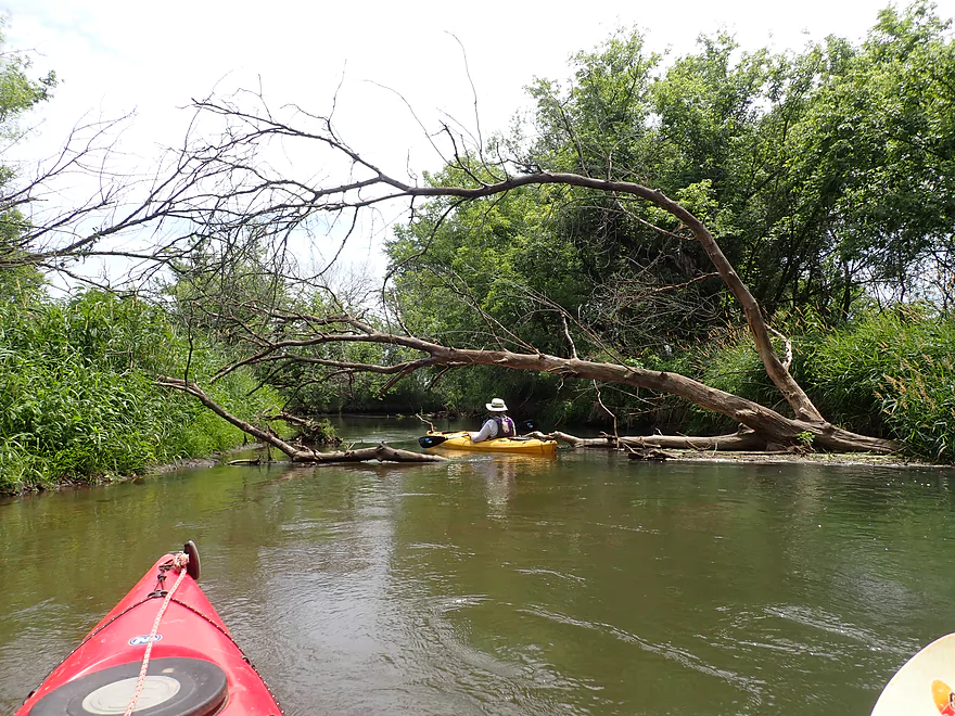
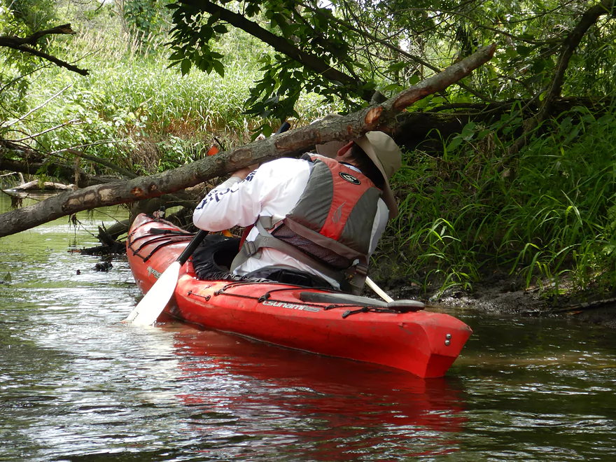
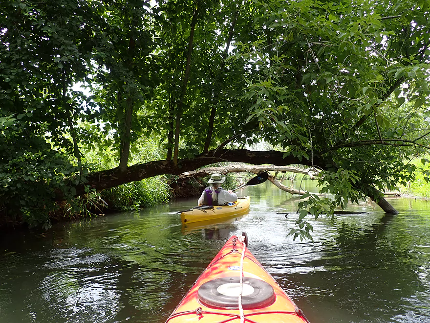
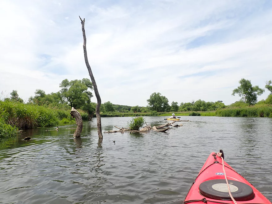
Some deadfall dodging, but no portages required
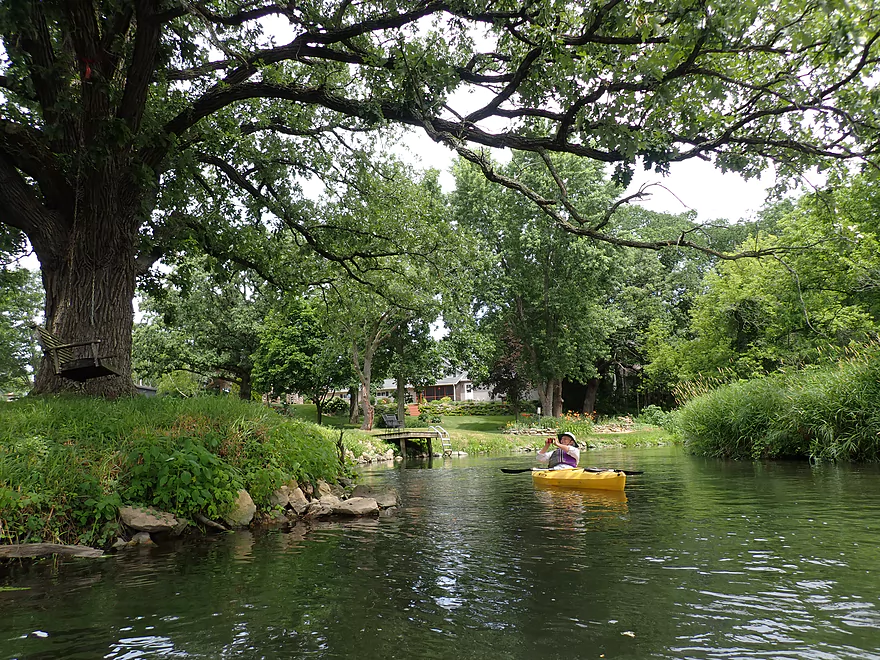
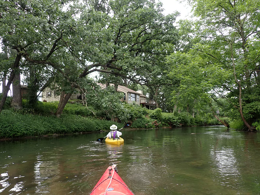
Nicely landscaped yard with a fantastic bur oak and inviting swing
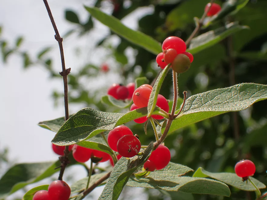
Bright red honeysuckle berries
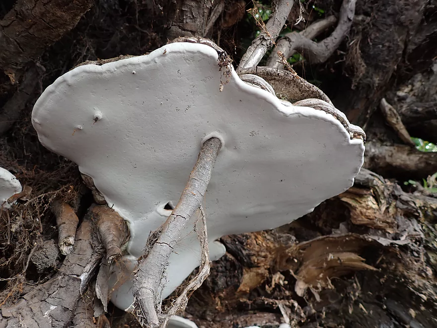
A bracket fungus growing around a stick
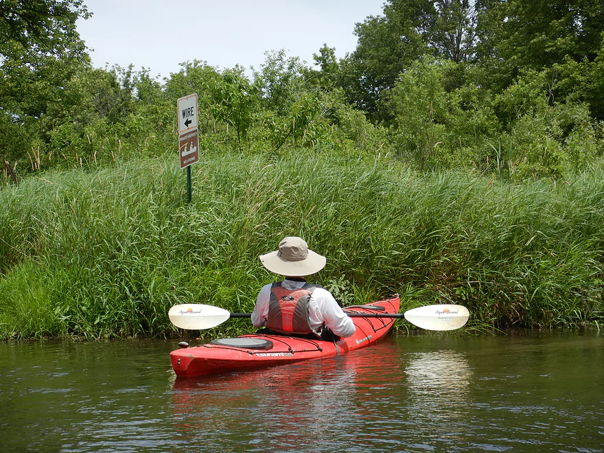
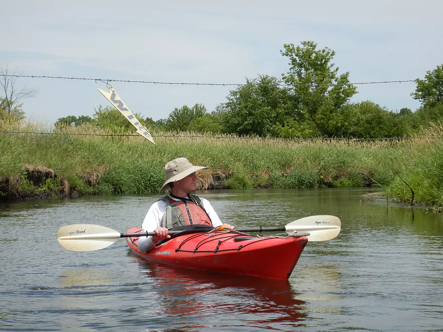
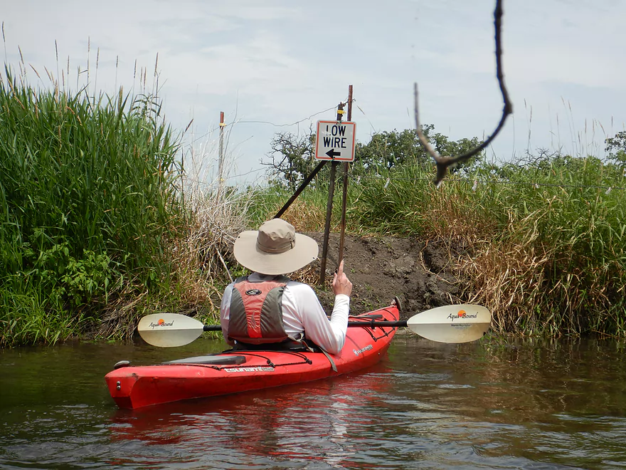
A sign for a wire…but no wire
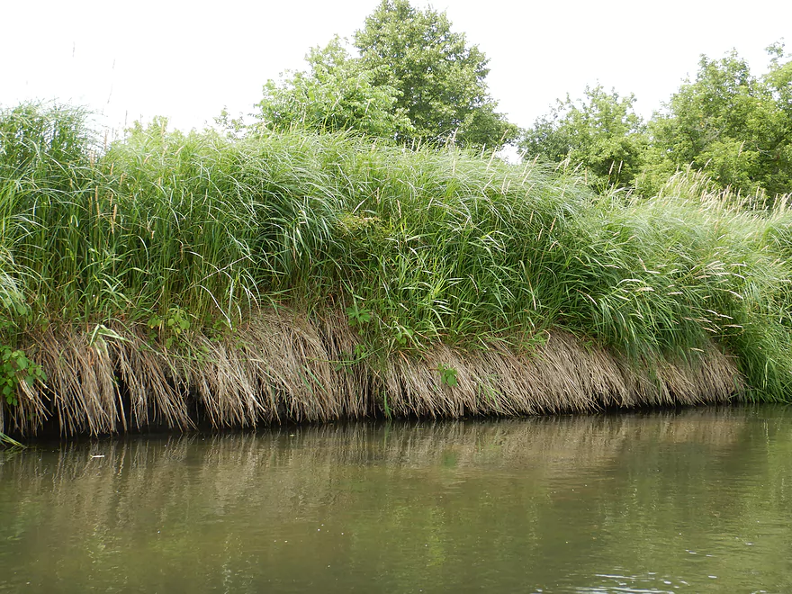
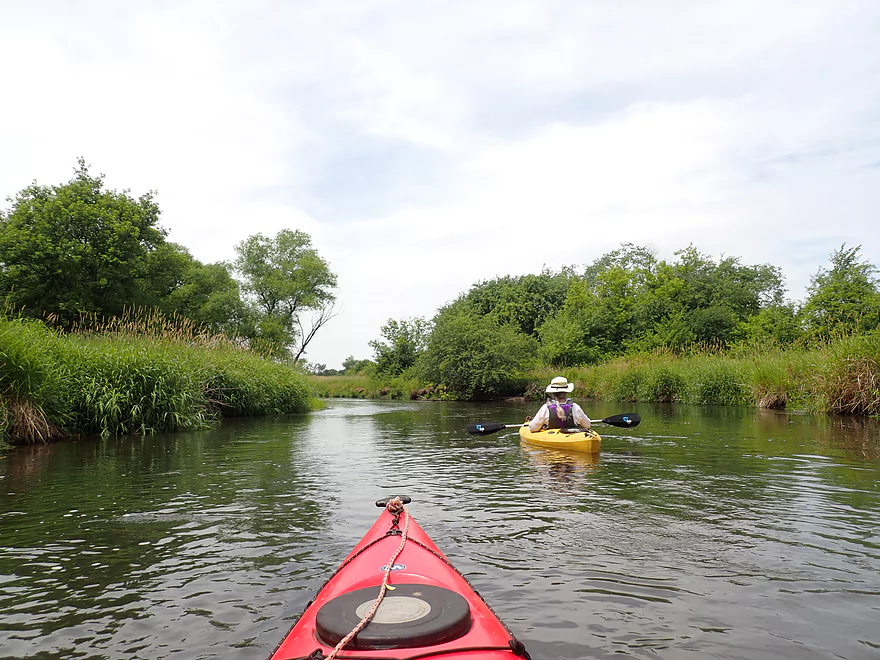
Invasive reed canary grass was everywhere
A lot of squirrel bridges on this trip
This time the sign was right (easy to get under)
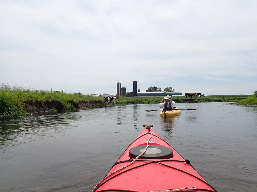
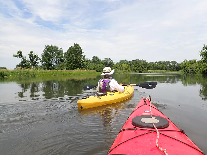
The river opened up at this point to reveal a large dairy farm
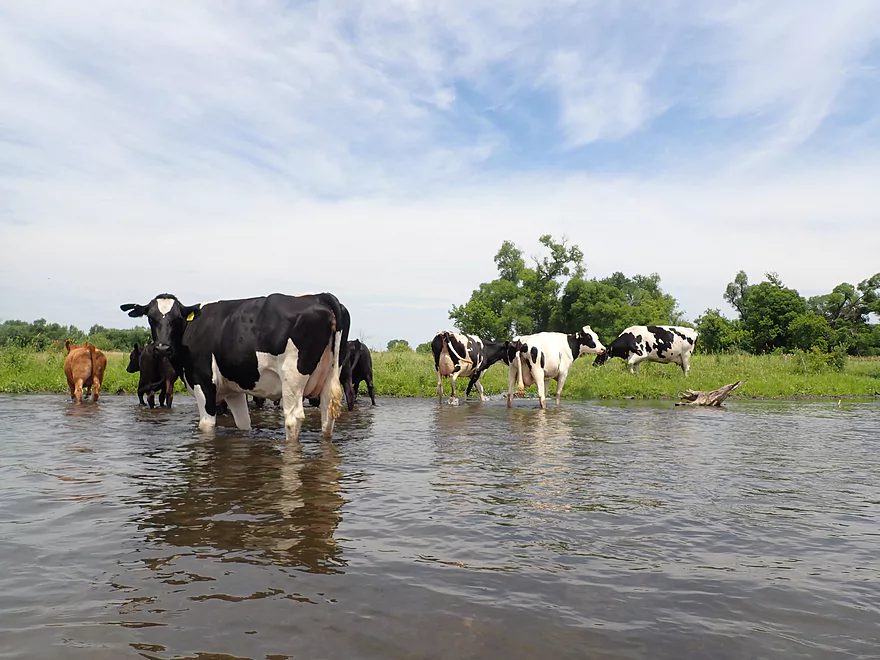
Cows in the water
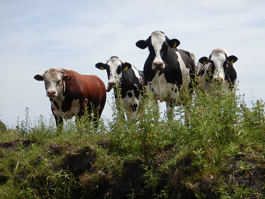
The red one that is drooling…that is a bull…very dangerous
After the farm, the river really widened and slowed
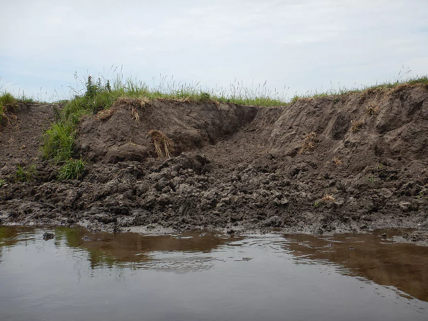
A lot of cow erosion
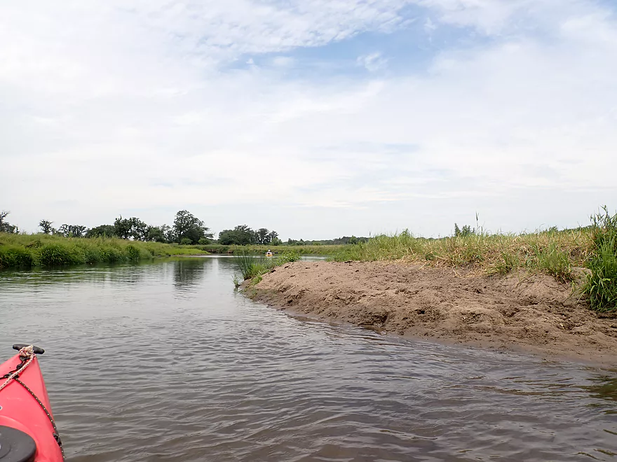
Mini sandbars
A second fence…we leave the farm behind
Tight fit
Some ok clarity in spots
Entering impounded waters from the Belleville dam
The west branch comes in here…poorly pictured
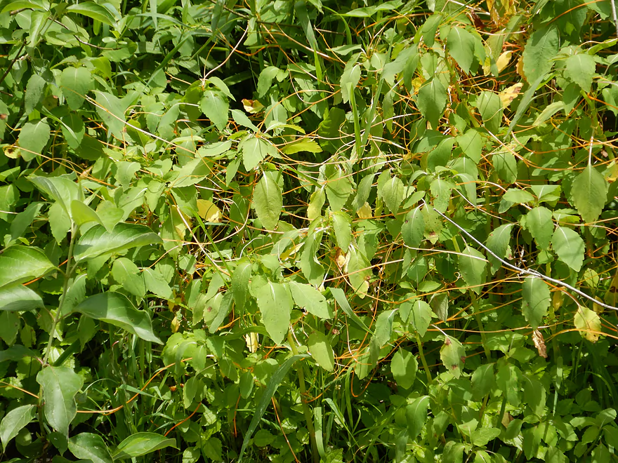
What looks like silly string is actually dodder, a parasitic plant
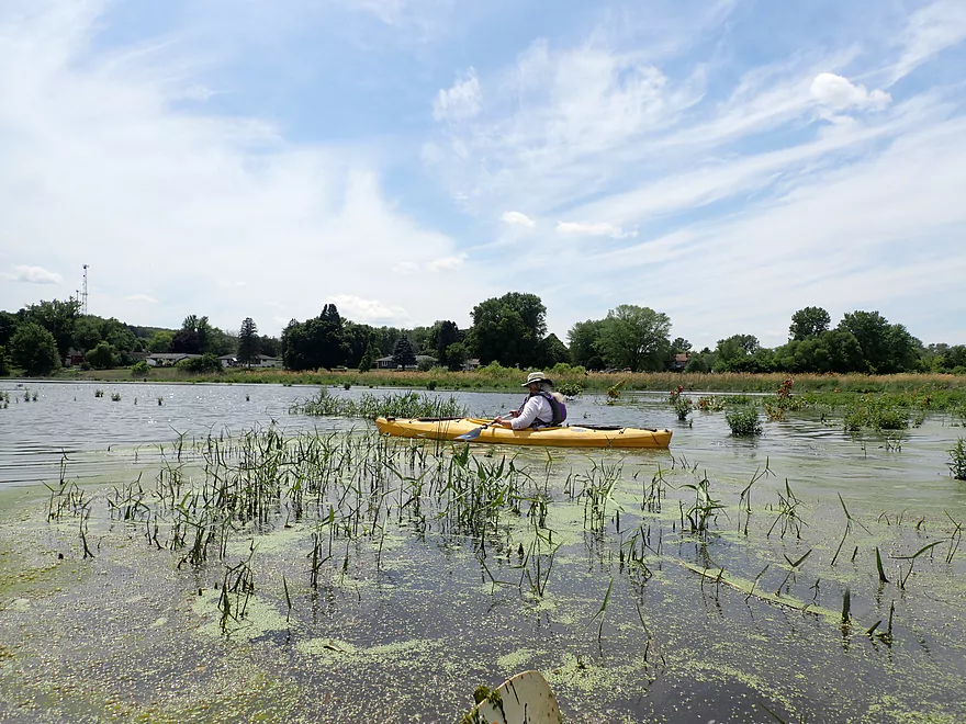
Zero current…this stretch was really boring
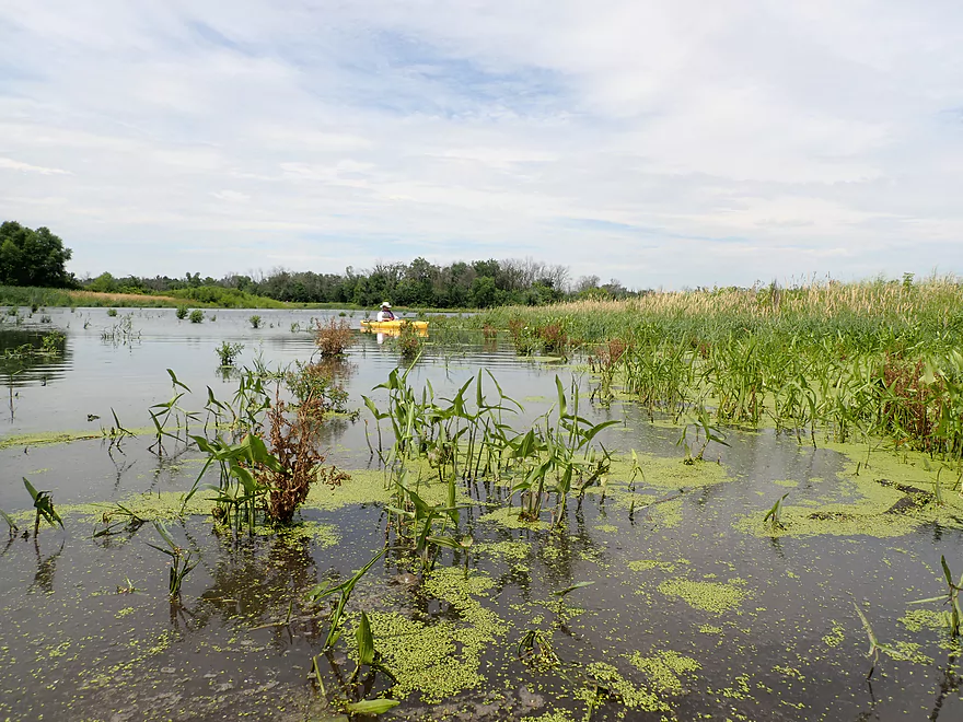
Nice marsh plants
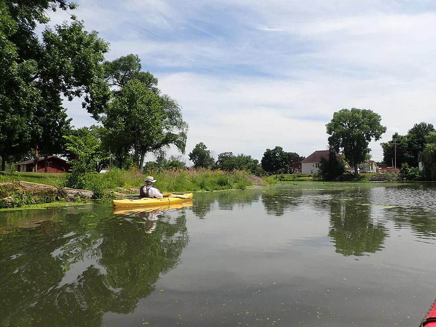
Coming up on Belleville Community Park
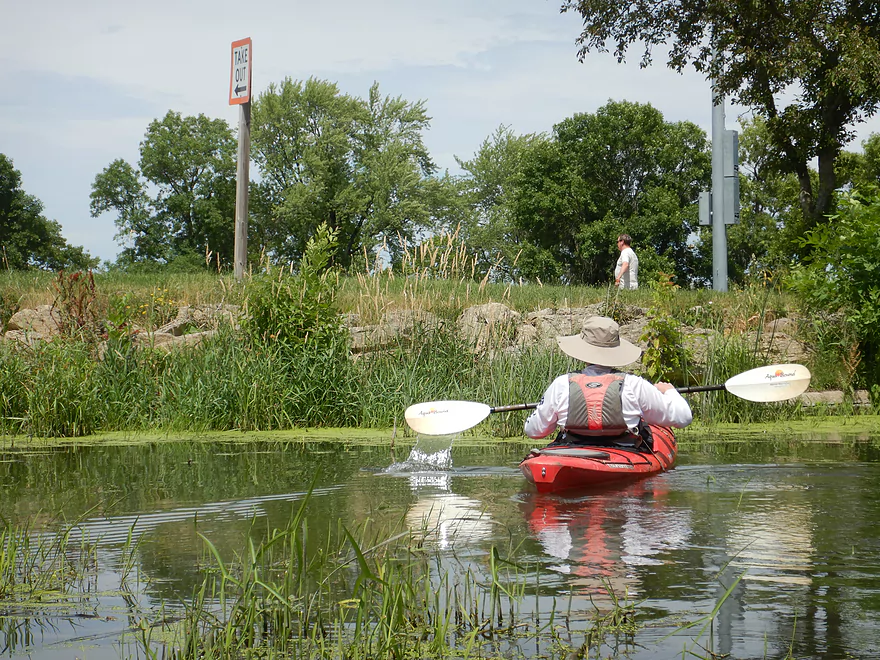
This take-out sign is deceptive
Taking out by the dam worked better
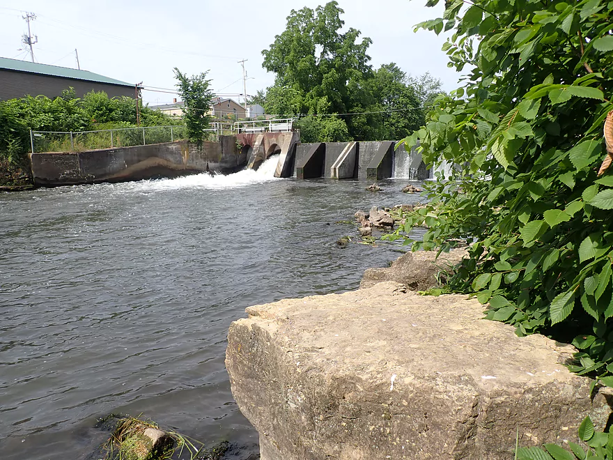
Picture of the dam
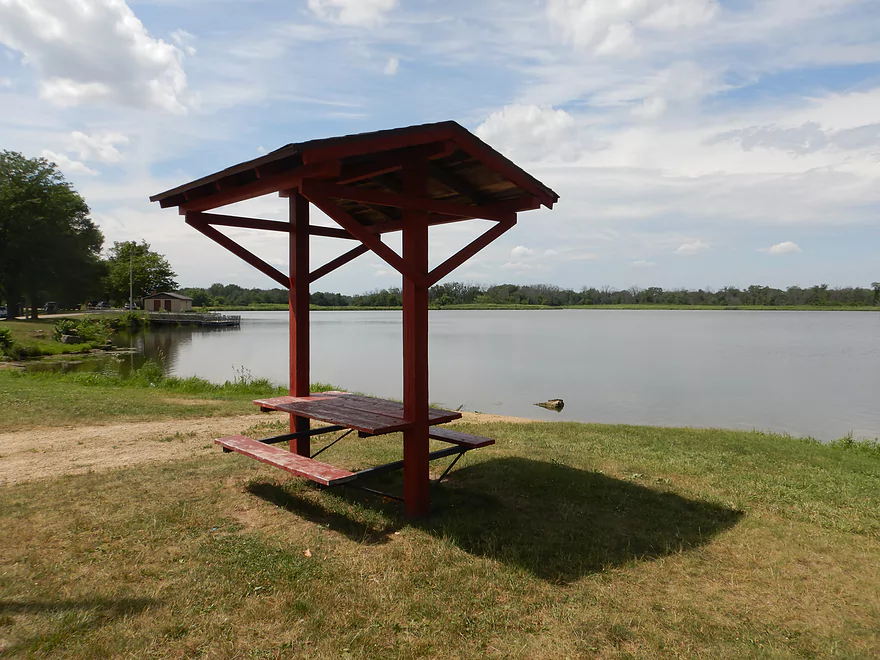
Lake Belle View is located on the other side of the park
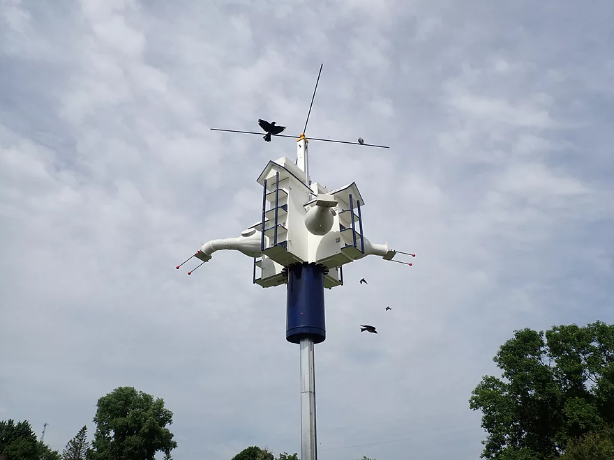
An upscale purple martin condo next to the river
Sugar River – Hwy A


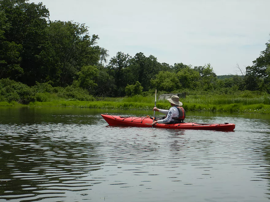
We started the trip at Hwy A which had a nice mowed access area. The first half mile was straight, open, and had fast current. This was followed by a scenic wooded stretch that contained several fantastic bur oak trees–always imposing with their huge horizontal branches that create “ceilings” over the water.
About a mile into the trip we passed under Frenchtown Road which is likely a viable access. Just don’t launch from the northeast corner where there is a No Trespassing sign. The following next mile was a mix of woods and weedy banks filled with invasive reed canary grass. There was some deadfall in the water, but we were able to get around most with little difficulty and never had to portage.
About halfway into the trip we passed under a wire fence and came into view of a farm. A local herd of cows was loitering on the shore and in the river. Unfortunately this included one bull. Bulls (unlike cows or steers) can be very dangerous. This one just drooled and glared at us, as we floated by.
The river after the farm became significantly less interesting. Farm erosion was part of this. The nice glacial gravel bottom was replaced by silt and mud. The shoreline was degraded and “bled” mud directly into the river. Unfortunately we also lost our good current. From here on the river crawled at a frustratingly slow pace and soon stopped courtesy of the Belleville dam.
The flowage had actually been drawn down recently for dam repair after record flooding that occurred in 2018. I had hoped it would have stayed down for our trip, but that wasn’t the case. The backup kicked in very early (about 2 miles? above the dam) and we spent an interminable amount of time inching over the slow water.
The West Branch of the Sugar merges along the flowage and doubles the size of the river. Things still stay boring though as the impounded stretch averaged 4-5′ deep and was filled with flakes of algae.
Just prior to the Belleville dam, you may see pets and people walking on a trail to your left. This popular trail extends for quite some distance over an isthmus and through a woods
We ended the trip at the Belleville Community Park which was a nice area. North of the park (and not connected to the Sugar) is Lake Belle View where we saw several kayakers. I actually suspect this lake might be more popular with paddlers than the river stretch we did.
In summary this was a trip that started nice, but had a super boring ending. This was unfortunate as the Sugar River downstream from Belleville and upstream by Paoli is actually really nice. If you’re new to Sugar River paddling, I advise starting with those legs first.
Sights included some herons, two bald eagles, many killdeer, some beaver sign, and a number of splashing fish.
Hwy A: This was a nice bridge access. The northwest bank has been mowed and is a good area for launching.
Belleville Community Park: This is a public park and good access. You can take out at the west end or the south end by the dam. Public parking and outhouses are available.
Bike Shuttle – Belleville Community Park to Hwy A: 3.7 miles with 46′ of ascent. Bikers can avoid busy Hwy 69 by taking the Badger State Trail that parallels to the road. Doing a kayak shuttle on a dedicated bike trail is always a treat, but remember to purchase your state trail pass beforehand.
Kayak Shuttle/Rental – Sugar River Outfitters: This is a nice rental/shuttle option that services the Upper Sugar. Note, they recently cut back on their hours so be sure to call ahead to ensure availability: (608) 692-7910.
Logjams: There were no logjams that had to be portaged, but a few required some ducking/hopping to get past.
Current: The upper portion of the trip was pretty fast with a number of light riffles, while the second half of the trip was pretty slow.
Strainers: In several cases there was pushy current by low hanging branches. This was manageable at our 56 CFS depth, but at high depths this could become annoying and perhaps a little unsafe.
Fences: There were two fences on the trip, but they were well marked and fairly high up. I didn’t even need to duck for either.
Bulls: Marked on the trip map is a section of the river where the local farmer allows cows to hang out up to and in the river. This includes a teenage bull who can be dangerous. He just glared at us while we passed, but paddlers should be extremely careful and keep a lot of distance between themselves and a bull.
There is a gauge upstream at Verona. We did the trip at 56 CFS.
- 0-20 CFS: A typical fall average. There may be some shallow riffly sections, but the river should still be navigable.
- 21-50 CFS: A typical summer average. A good depth.
- 51-90 CFS: Above normal depth, but plenty fine.
- 91-130 CFS: Also above normal depth, but should be fine.
- 131-200 CFS: A high depth. Water clarity will not be as good and the current could get pushy. Likely a doable depth but be careful.
- 201+ CFS: A very high depth. Likely only suitable for very adventurous paddlers.
Detailed Overview
- Upstream of Hwy PD: Likely too many logjams.
- Hwy PD to White Crossing Road: (0.4 miles) Mostly straight and likely channelized. Perhaps a few logjams. Could be a tight fit during low water.
- White Crossing Road to Valley Road: (4.9 miles)
- White Crossing Road to Bobcat Lane: (2.2 miles) Open, straight and channelized…this is a simple but pleasant paddle with frequent vistas of Epic Systems (at the edge of Verona). There are a few logjams here that can be hopped over in high water.
- Bobcat Lane to Valley Road: (2.7 miles) Slower, twistier and more wild than the upstream section, but less interesting. No noteworthy logjams.
- Valley Road to Riverside Road: (1.8 miles) There might be a logjam or two, as well as a problematic cattle fence.
- Note from Wade at Uppersugar.org: “The fence has been redesigned to be more paddling friendly. Both sections of the fencing now have a gap with vertically hanging PVC pipes that boats can pass through. It’s my understanding that this has worked well, but if you go down the river and have a different experience, please let me know.”
- Riverside Road to Hwy 69: (1.6 miles) There were fences and logjams here, but I think they have been cleared out.
- Hwy 69 to Hwy A: (7.7 miles)
- Hwy 69 to Paoli (Montrose Town Hall): (3.5 miles) Fantastic section.
- Paoli to Hwy A: (4.2 miles) Good section….but not as scenic as the previous leg.
- Hwy A to Belleville Park: (6.6 miles) Trip starts nice but becomes less interesting at the end by Belleville where the river is impounded by a dam.
- Belleville Park to Exeter Park: (4.8 miles) Nice paddle with scenic put-in and take-out. Highlights include a few sand and gravel bars and an attractive wooded section with good current.
- Exeter Park to Hwy X: (5.4 miles) A good prospect.
- Hwy X to Hwy C (Attica): (5.0 miles) A simple leg. There is nothing really scenic about it...but it's not a bad paddle.
- Hwy C to Hwy EE: (6.4 miles) A mediocre prospect. Maybe logjams.
- Hwy EE to Albany Boat Ramp: (2.5 miles) A weak prospect because of the lake paddling.
- Albany Boat Ramp to Decatur Albany Road: (2.9 miles) A weak prospect.
- Decatur Albany Road to Decatur Park: (4.5 miles) A weak prospect with some flowage paddling.
- Decatur Park to Hwy F: (2.2 miles) Good prospect.
- Hwy F to Clarence Bridge Park: (4.6 miles) Good prospect with an exposed rock outcrop.
- Clarence Bridge Park to Hwy T: (5.9 miles) A good prospect.
- Hwy T to W. Beloit Newark Road: (1.9 miles) A good prospect.
- W. Beloit Newark Road to Nelson Road Boat Ramp: (4.6 miles) Avon Bottoms Wildlife Area is probably nice but there might be some downed trees to negotiate.
- Nelson Road Boat Ramp to Haas Road: (6.6 miles) Good prospect.
- Haas Road to North Street: (4.1 miles) Good prospect.
- North Street to Harrison Road: (5.0 miles) Good prospect which ends at the Pecatonica River.
Trip Map
Overview Map
Video
Photos Size: