
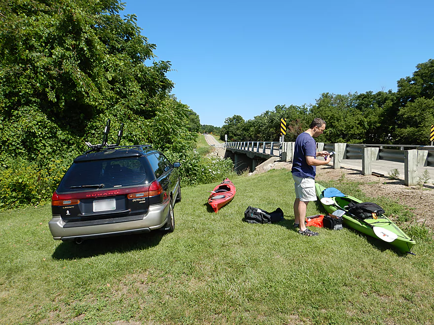
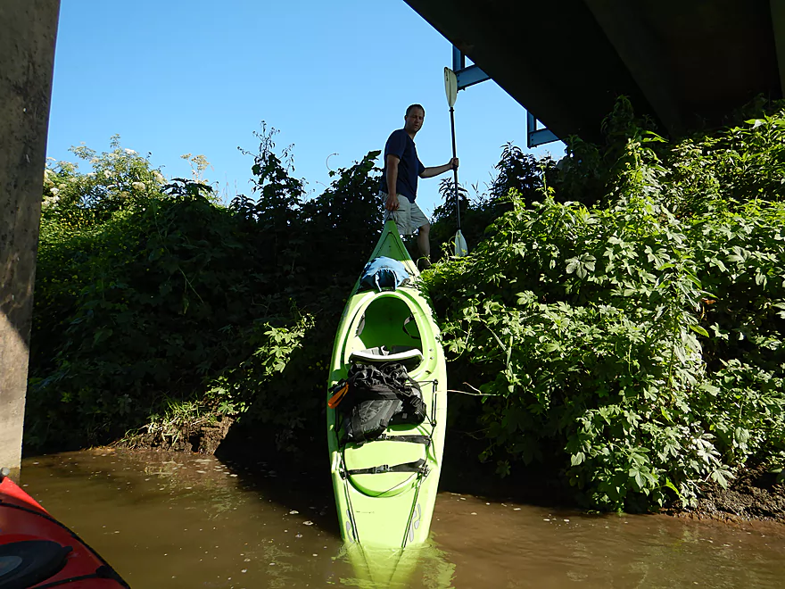
Decent access at Hwy O
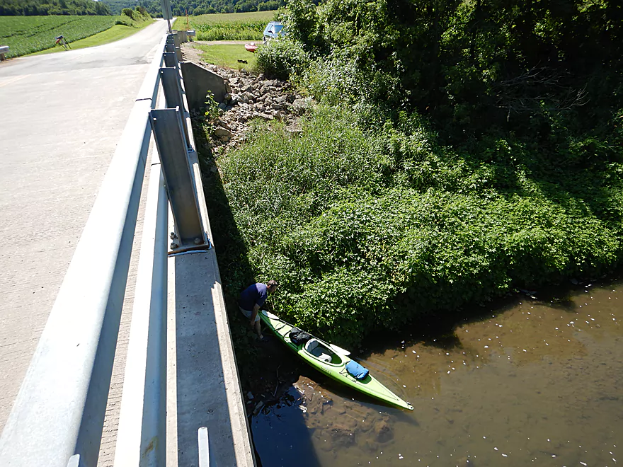
Although some rocks to clamber over
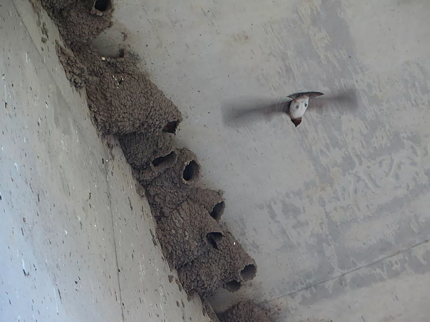
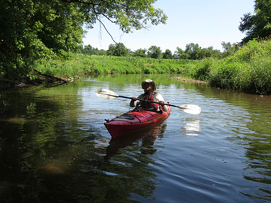
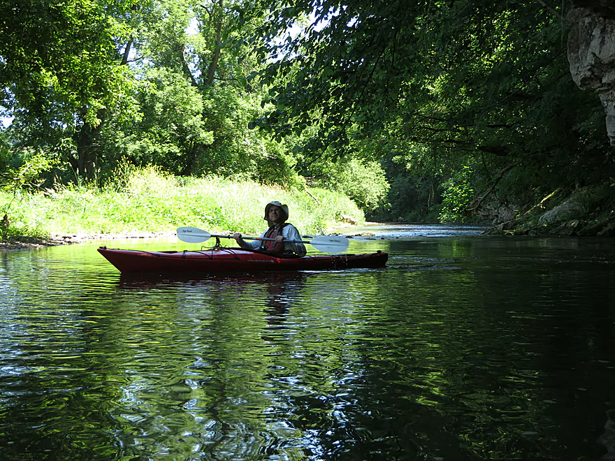
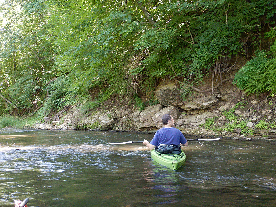
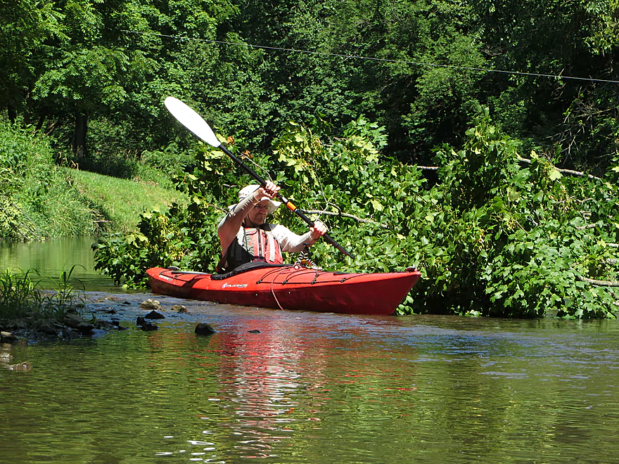
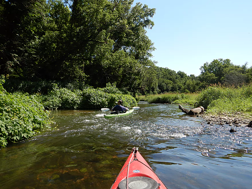
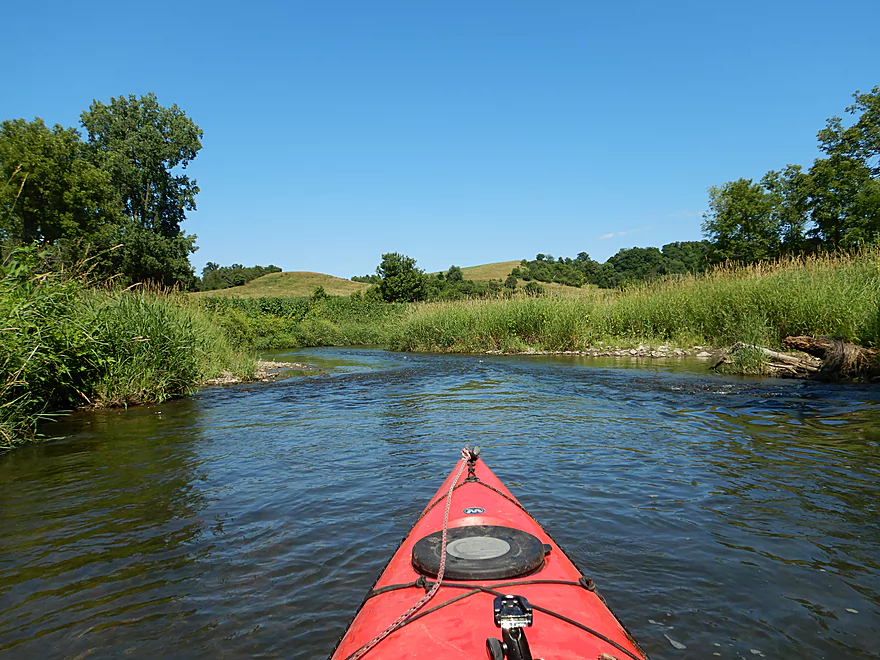
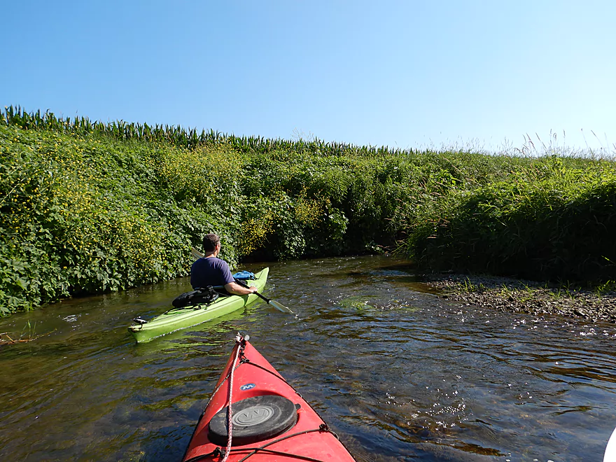
Coming in for a fast landing
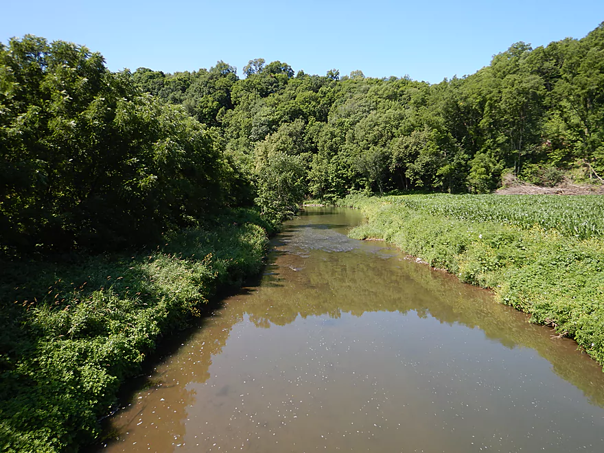
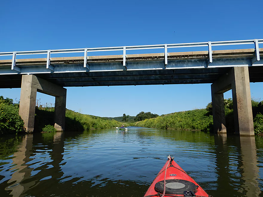
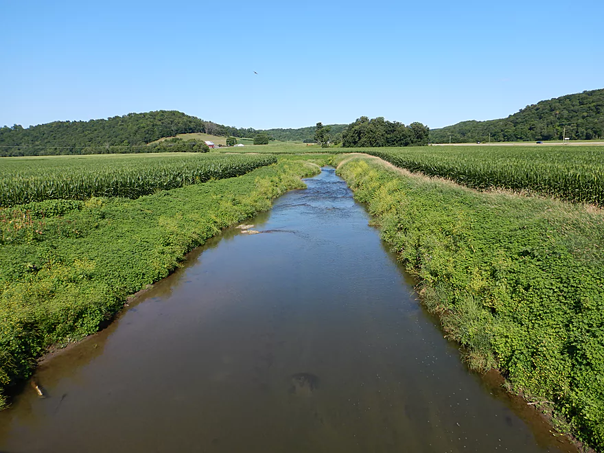
Looking downstream from the bridge
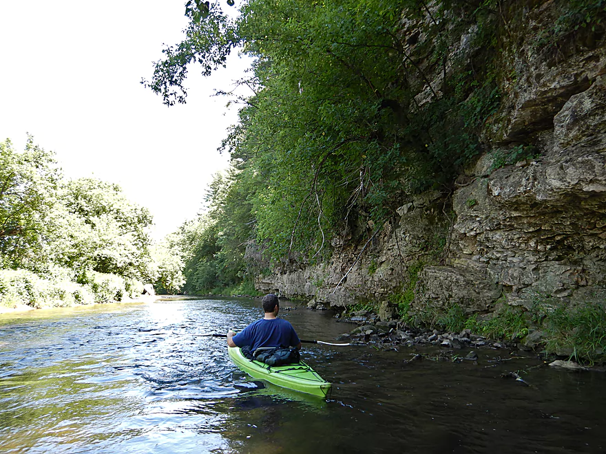
The first of the limestone outcrops
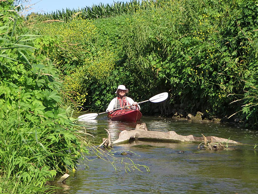
Cool fern sandwich
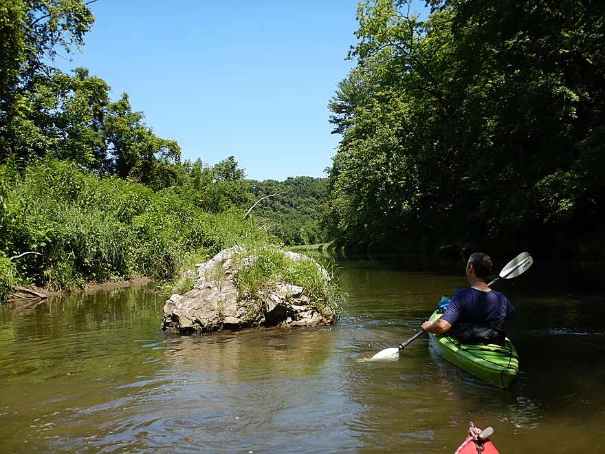
One of several large islands on the river
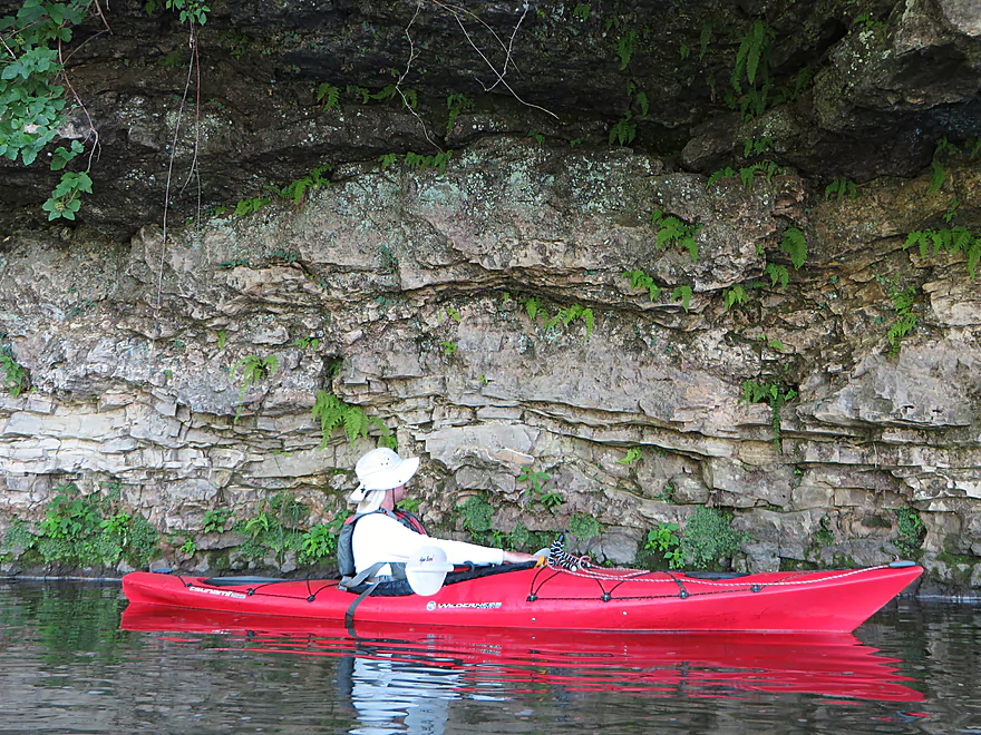
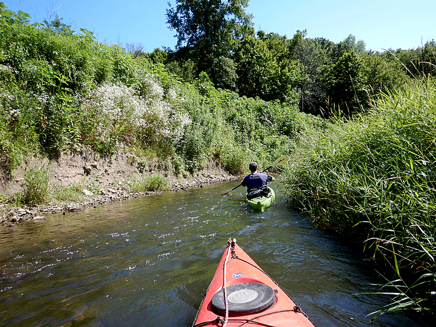
Adds character to the trip
The Little Platte does have a nutrient issue
One of only two homes we saw
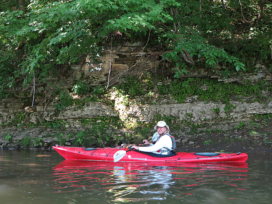
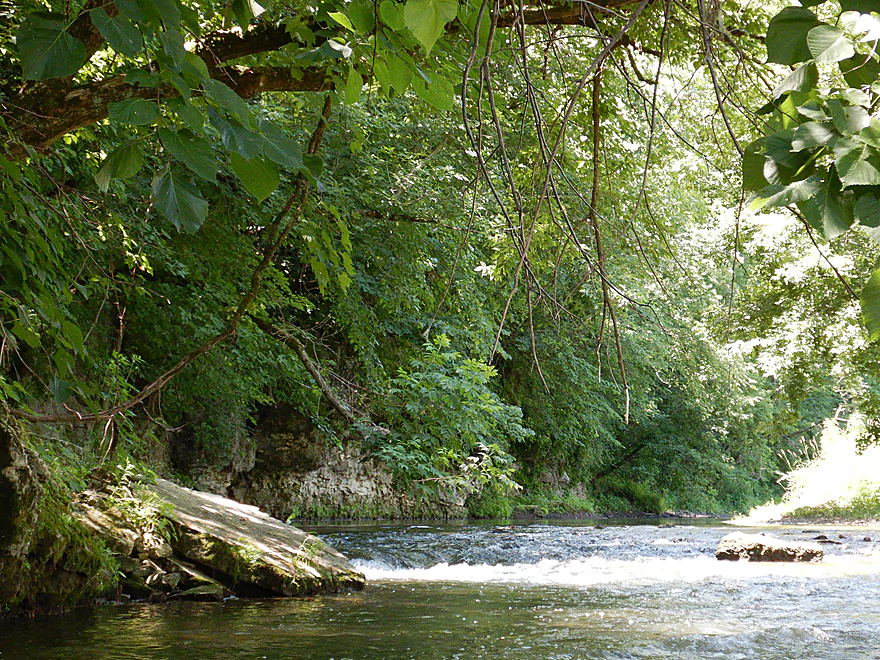
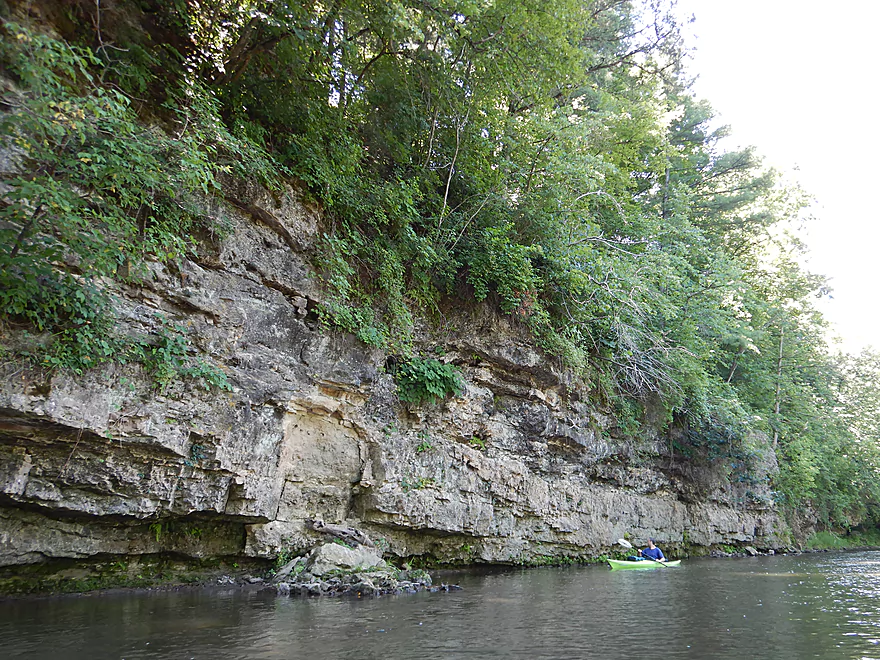
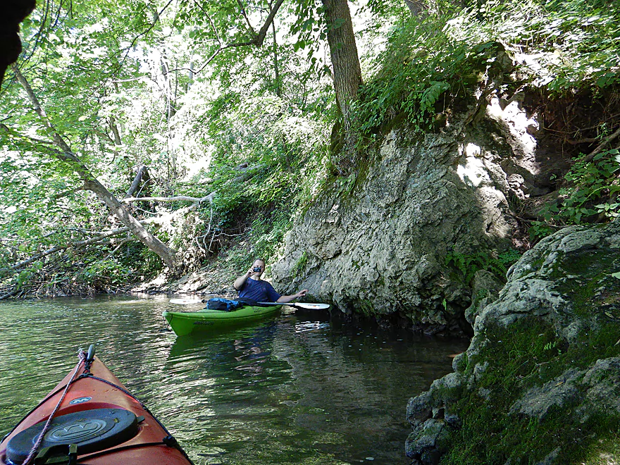
One of the nicer outcrops
Great texture
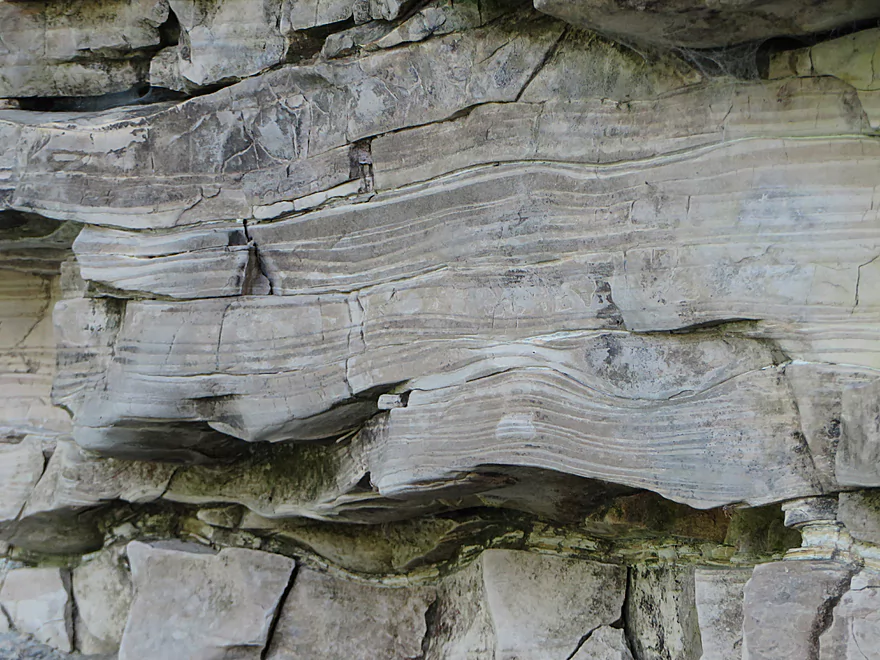
Interesting warping
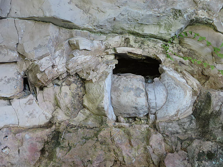
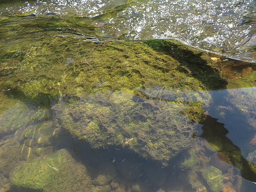
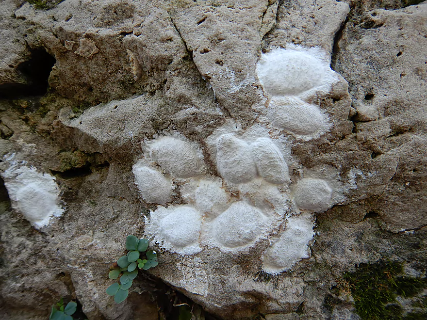
A stromatolite! (fossilized algae ball)
Reverse view
Coming up on a fun ledge
Which I ran twice
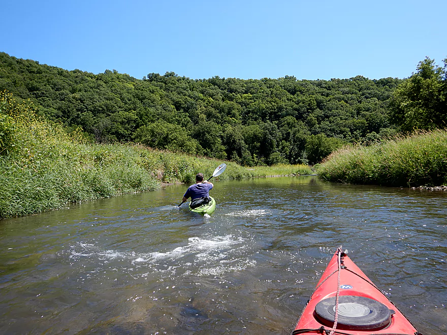
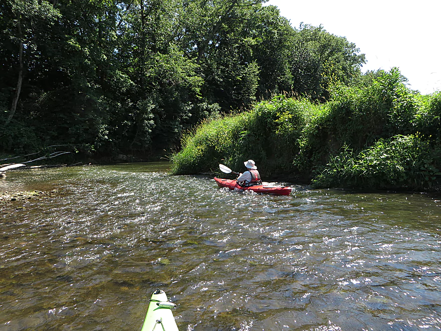
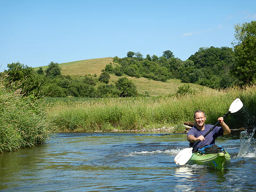
Very scenic
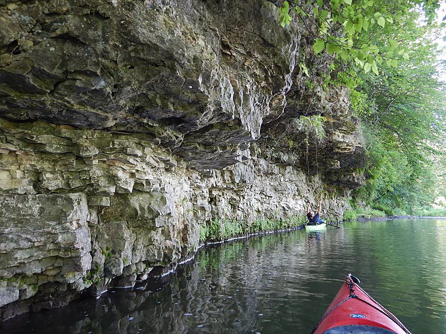
Another long limestone wall
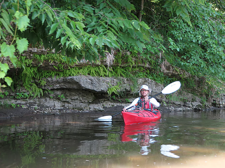
Reverse view
An escapee
We saw this truck two years ago…about five miles upstream and on land
See if you can spot the owl
Could be an issue in high water
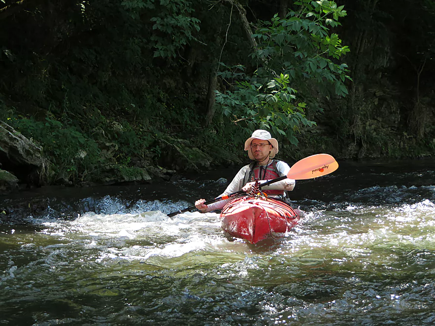
This is a fast stream
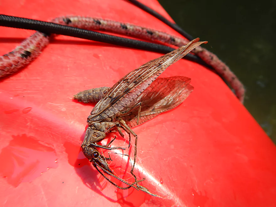
Dobsonfly or fishfly…huge and alien looking
Paddling around another island (go right to see the outcrop)
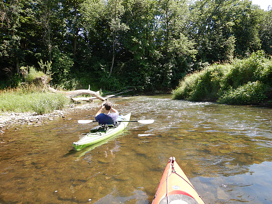
This was a shallow trip
One of many great driftless vistas
Boulders starting to get bigger
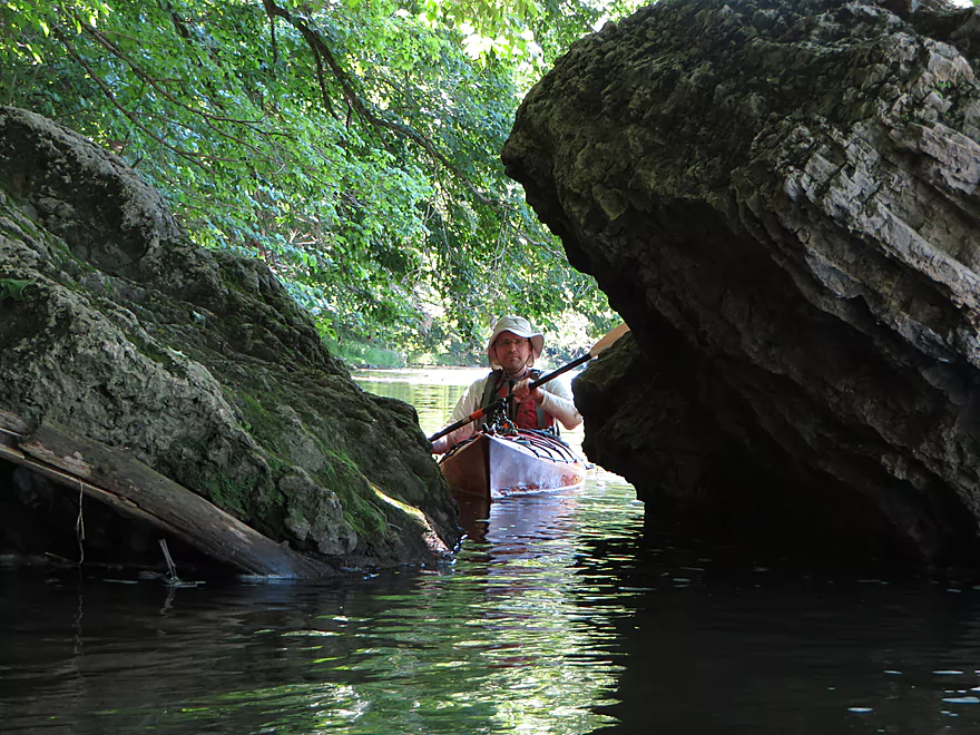
Just big enough to fit through
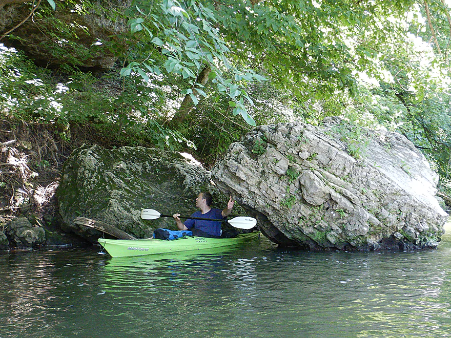
Really cool…likely used to be an overhang
Many, many dobsonfly eggs on the trip
Paddling along a long bluff
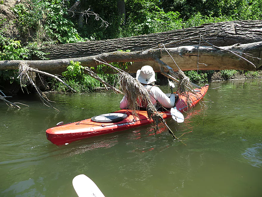
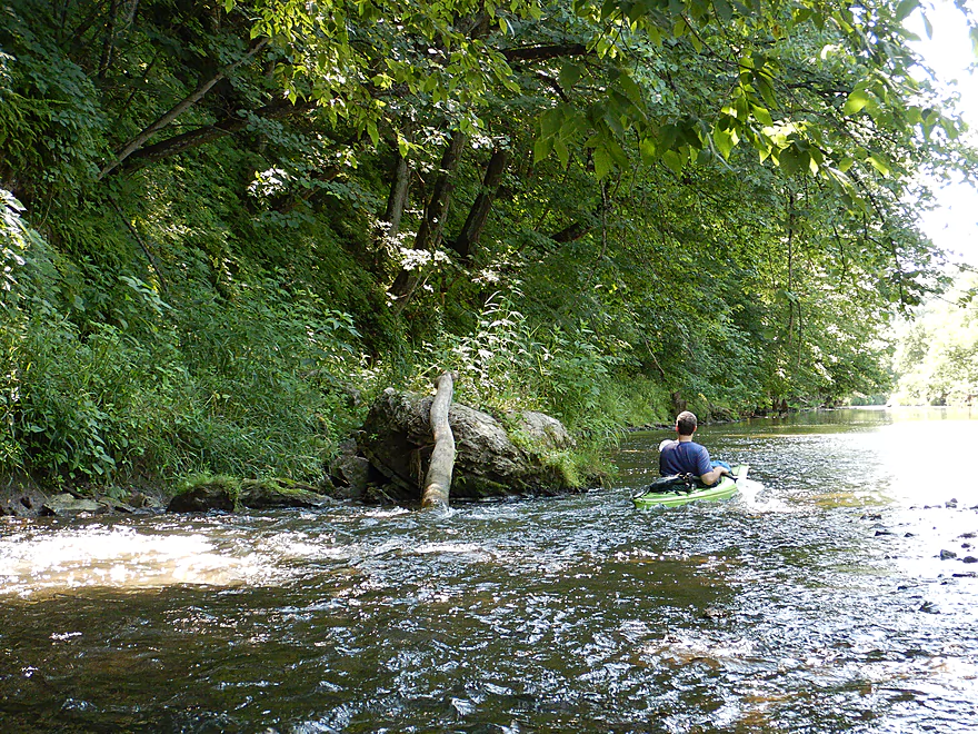
Only major logjam…easy to paddle around
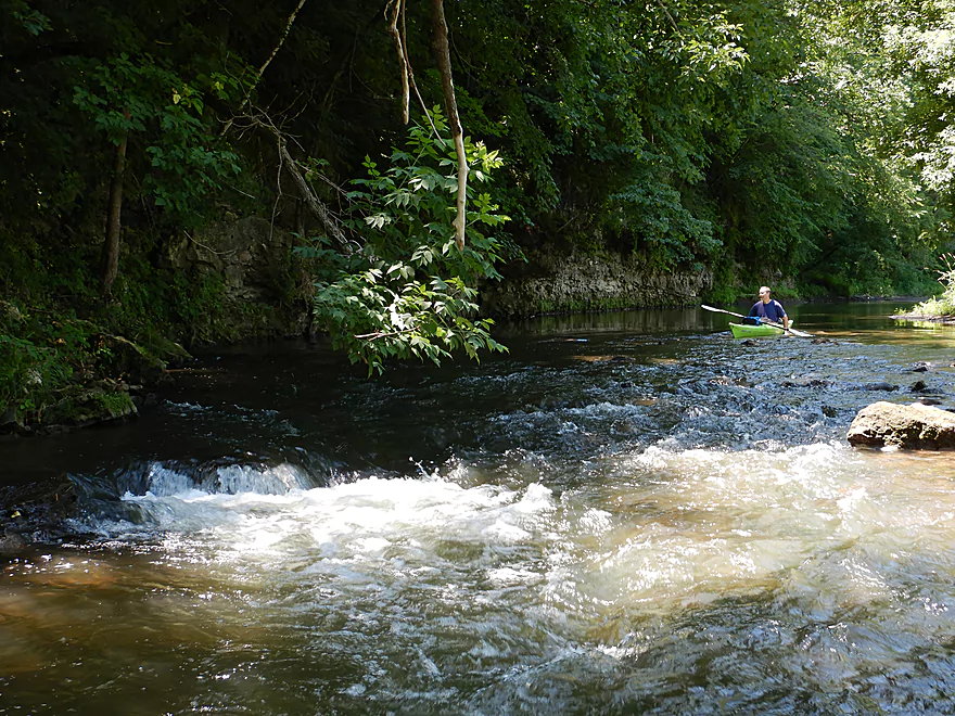
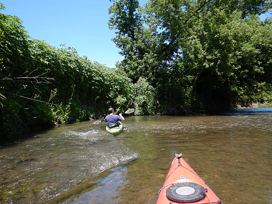
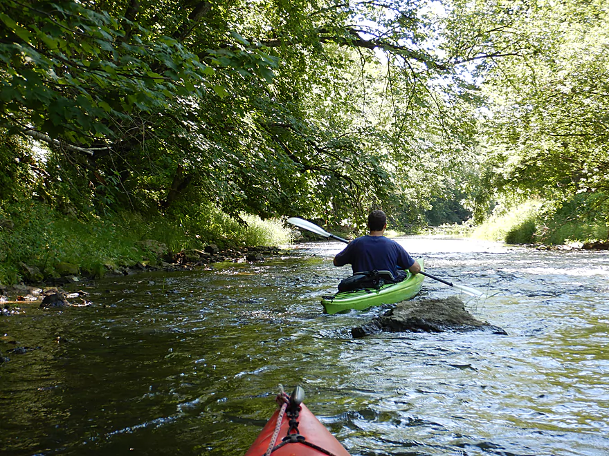
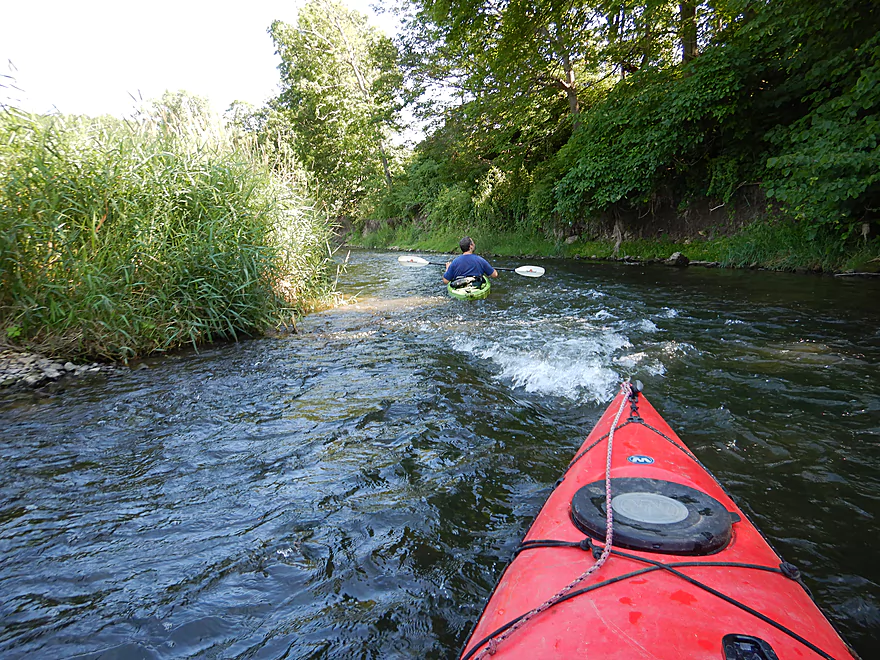
One of countless rapids
Another great island
More eroded outcrops
The rocky layers are likely from a pre-settlement era
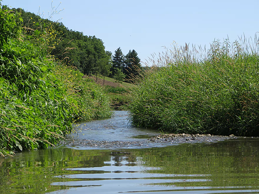
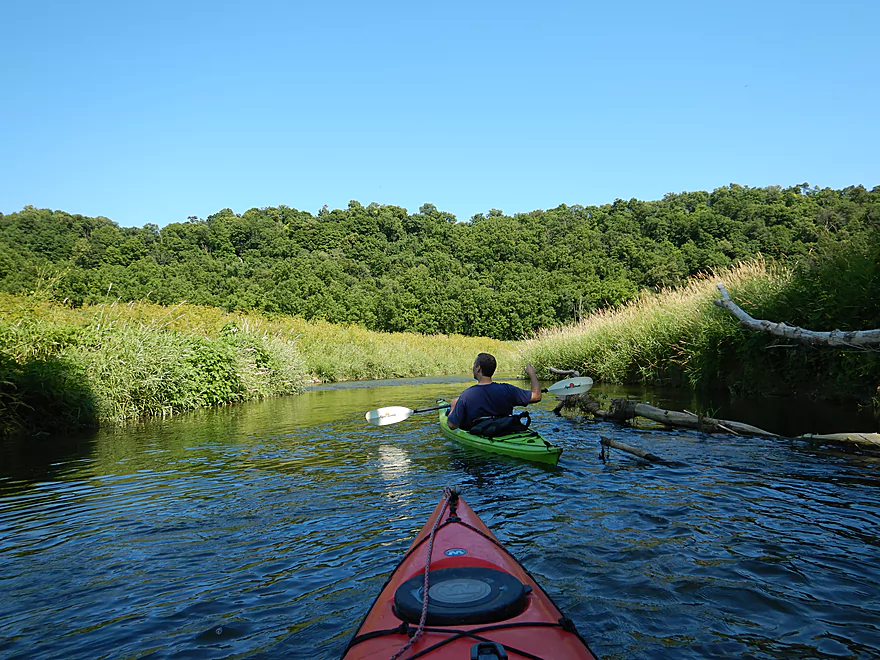
Nice prairie scene
The Little Platte in high water can be rough
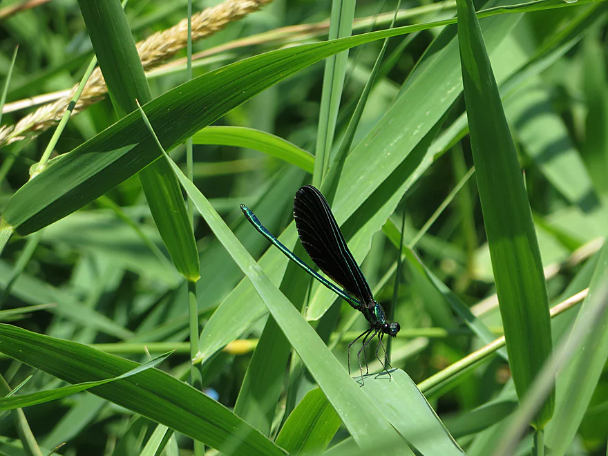
A damselfly
Last of the outcrops
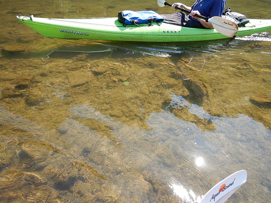
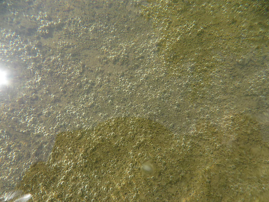
Water clarity was decent
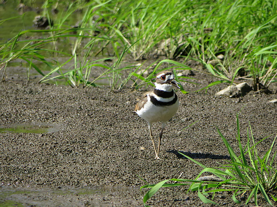
A chirping killdeer
Not sure what this was, but it was cool
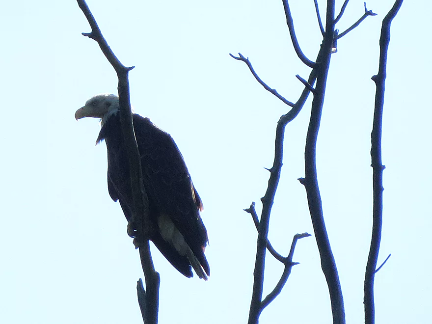
A somewhat bedraggled eagle with a mark on its cheek
River starts to change with bigger banks
And taller weeds (this is mostly invasive Japanese hops)
Another neat island
Taking out at Church Road
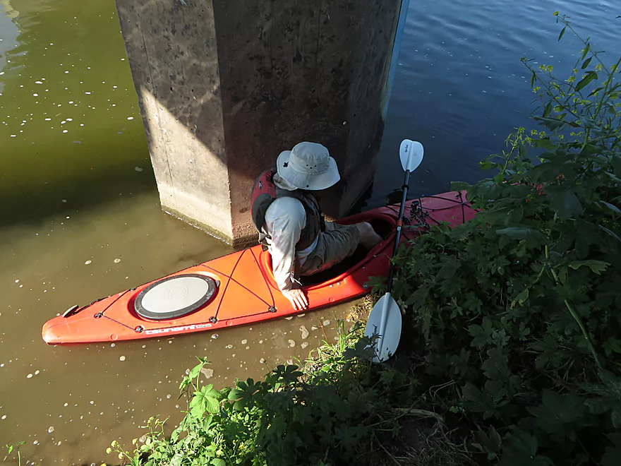
Your best bet is to pin the boat against the pylon
Then drag your boat up the bank (rope helps)
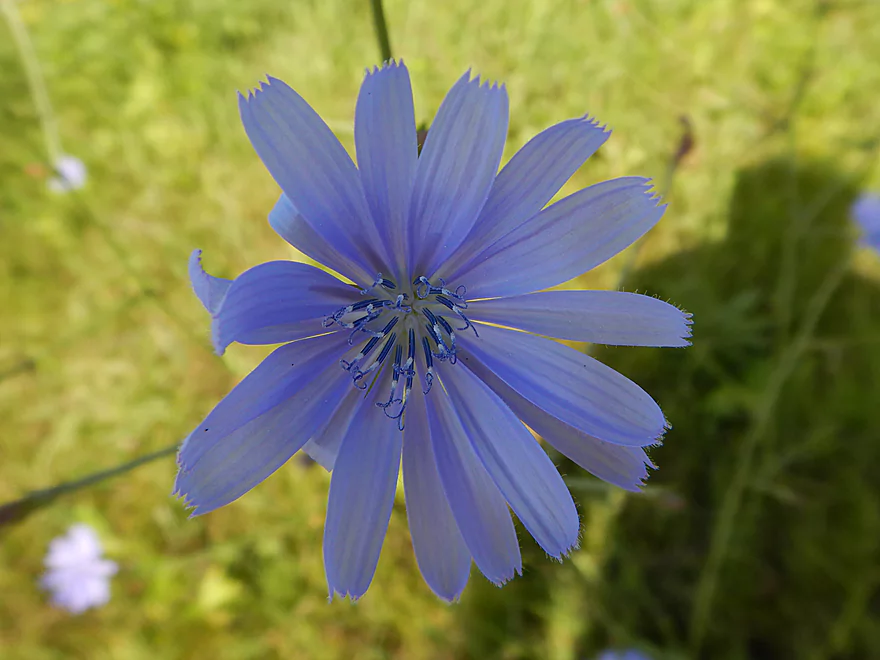
Chicory flower
An overgrown access option–not good, but doable
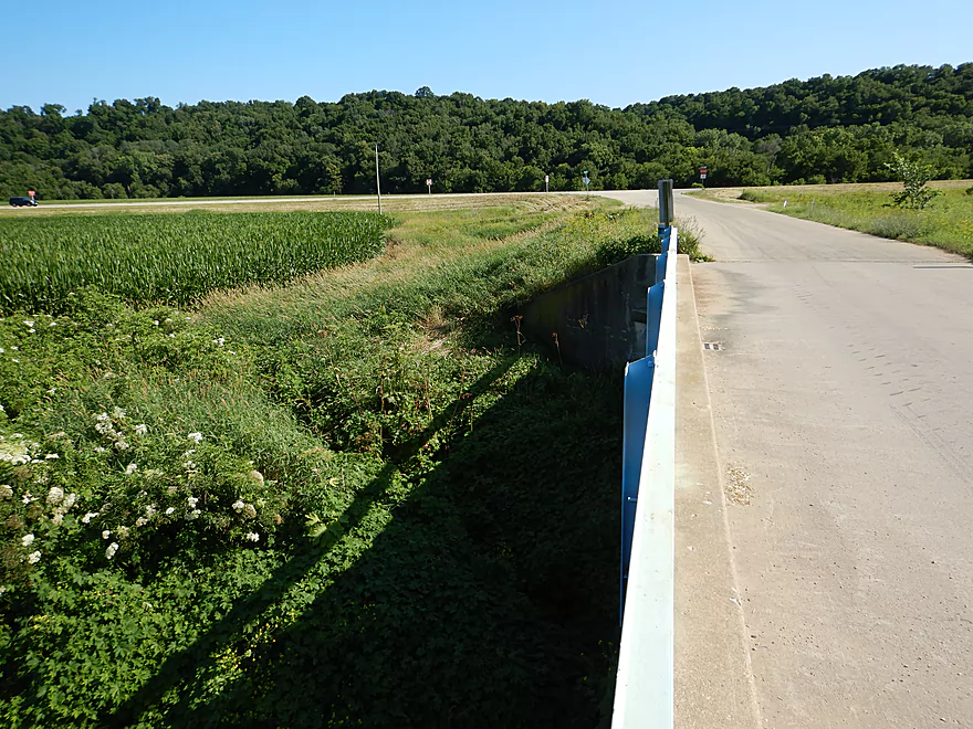
View upstream from bridge
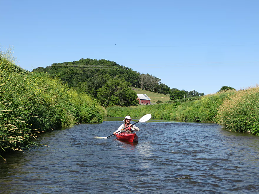
Little Platte River: Hwy O to Church Road

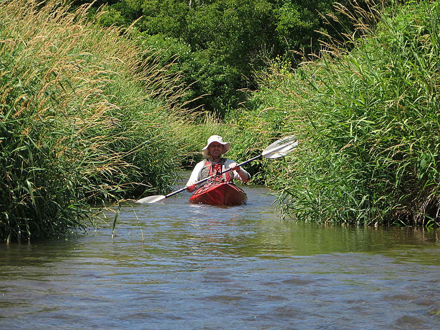
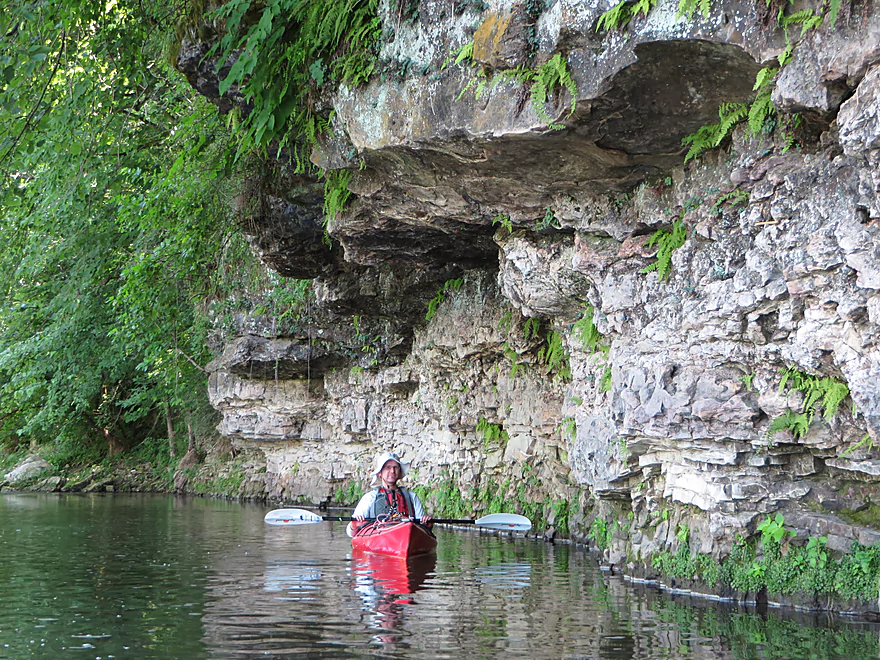
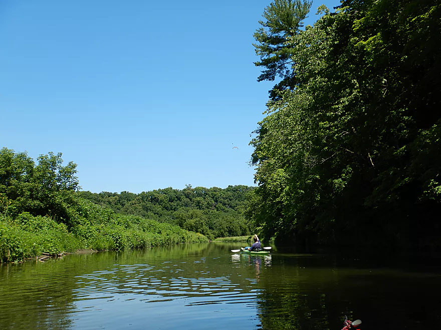
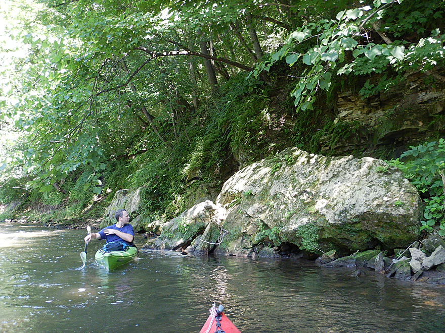
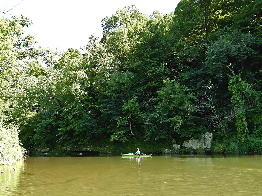
We started our trip at Hwy O which was a decent bridge access and our take-out from two years ago. Here we were greeted by a swarm of cliff swallows and the first of many light rapids. Soon after we came across a limestone outcrop, which was small but attractive with ferns sneakily growing between the stratifications. Maybe a half mile later we came across a much grander limestone wall spanning say 1500′ flanked by some light rapids. Unlike the smooth sandstone cliffs of say the Kickapoo or Dells, limestone outcrops are very rough and have a layered texture which give them a lot of character. They look ancient and are. In several instances we saw stromatolites embedded in the rocks. These are fossilized balls of algae identified by their large shape and concentric layers (see photo below).
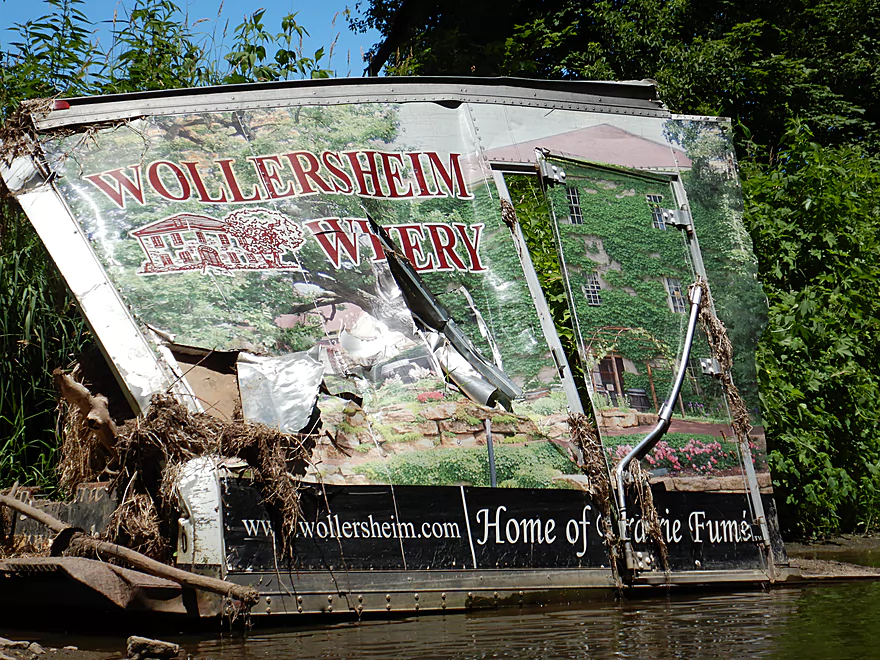
Our trip was unfortunately a bit mistimed as it was shallow and we hit a lot of rocks on the riffles. But the Little Platte can be a different animal at higher levels, which was evidenced by the debris high in the trees, a broken paddle we found, and a Wollersheim Winery truck we saw washed up along the shore. We saw this exact same truck two years ago…but five miles upstream! (…and in much better shape)
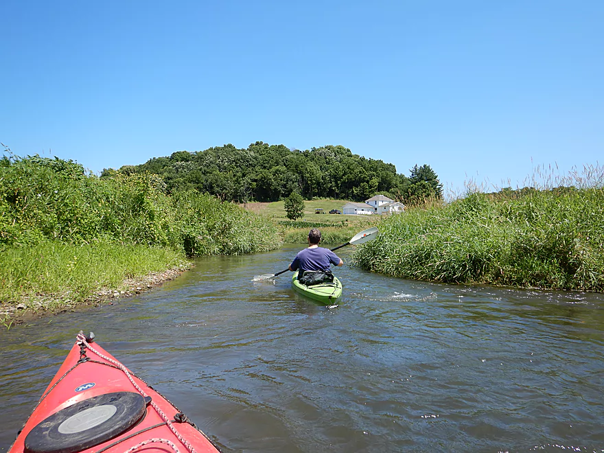
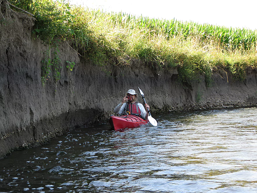
This trip alternated between two modes. There was rugged Little Platte which featured driftless bluffs, huge boulders, wooded banks, and scenic limestone cliffs. Then there was the open Little Platte, which was flat, open, and had tall mud banks…which wasn’t as bad as it sounds. The mud was so hard it formed sharp perpendicular angles angles to the river…like little mud cliffs. But certainly topsoil erosion has been and continues to be a major issue with the Little Platte, as does nutrient run-off. While the water clarity was at times good, the substrate was often covered with dead plants and algae.
Despite this being a farm country paddle, we didn’t encounter a single cow or fence, which was very much appreciated. Another surprise was the number of islands. These often created narrow riffley corridors which were fun to zip through. Choose your path wisely though…some island channels are deeper, some have strainers, and in one case you could only see a limestone outcrop if you paddled the correct channel (which was right).
In summary, this was a surprisingly nice exploratory trip which we enjoyed (except for the take-out). I gave it five stars, because I like small rivers with steep gradient and pronounced geology, but suspect many paddlers might rate this 4 stars. Little Platte newbies might be curious to know how this compares with the rest of the river. I detail this in the overview section below, but let me provide a summary of the big picture here…
The far upstream and downstream sections are just too congested with deadfall to run. The middle three sections (Quarry to Stumpton, Stumpton to Hwy O, Hwy O to Church Rd) are great paddles though. My favorite was actually the first leg (Quarry to Stumpton), which I think had the best geology, but is also the most shallow. Stumpton to O is maybe the third best…much less geology, but some nice pastoral scenes and plenty of fun rapids. This section (O to Church) would be IMO the second best leg and was somewhat of a hybrid of the first two trips.
Just downstream from Hwy O, there is a make-shift access where a local has courteously mowed the adjacent bank for paddlers. You still have to drag your boat over some rocks to reach the water, but all in all this was a decent access option. If you park here, don’t block access to the nearby field.
Church Road was a poor take-out…very weedy, some mud, and steep. Your best bet will be to pin your boat between the southeast pillar and the shore, and get out there which was still tricky but doable (this is directly under the bridge). Then you’ll need to drag your boat up a steep incline and through thick weeds to reach the road. This actually might be easier now because we sort of tromped a trail that other paddlers will benefit from. Shoulder parking is not bad. Be careful not to touch the wild parsnip.
The bike shuttle would be very hilly and grueling, but only 3.8 miles.
This is a pool-and-riffle river, typical of many southwest Wisconsin streams. The gradient was pretty steep which resulted in many light rapids, but none greater than Class 1. While safe at our low levels, at very high levels the Little Platte can actually be dangerous.
Despite being in “fence country” there wasn’t a single cow fence to deal with. Hooray! There are also no logjams to worry about (surprising given a tornado touched down recently near Platteville). The only minor concern was a few strainers in somewhat fast current. These should be easy to avoid for experienced paddlers in nimble boats, but could become problematic at high water levels.
We did the trip at 155 CFS per a gauge on the nearby Platte River. While this wasn’t a problem for the most part, many of the riffles (say 40%) were bumpy and we grounded out a few times. I still had a good time, but I suspect most paddlers will prefer higher water levels. Below is a rough depth guide (for this section only…the upstream parts will need more water):
- 0-60 CFS: It practically never gets this low.
- 61-110 CFS: It’s theoretically possible to paddle the river at these levels (my first Little Platte trip was 80 CFS), but you will walk almost all riffles.
- 111-160 CFS: A very bumpy depth. ~50% of the rapids will be a bit too shallow.
- 161-200 CFS: A low but likely acceptable flow rate. You’ll still hit rocks, but can run most of the major rapids ok.
- 201-300 CFS: Probably a good target.
- 301-400 CFS: River is well above normal and should have good padding. Might be pushy in areas.
- 401-500 CFS: Might be a good whitewater level, but likely too pushy for rec paddlers.
- 501+ CFS: Maybe too high. I don’t know. Here is a story of a kayaker who almost drowned on an upstream section at 1700 CFS.
We saw an owl, some minnows, a bass, an eagle that looked injured, many dobsonfly eggs, and even an adult. The adults are very large and alien looking…really cool!
Detailed Overview
- Arthur Village (Hwy A or 80) to Waterfall Road: 3.6 miles. Typically tiny, with perhaps some electric fences and definitely some downed trees. Rock outcrops by Arthur are impressive.
- Waterfall Road to Crosscut Road: 2.1 miles. An interesting creek prospect.
- Crosscut Road to Quarry Road: 5.9 miles. A curious prospect, but likely has a handful of downed trees.
- Quarry Road to Stumpton Road: 6.6 miles. A great five star section.
- Stumpton Road to Hwy O: 6.3 miles. A good four star section.
- Hwy O to Church Road: 4.7 miles. A great five star section.
- Church Road to Oak Road: 4.6 miles. Medium prospect. Maybe 1 outcrop and 8-12 logjams.
- Oak Road to the Mouth: 4.6 miles. Medium prospect. Maybe 11 logjams.
- Mouth to Indian Creek Road: 1.5 miles. A short section on a now very wide Platte River.
Trip Map
Overview Map
Video
Photos Size:
Been kayaking in Illinois but am disgusted with the laws here and am looking at Wisconsin. These articles are amazing and unbelievably helpful. I look foreword to posting my expectances once I get a chance to run them, although I doubt I can be as eloquent or helpful as these are.
Illinois paddling laws are completely backwards…I totally sympathize.