
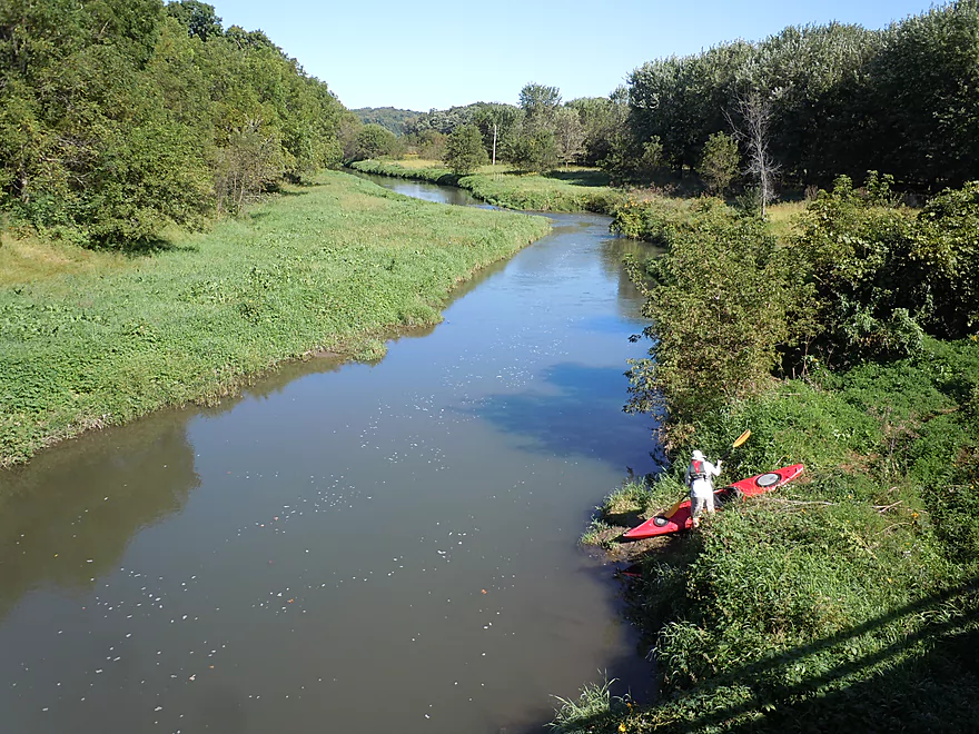
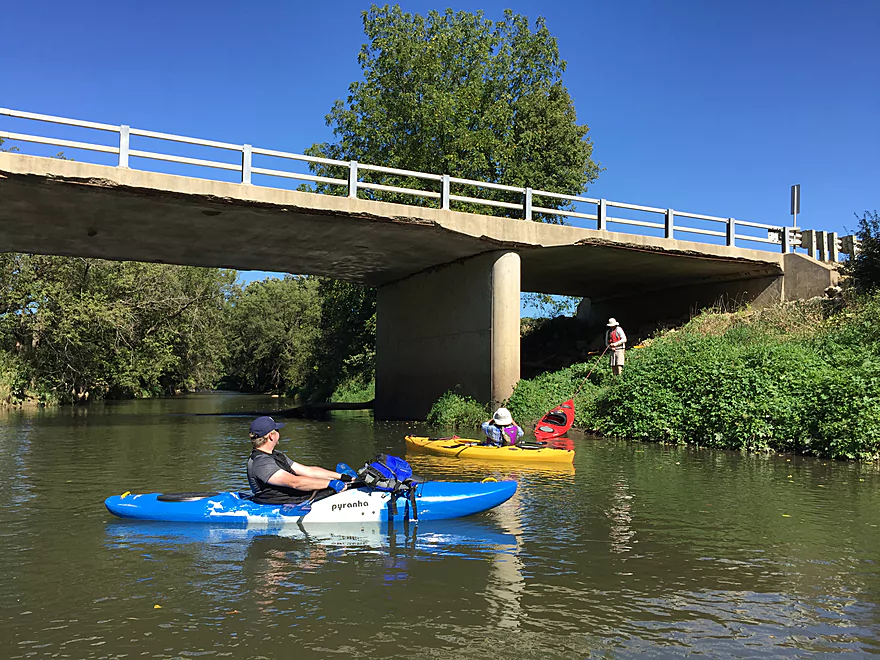
Decent bridge access by Stumptown Road
Muddy water from recent rain
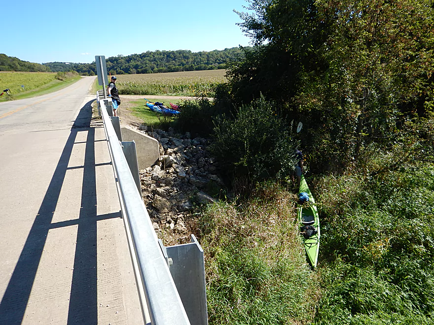
Looking back at Stumptown Road
View from the bridge
Top layer is probably all farm runoff
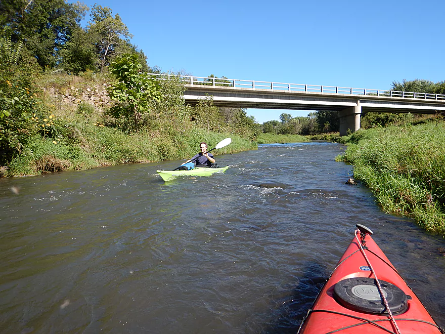
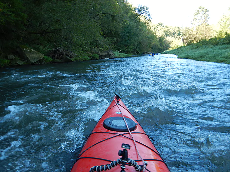
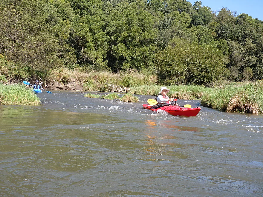
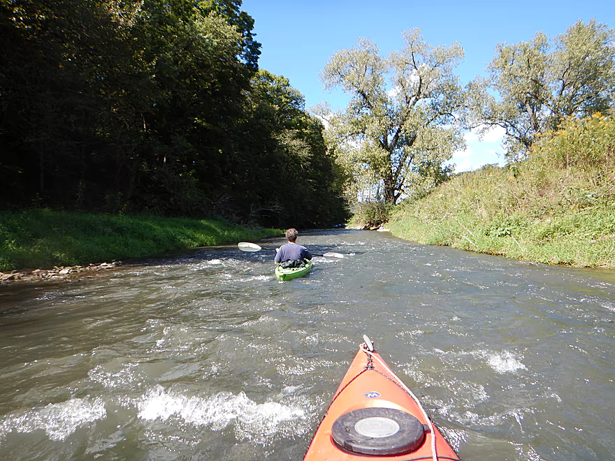
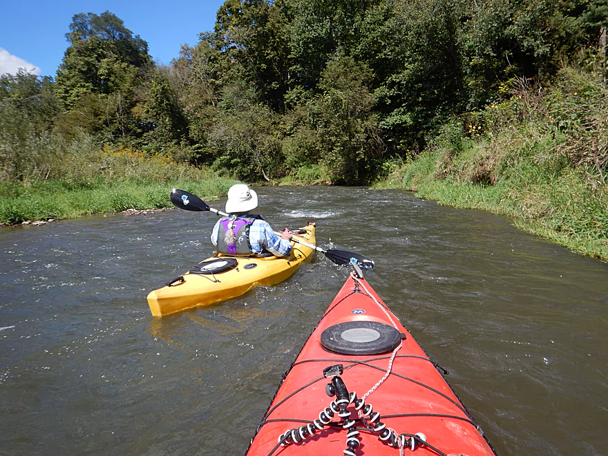
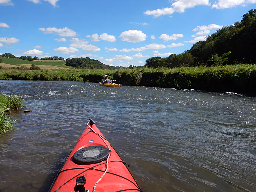
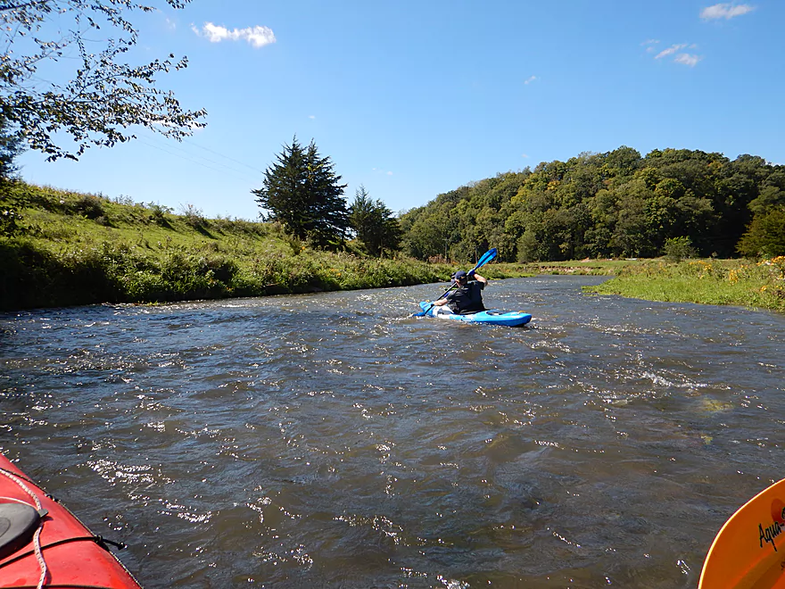
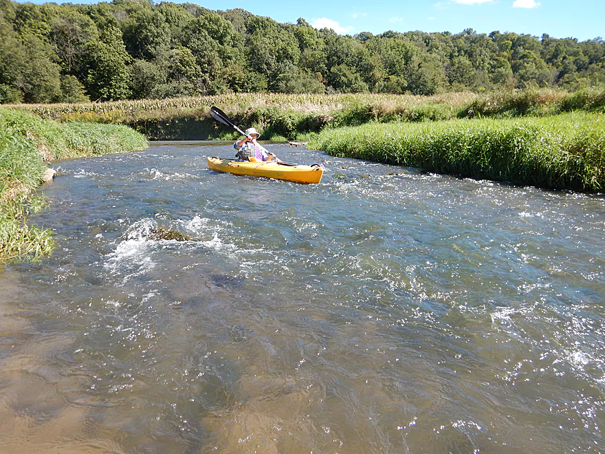
First zippy rapids
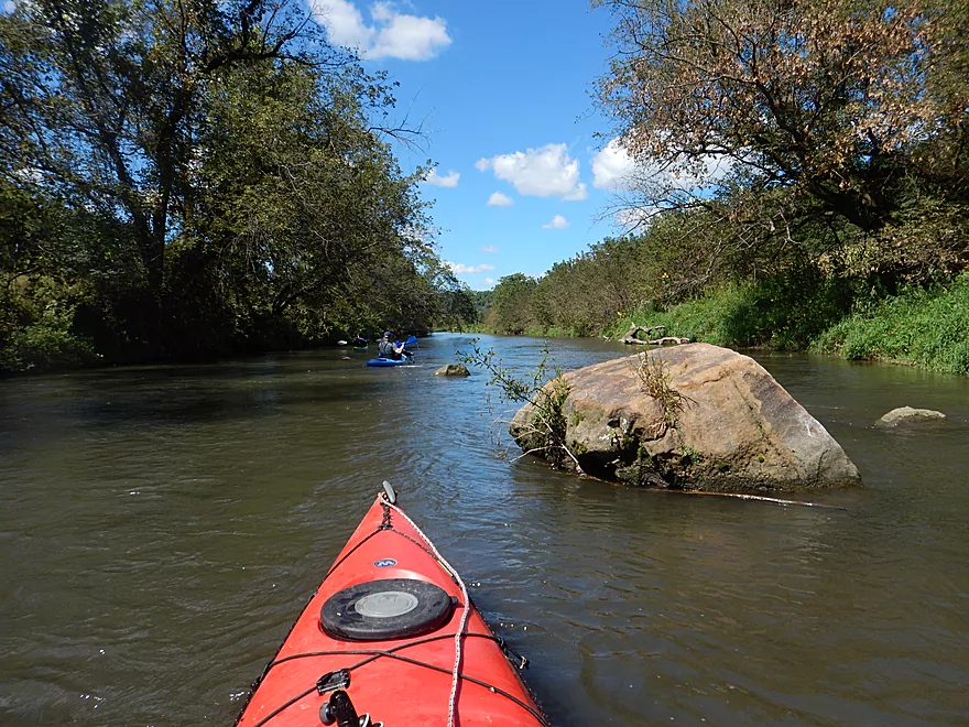
Lot of boulders in the water
Woodland sunflowers
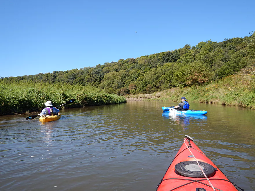
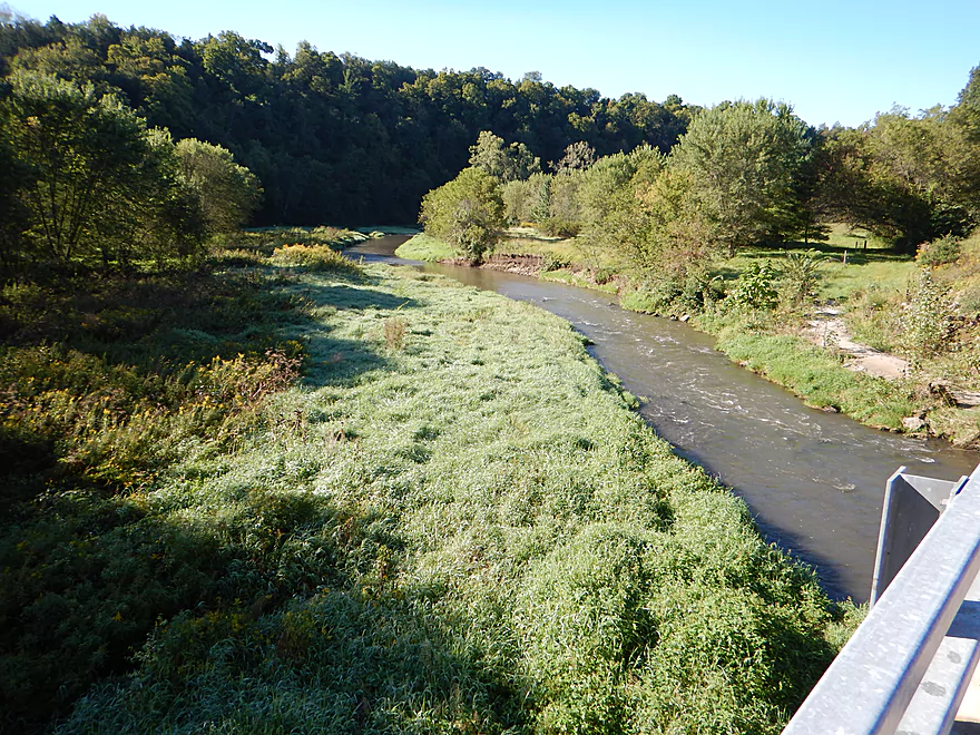
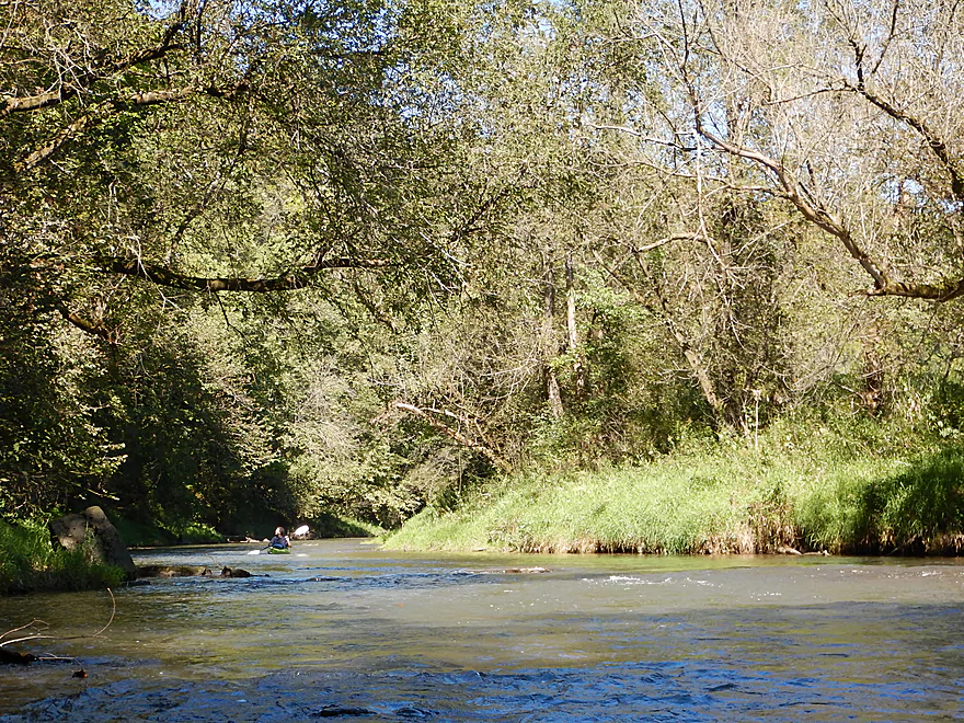
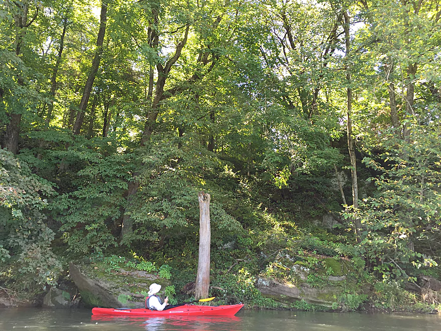
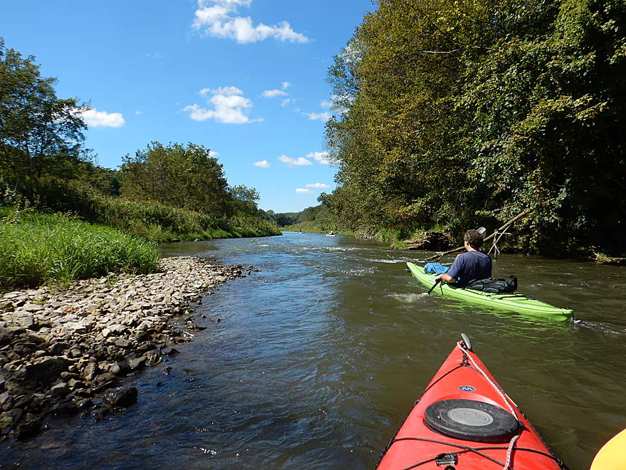
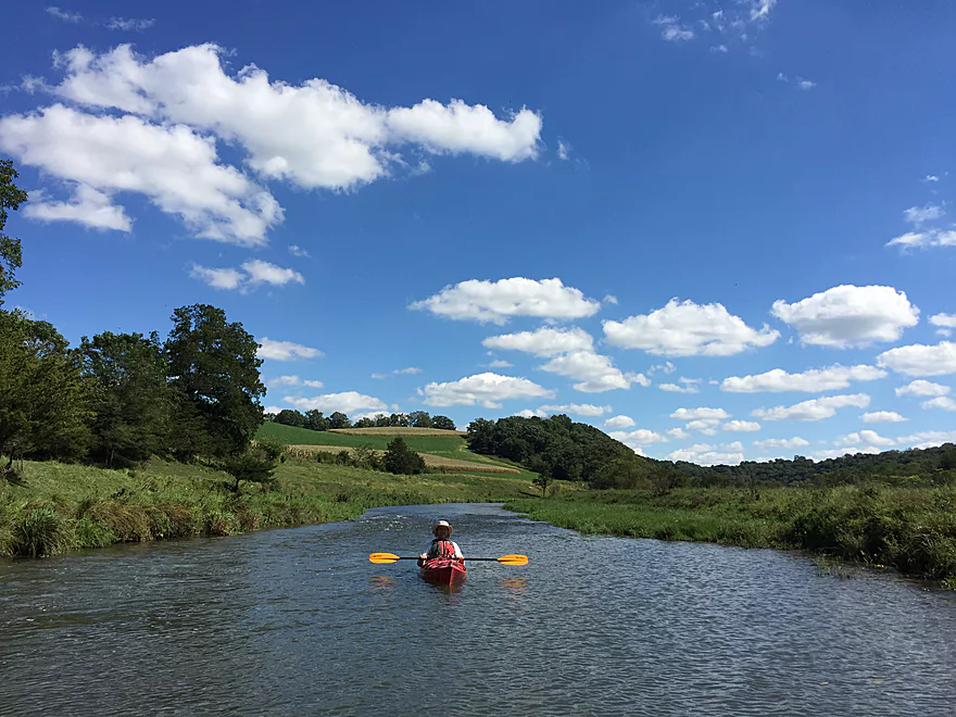
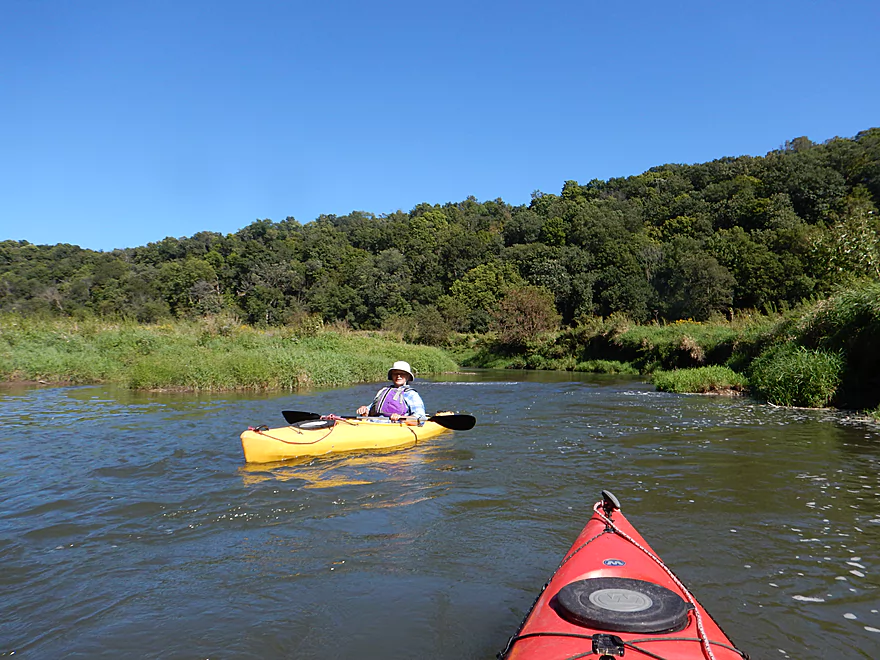
The river valley is very beautiful
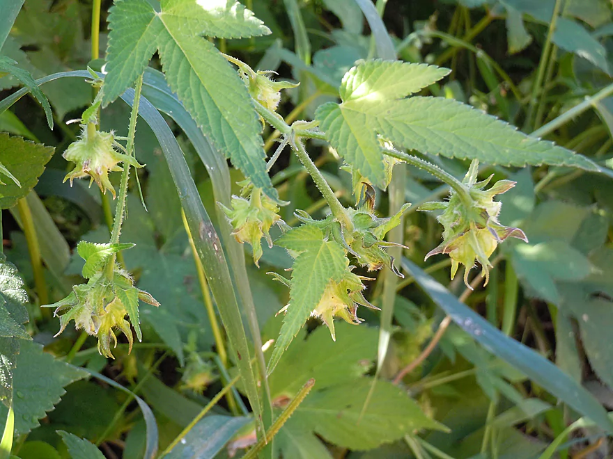
Invasive Japanese hops
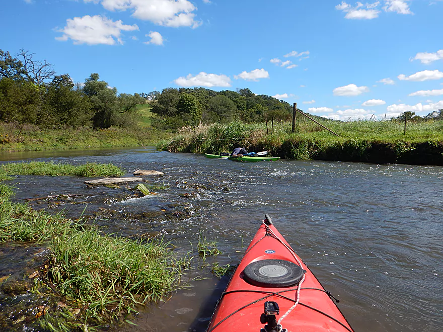
One of countless riffles
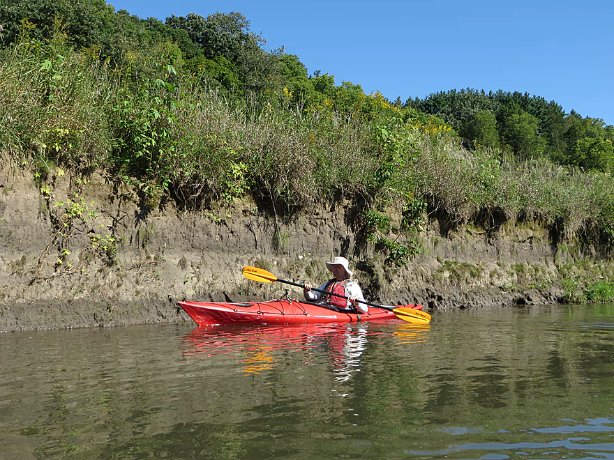
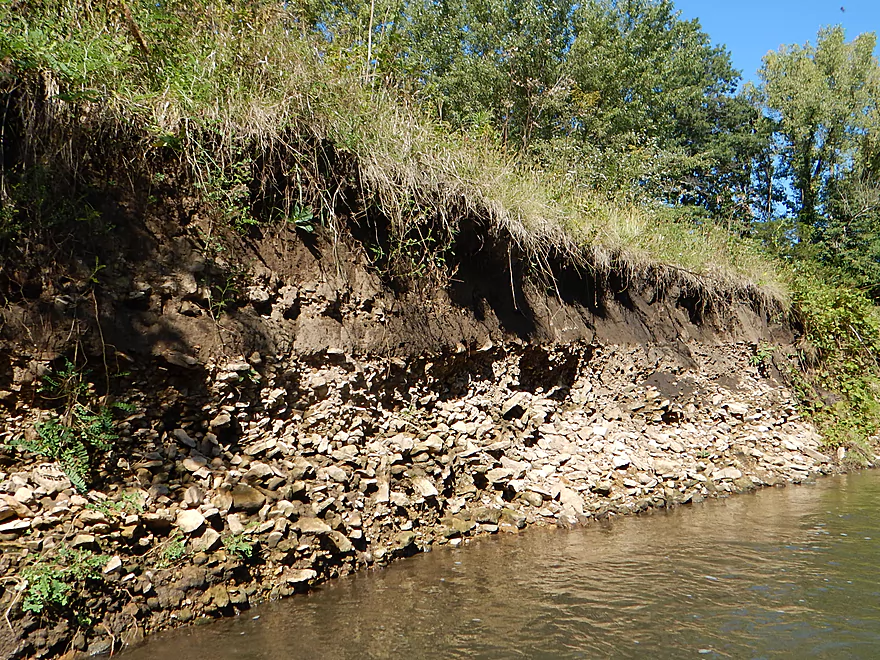
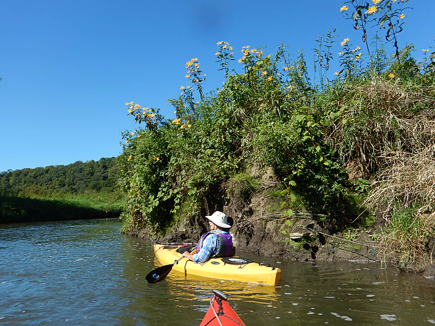
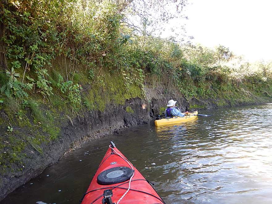
Some huge dirt banks
Future logjam
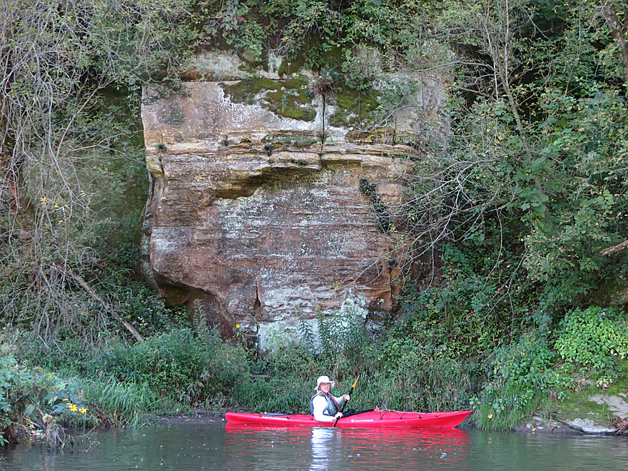
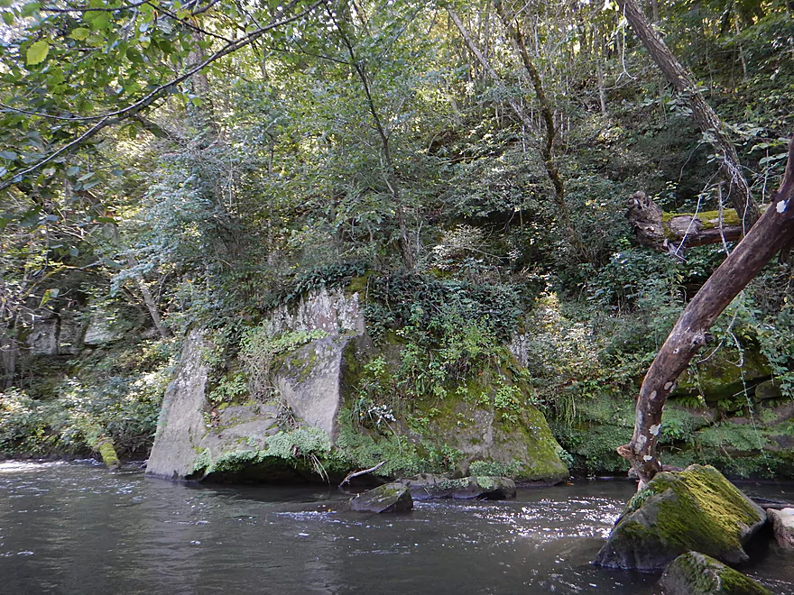
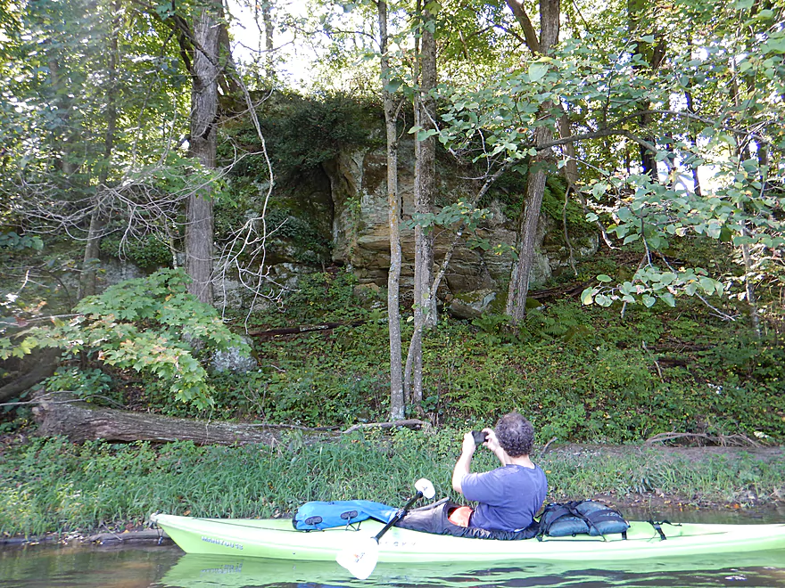
Nicest sandstone wall on the trip
Very scenic
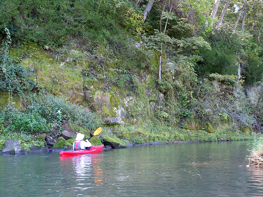
With nice mosses growing all over
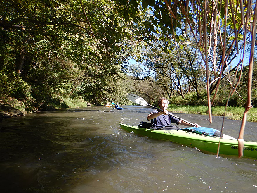
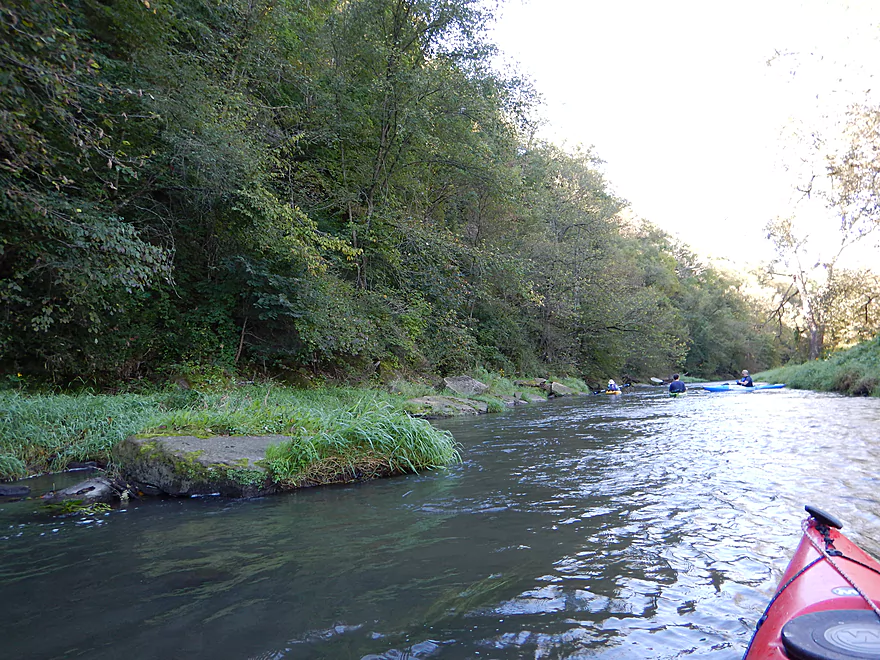
Entering some rare woods
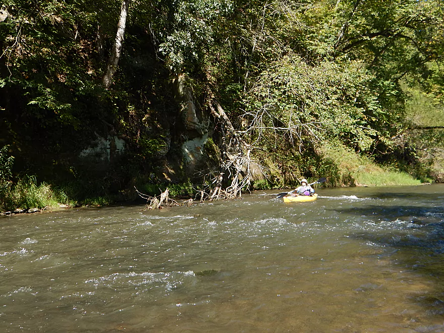
Still zippy
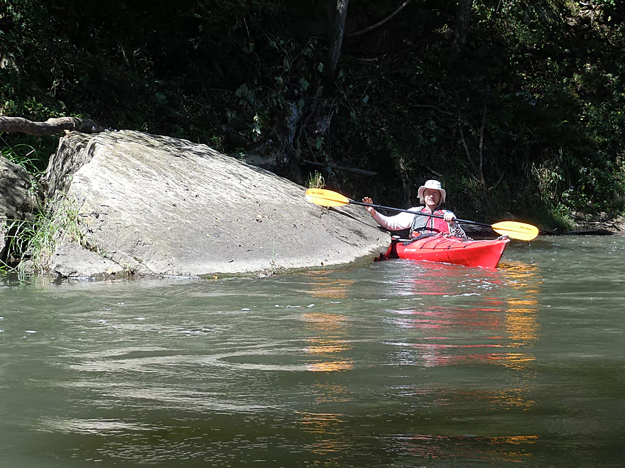
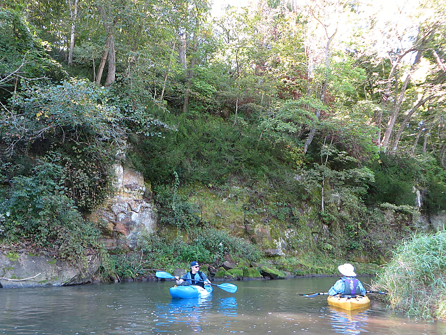
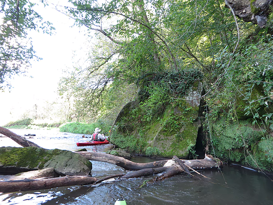
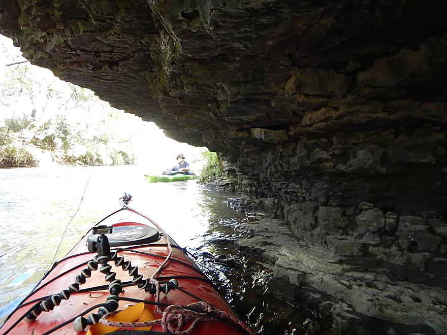
Great geology on the river
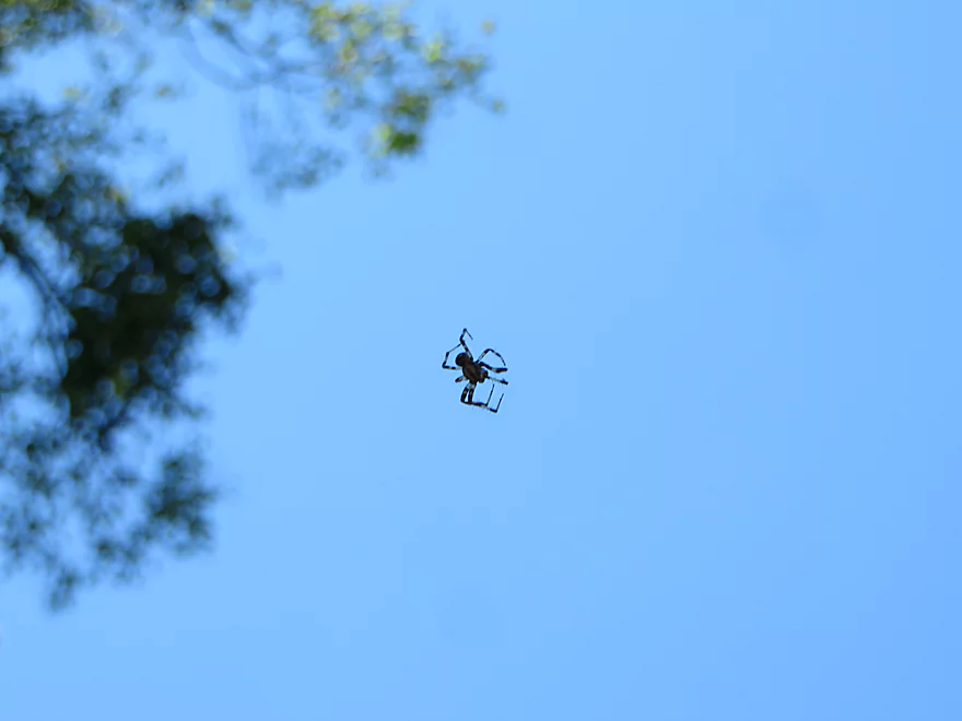
A paratrooping spider
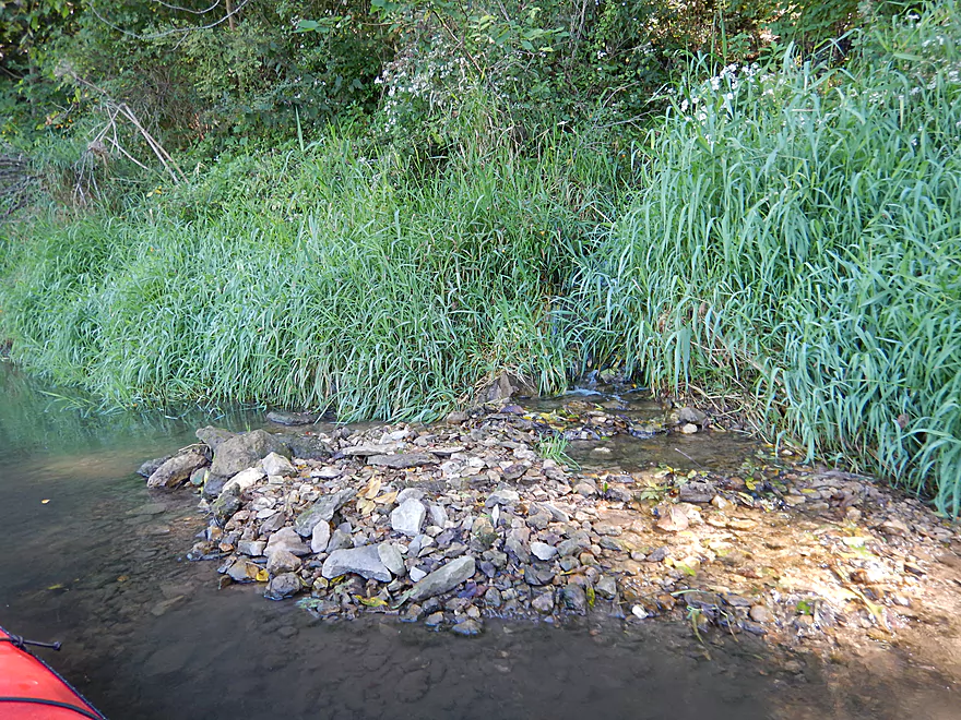
Cool seep outlet
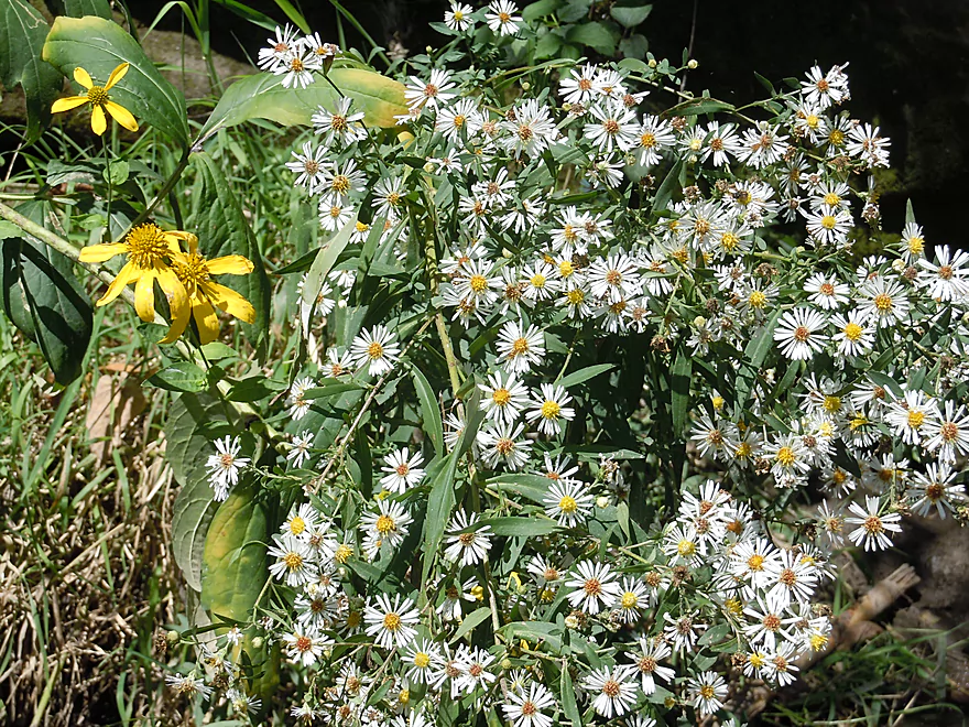
Wild white asters
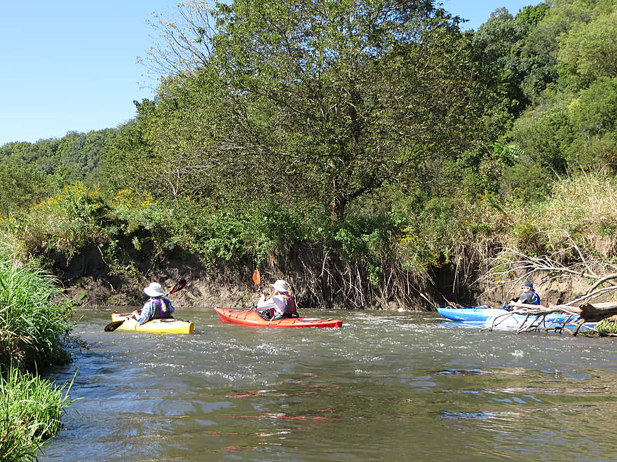
Entering a scenic section
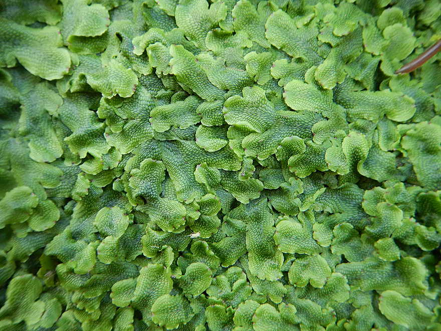
A carpet of liverworts
Crumbling limestone bluffs
Back in the open
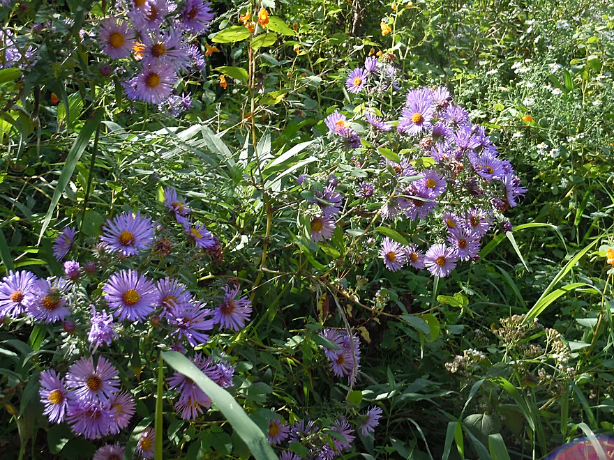
New England aster
Nice gravel bar
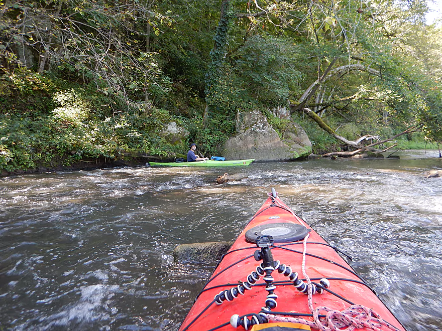
Ducking under the first fence
So much mud…
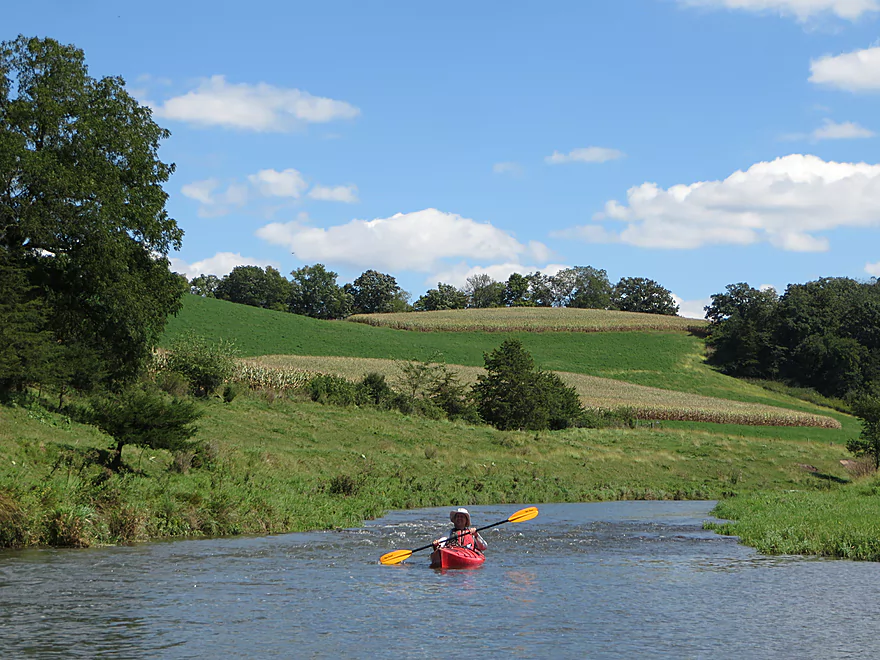
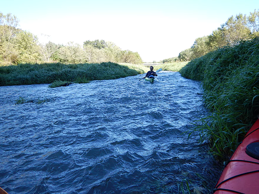
Very picturesque countryside
Rapids eroding the banks
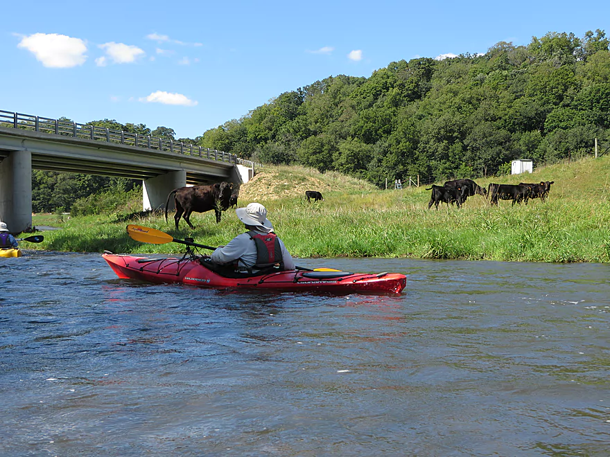
Coming up on Maple Ridge Road…and trouble
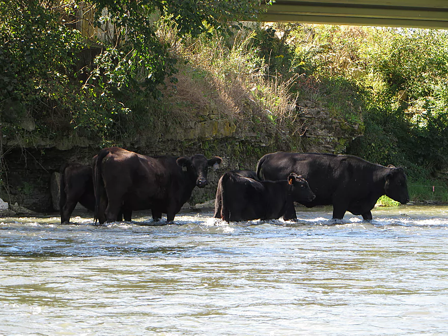
They look so guilty
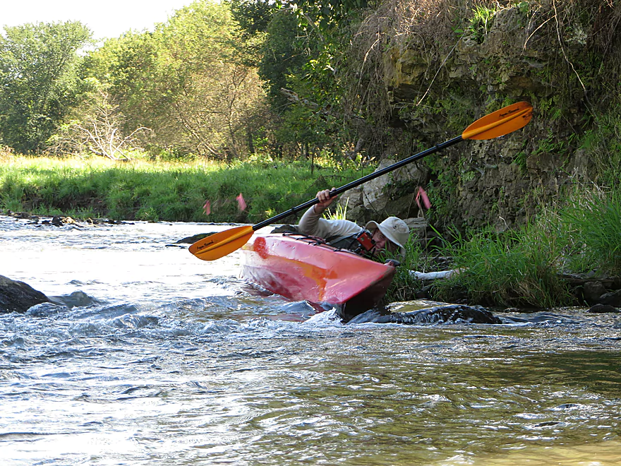
Me after getting shocked by the yellow wire
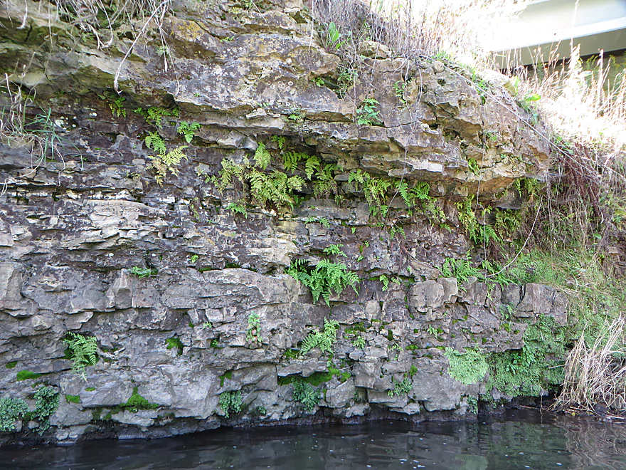
Cool limestone though
Immediately after, another fence (this easier to duck under)
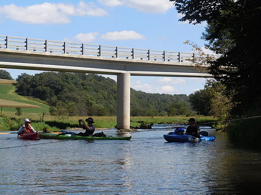
Looking back at the bridge

Lots more dirt banks
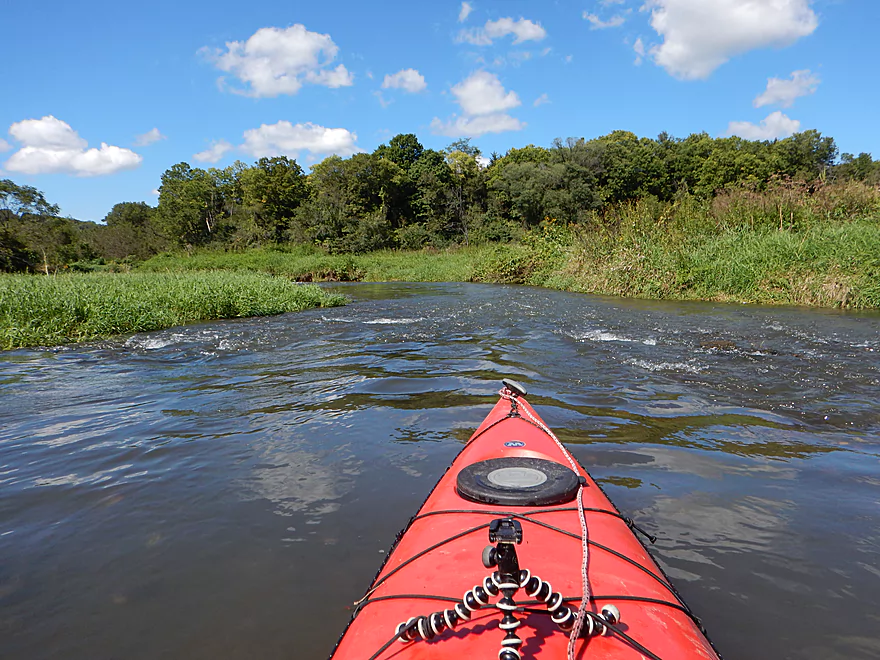
River really opens up at this point
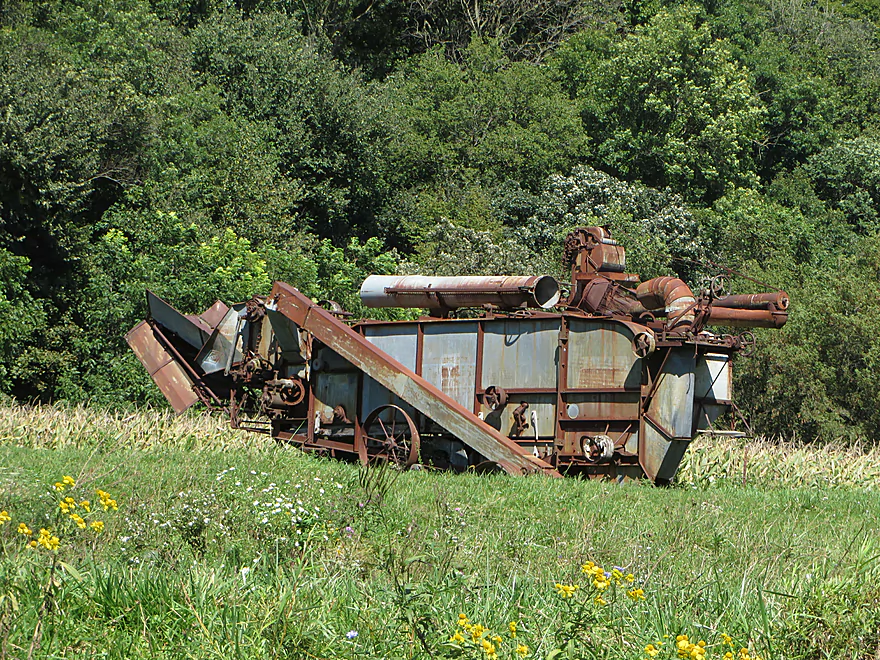
Antique threshing machine
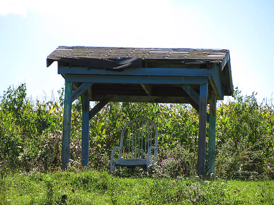
Built for…just that chair
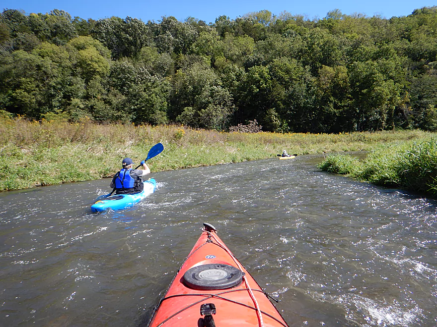
General rule…river bend = rapids
Relaxing in the rapids
One of many bifurcated islands
Make sure you choose the right channel
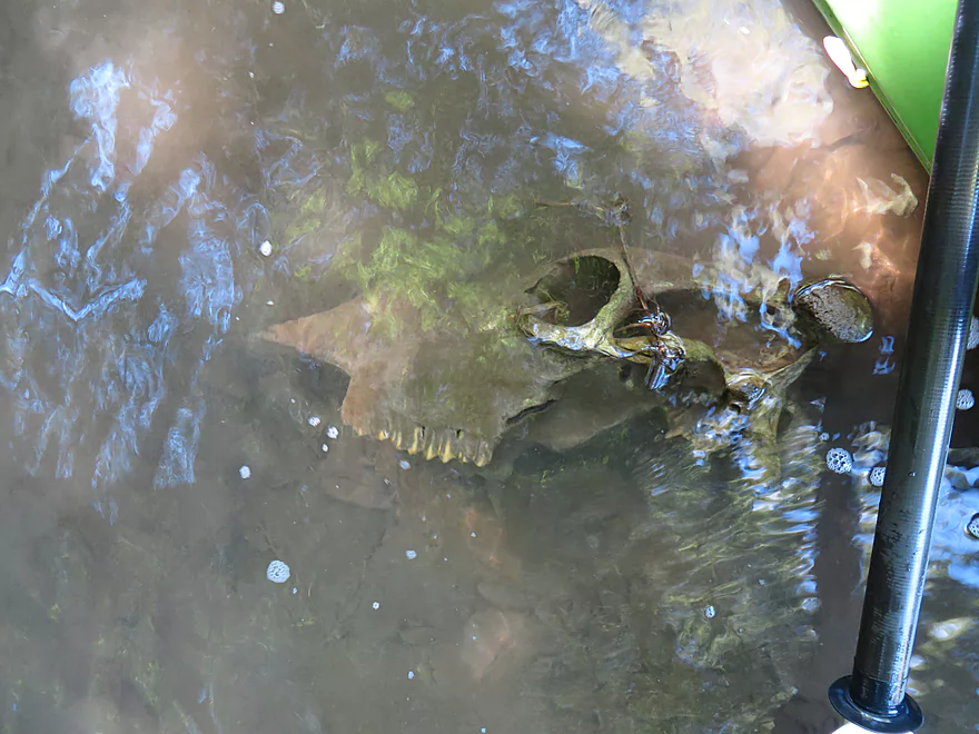
A cow skull…killed by a flood perhaps?
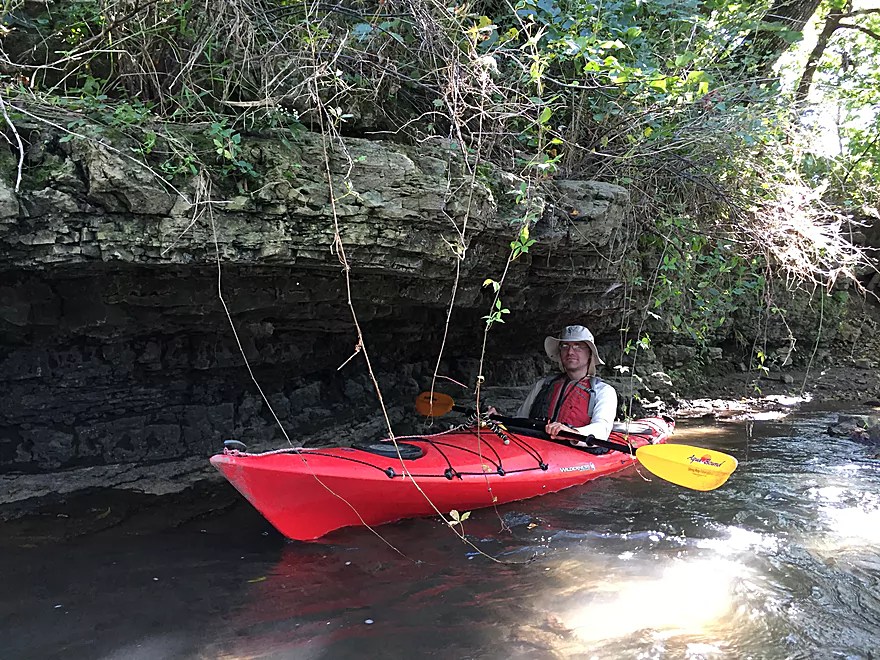
More attractive limestone
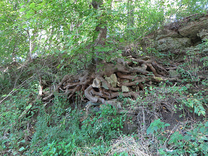
Tentacle-like roots
Final stretch
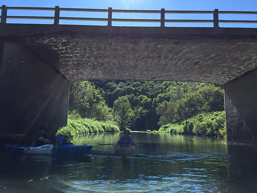
Light patterns under the bridge
Taking out at Hwy O
A good bridge access option
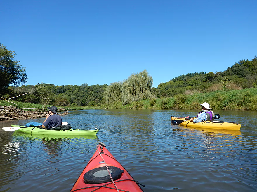
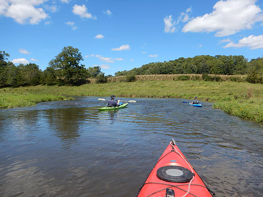
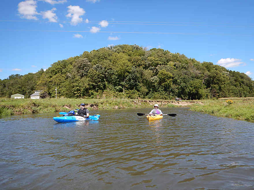
Little Platte – Stumpton Road

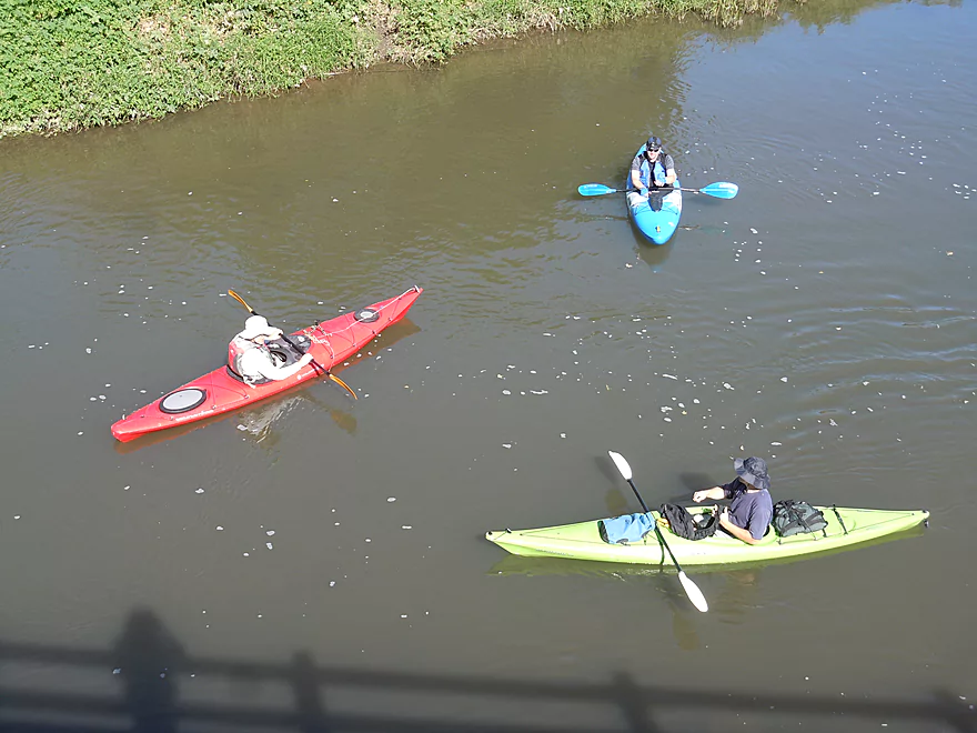
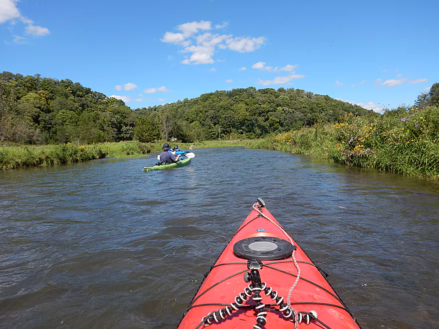
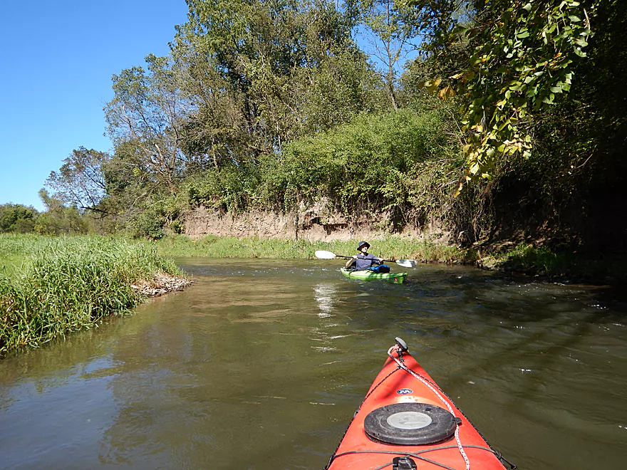
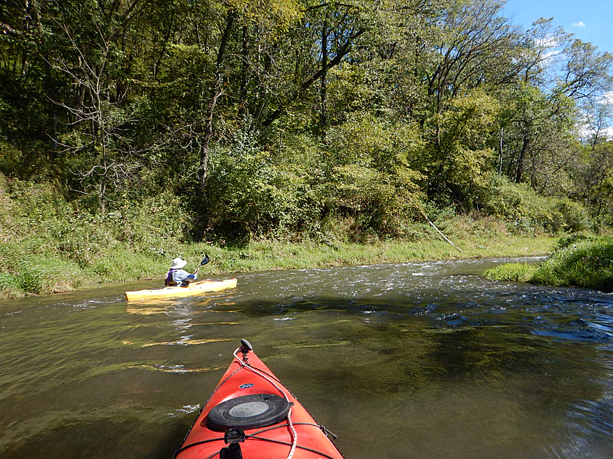
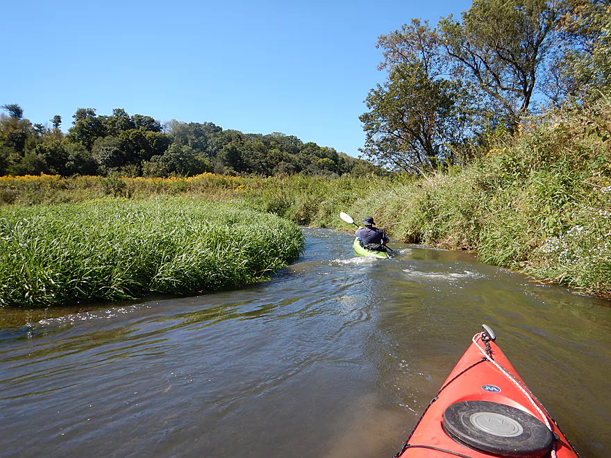
Located just west of Platteville, the Little Platte is one of Grant County’s many paddling gems. Like other Grant County water trails, it has good current, some rock outcroppings, and scenic pastoral views of the surrounding driftless hills. What makes the Little Platte unique is that it is faster than the Platte and Grant, and has more rock outcrops.
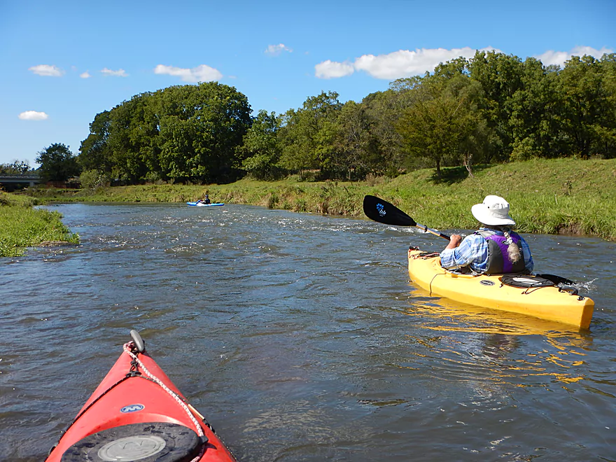
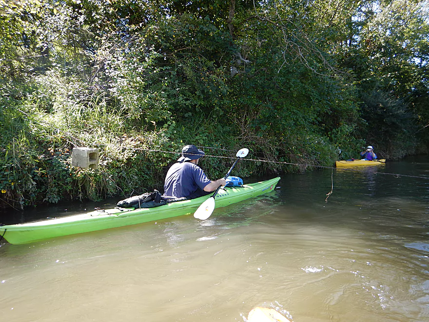
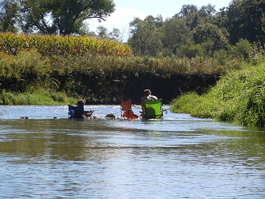
Agriculture has a big impact on this river. Chances are if you do this paddle, you’ll see cows and steers in the water. Tread carefully. Most of the trees have been chopped down along the banks to make way for grazing pasture, which is unfortunate but does give the river a unique “prairie paddle” vibe. Another unique characteristic of the river are its high mud banks, which is another byproduct from local agriculture. There will be three fences to cross under, two of which are easy to get under, but the second by Maple Ridge Road is low, over rapids, and electric (I received a shock lifting it over my head).
A highlight of the trip is the geology. There are several sandstone and limestone outcrops, and angular boulders dot the channel. While nice…I must say the geology for the upper leg was actually better (especially the limestone walls). Although, when it comes to geology, the Upper Platte trumps both Little Platte sections for cool rock outcrops.
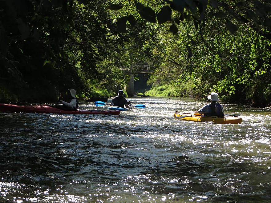
The other big asset of the river is the good current. I had hoped for Class 2 rapids based on a review from American Whitewater, but alas, there were only Class 1’s. They are scenic though, with most appearing on river bends or wrapping around small islands.
In conclusion, this was a very pleasant four star trip. IMO, my trip last year from Quarry Road to Stumpton Road was better though! Better current, bigger rapids, much better limestone, and much more woods. This is not a bad #2 option though.
Ok shoulder access at Stumpton Road. A small trail has been beaten down northeast of the bridge and launching here is pretty easy.
South of Hwy O, there is a nice mowed area and subtle path leading to the water. A tad muddy, but otherwise a nice option. Note, the launch is adjacent to a farm road, so make sure when parking you don’t block tractors.
This would be a difficult bike shuttle. The route would be 6.7 miles and rises 328′ while dropping 253′. It might seem by looking at the map that a bike shuttle would take you on Hwy 151 (not ideal for bikes) but there is a hidey bike trail just south of the freeway that lets you avoid this.
A surprisingly safe river despite its gradient. No log obstructions, and while there are many riffles, none are more than Class 1 and all are pretty easy. However…the Little Platte does get very high, and during these times it can be dangerous. Oh, and there are three fences. The first and third are easy to duck under. The second is low, electric and runs over rapids (it is almost directly under Maple Ridge Road). I did receive a shock when I lifted this over my head. I advise going under the fence on the north/right side of the river where there is more room.
The current is brisk with many riffles. The depth for this trip was 175 CFS per the nearby Platte River gauge. My completely unscientific depth guide is as follows:
- 0-60 CFS: It practically never gets this low.
- 61-100 CFS: You can do this (my previous trip was at 80 CFS), but you will walk almost all the riffles.
- 101-150 CFS: An ok depth, but you’ll hit a lot of rocks and get stuck a few times.
- 161-200 CFS: A decent flow rate. You’ll still hit rocks, but can run many of the chutes ok.
- 201-300 CFS: Probably a good target.
- 301-400 CFS: Maybe the river is a bit high for non-whitewater paddlers? I don’t know. Here is a story of a kayaker who almost drowned on this very section at 1700 CFS.
Some great blue herons, a kingfisher, dobsonfly eggs, sandhill cranes, cows, blue jays, a hummingbird, a hawk, and locals shooting their guns along the river. There were also many beautiful wildflowers growing on the banks.
Detailed Overview
- Arthur Village (Hwy A or 80) to Waterfall Road: 3.6 miles. Typically tiny, with perhaps some electric fences and definitely some downed trees. Rock outcrops by Arthur are impressive.
- Waterfall Road to Crosscut Road: 2.1 miles. An interesting creek prospect.
- Crosscut Road to Quarry Road: 5.9 miles. A curious prospect, but likely has a handful of downed trees.
- Quarry Road to Stumpton Road: 6.6 miles. A great five star section.
- Stumpton Road to Hwy O: 6.3 miles. A good four star section.
- Hwy O to Church Road: 4.7 miles. A great five star section.
- Church Road to Oak Road: 4.6 miles. Medium prospect. Maybe 1 outcrop and 8-12 logjams.
- Oak Road to the Mouth: 4.6 miles. Medium prospect. Maybe 11 logjams.
- Mouth to Indian Creek Road: 1.5 miles. A short section on a now very wide Platte River.
Trip Map
Overview Map
Video
Photos Size: