
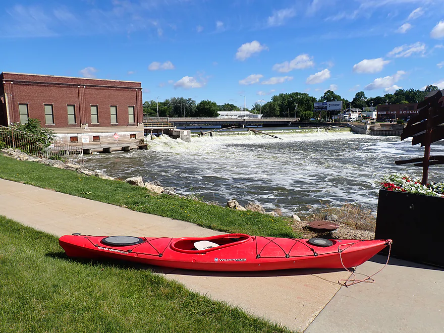
Starting the trip below the Centerway Dam
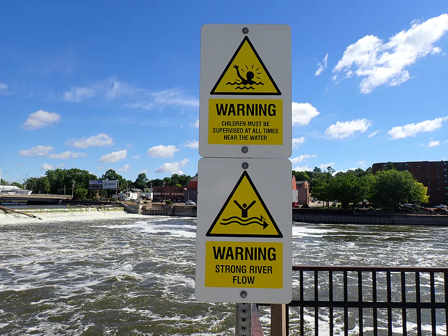
Some very apt warnings signs about the strong current
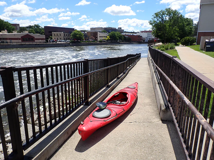
A portage path provide a good put-in option
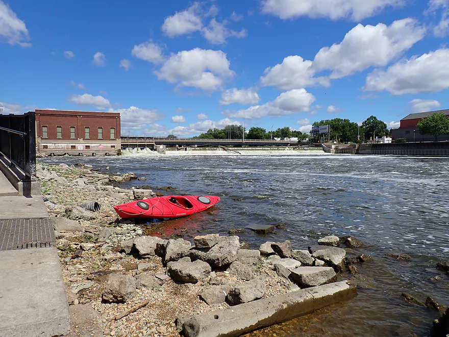
Decent launch area by the rocks
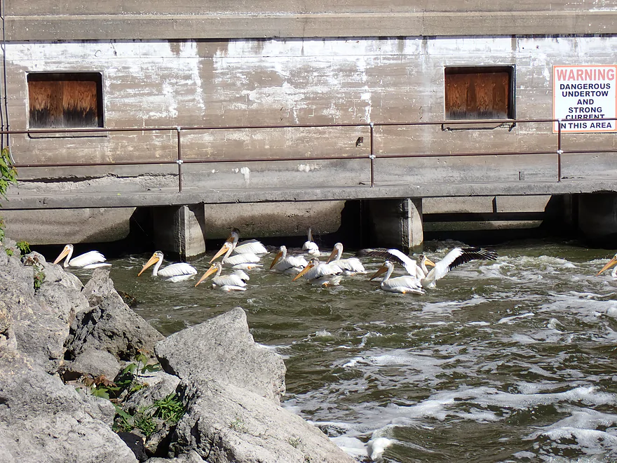
Greedy pelicans getting dangerously close to the powerhouse outlets while looking for fish
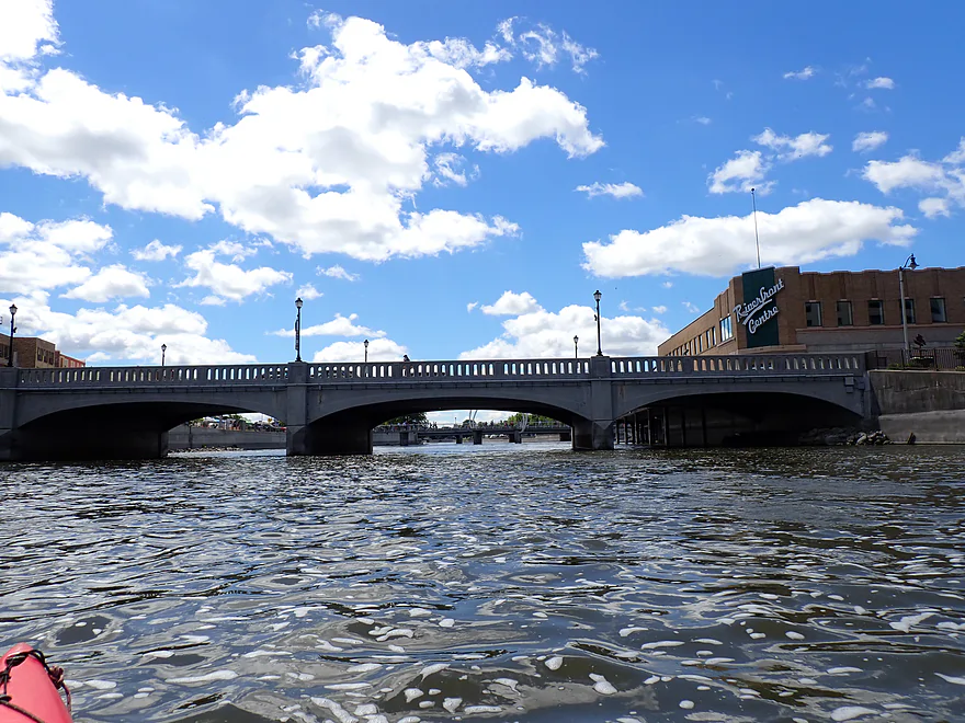
Milwaukee Street
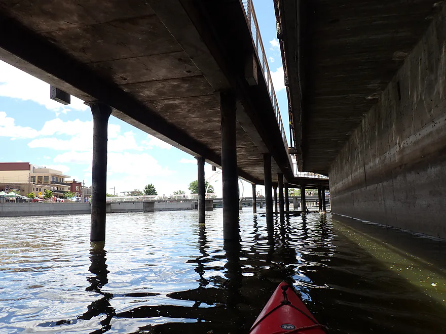
Under an adjacent riverwalk
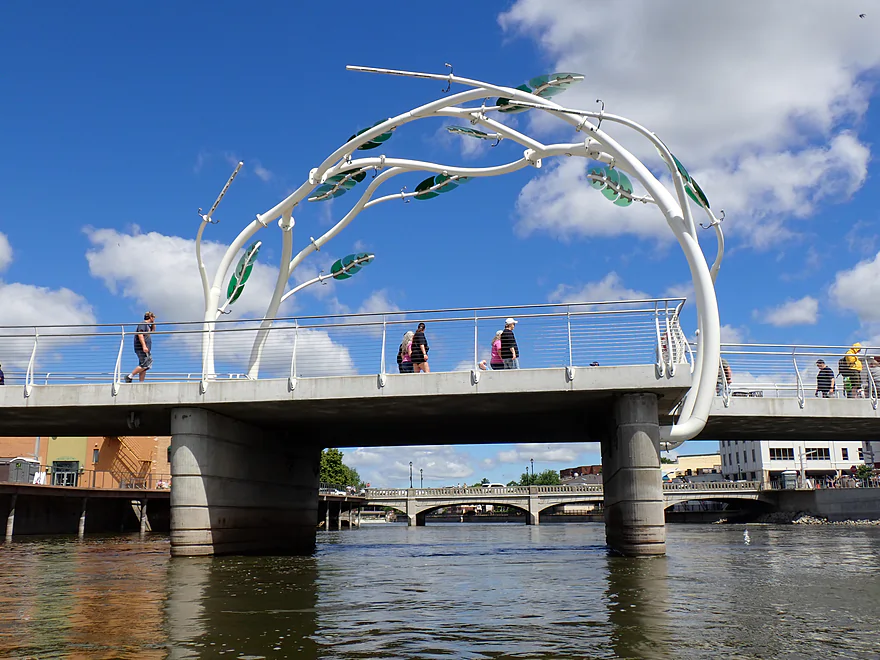
Heritage Pedestrian Bridge
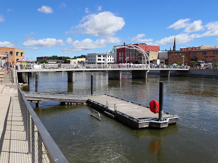
It is a public access with a pier
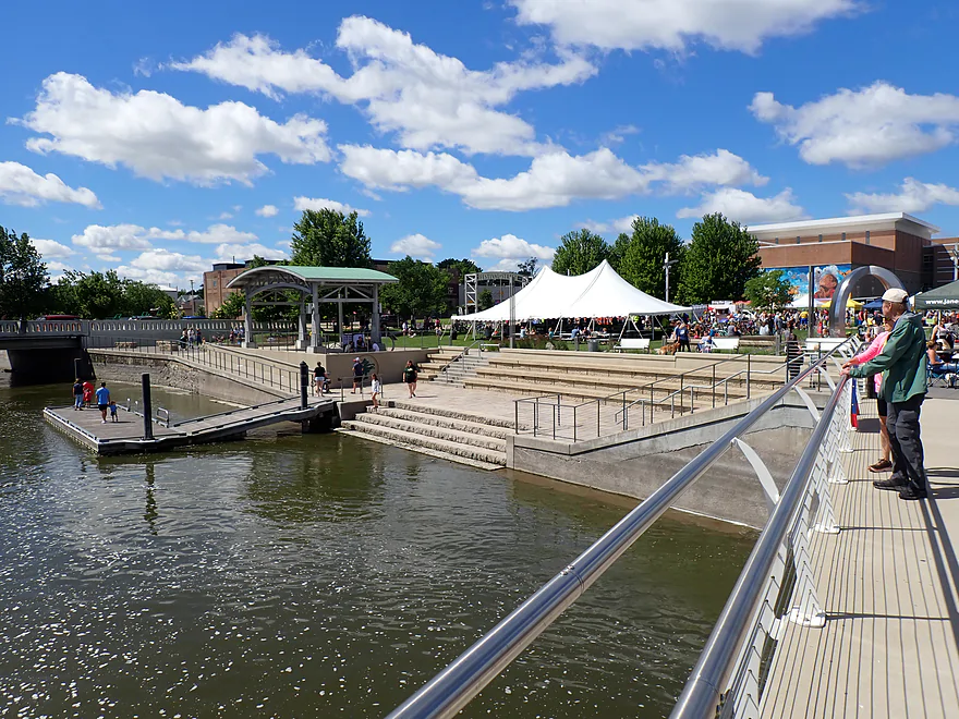
Town Square Park hosts various events and a weekly farmers market
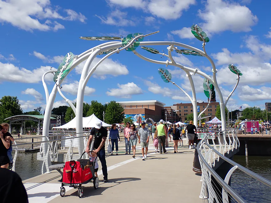
The sculpture is called “Resilience”
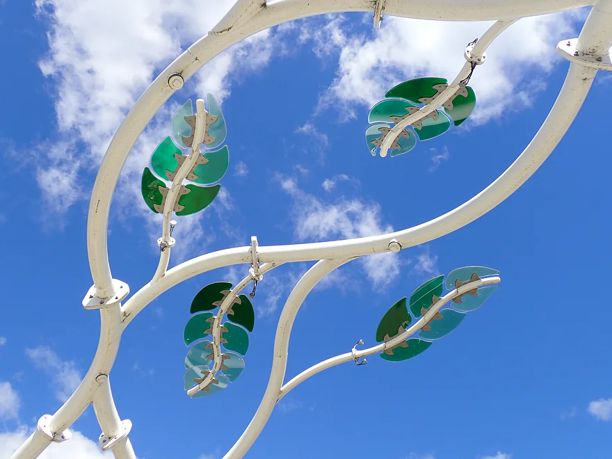
Cool leaf patterns
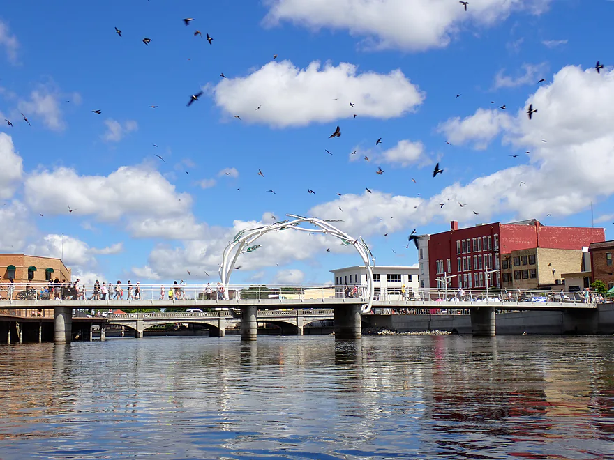
Huge swallow flock
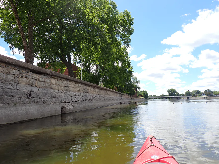
Long retaining walls keep the river hemmed in
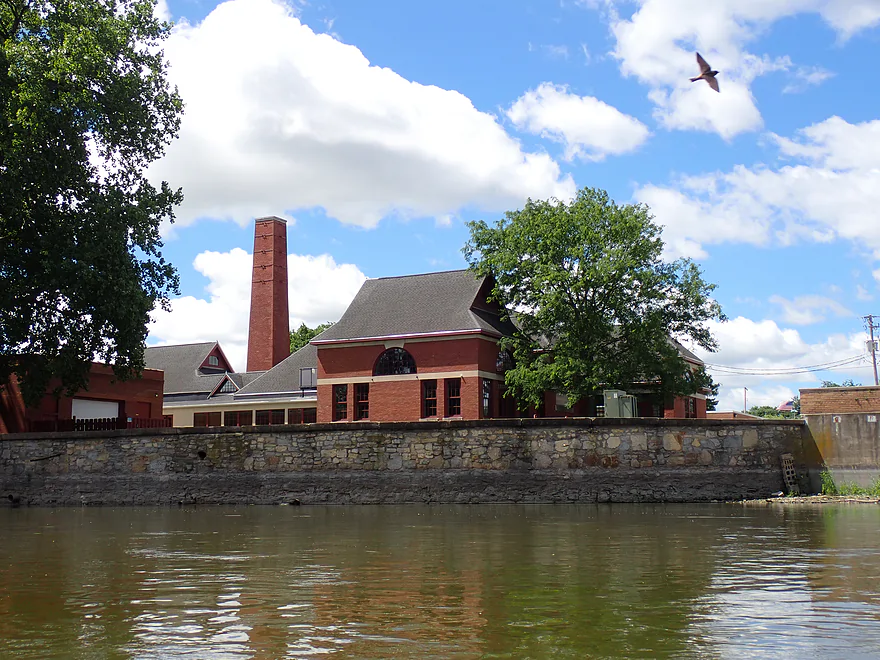
Historic Janesville pumping station
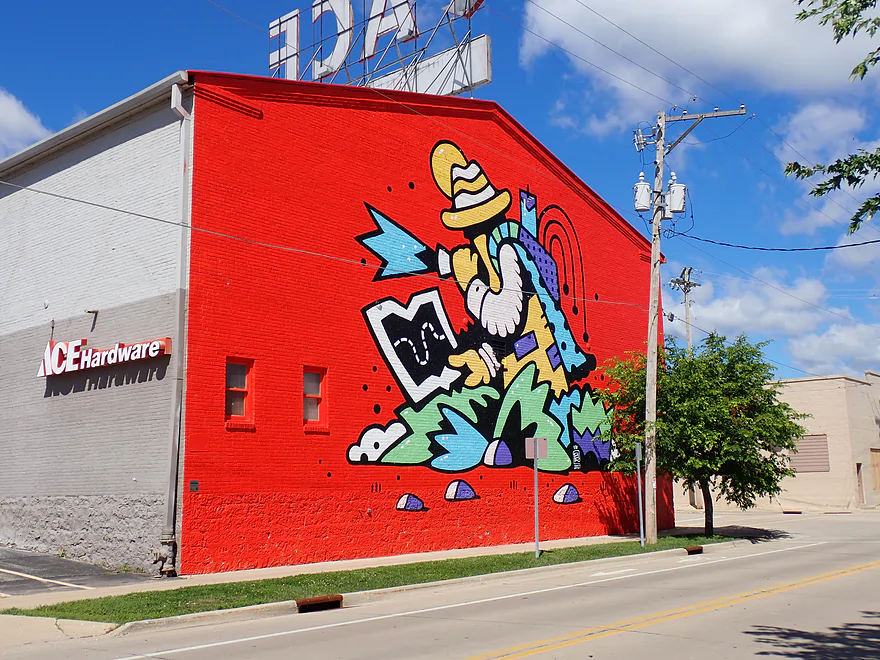
A lot of wall murals were visible from the river
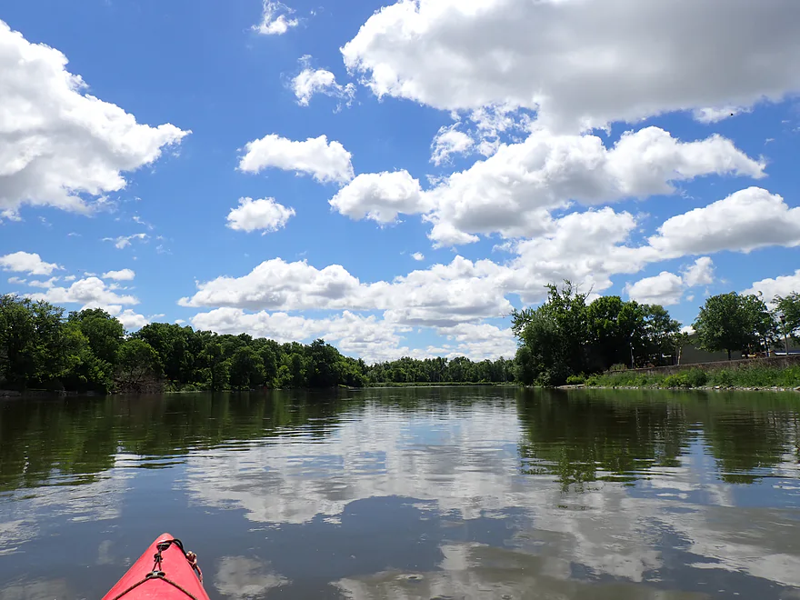
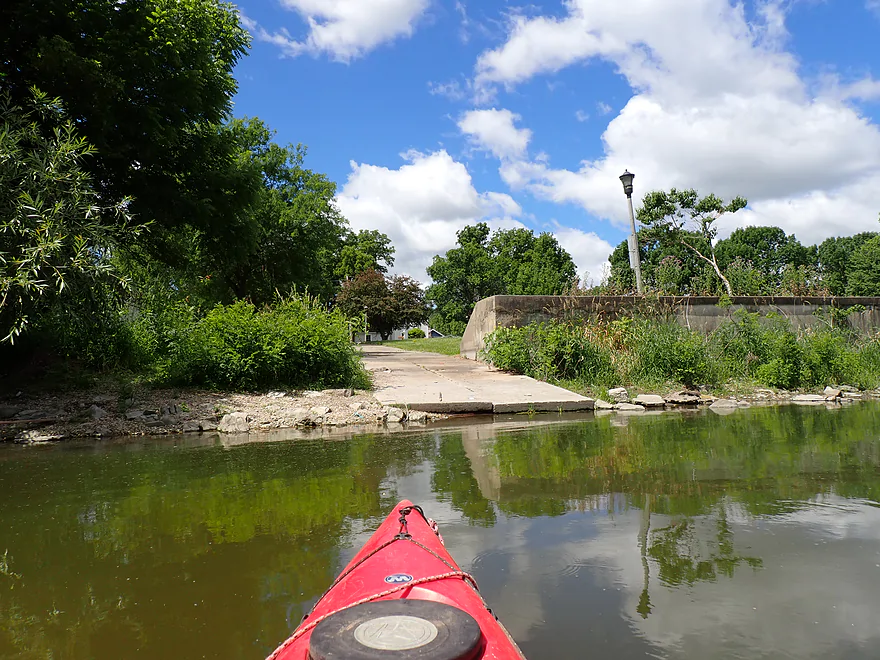
There were several alternate access points along the banks
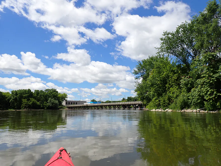
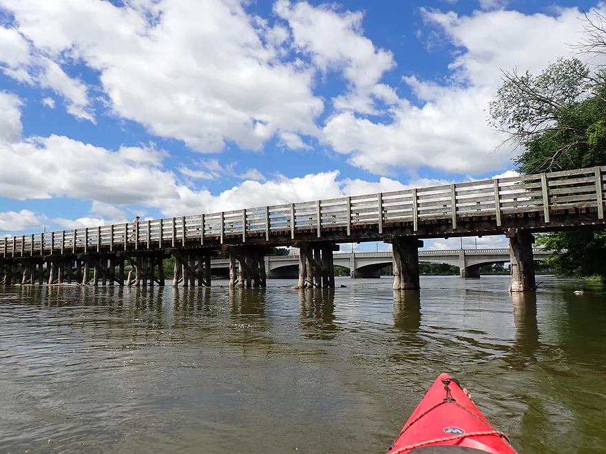
Ice Age Trail bridge
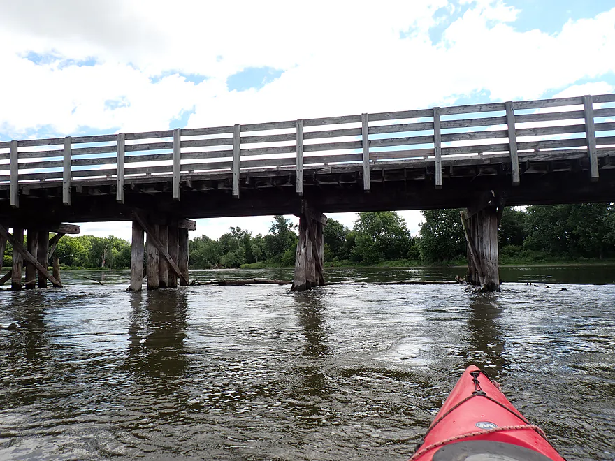
Fast currents, narrow gaps, and strainers make this bridge deceptively dangerous
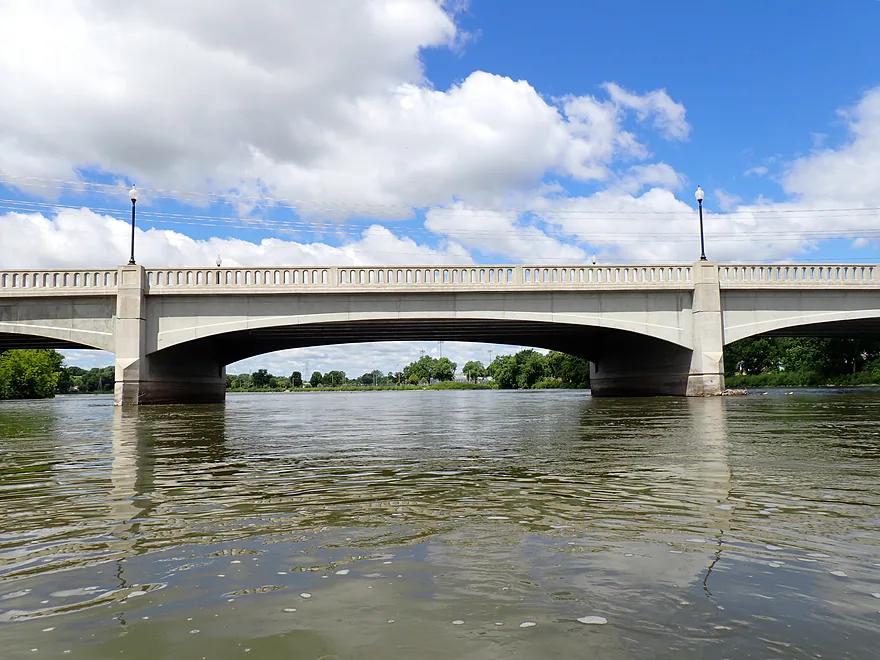
Jackson Street
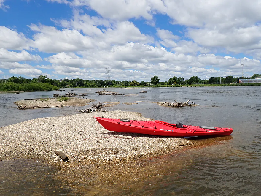
Entering the former Monterey Millpond…now featuring nice gravel bars
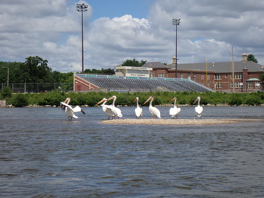
Pelicans hanging out in front of Monterey Stadiom
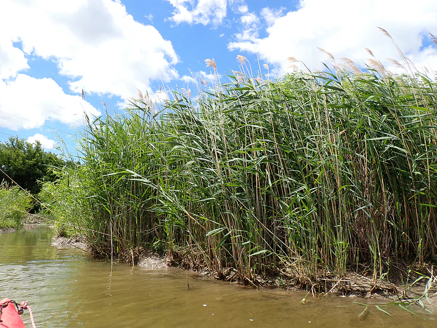
Tall phragmites lining the bank
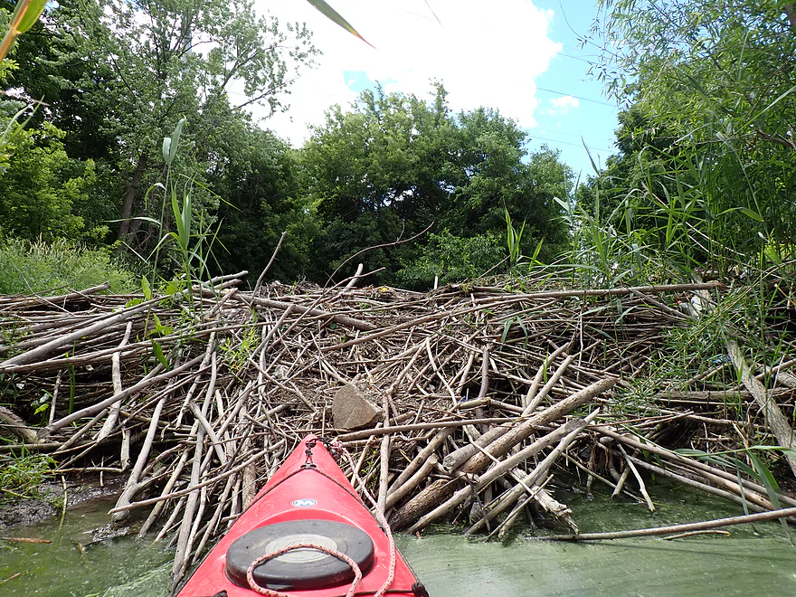
Checking out a beaver dam on a side creek
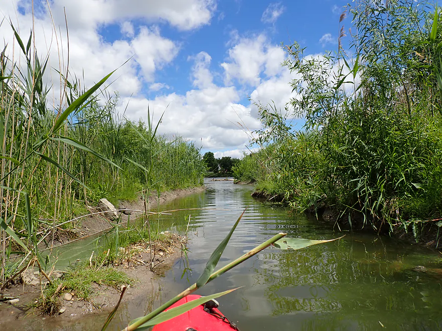
Heading back to the Rock River
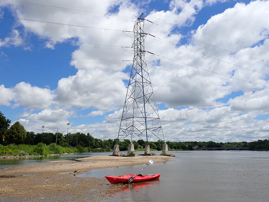
With the flowage drawn down you can see parts of the original coffer dams used for the powerlines
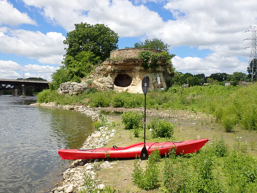
Checking out “Big Rock”
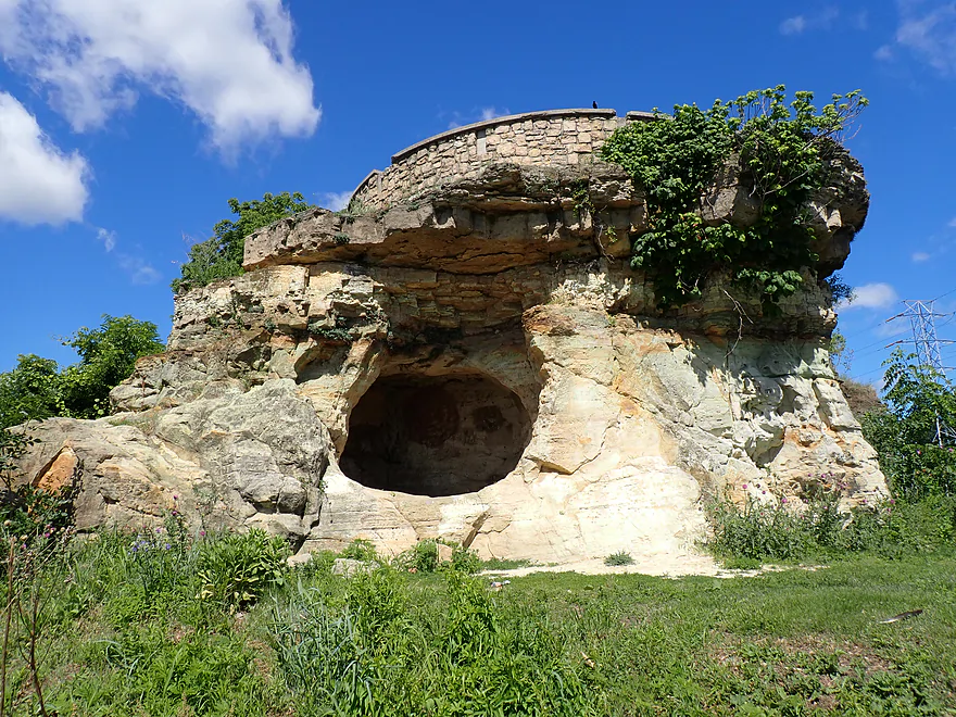
This was a historical landmark (it showed where you could safely ford the river)
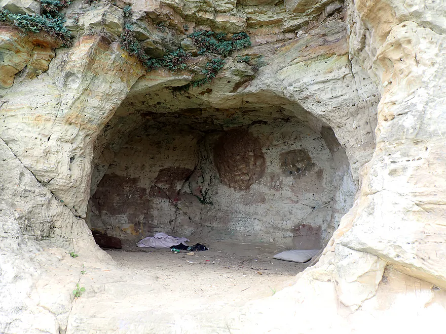
A surprise cave inside (which apparently doubles as a homeless shelter)
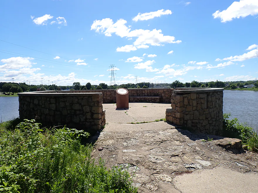
A brick parapet tops the outcrop
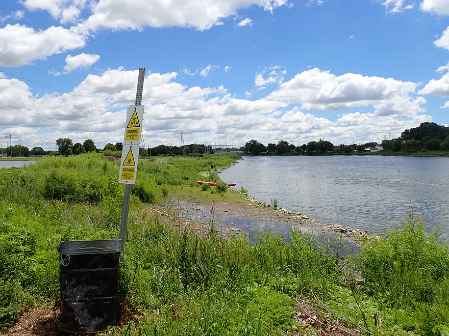
With a view of the former millpond
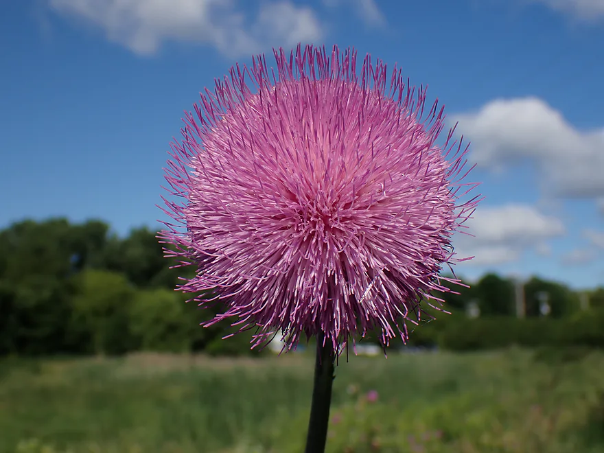
Cool thistle
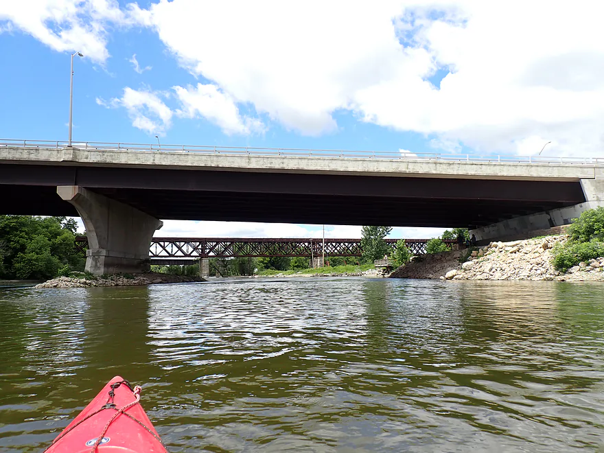
The dangerous Monterey Dam used to be located right under Hwy 51 but was removed in 2018
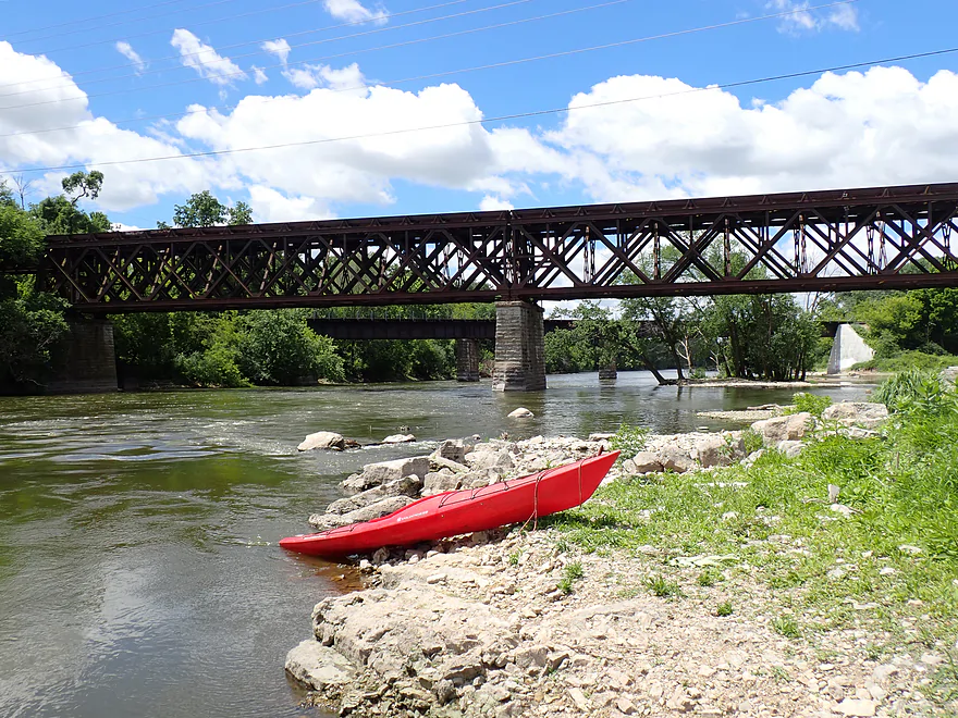
Now only some fun Class 1 rapids remain
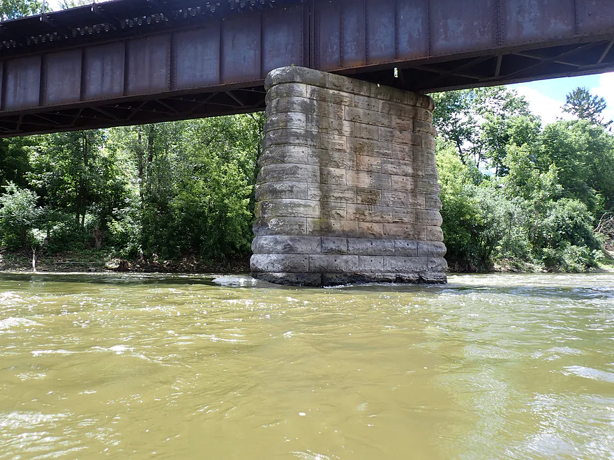
Stay away from the bridge pillers though (note the dangerous pillow currents)
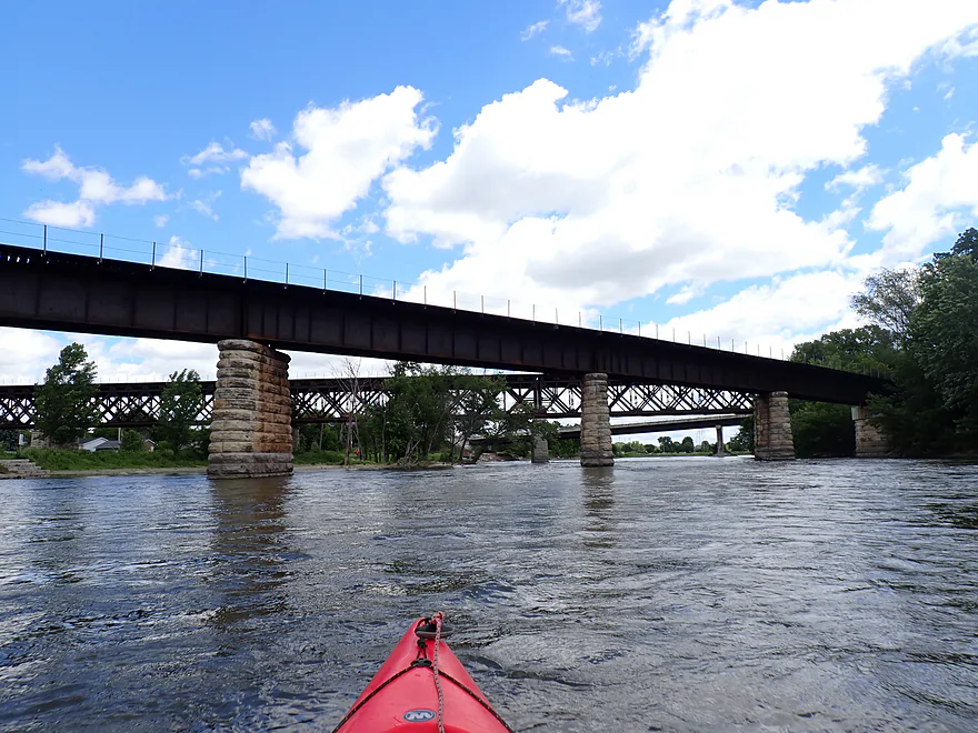
Looking back at three bridges
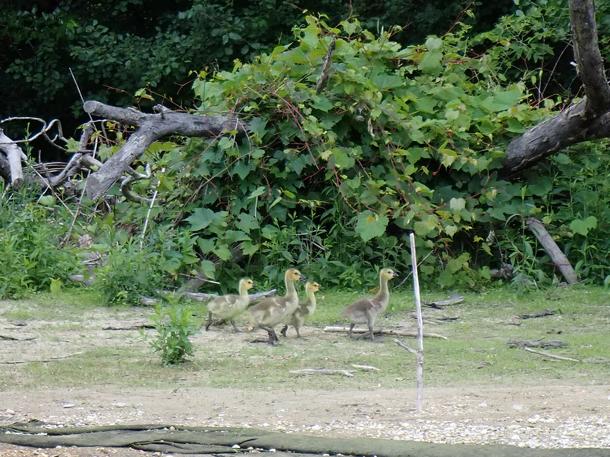
Saw lots of goslings
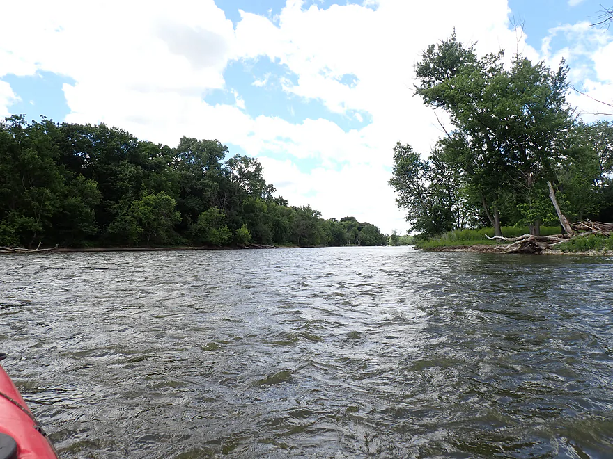
River still stays fast
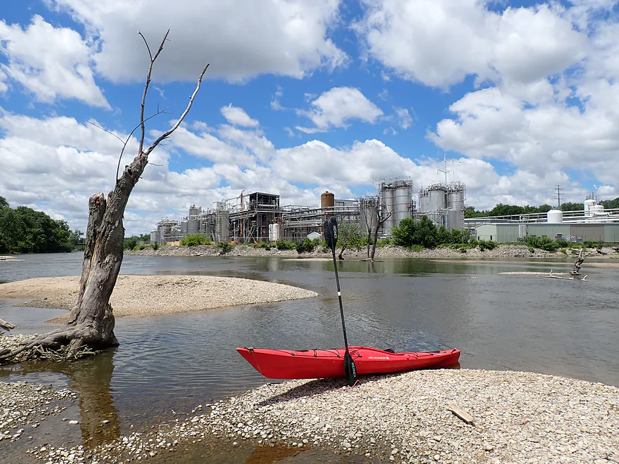
The Evonik Chemical Plant
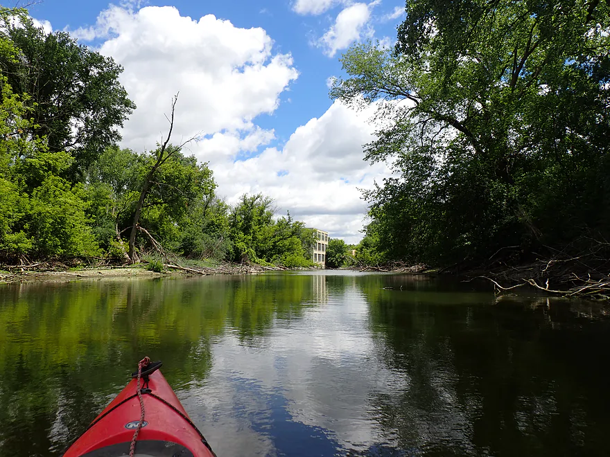
Checking out the old Monterey millrace
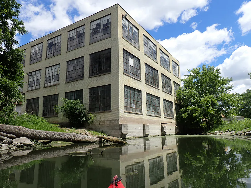
The former Monterey powershouse (no longer active)
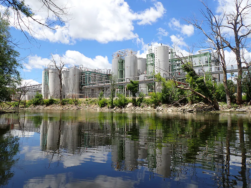
This is where your shampoo and soaps are produced
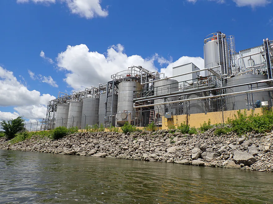
Quite the maze of pipes and tanks
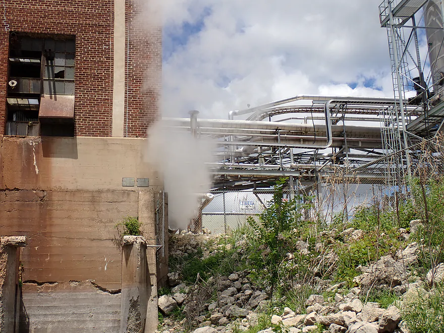
The steam here had an odd chemical smell (likely not good for you)
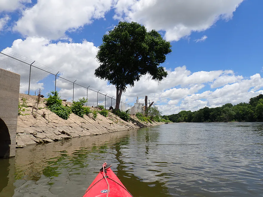
Fences were everywhere…like it was a secret military base
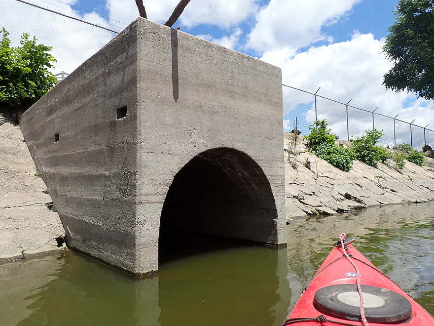
It was a tempting idea and I would have fit but I decided not to
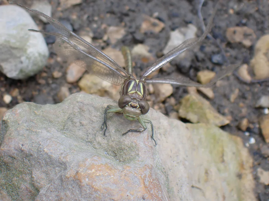
Freshly emerged dragonfly
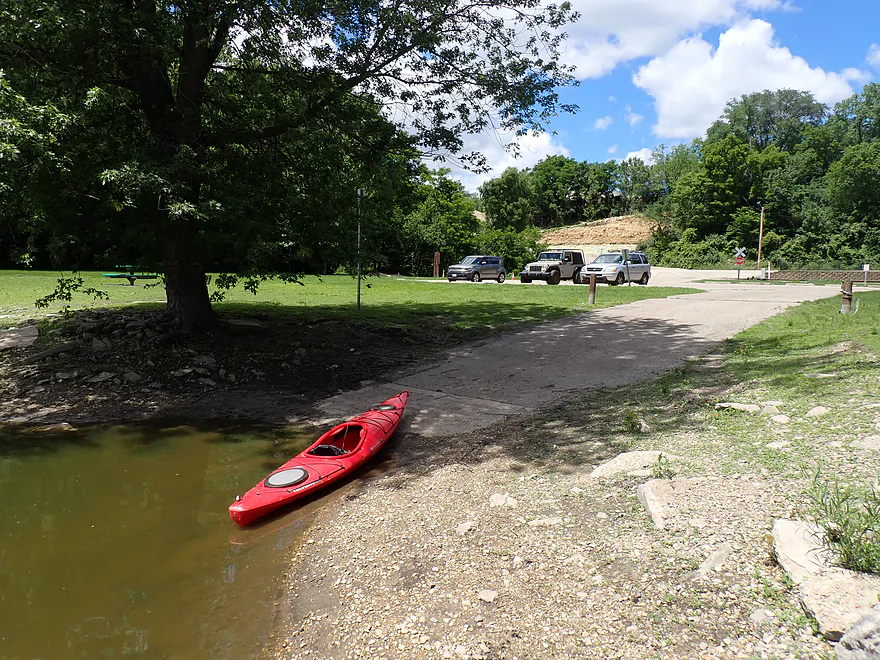
Ending the trip at the Afton Boat Launch
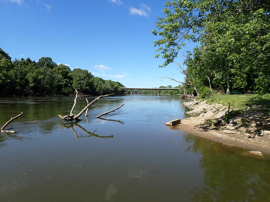
Short trip…but the next downstream landing would have been +8 miles.
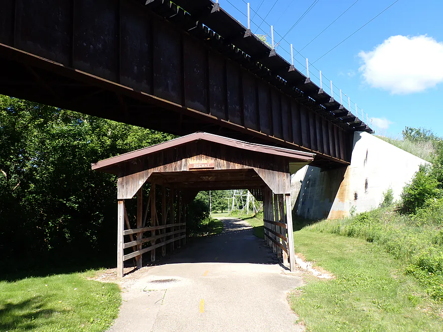
Terrific bike shuttle route on the Ice Age Trail
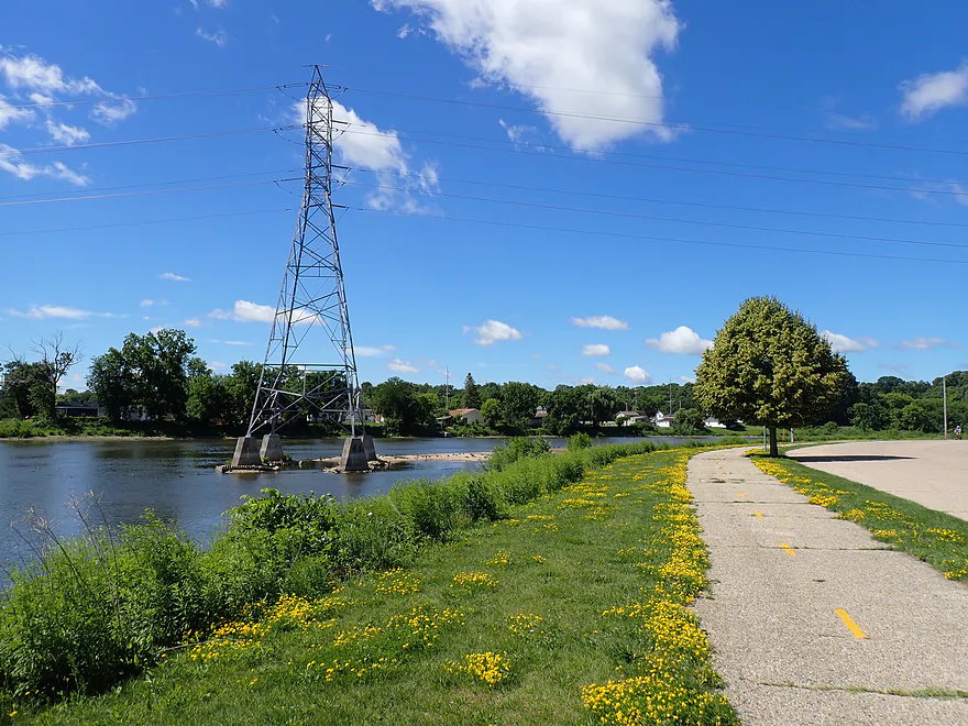
It had some great views of the river


Rock River – Janesville


While the Rock River is a huge South Central Wisconsin watershed, its best kayaking is usually reserved for the upper stretches between Horicon and I-94. Ready for a change of pace, I decided to test the Lower Rock with a paddle through downtown Janesville. The initial plan was a 6.4-mile route from Highway 14 to the Afton Boat Ramp, but a quick scout of the Centerway Dam (the route’s mandatory portage) changed my mind. The water was high and roaring over the spillway. Though the marked portage path is highly accessible, the river’s fast flows above it looked too dicey. I decided to play it safe, cutting the trip in half and using the portage trail as a make-shift put-in for a quick 3-mile downriver run.
Despite a less-than-ideal parking setup, the portage trail provided a highly accessible launch point via a long concrete ramp. Standing at the water’s edge, the downstream view echoed my earlier concerns from scouting upstream: the river was roaring over the low-head dam, with trapped dead trees along the lip. The immediate wake was a froth of turbulent whitewater, and a yellow warning sign, aptly located, warned about the dangerous currents. Under normal flow conditions, I might have paddled upstream for a closer inspection—not today. Fascinatingly, a flock of pelicans had no such reservations—they were actively diving right into the boiling powerhouse outlets where fish were concentrated.
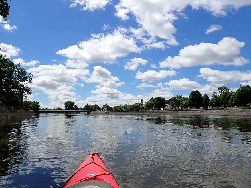
The first mile swept me through the heart of downtown Janesville. Tall concrete retaining walls hemmed in both banks, channeling the flow and forcing the deep water to shoot past like a rocket—making this one of the fastest non-whitewater runs I’ve ever completed. Looking up from the river canyon, it was clear Janesville’s waterfront has been undergoing a massive revitalization. Many of the historic industrial buildings have been repurposed into apartments and commercial spaces, and several previously blank, windowless brick facades are now covered in large murals viewable from the water.
The centerpiece of the downtown riverfront is the block between Milwaukee and Court Streets, where the local farmers market was in full swing. The whole area had a lively, carnival-like energy, with music drifting over the water and people milling about on wide limestone plaza steps leading right down to the river’s edge. Connecting both banks and packed with people was the Heritage Pedestrian Bridge, topped with its distinctive leaf sculpture. It’s interesting to note this popular public hangout used to be the “Plaza Parking Deck”—a literal 80,000-square-foot concrete parking lot built on stilts directly over the water before it was torn down in 2020. As I glided under the crowded bridge, the market DJ shouted over the microphone, “Welcome back, kayakers!” (I was the only boat out there).
As I left the Town Square pavilion, the downtown landscape began to peter out. Past the Racine Street Bridge, the artificial retaining walls finally gave way to natural banks, but the river still featured frequent urban landmarks—I clocked 11 bridges total on this trip. The high water levels made these passages deceptively dangerous; the river shot through the pillars at high velocity, creating powerful currents that wanted to suck my boat right into the pillars. It immediately reminded me of the notorious pinning hazards that have caused fatal accidents on the Wisconsin River.
The most technical challenge was the Ice Age National Scenic Trail pedestrian bridge. It looks harmless from afar, just a rustic wooden walkway crossing the river, but the narrow spaces between its timber piers were partially obstructed by logjams, and some of the pilings were noticeably damaged from previous floods. These woody debris piles act as deadly strainers in high water. To negotiate it safely, you have to read the water carefully and aim for the far right (north) side where the flow is significantly slower, making sure you give the hazardous center section a wide berth.
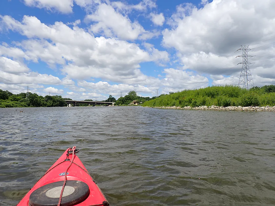
Past the bridges, the river widened and slowed slightly as I entered what used to be the Monterey Millpond. Since the Monterey Dam’s removal in 2018, this stretch of the Rock River has completely transformed. Instead of a stagnant, silted-in millpond, I found a vibrant, free-flowing braided channel dotted with small gravel bars. These islands were teeming with life–packed with pelicans, geese, fuzzy goslings, and huge duck families getting pushed around on the gentle riffles. Along the south bank native plants from a newly established riparian savanna swayed in the breeze, while the north bank featured an attractive paved riverwalk bustling with cyclists, set against the backdrop of the local high school football field.
I soon encountered a sudden rock outcropping on the north bank known historically as “Big Rock.” This famous formation is the namesake of the Rock River itself, once serving as a navigational landmark for pioneers and Natives looking to safely ford the shallow limestone shelf here. Today, the site is topped by a circular stone parapet that serves as an overlook and is connected to the local Ice Age Trail network. At the base of the outcrop is a decent cave, which I was tempted to explore until I saw the sleeping bags and pillows, clear evidence of a homeless encampment.
Passing under Highway 51 puts you over the remnants of the old Monterey Dam (removal video here). The remaining rapids create an incredibly fast run. This is a unique and scenic area with wooded southern banks, a public park with a rocky shoreline and fishermen on the north bank, and a unique trifecta of bridges overhead featuring a historic railroad trestle. Before 2018, this corridor was dominated by a massive, L-shaped concrete monstrosity built for obsolete industrial power. It was also a dangerous hazard; a 27-year-old Illinois kayaker attempting a long-distance trip on the Rock in 2018 became trapped in the dam’s outwash but was eventually rescued.
Rounding a swift bend, I met the sprawling Evonik plant, which makes surfactants for soaps and shampoos. Its massive maze of plumbing and storage tanks would easily put any Factorio scenario to shame. Vents belched what should have been innocent cooling steam, but it carried a strong chemical smell. Knowing the plant handles toxic carcinogens like methyl chloride and ethylene oxide made me not want to linger, but I still detoured up the old millrace to check out a shuttered historic powerhouse.
I ended my trip just past the factory at the Afton Launch, a ramp reserved strictly for paddlers (perhaps the current is considered too tricky for motorboats). Though short, this run served as an excellent tour of Janesville’s downtown riverfront. The biggest surprise was the shockingly fast current. High water turned this into an advanced trip–the swift flows and numerous bridge pillars pose real hazards, meaning beginners should wait for calmer, late-summer conditions. While this stretch lacks pristine wilderness and carries some urban flaws (broken glass was everywhere), the river and community revitalization was impressive. Paddling past the vibrant downtown, active gravel bars, pelican flocks, the old dam rapids, and even the industrial spectacle of the chemical plant made for a very interesting trip.
Noteworthy Wildlife: Sights included deer, turtles, ducks, geese with fuzzy goslings, and a tall beaver dam off a side creek. Pelicans (looking like pterodactyls) were scattered all along the river and allowed me to get relatively close. Below the dam they recklessly swam right up the turbulent outwash, practically entering the powerhouse exits for fish.
Janesville Centerway Dam: Although this isn’t an official boat launch, fishermen use the riverbank below the dam regularly and the public portage path offers a convenient launch point. The real trick here is parking. Plenty of nearby lots look tempting, but most are strictly reserved for private apartments. You could try parking right on River Street—and I did see another car there—but it’s not ideal for a long day on the water. Your best bet is to treat this as a quick unloading zone: drop your gear, then drive a block west or south to find proper public street parking (see the Downtown Janesville Parking Map). Aside from the parking logistics, it’s a great spot to start your trip.
Alt Put-ins:
- Rock River Park/Hwy 14 (4.7 miles upstream from the Centerway Dam): While it’s a solid access point, the paddling here is a bit meh—a slow, overdeveloped stretch through Northern Janesville crowded with shoreline homes and motorboats. On the plus side, you still get some nice views of local parks and wooded hills along the way.
- There are plenty of alternative access locations both above and below the dam (check the overview map for details), but the Centerway Dam portage path is arguably your best option despite the tricky parking. Because you launch right below the dam, you skip the portage entirely while still getting to float through downtown Janesville—a scenic stretch that downstream access points miss.
Afton Road Boat Launch: This is an excellent public boat ramp. It’s limited to small craft, meaning you won’t have to compete with large motorboats. Just note that there are no restrooms on site.
Alt Take-outs:
- Above Afton: There are many (see the overview map for details).
- Happy Hollow Park (7.8 miles downstream from Afton): A solid access point, but a mediocre paddle. It is surprisingly wooded and free-flowing with no dams, yet the bankside scenery is mostly generic, scrubby floodbottom trees.
Bike Shuttle – Afton Launch to Janesville Centerway Dam: 3.0 miles with 26′ of ascent. Skip the tempting downtown “shortcut” to get north—it’s a mess of confusing intersections, stoplights, and really bad drivers. Instead, hug the river and take the mostly paved Ice Age Trail. It’s a fantastic route with gorgeous river views and, honestly, one of the best bike shuttles I’ve ever done. The trail was packed with other cyclists, and for good reason—I later realized I had unwittingly joined the “Janesville Morning Rotary’s 26th Annual Pie Ride!”
Centerway Dam: Even when launching below the dam, high water can make the immediate downstream area dangerous due to strong outwash and undertows. You will be perfectly fine launching from the portage ramp—just do not paddle upstream toward the turbulent water.
Centerway Dam Portage: If extending your trip by launching further upstream, the official portage path runs along the west bank. It is doable, but the upstream take-out sits uncomfortably close to the powerhouse. Because the river rushes fast toward the spillway during high flows, portaging here is not recommended unless you pull out well upstream of the Centerway Bridge. Scout this on foot before committing.
Strong Currents: This stretch featured some of the fastest non-whitewater current I’ve ever paddled. High water played a major part, but lower Janesville always moves at a good clip because large retaining walls funnel the river straight and narrow. The speed itself isn’t the real danger—it’s the bridge pylons. Fast current slamming into a vertical obstacle creates violent, unpredictable pressure waves that can easily capsize a kayak. Once you are sideways or upside down, the sheer force of the river can glue and wrap your boat against the pylon—a deadly pinning situation that has tragically claimed many paddlers’ lives (especially on the Wisconsin River).
The trickiest spot is the rustic wooden Ice Age Trail bridge running parallel to the Jackson Street bridge. Its tightly spaced supports create narrow gaps to navigate, and several have trapped deadfall strainers. Stay to the outside where the water slows, give all bridge supports a wide berth, and carefully thread your way through.
Besides staying clear of the bridge pylons, the other key to this trip is water levels. The depth during my run was simply too high, fast, and pushy for most paddlers; it will be much safer when the river drops.
Lack of Outhouses: It’s kind of funny really, but there really aren’t any spots along the river or at the access points to take a bathroom break. Granted, there are a few scattered options if you look for them, though nothing is particularly convenient. For instance, the Town Square Pavilion has public restrooms for their farmers market and steps where you can pull out.
Rapids: You’ll encounter Class I rapids both above and below the site of the former Monterey Dam. The rapids themselves aren’t overly technical, but the real threat in the area are the pillow currents forming on the railroad bridge pylons. Stay well away from them.
Broken Glass: It’s everywhere–in the river and on the shoreline. Not a trip to go wading barefoot.
Trip Depth: 2350 CFS or 5.04′
Navigability Estimates: These are just rough estimates.
- < 1,200 CFS: While the main channel remains deep, the old millpond area and shallow flats will require minor to moderate wading. Expect to get out of the boat in a few spots.
- 1200-1500 CFS: Generally good paddling depth. The old millpond is mostly passable, though the current may start to feel a smidge pushy around the city bridges.
- 1501-1800 CFS: A common spring depth. Current will move at a good clip and be pushy in spots.
- 1801-2200 CFS: Full river with strong, heavy currents. Only experienced paddlers with solid boat control should be on the river during these flows.
- 2201-2500: Very high and deceptively dangerous. Very fast current with heavy outwash below the dams and turbulent, deceptive currents by the bridge pylons. Expert paddlers only.
- 2501-3000 CFS: Approaching flood stage. All paddlers should stay off the river at this point.
- 3001+ CFS: Flood Stage Conditions. The river will burst its banks in a few places. Where there is a distinct channel, the current will be incredibly powerful, debris-heavy, and dangerous.
Detailed Overview
East Branch:
- Upstream of Hillcrest Drive: I believe these portions are too congested to paddle.
- Hillcrest Drive to Hwy DW: 4.1 miles.
- Hillcrest Drive to Riveredge Park: 0.9 miles. Scenic stretch through the outskirts of Allenton with good clarity. However, there are two major logjams to portage and several minor logjams to squeak past.
- Riveredge Park to Hwy DW: 2.7 miles. An open stretch through wetgrass and a state natural area. One logjam needs to be portaged.
- Hwy DW to Hwy D: 5.5 miles. Outside of one nasty logjam cluster, this is a pretty open creek paddle through a protected wildlife area that might be decent.
- Hwy D Wayside to N. Pole Rd. Launch: 7.3 miles. A good wetland paddle prospect through Theresa Marsh. Maybe 1-2 downed trees on the upper part.
- Kohlsville River: Note, the Kohlsville River joins the East Branch here, but it seems too congested with downed trees to be feasible for paddling.
- N. Pole Rd to Gill Rd (East): 6.0 miles.
- N. Pole Rd Landing to River Edge Park: 1.3 miles. A slow, open, and marshy channel. Nice though.
- River Edge Park to Rock River Street/Dam: 0.5 miles. A nice town paddle through the community of Theresa. One dam to portage.
- Rock River Street/Dam to Hwy AY: 3.5 miles. One of my favorite stretches on the entire Rock River. While shallow in spots, it is scenic with nice woods, small boulder gardens and multiple light rapids.
- Hwy AY to Gill Road (East): 0.7 miles. A brief wooded stretch that is a nice paddle.
- Gill Road (East) to Hwy 67/Dam: 8.3 miles.
- Gill Road (East) to McArthur Road/Fink Creek: 4.7 miles. Starts boring, weedy, and slow, but gets nice with clear water and rocks later on. Gill Road (West) may be a viable halfway access.
- McArthur Road to Hwy 67/Dam: 3.6 miles. A less interesting paddle through a flowage and downtown Mayville with numerous alt take-outs.
- Hwy 67/Dam to Green Head Road Ramp: 6.4 miles.
- Hwy 67 to Hwy Y/Ziegler Park: 1.9 miles. One of the best paddling stretches on the entire Rock River with good current and small boulder gardens.
- Hwy Y to Hwy TW/Kekoskee Pond Ramp: 1.9 miles. A good stretch that includes a little bit of flowage paddling.
- Hwy TW to Green Head Road Ramp: 2.6 miles. An ok stretch as the river really slows and starts to turn into marsh.
- Green Head Road to N. Nebraska St. Ramp: 10.0 miles. The most popular route through Horicon Marsh. Known for its waterfowl.
South Branch:
- Upstream of E. Rock River Rd.: I suspect downed trees are too much of an issue for this to be navigable.
- E. Rock River Road to Hwy 49: 1.6 miles. Perhaps a cluster of downed trees in the middle and an electric fence upstream of Hwy 49.
- Hwy 49 to Waupun Park: 1.7 miles. Hwy 49 is not ideal for launching, but should be doable. A good prospect mostly through a golf course. Maybe 2 logjams?
- Waupun Park to E. Waupun Road: 7.2 miles. A good section.
- Waupun Park to Tanner Park: 3.1 miles. Great section though downtown Waupun. Alt access at Pine Street Park, Meadow View Park and Harris Mill Park.
- Tanner Park to Roadside Park: 3.2 miles. A pleasant paddle through a mixture of woods and open areas. A couple of logjam squeakers and one major portage.
- Roadside Park to E. Waupun Road: 0.9 miles. River widens, slows, and gets less interesting.
- E. Waupun Road to Dike Road: 10.0 miles. This is the northern unit of Horicon Marsh and is off limits to paddlers per National Wildlife Refuge rules.
- Dike Road to N. Nebraska St. Ramp: 5.6 miles. Am 80% sure you can drive on Dike Road from the east to launch in the ditch. Mostly a long, straight canal paddle through Horicon Marsh with perhaps interesting side canals to explore. You can also launch in a west canal by Burnett Ditch Road. The city of Horicon marks the confluence of the South and East Branches of the Rock River.
West Branch:
It’s a neat prospect, but I suspect the logjam situation is too much (I could be wrong).
Main Branch:
- N. Nebraska St. to Legion Park/Dam: 0.9 miles. An ok section through downtown Horicon.
- Legion Park to River Bend Park: 1.1 miles. Simple river segment…probably nothing too special.
- River Bend Park to Lions Park: 8.8 miles. A large and probably uninteresting flowage. If you get permission to take out at Ox-Bo Marine, you can avoid much of the flowage paddling.
- Lions Park to Elmwood Park: 7.2 miles. Trip starts nice with a great boulder garden, but becomes less interesting as the current dies.
- Elmwood Park to Hwy MM: 4.4 miles. An interesting prospect recommended by Frank Piraino.
- Hwy MM to Harnischfeger Park: 6.9 miles.
- Harnischfeger Park to Kaul Park/Hwy CW: 5.1 miles. Despite slow current and some motorboat traffic, this is a pleasant and relatively secluded stretch of the Upper Rock River.
- Kaul Park to Kanow Park: 5.7 miles. Despite a lack of current, dead trees, and some mud, this is a very nice leg and one of the better stretches on the Rock River.
- Kanow Park to Hwy F: 5.0 miles.
- Hwy F to Wayside Park: 0.9 miles. Short but scenic leg.
- Wayside Park to Rockvale Road: 1.9 miles. Slow, simple stretch but pleasant.
- Rockvale Road to Hwy F: 2.4 miles. Scenic leg.
- Hwy F to Hwy P: 6.0 miles. This isn't an elite trip with slow current and no exotic scenery. But it is pleasant and one of the nicer legs on the Lower Rock.
- Hwy P to Dam1st/Front St.: 5.6 miles. Probably an uninteresting flowage paddle.
- Dam(1st)/Front St. to Dam(2nd)/S. 1st Street: 2.6 miles. Possibly a unique paddle through downtown Watertown.
- Watertown Dam/1st Street to Cappie's Landing: 3.5 miles. A mediocre prospect.
- Cappie's Landing to Crossroads Landing: 9.3 miles. The put-in is SE of Hwy 26 via Jefferson Road. This segment is more undeveloped, but is still probably mediocre at best.
- Crossroad Landing to Hwy B Boat Launch: 1.6 miles. Maybe a boring mini leg...it does pass under busy I-94.
- Hwy B to Lubahn Park/N. Watertown Ave: 4.1 miles. Probably uninteresting.
- Lubahn Park to Tensfeldt Park: 2.3 miles. Paddling through downtown Jefferson might be unique, but there is a dam to portage. Many alt landings in Jefferson.
- Tensfeldt Park to Klement Park: 4.2 miles. Probably an uninteresting tweener section between Jefferson and Fort Atkinson.
- Klement Park to Lorman Bicentennial Park: 3.1 miles. A weak prospect through downtown Fort Atkinson.
- Lorman Park to Hwy 26 Ramp: 3.3 miles. A weak prospect.
- Hwy 26 to E. Knudsen Road Ramp: 11.8 miles. Mostly boring paddling on Lake Koshkonong. Many other launches on the lake.
- E. Knudsen Road Ramp to Hwy M/Dam: 3.4 miles. Boring flowage.
- Hwy M/Dam to Hwy 14: 8.2 miles. Probably uninteresting.
- Hwy 14/Rock River Park to Centerway Dam: 4.7 miles. This is a slow impounded stretch that flows through the north end of Janesville. It does include some nice parks and wooded hills, but also many piers, riverside developments, and motorboat traffic. There are many intermediate access points to choose from (see overview map for details).
- Centerway Dam to Afton Boat Launch: 2.9 miles. An interesting leg through Janesville's revitalized riverfront. Highlights include unique bridges, building art, some rapids, a cave, good waterfowl and a recently removed dam. This section can be tricky if not dangerous due to fast currents (especially when water levels are high). There are many alternative access points to choose from that aren't listed.
- Afton Boat Launch to Happy Hollow Park: 7.8 miles. A mediocre section with wooded banks, but mostly beat-up flood-bottom trees. The river here is mostly free flowing and not impounded by any dams.
- Happy Hollow Park to Preservation Park Boat launch: 3.2 miles.
- Preservation Park to Wooton Park Boat Ramp: 3.0 miles. Start of urban paddling in Beloit. Numerous other launch options in Beloit proper.
- Further Rock River Trips: From here on, you are in Illinois. For further information see “Paddling Illinois” or Rockrivertrail.com.
Trip Map
Overview Map
Video
Photos Size:
How did your trip turn out? Questions or comments? Feel free to leave your feedback.
