
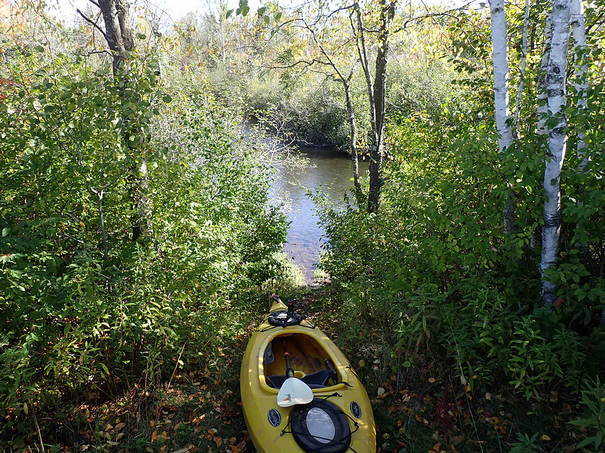
Starting the trip at Prairie Road
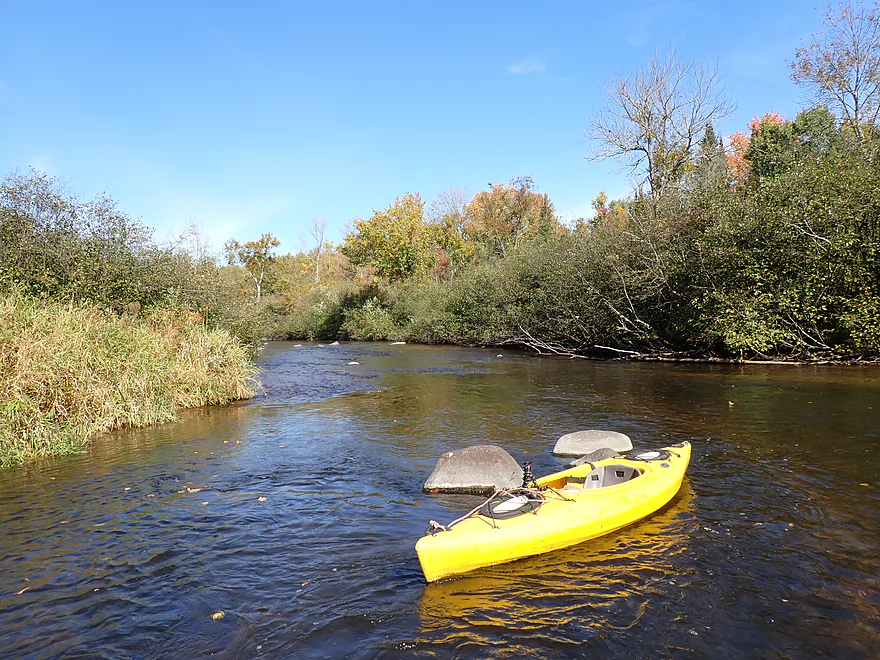
River starts scenic
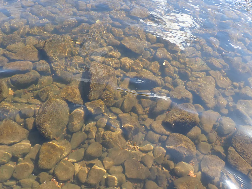
Great clarity
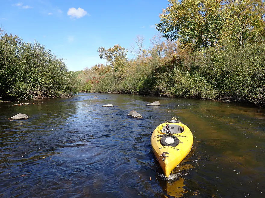
Riffly current and a small boulder garden
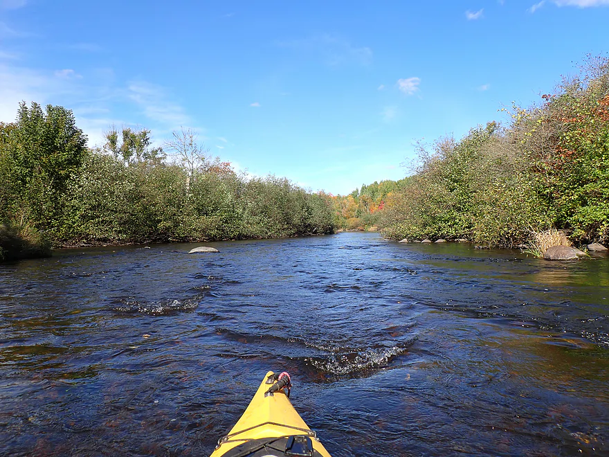
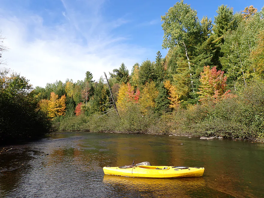
Surprisingly good color trip
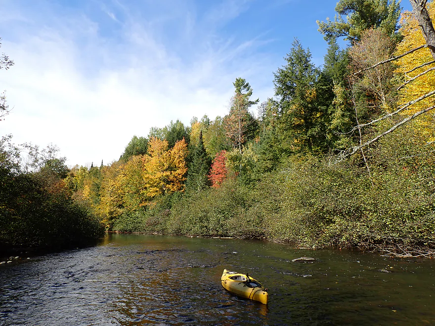
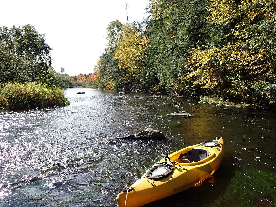
More light rapids
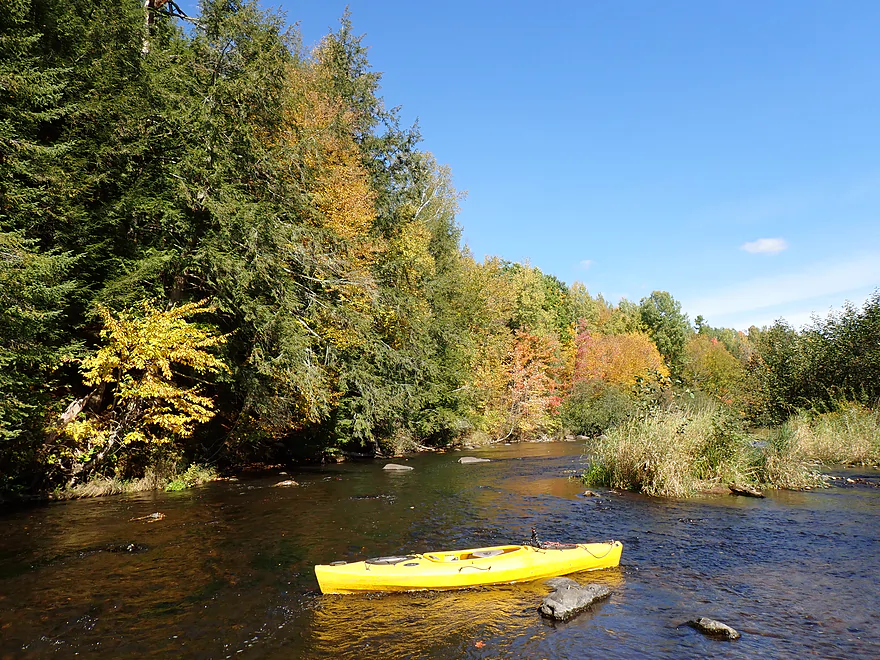
Great hemlock stands
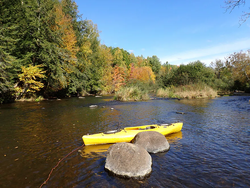
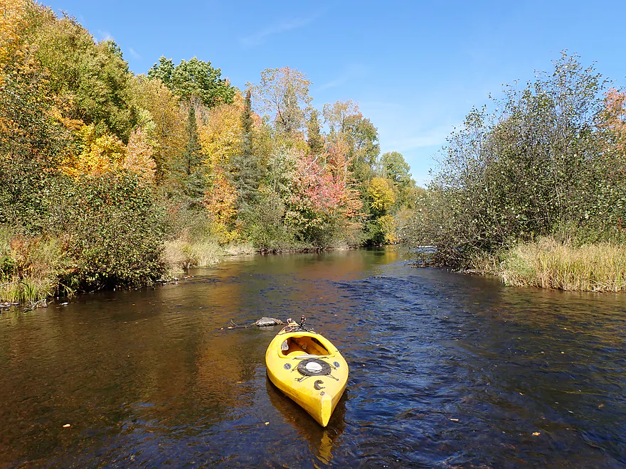
Surprising number of maples
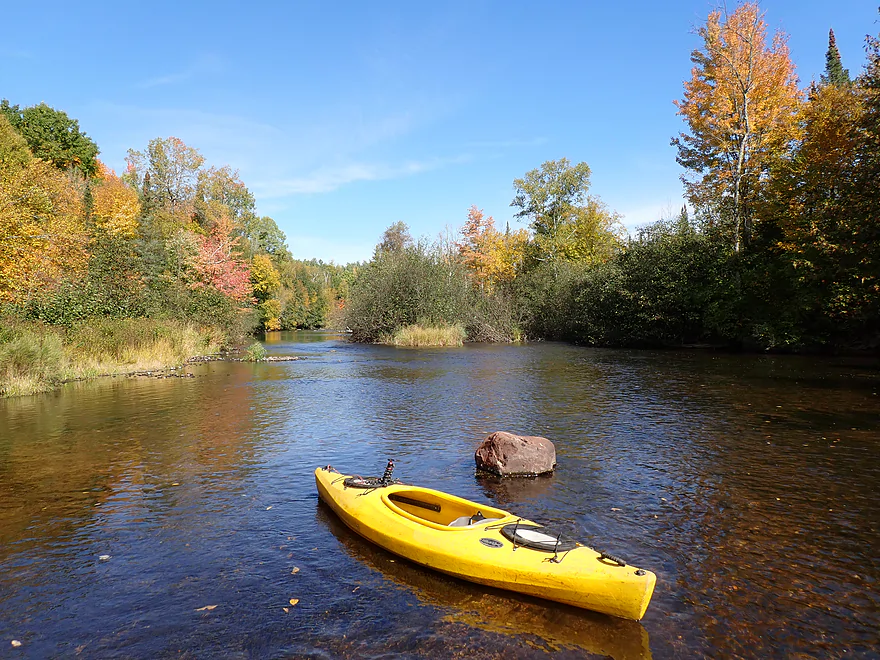
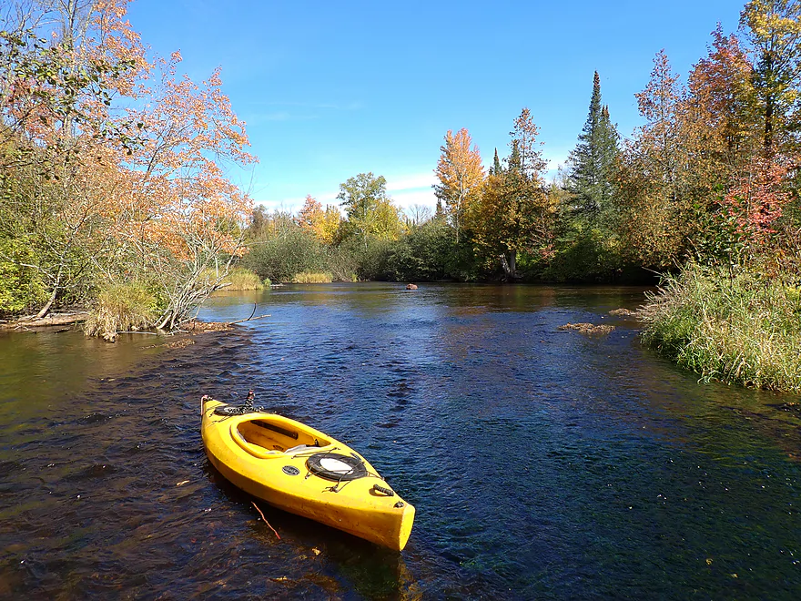
Steeple-like balsam firs poke the sky
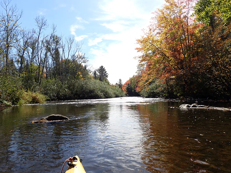
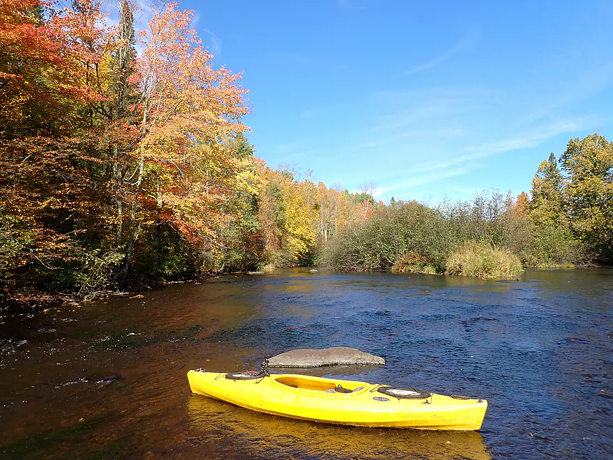
I got out frequently for pictures
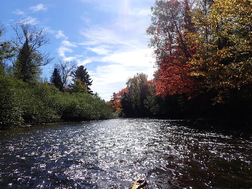
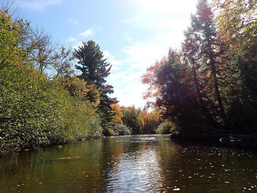
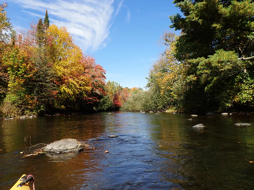
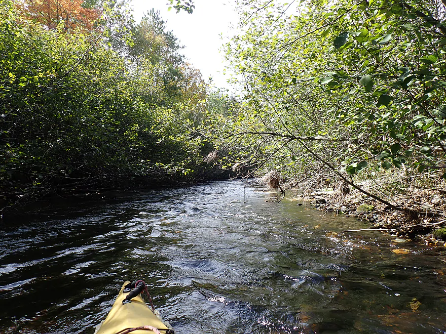
Middle part of the trip featured less attractive alders
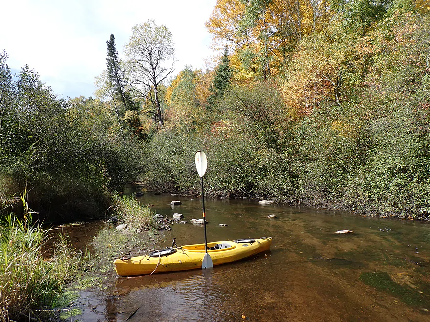
Exploring a shallow side channel
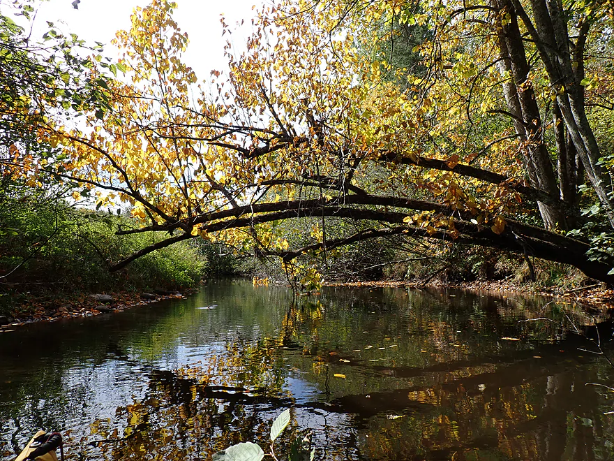
I never had to portage any logjams
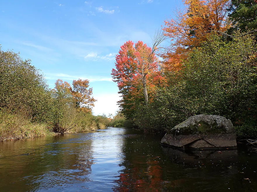
Largest boulder of the trip
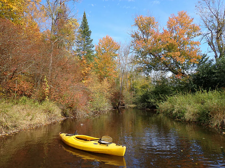
Exploring another side channel
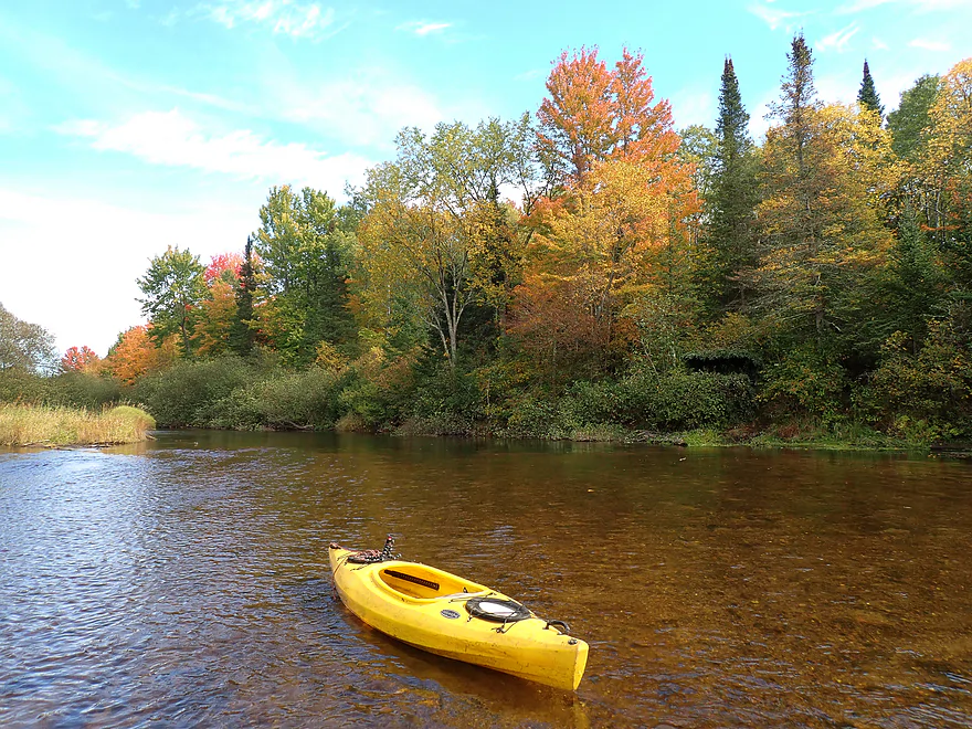
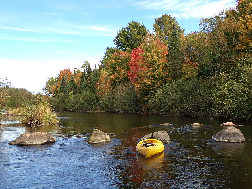
Nicest boulder garden of the trip
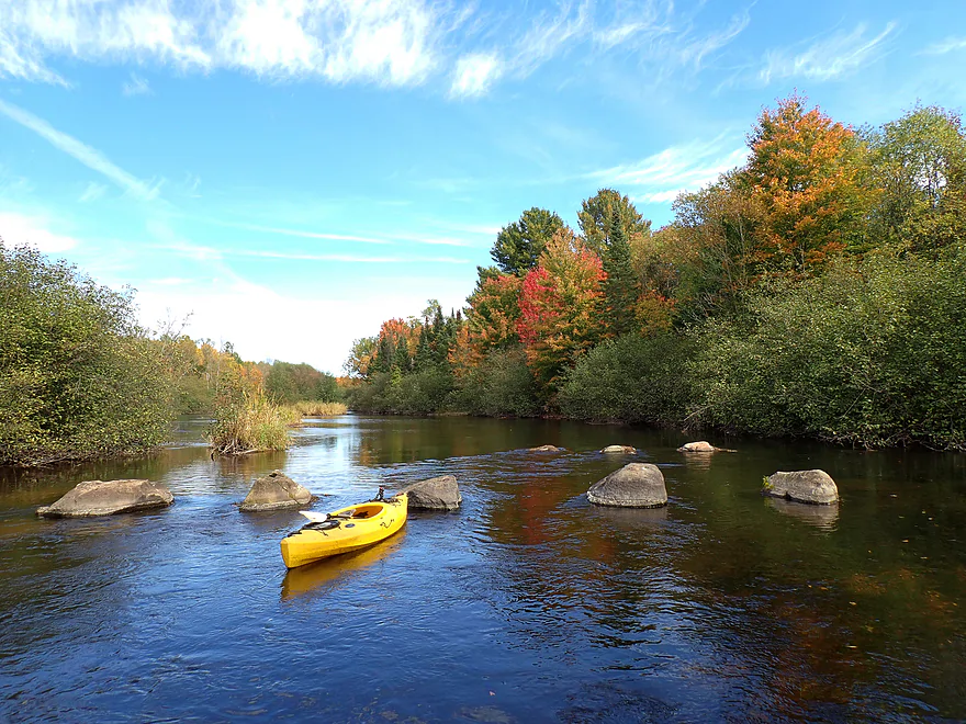
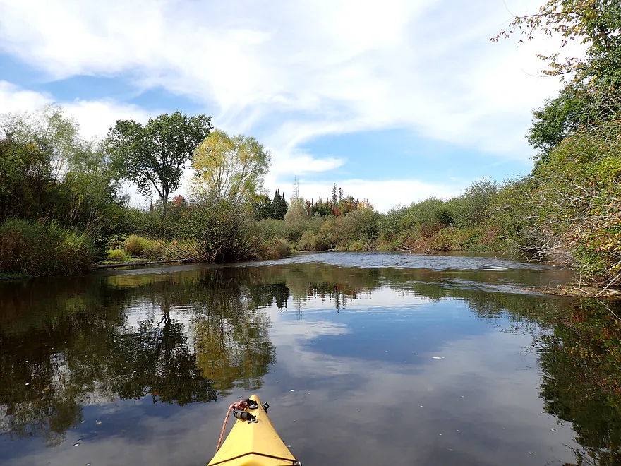
Trip gets a bit less interesting after that
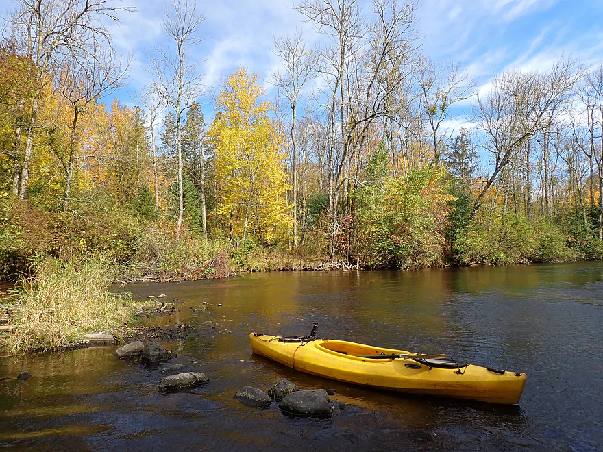
I think those are dead ash trees
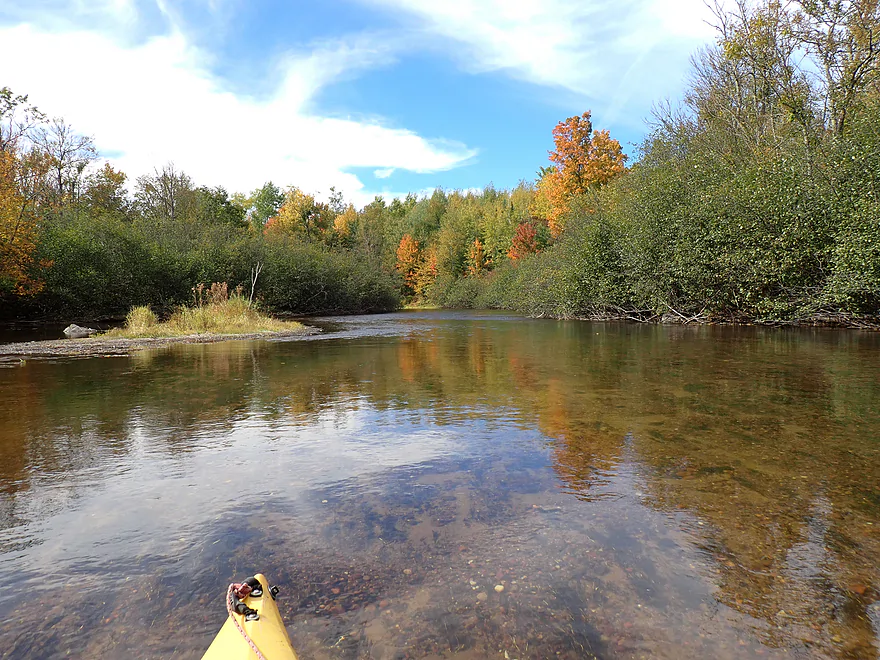
More great clarity
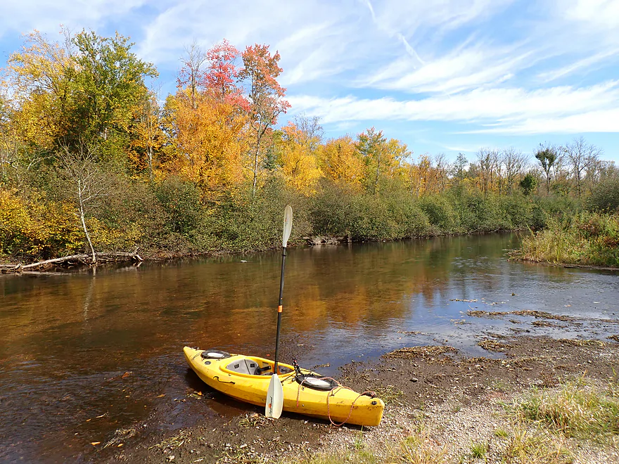
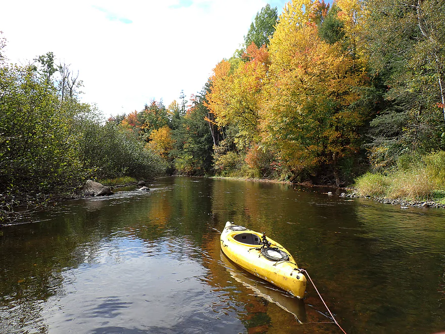
Final leg was very scenic
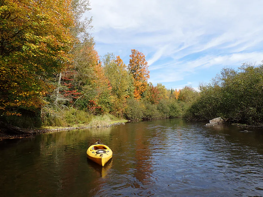
Reverse view
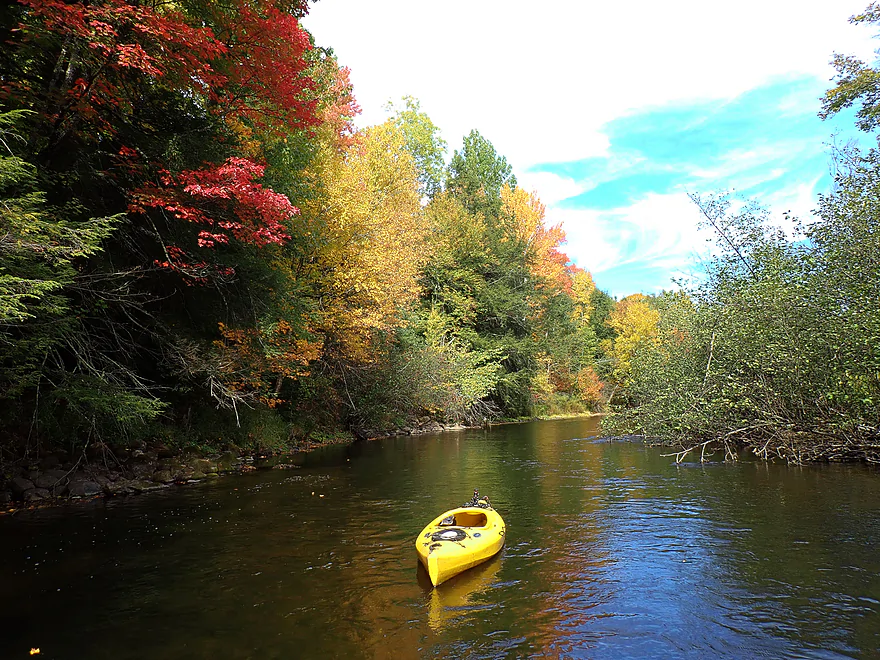
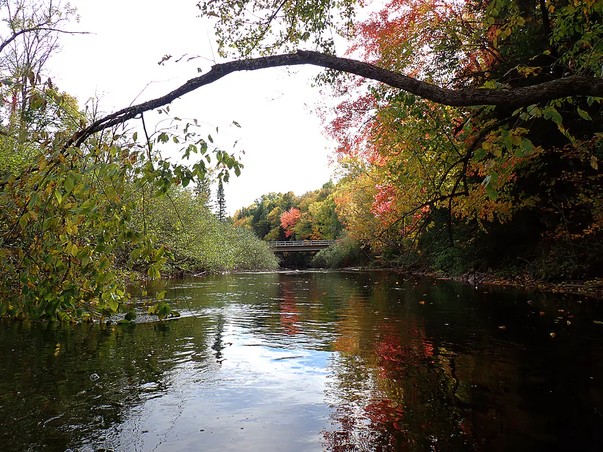
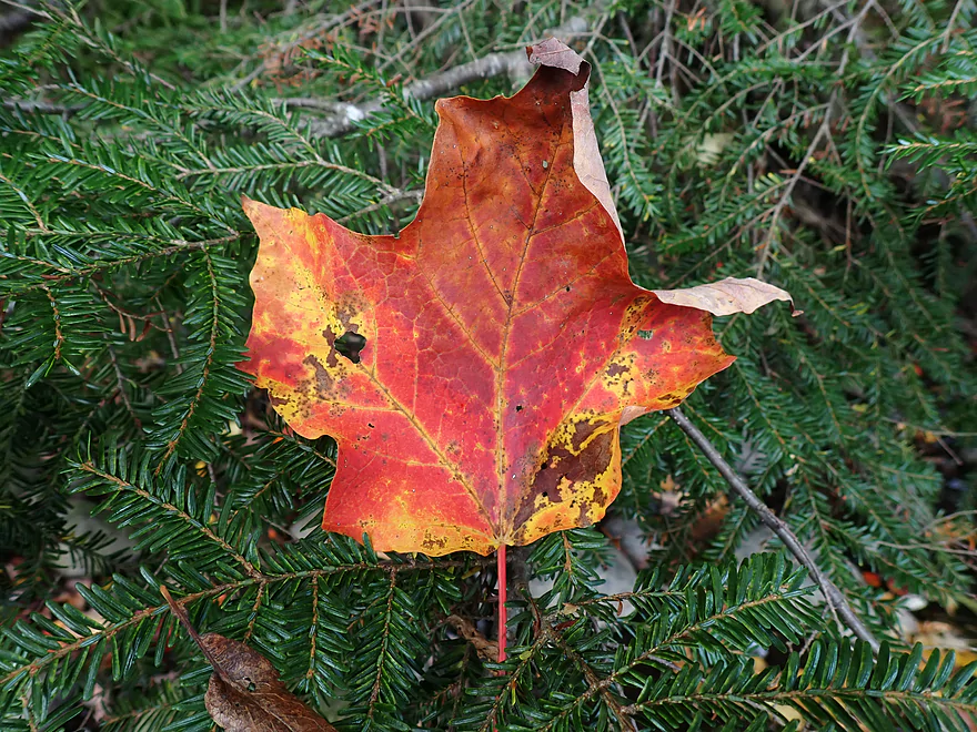
Surprised to see maples turning so fast for mid-September
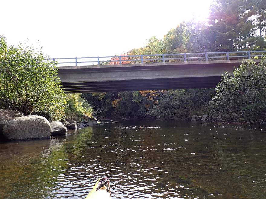
Cty Rd C
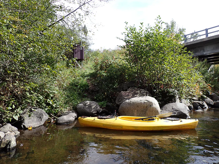
Nice bridge access by the USGS station
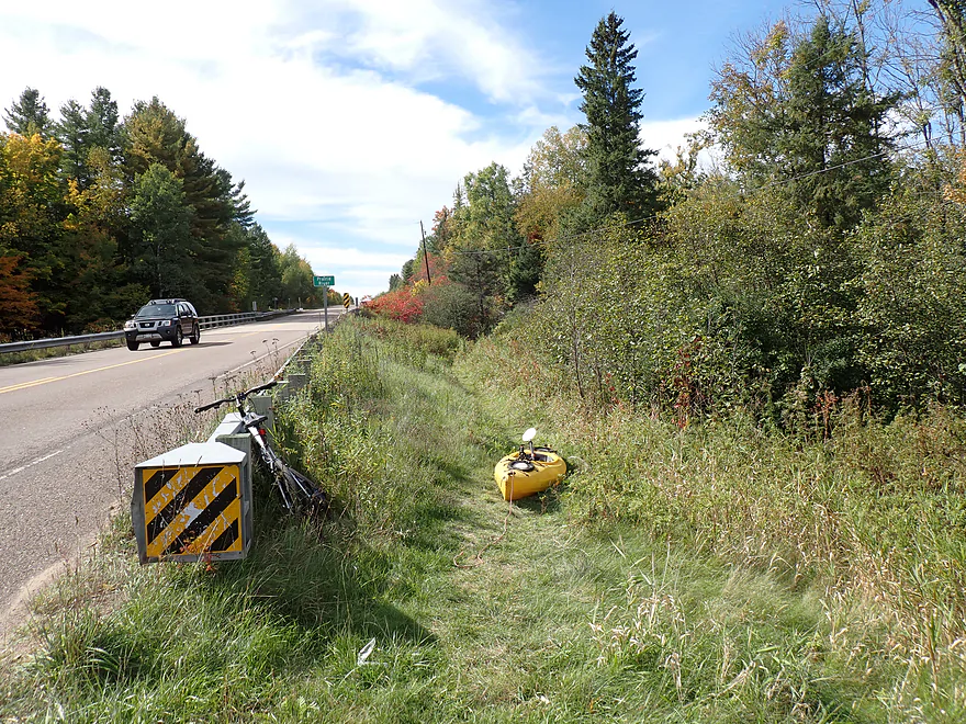
Trail leads up to the shoulder
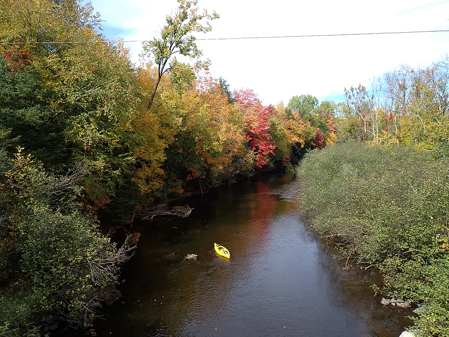
View from bridge
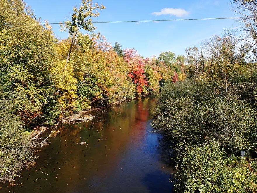
Same view but before the trip (what a difference lighting makes)


Prairie River – Prairie Road


The goal this week was a fall foliage paddle in north-central Wisconsin. For kayakers, the area north of Wausau is a hidden gem for autumn color–thanks to higher elevations, cool river valleys, and dense sugar maple stands. Travel Wisconsin’s official report wasn’t encouraging– pegging Lincoln County at just 15% peak. But I suspected the state report lagged behind, as riverbank trees typically turn early due to water stress. Seeing so much green on the drive north made me nervous, but after passing Wausau I started seeing nice color (it was like an invisible switch had flipped).
For this trip, I was returning to the Prairie River, a Wisconsin River tributary east of Merrill. Arriving at the Prairie Road landing, I was surprised to find two vehicles already parked. One car appeared to be an angler (the Prairie is renowned trout water) and another a paddler. I suspected the kayaker was tackling the popular upstream gorge and rapids despite low water. However, the famous dells weren’t my objective today, nor was the popular final stretch through Merrill. Instead, my trip would be on the often-overlooked three-mile “tweener” segment running between them.
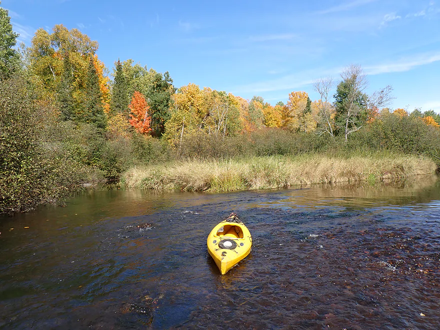
My first impressions of the river were very positive: incredibly clear water, a nice rocky substrate with a bit of sand, almost no mud, good current with some light rapids, and occasional boulder gardens. While the Prairie is called a “river,” it feels more like an oversized creek (which is not a bad thing). Despite the shallow appearance, I usually had enough “padding”.
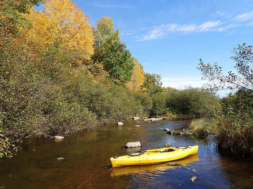
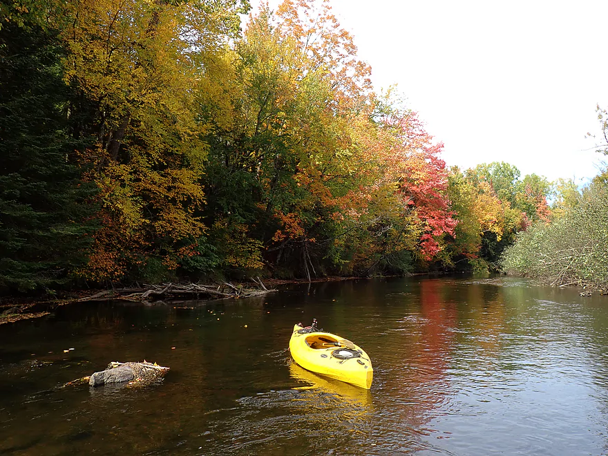
The banks were heavily wooded with a classic northern mix: brightly colored sugar maples, white paper birches, towering white pines, drooping hemlocks, and pointy balsam firs. The colors were surprisingly good, and I frequently stopped and got out for pictures, using my kayak for contrast and scale.
Alders did crowd a few stretches near the middle of the trip, creating a scrubbier feel, but much of the trip remained attractive and undeveloped, with only a few homes. On occasion, the river would splinter around large islands and paddlers will need to choose wisely (usually the bigger channel) since some of the minor channels will be obstructed.
I concluded the trip at County Road C, which was a good bridge access. At three miles, this wasn’t a long trip, but I didn’t want to do a long add-on segment through Merrill. Only later did I realize there was a convenient alternative DNR access a mile downstream off Deer Trail Drive that I should have taken instead.
In summary, this was a good trip and a nice way to see fall color from a boat. The middle mile wasn’t as interesting, but the opening and closing miles were very scenic, with steeper banks, better trees, rockier terrain, and fewer alders. Is this as scenic as the famous Prairie Dells section? No. There were no cliffs or major rapids, but it’s a simple, safe, and easy trip that paddlers should enjoy.
I didn’t see much (typical for fall), but I did see crayfish parts, schools of small fish, and a few larger fish in the deeper pools. There appeared to be bear scat at the put-in. I believe this is black bear country, and a previous guest reviewer did photograph a black bear in the area.
Prairie Dells Scenic Area: This is an attractive public access and overlook located along a gorge of the Prairie River. From the parking area there is a trail and a closed road where you can hike and check out four different overlooks. They’re nice, but the views of the gorge, rapids, and boulder gardens are mostly obstructed by tree cover. If you’re adventurous, you can hoof it down the steep hillside to the river for a better view. The best way to see the gorge is by kayak, but there are Class II–III rapids to deal with.
Prairie Road: This is a good public access. Note that the trail leading from the parking area to the water is steep, but that isn’t really a problem for launching (more so for taking out).
Alternate Put-ins:
- Shady Lane Ave (1.6 miles upstream from Prairie Road): I’m not 100% sure the public can use the dead-end access. This leg is likely mediocre, with some minor rapids and small boulder gardens.
- Hay Meadow County Park (4.1 miles upstream from Prairie Road): This is the most famous and scenic stretch on the entire Prairie River. Highlights include a gorge, boulder gardens, dells, and Class II–III rapids. Warning: this can be a rough and dangerous leg in high water.
Cty Rd C: This is a good bridge access. Northeast of the bridge (by the USGS station) is an established trail A large shoulder offers adequate parking.
Alternate Take-outs:
- Deer Trail Drive (0.9 miles downstream from Cty Rd C): There is a public DNR access at the end of Deer Trail Drive. I’m kicking myself for not using this access instead of C; it would have been a great option to add length and this bonus leg is scenic, with steep banks and nice pines.
- Prairie Trails Park (7.5 miles downstream from Cty Rd C): This is a pleasant stretch through the outskirts of Merrill.
Bike Shuttle – Cty Rd C to Prairie Rd: 2.7 miles with 36′ of ascent. This is a good shuttle option–almost entirely paved with no big hills. Note, though, that traffic is fast and heavy, and the shoulders are narrow.
Logjams/Fences: None on the main channel. Note, though, that in a few cases the river splits around large islands and some of the smaller channels might be partly or completely obstructed.
Current/Rapids: The river moves at a quick pace with a number of riffles and Class I rapids. I thought they were all very easy (and should remain so in high water).
Gauge: Prairie River @ Cty Rd C
Trip Depth: 1.98′ or 76 CFS
Navigability Estimates: These are just rough guesses. The gauge is located directly at the take-out.
- < 60 CFS: The Prairie rarely gets this low.
- 61-96 CFS: Common shallow fall depth and good target range with nice clarity. At 76 CFS the river was surprisingly navigable and I only had to get out a few times for shallow parts. This was in contrast to my Dudley trip, which was a bumpier trip despite having more flow. Deeper drafting boats though may need more water.
- 97-130 CFS: Above normal depth and lacking in clarity.
- 131-200 CFS: High depth. Could be annoying strainers in spots.
- 201-400 CFS: Very high depth after a heavy rain. Maybe not ideal for kayaking.
- 401+ CFS: Extremely high water levels with poor water quality.
Click here to see an overview map of the Prairie River.
- Upstream from Hanson Road Access: The river here is too narrow to paddle.
- Hanson Road to R and H Road Walk-In Access: 1.9 miles. I don’t know much about this leg, but satellite images suggest it’s relatively open and might be pleasant.
- R and H Road Walk-In Access to Hackbarths Drive: 1.0 miles. Narrow stretch with maybe a logjam or two.
- Hackbarths Drive to County Road CCC: 4.5 miles. Reviewed by paddling author Frank Piraino.
- Hackbarths Drive to Hwy 17 Walk-In Access: 1.1 miles. Wooded stretch with a few possible congested spots.
- Hwy 17 Walk-In Access to Bridge Drive: 2.6 miles. Another wooded section. Figure a handful of light rapids and maybe one logjam.
- Bridge Drive to County Road CCC: 0.8 miles. Rocky with hazardous Class II-III which require a difficult 600′ portage through thick woods. There are also several bad logjams and a dangerous low bridge. This stretch though is scenic. Here is a 360 picture.
- County Road CCC to Prairie Forks Drive: 6.2 miles.
- County Road CCC to Bachelors Lane: 2.9 miles. Great leg with scenic pine trees and in the fall attractive color. Highlights include a few small boulder gardens. There is a minor logjam that isn’t difficult to get past.
- Bachelors Lane to Town Hall Road: 2.3 miles. Not as good of a leg with scrubbier trees and six logjams. Most of the portages weren’t difficult, but two were tricky.
- Town Hall Road to Prairie Forks Drive: 0.9 miles. Nice stretch that is a bit more open. Highlights include no logjams and a few nice, small boulder gardens.
- Prairie Forks Drive to Axen Road: 0.8 miles. River meanders through scrubby woods with maybe two logjams.
- Axen Road to County Road J: 1.7 miles. River doubles from the North Branch. I suspect this is a mediocre stretch.
- County Road J to Heineman Road: 1.7 miles. Mix of pine and hardwoods with alders. Starts slow, but picks up speed. No major rapids.
- Heineman Road to Prairie Road Access: 5.6 miles.
- Heineman Road to Hay Meadow County Park: 1.5 miles. Easygoing with no obstacles.
- Hay Meadow County Park to Shady Lane Ave: 2.5 miles. Scenic section with boulder gardens, outcrops and dells. Includes some Class II/III rapids.
- Shady Lane Ave to Prairie Road Access: 1.6 miles. Likely minor rapids and boulder gardens during low water.
- Prairie Road Access to Cty C: 3.3 miles. Attractive stretch with occasional light rapids, small boulder gardens and attractive wooded banks. In fall this can be a nice color paddle.
- Cty C to Deer Trail Drive Access: 0.9 miles. Nice stretch with steep banks topped with pines.
- Deer Trail Drive Access to Prairie Trails Park: 6.6 miles. Likely a pleasant wooded paddle.
- Prairie Trails Park to Strange’s Park: 1.9 miles. A wooded section through downtown Merrill.
- Strange’s Park to Mouth: 1.1 miles. Final stretch of the river. There isn’t really a great access on the Wisconsin River upstream of the Merrill Dam. You might have to do a 1000′ portage to reach better access points east of the dam.
Trip Map
Overview Map
Video
Photos Size:
How did your trip turn out? Questions or comments? Feel free to leave your feedback.
