
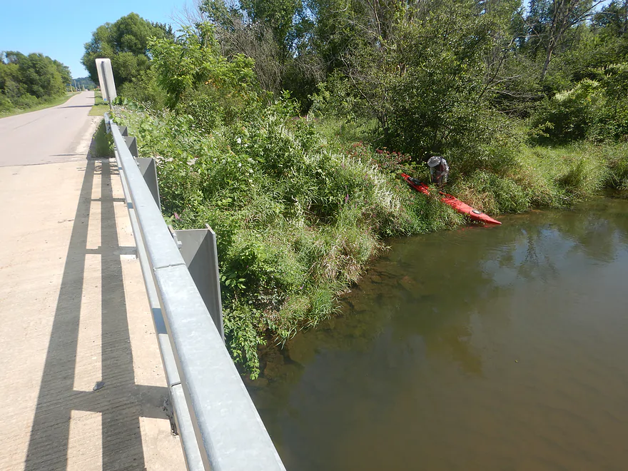
Starting the trip at Hammer Road
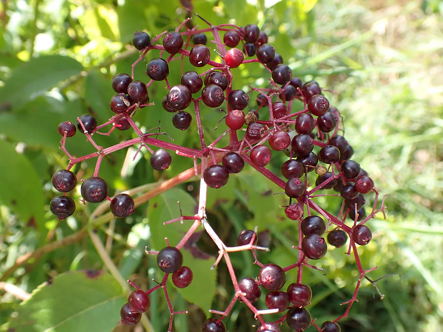
Ripe elderberries
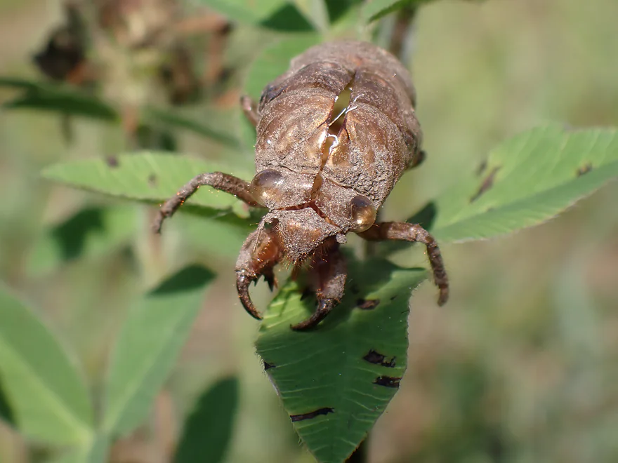
A cicada exuvia (looks alien)
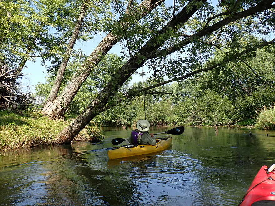
A rope swing shows where the local swimming hole is
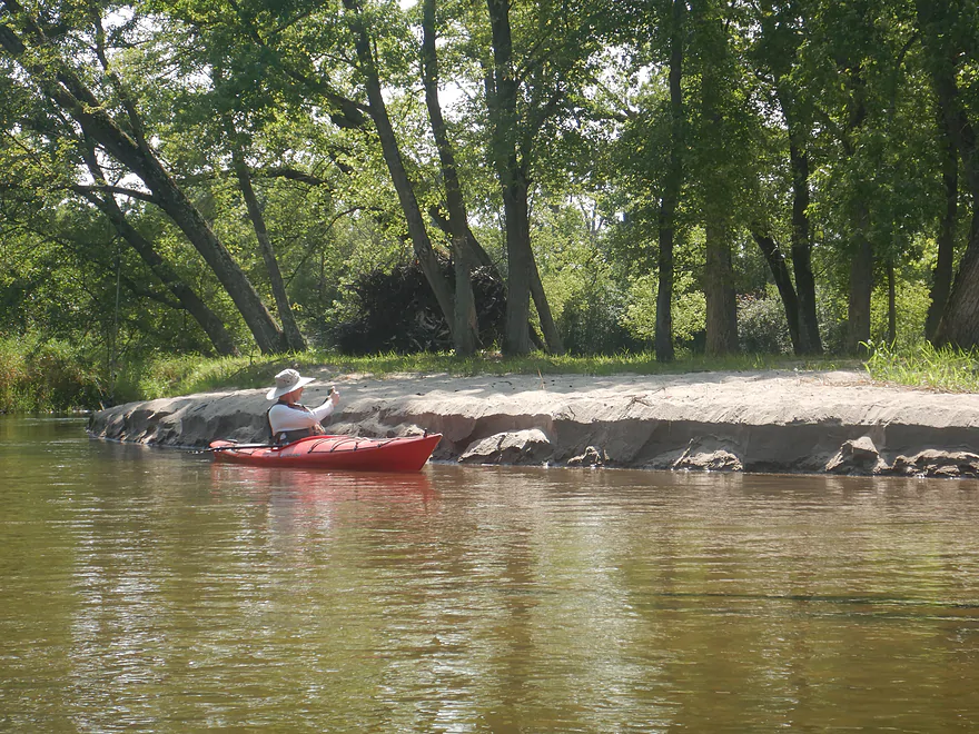
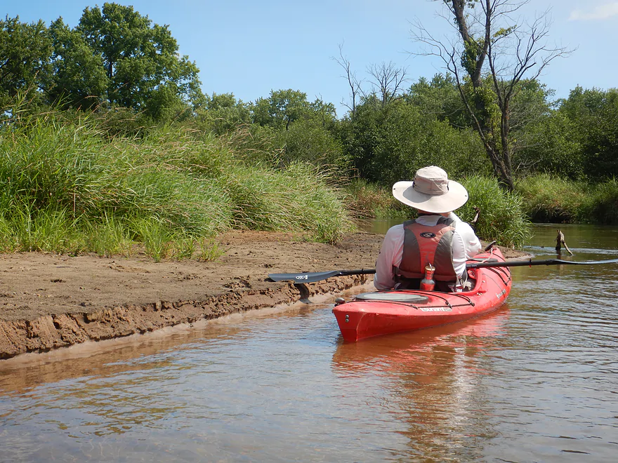
One of many sandbars
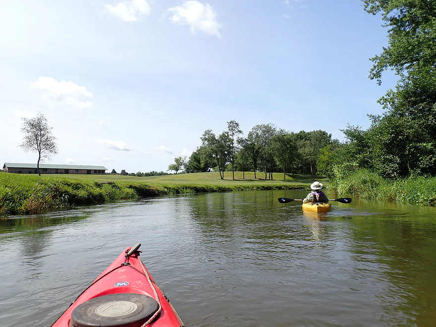
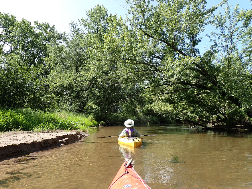
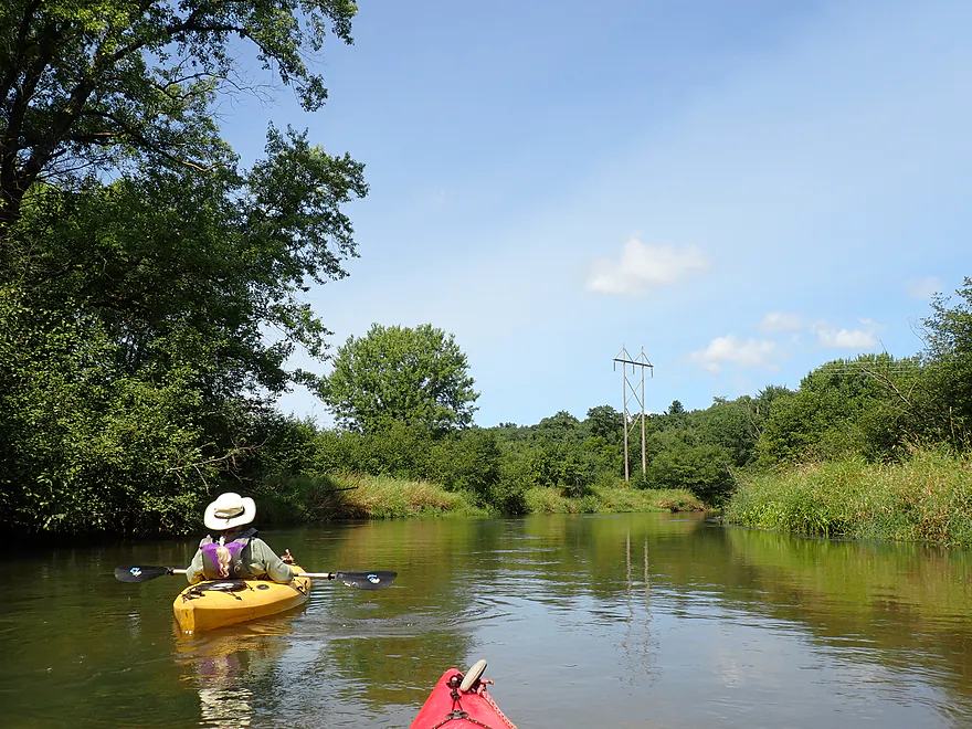
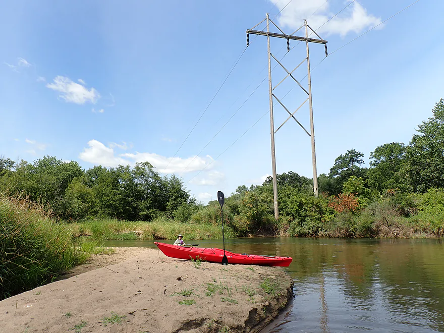
Sandbar break
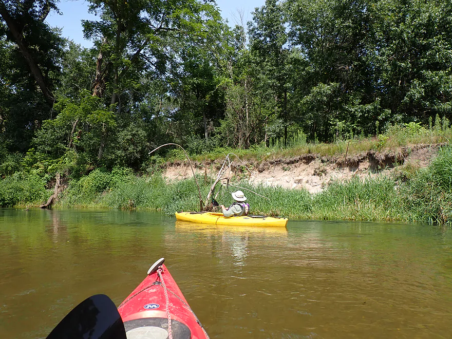
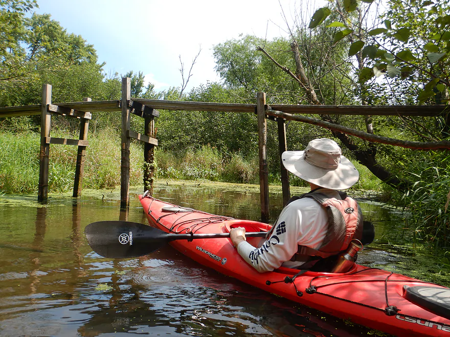
Rustic plank bridge across an old river channel
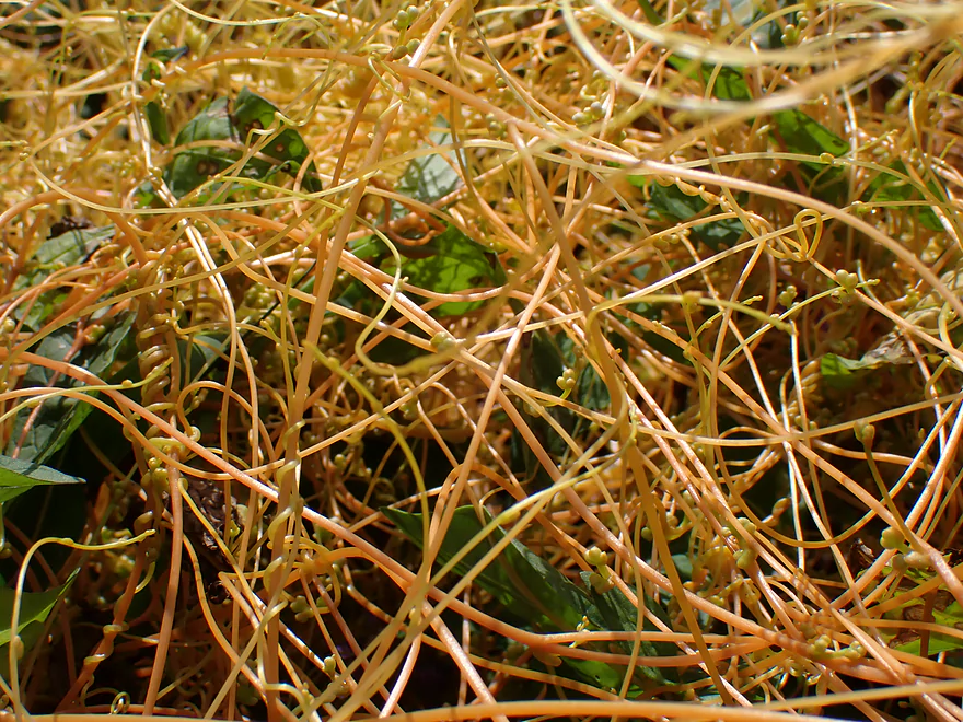
Dodder (a parasitic plant that wraps around other plants and steals nutrients)
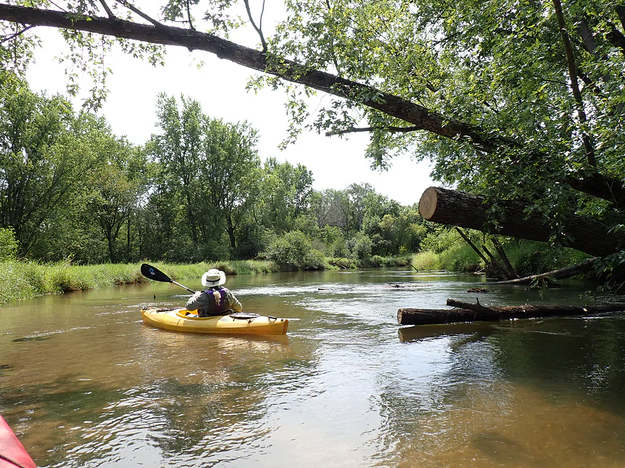
There has been some great cleanup work on the river
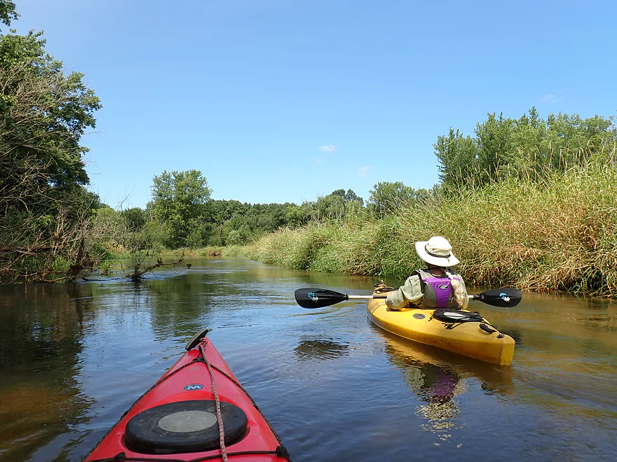
Reed canary grass (right) becomes more common
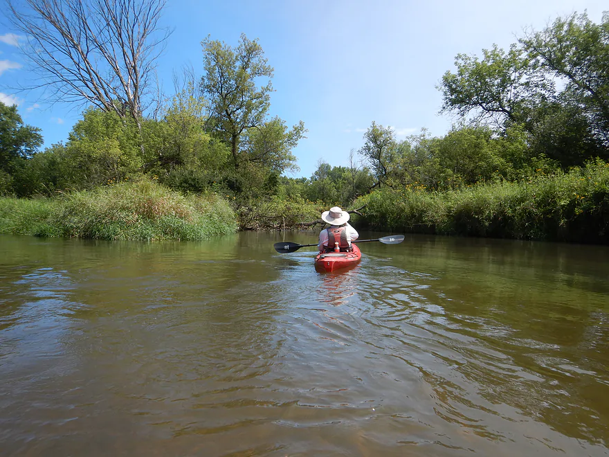
Mouth of the Little La Crosse River
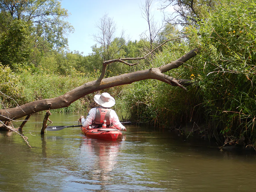
Explored upstream a bit…but too much deadfall to continue
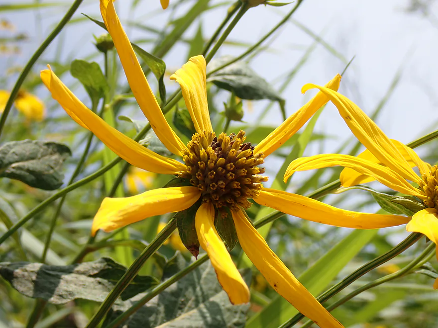
Lots of coneflowers on the trip
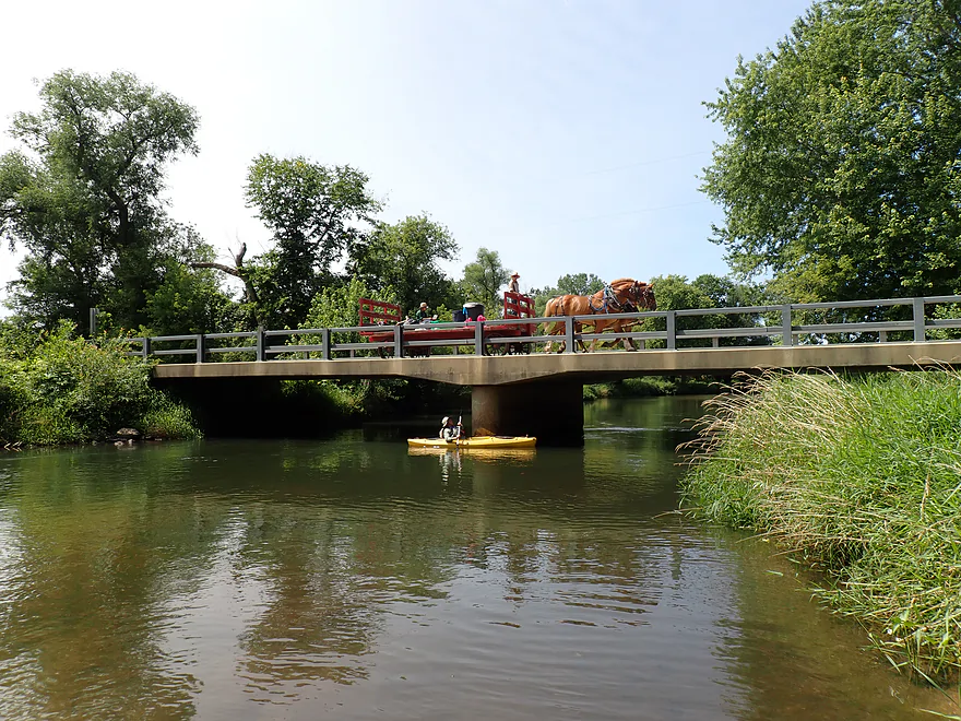
Icarus Road bridge (plus an Amish wagon and horses)
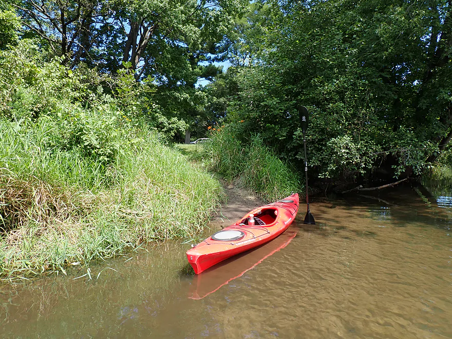
Brinkman’s Landing nearby is a good access
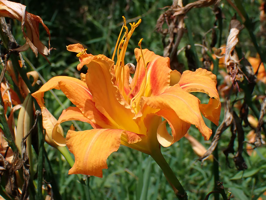
A clump of domestic daylilies growing by the river
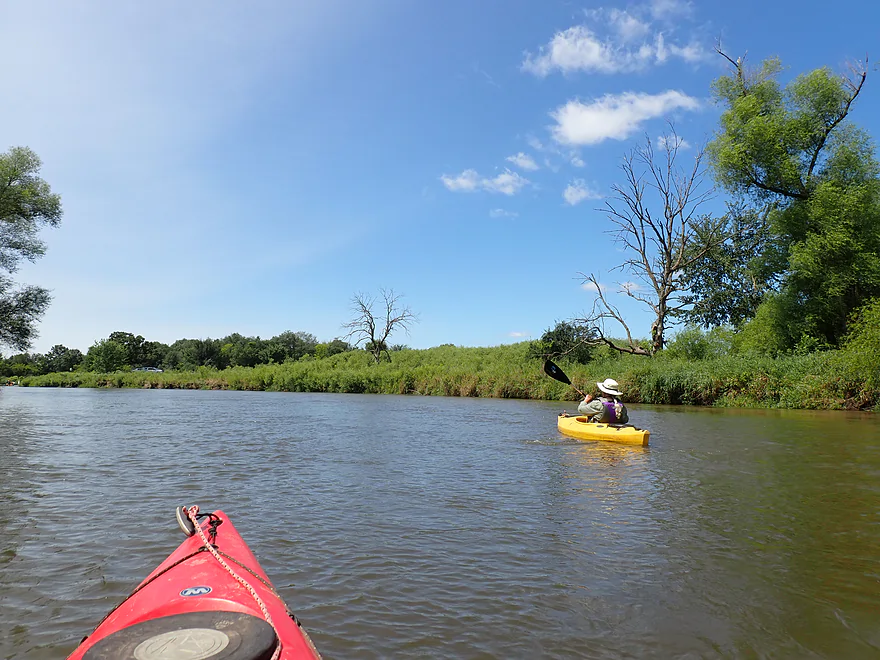
The river opened up and widened right after the bridge
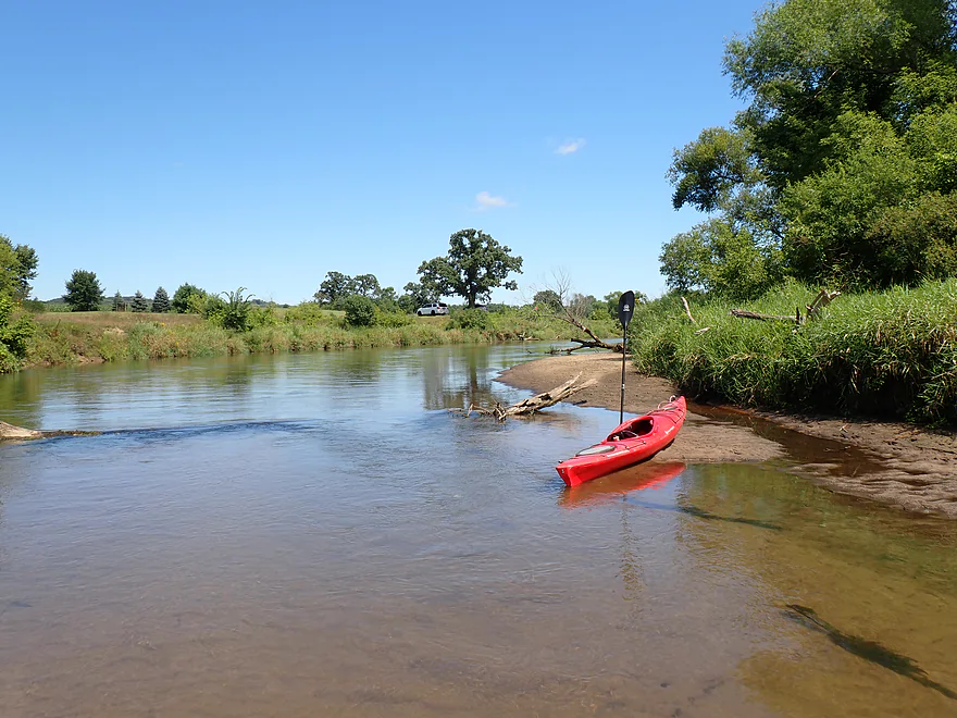
Nice view of a former golf course
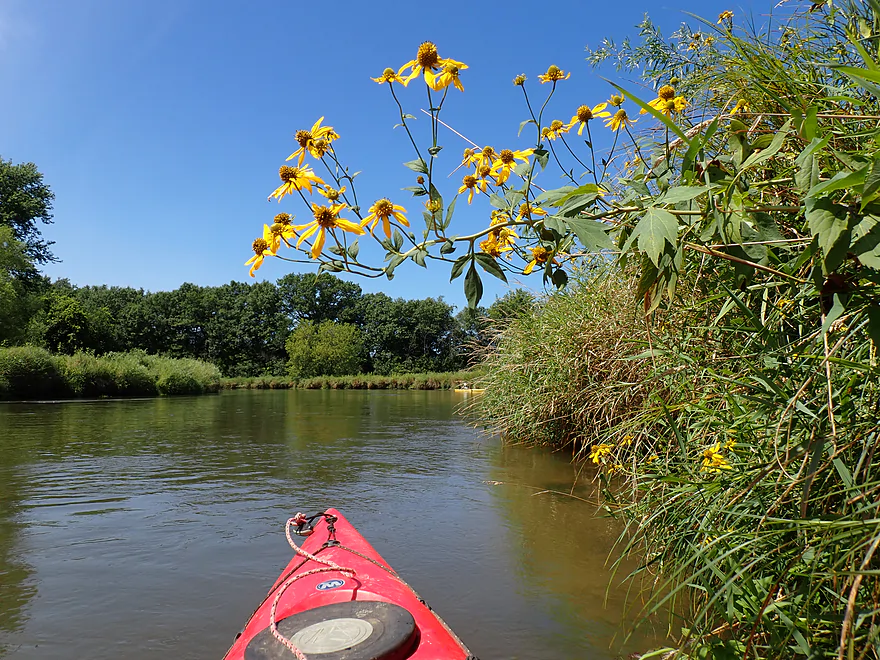
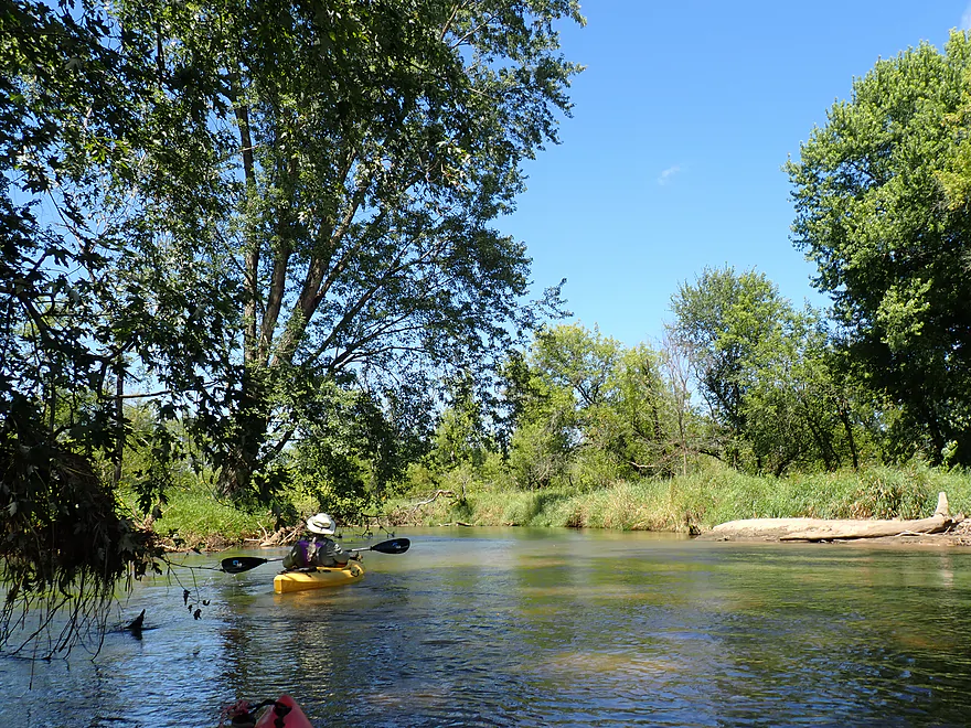
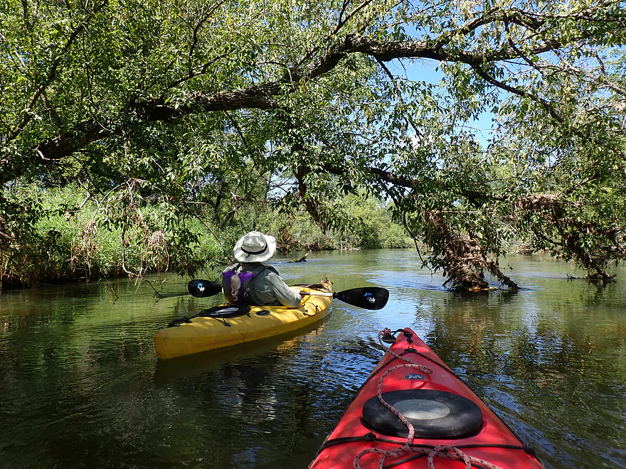
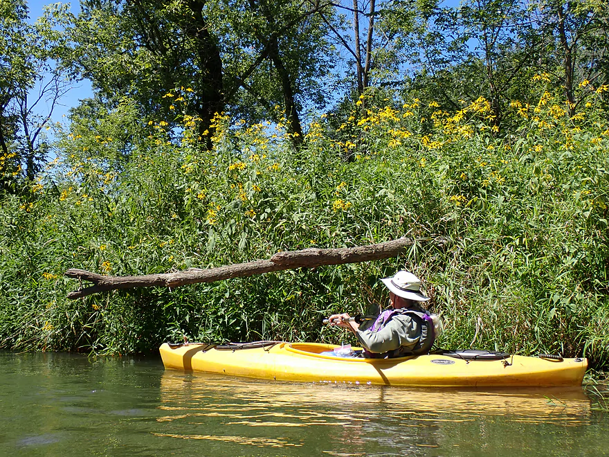
So many cone flowers
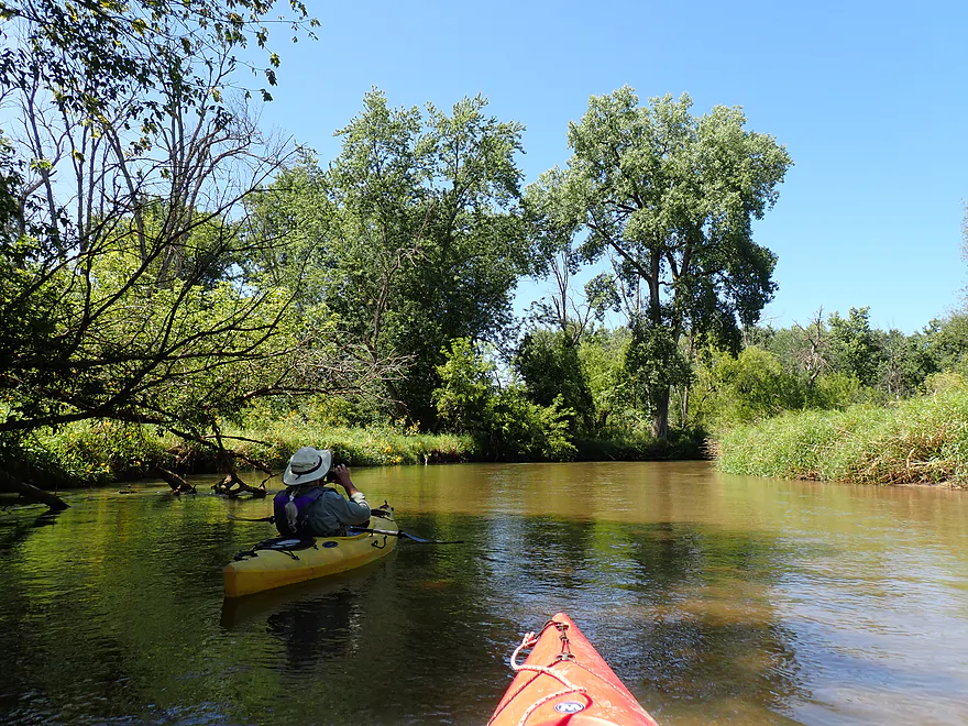
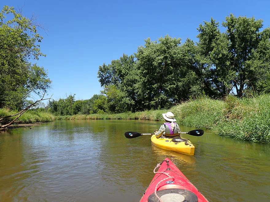
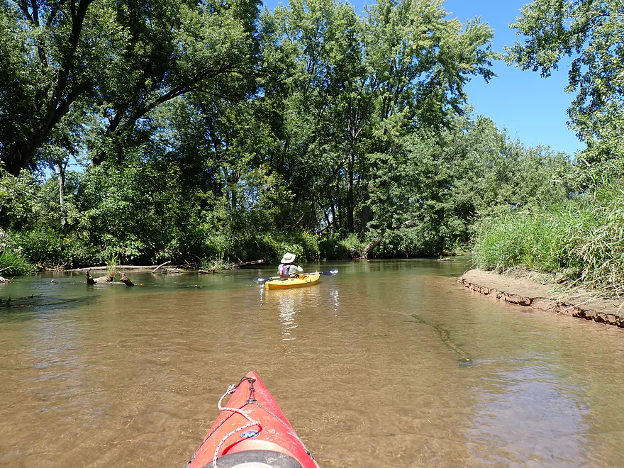
Looks shallow, but the river was plenty deep
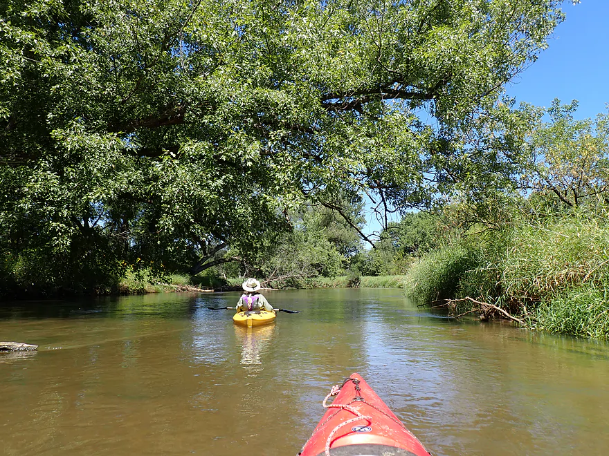
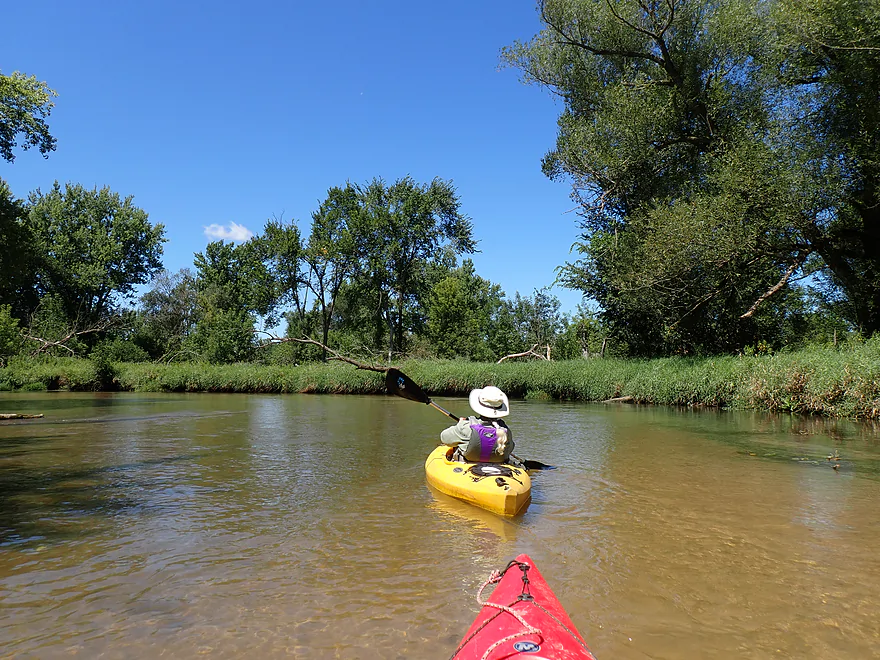
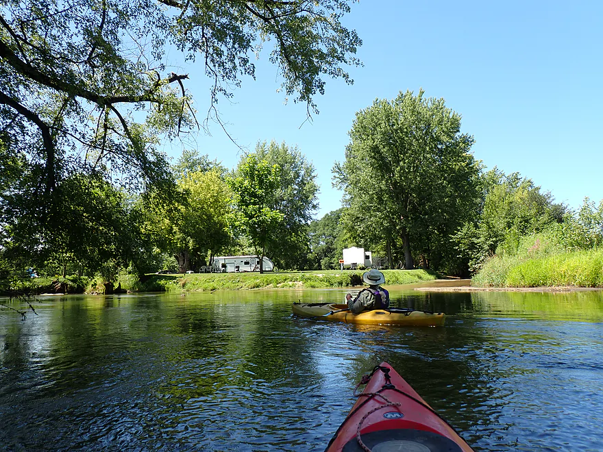
Private campground (Big Creek is on the right)
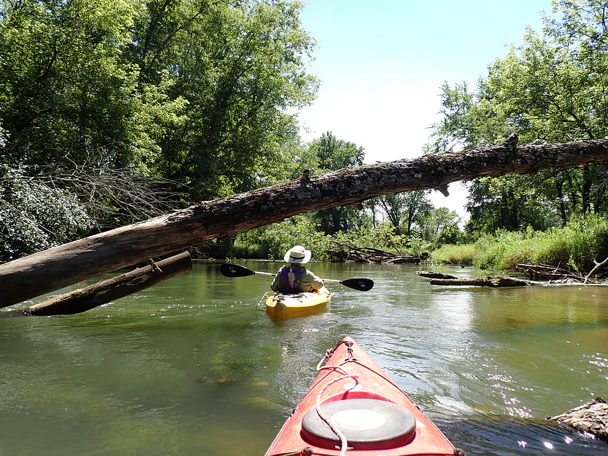
Start of a short stretch with a lot of deadfall
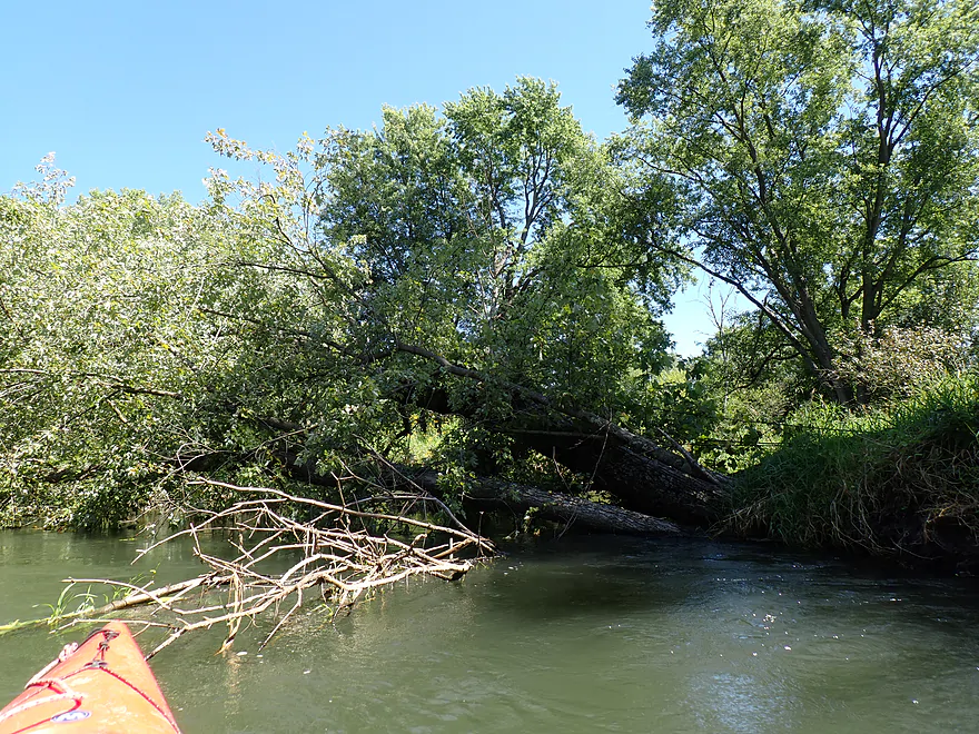
Looking back at a nasty strainer with fast current (be sure to go around the treetop side to avoid this)
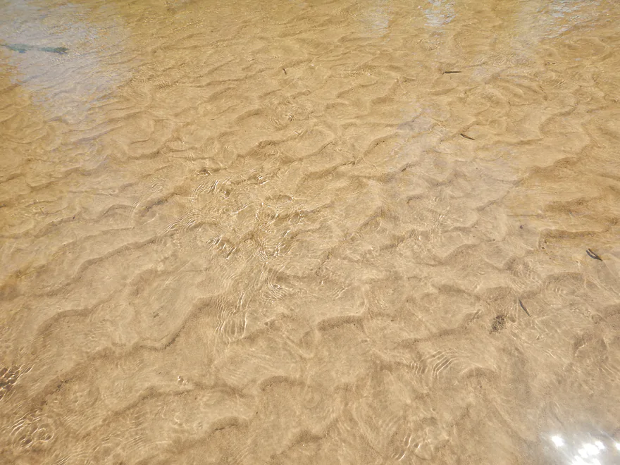
A clear, shallow section, but most of the river was deep and very sandy
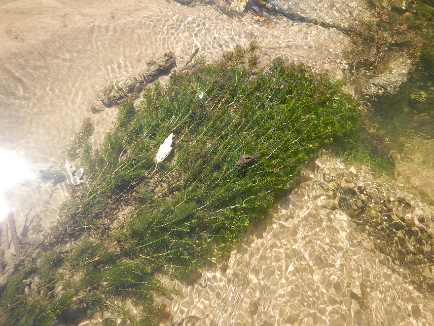
Occasional clumps of bright green coontail and elodea (the only aquatic plants of the trip)
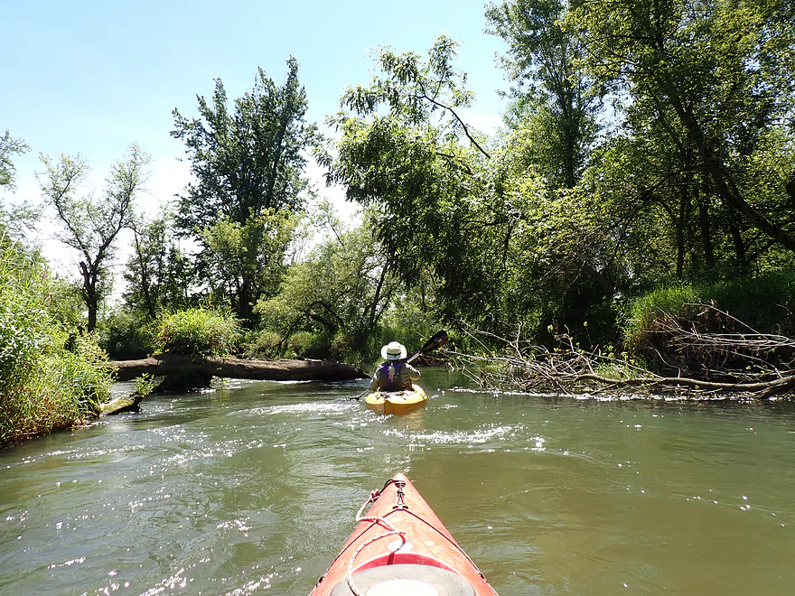
Another tricky strainer
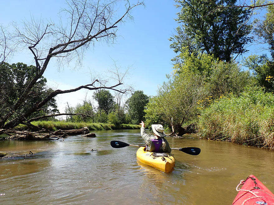
Thankfully we never had to portage and there was some good cleanup work
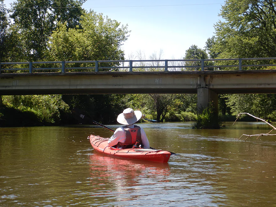
Cty Rd J
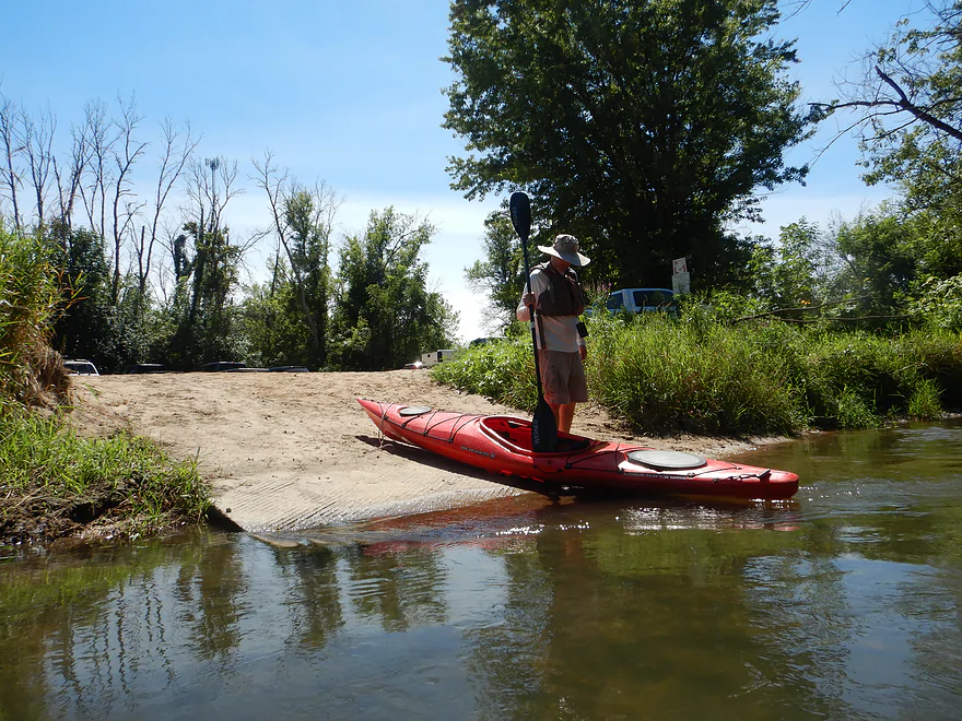
Taking out at the Rockland Canoe Landing
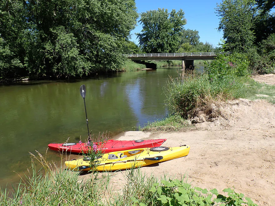
Great access
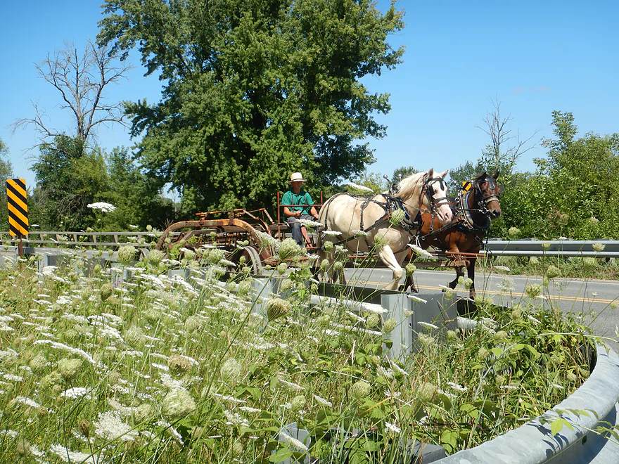
More Amish farm equipment–both bridges we passed had horses clip-clopping over them


La Crosse River – Hammer Road


The La Crosse River starts near Fort McCoy and flows west before joining the Mississippi River at La Crosse. While it lacks the dramatic rapids and rock formations of its northern neighbors, like the Black River or Halls Creek, it remains a local favorite for a casual day on the water.
The trip started at Hammer Road, which was kind of a weedy bridge access. Most paddlers don’t launch here as there are better and newer put-in options (both upstream and down). But for us, it gave us the option to pick up where my 2014 trip ended.
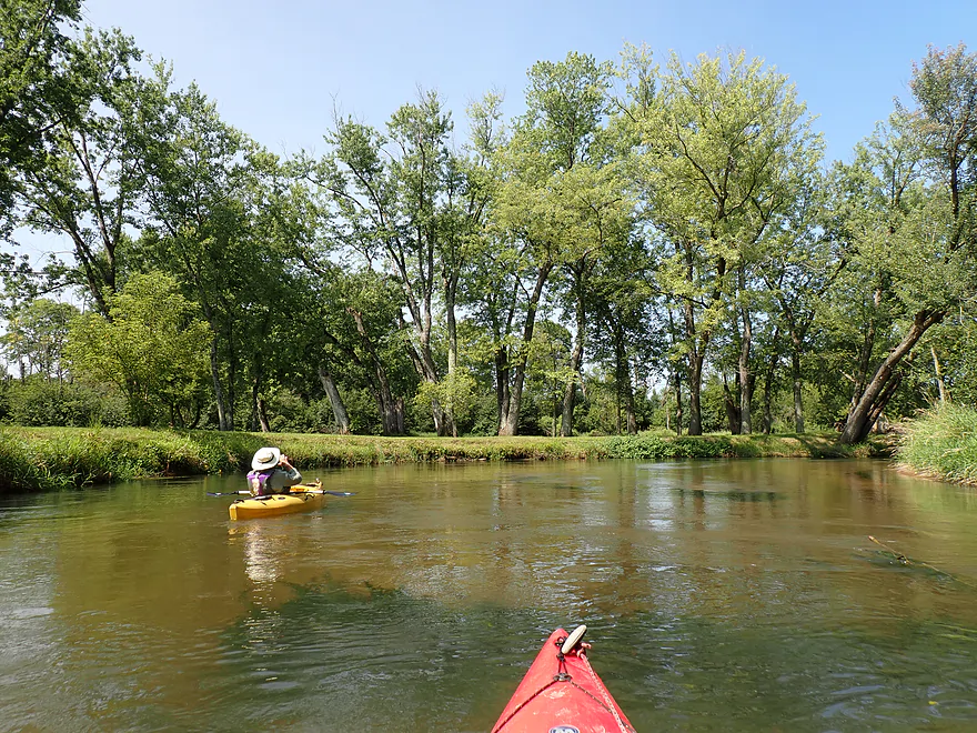
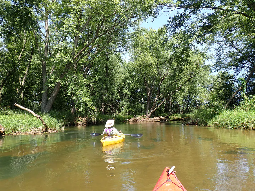
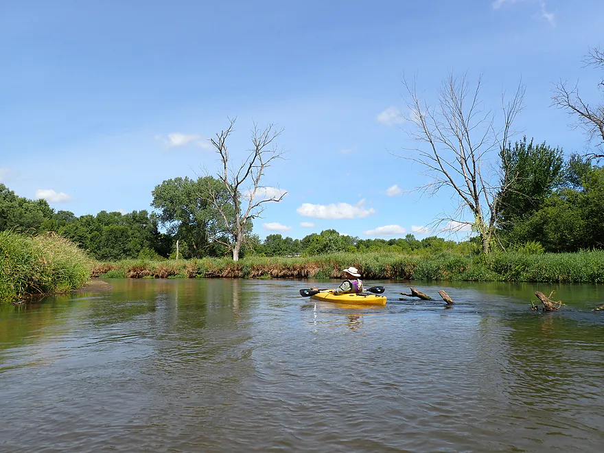
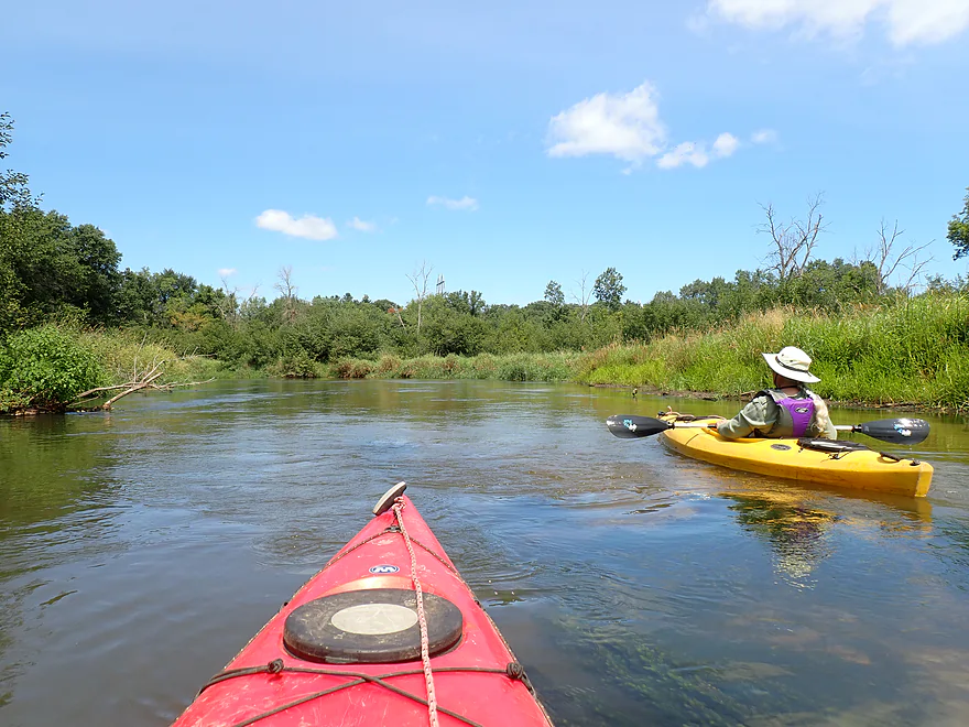
The trip started alongside generic grassy banks and a thin tree line, but it was surprisingly pleasant. The current was brisk and steady. While not crystal clear, the water was decent enough to routinely see the firm sandy riverbed below. Except for the occasional sandbar, it actually reminded us of Badfish Creek. I was also surprised by how cold the water felt for August. In contrast, last week’s trip on the Wisconsin River featured significantly warmer water.
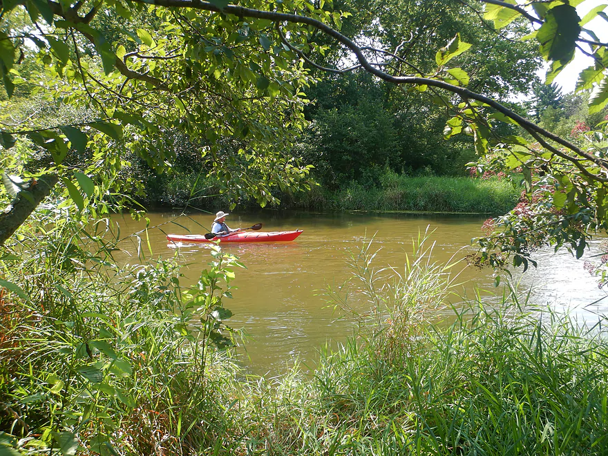
Although this stretch of river is mostly undeveloped, you’re frequently reminded of civilization. Road noise was common, live munition drills at Fort McCoy boomed periodically (despite being over 10 miles away), and we passed several friendly groups of kayakers.
Just before Icarus Road, the Little La Crosse River joined in and significantly broadened the main channel. I paddled upstream a short distance, greeted at first by yellow coneflowers on the bank, but several logjams quickly reminded me why this tributary isn’t on my to-do list.
The Icarus Road bridge marked our halfway point. It’s a pleasant area with a small landing on the northeast corner. Brinkman’s Landing was dedicated in 2023 and has parking and a short trail down to the river. This is also Amish country, and we got to see (and hear) an old-fashioned horse-drawn wagon pass over the bridge right as we passed underneath.
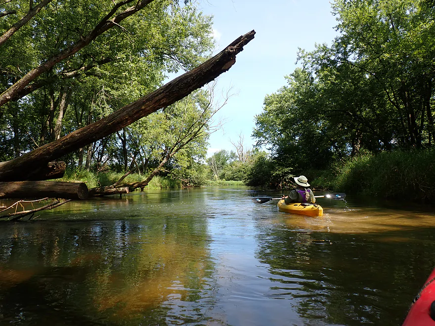
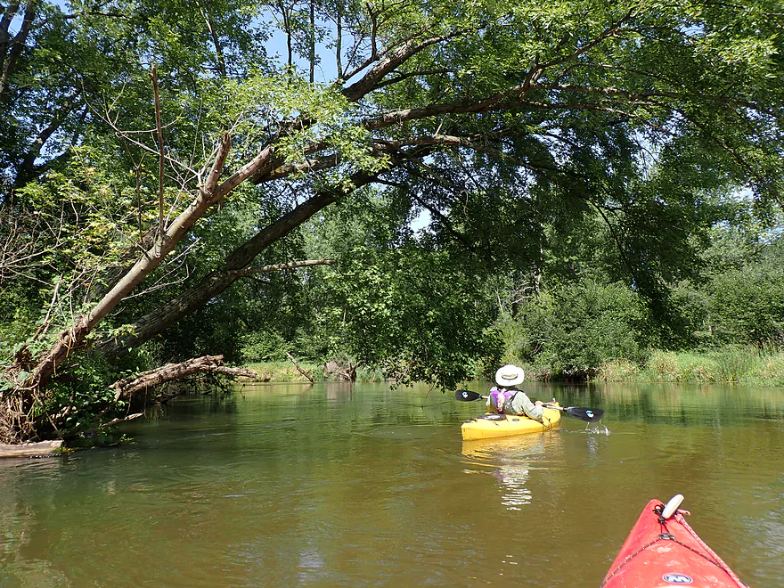
The second half of the trip changed in character (likely thanks to the influx from the Little La Crosse). The biggest difference was along the banks, which became messier and less attractive, dominated by boxelder and reed canary grass. Deadfall became more common, though the current stayed brisk and there were still several sandbars. We never had to portage any logjams, so really appreciated all the cleanup work previously done by locals.
However, a few spots near the take-out still required tight turns in fast current. In one case (after the campground), a large downed tree split the river in two. We followed the main current left, only to find it completely blocked by the tree’s main trunk. We had to fight the swift water back upstream to route safely around to the right (north) side. Somebody needs to post a warning sign here! In high water, this could be even more challenging and unforgiving.
We ended the trip at the Rockland Canoe Landing (just past Cty Road J), where there were not one, not two, but eight cars parked. All in all, this trip turned out way better than expected. The clear water and steady current made for a fun paddle, and while the scenery wasn’t exotic, it was consistently pleasant. Swimming is a great option (something the other paddling groups partook in). I’d rate the first half (Hammer Road to Icarus Road) at 4 stars and the second half (Icarus Road to Cty Road J) at 3 stars. If you’re new to the La Crosse River, though, I recommend starting in Sparta instead, which IMO is the best leg on the river.
Sights along this stretch included a few small turtles, frogs, four green herons, one great blue heron, two hawks, a mallard, and a fuzzy brown head swimming close to the bank (likely a muskrat or beaver). Sounds included quite a few cicadas.
The La Crosse River State Trail: This “rail trail” parallels the La Crosse River from Sparta to Onalaska and can be used to bike shuttle sections of the river, or for a separate trip. The La Crosse River Trail connects to both the Elroy-Sparta Trail and the Great River Trail.
Hammer Road: This is a doable bridge access, but it’s weedy and not ideal.
Alt Put-ins:
- Ben Bikin’ Park (5.0 miles upstream from Hammer Rd): Very good access near the bike statue. Starting here adds what is widely considered the best leg on the La Crosse River.
- Amundson Park (1.5 miles upstream from Hammer Rd): A decent access, though it requires a longer carry from the parking lot to the water. The stretch between Amundson and Hammer Road is wooded and nice.
- Icarus Rd/Brinkman’s Landing (3.1 miles downstream from Hammer Road): A very good launch. Choose this if you want to shorten the trip, but note that the river leg above this landing is much better than the leg below it.
Cty Rd J/Rockland Canoe Landing: Good public access and popular on weekends.
Alt Take-outs:
- Icarus Rd/Brinkman’s Landing (3.2 miles upstream from Cty Rd J): Good access. Pulling out here cuts the trip short, avoids some minor deadfall, and lets you skip the segment down to Rockland where the river becomes less interesting.
- 17th Ave/Bangor Canoe Landing (6.8 miles downstream from Cty Rd J): A decent public access. I haven’t paddled much of the leg below County Rd J. It’s likely nice, but it opens up and isn’t quite as scenic as the preceding stretches.
Bike Shuttle – Cty Rd J to Hammer Road: 4.3 miles with 115′ of ascent. This is a doable bike shuttle, but Hwy 16 is a busy, fast road. As an alternative, you can shuttle south of the river along the La Crosse River State Trail, but this would be a bit longer at 5–6 miles. Note that Google (which is usually good at bike routing) does not correctly identify where you can get onto this trail.
Ellistone Canoe Rentals: Located on Cty Rd J just above the Rockland Canoe Landing, this is a convenient rental and shuttle establishment that services the Upper La Crosse River.
Current: This was surprisingly brisk and consistently so. There were no rapids, but if there were rocks in the channel, they would have formed.
Logjams: None–the locals mostly do a great job of cleaning the river out. But…see strainer note below.
Strainers/Sweepers: There are a number of downed trees in fast water. Paddlers should carefully avoid these as they can overturn boats and trap paddlers if you get too close. If it just rained, you likely want to stay off the river for a few days so levels settle down. Otherwise, high water can cause the river to be dangerous, pushy, and unforgiving around deadfall. Honestly though, the stretch above Icarus Rd wasn’t that bad. The only major problem spot was between the campground and just upstream from the take-out at Cty Rd J. Here there are a couple downed trees that require quick, tight maneuvers to get around. In one case (exact map location), a tree splits the channel and if you take the wrong/left route, you’ll hit a dead end with fast current going under the tree trunk. Difficult upstream-paddling will be required to get back on course.
Closest Gauge: La Crosse River @ Sparta
Trip Depth: 158 CFS or 3.62′
Navigability Estimates:
- < 75 CFS: The river rarely gets this shallow.
- 76-100 CFS: Relatively low, but still fine for paddling with terrific clarity.
- 101-180 CFS: Average depth. Decent clarity and a nice target range.
- 181-300 CFS: High depth with weak clarity. Paddlers should be extra careful at these flow rates, as the strong current will make strainers particularly dangerous.
- 301-500 CFS: Very high depth, only suitable for advanced paddlers (especially below Icarus Rd). Water quality and clarity will be poor.
- 501+ CFS: Likely too high for any type of kayaking.
Detailed Overview
- Fort McCoy - Upper Leg: The river looks nice here, but this goes through the heart of military training grounds so is not likely suitable for paddling.
- Fort McCoy - Lower Leg: (2.5 miles) This is technically part of a federal army base. You can navigate the river, but only if you register with the Fort McCoy Natural Resources Department and follow their rules.
- Squaw Lake Dam to Buckley Ct: (1.4 miles) Very interesting prospect with clear water, one small waterfall, and a few nice Robinson Creek-style cliffs.
- Buckley Ct to Hwy BB: (1.1 miles) An ok prospect.
- Hwy BB to Sparta: (7.1 miles)
- Hwy BB to Angelo Wayside: (5.3 miles) Clean sandy water with little development. Ends in a small flowage.
- Angelo Wayside to Sparta/Fisherman's Park: (3.3 miles) Not as interesting...but ok. River widens and has more of a messy feel with more hardwoods.
- Sparta to Hammer Road Bridge: (5.4 miles)
- Fisherman's Park to Ben Bikin’ Park: (0.4 miles) Nice open stretch through Sparta with some rocks.
- Ben Bikin’ Park to Amundson Park: (3.5 miles) The most popular and best section on the entire river. Very nice with clean water and good current. As of 2024-04-30, a number of logjams have popped up upstream from Amundsen Park. Some portages will be required.
- Amundson Park to Hammer Road: (1.5 miles) A more wooded stretch. Includes a fun ledge to kayak over.
- Hammer Rd to Cty Rd J: (6.3 miles)
- Hammer Rd to Icarus Rd/Brinkman's Landing: (3.1 miles) Less wooded than the prior leg, this is still a great stretch with enjoyable current and good clarity.
- Icarus Rd/Brinkman's Landing to Cty Rd J/Rockland Canoe Landing: (3.2 miles) The river gains significant volume from the addition of the Little La Crosse River. This is an ok leg, but there are some strainers in fast current to dodge.
- Hwy J to 17th Ave: (6.8 miles) Mediocre prospect. Upstream sections are likely nicer.
- 17th Ave to Neshonoc Lake Dam: (6.6 miles) Half the trip goes through a slow flowage. The lake is nice as far as lakes go...but I suspect this is a relatively weak section.
- Neshonoc Lake Dam to Veterans Memorial County Park: (4.2 miles) An ok paddle with some fun ledges and a nice box canyon.
- Veterans Memorial County Park to Holiday Heights Launch: (8.4 miles)
- Veterans Memorial County Park to N. Kinney Coulee Road/I-90 Bridge: (2.6 miles) A mediocre stretch with some sandbars and Class 1 rapids under I-90 , but mostly generic eroded banks that have been heavily straightened by the railroad. Road noise here is pretty loud.
- N. Kinney Coulee Road to Holiday Heights Launch: (5.8 miles) A good leg. Features include fast current, some sandbars, mostly open banks with some nice bluff vistas and a few really nice sandbanks. Be mindful of strainers in fast current.
- Holiday Heights Launch to Mouth on Mississippi: (6.9 miles)
- Holiday Heights Launch to Cty B/Earl's Landing: (2.2 miles) A more wooded stretch with mediocre floodplain trees. Train traffic is heavy in this area and chances are good you'll paddle under a moving train.
- Cty B/Earl's Landing to Mouth/Riverside Park: (4.7 miles) This is a good leg. It's more open and has really nice views of the distant bluffs.
Trip Map
Overview Map
Photos Size:
How did your trip turn out? Questions or comments? Feel free to leave your feedback.
