
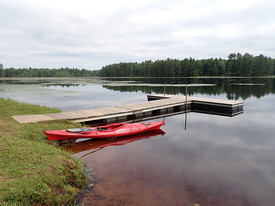
Starting the trip at the Mcmullen Park Boat Launch
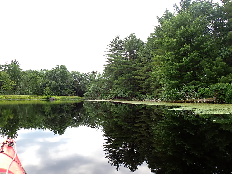
Following the shore south
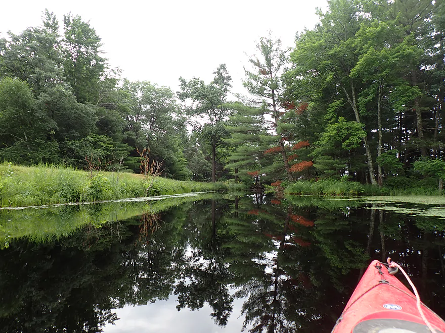
Attractive outlet
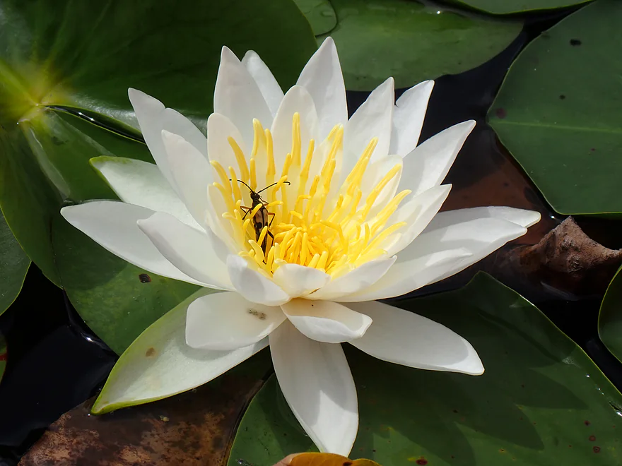
A soldier beetle hanging out in a white water lily
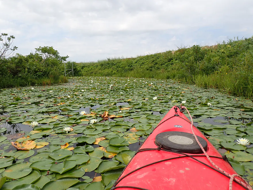
This side channel leads to a cranberry dam
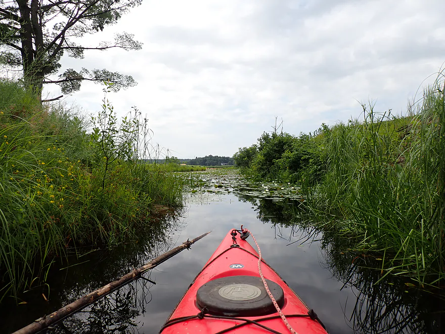
Following the main channel south to another lake
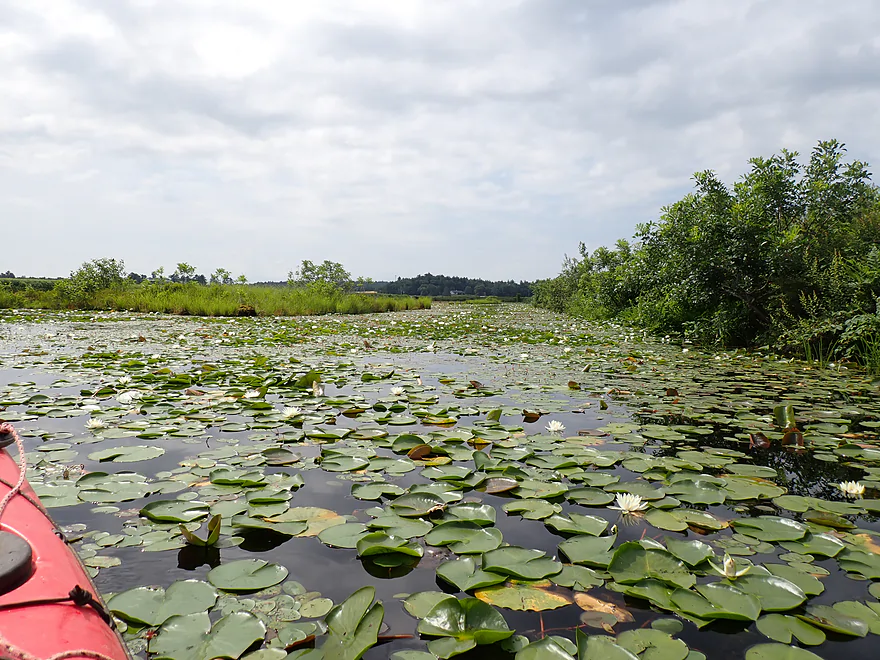
A little packed with water lilies…
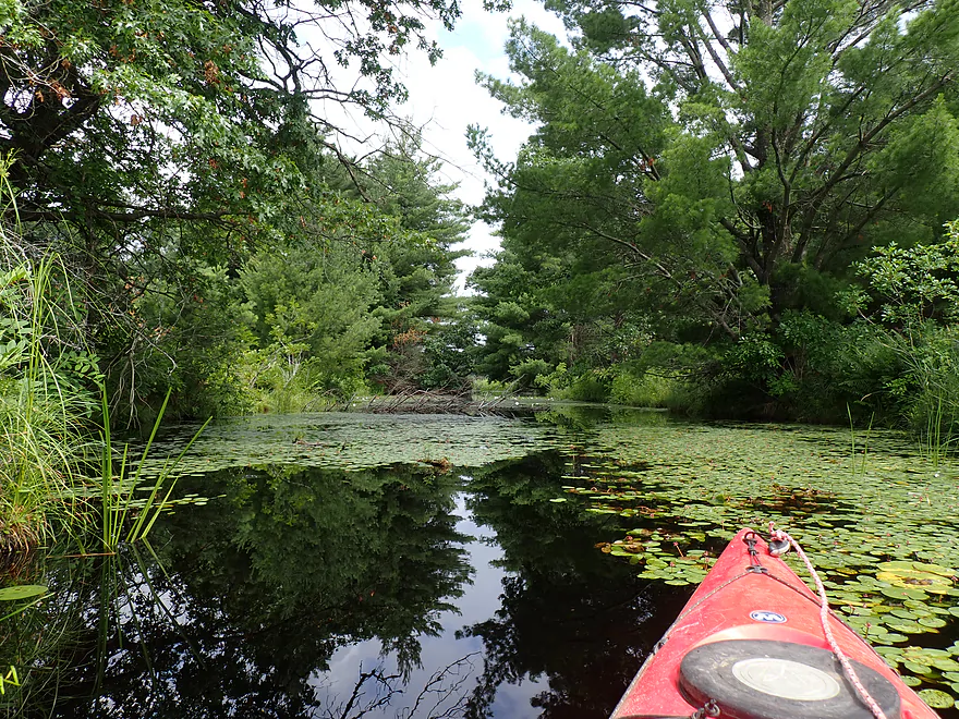
So I turned back
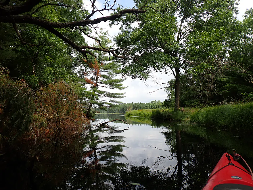
Nice reflections
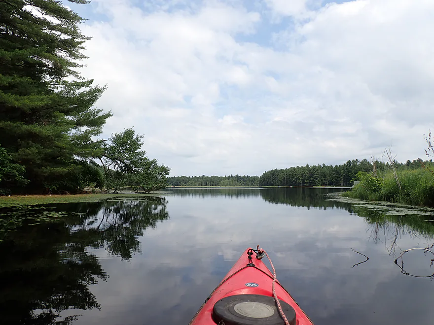
Back on Lake Wazeda proper
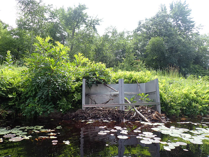
One of the old dike outlets (looks blocked by a beaver)
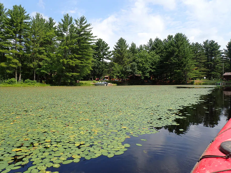
Following a line of lilies east
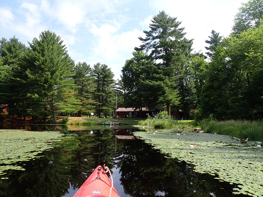
Small group of private homes on the east end

This small waterfall is the main lake outlet (and start of Beltz Creek)
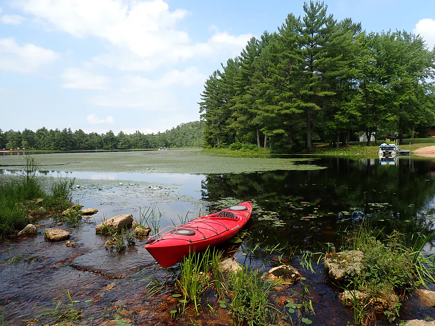
View back from the dam
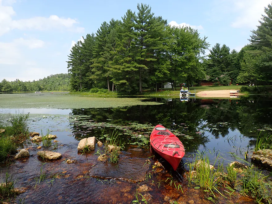
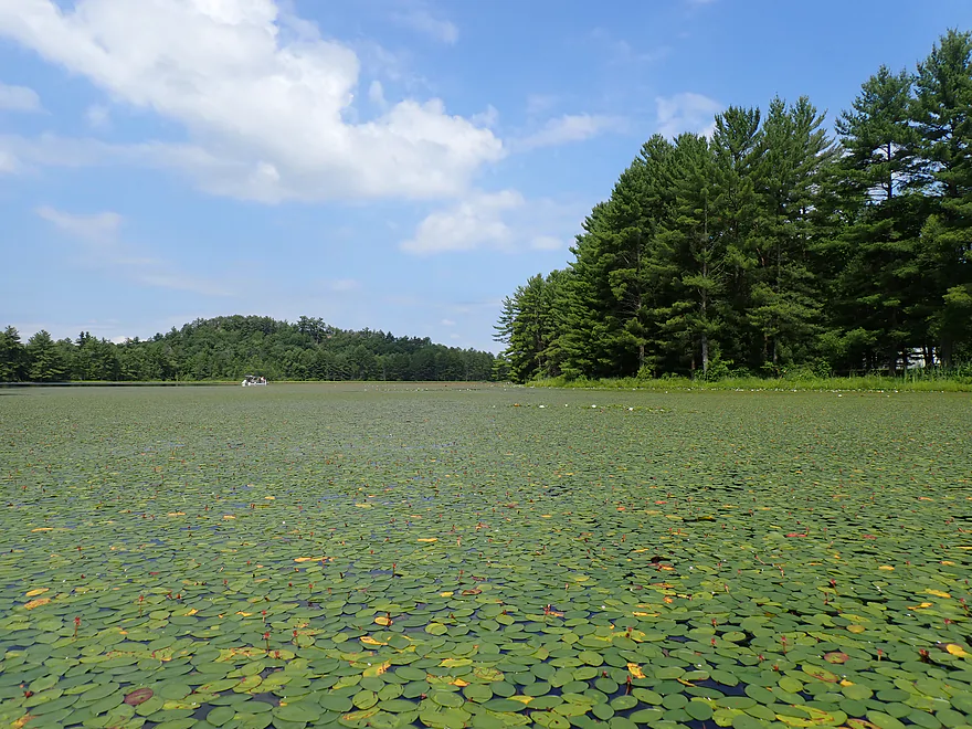
So many lilies
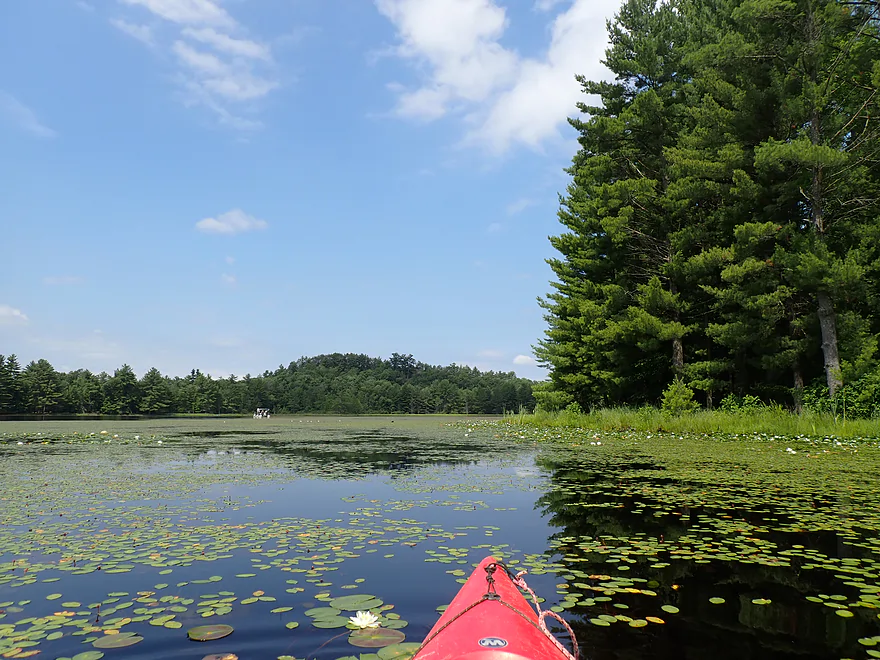
Following the east shore north
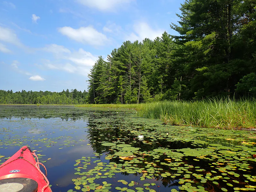
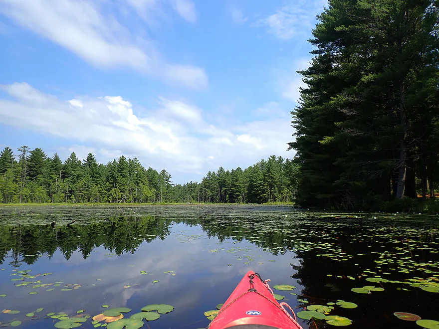
Checking out the northeastern creek inlet
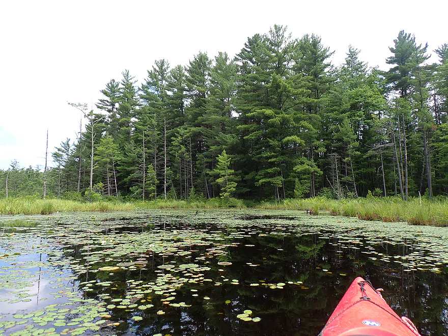
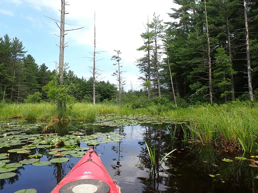
Didn’t get far before I had to turn around
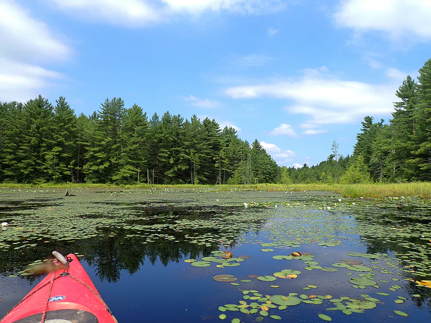
Now exploring the middle creek inlet
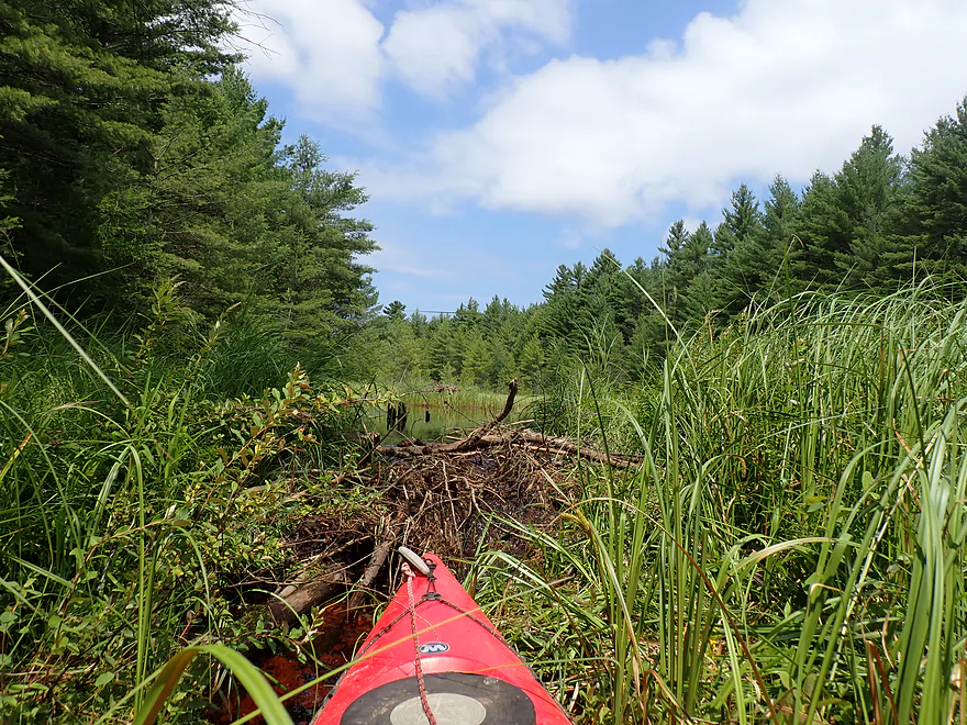
Surprised to find a small beaver dam
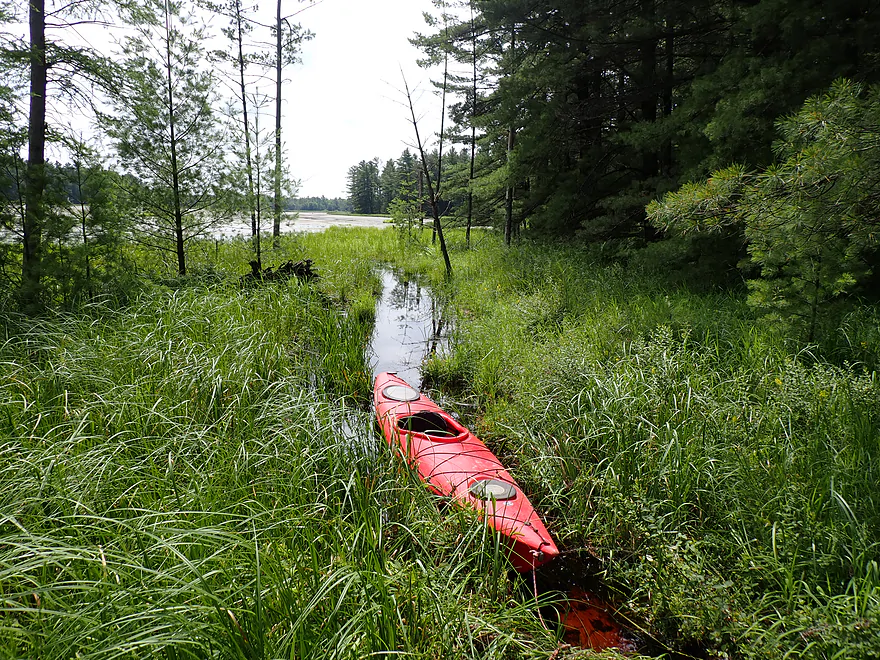
Easy portage
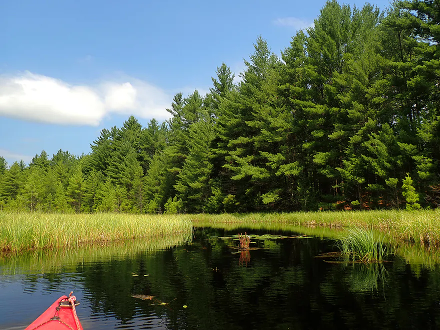
I’m now paddling a small beaver dam north of the lake
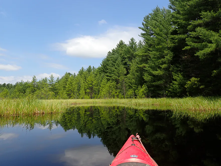
Really cool
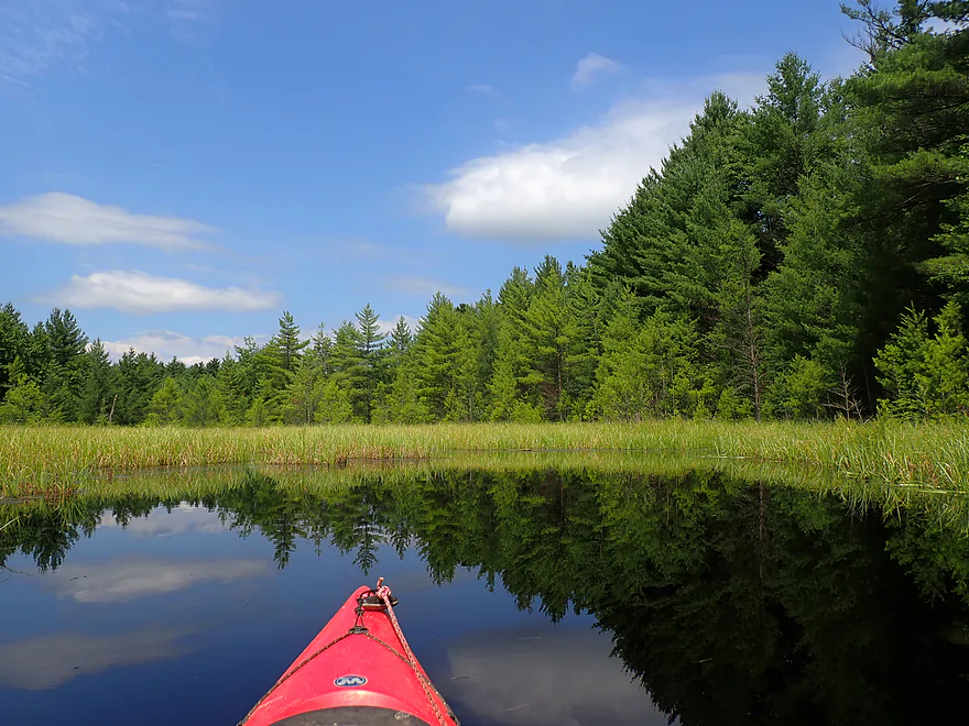
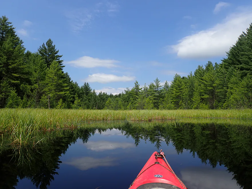
Great reflections
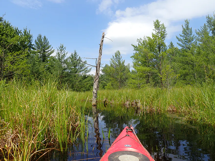
Creek starts to narrow
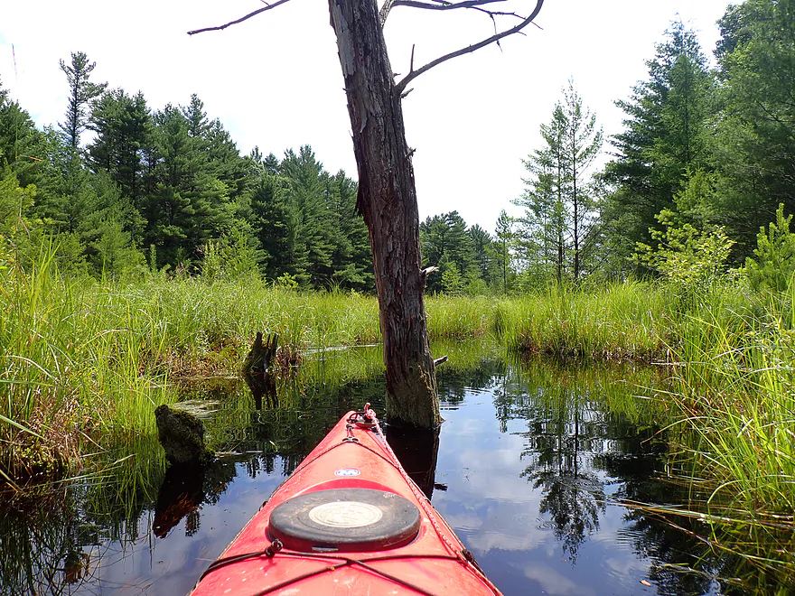
Time to turn around
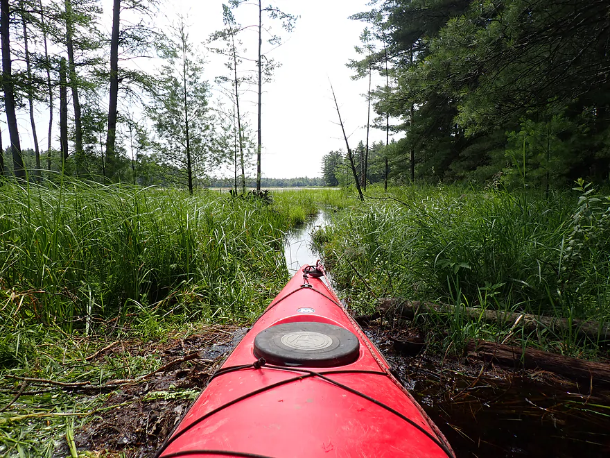
Hopping over the beaver dam
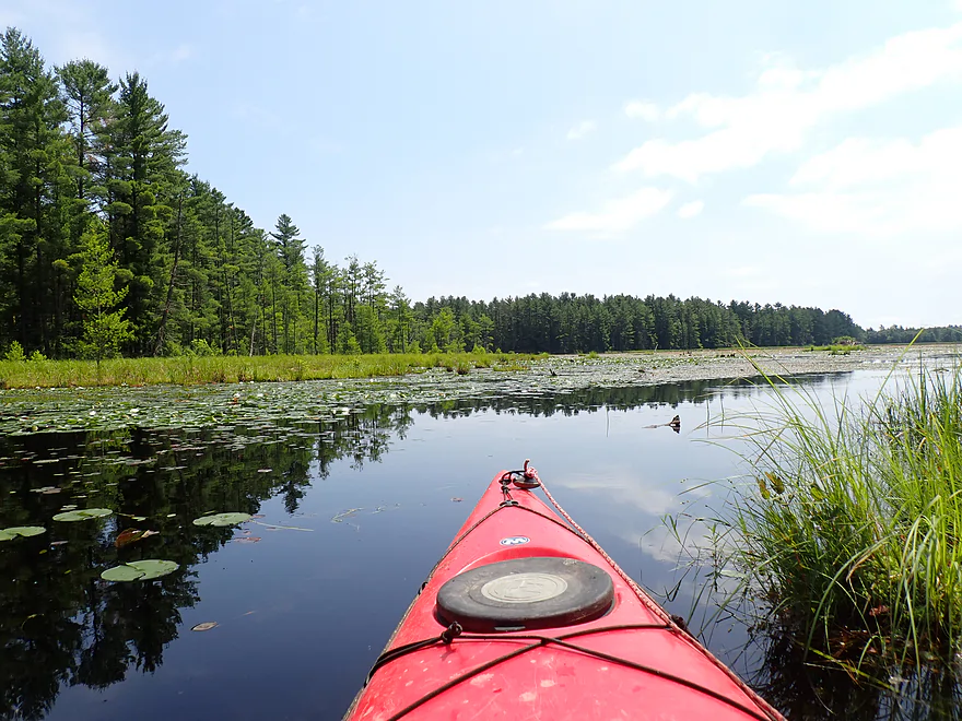
Back on the main lake
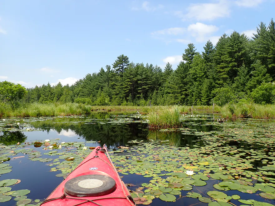
Now checking out the third inlet
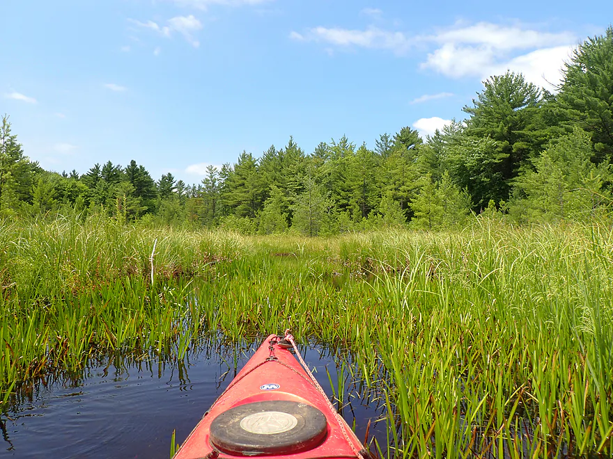
Didn’t get far before I had to turn around
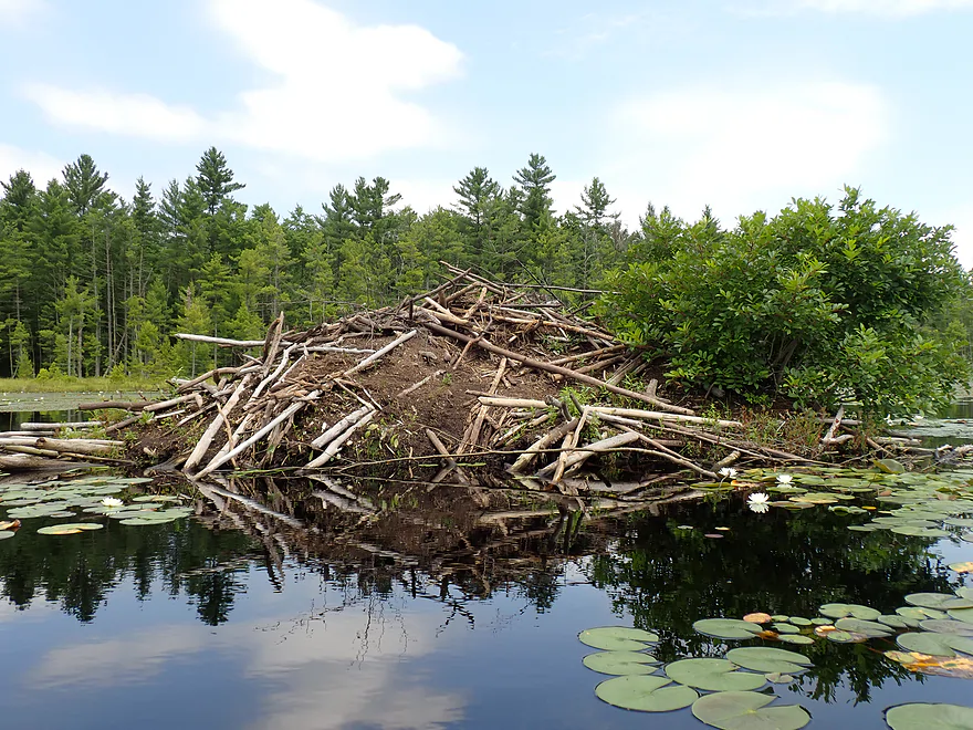
Huge beaver lodge
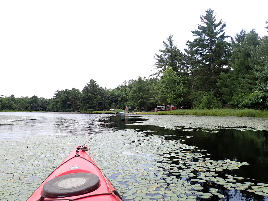
Heading back to the put-in
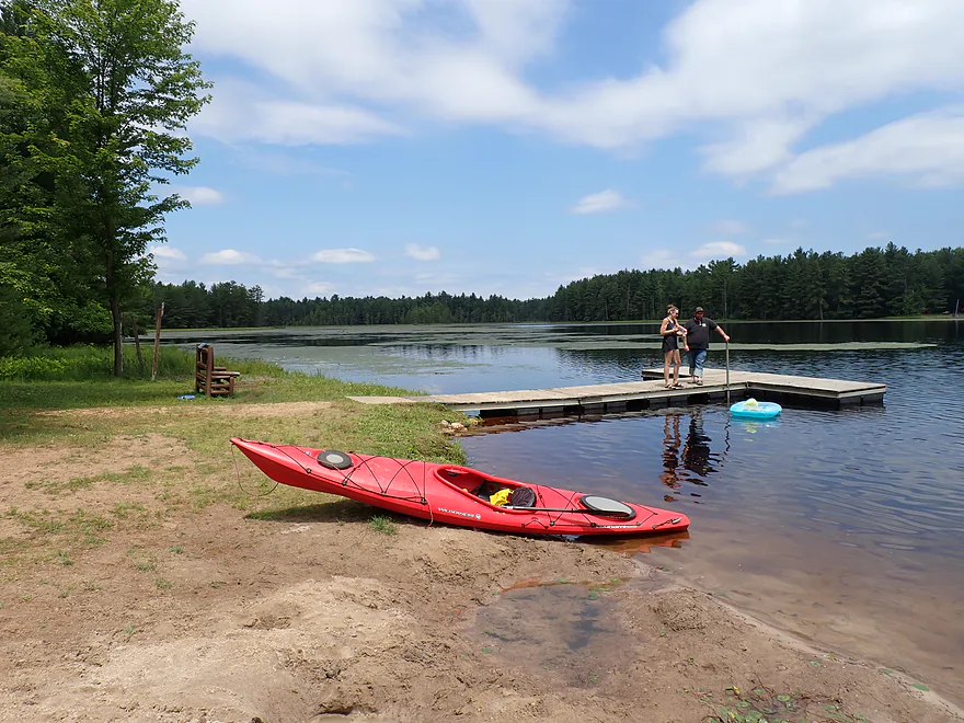
Nice access
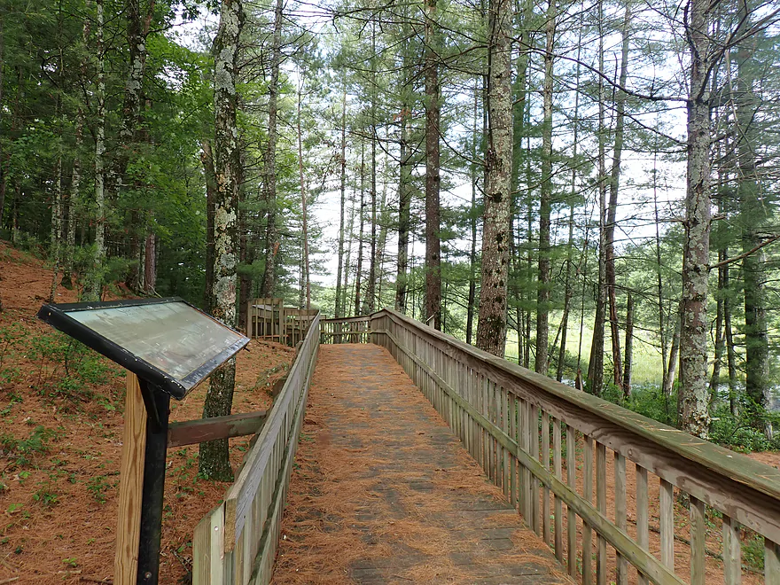
There is a 1.5 mile hiking trail nearby you can check out (part of McMullen County Park)
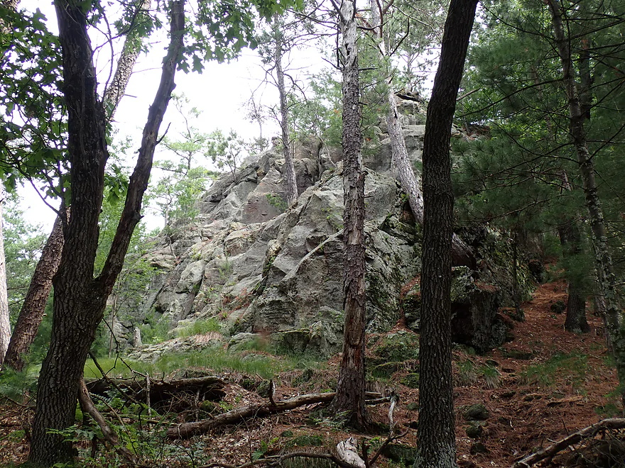
A side spur leads up Castle Rock with an overlook of the lake


Wazeda Lake


Situated between Tomah and Black River Falls, Lake Wazeda is a man-made flowage located next to McMullen Memorial County Park. Because it is no-wake and next to a busy campground, it’s a somewhat popular spot for paddlers, and I thought it would be interesting to document it. The trip started at the southeast beach and boat ramp—not very private and a bit busy, but otherwise a great launch option.
The south end of the lake featured a long dike and two outlets, and I decided to explore the far southern one first. Here, the lake narrowed into a small marshy channel that split west to feed a decent-sized cranberry lake, then ran south into a long, rectangularish lake hemmed in by cranberry dikes. Finding it choked with lilies and marsh plants, I decided to turn back to Lake Wazeda.
Following the dike northeast, I passed a blocked outlet before reaching the main outlet at the northernmost end. Here, a small rock dam and waterfall form the headwaters of Beltz Creek (ultimately a tributary to the Lemonweir River). Countless downed trees below the dam discouraged further exploration. Interestingly, this northern outlet isn’t on the maps; I suspect engineers recently relocated the channel north to protect the cranberry bogs from flooding.
I then turned around and paddled “upstream” (north) through the heart of the lake. To my left, I saw a handful of fishing boats and kayakers, the busy local campground, and “Castle Rock” towering over the water. There is actually a trail and an overlook atop the sandstone outcrop with a view of the lake if you’re interested in a post-trip excursion. To my right, the banks were lined with nice pine trees.
The north end of the lake features three small inlet creeks that form a trident. The easternmost fork was the most congested, with marshy vegetation and thick grasses. I barely got far into the mouth before turning around. The middle fork was my favorite. After portaging a small beaver dam, I was able to paddle upstream into a small but attractive beaver pond flanked by marsh plants and pines. The west fork featured a larger delta of marsh plants, but I was only able to head upstream for about 500 feet before I ran out of channel. I returned to the main lake where I checked out a massive beaver lodge (it looks like a small island from satellite imagery), and then returned back to the boat launch to end the trip.
In summary, this was a somewhat disappointing trip. It’s not bad, and locals like it. But, IMO it was just a bit small, unvaried, and heavily congested with aquatic vegetation (perhaps an early spring paddle would work better). The main highlights of the lake are its crooks, inlets, and outlets, which I don’t think most paddlers explore. Still, I don’t believe seasoned paddlers will find these interesting enough to justify a destination paddle—it’s more of a side excursion for those already camping in the area. If you are looking to kayak a nice lake east of Black River Falls, I suggest Potter Flowage or Wazee Lake instead (both of which are way better).
Sights included dragonflies, deer, a few flopping fish, one beaver dam and a beaver lodge. Unfortunately there were a lot of flies and some mosquitoes.
Alt Access Points: None really.
McMullen Park – Camping: This is a popular campground (perhaps a bit too popular), but it’s not a bad overnight option as the campsites are quite wooded and the bathrooms have showers. The most secluded spots will be the walk-ins at the north end of the campground.
McMullen Park – Hiking/Overlook: At the north end of the park is a 1.5-mile trail that wraps around Castle Rock (a scenic sandstone bluff). The bluff itself, however, is heavily wooded, so there aren’t many views of the rock face. On the southwest corner, a small side trail leads up to the top. From here, there are nice views to the south (examples).
Warrens Cranberry Festival: If you are in the area at the end of September, this is an interesting event to check out (parade, crafts fair, bog tours, and lots of food).
Rentals: Kayak rentals are available at the beach if you don’t have a boat. There is a self-service station on-site where you can pay with a smartphone.
Wind: Avoid the lake when windy.
Weeds: While the south end was mostly clear, the north end featured quite a bit of aquatic vegetation. I did the trip in early July and didn’t have too much difficultly navigating through, but in late summer and fall this could be more of an issue.
Trip Map
Video
Photos Size:
How did your trip turn out? Questions or comments? Feel free to leave your feedback.
